Trails near Creazzo
76 hikes starting within 15 km, nearest first.
Nearest first, page 2 of 2
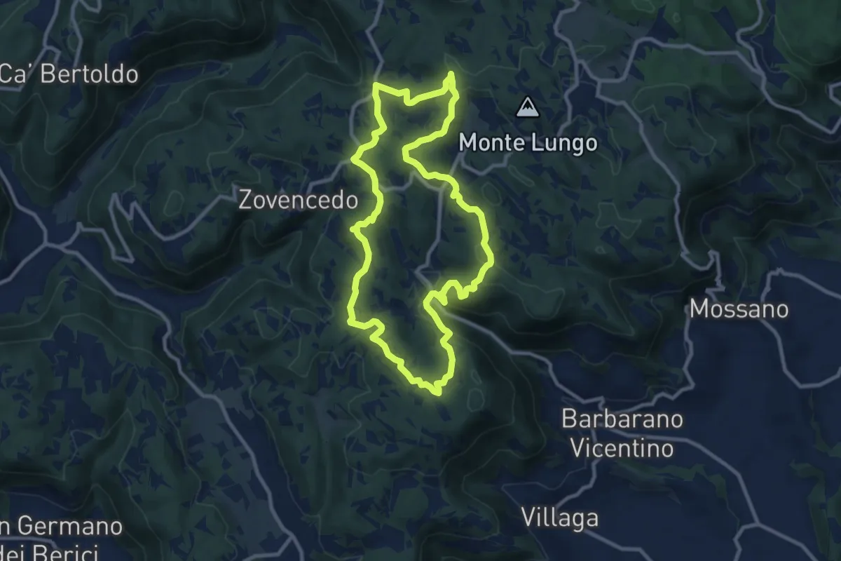
Medium · Summit
Sentiero delle Fontanelle
9.6 km · ↑ 302 m · 3 h 4 min · 11 km away
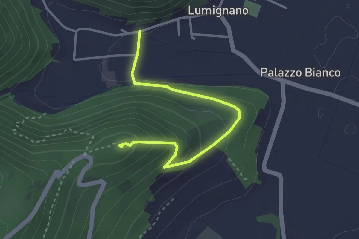
Expert · Summit
Sentiero del Col della Guerra
2.9 km · ↑ 174 m · 1 h 3 min · 12 km away
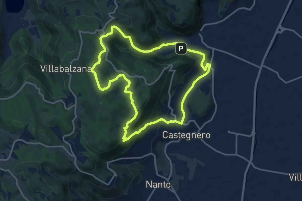
Medium · Trail
Sentiero del Monte delle Rose
9.0 km · ↑ 435 m · 3 h 12 min · 12 km away
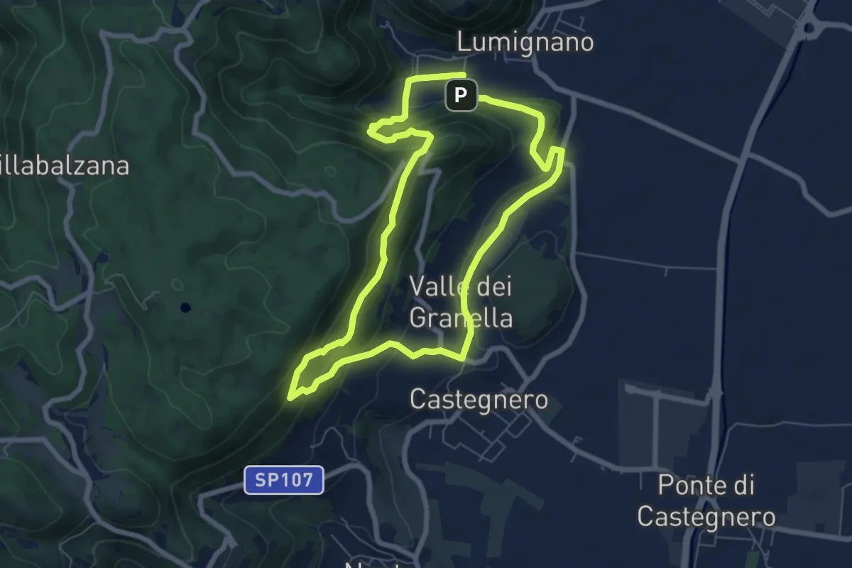
Expert · Summit
Sentiero dei Sengi Bei
6.3 km · ↑ 384 m · 2 h 24 min · 12 km away
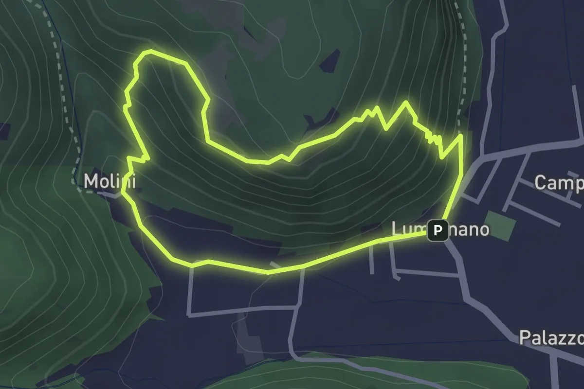
Demanding · Summit
Sentiero della Croce
2.7 km · ↑ 207 m · 1 h 7 min · 12 km away
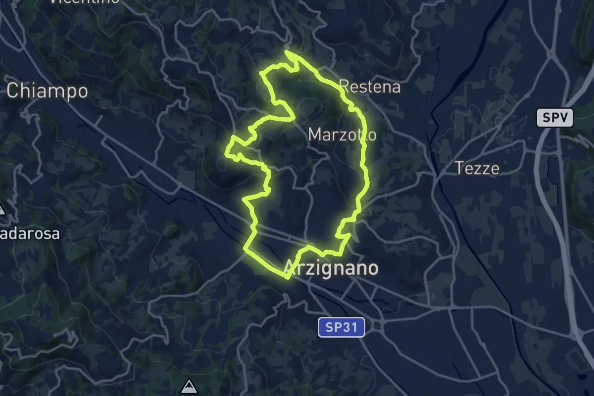
Medium · Trail
Sentiero Arancio
12.8 km · ↑ 382 m · 4 h 2 min · 12 km away
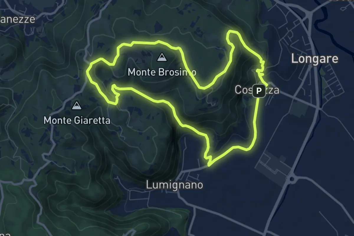
Demanding · Trail
Sentiero del Monte Brosimo
8.7 km · ↑ 313 m · 2 h 50 min · 12 km away
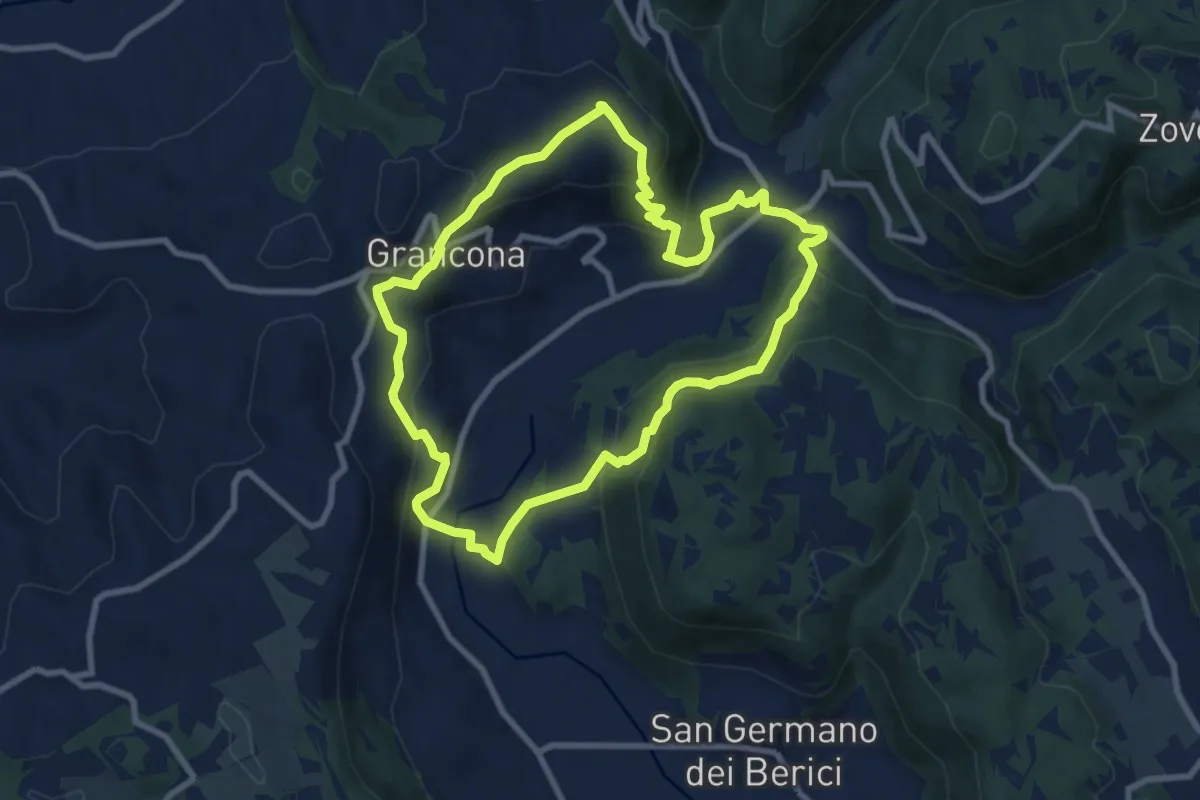
Medium · Summit
Sentiero n. 61 panoramico Pederiva - Spiazzo o di Val Liona
8.5 km · ↑ 432 m · 3 h 3 min · 12 km away
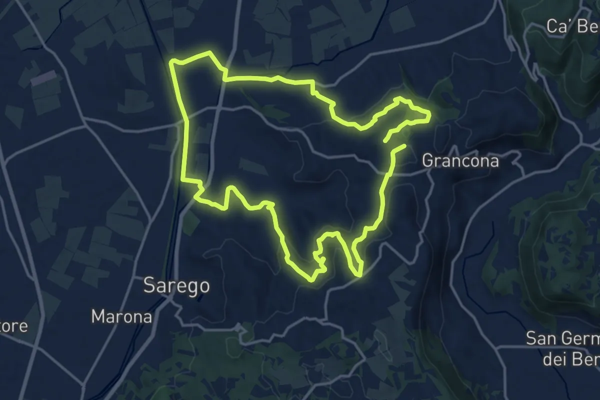
Demanding · Summit
Sentiero dei Monti di Meledo
27.6 km · ↑ 762 m · 8 h 10 min · 12 km away
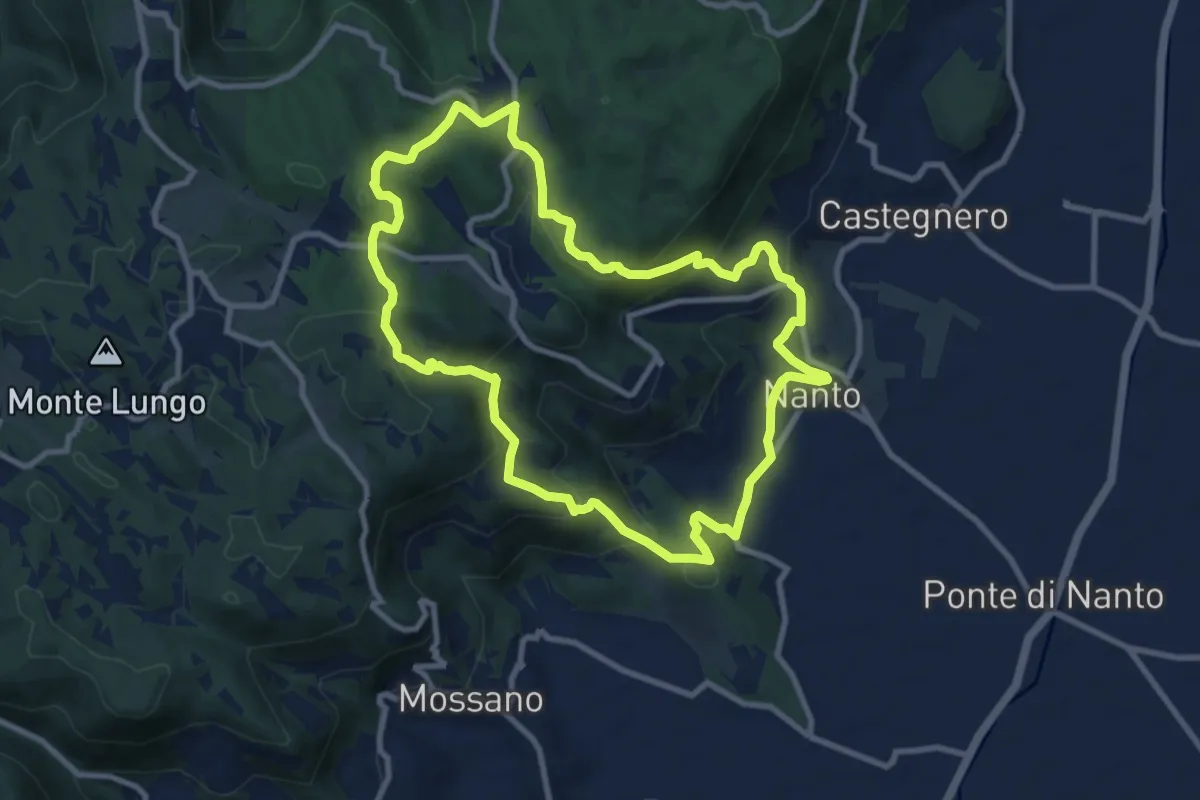
Medium · Summit
Sentiero dei Monti di Nanto
9.5 km · ↑ 452 m · 3 h 21 min · 12 km away
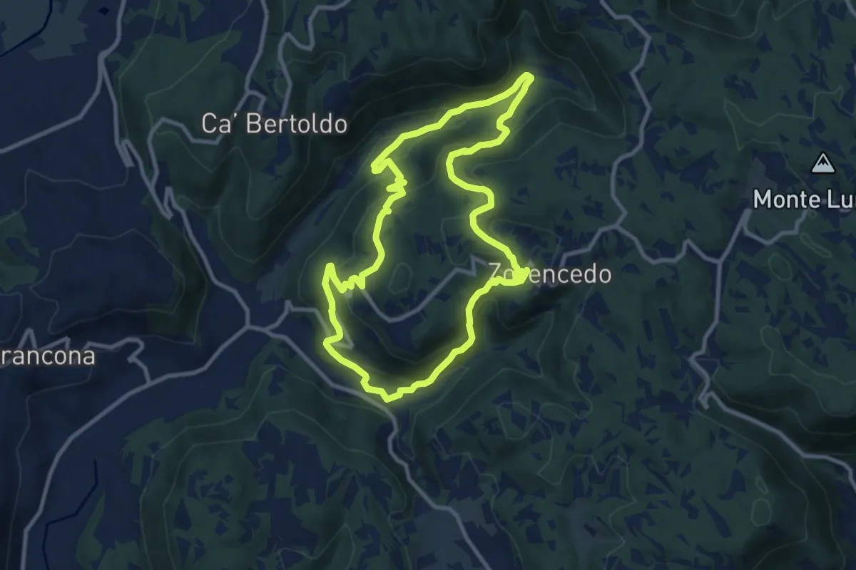
Medium · Trail
Life+ Zovencedo Calto San Gottardo
9.2 km · ↑ 449 m · 3 h 16 min · 12 km away
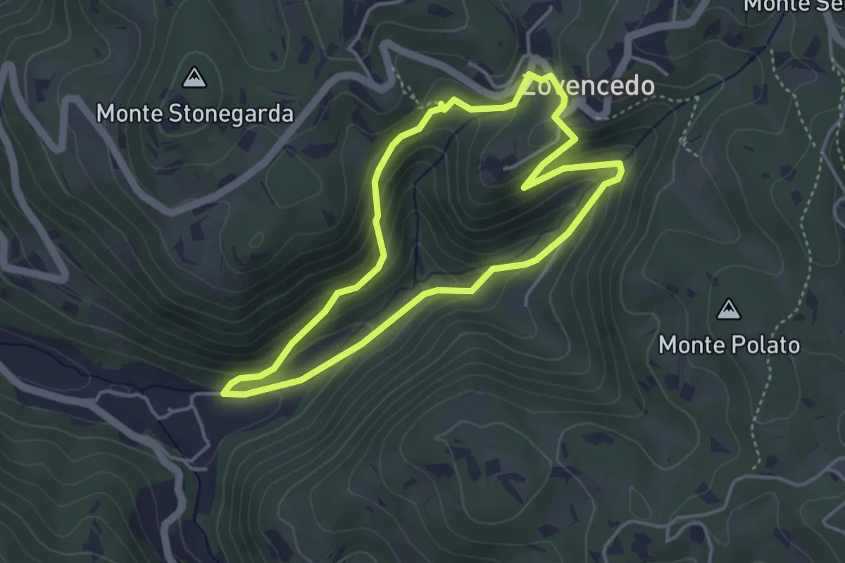
Easy · Trail
Itinerario pedonale 3 di Corte Calto - Zovencedo
3.7 km · ↑ 201 m · 1 h 22 min · 12 km away
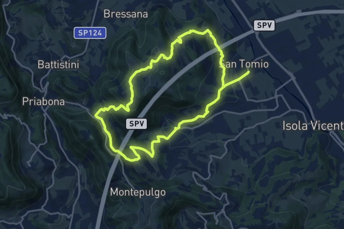
Medium · Trail
Giro panoramico del Monte Pian
10.4 km · ↑ 452 m · 3 h 34 min · 13 km away
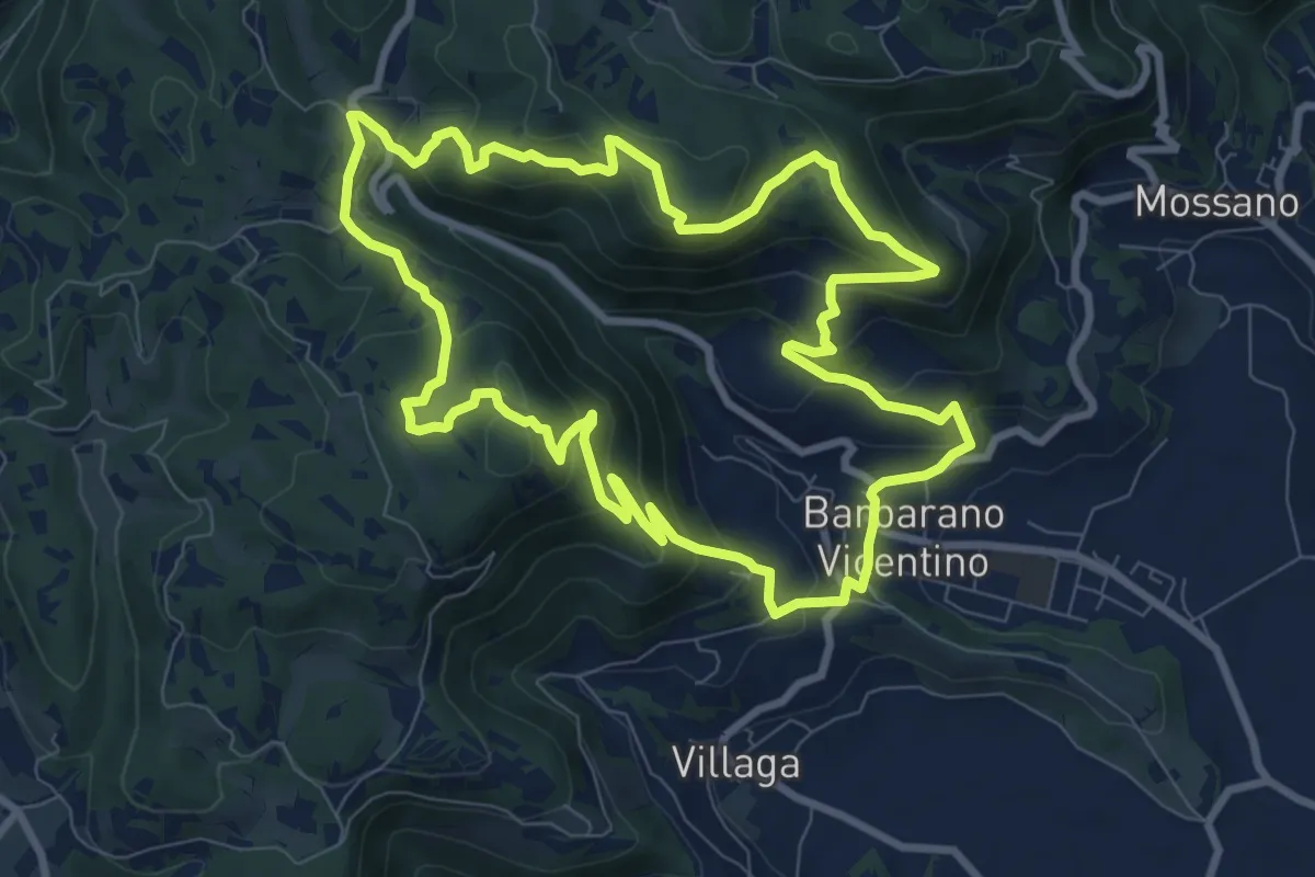
Medium · Summit
Sentiero della Cengia
9.4 km · ↑ 500 m · 3 h 25 min · 13 km away
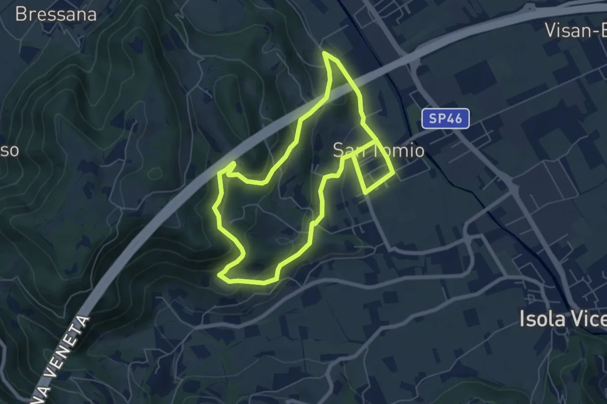
Medium · Trail
Sentiero degli Asini
11.8 km · ↑ 411 m · 3 h 41 min · 13 km away
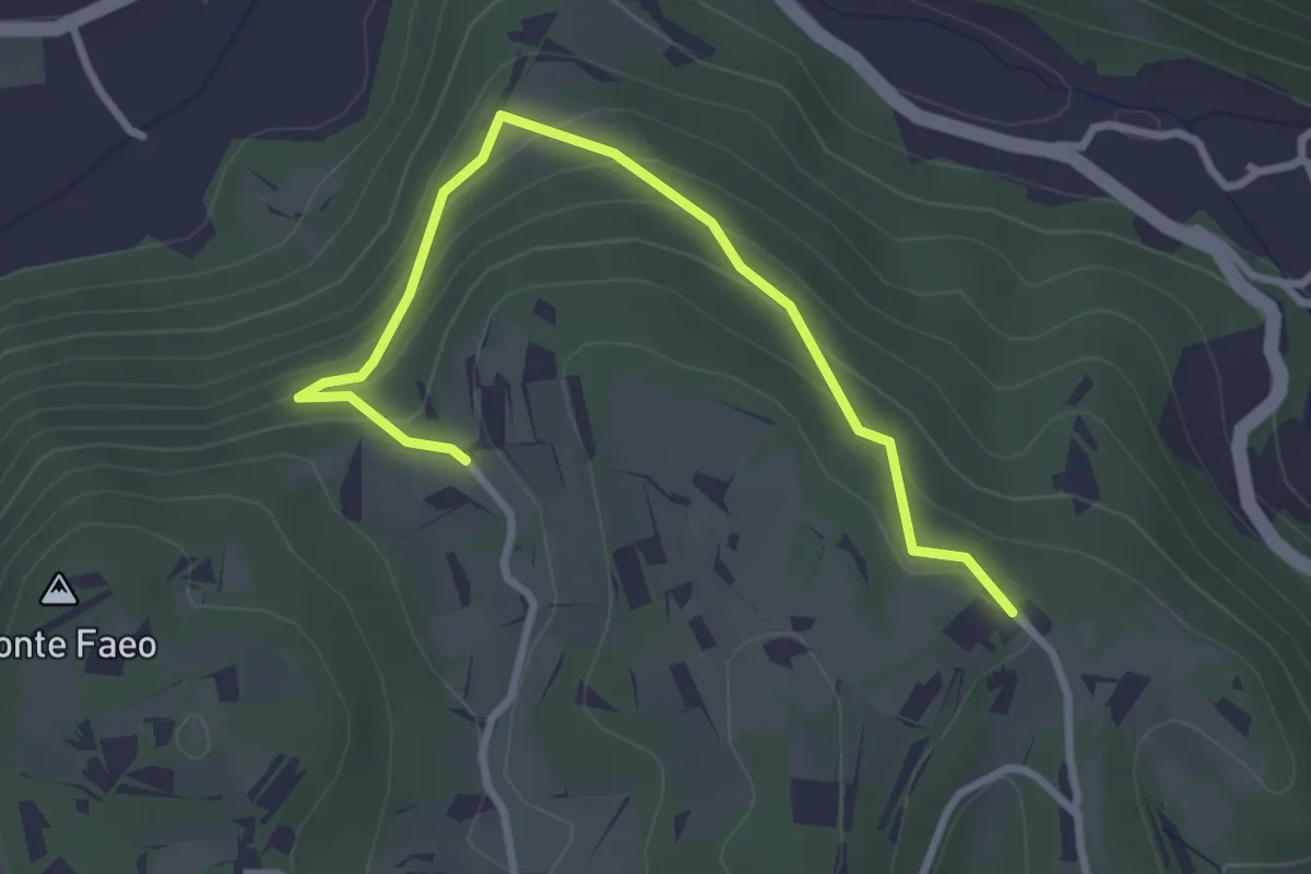
Easy · Trail
Sentiero n. 53 variante della Fontana dei Casalini
3.3 km · ↑ 194 m · 1 h 12 min · 13 km away
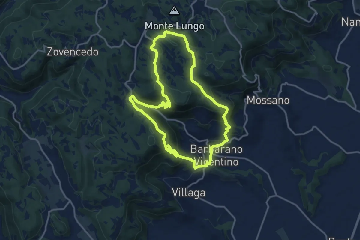
Medium · Summit
Sentiero della Scudelletta
10.0 km · ↑ 558 m · 3 h 43 min · 13 km away
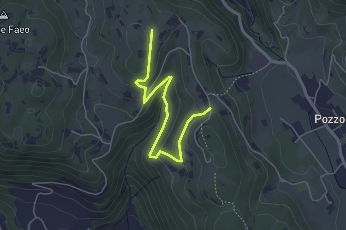
Easy · Trail
Sentiero n. 53 variante delle Vaccarette o della Fontana del Marcolin
4.4 km · ↑ 145 m · 1 h 21 min · 13 km away
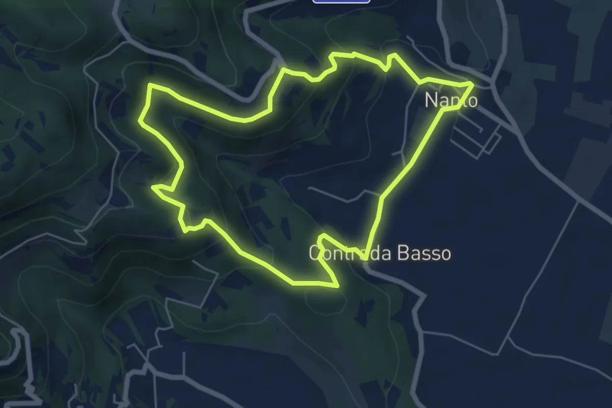
Medium · Trail
Sentiero degli Ulivi
5.3 km · ↑ 250 m · 1 h 52 min · 13 km away
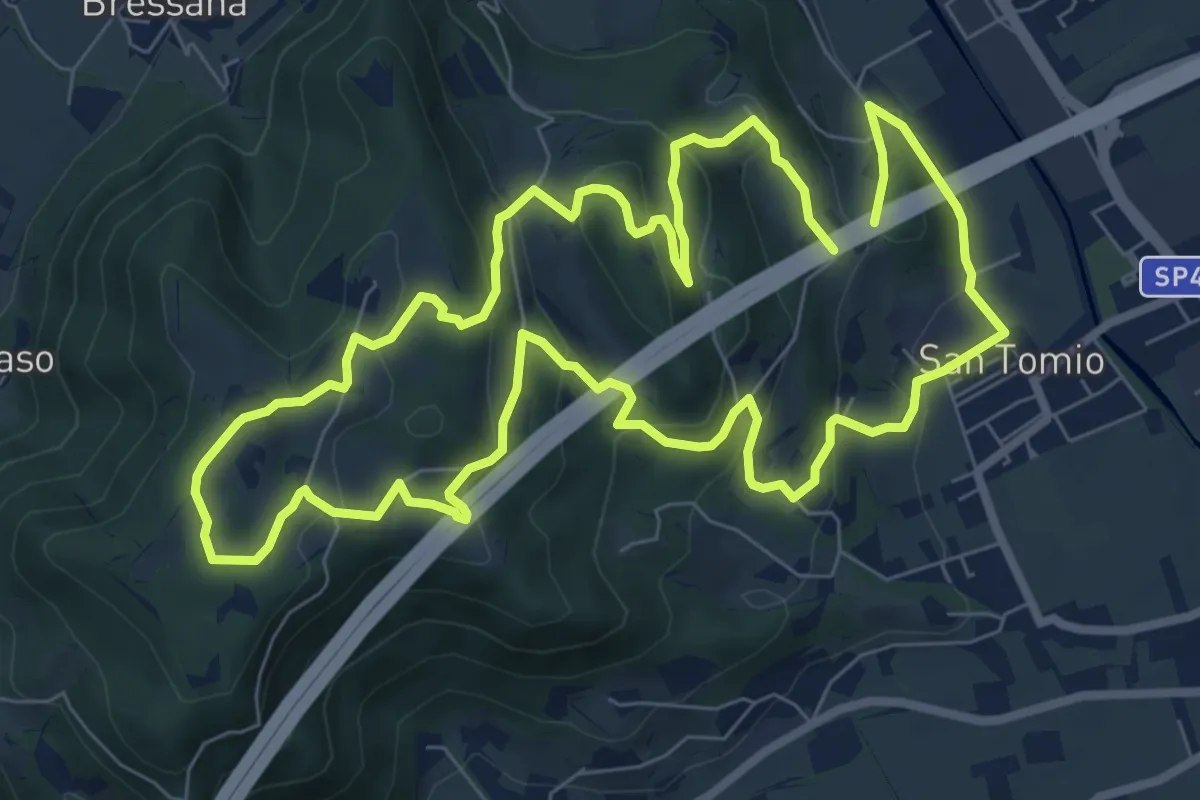
Medium · Trail
Primo sentiero della Memoria (o Dei Capitelli)
8.4 km · ↑ 358 m · 2 h 51 min · 13 km away
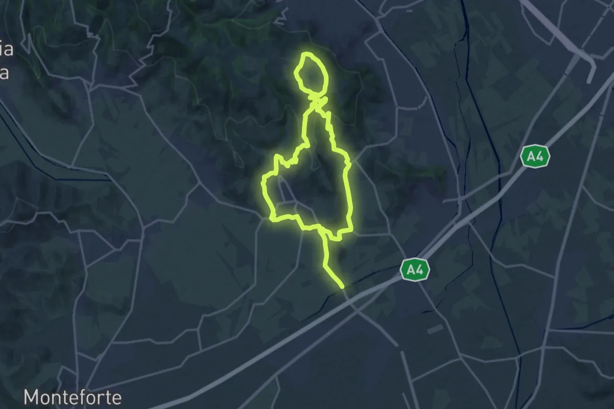
Medium · Trail
Strada del Recioto e dei vini di Gambellara
14.5 km · ↑ 364 m · 4 h 25 min · 13 km away
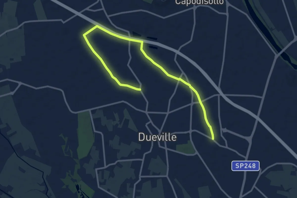
Medium · Trail
Percorso Fucsia
10.9 km · ↑ 17 m · 2 h 36 min · 13 km away
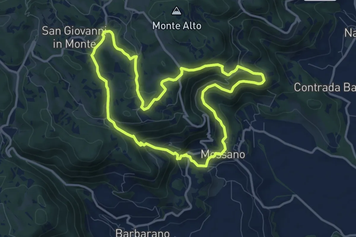
Medium · Summit
Sentiero di San Bernardino
8.9 km · ↑ 389 m · 3 h 3 min · 14 km away
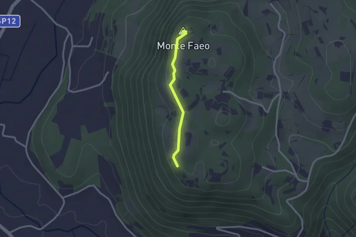
Easy · Summit
Sentiero n. 53 Variante del Monte Faeo
1.8 km · ↑ 29 m · 29 min · 14 km away
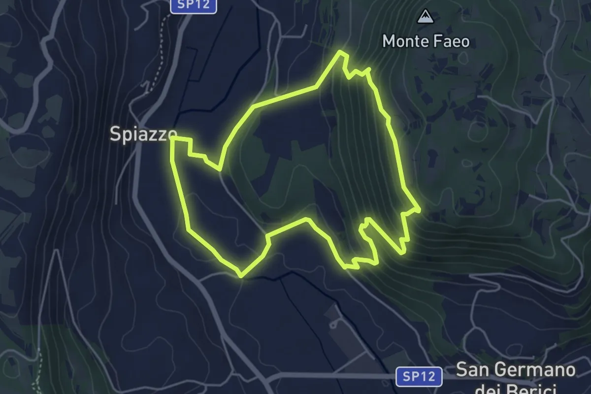
Easy · Trail
Sentiero n. 65 della Madonnetta o dei Frati
4.5 km · ↑ 229 m · 1 h 37 min · 14 km away
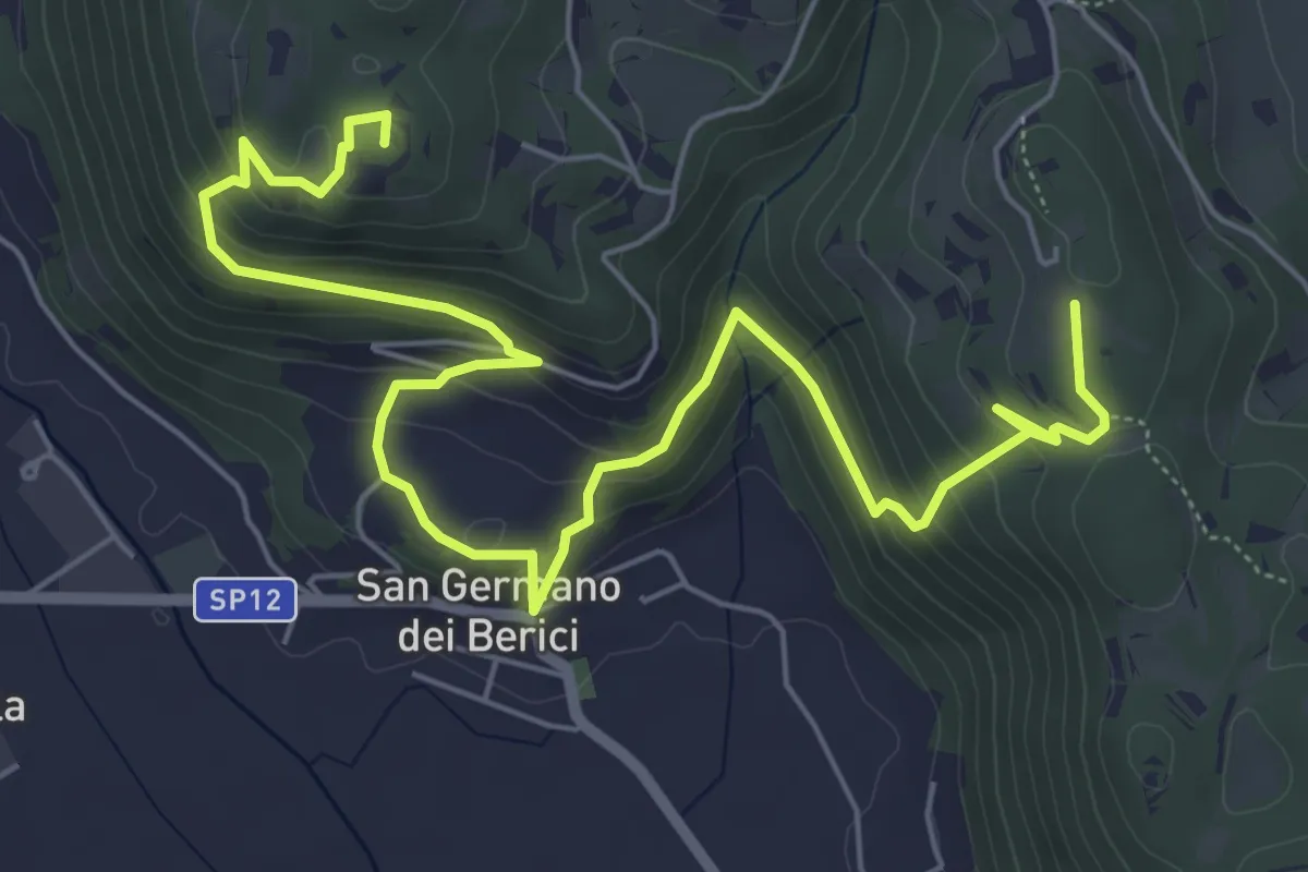
Medium · Summit
Sentiero n. 53 dei Curì e della Lupia (o di San Germano)
8.7 km · ↑ 500 m · 3 h 9 min · 14 km away
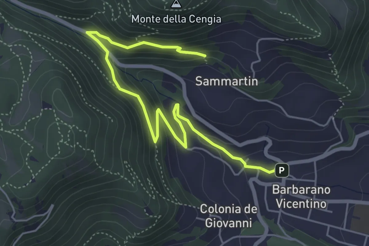
Medium · Trail
Sentiero della Fontana del Lavello
5.9 km · ↑ 329 m · 2 h 7 min · 14 km away
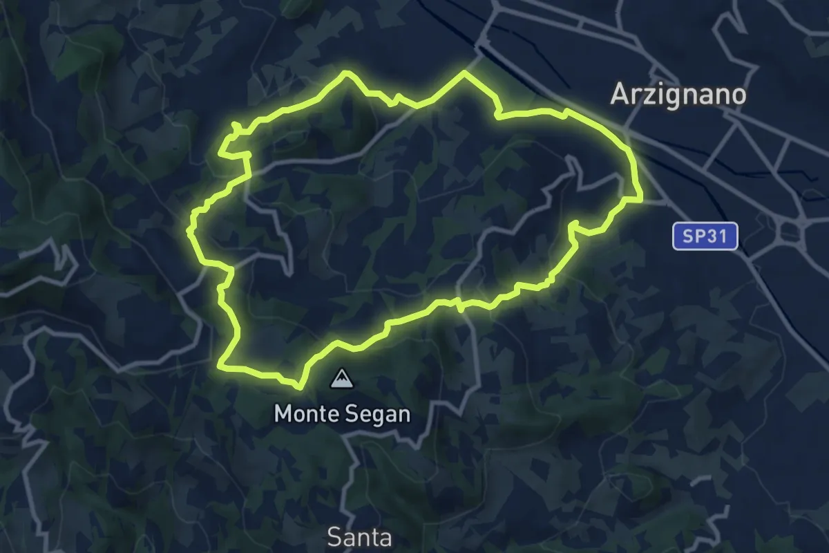
Medium · Trail
Sentiero Blu
9.8 km · ↑ 421 m · 3 h 22 min · 14 km away