Trails near Darfo Boario Terme
245 hikes starting within 15 km, nearest first.
Nearest first, page 5 of 6
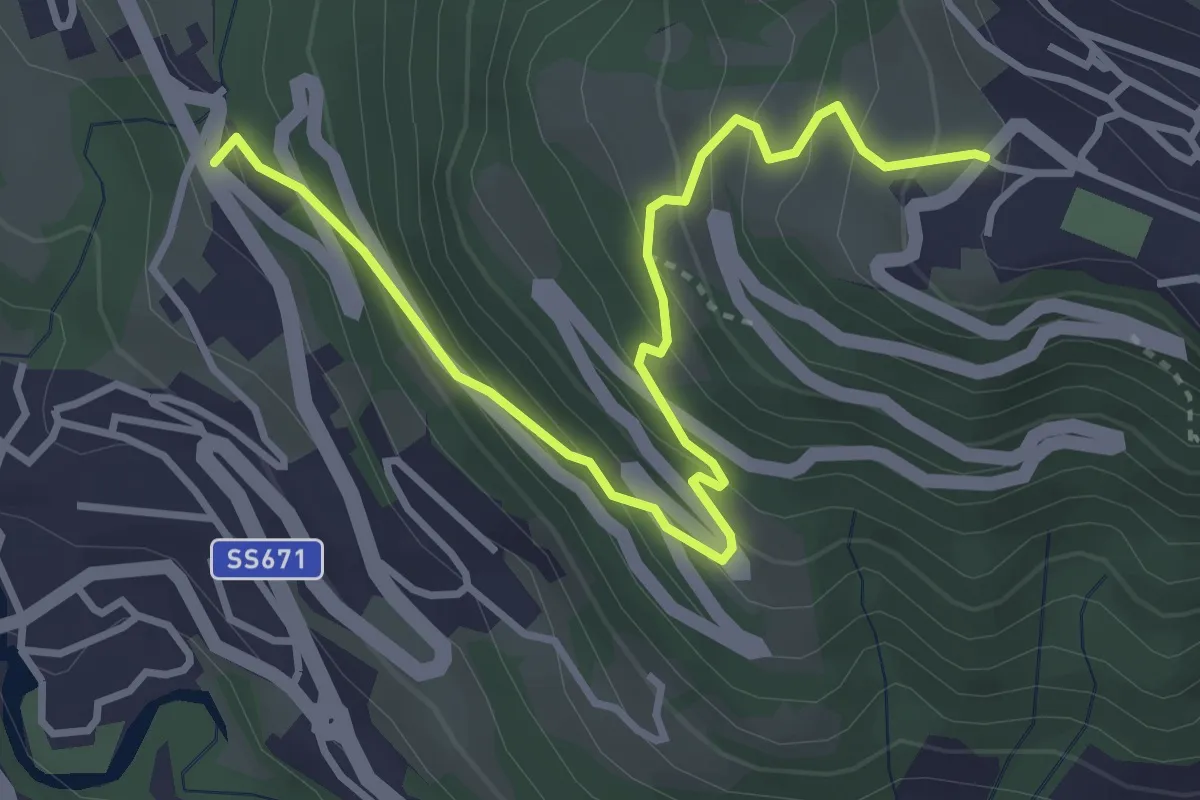
Medium · Trail
Castinic
4.1 km · ↑ 359 m · 1 h 45 min · 13 km away
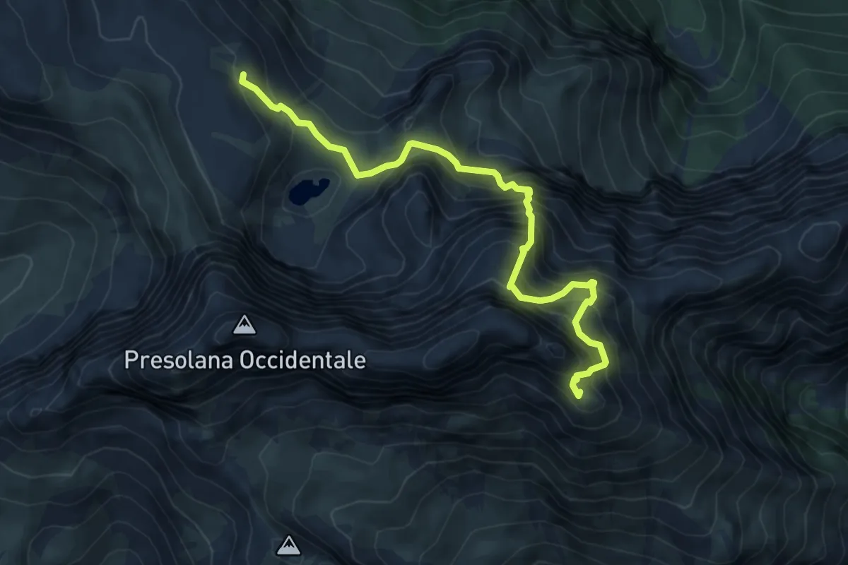
Expert · Summit
Rifugio Albani – Monte Visolo
6.4 km · ↑ 996 m · 3 h 40 min · 13 km away
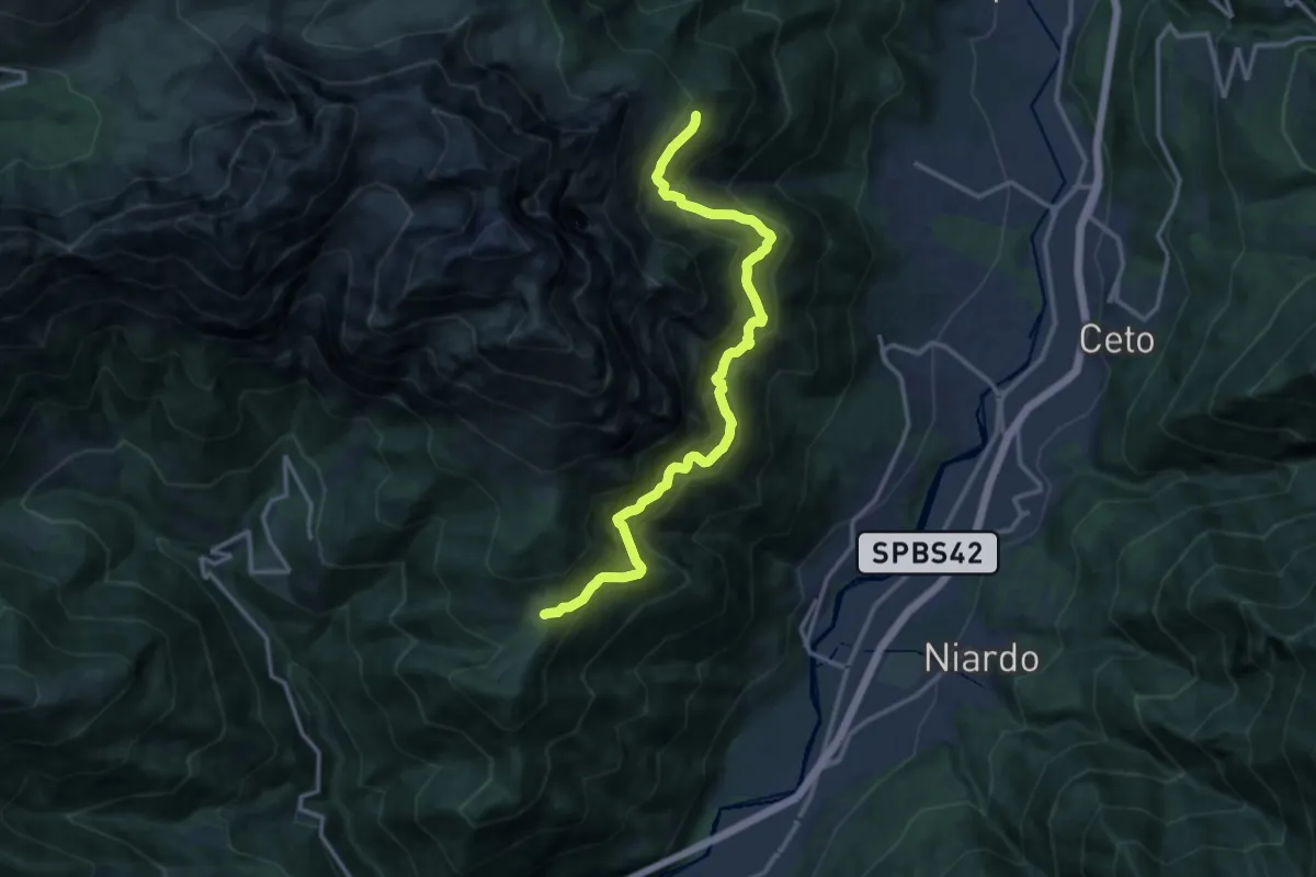
Demanding · Trail
Sentiero dei contrabbandieri
14.1 km · ↑ 1525 m · 6 h 38 min · 14 km away
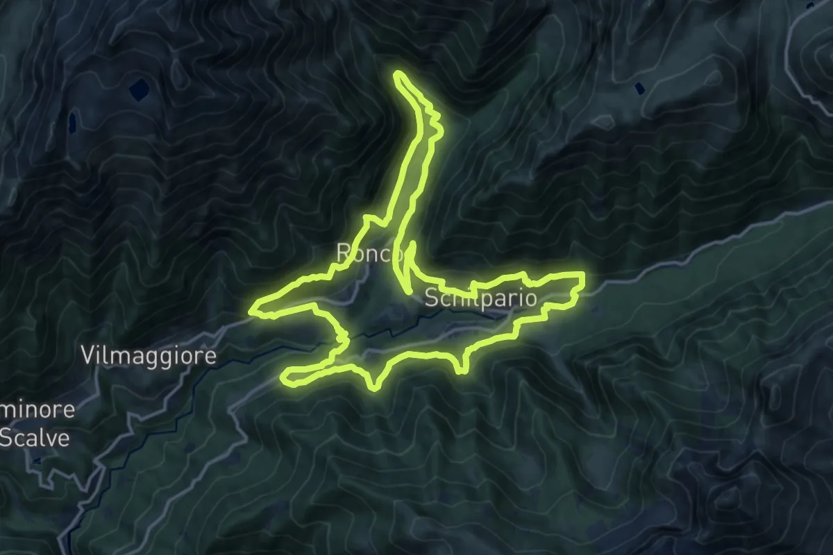
Demanding · Trail
Alla Scoperta di Schilpario
16.0 km · ↑ 836 m · 5 h 49 min · 14 km away
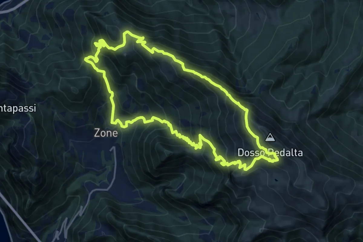
Demanding · Summit
Malghe in Rete - Anello 3 - Tredici Piante
15.1 km · ↑ 1310 m · 6 h 36 min · 14 km away
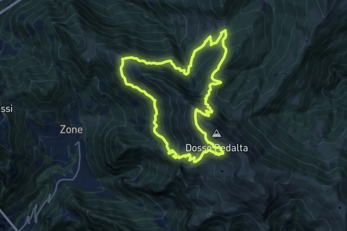
Demanding · Summit
Malghe in Rete - Anello 4 - Punta Caravina
13.5 km · ↑ 1036 m · 5 h 37 min · 14 km away
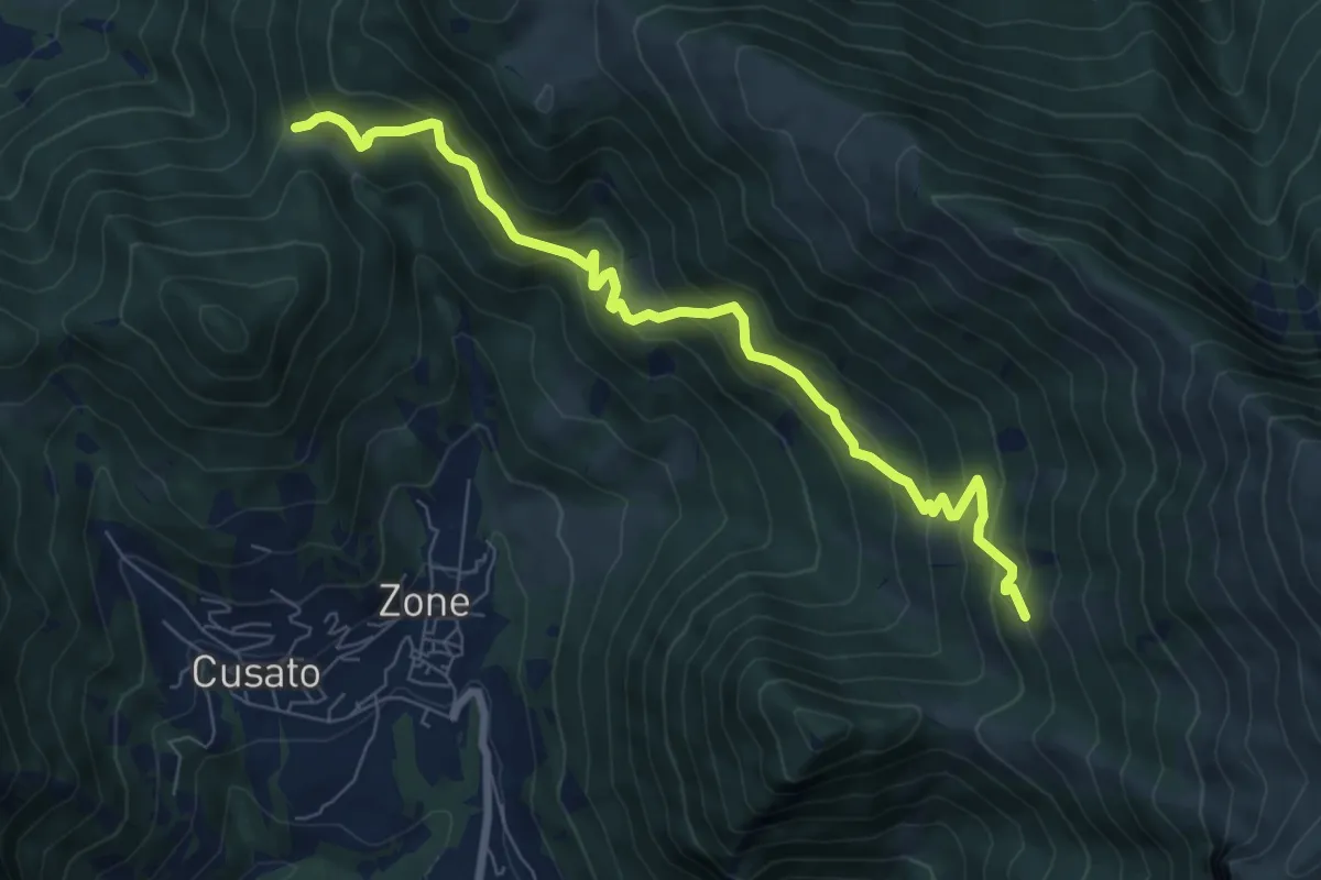
Medium · Trail
Sentiero dei Grap
7.9 km · ↑ 666 m · 3 h 19 min · 14 km away
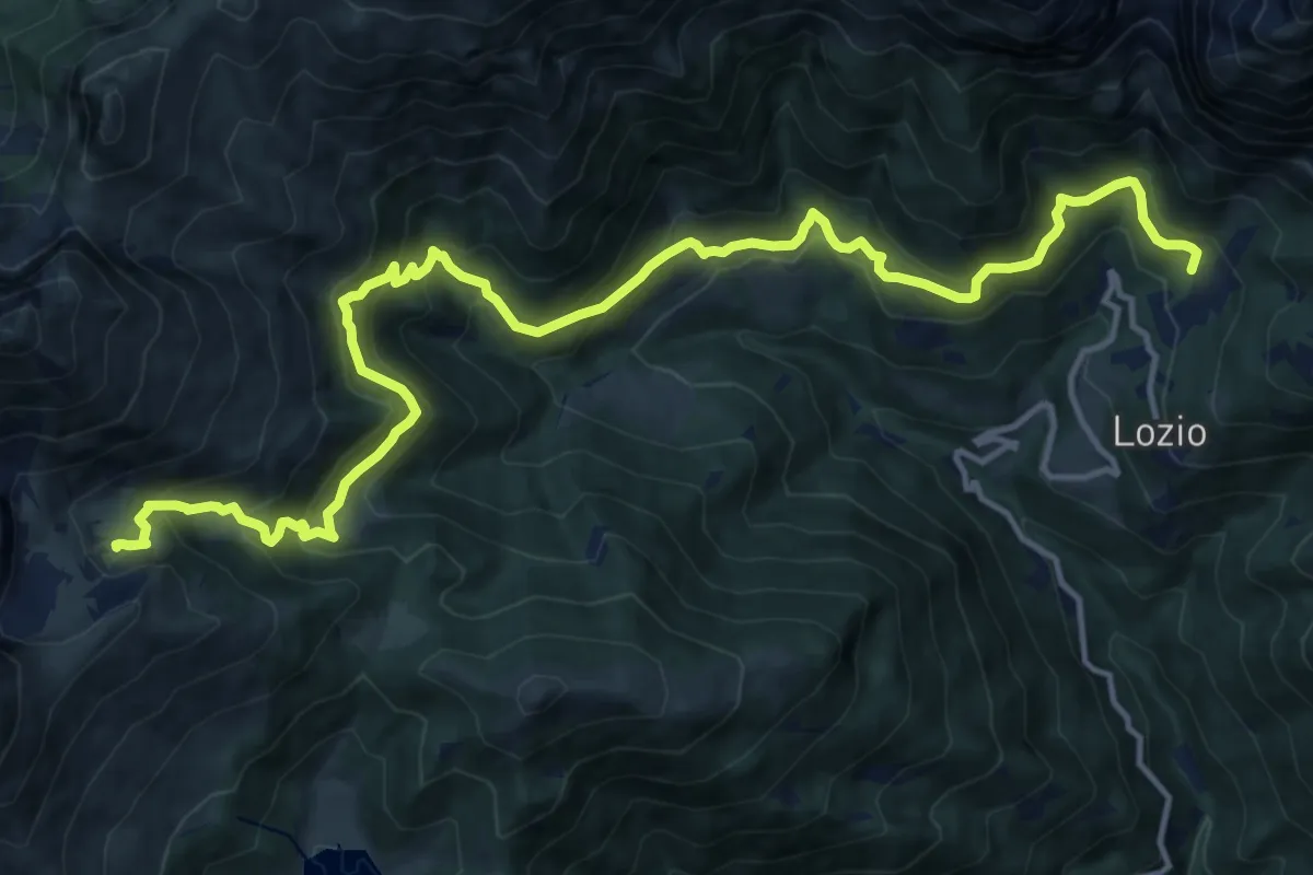
Demanding · Cabin
Lozio (Sommaprada) – Rifugio Gualtiero Laeng
17.9 km · ↑ 1136 m · 6 h 41 min · 14 km away
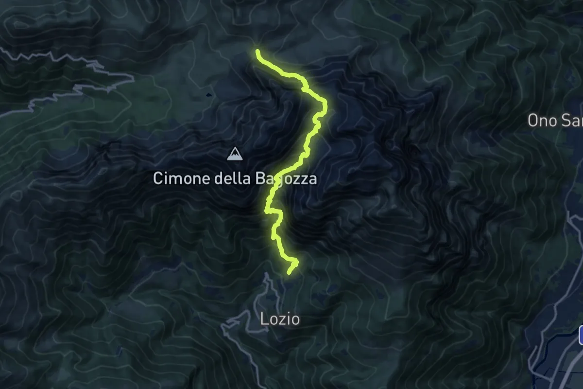
Expert · Trail
Sommaprada – Passo Campelli
12.4 km · ↑ 1630 m · 6 h 28 min · 14 km away
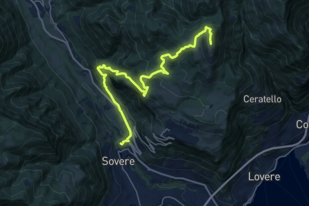
Expert · Summit
Cammino dei tre laghi - Tappa 5
18.5 km · ↑ 1259 m · 7 h 6 min · 14 km away
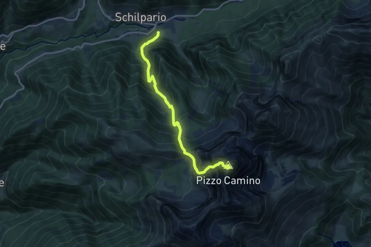
Expert · Summit
Schilpario (Museo Etnografico) – Pizzo Camino
9.5 km · ↑ 1322 m · 5 h 6 min · 14 km away
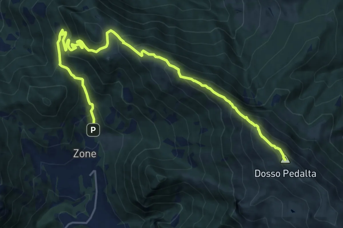
Demanding · Summit
Zone – Monte Guglielmo
17.0 km · ↑ 1277 m · 6 h 47 min · 14 km away
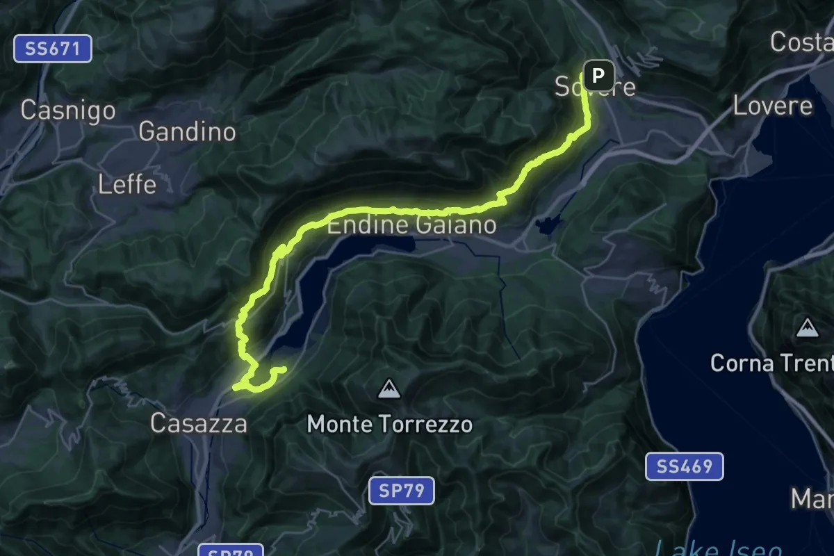
Demanding · Trail
Cammino dei tre laghi - Tappa 1
17.0 km · ↑ 852 m · 6 h 6 min · 14 km away
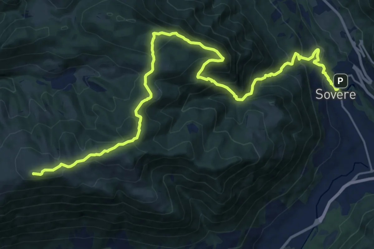
Demanding · Summit
Cammino dei tre laghi - Variante 1a + 6a Tappa
21.1 km · ↑ 1437 m · 8 h 5 min · 14 km away
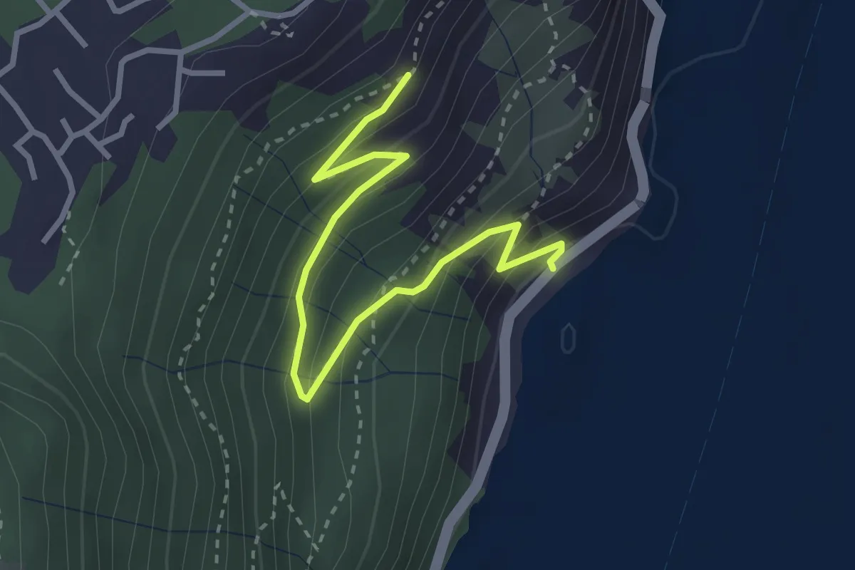
Medium · Trail
Gre' (Castro) – Incrocio 565
3.2 km · ↑ 251 m · 1 h 18 min · 14 km away
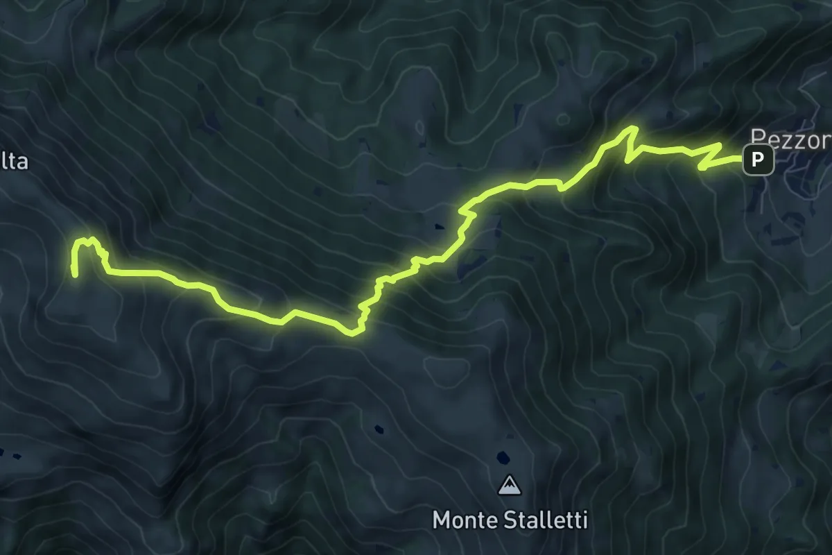
Demanding · Summit
Tavernole sul Mella (Pezzoro) – Monte Guglielmo
11.0 km · ↑ 1020 m · 4 h 48 min · 14 km away
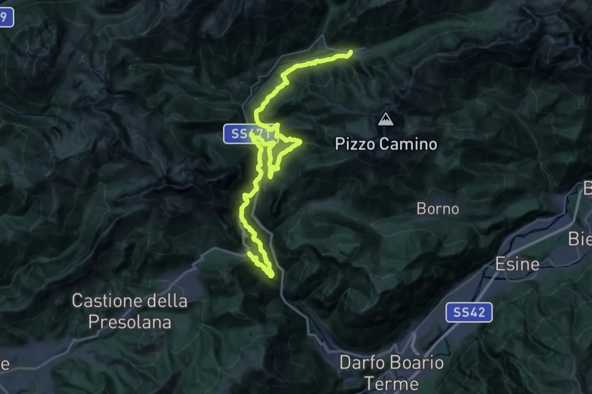
Demanding · Trail
CamminaForeste - Tappa 4C
23.9 km · ↑ 1569 m · 9 h 18 min · 14 km away
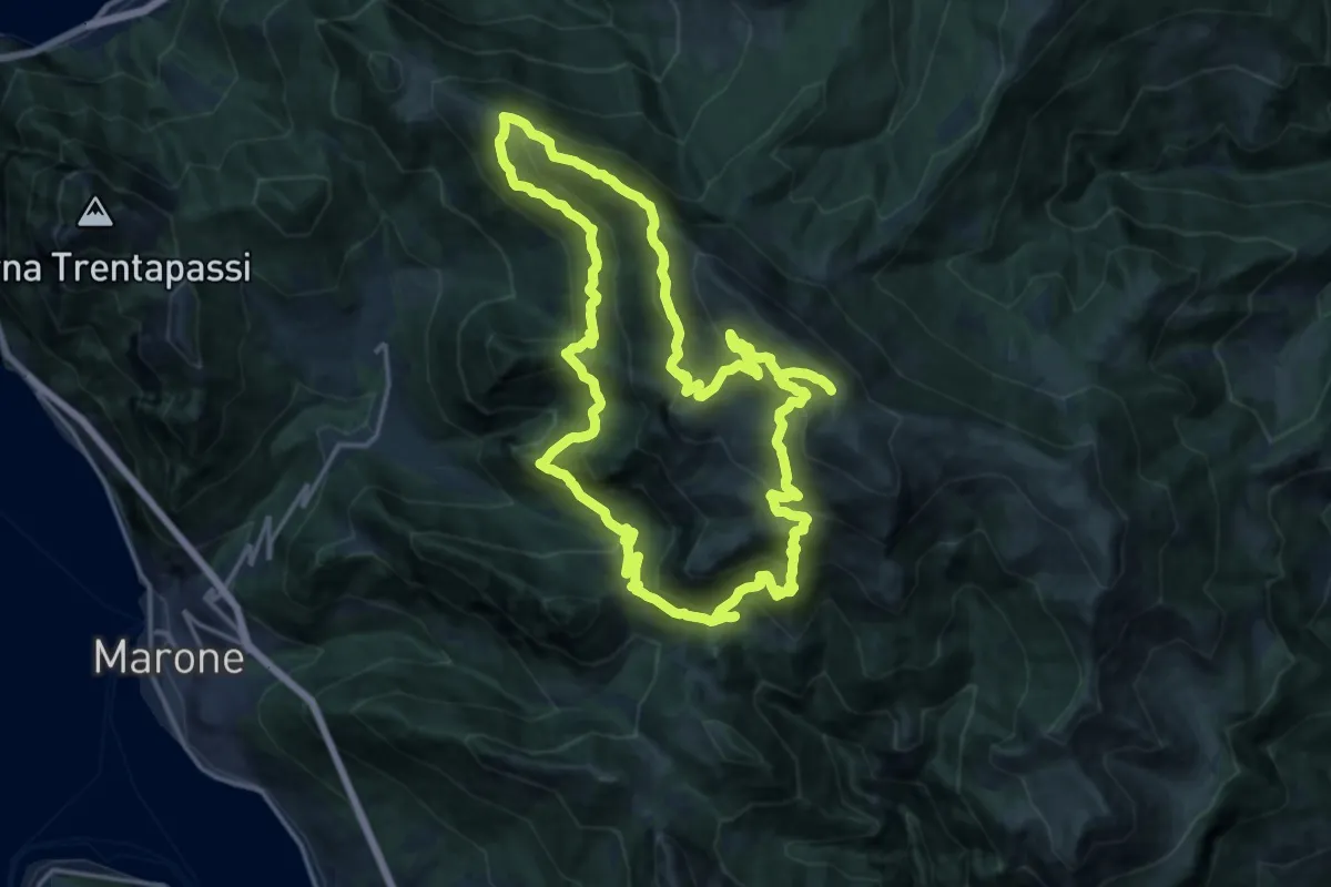
Demanding · Summit
Malghe in Rete - Anello 2 - Monte Guglielmo
18.2 km · ↑ 1257 m · 7 h 16 min · 14 km away
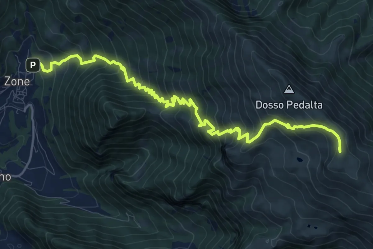
Demanding · Summit
Sentiero del Monte Guglielmo
13.9 km · ↑ 1311 m · 6 h 8 min · 14 km away
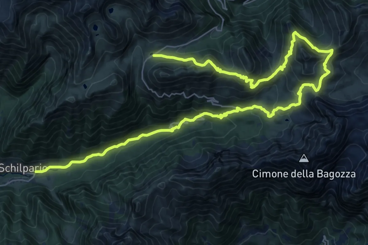
Demanding · Trail
CamminaForeste - Tappa 4D
17.9 km · ↑ 1260 m · 6 h 51 min · 14 km away
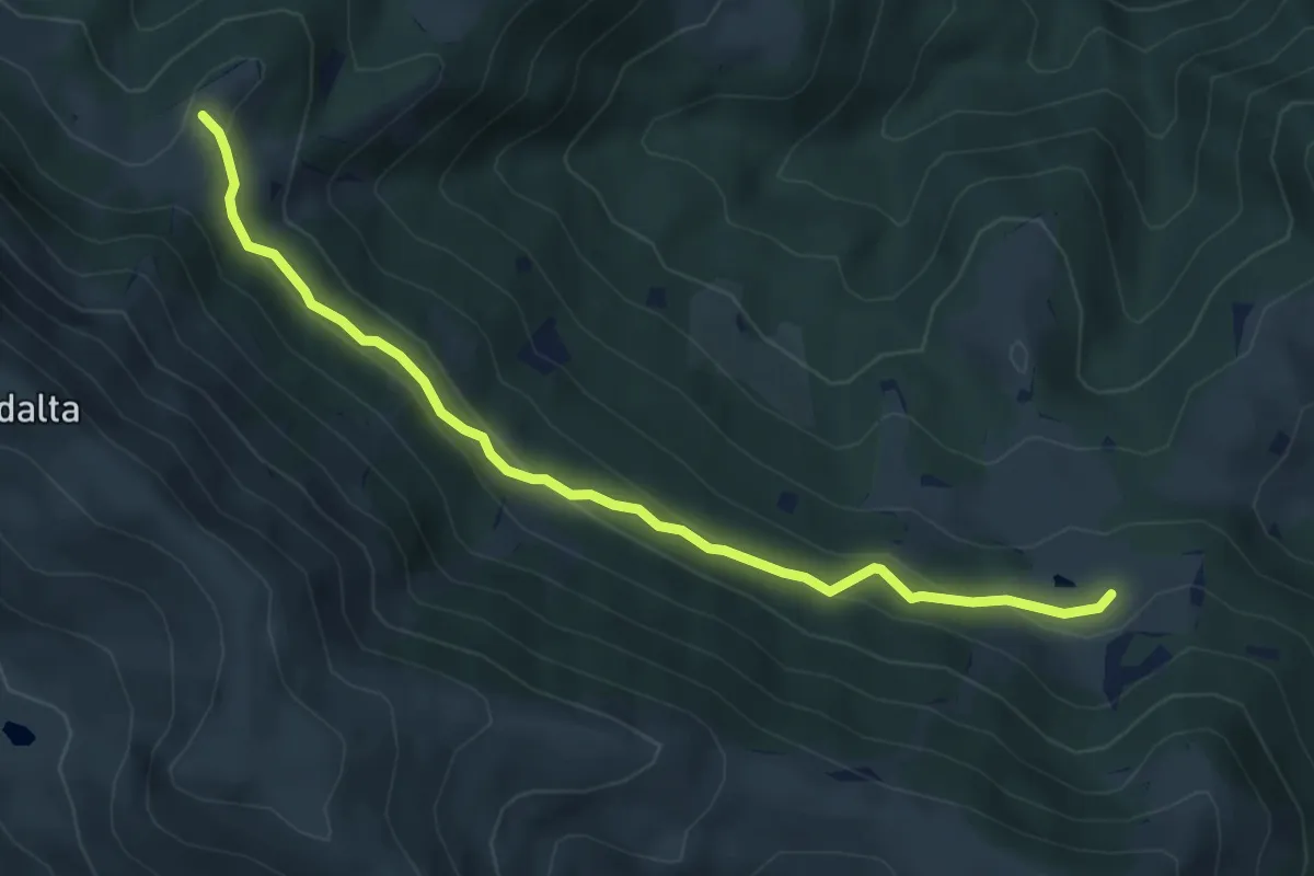
Easy · Trail
Tavernole Sul Mella (Malga Pontogna - Bivio Sentiero 325) – Malga Gale (Bivio Sentiero 393 3V)
5.4 km · ↑ 222 m · 1 h 46 min · 14 km away
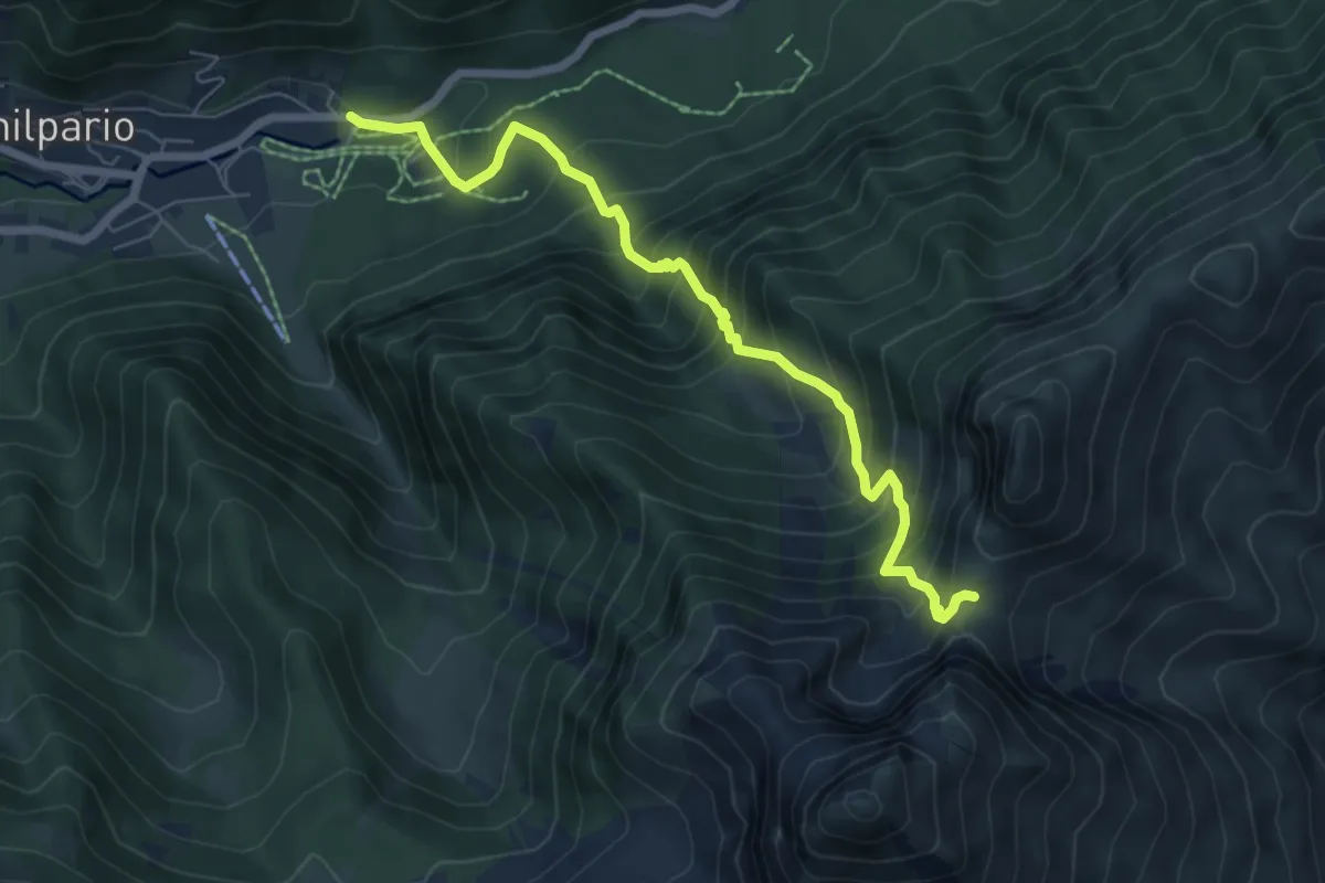
Demanding · Trail
Schilpario (Paghere) – Passo di Ezendola
6.8 km · ↑ 844 m · 3 h 26 min · 14 km away
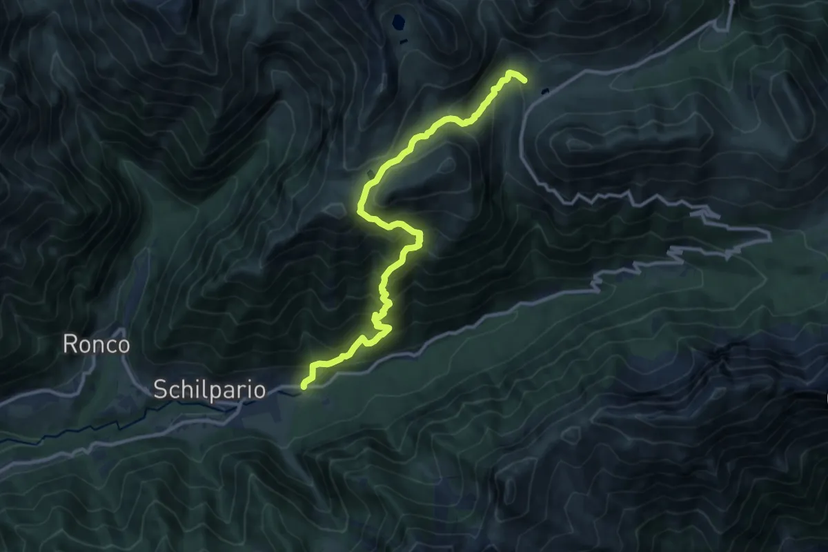
Demanding · Trail
Schilpario (Chiesa di Santa Elisabetta) – Passo del Vivione
11.9 km · ↑ 1116 m · 5 h 13 min · 14 km away
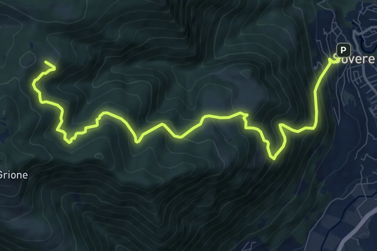
Demanding · Cabin
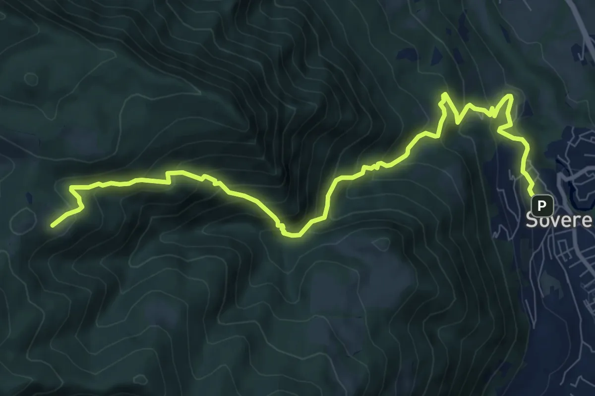
Sovere – Malga Lunga
12.4 km · ↑ 1024 m · 5 h 8 min · 14 km away
Demanding · Cabin
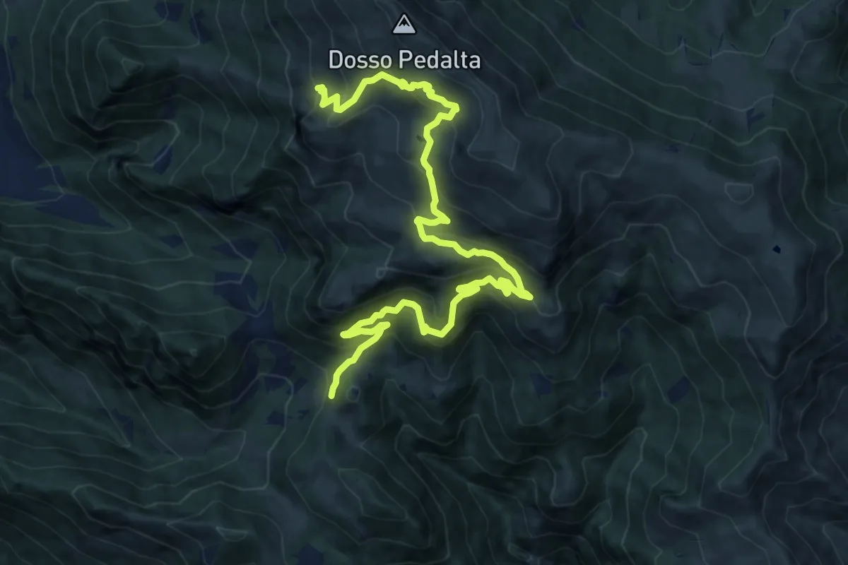
Sovere – Malga Lunga
5.4 km · ↑ 895 m · 2 h 51 min · 14 km away
Medium · Summit
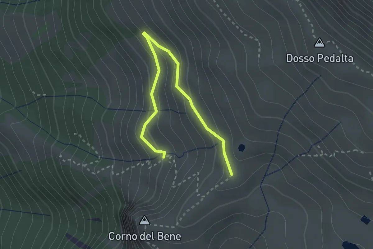
Sentiero naturalistico del Sebino
8.0 km · ↑ 356 m · 3 h 1 min · 14 km away
Easy · Cabin
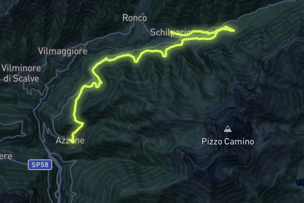
Sentiero del Monte Guglielmo
2.8 km · ↑ 189 m · 1 h 4 min · 14 km away
Medium · Trail
La Via Decia - Tappa 4
11.5 km · ↑ 576 m · 4 h 12 min · 14 km away
Easy · Trail
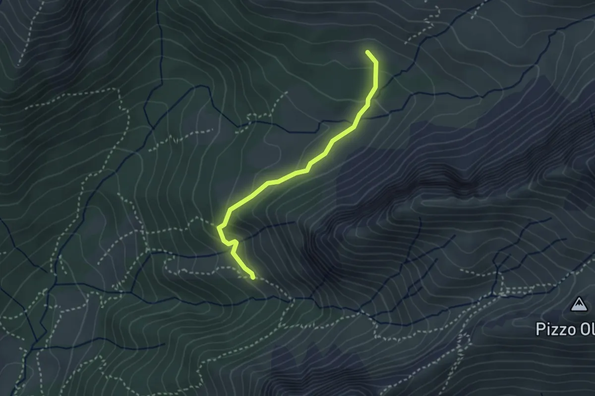
Baita Bruseda (incrocio 320) – Baita Bassa di Pagherola (incrocio 311)
2.9 km · ↑ 157 m · 1 h 2 min · 14 km away
Easy · Trail
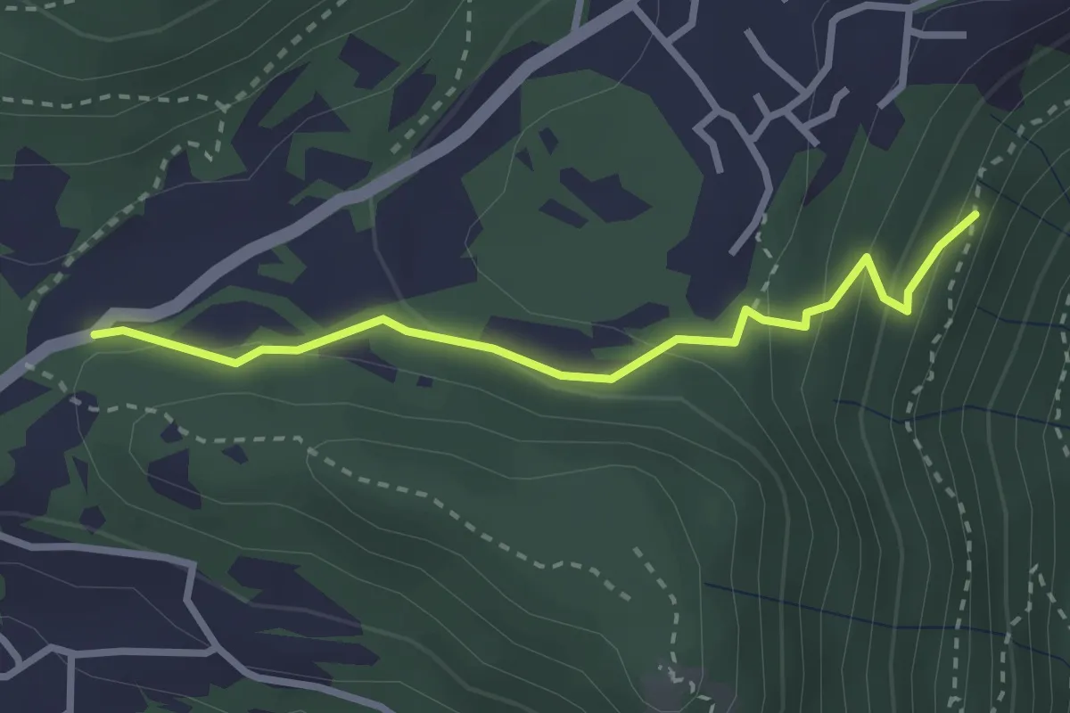
Chiesetta di S.Rocco – Incrocio 565
2.7 km · ↑ 158 m · 59 min · 14 km away
Demanding · Summit
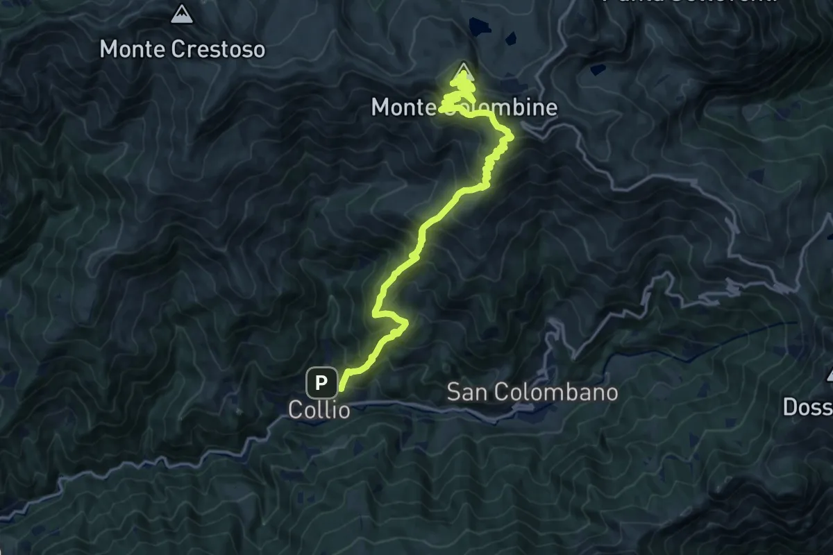
Collio (Ponte Tizio) – Monte Colombine
17.6 km · ↑ 1490 m · 7 h 23 min · 14 km away
Medium · Trail
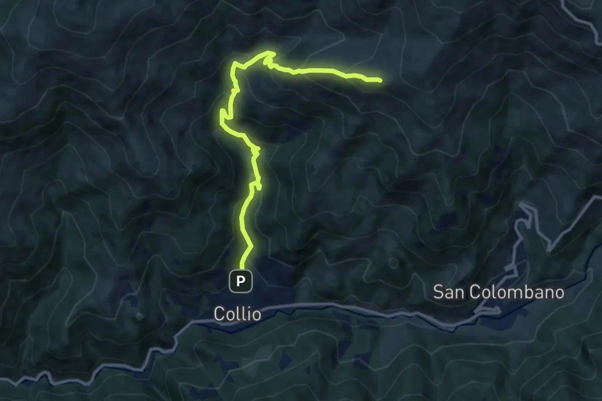
Collio (Ponte Tizio) – Pes de Cugni (Innesto Sentiero 355)
9.9 km · ↑ 788 m · 4 h 2 min · 14 km away
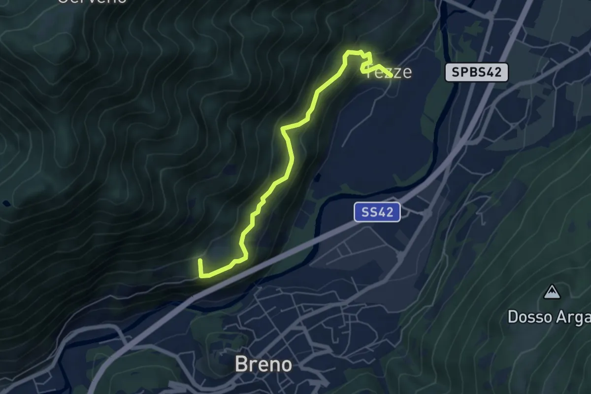
Medium · Summit
Breno – Tezze
5.5 km · ↑ 383 m · 2 h 8 min · 14 km away
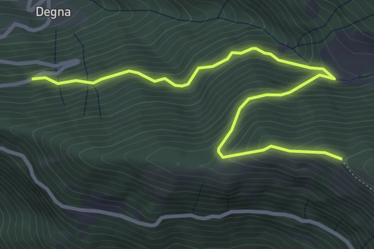
Medium · Trail
Innesto Strada Provinciale 345 – Innesto sentiero n. 679 (Biorche)
6.7 km · ↑ 537 m · 2 h 45 min · 14 km away
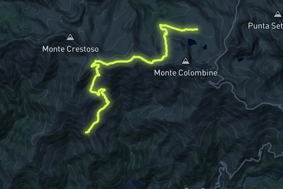
Demanding · Summit
Collio (Memmo) – Pian delle Baste
17.8 km · ↑ 1065 m · 6 h 31 min · 14 km away
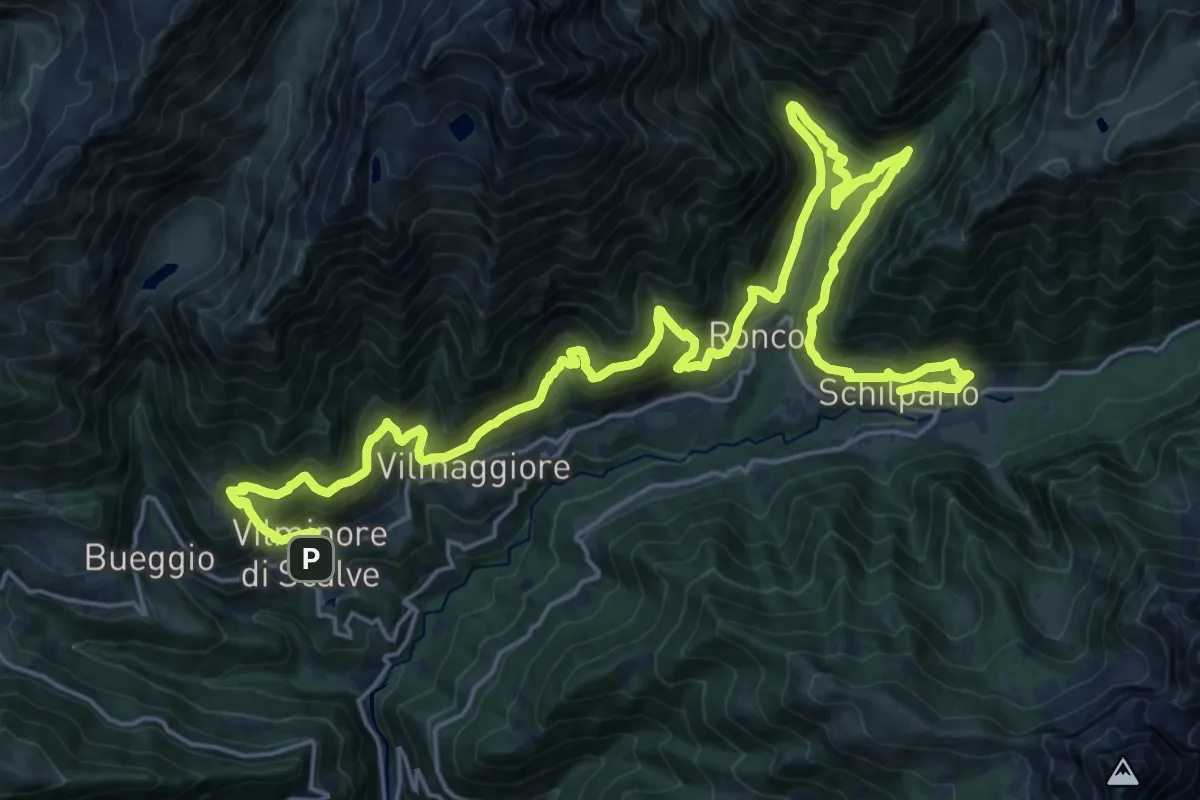
Demanding · Trail
La Via Decia - Tappa 3
16.3 km · ↑ 1146 m · 6 h 31 min · 14 km away
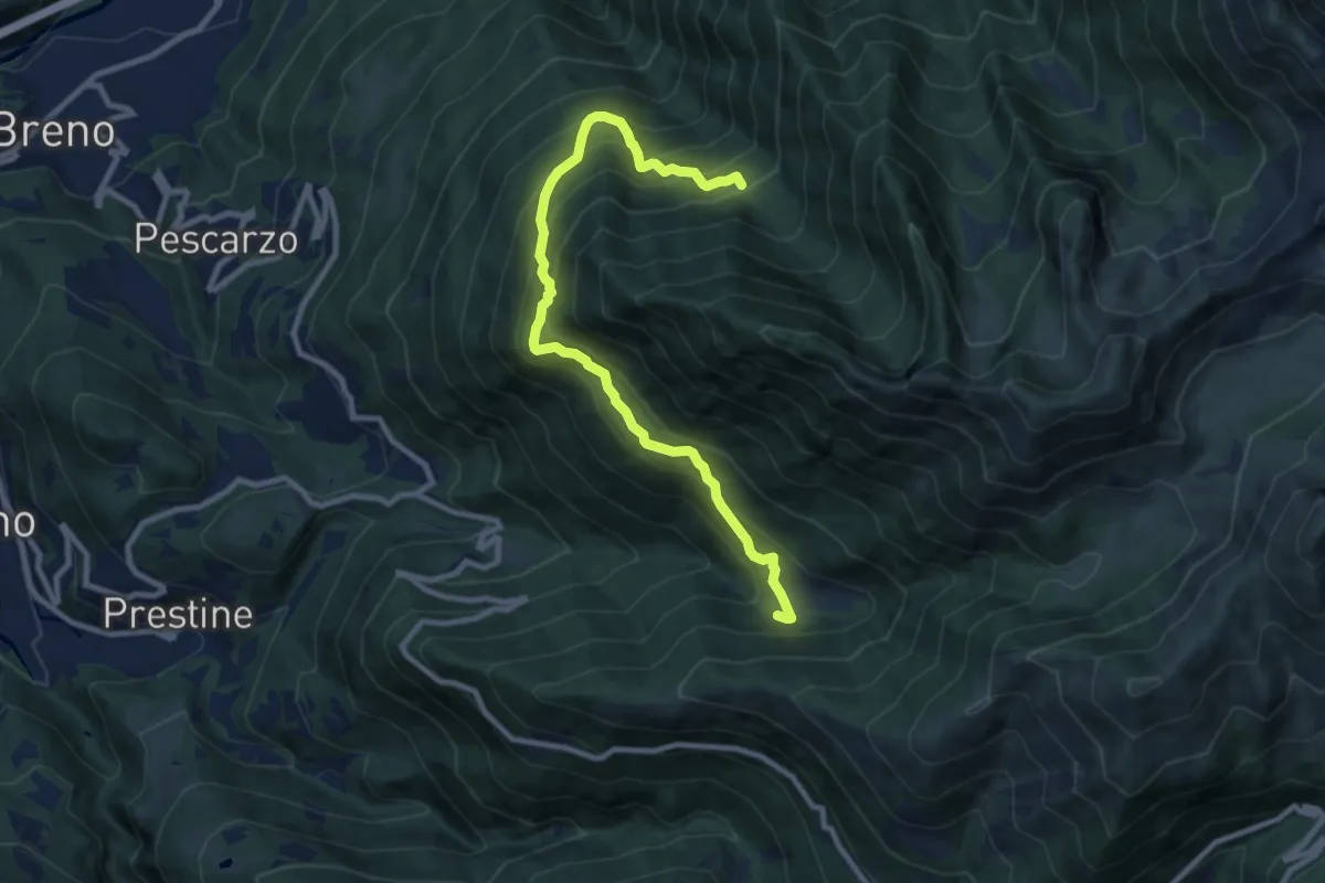
Demanding · Trail
Pian d'Astrio – Malga Sambuco
10.0 km · ↑ 955 m · 4 h 26 min · 14 km away
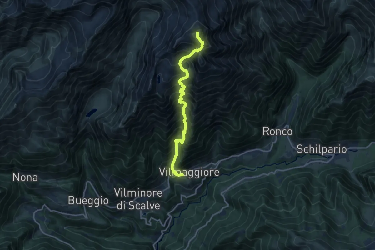
Demanding · Summit
Vilmaggiore – Pizzo Tornello
11.2 km · ↑ 1566 m · 6 h 2 min · 14 km away
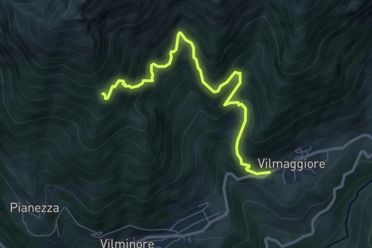
Demanding · Cabin
Vilmaggiore – Baita Napoleù
6.6 km · ↑ 848 m · 3 h 24 min · 14 km away
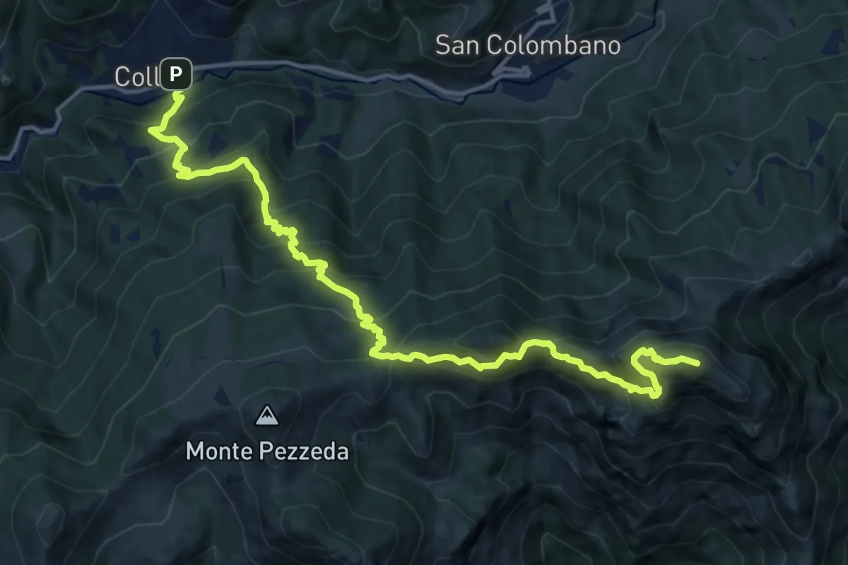
Expert · Summit
Collio (Trampolino) – Cima Corna Blacca
14.8 km · ↑ 1522 m · 6 h 47 min · 15 km away
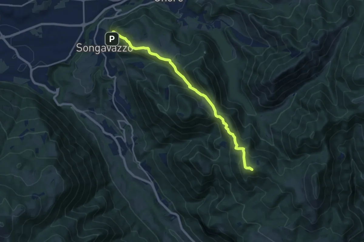
Medium · Summit
Songavazzo – Bossico (San Fermo)
11.2 km · ↑ 639 m · 4 h 2 min · 15 km away
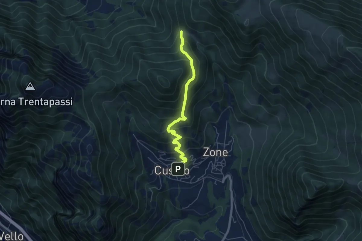
Medium · Trail
Sentiero delle Terre Rosse
5.0 km · ↑ 427 m · 2 h 6 min · 15 km away
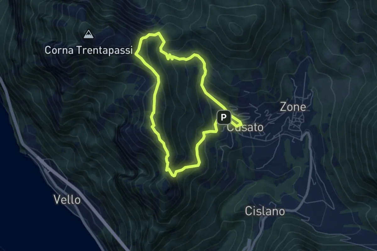
Expert · Summit
Sentiero di Monte Vignole
5.3 km · ↑ 415 m · 2 h 13 min · 15 km away
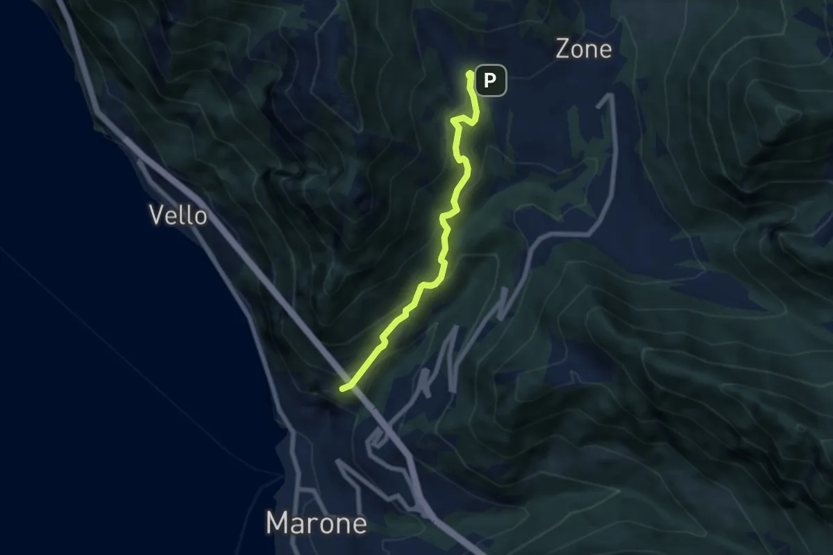
Medium · Trail
Monte Marone – Cusato
5.7 km · ↑ 428 m · 2 h 16 min · 15 km away
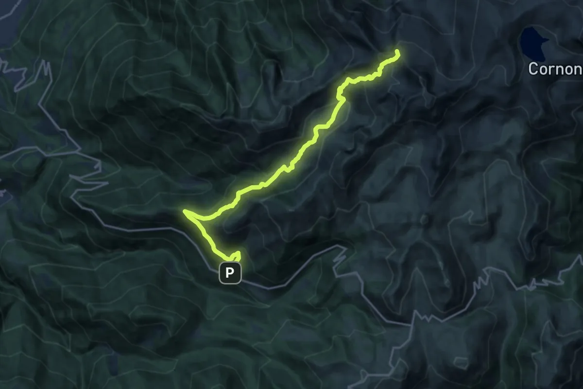
Expert · Summit
Dalmone – Intersezione sentiero n. 638
16.8 km · ↑ 1215 m · 6 h 36 min · 15 km away
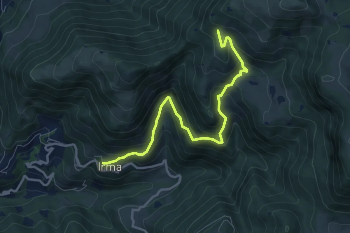
Medium · Trail
Irma (Cimitero) – Monte Ario - (Malga Confine - Innesto Sentiero 345)
7.7 km · ↑ 546 m · 3 h 1 min · 15 km away
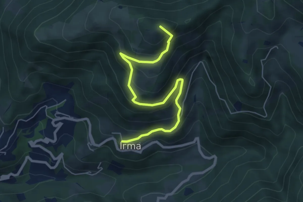
Medium · Summit
Irma (Cimitero) – Monte Ario (Passo del Cavalletto - Innesto Sentiero 345)
5.7 km · ↑ 483 m · 2 h 23 min · 15 km away
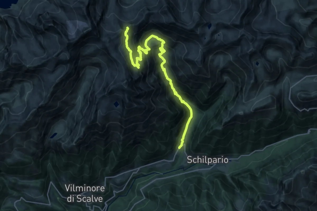
Demanding · Cabin
Schilpario (Ronco) – Rifugio Tagliaferri
11.0 km · ↑ 1372 m · 5 h 6 min · 15 km away