Trails near Dueville
43 hikes starting within 15 km, nearest first.
Nearest first
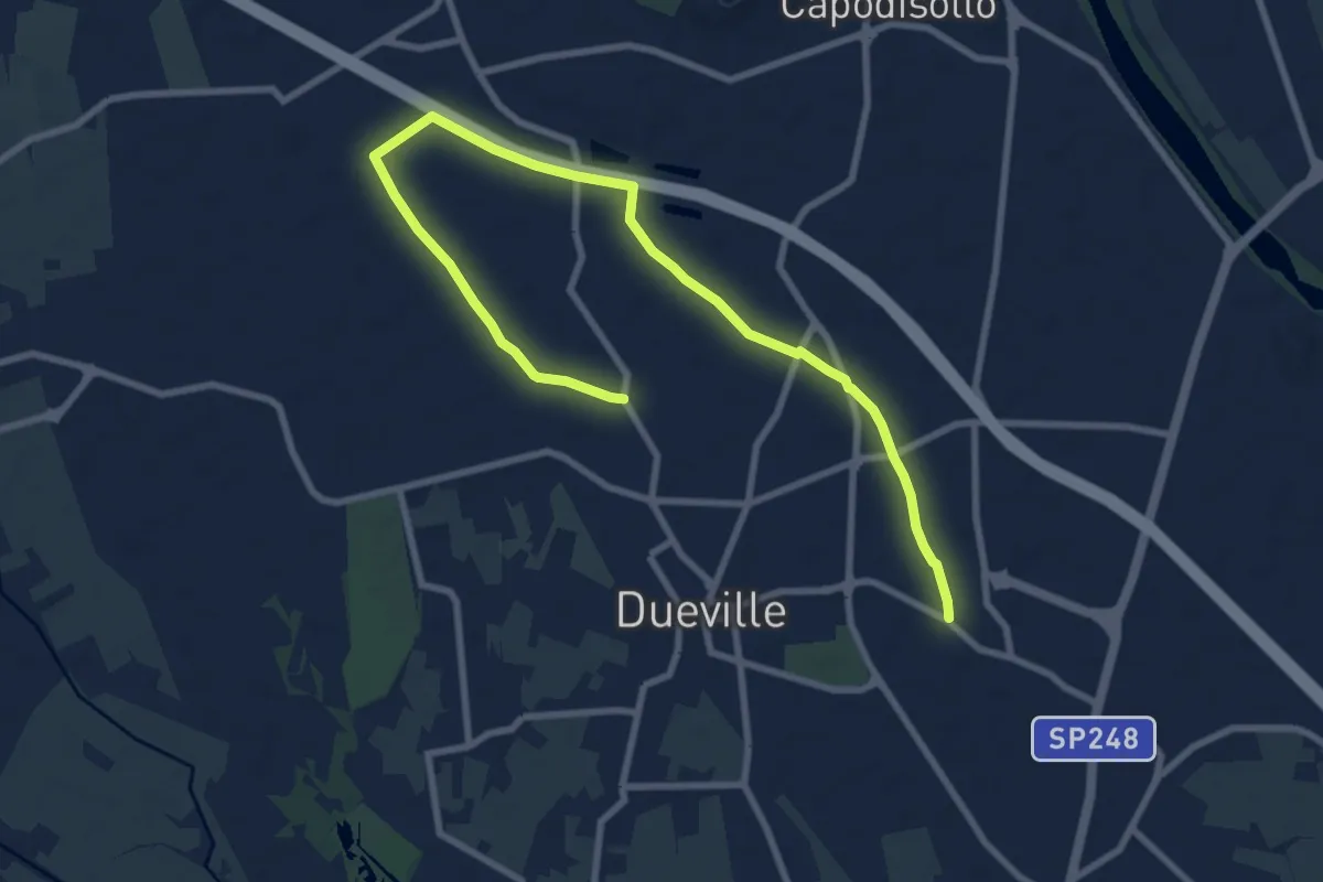
Medium · Trail
Percorso Fucsia
10.9 km · ↑ 17 m · 2 h 36 min · 1 km away
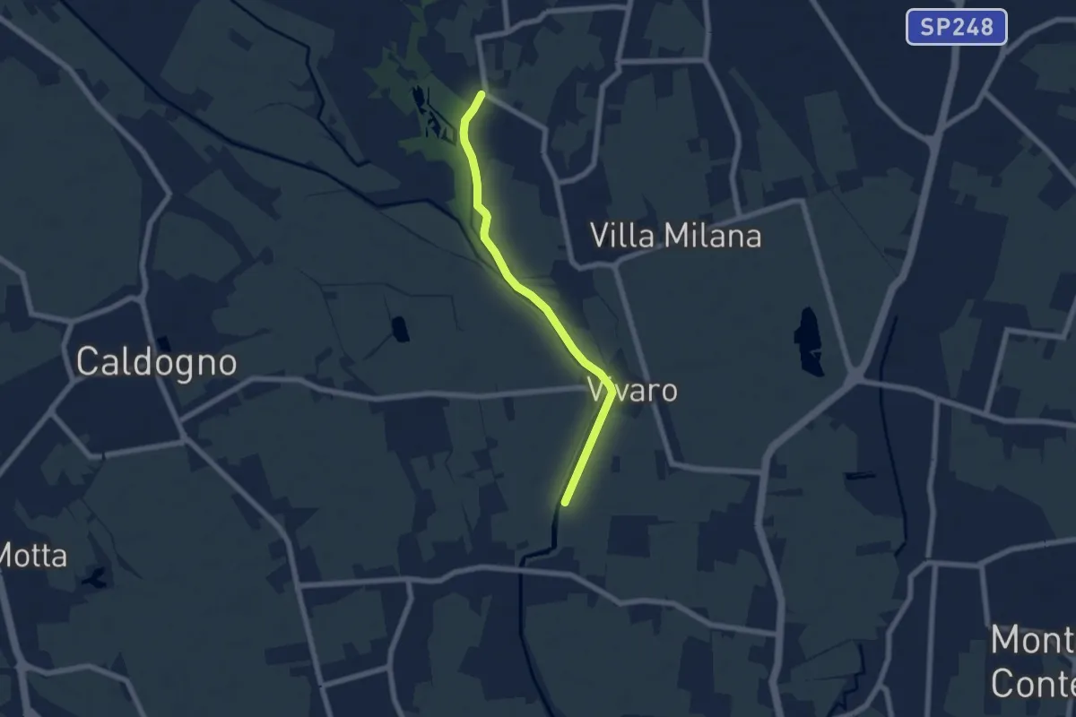
Easy · Trail
Percorso Bluette
5.9 km · ↑ 9 m · 1 h 25 min · 2 km away
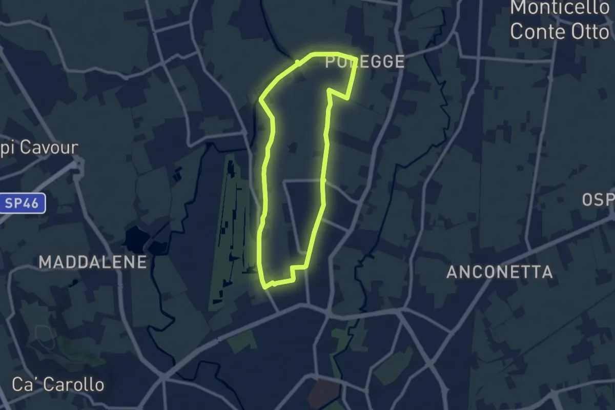
Easy · Trail
Anello Nord Laghetto
7.0 km · ↑ 0 m · 1 h 45 min · 6 km away
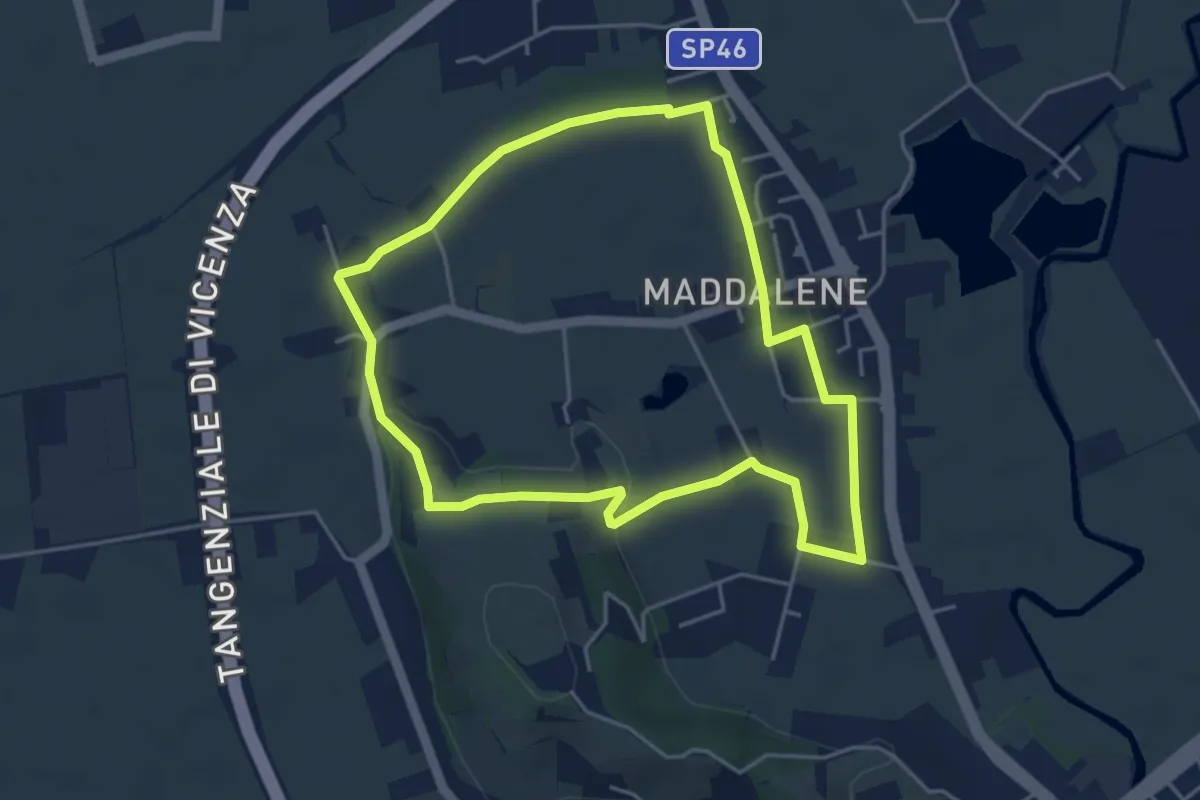
Easy · Trail
Anello Monte Crocetta
4.4 km · ↑ 34 m · 1 h 11 min · 8 km away
Easy · Trail
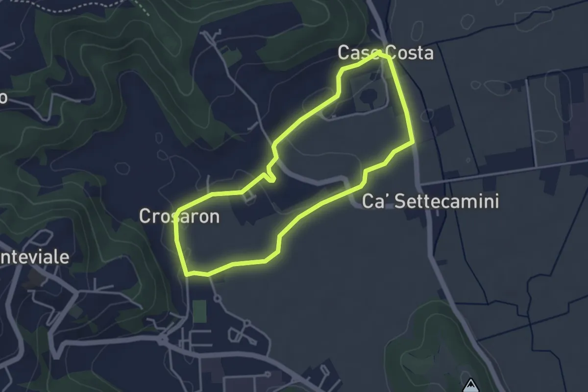
Sentiero Zuccheriei - delle Are
3.3 km · ↑ 20 m · 52 min · 9 km away
Demanding · Trail
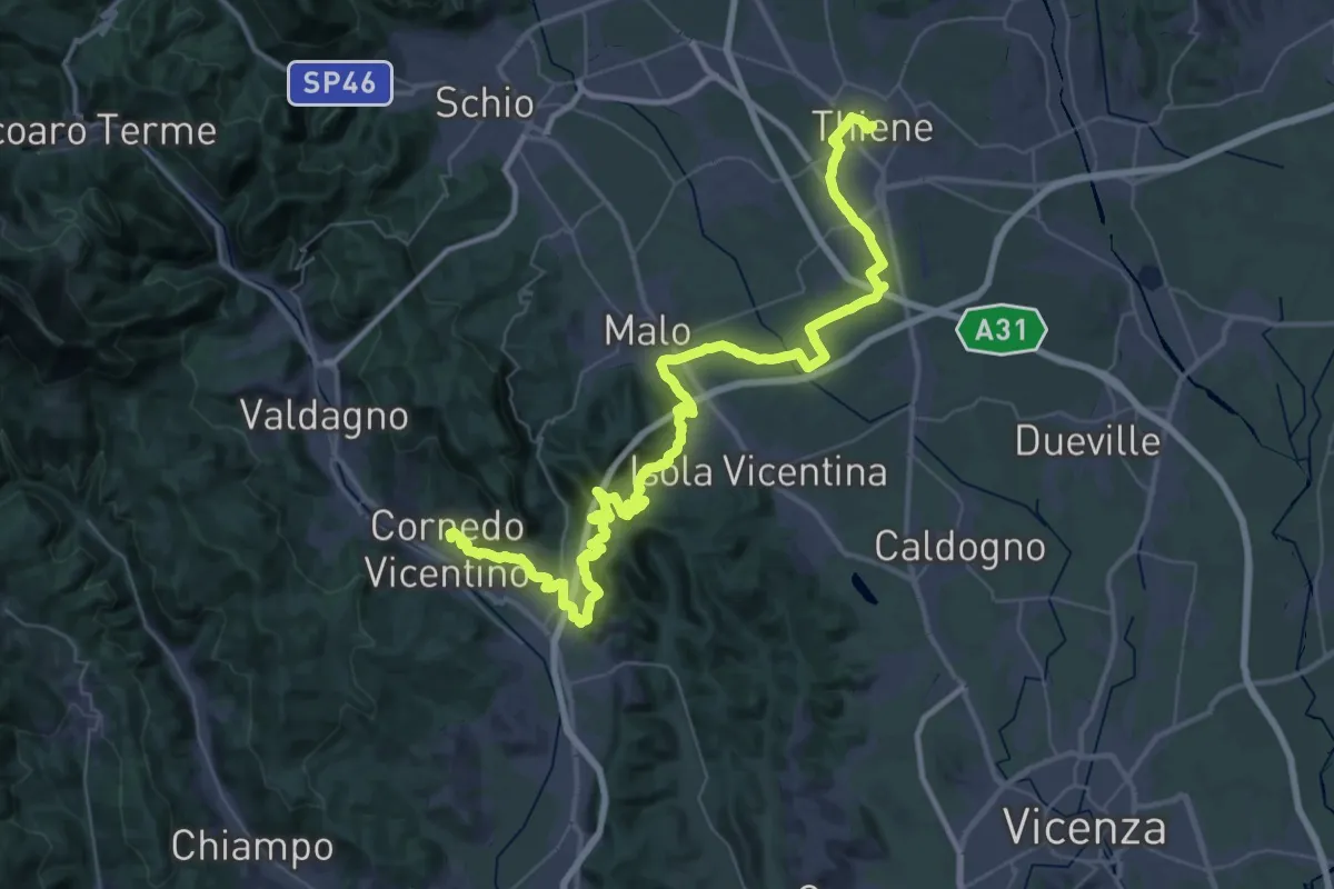
Cammino del Beato Claudio 06
31.8 km · ↑ 702 m · 9 h 26 min · 9 km away
Demanding · Trail
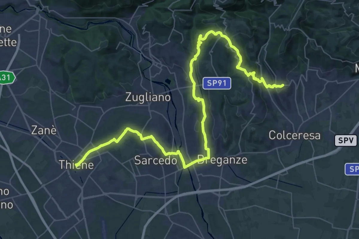
Cammino del Beato Claudio 05
21.6 km · ↑ 492 m · 6 h 25 min · 9 km away
Medium · Trail
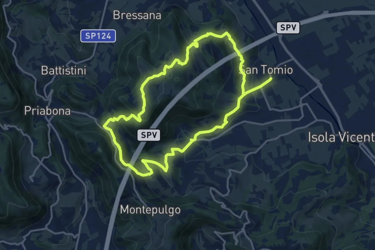
Giro panoramico del Monte Pian
10.4 km · ↑ 452 m · 3 h 34 min · 10 km away
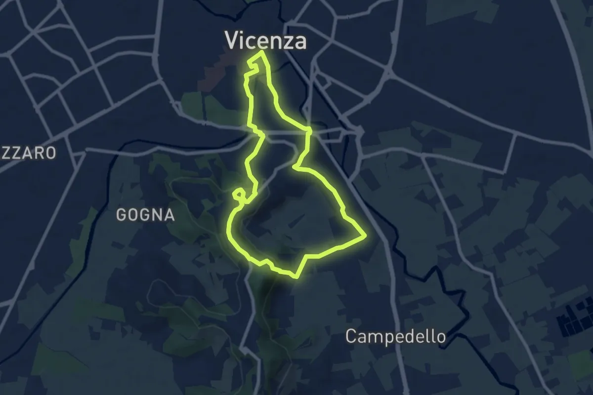
Easy · Trail
Anello Trekking urbano
6.4 km · ↑ 198 m · 2 h 2 min · 10 km away
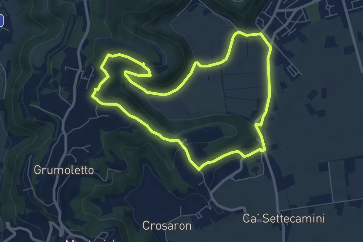
Easy · Trail
Sentiero del Perozzo
6.2 km · ↑ 160 m · 1 h 53 min · 10 km away
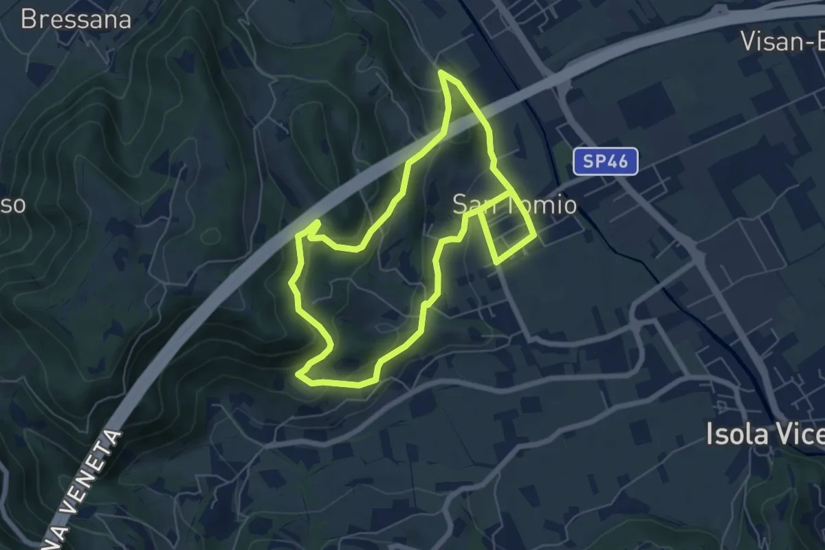
Medium · Trail
Sentiero degli Asini
11.8 km · ↑ 411 m · 3 h 41 min · 10 km away
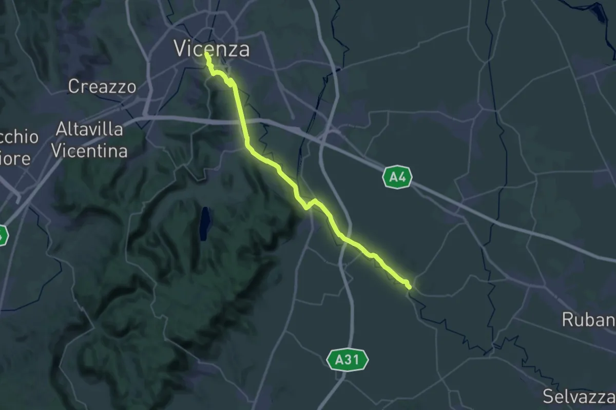
Medium · Trail
Cammino Fogazzaro Roi - Tappa 1
17.6 km · ↑ 72 m · 4 h 35 min · 10 km away
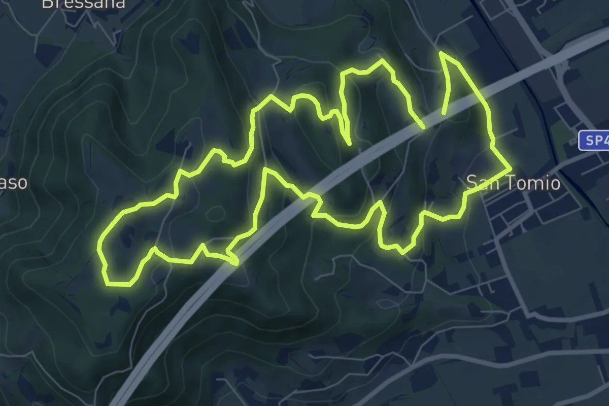
Medium · Trail
Primo sentiero della Memoria (o Dei Capitelli)
8.4 km · ↑ 358 m · 2 h 51 min · 10 km away
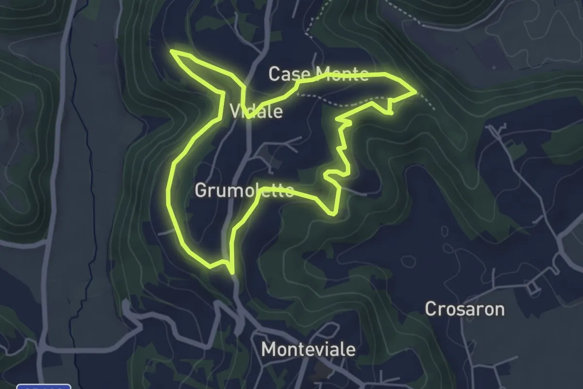
Easy · Trail
Sentiero Vegrolongo - della Sorgente - dell'Ornaro
4.6 km · ↑ 141 m · 1 h 27 min · 10 km away
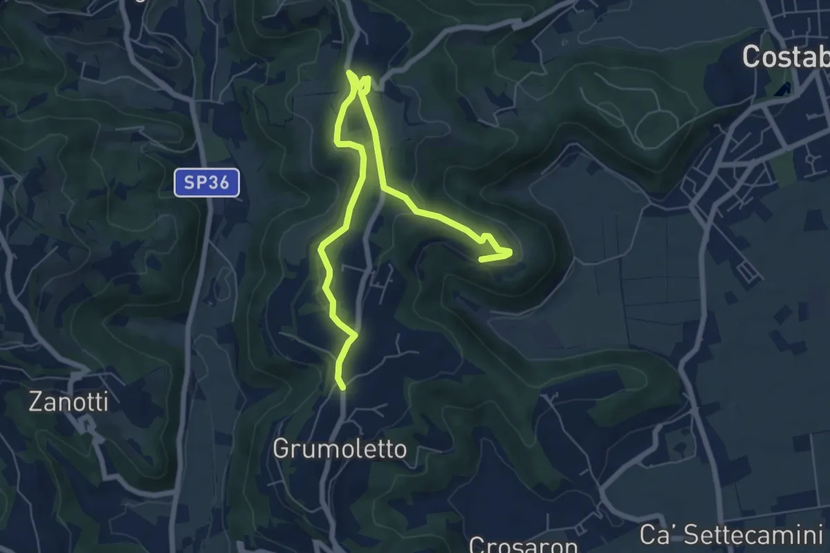
Easy · Trail
Sentiero Strada False
7.5 km · ↑ 173 m · 2 h 9 min · 10 km away
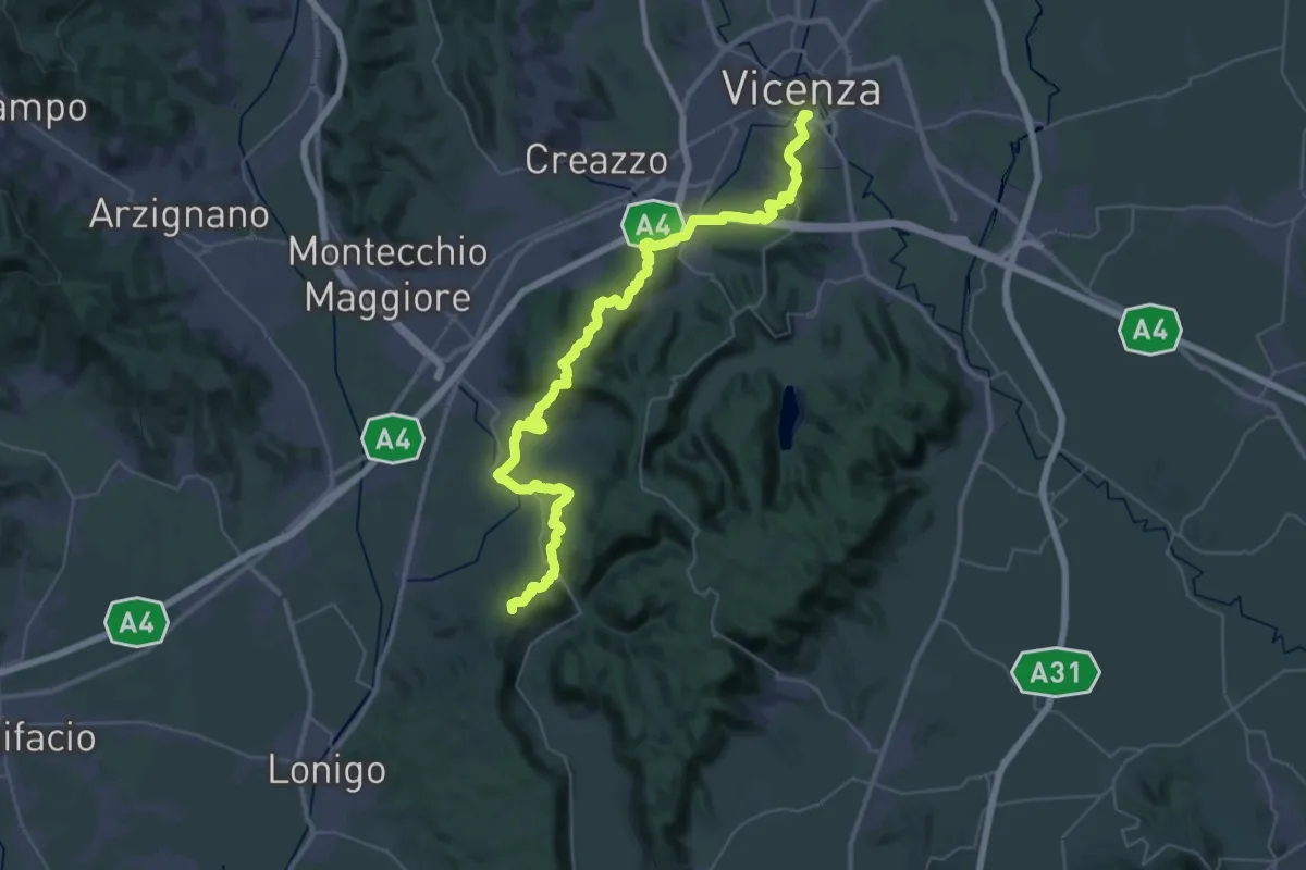
Demanding · Summit
Vicenza – Lonigo
49.2 km · ↑ 1368 m · 14 h 34 min · 10 km away
Easy · Trail
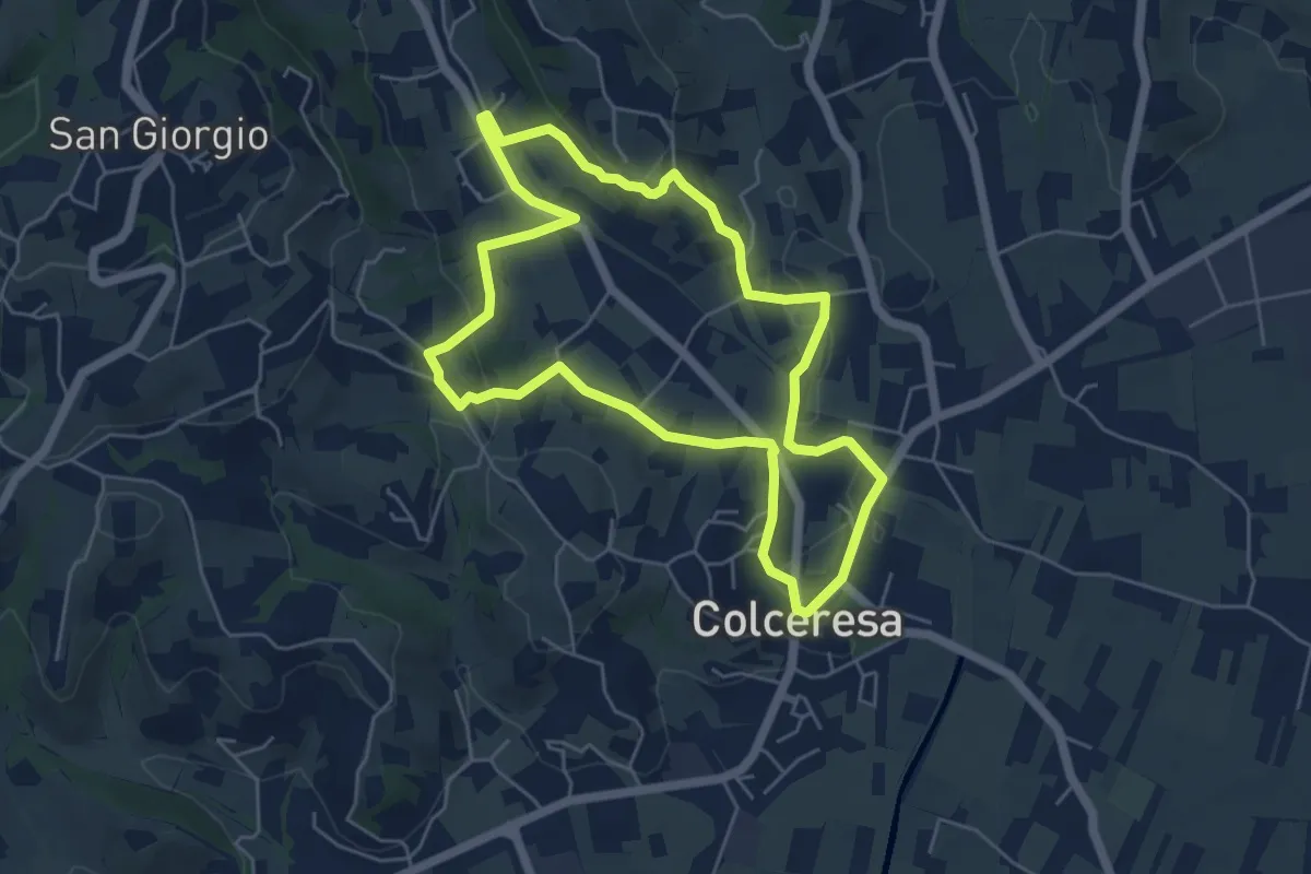
Percorso dello Scoiattolo
5.4 km · ↑ 119 m · 1 h 36 min · 10 km away
Medium · Trail
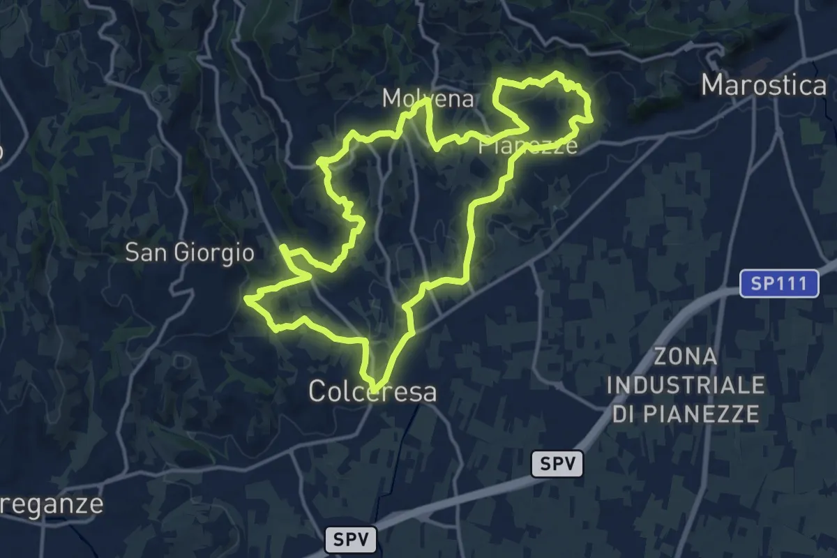
Colceresa
14.7 km · ↑ 468 m · 4 h 42 min · 10 km away
Medium · Trail
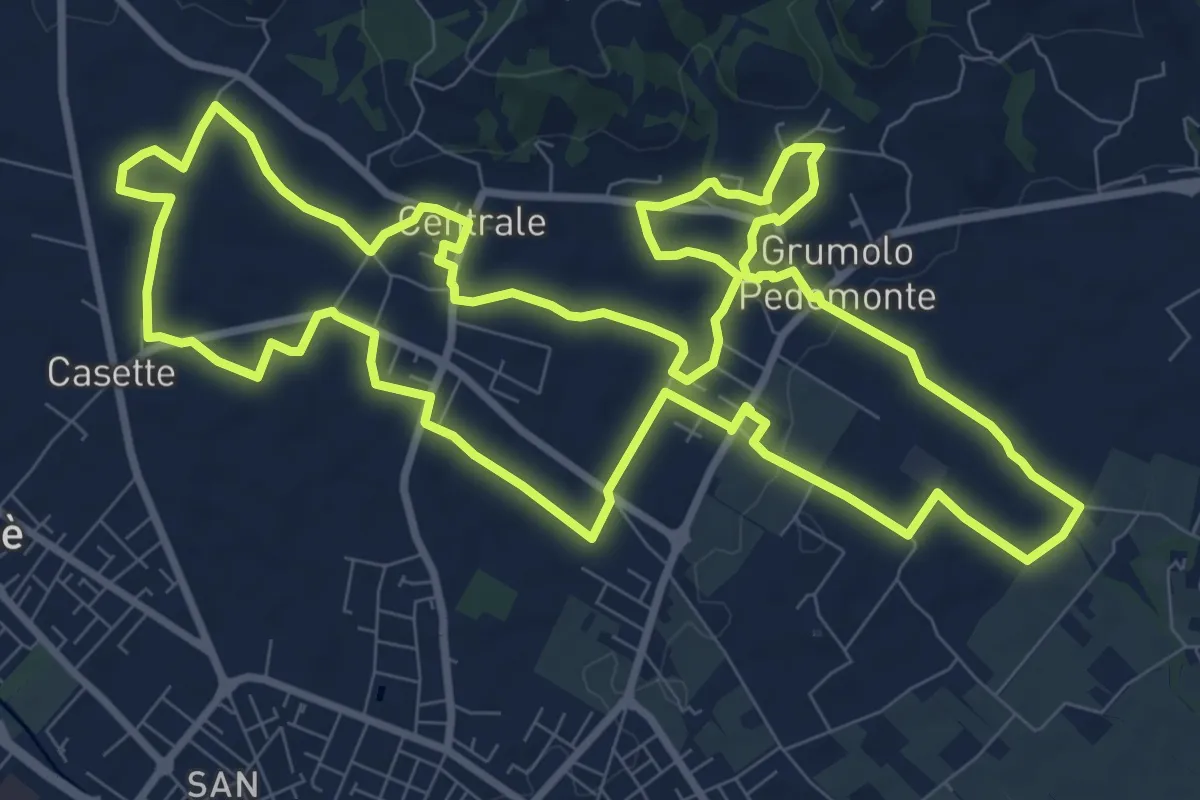
Anello Blu Zugliano
11.6 km · ↑ 95 m · 3 h 7 min · 11 km away
Easy · Trail
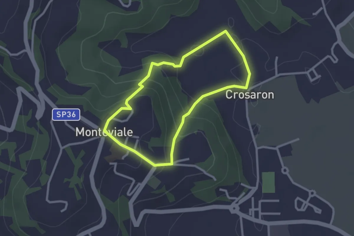
Sentiero del Cornugio
2.2 km · ↑ 113 m · 47 min · 11 km away
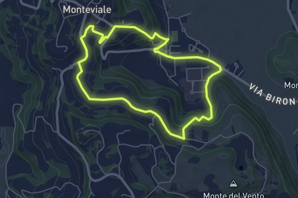
Easy · Trail
Sentiero Canestrello
4.5 km · ↑ 143 m · 1 h 26 min · 11 km away
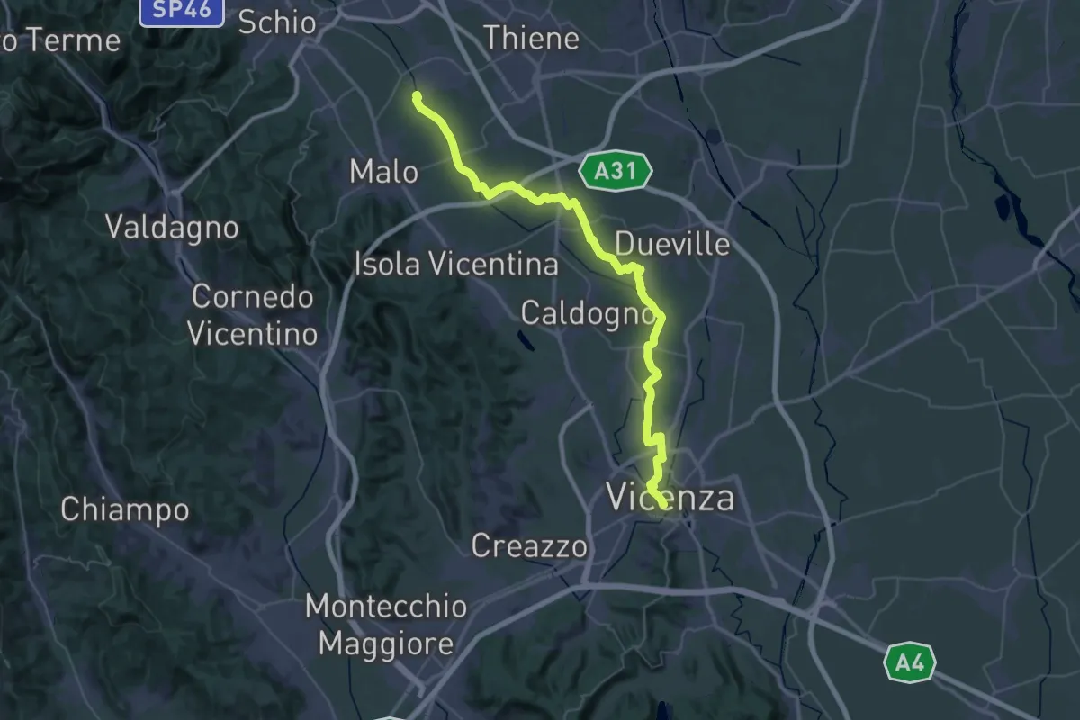
Demanding · Trail
Cammino Fogazzaro Roi - Tappa 2
25.1 km · ↑ 17 m · 6 h 21 min · 11 km away
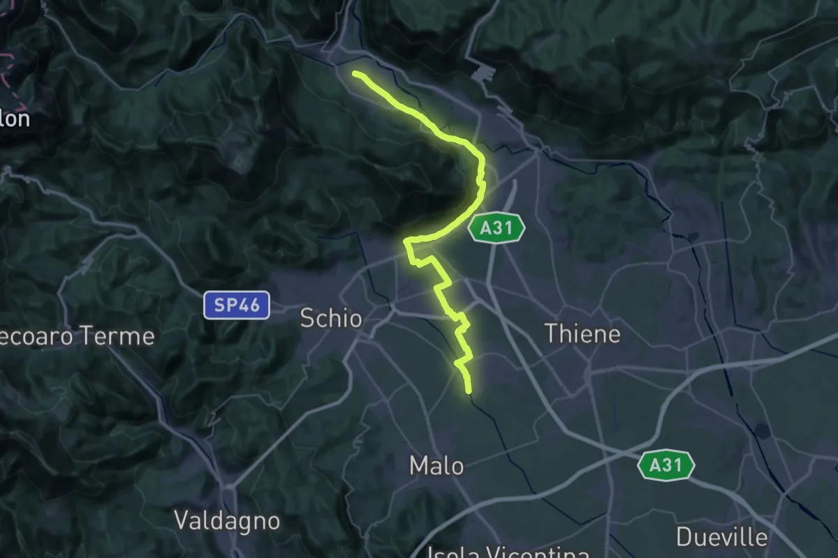
Demanding · Trail
Cammino Fogazzaro Roi - Tappa 3
20.3 km · ↑ 284 m · 5 h 37 min · 11 km away
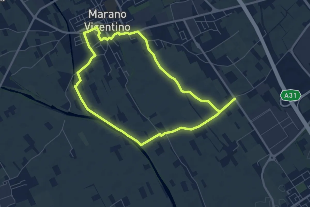
Easy · Trail
Agritour dea Molonara (percorso verde)
6.4 km · ↑ 17 m · 1 h 39 min · 11 km away
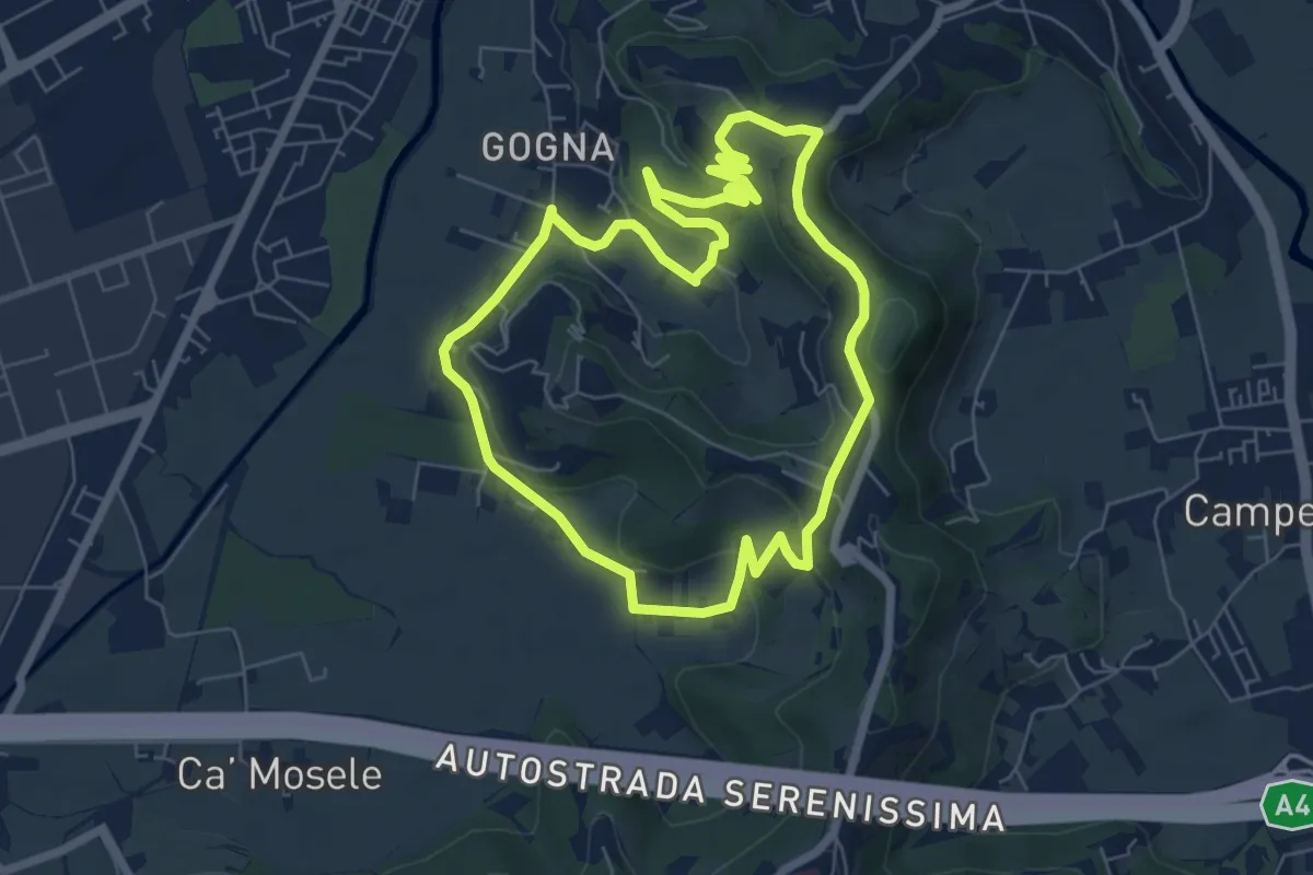
Easy · Trail
Anello Monte Berico
6.6 km · ↑ 136 m · 1 h 56 min · 12 km away
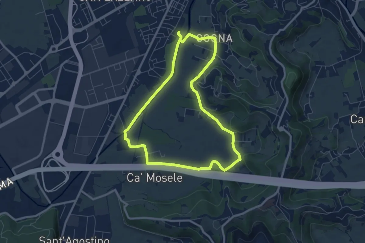
Easy · Trail
Anello Parco Retrone
6.6 km · ↑ 35 m · 1 h 43 min · 12 km away
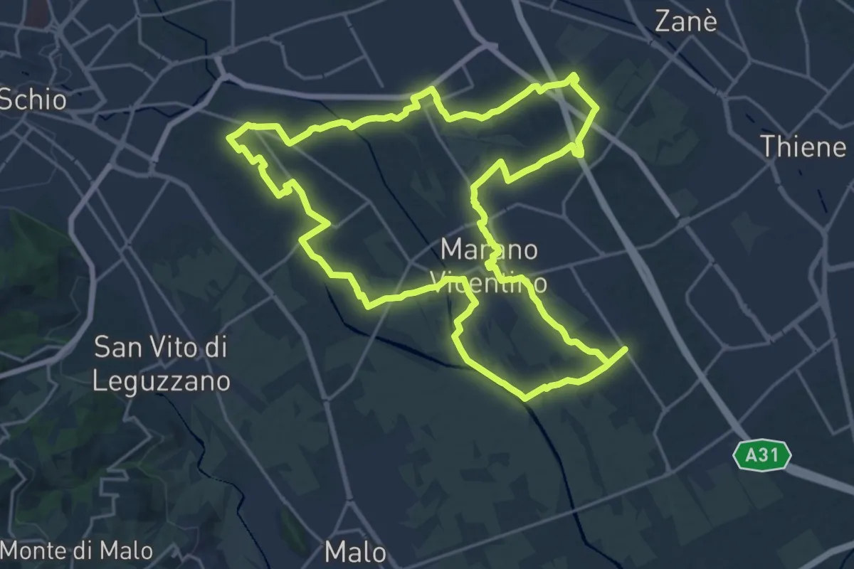
Demanding · Trail
Agritour dea Molonara (percorso rosso)
20.9 km · ↑ 67 m · 5 h 22 min · 12 km away
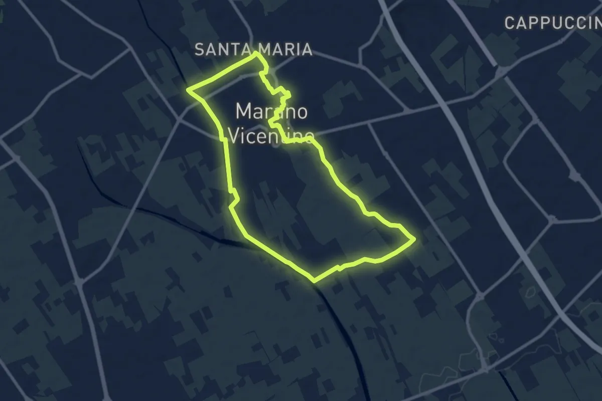
Medium · Trail
La Via del Pane - percorso sud
8.1 km · ↑ 25 m · 2 h 5 min · 12 km away
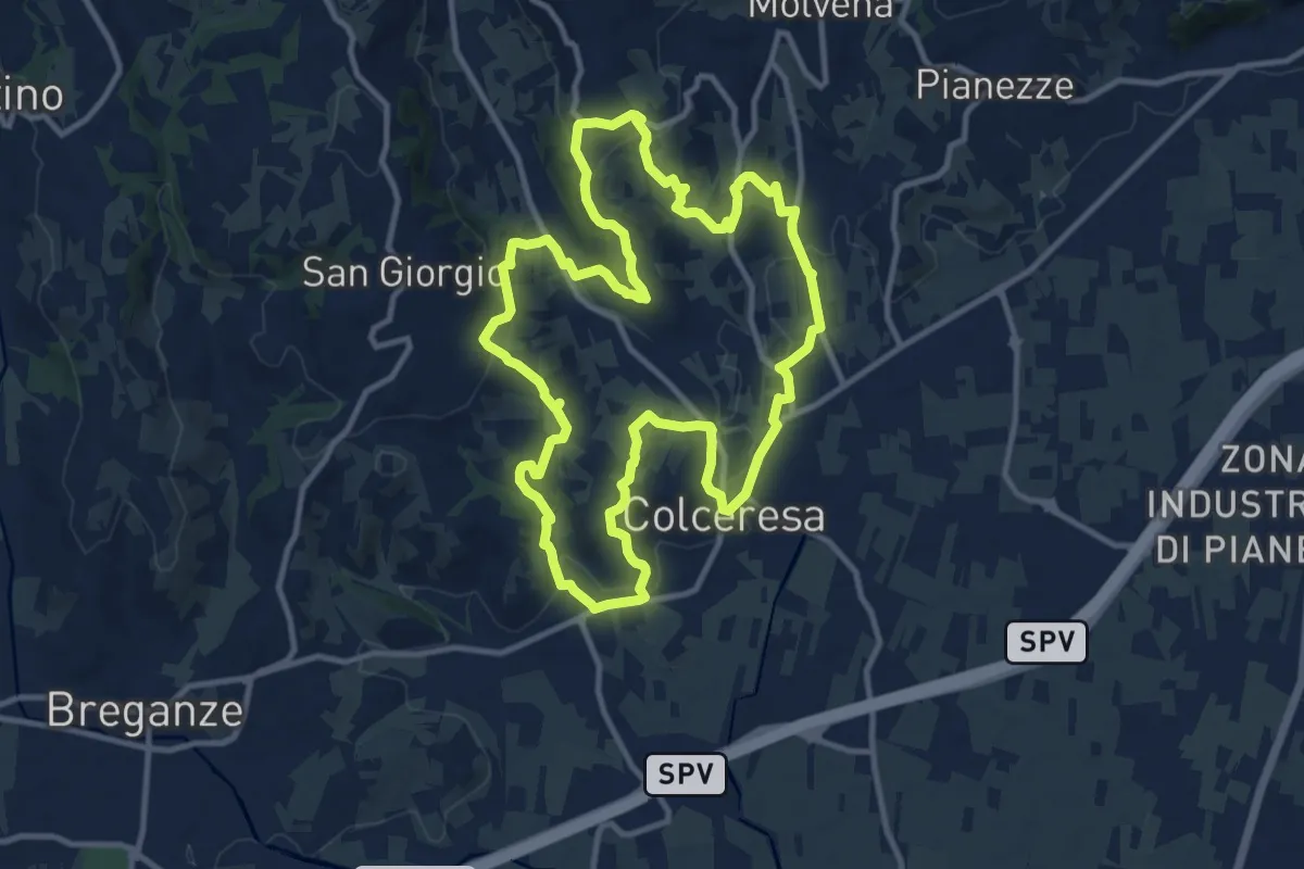
Medium · Trail
Percorso della Lepre
11.9 km · ↑ 354 m · 3 h 45 min · 12 km away
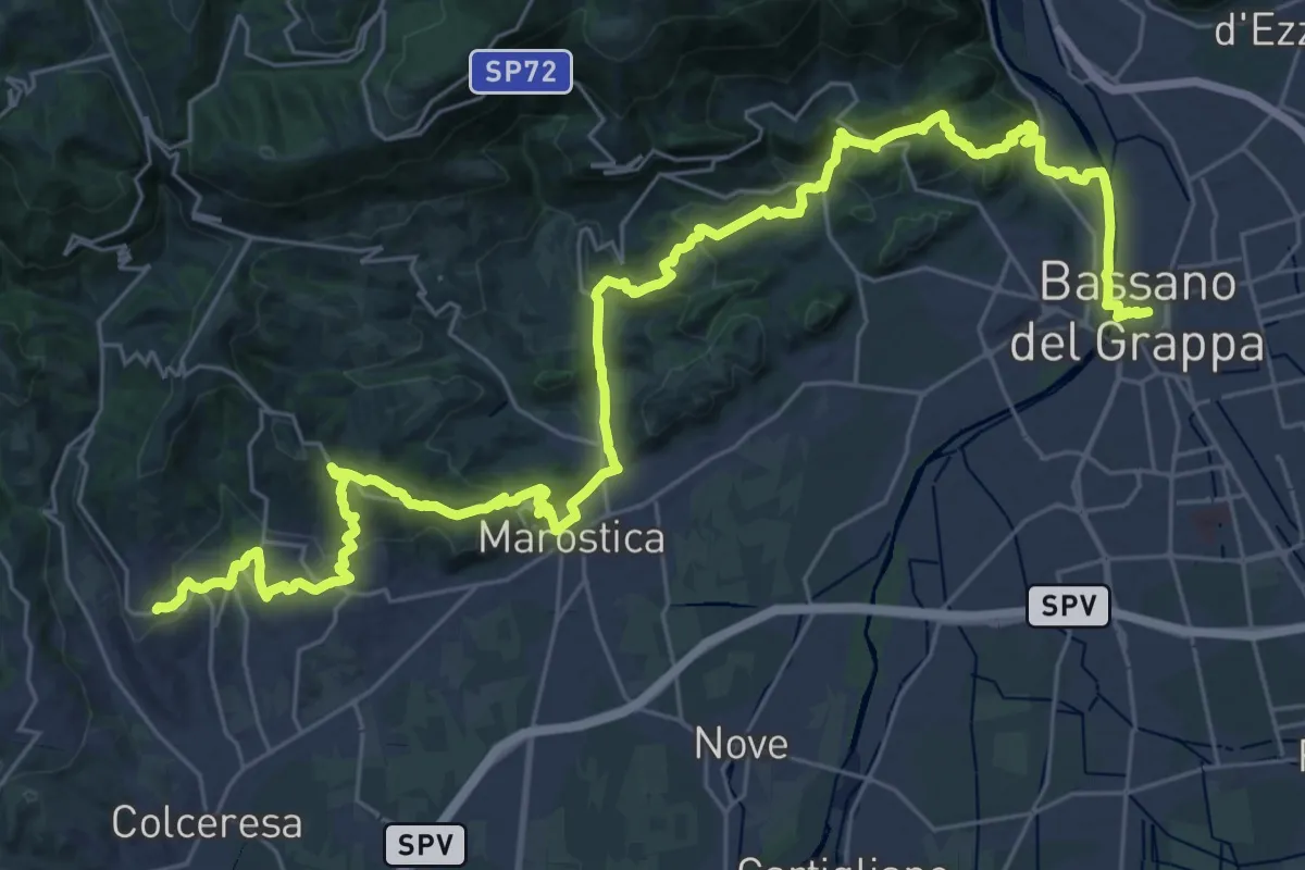
Demanding · Trail
Cammino del Beato Claudio 04
21.6 km · ↑ 683 m · 6 h 56 min · 12 km away
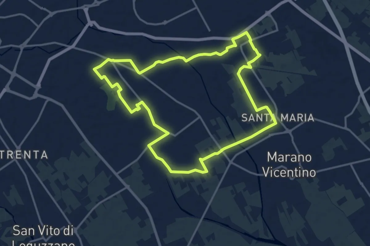
Medium · Trail
Agritour dea Molonara (percorso azzurro)
10.8 km · ↑ 35 m · 2 h 46 min · 12 km away
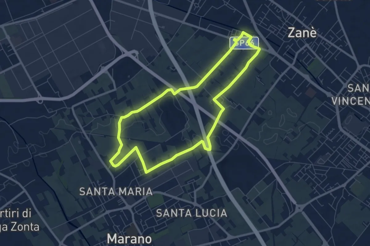
Easy · Trail
Agritour dea Molonara (percorso giallo)
7.3 km · ↑ 25 m · 1 h 52 min · 12 km away
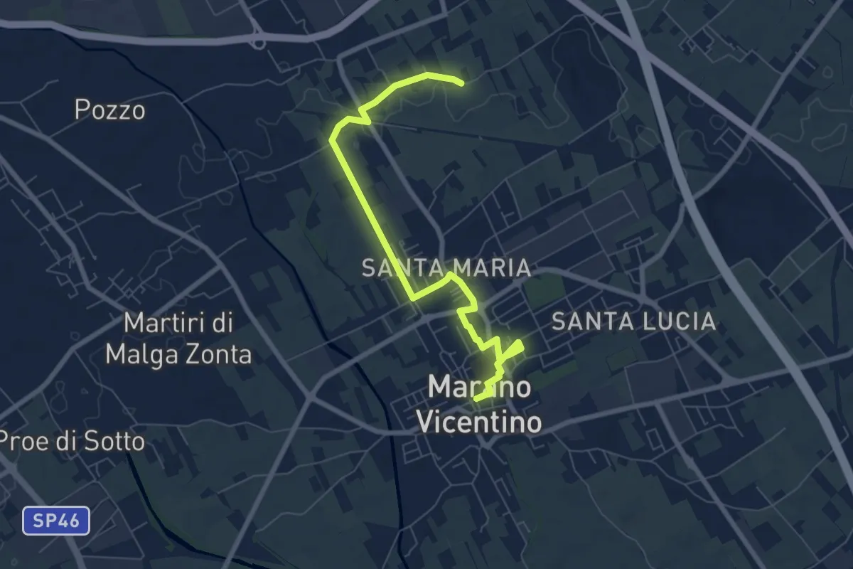
Easy · Trail
La Via del Pane - percorso nord
7.5 km · ↑ 17 m · 1 h 48 min · 12 km away
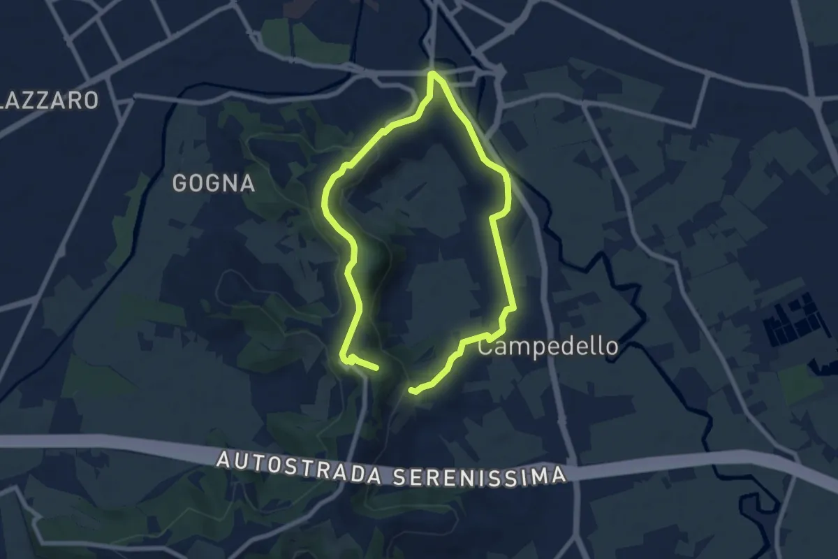
Medium · Trail
Sentiero Risorgimentale Vicentino
11.5 km · ↑ 293 m · 3 h 21 min · 13 km away
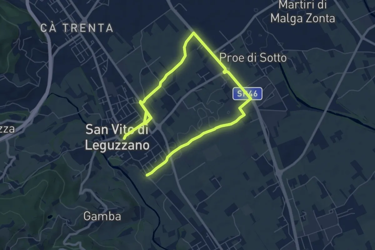
Medium · Trail
Sentiero dei campi
10.4 km · ↑ 17 m · 2 h 29 min · 14 km away
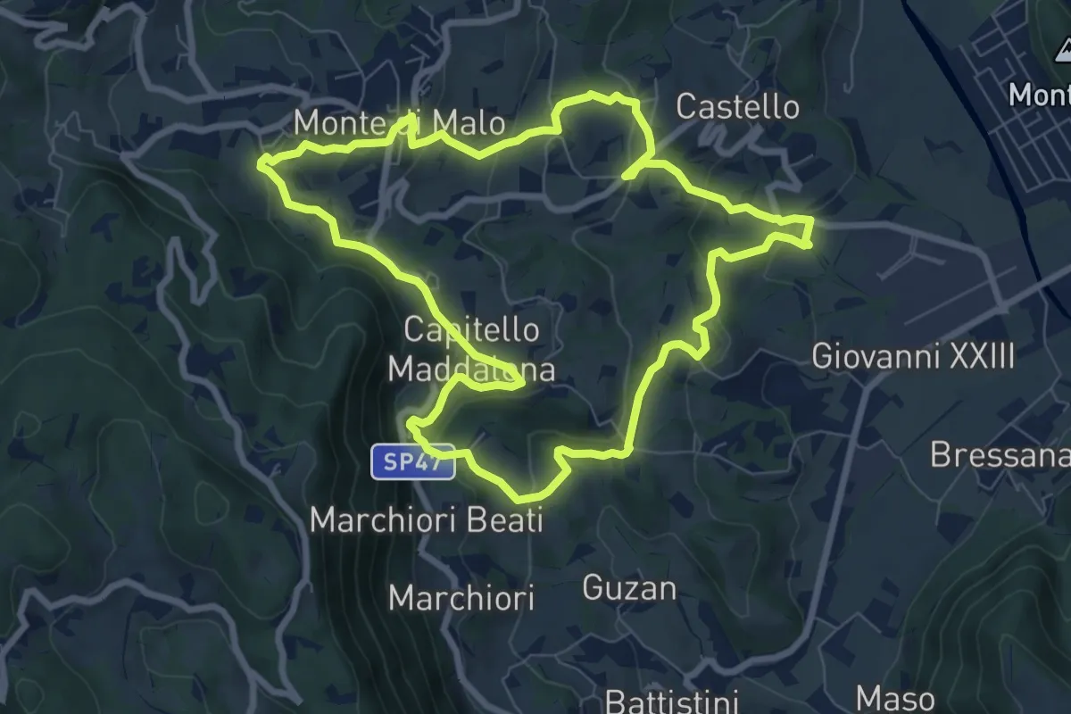
Medium · Trail
Anello del Buso della Rana (variante lunga)
8.0 km · ↑ 317 m · 2 h 42 min · 14 km away
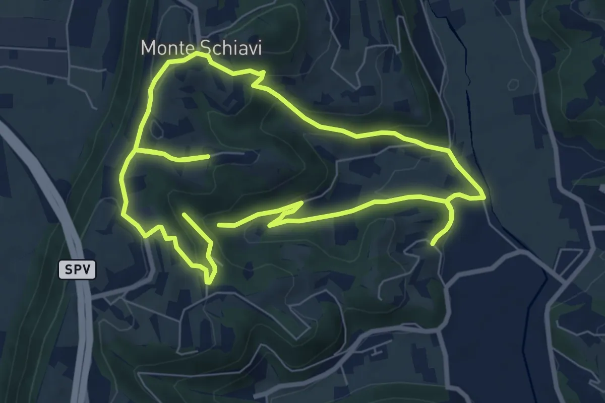
Easy · Trail
12-Maso, Vallarona, Monteschiavi, Valle del Podestà
6.9 km · ↑ 232 m · 2 h 15 min · 14 km away
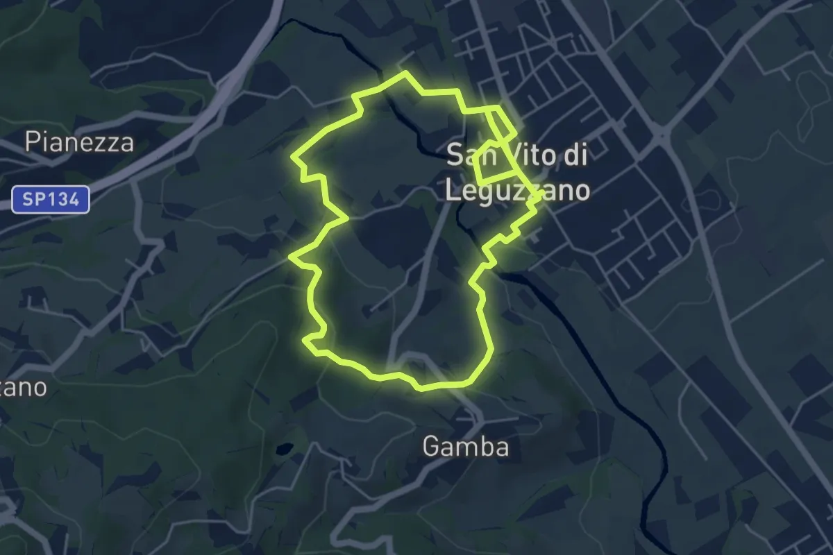
Easy · Trail
Sentiero Natura - Percorso 2 (verde)
4.7 km · ↑ 122 m · 1 h 27 min · 14 km away
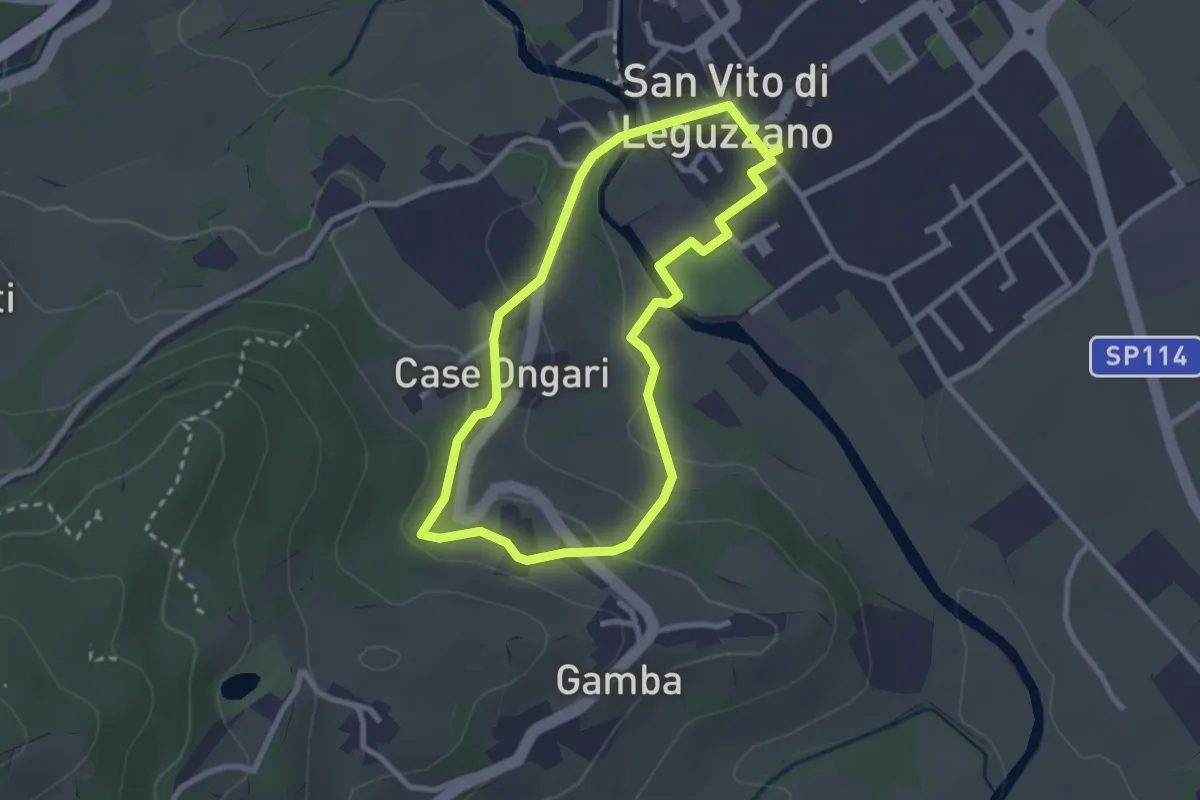
Easy · Trail
Sentiero Natura - Percorso 3 (giallo)
2.6 km · ↑ 70 m · 48 min · 14 km away
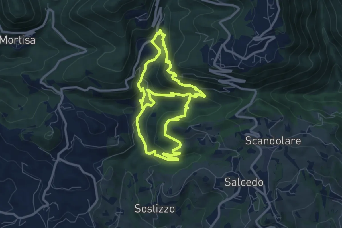
Medium · Trail
Valle dei Mulini
13.0 km · ↑ 738 m · 4 h 41 min · 15 km away
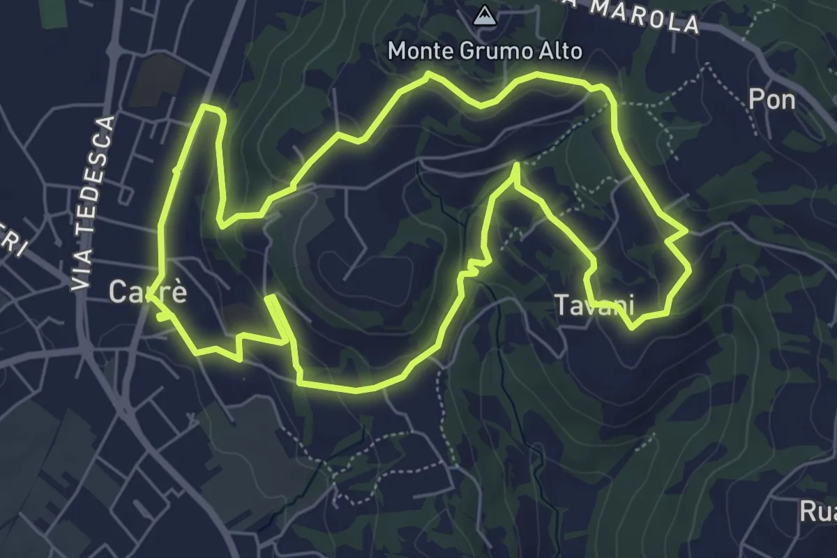
Easy · Trail
Sentiero Natura del Castello
6.6 km · ↑ 181 m · 2 h 2 min · 15 km away
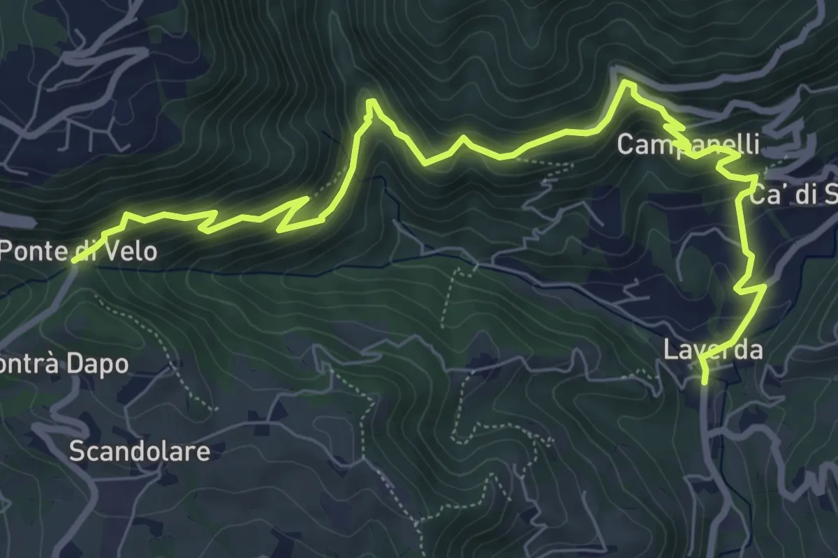
Medium · Trail
Sentiero dei Maronari
8.9 km · ↑ 552 m · 3 h 18 min · 15 km away
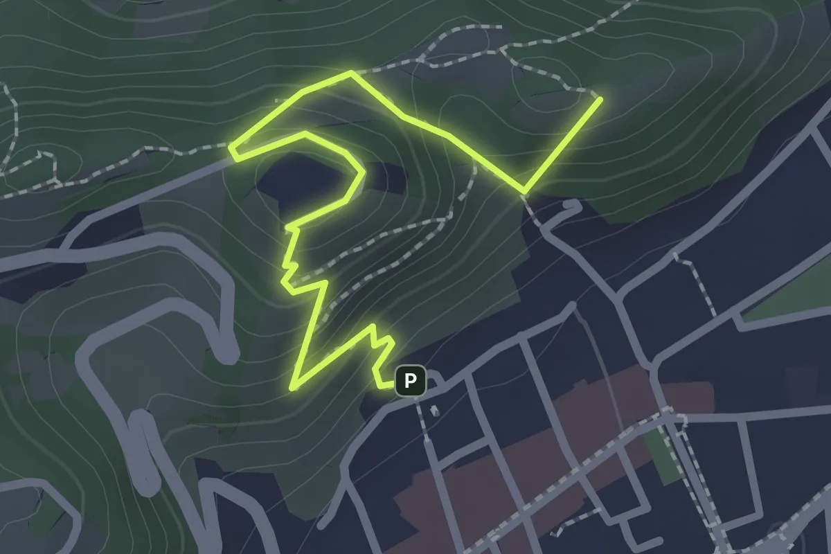
Easy · Summit
Sentiero panoramico e naturalistico
2.5 km · ↑ 165 m · 57 min · 15 km away