Trails near Empoli
65 hikes starting within 15 km, nearest first.
Nearest first, page 2 of 2
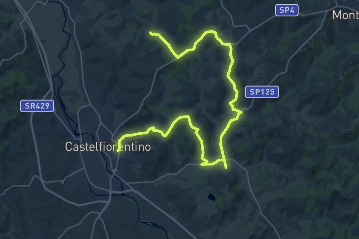
Demanding · Trail
Dolce campagna, antiche mura 10
28.7 km · ↑ 500 m · 7 h 52 min · 13 km away
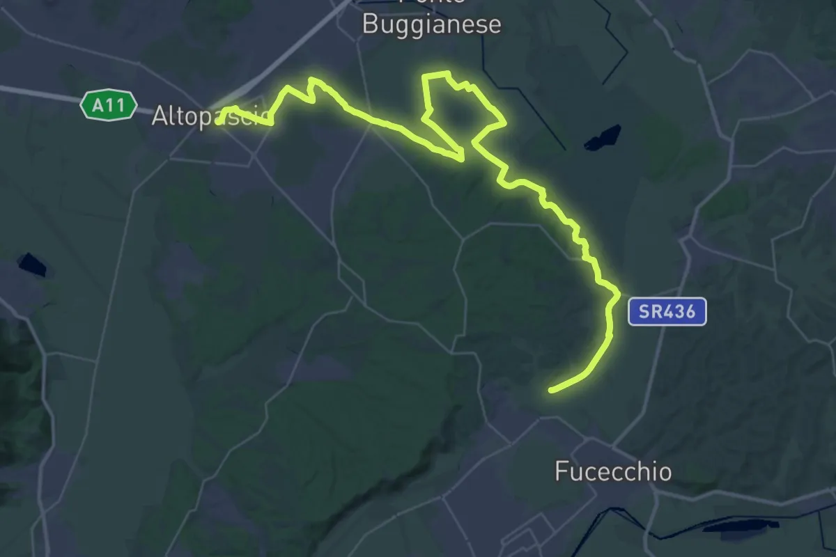
Demanding · Pilgrim path
Via Francigena - Variante d'acqua
25.8 km · ↑ 93 m · 6 h 39 min · 13 km away
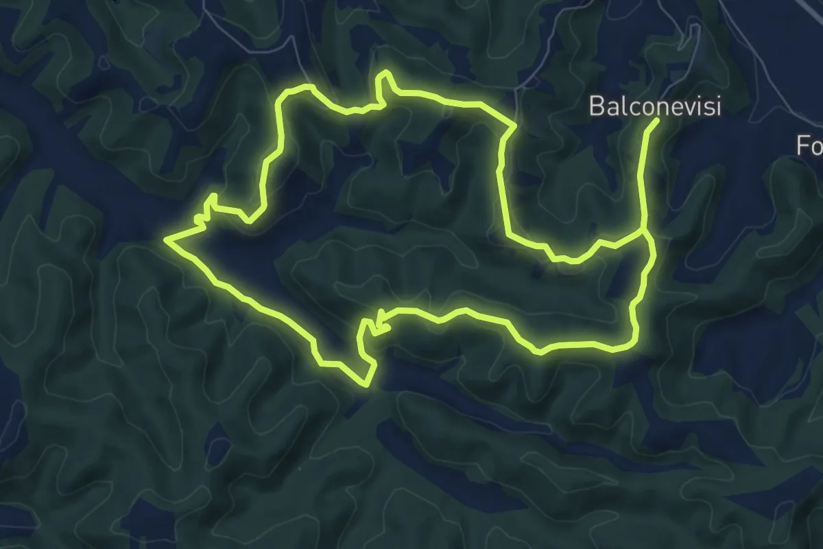
Medium · Trail
07 - Anello del Tartufo
9.2 km · ↑ 294 m · 2 h 56 min · 13 km away
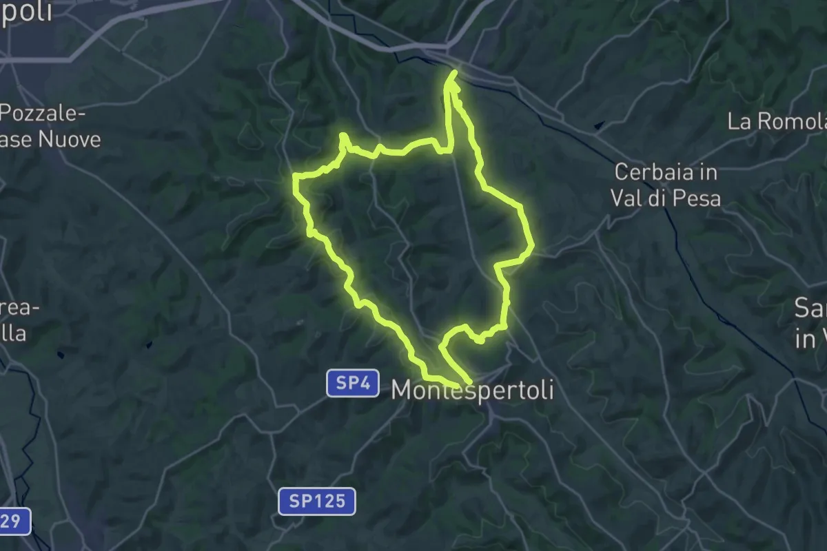
Demanding · Trail
Dolce campagna, antiche mura 4
24.0 km · ↑ 573 m · 7 h 14 min · 13 km away
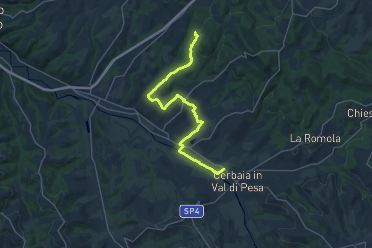
Demanding · Trail
Castellare – Roveta
18.2 km · ↑ 334 m · 5 h 1 min · 13 km away
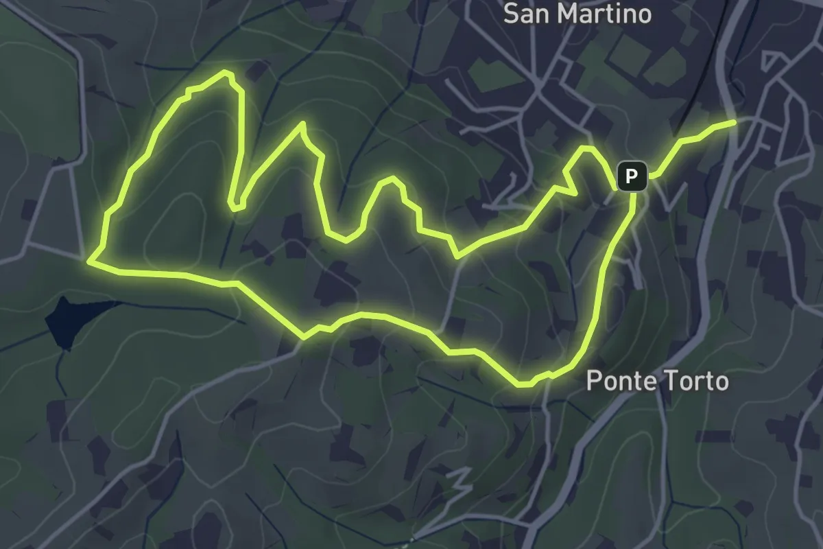
Easy · Trail
Anello Villa Caruso
4.9 km · ↑ 243 m · 1 h 46 min · 13 km away
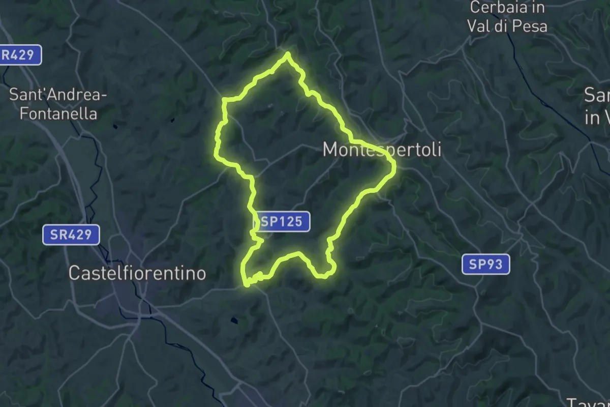
Demanding · Trail
Dolce campagna, antiche mura 3
26.4 km · ↑ 521 m · 7 h 44 min · 13 km away
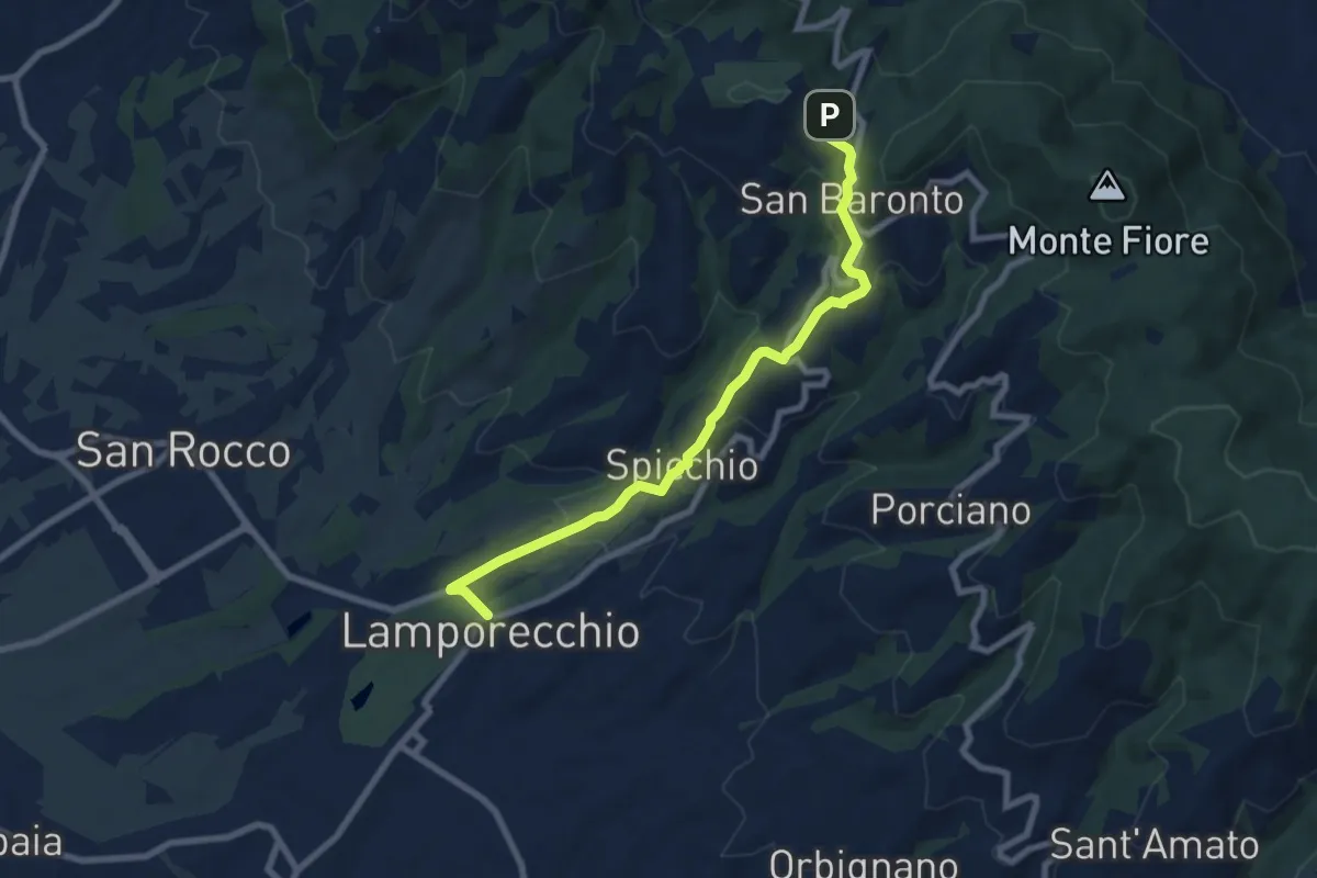
Medium · Trail
Lamporecchio – innesto sentiero 800
8.3 km · ↑ 305 m · 2 h 37 min · 14 km away
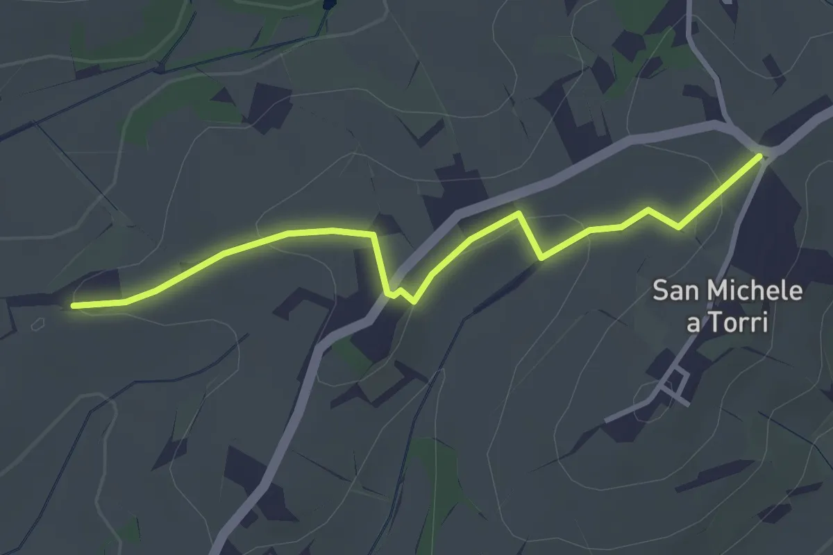
Easy · Trail
San Michele a Torri – innesto 731 - Mulinaccio
3.2 km · ↑ 69 m · 55 min · 14 km away
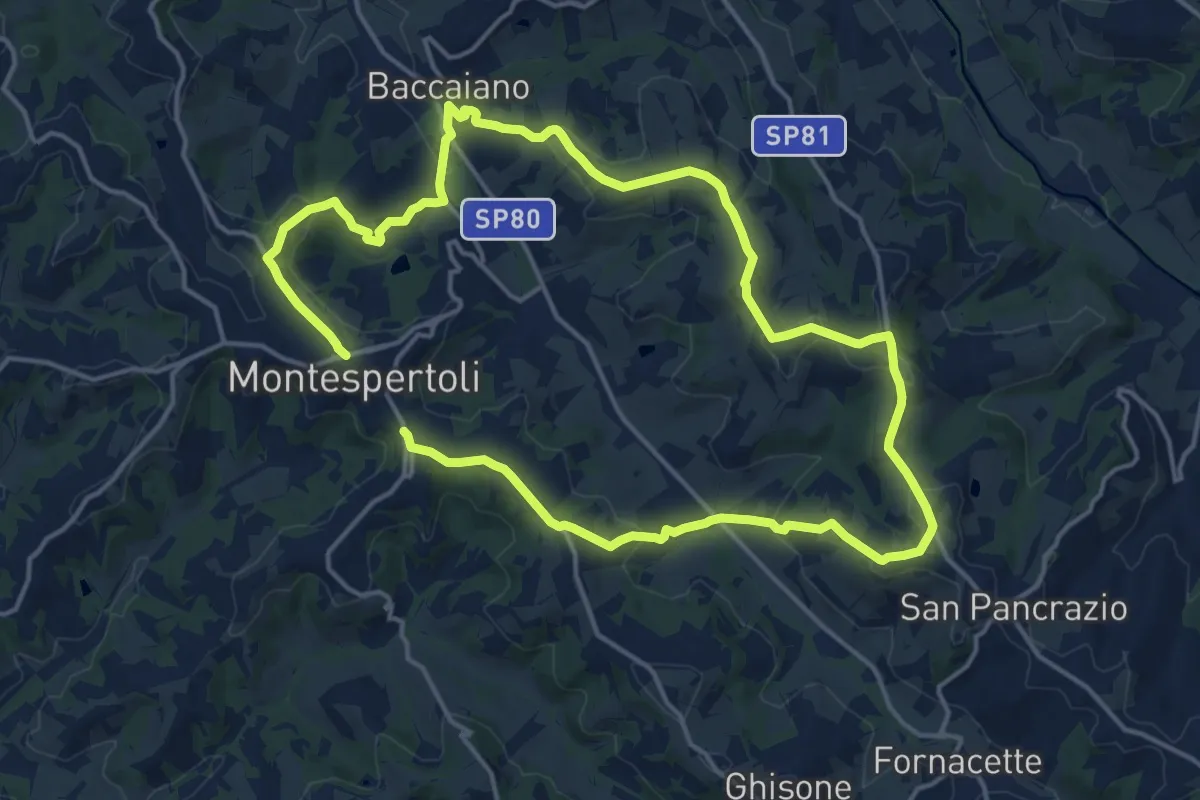
Medium · Trail
Dolce campagna, antiche mura 1
15.3 km · ↑ 366 m · 4 h 38 min · 14 km away
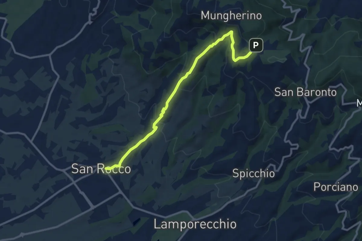
Medium · Trail
Larciano – innesto sentiero 800
8.6 km · ↑ 390 m · 2 h 53 min · 14 km away
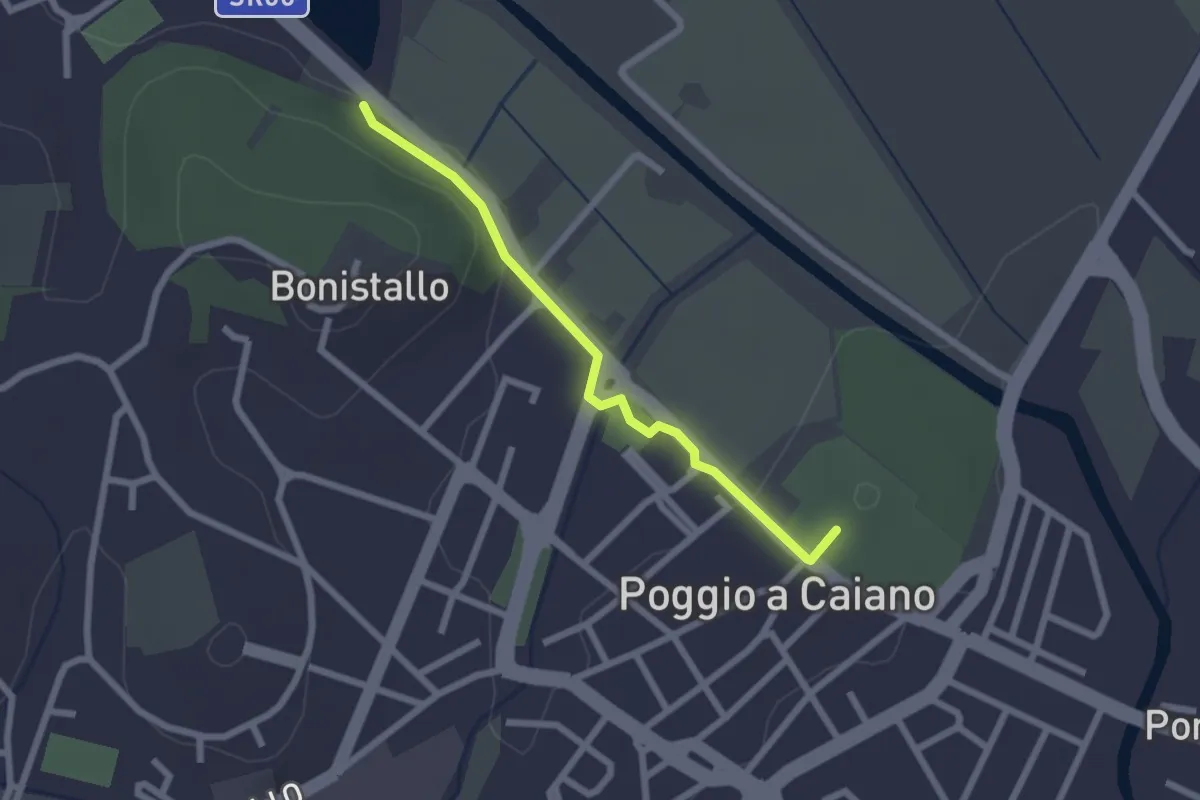
Easy · Trail
Poggio a Caiano – Bargo
2.3 km · ↑ 22 m · 35 min · 14 km away
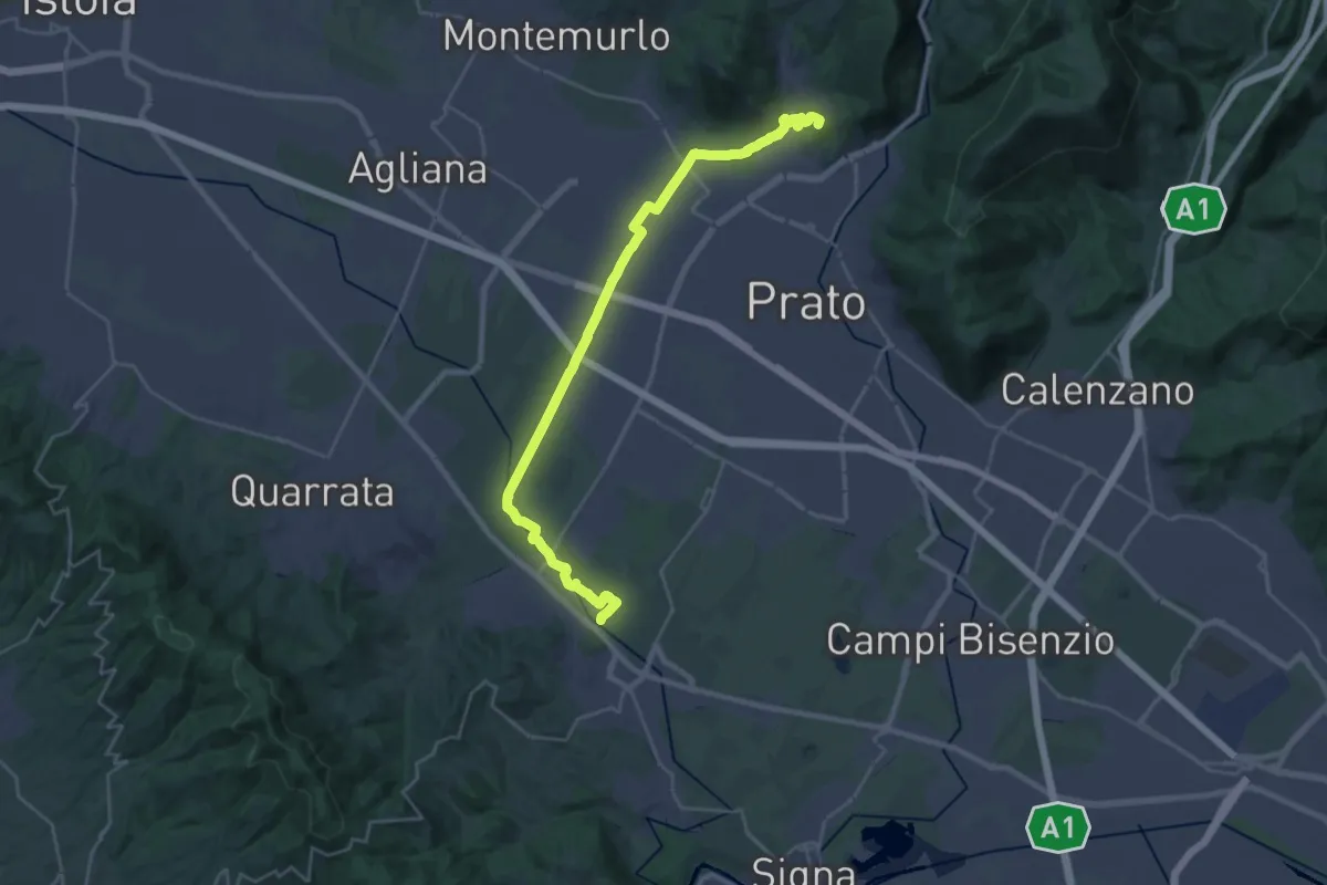
Demanding · Summit
Stazione Centrale Prato – Ponte Manetti - Cascine di Tavola
30.9 km · ↑ 147 m · 7 h 38 min · 14 km away
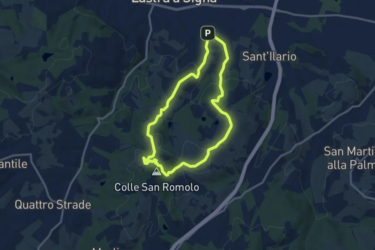
Easy · Summit
Anello di San-Romolo
6.6 km · ↑ 247 m · 2 h 11 min · 14 km away
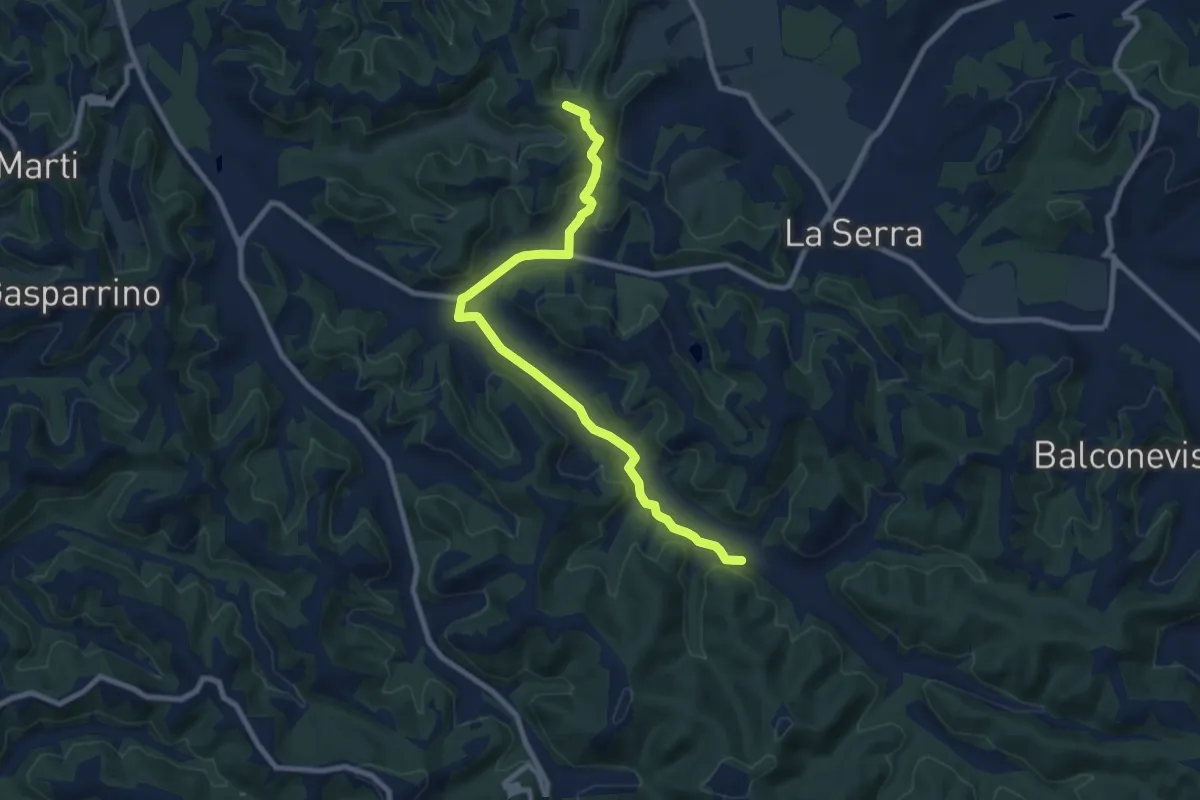
Medium · Trail
C03 - Collegamento Gran Anello Ovest
9.9 km · ↑ 171 m · 2 h 42 min · 15 km away
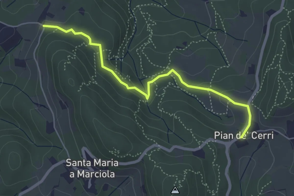
Easy · Trail
Pian de' Cerri – Roncigliano
4.9 km · ↑ 122 m · 1 h 25 min · 15 km away
Medium · Trail
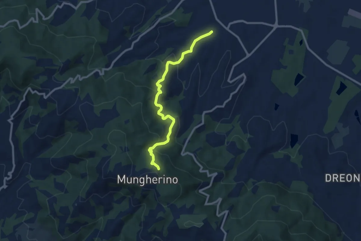
Casalguidi – innesto sentiero 800
7.1 km · ↑ 422 m · 2 h 36 min · 15 km away