Trails near Erba
239 hikes starting within 15 km, nearest first.
Nearest first, page 1 of 5
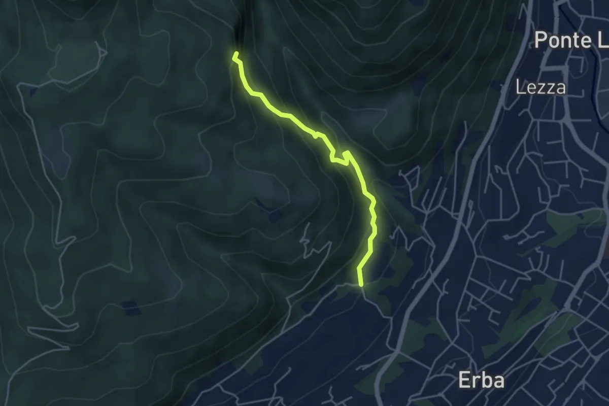
Demanding · Trail
C.na Ginocchio – Buco del Piombo
3.7 km · ↑ 335 m · 1 h 36 min · 1 km away
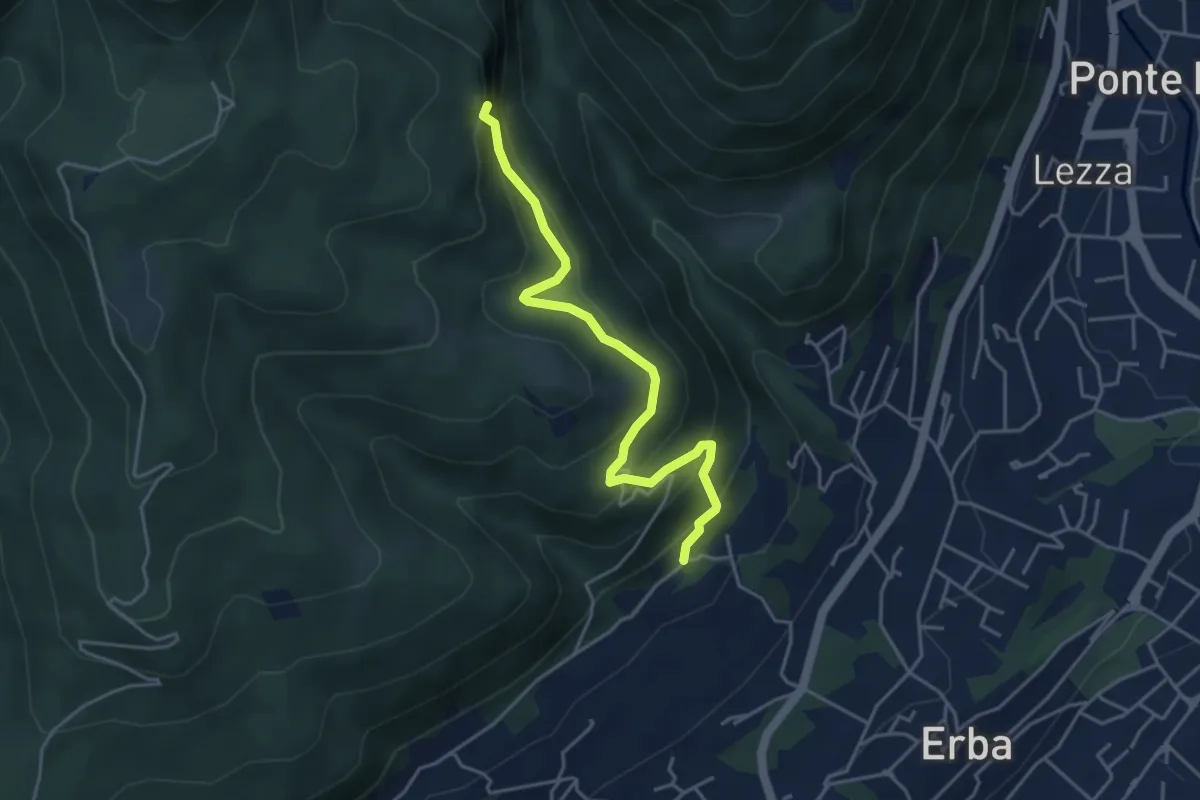
Medium · Trail
C.na Paradiso – Buco del Piombo
4.4 km · ↑ 324 m · 1 h 44 min · 1 km away
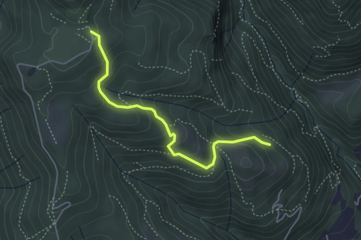
Medium · Trail
Cardögia – Alpe del Vicerè
3.8 km · ↑ 238 m · 1 h 25 min · 2 km away
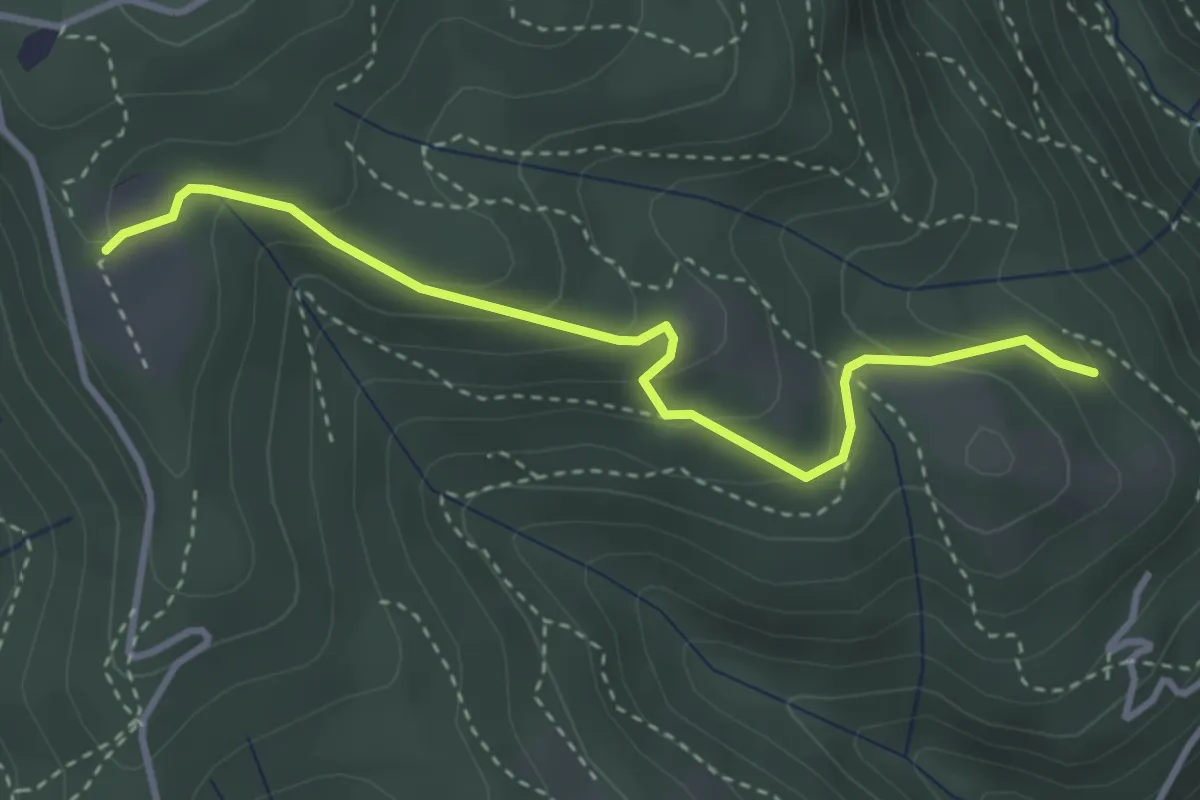
Easy · Trail
Cardögia – Ex Albergo la Salute
3.5 km · ↑ 186 m · 1 h 14 min · 2 km away
Medium · Trail
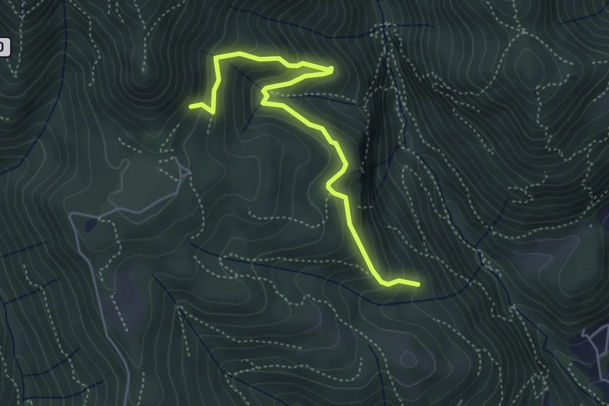
Praa Sciresöö – Rifugio Cacciatori
4.8 km · ↑ 479 m · 2 h 10 min · 2 km away
Medium · Trail
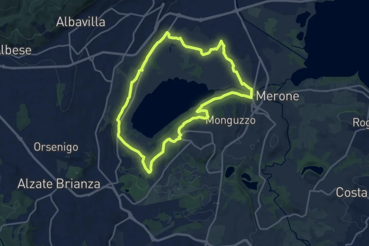
Attorno al lago di Alserio
11.3 km · ↑ 162 m · 3 h 11 min · 2 km away
Easy · Trail
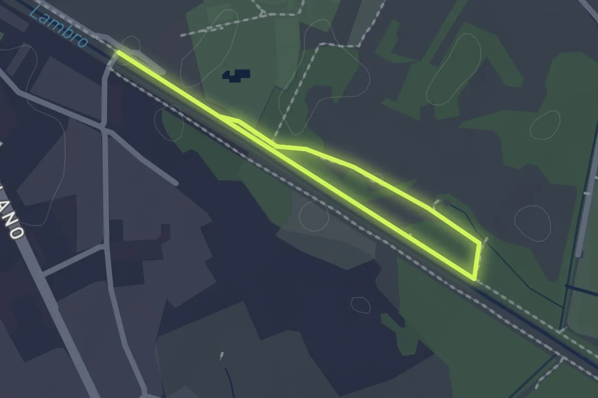
Percorso minore
1.3 km · ↑ 0 m · 20 min · 2 km away
Demanding · Summit
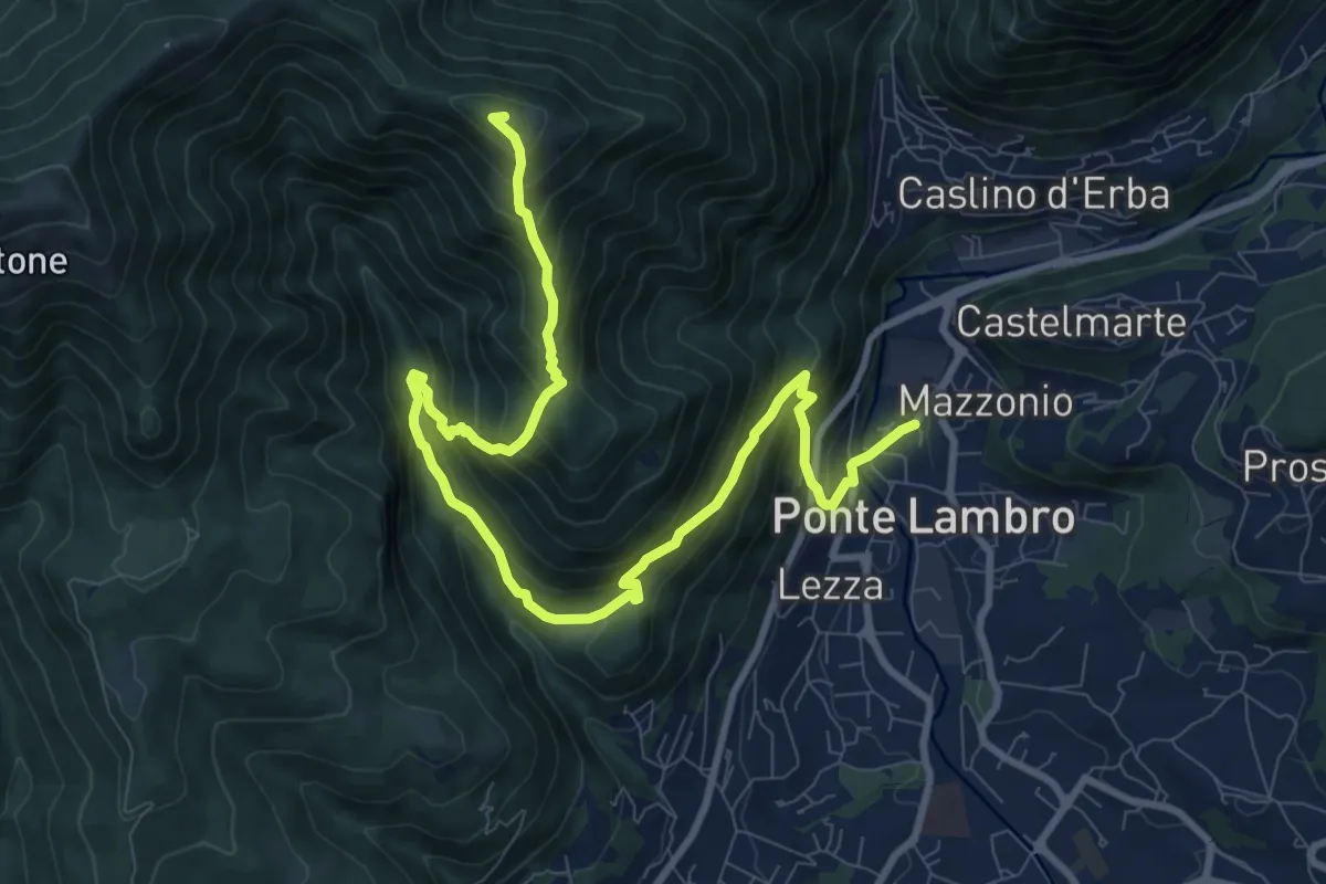
Ponte Lambro – Monte Puscio
11.7 km · ↑ 1032 m · 5 h · 2 km away
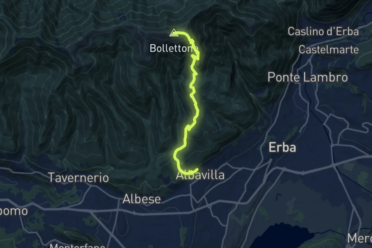
Demanding · Summit
Albavilla – Monte Bolettone
12.1 km · ↑ 820 m · 4 h 38 min · 2 km away
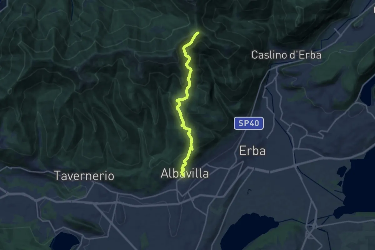
Medium · Cabin
Albavilla – RIfugio Capanna Mara
12.2 km · ↑ 779 m · 4 h 34 min · 2 km away
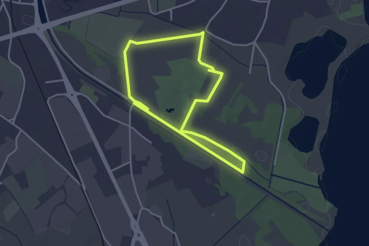
Easy · Trail
Percorso maggiore
2.8 km · ↑ 9 m · 44 min · 2 km away
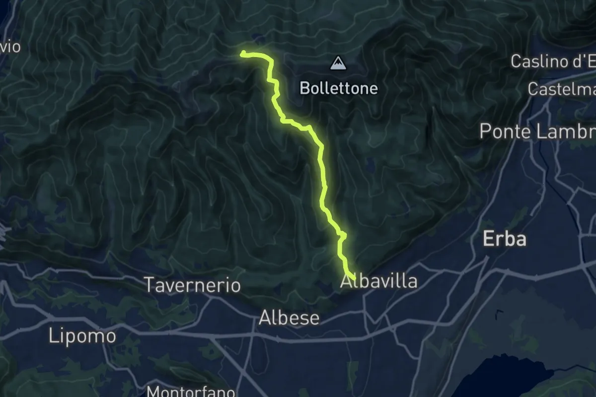
Medium · Trail
Sentiero 18: Albavilla (Via ai Monti) - Baita Patrizi - Bocchetta di Molina
10.9 km · ↑ 640 m · 3 h 58 min · 3 km away
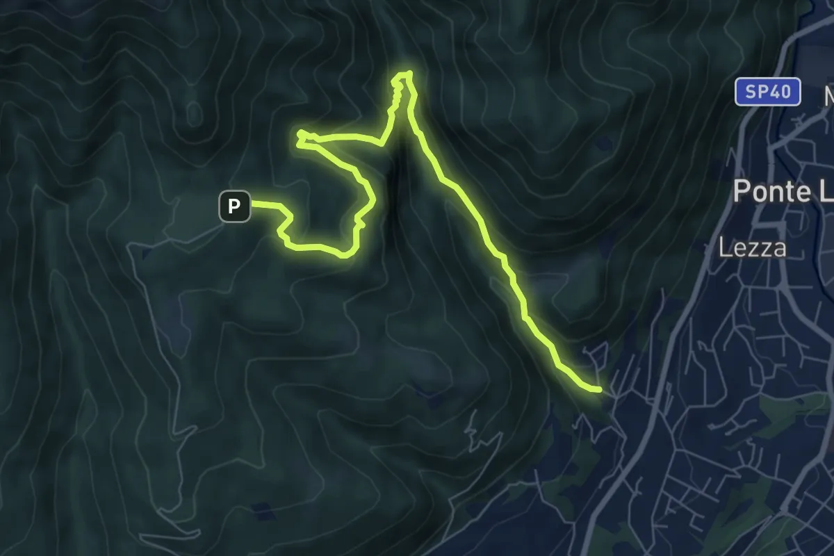
Demanding · Trail
Ca Nova – Alpe Vicerè
8.5 km · ↑ 602 m · 3 h 18 min · 3 km away
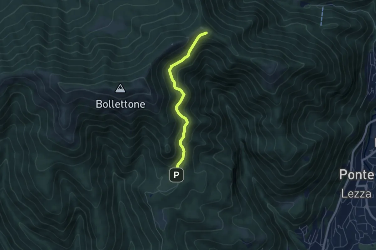
Easy · Cabin
Sentiero 23: Alpe del Vicerè - Rifugio Cacciatori - Capanna Mara
4.9 km · ↑ 303 m · 1 h 48 min · 3 km away
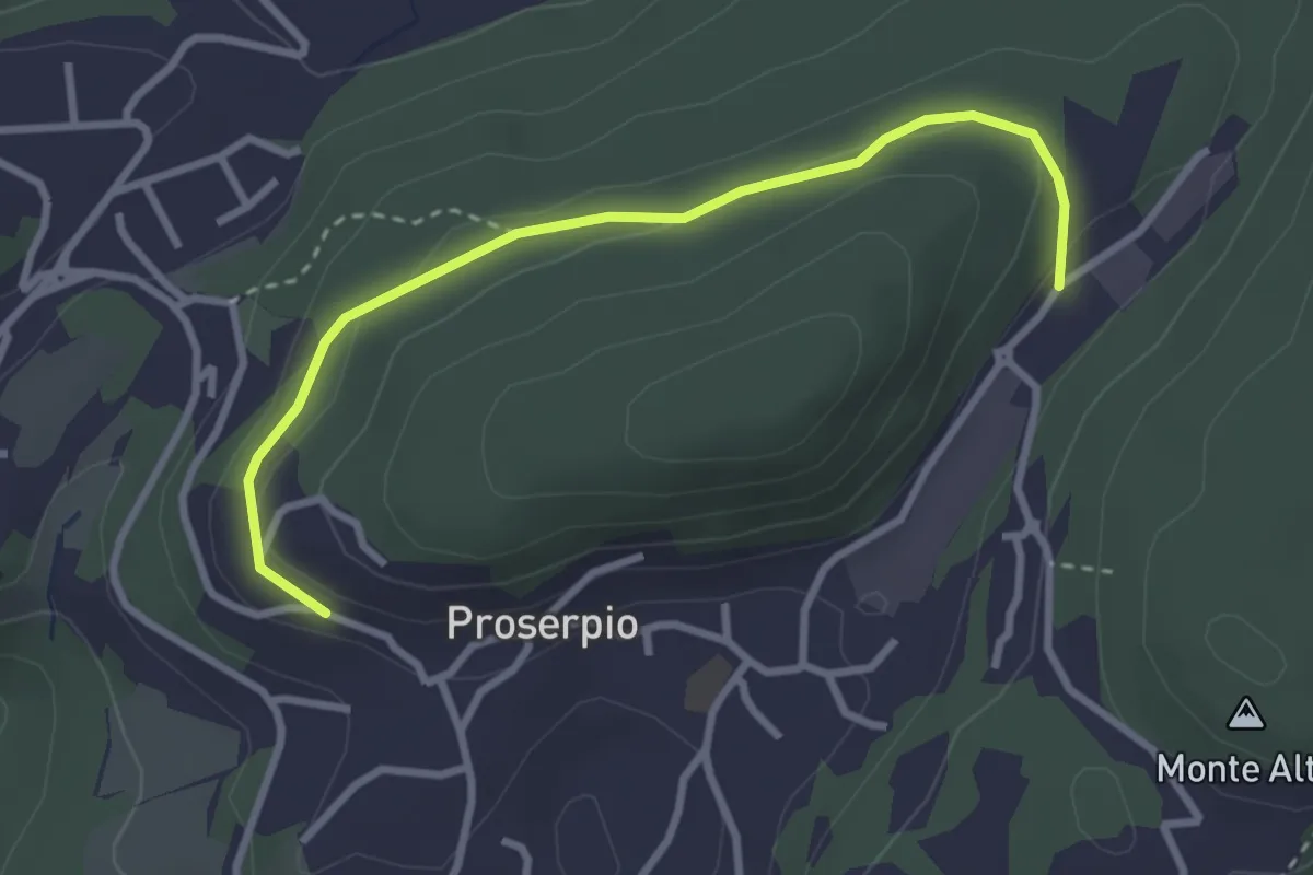
Easy · Trail
Rusera (Proserpio) – Zona industriale di Proseprio
3.1 km · ↑ 50 m · 51 min · 3 km away
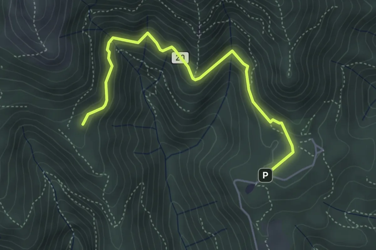
Medium · Trail
Sentiero 20: Alpe del Viceré - Baita Patrizi
4.8 km · ↑ 275 m · 1 h 44 min · 3 km away
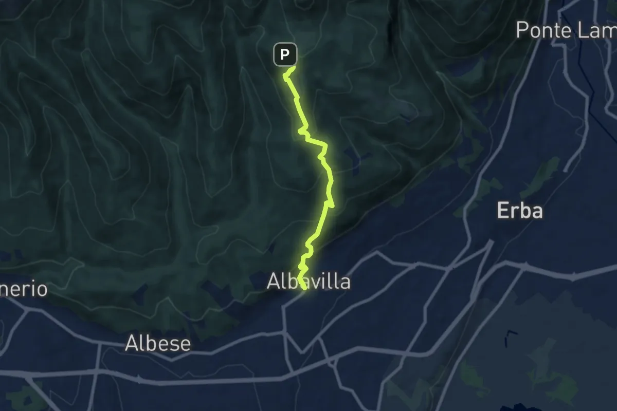
Medium · Trail
Sentiero degli Alpini
6.5 km · ↑ 474 m · 2 h 33 min · 3 km away
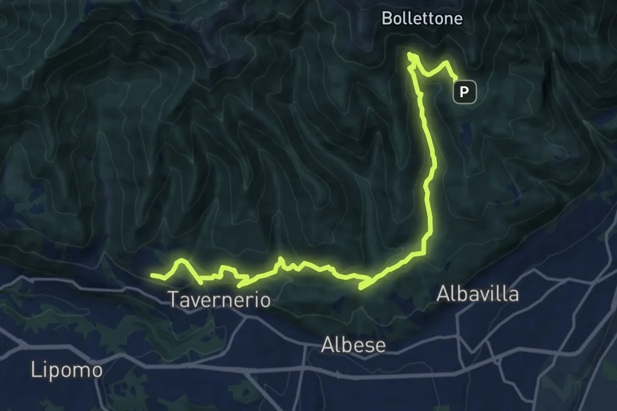
Demanding · Trail
Caslascio (Tavernerio) – Alpe del Vicerè
17.7 km · ↑ 819 m · 5 h 57 min · 3 km away
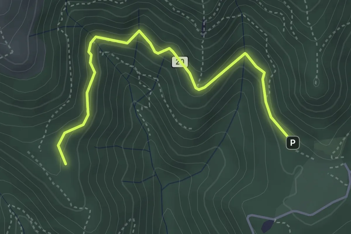
Medium · Trail
Alpe del Vicerè – Baita Patrizi
4.1 km · ↑ 256 m · 1 h 31 min · 3 km away
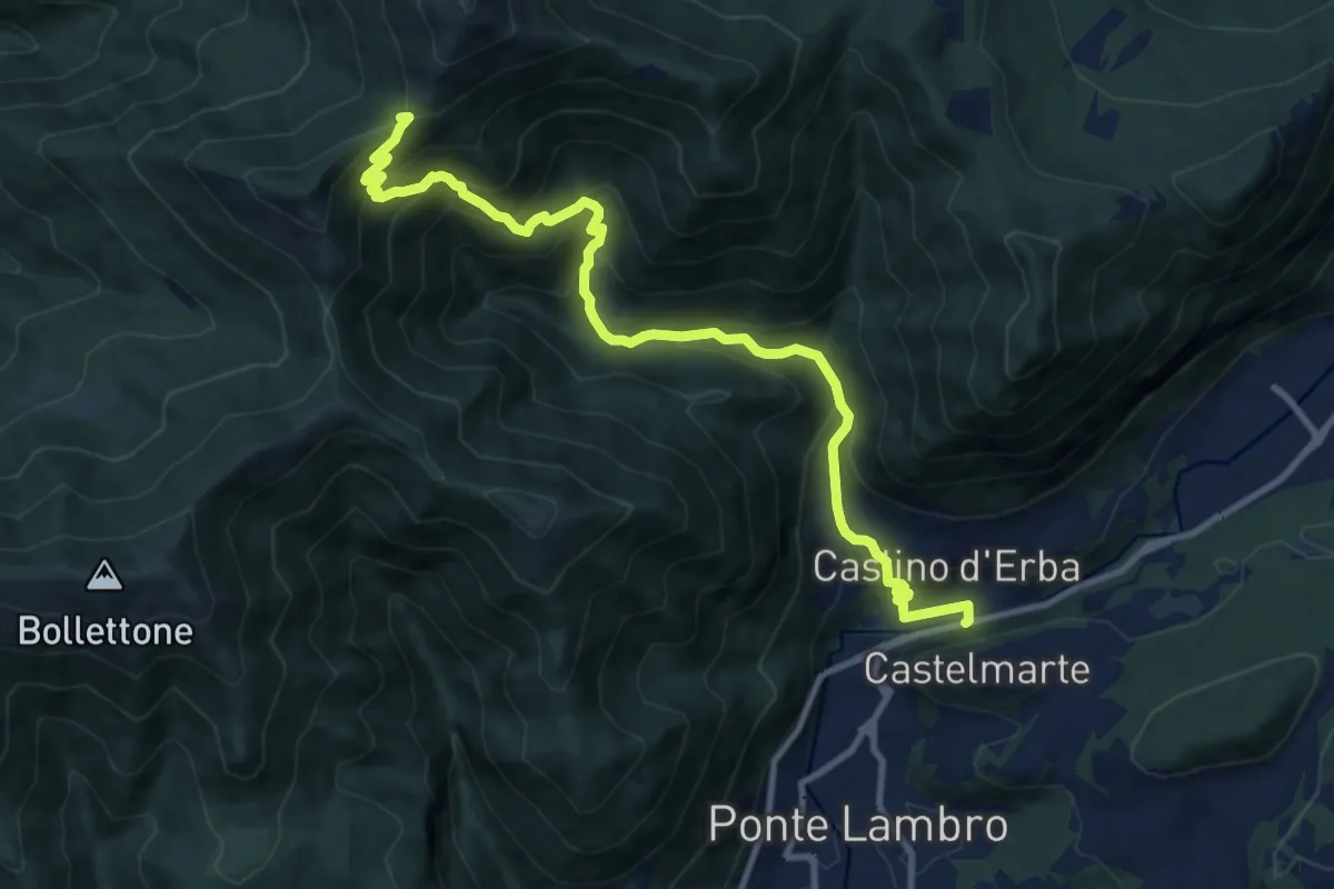
Demanding · Trail
Caslino d'Erba – Bocchetta di Palanzo
11.7 km · ↑ 912 m · 4 h 45 min · 3 km away
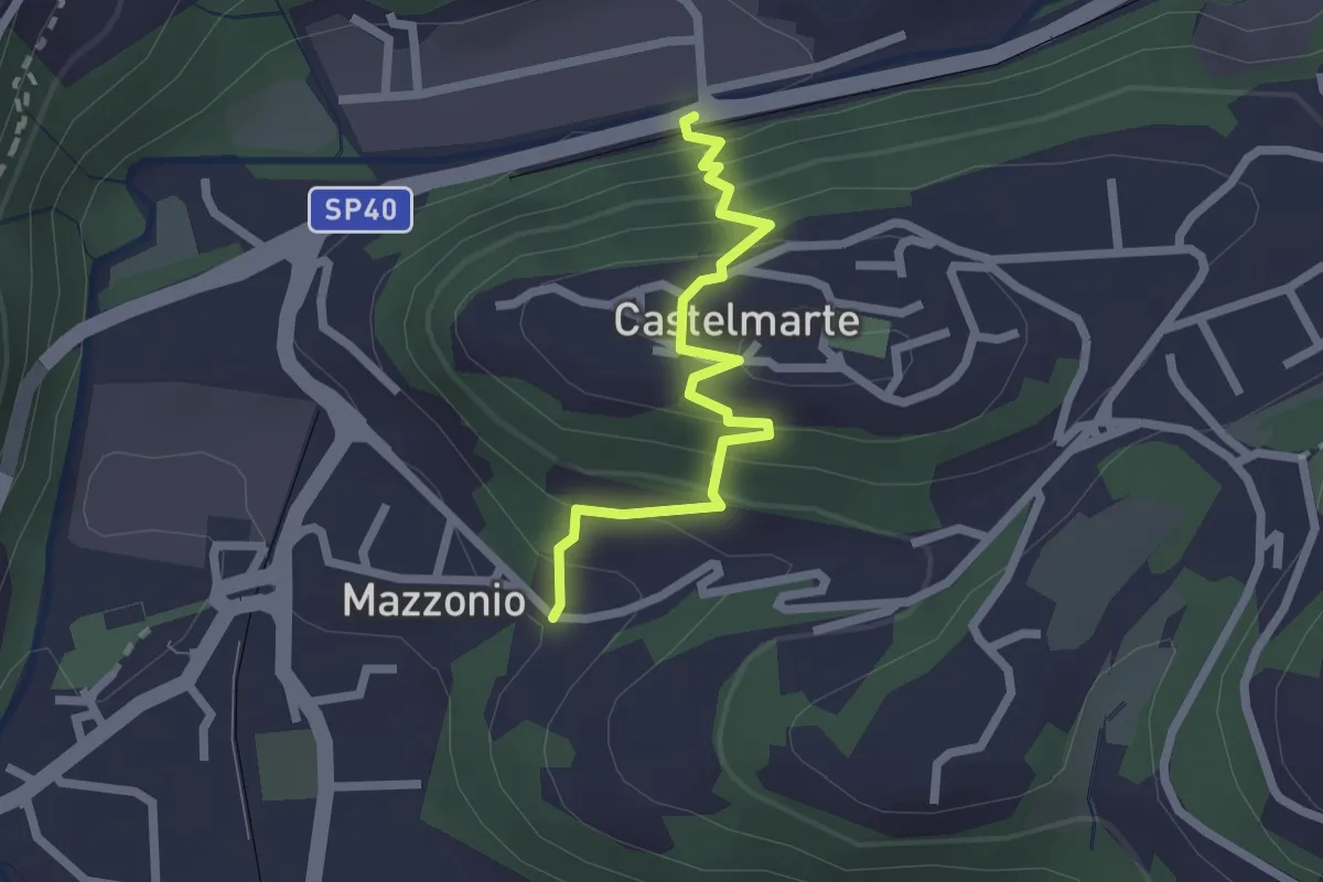
Easy · Trail
Stazione di Caslino d'Erba – Mazzonio (Ponte Lambro)
2.2 km · ↑ 199 m · 56 min · 3 km away
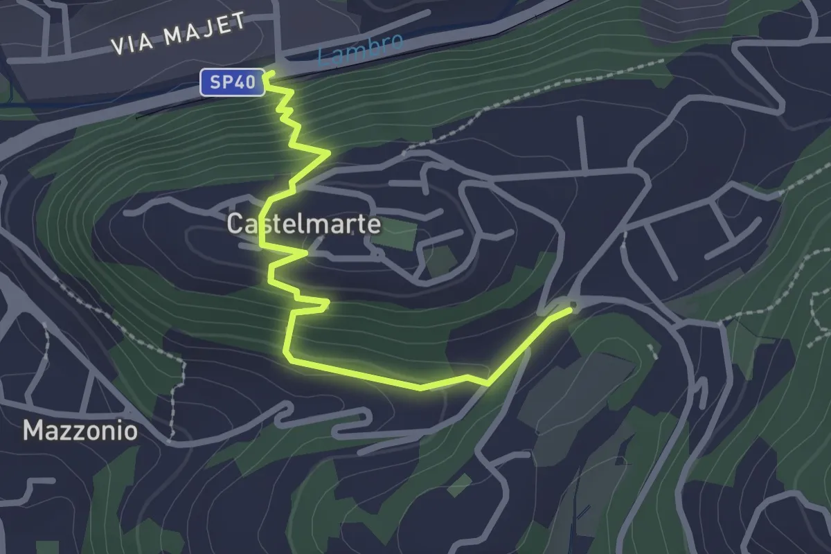
Easy · Trail
Stazione di Caslino d'Erba – Castelmarte
2.5 km · ↑ 179 m · 58 min · 3 km away
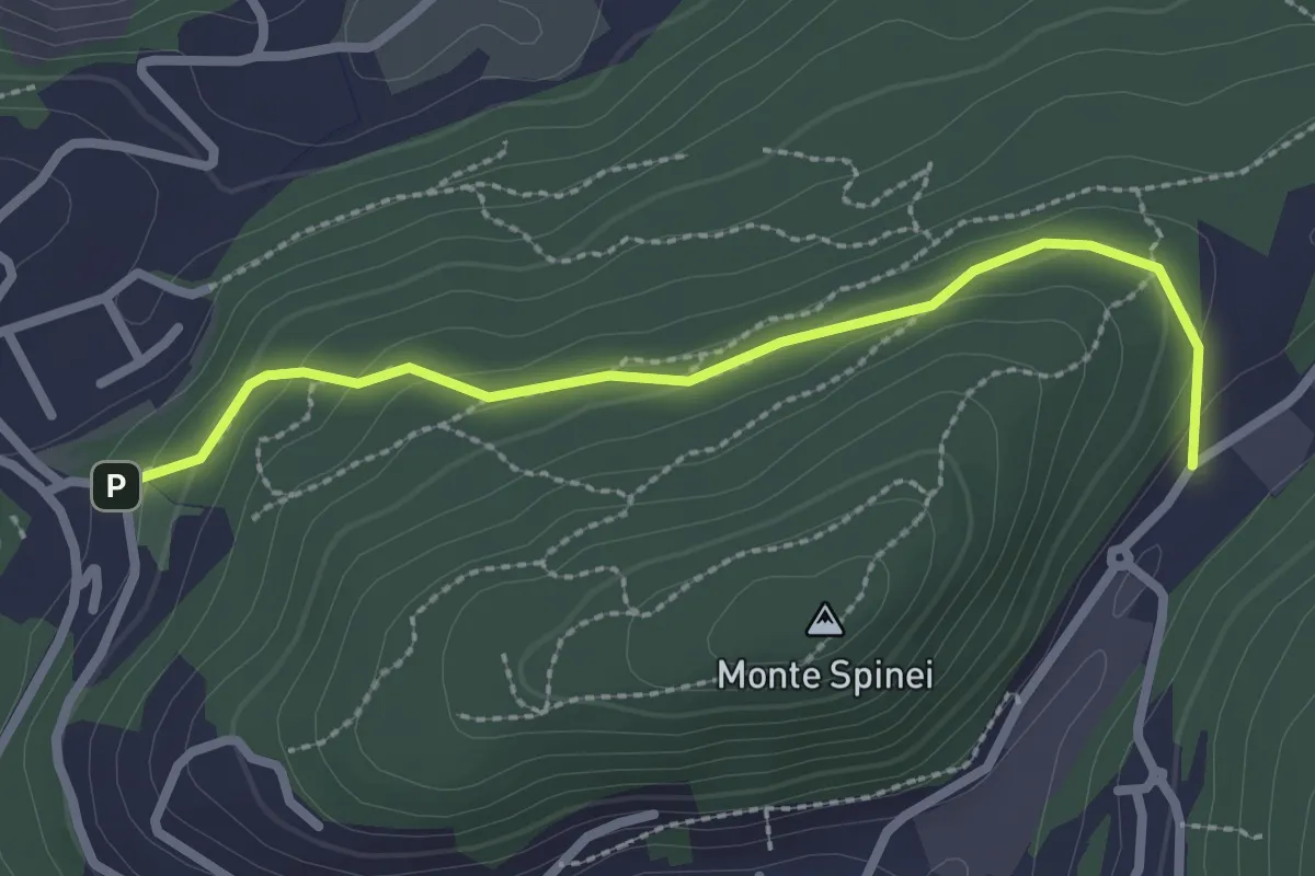
Easy · Trail
Bosco della Gualdera – Zona industriale di Proseprio
2.6 km · ↑ 85 m · 48 min · 3 km away
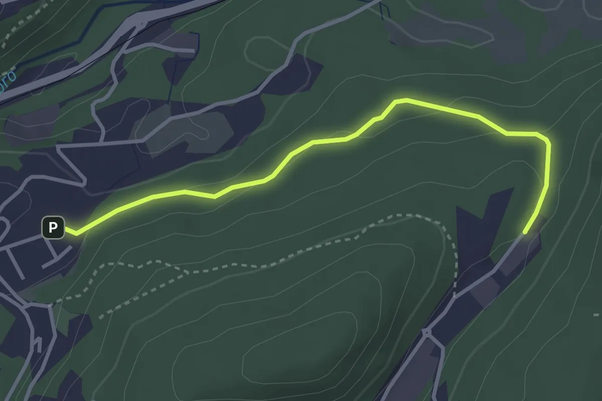
Easy · Trail
Sasso del Numero – Zona industriale di Proseprio
3.3 km · ↑ 99 m · 59 min · 3 km away
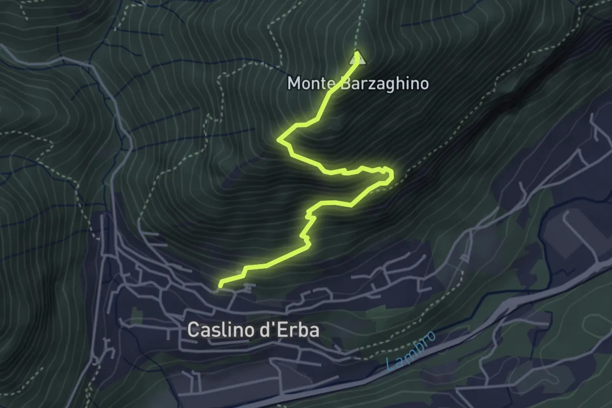
Demanding · Summit
Caslino d’Erba – Via ai Ronchi – Monte Barzaghino
3.9 km · ↑ 614 m · 2 h 15 min · 3 km away
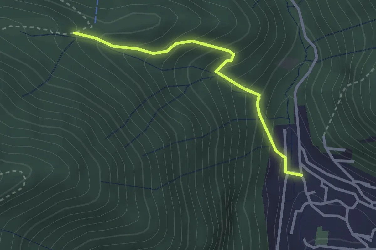
Easy · Trail
Sentiero Tamon - variante per Capanna Mara
2.5 km · ↑ 283 m · 1 h 12 min · 3 km away
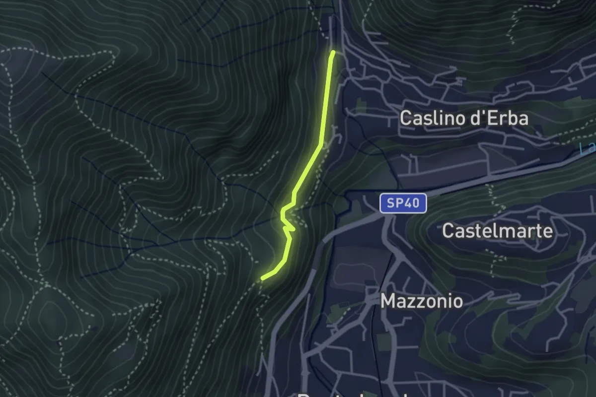
Demanding · Trail
Caslino d’Erba, loc. Punt di Murnèe – incrocio con sentiero 312 per Monte Puscio
2.3 km · ↑ 102 m · 46 min · 3 km away
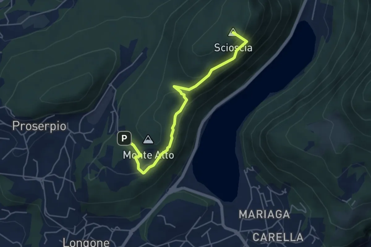
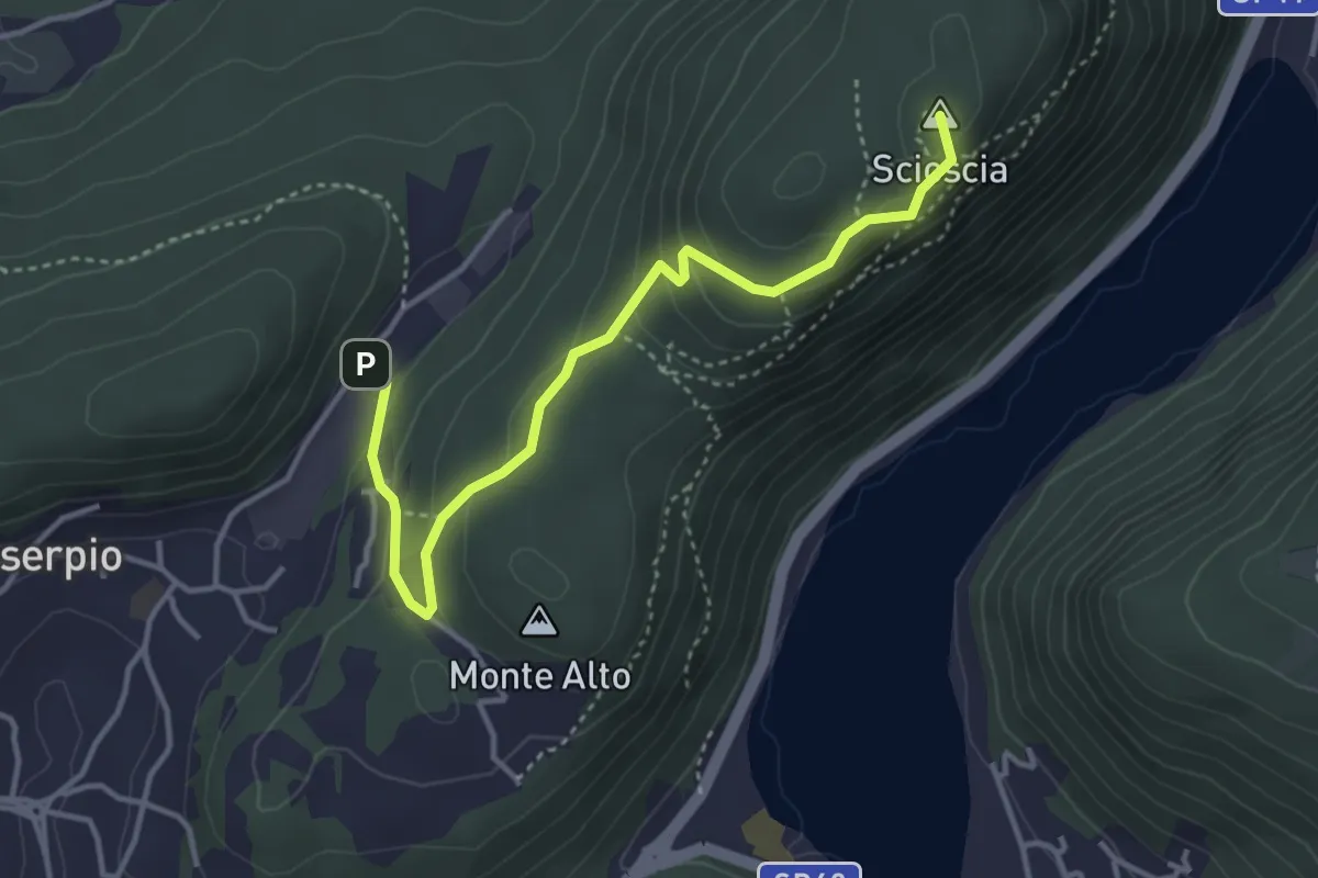
Demanding · Summit
Inarca (Proserpio) – Monte Scioscia
4.3 km · ↑ 243 m · 1 h 33 min · 4 km away
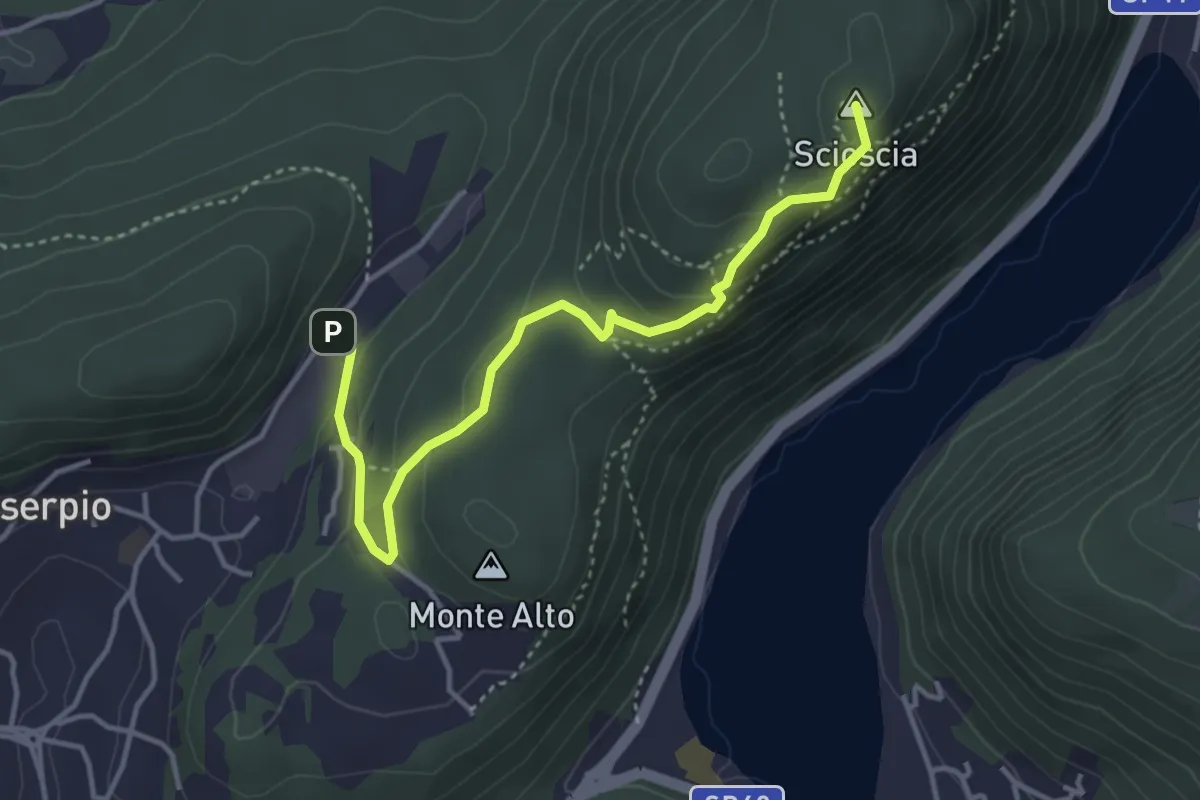
Easy · Summit
Zona industriale di Proseprio – Canzo
4.0 km · ↑ 173 m · 1 h 19 min · 4 km away
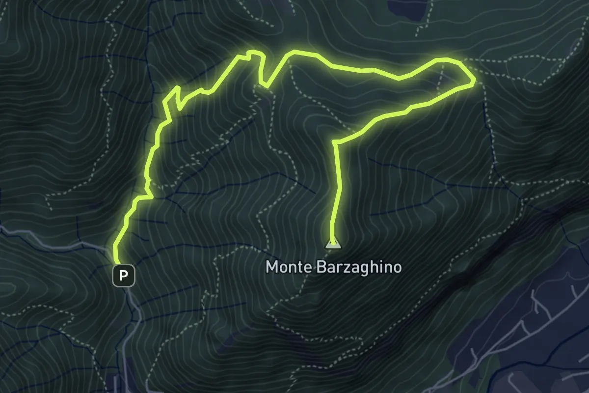
Demanding · Summit
Zona industriale di Proseprio – Canzo
4.1 km · ↑ 185 m · 1 h 21 min · 4 km away
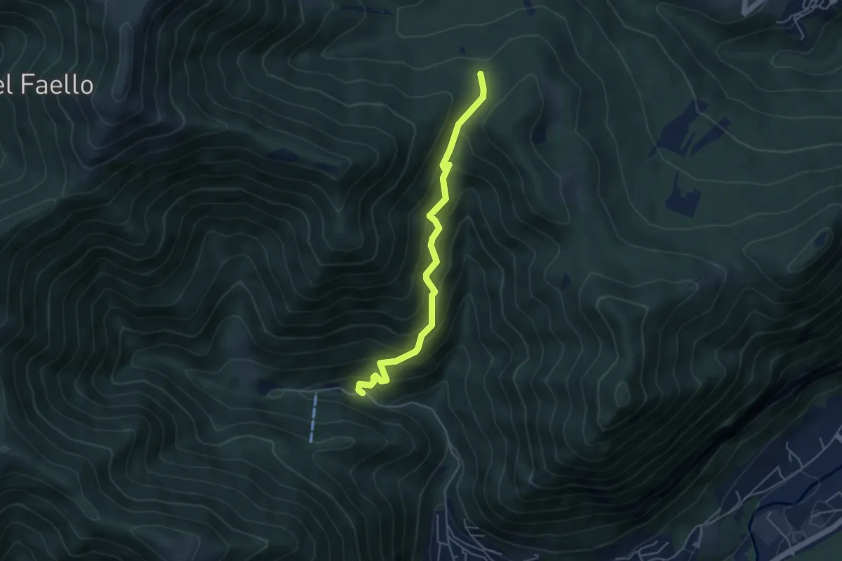
Demanding · Summit
strada per Forum Franciscanum – Monte Barzaghino
8.0 km · ↑ 642 m · 3 h 17 min · 4 km away
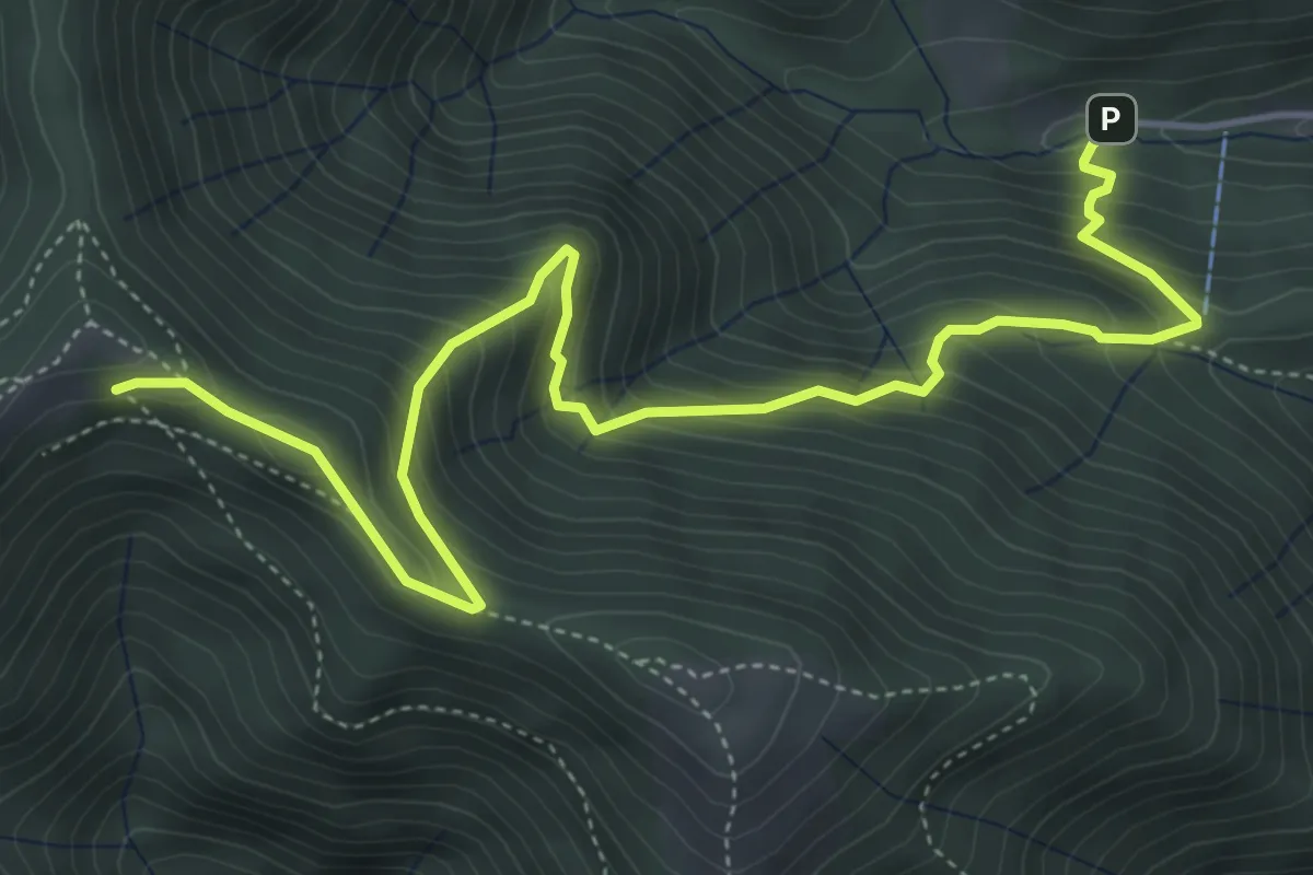
Medium · Trail
Forum Franciscanum – Bocchetta della Vallunga
4.6 km · ↑ 458 m · 2 h 5 min · 4 km away
Medium · Cabin
Alpe del Prina – Rifugio Capanna Mara
6.2 km · ↑ 586 m · 2 h 44 min · 4 km away
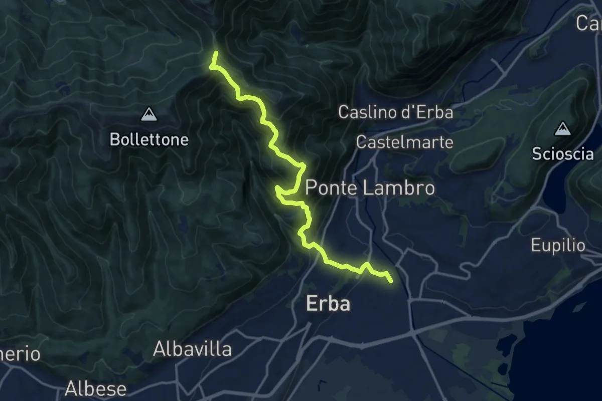
Demanding · Trail
Stazione di Erba – Bocchetta di Lemma
13.9 km · ↑ 1049 m · 5 h 34 min · 4 km away
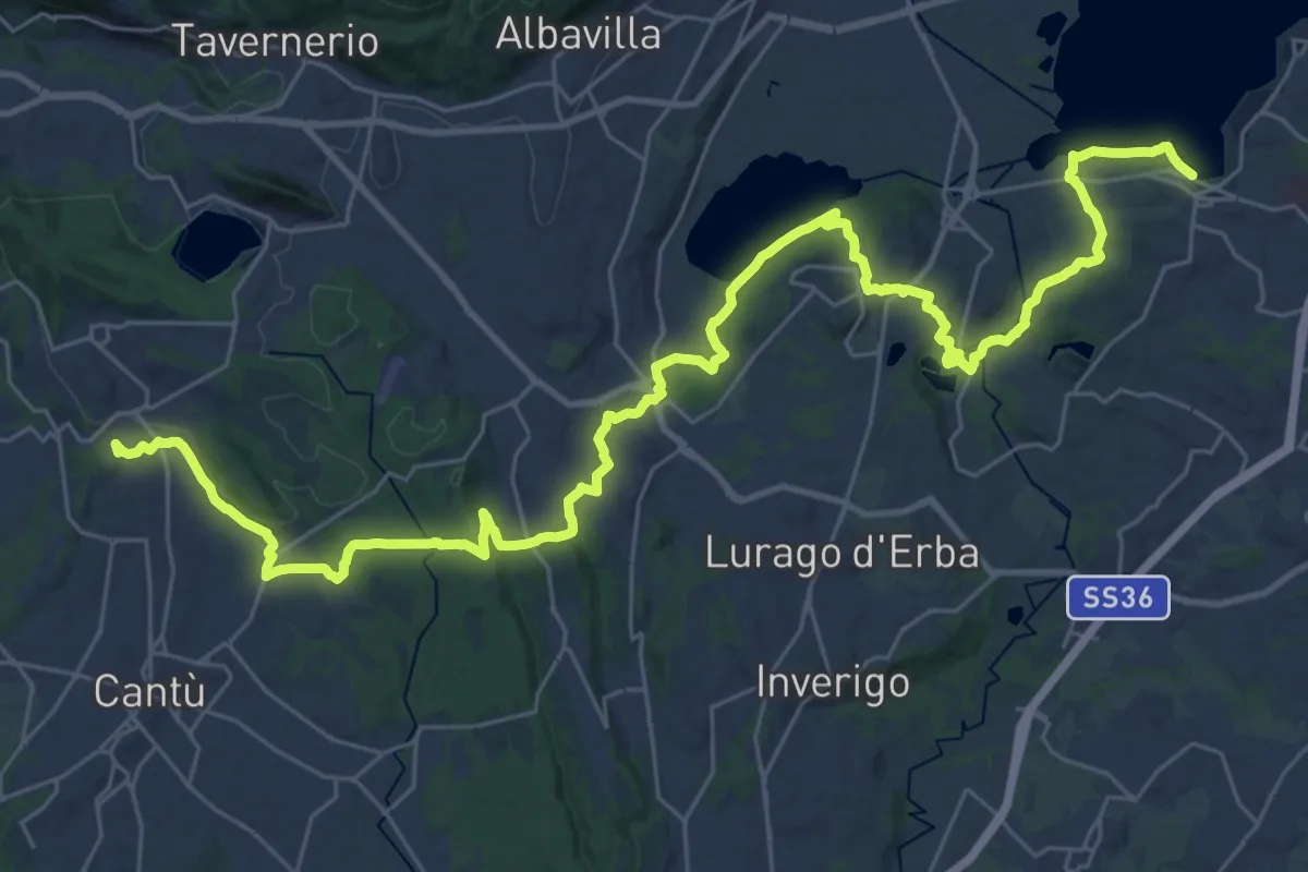
Demanding · Trail
Sentiero Pedemonte - Tappa 2
21.4 km · ↑ 377 m · 6 h 7 min · 5 km away
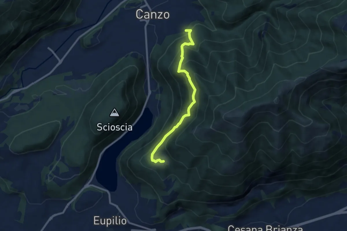
Medium · Trail
Rifugio SEC "Marisa Consigliere" – Alpe di Carella
6.6 km · ↑ 618 m · 2 h 54 min · 5 km away
Medium · Trail
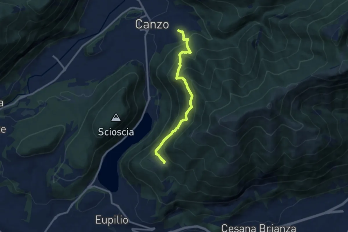
Senterun
6.7 km · ↑ 648 m · 2 h 59 min · 5 km away
Demanding · Summit
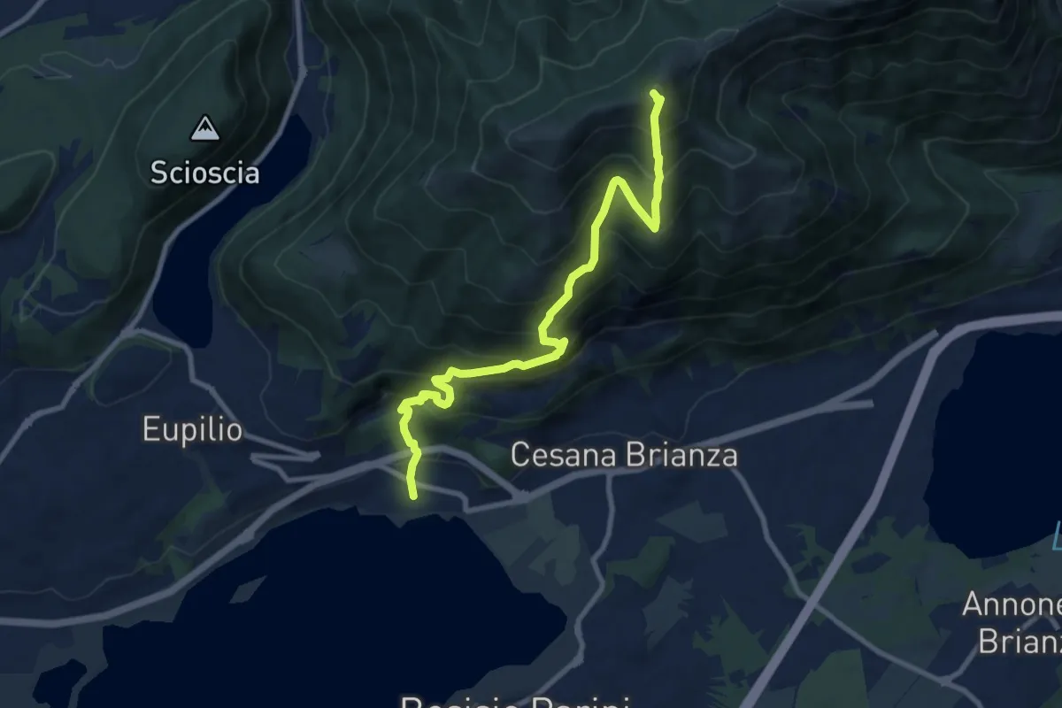
Pusiano – Monte Cornizzolo
9.6 km · ↑ 1053 m · 4 h 32 min · 5 km away
Medium · Trail
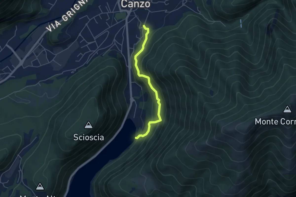
Lago del Segrino – Canzo
4.2 km · ↑ 399 m · 1 h 52 min · 5 km away
Medium · Trail
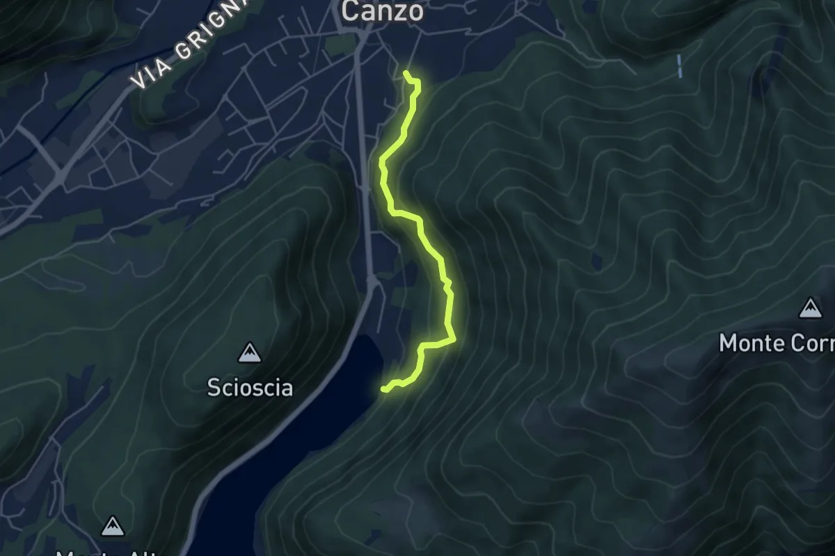
Sentiero di Budracch
4.2 km · ↑ 399 m · 1 h 52 min · 5 km away
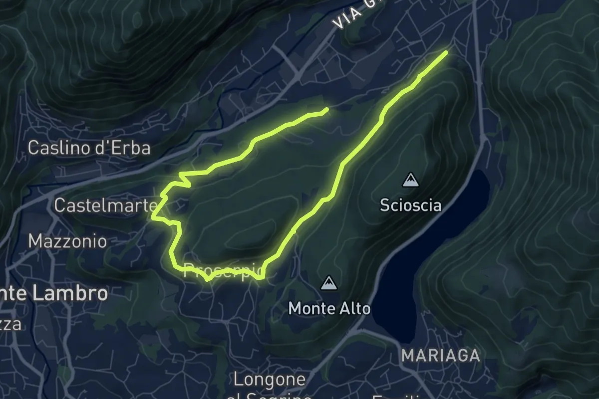
Medium · Trail
Canzo – C.na Emilia (Castelmarte)
12.0 km · ↑ 306 m · 3 h 30 min · 6 km away
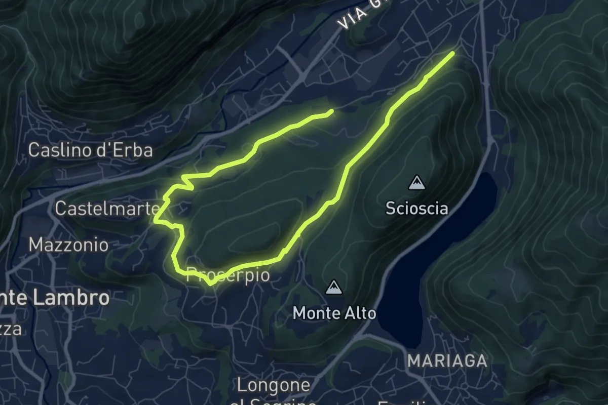
Medium · Trail
Canzo – C.na Emilia (Castelmarte)
11.8 km · ↑ 289 m · 3 h 24 min · 6 km away
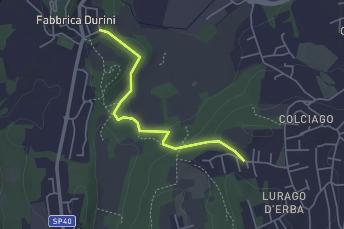
Easy · Trail
Fabbrica Durini – Careggia
3.3 km · ↑ 83 m · 58 min · 6 km away
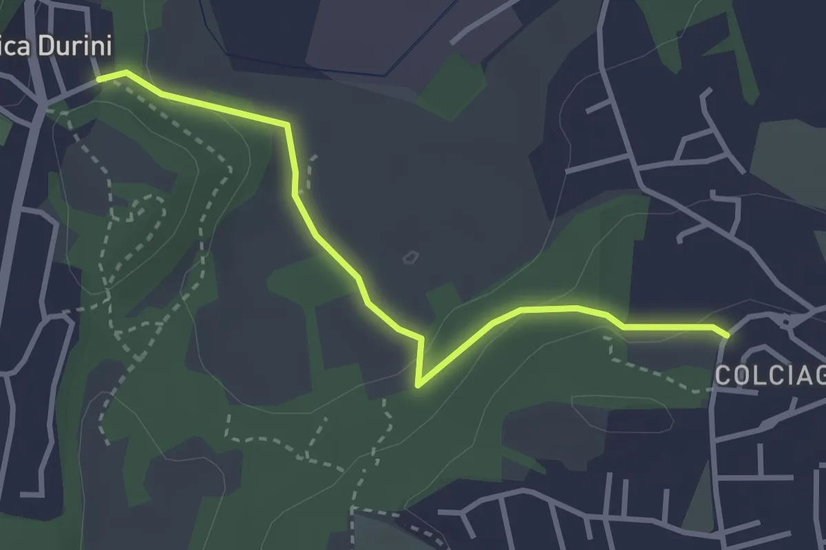
Easy · Trail
Fabbrica Durini – Colciago
3.0 km · ↑ 85 m · 54 min · 6 km away
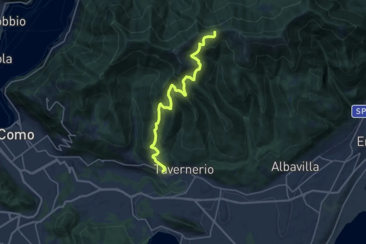
Demanding · Trail
Via Cesare Battisti (Solzago) – Incrocio Sentiero 300 V - Sentiero 363
14.2 km · ↑ 910 m · 5 h 20 min · 6 km away
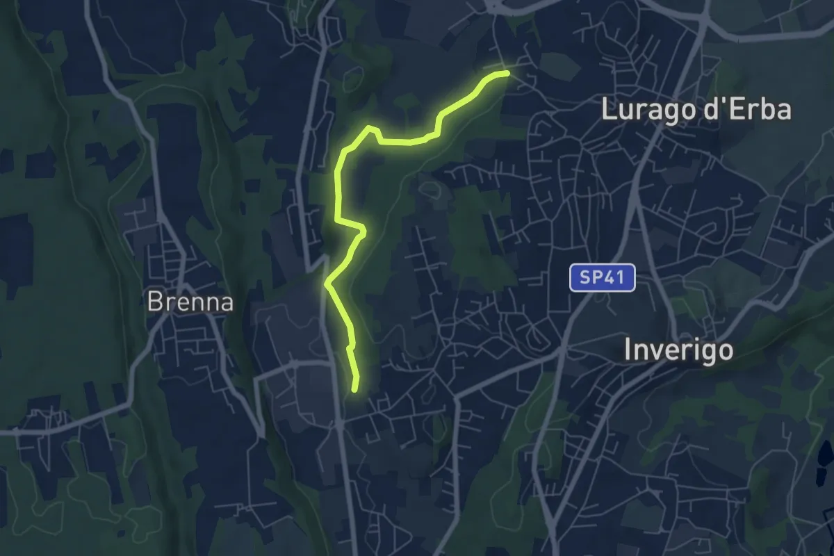
Easy · Trail
Cremnago (lazzaretto) – Pioppette
5.7 km · ↑ 81 m · 1 h 31 min · 6 km away
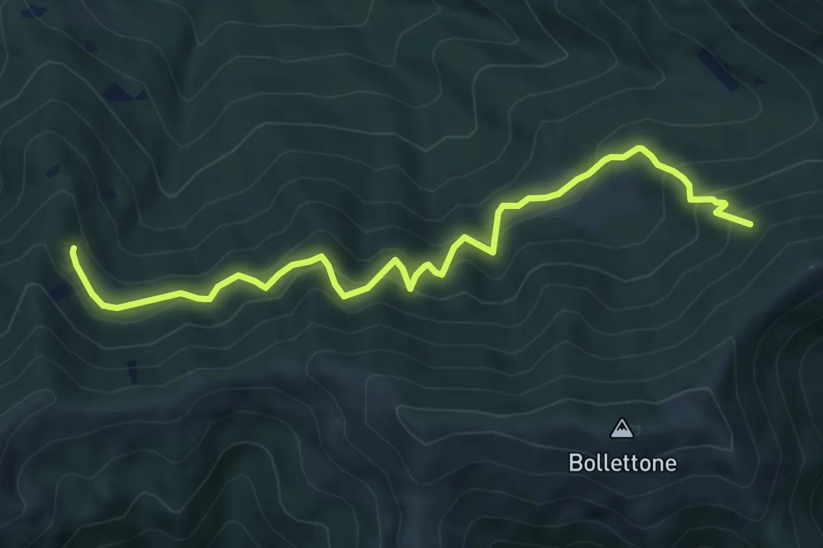
Expert · Trail
Pian Dürac (Faggeto Lario) – Innesto sentiero dei faggi
7.1 km · ↑ 617 m · 3 h · 6 km away
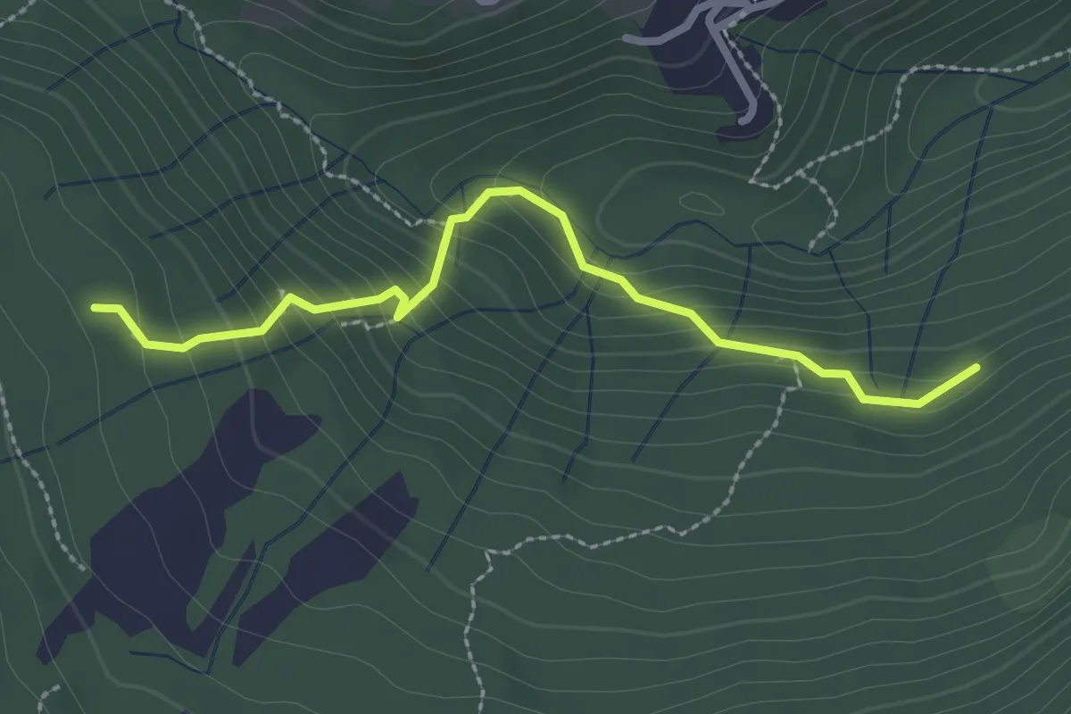
Medium · Trail
Funghi e boschi di Rezzago – Selva di Rezzago
2.6 km · ↑ 216 m · 1 h 5 min · 6 km away