Trails near Este
41 hikes starting within 15 km, nearest first.
Nearest first
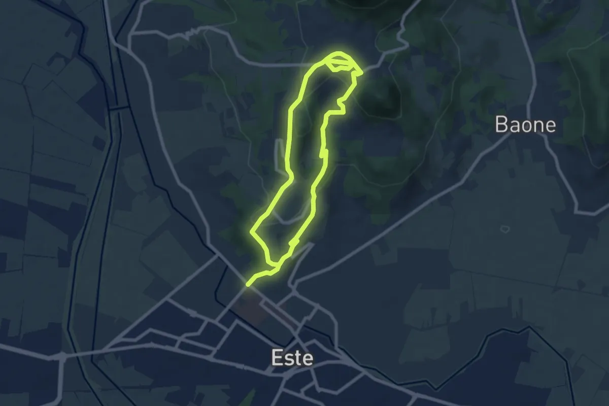
Easy · Summit
Sentiero del Principe
6.3 km · ↑ 190 m · 1 h 59 min · 1 km away
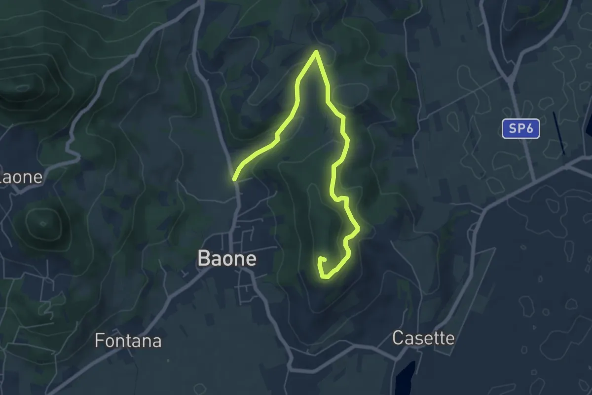
Easy · Summit
Sentiero del Monte Cecilia
6.9 km · ↑ 222 m · 2 h 6 min · 4 km away
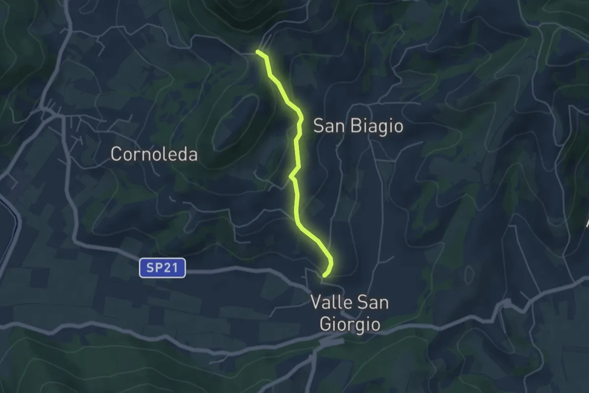
Easy · Trail
Allacciante "F" da Valle San Giorgio
3.8 km · ↑ 159 m · 1 h 14 min · 5 km away
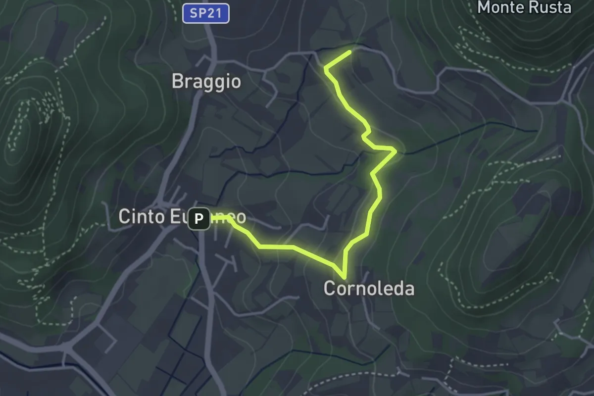
Easy · Trail
Allacciante "G" da Cinto Euganeo
3.6 km · ↑ 127 m · 1 h 8 min · 6 km away
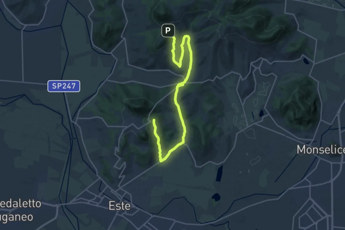
Demanding · Summit
Percorso delle Fontane
19.2 km · ↑ 461 m · 5 h 33 min · 6 km away
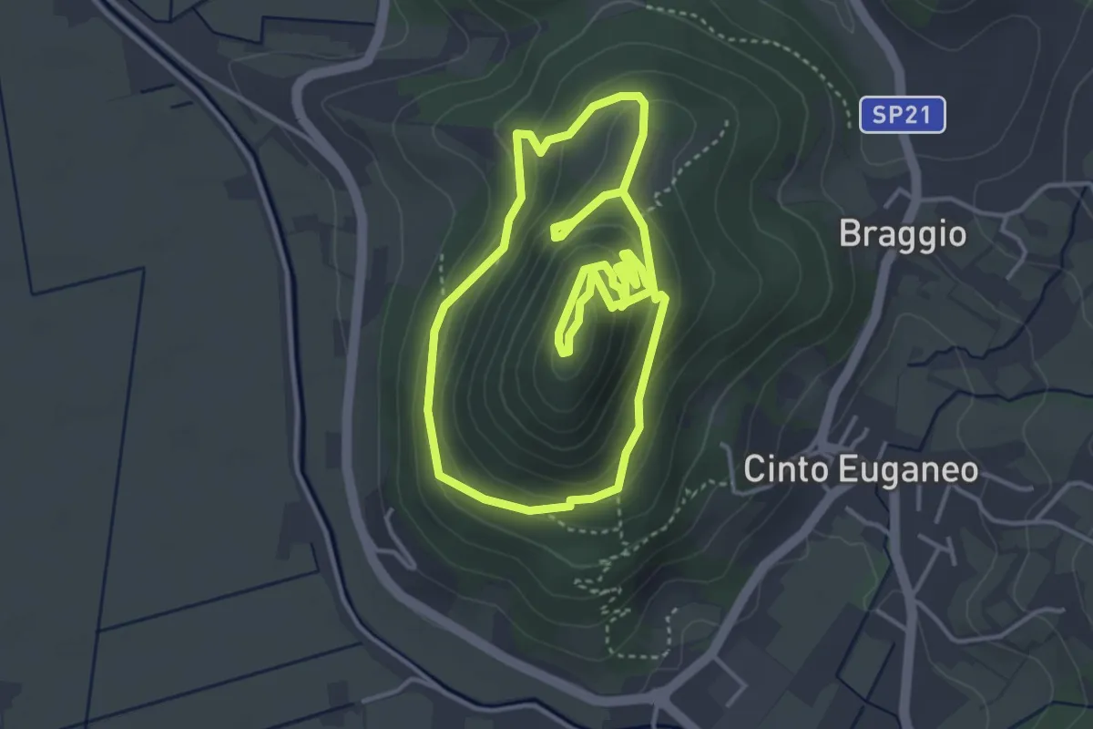
Medium · Summit
Sentiero del Monte Cinto
3.9 km · ↑ 206 m · 1 h 26 min · 6 km away
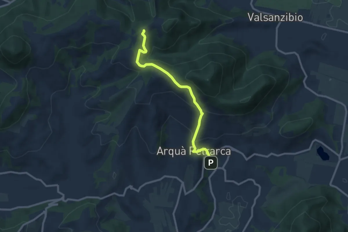
Medium · Trail
Allacciante "E" da Arquà
6.6 km · ↑ 358 m · 2 h 21 min · 7 km away
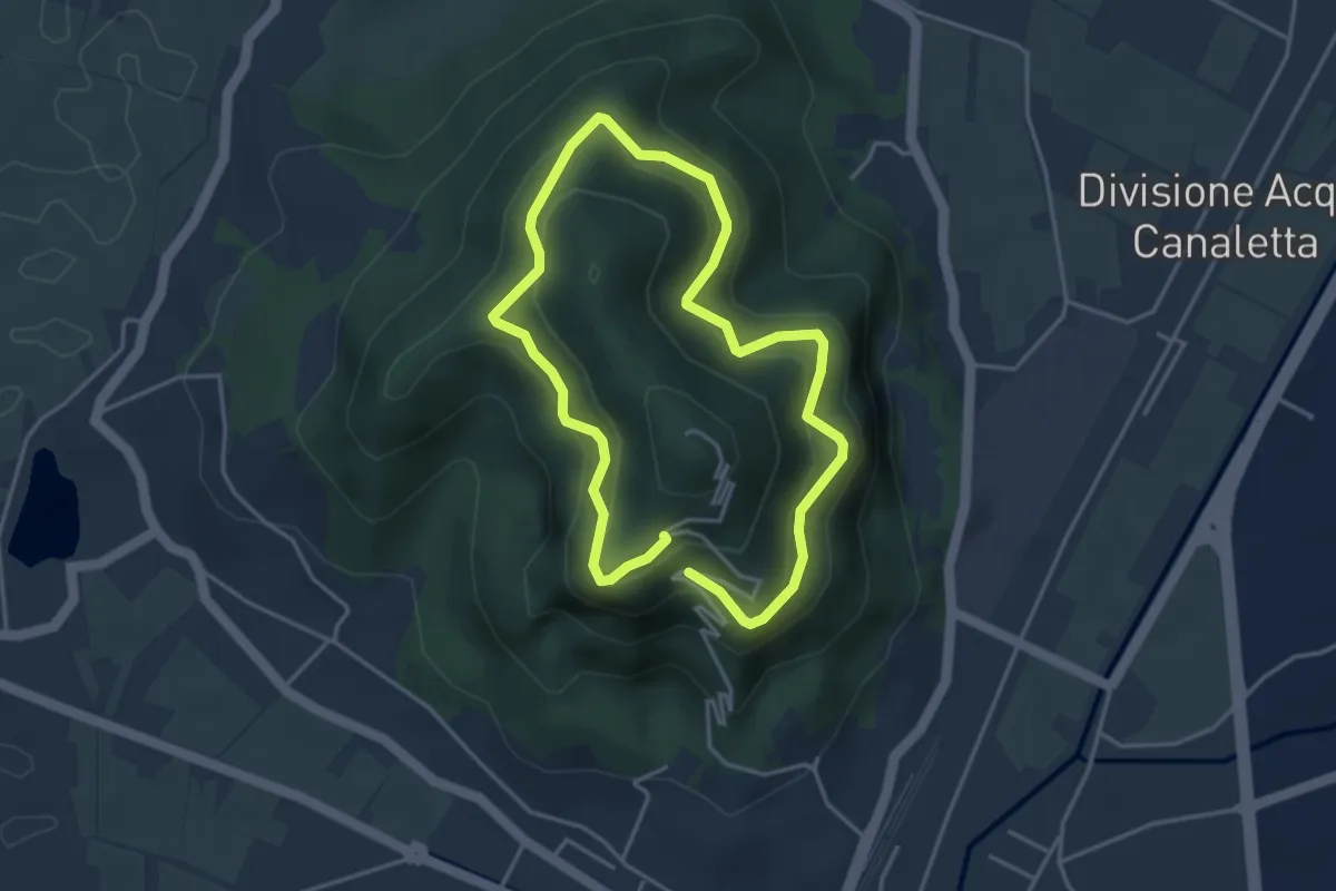
Easy · Summit
Sentiero 6 del Monte Ricco e del Monte Castello
3.5 km · ↑ 256 m · 1 h 27 min · 7 km away
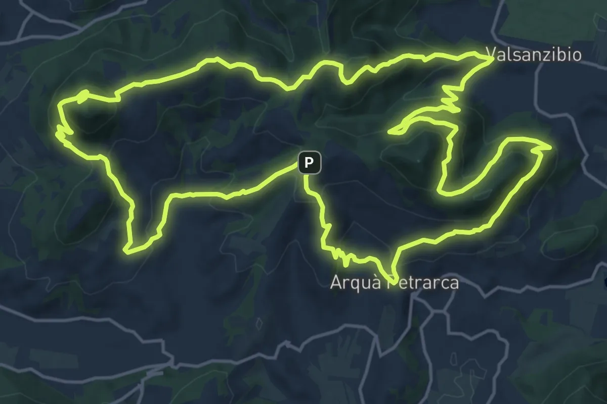
Demanding · Summit
Sentiero Atestino
18.6 km · ↑ 986 m · 6 h 47 min · 7 km away
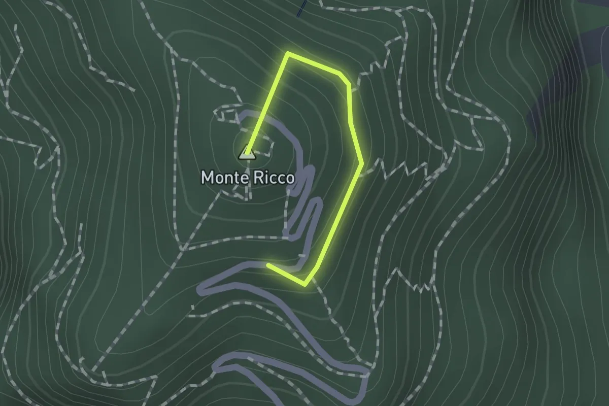
Easy · Summit
Raccordo
1.2 km · ↑ 84 m · 27 min · 7 km away
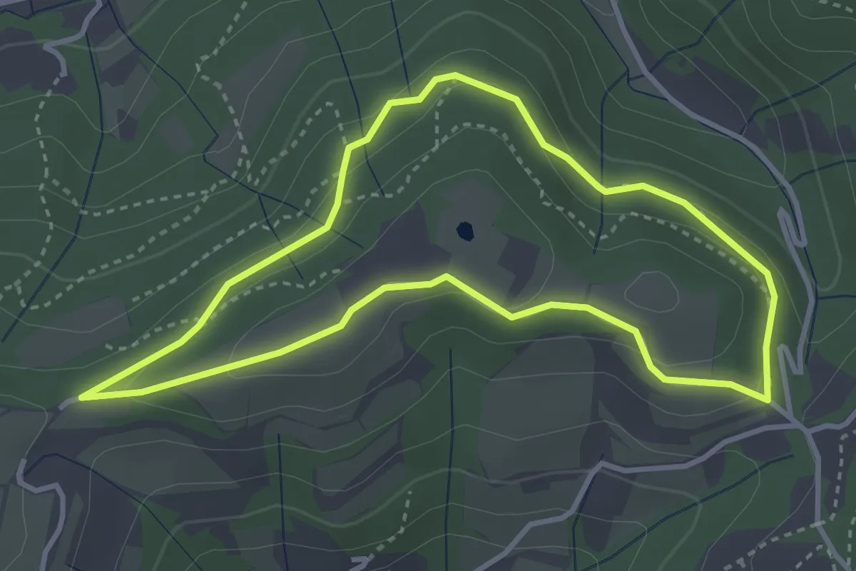
Easy · Trail
Sentiero del Monte Fasolo
3.3 km · ↑ 100 m · 1 h 3 min · 8 km away
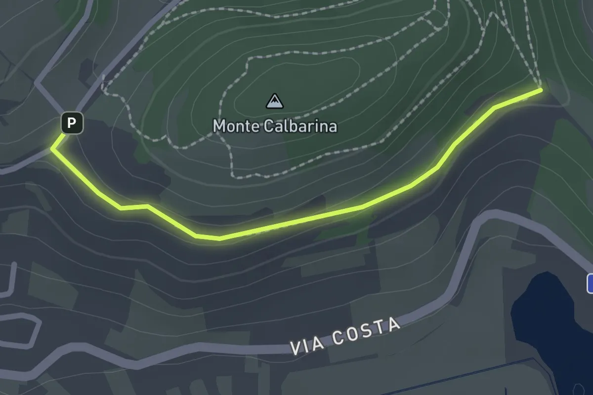
Easy · Trail
Raccordo
2.0 km · ↑ 34 m · 33 min · 8 km away
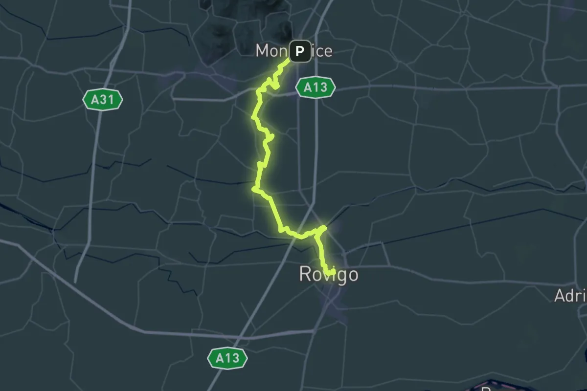
Demanding · Pilgrim path
Il Cammino di Sant'Antonio: Tappa 3
33.9 km · ↑ 17 m · 8 h 32 min · 8 km away
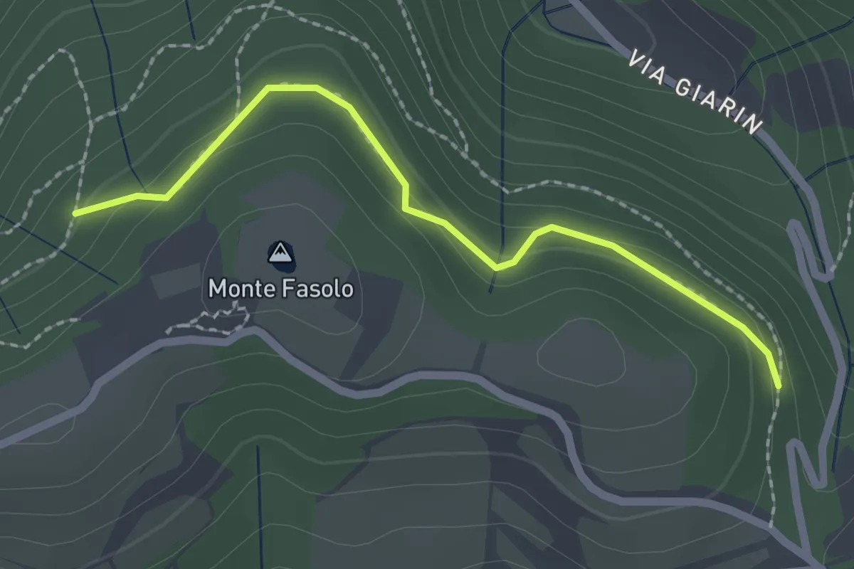
Easy · Summit
Località Sant' Antonio Cinto Euganeo – Località Sant' Antonio Cinto Euganeo
1.1 km · ↑ 44 m · 21 min · 8 km away
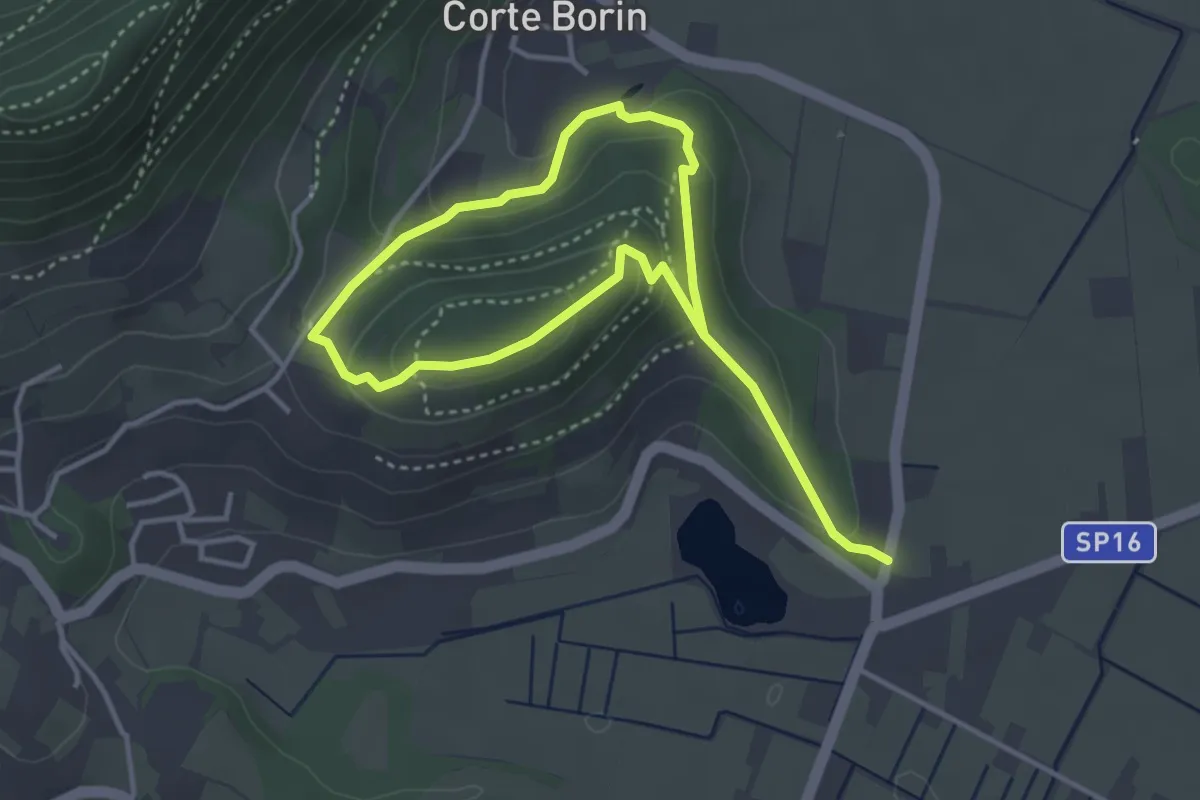
Medium · Summit
Sentiero del Monte Calbarina e Monte Piccolo
2.9 km · ↑ 161 m · 1 h 3 min · 9 km away
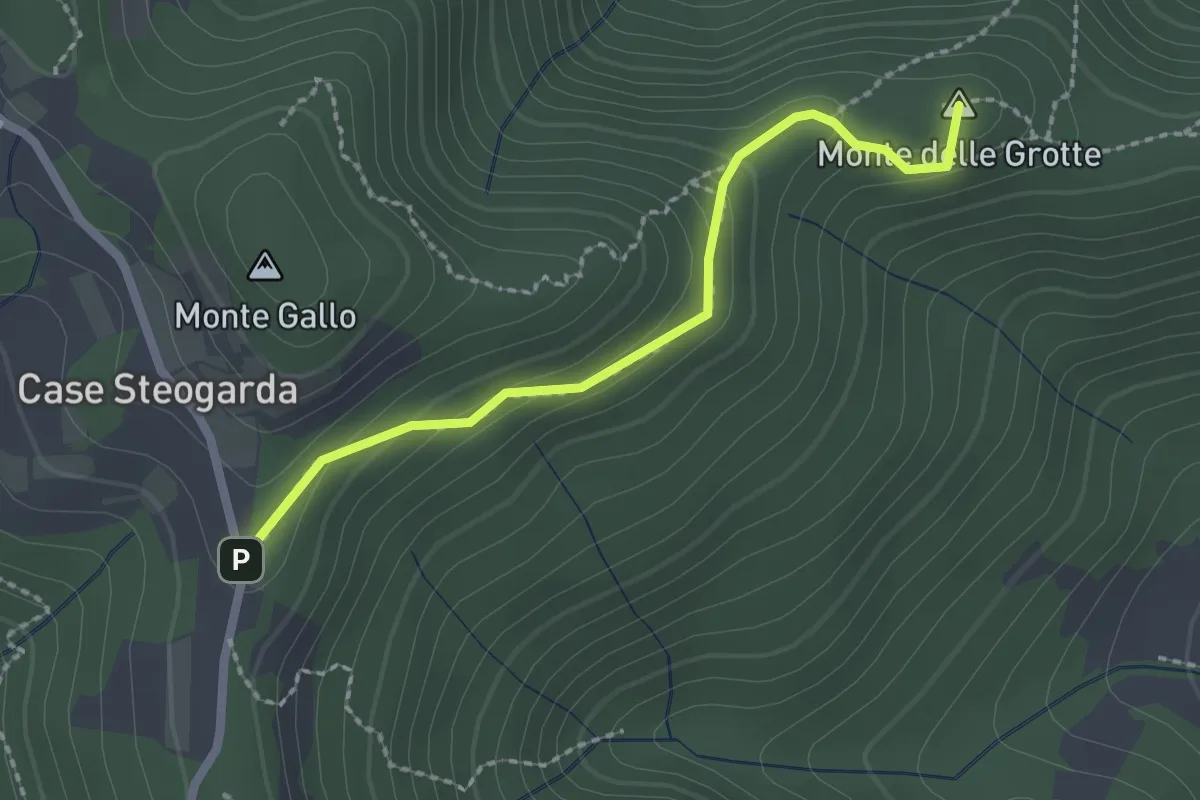
Medium · Summit
Sentiero del Monte Gallo Monte delle Grotte e Monte delle Basse
2.1 km · ↑ 128 m · 47 min · 9 km away
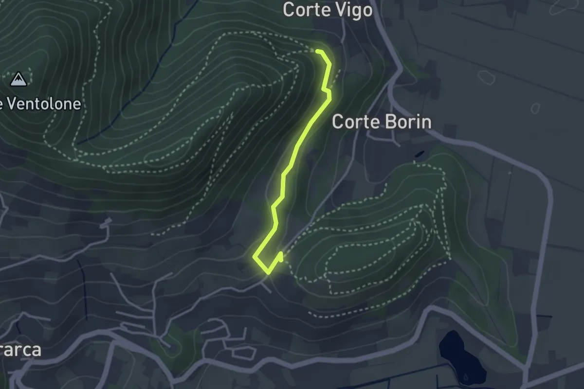
Medium · Trail
Sentiero del Monte Piccolo
2.5 km · ↑ 67 m · 44 min · 9 km away
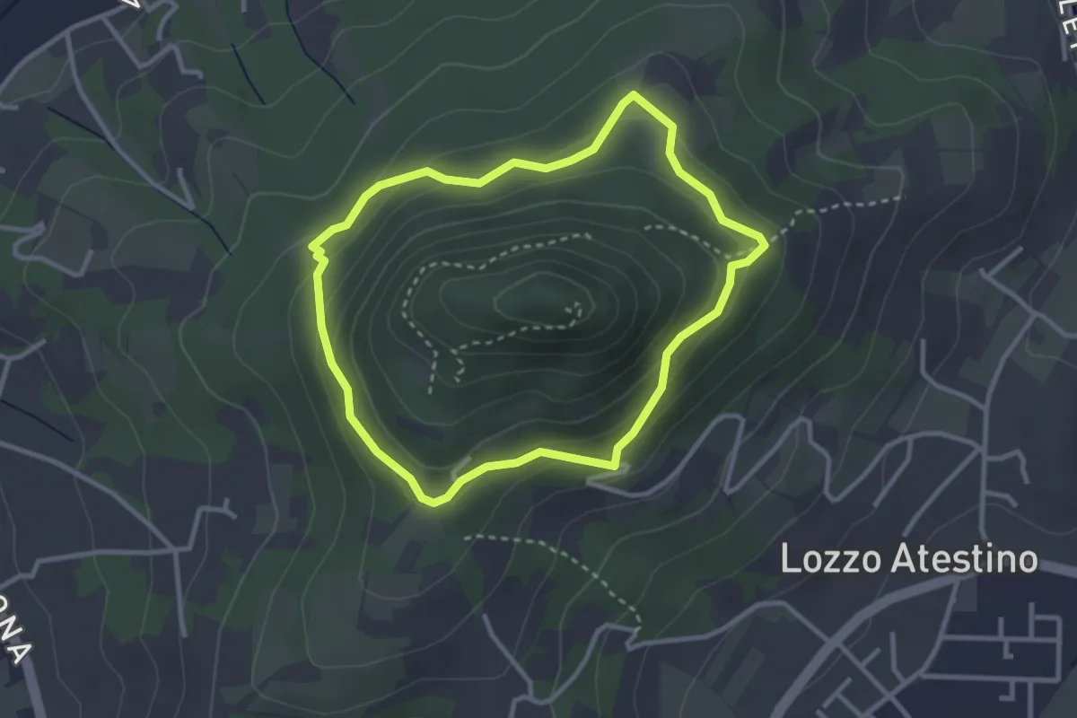
Easy · Trail
Sentiero del Monte Lozzo
2.8 km · ↑ 154 m · 1 h 2 min · 9 km away
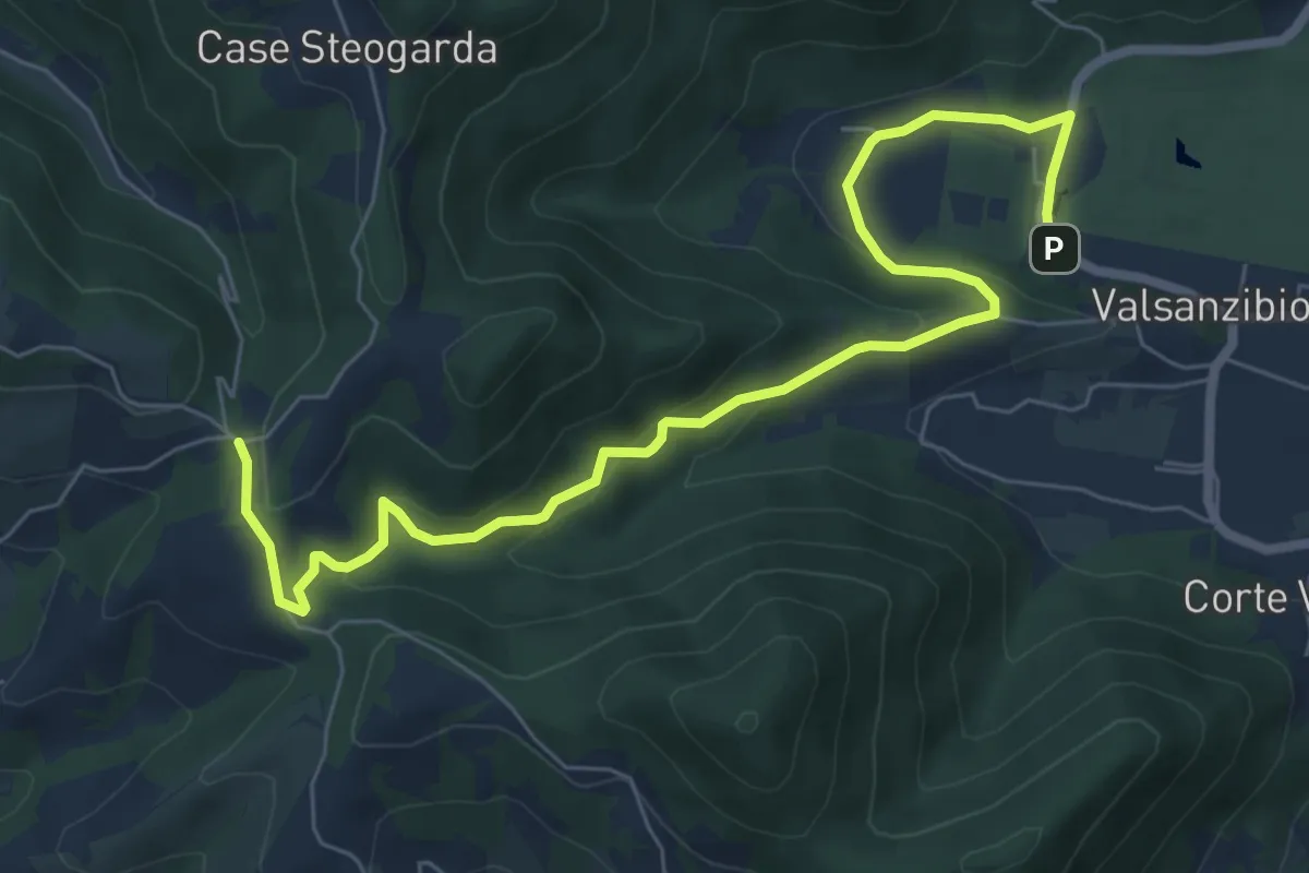
Medium · Trail
Valsanzibio – Via Scalette
8.4 km · ↑ 272 m · 2 h 34 min · 9 km away
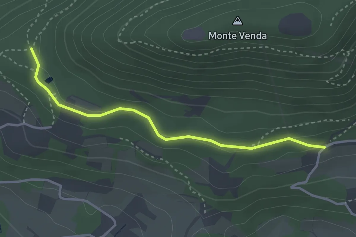
Easy · Trail
Percorso alternativo "Q"
2.9 km · ↑ 79 m · 51 min · 10 km away
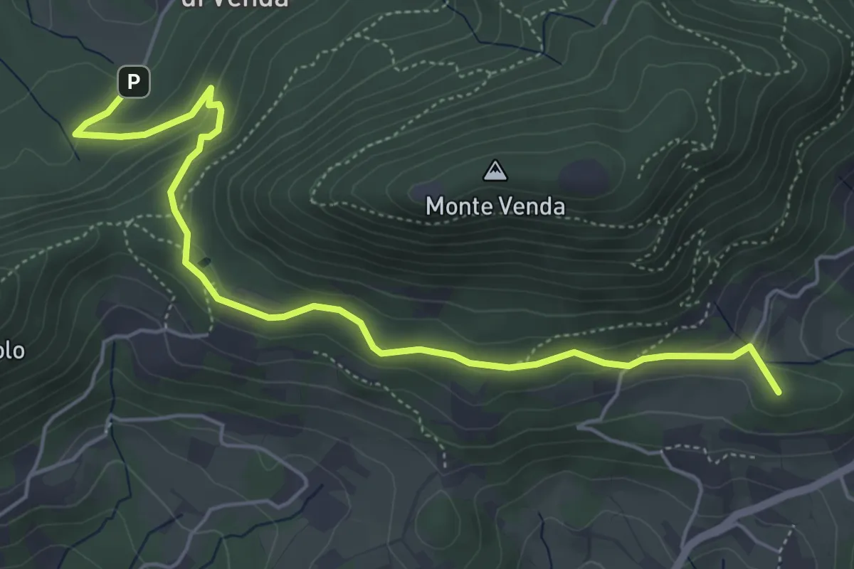
Medium · Summit
Sentiero del Monte Venda
6.0 km · ↑ 205 m · 1 h 51 min · 10 km away
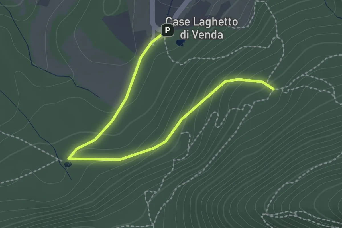
Easy · Trail
Allacciante "H" da Case Laghetto del Venda
2.6 km · ↑ 111 m · 51 min · 11 km away
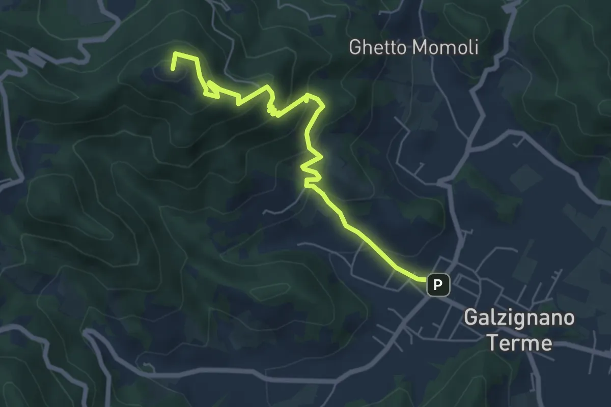
Medium · Summit
Allacciante "C" da Galzignano
5.9 km · ↑ 368 m · 2 h 11 min · 11 km away
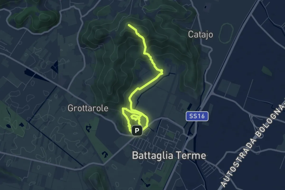
Expert · Summit
Sentiero Cava Monte Croce Sentiero delle Creste
9.6 km · ↑ 431 m · 3 h 12 min · 12 km away
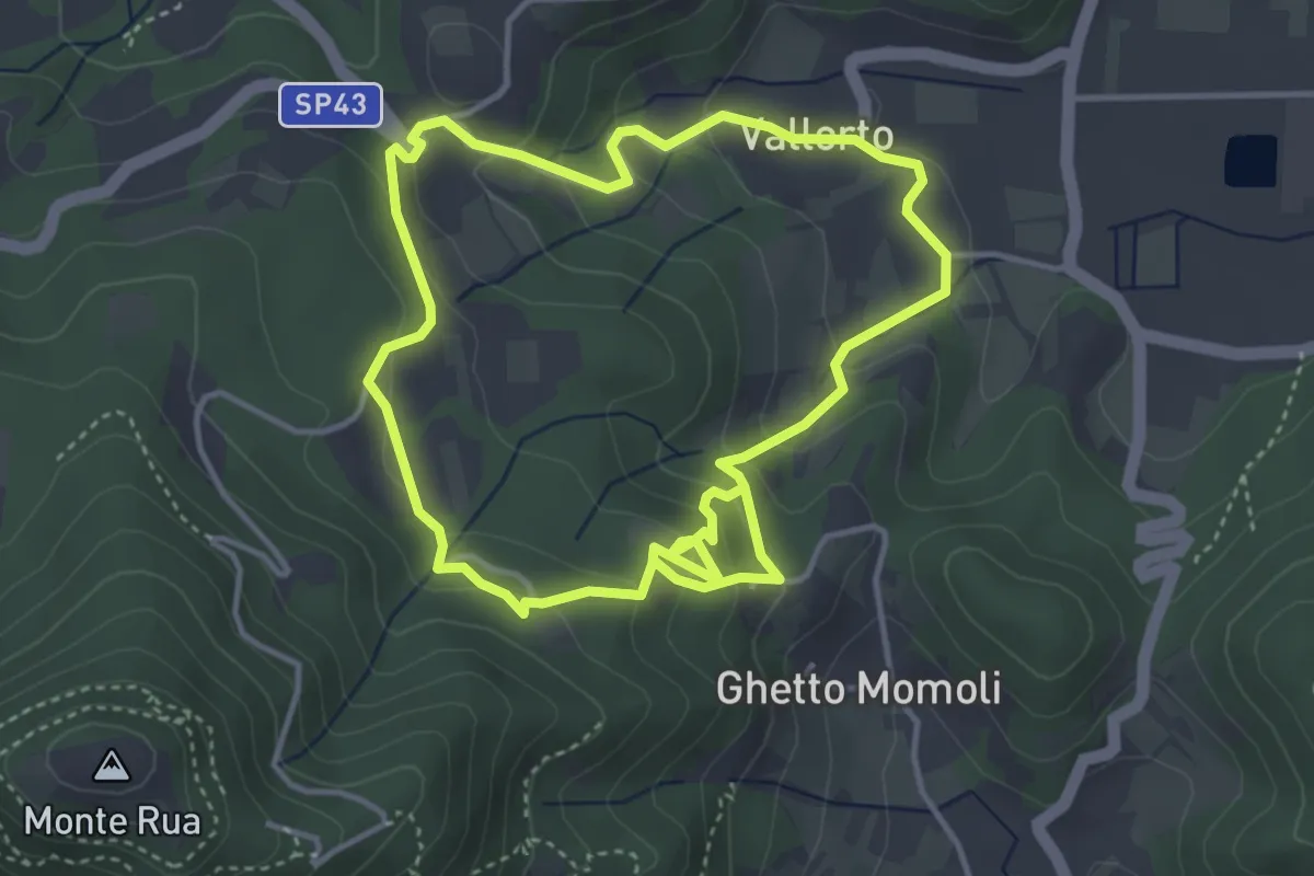
Medium · Trail
Percorso storico naturalistico del Roccolo Bonato
8.0 km · ↑ 383 m · 2 h 43 min · 12 km away
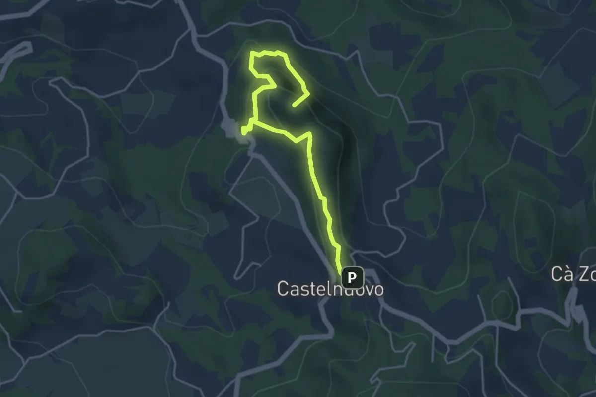
Medium · Summit
I sentieri di Rocca Pendice
4.3 km · ↑ 278 m · 1 h 36 min · 12 km away
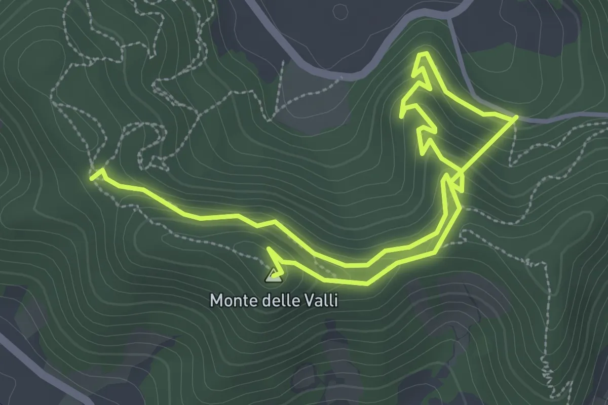
Easy · Summit
Sentiero Monte delle Valli
5.4 km · ↑ 308 m · 1 h 56 min · 12 km away
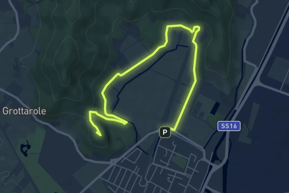
Medium · Summit
Sentiero Ferro di Cavallo
7.6 km · ↑ 168 m · 2 h 10 min · 12 km away
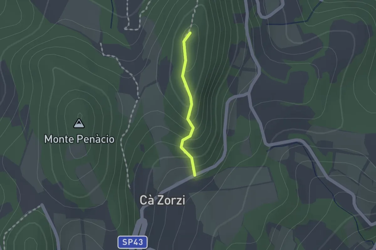
Medium · Summit
Sentiero Naturalistico dei Colli Euganei Centrali - variante 2A
0.9 km · ↑ 74 m · 23 min · 12 km away
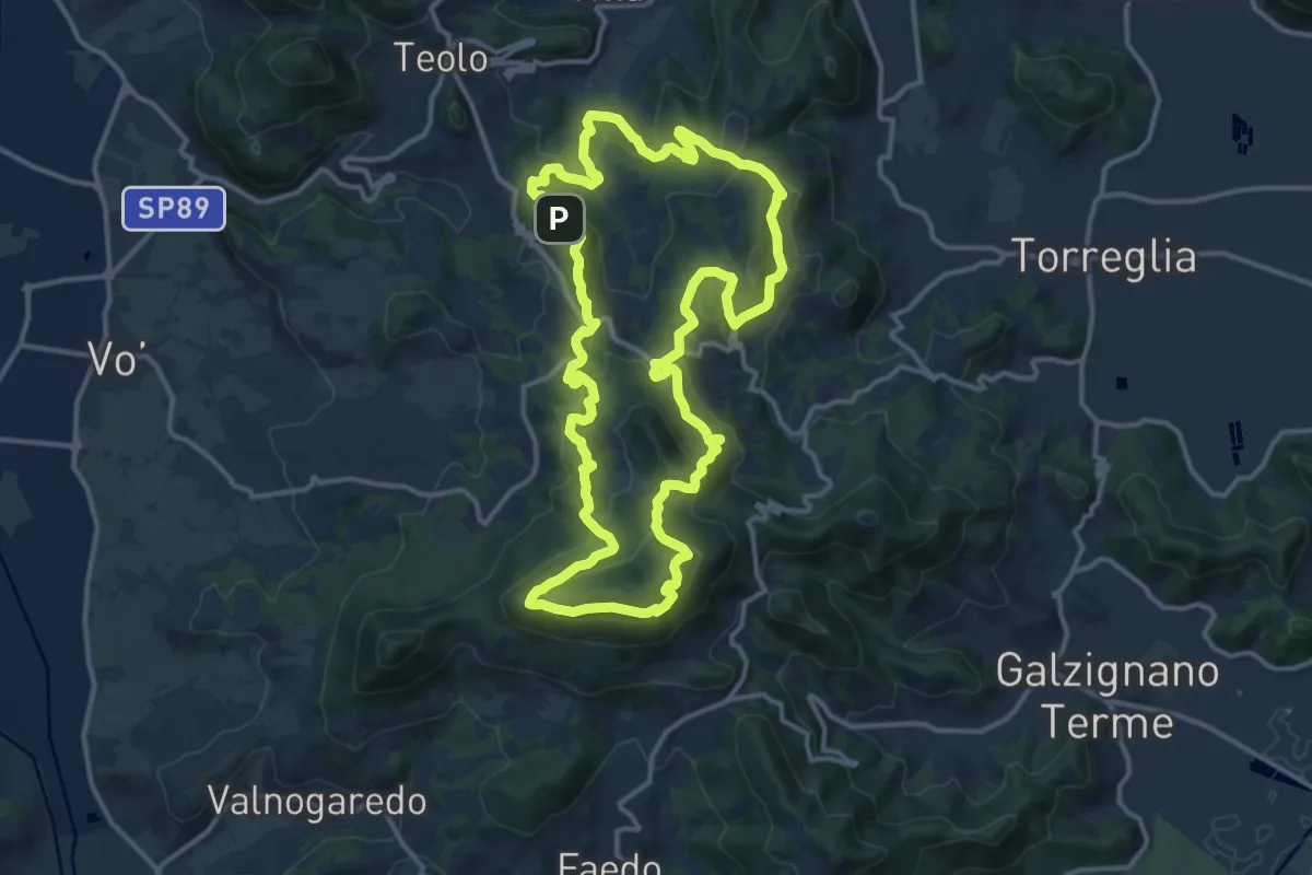
Demanding · Summit
Sentiero Naturalistico dei Colli Euganei Centrali
14.5 km · ↑ 776 m · 5 h 19 min · 13 km away
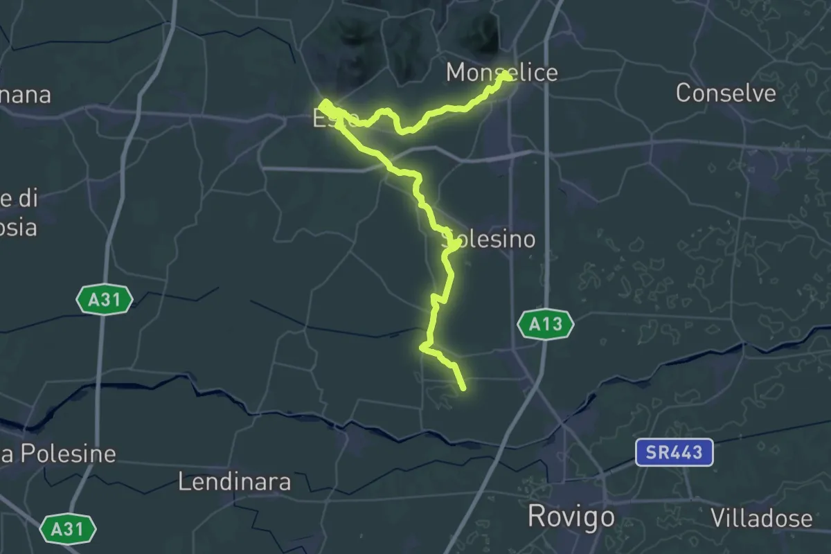
Demanding · Pilgrim path
Il Cammino di Sant'Antonio: Tappa 2A
30.1 km · ↑ 45 m · 7 h 37 min · 13 km away
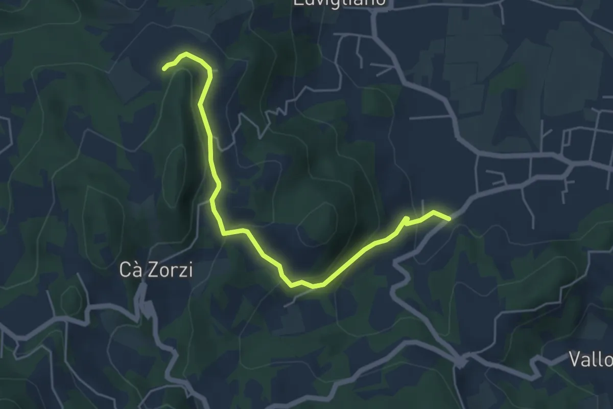
Easy · Trail
Allacciante "B" da Torreglia
4.8 km · ↑ 223 m · 1 h 37 min · 13 km away
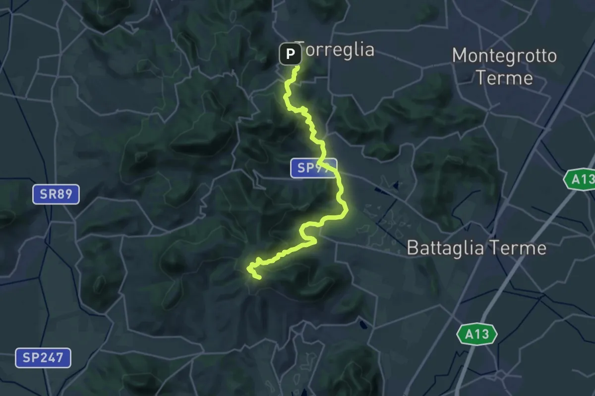
Medium · Summit
Il Cammino di Sant'Antonio: Tappa 2.2
10.9 km · ↑ 463 m · 3 h 36 min · 13 km away
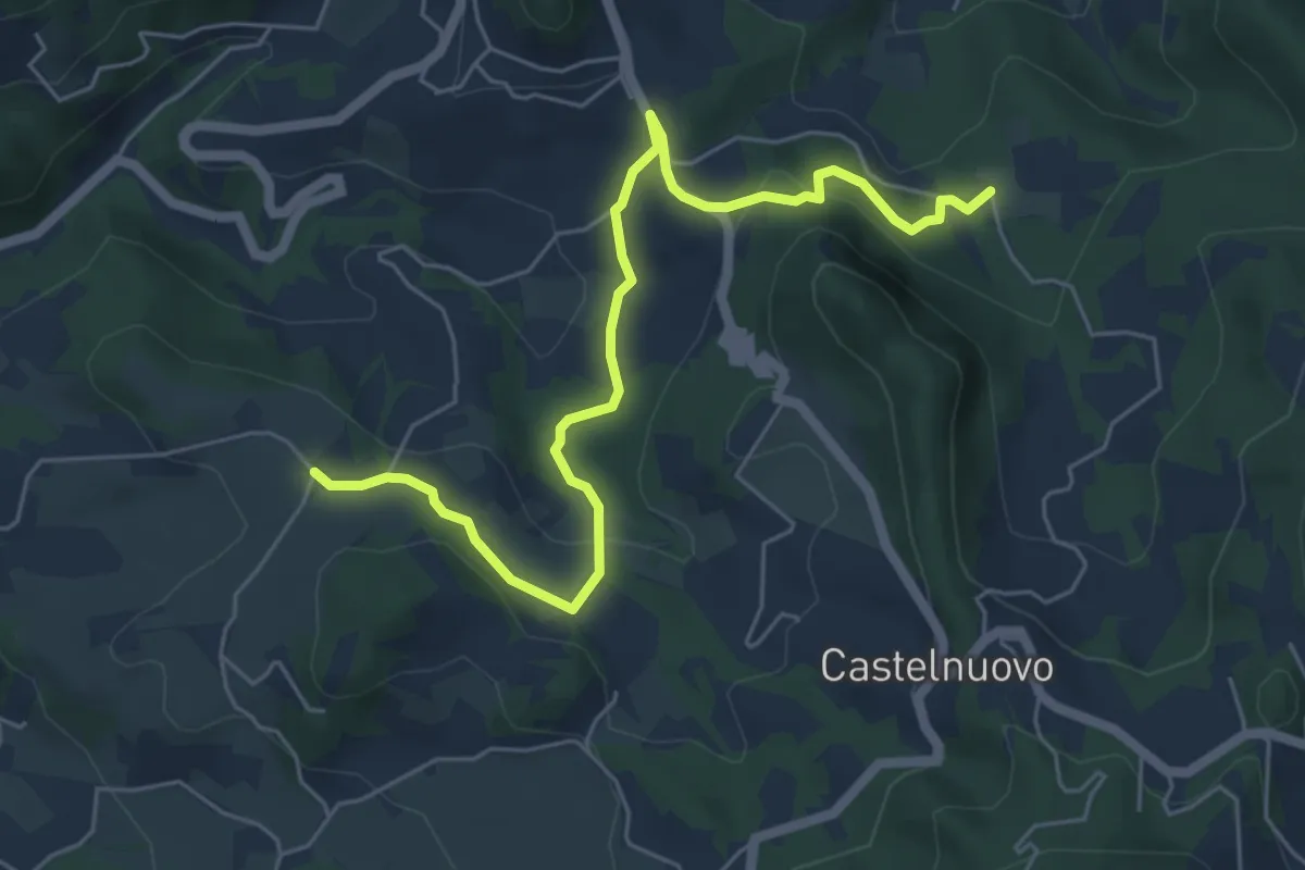
Medium · Trail
Percorso alternativo "P"
6.4 km · ↑ 234 m · 2 h 1 min · 13 km away
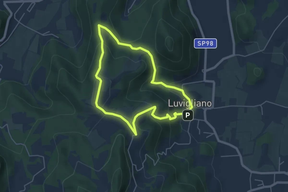
Easy · Trail
Antichi sentieri sopra Luvigliano
4.0 km · ↑ 233 m · 1 h 30 min · 14 km away
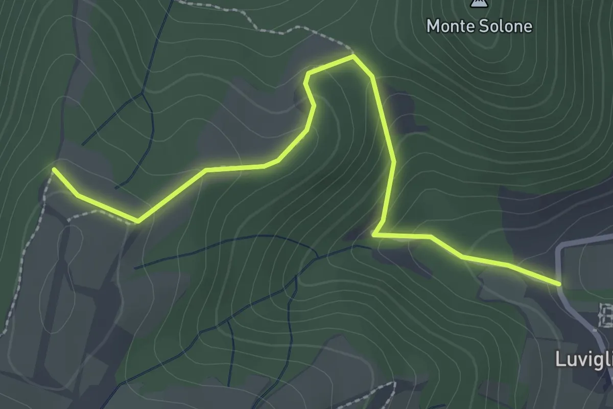
Easy · Trail
Allacciante "A" da Luvigliano
2.7 km · ↑ 161 m · 1 h · 14 km away
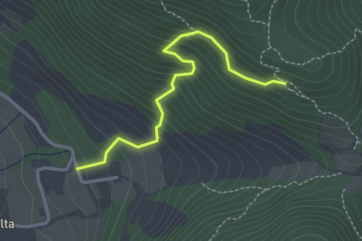
Medium · Trail
Allacciante "I" da Zovon
2.1 km · ↑ 261 m · 1 h 3 min · 14 km away
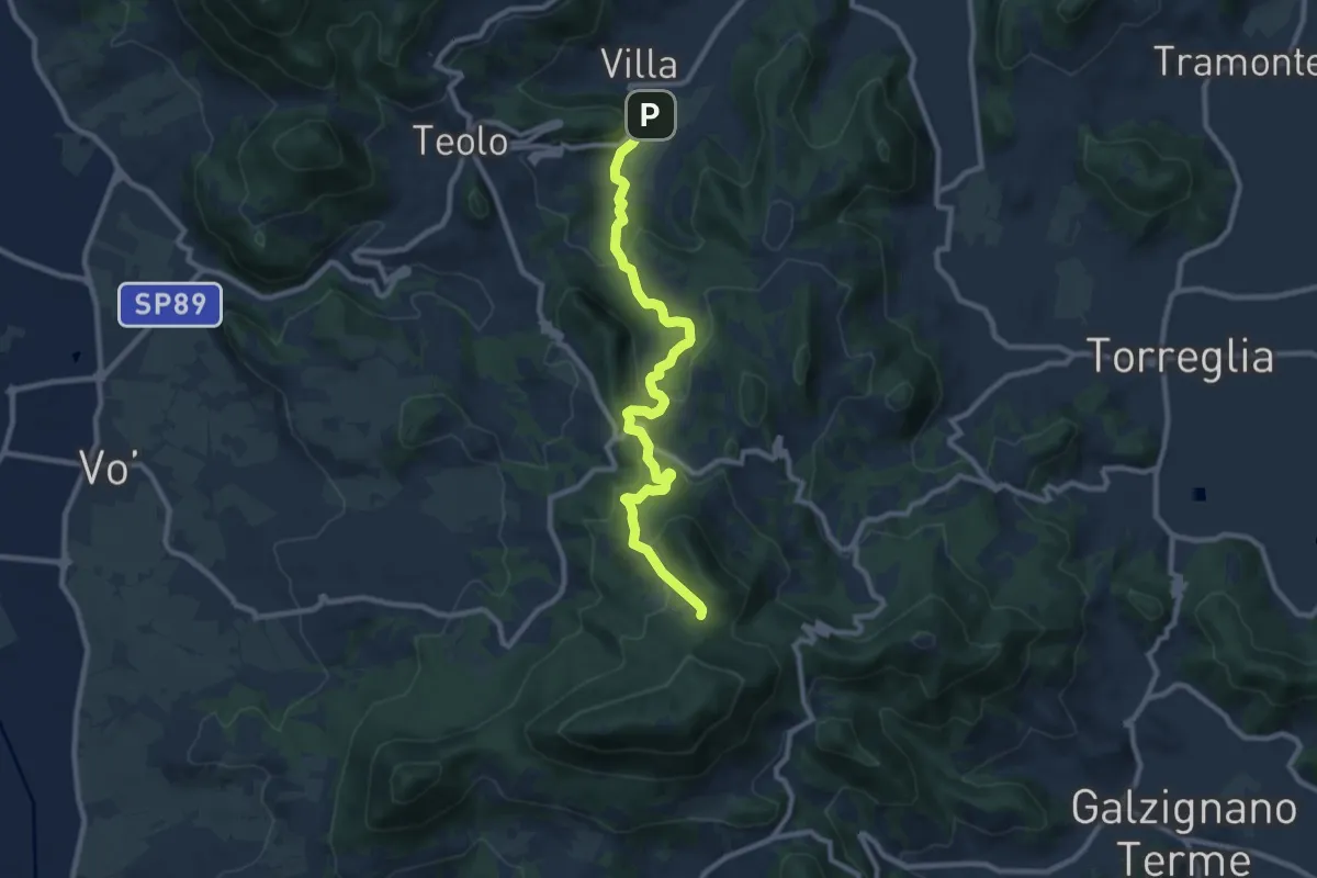
Medium · Trail
Percorso alternativo "N"
9.9 km · ↑ 495 m · 3 h 25 min · 14 km away
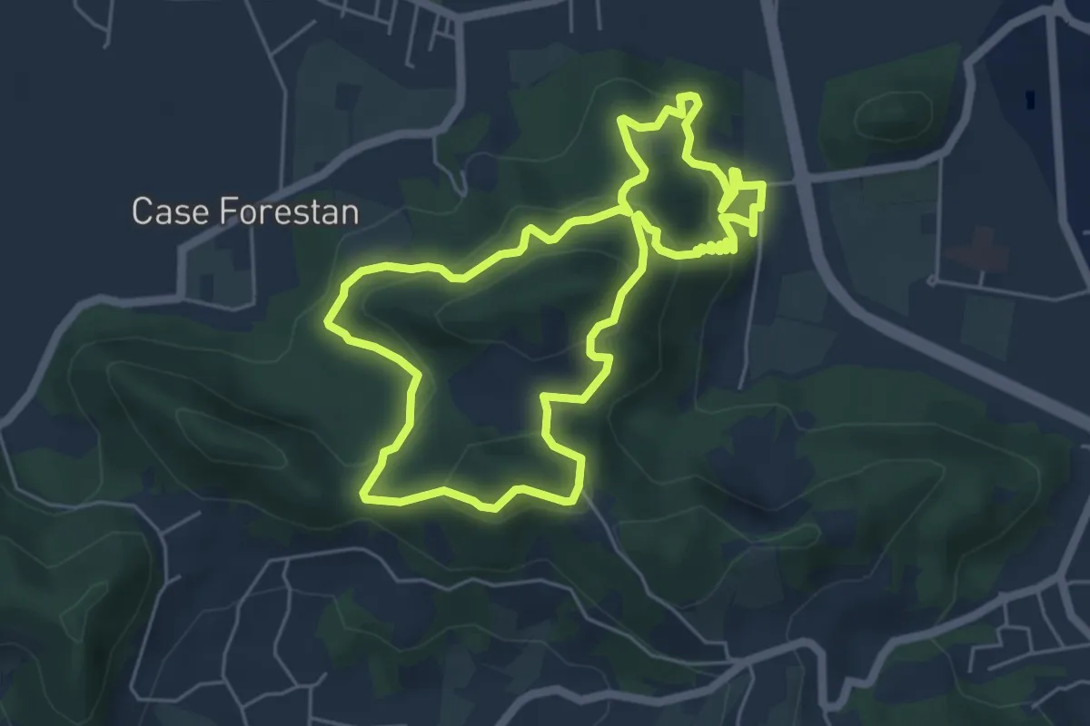
Easy · Summit
Sentiero Villa Draghi
5.4 km · ↑ 319 m · 2 h 2 min · 14 km away
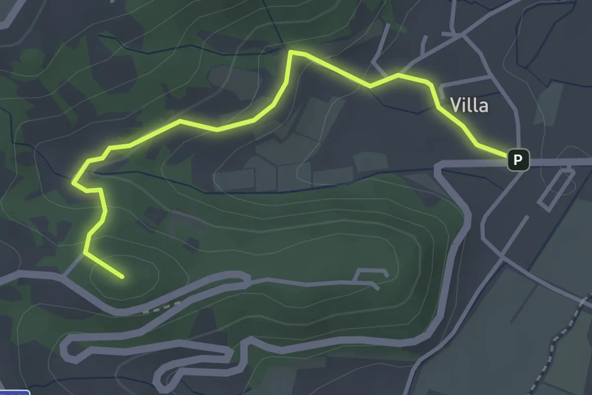
Demanding · Summit
Percorso alternativo "O"
3.3 km · ↑ 149 m · 1 h 6 min · 14 km away
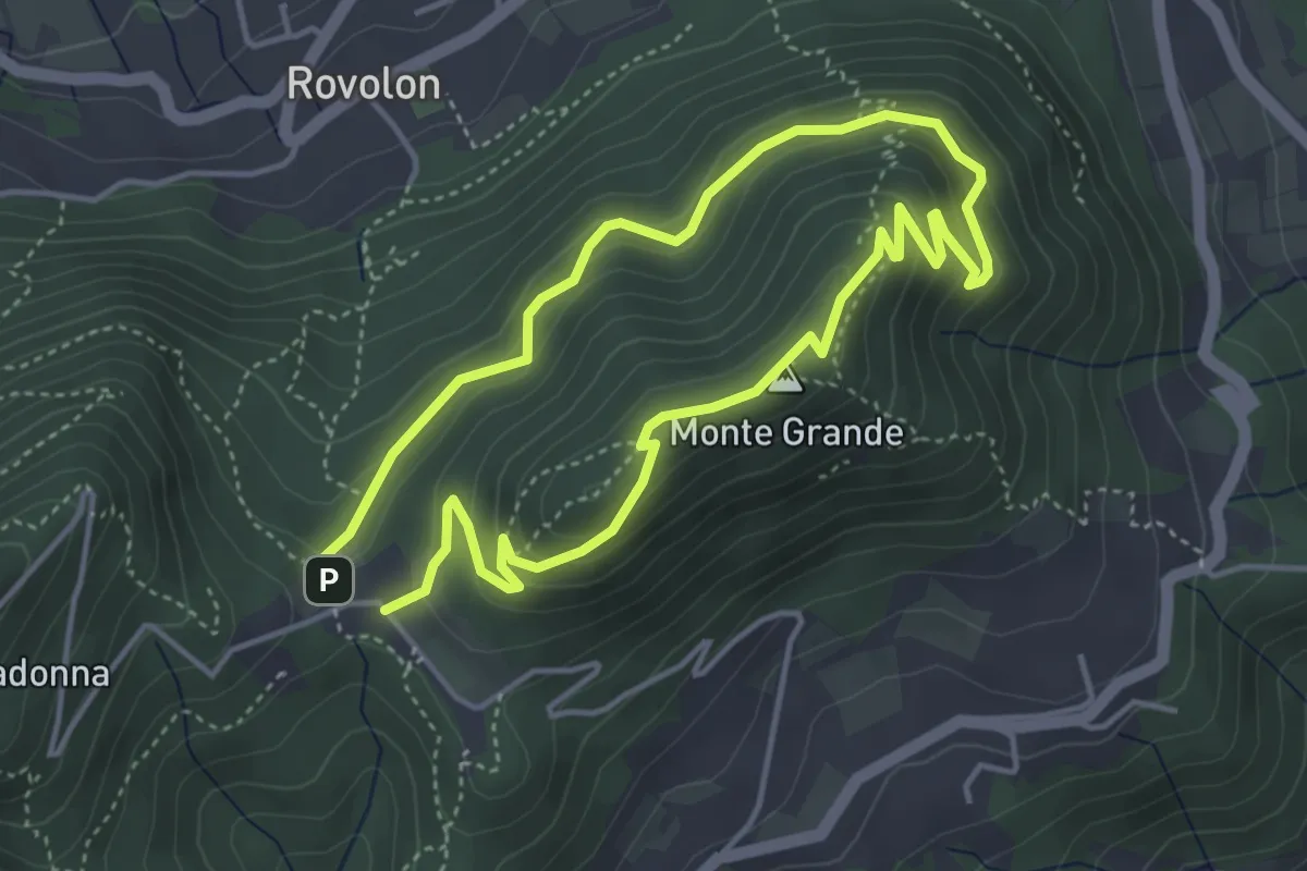
Easy · Summit
Sentiero del Monte Grande
3.8 km · ↑ 215 m · 1 h 25 min · 15 km away