Trails near Fabriano
95 hikes starting within 15 km, nearest first.
Nearest first, page 1 of 2
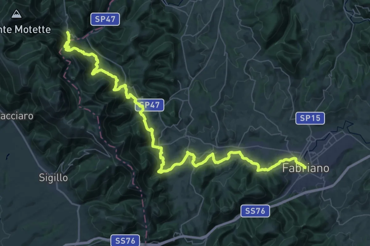
Demanding · Trail
Cammino dei Cappuccini - Tappa 5
25.0 km · ↑ 1052 m · 8 h 26 min · under 1 km away
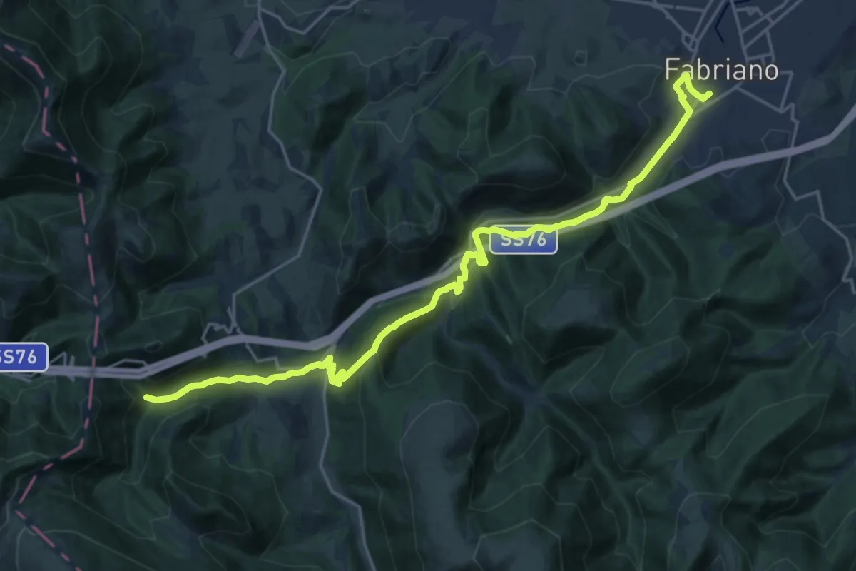
Demanding · Trail
Sentiero della Carta
23.5 km · ↑ 703 m · 7 h 5 min · under 1 km away
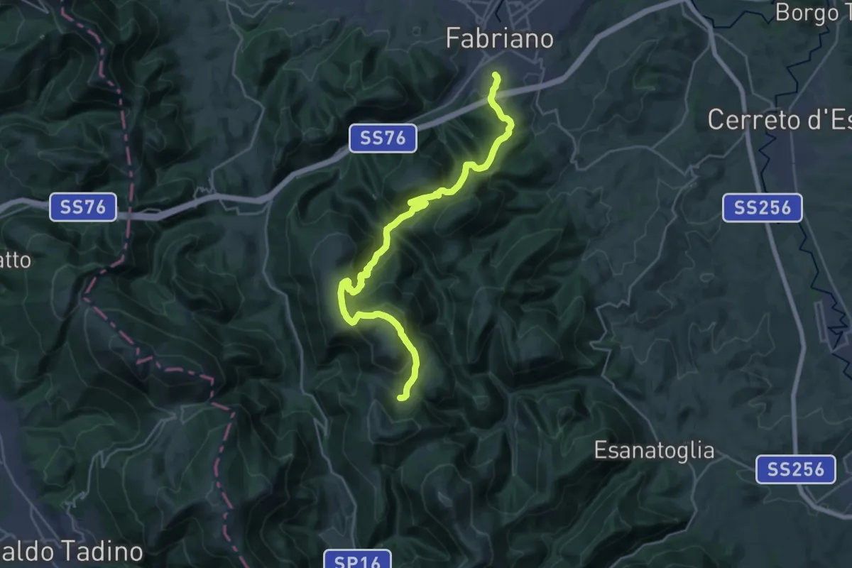
Demanding · Trail
Fabriano - Via Fagioli – Casa Lentino - Sentiero 119
12.9 km · ↑ 987 m · 5 h 7 min · 1 km away
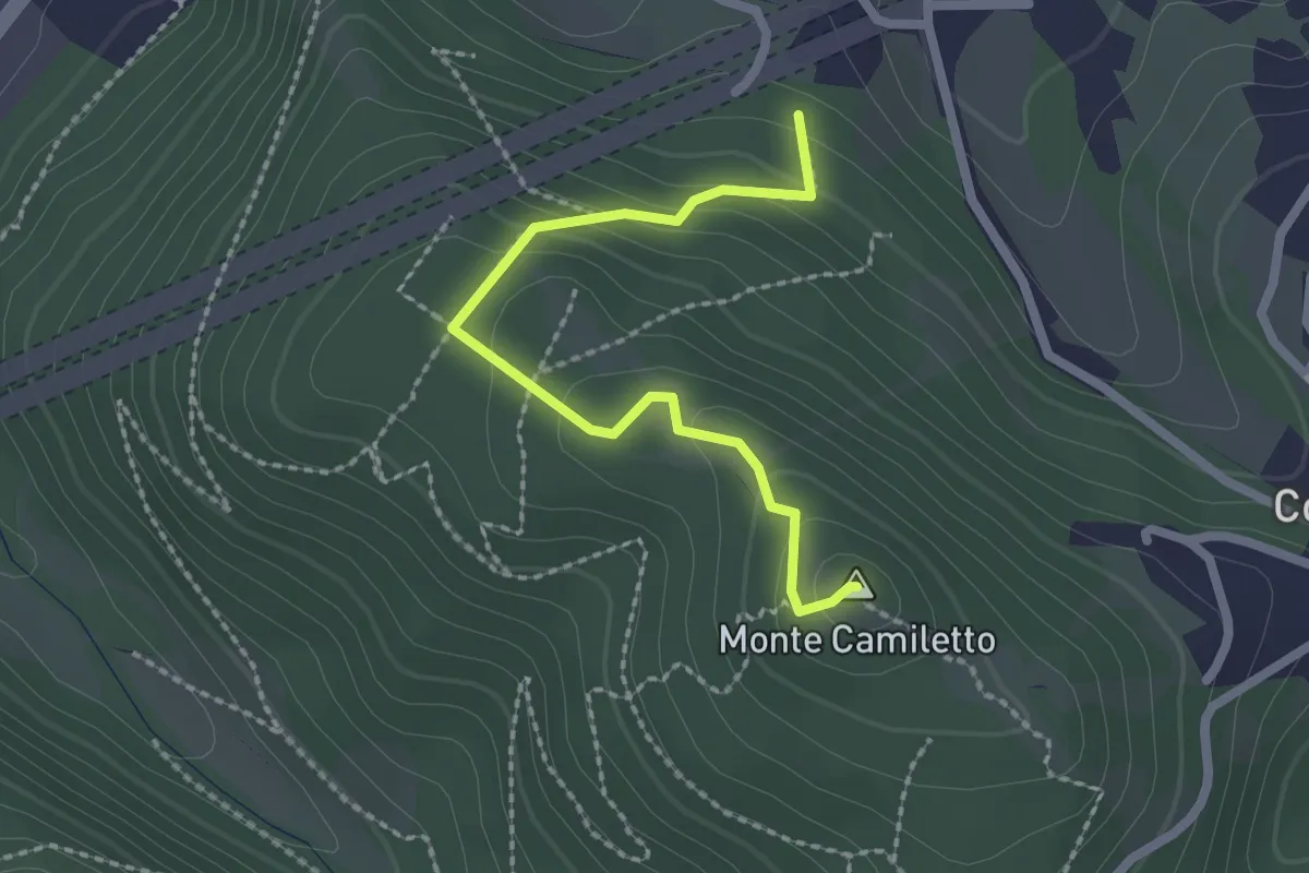
Medium · Summit
Sentiero delle vette dei Monticelli
2.3 km · ↑ 133 m · 50 min · 1 km away
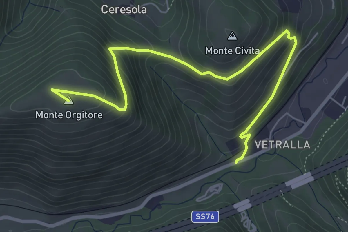
Medium · Summit
Sentiero Monte Orgitore - Varano
6.7 km · ↑ 407 m · 2 h 27 min · 2 km away
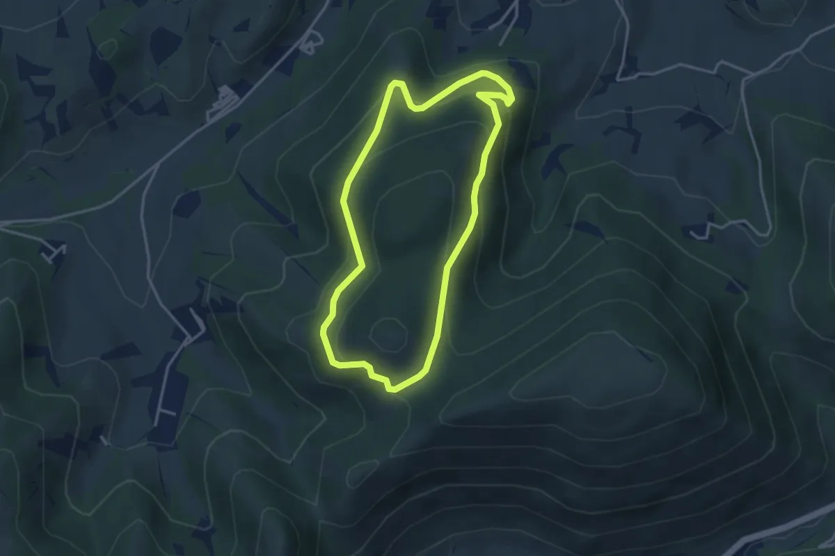
Medium · Summit
Anello della Pineta di Marischio
3.4 km · ↑ 193 m · 1 h 16 min · 3 km away
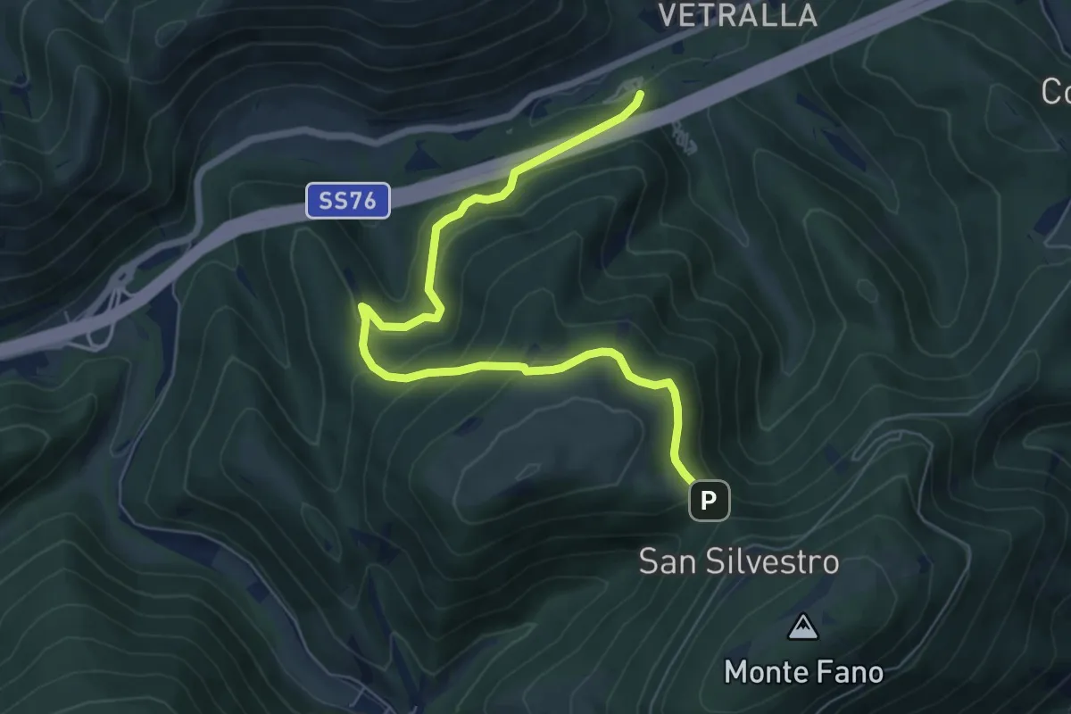
Medium · Trail
Sentiero Casa Malfaiera - Sella Monte Linatro
7.5 km · ↑ 441 m · 2 h 44 min · 4 km away
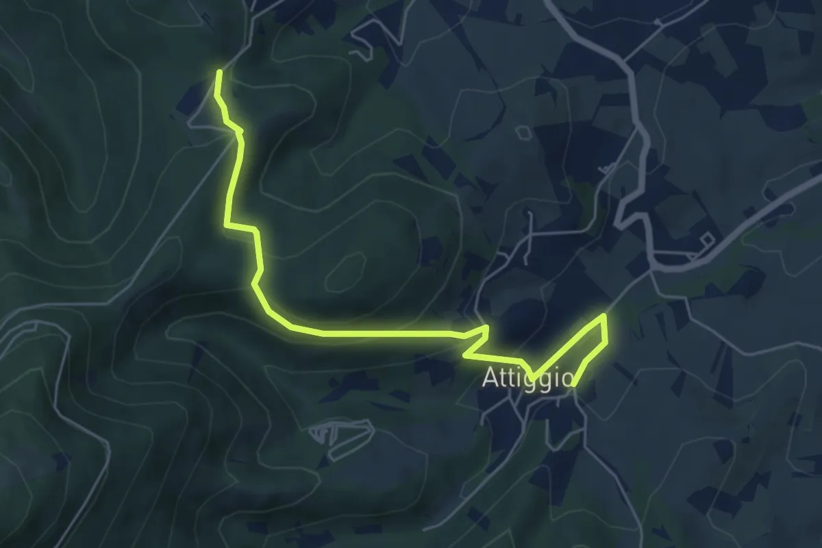
Medium · Trail
128A, Castiglioni – 100,100A, Collepaganello
5.9 km · ↑ 264 m · 1 h 59 min · 4 km away
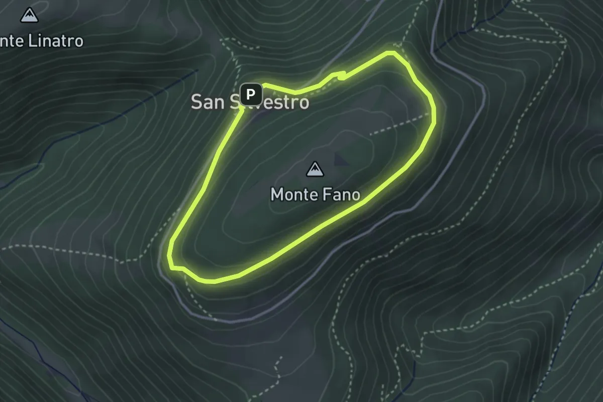
Medium · Trail
Anello di S. Silvestro (M. Fano)
3.0 km · ↑ 107 m · 59 min · 4 km away
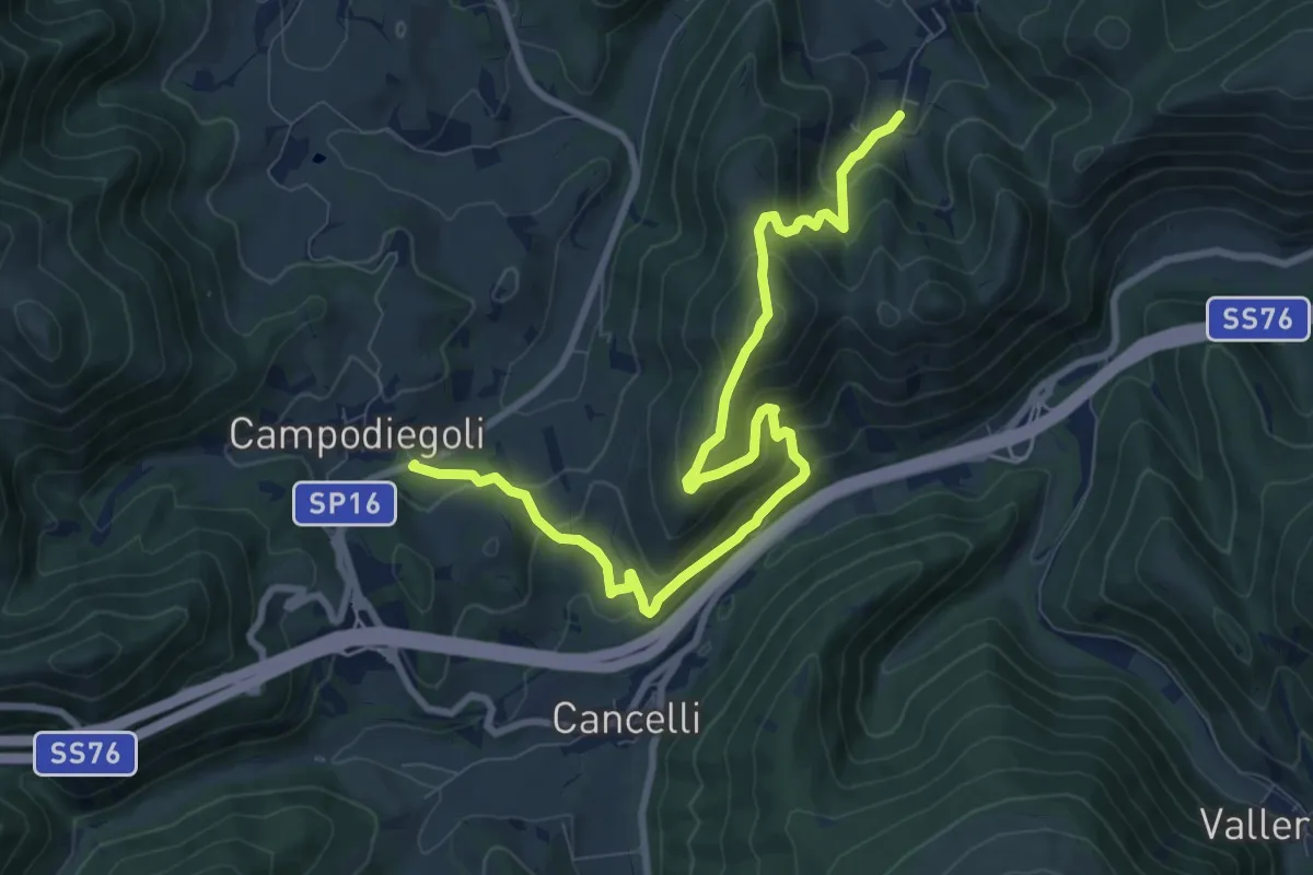
Medium · Summit
Varano – Campodiegoli
5.5 km · ↑ 389 m · 2 h 12 min · 4 km away
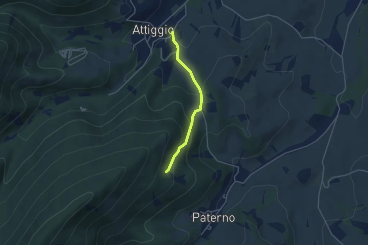
Medium · Trail
Castiglioni – Sentiero 128
2.8 km · ↑ 178 m · 1 h 3 min · 5 km away
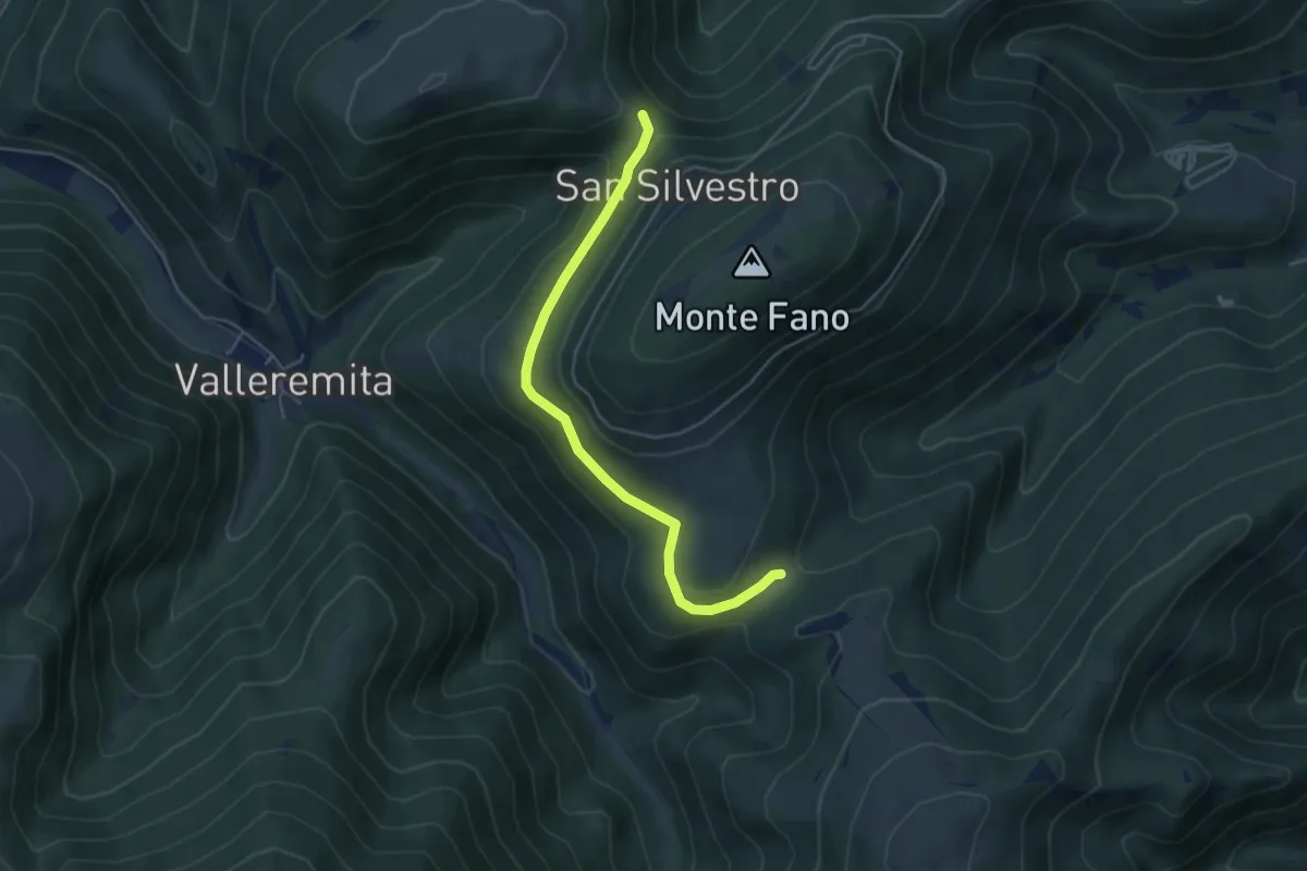
Easy · Trail
Valico M. Linatro, Pratelle – 100A, sella di Capretta
4.8 km · ↑ 107 m · 1 h 22 min · 5 km away
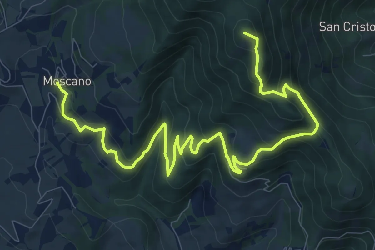
Medium · Summit
Moscano – incrocio con CAI 146A
12.8 km · ↑ 638 m · 4 h 24 min · 5 km away
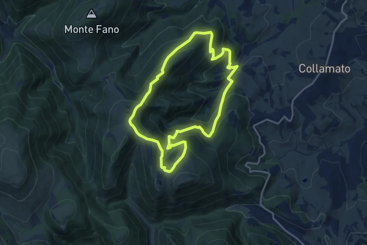
Medium · Trail
Paterno – Paterno
9.5 km · ↑ 617 m · 3 h 42 min · 6 km away
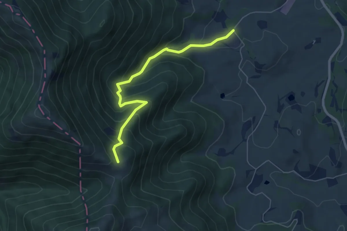
Demanding · Trail
Tenuta San Cassiano – Passo Chiaromonte
5.6 km · ↑ 456 m · 2 h 19 min · 7 km away
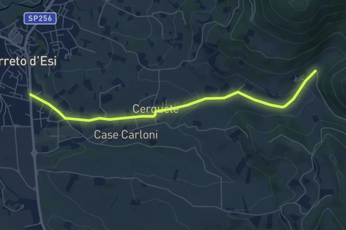
Easy · Trail
Villa Le Macere - Sentiero 113 – Cerreto D'Esi
6.8 km · ↑ 132 m · 1 h 54 min · 7 km away
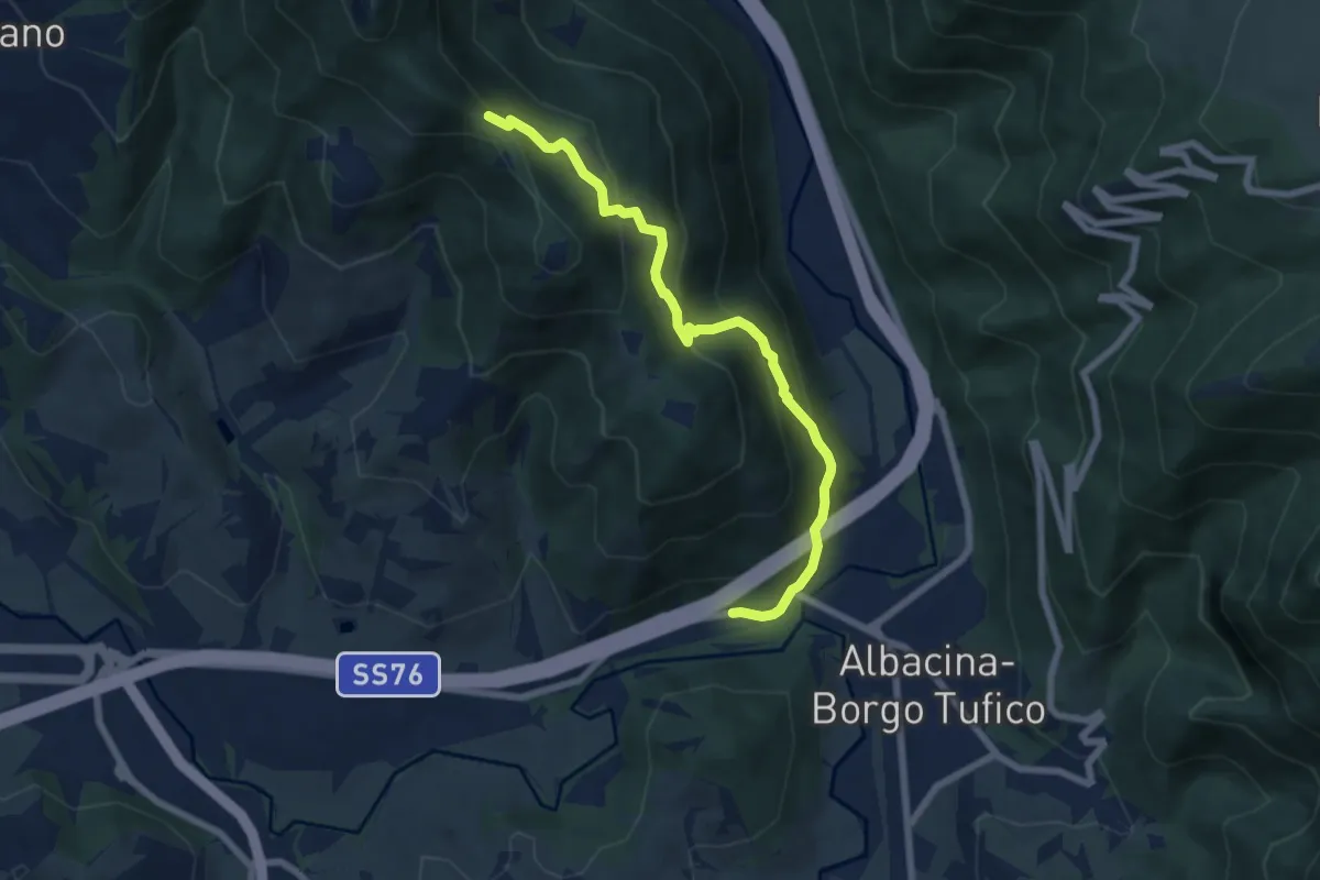
Medium · Trail
Sentiero 147A – Borgo Tufico - SP76
7.2 km · ↑ 503 m · 2 h 48 min · 7 km away
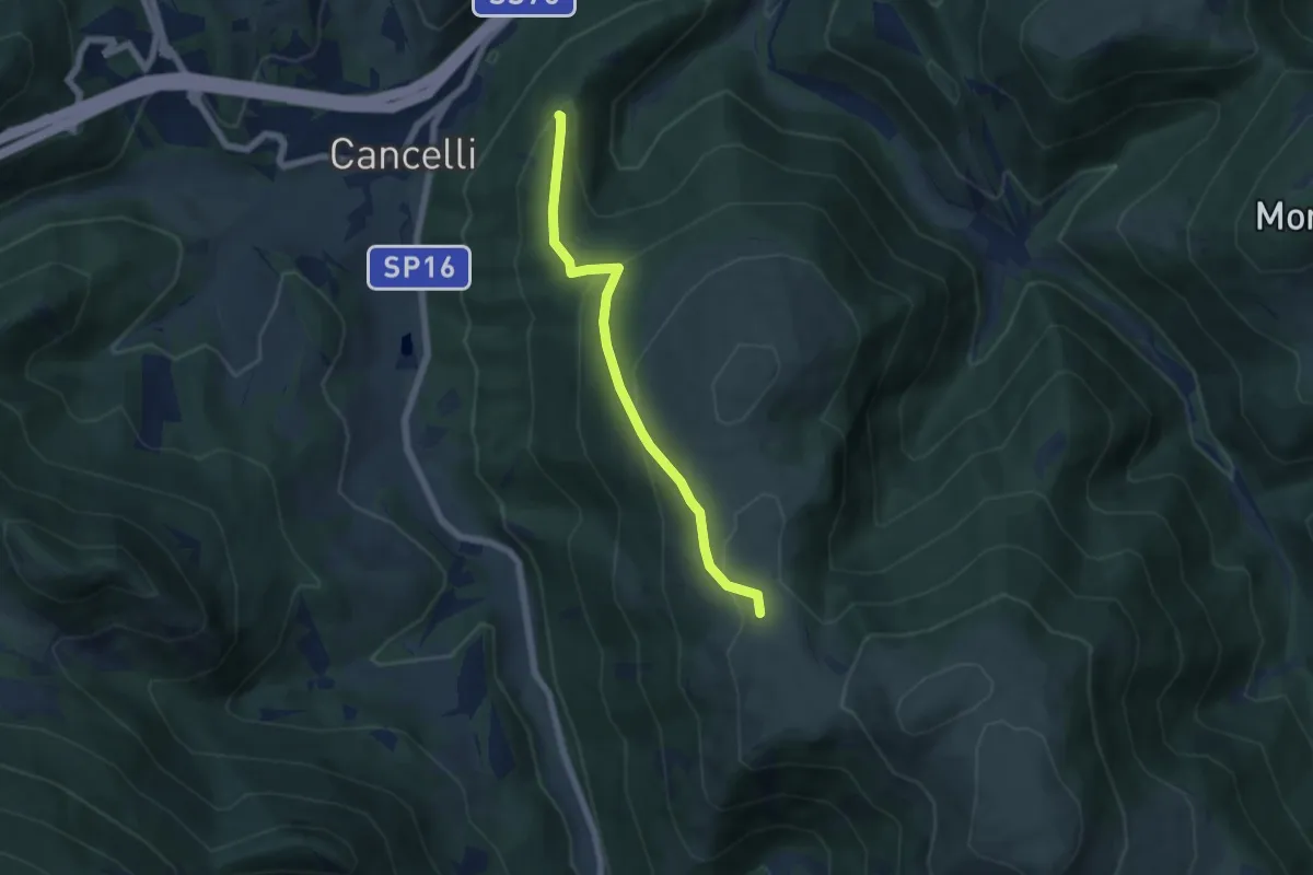
Medium · Trail
Bivio sentiero della Carta – Bivio sentiero 100 (Le Calate)
5.7 km · ↑ 314 m · 2 h 2 min · 7 km away
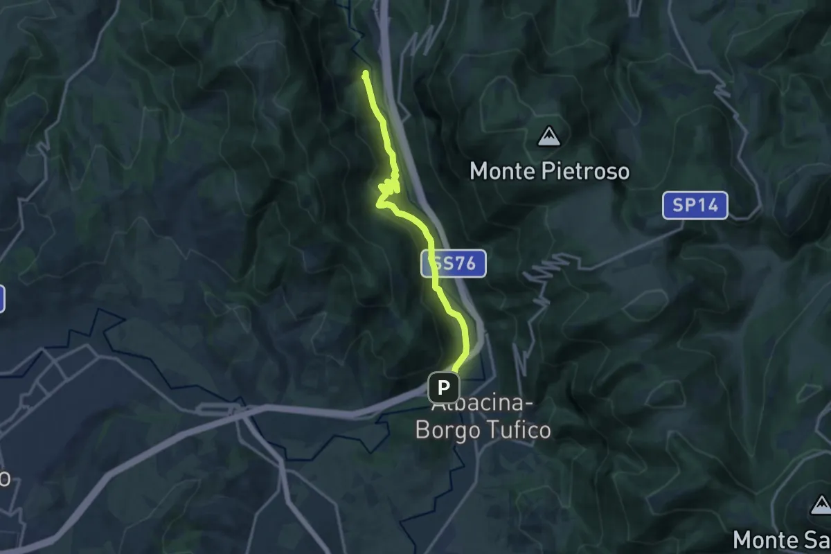
Medium · Trail
Borgo Tufico – Valrapara
12.3 km · ↑ 420 m · 3 h 49 min · 7 km away
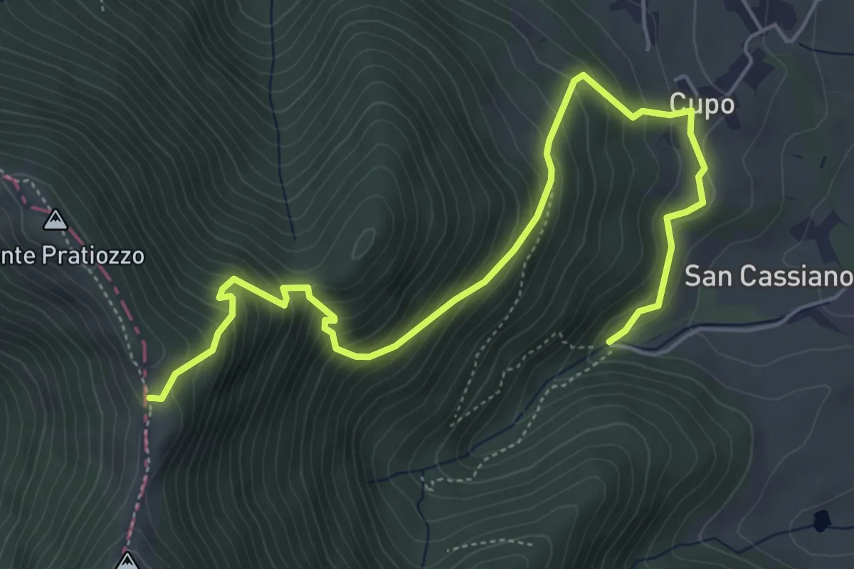
Medium · Trail
Sella Monte Pratiozzo – Tenuta San Cassiano
6.6 km · ↑ 635 m · 2 h 57 min · 8 km away
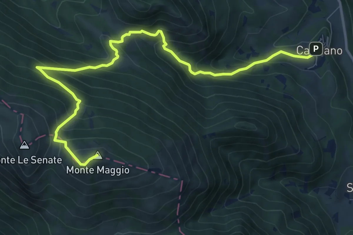
Demanding · Summit
Cacciano – Monte Maggio
11.1 km · ↑ 852 m · 4 h 28 min · 8 km away
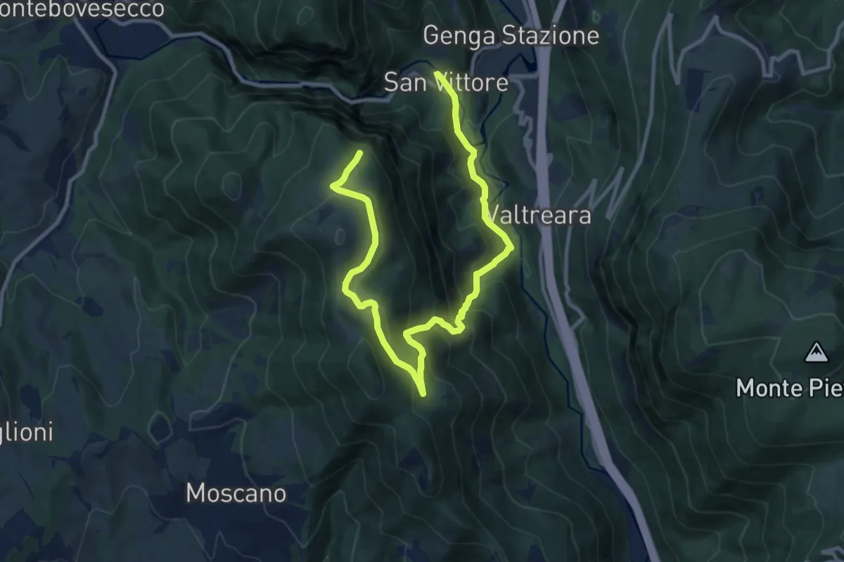
Demanding · Trail
San Vittore – Casale Romei
13.6 km · ↑ 887 m · 5 h 8 min · 8 km away
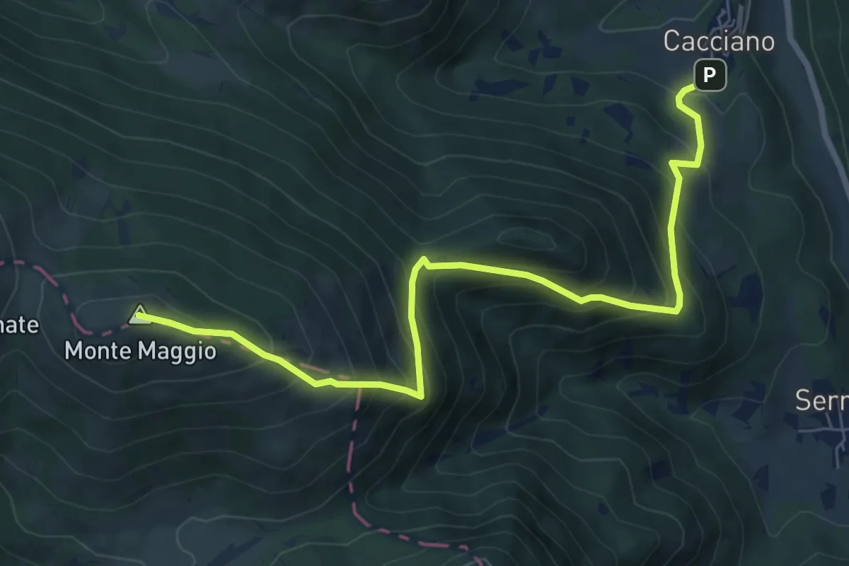
Demanding · Summit
Cacciano – Monte Maggio
8.1 km · ↑ 804 m · 3 h 40 min · 8 km away
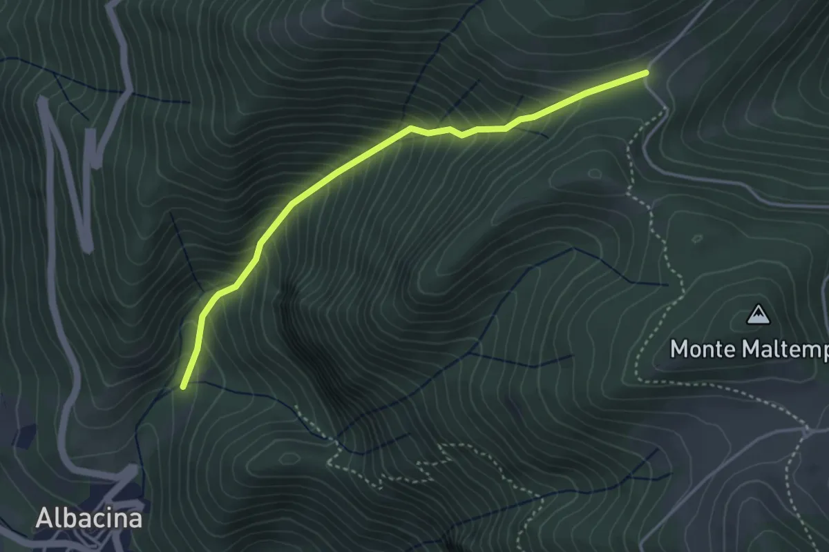
Medium · Trail
Albacina bivio 116 – Casetta bivio 111, 115
3.9 km · ↑ 538 m · 2 h 6 min · 9 km away
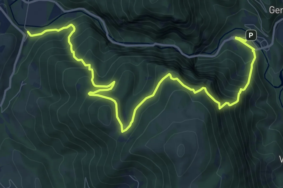
Demanding · Trail
San Vittore – Pianello Case Polli
12.9 km · ↑ 1160 m · 5 h 33 min · 9 km away
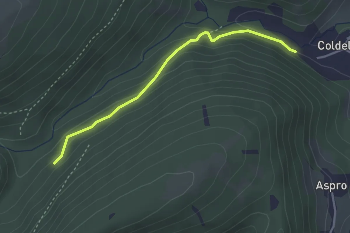
Medium · Trail
incrocio con CAI 148 Coldellanoce – incrocio con CAI 149G
3.1 km · ↑ 152 m · 1 h 3 min · 10 km away
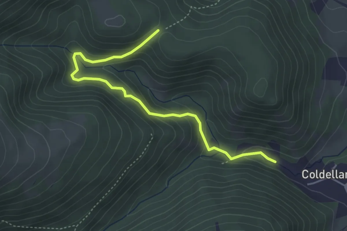
Medium · Trail
incrocio con CAI 148 Coldellanoce – incrocio CAI 148
4.6 km · ↑ 209 m · 1 h 32 min · 10 km away
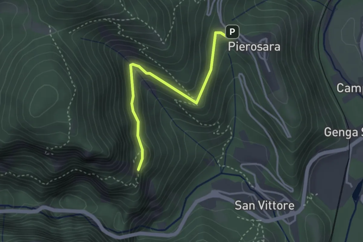
Expert · Trail
Pierosara – Foro degli Occhialoni
3.1 km · ↑ 161 m · 1 h 5 min · 10 km away
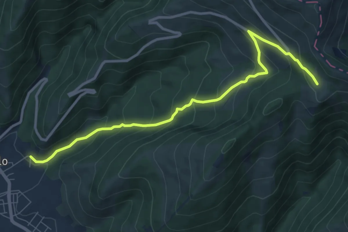
Medium · Trail
Sigillo – Le Cese (Sent. n. 281)
8.2 km · ↑ 545 m · 3 h 6 min · 10 km away
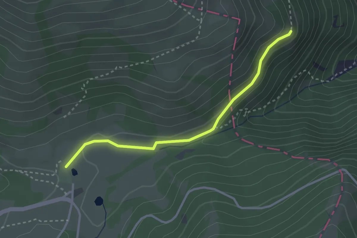
Medium · Cabin
Valsorda – 125
2.8 km · ↑ 92 m · 52 min · 10 km away
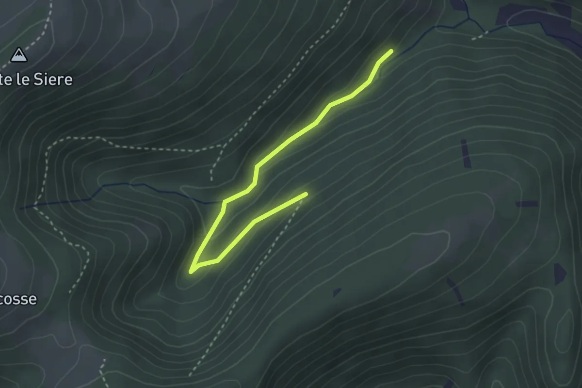
Medium · Trail
incrocio con CAI 150 – incrocio con CAI 149F
3.3 km · ↑ 88 m · 58 min · 10 km away
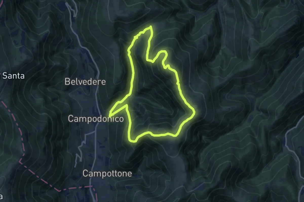
Medium · Summit
Campodonico – Campodonico
11.2 km · ↑ 705 m · 4 h 20 min · 10 km away
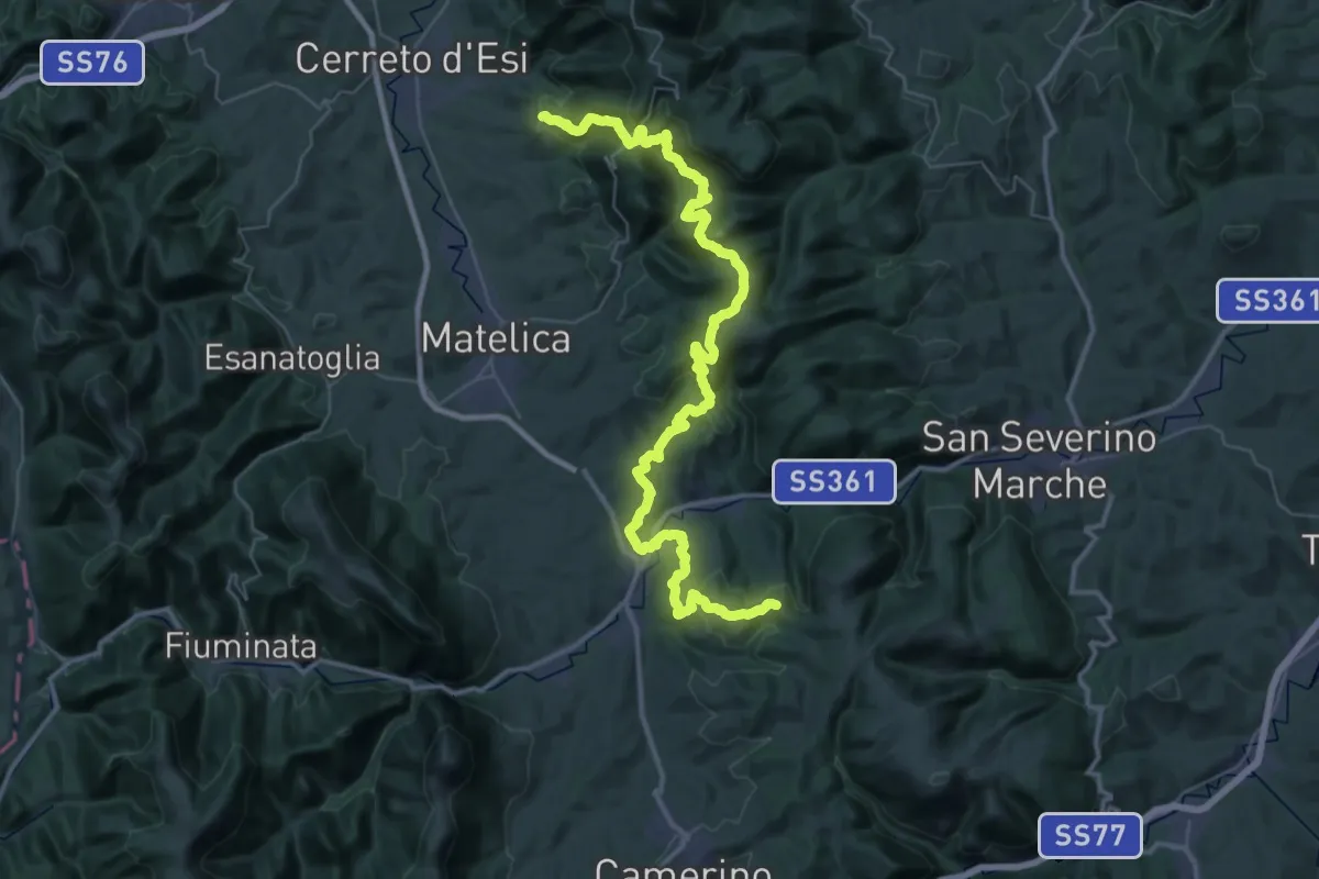
Demanding · Trail
Cammino dei Forti - Tappa 2A - Variante Rotis
28.2 km · ↑ 1298 m · 9 h 49 min · 10 km away
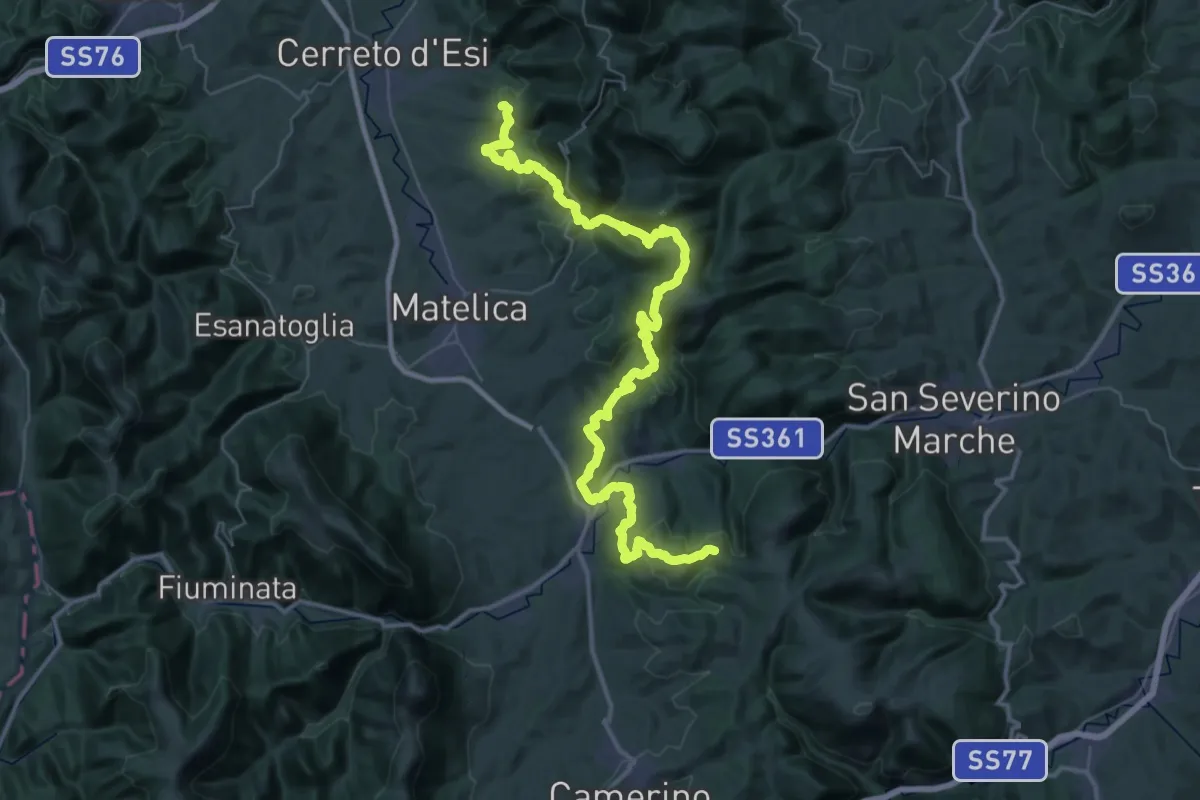
Demanding · Trail
Cammino dei Forti - Tappa 2B - Variante Vinano
29.1 km · ↑ 1268 m · 9 h 59 min · 10 km away
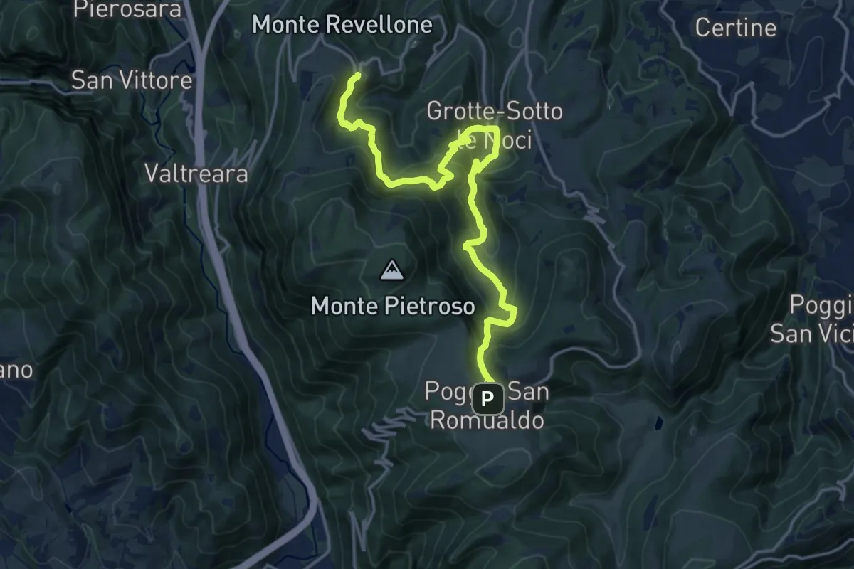
Demanding · Trail
Castelletta – Poggio San Romualdo
17.5 km · ↑ 1237 m · 6 h 48 min · 10 km away
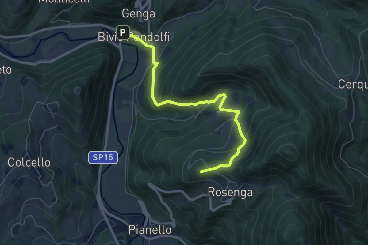
Medium · Summit
Bivio Pandolfi Genga – Valico Monte Frasassi
6.8 km · ↑ 323 m · 2 h 18 min · 10 km away
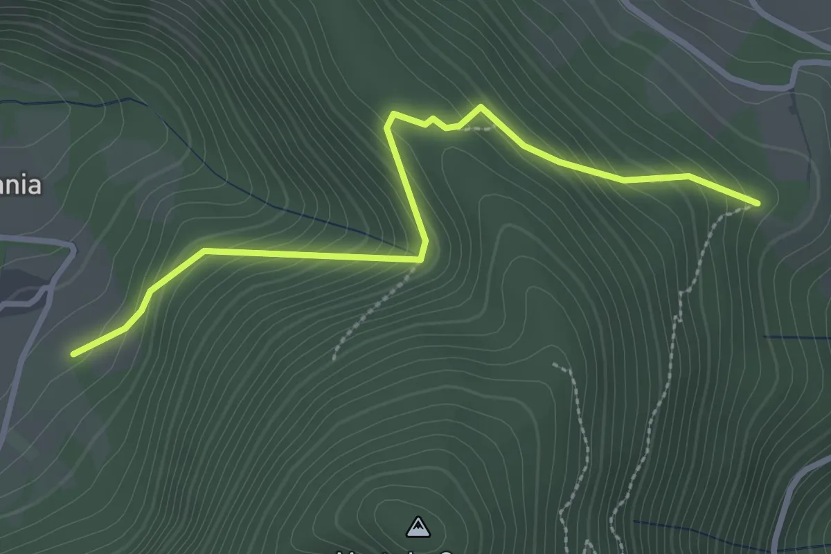
Easy · Trail
Vallemania bivio 121 – Piano di Serra bivio 139
3.1 km · ↑ 256 m · 1 h 17 min · 11 km away
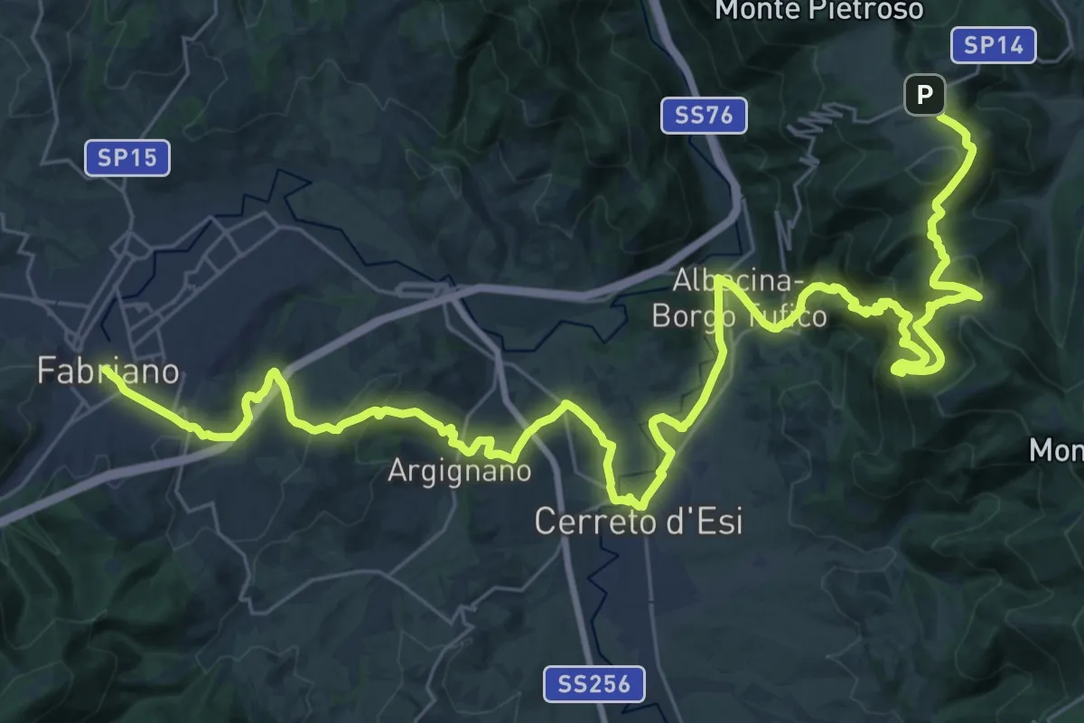
Demanding · Trail
Cammino dei Cappuccini - Tappa 6
24.2 km · ↑ 659 m · 7 h 47 min · 11 km away
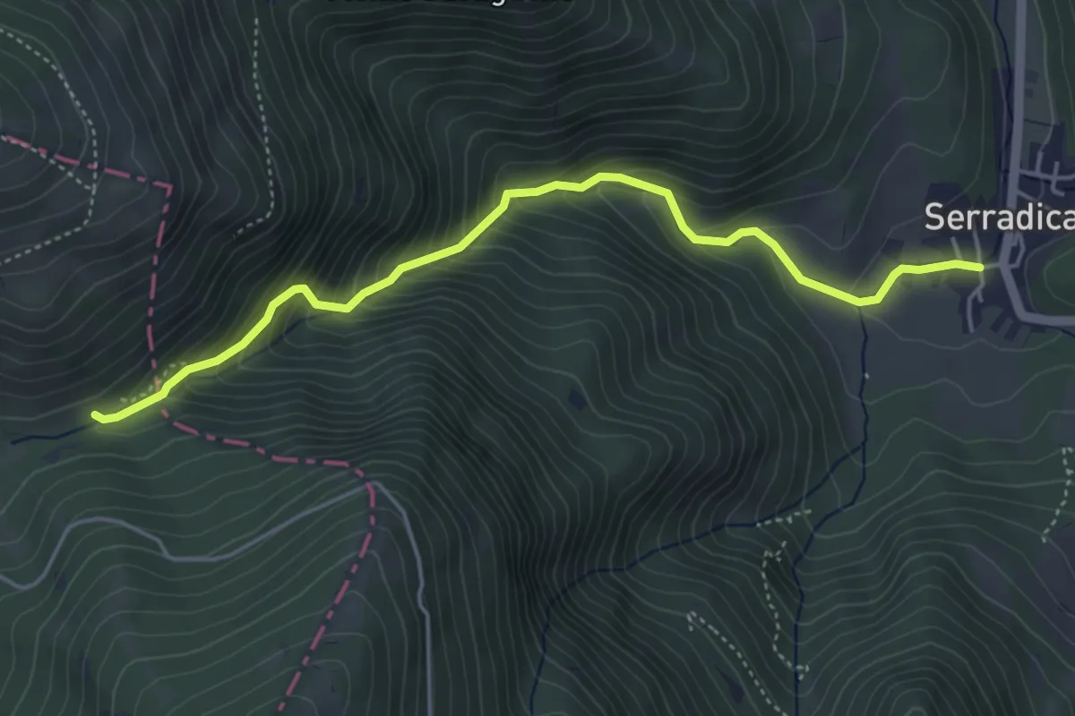
Demanding · Trail
Valsorda - Sentiero 125A – Serradica
5.1 km · ↑ 484 m · 2 h 16 min · 11 km away
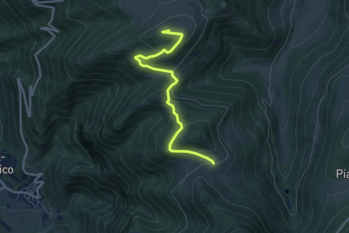
Medium · Summit
Poggio San Romualdo – Caprareccia
6.8 km · ↑ 275 m · 2 h 12 min · 11 km away
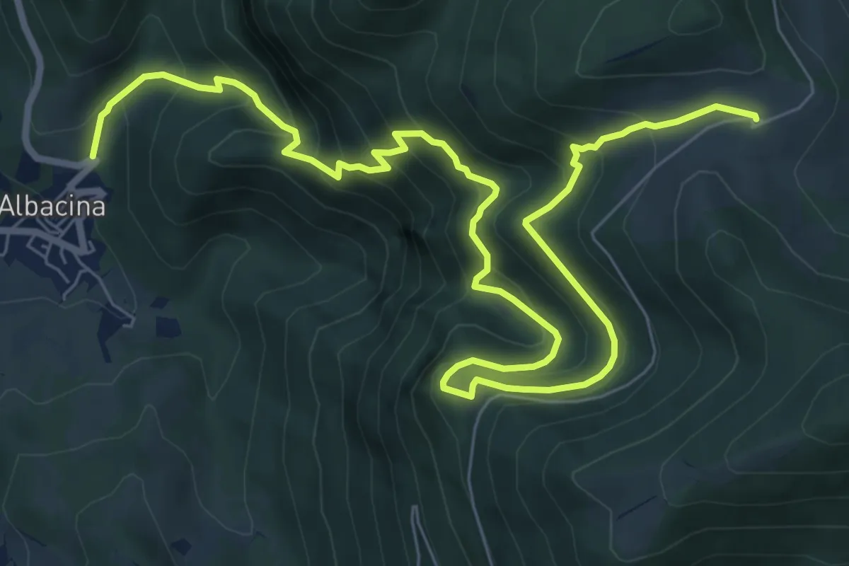
Demanding · Trail
Albacina – Caprareccia
10.9 km · ↑ 928 m · 4 h 36 min · 11 km away
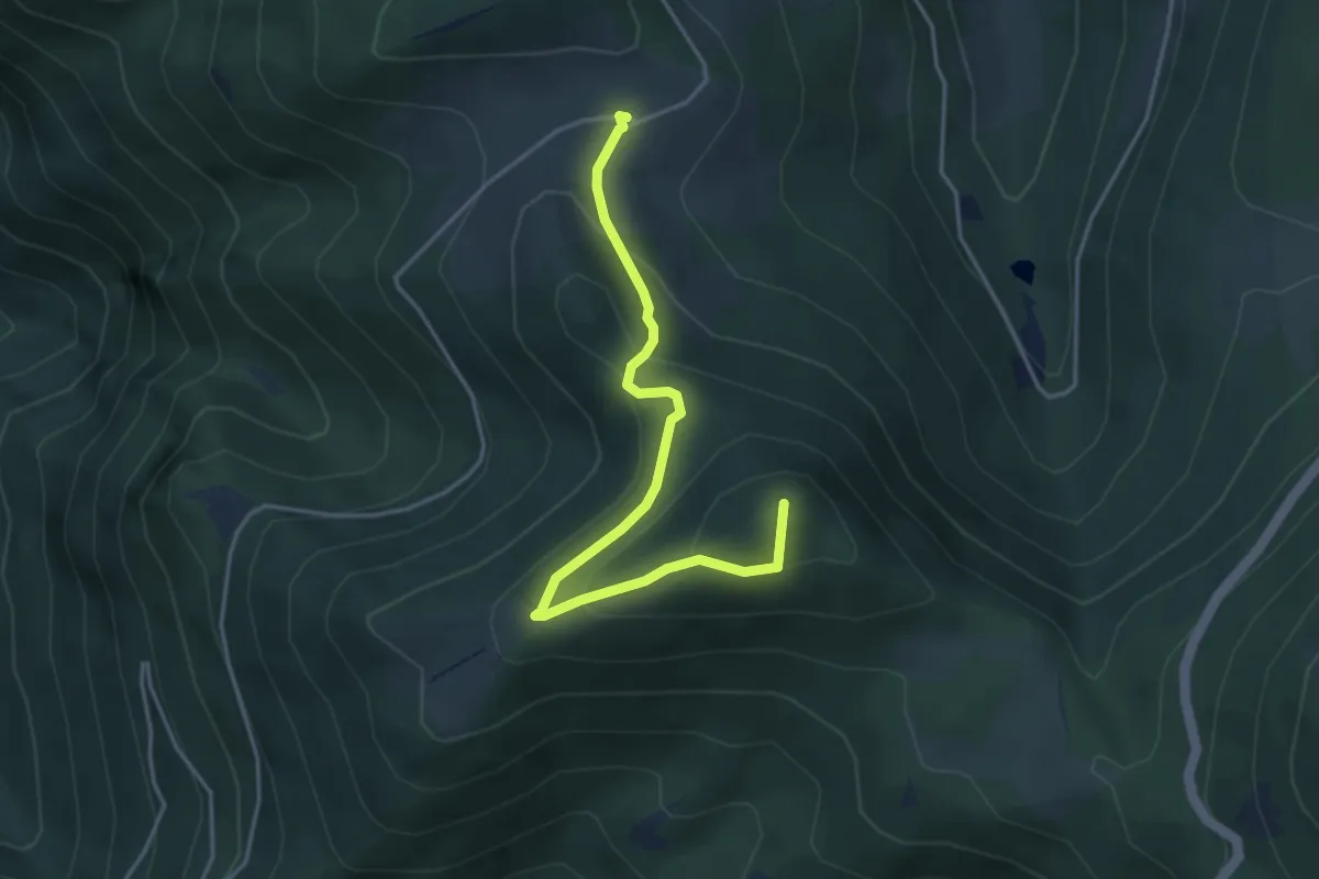
Medium · Summit
Caprareccia – Prati Alti del San Vicino
4.5 km · ↑ 240 m · 1 h 35 min · 11 km away
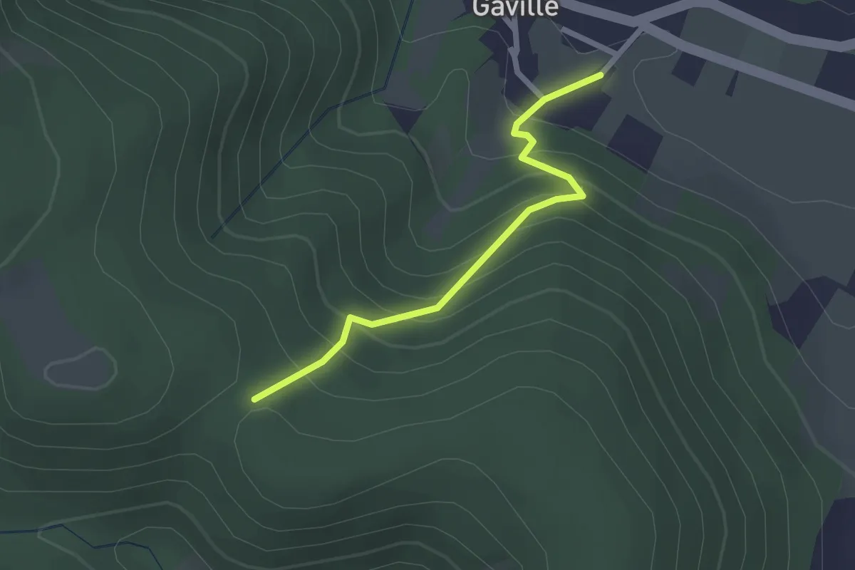
Medium · Trail
Gaville – incrocio con CAI 148
2.2 km · ↑ 211 m · 59 min · 11 km away
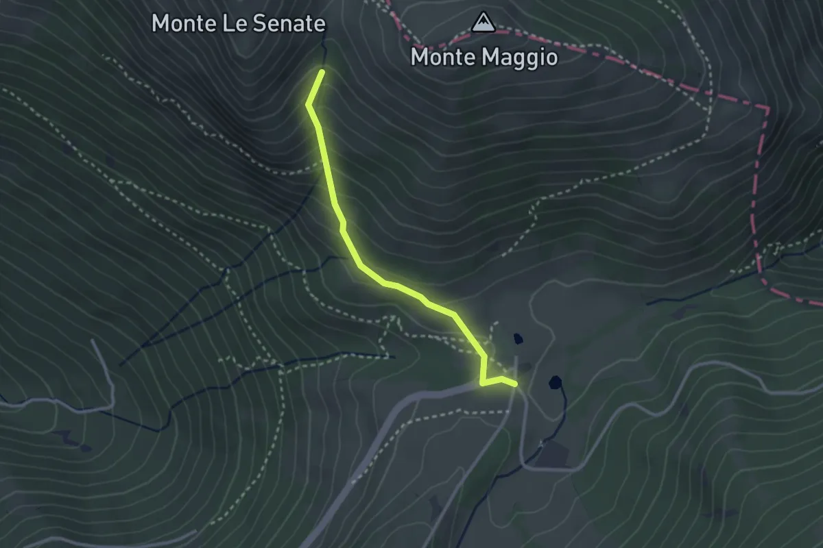
Easy · Cabin
Sentiero delle Passaiole
2.7 km · ↑ 220 m · 1 h 7 min · 11 km away
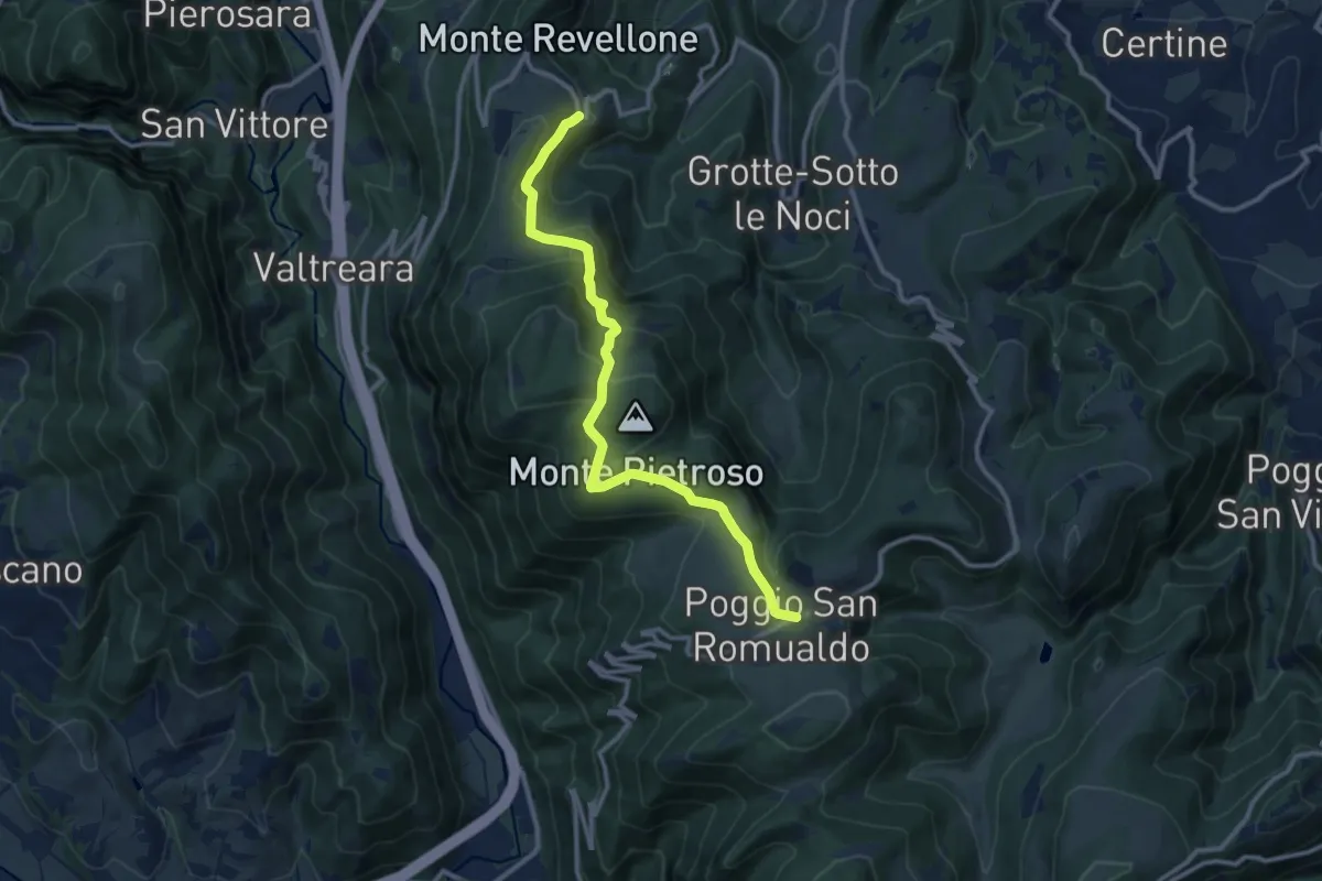
Medium · Trail
Castelletta – Poggio San Romualdo
12.3 km · ↑ 571 m · 4 h 8 min · 11 km away
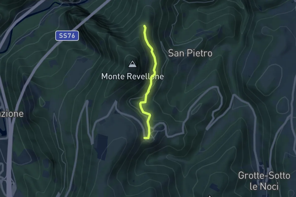
Easy · Trail
Castelletta – Cresta Nord M. Revellone bivio 108
3.9 km · ↑ 189 m · 1 h 19 min · 11 km away
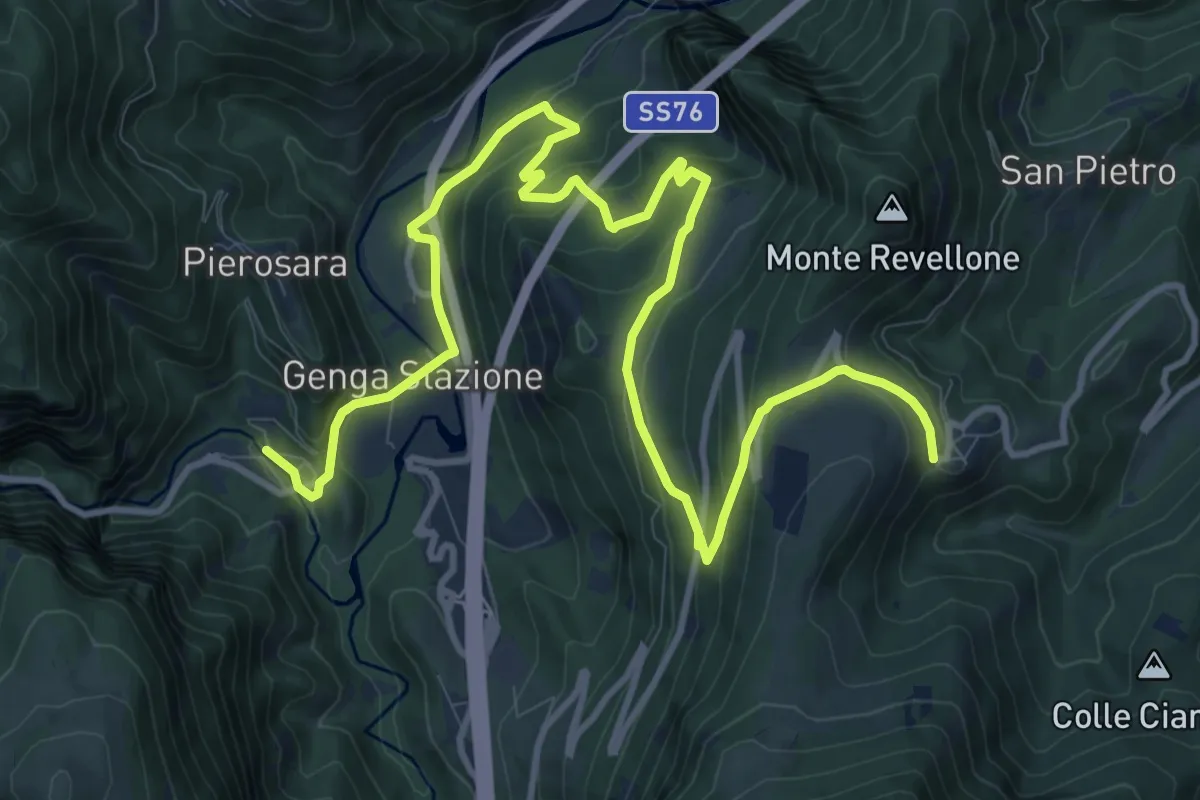
Medium · Trail
San Vittore – Castelletta
16.2 km · ↑ 653 m · 5 h 14 min · 11 km away
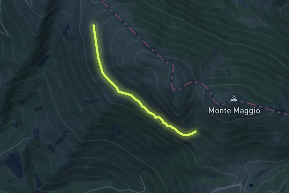
Expert · Trail
Passaiola bassa
4.4 km · ↑ 243 m · 1 h 34 min · 11 km away