Trails near Faenza
26 hikes starting within 15 km, nearest first.
Nearest first
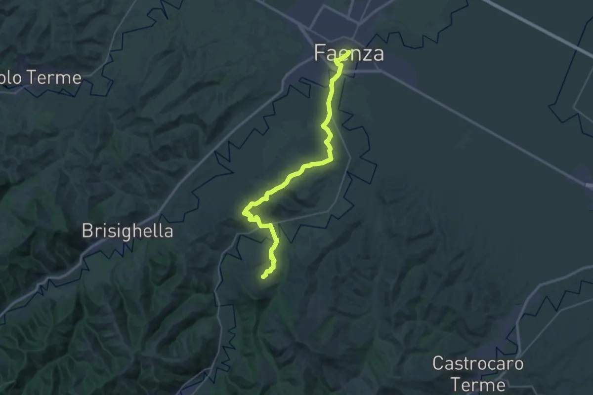
Demanding · Summit
Viae Sancti Romualdi: Tappa 3
27.8 km · ↑ 521 m · 7 h 42 min · under 1 km away
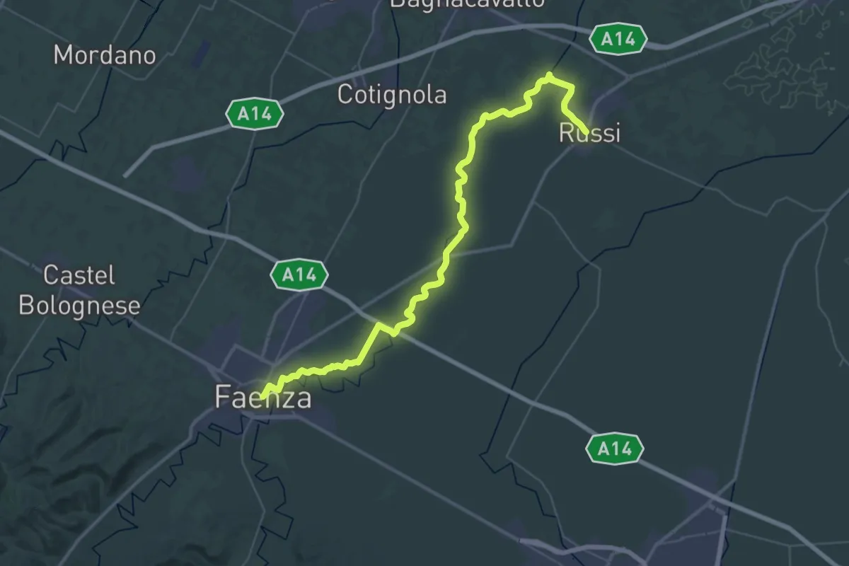
Demanding · Trail
Viae Sancti Romualdi: Tappa 2
23.4 km · ↑ 4 m · 5 h 53 min · under 1 km away
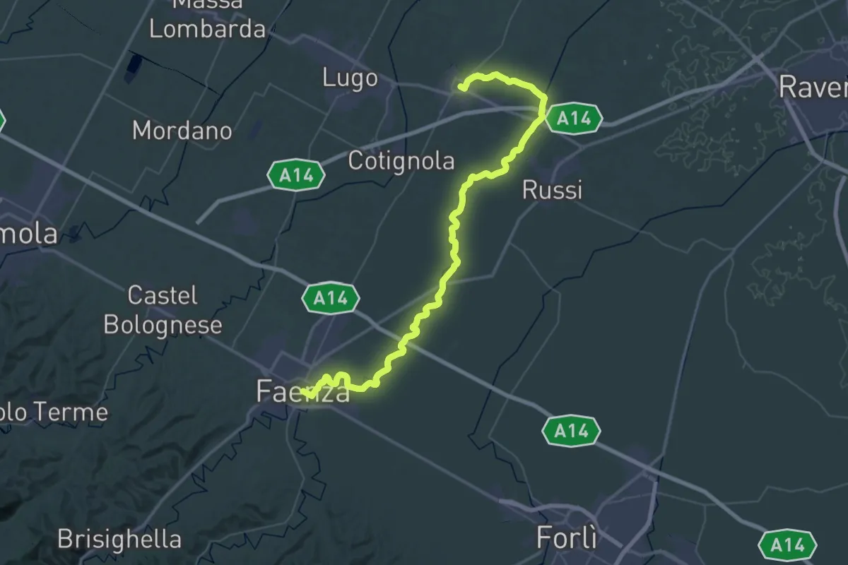
Demanding · Trail
Viae Misericordiae: Tappa 12
29.2 km · ↑ 8 m · 7 h 21 min · under 1 km away
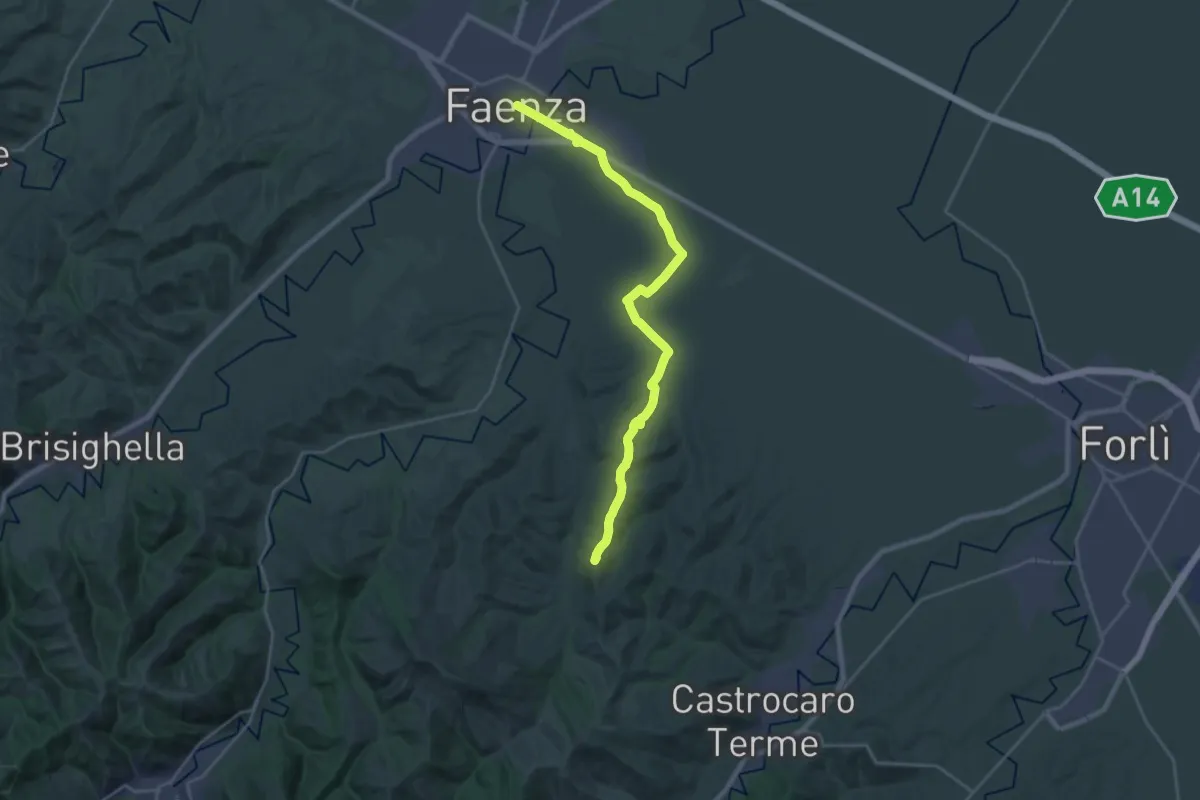
Demanding · Summit
Viae Misericordiae: Tappa 11
26.3 km · ↑ 237 m · 6 h 44 min · under 1 km away
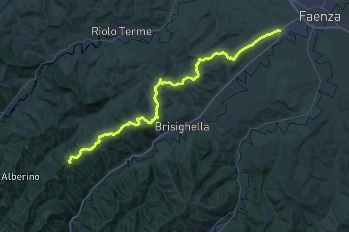
Demanding · Summit
Sentiero Ariano Bentivoglio
43.9 km · ↑ 1342 m · 13 h 16 min · 3 km away
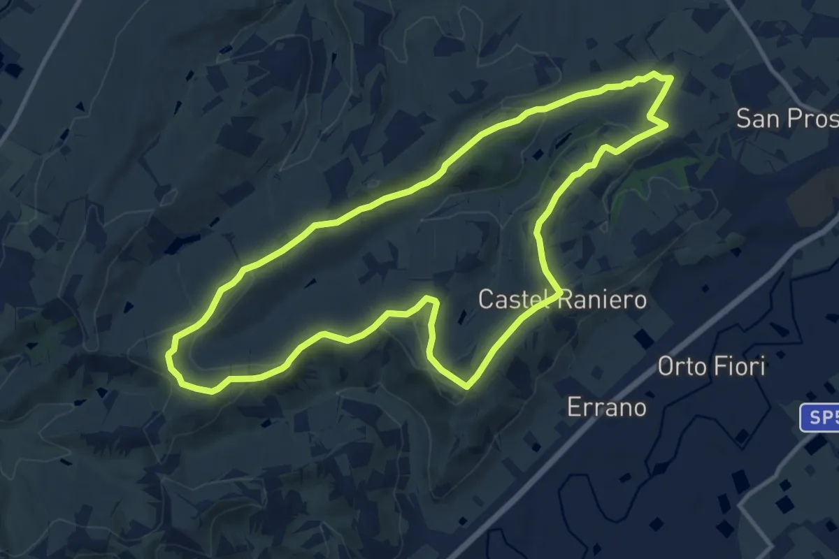
Medium · Trail
Percorso Albana
11.2 km · ↑ 217 m · 3 h 17 min · 7 km away
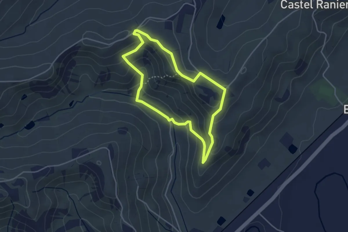
Easy · Trail
Percorso Berta
3.2 km · ↑ 116 m · 1 h 3 min · 7 km away
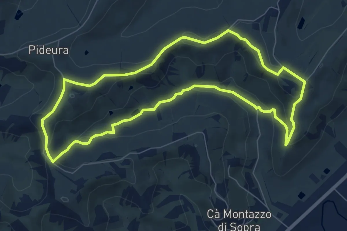
Easy · Trail
Percorso Sangiovese
6.8 km · ↑ 170 m · 2 h 5 min · 7 km away
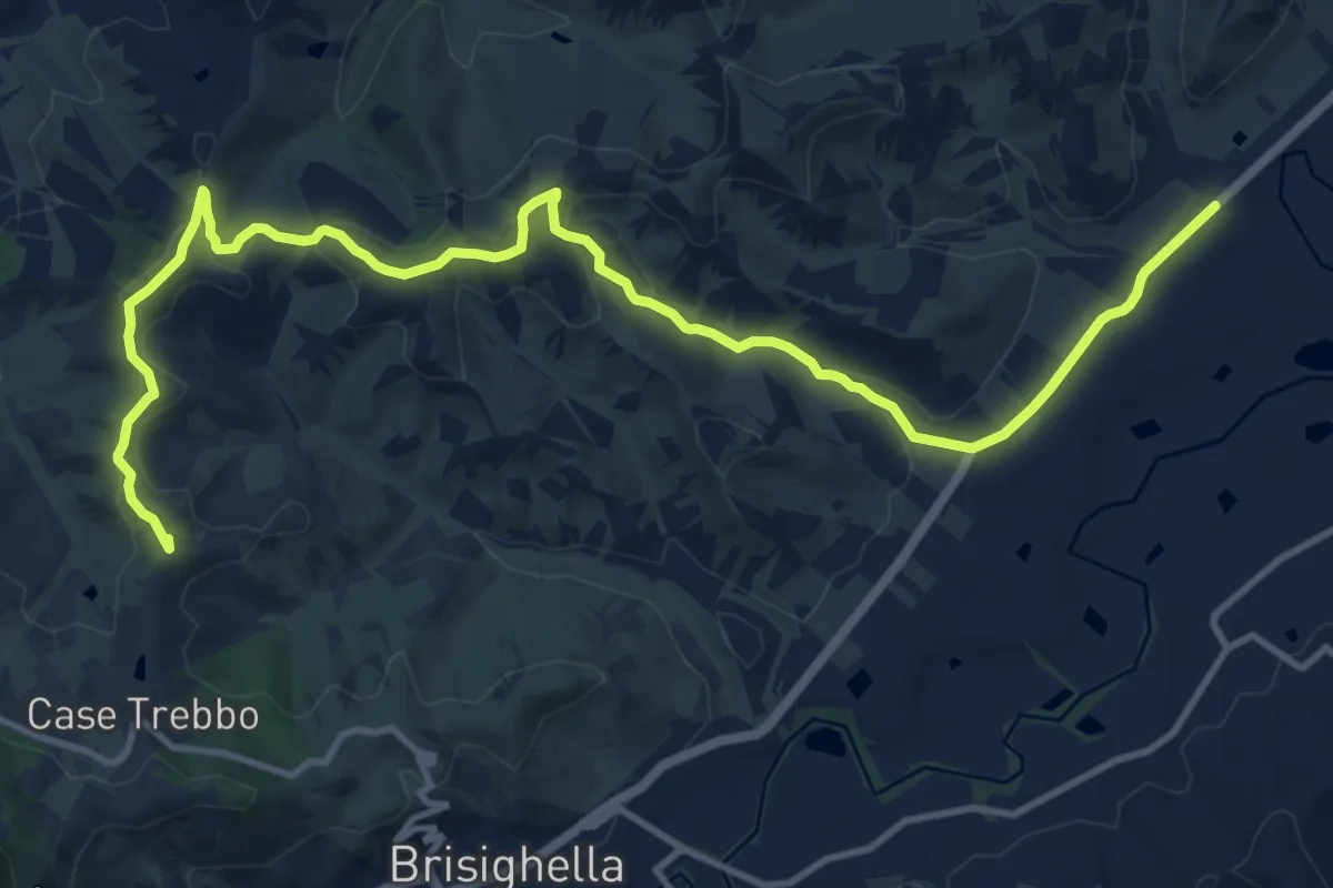
Demanding · Summit
Viae Misericordiae: Tappa 6
16.1 km · ↑ 408 m · 4 h 41 min · 7 km away
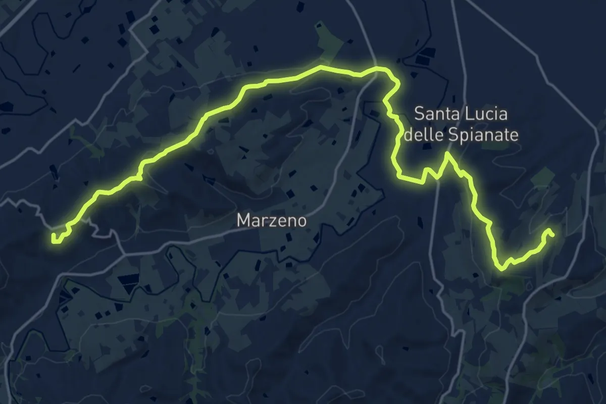
Demanding · Summit
Cammino di Dante - Tappa 3
24.1 km · ↑ 506 m · 6 h 46 min · 7 km away
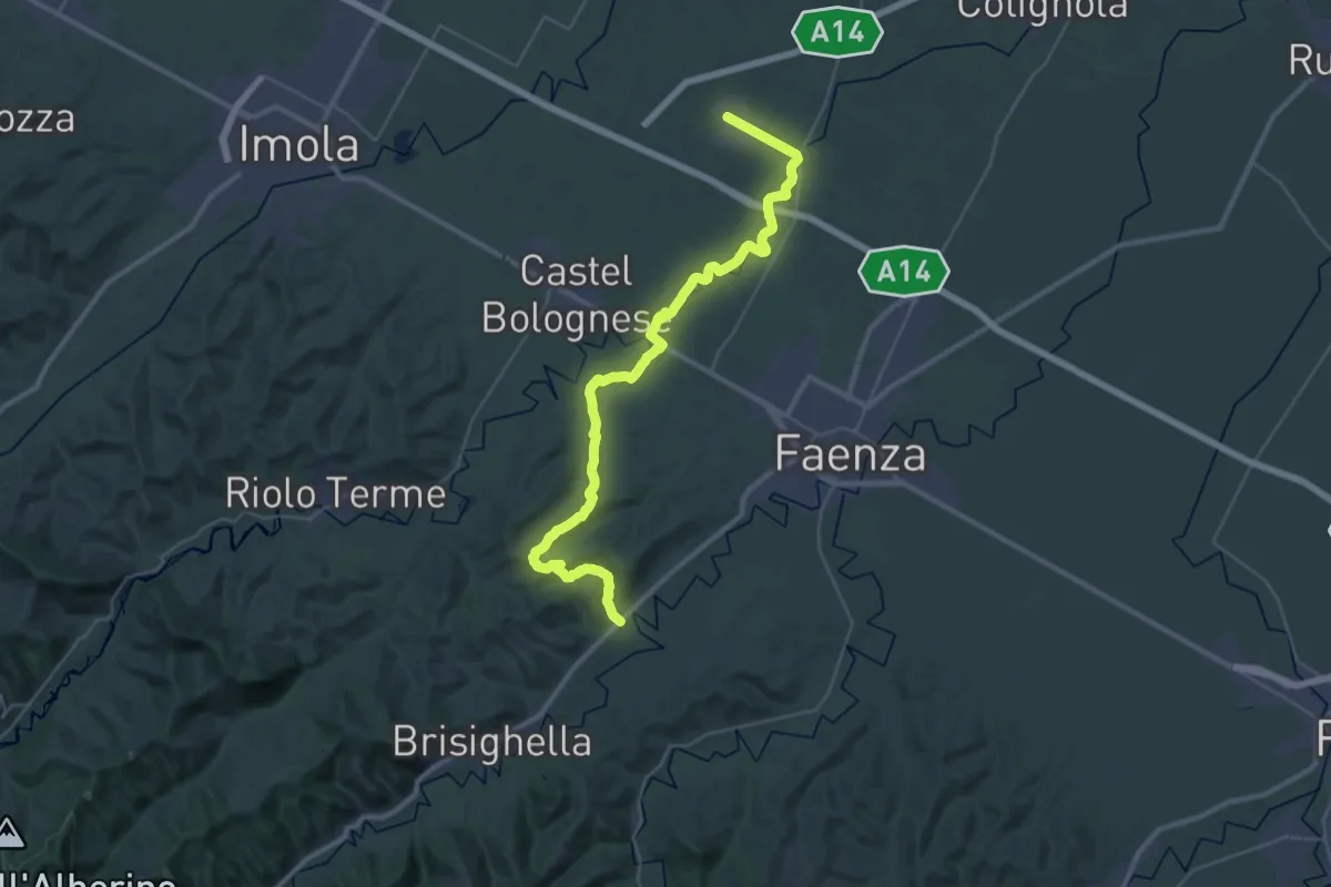
Demanding · Trail
Viae Misericordiae: Tappa 5
20.7 km · ↑ 236 m · 5 h 40 min · 9 km away
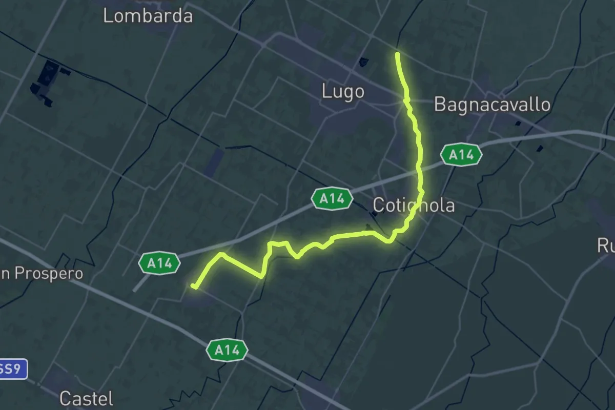
Demanding · Trail
Viae Misericordiae: Tappa 4
33.4 km · ↑ 17 m · 7 h 56 min · 9 km away
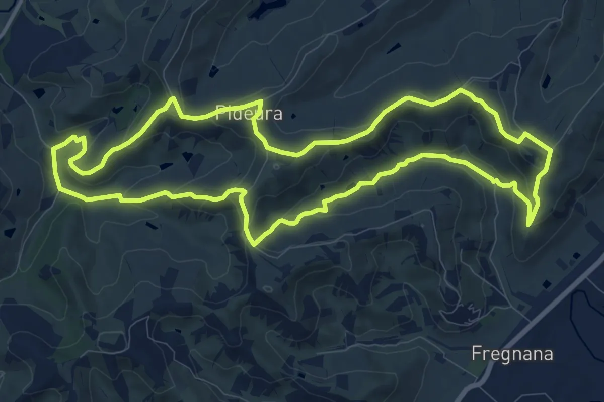
Medium · Trail
Percorso Floresco
11.1 km · ↑ 336 m · 3 h 29 min · 10 km away
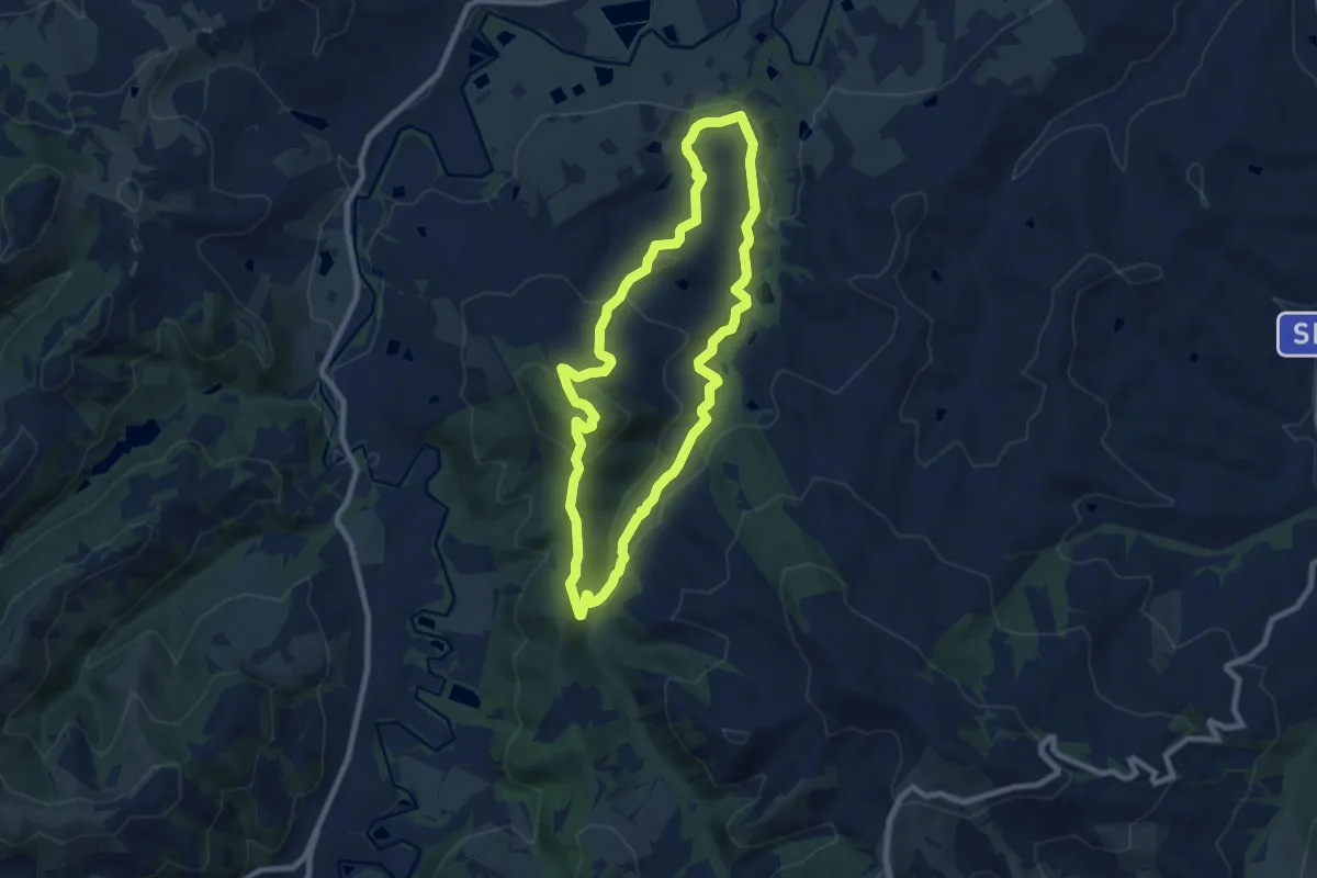
Medium · Summit
San Giorgio in Ceparano – San Giorgio in Ceparano
8.3 km · ↑ 288 m · 2 h 41 min · 11 km away
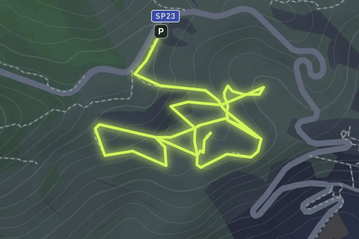
Medium · Trail
Sentiero Didattico Parco Museo Geologico del Monticino
4.7 km · ↑ 198 m · 1 h 32 min · 11 km away
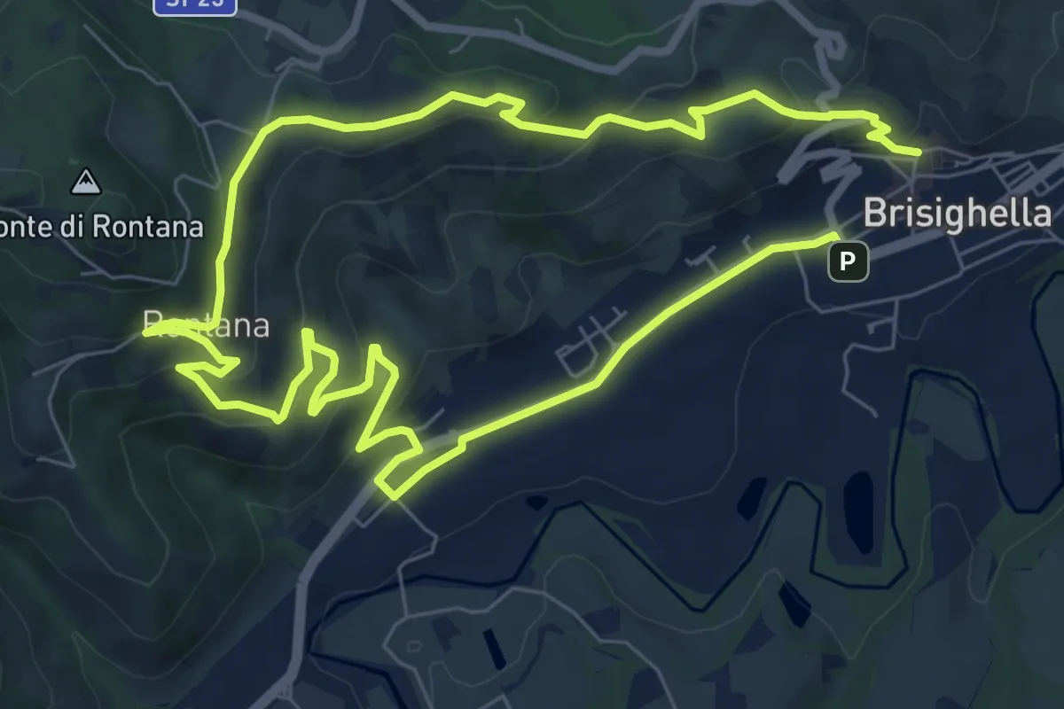
Medium · Trail
Il Sentiero dell'Olio
14.0 km · ↑ 513 m · 4 h 26 min · 12 km away
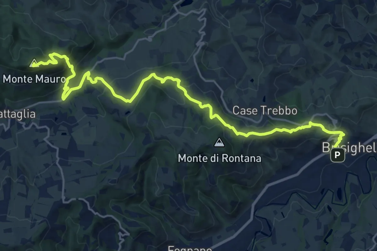
Demanding · Summit
Sentiero Luigi Rava
19.3 km · ↑ 970 m · 6 h 40 min · 12 km away
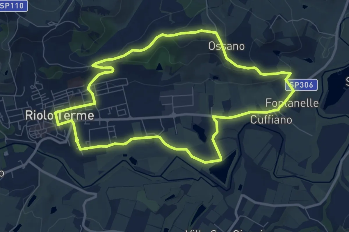
Easy · Summit
Petalo di Monte Ghebbio
7.9 km · ↑ 180 m · 2 h 22 min · 12 km away
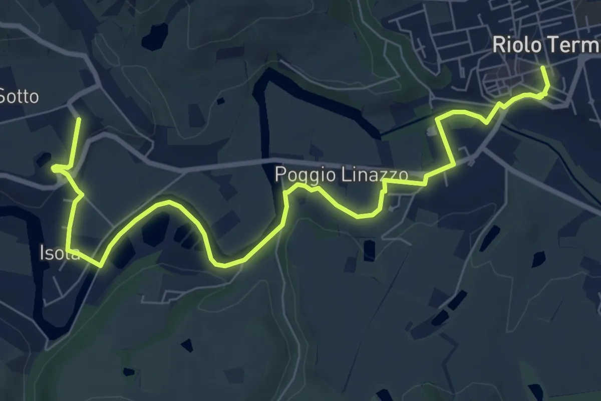
Easy · Trail
Petalo di Gallisterna
4.5 km · ↑ 50 m · 1 h 14 min · 13 km away
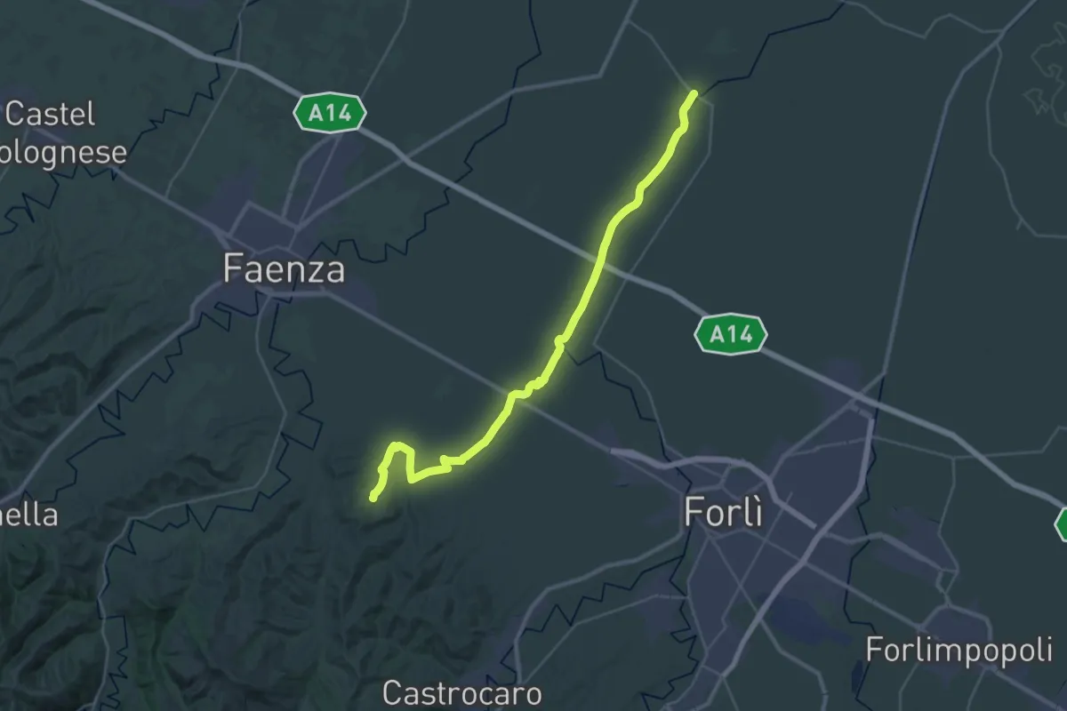
Demanding · Trail
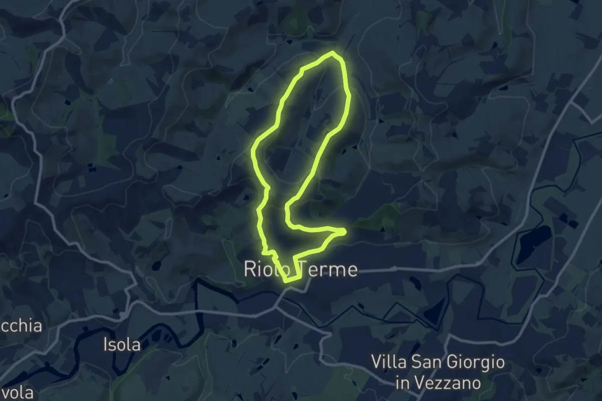
Cammino di Dante - Tappa 2
18.4 km · ↑ 146 m · 4 h 51 min · 13 km away
Medium · Trail
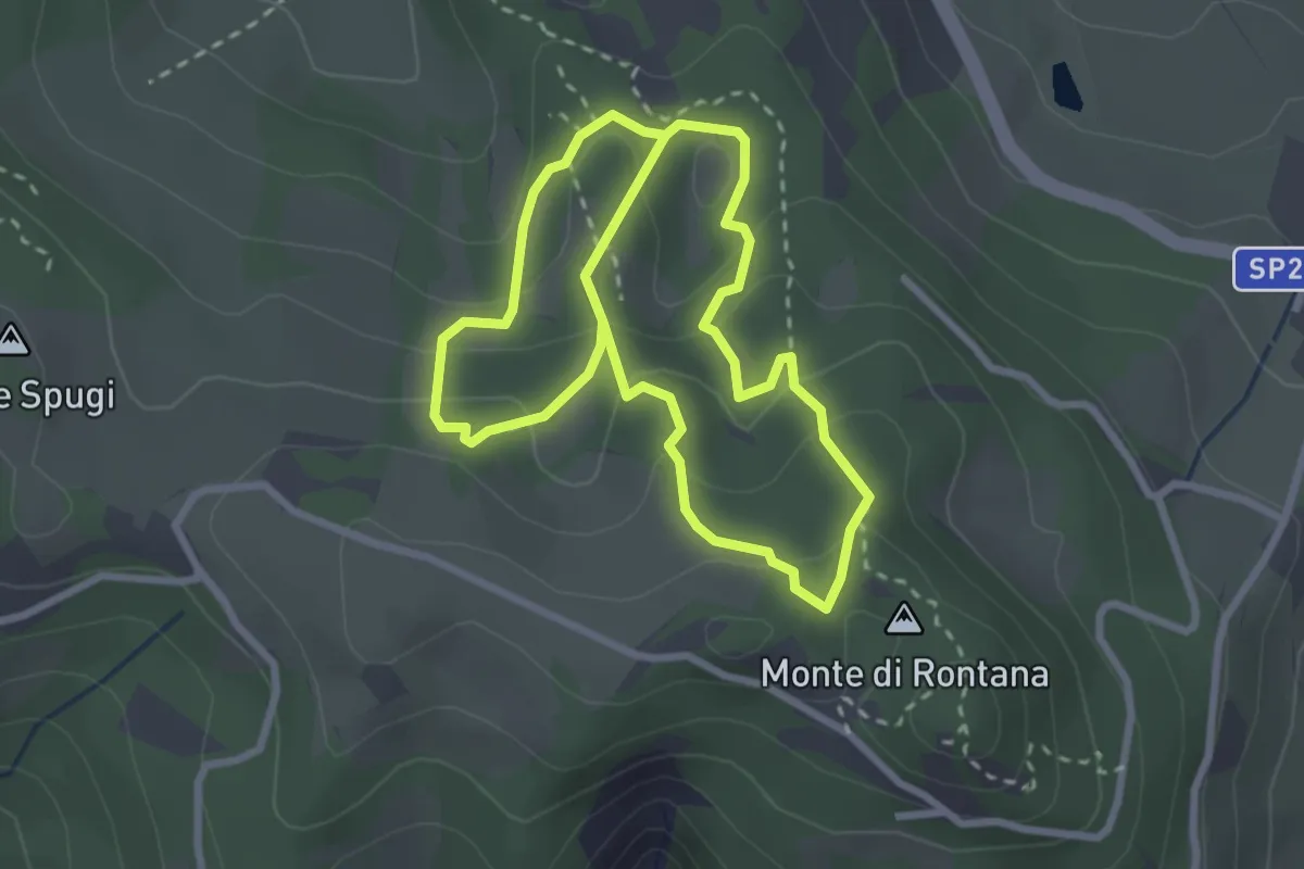
Petalo di Mazzolano
8.6 km · ↑ 284 m · 2 h 46 min · 13 km away
Medium · Cabin
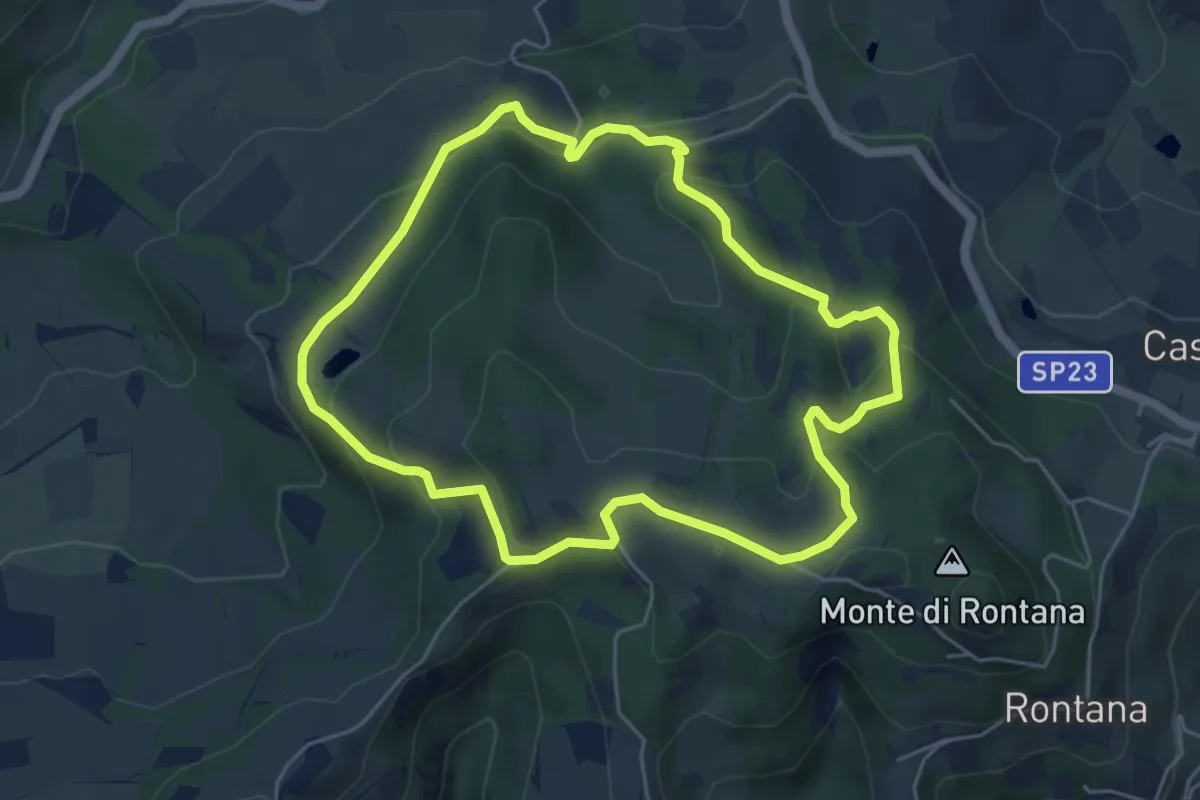
Sentiero degli Abissi
2.7 km · ↑ 160 m · 1 h 1 min · 13 km away
Medium · Trail
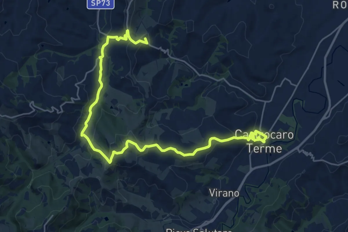
L'Anello del Carnè
5.3 km · ↑ 226 m · 1 h 49 min · 14 km away
Demanding · Summit
Percorso Geositi "Lo Spungone"
23.1 km · ↑ 720 m · 7 h · 14 km away
Demanding · Summit
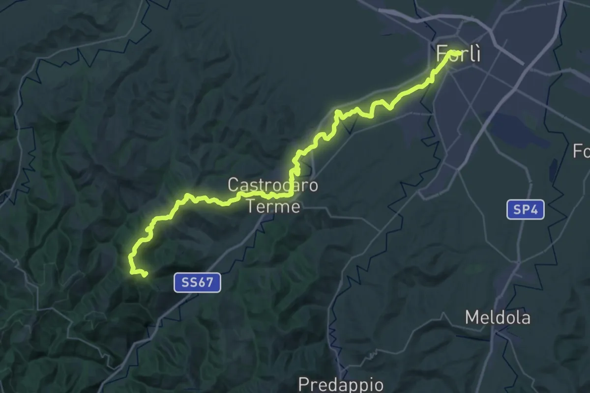
Il Cammino di Sant'Antonio - Antonio di Forlì
23.6 km · ↑ 528 m · 6 h 51 min · 14 km away
Medium · Trail
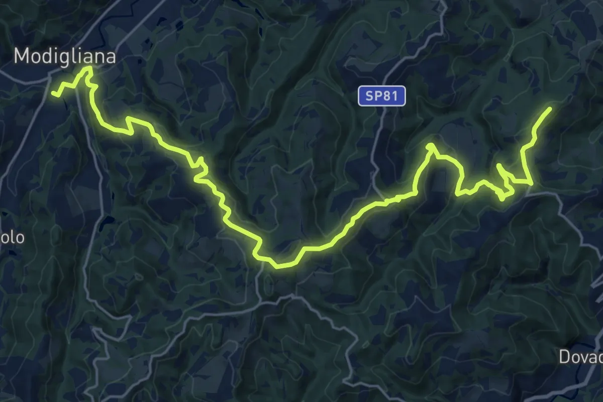
Viae Misericordiae: Tappa 10
14.0 km · ↑ 412 m · 4 h 31 min · 15 km away