Trails near Feltre
61 hikes starting within 15 km, nearest first.
Nearest first, page 1 of 2
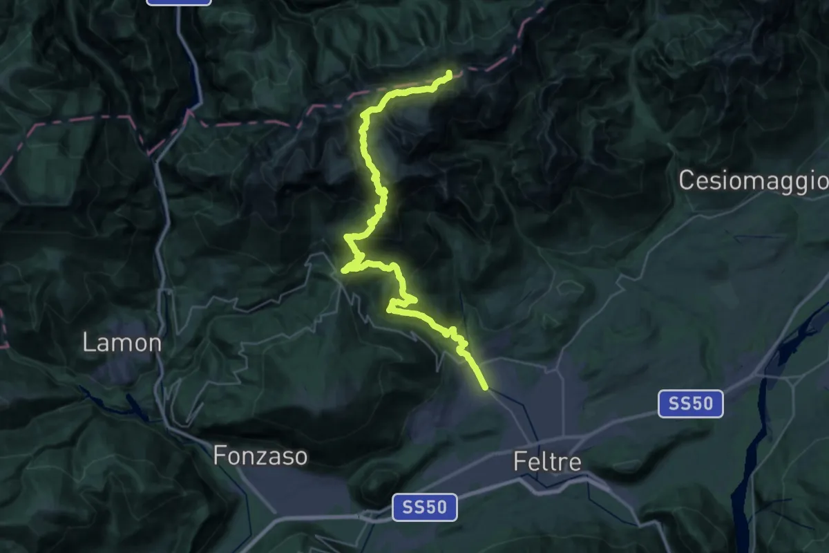
Expert · Summit
Pedavena Feltre – Passo Comedon - Confine Regione
37.8 km · ↑ 2687 m · 14 h 45 min · 3 km away
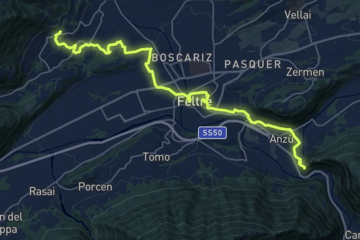
Medium · Pilgrim path
Cammino delle Dolomiti - Tappa 01
10.5 km · ↑ 310 m · 3 h 13 min · 3 km away
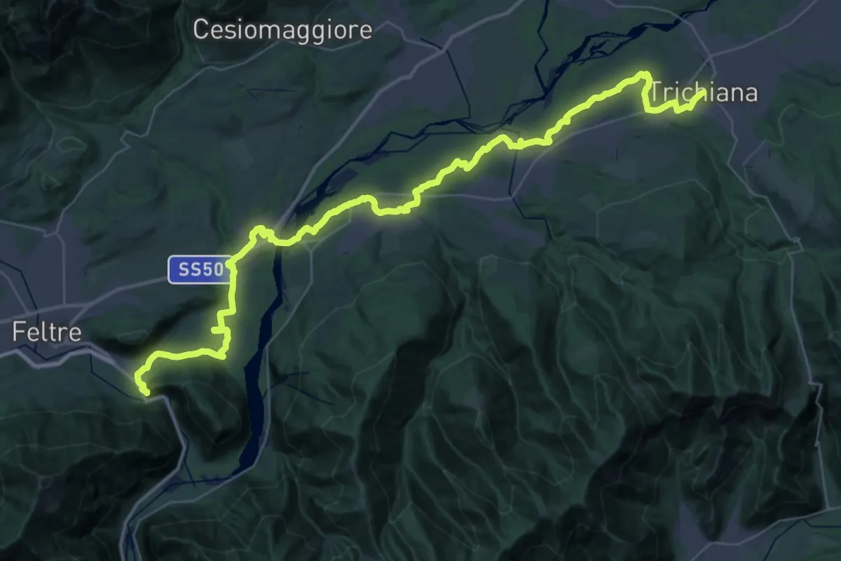
Demanding · Pilgrim path
Cammino delle Dolomiti - Tappa 30
25.8 km · ↑ 292 m · 7 h 3 min · 3 km away
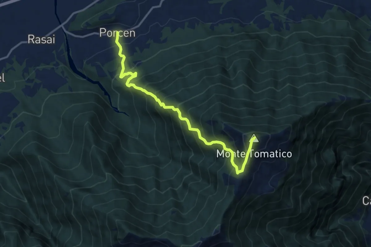
Demanding · Summit
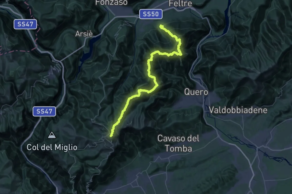
Porcen - Colle La Croce – Monte Tomatico
9.9 km · ↑ 1209 m · 4 h 58 min · 3 km away
Demanding · Summit
Alta Via delle Dolomiti n. 8
52.6 km · ↑ 4703 m · 22 h 37 min · 4 km away
Easy · Trail
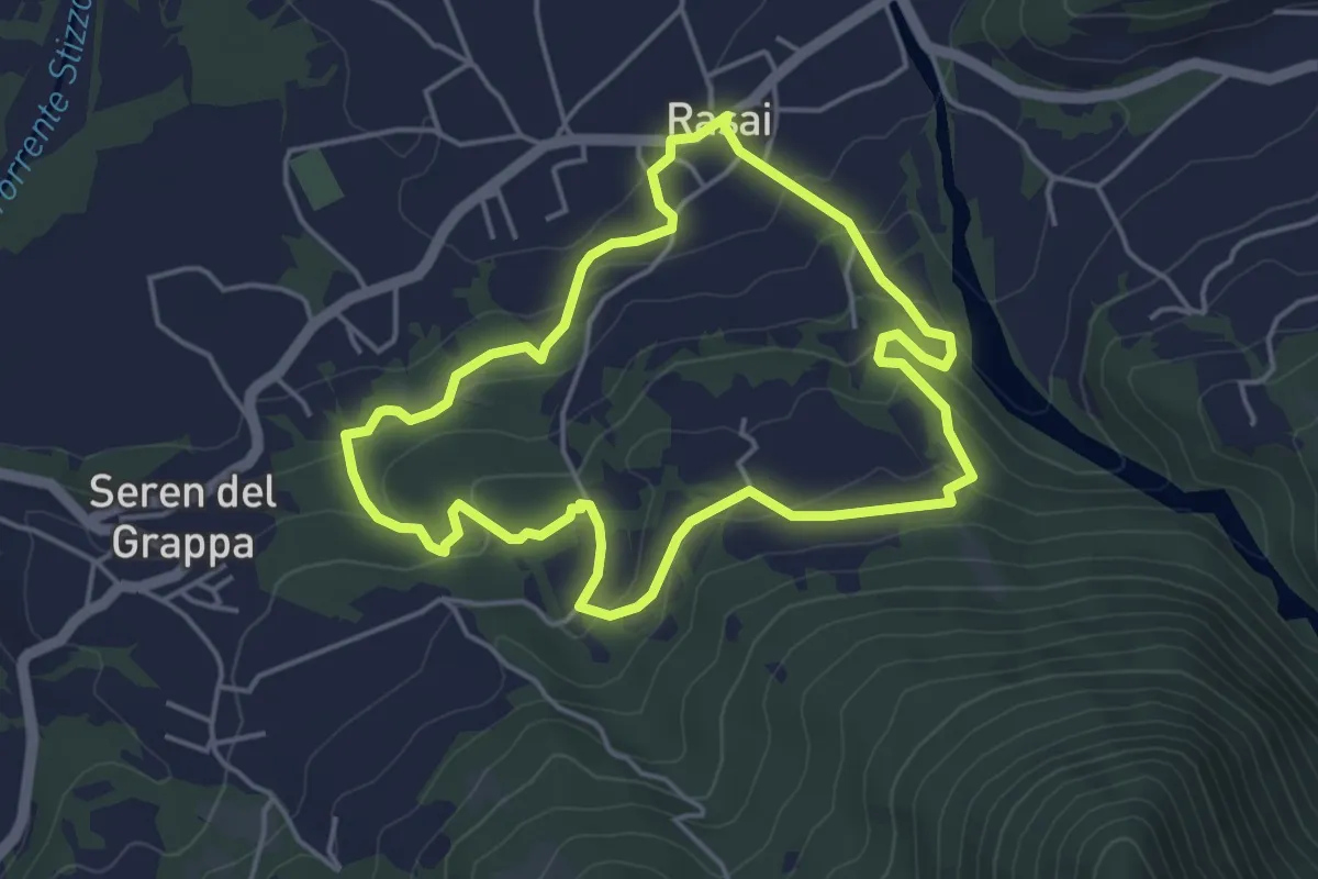
Sentiero Regina Amalassunta
4.3 km · ↑ 151 m · 1 h 24 min · 5 km away
Demanding · Trail
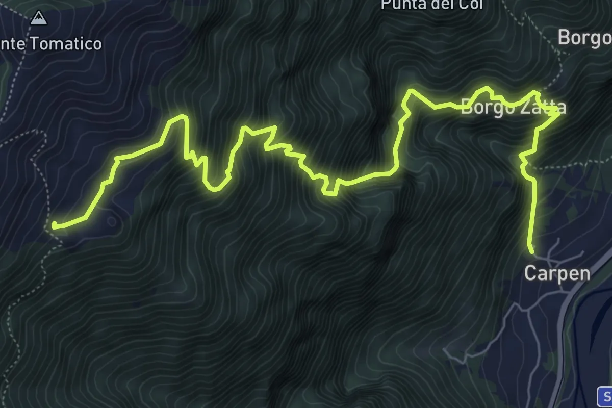
Carpen – Stalle Ronchio - inn. sent. 844
9.1 km · ↑ 1304 m · 4 h 58 min · 5 km away
Medium · Pilgrim path
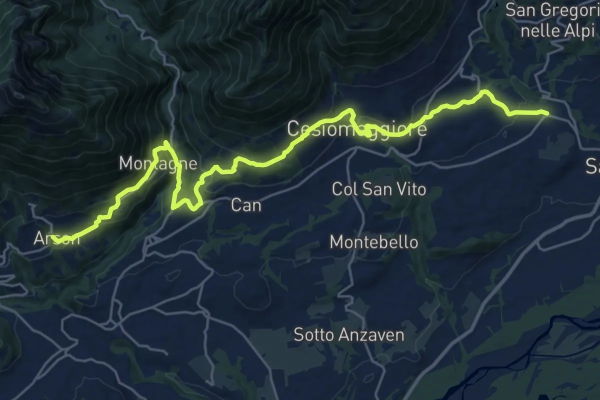
Cammino delle Dolomiti - Tappa 05
11.1 km · ↑ 358 m · 3 h 38 min · 7 km away
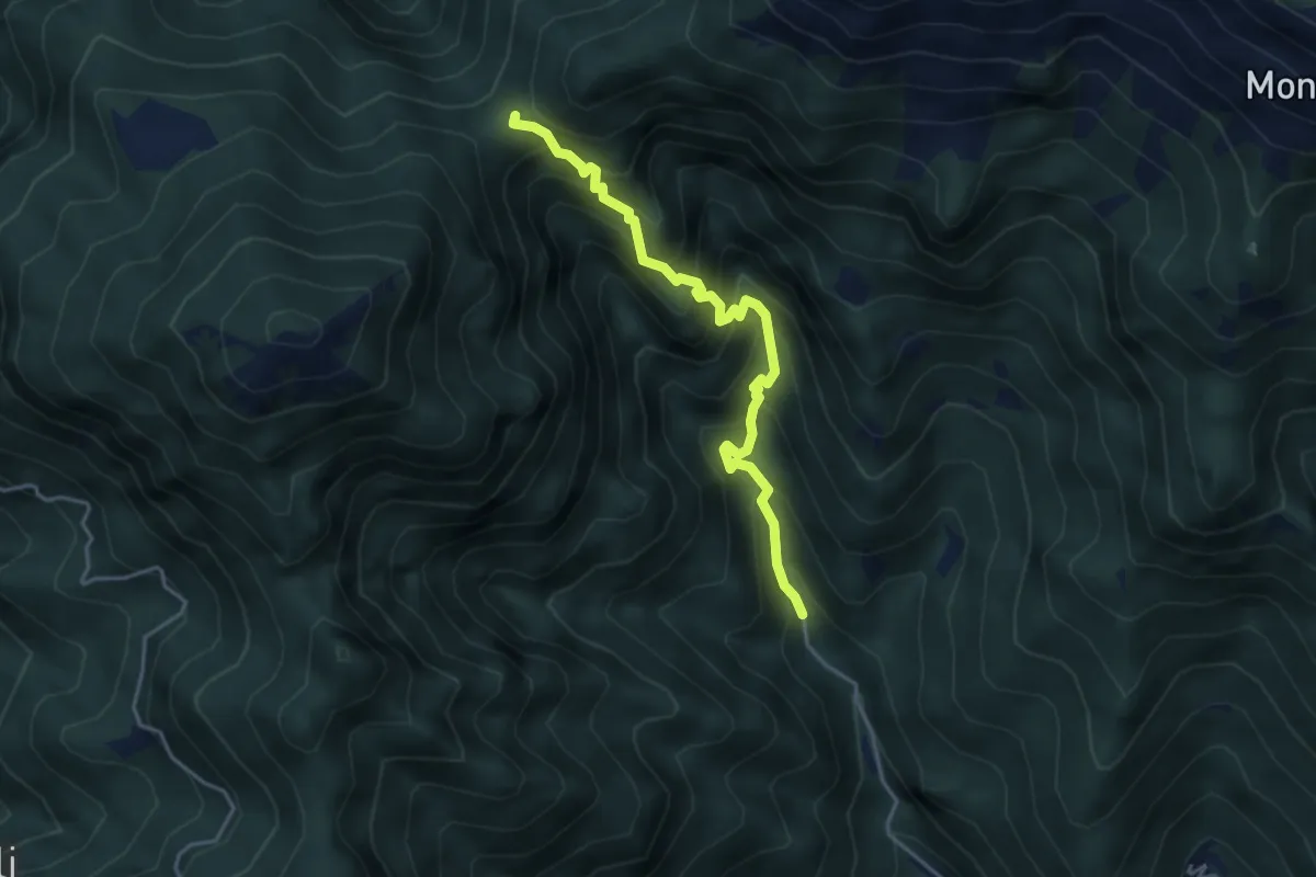
Demanding · Trail
Schievenin - Santa Barbara – Forcella Bassa
4.1 km · ↑ 529 m · 2 h 7 min · 7 km away
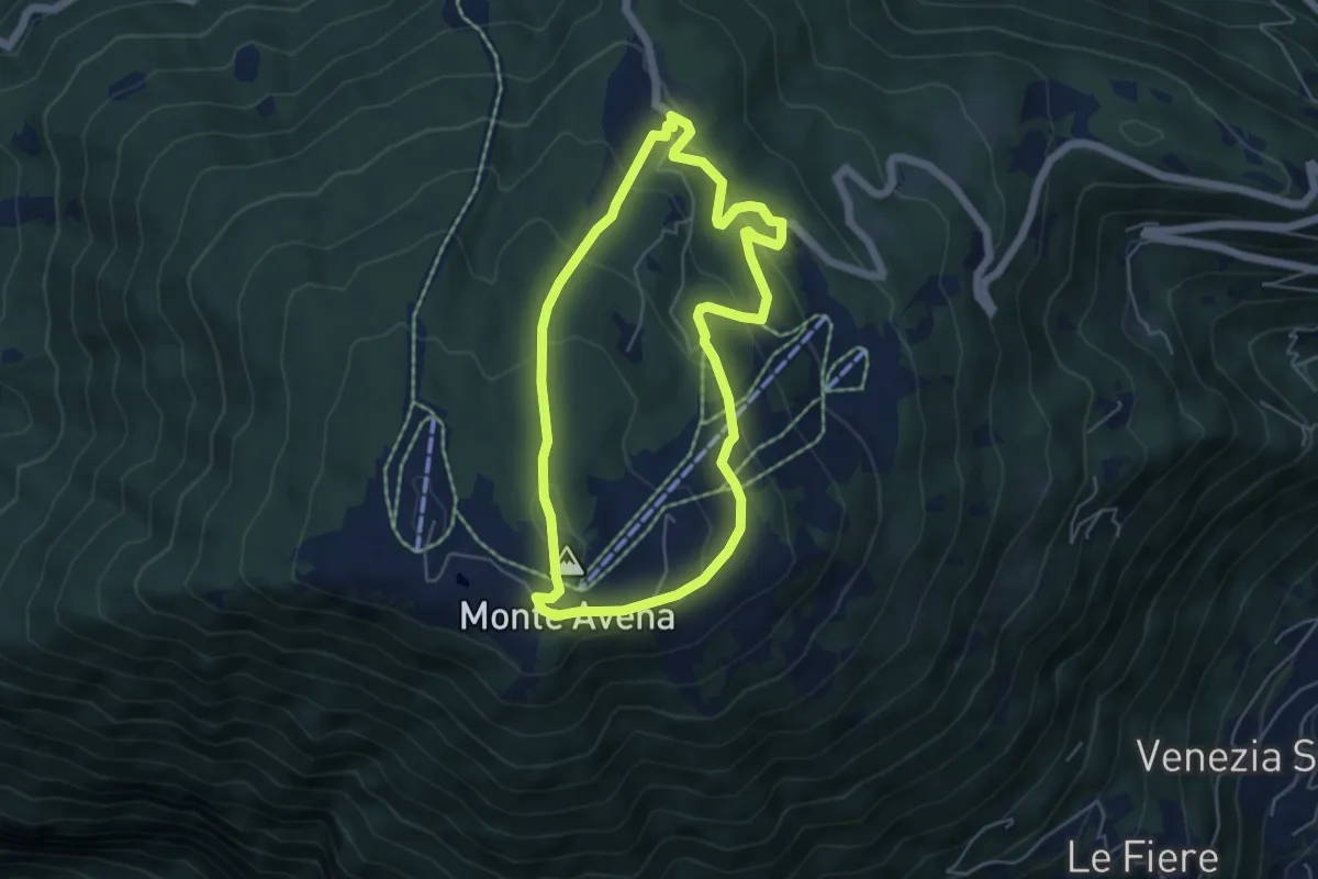
Medium · Summit
Itinerario 11
4.9 km · ↑ 271 m · 1 h 49 min · 7 km away
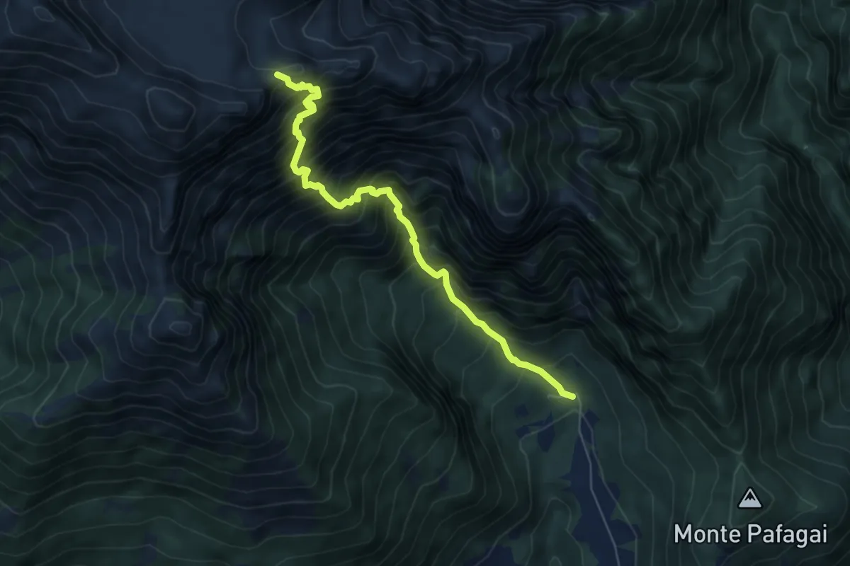
Demanding · Trail
Sentiero del Forzelon
6.3 km · ↑ 1121 m · 3 h 55 min · 7 km away
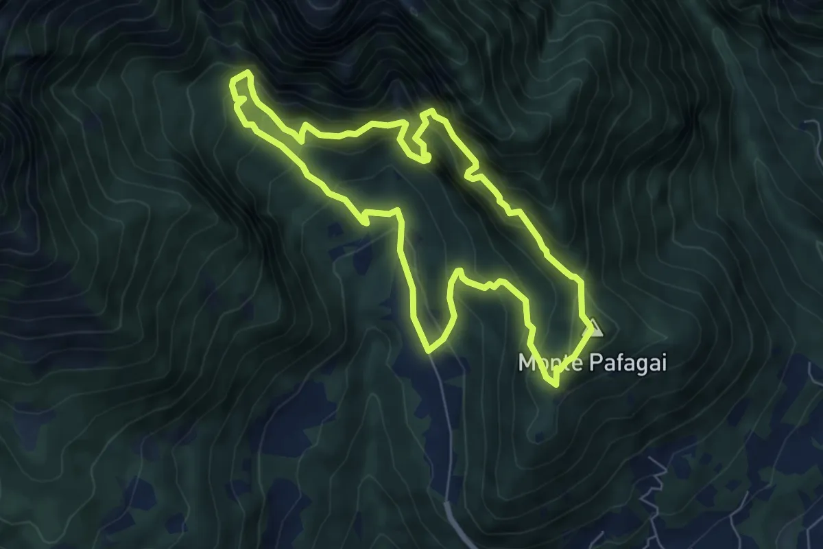
Demanding · Summit
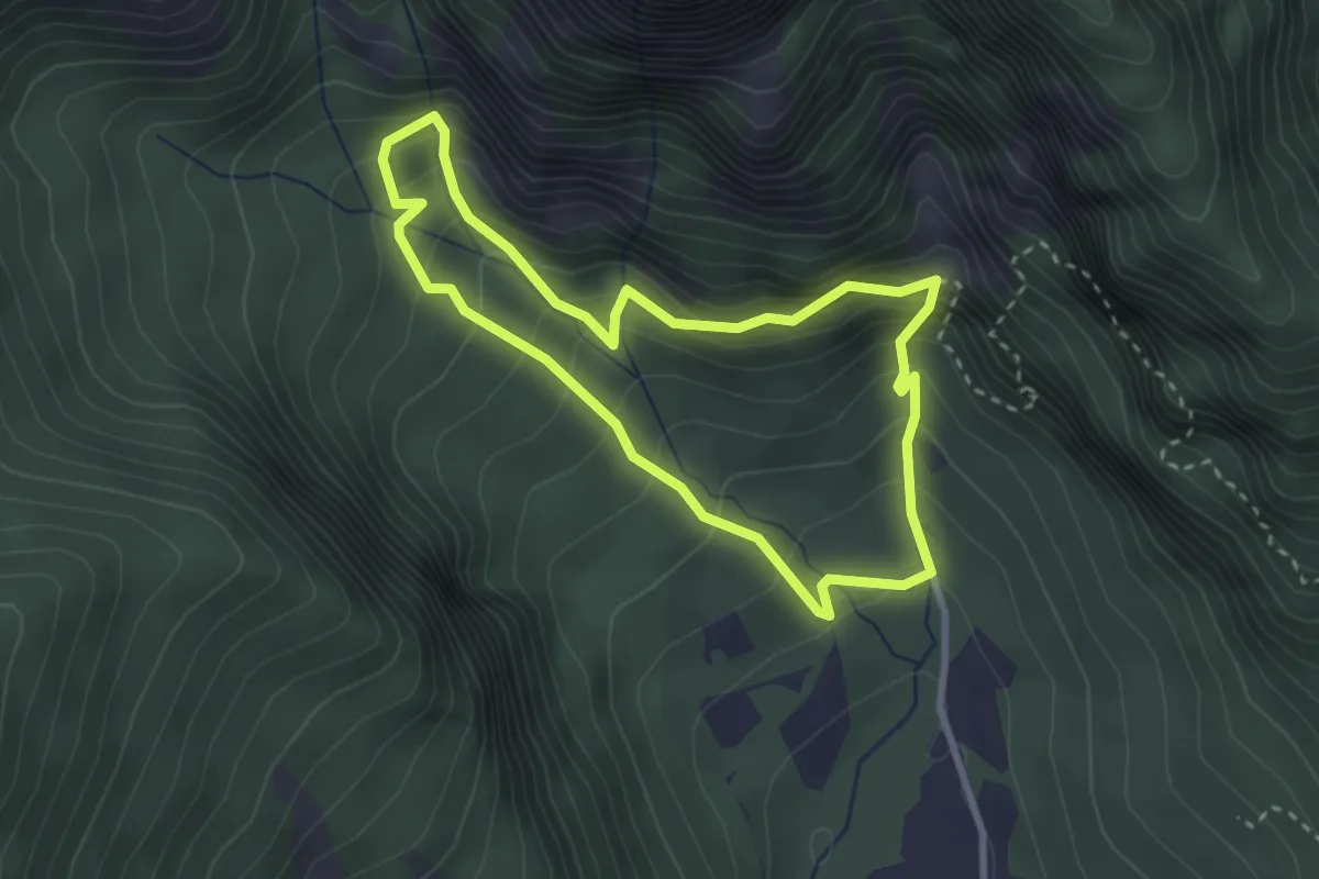
Sentiero dei Covoli in Val Lamen (anello completo)
6.5 km · ↑ 676 m · 3 h 6 min · 7 km away
Medium · Trail
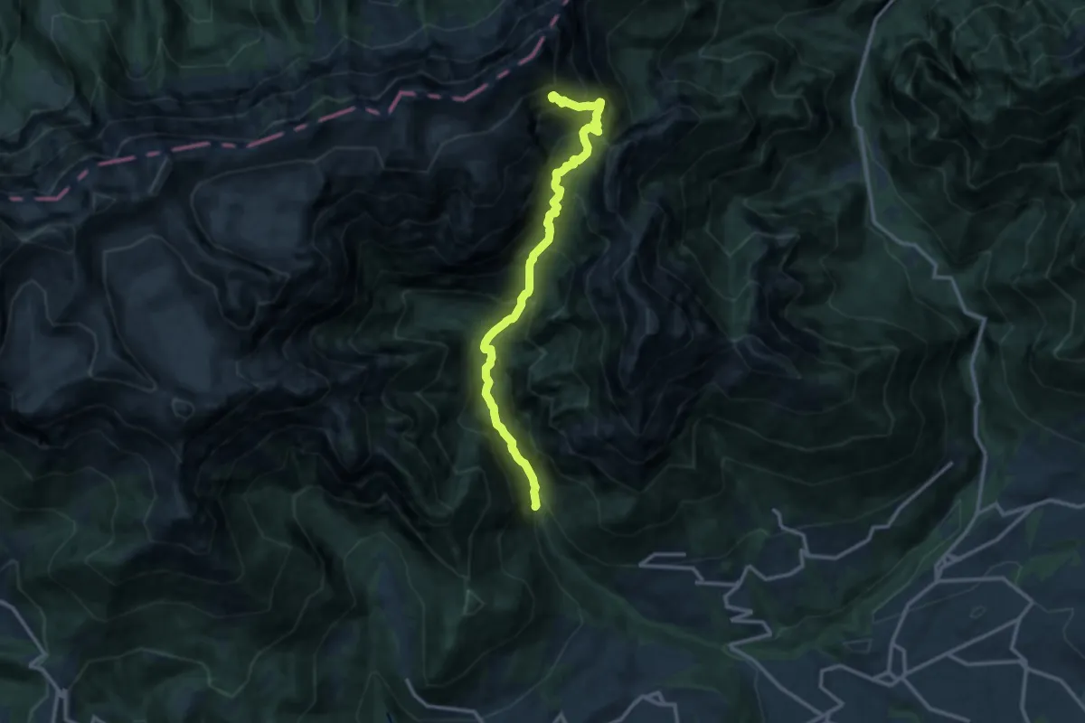
Sentiero dei Covoli in Val Lamen (anello breve)
2.7 km · ↑ 302 m · 1 h 20 min · 7 km away
Demanding · Trail
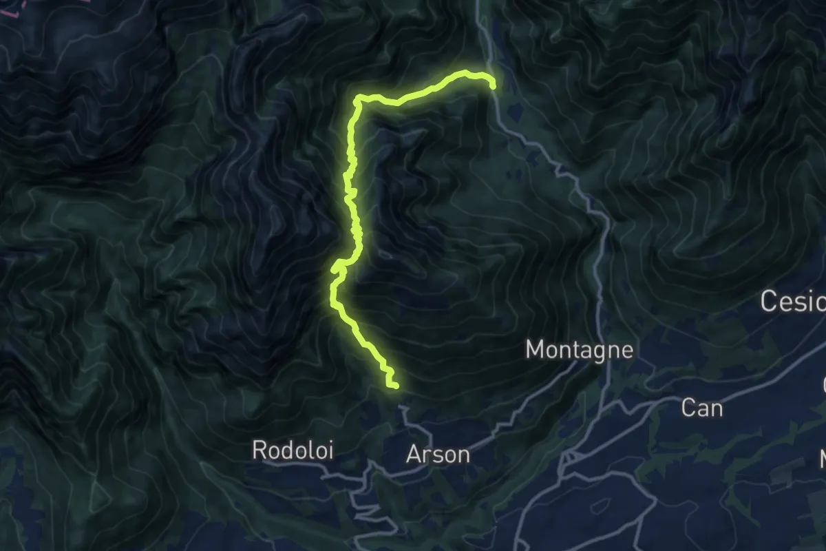
Valle di San Martino - Località Grava Bianca – Bivio Scarnion - inn. sent. 801
12.2 km · ↑ 1495 m · 6 h 7 min · 7 km away
Demanding · Trail
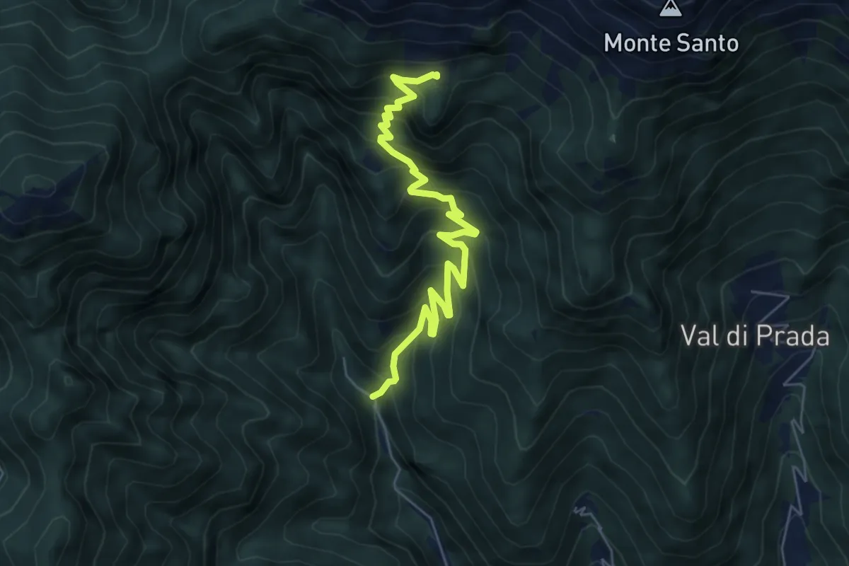
Arsòn ‐ Case al Zot – Val Canzoi ‐ Fràina Bassa ‐ Agrit. Orsèra
12.0 km · ↑ 1600 m · 6 h 18 min · 7 km away
Medium · Trail
Schievenin - Palestra di roccia – Malga Sassumà - inn. sent. 847
6.3 km · ↑ 632 m · 2 h 52 min · 8 km away
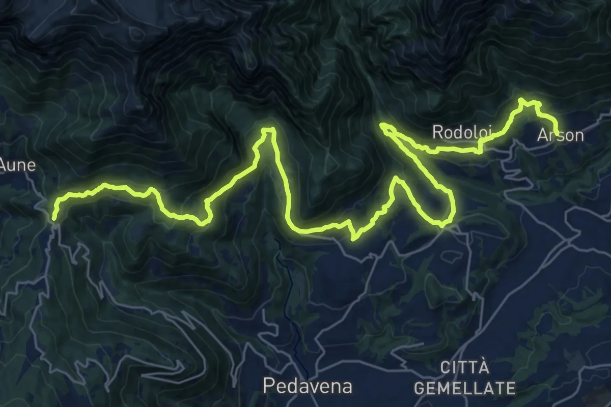
Medium · Pilgrim path
Cammino delle Dolomiti - Tappa 04
16.5 km · ↑ 484 m · 5 h 25 min · 8 km away
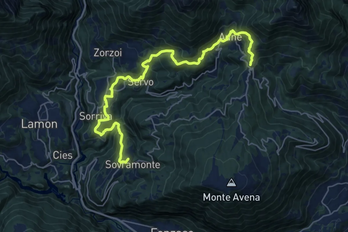
Medium · Summit
Cammino delle Dolomiti - Tappa 03
11.7 km · ↑ 613 m · 4 h 23 min · 8 km away
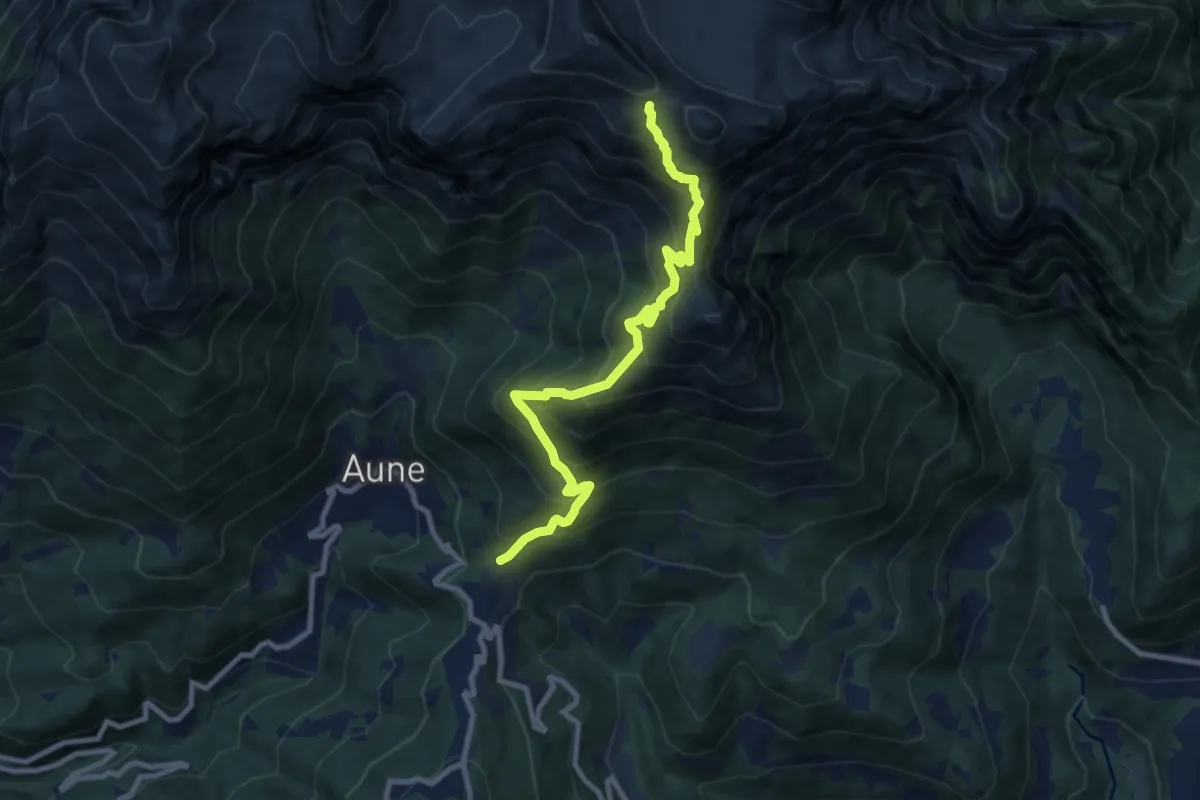
Demanding · Cabin
Dolomites World Heritage Geotrail 33
9.5 km · ↑ 1018 m · 4 h 27 min · 8 km away
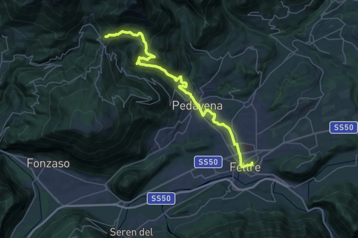
Medium · Trail
Dolomites World Heritage Geotrail 32
12.8 km · ↑ 155 m · 3 h 54 min · 8 km away
Demanding · Trail
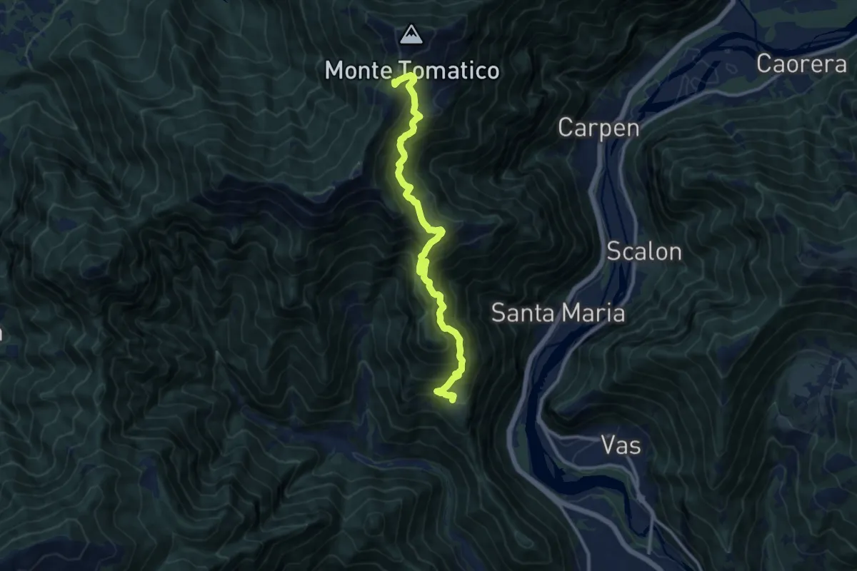
Cilladon – Casere da Ton - Monte Tomatica - innesto sentiero 841
11.3 km · ↑ 1088 m · 5 h 1 min · 8 km away
Medium · Summit
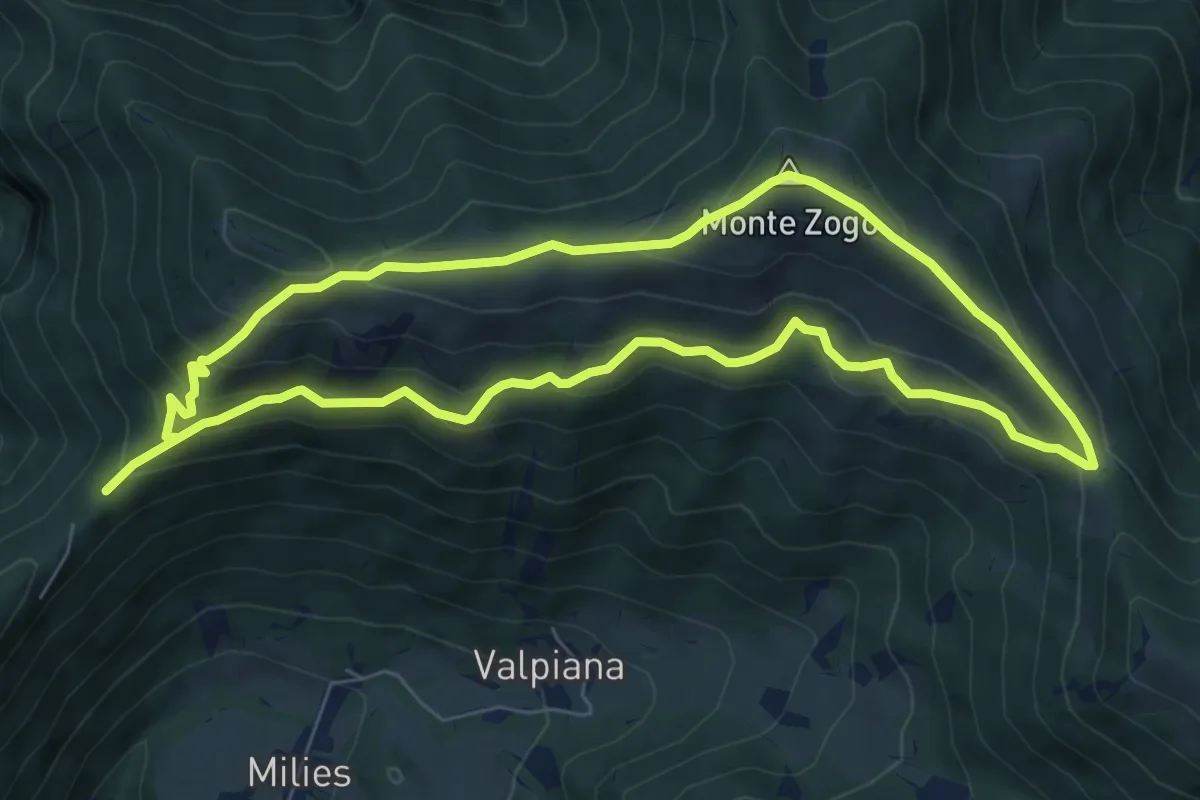
Col da Fi – Col da Fi
6.8 km · ↑ 452 m · 2 h 39 min · 8 km away
Demanding · Trail
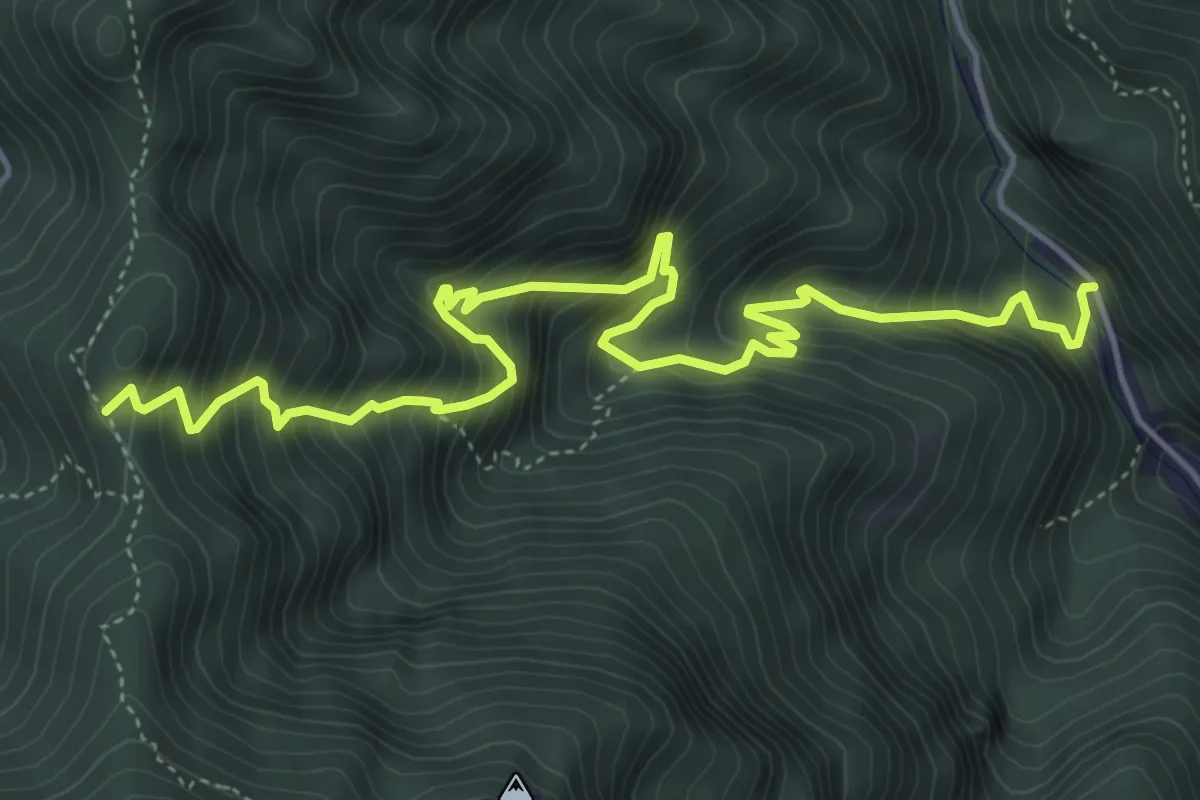
Schievenin - Cava di pietra – Forcella d'Avien - innesto sentiero 843
6.3 km · ↑ 967 m · 3 h 35 min · 8 km away
Medium · Summit
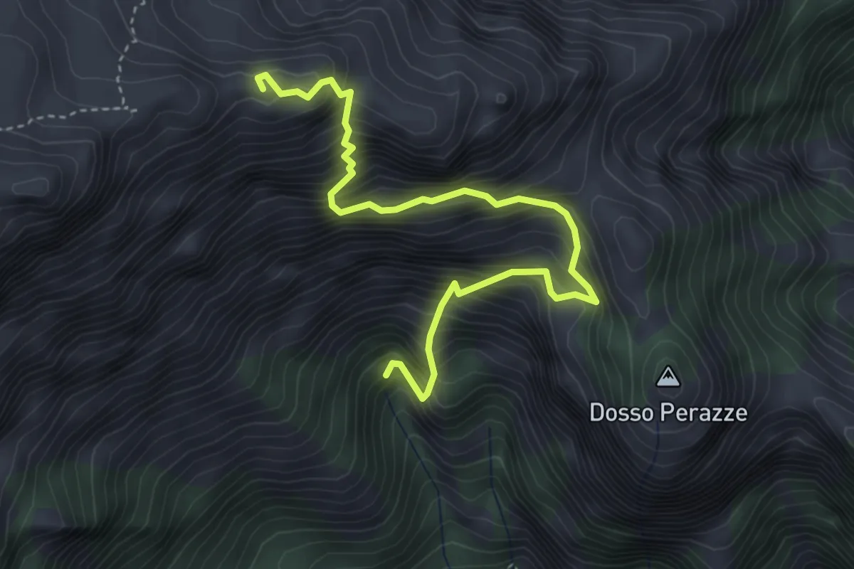
Sentiero della Lasta
4.4 km · ↑ 789 m · 2 h 45 min · 8 km away
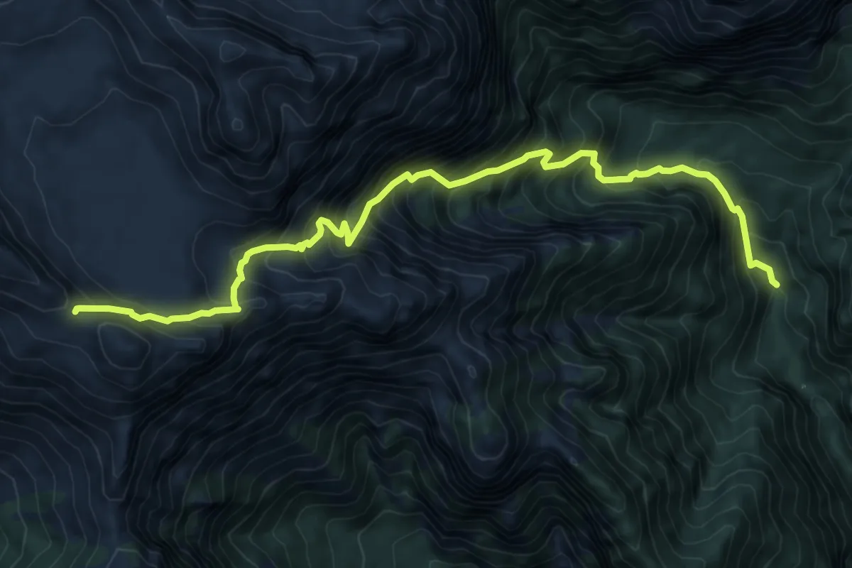
Demanding · Cabin
Valle San Martino-Fornace - da sent. 803 – Passo delle Vette Grandi
9.7 km · ↑ 1312 m · 5 h 7 min · 8 km away
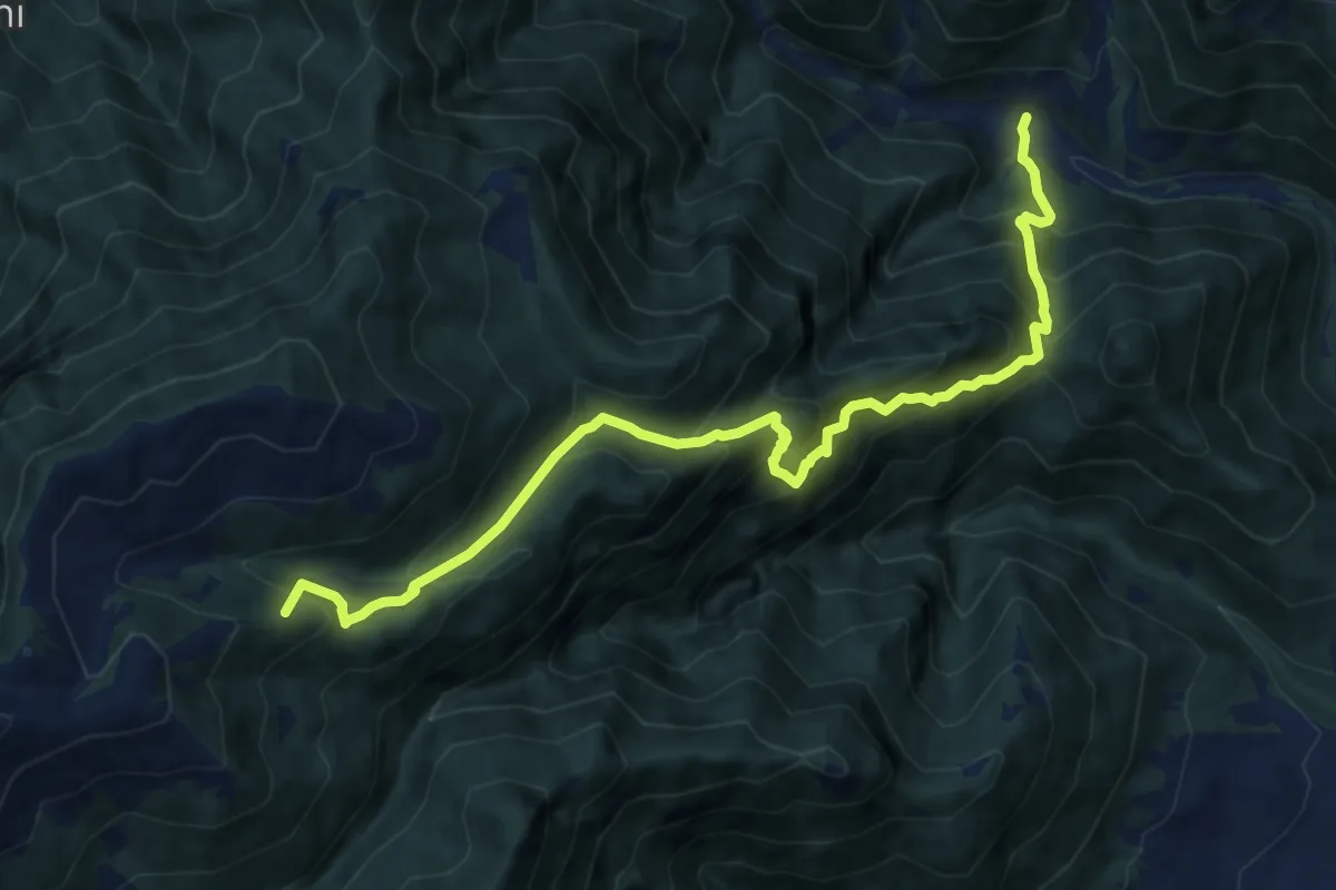
Demanding · Summit
Schievenin - case sul Tegorzo – Stalle Fontanasecca - inn. sent. 843
11.3 km · ↑ 1302 m · 5 h 30 min · 9 km away
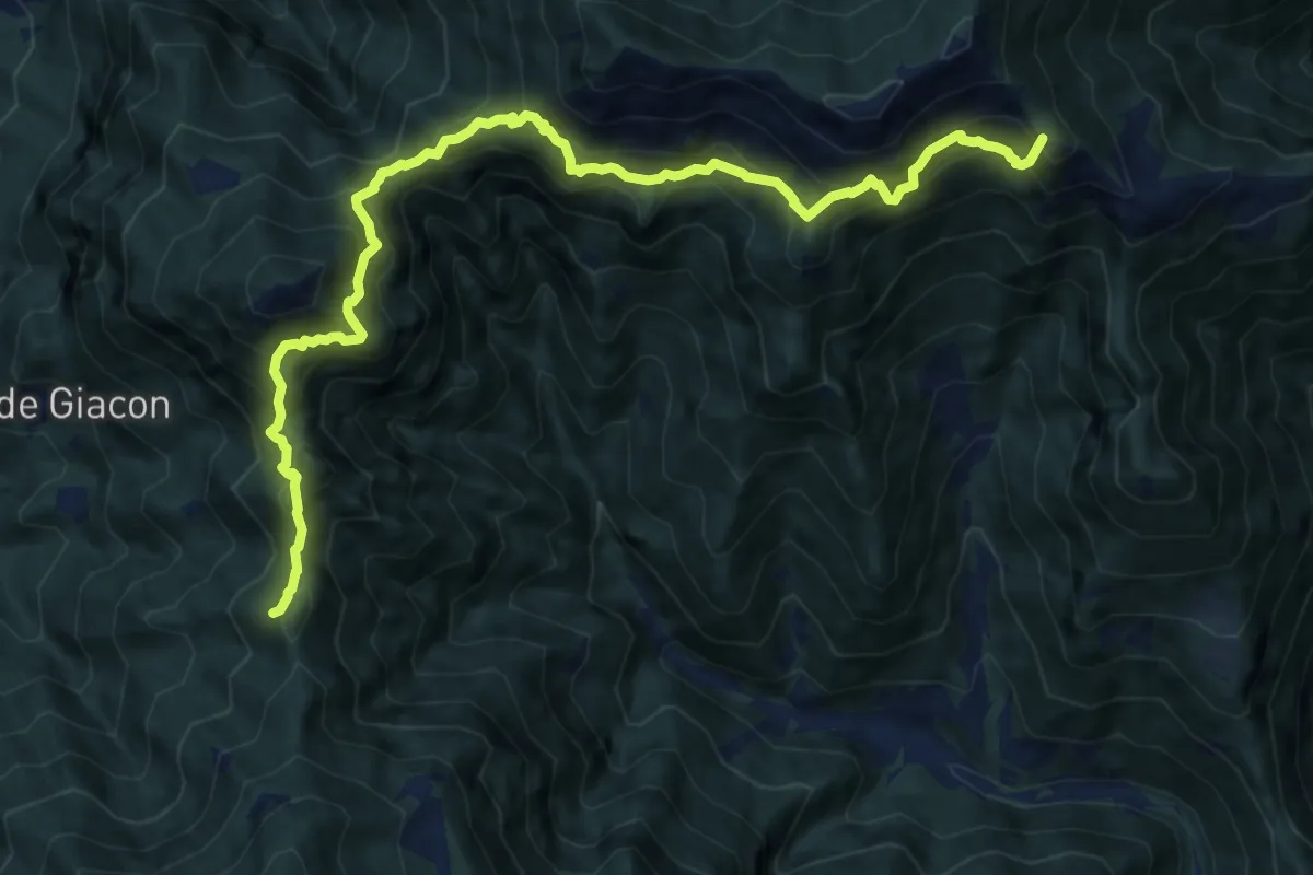
Demanding · Summit
Stalle Pàoda - da sent.. 844 – sotto Forcella d'Avien - innesto sentiero 843
13.1 km · ↑ 1482 m · 6 h 18 min · 9 km away
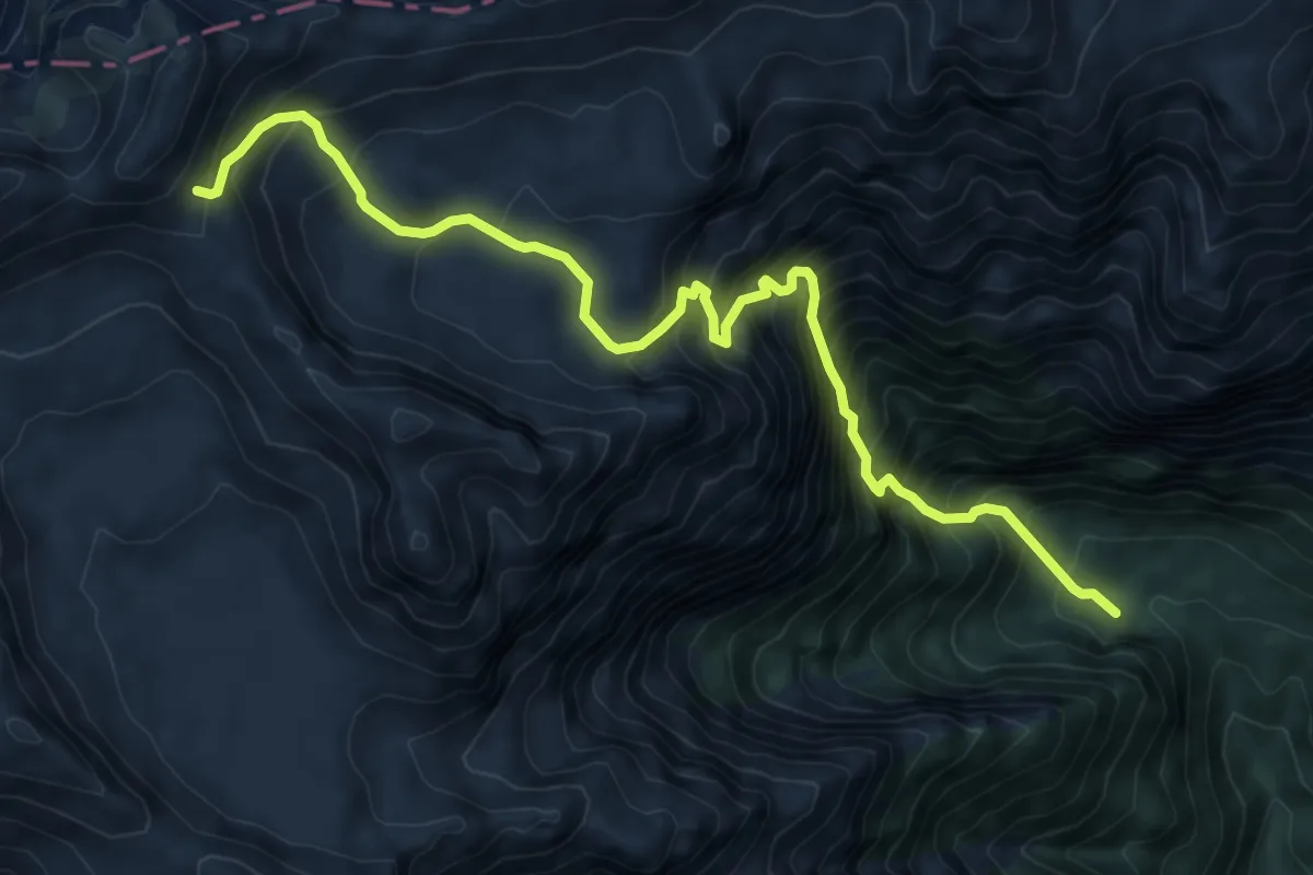
Demanding · Trail
Pian dei Violini - da sent. 812 – nei pressi passo Pietena - inn. sent. 801
9.0 km · ↑ 1350 m · 5 h 3 min · 9 km away
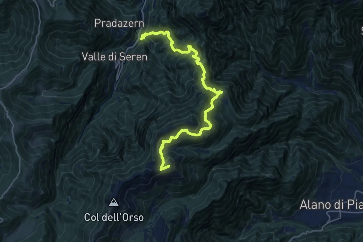
Demanding · Summit
Ponte Avien – Monte Valderoa
17.7 km · ↑ 1612 m · 7 h 41 min · 9 km away
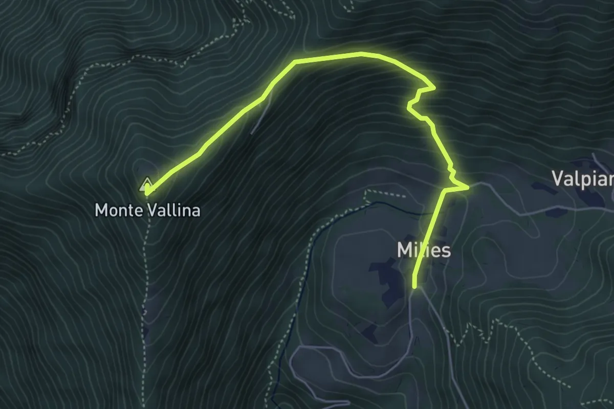
Medium · Summit
Segusino Riva Grassa – Milies
5.4 km · ↑ 390 m · 2 h 7 min · 9 km away
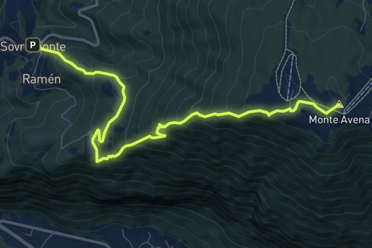
Medium · Summit
Cammino delle Dolomiti - Tappa 02
5.0 km · ↑ 769 m · 2 h 34 min · 10 km away
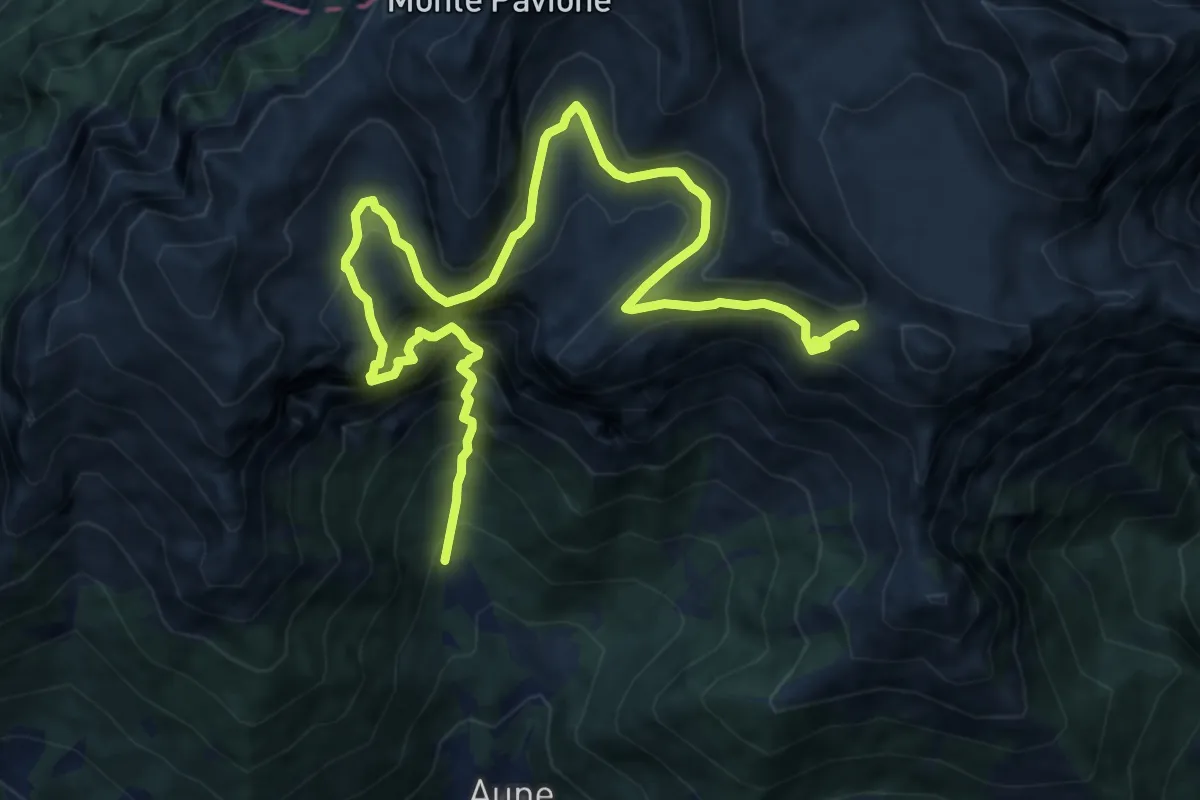
Demanding · Cabin
Sentiero di Sant'Antonio
14.6 km · ↑ 1607 m · 6 h 55 min · 10 km away
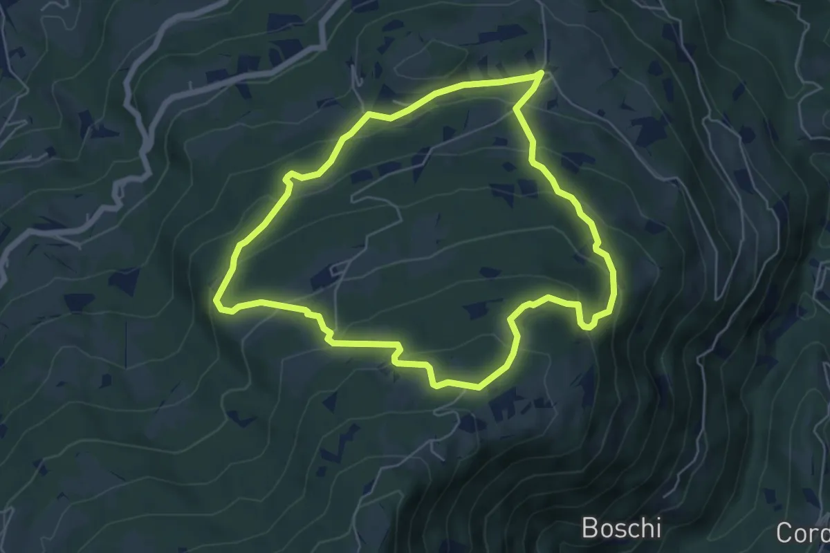
Easy · Trail
sentiero natura San Gervasio e Pian de Coltura
5.6 km · ↑ 315 m · 2 h 5 min · 10 km away
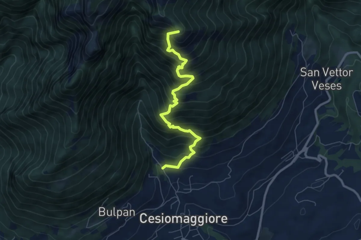
Demanding · Summit
Sentiero Escursionistico Corrado De Bastiani
6.7 km · ↑ 905 m · 3 h 32 min · 11 km away
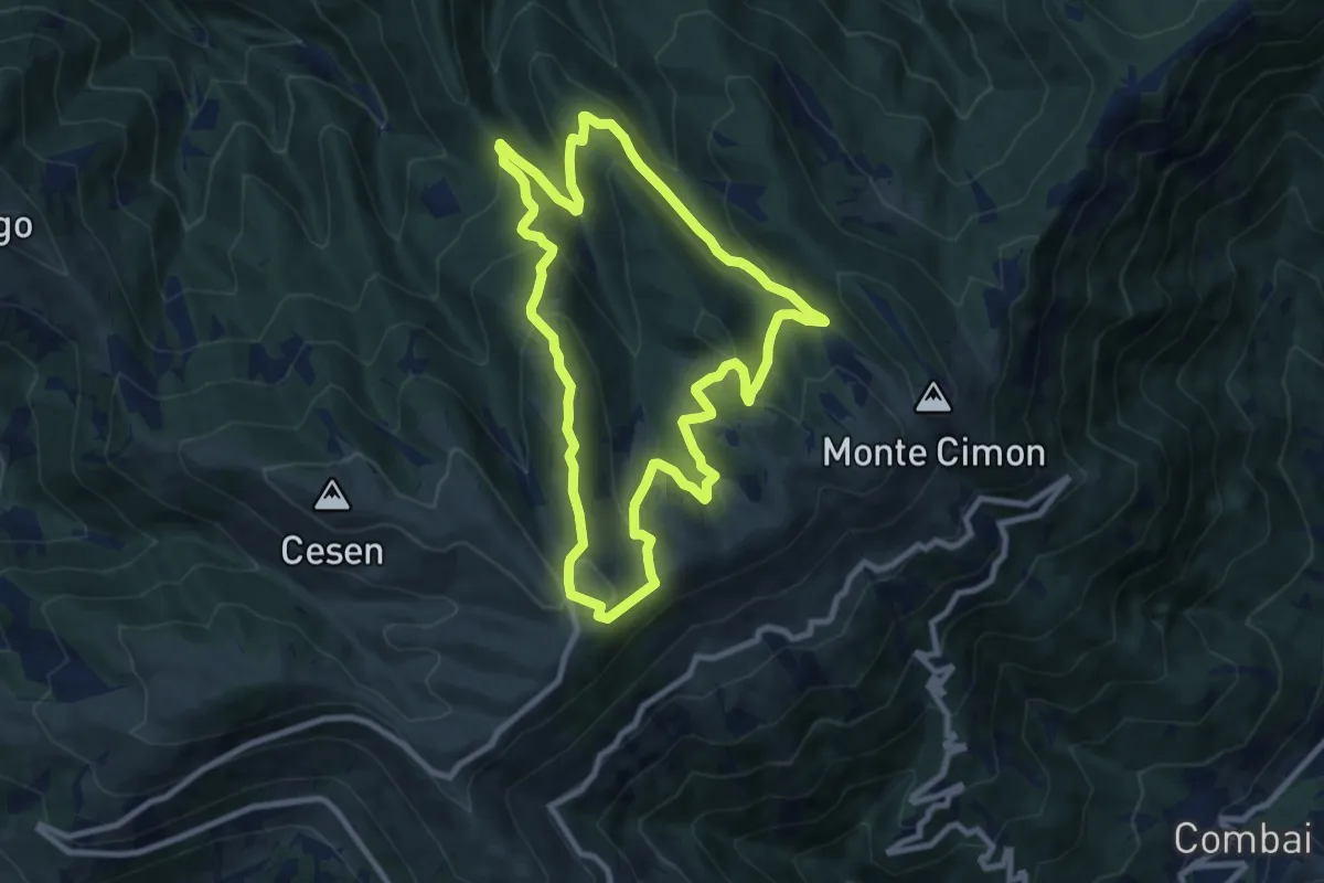
Medium · Trail
1011 Anello di Mariech
9.0 km · ↑ 454 m · 3 h 14 min · 11 km away
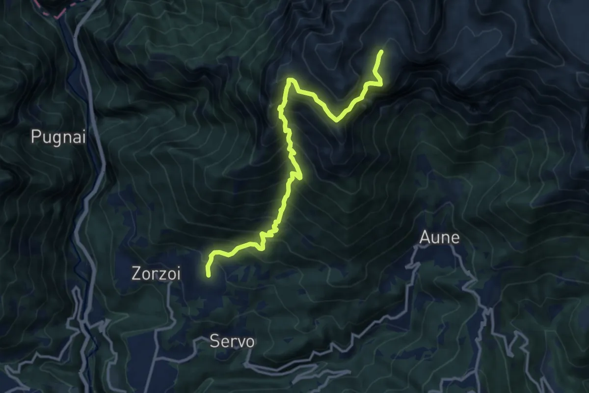
Demanding · Cabin
Zorzoi - Col dei Mich – Malga Monsampiàn - inn. sent. 810 e 817
12.2 km · ↑ 1692 m · 6 h 33 min · 11 km away
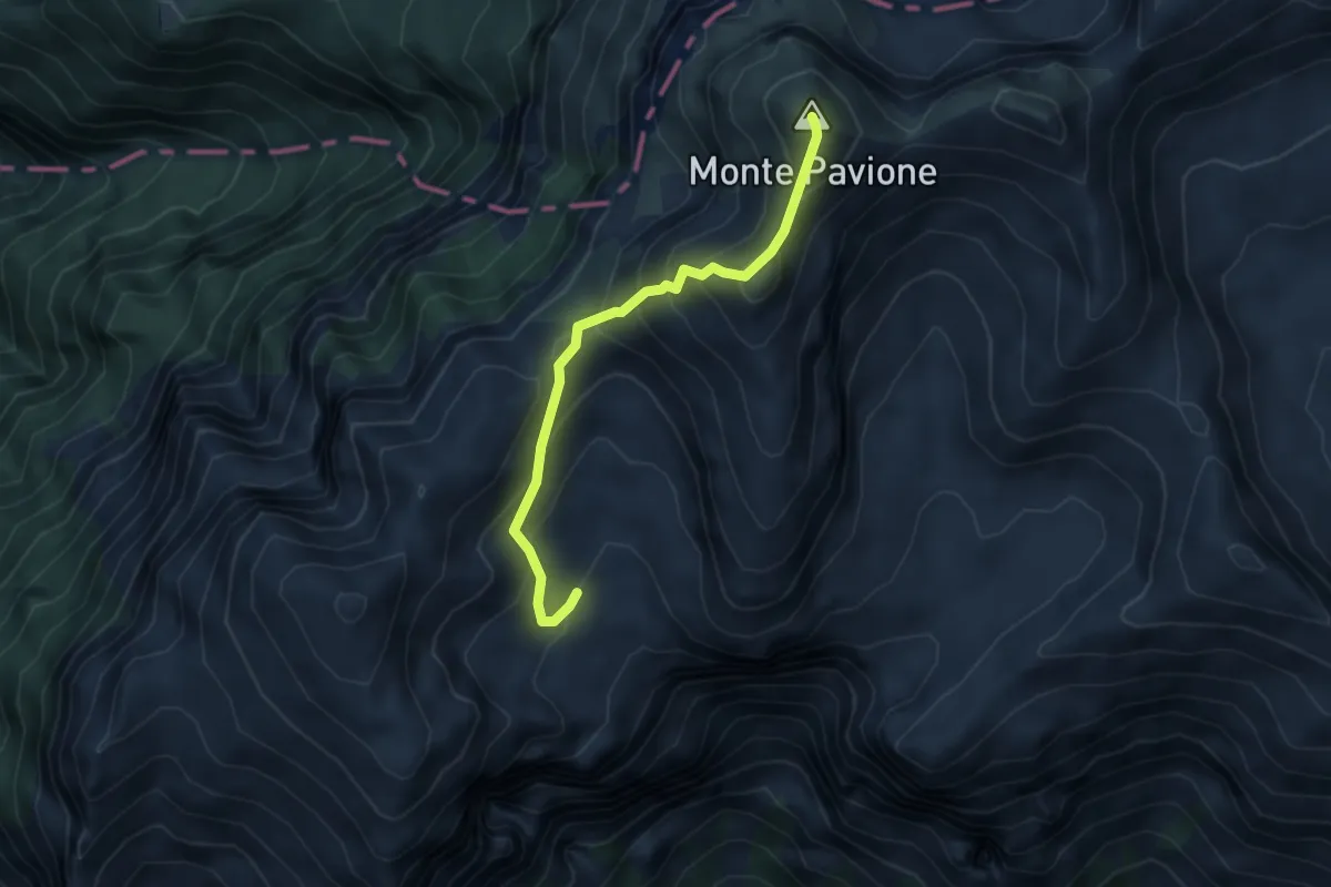
Expert · Summit
Passo delle Vette Grandi – Malga Monsampiàn - inn. sent. 810 e 818
4.4 km · ↑ 406 m · 1 h 54 min · 11 km away
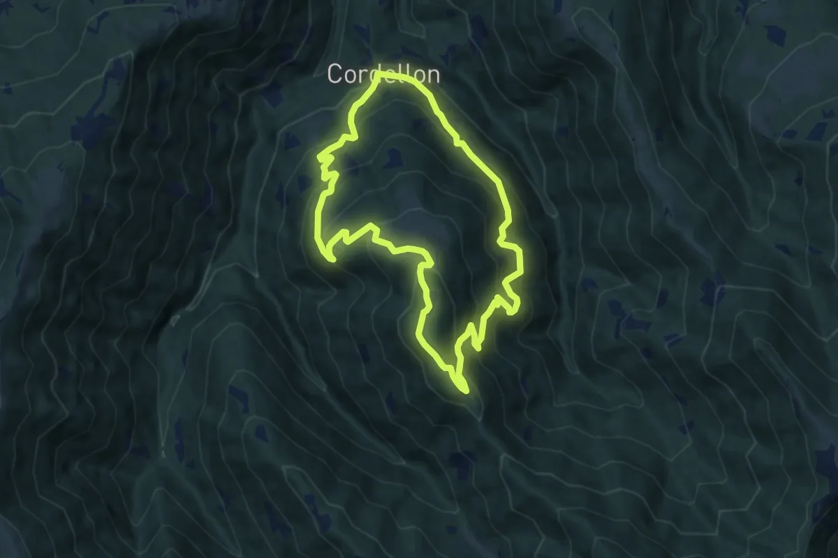
Medium · Summit
Cordellon – Cordellon
8.3 km · ↑ 644 m · 3 h 28 min · 11 km away
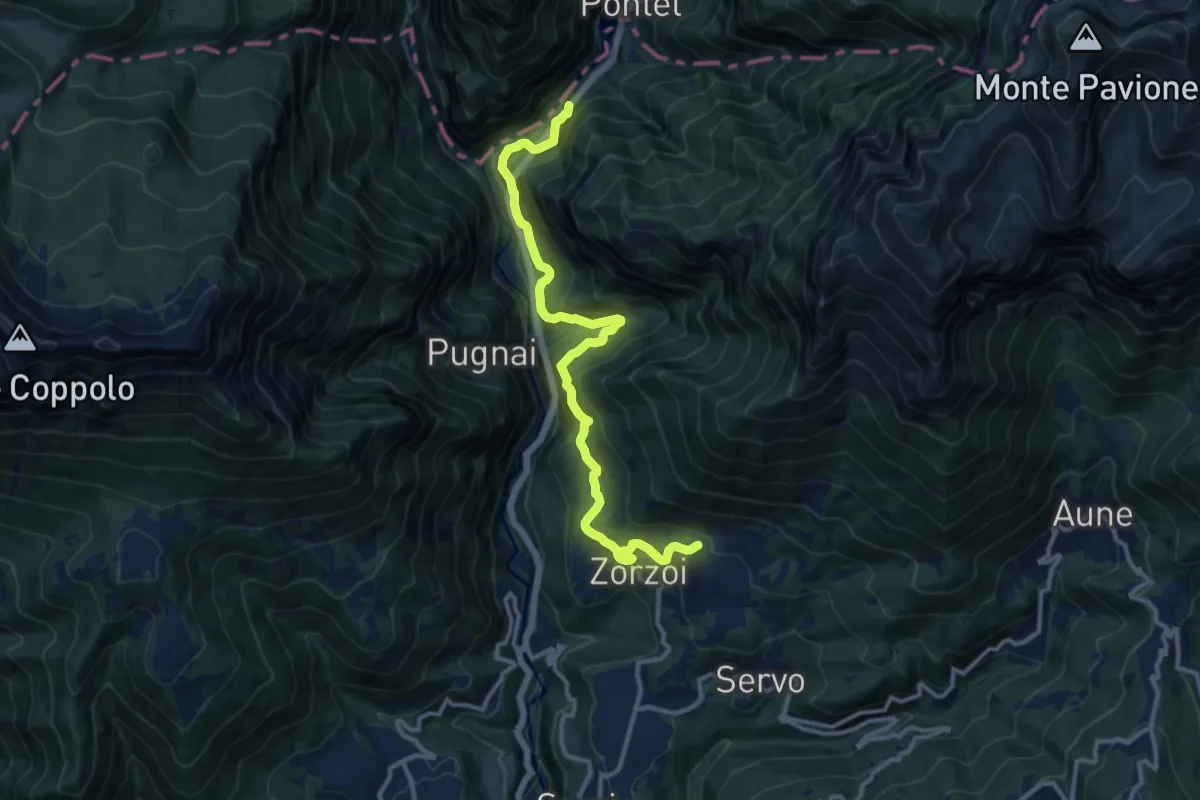
Expert · Trail
Via di Schenèr
12.8 km · ↑ 1058 m · 5 h 19 min · 11 km away
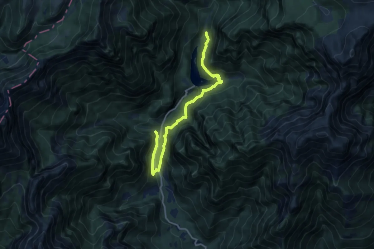
Medium · Trail
Sentiero Natura Val Canzoi
10.1 km · ↑ 600 m · 3 h 42 min · 12 km away
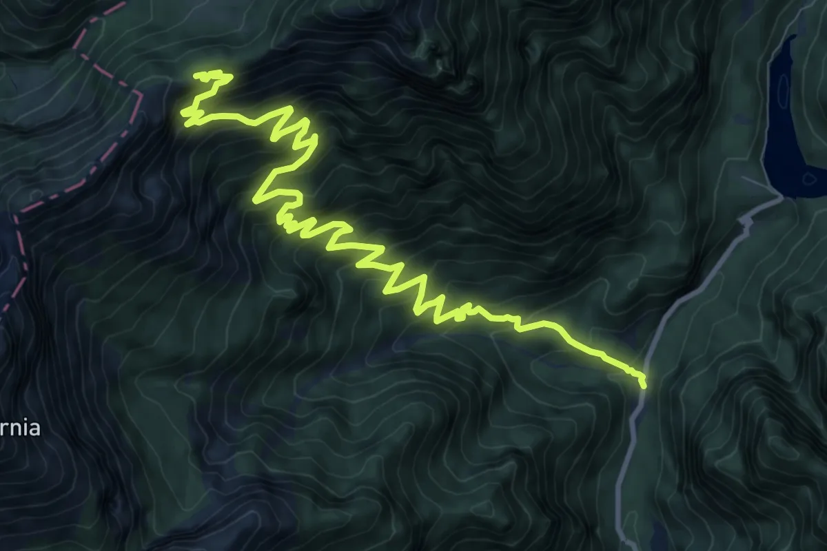
Demanding · Trail
Val Canzoi - centrale Enel – Passo Finestra - innesto percorso 801
13.0 km · ↑ 1193 m · 5 h 40 min · 12 km away
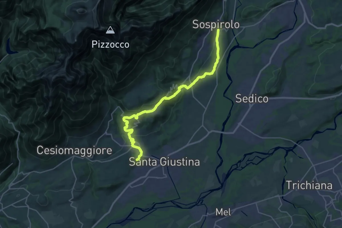
Medium · Pilgrim path
Cammino delle Dolomiti - Tappa 06
11.1 km · ↑ 303 m · 3 h 24 min · 12 km away
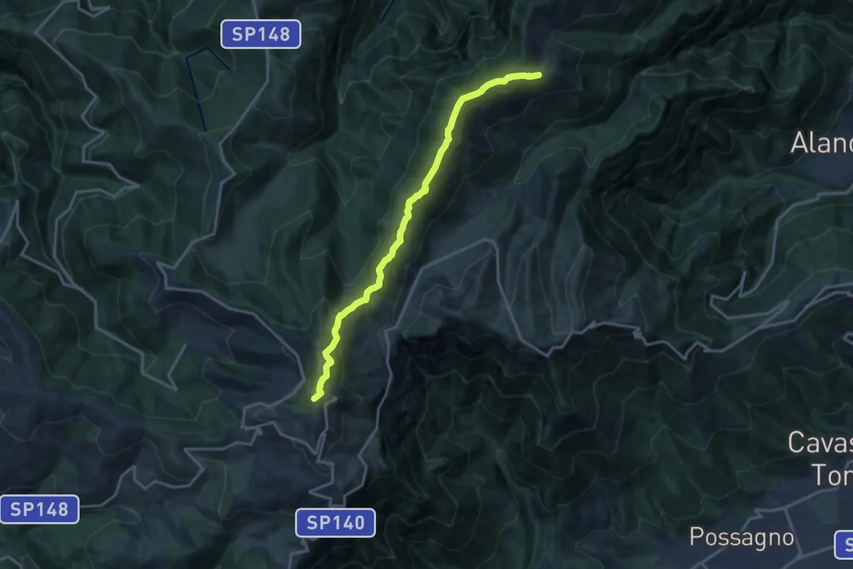
Medium · Summit
Rifugio Bassano – M. Valderoa - innesto sentiero 843
13.5 km · ↑ 711 m · 4 h 44 min · 12 km away
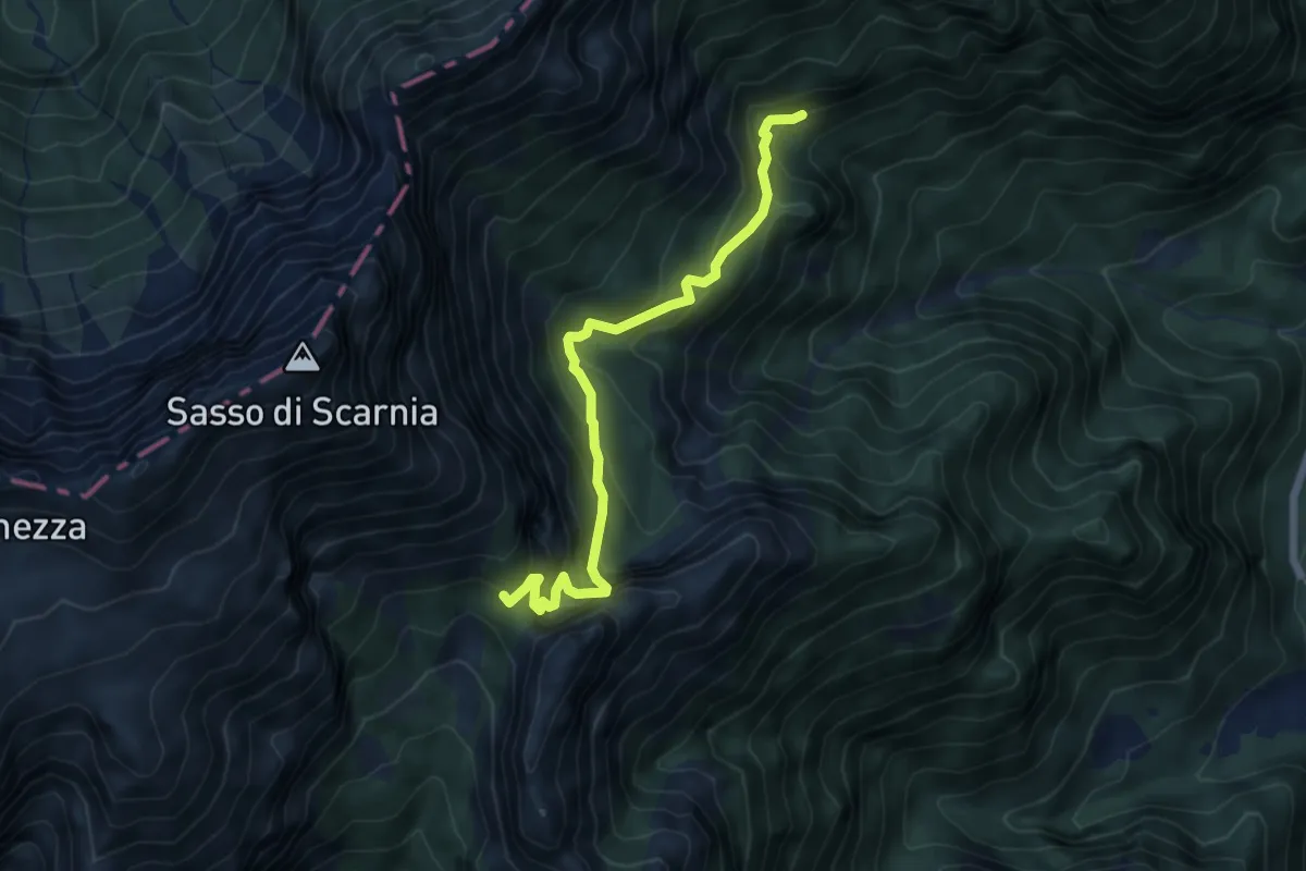
Medium · Trail
Valle delle Grave - bivio Col d'Istiaga - – Forcella Scarnia - innesto percorso 803
5.7 km · ↑ 496 m · 2 h 26 min · 12 km away
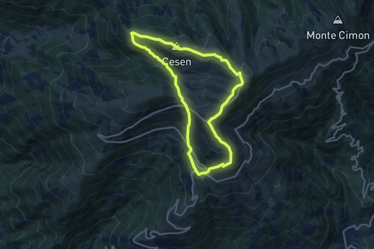
Medium · Summit
1008 Anello del Cesen
8.6 km · ↑ 641 m · 3 h 32 min · 13 km away
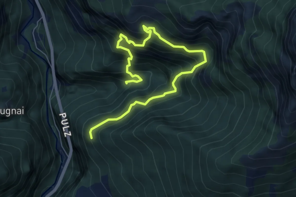
Demanding · Trail
Viaz del Tavernaz
7.3 km · ↑ 1189 m · 4 h 18 min · 13 km away
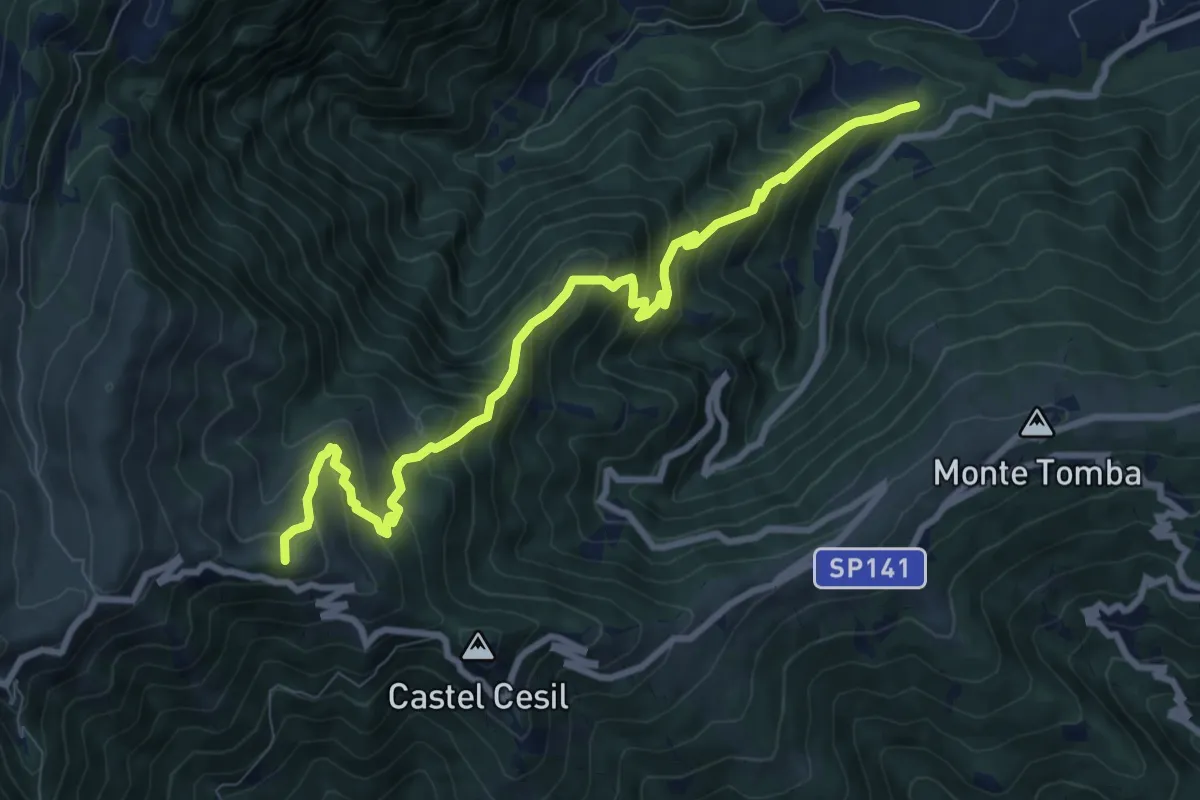
Demanding · Summit
Alano - Le Marche – Monte Piz
9.7 km · ↑ 938 m · 4 h 19 min · 13 km away
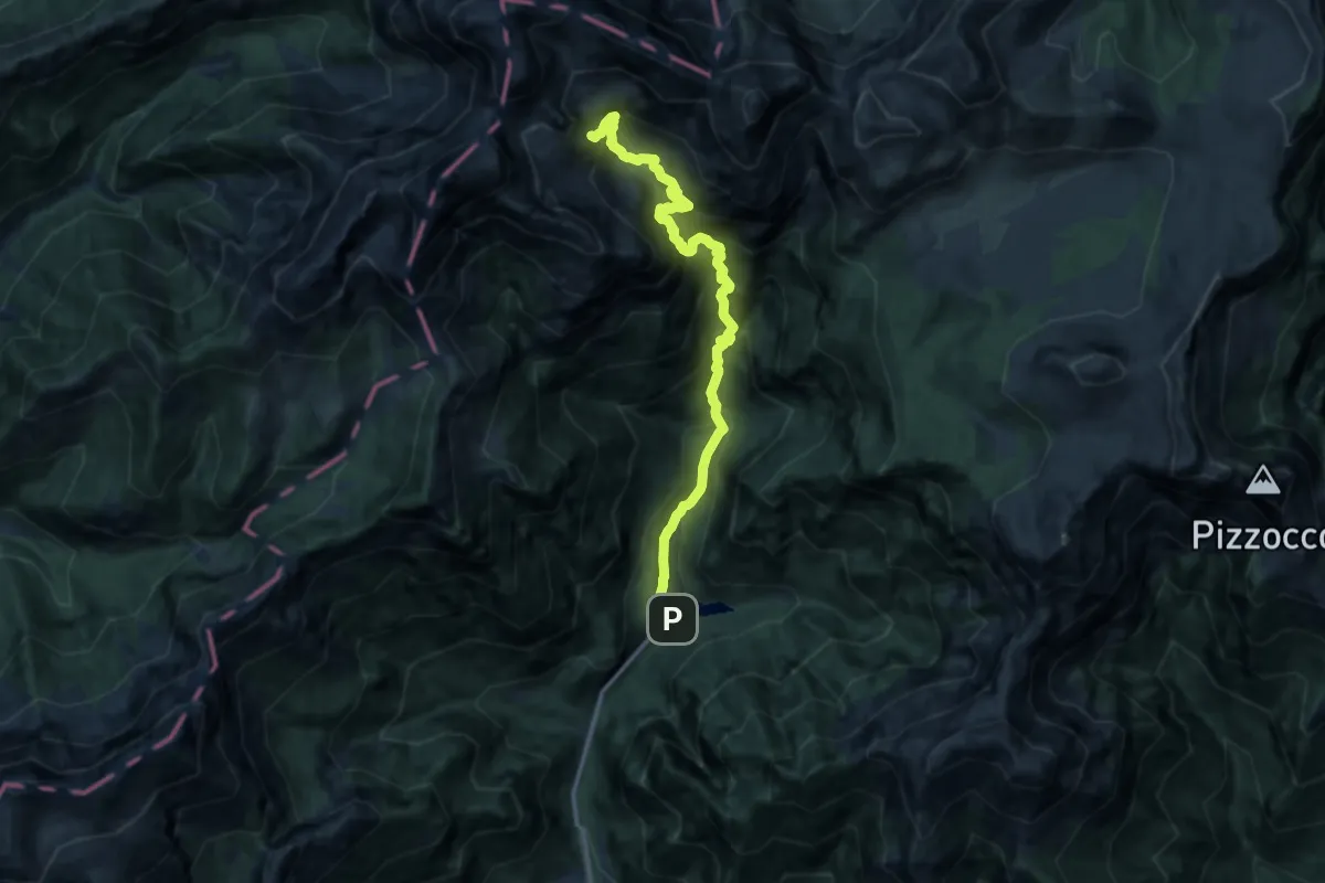
Demanding · Trail
Val Canzoi - Lago della Stua – Cresta Col del Mul - innesto sentiero 801
12.8 km · ↑ 1403 m · 6 h 3 min · 13 km away