Trails near Fiano Romano
43 hikes starting within 15 km, nearest first.
Nearest first
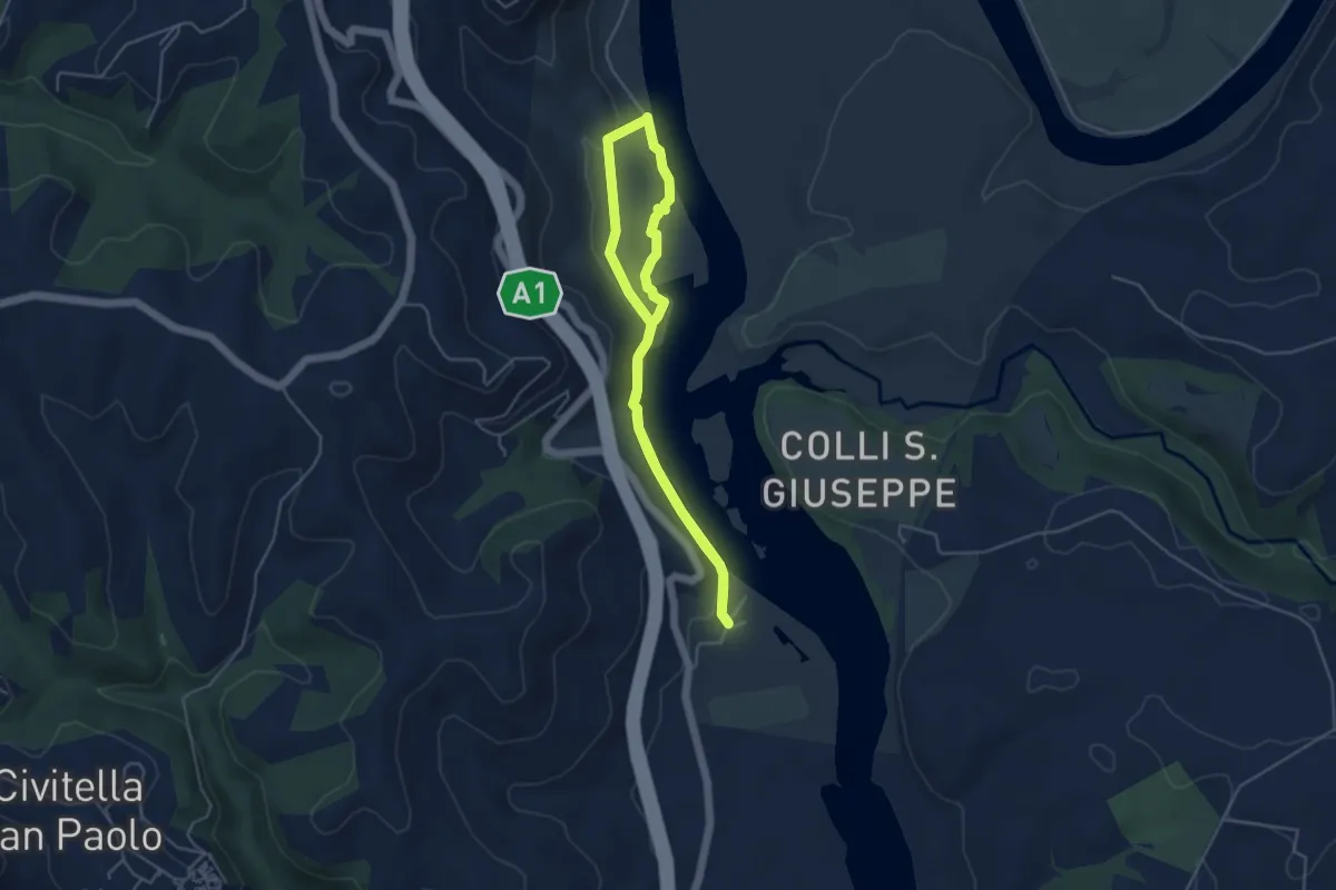
Easy · Trail
Sentiero della Fornace
4.3 km · ↑ 69 m · 1 h 14 min · 5 km away
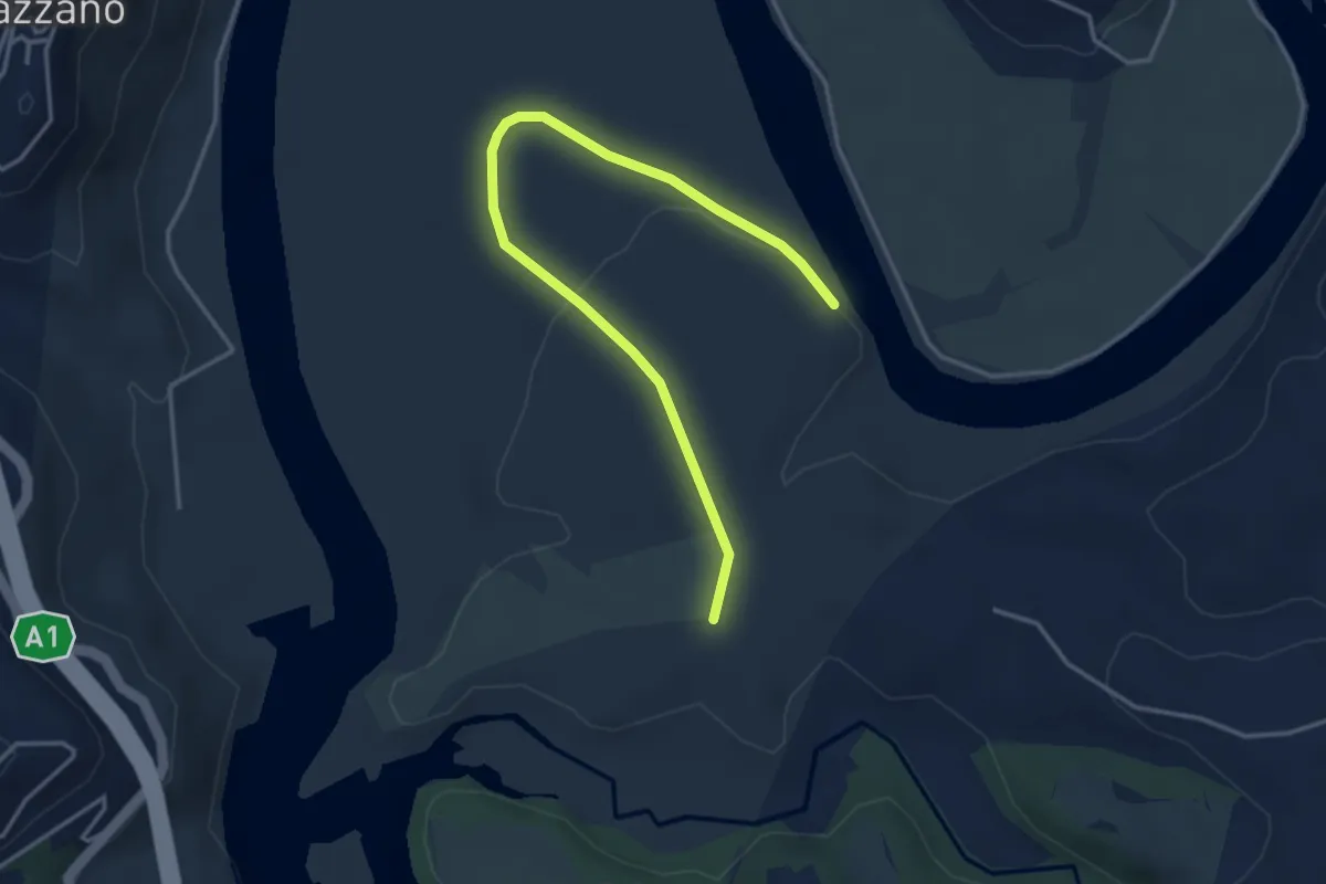
Easy · Trail
Bivio inferiore sent. 391 – Bivio superiore sent. 391
4.5 km · ↑ 33 m · 1 h 8 min · 6 km away
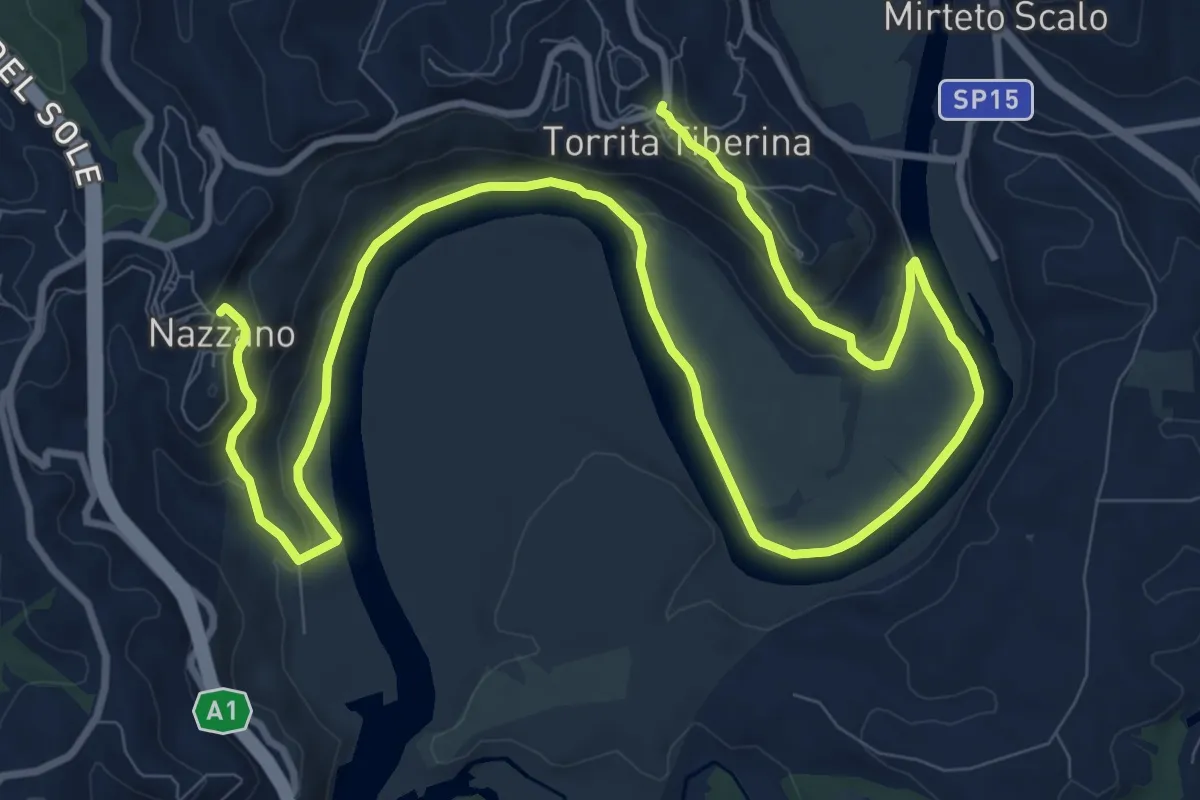
Medium · Trail
Nazzano Via F. Cavalletti – Torrita Tiberina Borgo del Popolo - SP15a
17.2 km · ↑ 400 m · 4 h 55 min · 6 km away
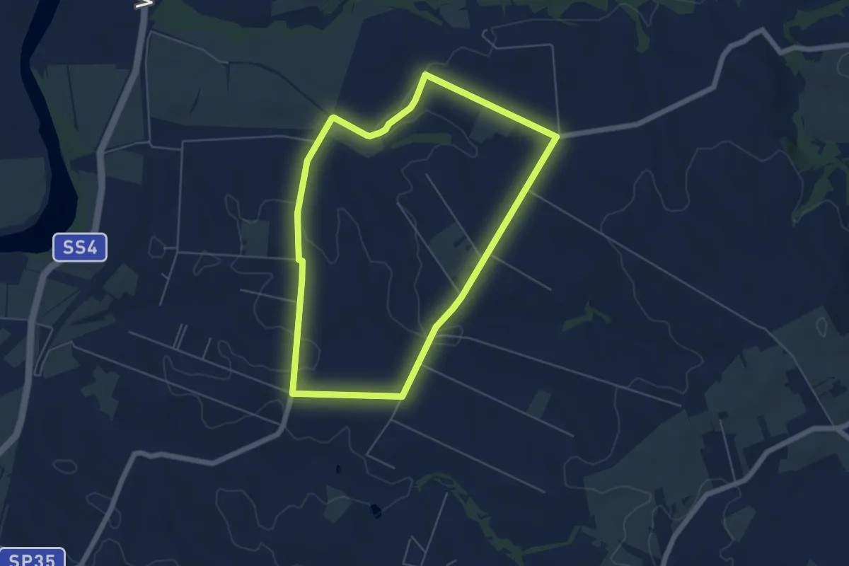
Easy · Trail
Percorso dei Cavalli Bianchi
5.8 km · ↑ 61 m · 1 h 35 min · 8 km away
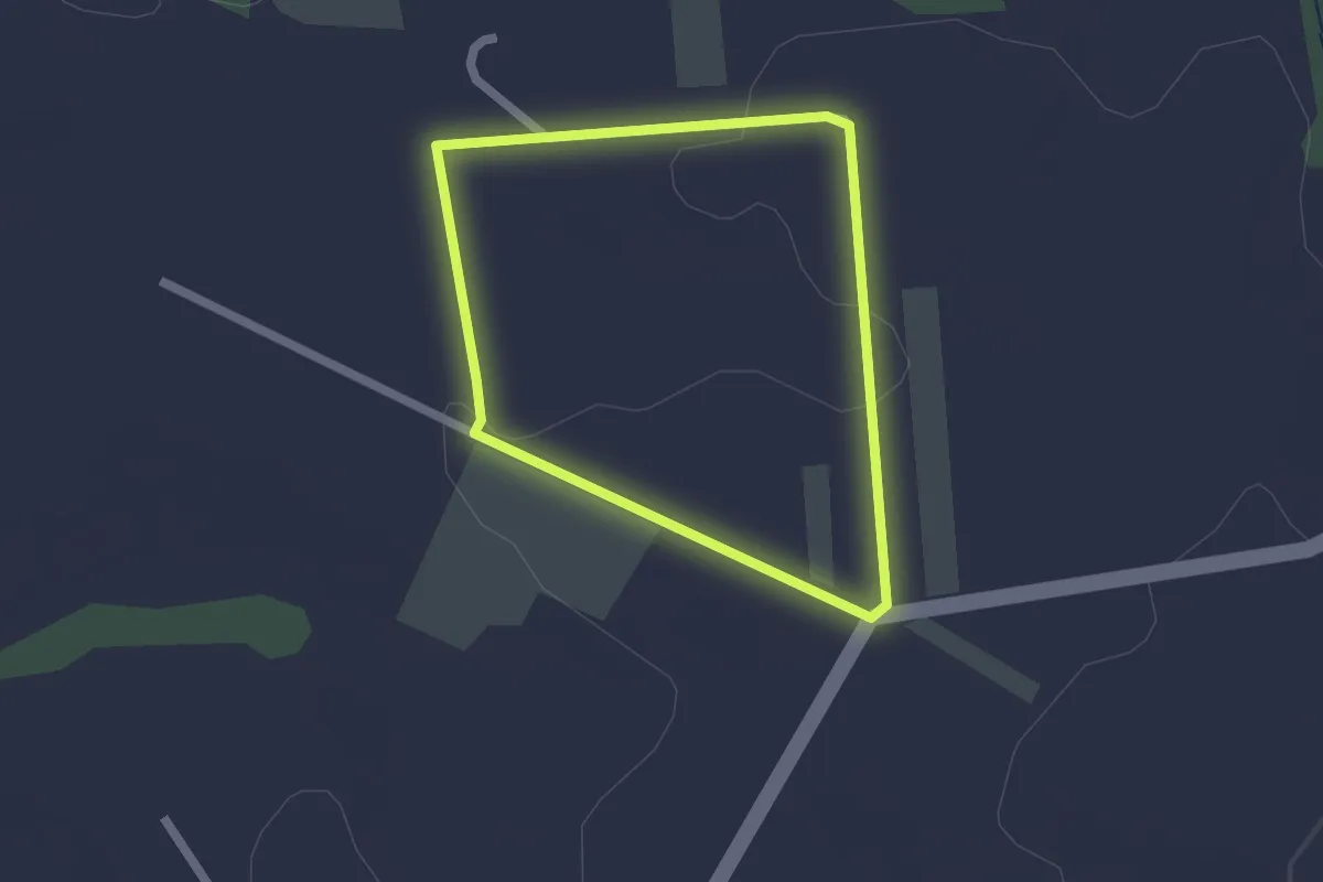
Easy · Trail
Percorso dei Salici
1.8 km · ↑ 23 m · 30 min · 8 km away
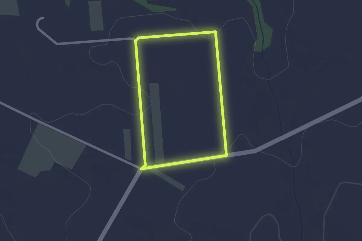
Easy · Trail
Percorso del Miele
1.8 km · ↑ 22 m · 30 min · 8 km away
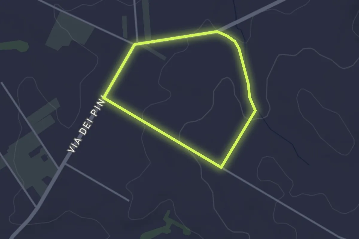
Easy · Trail
Percorso del Garibaldino
2.6 km · ↑ 47 m · 45 min · 9 km away
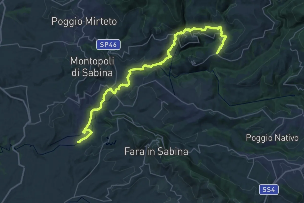
Medium · Trail
Media Valle del Farfa
14.1 km · ↑ 503 m · 4 h 29 min · 9 km away
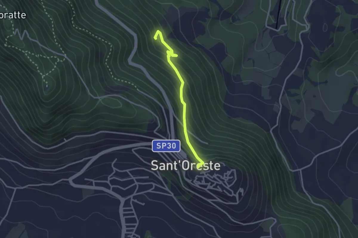
Easy · Trail
Santa Romana e dei Meri
2.6 km · ↑ 193 m · 1 h 2 min · 9 km away
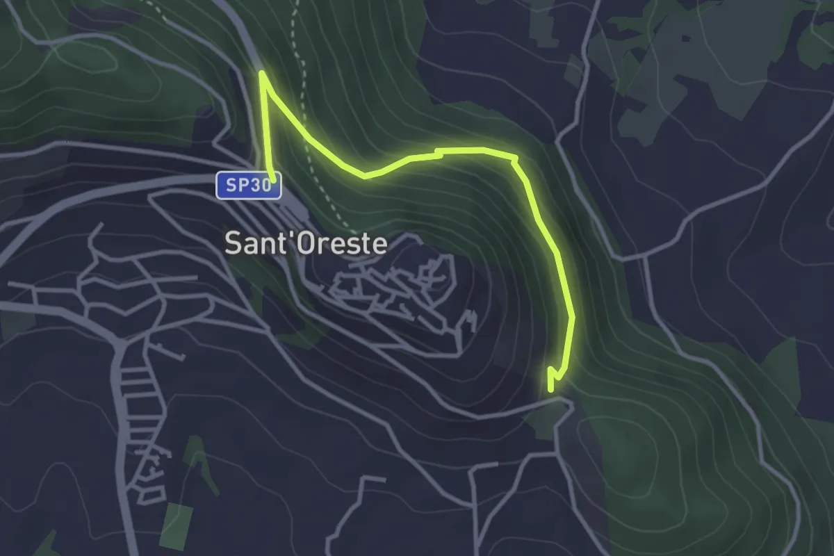
Easy · Trail
Percorso Sant'Edisto - Santo Stefano – Sant’Uberto
3.4 km · ↑ 244 m · 1 h 20 min · 9 km away
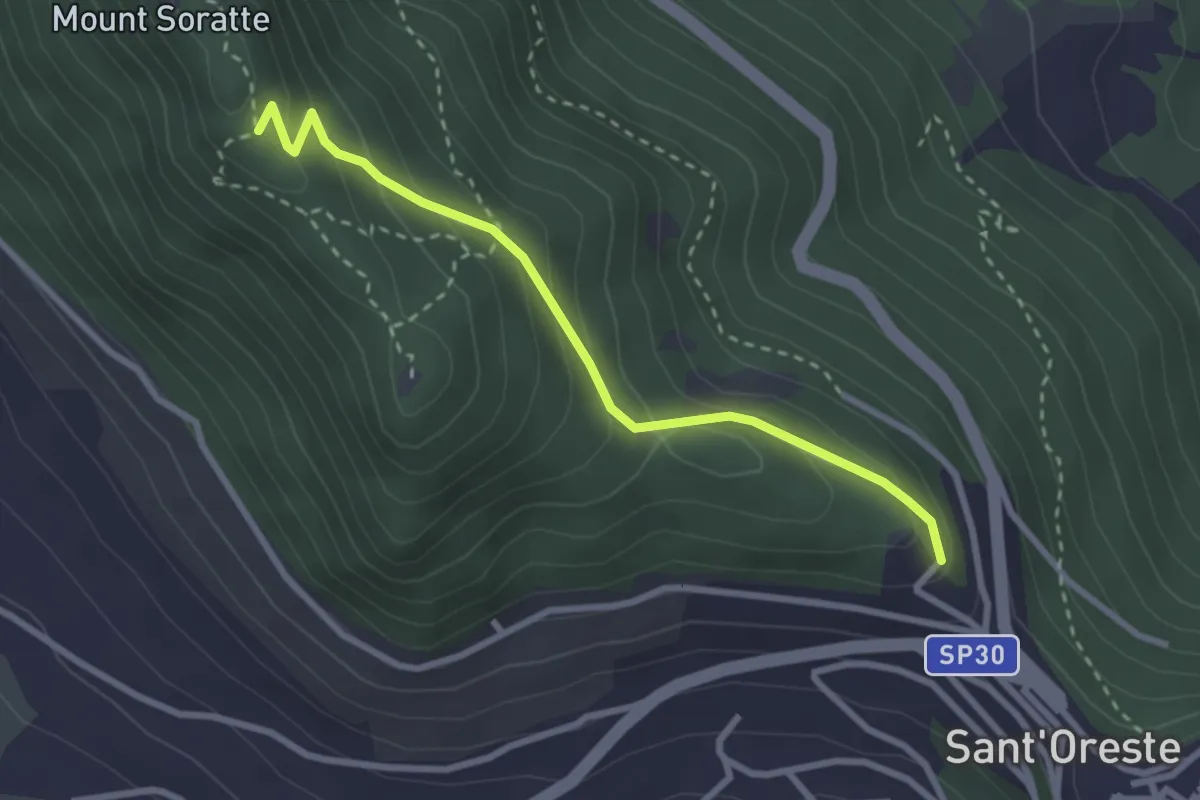
Easy · Trail
Madonna delle Grazie
3.0 km · ↑ 199 m · 1 h 8 min · 10 km away
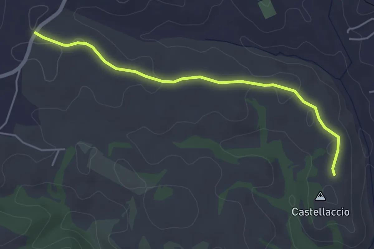
Easy · Trail
Via Campagnanese – Castellaccio
4.5 km · ↑ 50 m · 1 h 10 min · 10 km away
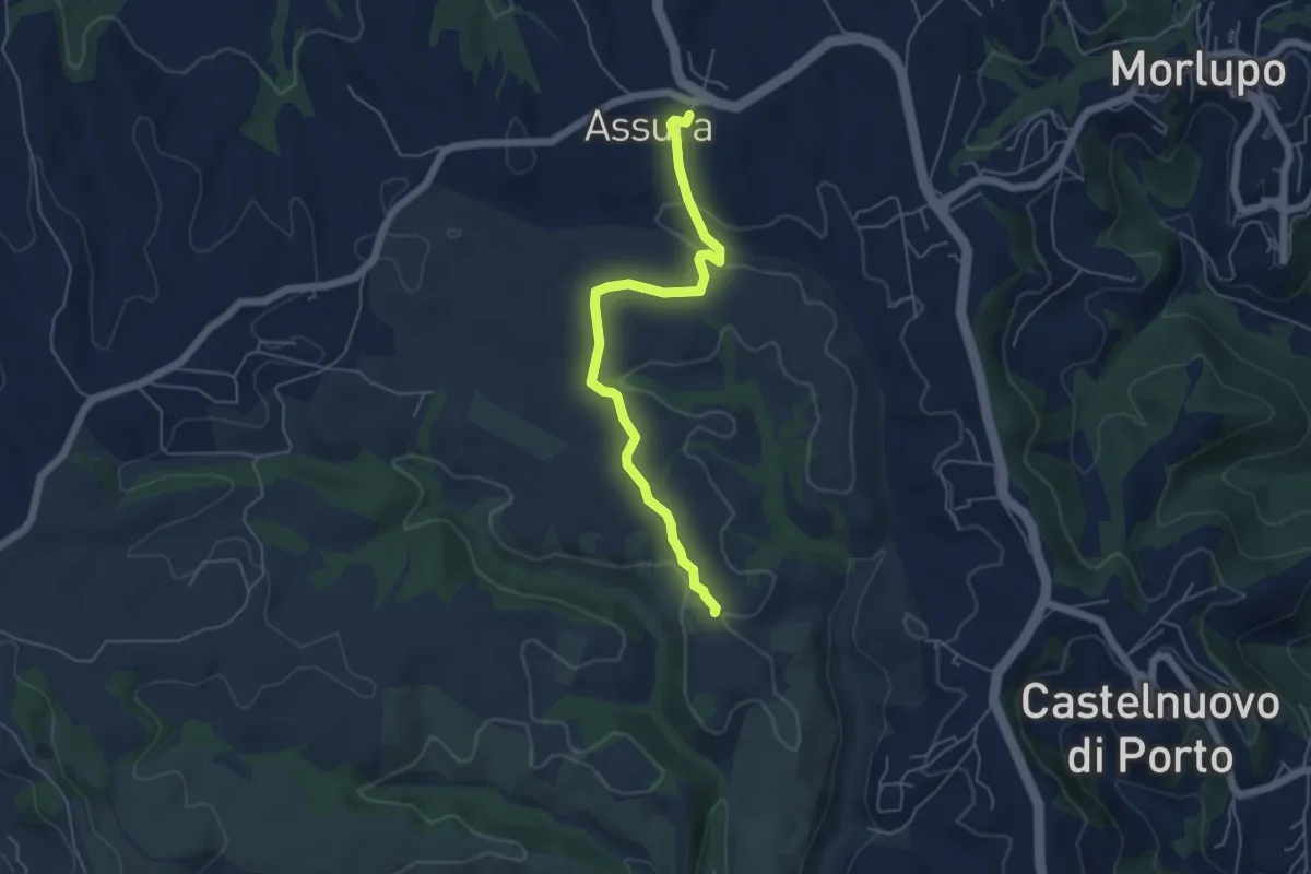
Easy · Trail
Magliano Romano-Fontanile Citerna
5.7 km · ↑ 132 m · 1 h 38 min · 10 km away
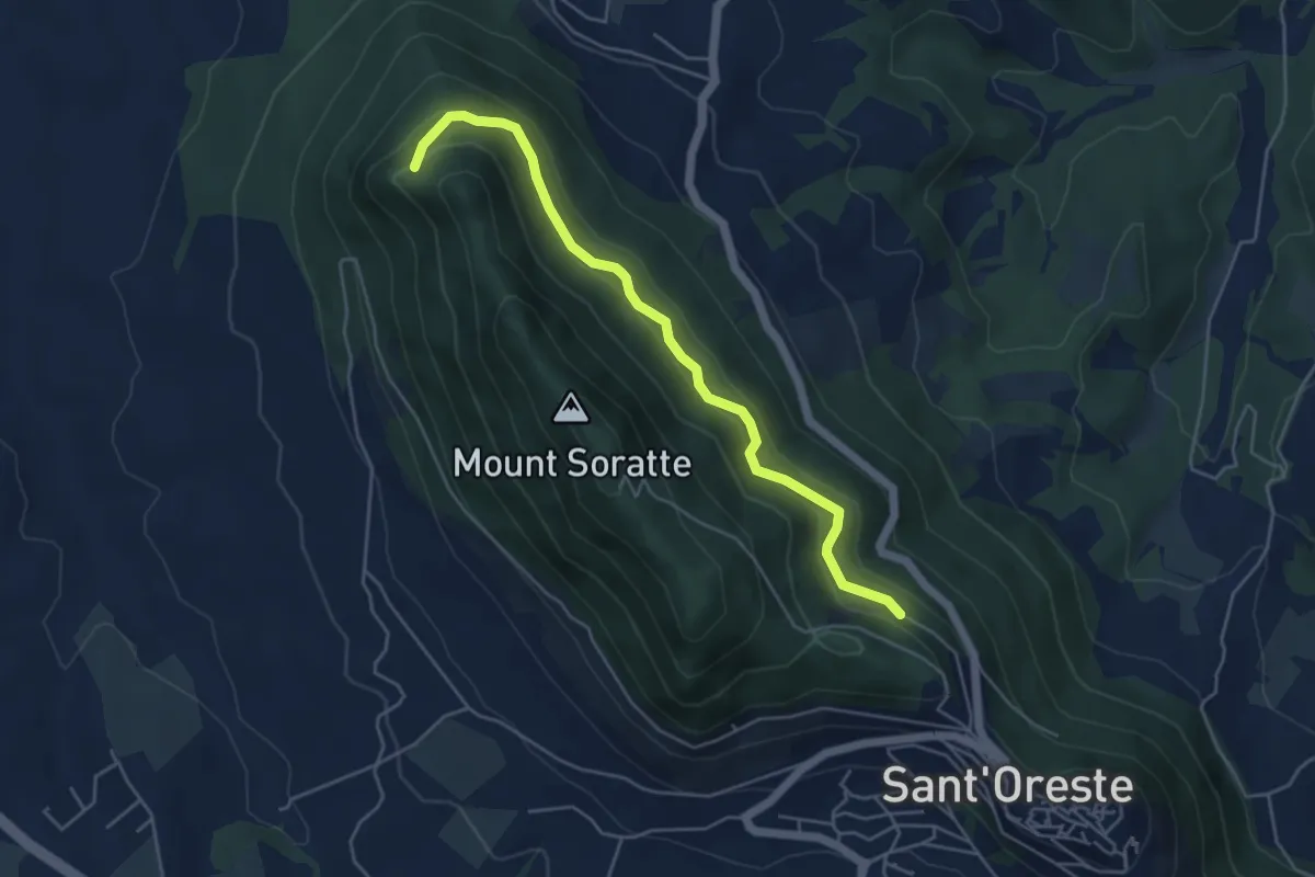
Expert · Trail
Percorso Vita
5.3 km · ↑ 198 m · 1 h 40 min · 10 km away
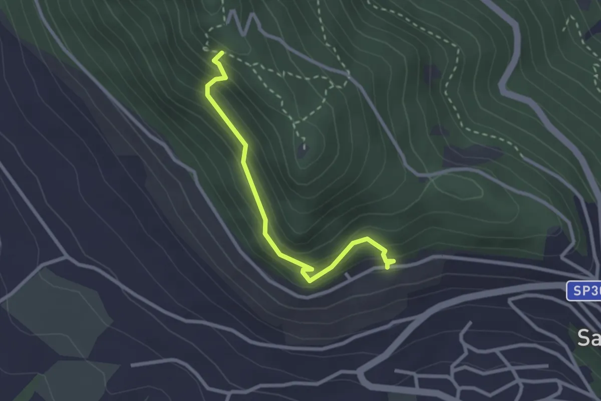
Easy · Trail
Alta Via
2.6 km · ↑ 249 m · 1 h 9 min · 10 km away
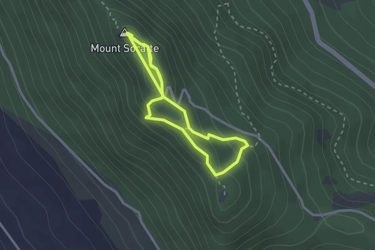
Medium · Summit
Sentiro degli Eremi
2.1 km · ↑ 102 m · 43 min · 11 km away
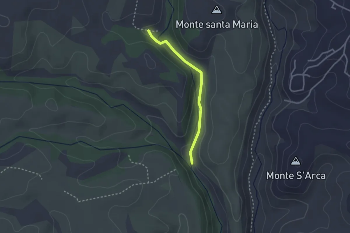
Easy · Trail
Percorso 210C – Percorso 210
2.3 km · ↑ 49 m · 39 min · 11 km away
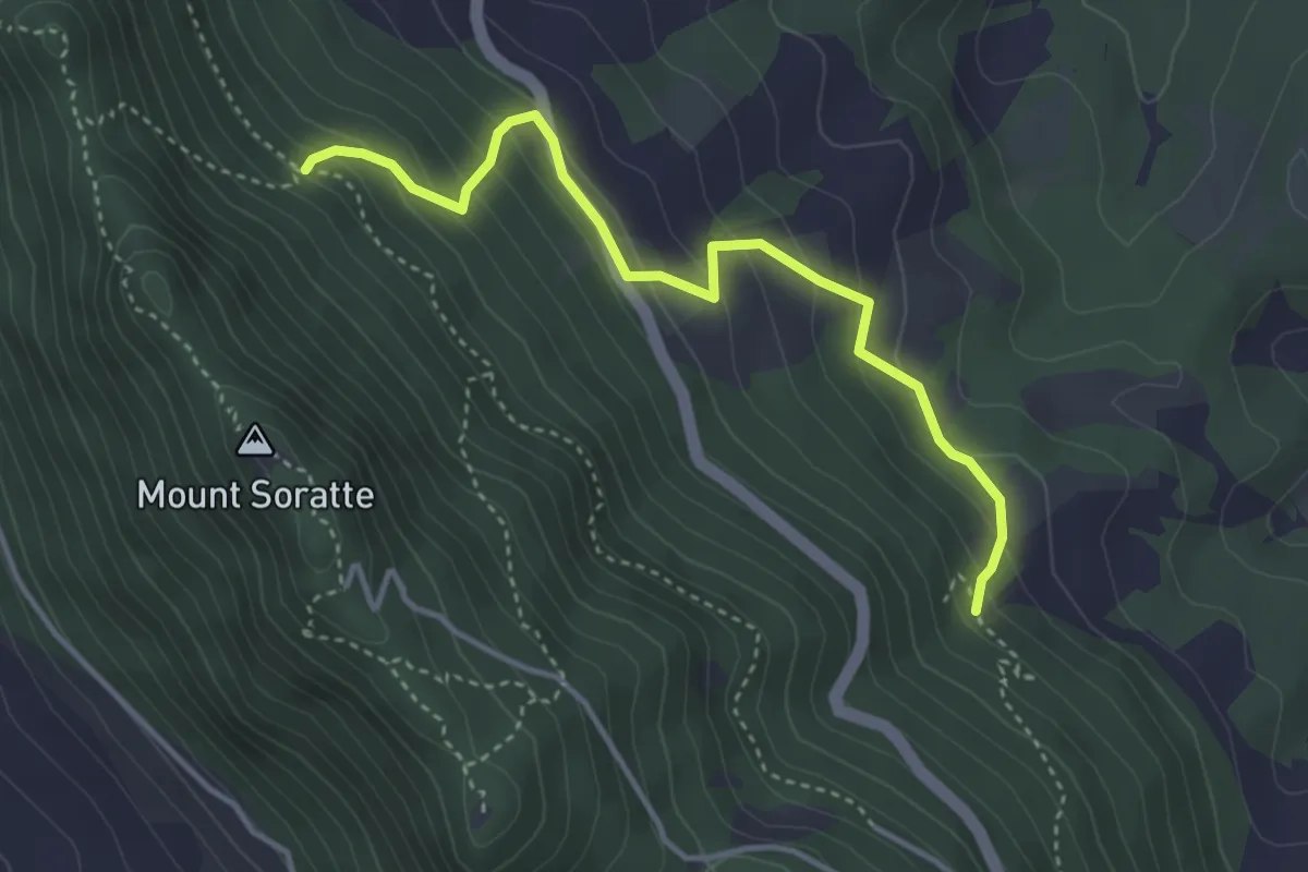
Easy · Trail
203 Santa Romana – 202 Percorso Vita
4.1 km · ↑ 285 m · 1 h 35 min · 11 km away
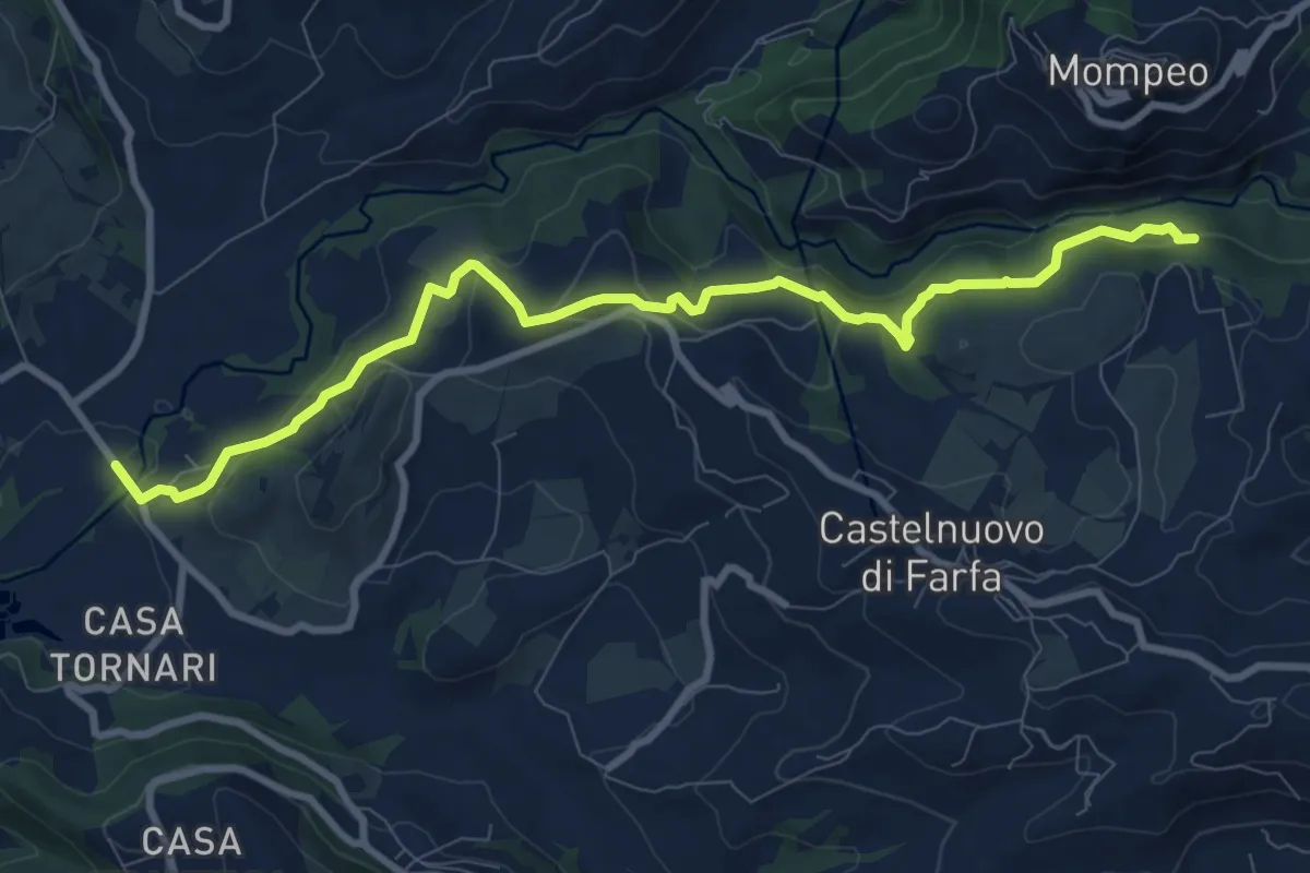
Medium · Trail
Granica (Allaccio con 352) – Fonte Cannavina (Allaccio con 351)
10.7 km · ↑ 449 m · 3 h 31 min · 12 km away
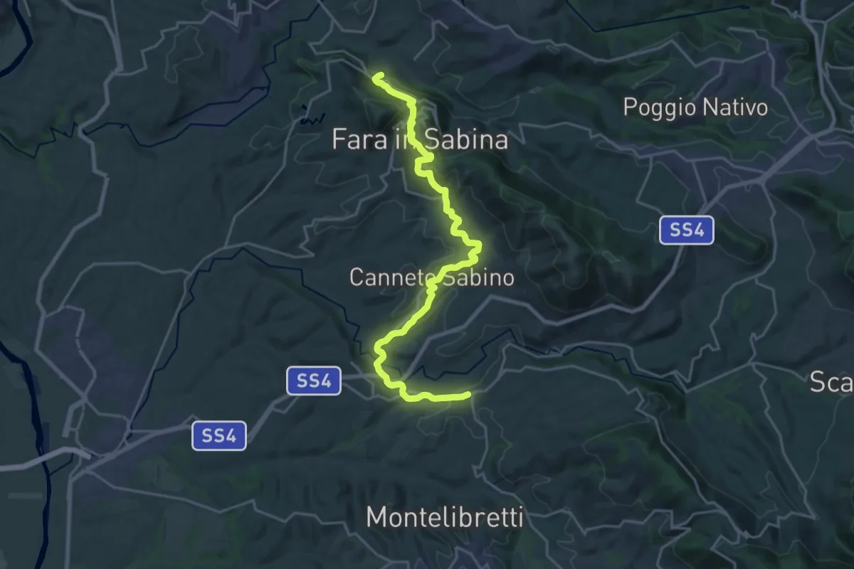
Medium · Pilgrim path
Cammino di Francesco - Farfa-Acquaviva
12.0 km · ↑ 399 m · 3 h 52 min · 12 km away
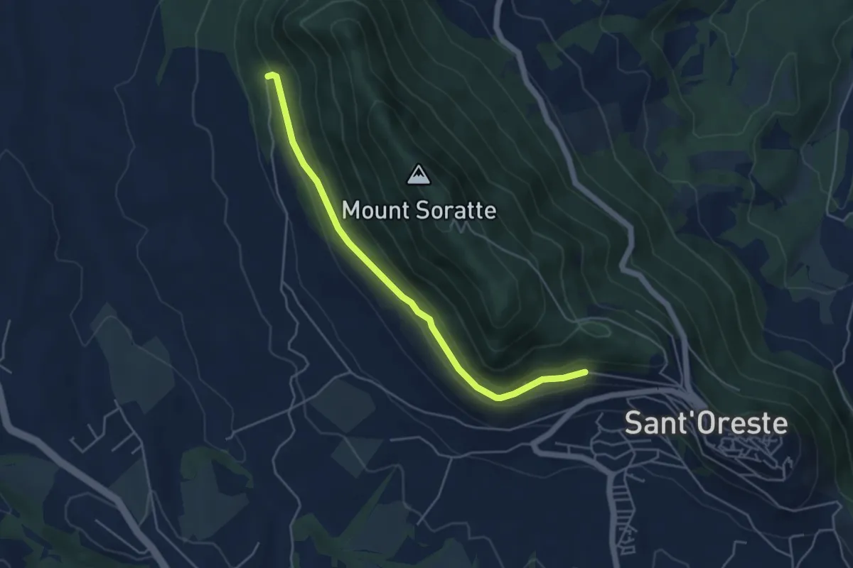
Easy · Trail
Strada Militare
4.9 km · ↑ 100 m · 1 h 22 min · 12 km away
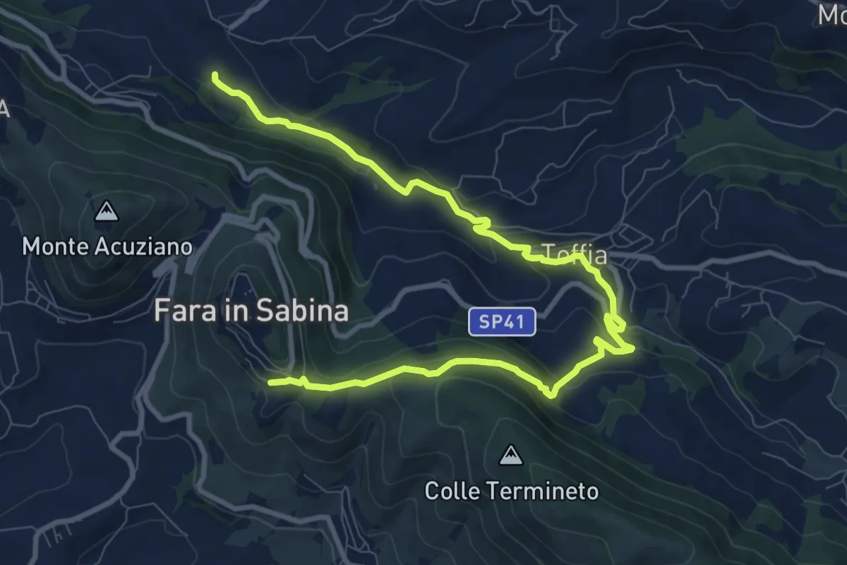
Medium · Trail
Fosso Riana-Toffia-Preventorio Savoia
12.1 km · ↑ 440 m · 3 h 49 min · 12 km away
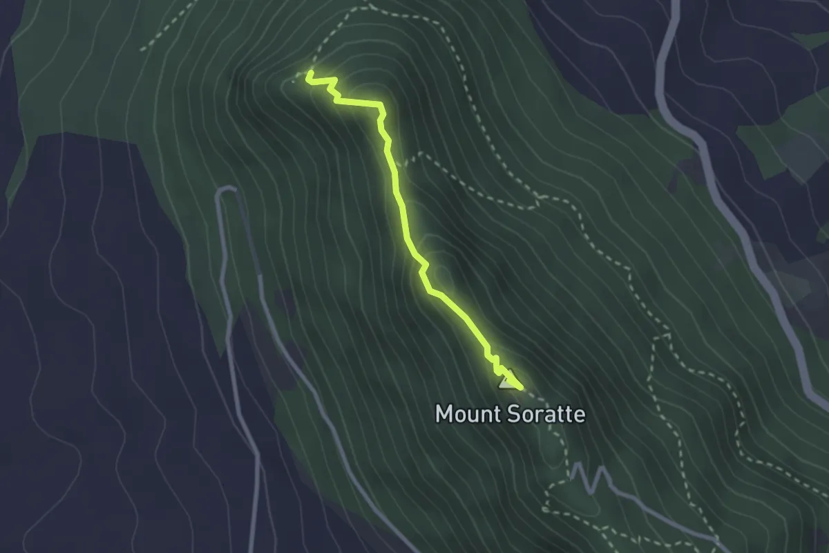
Demanding · Summit
Le Grotte
2.4 km · ↑ 186 m · 58 min · 12 km away
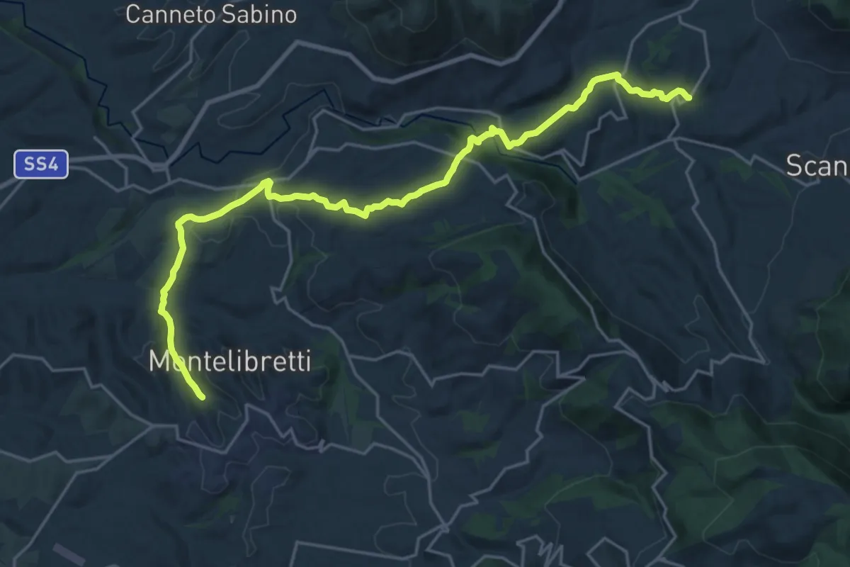
Demanding · Trail
PONTICELLI incrocio Via S. Maria del Colle - Via della Chiesa – MONTELIBRETTI incrocio Via Roma - Via Vignacce
24.1 km · ↑ 623 m · 7 h 3 min · 12 km away
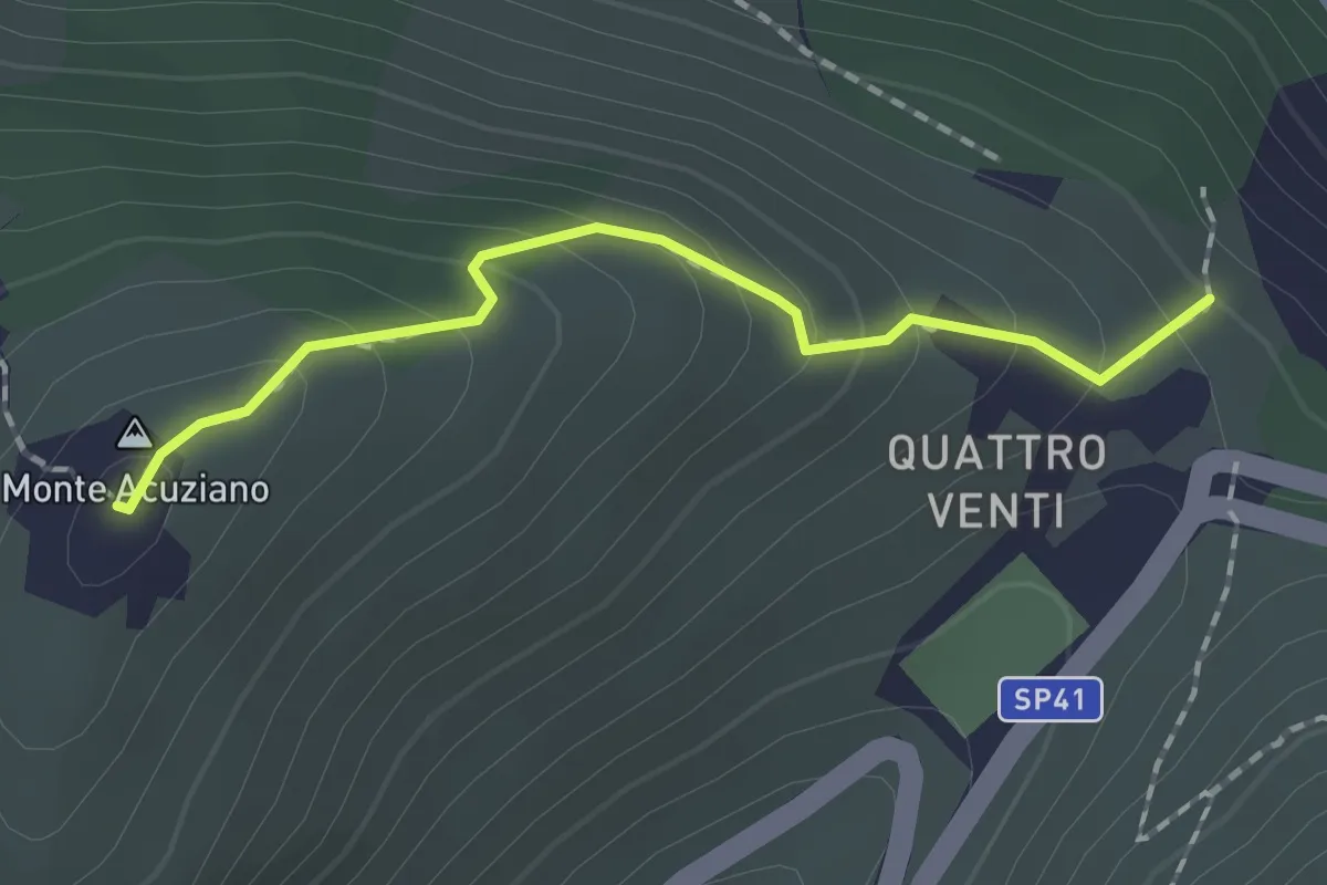
Easy · Summit
San Martino
1.7 km · ↑ 132 m · 41 min · 12 km away
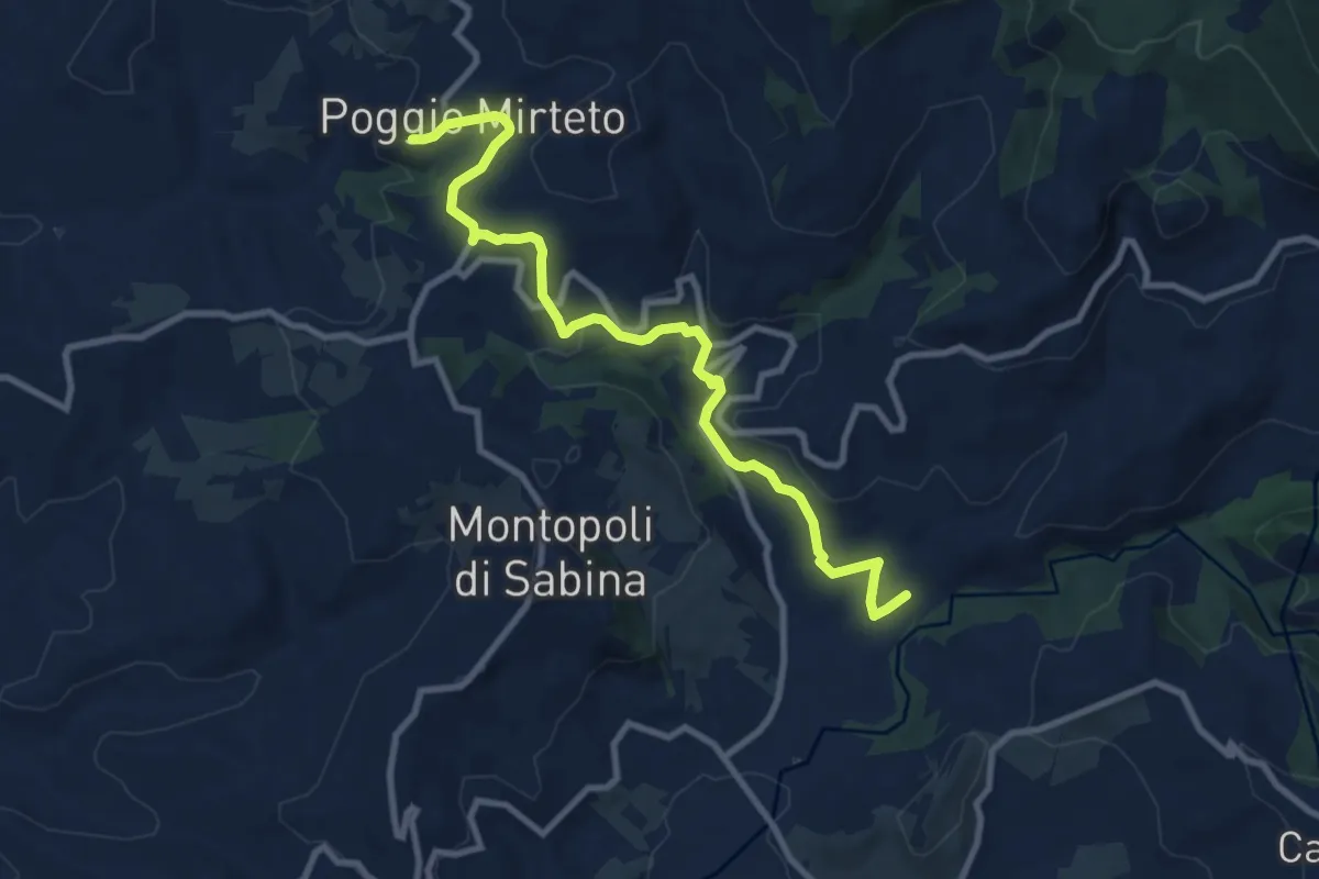
Medium · Trail
Porta Farnese-Ferriere
10.7 km · ↑ 225 m · 3 h · 13 km away
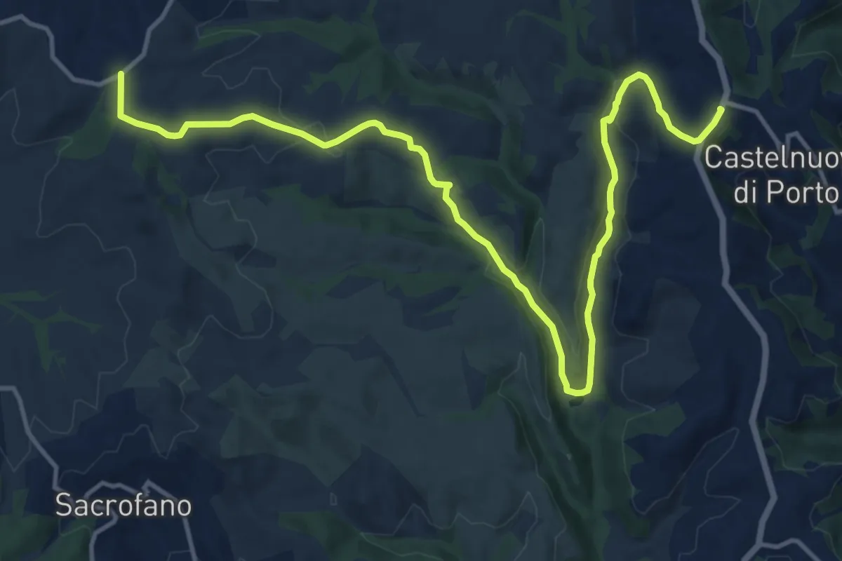
Medium · Trail
Via Campagnanese-Castelnuovo di Porto
16.3 km · ↑ 364 m · 4 h 38 min · 13 km away
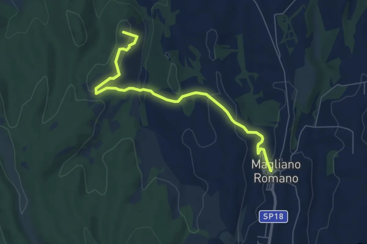
Easy · Summit
Magliano Romano - Casali
6.4 km · ↑ 224 m · 2 h · 13 km away
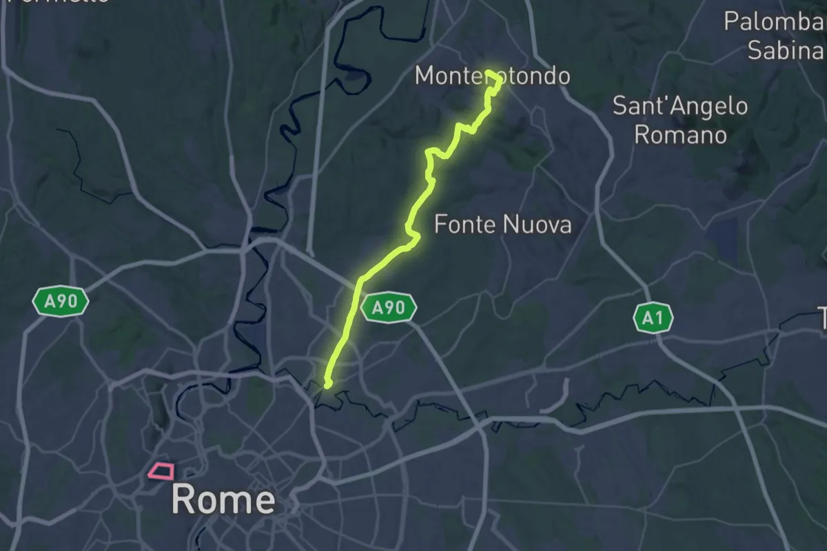
Demanding · Trail
Via di Francesco/Via del SUD - Tappa 2
18.5 km · ↑ 245 m · 5 h 13 min · 13 km away
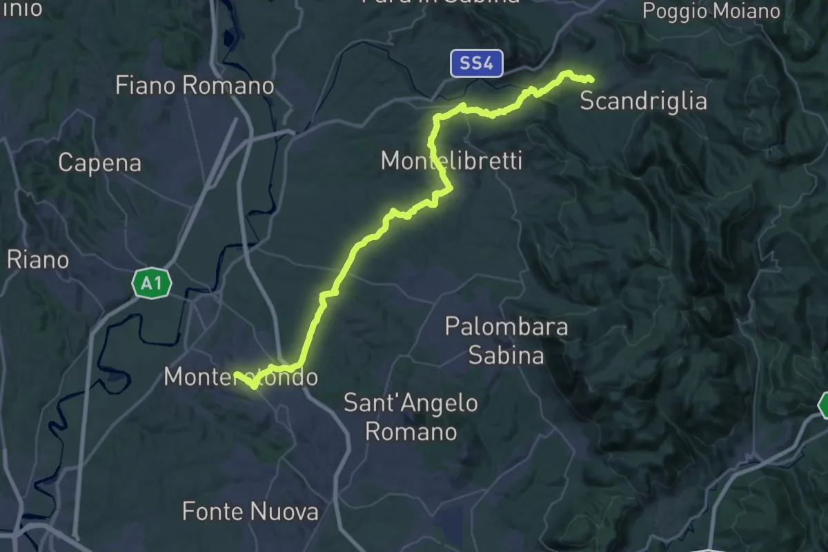
Demanding · Trail
Via di Francesco/Via del SUD - Tappa 3
30.0 km · ↑ 690 m · 8 h 54 min · 13 km away
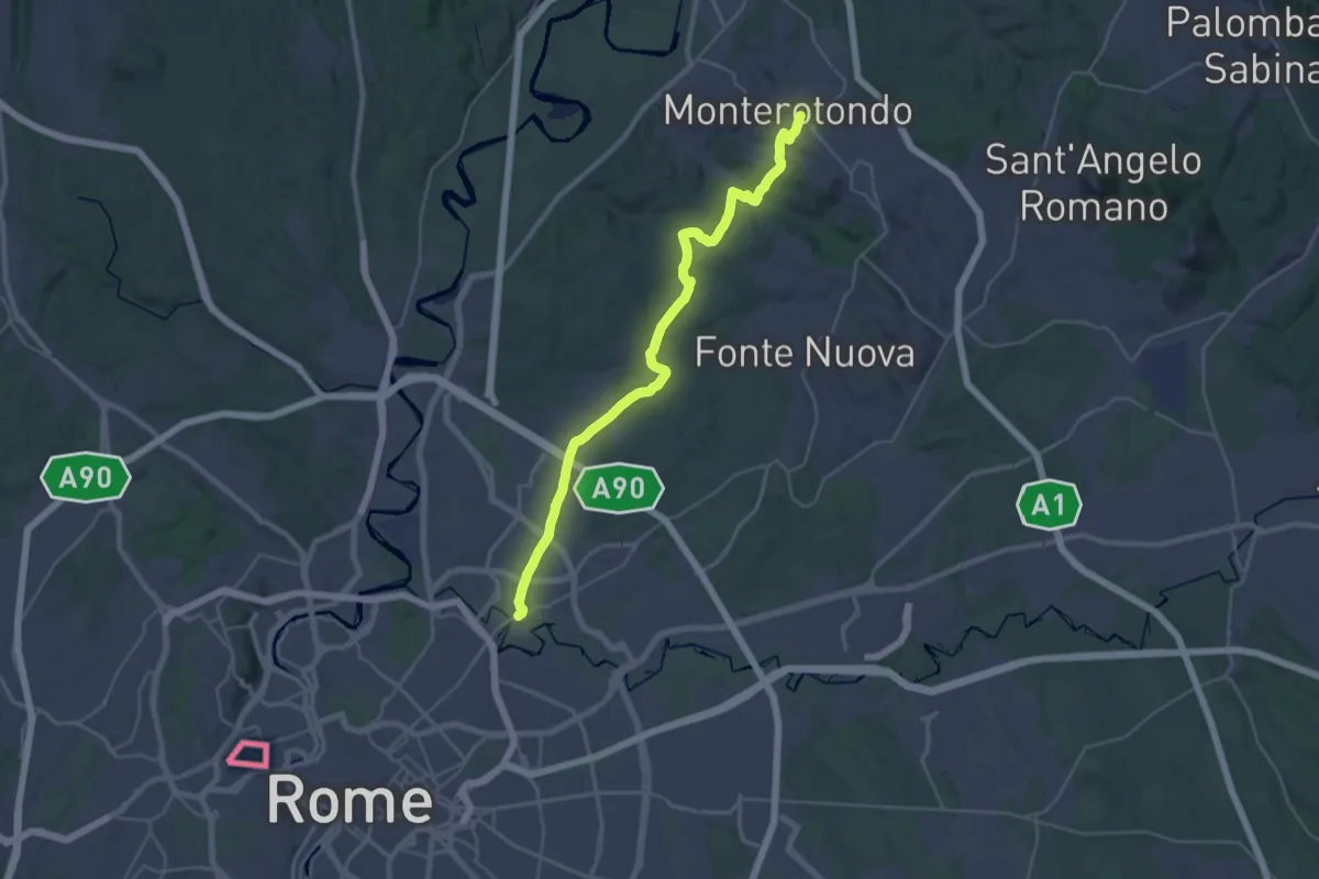
Medium · Trail
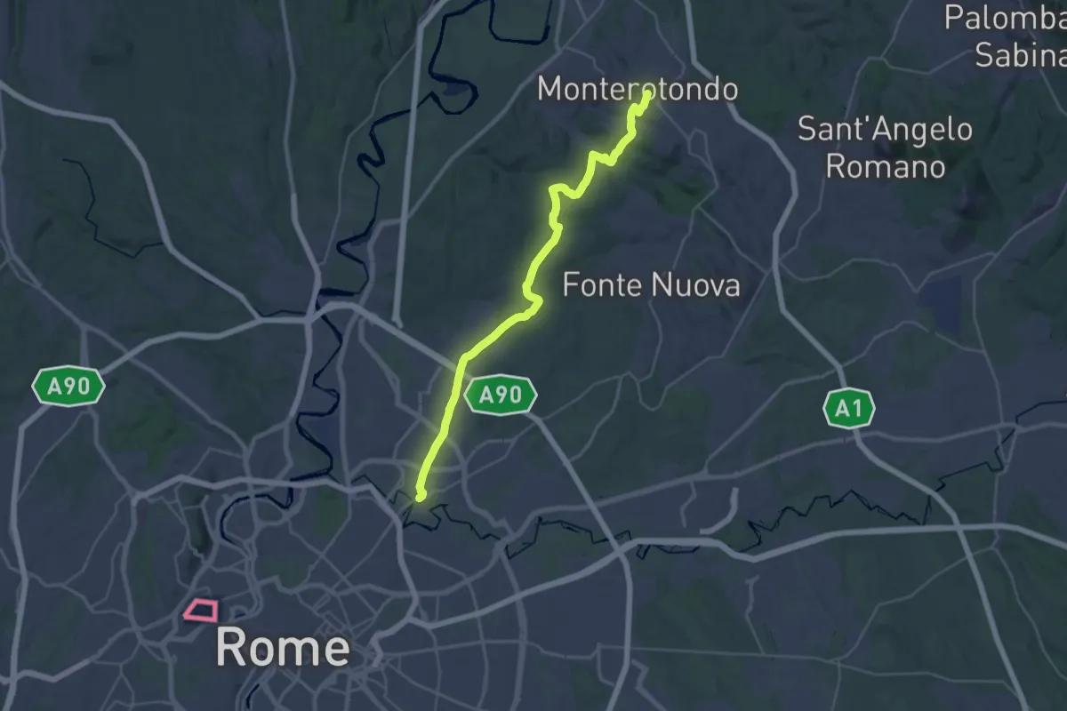
Monterotondo – Roma Monte Sacro
17.9 km · ↑ 259 m · 5 h 6 min · 14 km away
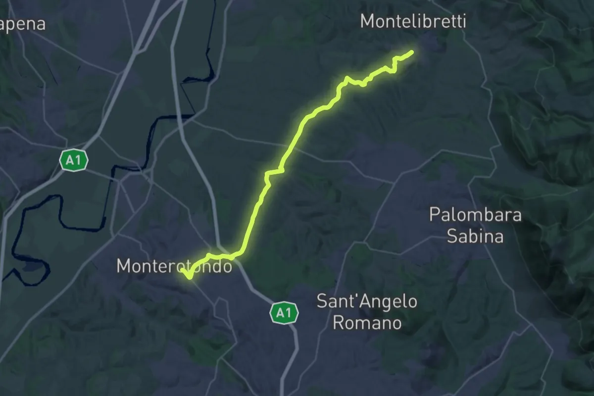
Medium · Trail
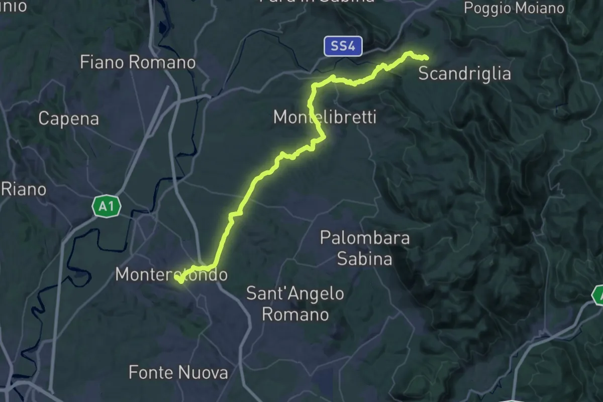
Montelibretti – Monterotondo
16.4 km · ↑ 287 m · 4 h 40 min · 14 km away
Medium · Trail
Via di Francesco - Tappa 21
17.9 km · ↑ 253 m · 5 h 5 min · 14 km away
Demanding · Trail
Via di Francesco - Tappa 20
29.4 km · ↑ 691 m · 8 h 45 min · 14 km away
Easy · Trail
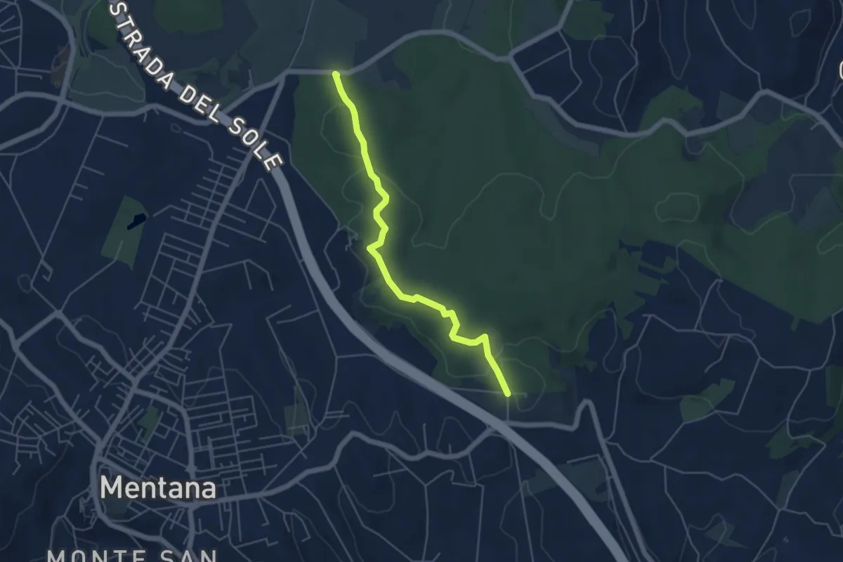
Percorso Blu
5.2 km · ↑ 58 m · 1 h 22 min · 14 km away
Medium · Summit
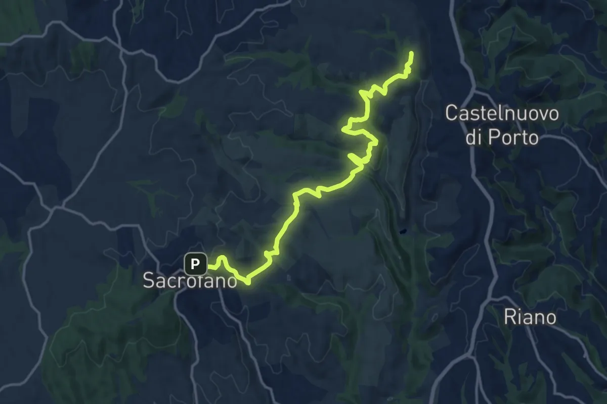
Sacrofano – Morlupo
15.9 km · ↑ 441 m · 4 h 43 min · 14 km away
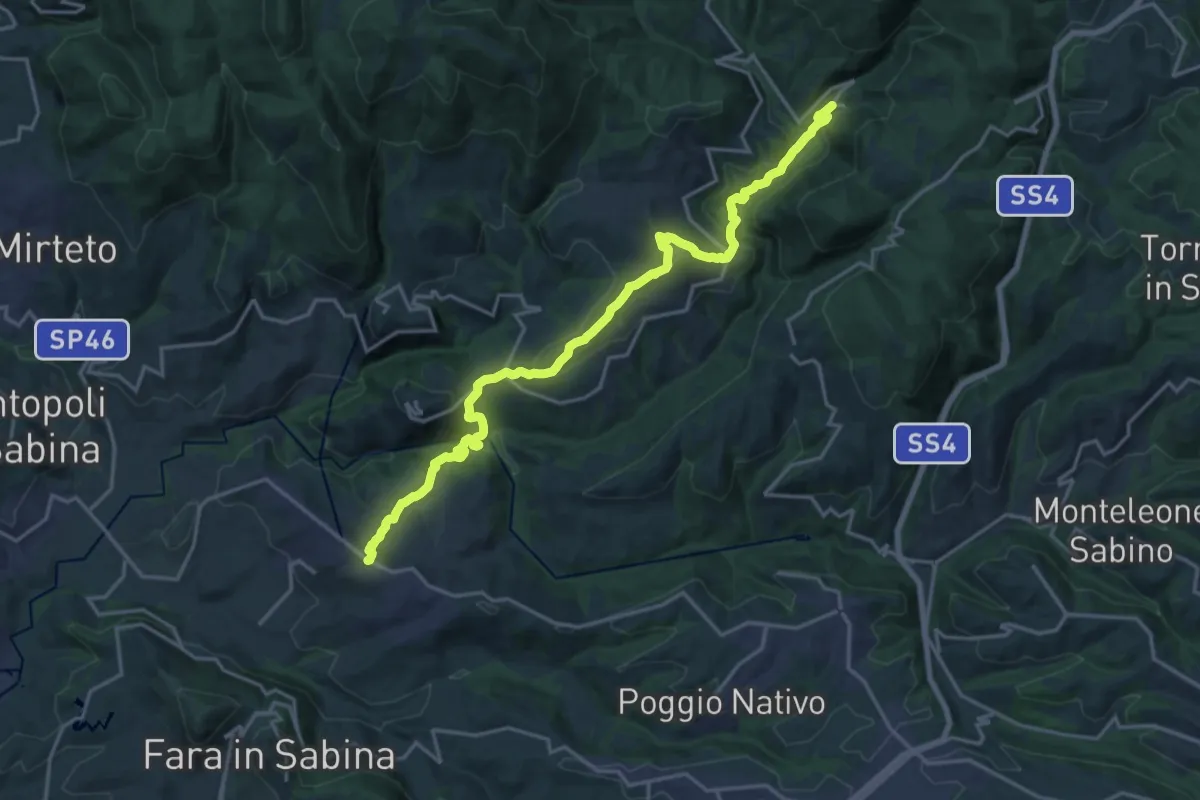
Demanding · Trail
Cammino dei Borghi Sabini - tappa 2
21.8 km · ↑ 991 m · 7 h 17 min · 14 km away
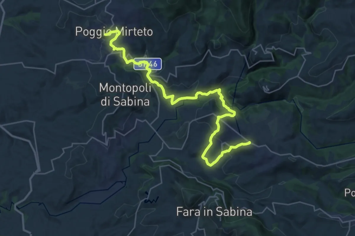
Demanding · Trail
Cammino dei Borghi Sabini - tappa 1
25.2 km · ↑ 847 m · 7 h 47 min · 14 km away
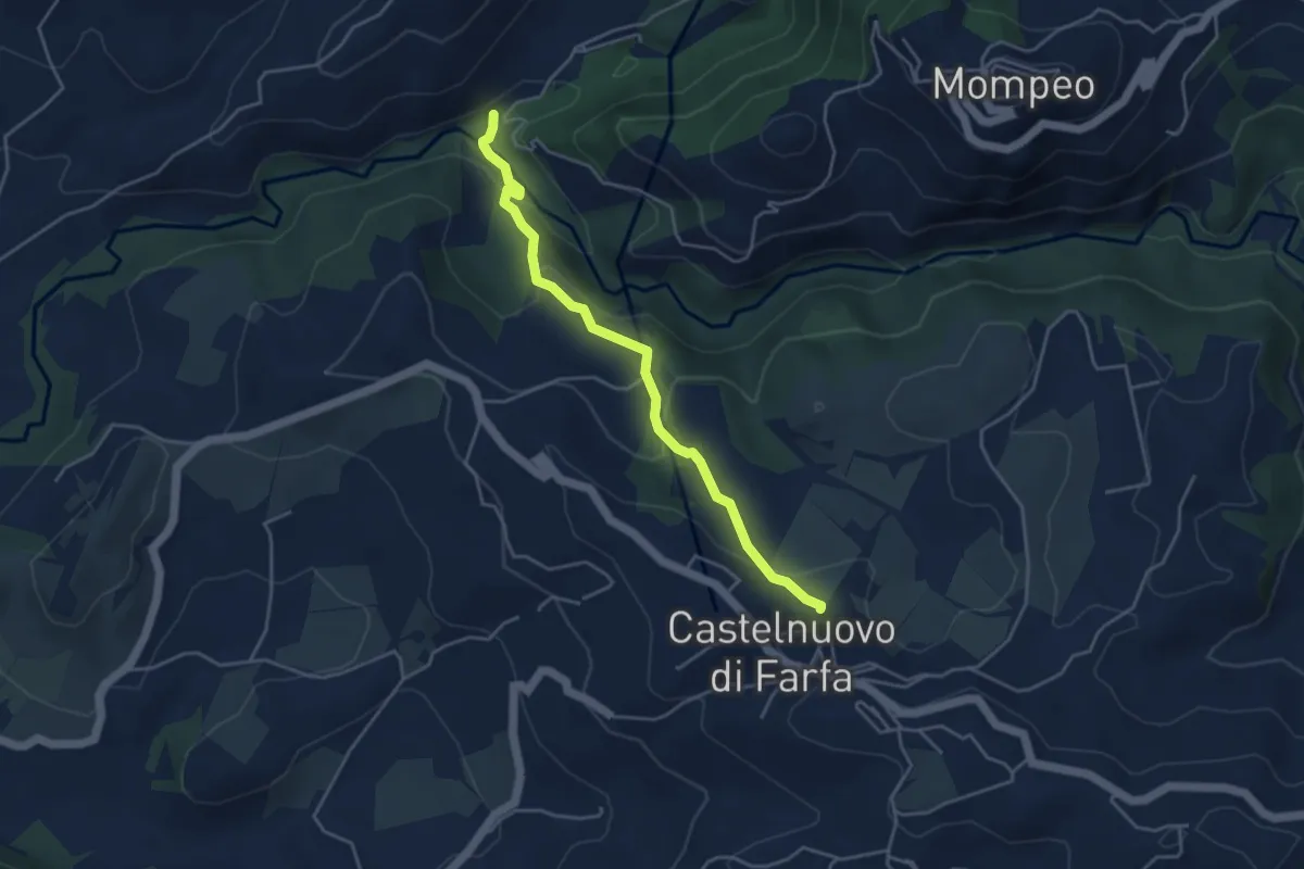
Easy · Trail
Castelnuovo di Farfa-Ponticello Fosso di Rasciano
4.5 km · ↑ 183 m · 1 h 28 min · 14 km away
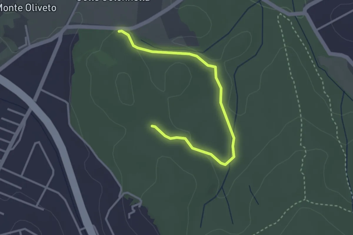
Easy · Trail
Ingresso Strada Provinciale – Incrocio con il sentiero 438
3.3 km · ↑ 49 m · 54 min · 14 km away
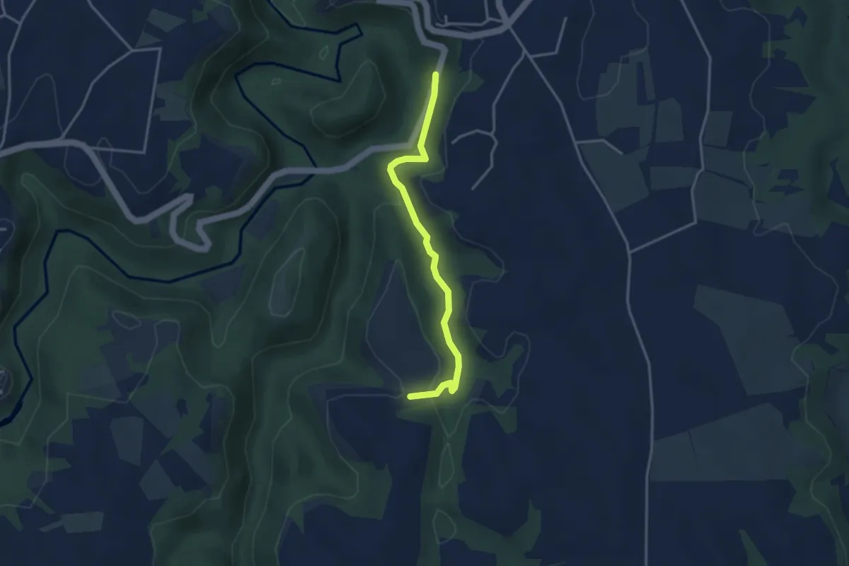
Easy · Trail
I Tufi
3.5 km · ↑ 150 m · 1 h 9 min · 14 km away
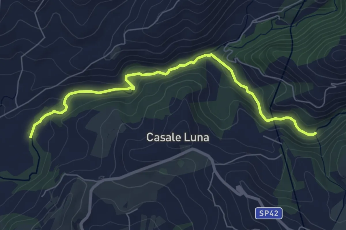
Easy · Trail
Campo di Granica (Allaccio con 352) – La Grotticella
6.3 km · ↑ 105 m · 1 h 43 min · 14 km away
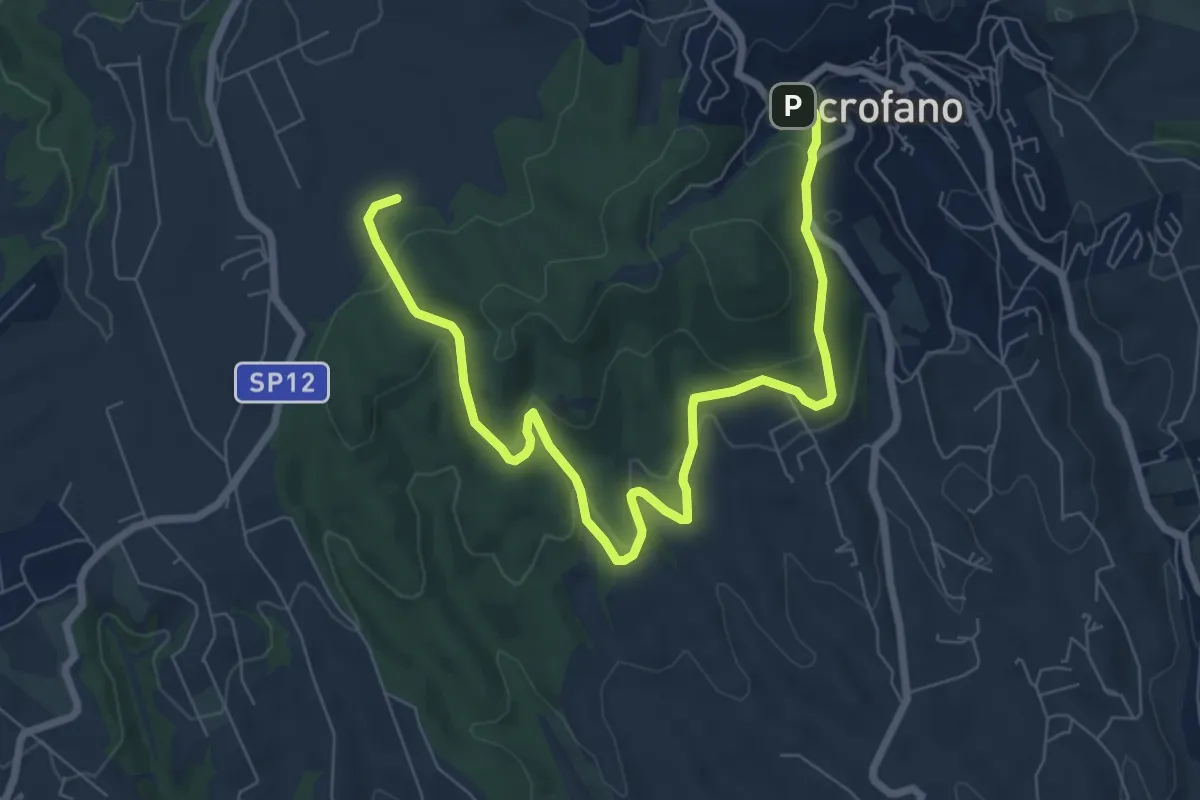
Medium · Trail
Strada Prima Porta-Monte Quadraro
9.7 km · ↑ 325 m · 3 h · 14 km away