Trails near Figline Valdarno
107 hikes starting within 15 km, nearest first.
Nearest first, page 2 of 3
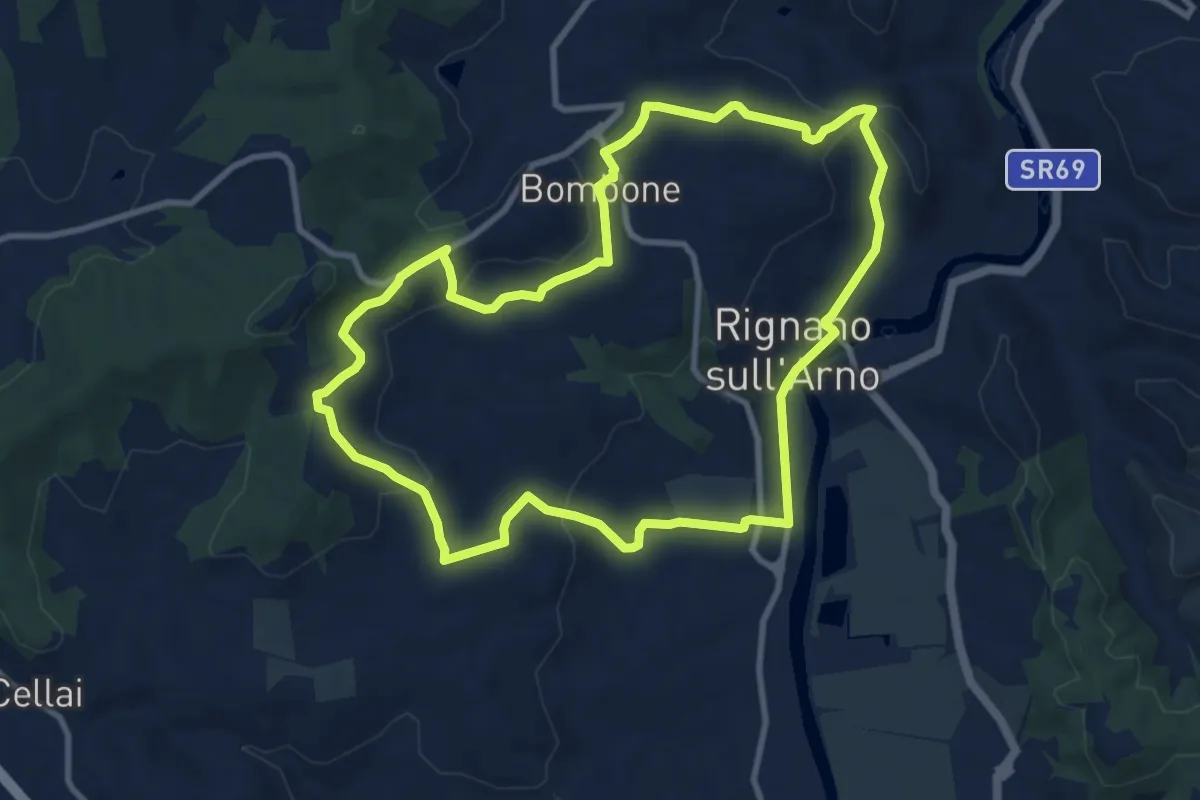
Medium · Trail
Rignano sull'Arno – Rignano sull'Arno
10.3 km · ↑ 284 m · 3 h 12 min · 12 km away
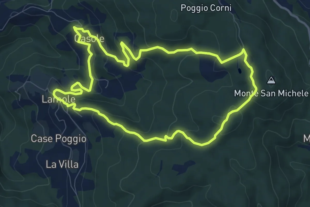
Medium · Summit
Anello di Lamole
8.9 km · ↑ 431 m · 3 h 9 min · 12 km away
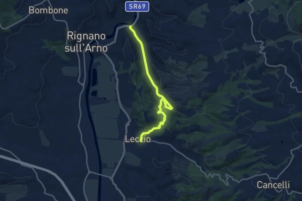
Medium · Trail
S.R. 69 / Marnia – Leccio
9.4 km · ↑ 251 m · 2 h 46 min · 12 km away
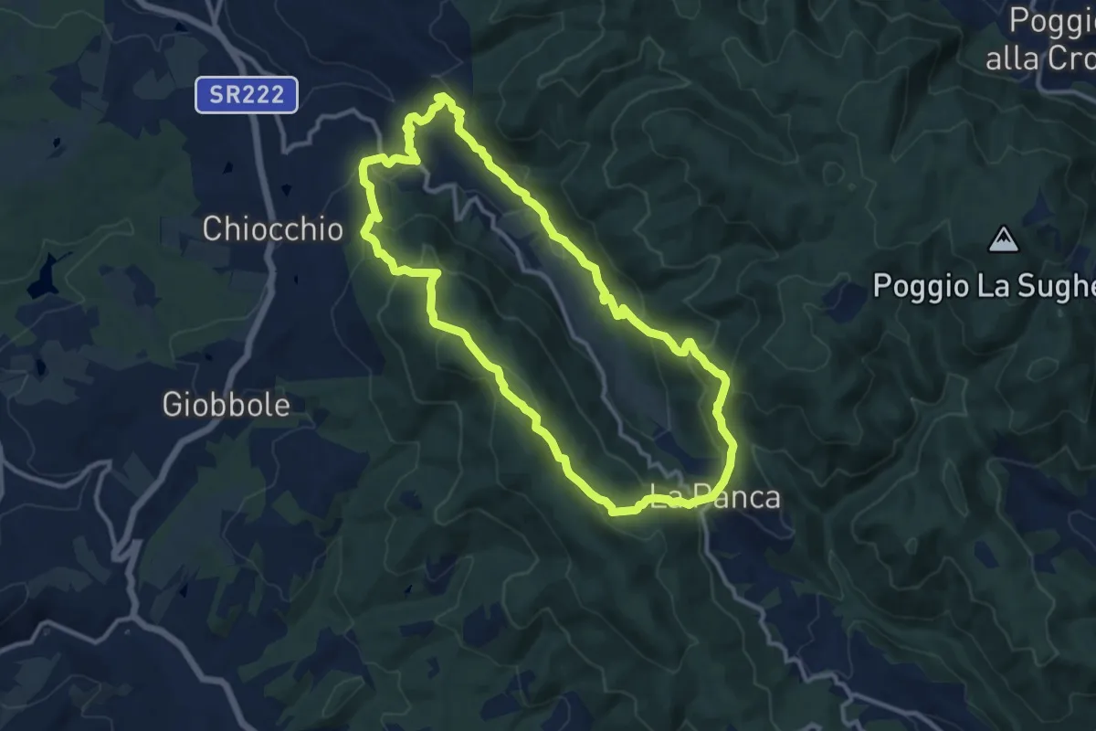
Medium · Trail
Anello di Cintoia
11.4 km · ↑ 596 m · 4 h 9 min · 12 km away
Medium · Trail
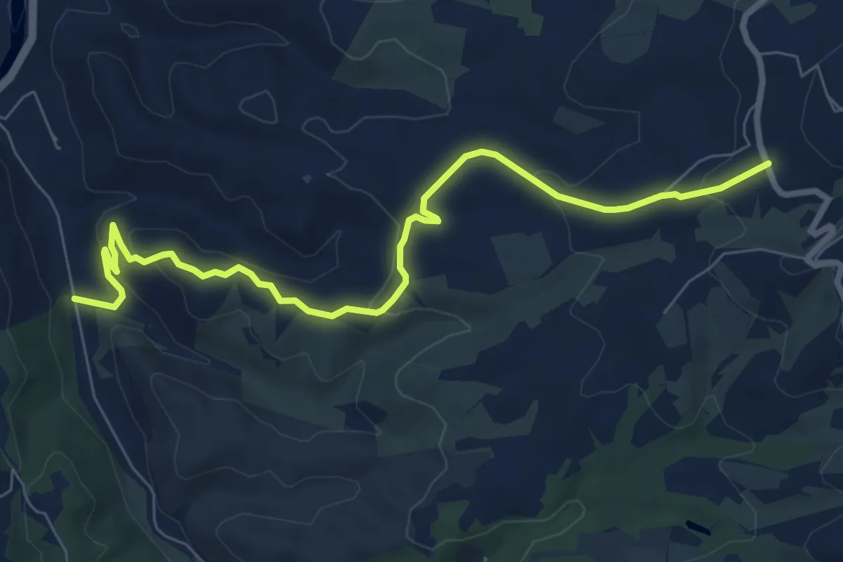
R20
8.6 km · ↑ 289 m · 2 h 40 min · 12 km away
Medium · Cabin
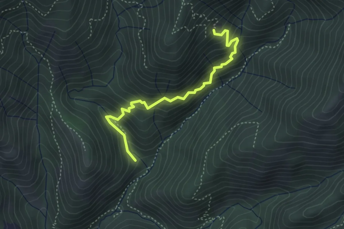
Sentiero delle capre
4.0 km · ↑ 396 m · 1 h 48 min · 12 km away
Easy · Summit
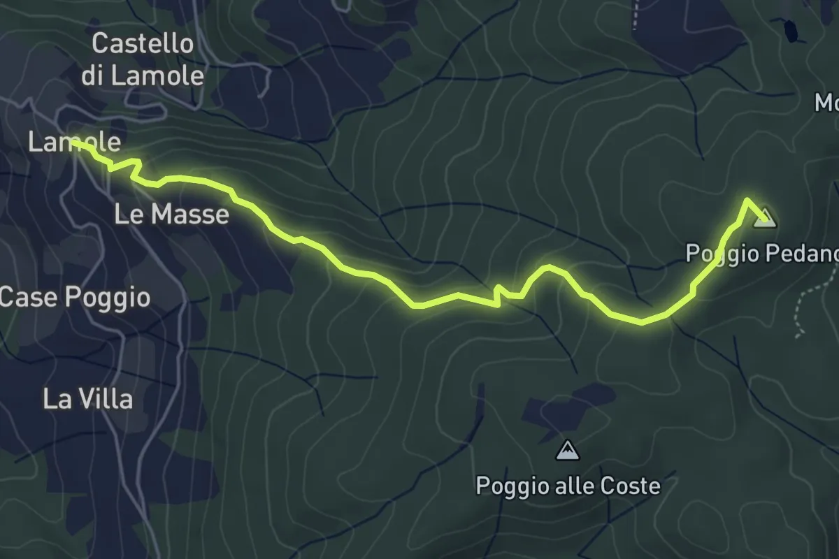
Lamole – Monte San Michele
5.7 km · ↑ 312 m · 2 h 2 min · 12 km away
Medium · Trail
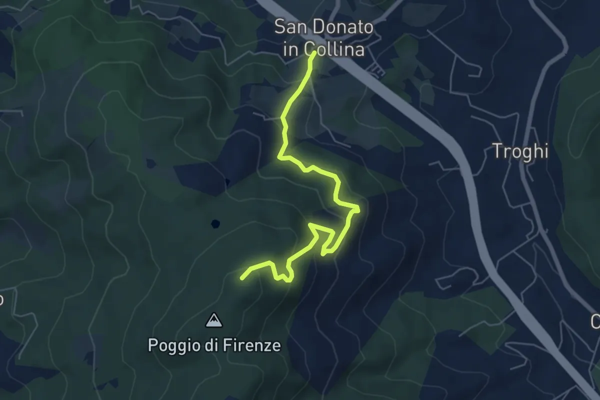
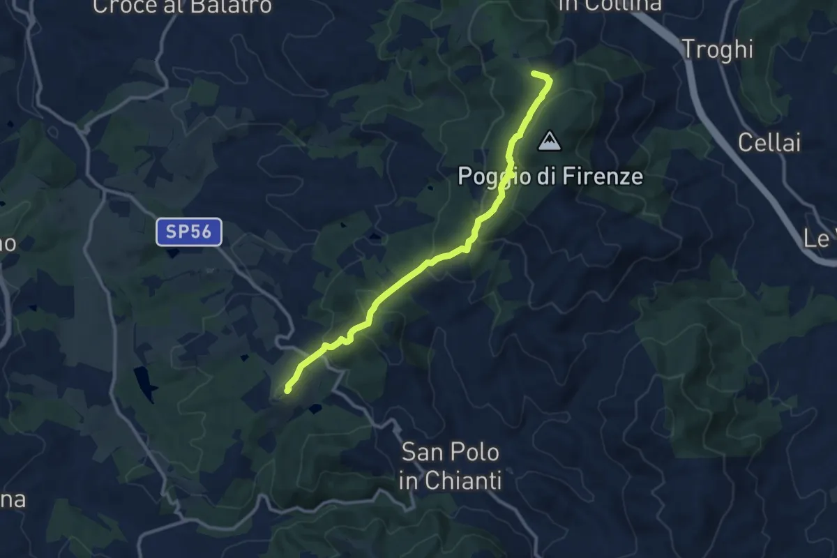
San Donato in Collina – Poggio di Firenze
5.9 km · ↑ 378 m · 2 h 13 min · 13 km away
Medium · Summit
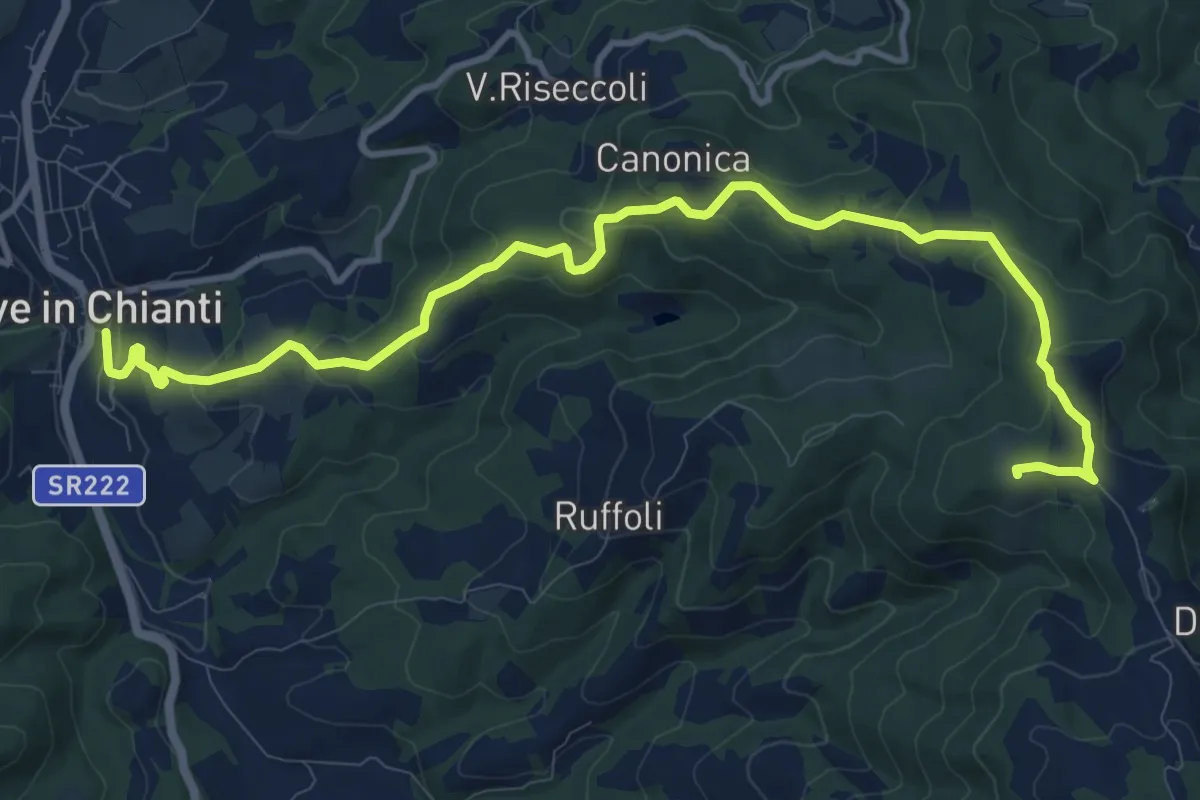
San Donato in Collina – SantoStefano a Tizzano
10.7 km · ↑ 474 m · 3 h 33 min · 13 km away
Medium · Summit
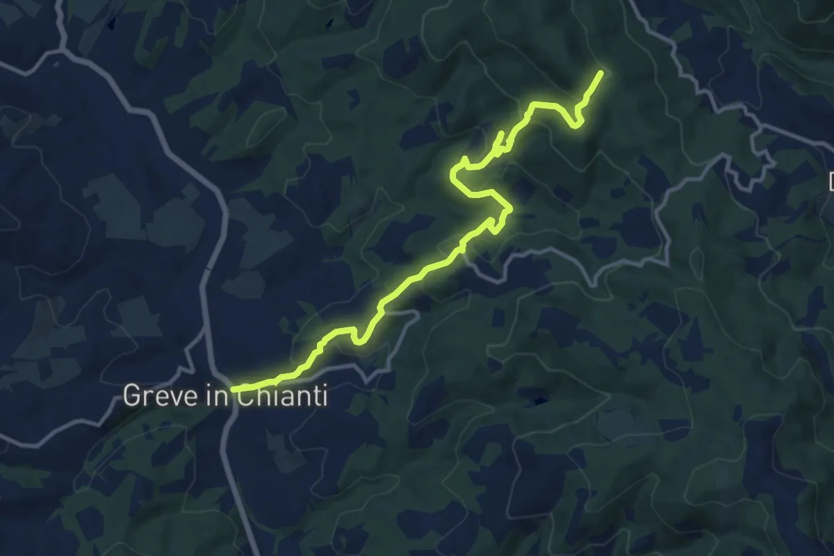
Anello di Ruffoli
13.6 km · ↑ 503 m · 4 h 19 min · 13 km away
Medium · Trail
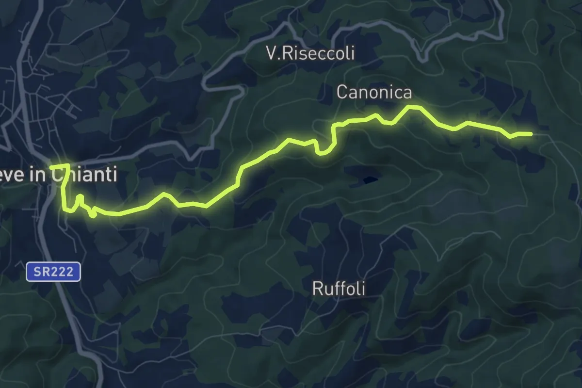
Greve – Rugliana
13.0 km · ↑ 602 m · 4 h 22 min · 13 km away
Medium · Trail
Greve – Piano di Canonica
10.7 km · ↑ 415 m · 3 h 26 min · 13 km away
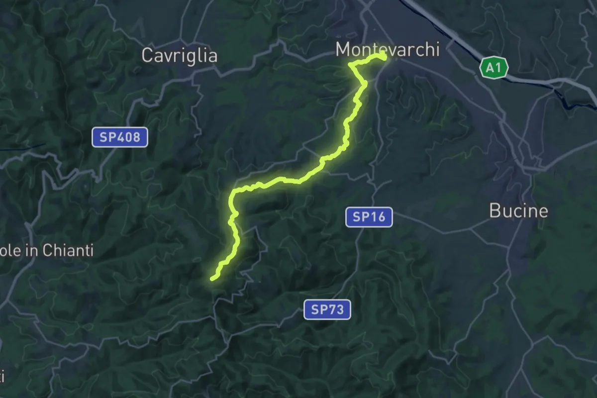
Demanding · Trail
Montevarchi – sent. 400 Aquila
24.4 km · ↑ 827 m · 7 h 34 min · 13 km away
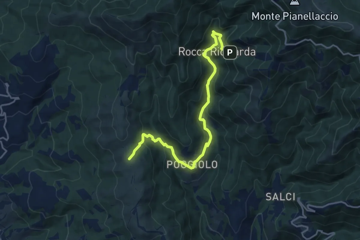
Medium · Trail
Sentiero 21,ex mulino rocca ricciarda – Sentiero 35 crinale di cocollo
12.8 km · ↑ 633 m · 4 h 24 min · 13 km away
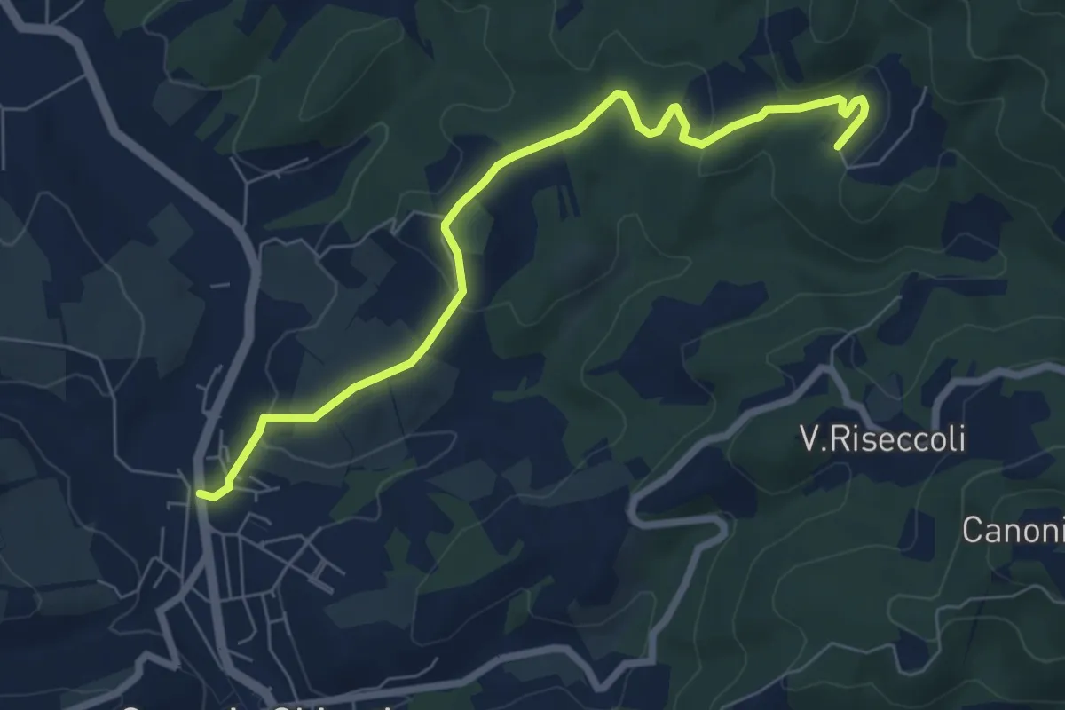
Easy · Trail
Greve – Le Caselle
7.3 km · ↑ 182 m · 2 h 7 min · 13 km away
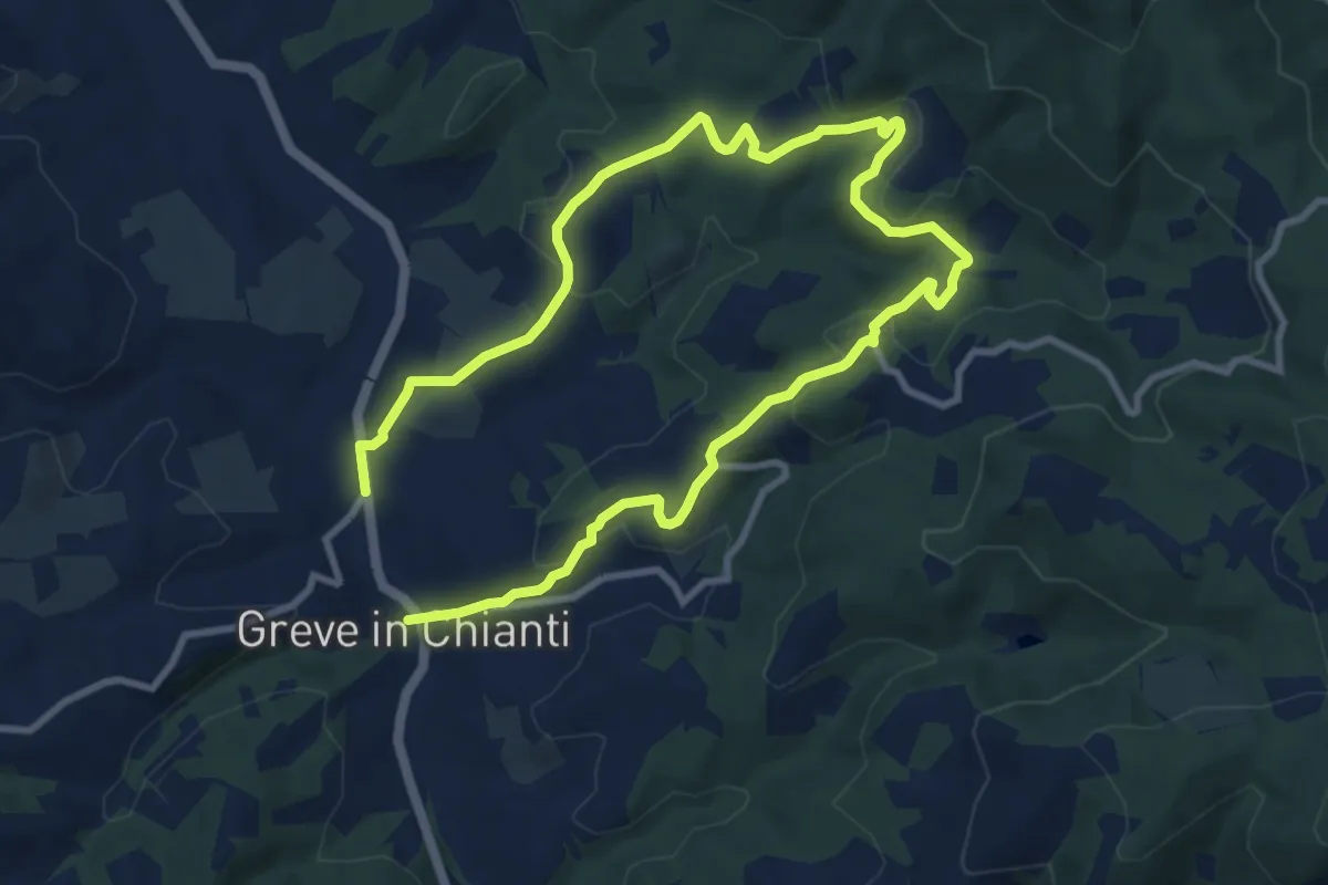
Medium · Trail
Anello di Uzzano
16.2 km · ↑ 504 m · 4 h 54 min · 13 km away
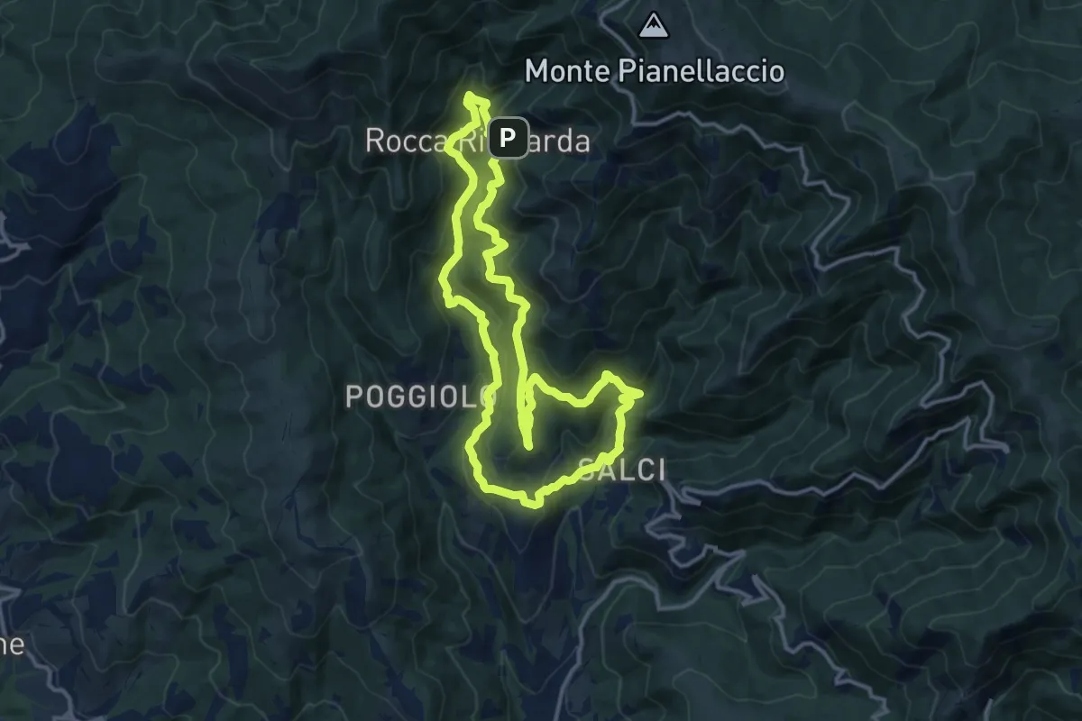
Medium · Trail
Via del Castagno
13.1 km · ↑ 750 m · 4 h 54 min · 13 km away
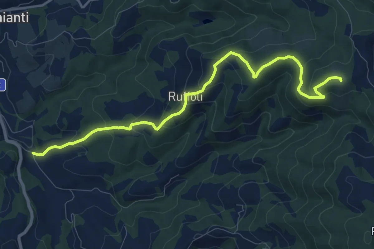
Medium · Summit
Greve – Monte Domini
10.6 km · ↑ 504 m · 3 h 35 min · 13 km away
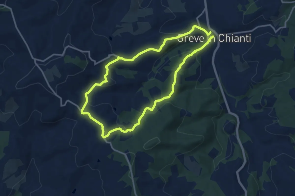
Easy · Trail
Anello Montefioralle
7.8 km · ↑ 290 m · 2 h 35 min · 13 km away
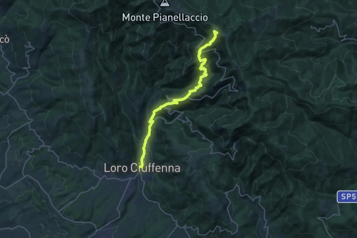
Demanding · Summit
Loro Ciuffenna – sent. 00 Pozza Nera
20.0 km · ↑ 1540 m · 8 h 4 min · 13 km away
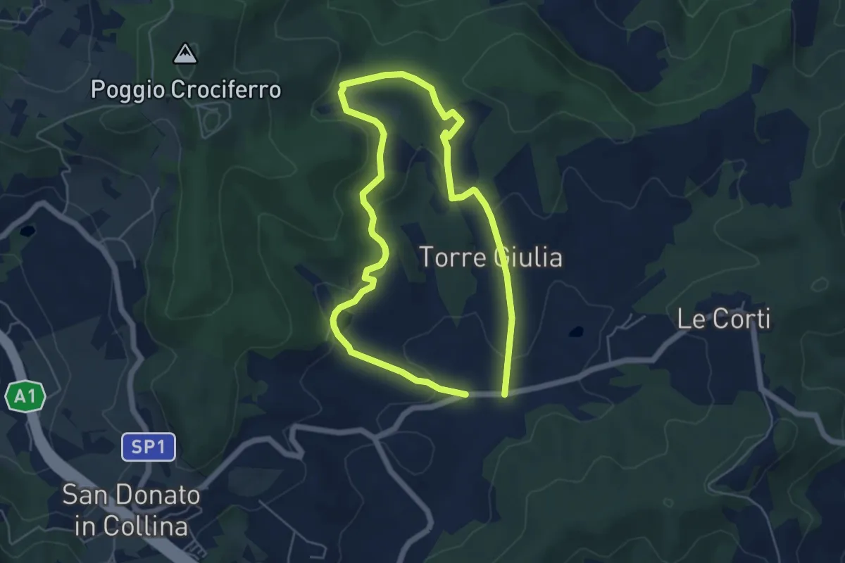
Medium · Trail
Il Fossato – Badiuzza
9.5 km · ↑ 264 m · 2 h 50 min · 13 km away
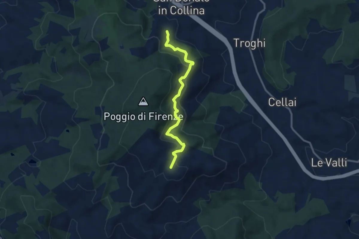
Medium · Trail
S. Donato in Collina – Casa al Monte
7.1 km · ↑ 427 m · 2 h 36 min · 13 km away
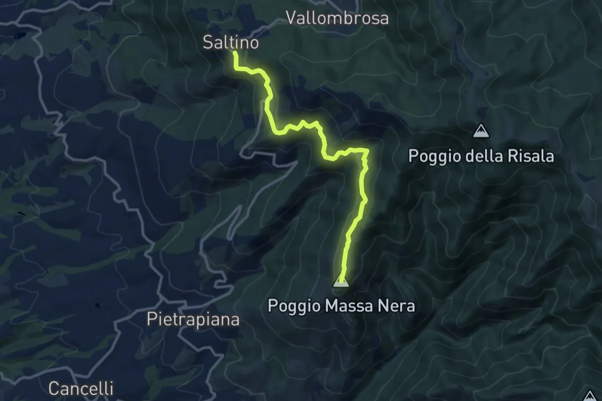
Medium · Summit
Saltino – Massanera
10.4 km · ↑ 462 m · 3 h 27 min · 13 km away
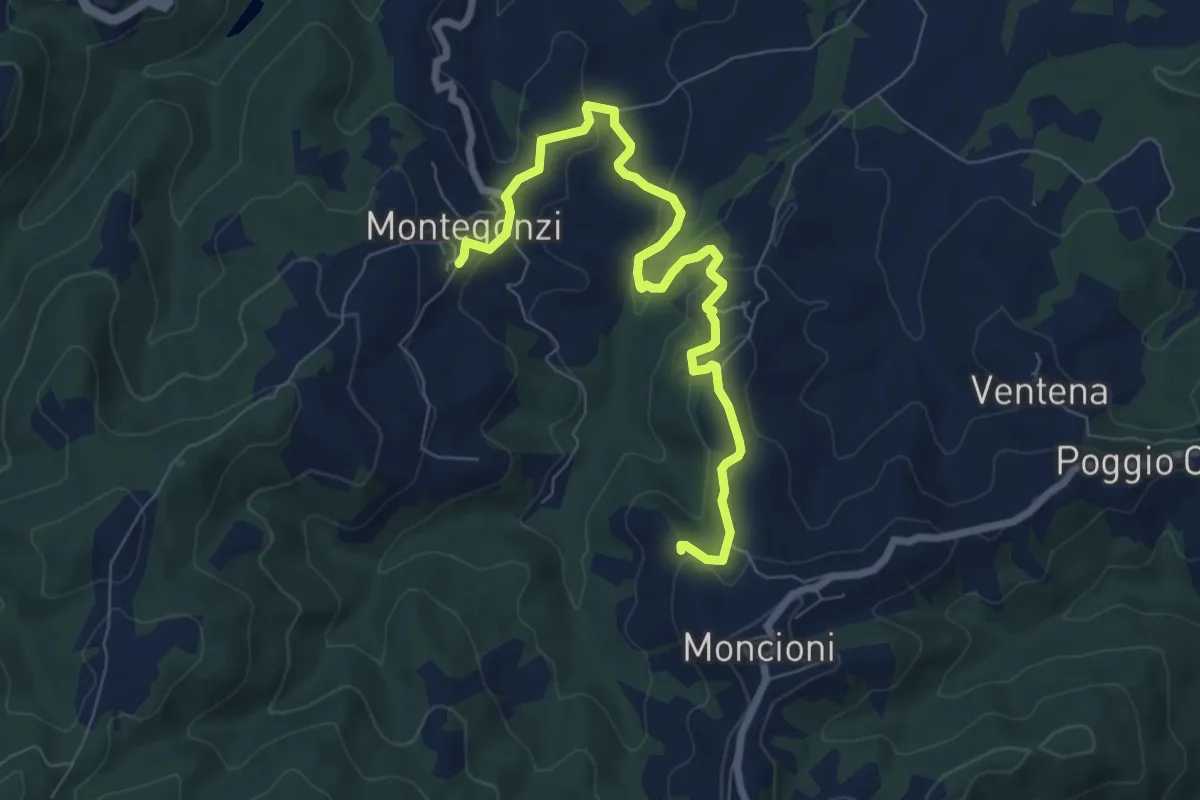
Medium · Trail
Montegonzi sent. 37 – Starnano
8.3 km · ↑ 321 m · 2 h 39 min · 13 km away
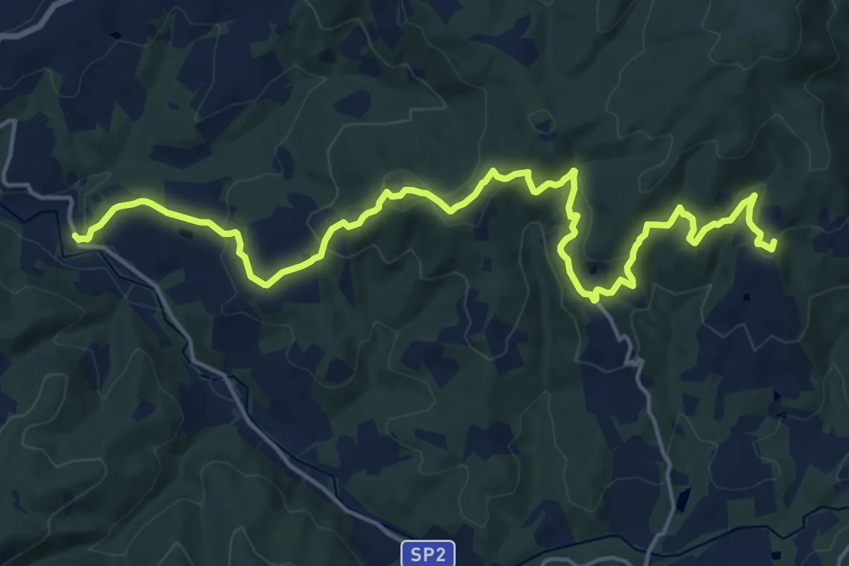
Demanding · Trail
Volpaia – Lucarelli
19.3 km · ↑ 858 m · 6 h 25 min · 13 km away
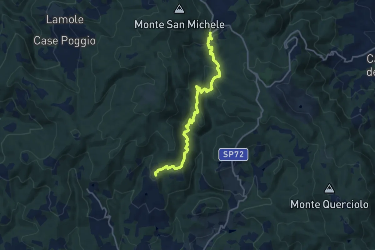
Medium · Trail
Volpaia – Badia a Montemuro
11.2 km · ↑ 529 m · 3 h 47 min · 13 km away
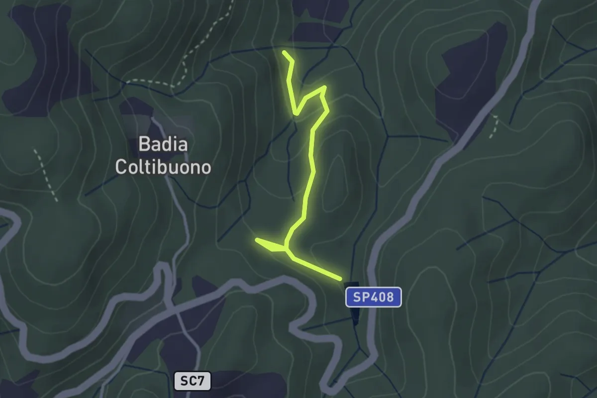
Easy · Trail
Trekking tra i castelli 7C (COLTIBUONO)
2.8 km · ↑ 129 m · 57 min · 13 km away
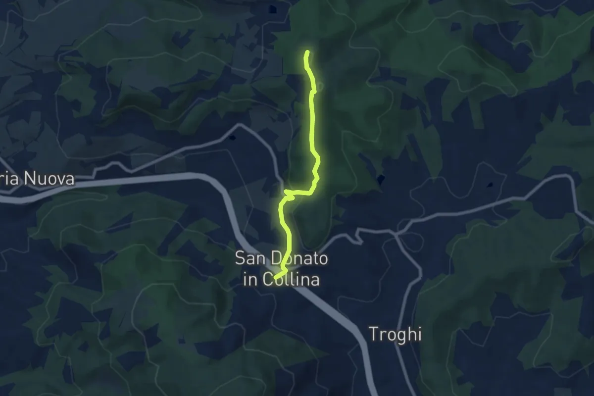
Easy · Summit
Sentiero 0 – da Poggio a Luco a San Donato in Collina
6.1 km · ↑ 172 m · 1 h 48 min · 14 km away
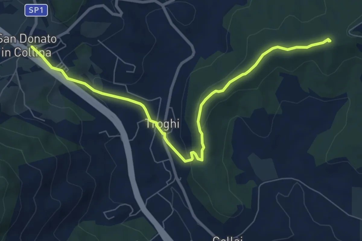
Easy · Summit
Rignano sull'Arno – Troghi
8.0 km · ↑ 250 m · 2 h 25 min · 14 km away
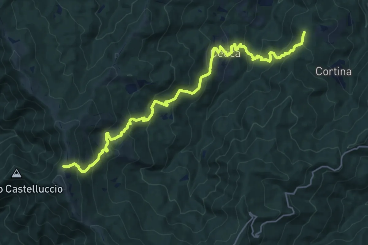
Demanding · Summit
Poppi – Sentiero 900 presso Varco di Gastra
19.6 km · ↑ 1145 m · 7 h 6 min · 14 km away
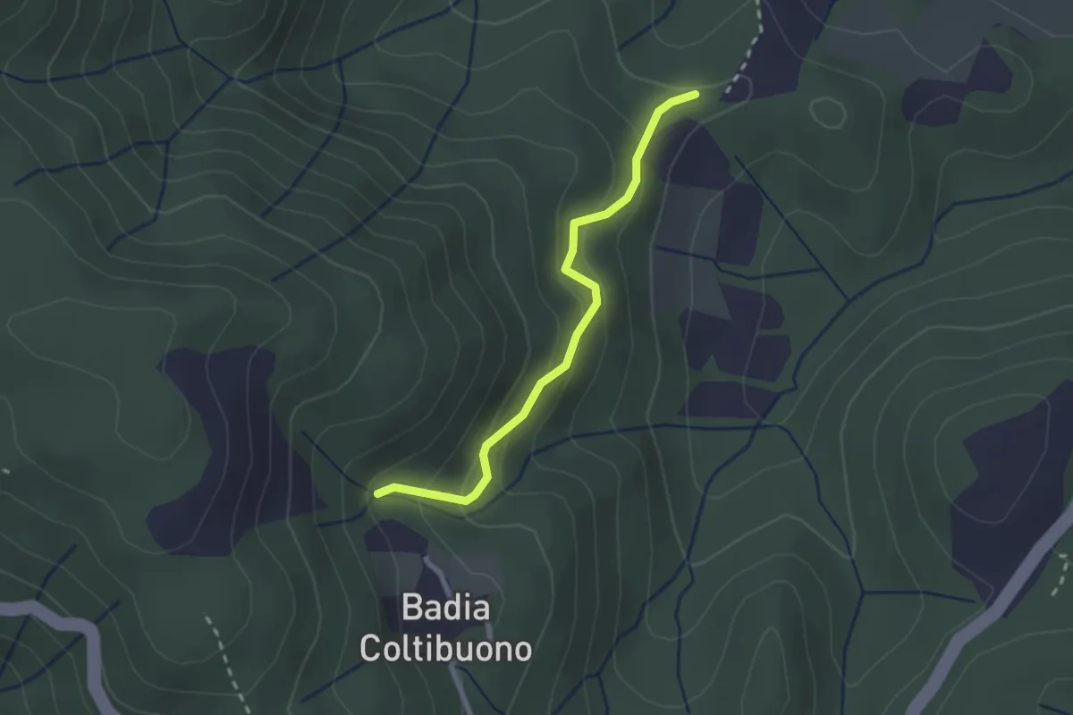
Easy · Trail
Trekking tra i castelli 7D (COLTIBUONO)
2.4 km · ↑ 197 m · 59 min · 14 km away
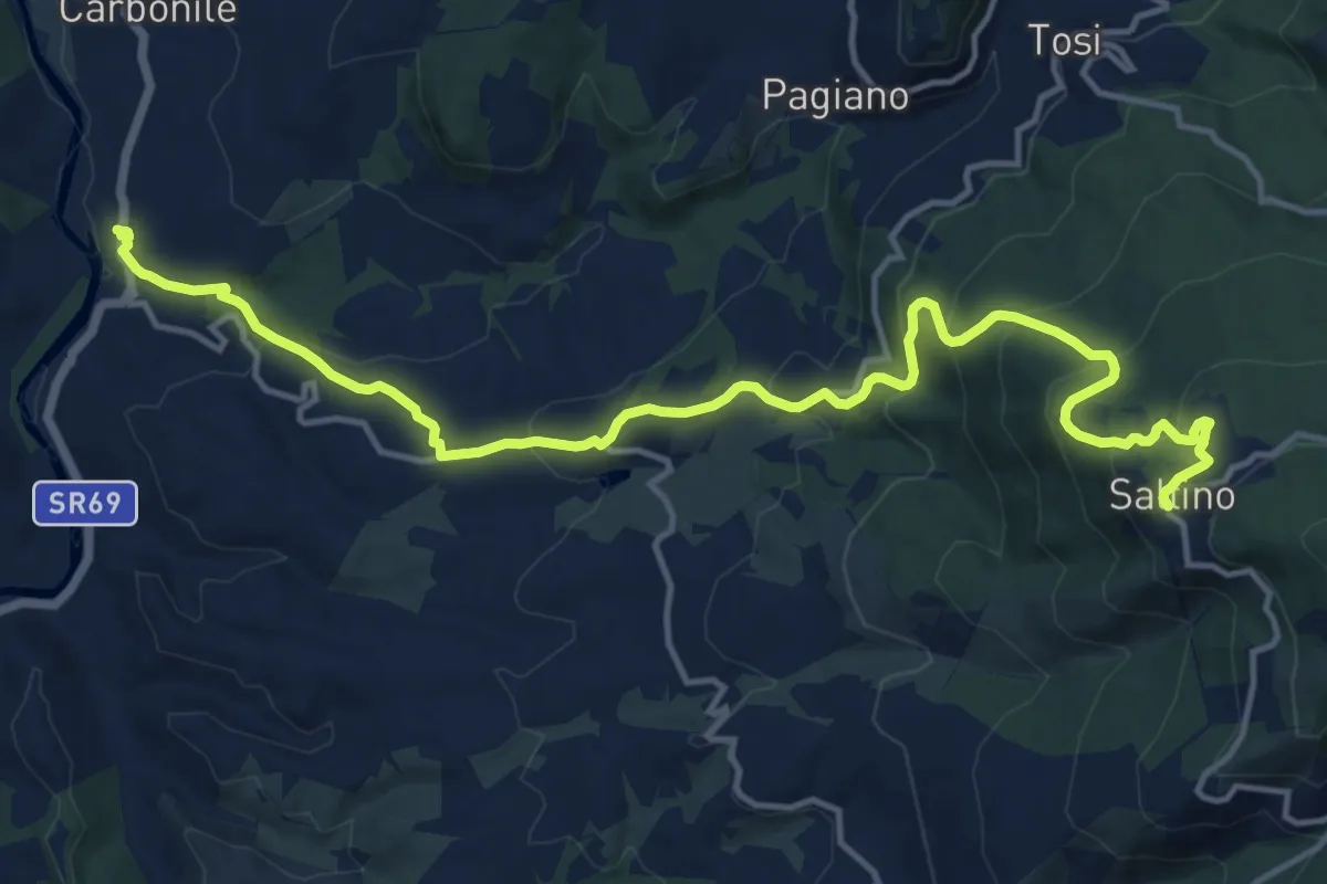
Demanding · Trail
Percorso ex ferrovia a cremagliera Sant'Ellero Saltino
17.4 km · ↑ 883 m · 6 h 1 min · 14 km away
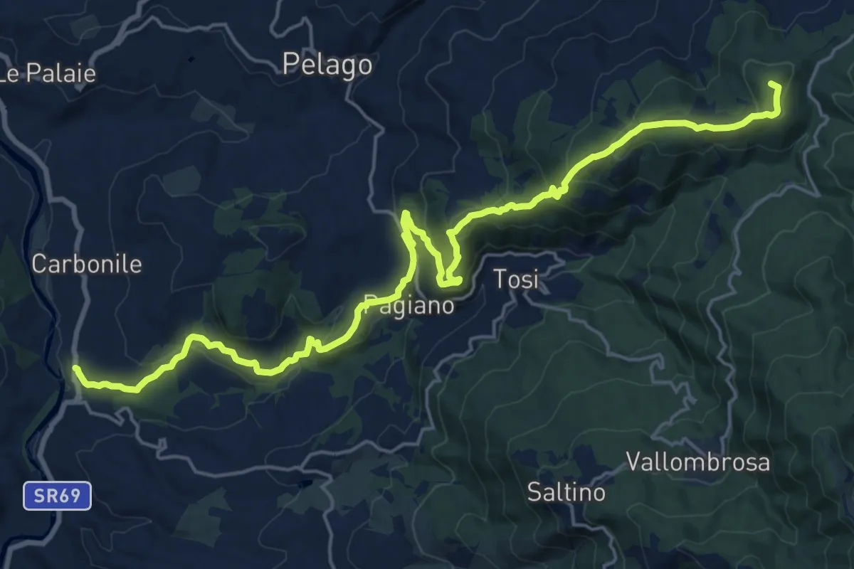
Demanding · Summit
Sant'Ellero – Consuma
25.0 km · ↑ 1091 m · 8 h 16 min · 14 km away
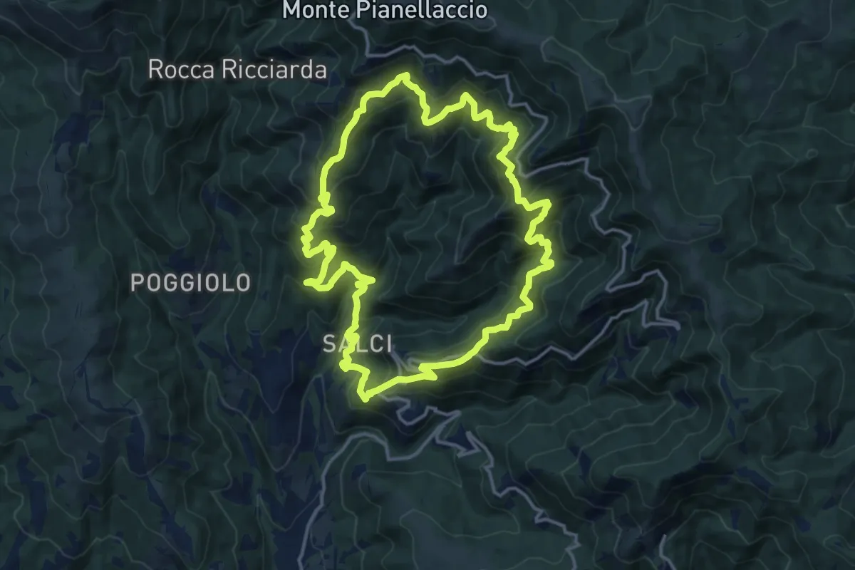
Demanding · Trail
Sentiero della Dondola
15.1 km · ↑ 1134 m · 6 h 14 min · 14 km away
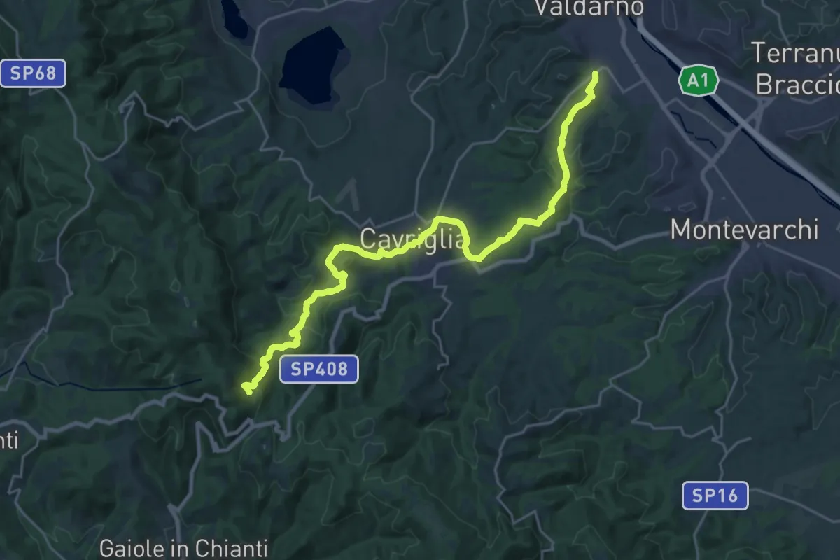
Medium · Trail
San Giovanni Valdarno – Badia a Coltibuono
13.4 km · ↑ 153 m · 3 h 55 min · 14 km away
Easy · Trail
Il Vignale – S.P. 85
2.3 km · ↑ 42 m · 38 min · 14 km away
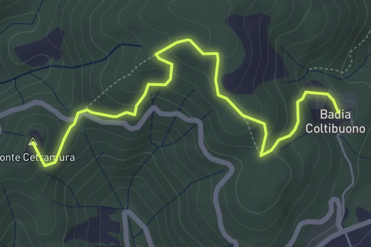
Medium · Summit
S. Donato in Perano – Badia a Coltibuono
5.6 km · ↑ 335 m · 2 h 3 min · 14 km away
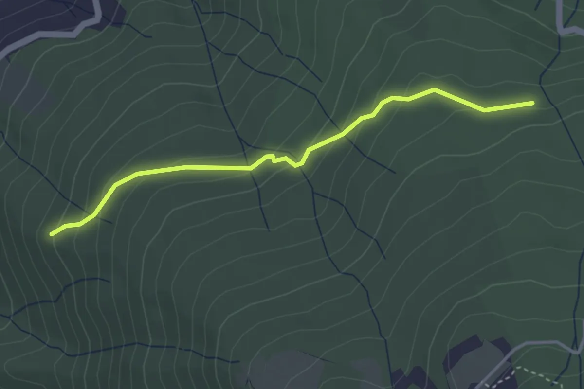
Easy · Trail
Raccordo Sentiero 9 – Incrocio Sentiero 913
3.5 km · ↑ 185 m · 1 h 14 min · 14 km away
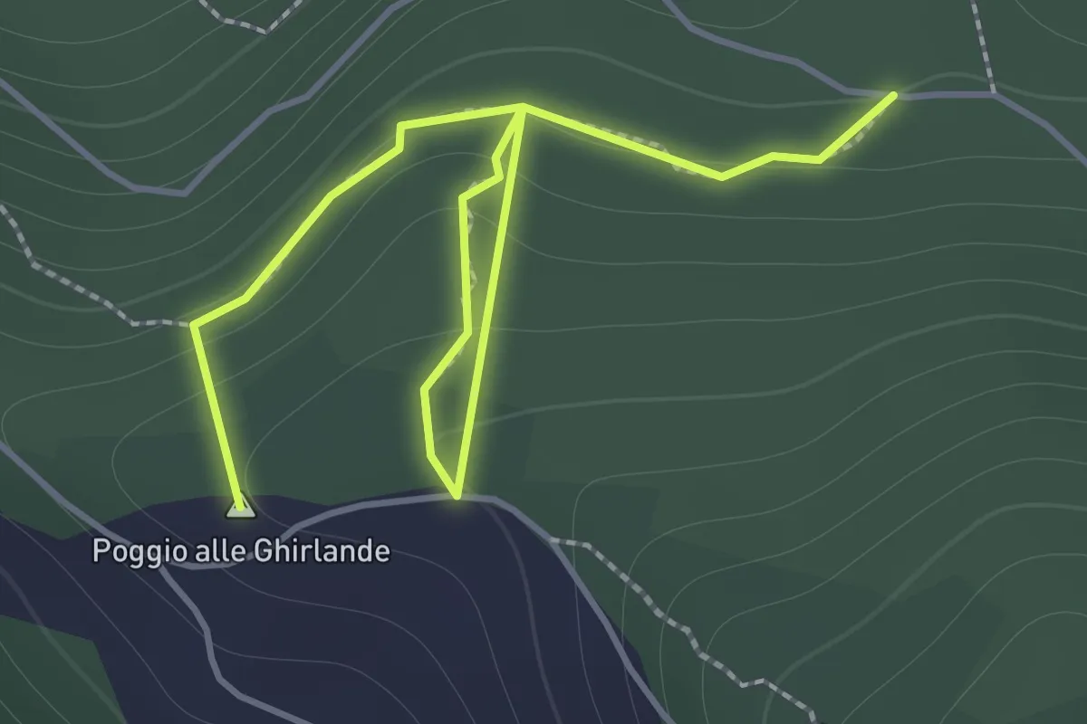
Easy · Summit
Sentieri 911, 912 – Sentiero 913
2.2 km · ↑ 152 m · 51 min · 14 km away
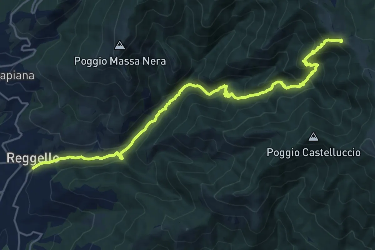
Demanding · Trail
Antica strada Reggellese
16.1 km · ↑ 1040 m · 6 h 4 min · 14 km away
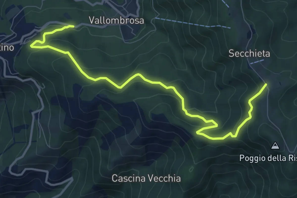
Medium · Trail
Vallombrosa – Secchieta
10.2 km · ↑ 503 m · 3 h 30 min · 14 km away
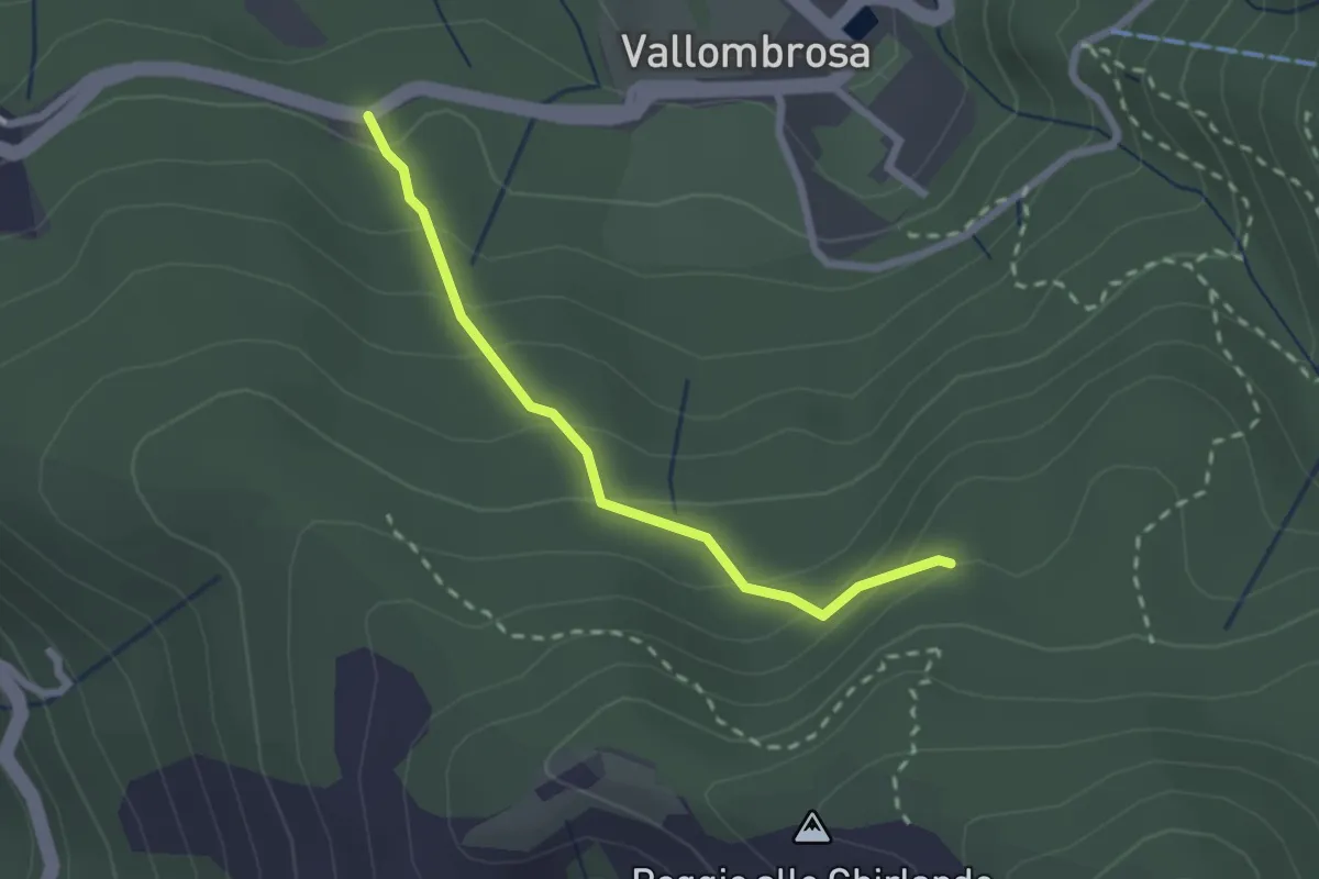
Easy · Trail
Vallombrosa – Secchieta
2.2 km · ↑ 179 m · 55 min · 14 km away
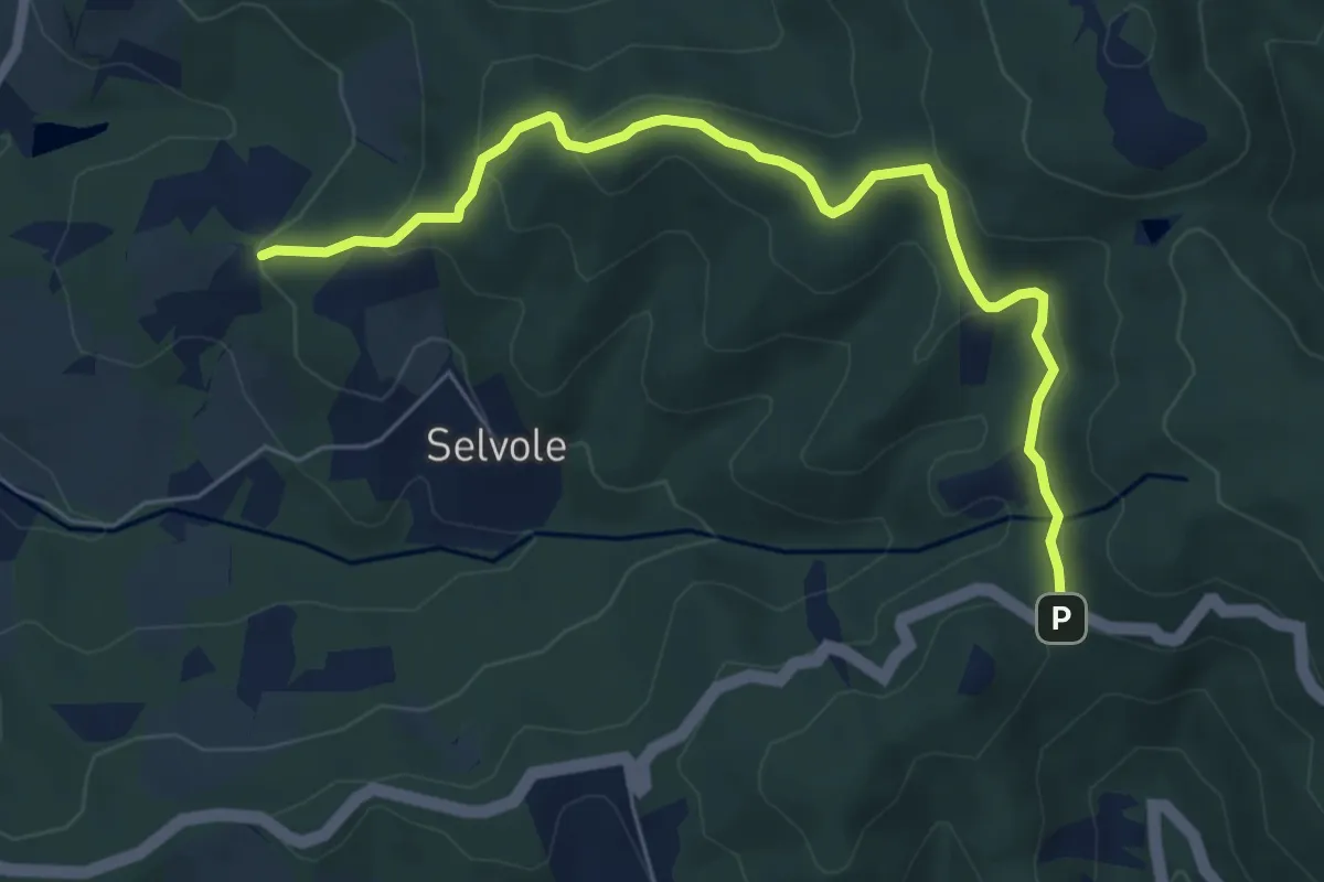
Easy · Trail
Pescinale – Sentiero 308
6.8 km · ↑ 285 m · 2 h 13 min · 14 km away
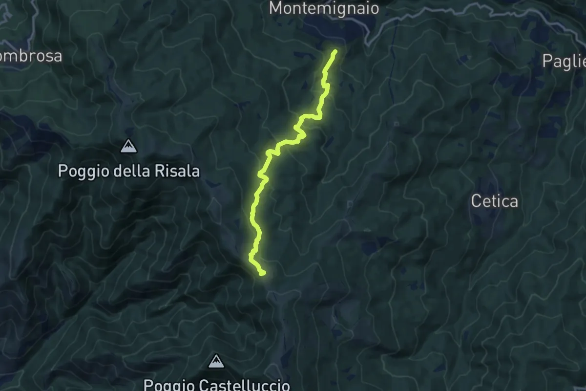
Medium · Trail
Innesto sentiero 927 presso Montemignaio – Sentiero 900 presso Varco di Reggello
11.0 km · ↑ 529 m · 3 h 44 min · 14 km away
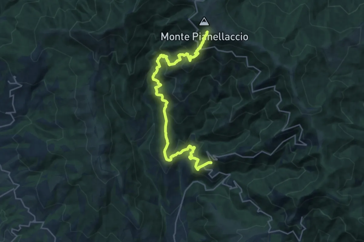
Demanding · Summit
Maestà di Bastiano – Croce di Pratomagno
20.1 km · ↑ 1670 m · 8 h 22 min · 14 km away
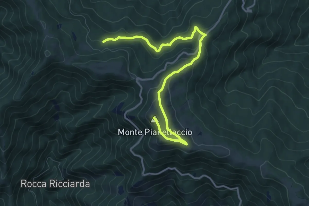
Medium · Summit
Hinkler Ring
10.3 km · ↑ 458 m · 3 h 25 min · 14 km away
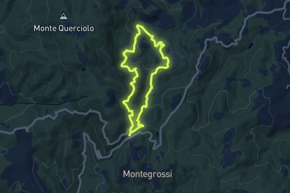
Medium · Trail
Trekking tra i castelli 7 (COLTIBUONO)
7.7 km · ↑ 356 m · 2 h 41 min · 14 km away
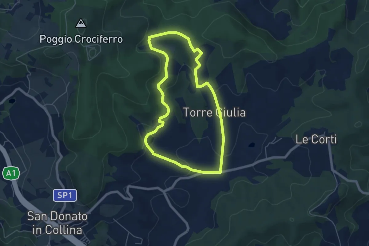
Easy · Trail
Percorso della Memoria
5.0 km · ↑ 143 m · 1 h 33 min · 14 km away