Trails near Fiorano Modenese
34 hikes starting within 15 km, nearest first.
Nearest first
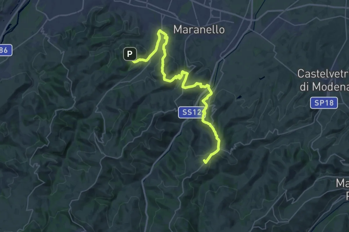
Demanding · Summit
Sentiero dei Vulcani di fango Tappa 3
29.6 km · ↑ 860 m · 8 h 52 min · 3 km away
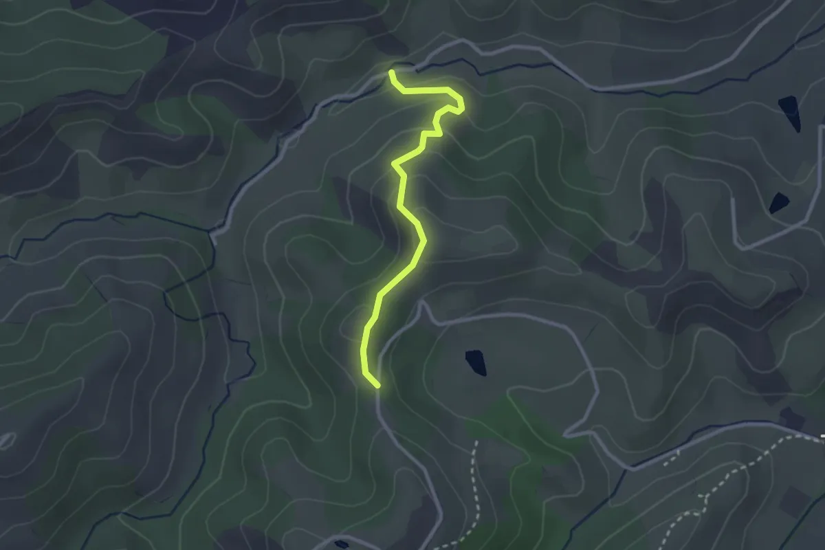
Easy · Trail
Sentiero del Gheppio
2.5 km · ↑ 120 m · 52 min · 3 km away
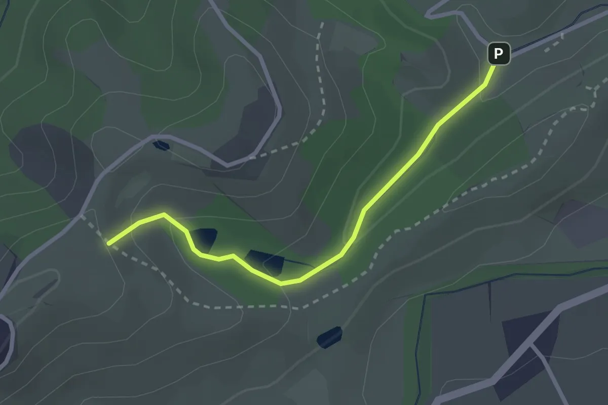
Easy · Trail
Sentiero dei Tritoni
2.5 km · ↑ 93 m · 47 min · 3 km away
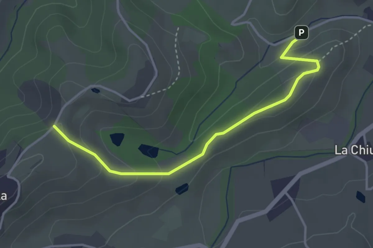
Easy · Trail
Sentiero del Capriolo
3.6 km · ↑ 130 m · 1 h 8 min · 3 km away
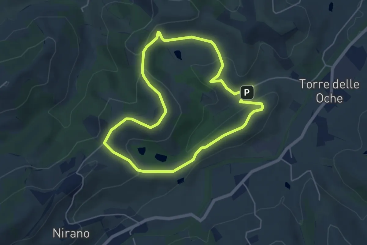
Easy · Trail
Giro delle Salse
4.3 km · ↑ 126 m · 1 h 21 min · 3 km away
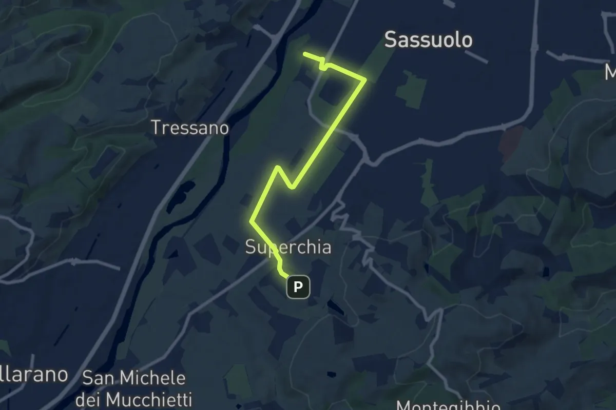
Easy · Trail
Percorso natura Secchia – Terme della Salvarola
7.6 km · ↑ 54 m · 1 h 55 min · 4 km away
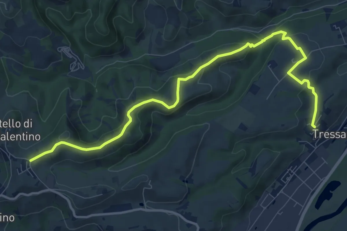
Medium · Trail
Tressano – Castello di San Valentino
11.0 km · ↑ 340 m · 3 h 20 min · 5 km away
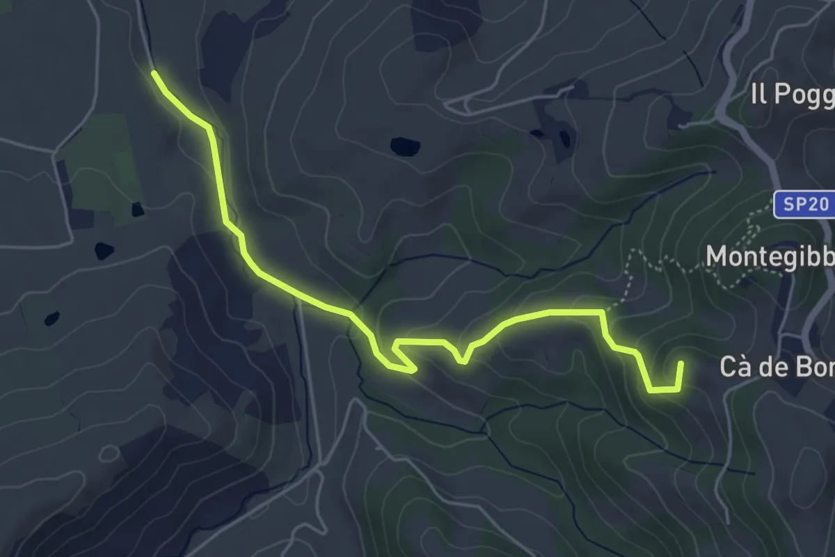
Easy · Summit
Via Vallurbana bivio La Brutta – Montegibbio
5.4 km · ↑ 204 m · 1 h 42 min · 5 km away
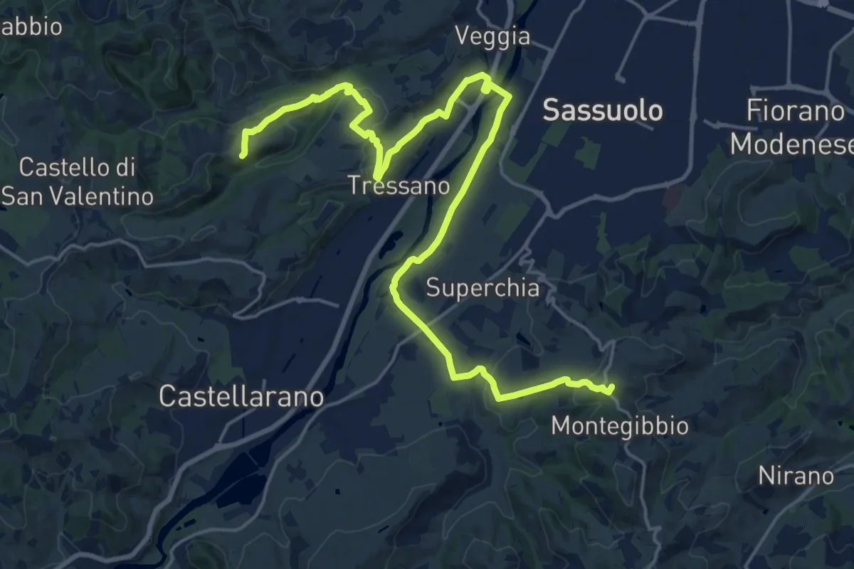
Demanding · Summit
Sentiero dei Vulcani di fango Tappa 2
24.6 km · ↑ 563 m · 7 h 2 min · 7 km away
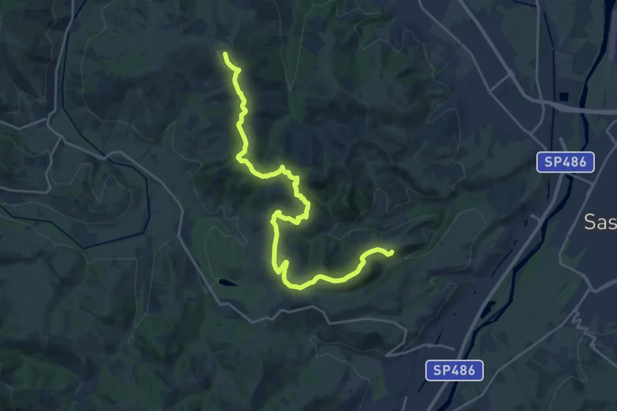
Demanding · Summit
Sentiero dei Vulcani di Fango - Tappa 1
19.1 km · ↑ 478 m · 5 h 33 min · 7 km away
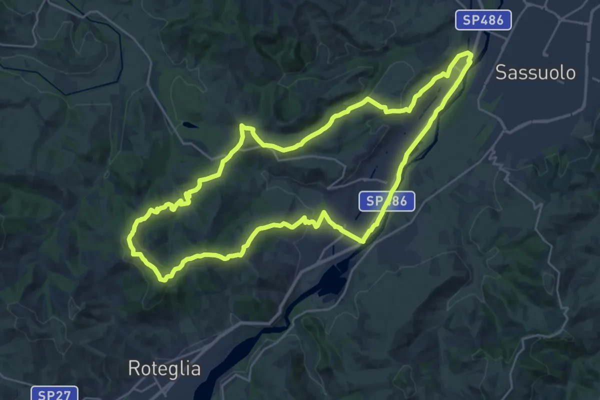
Demanding · Summit
Castellarano – Castellarano
22.3 km · ↑ 489 m · 6 h 37 min · 7 km away
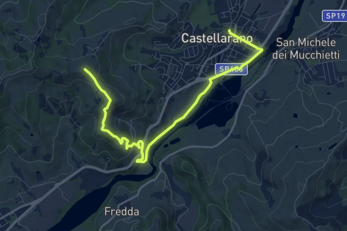
Medium · Trail
Castellarano – Monte Le Malee
11.4 km · ↑ 327 m · 3 h 24 min · 7 km away
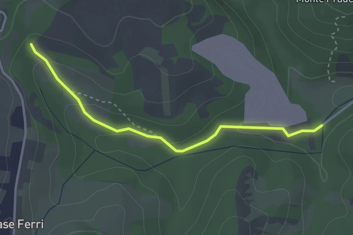
Easy · Trail
Percorso 602D – Parcheggio Rio Rocca
2.8 km · ↑ 98 m · 53 min · 8 km away
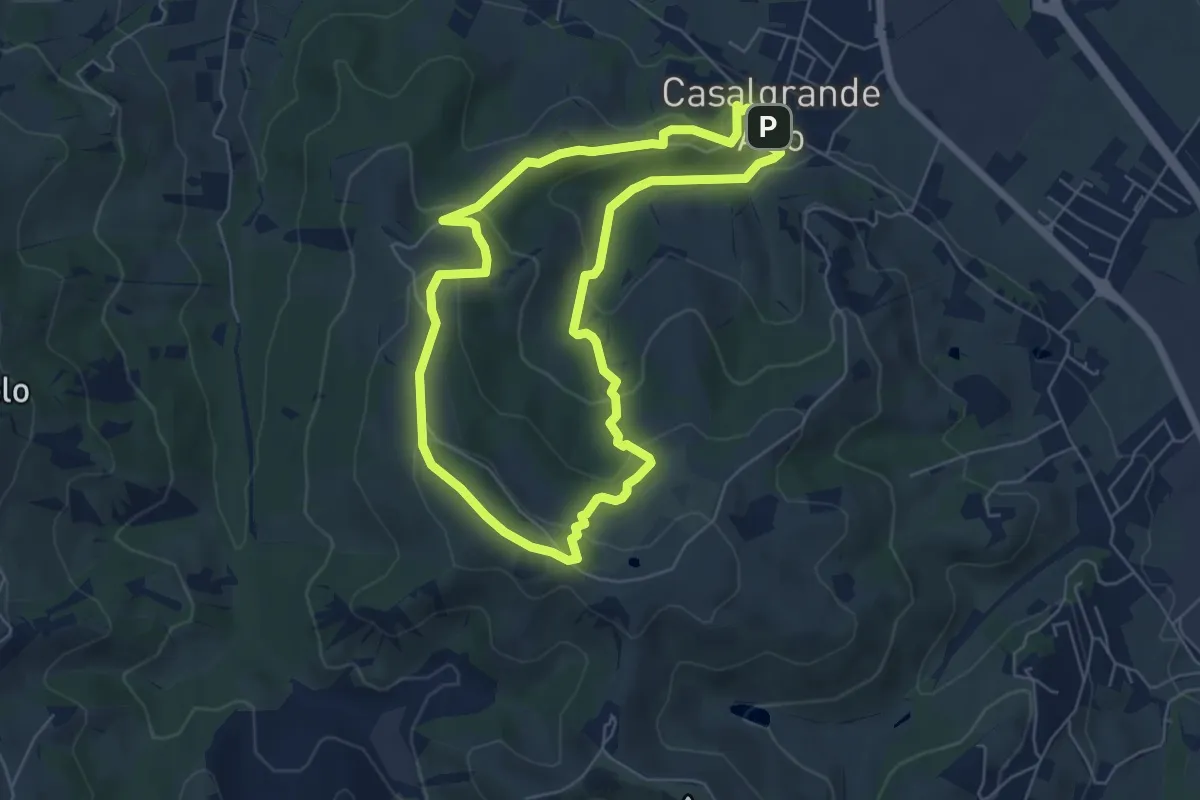
Easy · Summit
Casalgrande Alto – Casalgrande Alto
5.9 km · ↑ 223 m · 1 h 57 min · 8 km away
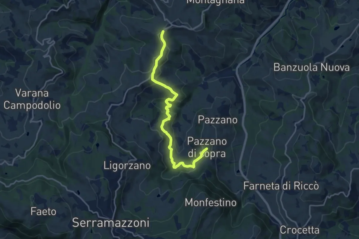
Medium · Trail
Montardone – Pazzano
12.4 km · ↑ 433 m · 3 h 52 min · 8 km away
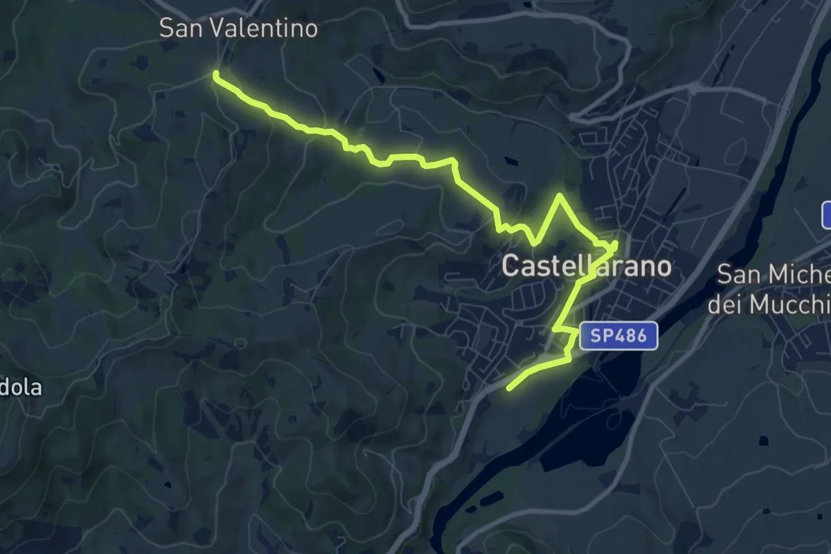
Medium · Trail
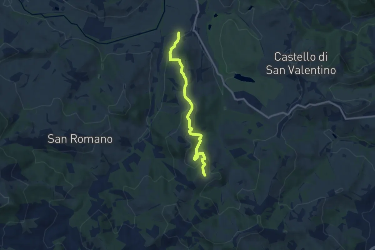
Sentiero del rosario
10.3 km · ↑ 224 m · 2 h 56 min · 9 km away
Easy · Trail
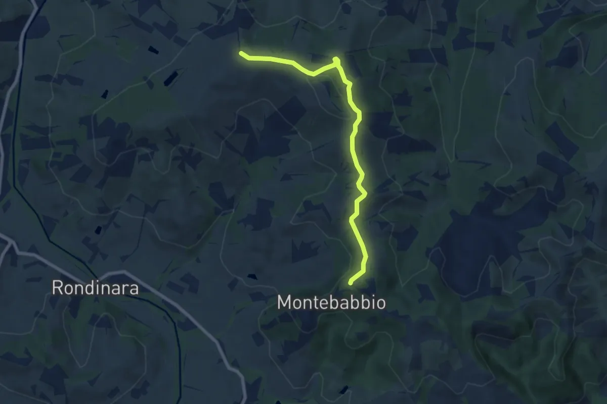
Gavardo – Telarolo
7.2 km · ↑ 289 m · 2 h 20 min · 11 km away
Easy · Trail
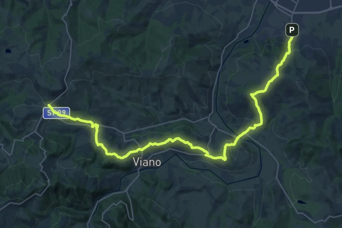
Montebabbio – Sentiero Spallanzani
7.0 km · ↑ 166 m · 2 h · 11 km away
Medium · Trail
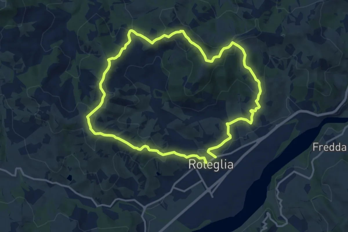
Sentiero Lazzaro Spallanzani - Tappa 2
14.9 km · ↑ 718 m · 5 h 9 min · 11 km away
Medium · Summit
Roteglia – Roteglia
10.4 km · ↑ 417 m · 3 h 30 min · 12 km away
Medium · Trail
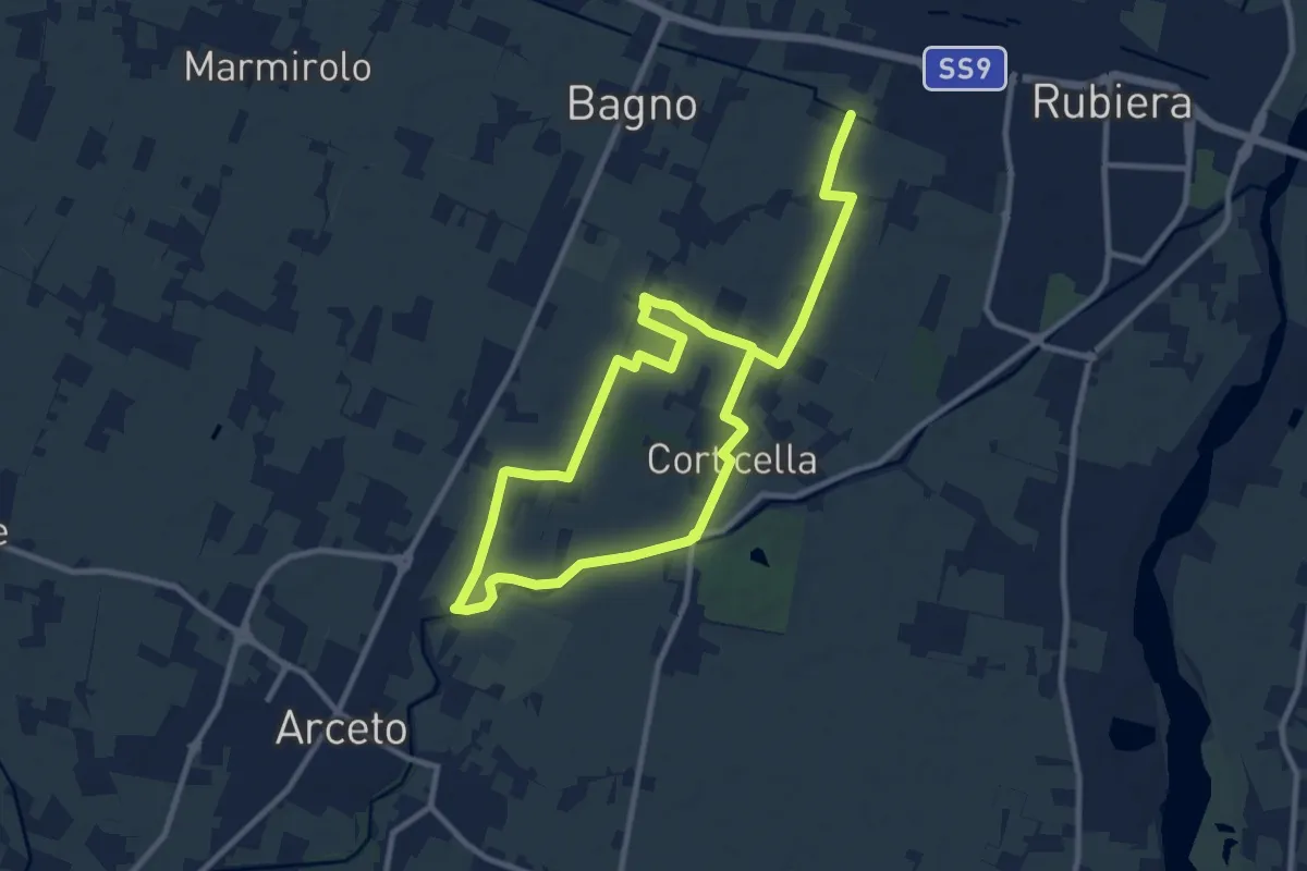
Anello di Corticella
17.5 km · ↑ 21 m · 4 h 11 min · 12 km away
Easy · Trail
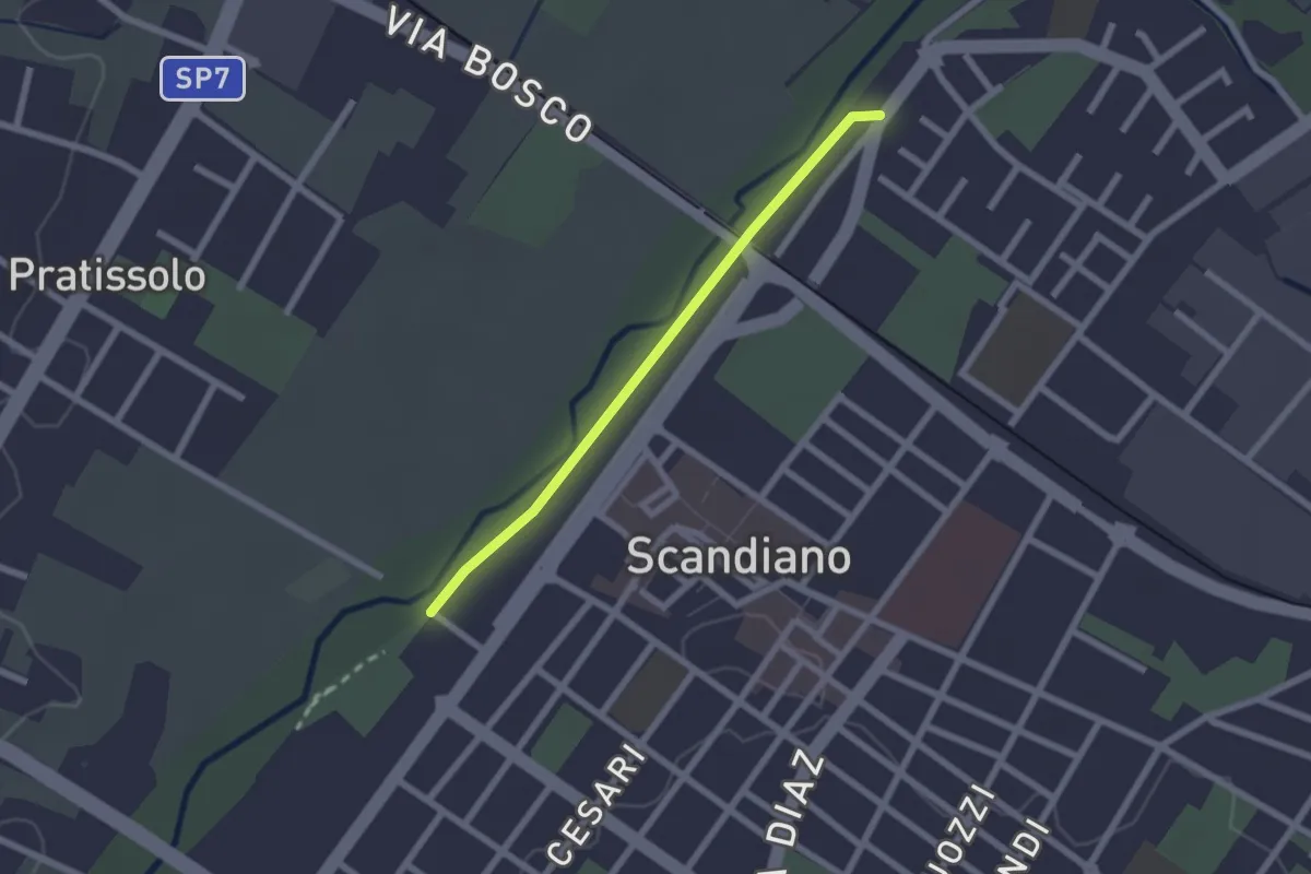
Sentiero Lazzaro Spallanzani tappa 1 variante
2.0 km · ↑ 4 m · 29 min · 12 km away
Easy · Trail
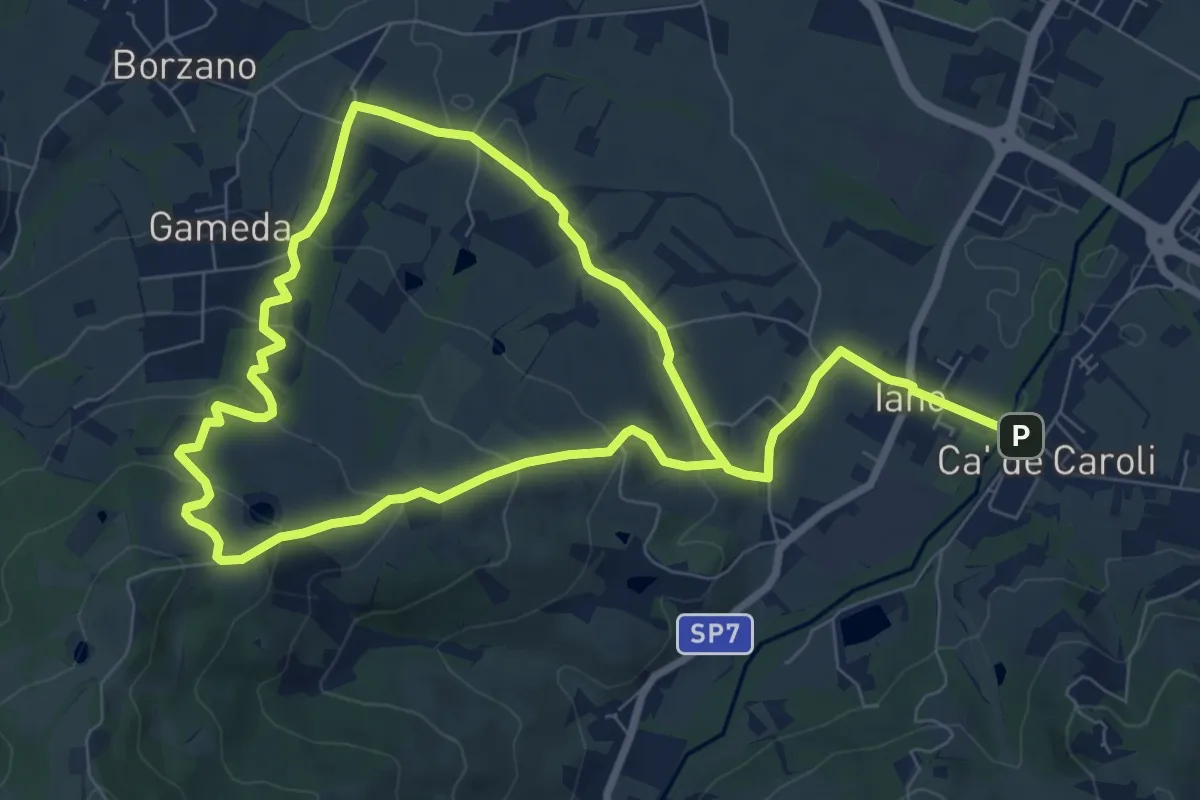
Cà de Caroli – Cà de Caroli
7.6 km · ↑ 275 m · 2 h 29 min · 12 km away
Medium · Summit
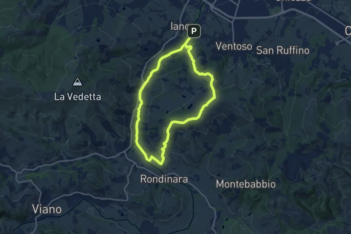
Ca' de Caroli – Ca' de Caroli
9.9 km · ↑ 296 m · 3 h 7 min · 12 km away
Medium · Trail
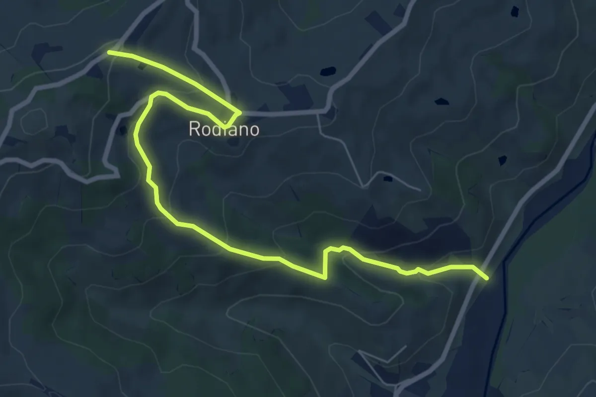
SP4 – Percorso 412
7.7 km · ↑ 400 m · 2 h 41 min · 13 km away
Medium · Trail
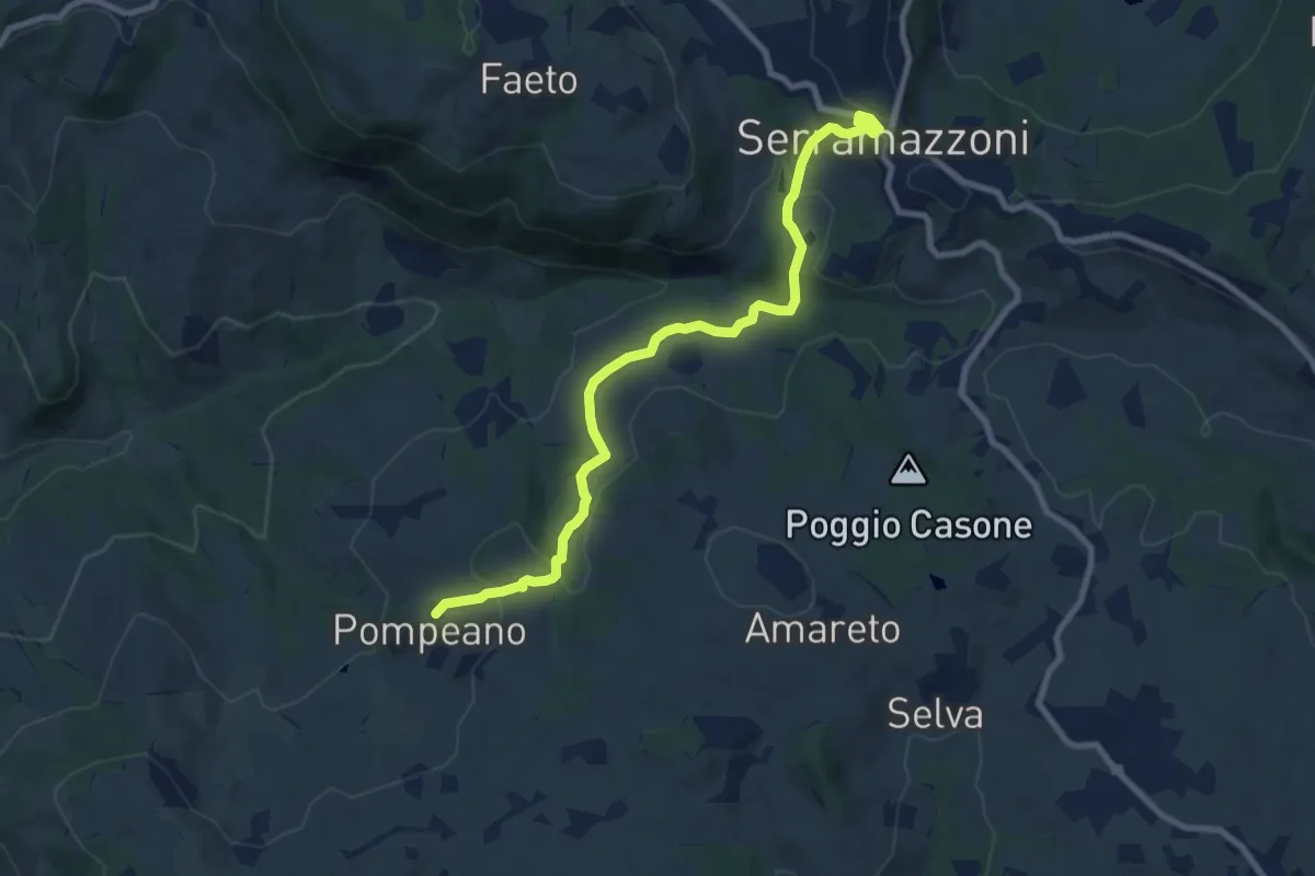
Serramazzoni – Pompeano
9.2 km · ↑ 405 m · 3 h 3 min · 13 km away
Medium · Trail
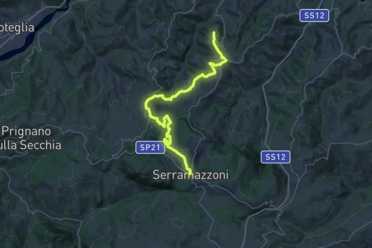
Serramazzoni – Rocca Santa Maria
13.7 km · ↑ 332 m · 4 h 20 min · 13 km away
Demanding · Summit
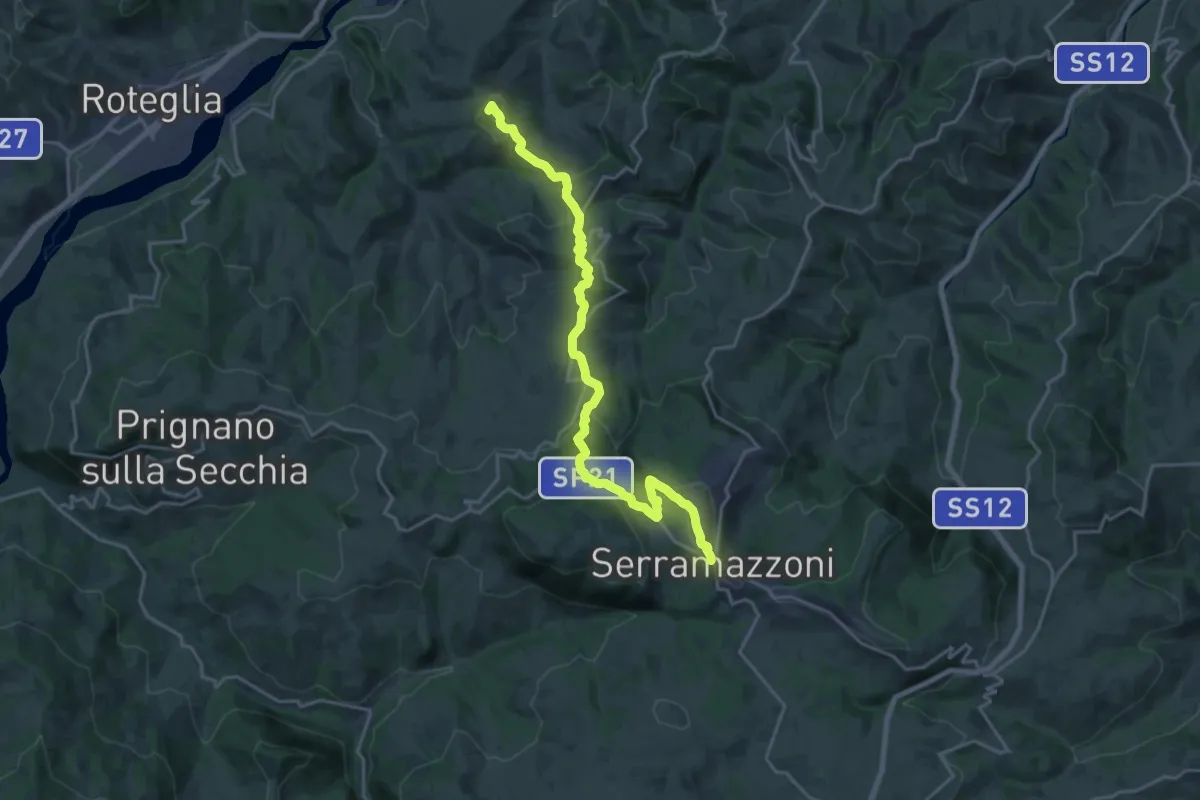
Via Vandelli sassuolese
21.6 km · ↑ 809 m · 6 h 51 min · 13 km away
Demanding · Summit
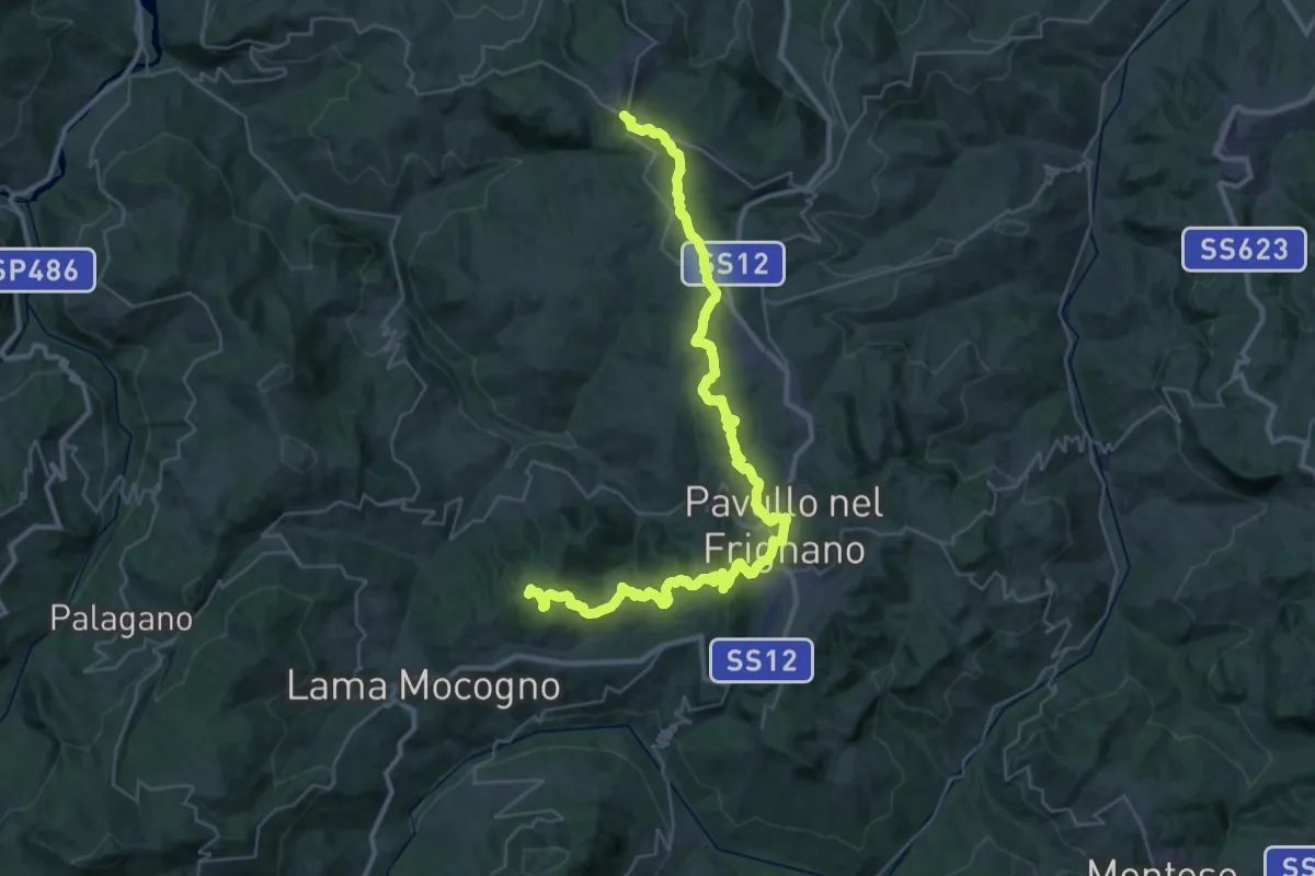
Serramazzoni – La Berzigala
45.7 km · ↑ 1543 m · 14 h 7 min · 13 km away
Medium · Trail
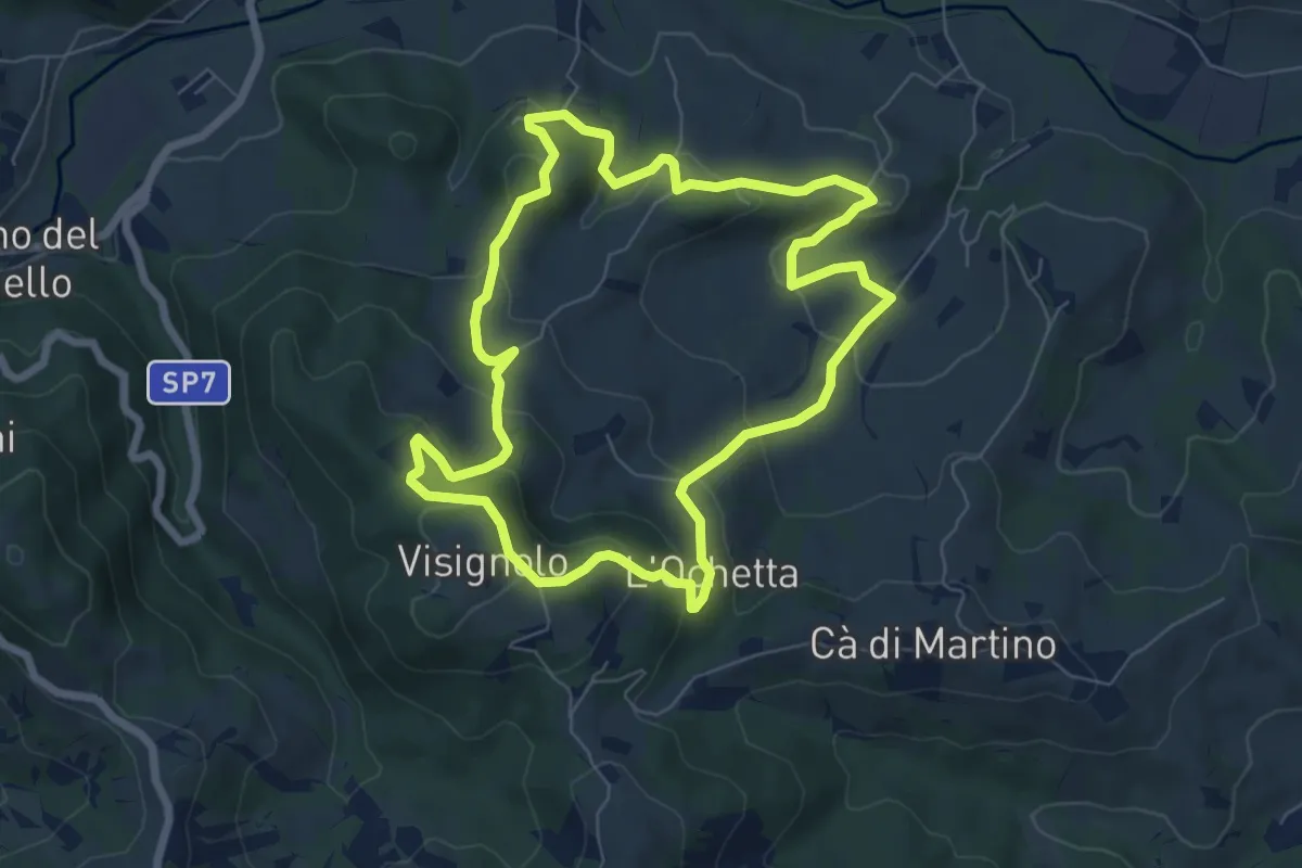
Visignolo – Visignolo
7.0 km · ↑ 324 m · 2 h 27 min · 13 km away
Medium · Trail
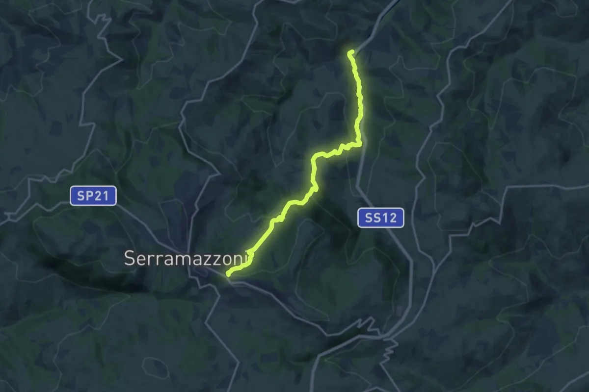
Oglio di Sopra – Serramazzoni
14.0 km · ↑ 620 m · 4 h 38 min · 13 km away
Medium · Trail
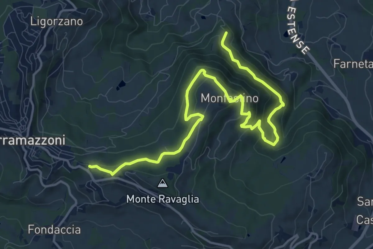
Ca' Tonini – Serramazzoni
13.9 km · ↑ 673 m · 4 h 44 min · 13 km away
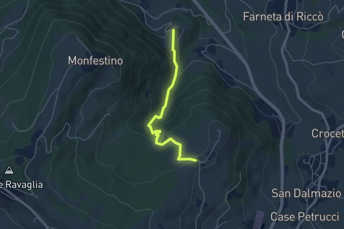
Medium · Trail
Granarolo – Casa Alfieri
4.2 km · ↑ 227 m · 1 h 28 min · 14 km away
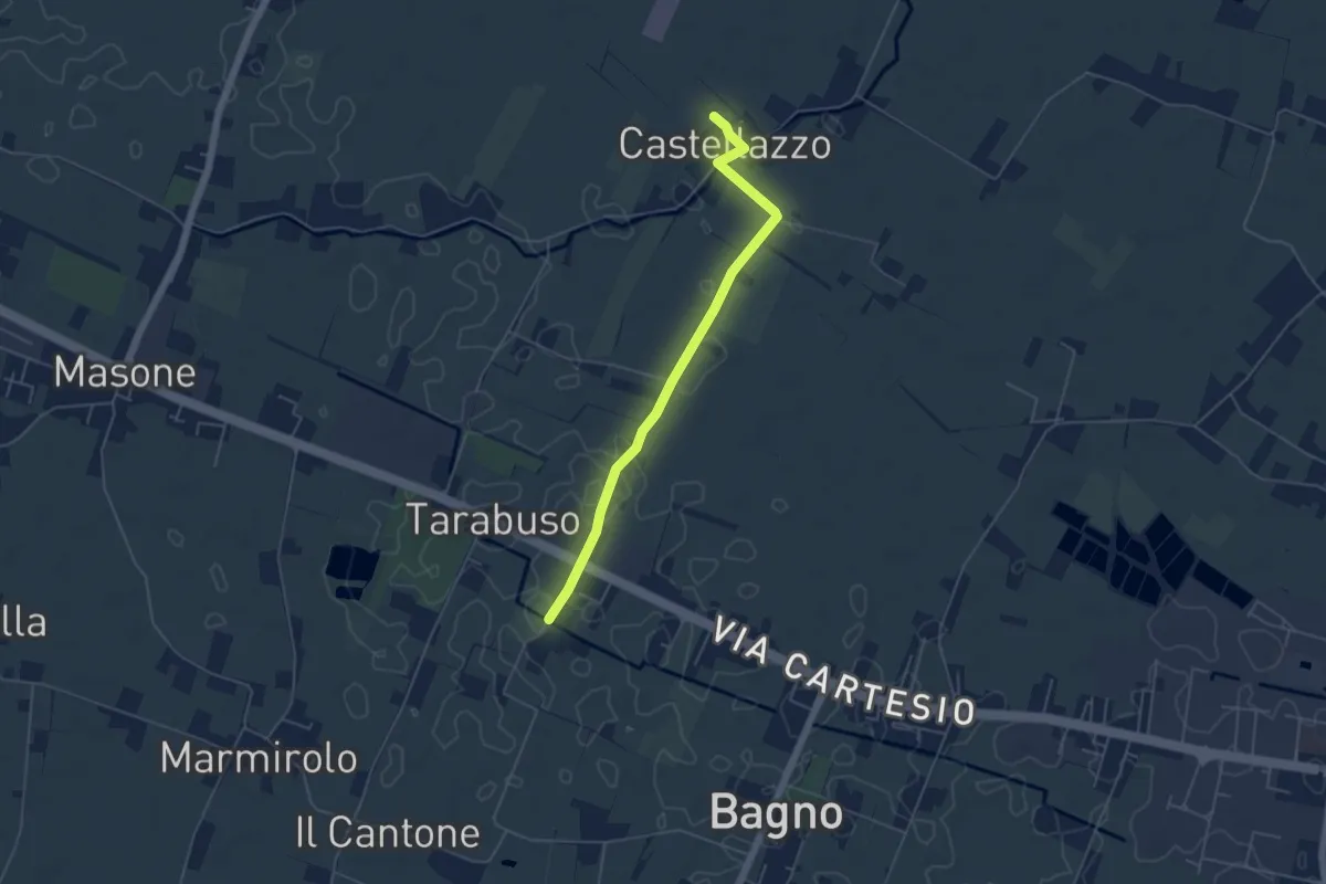
Easy · Trail
Diramazione di Castellazzo
5.1 km · ↑ 4 m · 1 h 13 min · 15 km away