Trails near Fiuggi
35 hikes starting within 15 km, nearest first.
Nearest first
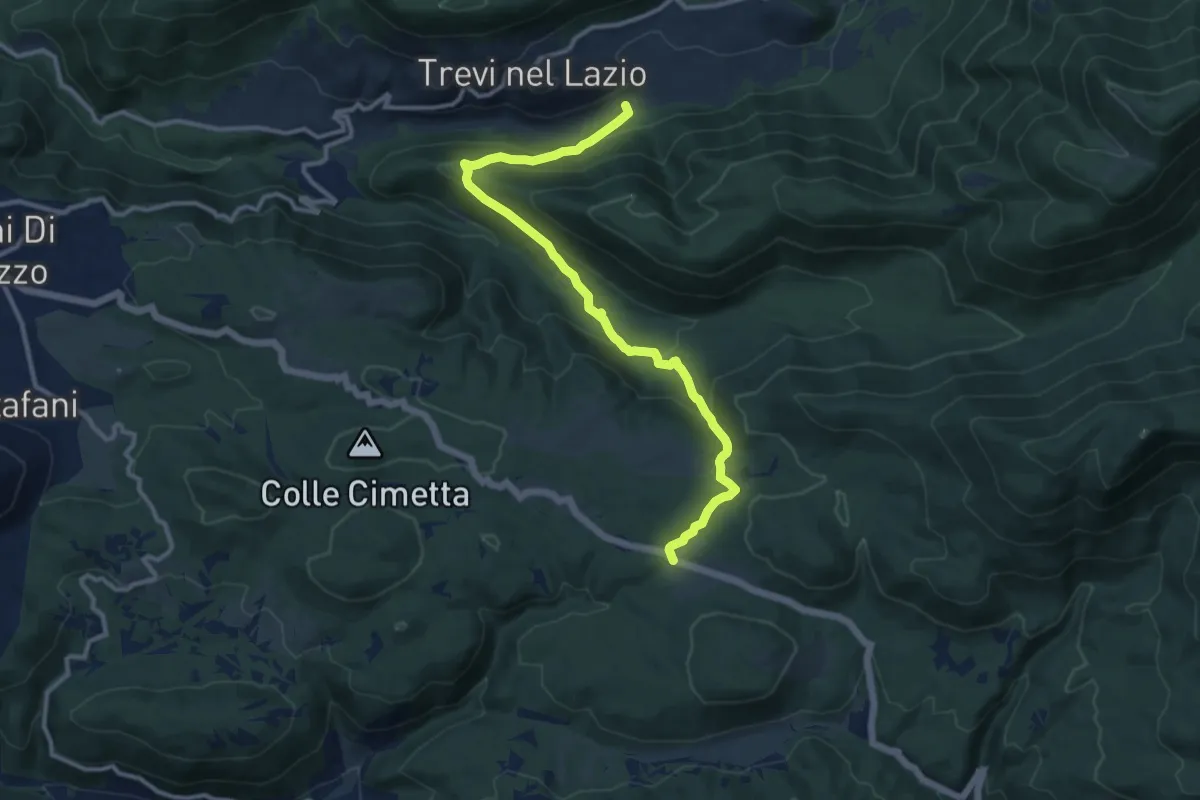
Medium · Trail
Arco di Trevi - Santa Maria della Portella - Ponte di San Teodoro
12.7 km · ↑ 528 m · 4 h 9 min · 5 km away
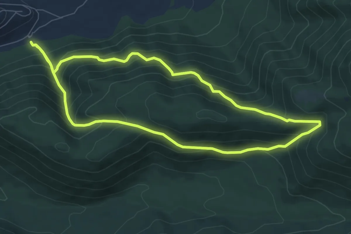
Medium · Trail
Anello Ponte San Teodoro
7.3 km · ↑ 640 m · 3 h 13 min · 7 km away
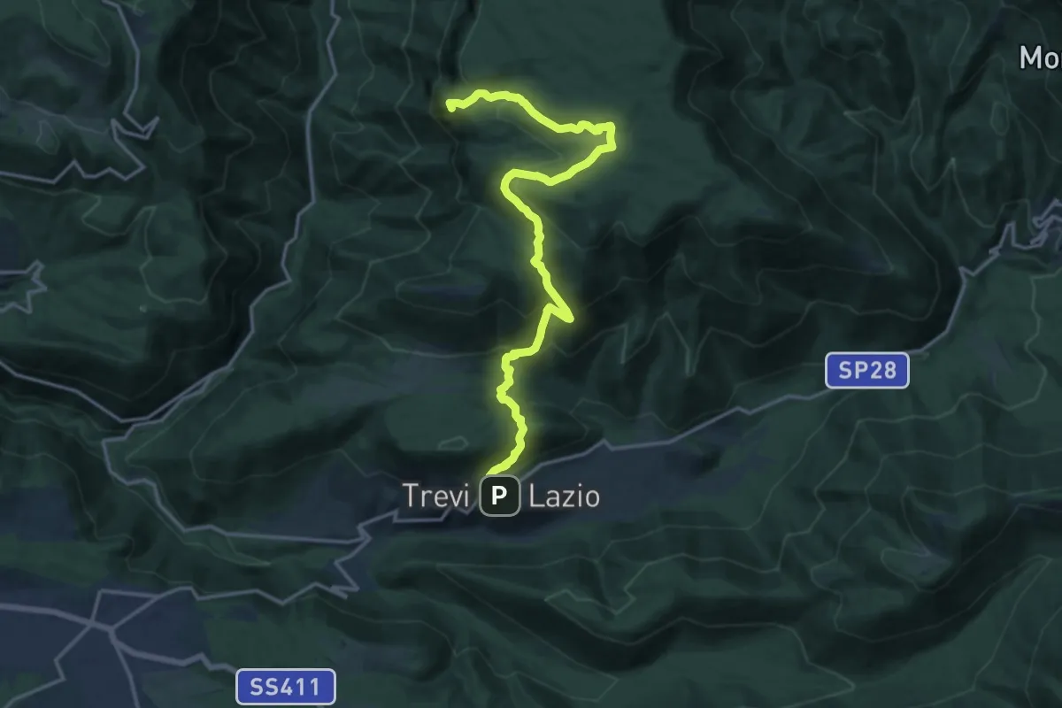
Demanding · Summit
Trevi nel Lazio - Le Fontane - Fontana Faito - Vallepietra
18.1 km · ↑ 945 m · 6 h 19 min · 7 km away
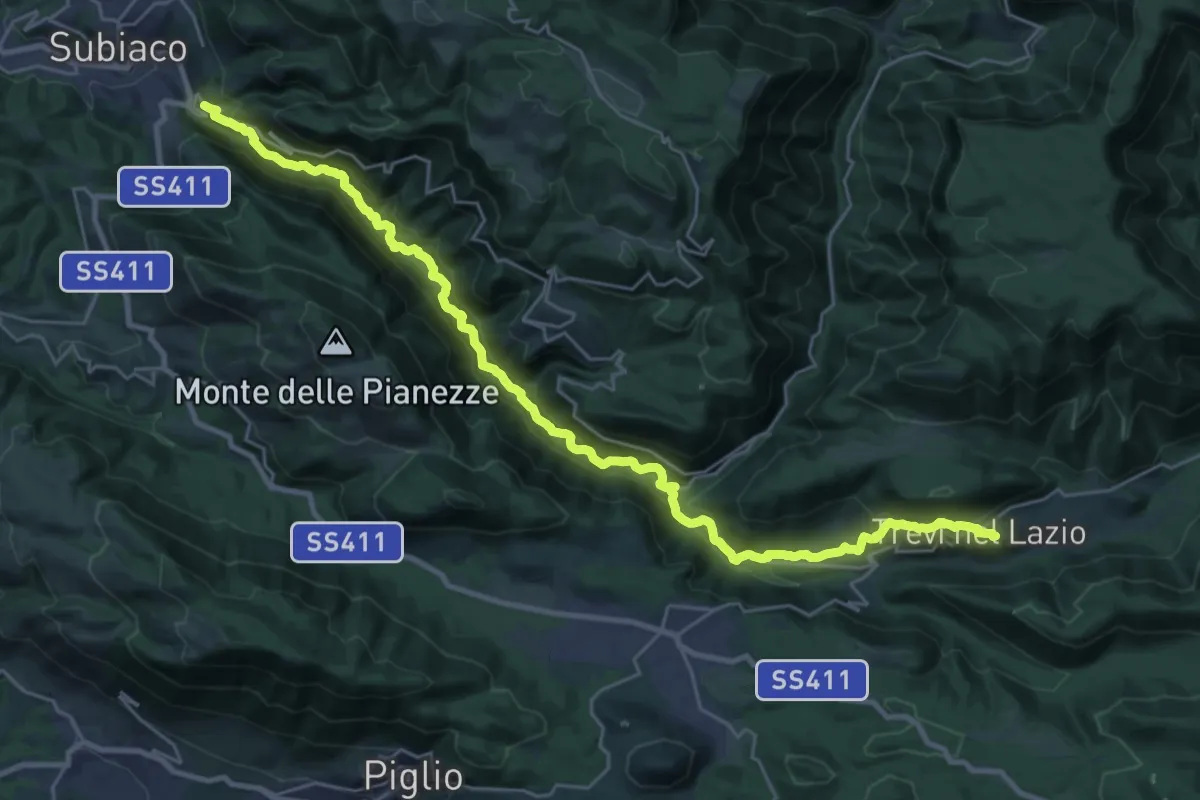
Medium · Trail
Cammino di San Benedetto - Tappa 11
16.7 km · ↑ 445 m · 5 h 17 min · 7 km away
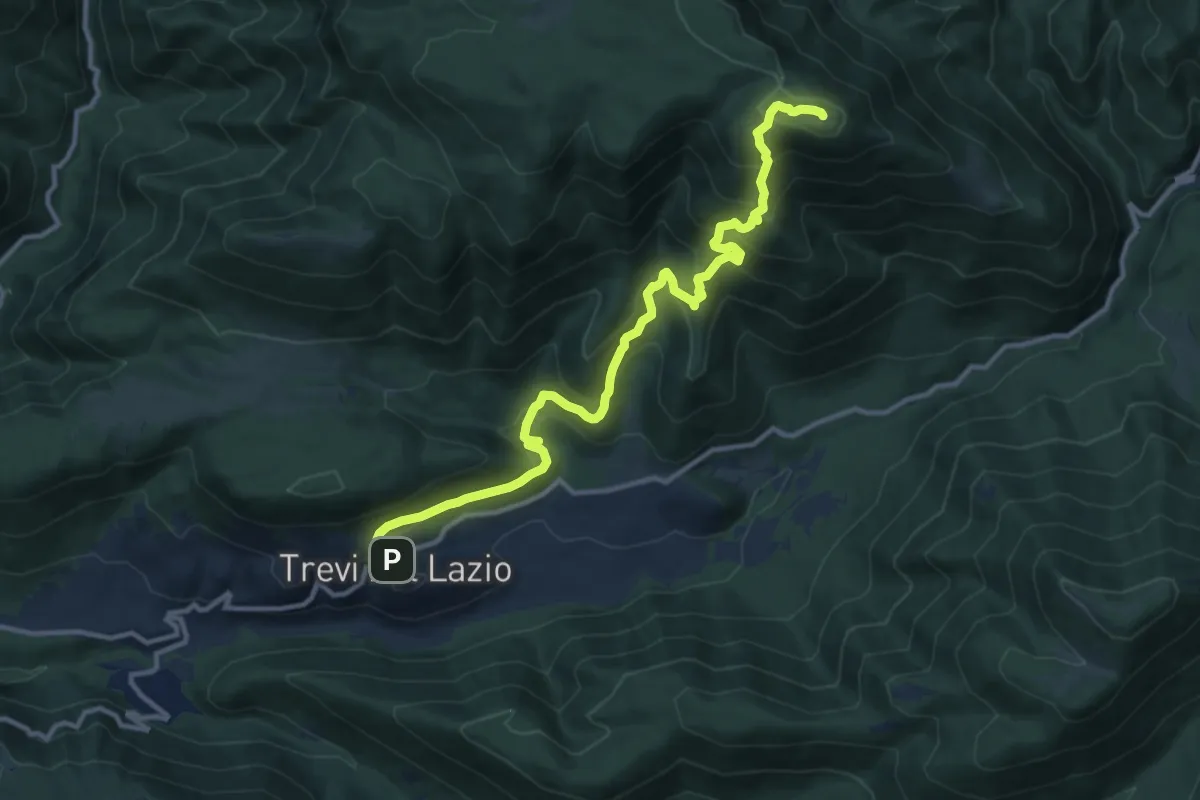
Demanding · Summit
Trevi nel Lazio - Monte San Leonardo - Filettino
13.9 km · ↑ 941 m · 5 h 19 min · 8 km away
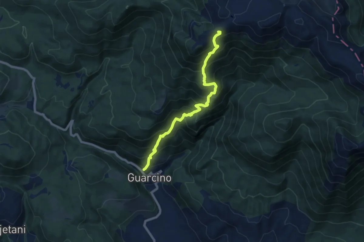
Demanding · Trail
Guarcino - Colle Pannunzio - Campocatino
10.8 km · ↑ 1133 m · 5 h · 8 km away
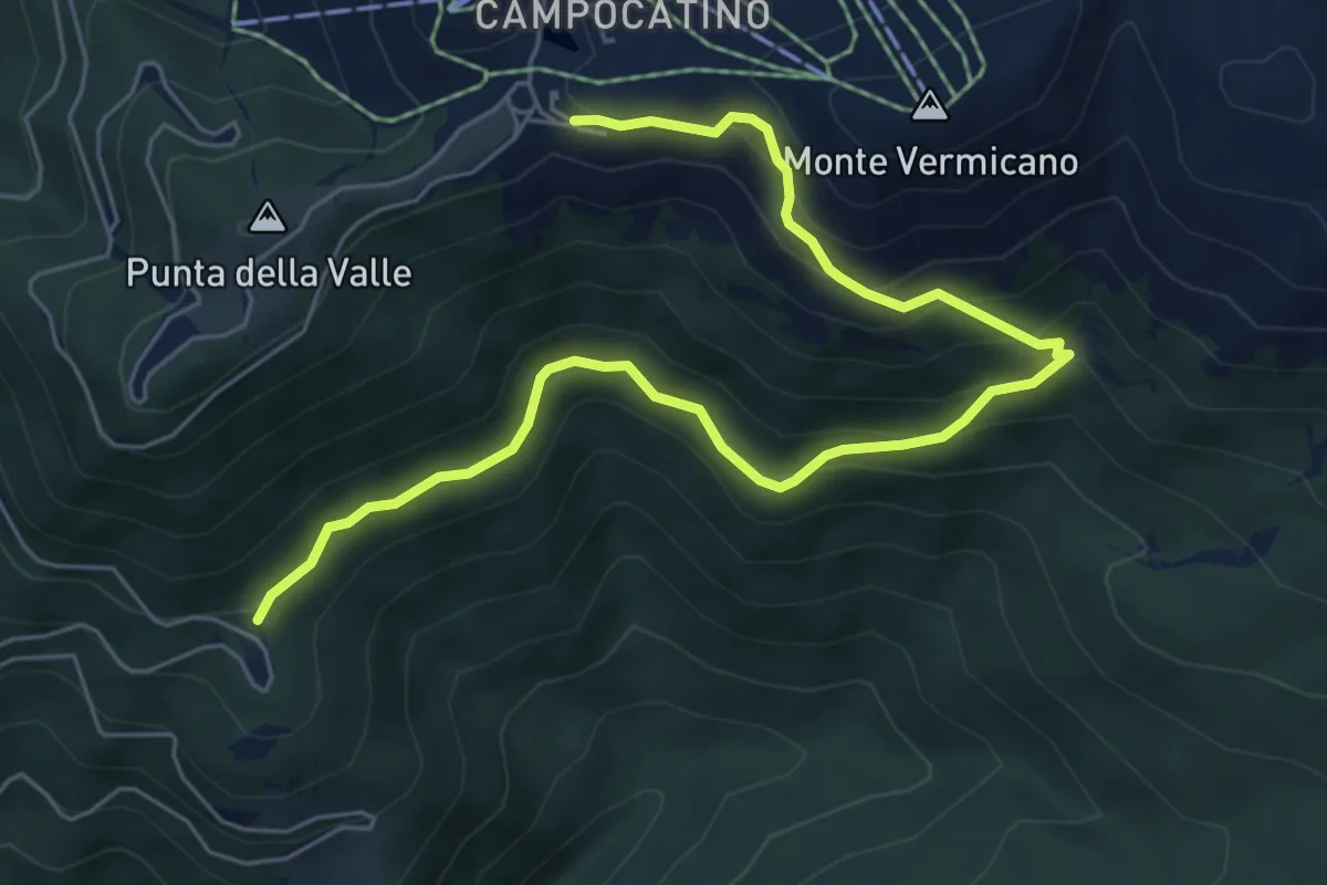
Medium · Cabin
Colle Pannunzio - Sorgenti Vermicano - Campocatino
7.6 km · ↑ 564 m · 3 h 1 min · 9 km away
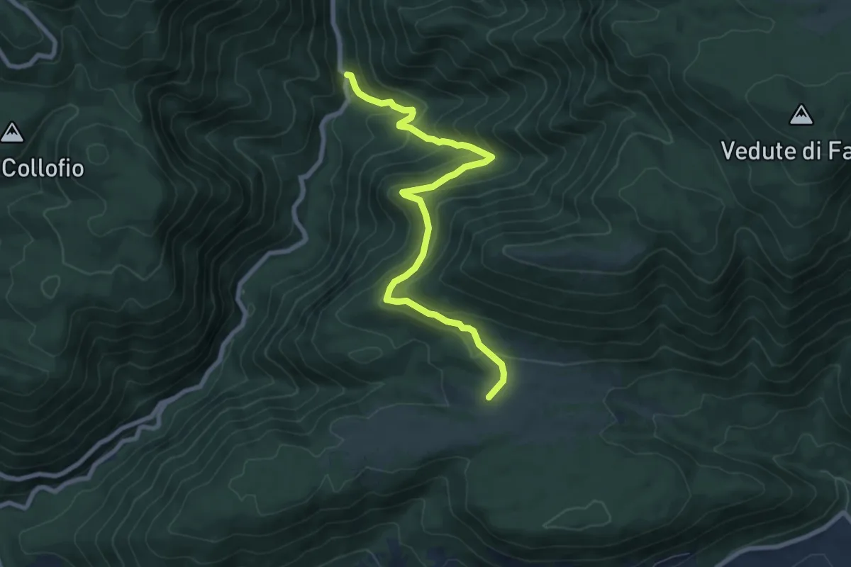
Medium · Summit
Trevi nel Lazio-Ponte Castello
8.2 km · ↑ 526 m · 3 h 4 min · 11 km away
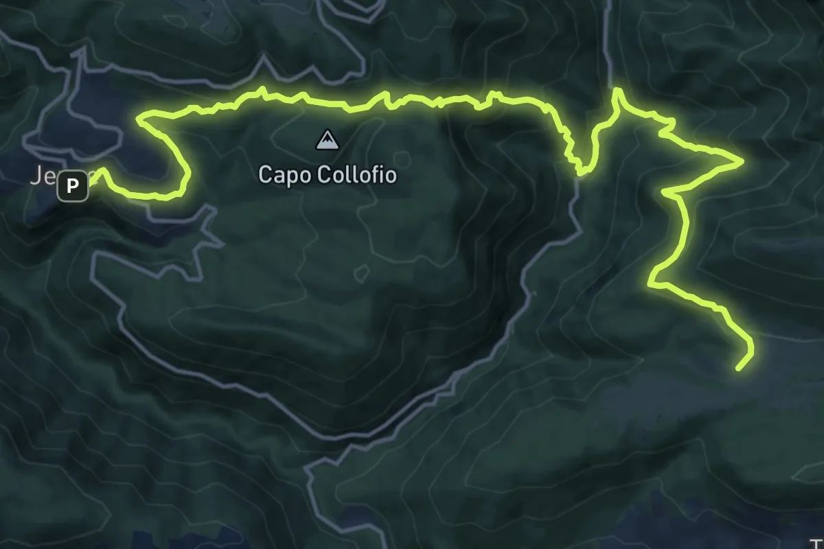
Demanding · Summit
Via dei Lupi - Tappa 07
22.2 km · ↑ 1368 m · 8 h 13 min · 11 km away
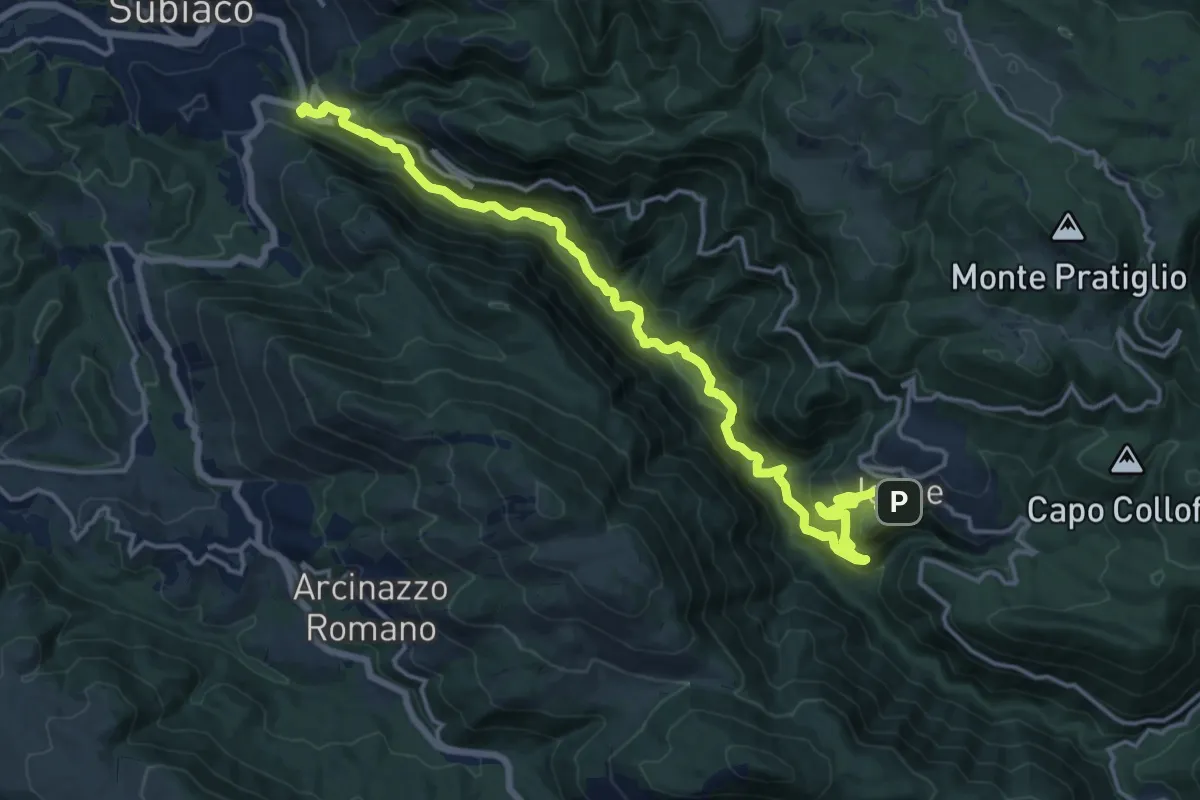
Demanding · Trail
Sentiero Coleman - Tappa 1
20.1 km · ↑ 1126 m · 7 h 10 min · 11 km away
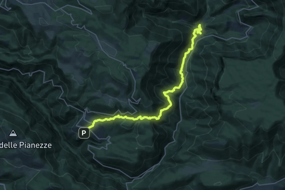
Demanding · Trail
Sentiero Coleman - Tappa 2
20.7 km · ↑ 1085 m · 7 h 15 min · 11 km away
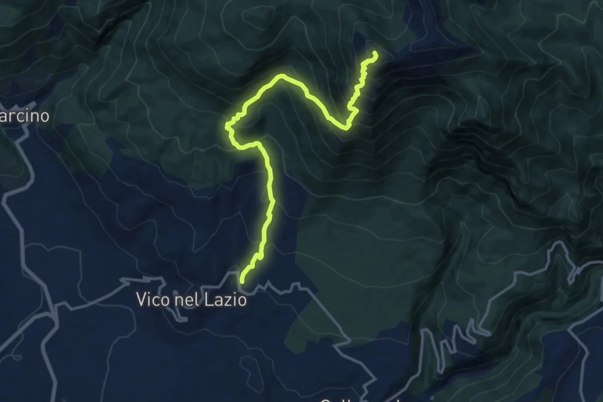
Demanding · Summit
Campo Sportivo Vico nel Lazio - Monte la Monna
12.9 km · ↑ 1262 m · 5 h 47 min · 11 km away
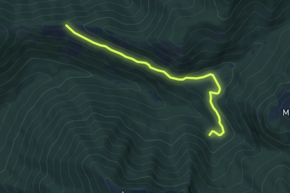
Easy · Trail
Campocatino – Filettino
6.7 km · ↑ 225 m · 2 h 4 min · 11 km away
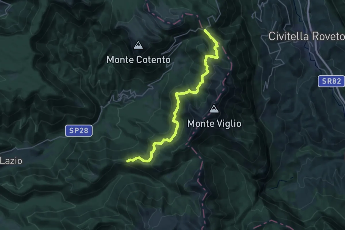
Demanding · Trail
Sentiero Landi Vittorj
21.7 km · ↑ 824 m · 6 h 54 min · 11 km away
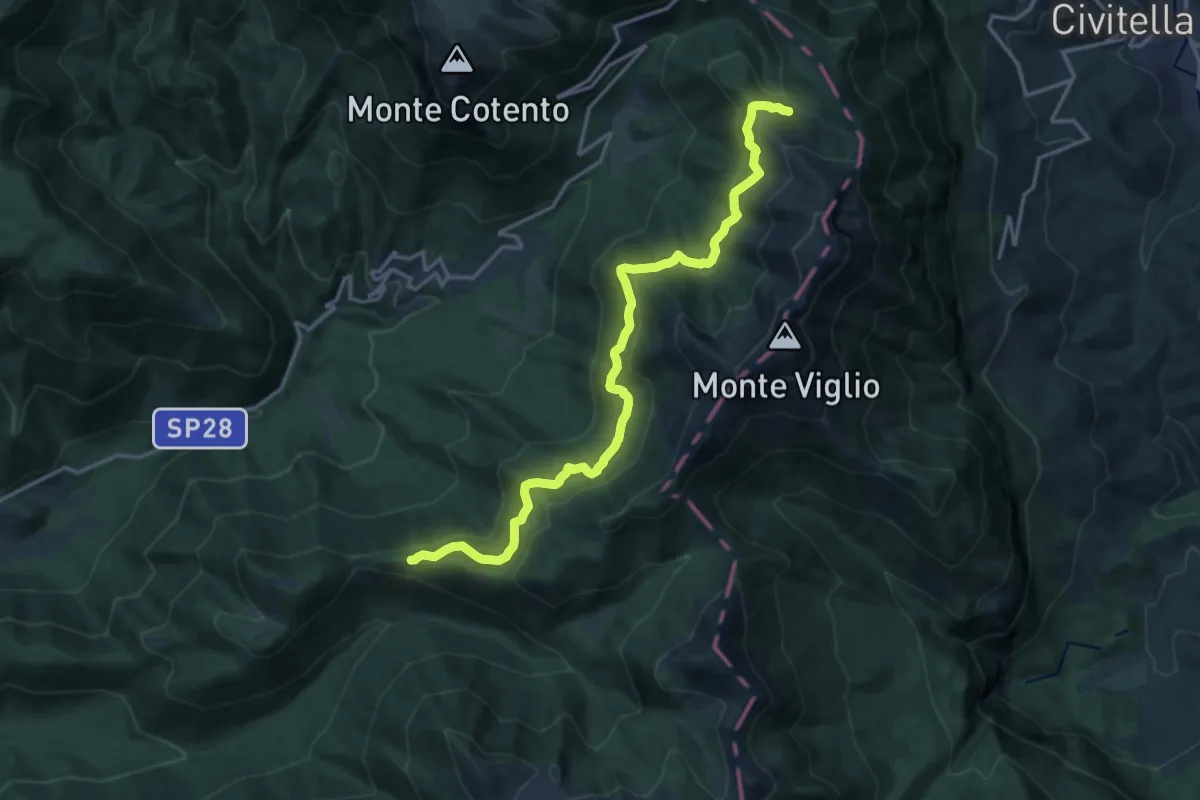
Demanding · Trail
Fonte della Moscosa - Serra Magliano
18.1 km · ↑ 698 m · 5 h 47 min · 11 km away
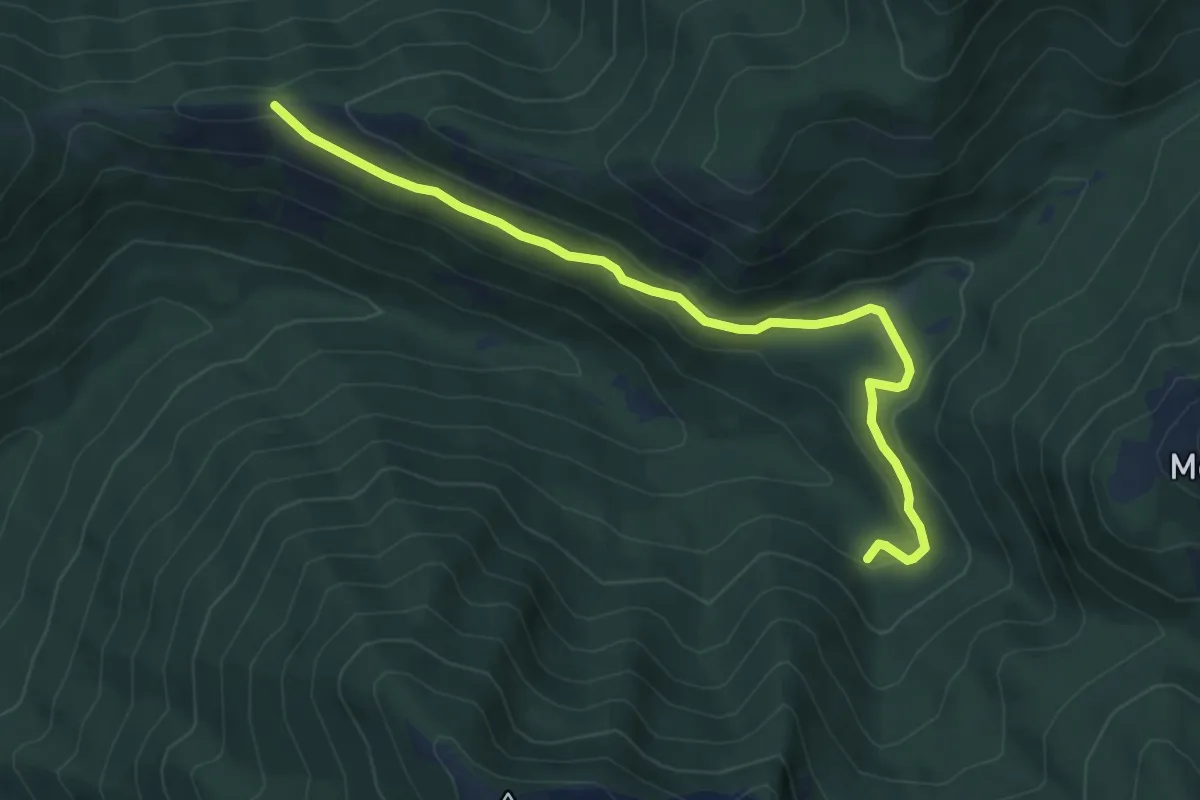
Easy · Trail
Campocatino - Pratiglio di Sant Onofrio - Filettino
6.7 km · ↑ 225 m · 2 h 4 min · 11 km away
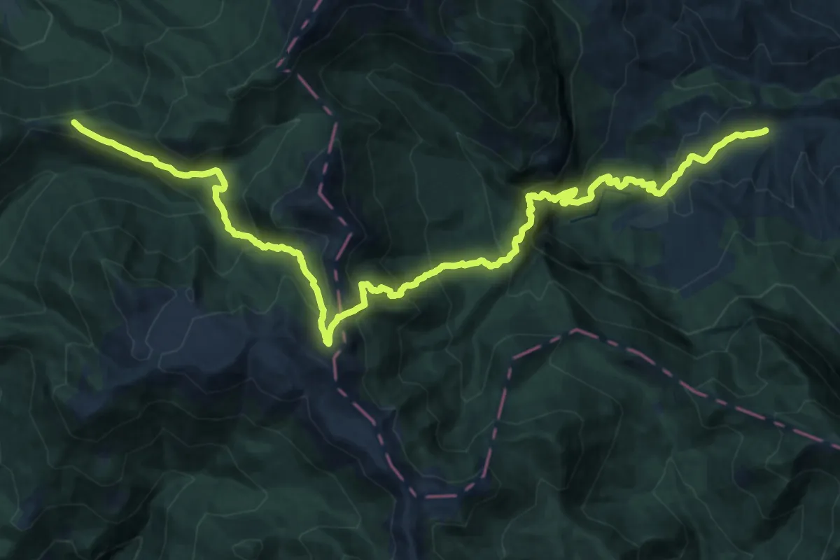
Medium · Trail
Via dei Lupi - Tappa 08
15.1 km · ↑ 530 m · 5 h 25 min · 11 km away
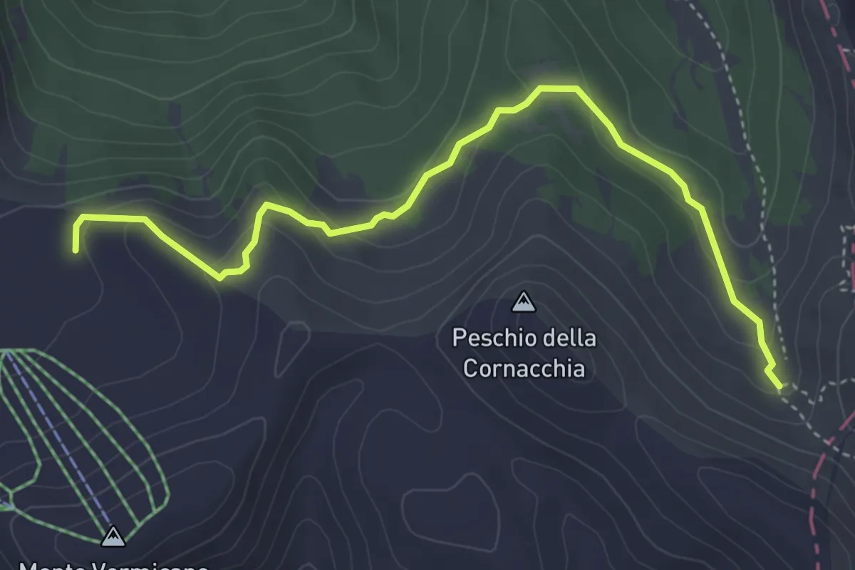
Easy · Cabin
Campocatino - Fonte del Pozzotello
4.8 km · ↑ 201 m · 1 h 34 min · 11 km away
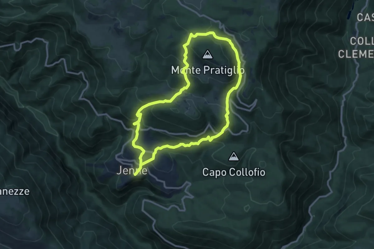
Medium · Trail
Jenne – Jenne
9.3 km · ↑ 616 m · 3 h 40 min · 12 km away
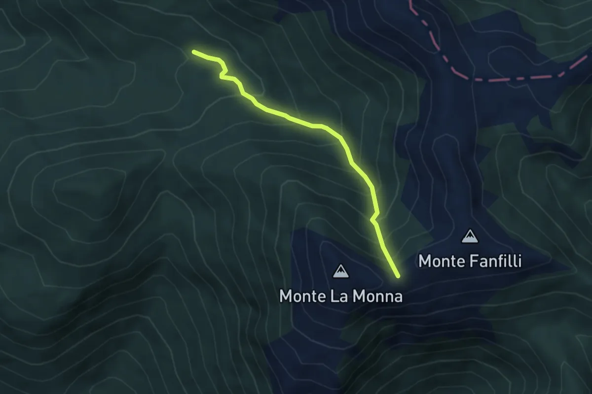
Medium · Trail
Guarcino Capo Cosa - Monte la Monna
4.2 km · ↑ 438 m · 1 h 57 min · 12 km away
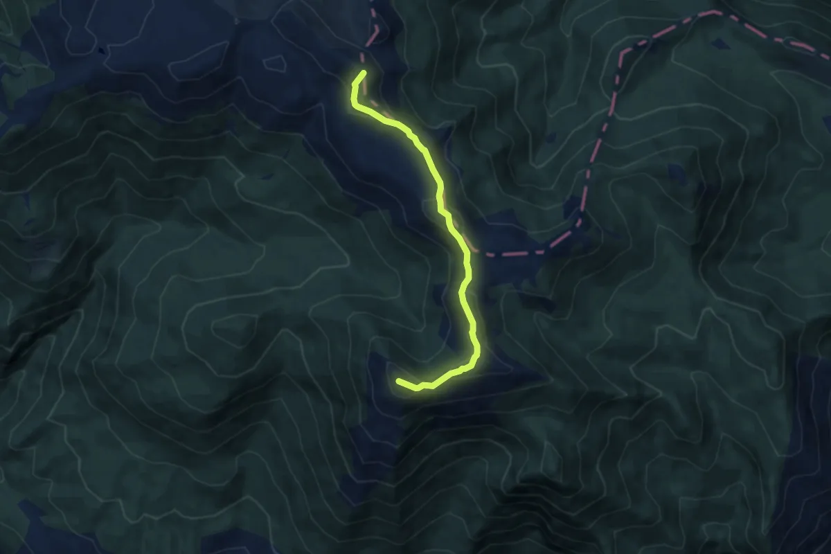
Medium · Summit
Campocatino – Monte la Monna
8.2 km · ↑ 344 m · 2 h 41 min · 13 km away
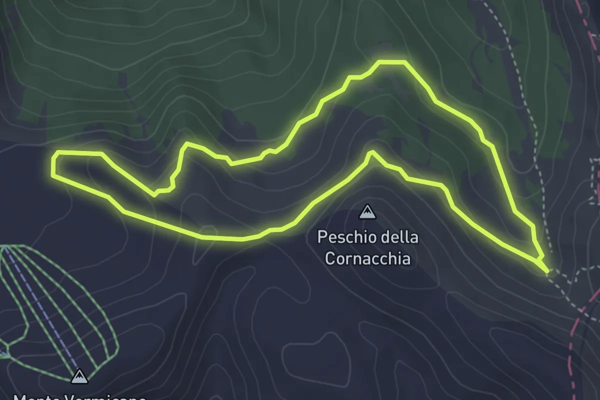
Easy · Summit
Via dei fiori
4.3 km · ↑ 179 m · 1 h 28 min · 13 km away
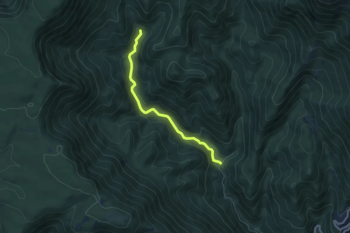
Easy · Trail
Fiumata – Fosso di Acqua Corore
5.5 km · ↑ 197 m · 1 h 43 min · 13 km away
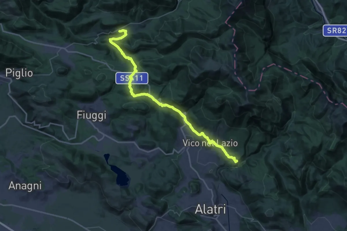
Demanding · Trail
Cammino di San Benedetto - Tappa 12
21.7 km · ↑ 891 m · 7 h 15 min · 13 km away
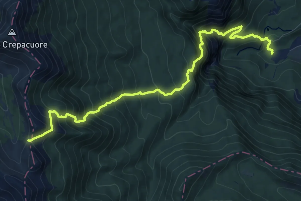
Demanding · Trail
Lo Schioppo – Sentiero 651
12.4 km · ↑ 1281 m · 5 h 43 min · 13 km away
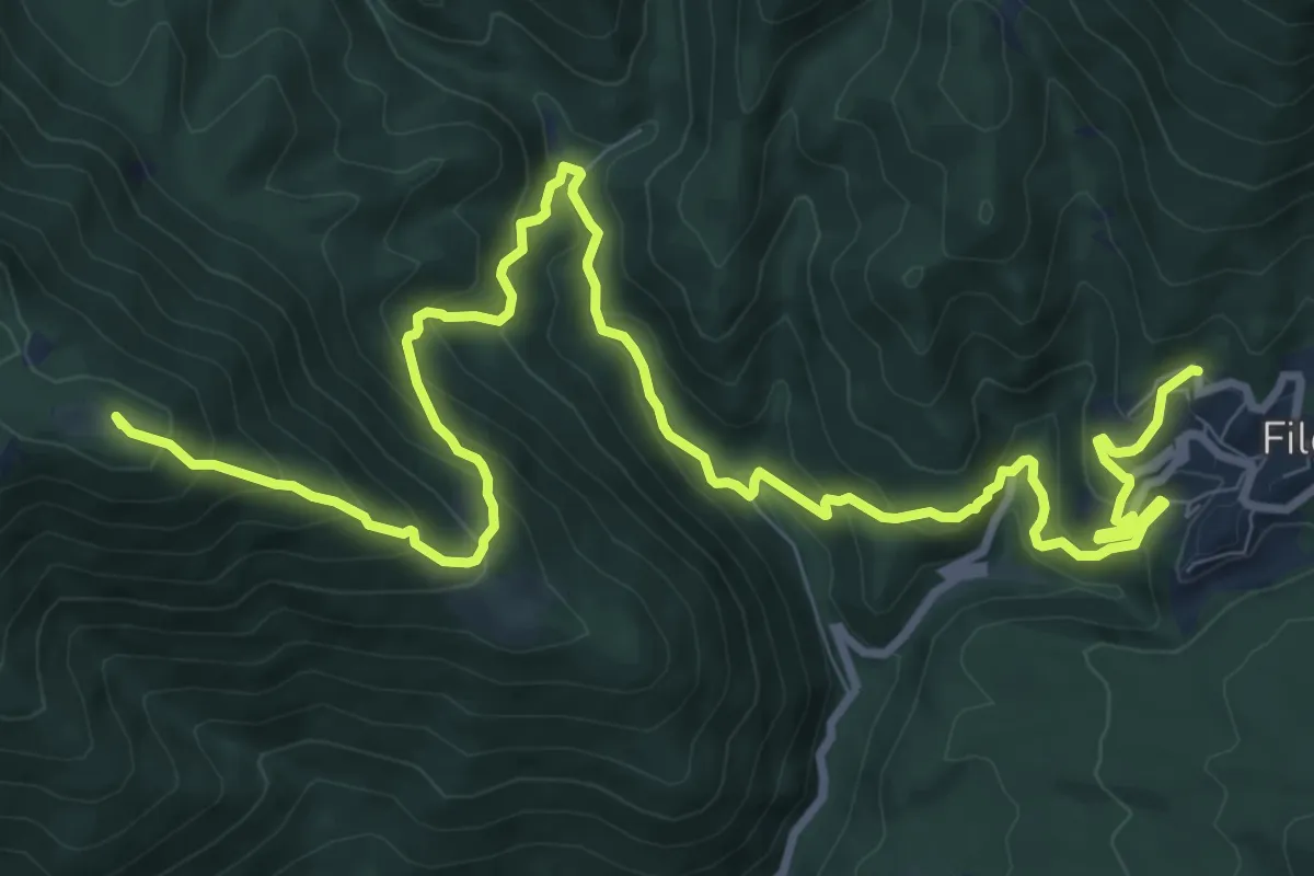
Demanding · Summit
Filettino – Vallepietra
14.7 km · ↑ 1012 m · 5 h 40 min · 13 km away
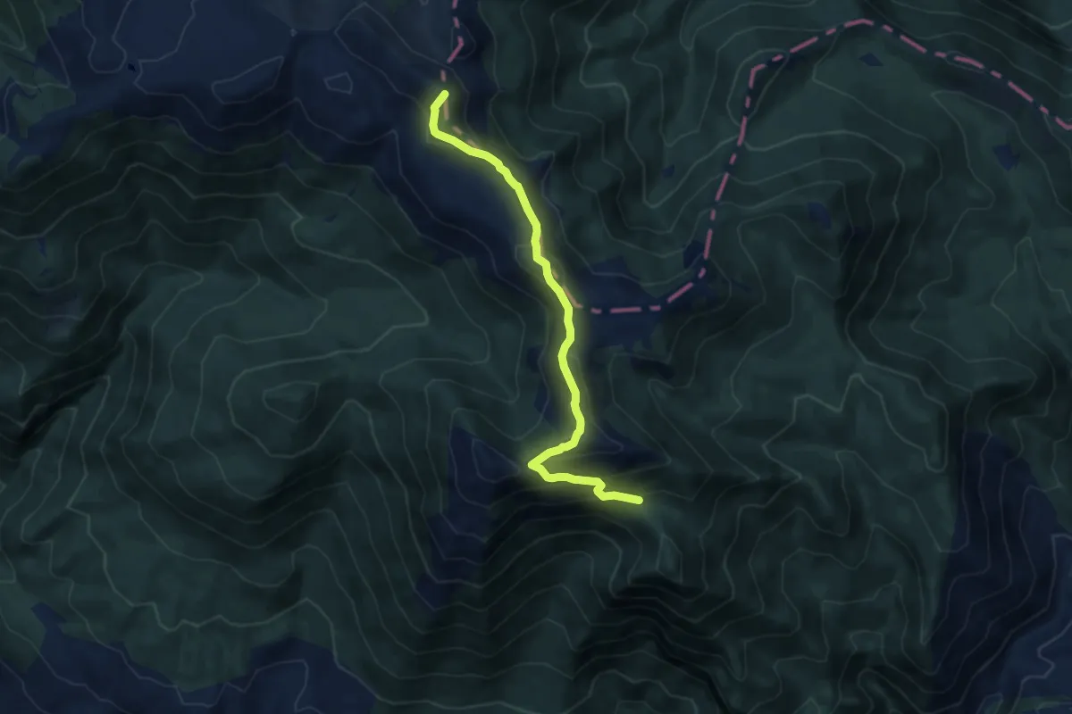
Medium · Summit
Certosa di Trisulti – Campocatino
9.4 km · ↑ 512 m · 3 h 20 min · 14 km away
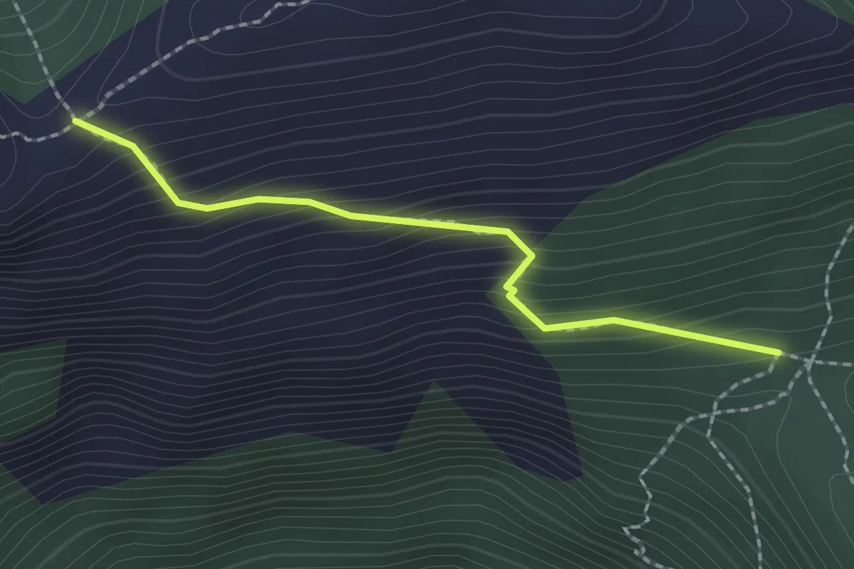
Easy · Trail
Cappella SS. Trinità - Monte La Monna
2.0 km · ↑ 210 m · 56 min · 14 km away
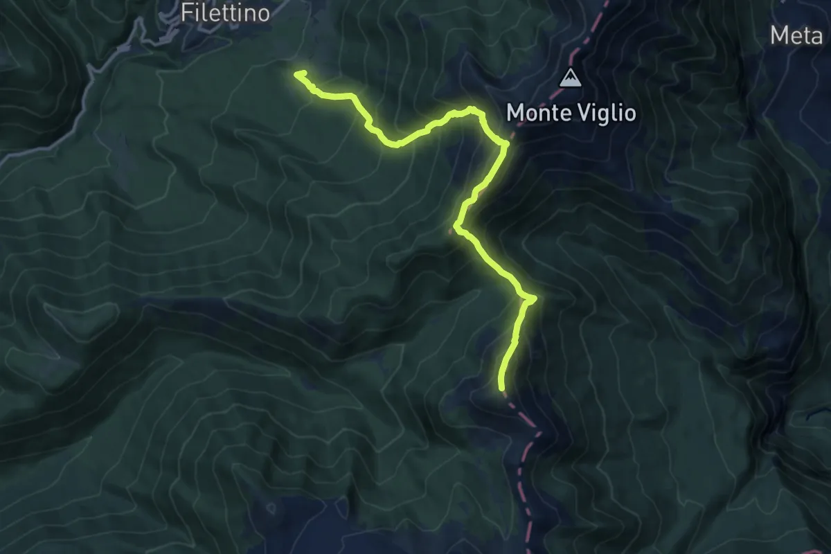
Demanding · Summit
Sentiero Frassati - Tappa 2
13.6 km · ↑ 1464 m · 6 h 23 min · 14 km away
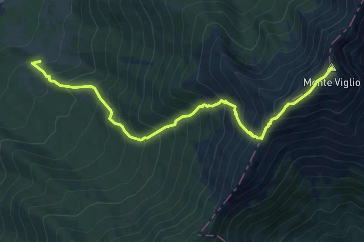
Demanding · Summit
Filettino – Monte Viglio
8.7 km · ↑ 1018 m · 4 h 16 min · 14 km away
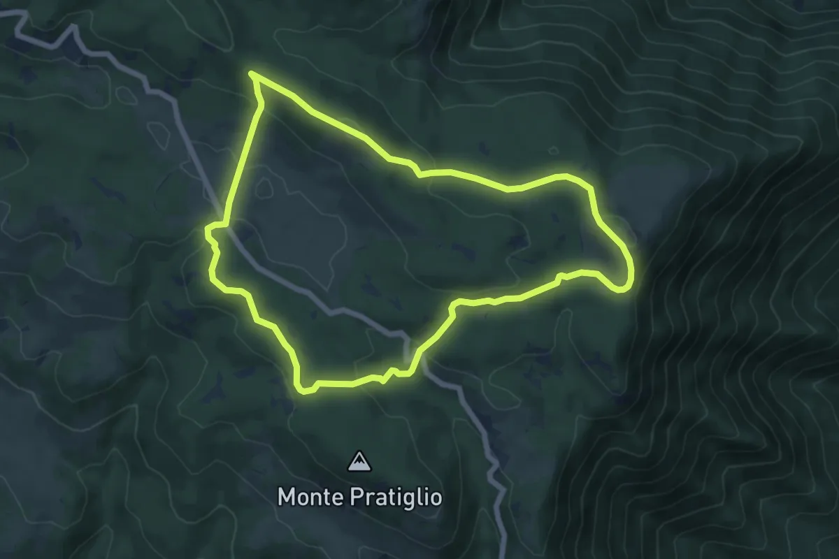
Easy · Summit
Fondi – Fondi
6.6 km · ↑ 192 m · 2 h 3 min · 14 km away
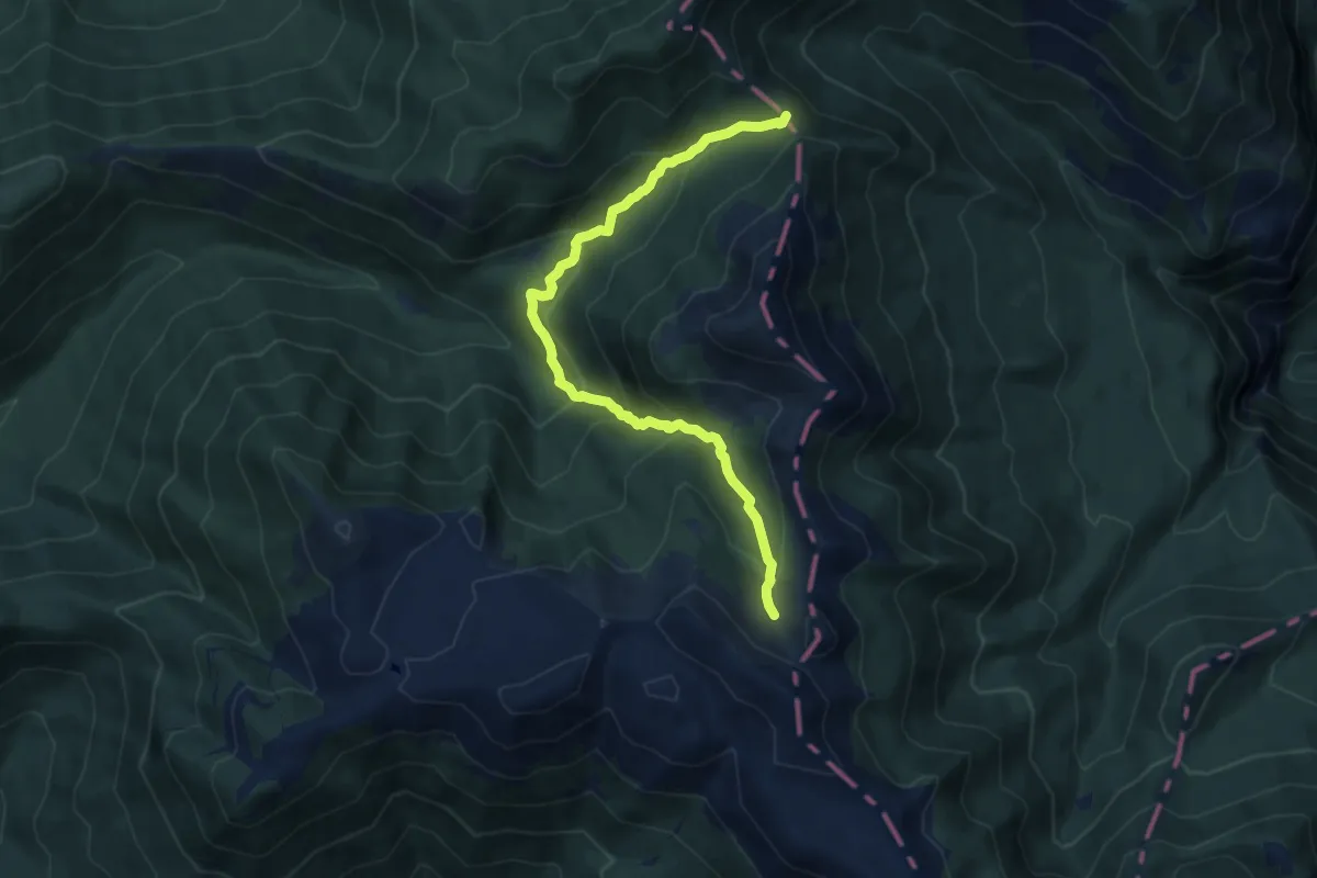
Medium · Cabin
Fonte del Pozzotello - Monte Femmina Morta
10.2 km · ↑ 623 m · 3 h 45 min · 14 km away
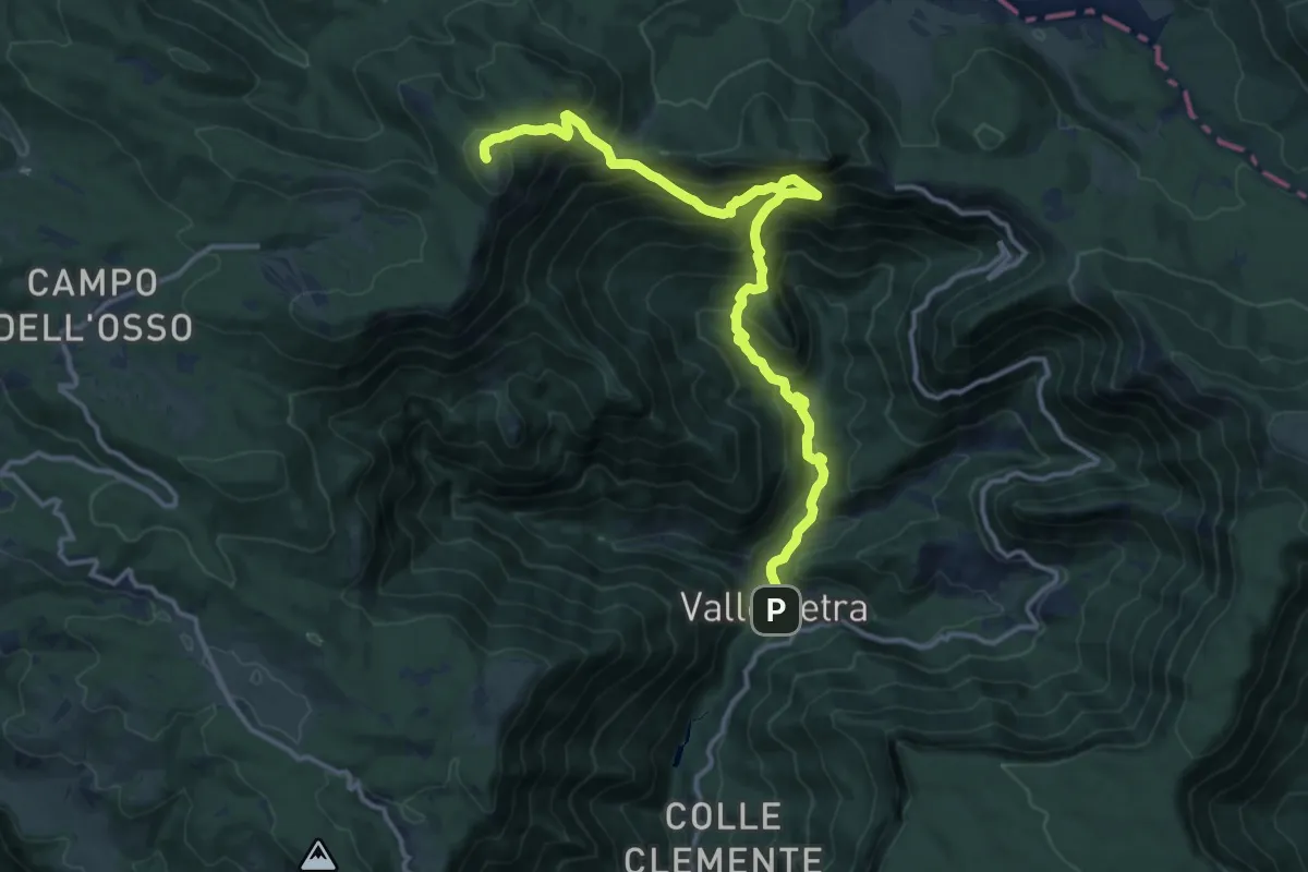
Demanding · Summit
Sentiero Coleman - Tappa 3
16.6 km · ↑ 1527 m · 7 h 13 min · 14 km away
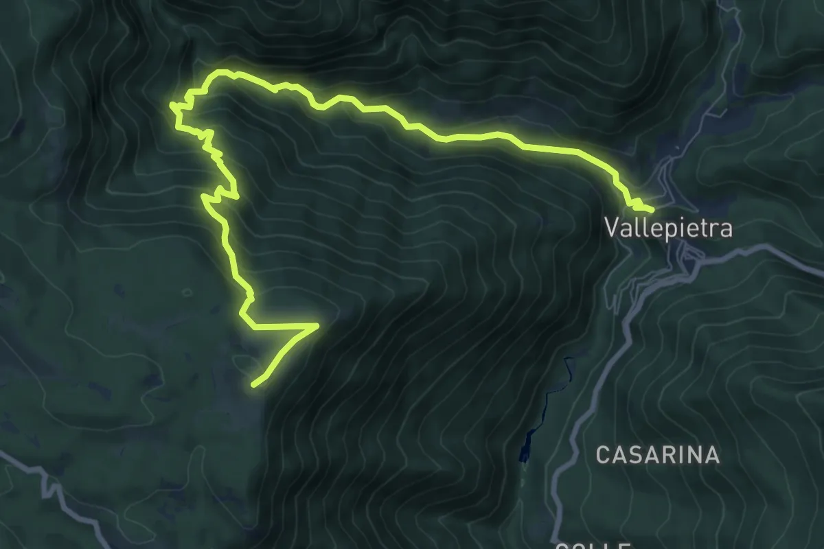
Medium · Trail
Vallepietra-Colle Campitellino
11.7 km · ↑ 761 m · 4 h 25 min · 14 km away
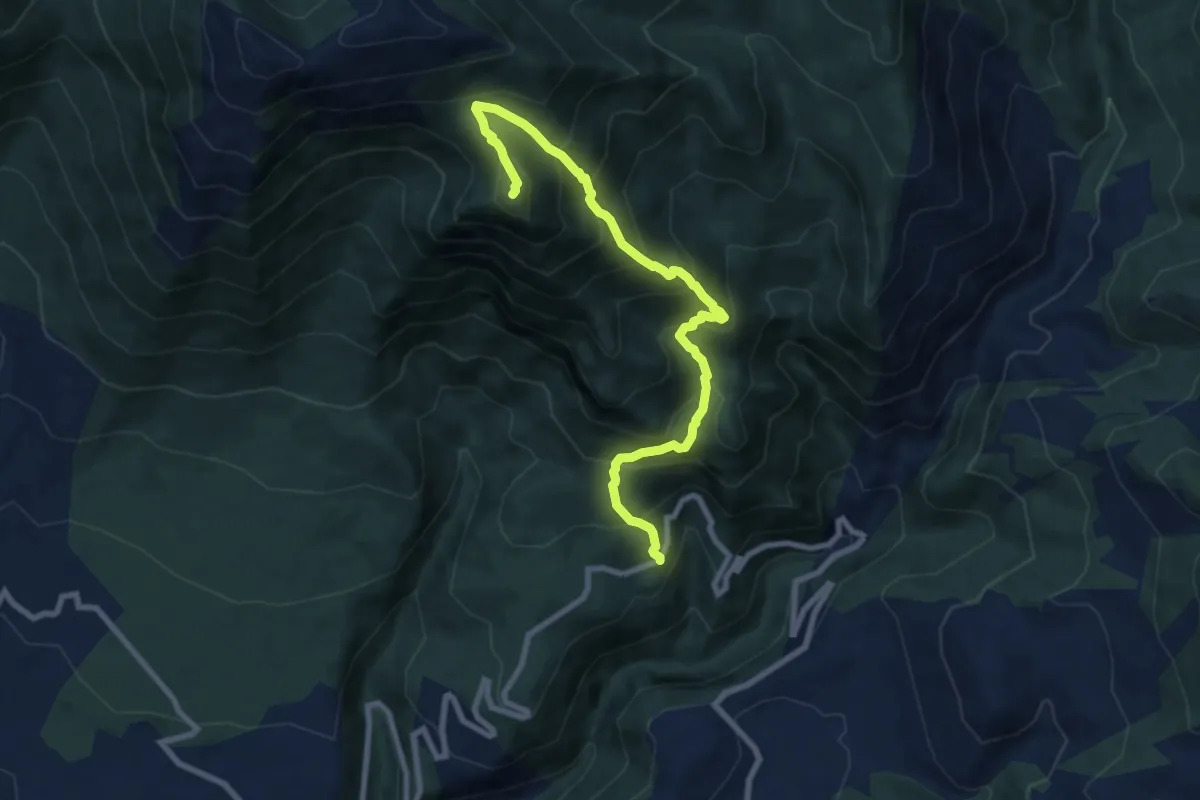
Demanding · Summit
Trisulti - Sella Faito - Monte Rotonaria
9.5 km · ↑ 929 m · 4 h 15 min · 15 km away