Trails near Foligno
51 hikes starting within 15 km, nearest first.
Nearest first, page 1 of 2
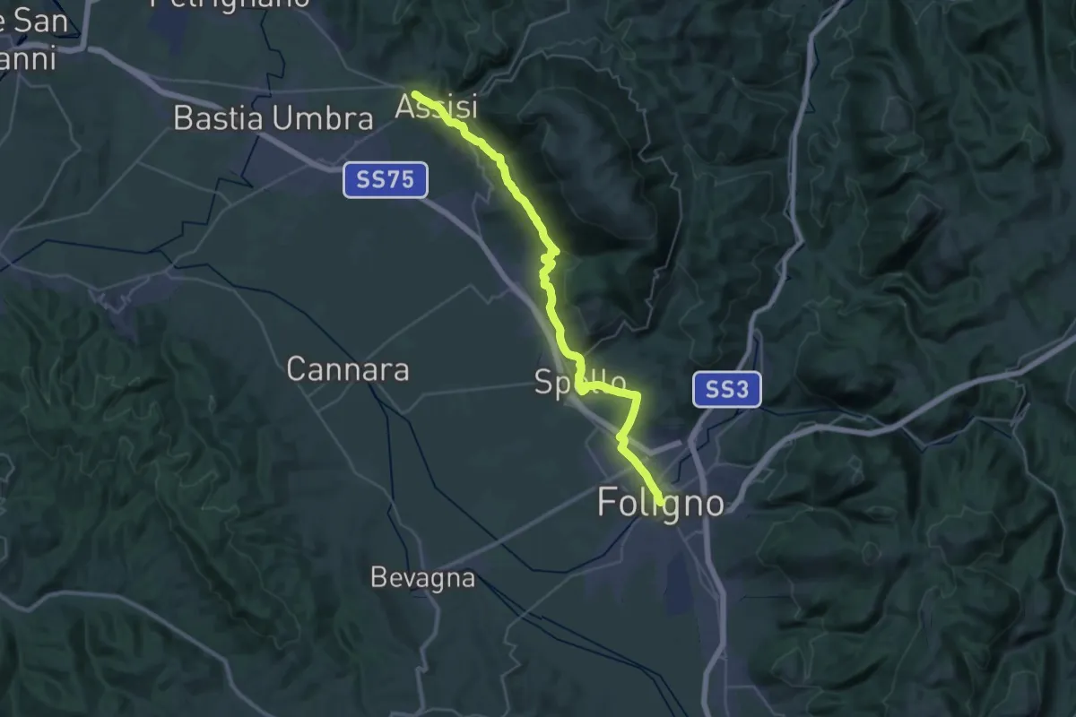
Demanding · Trail
Via di Francesco/Via del SUD - Tappa 14
19.3 km · ↑ 428 m · 5 h 42 min · under 1 km away
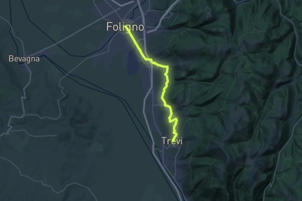
Demanding · Trail
Via di Francesco/Via del SUD - Tappa 13
24.8 km · ↑ 452 m · 6 h 50 min · under 1 km away
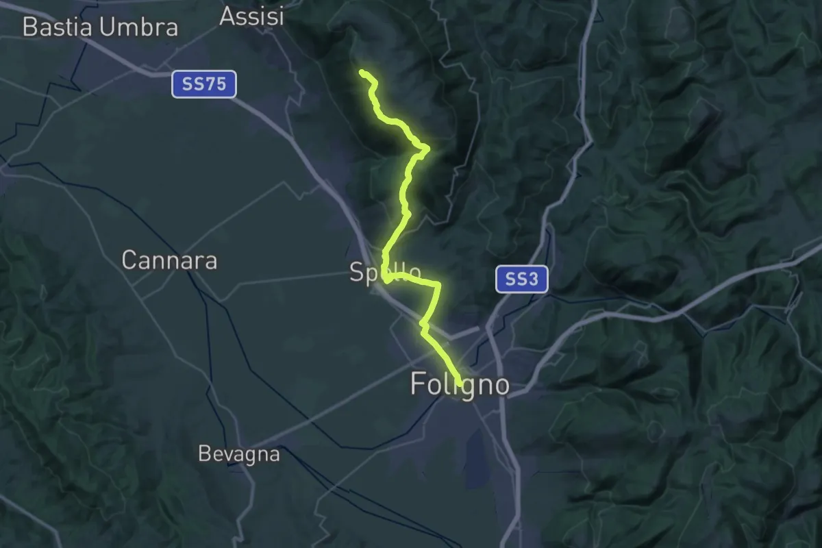
Demanding · Summit
Via di Francesco - Tappa 9A (escursionistica)
31.8 km · ↑ 1029 m · 9 h 44 min · under 1 km away
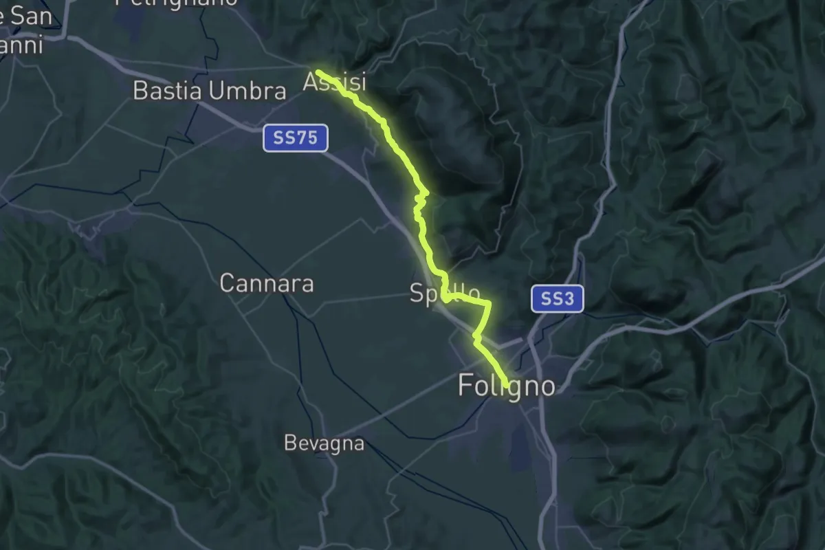
Demanding · Trail
Via di Francesco - Tappa 9
19.3 km · ↑ 428 m · 5 h 42 min · under 1 km away
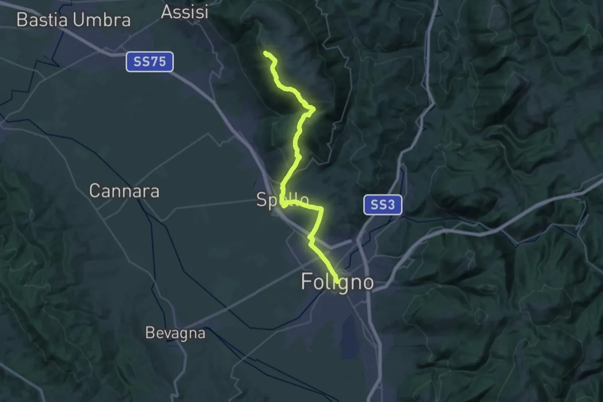
Demanding · Summit
Via di Francesco/Via del SUD - Tappa 14A (Escursionistica)
31.8 km · ↑ 1029 m · 9 h 44 min · under 1 km away
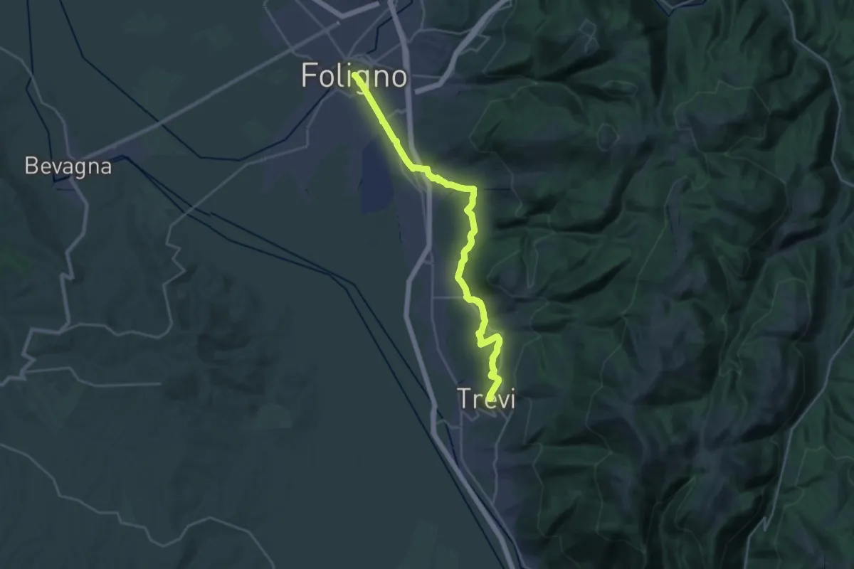
Demanding · Trail
Via di Francesco - Tappa 10
24.8 km · ↑ 452 m · 6 h 50 min · under 1 km away
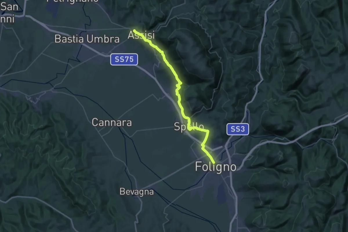
Demanding · Trail
Cammino Francescano della Marca - Tappa 1
18.8 km · ↑ 430 m · 5 h 35 min · under 1 km away
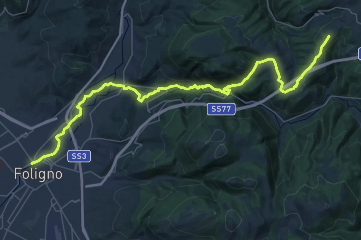
Demanding · Summit
Cammino Francescano della Marca - Tappa 2
33.1 km · ↑ 749 m · 9 h 26 min · under 1 km away
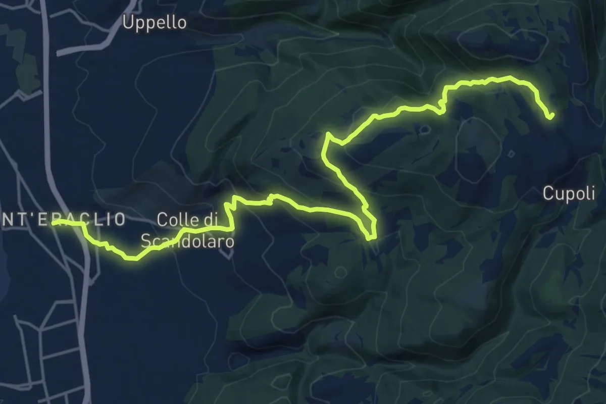
Demanding · Trail
Sant'Eraclio – Cancelli
20.9 km · ↑ 914 m · 6 h 54 min · 3 km away
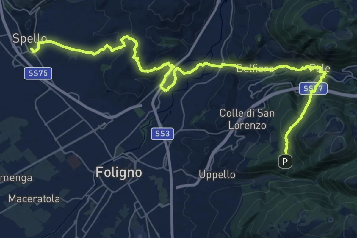
Medium · Trail
Sentiero degli Ulivi - Tappa 4
16.0 km · ↑ 393 m · 5 h 2 min · 5 km away
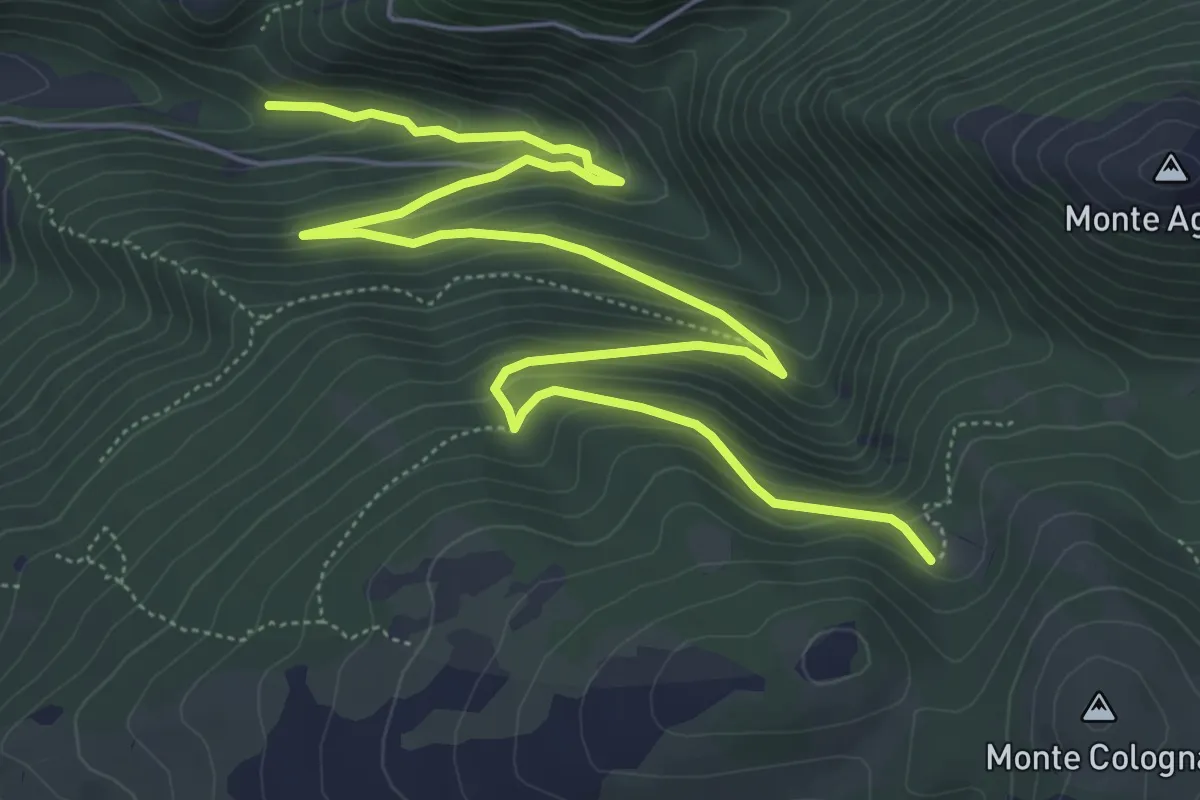
Medium · Trail
Fosso Renaro – Fonti di Sassovivo
9.1 km · ↑ 538 m · 3 h 18 min · 5 km away
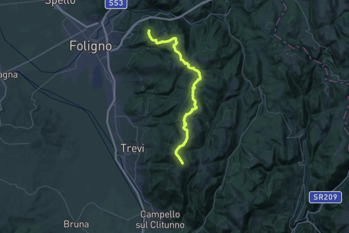
Demanding · Summit
Sassovivo – Pettino
36.1 km · ↑ 1533 m · 11 h 51 min · 5 km away
Medium · Trail
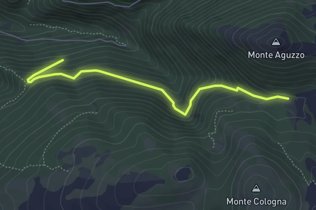
Fonti di Sassovivo
5.5 km · ↑ 395 m · 2 h 9 min · 5 km away
Demanding · Pilgrim path
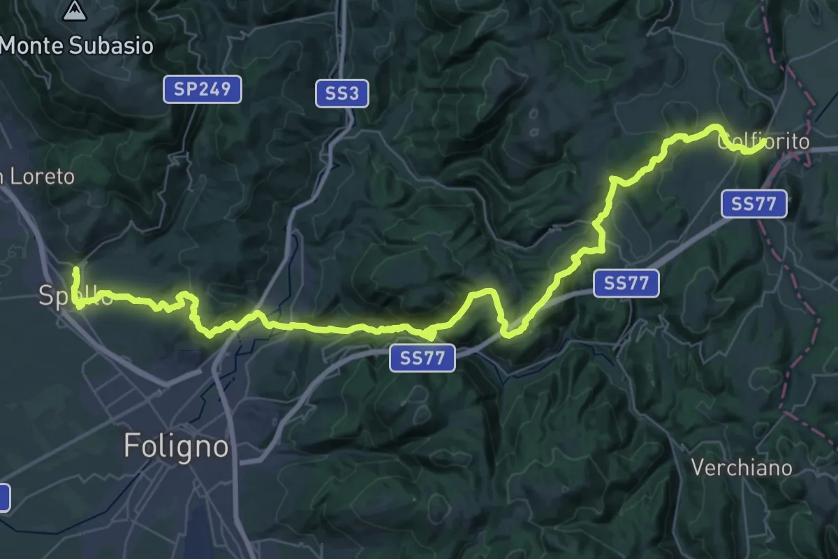
Via Lauretana - Stage 02
28.4 km · ↑ 1035 m · 9 h 6 min · 5 km away
Medium · Pilgrim path
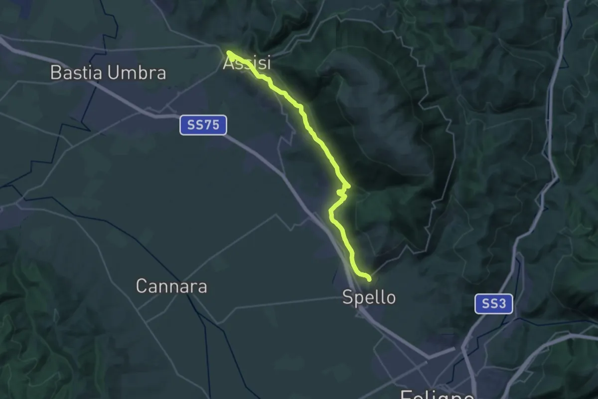
Via Lauretana - Stage 01
12.5 km · ↑ 333 m · 3 h 50 min · 5 km away
Demanding · Trail
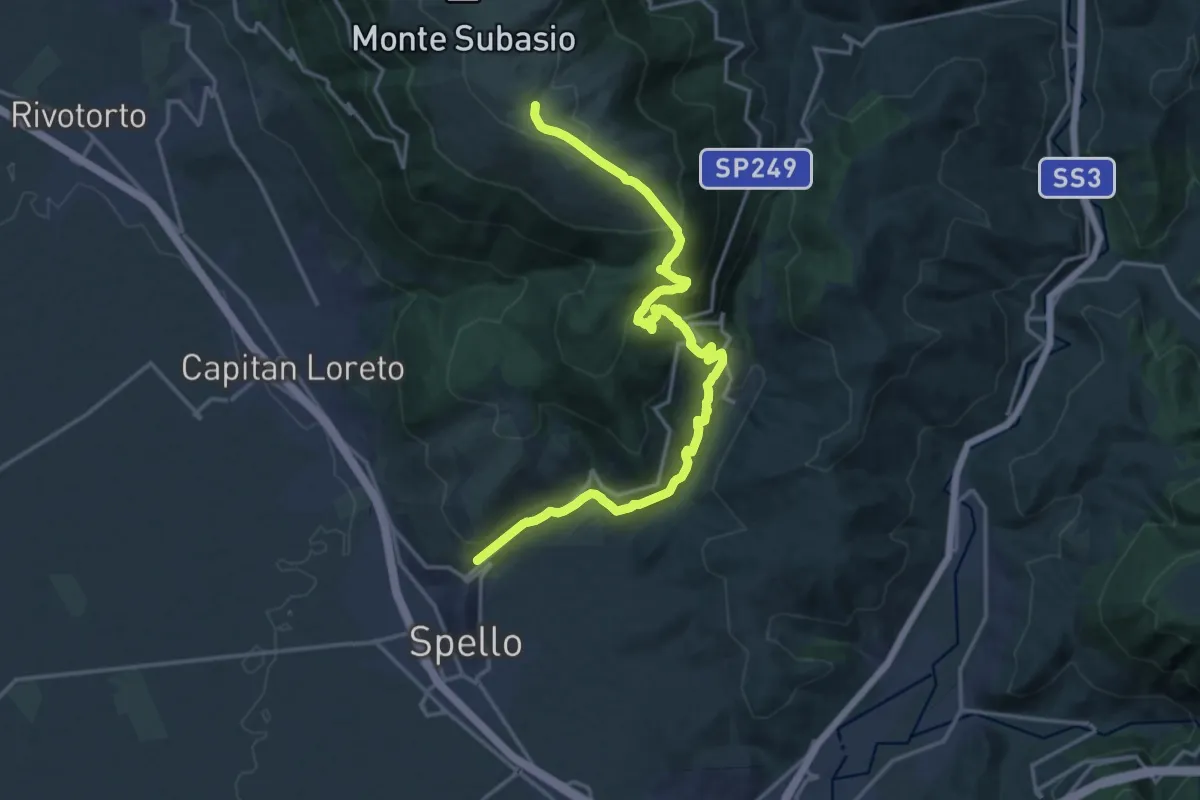
Spello – Intersezione percorso 350
20.4 km · ↑ 1090 m · 7 h 11 min · 5 km away
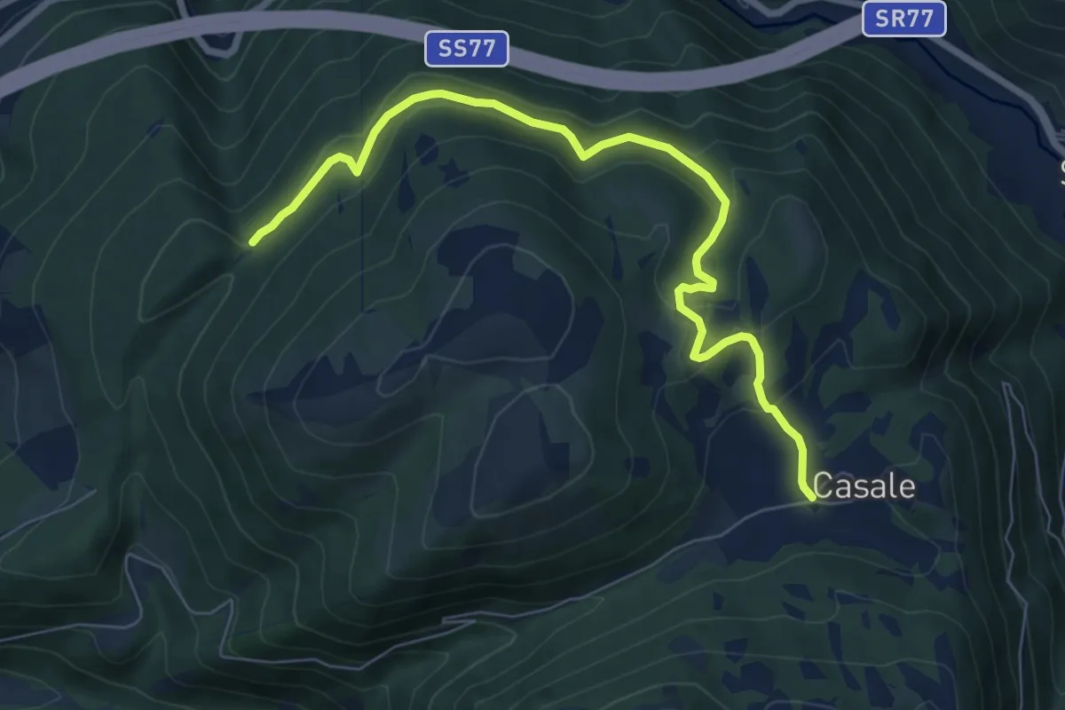
Medium · Trail
Casale – Collelungo
8.2 km · ↑ 310 m · 2 h 36 min · 6 km away
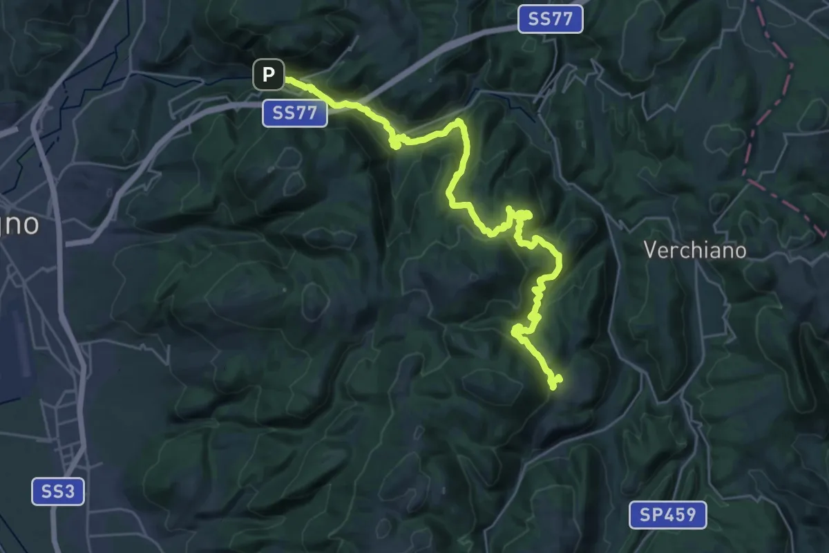
Demanding · Trail
Pale – Case Rampi
16.4 km · ↑ 843 m · 5 h 42 min · 7 km away
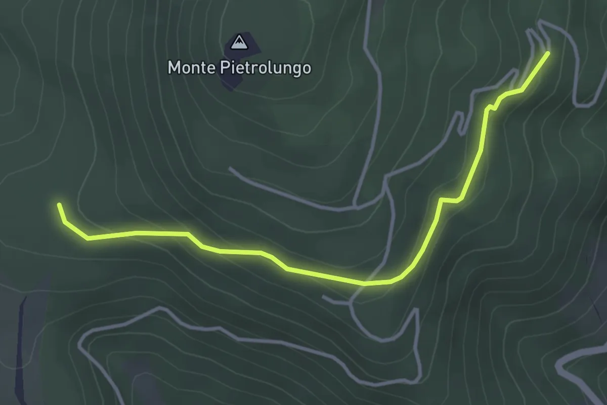
Easy · Trail
San Silvestro – Intersezione percorso 350
3.8 km · ↑ 156 m · 1 h 14 min · 7 km away
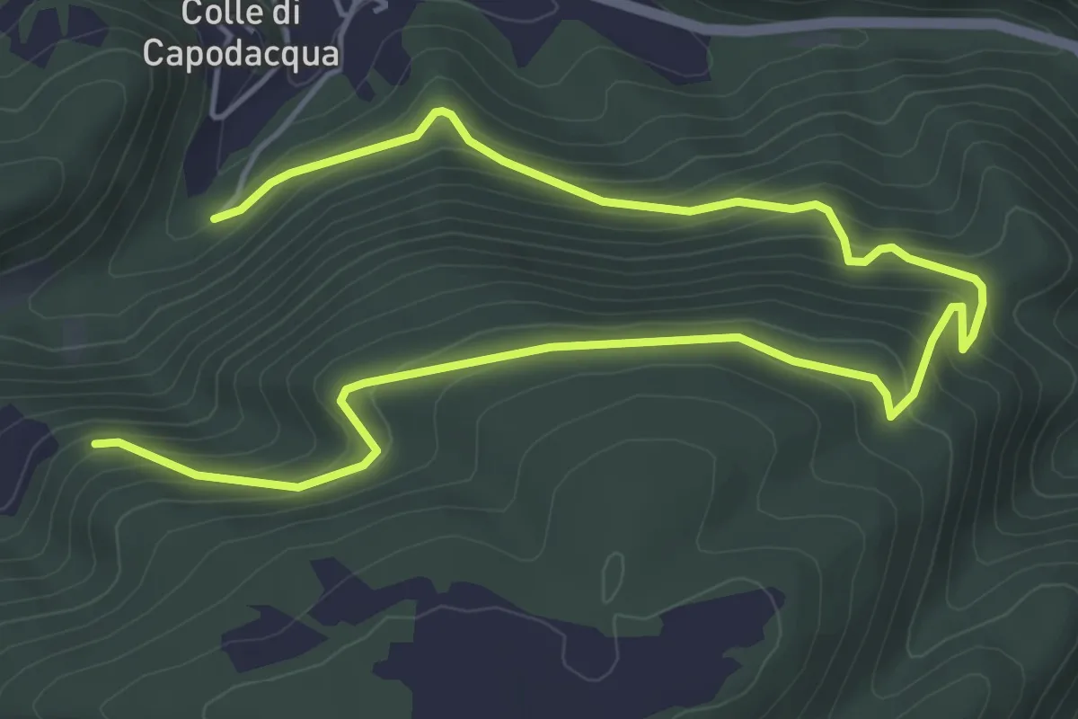
Medium · Trail
Bivio 310 – Madonna Colfornaro
8.0 km · ↑ 468 m · 2 h 54 min · 9 km away
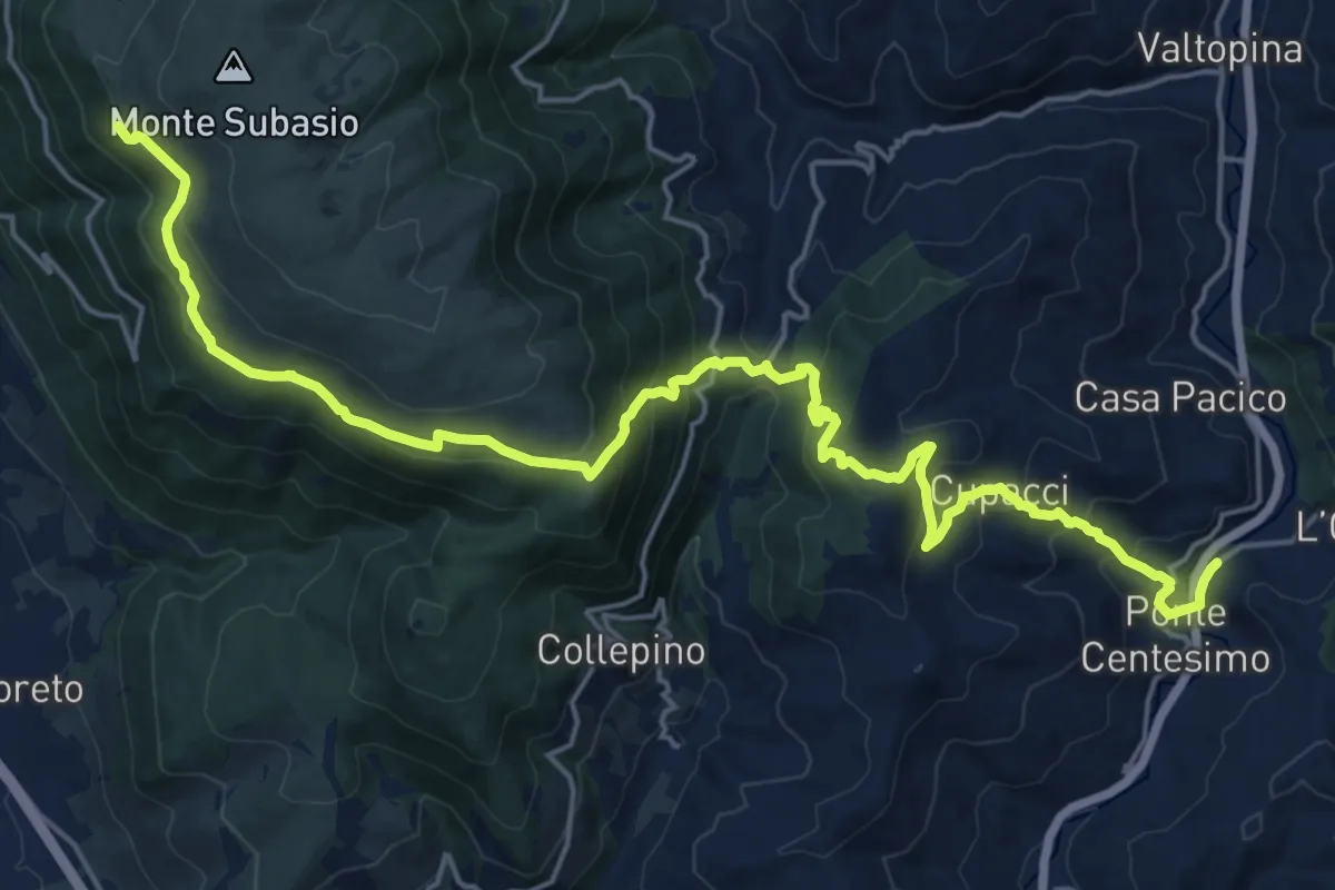
Demanding · Summit
Eremo delle Carceri – Pontecentesimo
25.4 km · ↑ 1358 m · 8 h 57 min · 9 km away
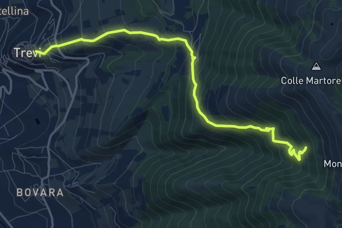
Demanding · Cabin
Trevi – Casetta Ciccaia
10.6 km · ↑ 816 m · 4 h 16 min · 9 km away
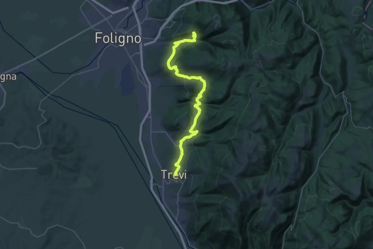
Medium · Trail
Sentiero degli Ulivi - Tappa 3
15.6 km · ↑ 778 m · 5 h 31 min · 9 km away
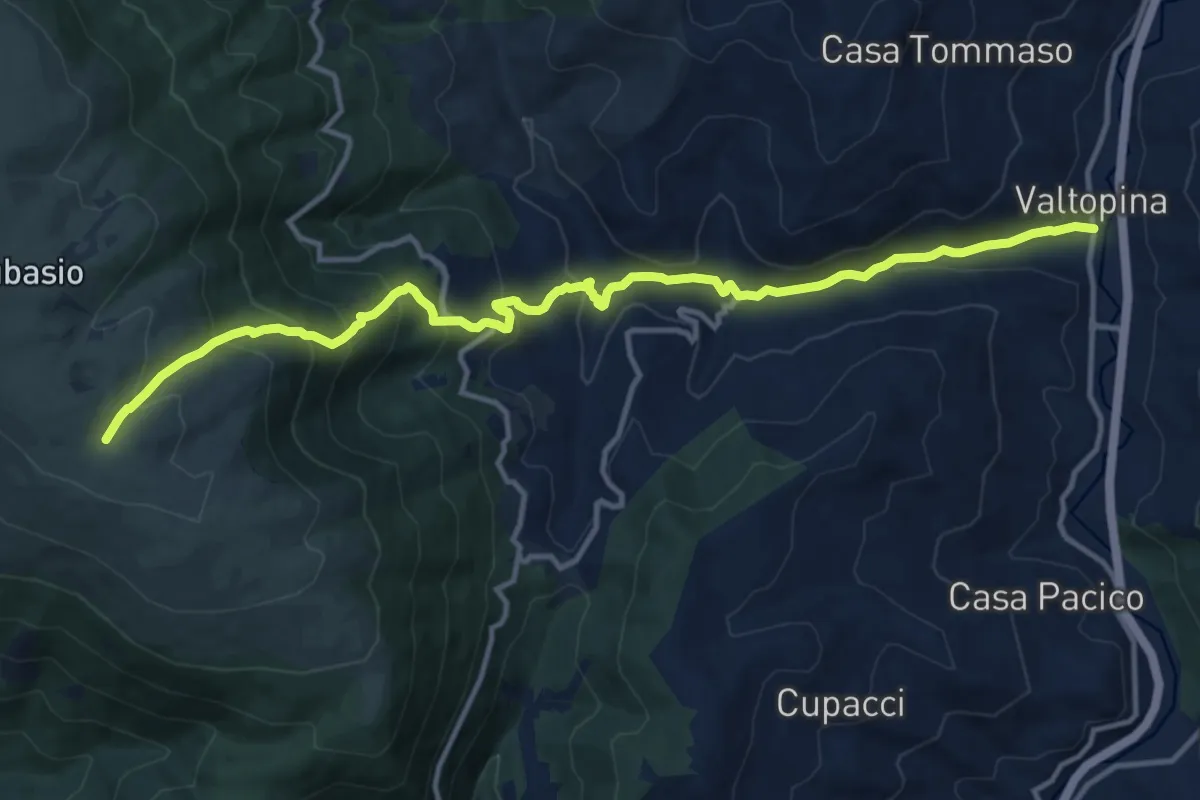
Demanding · Trail
Valtopina – Intersezione percorso 350
14.8 km · ↑ 952 m · 5 h 33 min · 10 km away
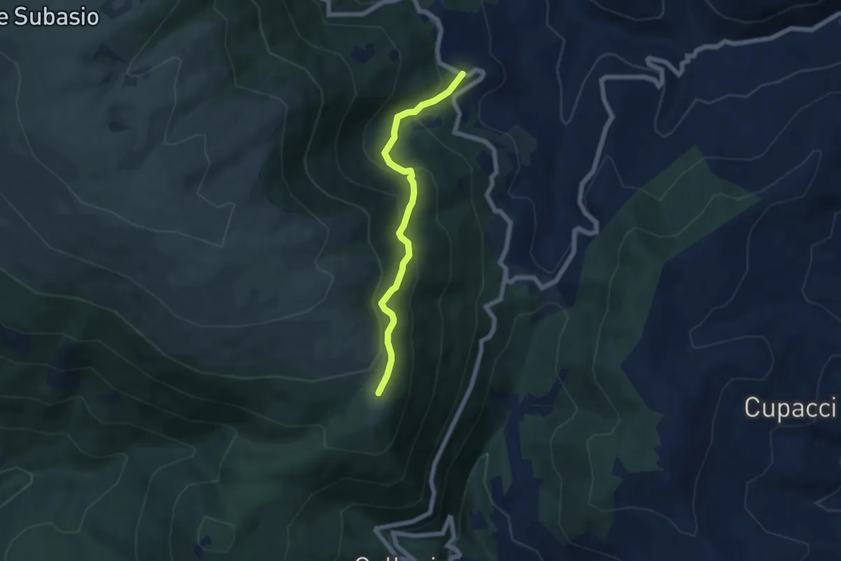
Medium · Cabin
Intersezione percorso 357 – Madonna della Spella
5.5 km · ↑ 386 m · 2 h 8 min · 11 km away
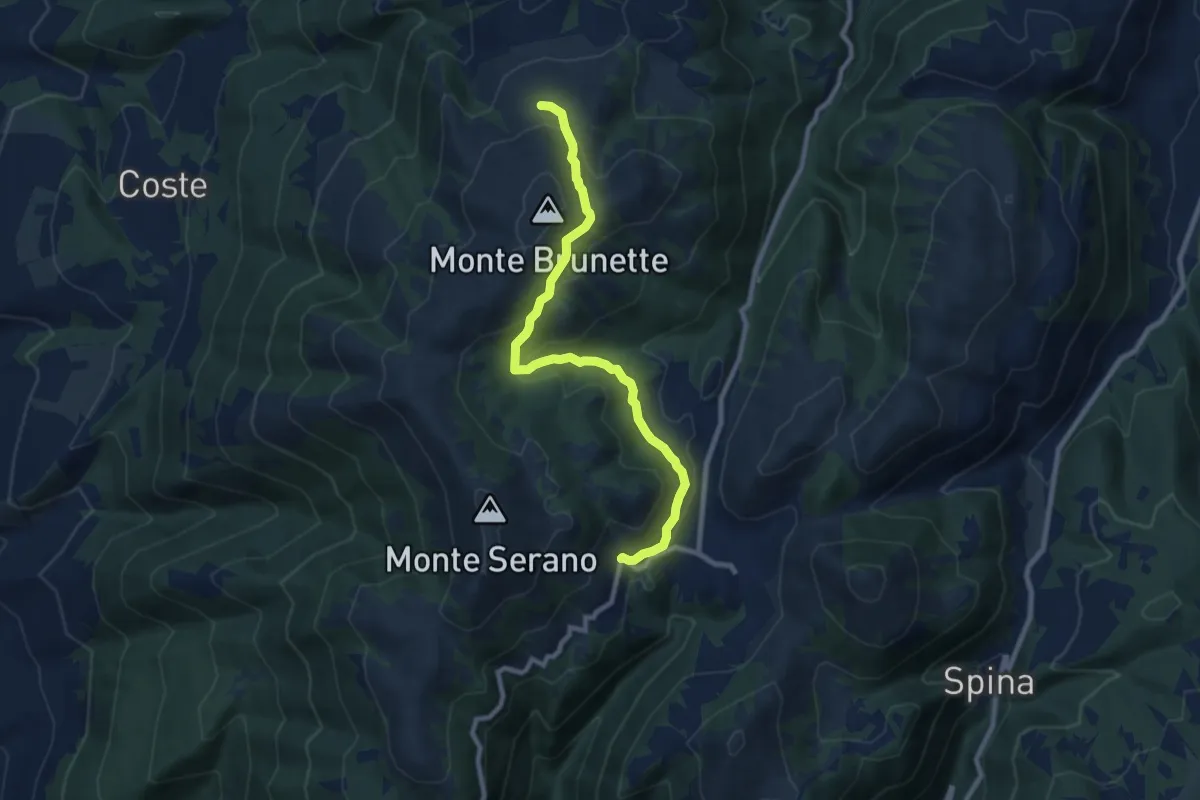
Medium · Trail
Pettino – Casette Brunette
9.5 km · ↑ 428 m · 3 h 10 min · 11 km away
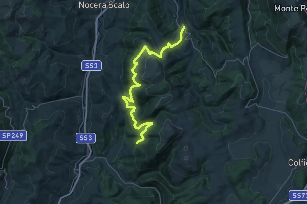
Medium · Trail
Stravignano – Intersezione percorso 310
12.6 km · ↑ 695 m · 4 h 41 min · 11 km away
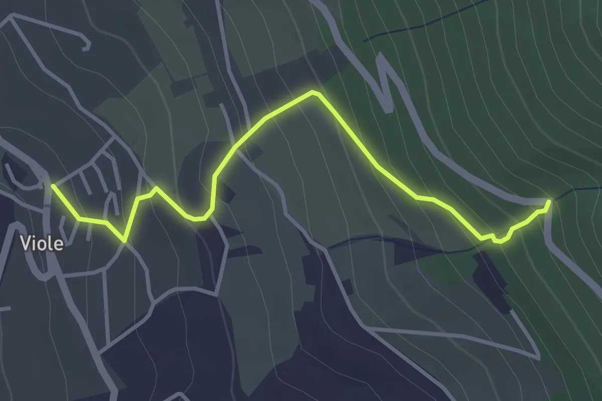
Easy · Trail
Viole – Intersezione percorso 354
3.6 km · ↑ 302 m · 1 h 31 min · 12 km away
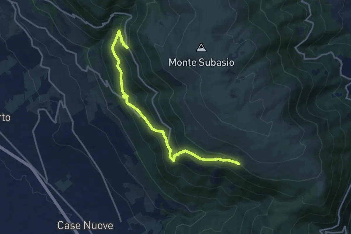
Medium · Cabin
Fonte Bregno – Intersezione percorso 319
10.7 km · ↑ 677 m · 3 h 59 min · 12 km away
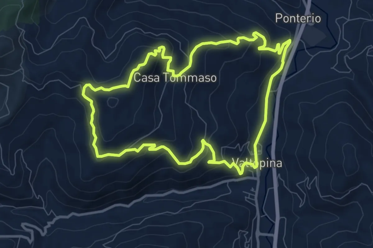
Medium · Trail
Anello della Serra di Valtopina
8.6 km · ↑ 453 m · 3 h 7 min · 12 km away
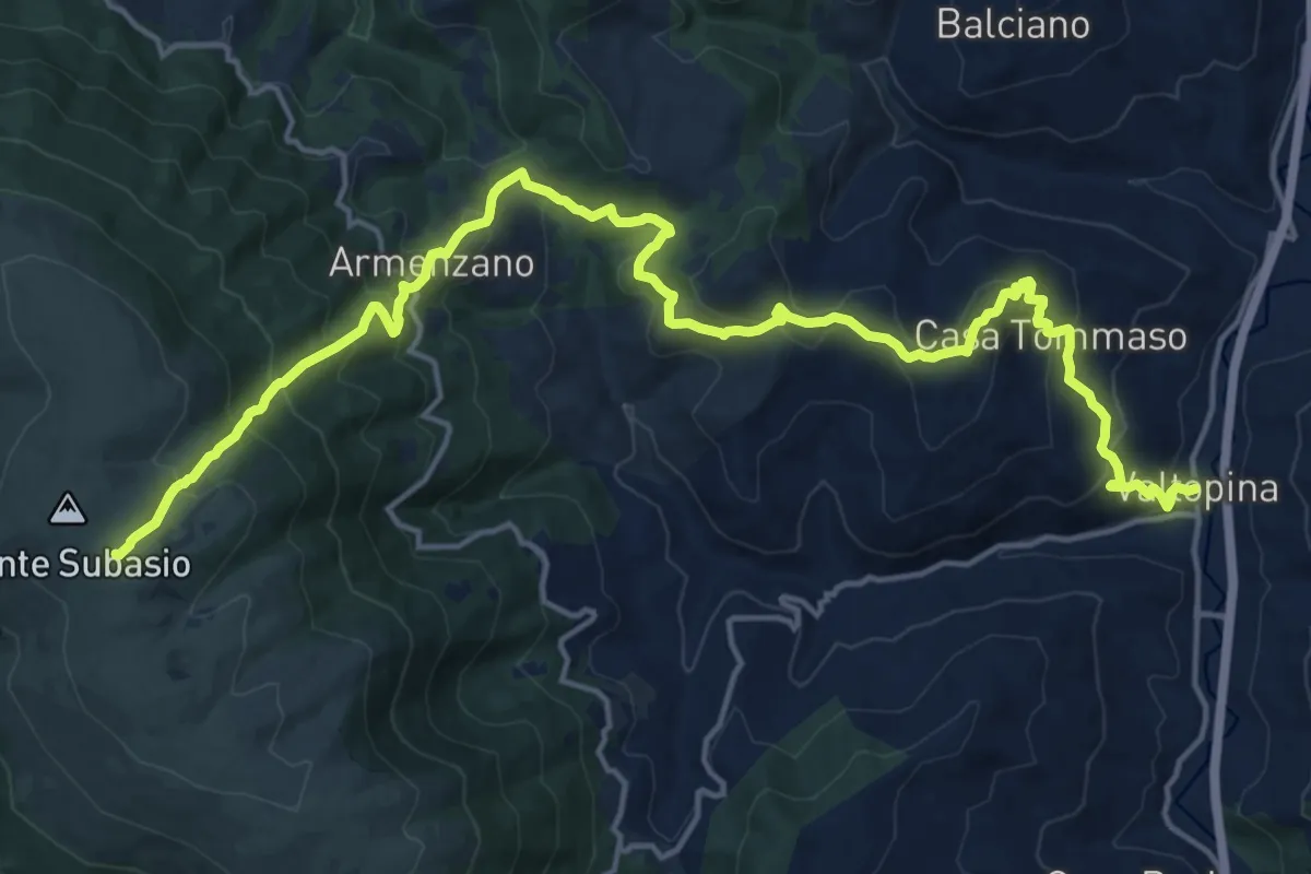
Demanding · Trail
Valtopina – Monte Subasio
10.9 km · ↑ 1111 m · 4 h 41 min · 12 km away
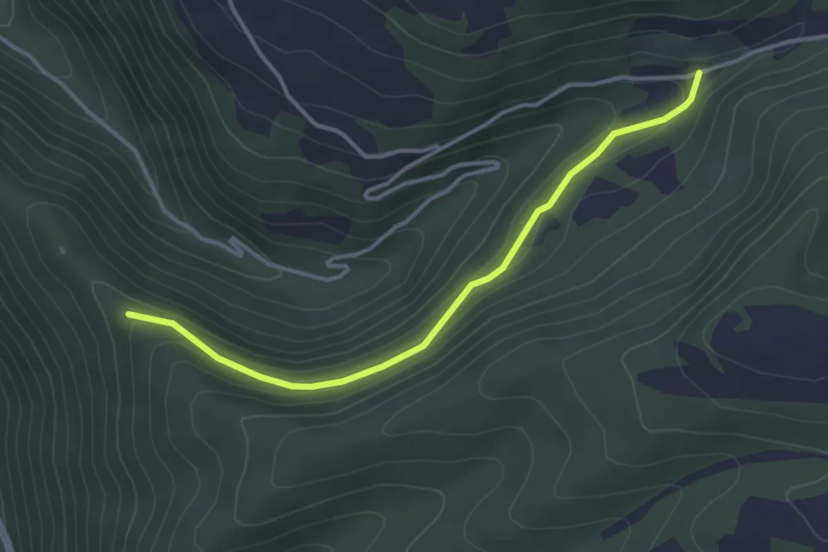
Easy · Trail
Rio – Intersezione percorso 310B
3.6 km · ↑ 167 m · 1 h 13 min · 12 km away
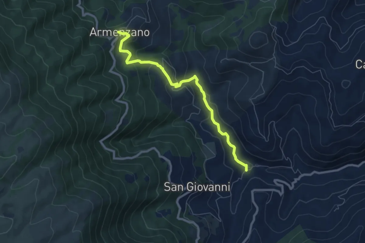
Medium · Trail
Intersezione percorso 357 – Armenzano
7.0 km · ↑ 332 m · 2 h 22 min · 13 km away
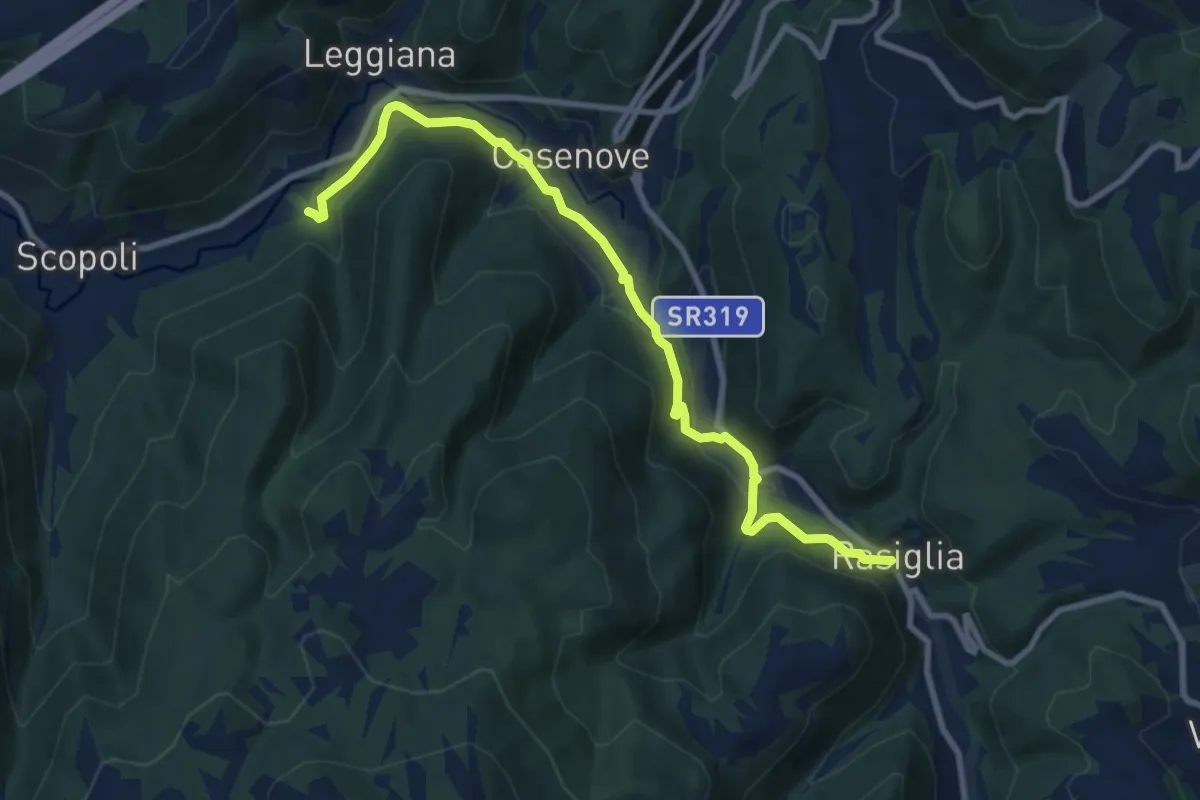
Medium · Trail
Rasiglia – Madonna del Sasso
10.0 km · ↑ 270 m · 2 h 56 min · 13 km away
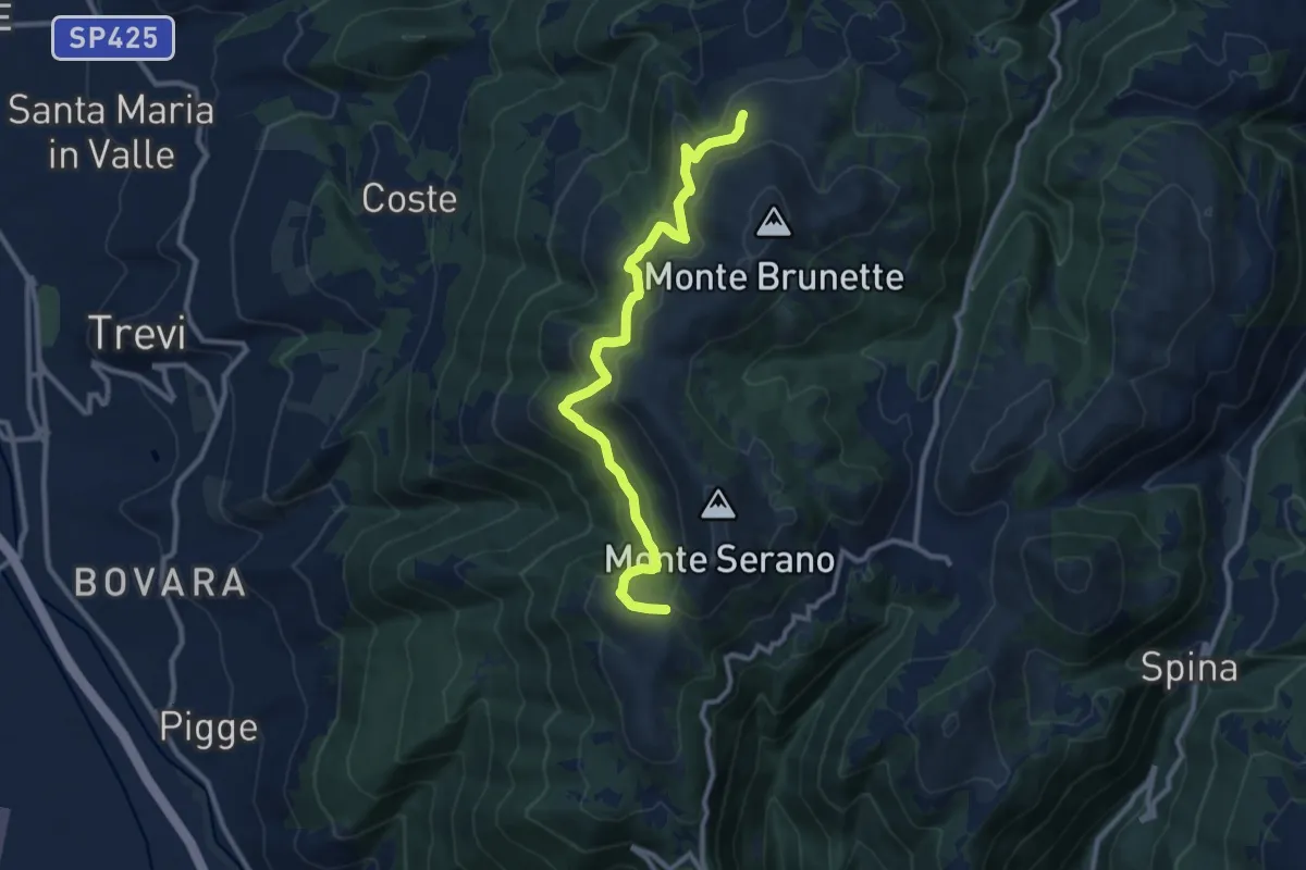
Medium · Trail
Intersezione percorso 370 – Sella Sant'Angelo
11.3 km · ↑ 595 m · 3 h 57 min · 13 km away
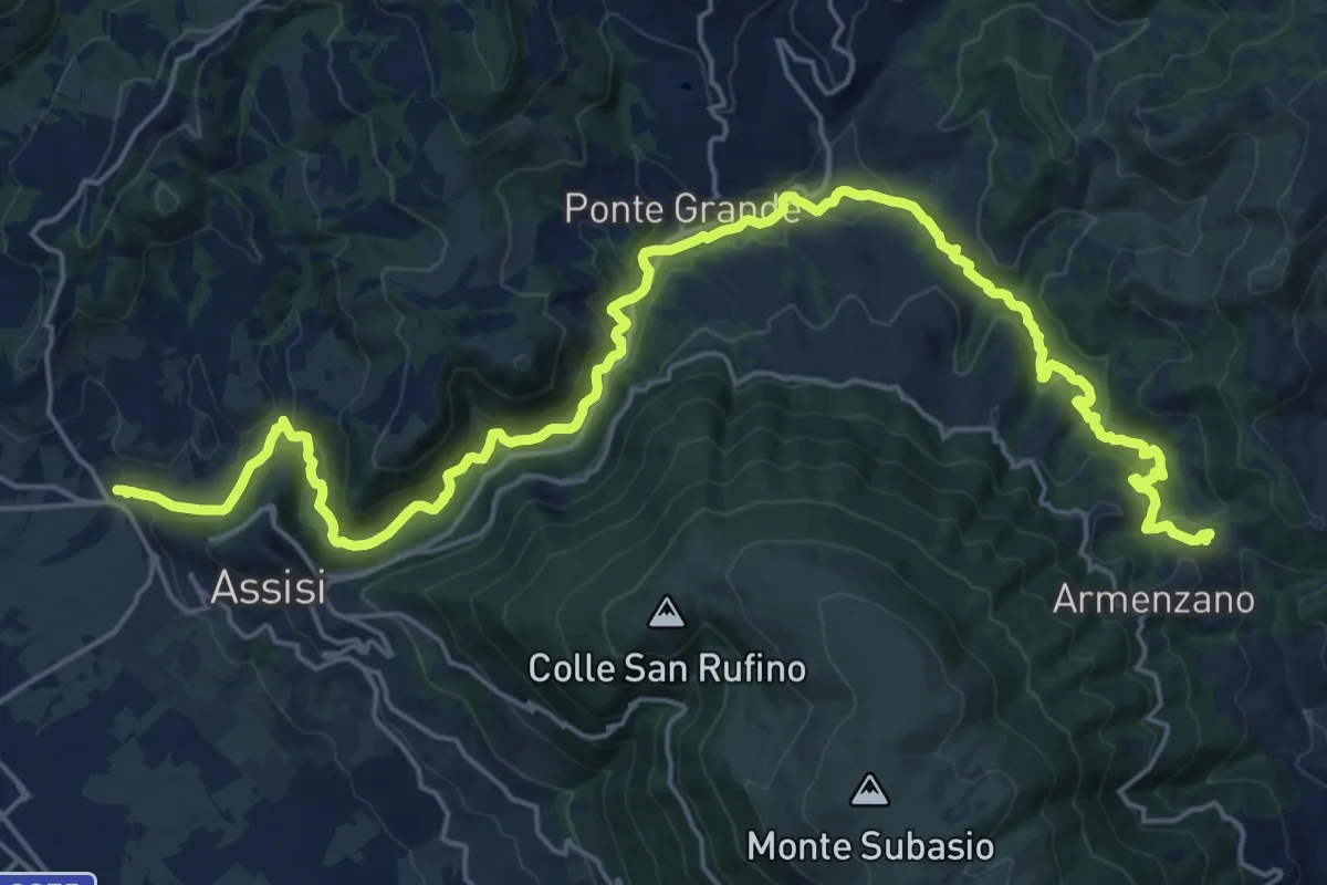
Medium · Trail
Ponte San Vittorino – Intersezione percorso 355
14.6 km · ↑ 257 m · 4 h 24 min · 13 km away
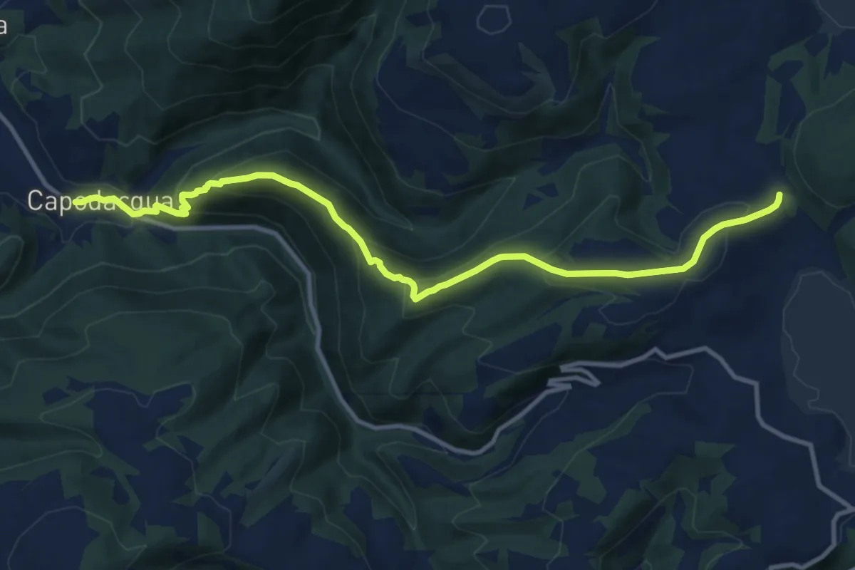
Medium · Trail
Capodacqua – Seggio (Bivio Lauretana)
12.2 km · ↑ 647 m · 4 h 17 min · 13 km away
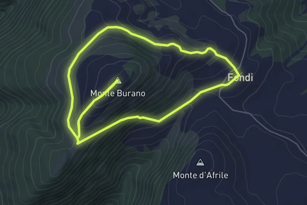
Easy · Summit
Giro del Monte Burano
5.3 km · ↑ 231 m · 1 h 50 min · 13 km away
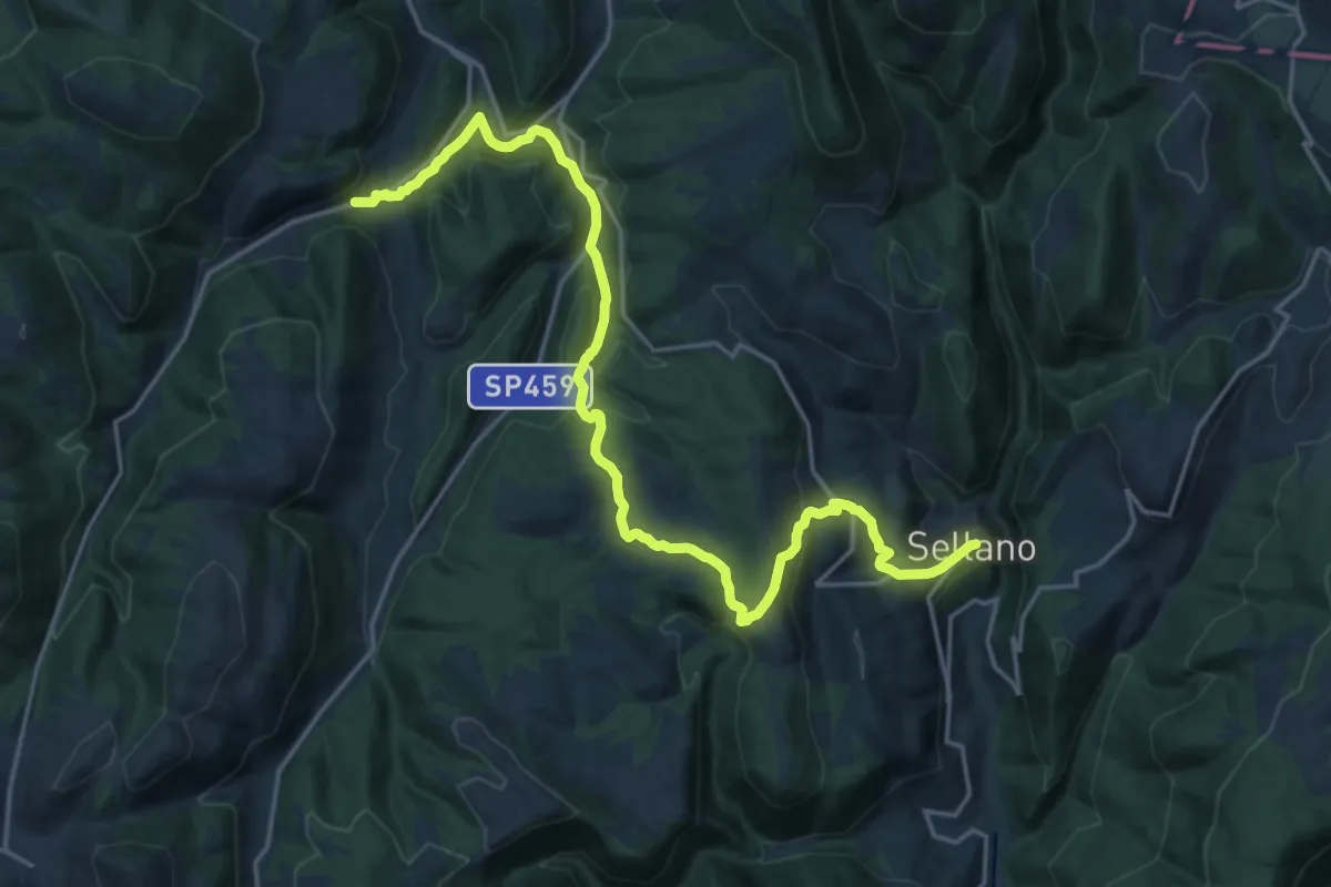
Demanding · Trail
Molini – Sellano
23.4 km · ↑ 679 m · 7 h · 13 km away
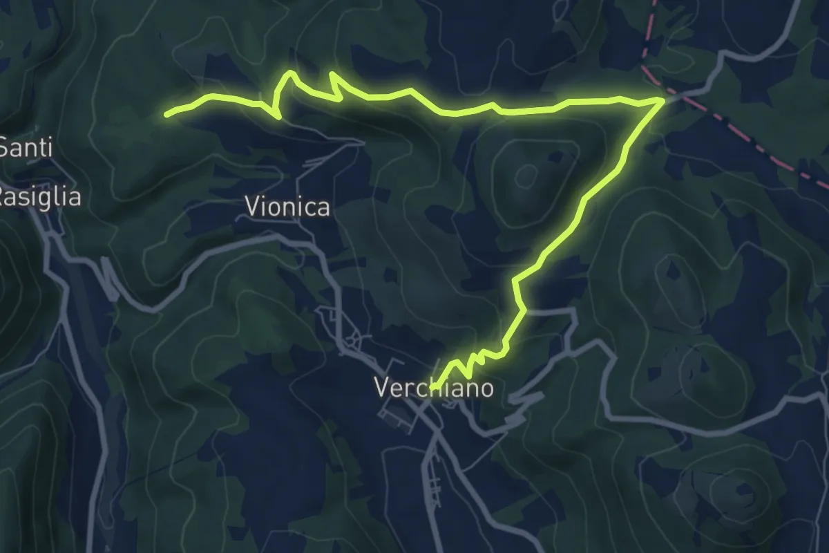
Medium · Trail
Anello dei Castelli
9.9 km · ↑ 425 m · 3 h 16 min · 13 km away
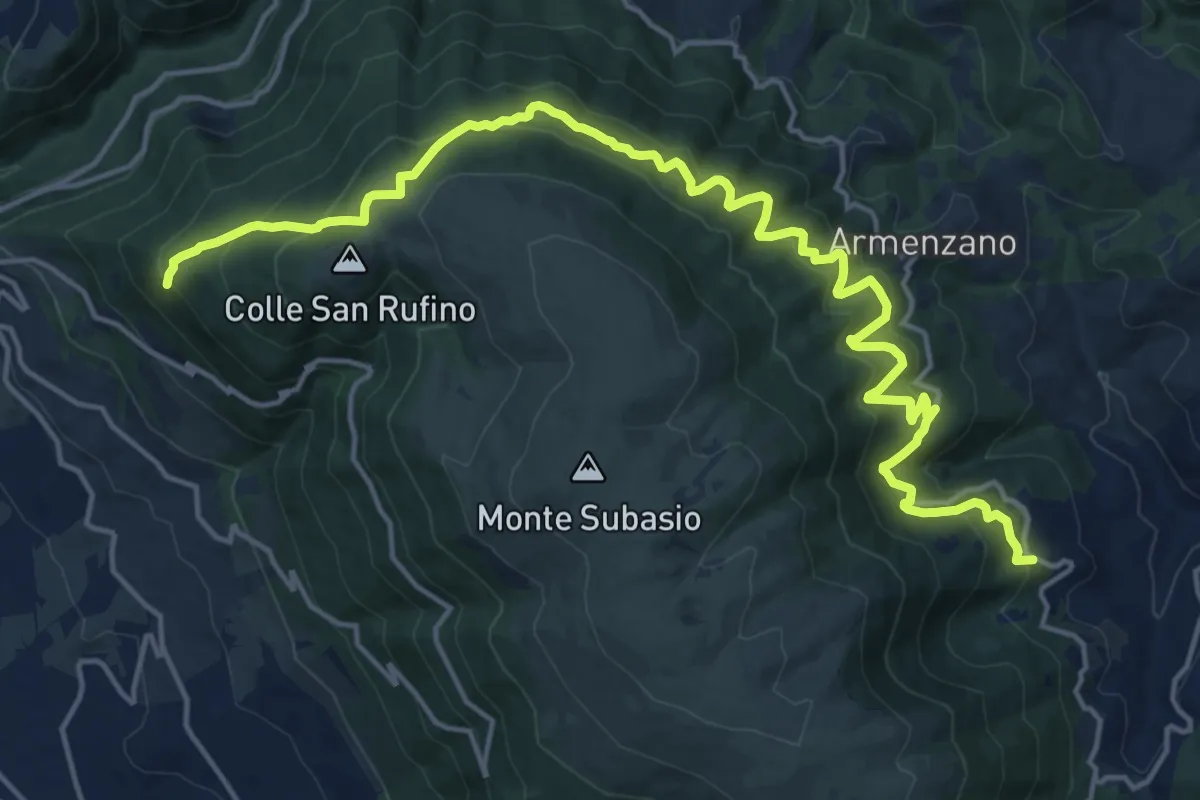
Medium · Trail
Assisi – San Giovanni
10.7 km · ↑ 635 m · 4 h 6 min · 14 km away
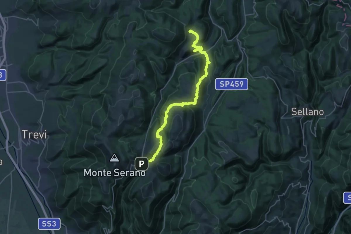
Medium · Trail
Case Rampi – Pettino
12.1 km · ↑ 556 m · 4 h 18 min · 14 km away
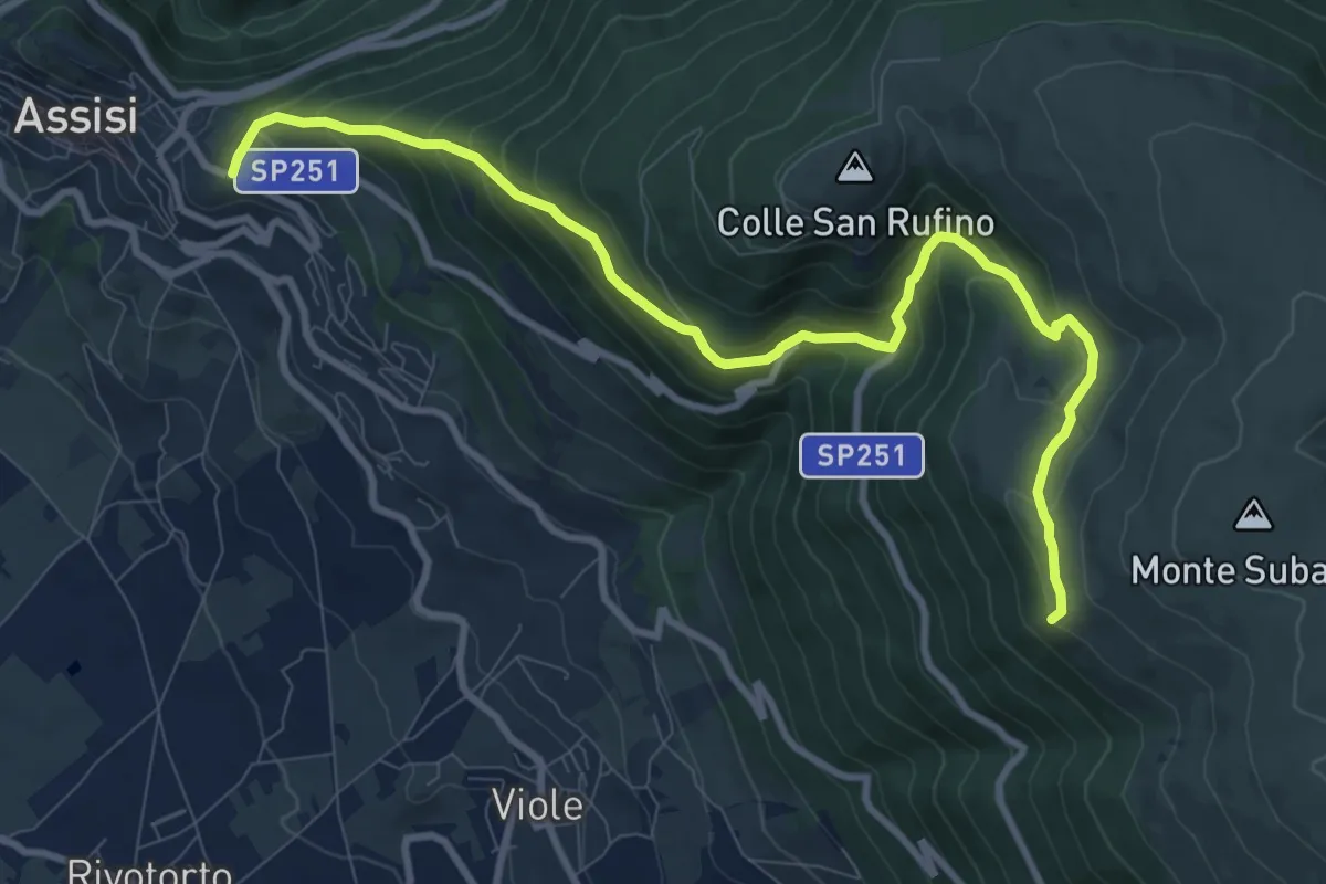
Medium · Summit
Assisi – Spello
11.3 km · ↑ 739 m · 4 h 17 min · 14 km away
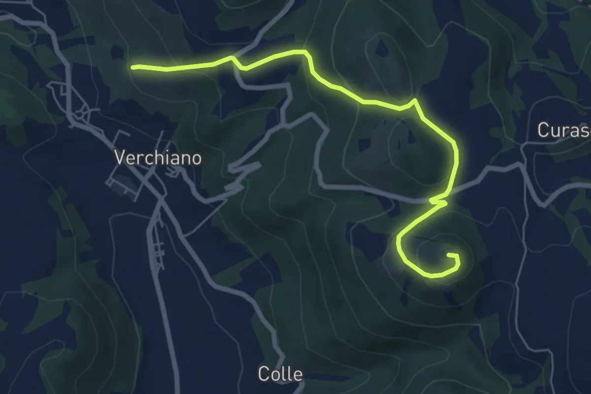
Easy · Summit
Intersezione percorso 381 – Monte San Salvatore
6.3 km · ↑ 314 m · 2 h 10 min · 15 km away
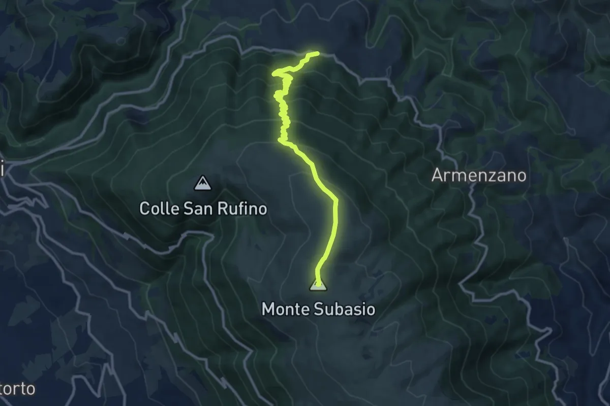
Medium · Summit
Costa di Trex – Monte Subasio
10.9 km · ↑ 685 m · 4 h 3 min · 15 km away
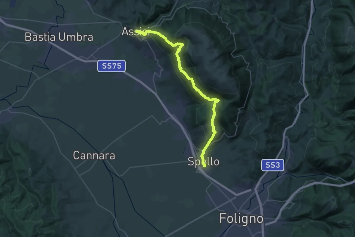
Demanding · Trail
Sentiero degli Ulivi - Tappa 5
15.2 km · ↑ 842 m · 5 h 43 min · 15 km away
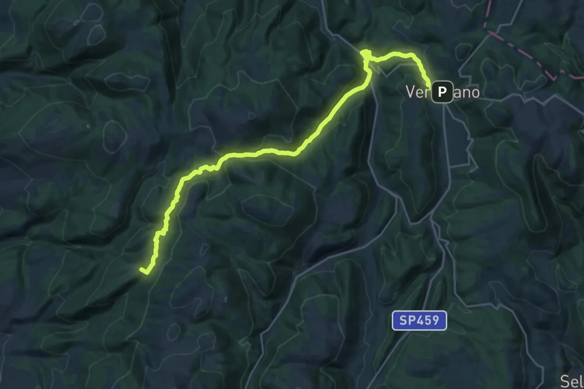
Demanding · Summit
Coste San Paolo – Verchiano
24.0 km · ↑ 977 m · 7 h 48 min · 15 km away
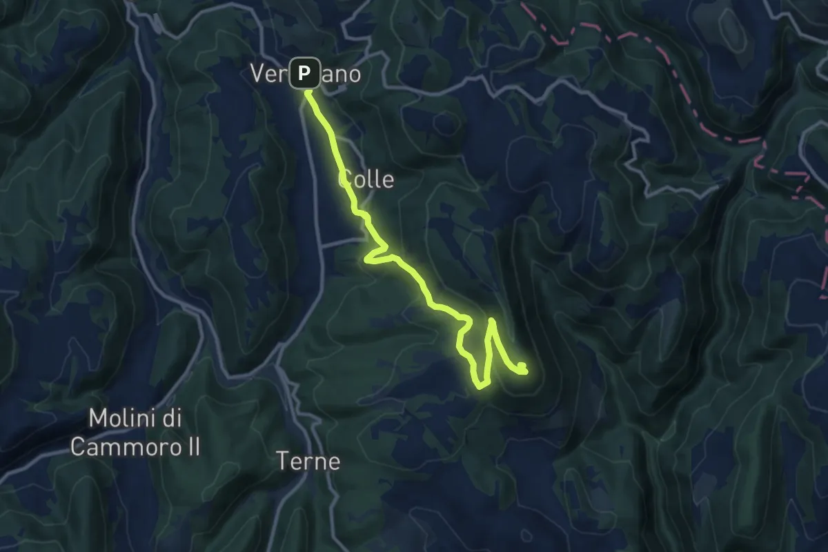
Medium · Summit
Verchiano – Monte Jugo
12.2 km · ↑ 435 m · 3 h 50 min · 15 km away