Trails near Fondi
47 hikes starting within 15 km, nearest first.
Nearest first
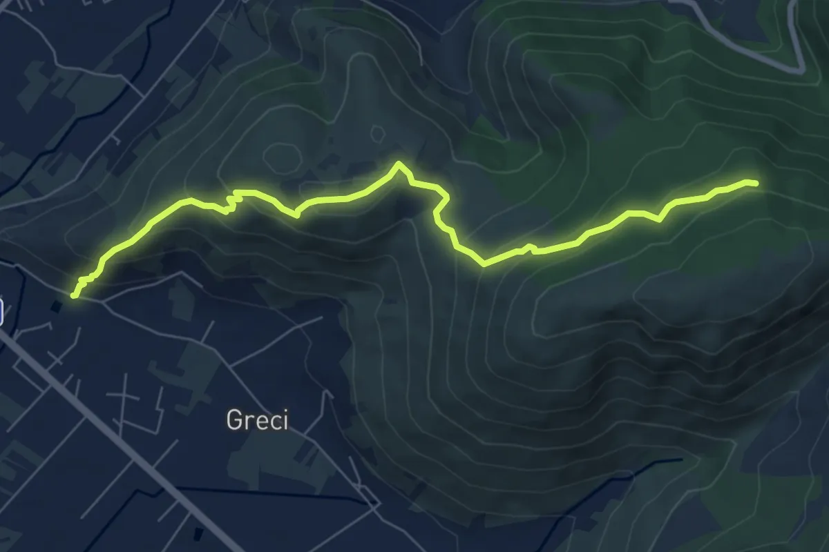
Medium · Trail
Fontana Gegni Monte Vele
8.3 km · ↑ 542 m · 3 h 7 min · 2 km away
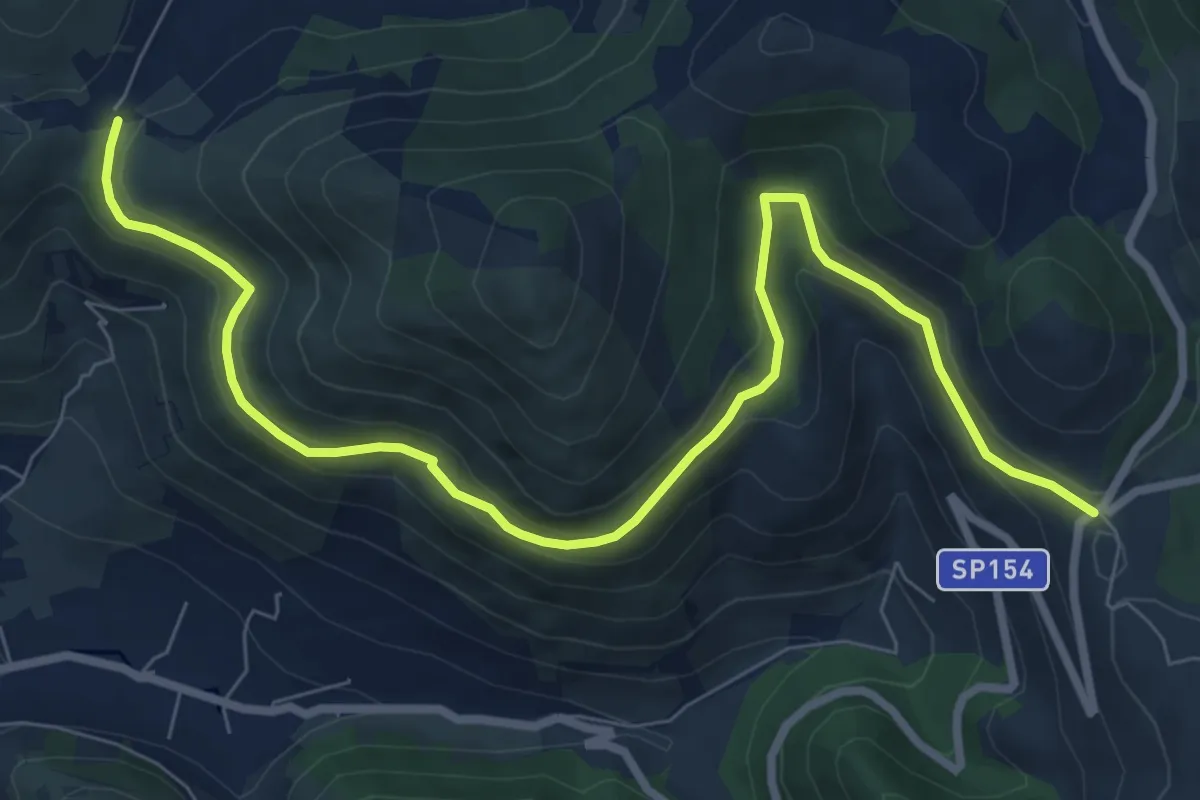
Medium · Trail
Le Crocette-La Ripa
10.4 km · ↑ 387 m · 3 h 18 min · 4 km away
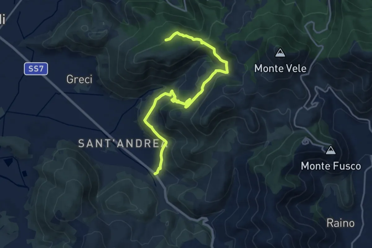
Medium · Trail
Piana di Sant'andrea, km125.6 via Appia – Chiesa di Santa Maria Romana
14.7 km · ↑ 618 m · 4 h 49 min · 4 km away
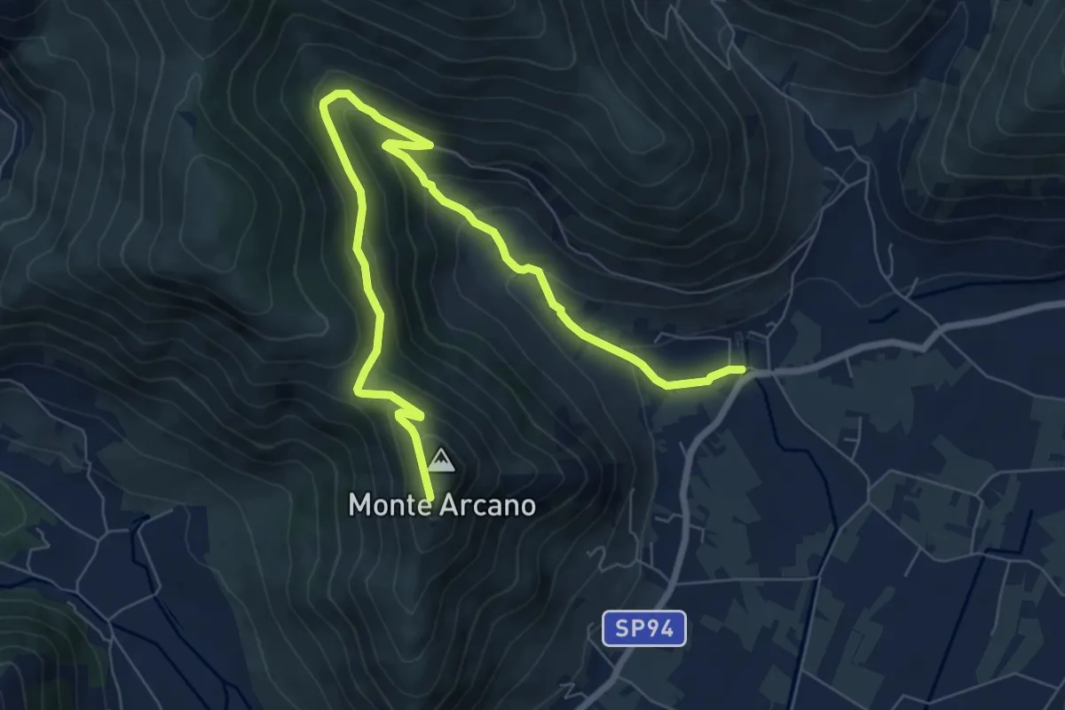
Expert · Trail
San Magno-Santuario di Madonna della Rocca
10.0 km · ↑ 533 m · 3 h 31 min · 4 km away
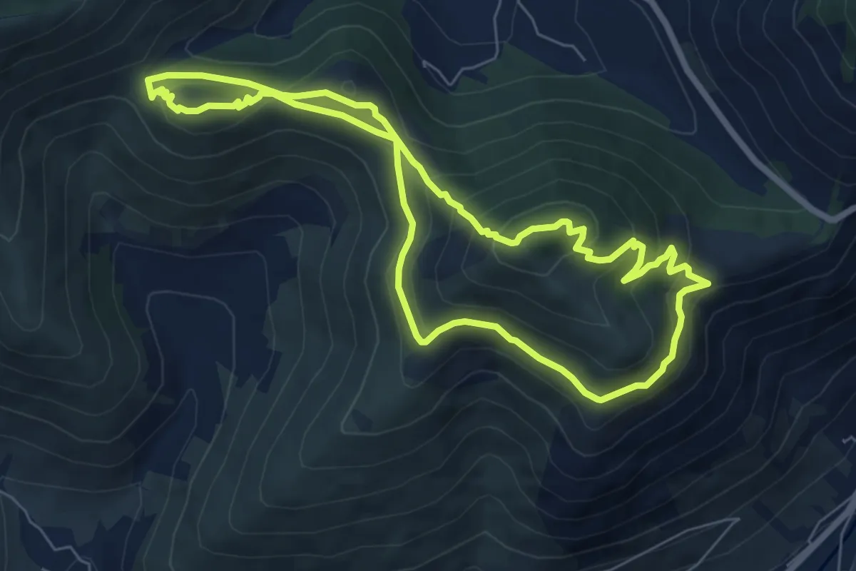
Medium · Summit
Giro Quercia del Monaco-Cima del Monte-Acquaviva
7.1 km · ↑ 416 m · 2 h 40 min · 5 km away
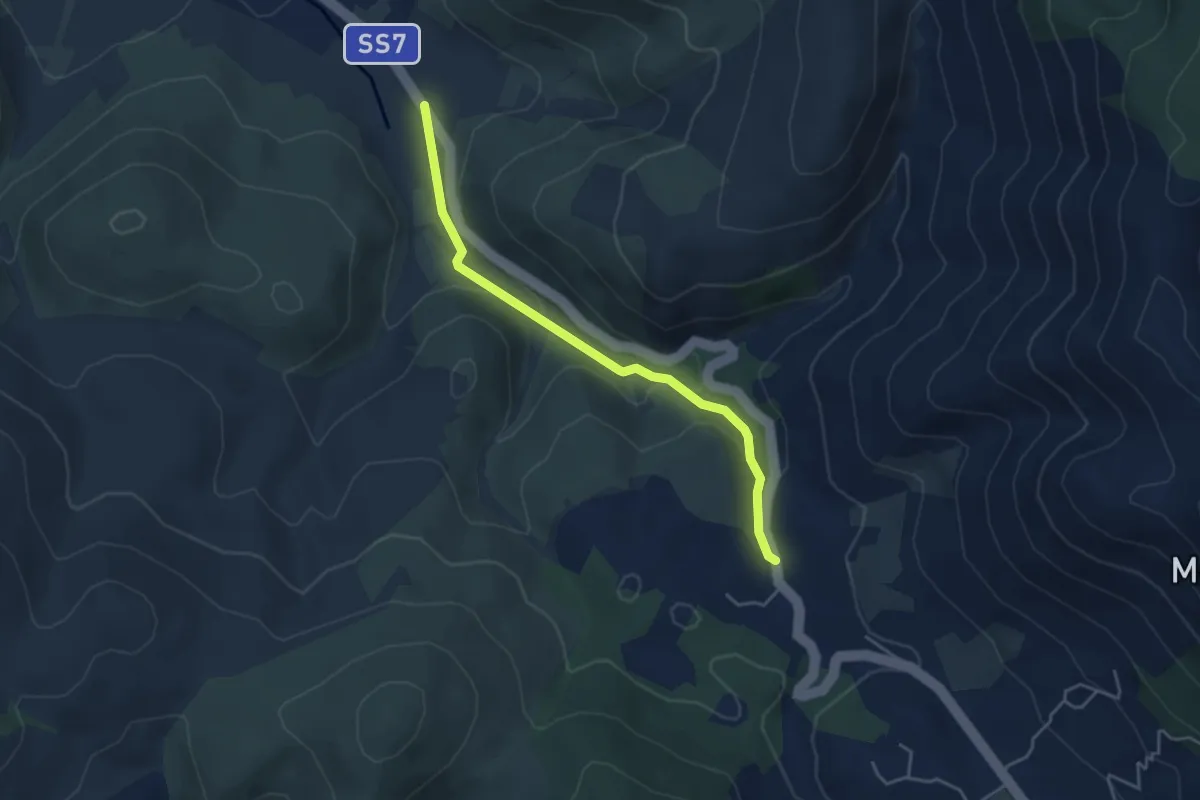
Easy · Trail
Via Appia Antica nel Parco Naturale dei Monti Aurunci
4.5 km · ↑ 134 m · 1 h 22 min · 6 km away
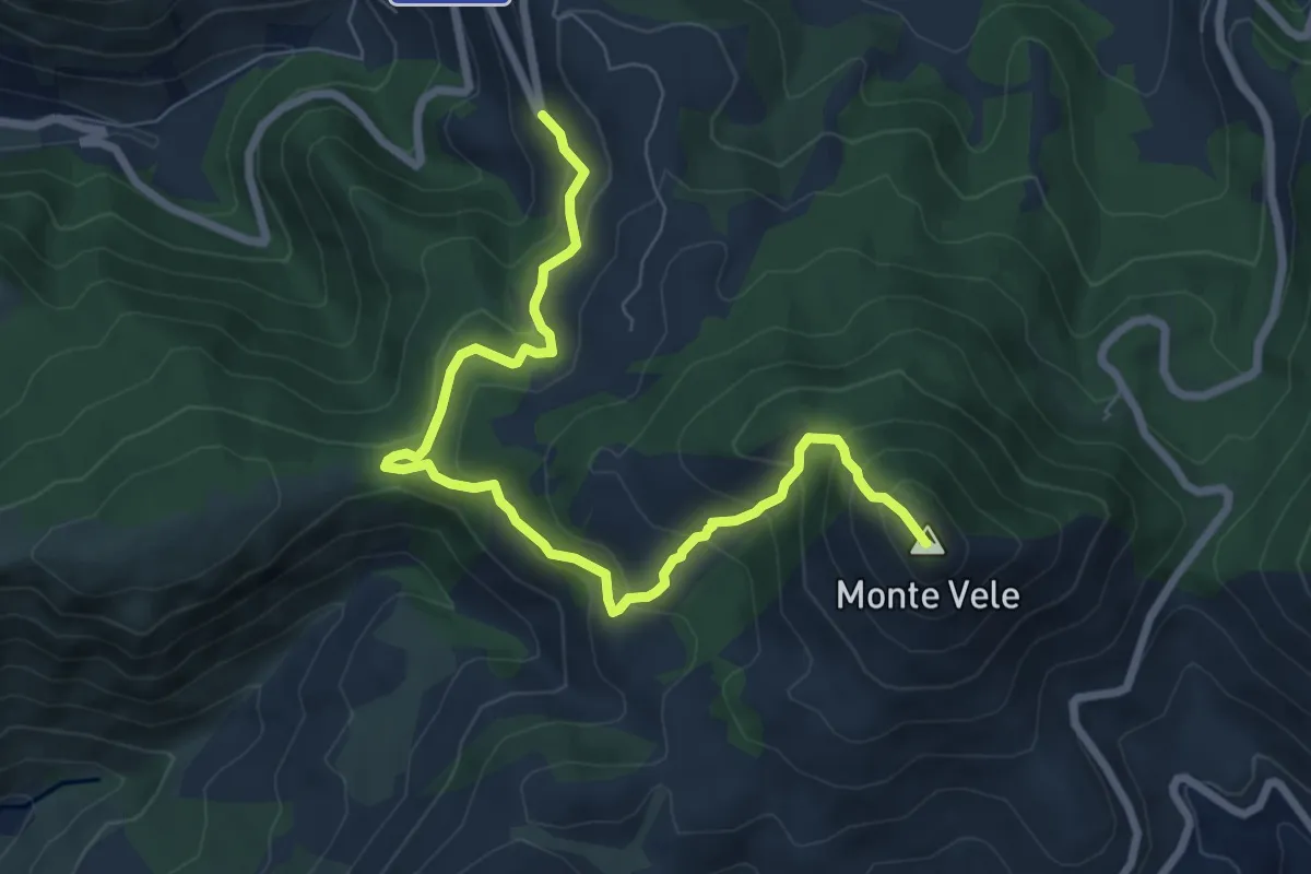
Medium · Summit
Serra Saglione-Monte Vele
8.8 km · ↑ 598 m · 3 h 23 min · 6 km away
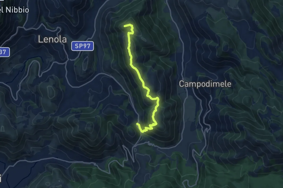
Demanding · Summit
Le Crocette-Monte Appiolo
13.5 km · ↑ 837 m · 5 h · 6 km away
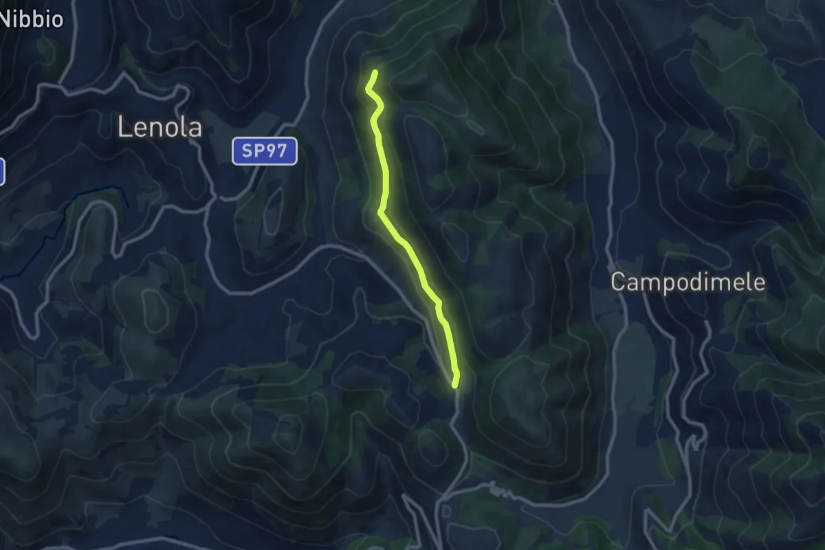
Easy · Trail
Località Le Crocette – Rifugio di Monte Appiolo
7.8 km · ↑ 250 m · 2 h 22 min · 6 km away
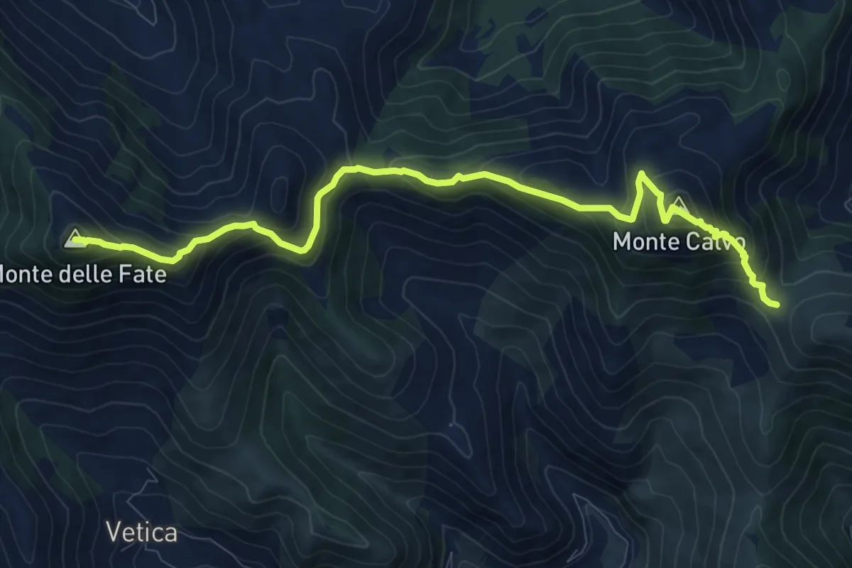
Demanding · Summit
Monte delle Fate-Monte Calvo- Serra Buana
11.6 km · ↑ 897 m · 4 h 40 min · 8 km away
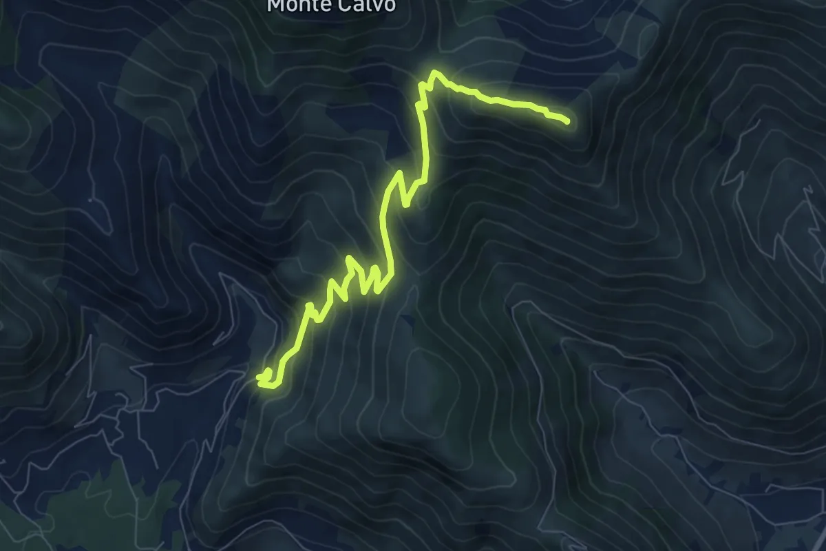
Medium · Summit
Monte Latiglia-Monte Cimoletta
9.7 km · ↑ 746 m · 3 h 54 min · 8 km away
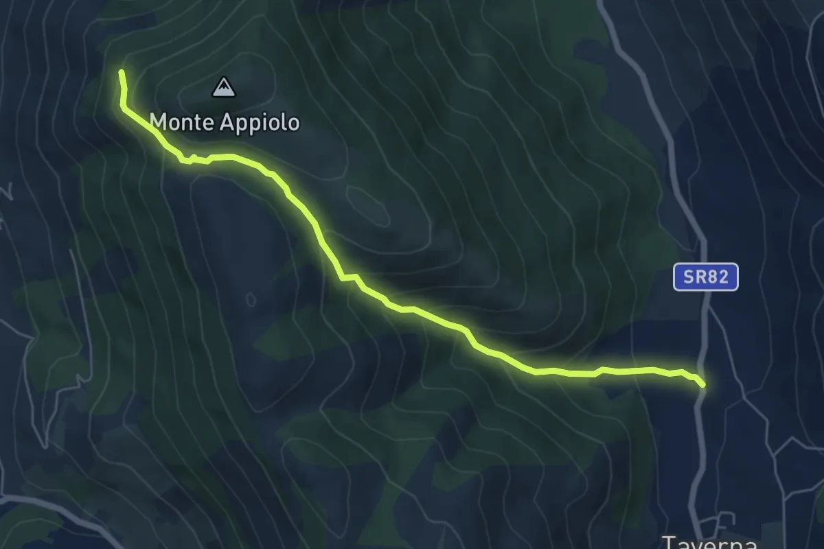
Medium · Trail
Taverna-Rifugio Monte Appiolo
6.7 km · ↑ 518 m · 2 h 43 min · 8 km away
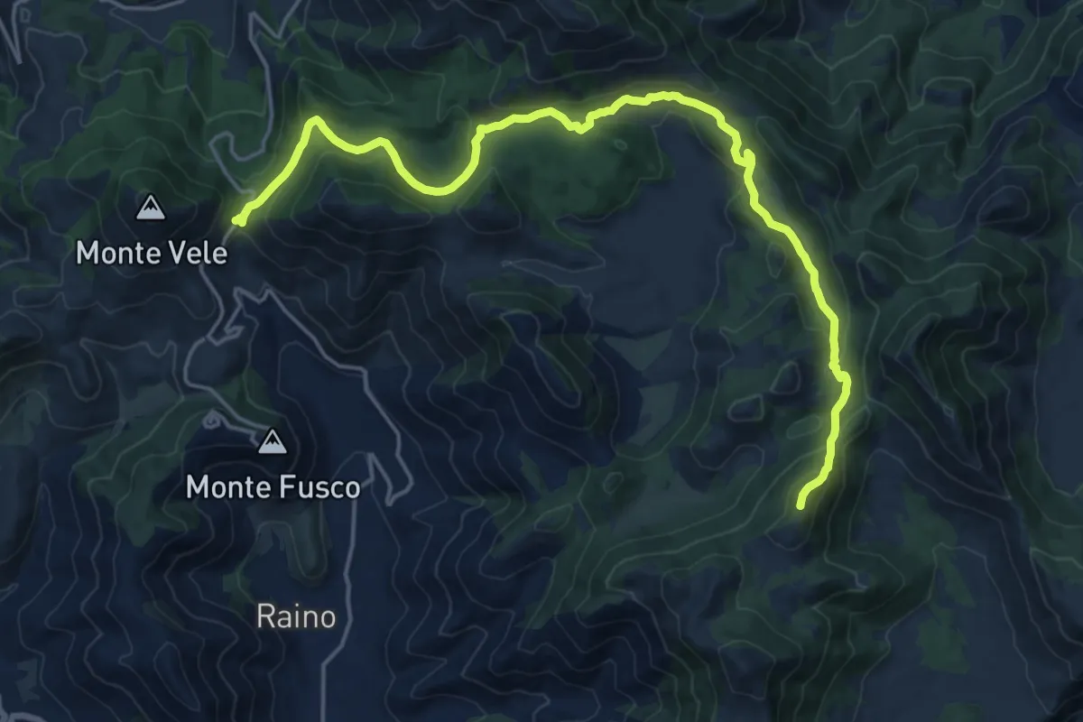
Demanding · Summit
Passo San Nicola-Monte Viola
22.7 km · ↑ 855 m · 7 h 13 min · 8 km away
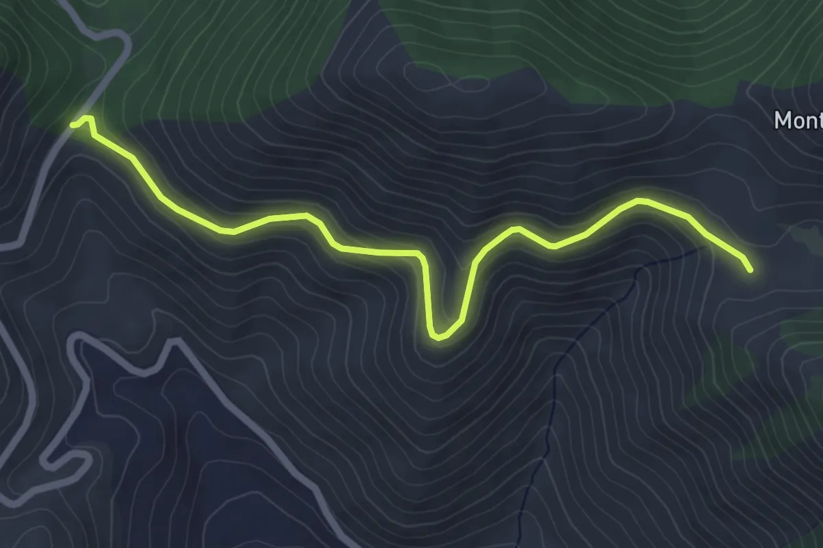
Easy · Trail
Passo San Nicola-Monte Trina
5.9 km · ↑ 269 m · 1 h 59 min · 8 km away
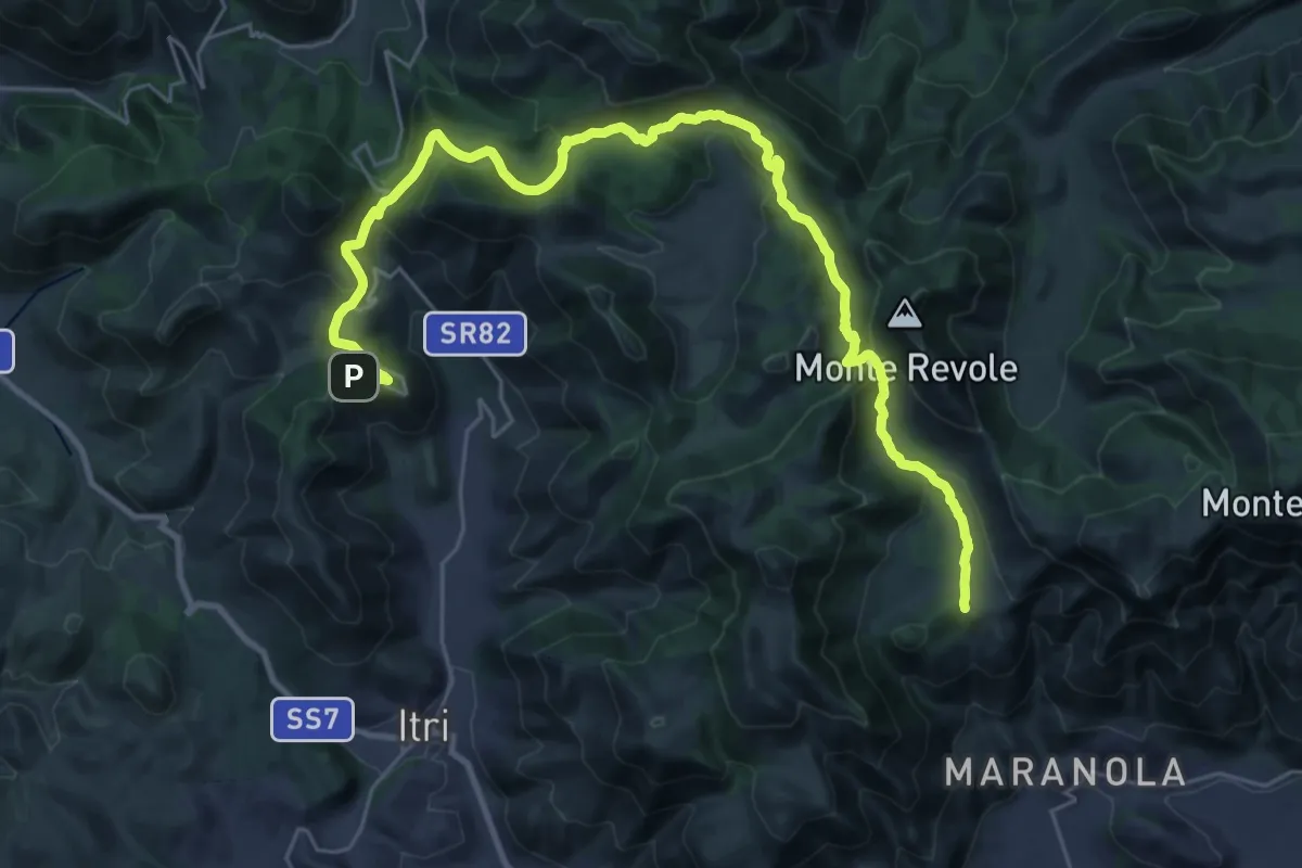
Medium · Pilgrim path
Cammino di San Filippo Neri - Tappa 6
18.0 km · ↑ 668 m · 5 h 54 min · 8 km away
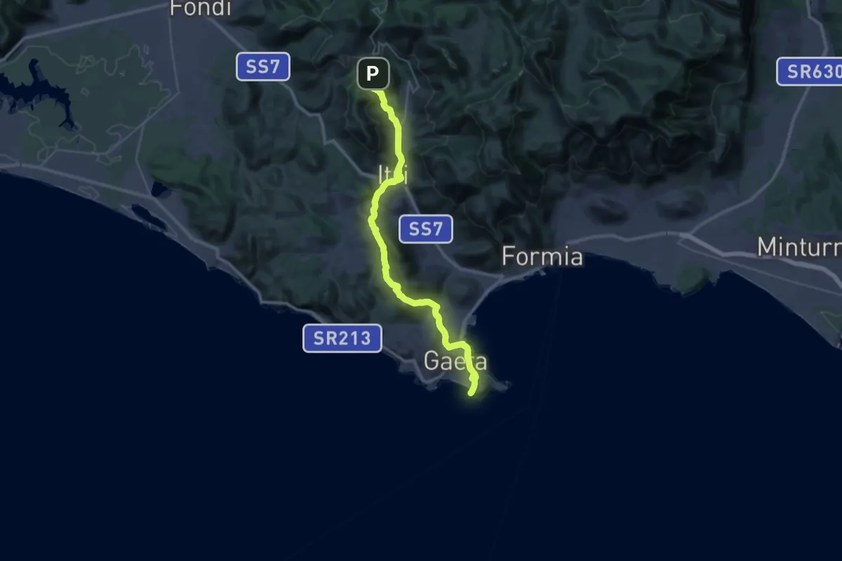
Demanding · Pilgrim path
Cammino di San Filippo Neri - Tappa 7
20.1 km · ↑ 347 m · 6 h 6 min · 8 km away
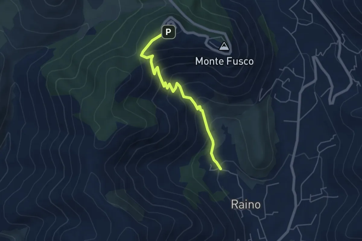
Medium · Trail
Contrada Raino-Madonna della Civita
5.1 km · ↑ 417 m · 2 h 6 min · 8 km away
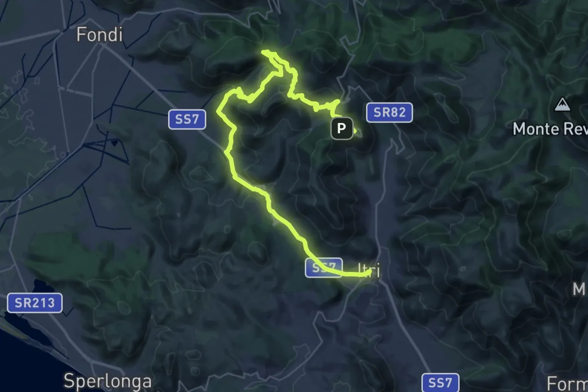
Demanding · Trail
Cammino degli Aurunci - Tappa 4
19.8 km · ↑ 477 m · 6 h 13 min · 8 km away
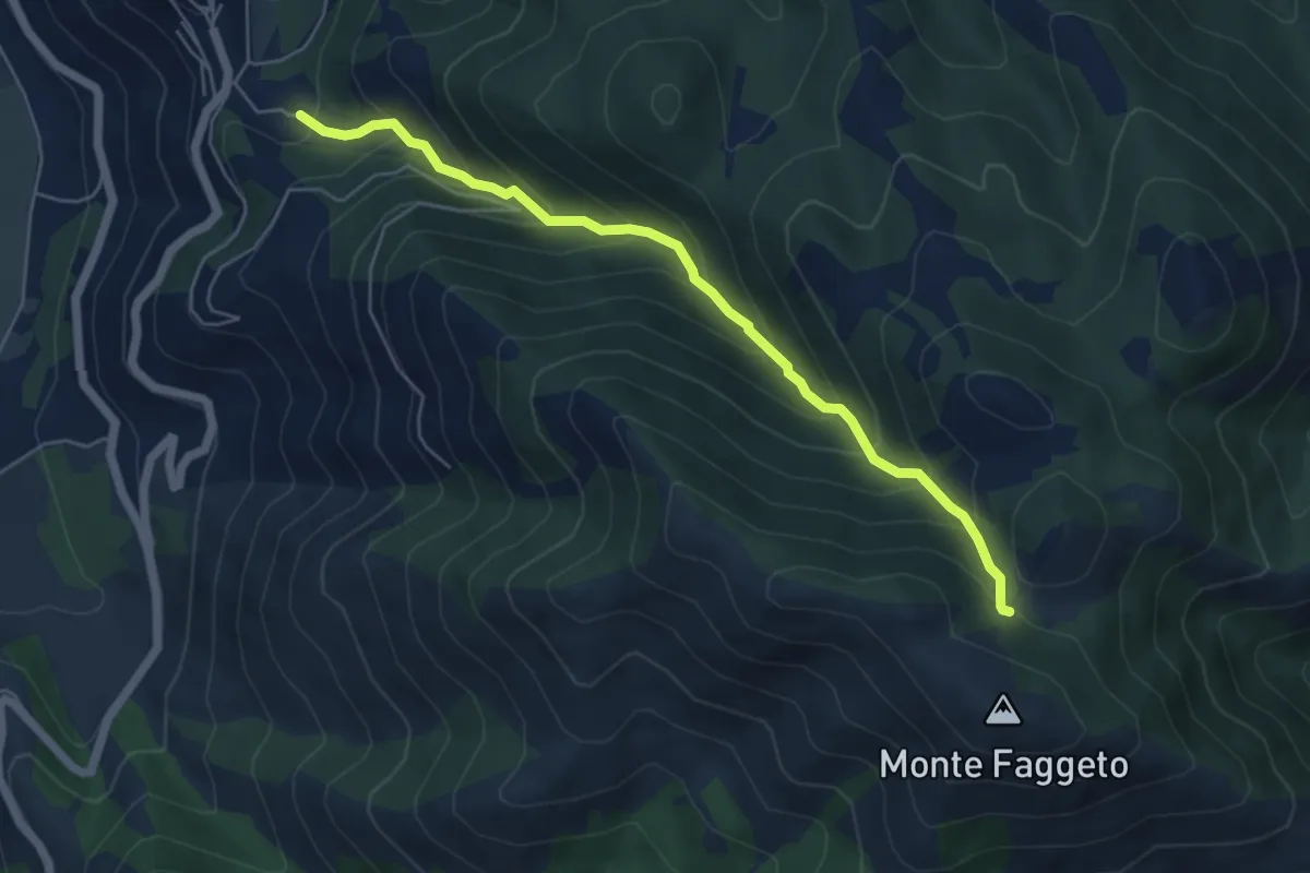
Medium · Cabin
Canale del Tasso-Monte Faggeto
6.0 km · ↑ 560 m · 2 h 38 min · 9 km away
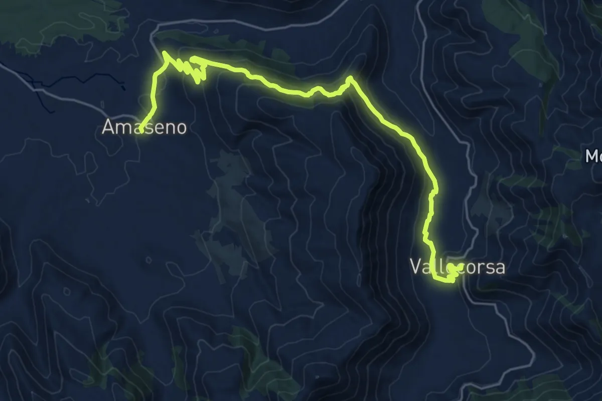
Medium · Trail
Cammino della Regina Camilla - Tappa 9
13.3 km · ↑ 481 m · 4 h 30 min · 10 km away
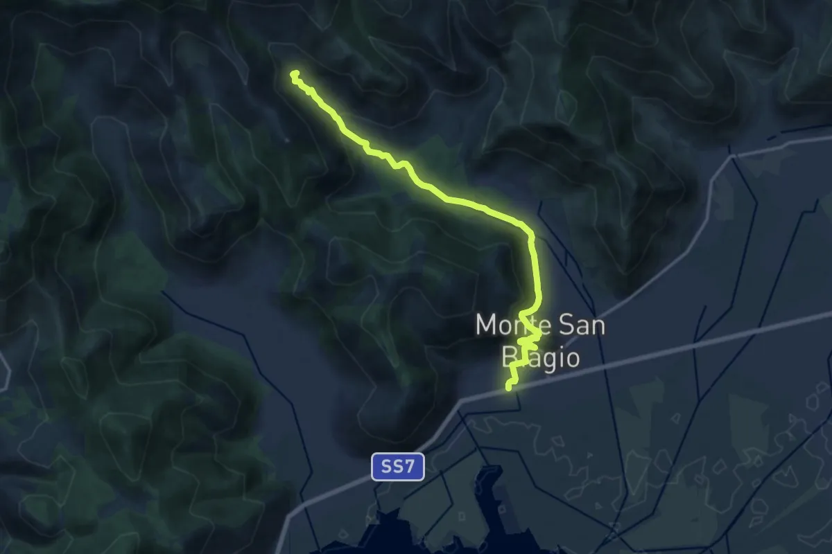
Medium · Trail
Stazione di Monte San Biagio – Fonte Vetica
15.7 km · ↑ 486 m · 4 h 45 min · 10 km away
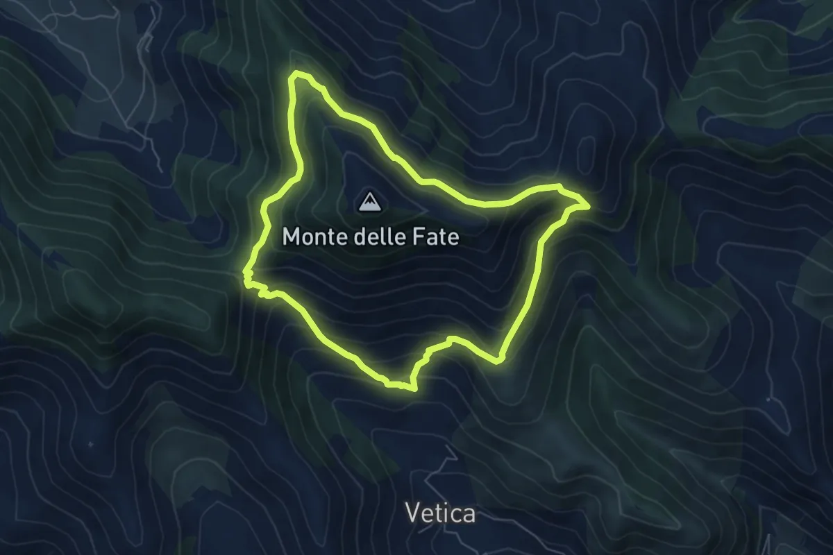
Medium · Trail
Anello Mandra di Riccitiello - Jo Caturo
6.6 km · ↑ 487 m · 2 h 42 min · 11 km away
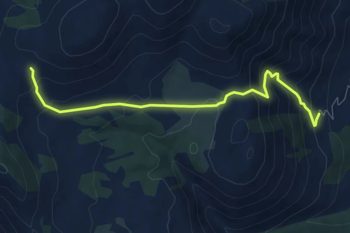
Medium · Trail
La Priata-Varo del Colle
6.9 km · ↑ 510 m · 2 h 44 min · 11 km away
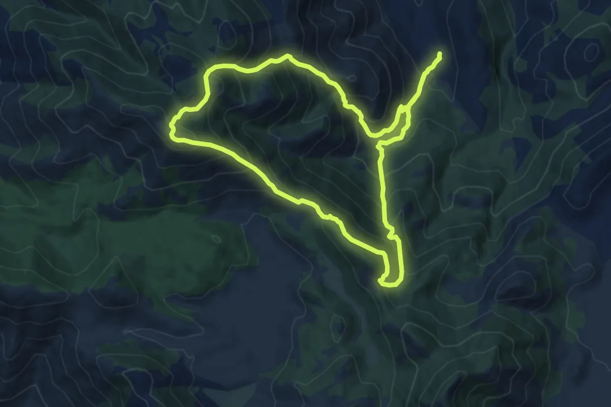
Demanding · Summit
Anello Sant'Ermo-Monte Faggeto
12.8 km · ↑ 1064 m · 5 h 30 min · 11 km away
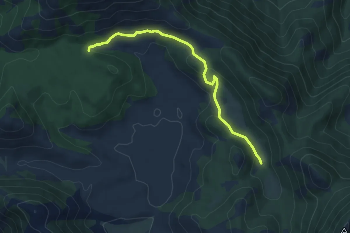
Easy · Trail
Sentiero LH16 Campello Vecchio
7.0 km · ↑ 175 m · 2 h 2 min · 11 km away
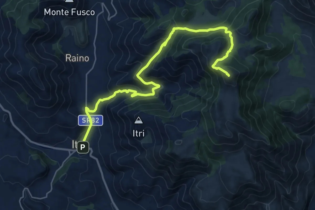
Demanding · Summit
Cammino degli Aurunci - Tappa 3
21.4 km · ↑ 1139 m · 7 h 31 min · 11 km away
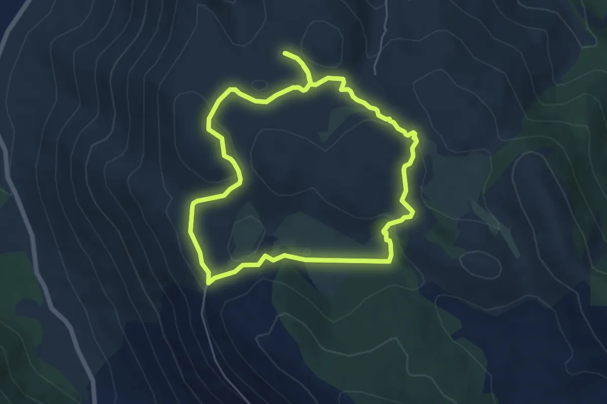
Easy · Trail
Anello di Santo Onofrio
5.3 km · ↑ 139 m · 1 h 37 min · 11 km away
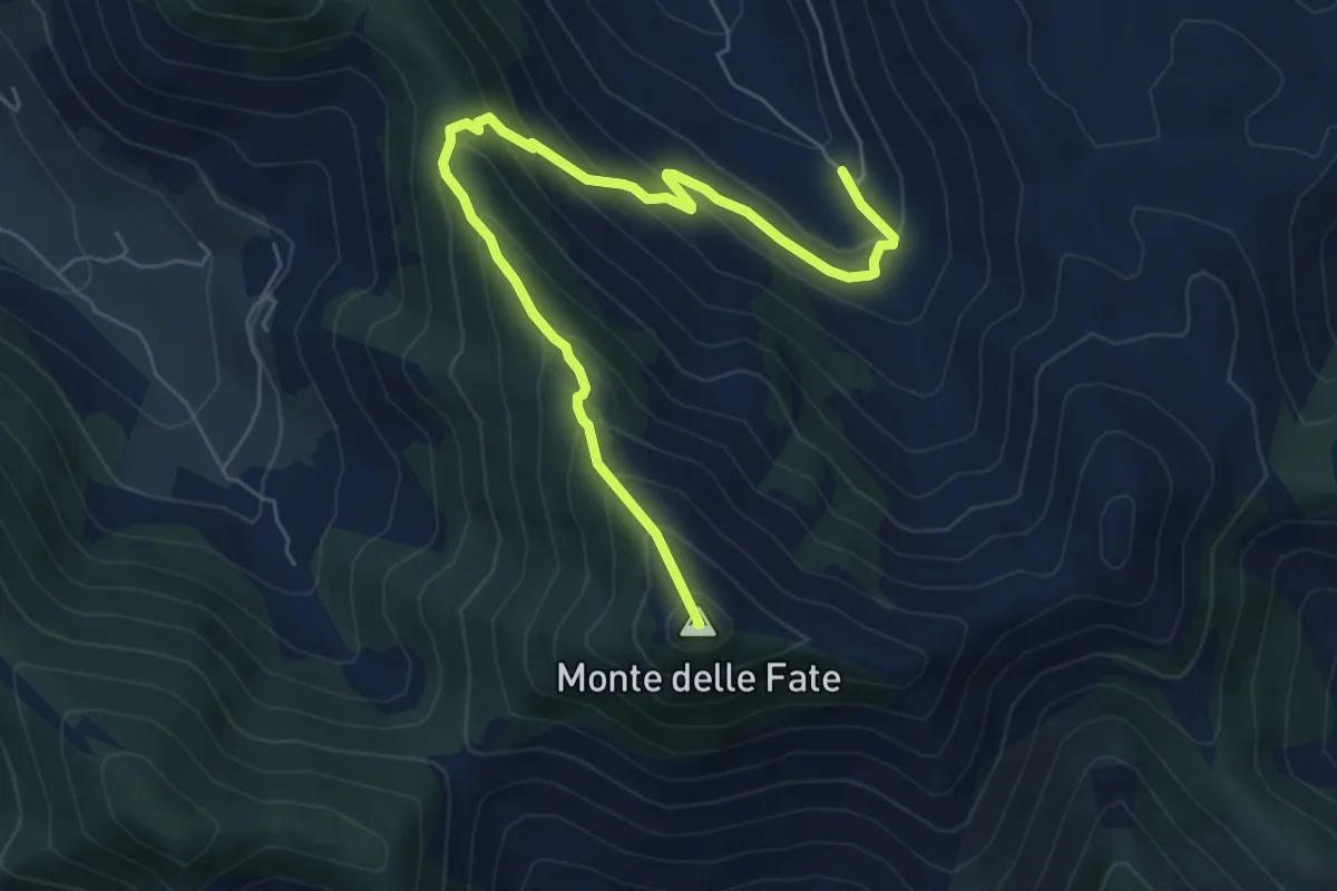
Medium · Summit
Valle Vettia(Ravicelle)-Monte delle Fate
7.6 km · ↑ 602 m · 3 h 7 min · 12 km away
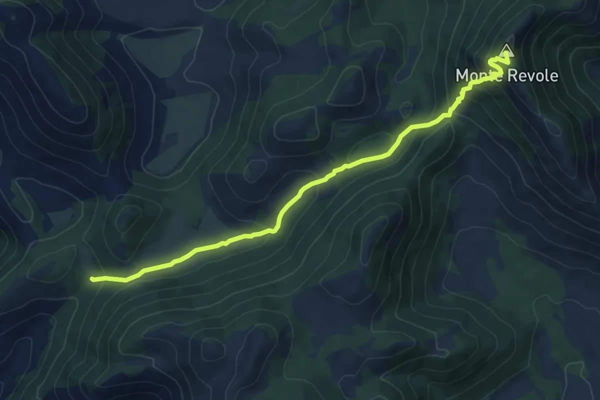
Medium · Summit
La Valle di Itri-Monte Revole
8.5 km · ↑ 559 m · 3 h 14 min · 12 km away
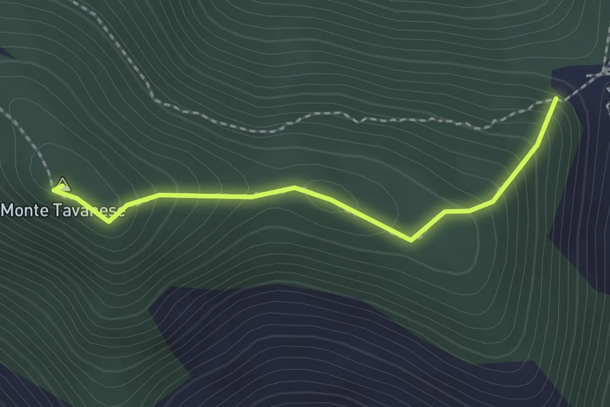
Easy · Summit
Serra Palombi CAI 534 – Sentiero CAI 534
2.0 km · ↑ 168 m · 51 min · 12 km away
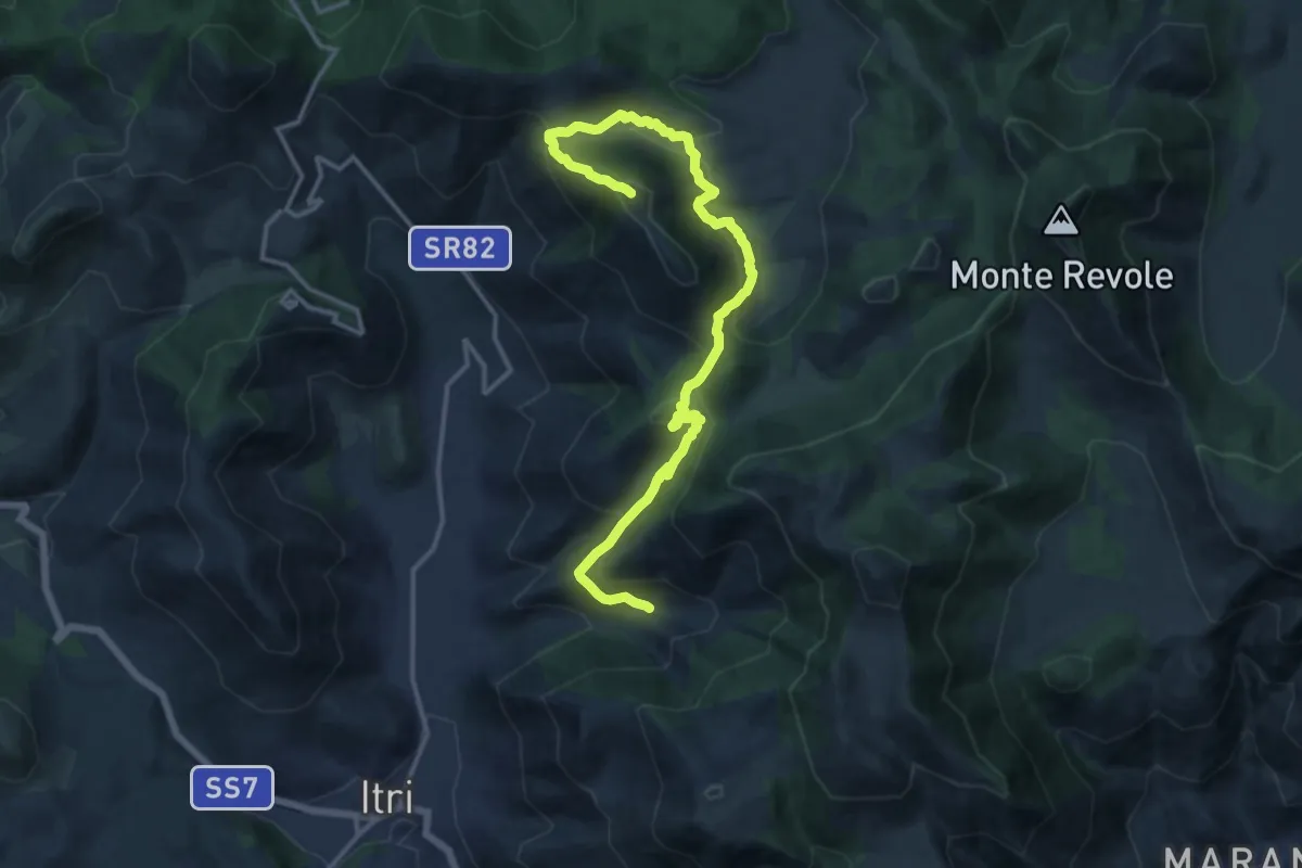
Demanding · Summit
La Valle di Itri-Monte Trina
17.8 km · ↑ 978 m · 6 h 20 min · 12 km away
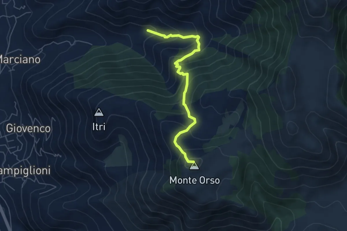
Medium · Summit
La Valle di Itri-Monte Orso
5.8 km · ↑ 528 m · 2 h 31 min · 12 km away
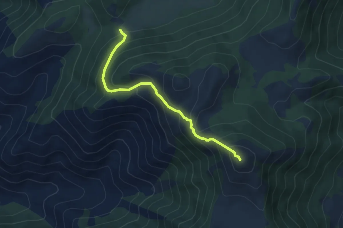
Medium · Summit
La Valle di Itri-Monte Ruazzo
5.2 km · ↑ 461 m · 2 h 13 min · 12 km away
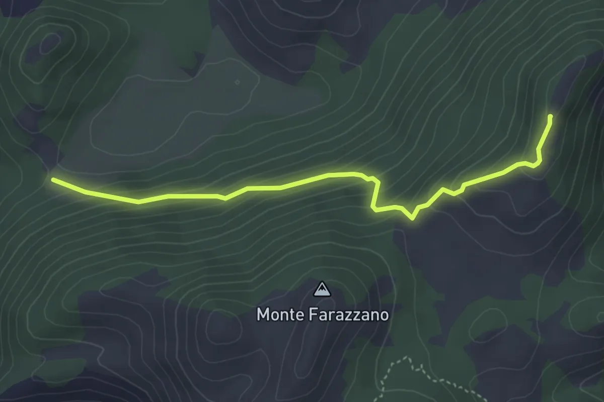
Easy · Summit
La Valle di Itri-Monte Viola
4.5 km · ↑ 306 m · 1 h 43 min · 12 km away
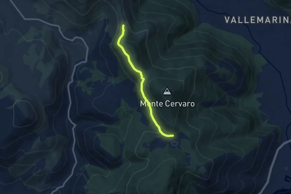
Easy · Trail
Via dei Cippi Variante Santo Stefano
5.7 km · ↑ 190 m · 1 h 46 min · 13 km away
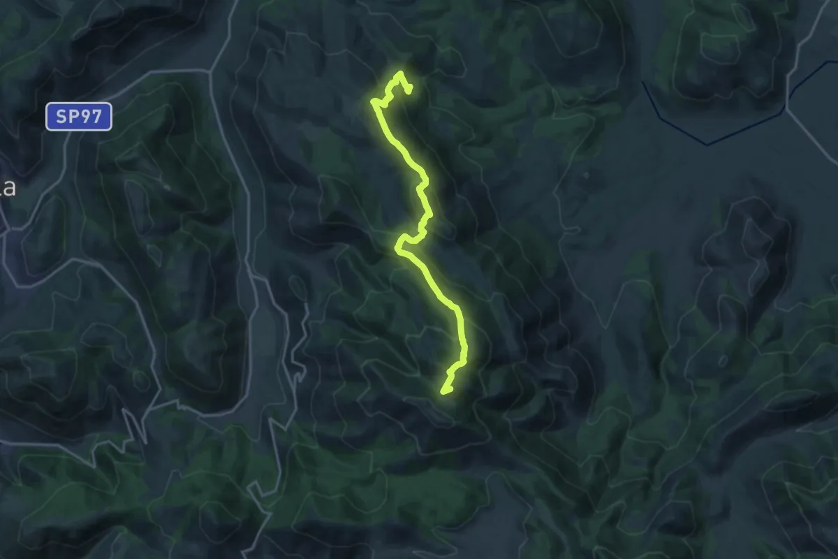
Demanding · Summit
Rifugio Ranucci-Monte Faggeto
17.4 km · ↑ 1075 m · 6 h 27 min · 13 km away
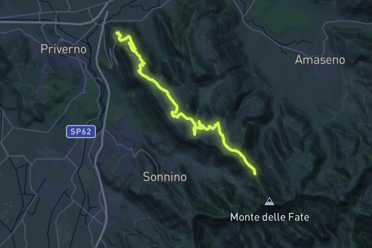
Medium · Trail
Roccasecca dei Volsci – Percorso 535
16.0 km · ↑ 298 m · 4 h 50 min · 13 km away
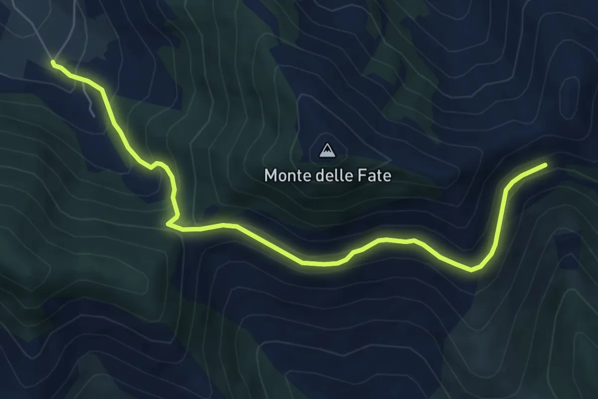
Medium · Trail
Cerreto-Serra Palombi-Fontana La Savia
7.2 km · ↑ 430 m · 2 h 38 min · 13 km away
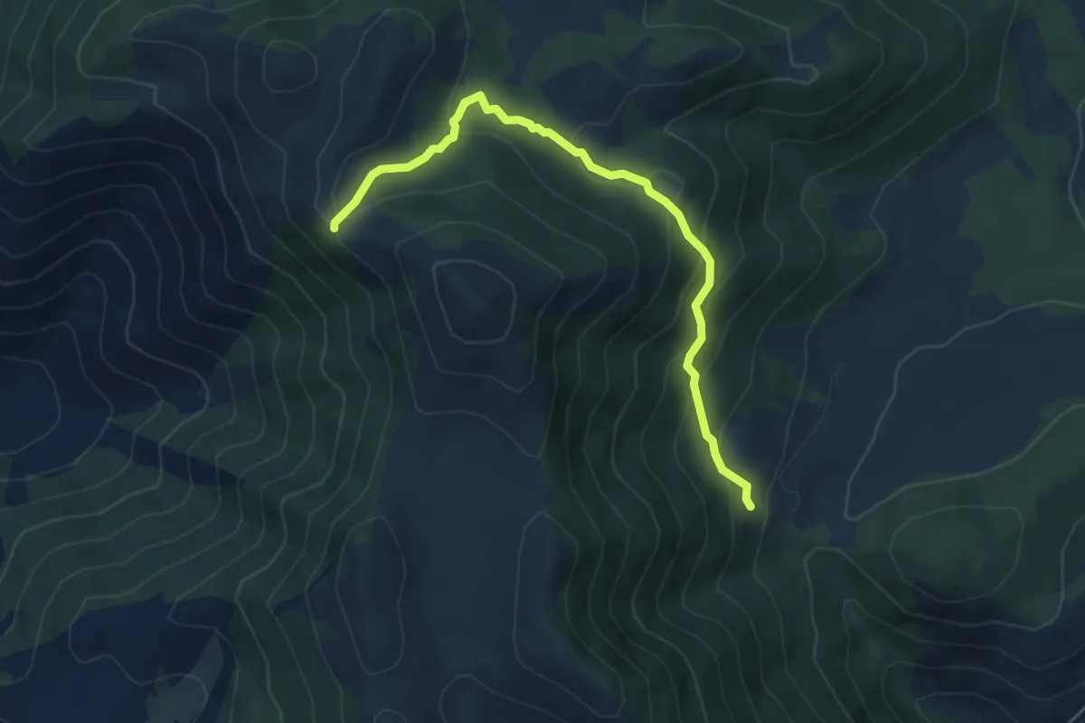
Medium · Cabin
Rifugio Acquaviva-Monte Ruazzo
5.6 km · ↑ 356 m · 2 h 5 min · 13 km away
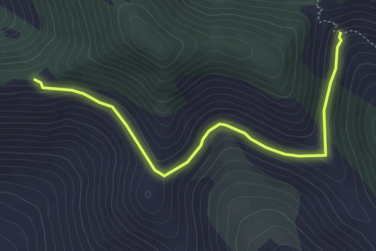
Easy · Trail
Serra Palombi – CAI 534
5.2 km · ↑ 209 m · 1 h 41 min · 13 km away
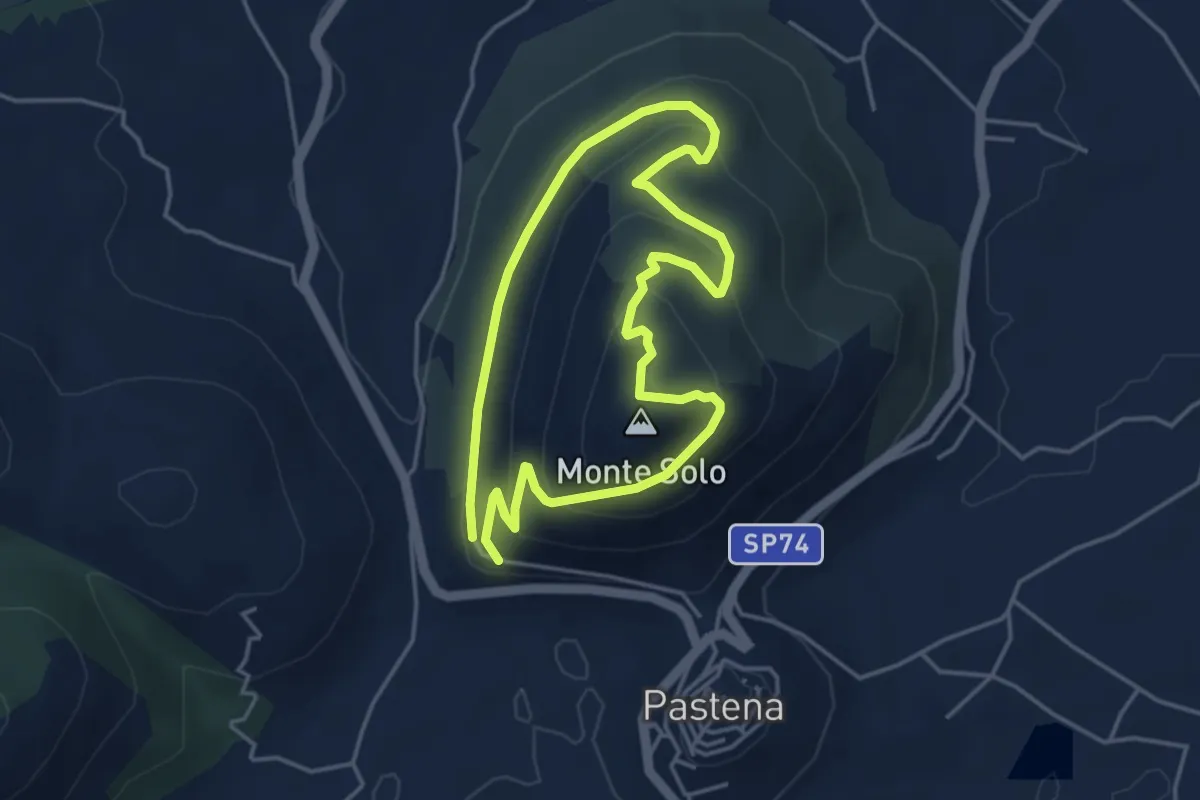
Easy · Summit
Anello di Monte Solo
4.0 km · ↑ 208 m · 1 h 27 min · 14 km away
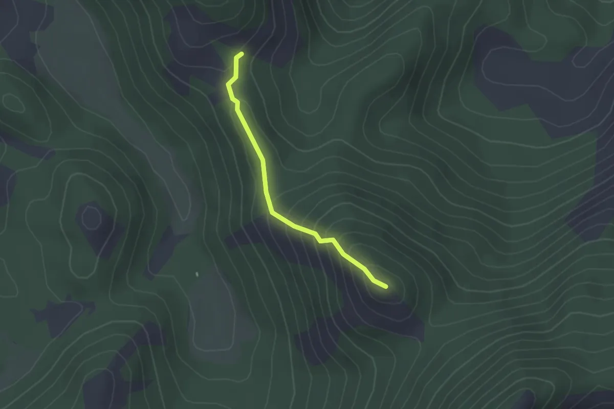
Easy · Summit
Intersezione CAI 907 – Monte Fragoloso
2.2 km · ↑ 172 m · 54 min · 14 km away
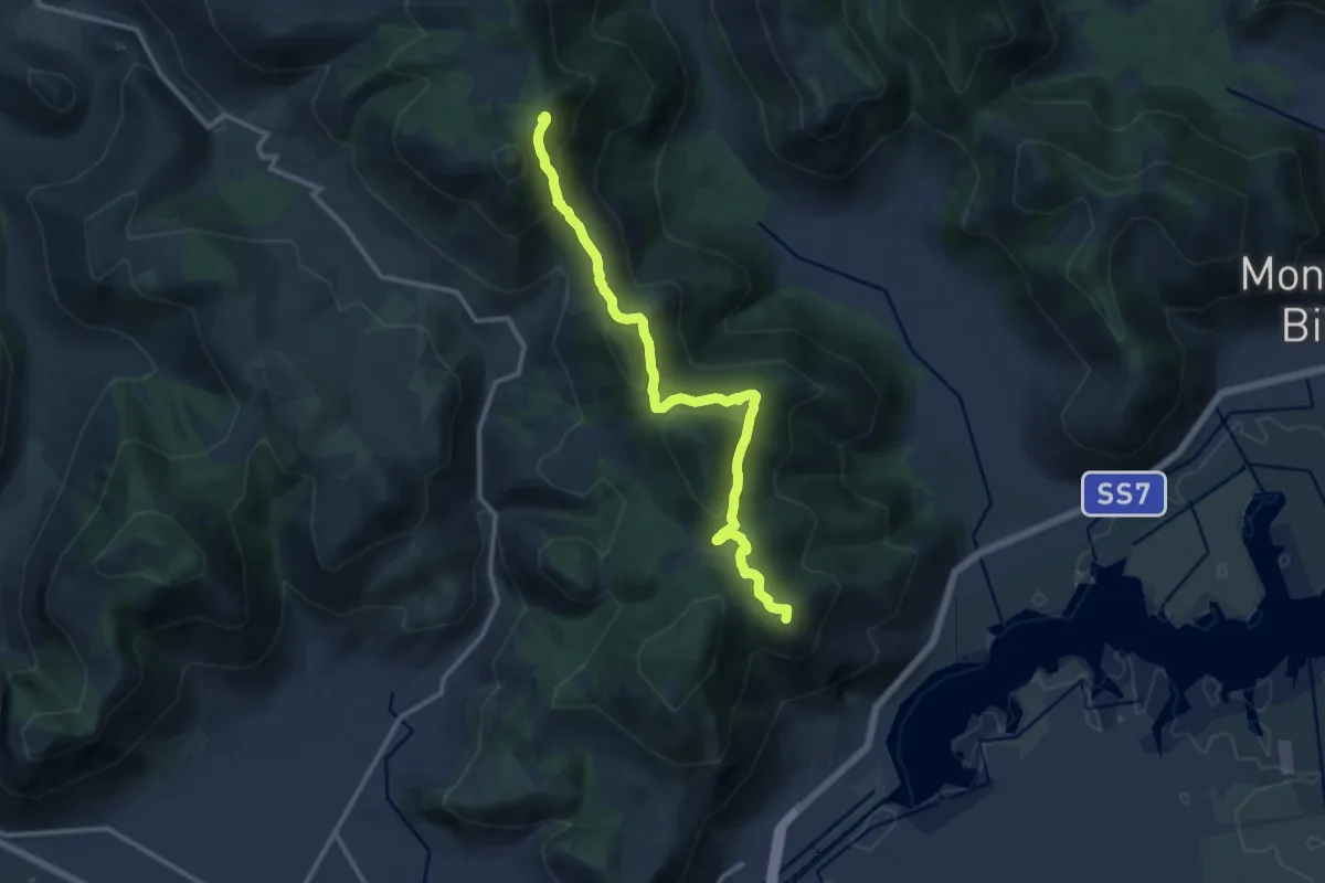
Medium · Summit
Via dei Cippi
14.0 km · ↑ 590 m · 4 h 35 min · 14 km away
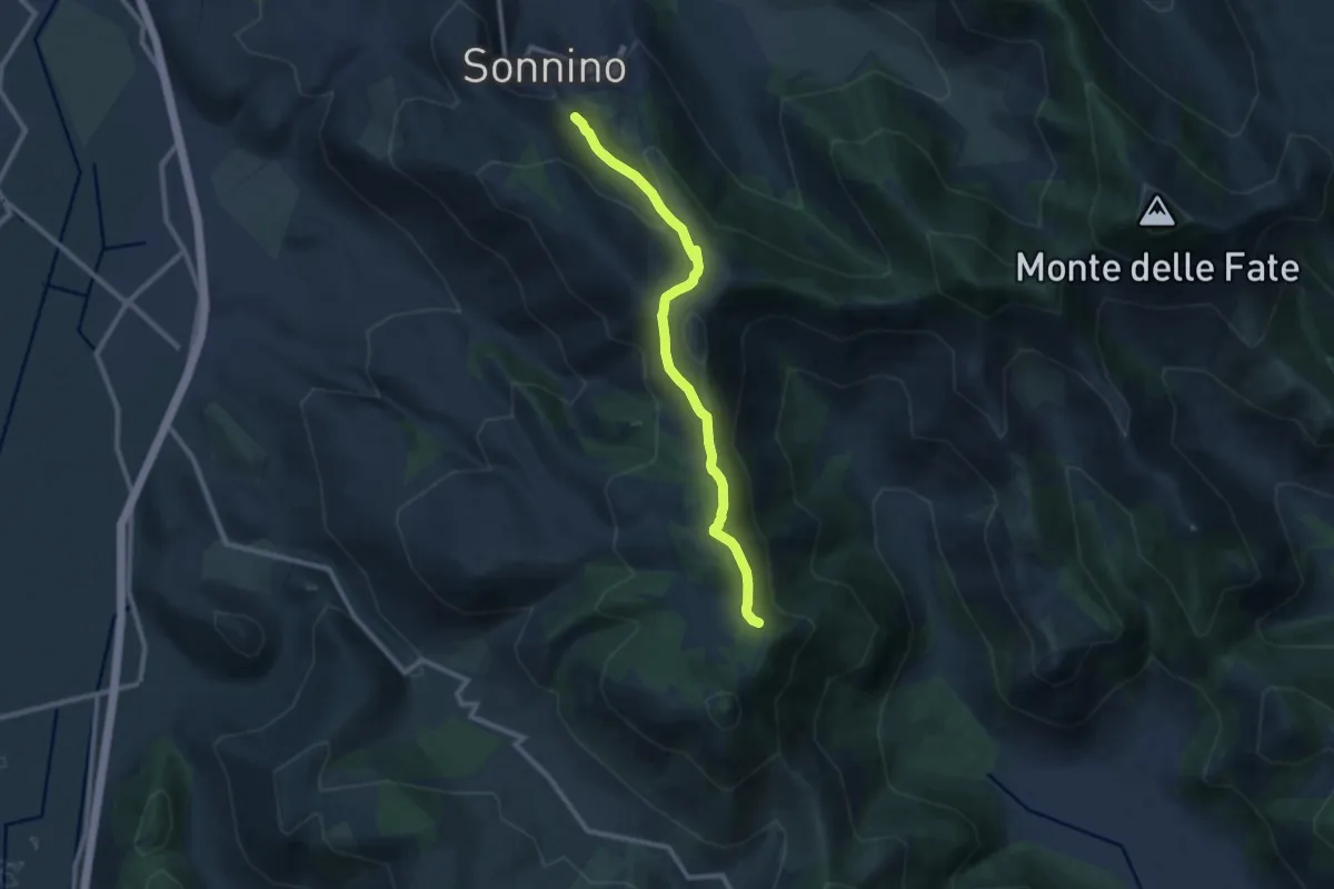
Medium · Trail
Sonnino Monte Romano
10.9 km · ↑ 575 m · 3 h 49 min · 14 km away
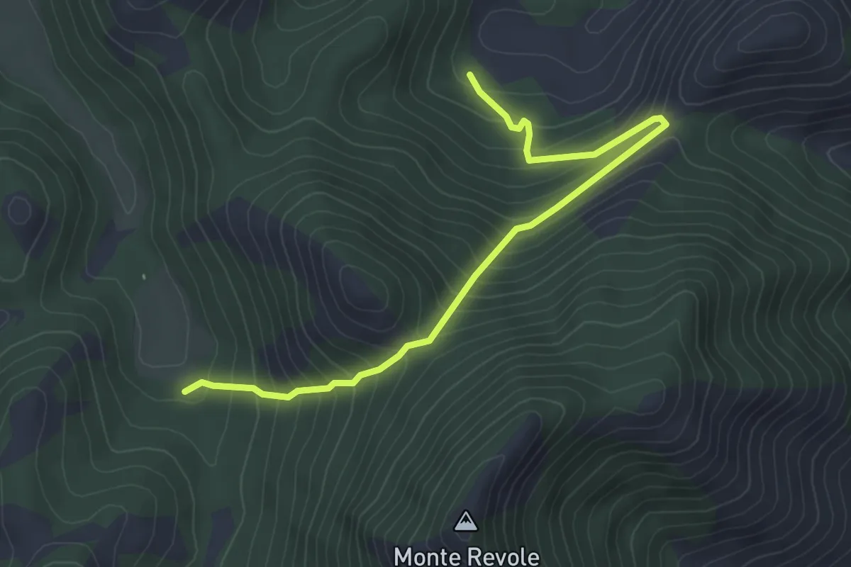
Medium · Trail
Cerretello-Valle Piana
5.2 km · ↑ 448 m · 2 h 12 min · 14 km away
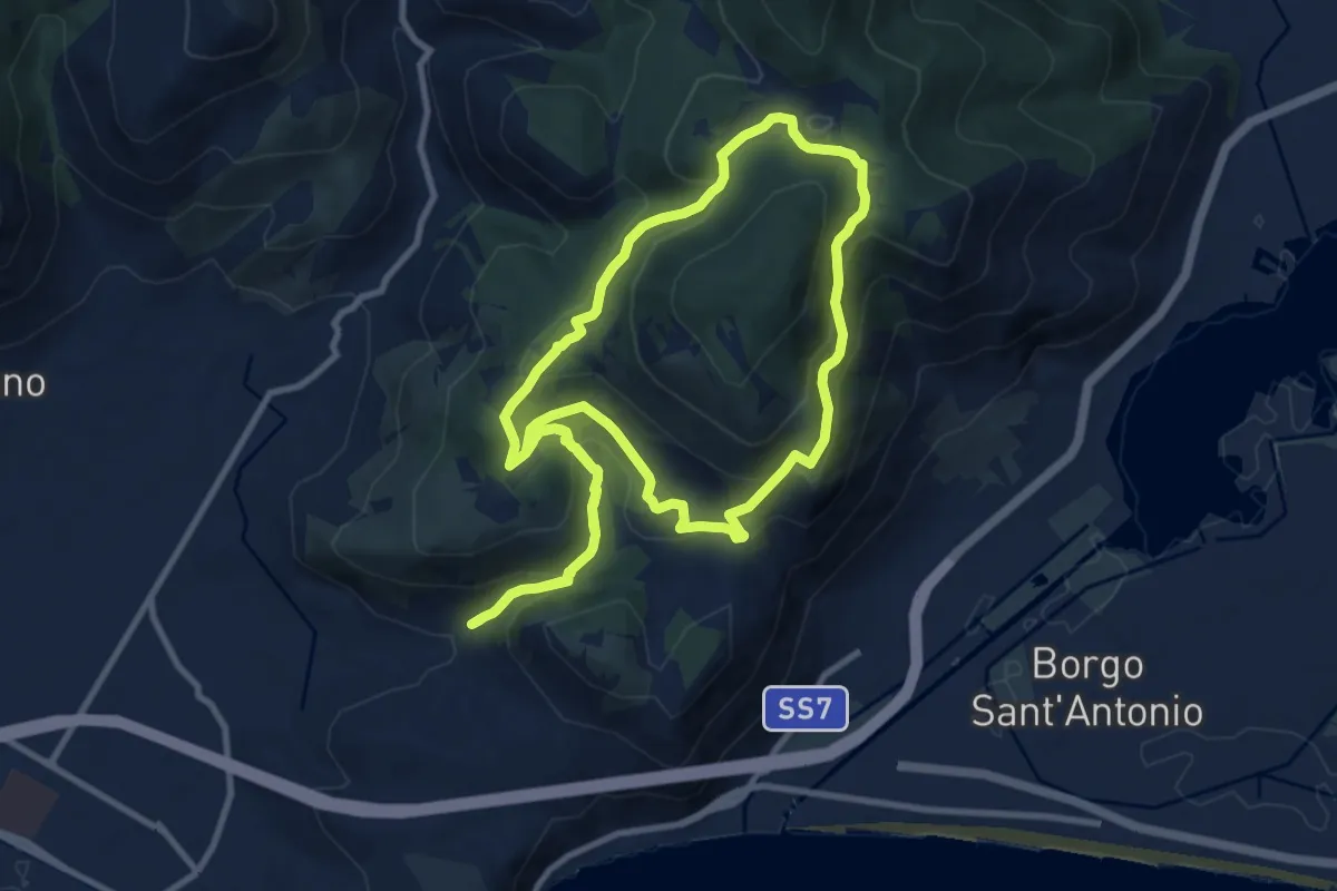
Medium · Trail
Sentiero Emilio Selvaggi
11.2 km · ↑ 526 m · 3 h 56 min · 15 km away
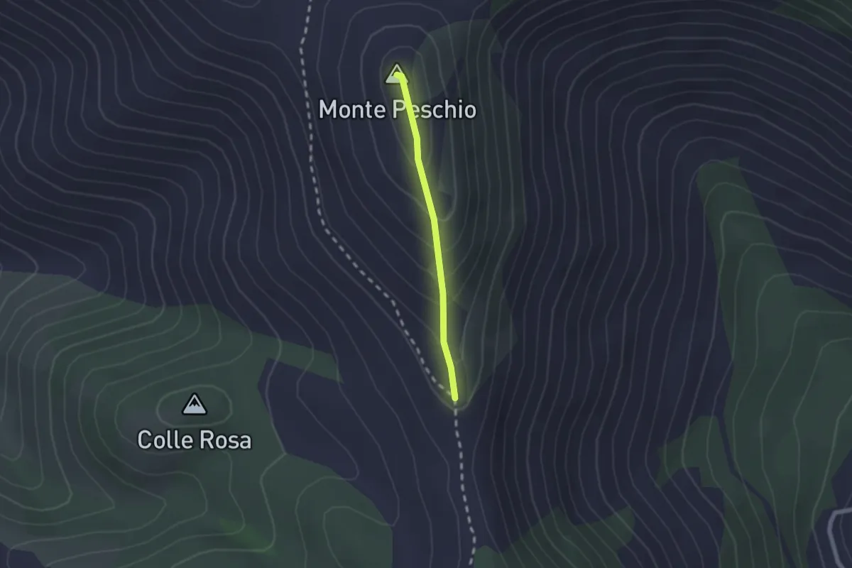
Easy · Summit
Via dei Cippi, tratta M. Peschio-M. Ceraso
1.7 km · ↑ 132 m · 41 min · 15 km away