Trails near Frosinone
20 hikes starting within 15 km, nearest first.
Nearest first
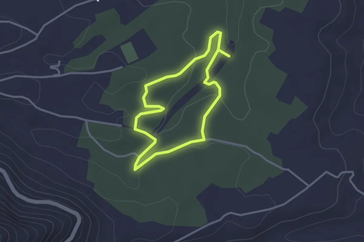
Easy · Trail
Sentiero della Valle
2.5 km · ↑ 44 m · 43 min · 9 km away
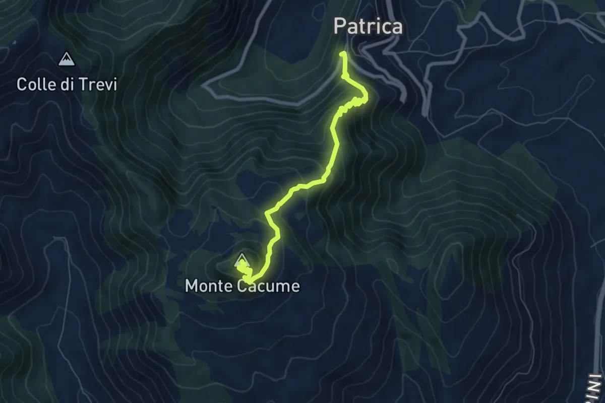
Medium · Summit
Patrica-Monte Cacume
7.1 km · ↑ 741 m · 3 h 17 min · 11 km away
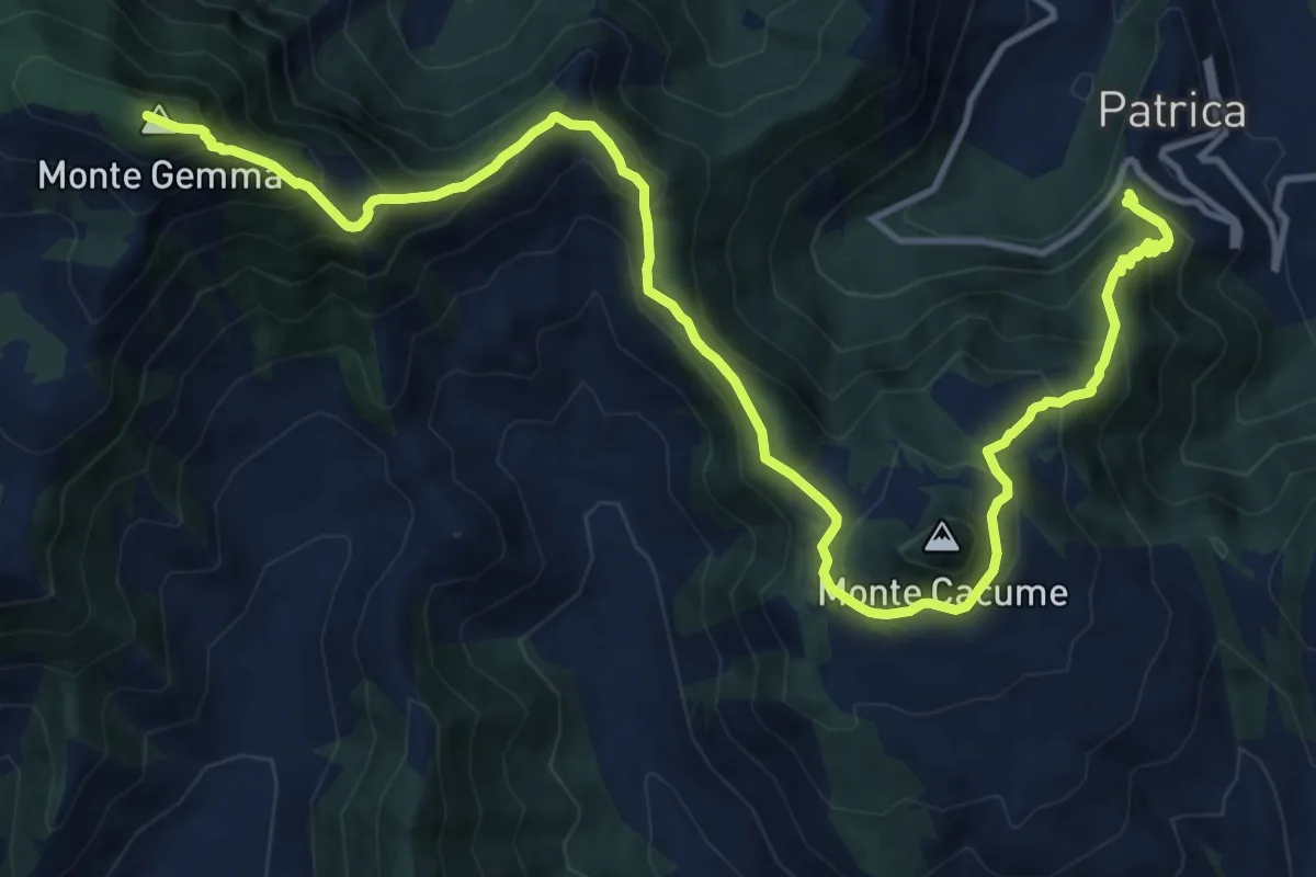
Demanding · Summit
AVLO
18.1 km · ↑ 1515 m · 7 h 34 min · 11 km away
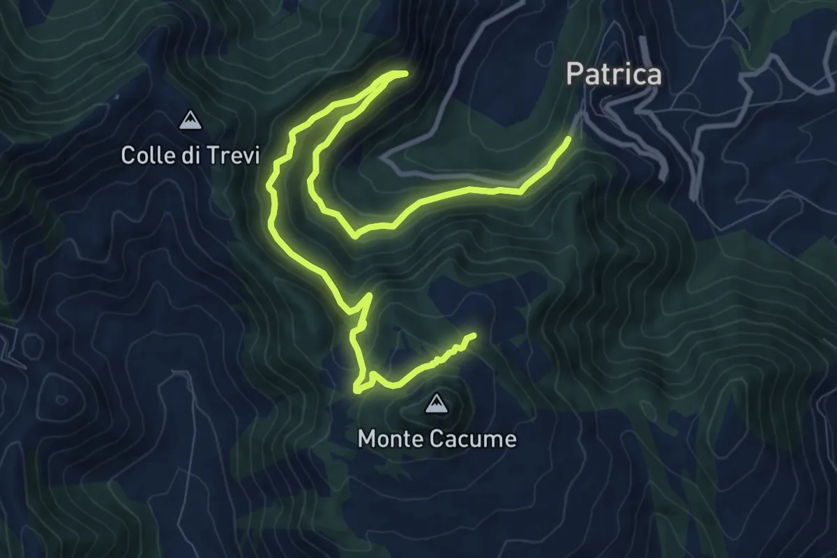
Demanding · Trail
Sentiero dell’Arciprete
14.0 km · ↑ 835 m · 5 h 7 min · 11 km away
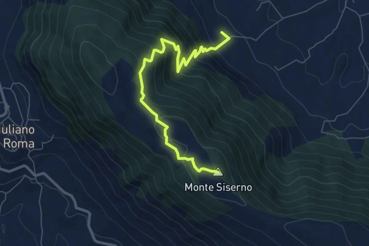
Medium · Summit
Fontana del Gatto - Monte Siserno
7.3 km · ↑ 588 m · 3 h · 11 km away
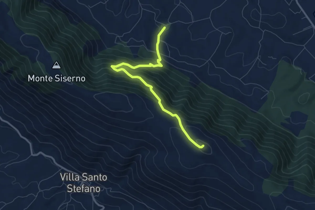
Medium · Summit
Sentiero della Croce
8.3 km · ↑ 639 m · 3 h 20 min · 11 km away
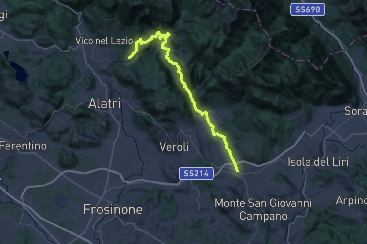
Demanding · Trail
Cammino di San Benedetto - Tappa 13
24.7 km · ↑ 1224 m · 8 h 41 min · 12 km away
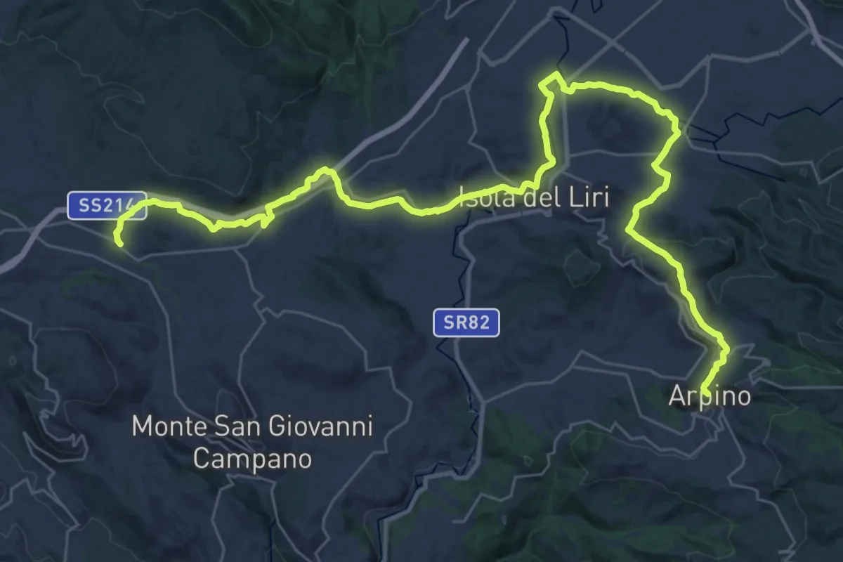
Demanding · Trail
Cammino di San Benedetto - Tappa 14
21.1 km · ↑ 458 m · 6 h 11 min · 12 km away
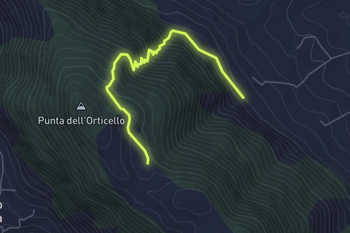
Medium · Trail
Sentiero dell'Arcaro
5.3 km · ↑ 456 m · 2 h 15 min · 12 km away
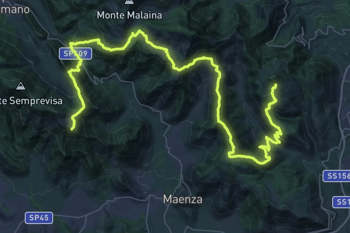
Demanding · Summit
Alta Via della Fenice
57.5 km · ↑ 3426 m · 21 h · 13 km away
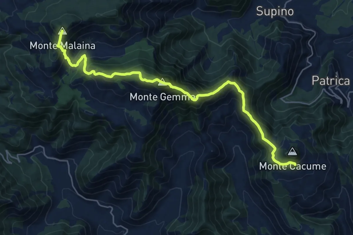
Demanding · Summit
Alta Via della Fenice
21.6 km · ↑ 1700 m · 8 h 46 min · 13 km away
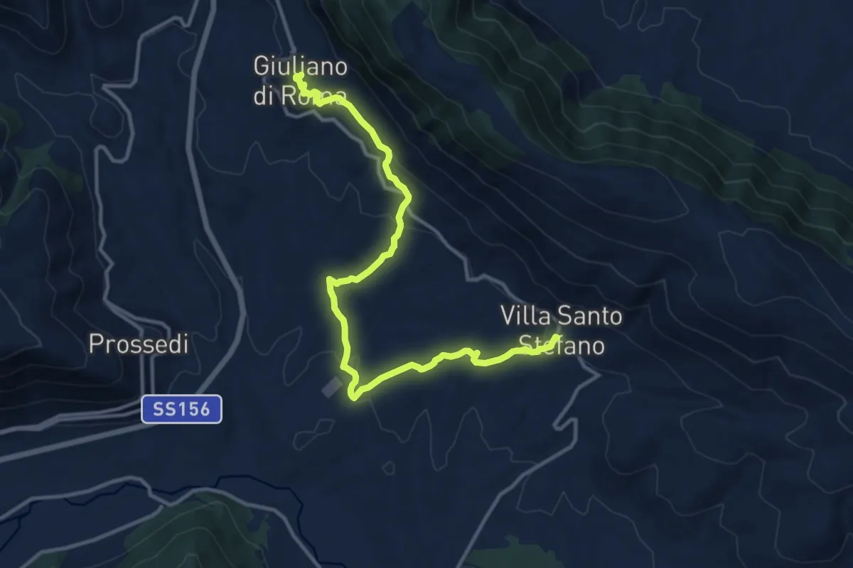
Medium · Trail
Cammino della Regina Camilla - Tappa 6
14.1 km · ↑ 430 m · 4 h 16 min · 13 km away
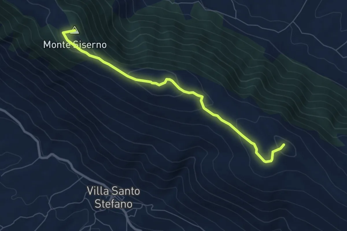
Easy · Summit
Monte Siserno - Punta la Lenza
7.5 km · ↑ 282 m · 2 h 23 min · 13 km away
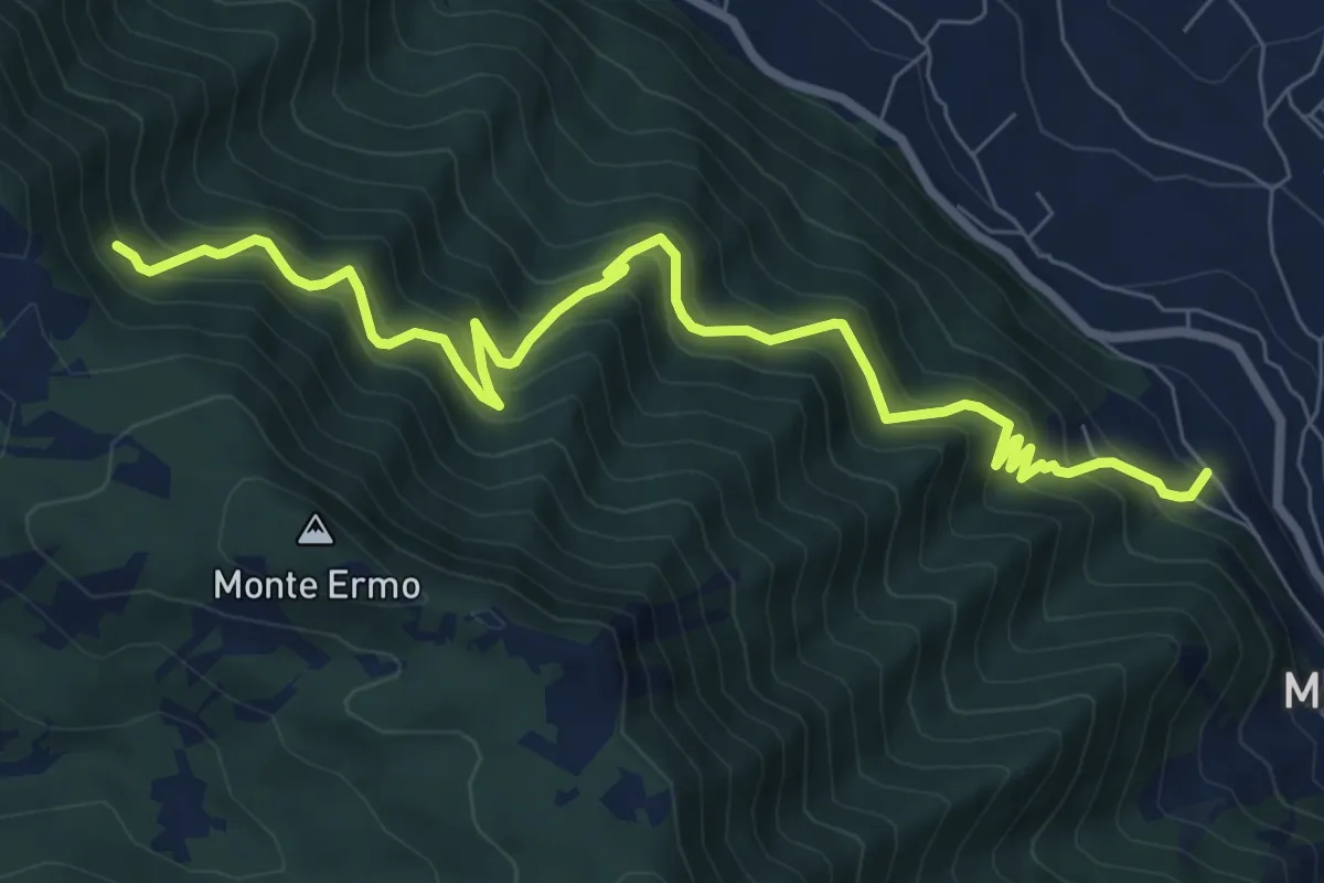
Demanding · Trail
Sentiero delle 6 Valli
9.8 km · ↑ 1045 m · 4 h 34 min · 13 km away
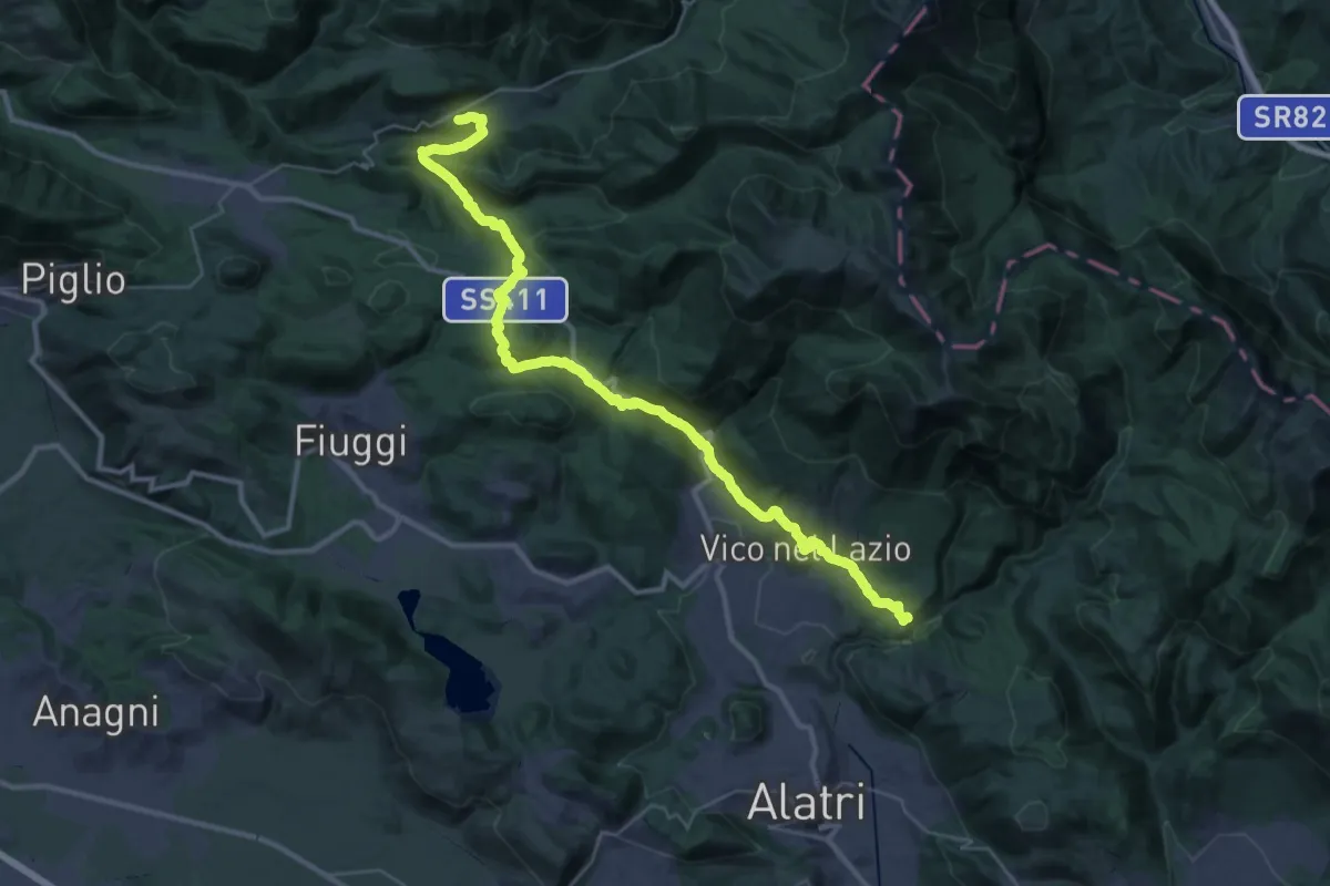
Demanding · Trail
Cammino di San Benedetto - Tappa 12
21.7 km · ↑ 891 m · 7 h 15 min · 14 km away
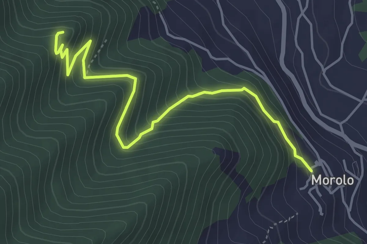
Medium · Trail
Sentiero La Torre
4.8 km · ↑ 422 m · 2 h 3 min · 14 km away
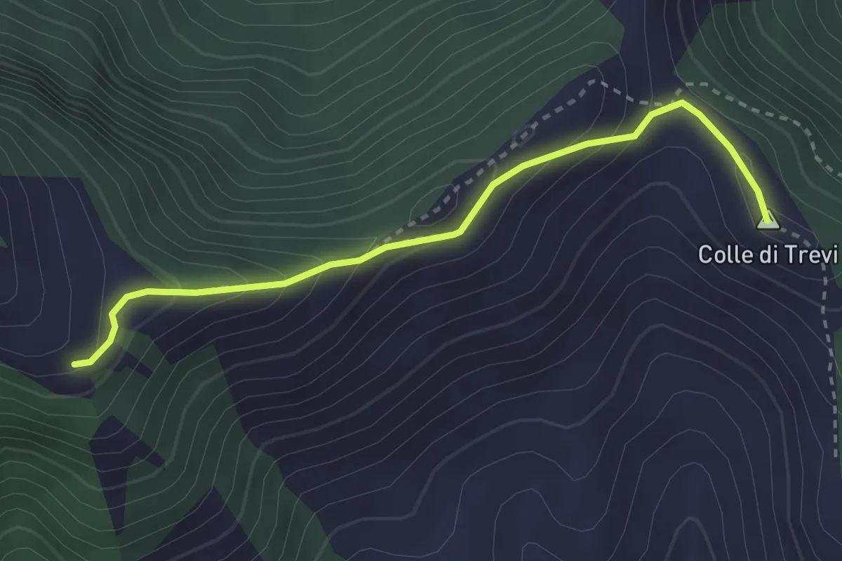
Medium · Summit
Percorso 725 – Prati di Mastro Marco
3.2 km · ↑ 241 m · 1 h 17 min · 14 km away
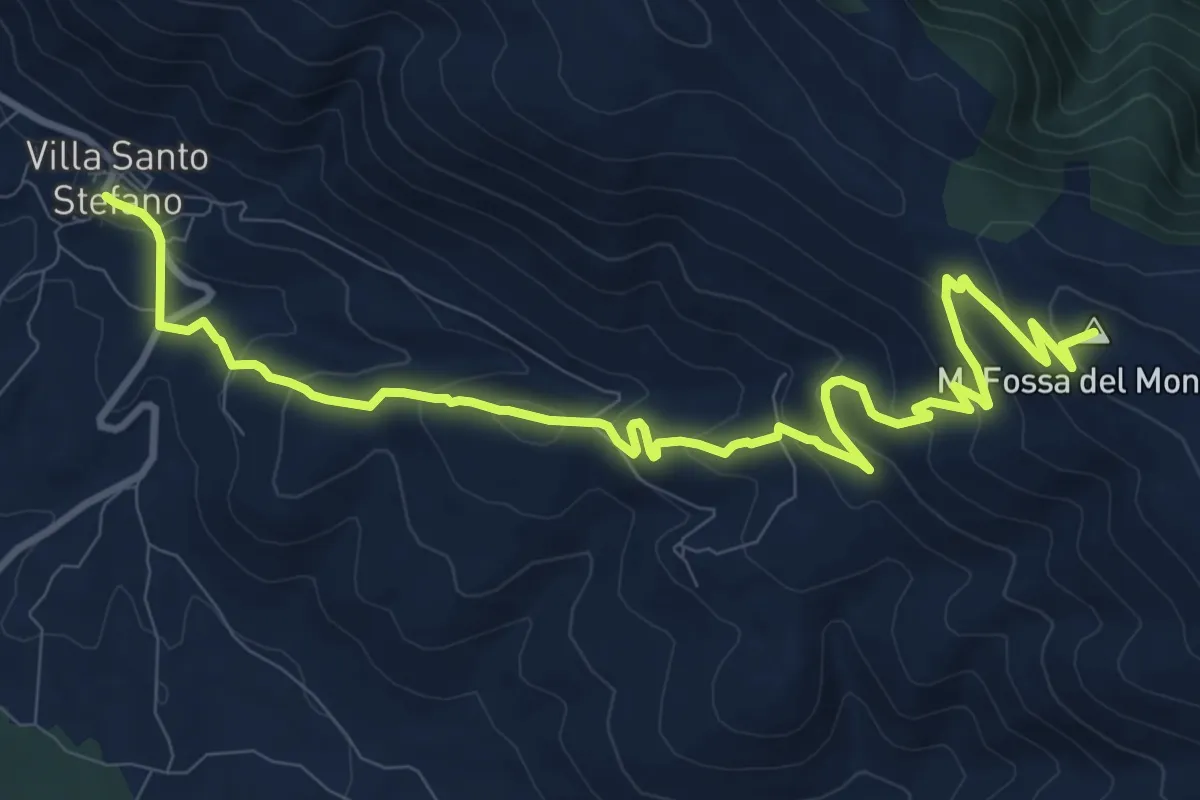
Medium · Summit
Cammino della Regina Camilla - Tappa 7
14.1 km · ↑ 679 m · 4 h 48 min · 14 km away
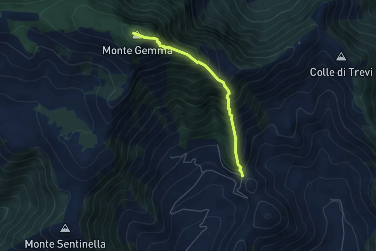
Medium · Summit
Prossimità Chiesetta di S. Luca – Monte Gemma
4.6 km · ↑ 726 m · 2 h 39 min · 14 km away
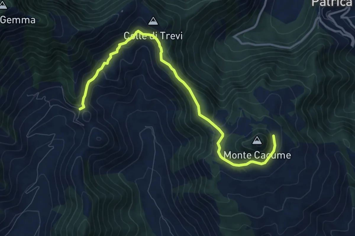
Medium · Trail
Valico Valle di Monte Acuto
10.4 km · ↑ 454 m · 3 h 26 min · 14 km away