Trails near Garbagnate Milanese
28 hikes starting within 15 km, nearest first.
Nearest first
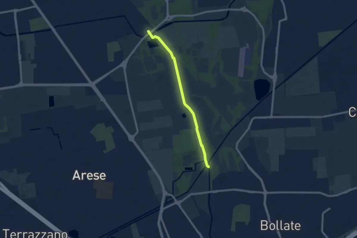
Easy · Trail
Sentiero delle sette cascate
5.0 km · ↑ 17 m · 1 h 13 min · 1 km away
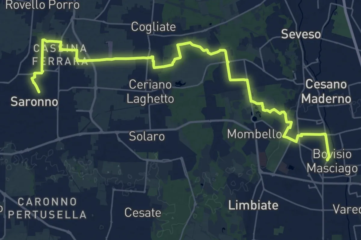
Demanding · Trail
Cammino Montiano
30.9 km · ↑ 93 m · 7 h 30 min · 6 km away
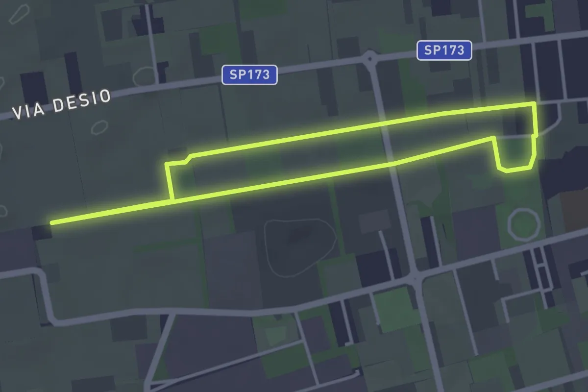
Easy · Trail
Bertacciola
3.4 km · ↑ 9 m · 52 min · 9 km away
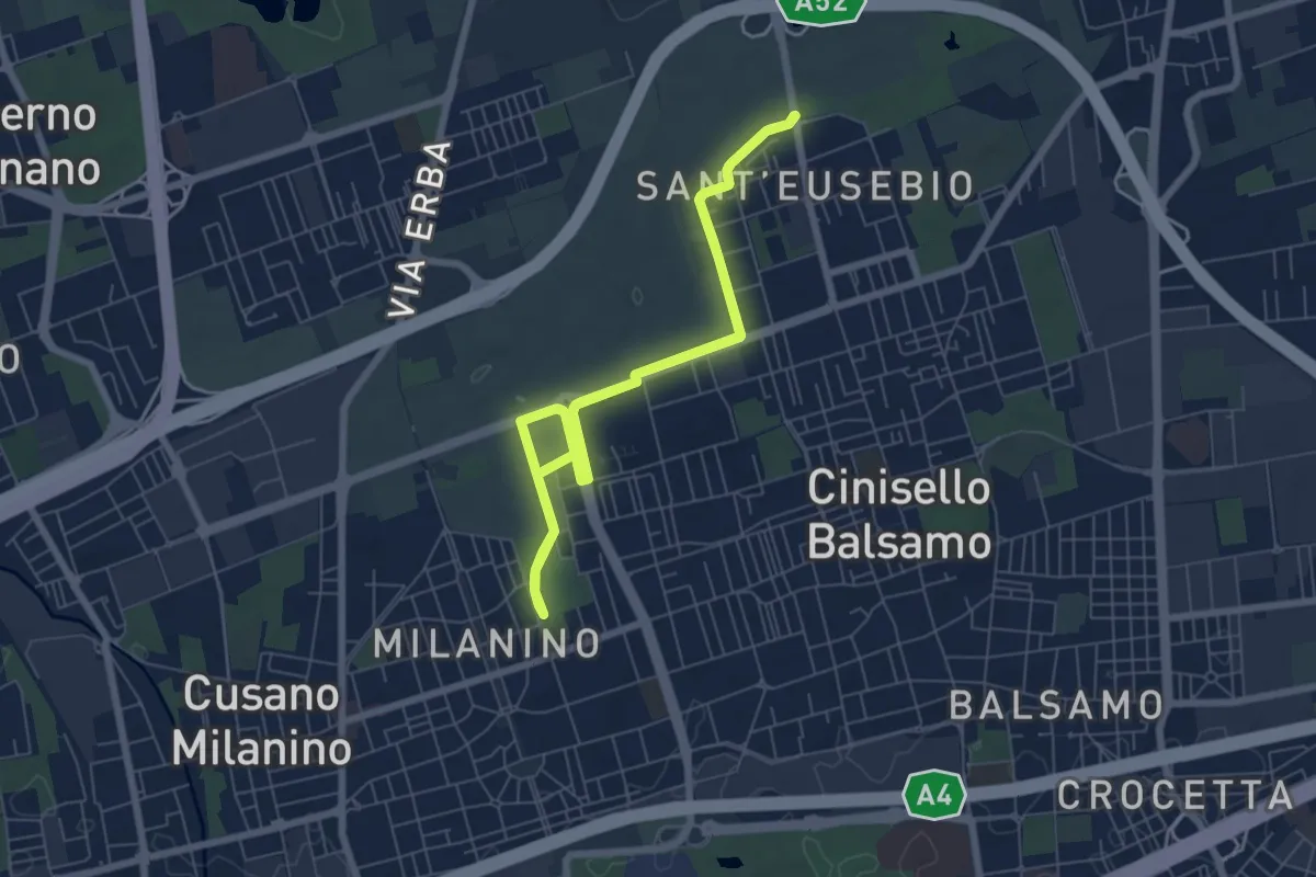
Medium · Trail
Ippocastani . Sant'Eusebio
14.8 km · ↑ 22 m · 3 h 33 min · 9 km away
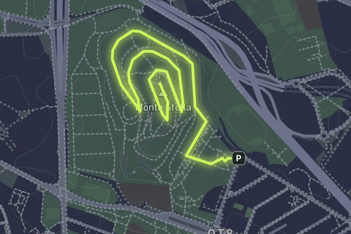
Easy · Summit
Sentiero Monte Stella
4.4 km · ↑ 27 m · 1 h 6 min · 11 km away
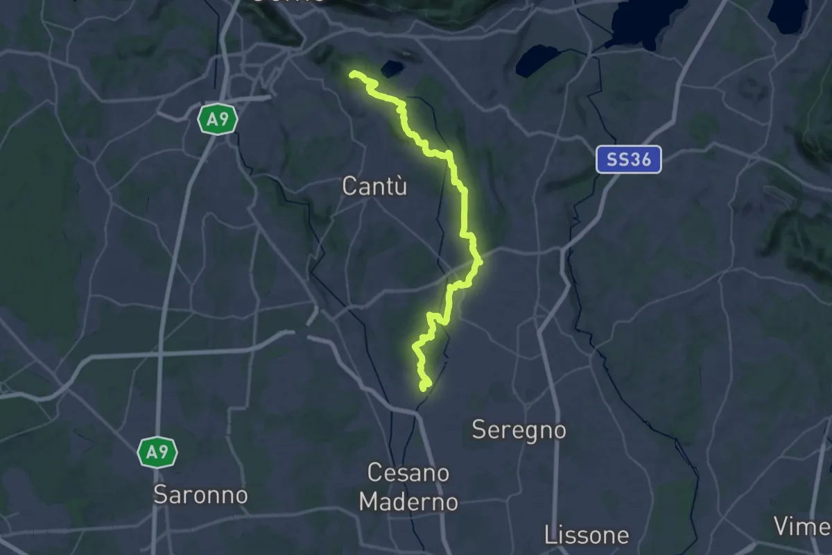
Demanding · Summit
Sentiero ME-MO
42.1 km · ↑ 520 m · 11 h 4 min · 11 km away
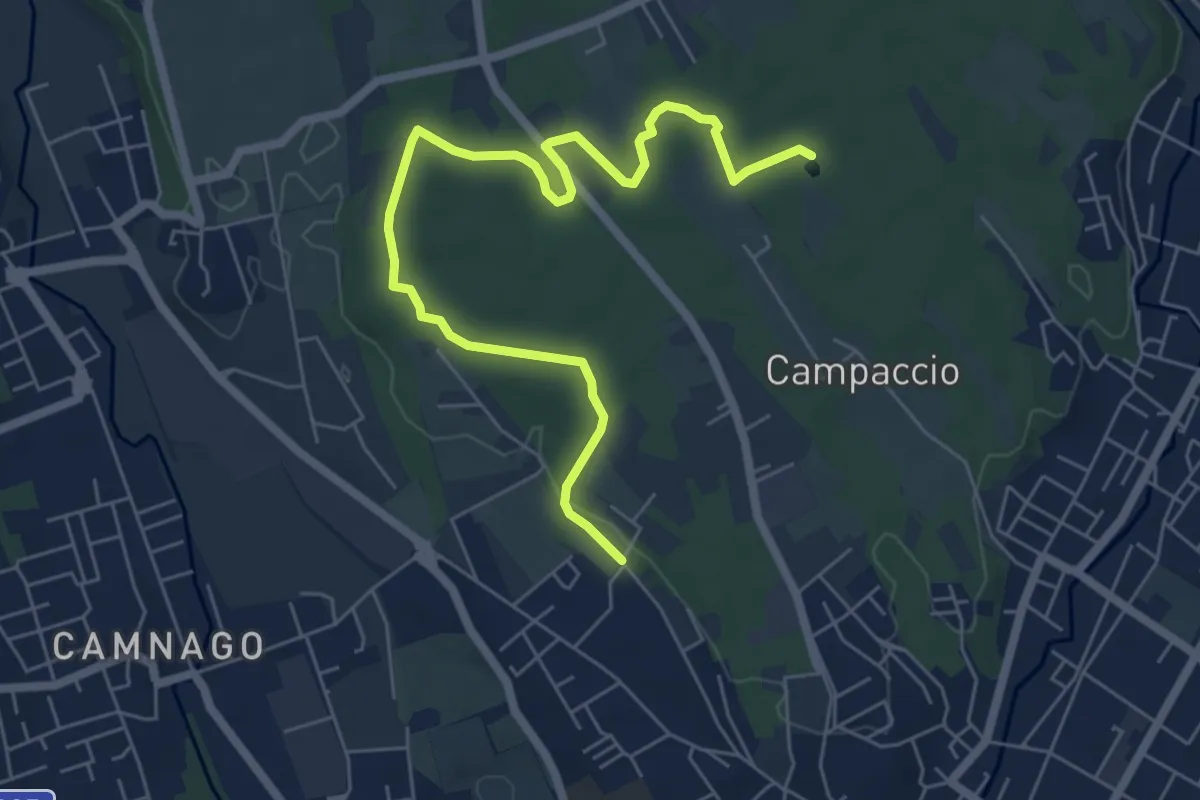
Easy · Trail
Cascina Colombera – Zoca dei Pirutit
7.2 km · ↑ 31 m · 1 h 46 min · 12 km away
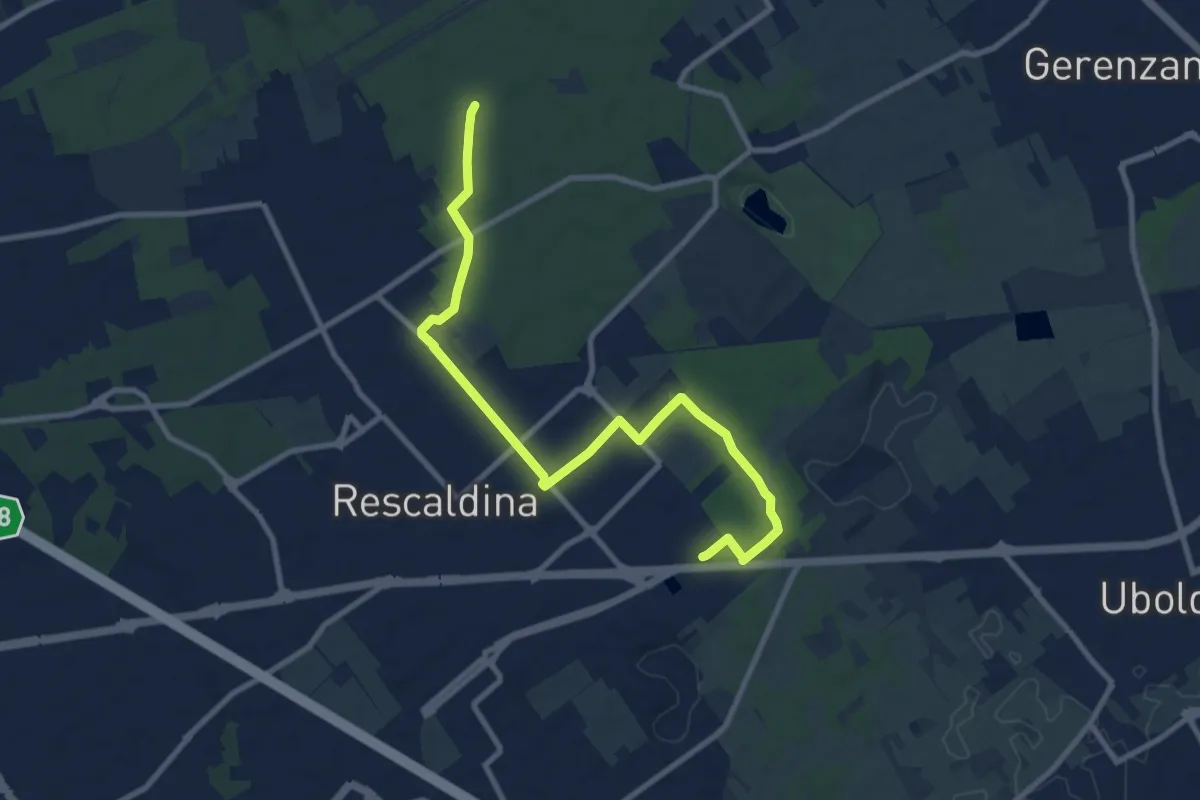
Medium · Trail
Collegamento Rescaldina
10.8 km · ↑ 41 m · 2 h 38 min · 12 km away
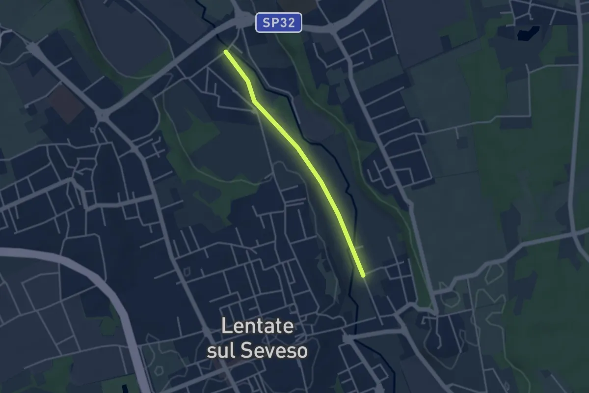
Easy · Trail
Lentate sul Seveso – Carimate
3.1 km · ↑ 9 m · 45 min · 12 km away
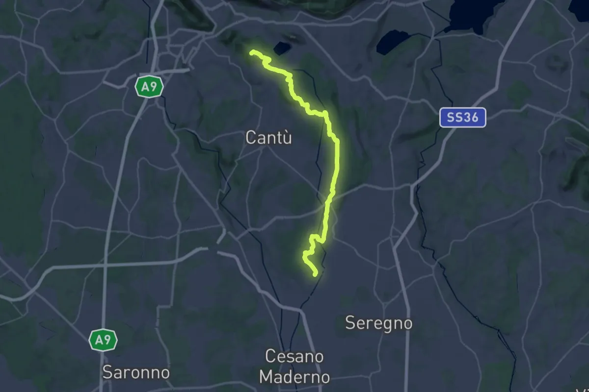
Demanding · Summit
Sentiero ME-MO Storico
36.3 km · ↑ 471 m · 9 h 35 min · 12 km away
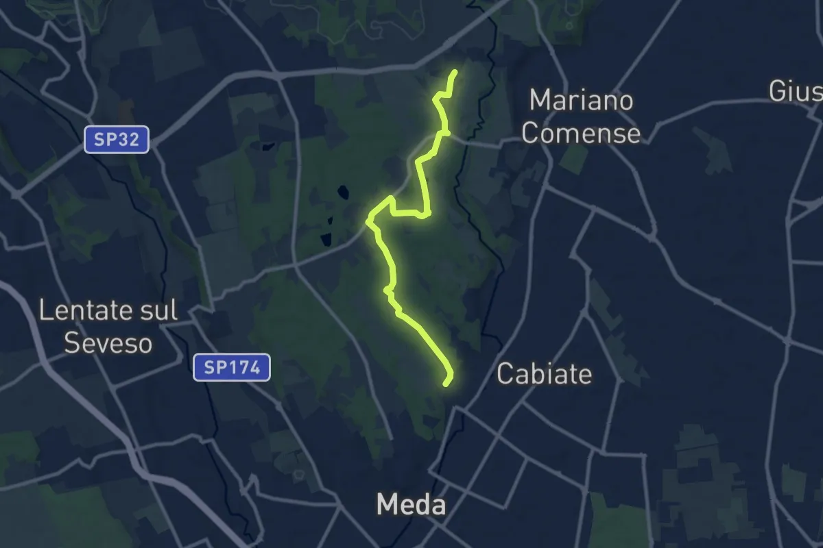
Medium · Trail
Meda (Pian delle Monache) – Cascina Castel Marino
9.2 km · ↑ 59 m · 2 h 18 min · 12 km away
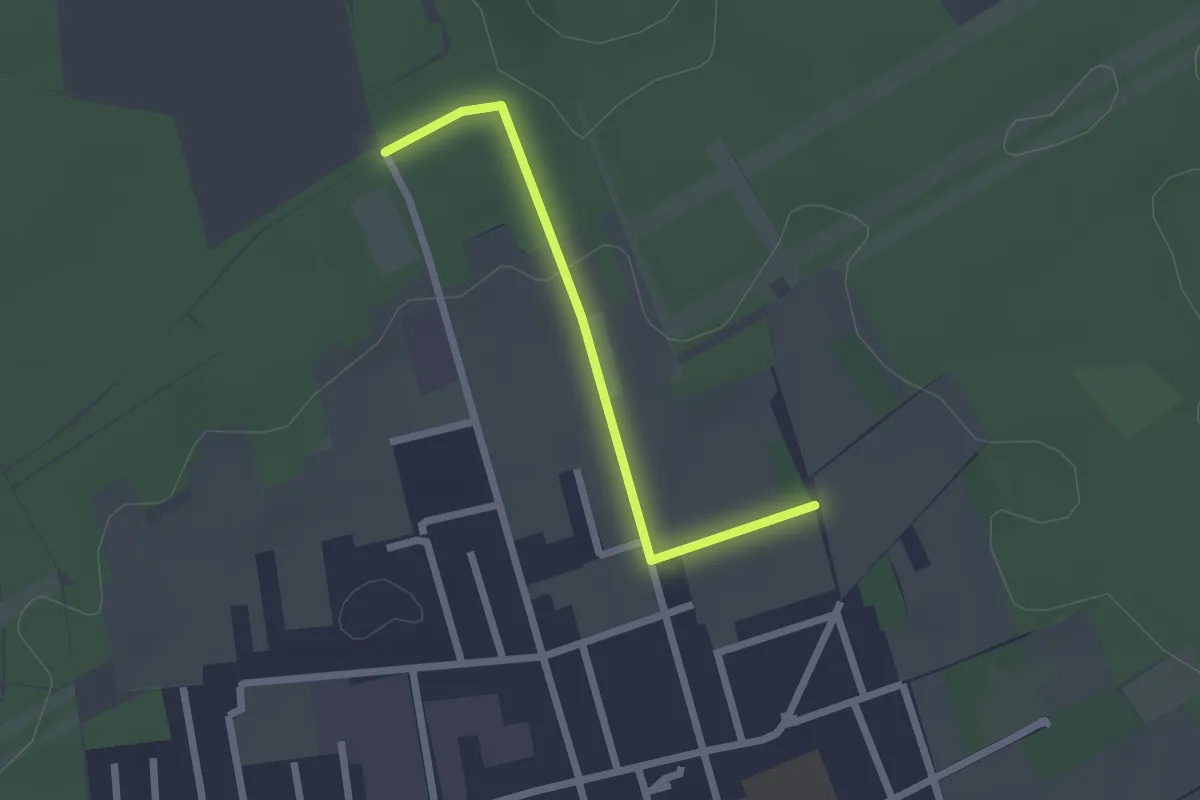
Easy · Trail
Collegamento C - BDR
2.0 km · ↑ 14 m · 31 min · 12 km away
Medium · Trail
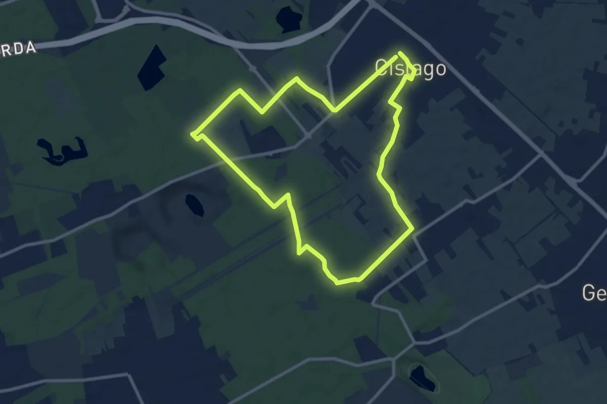
Anello Cislago
8.3 km · ↑ 25 m · 2 h 8 min · 13 km away
Medium · Trail
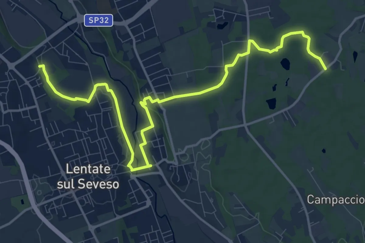
Copreno – Boscaccio
13.4 km · ↑ 150 m · 3 h 29 min · 13 km away
Easy · Trail
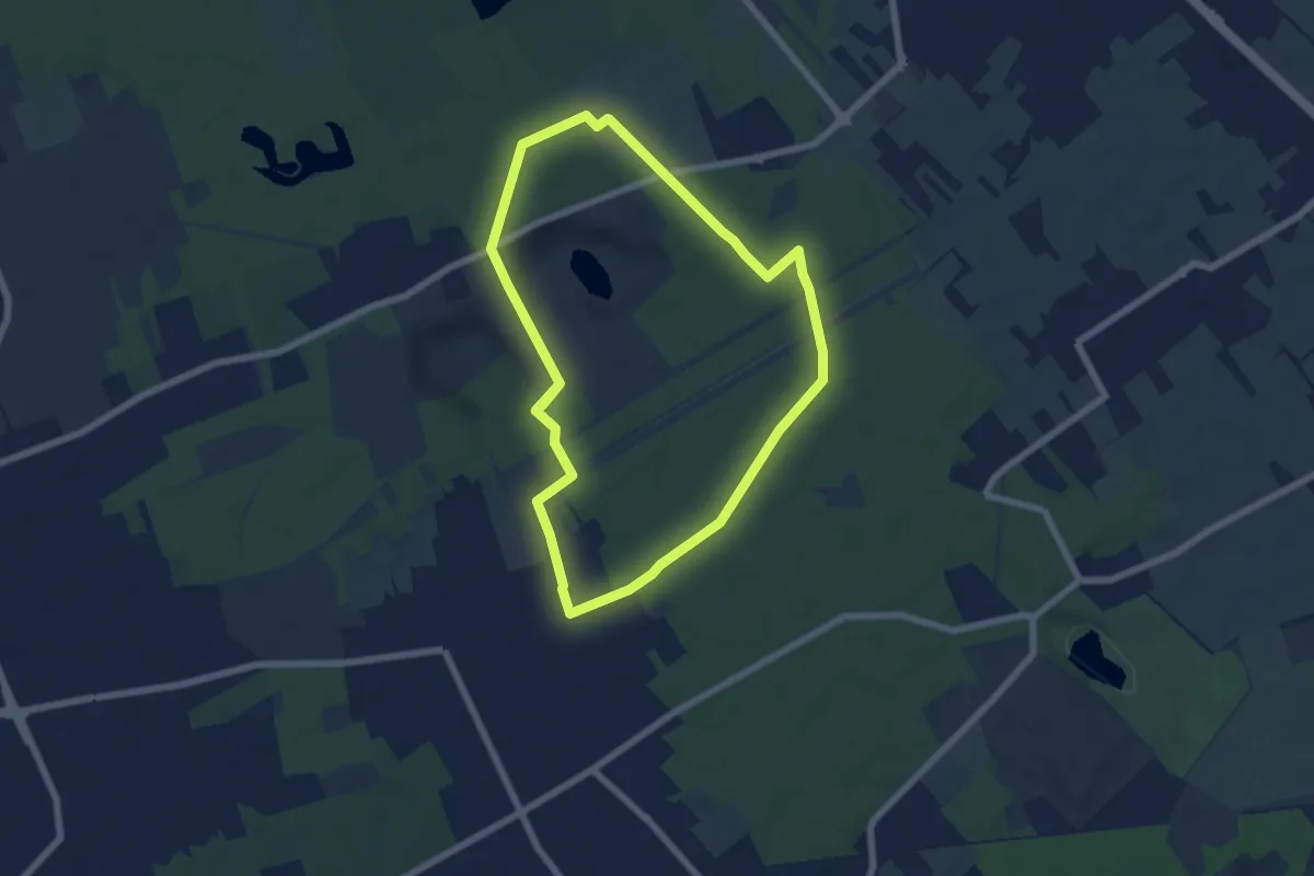
Anello di Rescaldina
6.8 km · ↑ 35 m · 1 h 47 min · 13 km away
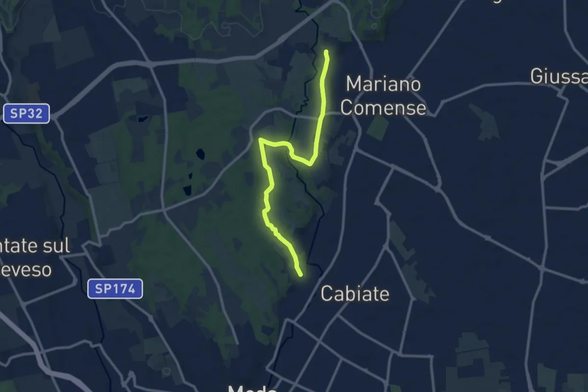
Easy · Trail
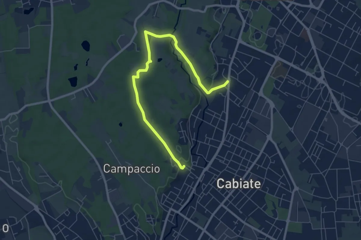
Cabiate – Mariano Comense (depuratore)
7.6 km · ↑ 70 m · 1 h 56 min · 13 km away
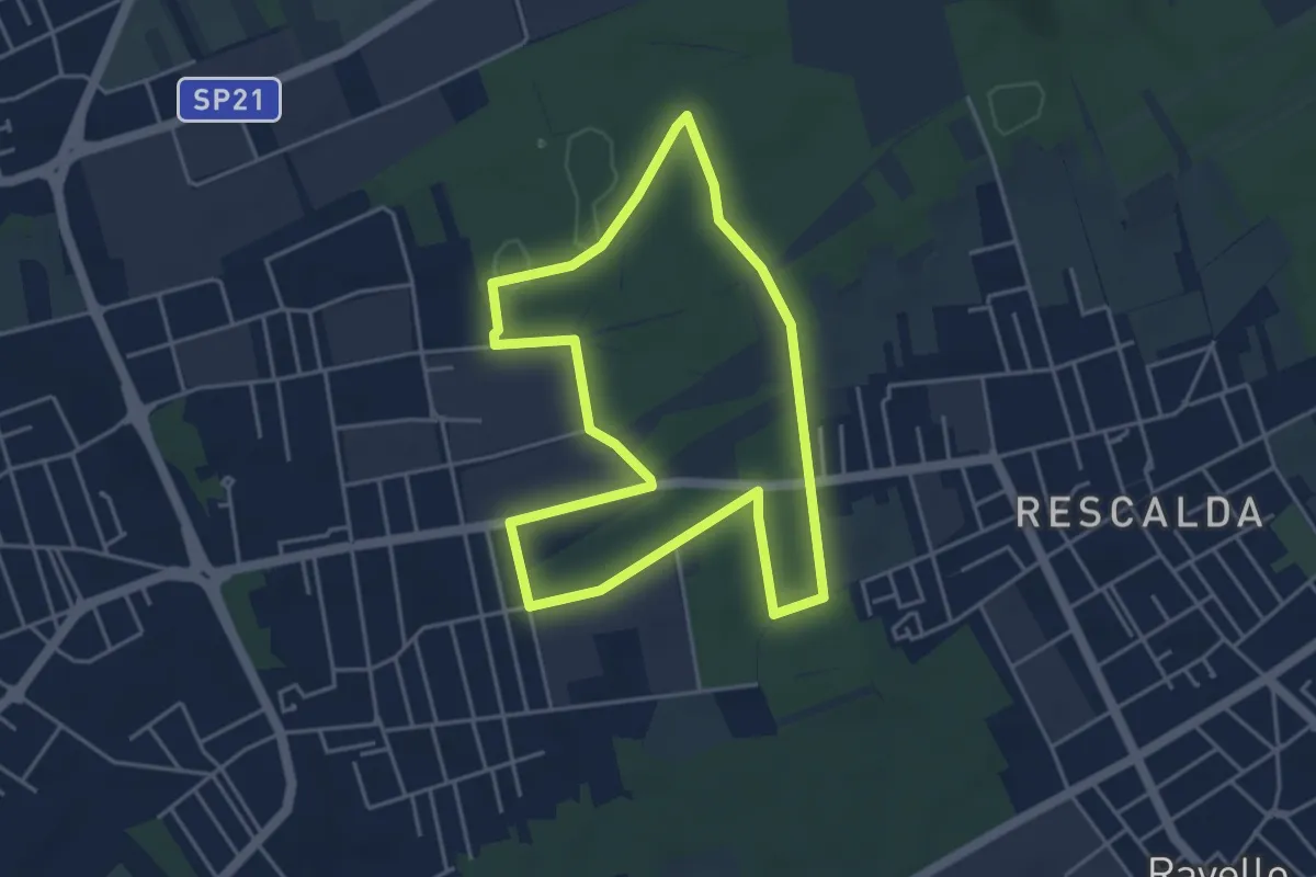
Medium · Trail
Cabiate – Mariano Comense
8.6 km · ↑ 62 m · 2 h 10 min · 13 km away
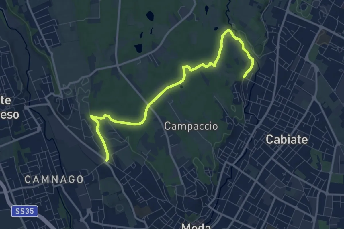
Easy · Trail
Anello di Marnate
4.3 km · ↑ 13 m · 1 h 6 min · 13 km away
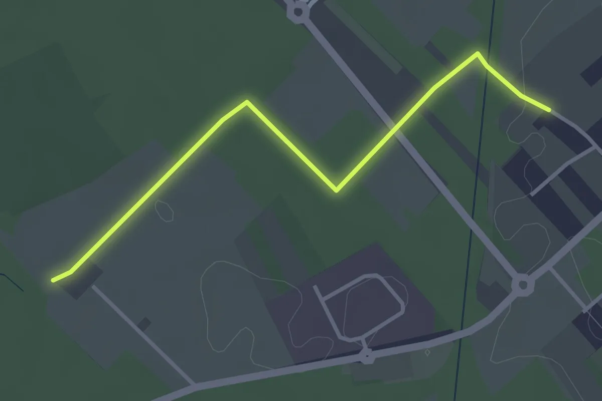
Medium · Trail
Camnago – Cabiate
9.3 km · ↑ 80 m · 2 h 22 min · 13 km away
Easy · Trail
Cislago - Rescaldina
3.3 km · ↑ 15 m · 49 min · 13 km away
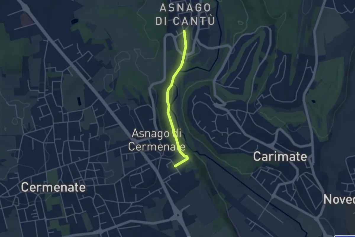
Easy · Trail
Asnago di Cantù – Asnago di Cermenate
3.2 km · ↑ 75 m · 55 min · 14 km away
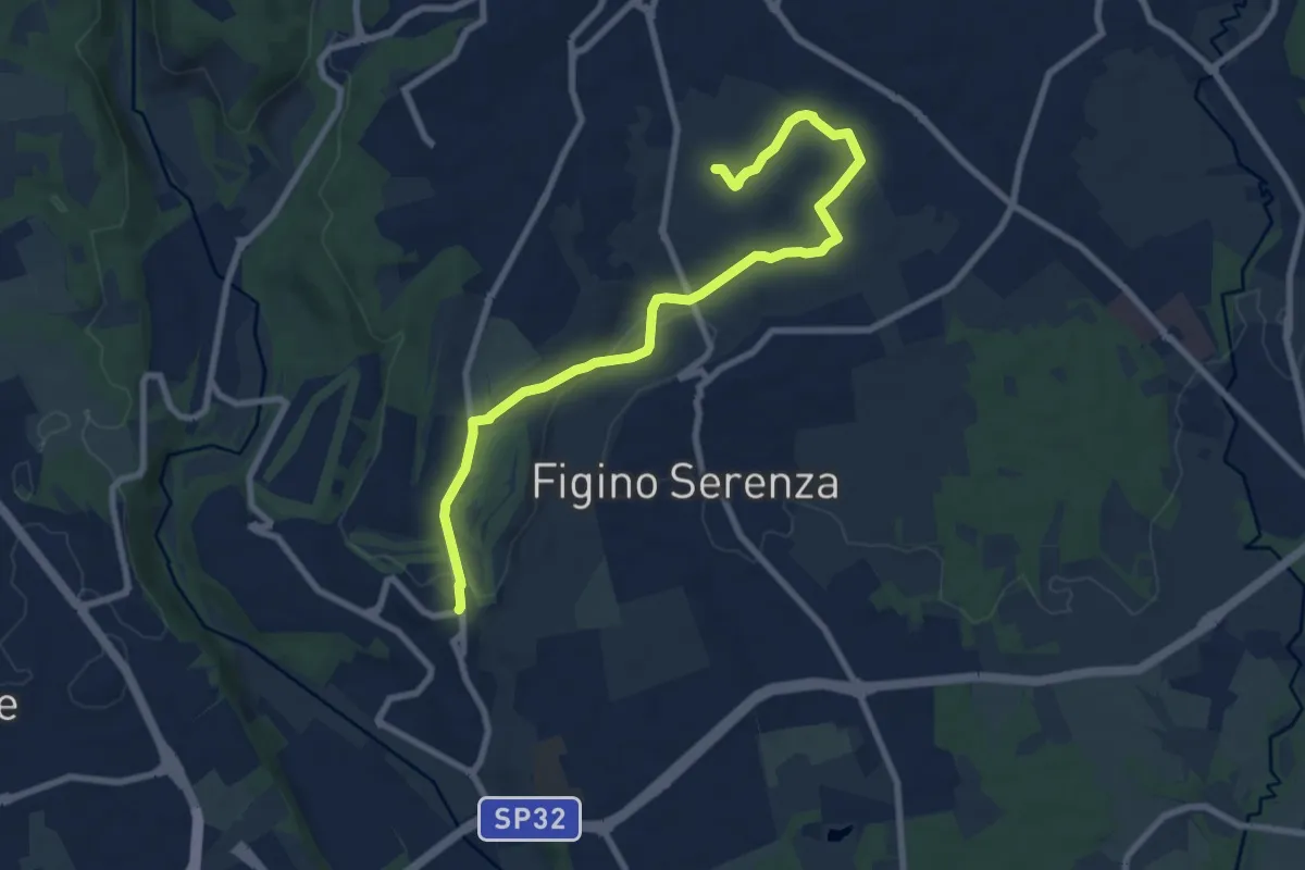
Medium · Trail
Carimate – Cascina Moia
9.3 km · ↑ 103 m · 2 h 25 min · 14 km away
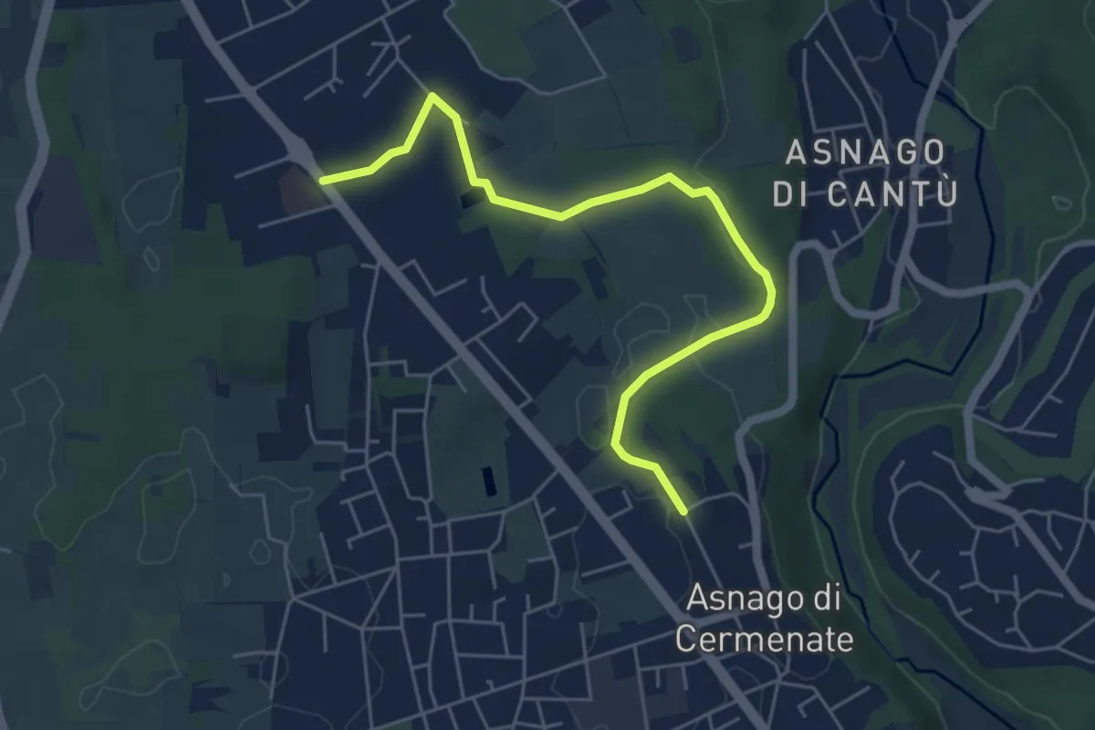
Easy · Trail
Cermenate – Minoprio
5.7 km · ↑ 27 m · 1 h 24 min · 14 km away
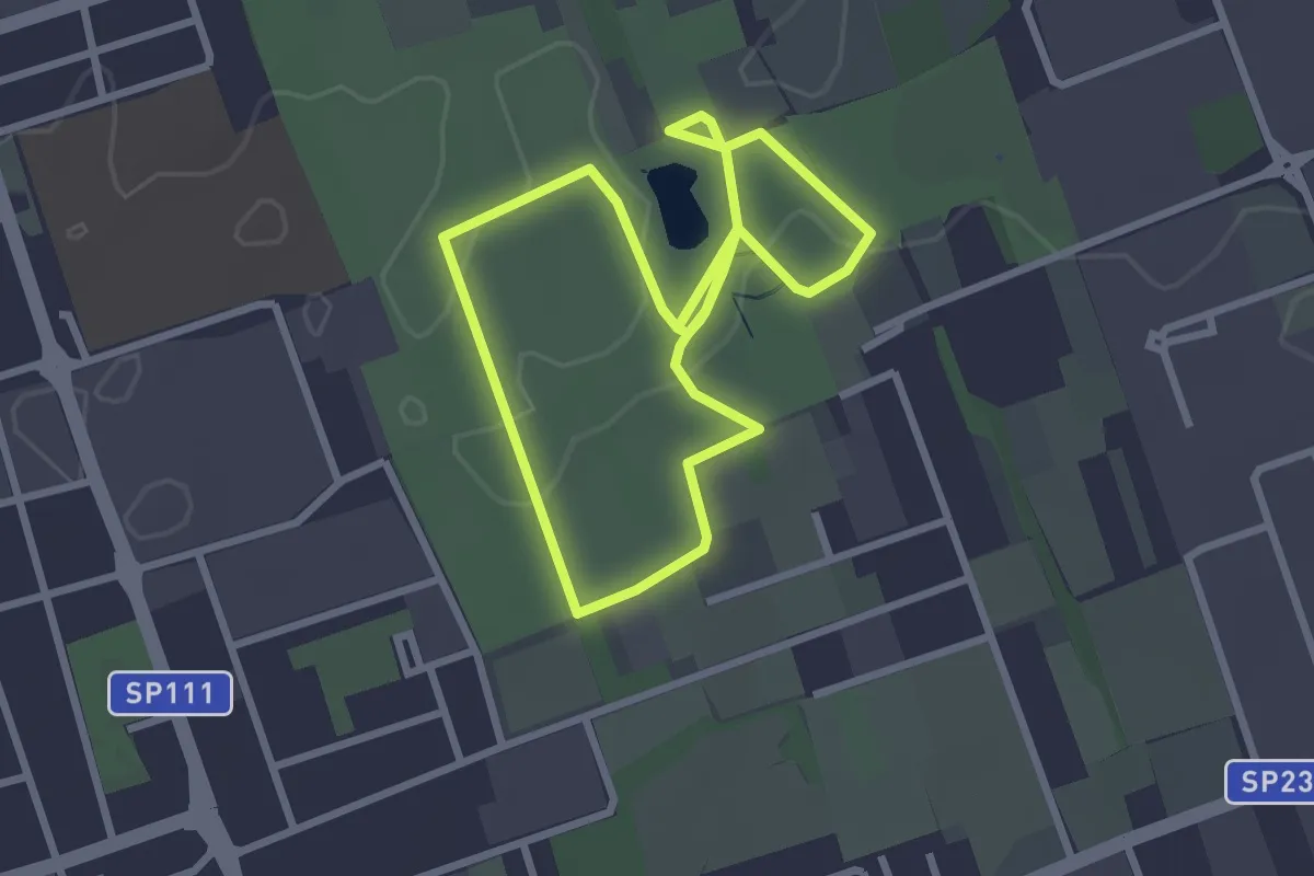
Easy · Trail
Bosco Urbano
2.7 km · ↑ 8 m · 41 min · 15 km away
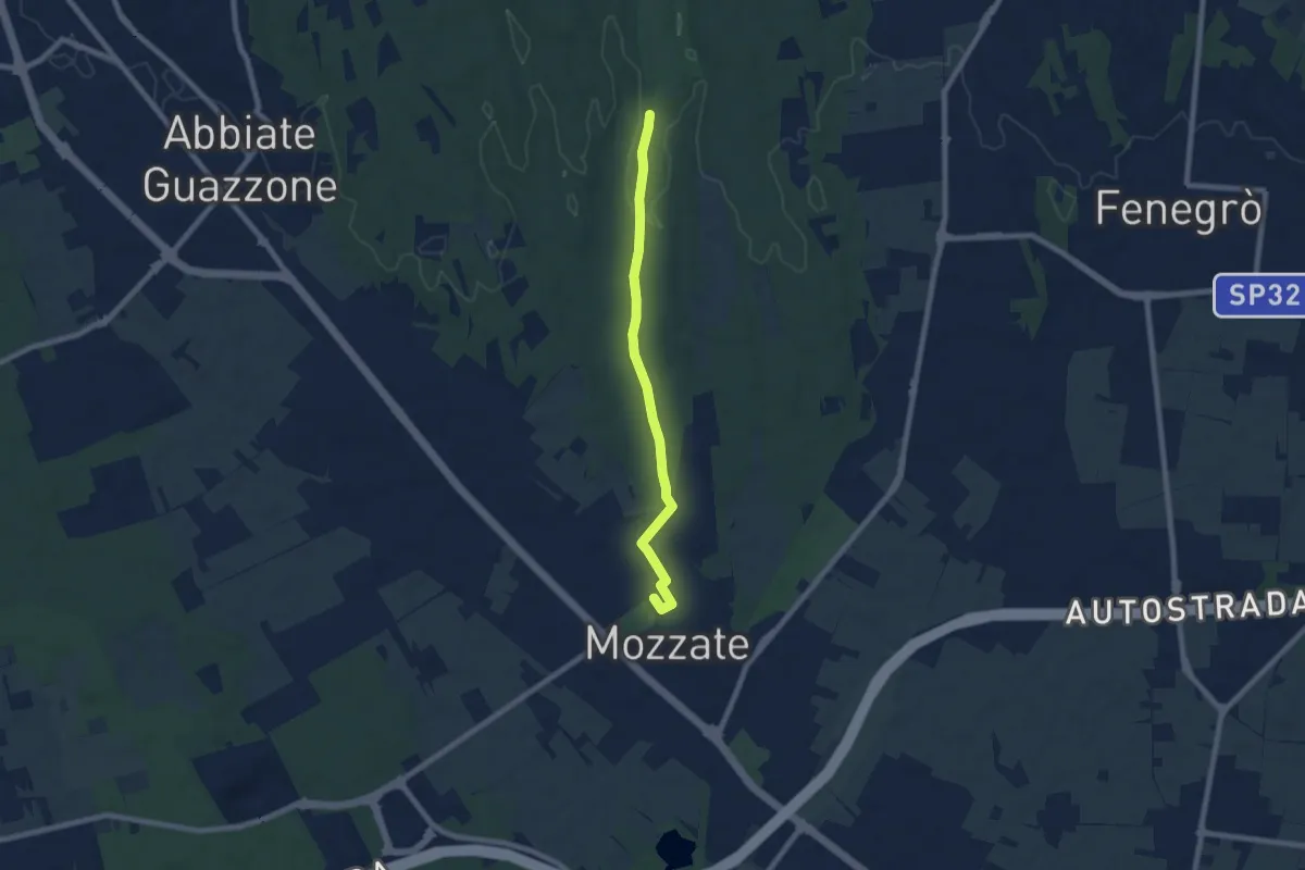
Easy · Trail
Sentiero 844B
7.1 km · ↑ 43 m · 1 h 47 min · 15 km away
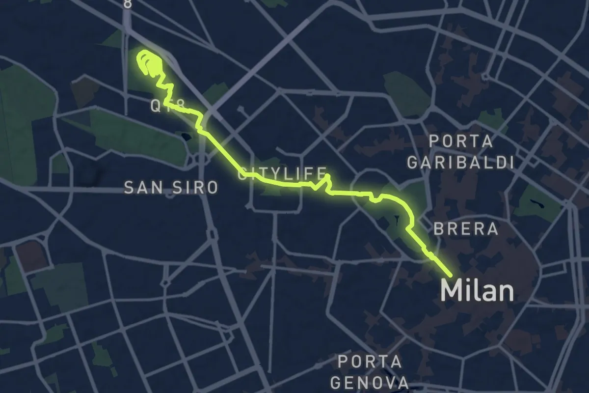
Medium · Summit
MilanoInCima
16.0 km · ↑ 76 m · 3 h 57 min · 15 km away
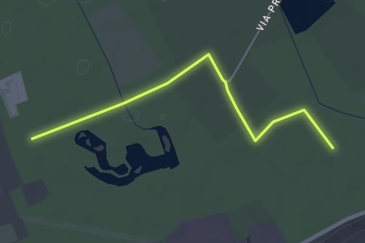
Easy · Trail
Collegamento Gorla Minore - Cislago
3.9 km · ↑ 0 m · 55 min · 15 km away
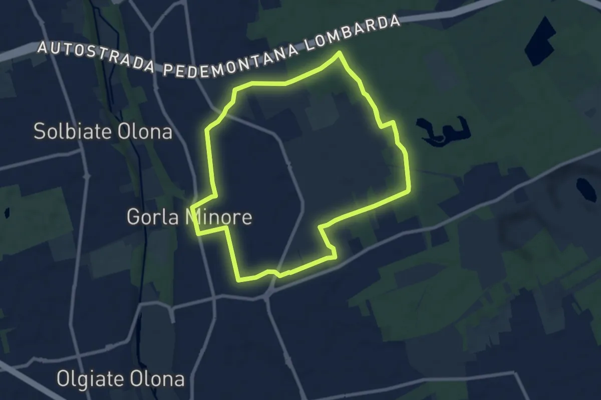
Easy · Trail
Anello Gorla
7.9 km · ↑ 34 m · 2 h 2 min · 15 km away