Trails near Ghedi
16 hikes starting within 15 km, nearest first.
Nearest first
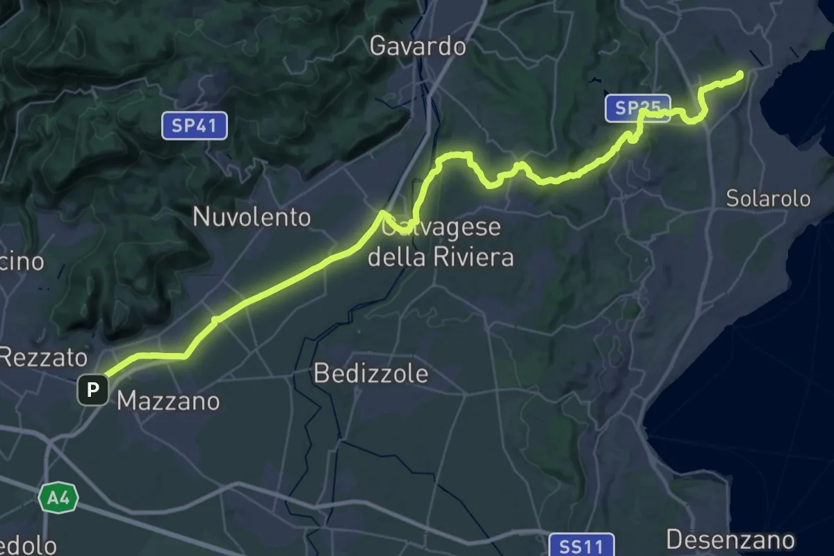
Demanding · Summit
Via della Valtenesi
46.5 km · ↑ 468 m · 11 h 59 min · 13 km away
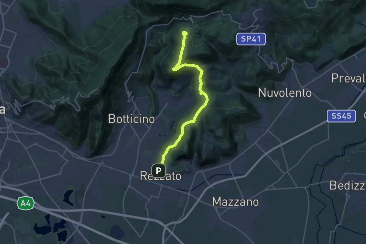
Demanding · Summit
Sentiero principale Valverde
17.5 km · ↑ 748 m · 5 h 45 min · 13 km away
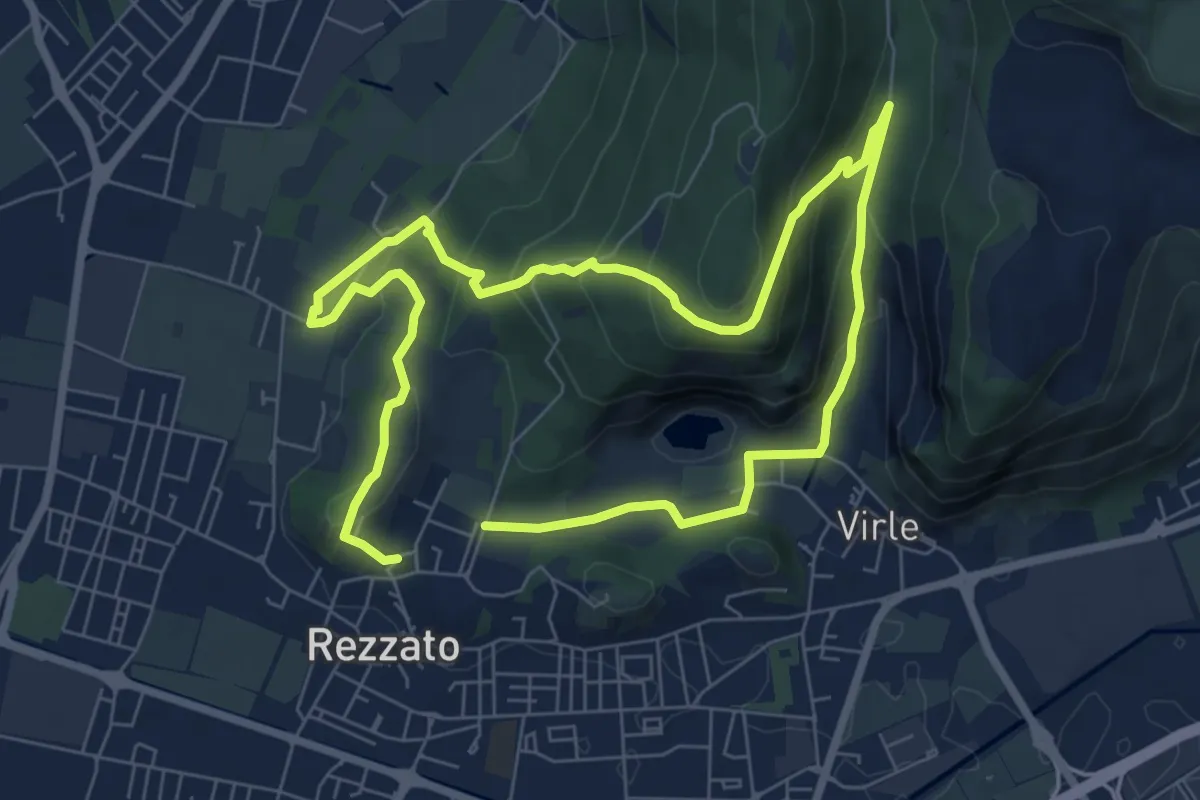
Medium · Summit
Sentiero della storia
6.4 km · ↑ 306 m · 2 h 16 min · 13 km away
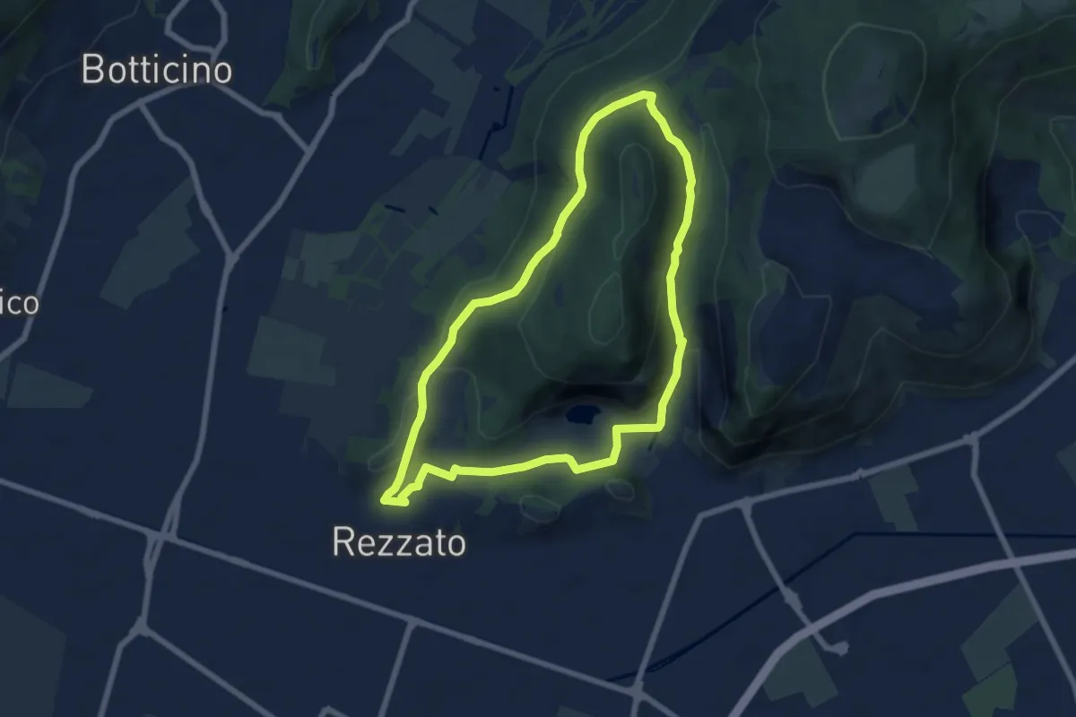
Medium · Summit
Sentiero della Rasa
6.3 km · ↑ 203 m · 2 h 1 min · 13 km away
Medium · Summit
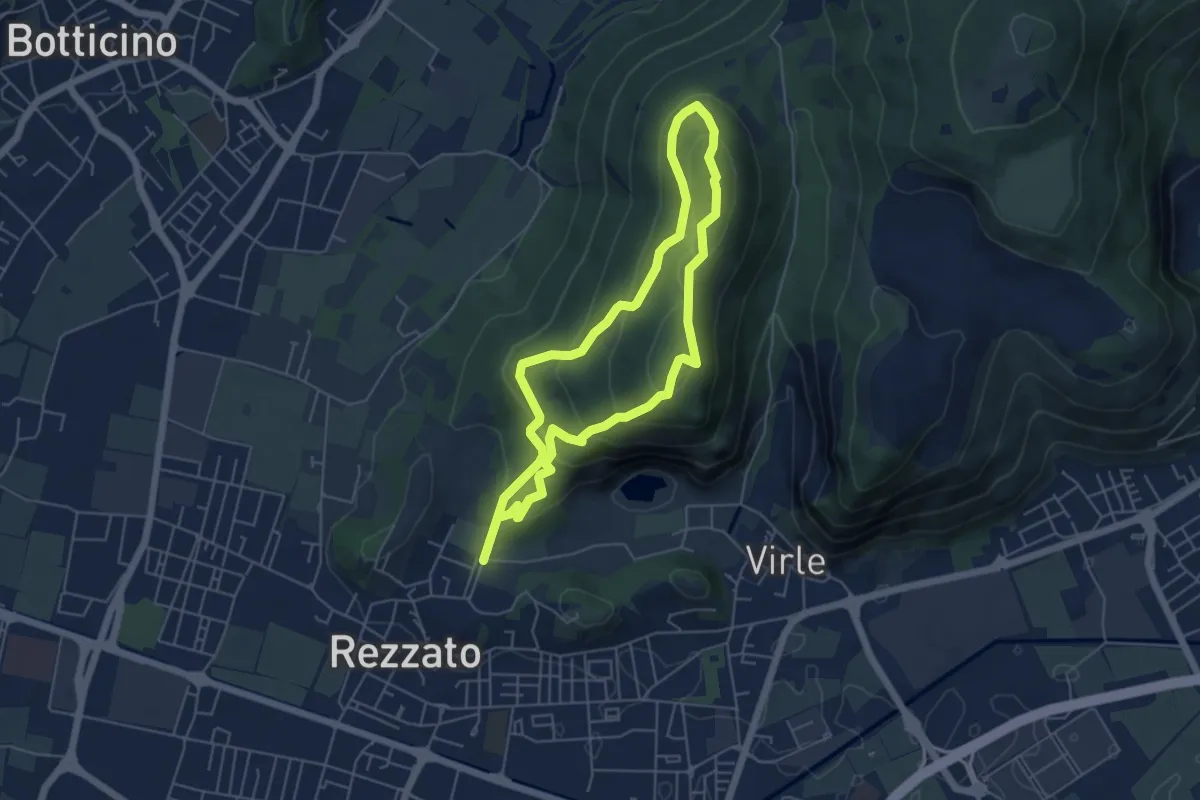
Sentiero dei fiori
4.8 km · ↑ 271 m · 1 h 48 min · 14 km away
Demanding · Trail
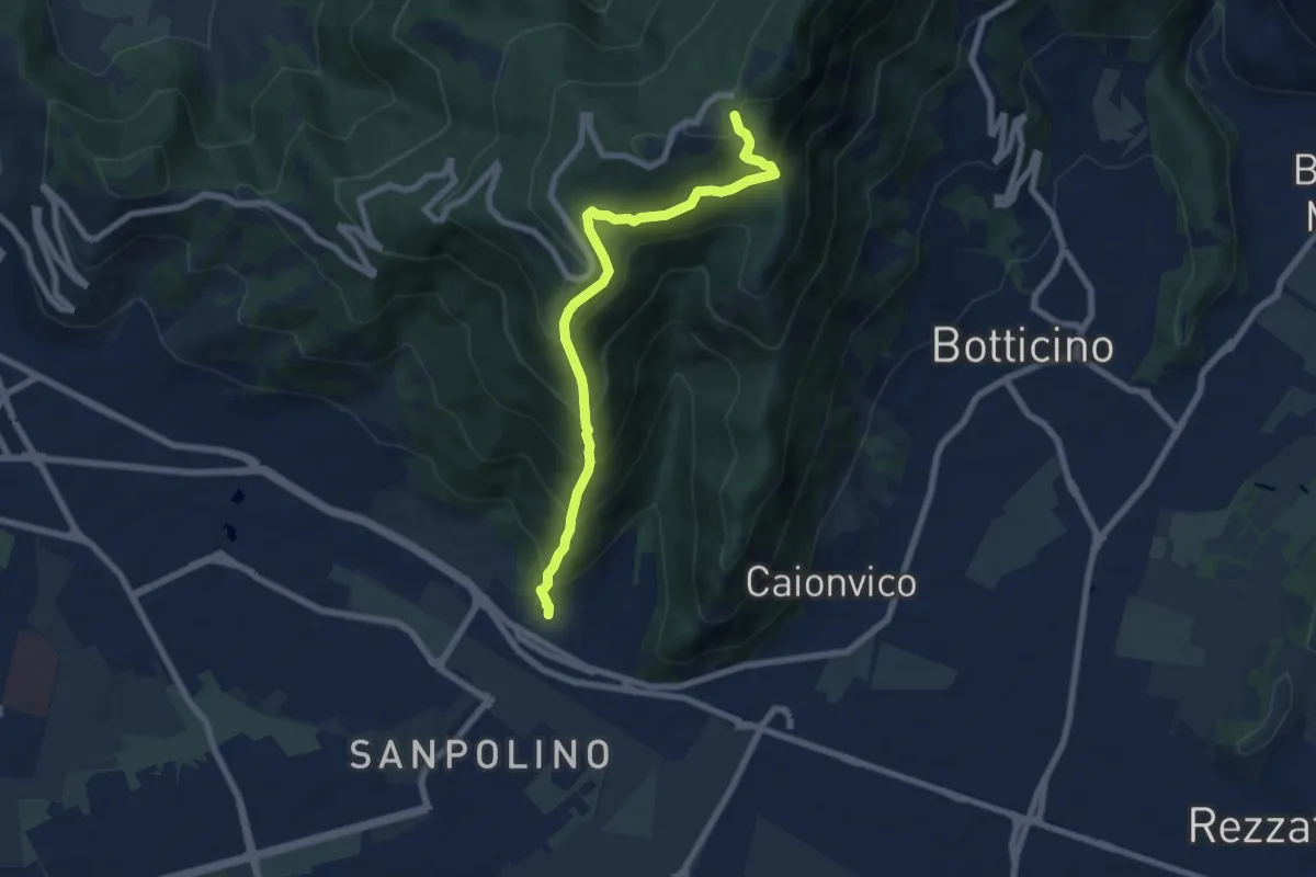
Brescia (Via del Triinale) – Chiesetta della Maddalena
7.4 km · ↑ 760 m · 3 h 24 min · 14 km away
Demanding · Summit
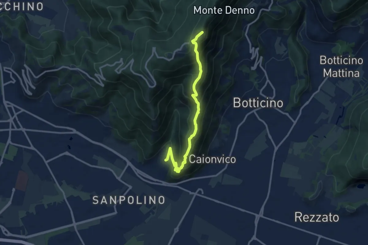
Brescia (Sant'Eufemia - Via Cesare Noventa) – Ex Rifugio Monte Maddalena
9.1 km · ↑ 718 m · 3 h 42 min · 14 km away
Medium · Cabin
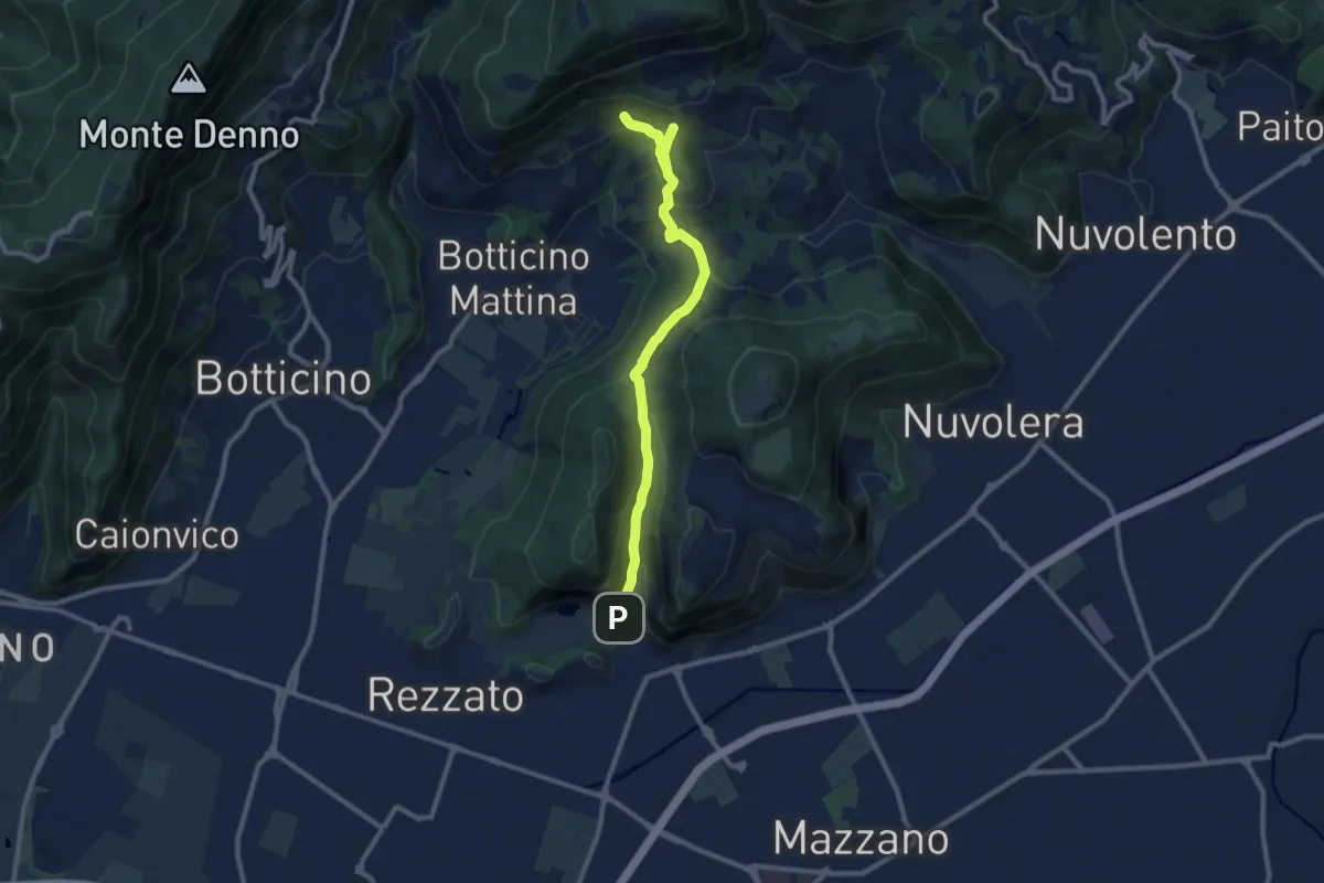
La Via del marmo - Rezzato (Valle di Virle)
10.9 km · ↑ 399 m · 3 h 27 min · 14 km away
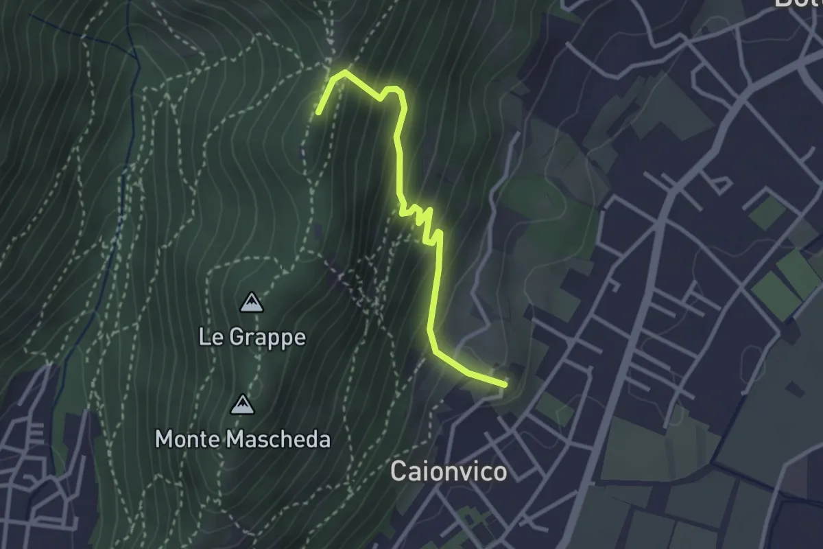
Demanding · Summit
Caionvico (Cimitero) – Sella della Poffa (Innesto Sentiero 901)
2.7 km · ↑ 293 m · 1 h 17 min · 14 km away
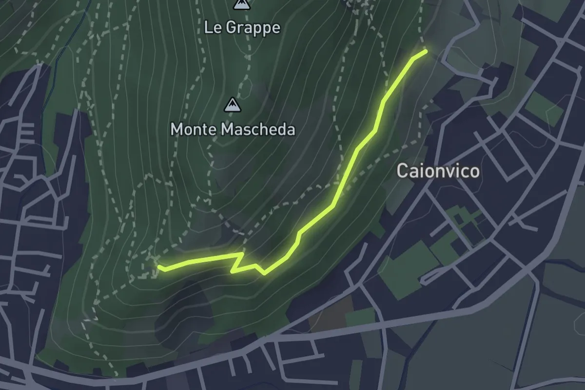
Medium · Trail
Sentiero della Ruta
2.1 km · ↑ 95 m · 42 min · 14 km away
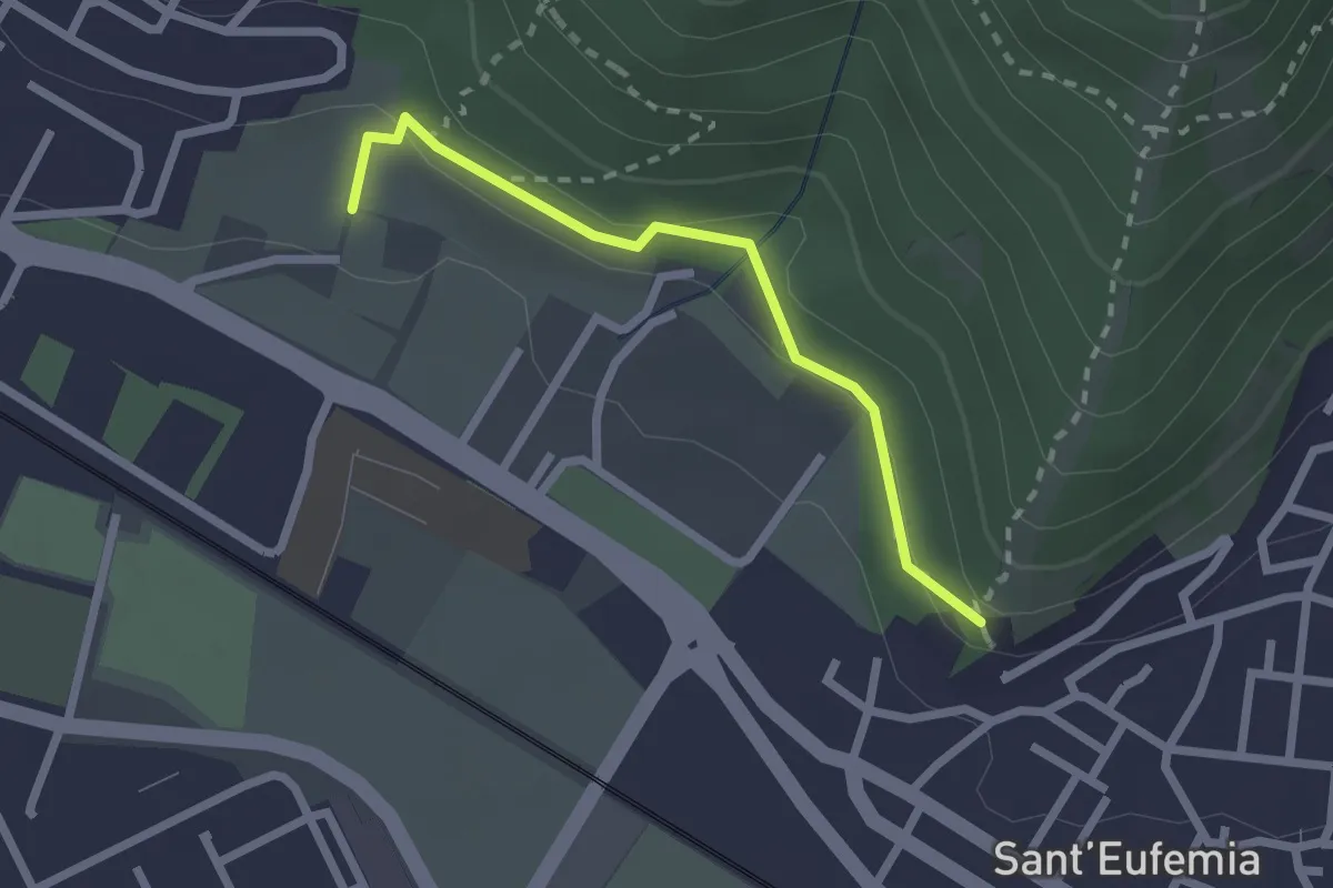
Medium · Trail
Sentiero della Memoria
2.2 km · ↑ 68 m · 39 min · 14 km away
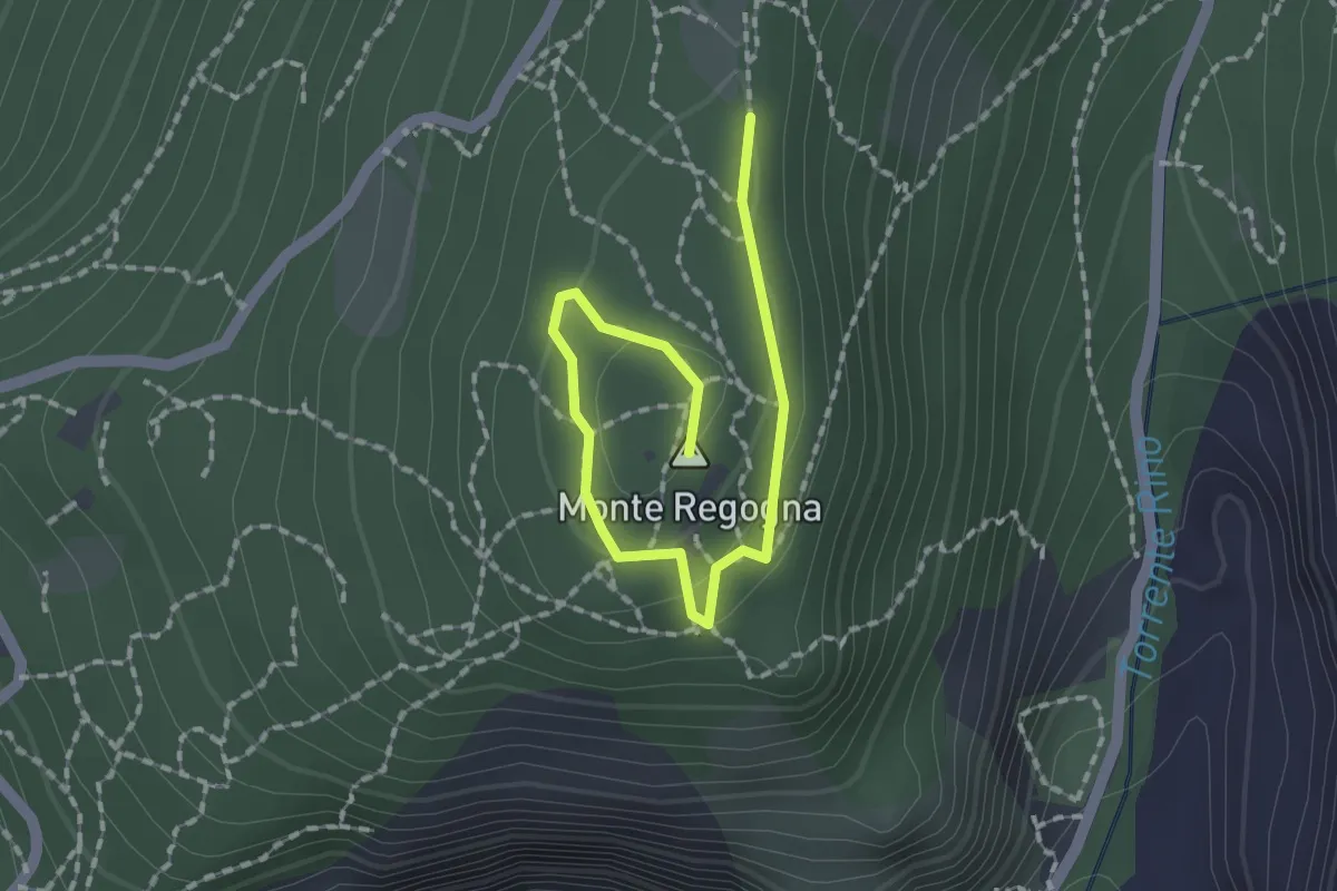
Easy · Summit
Sentiero didattico (Monte Regogna)
2.0 km · ↑ 54 m · 35 min · 15 km away
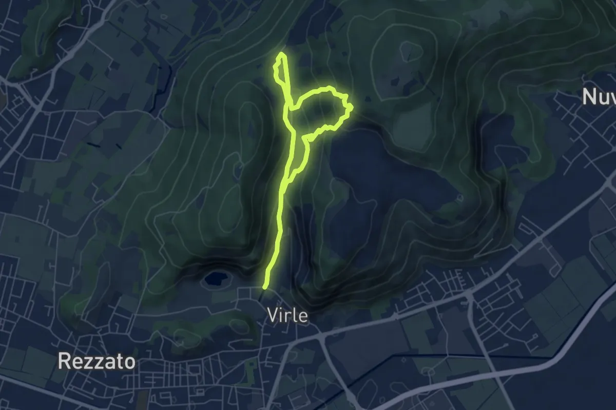
Medium · Trail
Sentiero della Valle di Virle
4.2 km · ↑ 202 m · 1 h 32 min · 15 km away
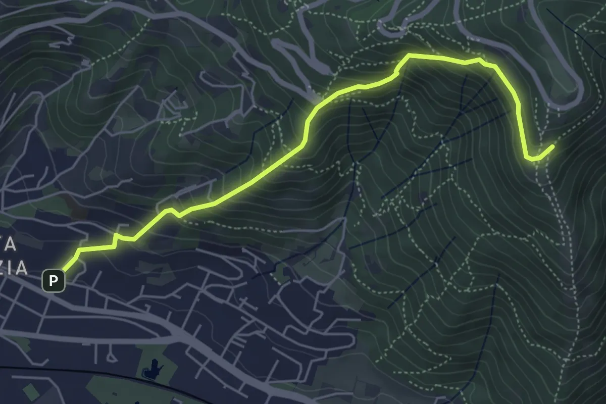
Medium · Trail
Brescia (Via del Canalotto) – Innesto Sentiero 902
5.7 km · ↑ 532 m · 2 h 29 min · 15 km away
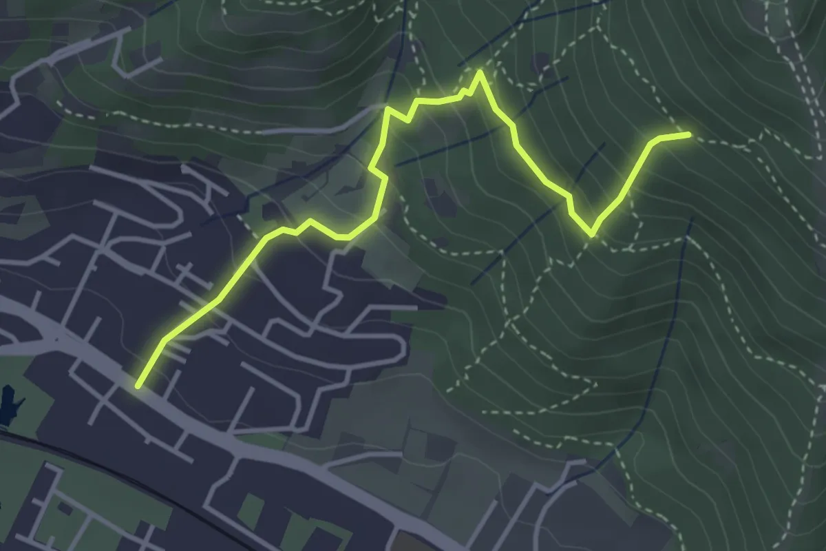
Medium · Trail
Brescia (Viale della Bornata) – Innesto Sentiero 912
3.9 km · ↑ 337 m · 1 h 39 min · 15 km away
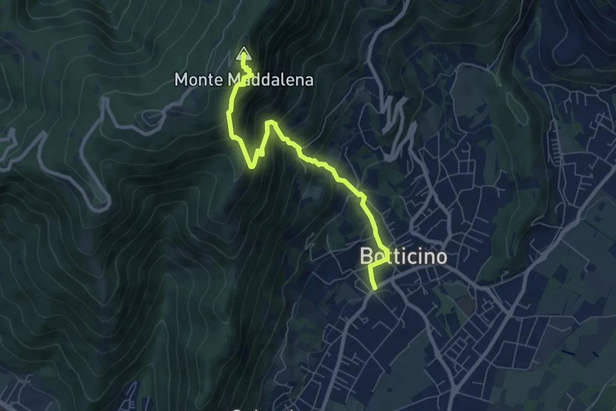
Medium · Summit
Botticino (Via Gioacchino Rossini) – Ex Rifugio Monte Maddalena
6.6 km · ↑ 756 m · 3 h 12 min · 15 km away