Trails near Giarre
41 hikes starting within 15 km, nearest first.
Nearest first
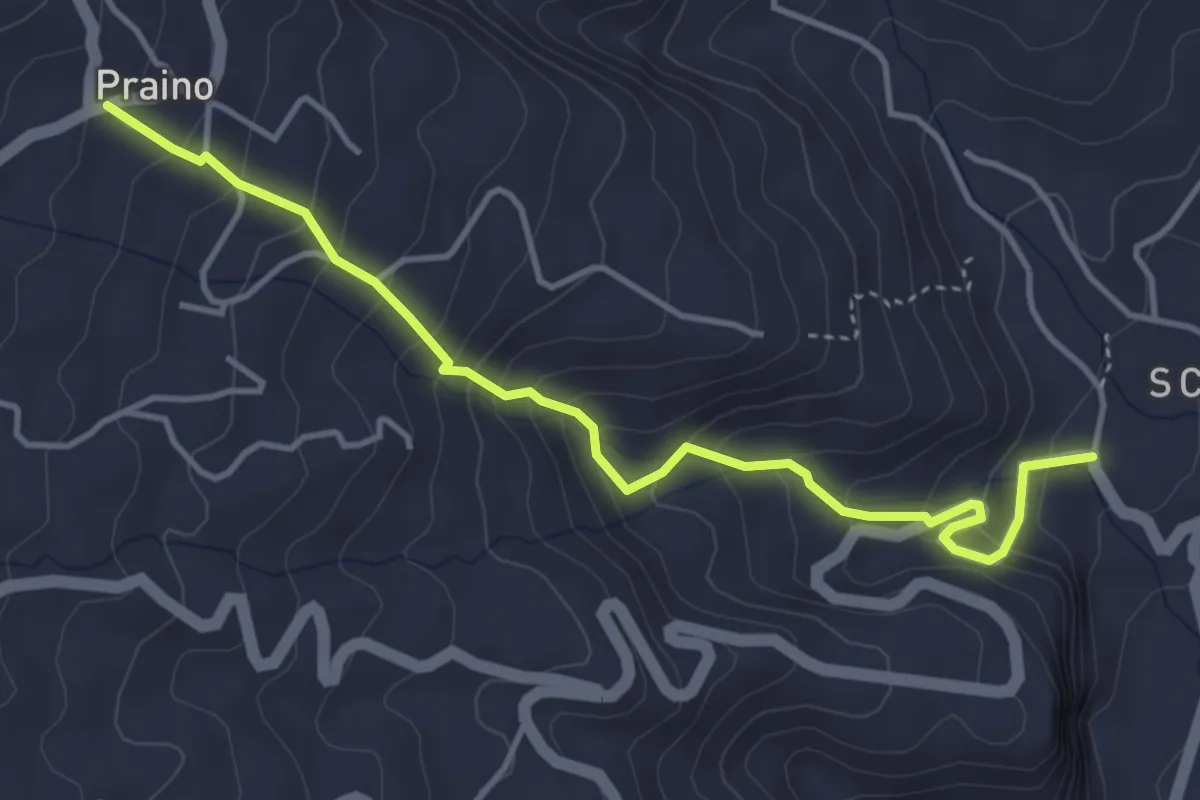
Medium · Trail
via Cacocciola
5.0 km · ↑ 410 m · 2 h 4 min · 4 km away
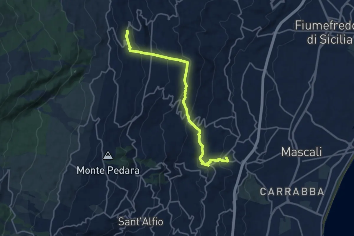
Medium · Trail
Nunziata – Presa
13.7 km · ↑ 637 m · 4 h 37 min · 4 km away
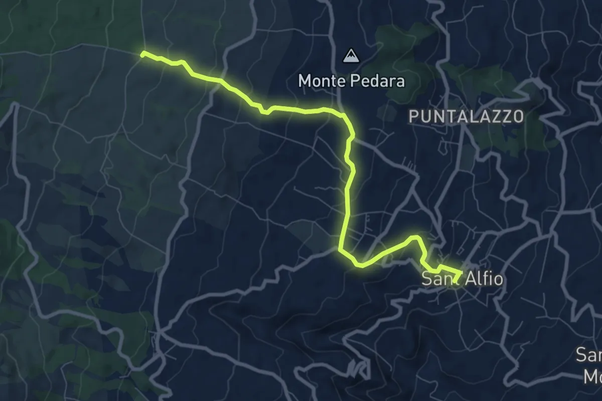
Medium · Trail
Sant'Alfio - Sentiero 731
9.6 km · ↑ 433 m · 3 h 12 min · 4 km away
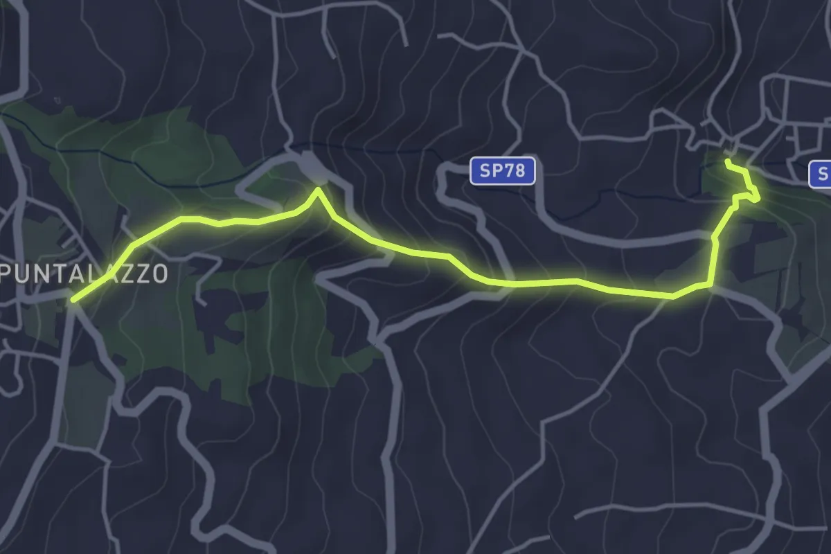
Medium · Trail
Puntalazzo Nunziata
4.9 km · ↑ 340 m · 1 h 54 min · 5 km away
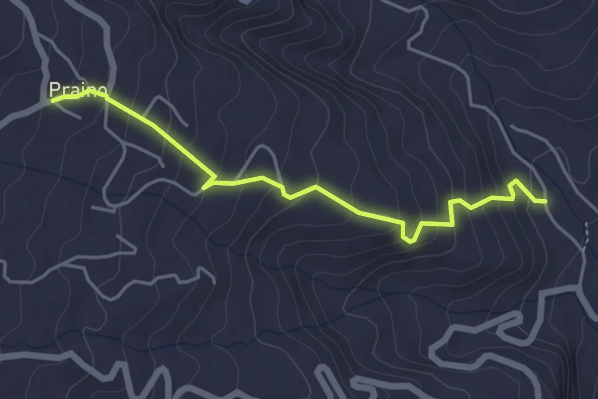
Medium · Trail
Sciara Praino
4.4 km · ↑ 360 m · 1 h 50 min · 5 km away
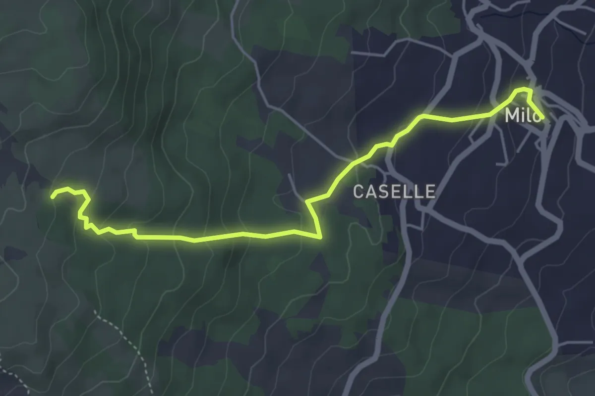
Easy · Trail
Milo - Sentiero 724
5.5 km · ↑ 251 m · 1 h 51 min · 6 km away
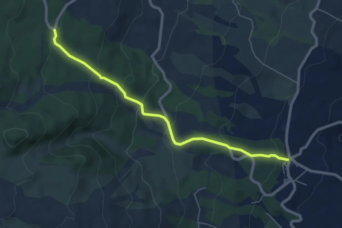
Easy · Cabin
Fornazzo - Sentiero 731
5.4 km · ↑ 319 m · 1 h 58 min · 7 km away
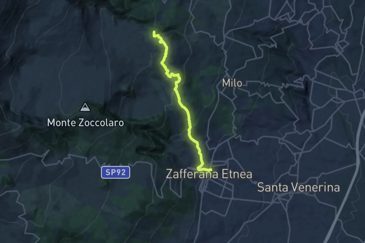
Medium · Summit
Sentiero Ginestre tappa 2
14.1 km · ↑ 713 m · 4 h 53 min · 8 km away
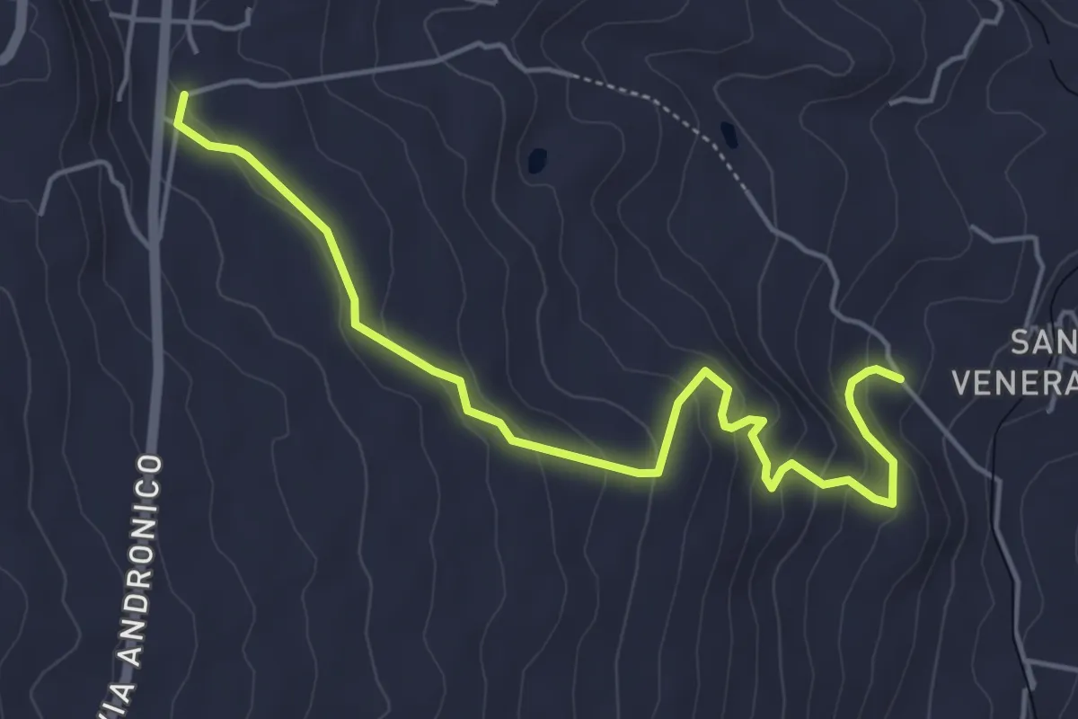
Easy · Trail
Presa - Santa Venera variante Bagolaro
6.1 km · ↑ 293 m · 2 h 5 min · 8 km away
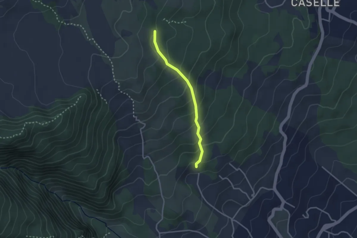
Medium · Trail
Dagalone Carrinu - Ilice Carrinu
2.6 km · ↑ 184 m · 1 h 1 min · 8 km away
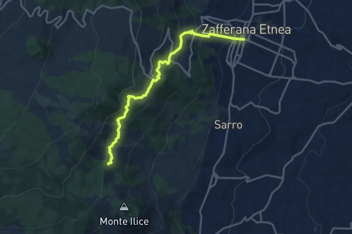
Demanding · Trail
SdG 1 Variante Nord
9.5 km · ↑ 538 m · 3 h 25 min · 8 km away
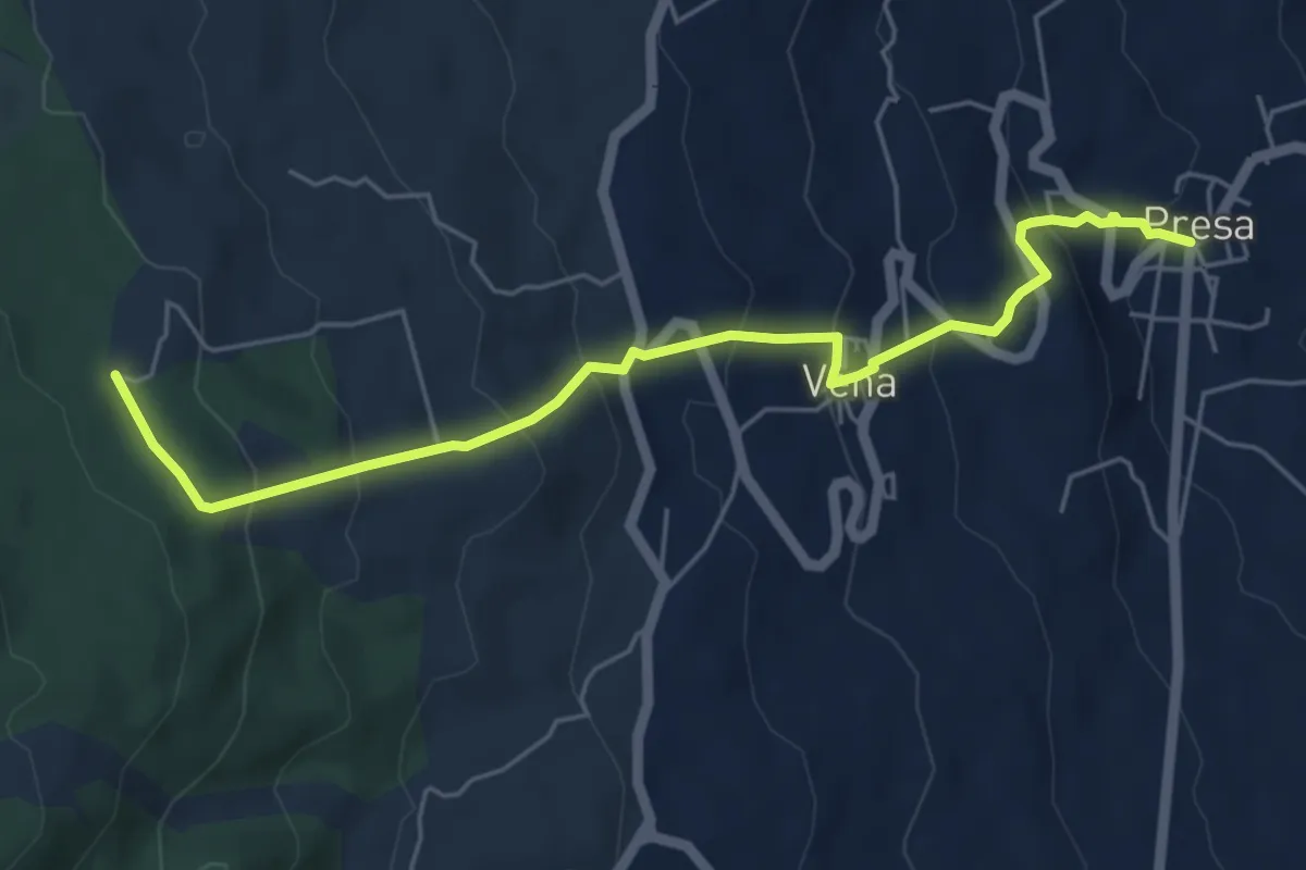
Medium · Trail
Presa - Case Bevacqua
6.6 km · ↑ 443 m · 2 h 32 min · 8 km away
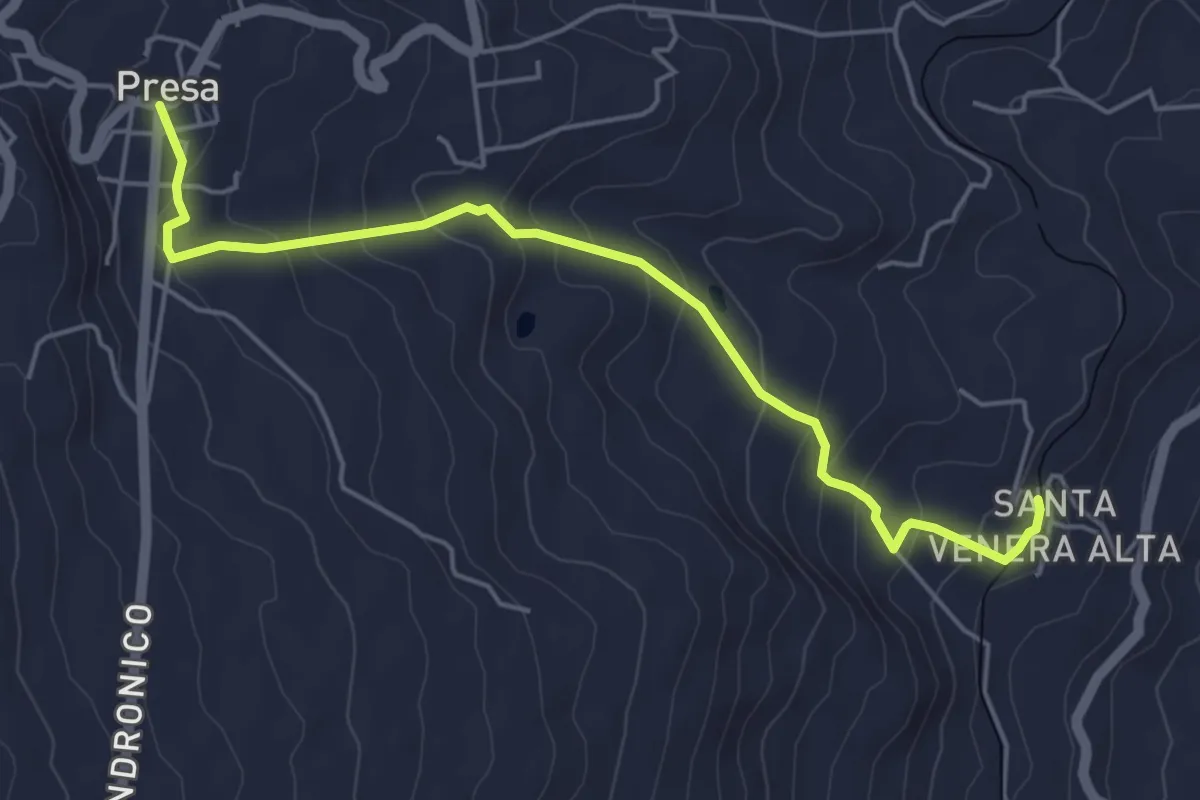
Easy · Trail
Santa Venera - Presa
6.0 km · ↑ 316 m · 2 h 6 min · 8 km away
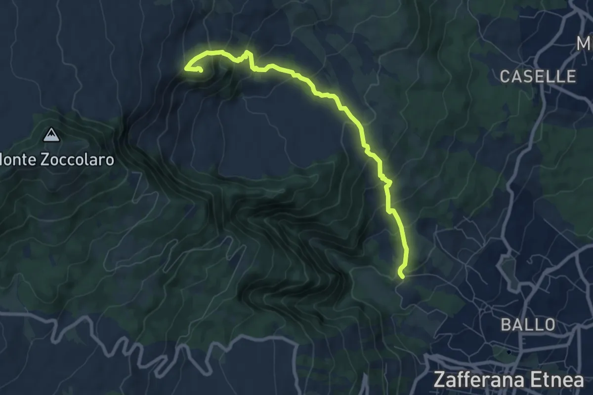
Medium · Summit
Val Calanna
8.3 km · ↑ 562 m · 3 h 11 min · 9 km away
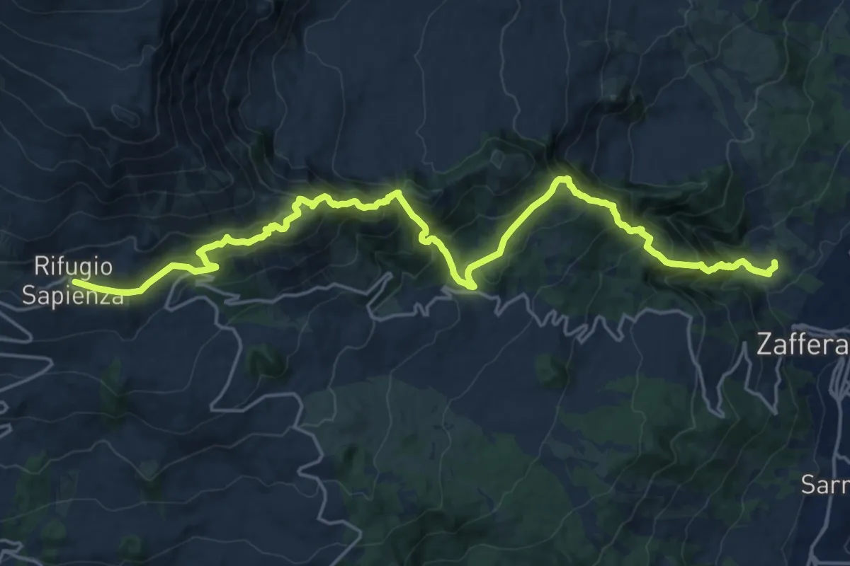
Demanding · Trail
Rifugio CAI Giovannino Sapienza – Zafferana Etnea frazione Ballo
12.6 km · ↑ 1548 m · 5 h 55 min · 9 km away
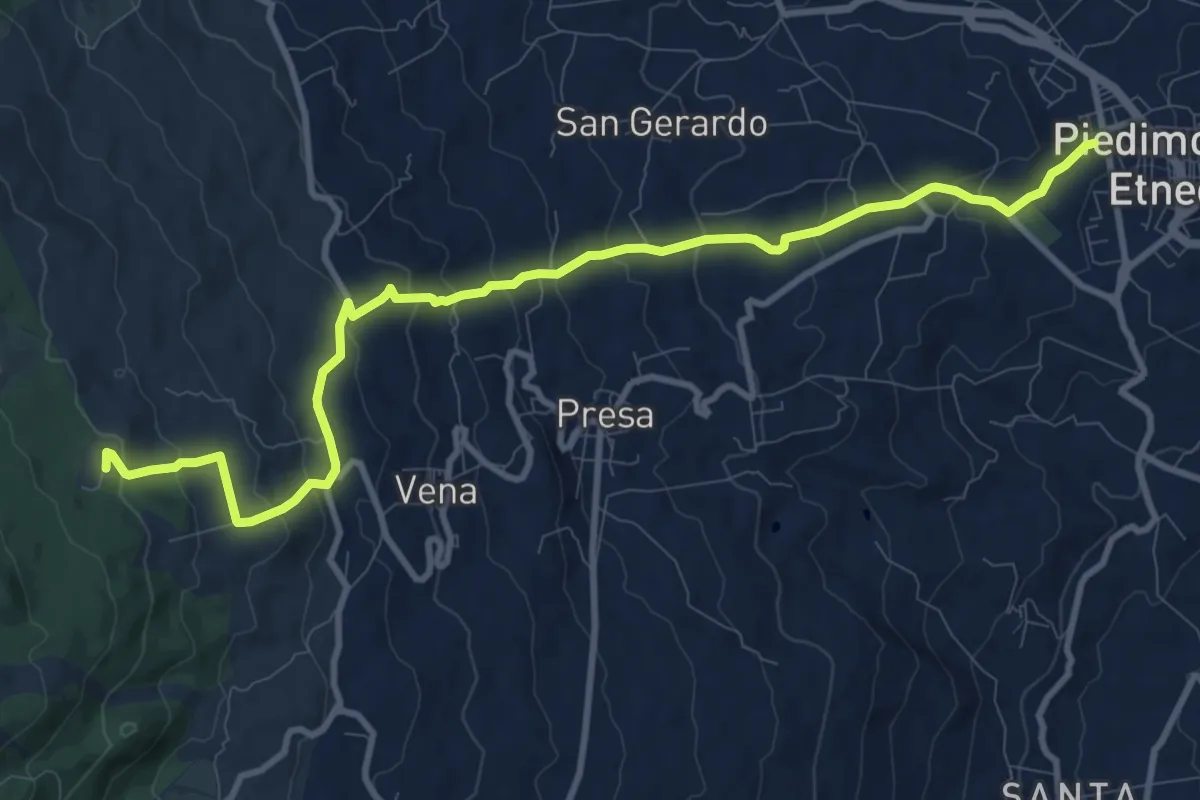
Medium · Trail
Piedimonte Etneo - Case Bevacqua
13.3 km · ↑ 667 m · 4 h 35 min · 9 km away
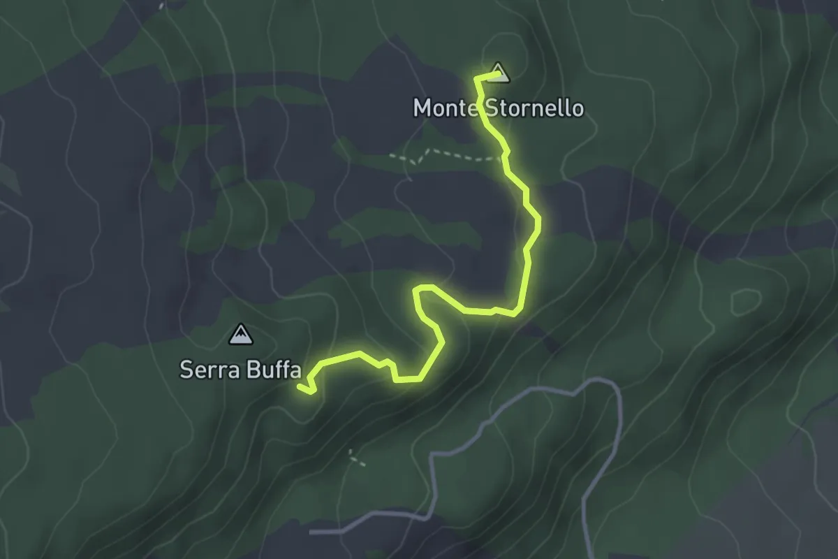
Easy · Summit
Case Bevacqua – Piazzale Serra Buffa
3.5 km · ↑ 128 m · 1 h 7 min · 9 km away
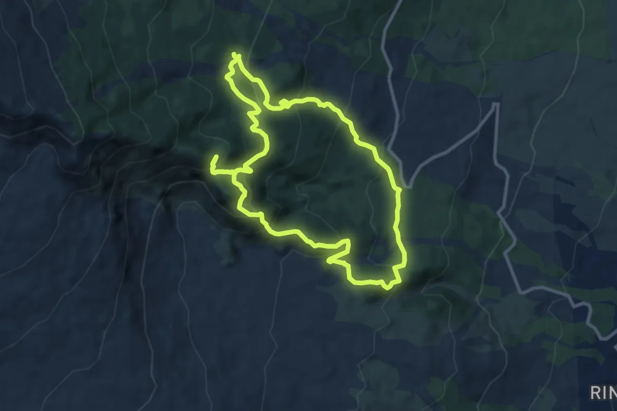
Medium · Summit
Anello Case Pietracannone-Alberi Monumentali
9.4 km · ↑ 635 m · 3 h 44 min · 10 km away
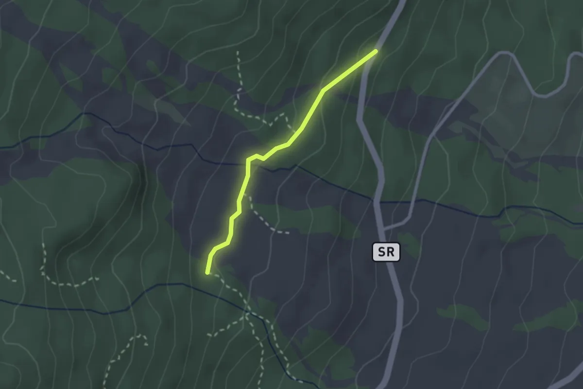
Easy · Cabin
Mareneve di Fornazzo – Case Paternò
2.2 km · ↑ 60 m · 39 min · 10 km away
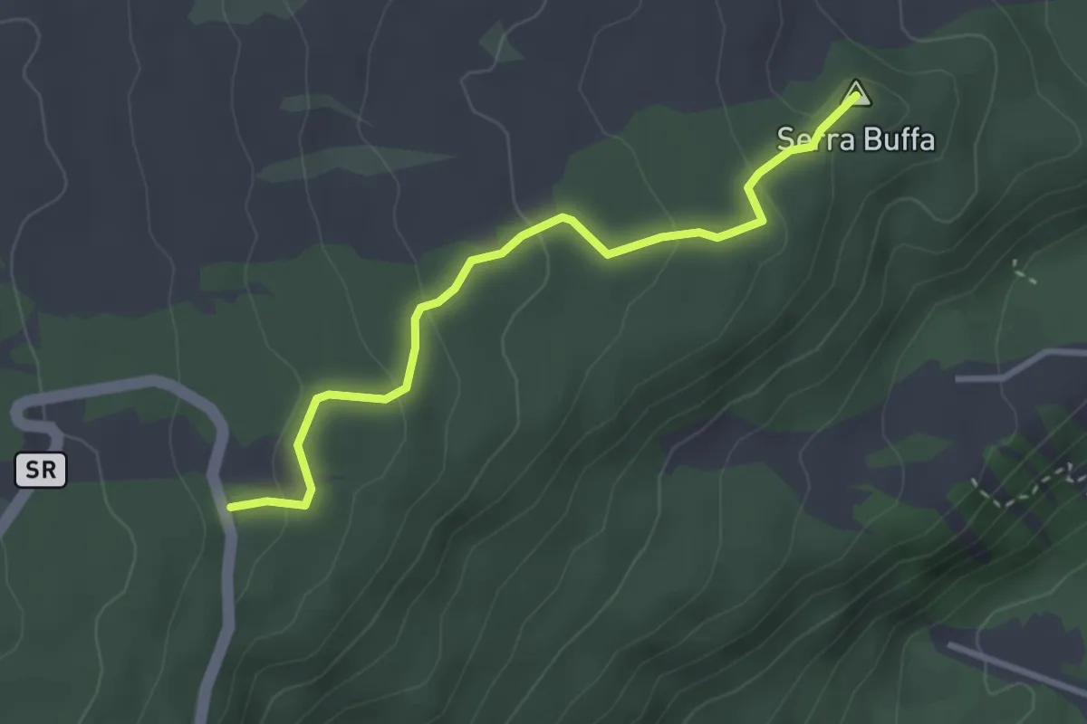
Easy · Summit
Serra Buffa Giarrita
3.5 km · ↑ 131 m · 1 h 6 min · 10 km away
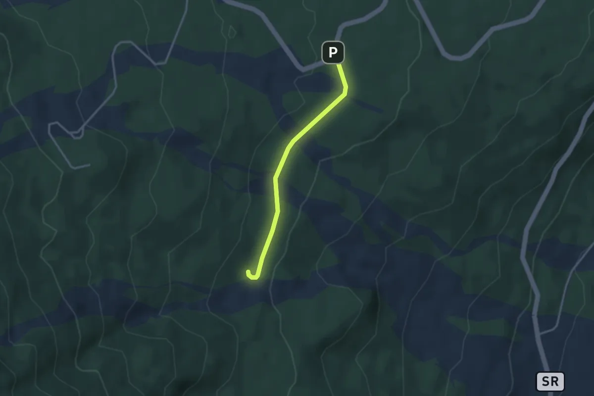
Easy · Trail
A Trofa du Camperi
2.9 km · ↑ 41 m · 46 min · 11 km away
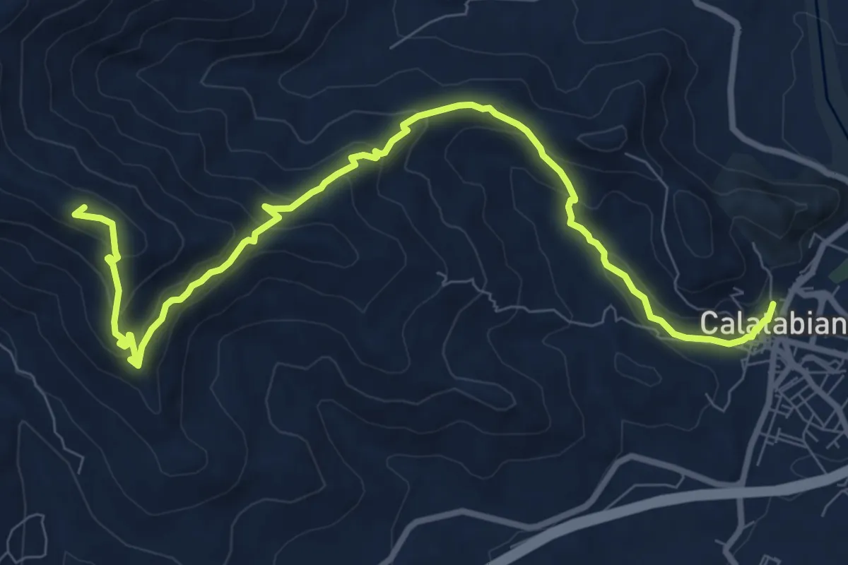
Medium · Summit
Sentiero del Pellegrino
11.6 km · ↑ 558 m · 3 h 57 min · 11 km away
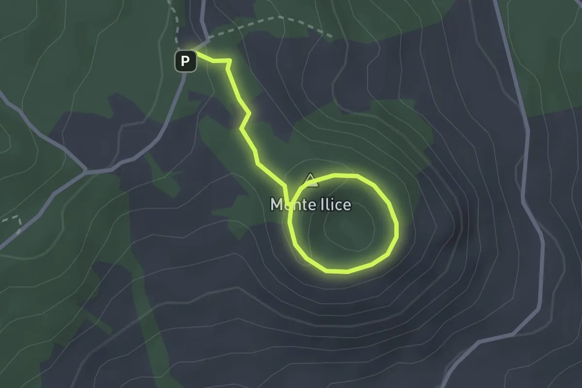
Medium · Summit
Sentiero Monte Ilice
1.5 km · ↑ 25 m · 26 min · 12 km away
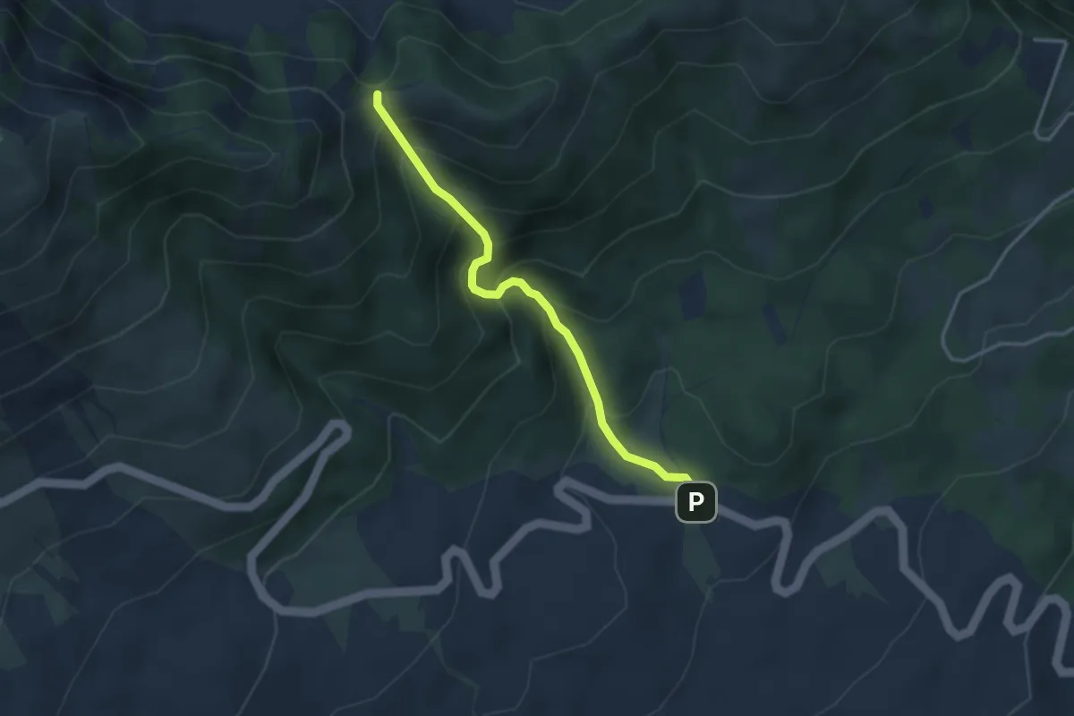
Medium · Trail
Piano del Vescovo - Serra del Salifizio
3.6 km · ↑ 356 m · 1 h 37 min · 12 km away
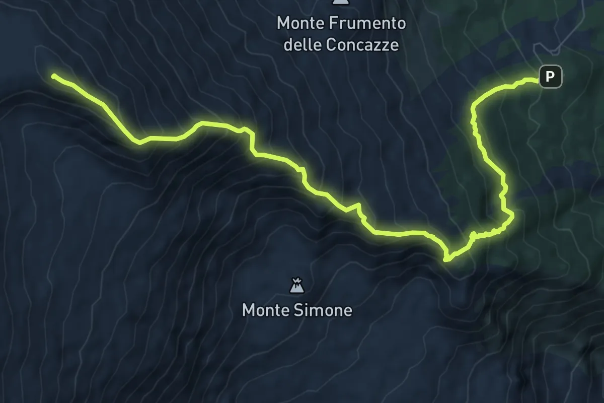
Demanding · Summit
Rifugio Citelli (Serracozzo) – Pizzi Deneri
11.9 km · ↑ 1115 m · 5 h 14 min · 12 km away
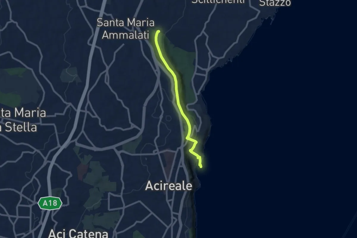
Expert · Trail
Sentiero della Vecchia Ferrovia
7.6 km · ↑ 238 m · 2 h 19 min · 12 km away
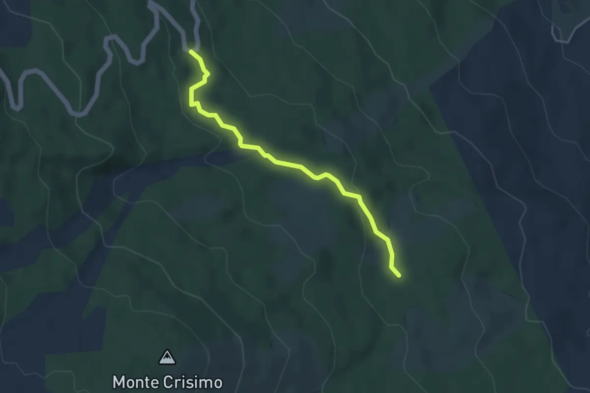
Easy · Trail
Contrada Mandra del Re - Strada Proviniciale Mareneve
4.1 km · ↑ 82 m · 1 h 8 min · 12 km away
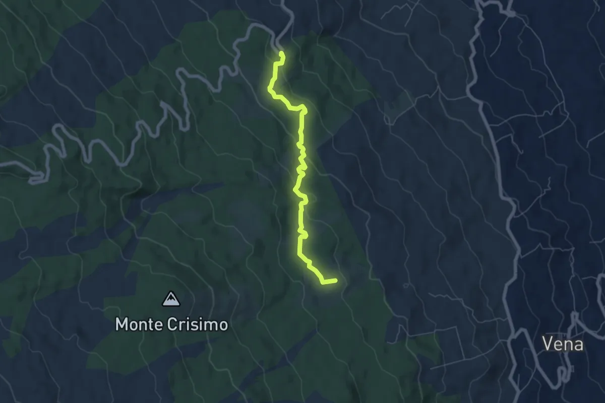
Easy · Summit
Case Bevacqua - Strada Provinciale Mareneve Fornazzo-Citelli-Linguaglossa
6.5 km · ↑ 185 m · 1 h 55 min · 12 km away
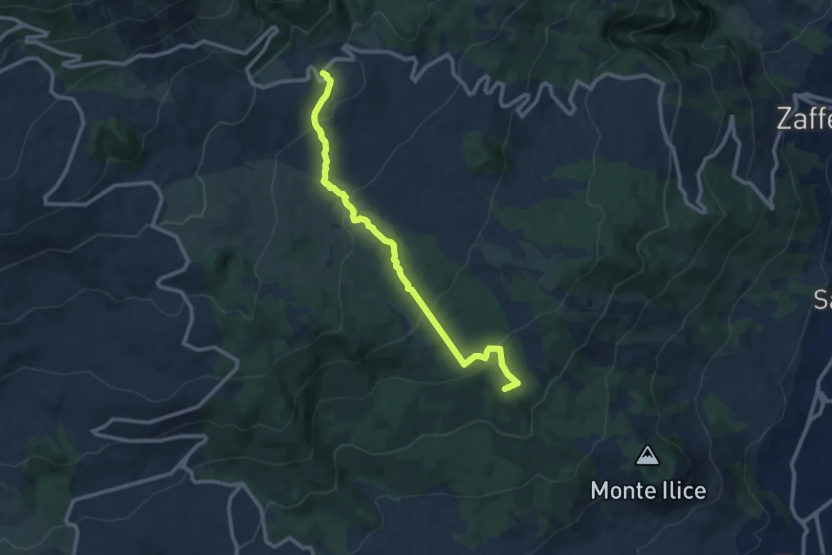
Medium · Summit
Sciammoru del Lupo
9.0 km · ↑ 381 m · 2 h 56 min · 13 km away
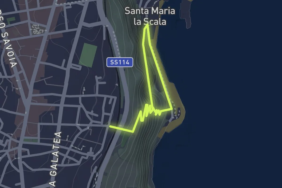
Easy · Trail
Sentiero delle Chiazzette
3.0 km · ↑ 223 m · 1 h 12 min · 13 km away
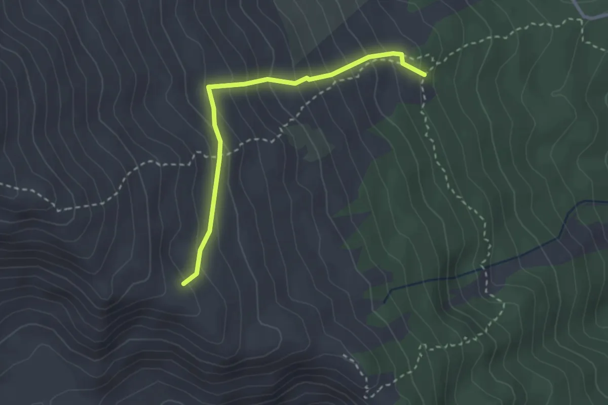
Demanding · Trail
Variante Serracozzo
3.0 km · ↑ 310 m · 1 h 23 min · 13 km away
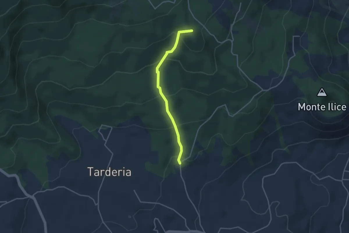
Medium · Summit
Strada Sciddichenti
3.3 km · ↑ 228 m · 1 h 17 min · 13 km away
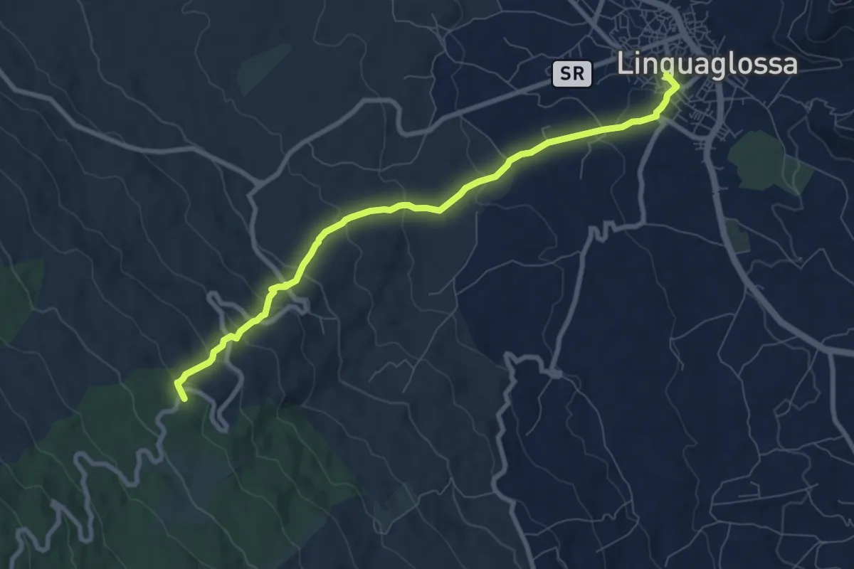
Medium · Summit
La Trainara
9.2 km · ↑ 430 m · 3 h 6 min · 13 km away
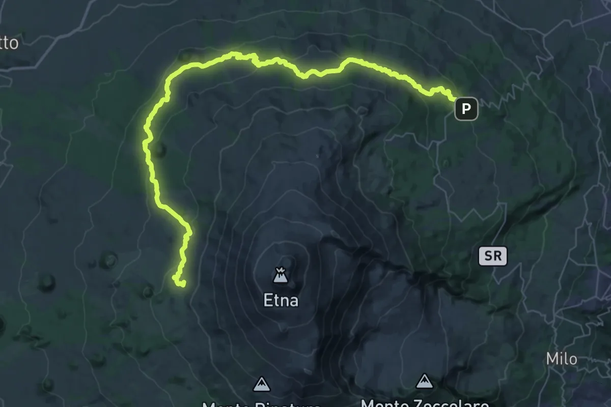
Demanding · Summit
Pista Altomontana
50.6 km · ↑ 1471 m · 15 h 8 min · 13 km away
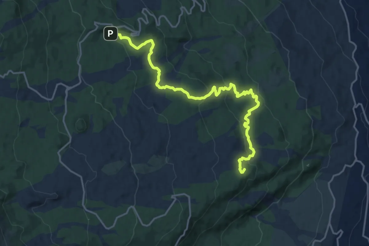
Medium · Summit
Sentiero delle Ginestre tappa 3
15.8 km · ↑ 475 m · 4 h 46 min · 13 km away
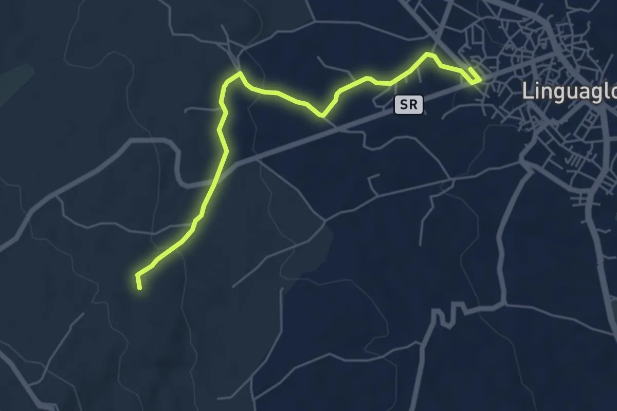
Easy · Trail
La Trainara Variante A
5.9 km · ↑ 120 m · 1 h 39 min · 14 km away
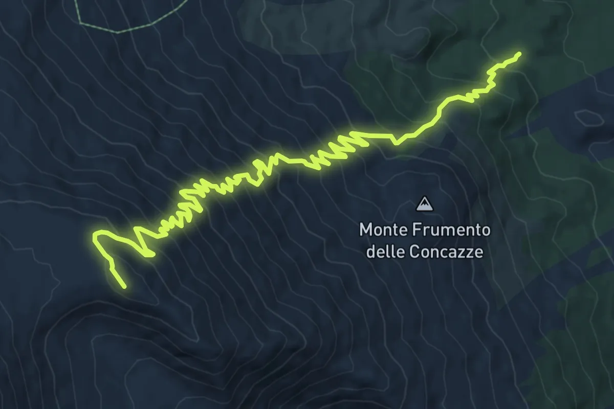
Demanding · Summit
Tagara del Leone
14.6 km · ↑ 1187 m · 6 h 2 min · 14 km away
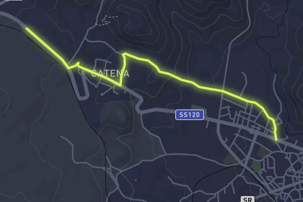
Easy · Trail
Sentiero delle Ginestre tappa 4 variante Linguaglossa
5.4 km · ↑ 122 m · 1 h 33 min · 14 km away
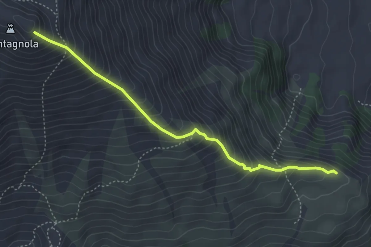
Demanding · Trail
Schiena dell'Asino
4.8 km · ↑ 602 m · 2 h 26 min · 14 km away
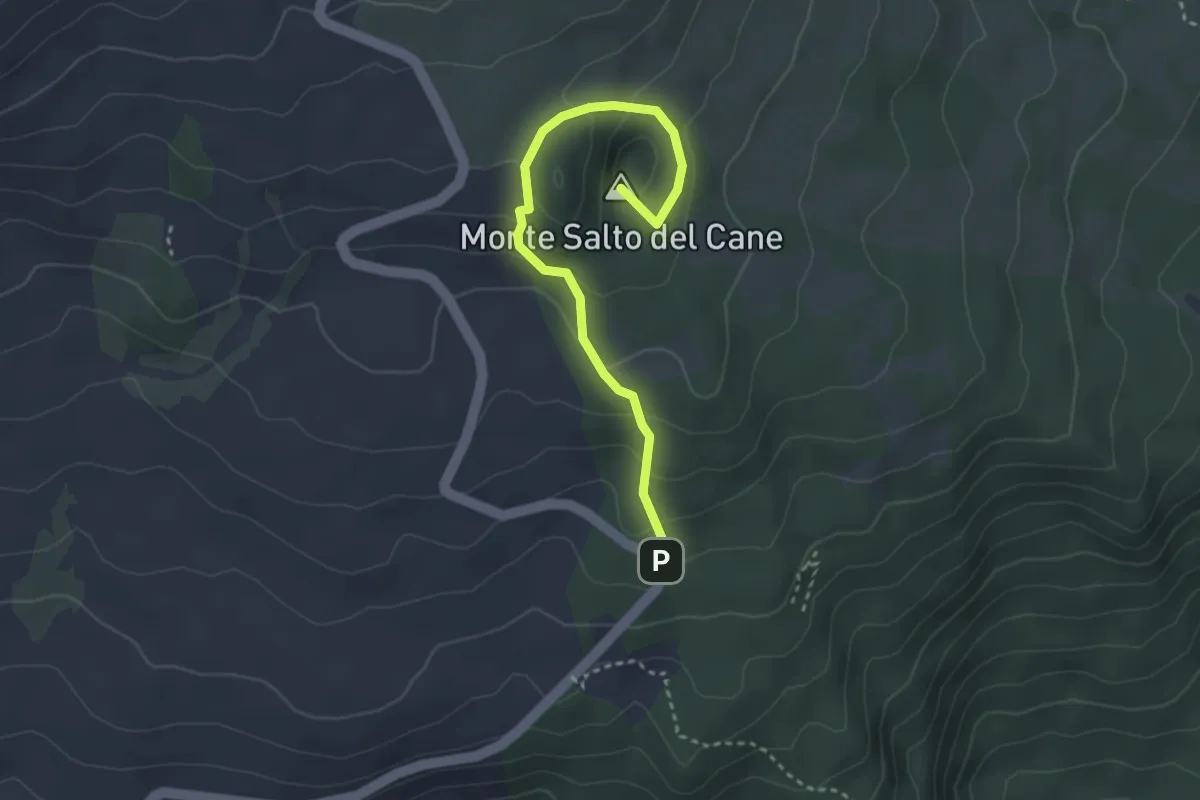
Easy · Summit
Monte Salto del Cane
3.8 km · ↑ 206 m · 1 h 21 min · 14 km away
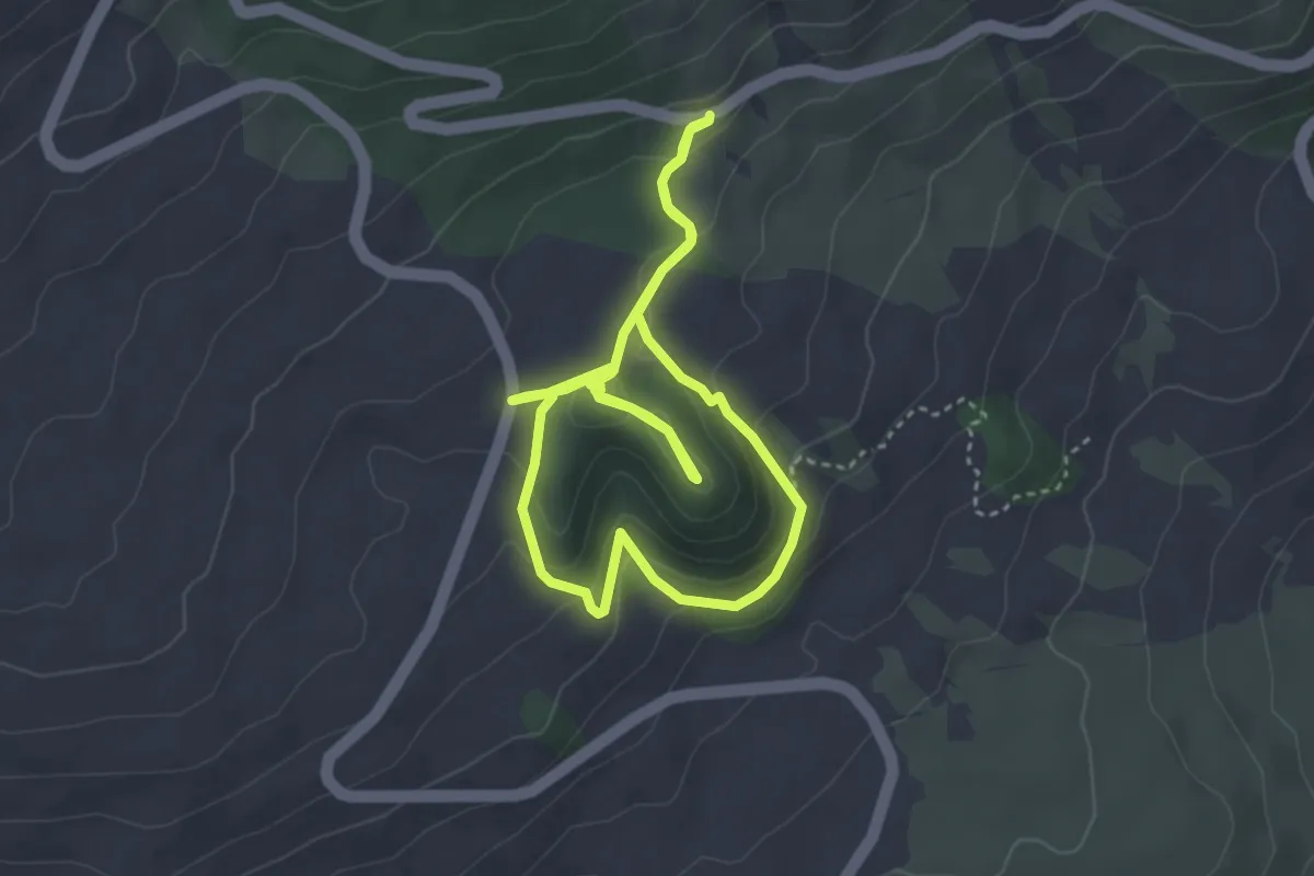
Easy · Summit
Casa del Vescovo - Serra Pizzuta Calvarina
4.0 km · ↑ 168 m · 1 h 22 min · 15 km away