Trails near Giaveno
179 hikes starting within 15 km, nearest first.
Nearest first, page 4 of 4
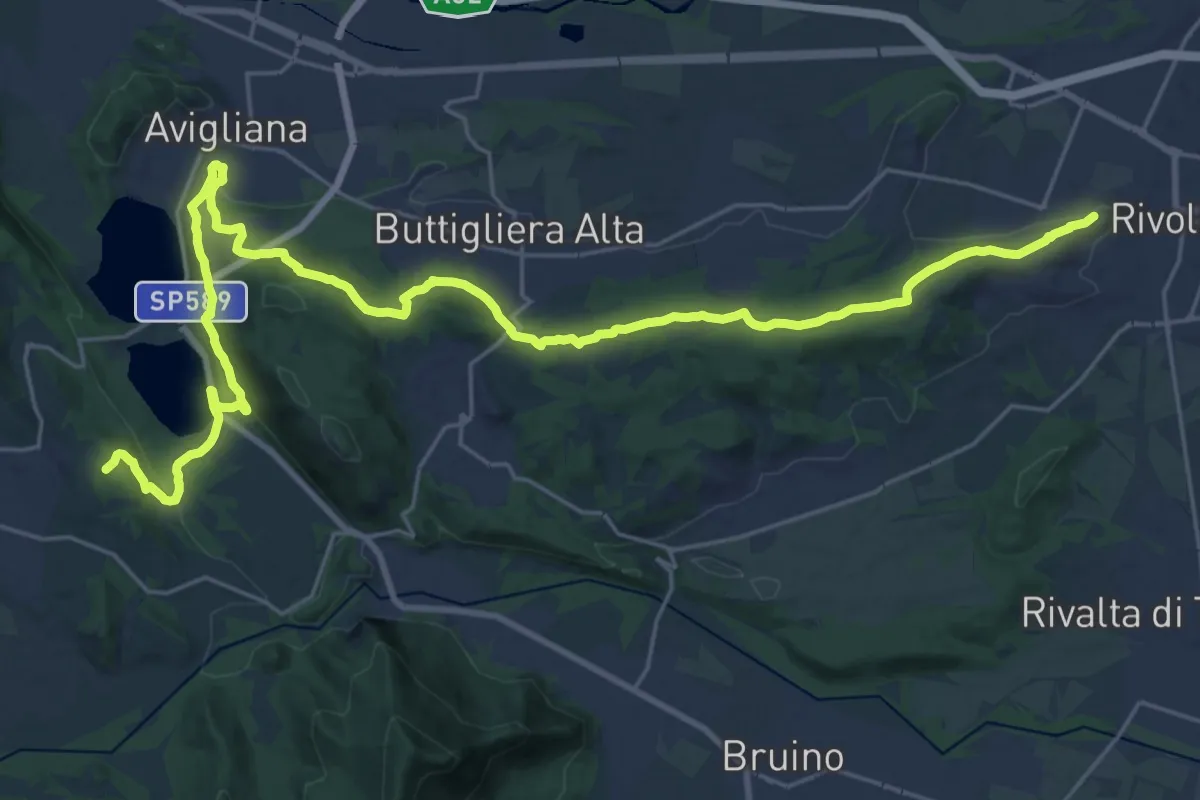
Demanding · Summit
Via dei Pellegrini
34.0 km · ↑ 784 m · 9 h 43 min · 13 km away
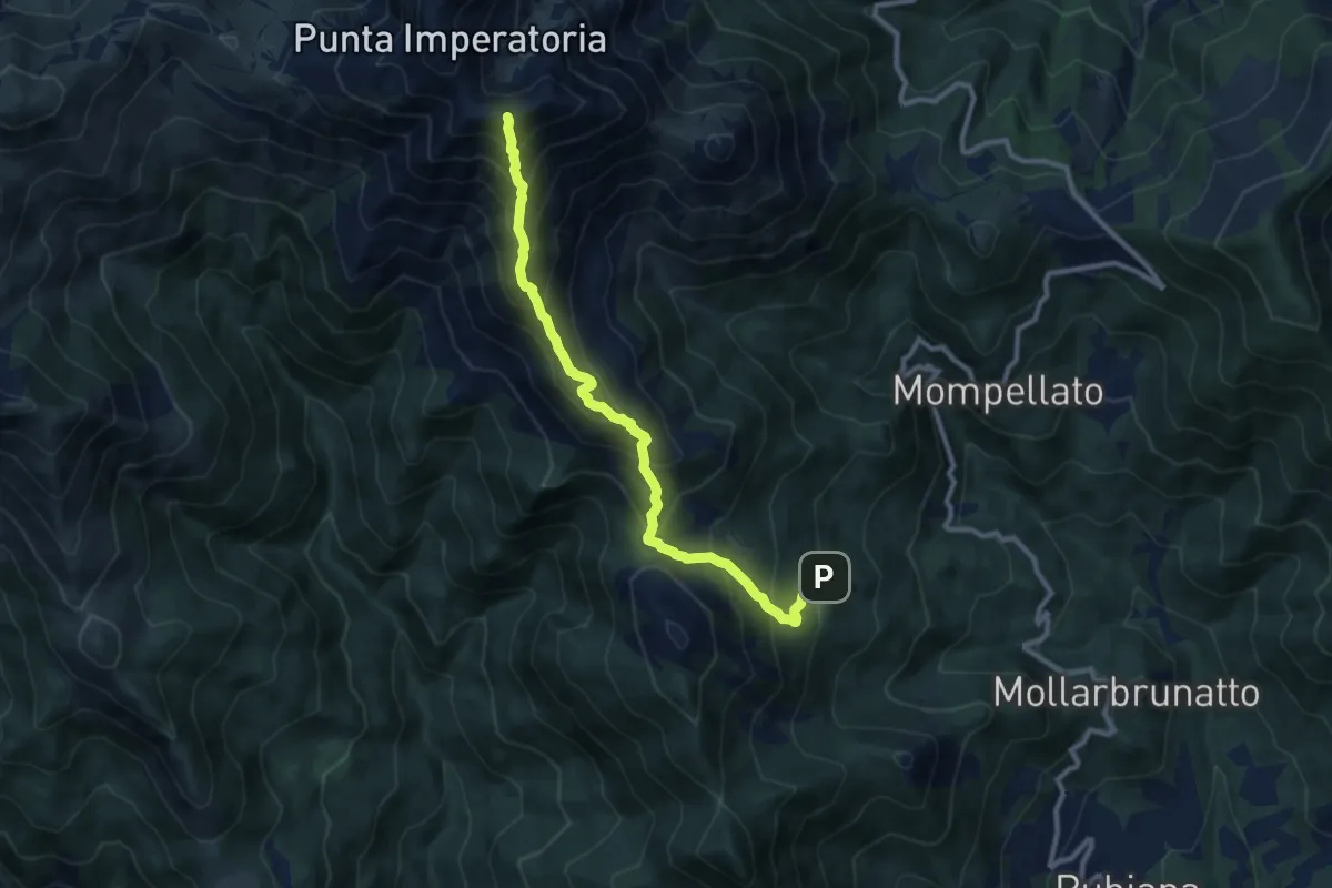
Demanding · Summit
Bivio 570B-577, muande Soffietti – Bivio 573-577, Colletto del Civrari
10.0 km · ↑ 991 m · 4 h 31 min · 13 km away
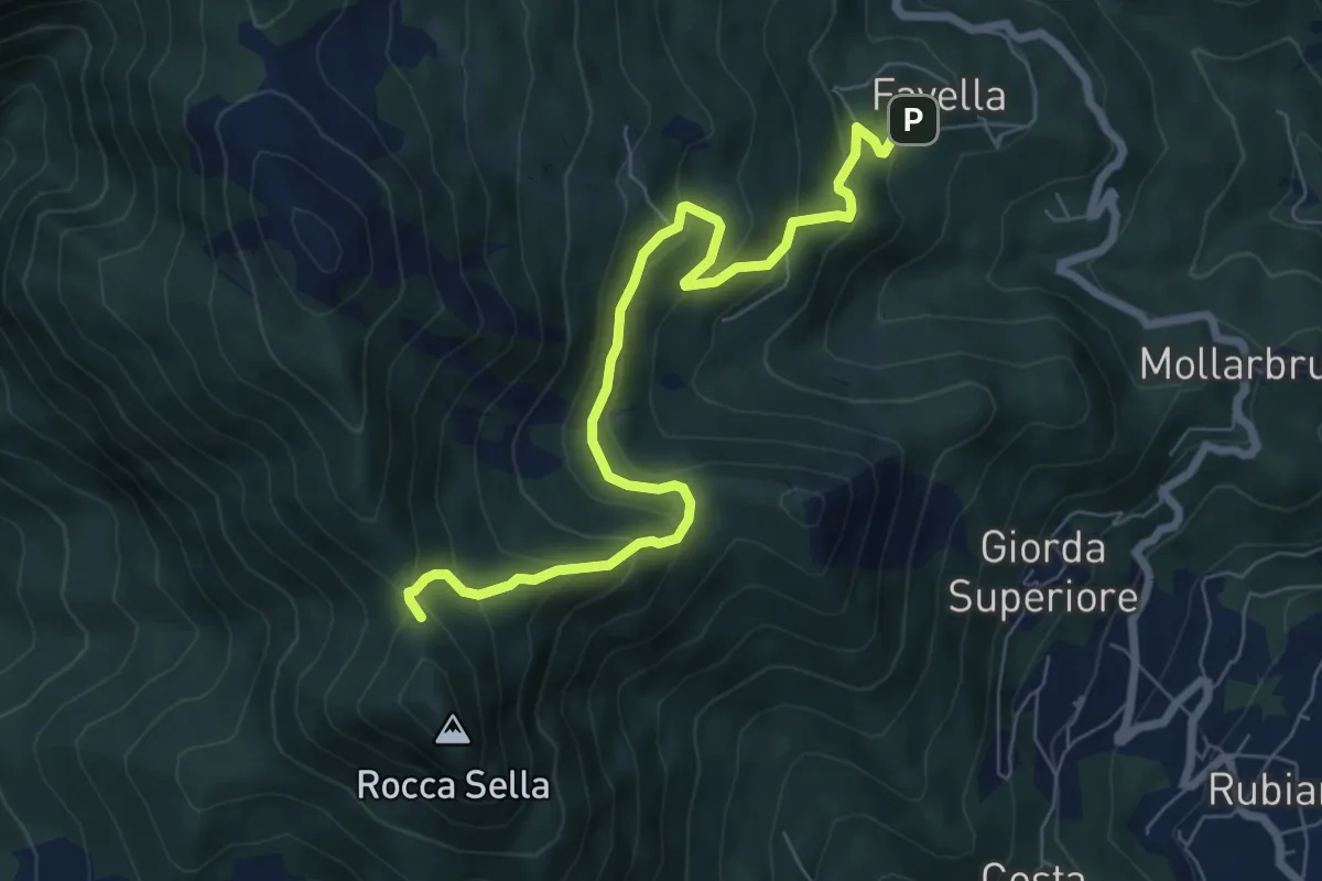
Medium · Trail
Bivio 570A, Favella – Bivio 575, Roccasella
7.8 km · ↑ 508 m · 2 h 57 min · 13 km away
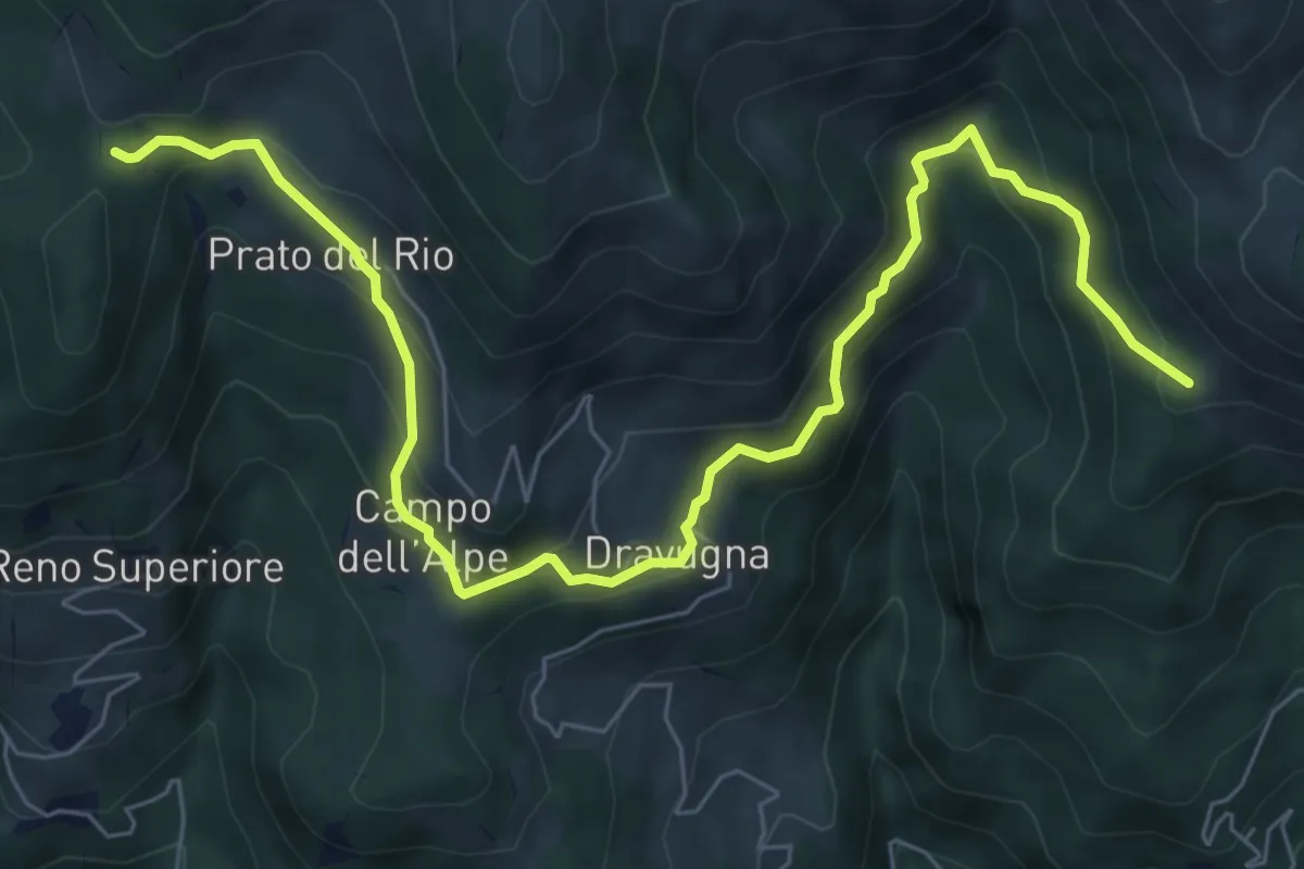
Medium · Trail
Bivio 550-567, Prato del Rio – Bivio 550-549A, pilone San Francesco
8.7 km · ↑ 564 m · 3 h 17 min · 13 km away
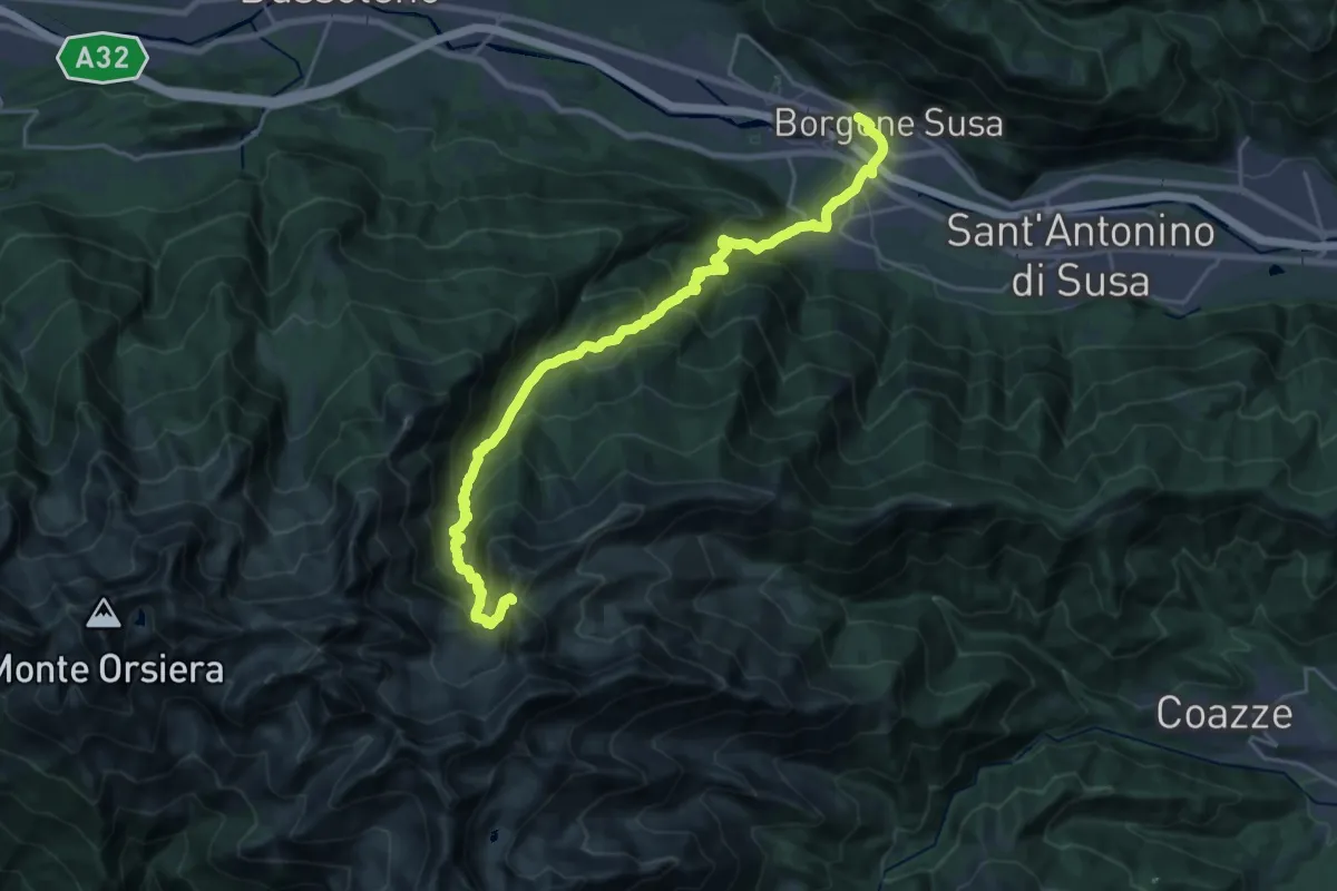
Demanding · Trail
Borgone di Susa, Stazione – Bivio 420-444-506, Colle del Vento
12.4 km · ↑ 1824 m · 6 h 9 min · 13 km away
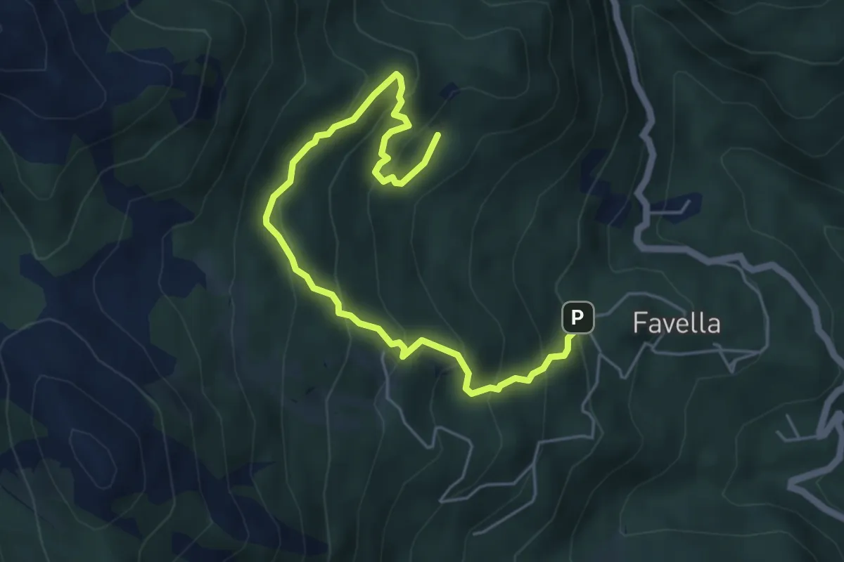
Medium · Trail
Bivio 570-570B, Favella – Bivio 570-570B, Muanda Franchino
6.0 km · ↑ 484 m · 2 h 28 min · 13 km away
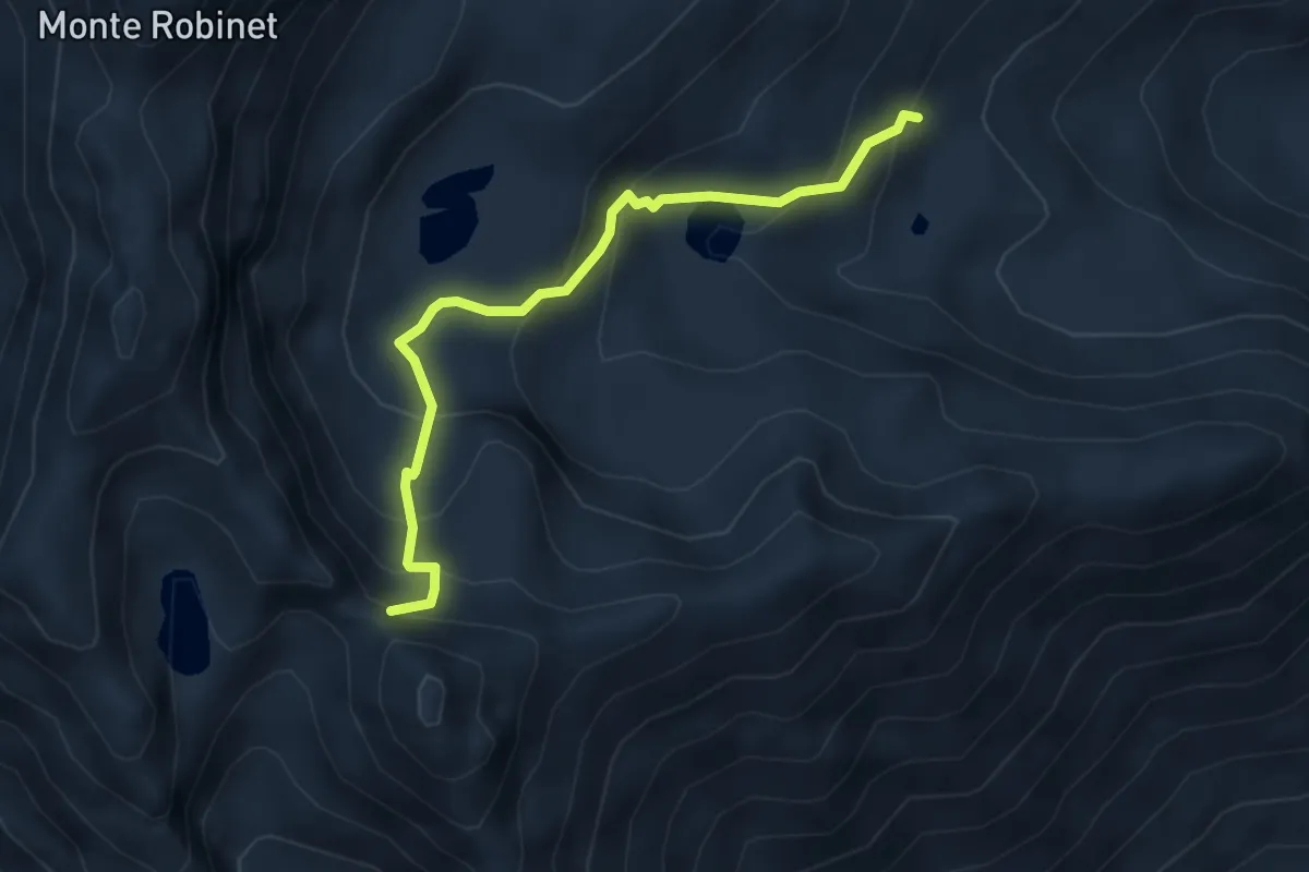
Medium · Trail
Bivio presso Rifugio Balma, TOS441-TOS415 – Colletto Balma, presso Punta del Lago, bivio TOS440-TOS441
4.1 km · ↑ 352 m · 1 h 44 min · 13 km away
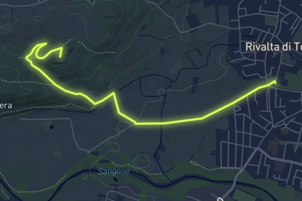
Medium · Summit
Rivalta – Cascina Camandana, bivio TOP201-TOP203
6.7 km · ↑ 104 m · 1 h 48 min · 13 km away
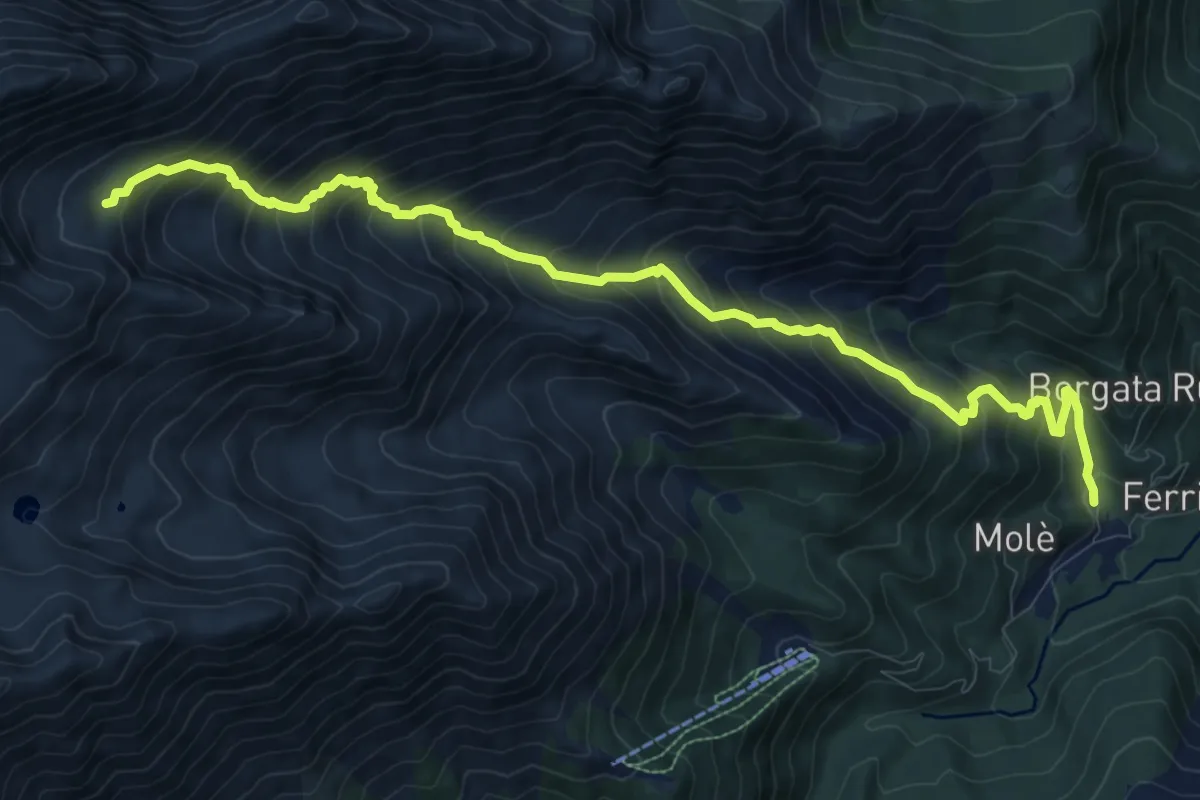
Demanding · Trail
Forno di Coazze, Borgata Prialli – Piano di Pian Reale, bivio TOS416-TOS418
12.4 km · ↑ 1216 m · 5 h 33 min · 13 km away
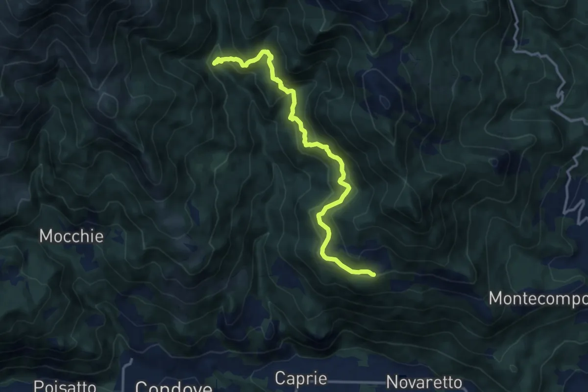
Medium · Cabin
Bivio 552-553, ponte sul Sessi – Bivio 553-571, Celle
11.5 km · ↑ 682 m · 4 h 12 min · 13 km away
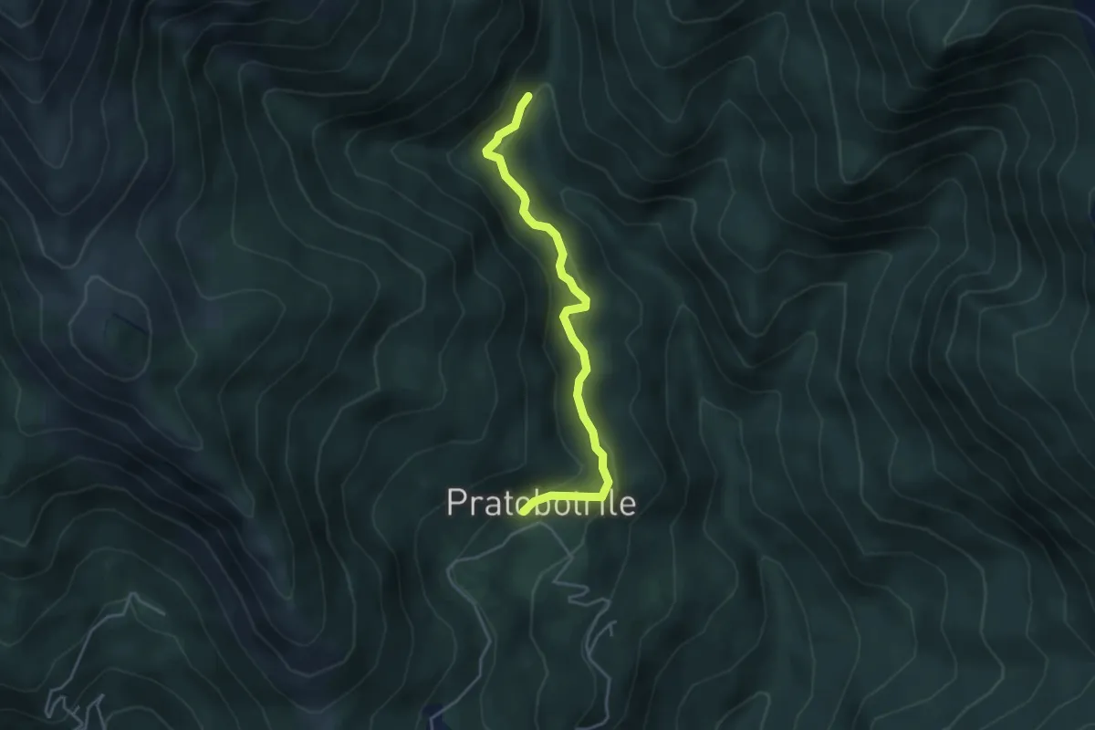
Medium · Trail
Bivio 552-552A – Bivio 552A-569, Pratobotrile
4.1 km · ↑ 189 m · 1 h 22 min · 13 km away
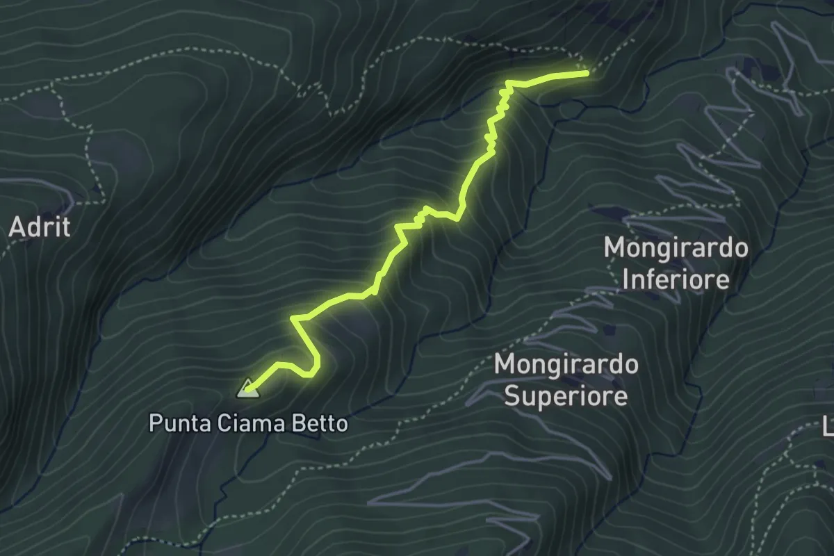
Medium · Summit
Bivio TOS512-TOS523 – Grange presso Certosa di Monte Benedetto
4.0 km · ↑ 413 m · 1 h 51 min · 14 km away
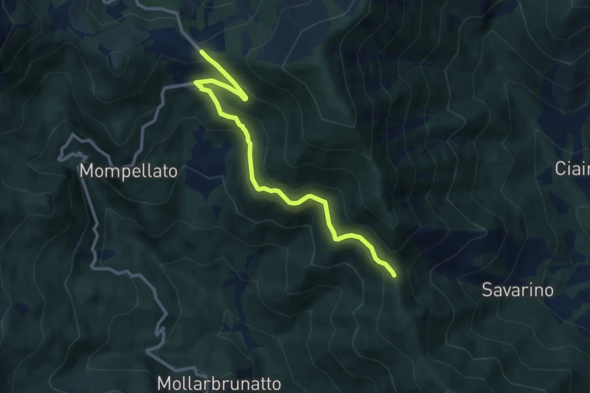
Medium · Trail
Bivio 570-570C, Colle del Lis – Bivio 011-570C, Madonna della Bassa
8.4 km · ↑ 400 m · 2 h 52 min · 14 km away
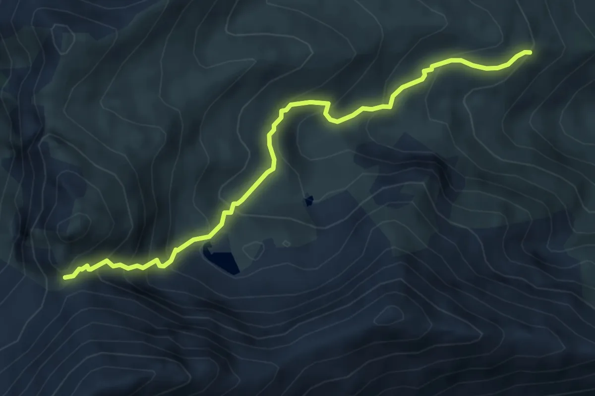
Medium · Trail
Punta Costabruna, bivio TOS443-TOS444 – Presso Alpe Giaveno, bivio TOS420-TOS433
6.0 km · ↑ 542 m · 2 h 35 min · 14 km away
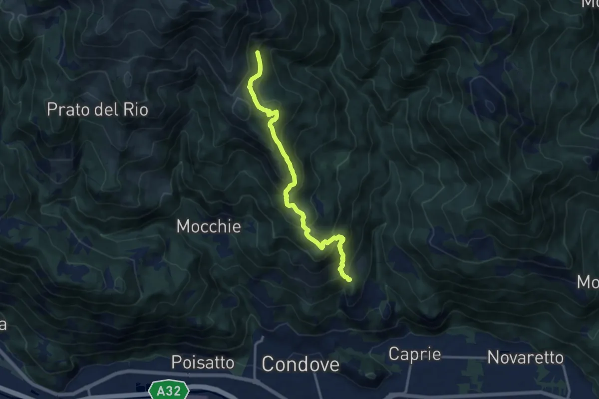
Medium · Trail
Bivio 549-569, borgata Sigliodo inferiore – Bivio 549-569, Alpe Salto del Bue
10.6 km · ↑ 766 m · 4 h 10 min · 14 km away
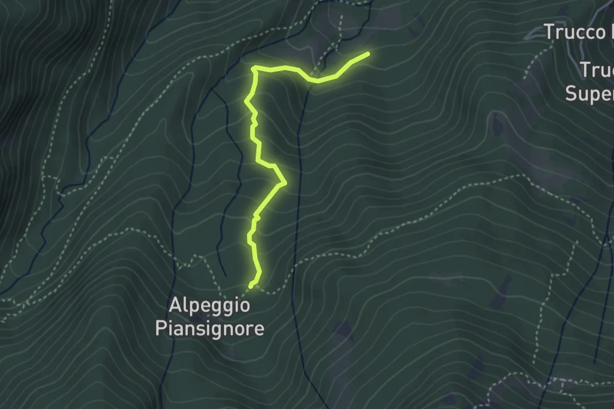
Medium · Trail
Certosa di Monte benedetto, bivio TOS524-TOS524B – Alpeggio basso di Piansignore, bivio TOS522-TOS524B
3.3 km · ↑ 261 m · 1 h 20 min · 14 km away
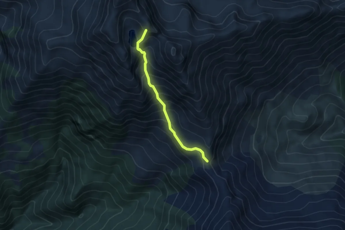
Demanding · Trail
Presso Lago Ruen, bivio TOS440-TOS364 – Colle La Roussa, bivio TOS364-TOS440
4.2 km · ↑ 512 m · 2 h 6 min · 14 km away
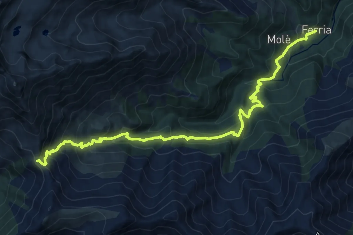
Demanding · Cabin
Forno di Coazze, Borgata Ferria – Colle La Roussa, bivio TOS414-TOS440
17.6 km · ↑ 1218 m · 6 h 48 min · 14 km away
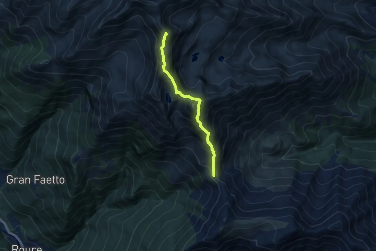
Demanding · Summit
Colle La Roussa, bivio TOS414-TOS440 – Monte Robinet, Capp. della Madonna degli Angeli, bivio TOS341-TOS440
7.4 km · ↑ 801 m · 3 h 29 min · 14 km away
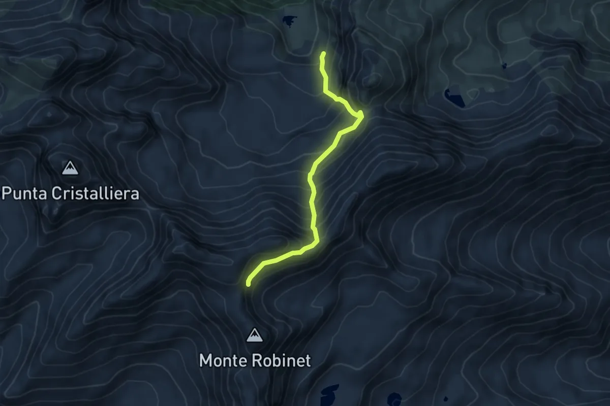
Medium · Trail
Lago Rosso, bivio TOS506-TOS506A – Presso Colle del Robinet, bivio TOS415-TOS506A
5.4 km · ↑ 654 m · 2 h 41 min · 14 km away
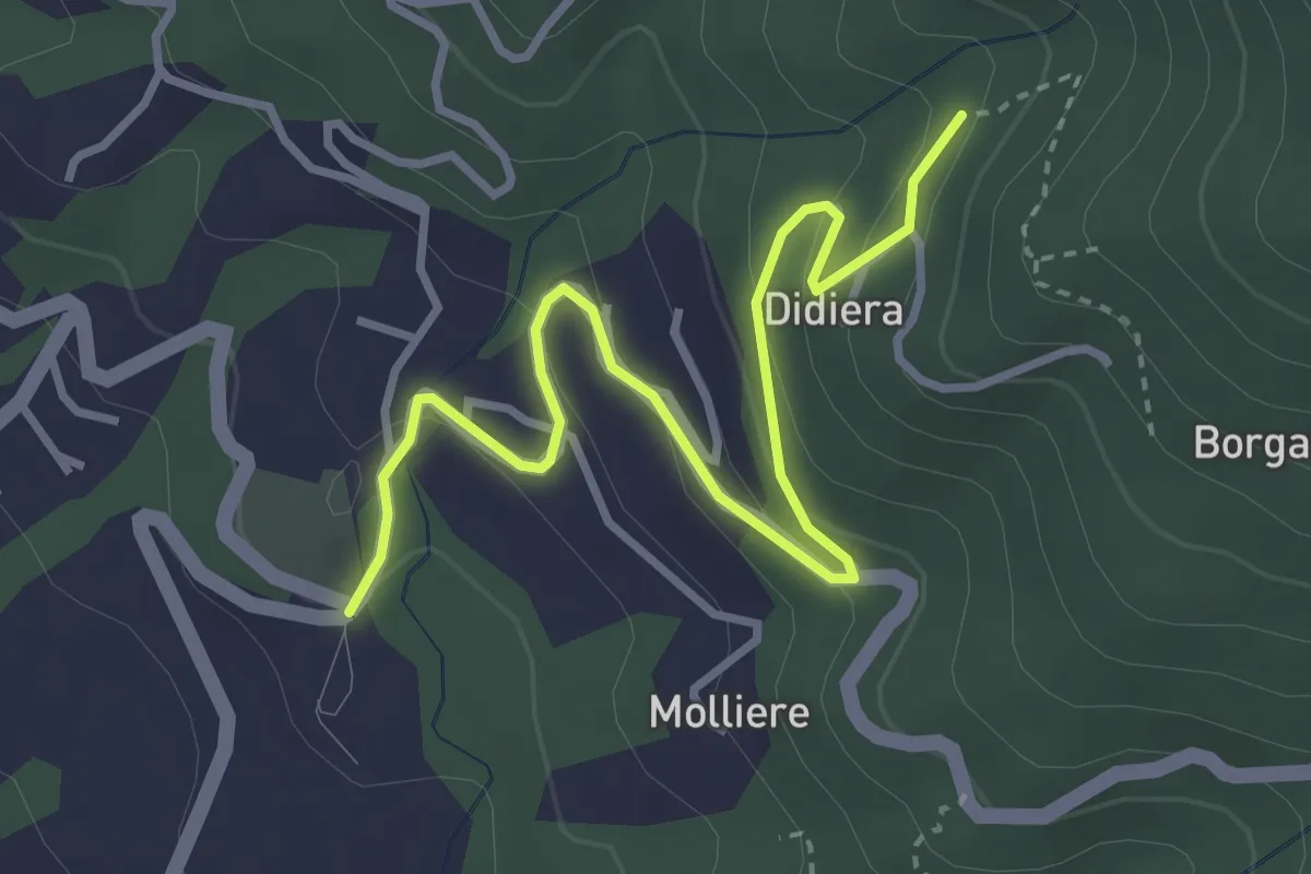
Easy · Trail
La Rul – Caserme Didiera, bivio TOS301-TOS309B
4.0 km · ↑ 176 m · 1 h 19 min · 14 km away
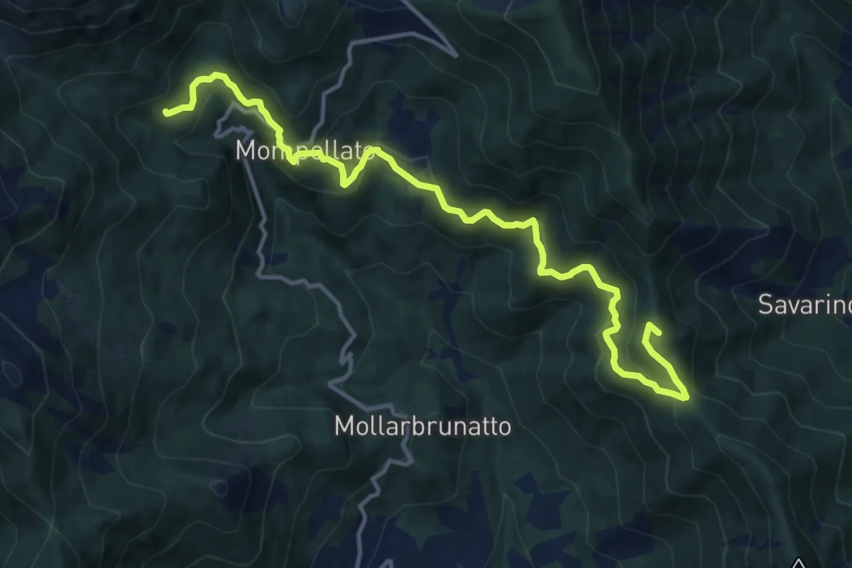
Demanding · Summit
Bivio 011-580, Bassa della Val – Bivio 570-580, Riva
13.8 km · ↑ 869 m · 5 h 9 min · 14 km away
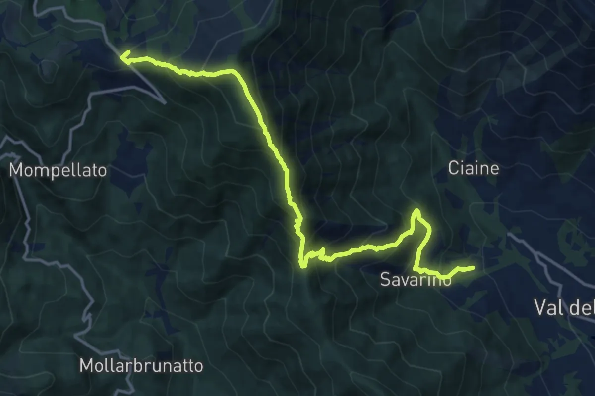
Demanding · Trail
Anello Ceronda - Tappa 3
13.6 km · ↑ 1265 m · 5 h 57 min · 14 km away
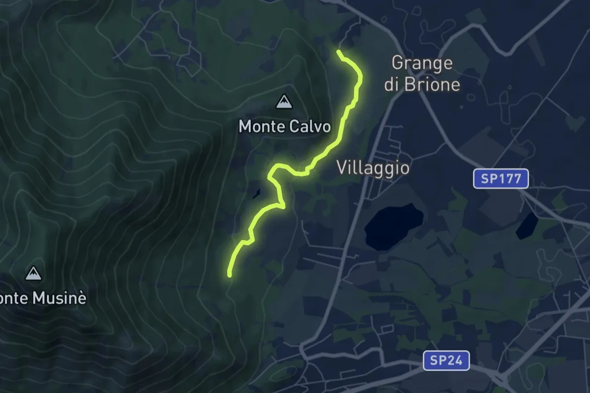
Easy · Trail
Brione, bivio TOS574A-TOS576 – Bivio TOS576-TOS572A
5.4 km · ↑ 131 m · 1 h 33 min · 14 km away
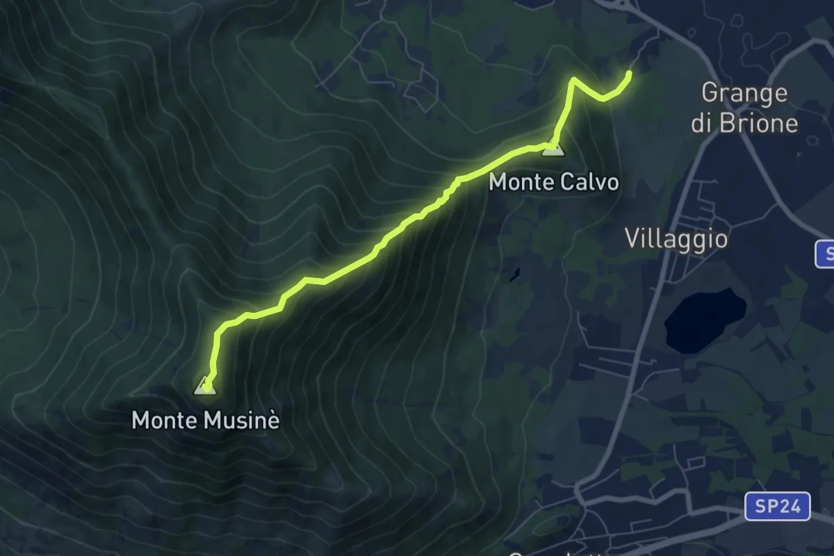
Medium · Summit
Brione – Bivio 572-572B-574, Monte Musiné
7.1 km · ↑ 795 m · 3 h 24 min · 14 km away
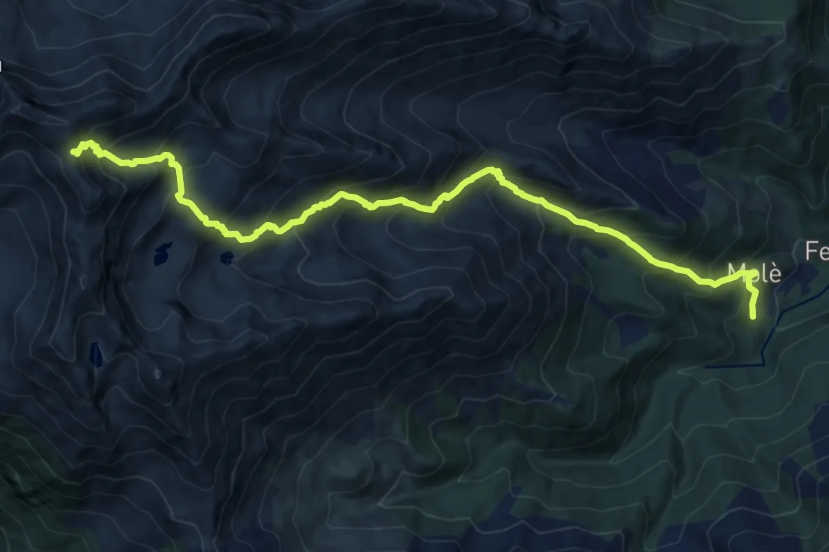
Demanding · Trail
Forno di Coazze, Borgata Molé, bivio TOS415 – Colletto Robinet, bivio TOS341-TOS415
15.7 km · ↑ 1573 m · 7 h 6 min · 15 km away
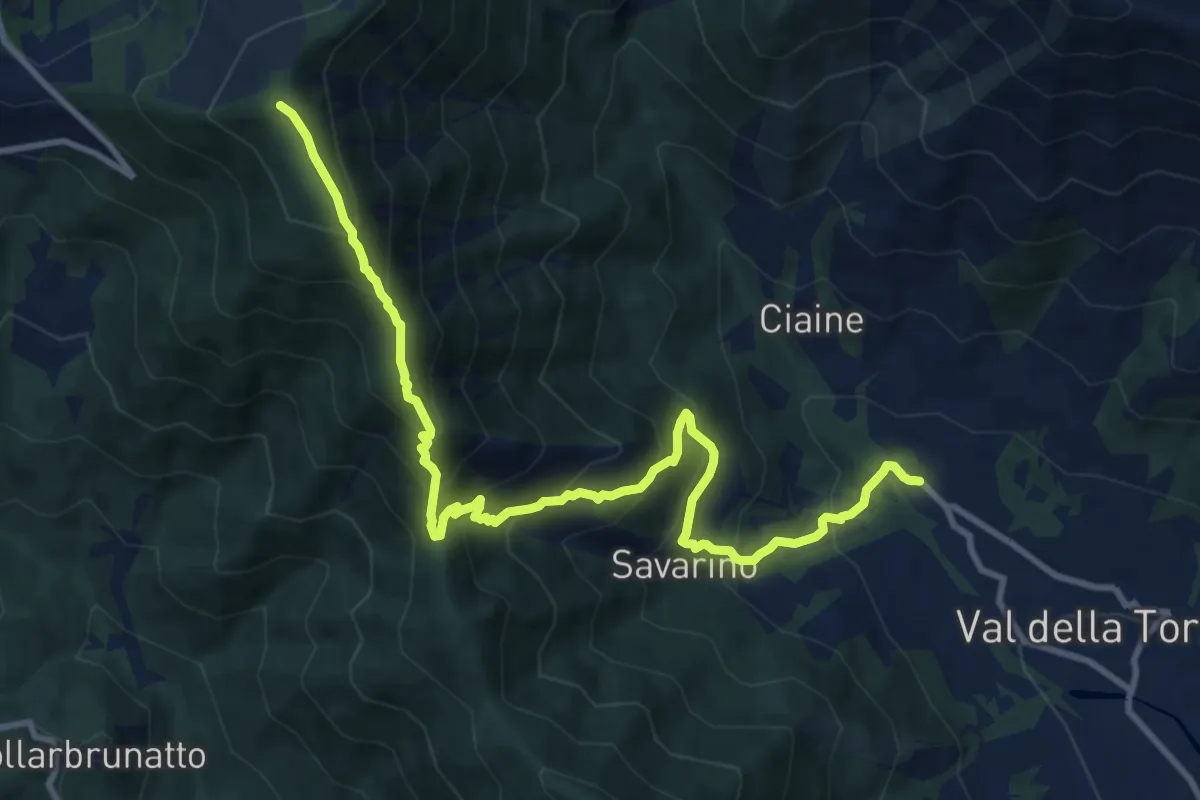
Demanding · Trail
Bivio 001-011, Malandrino – Bivio 002A-011, Monte Arpone
12.4 km · ↑ 1051 m · 5 h 13 min · 15 km away
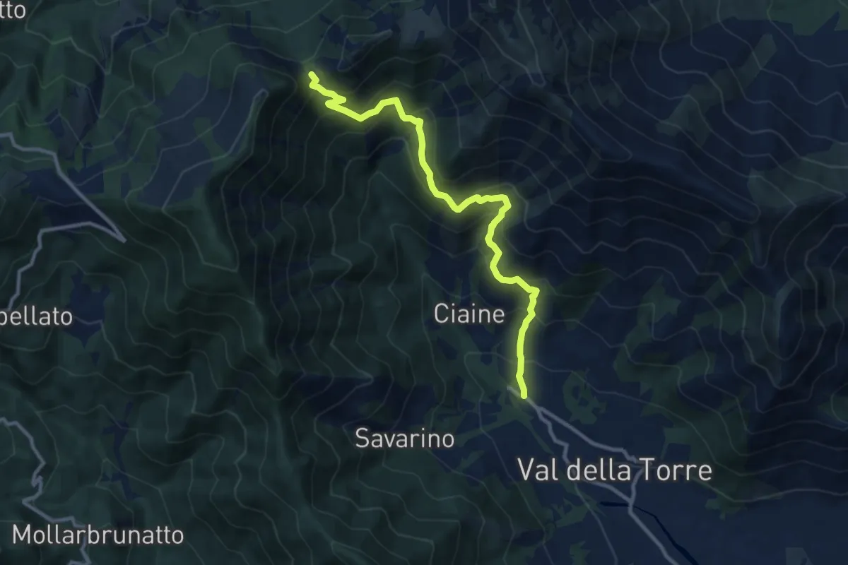
Demanding · Cabin
Val della Torre – Bivio 002-002A-012, Colle Portia
10.7 km · ↑ 832 m · 4 h 20 min · 15 km away
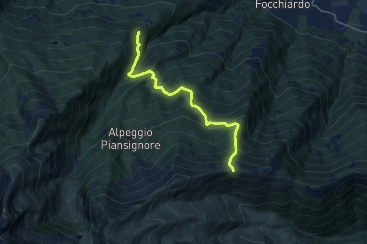
Demanding · Trail
San Giorio di Susa, Borgata Adret – Colletto di Pian dell'Orso
11.1 km · ↑ 938 m · 4 h 40 min · 15 km away
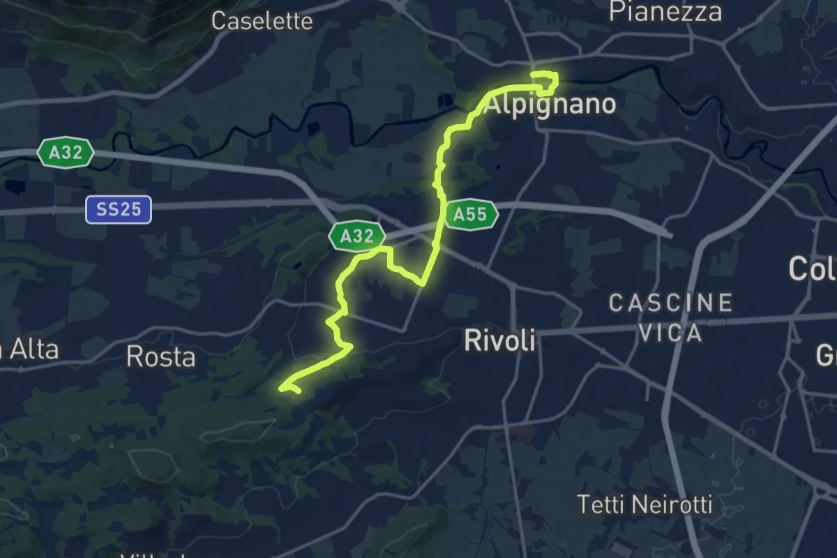
Medium · Trail
Alpignano – Cascina Camandana, bivio TOP201-TOP203
15.9 km · ↑ 218 m · 4 h 14 min · 15 km away
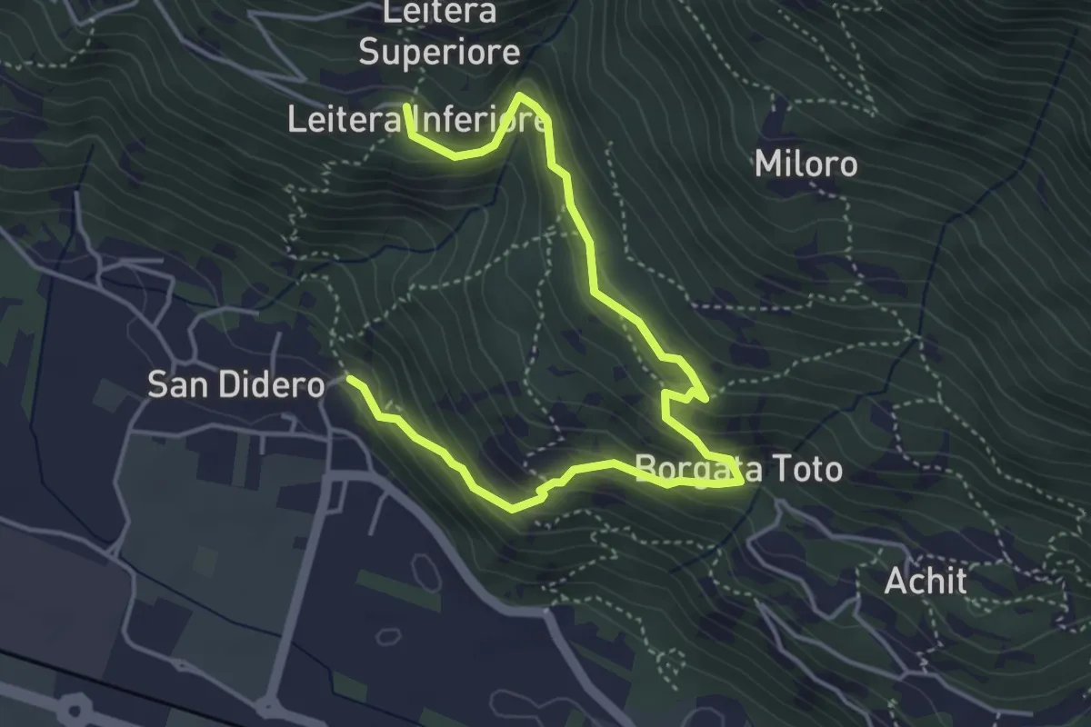
Medium · Trail
Bivio 564-564B, San Didero – Bivio 564-564B, Leitera Inferiore
5.3 km · ↑ 348 m · 2 h · 15 km away
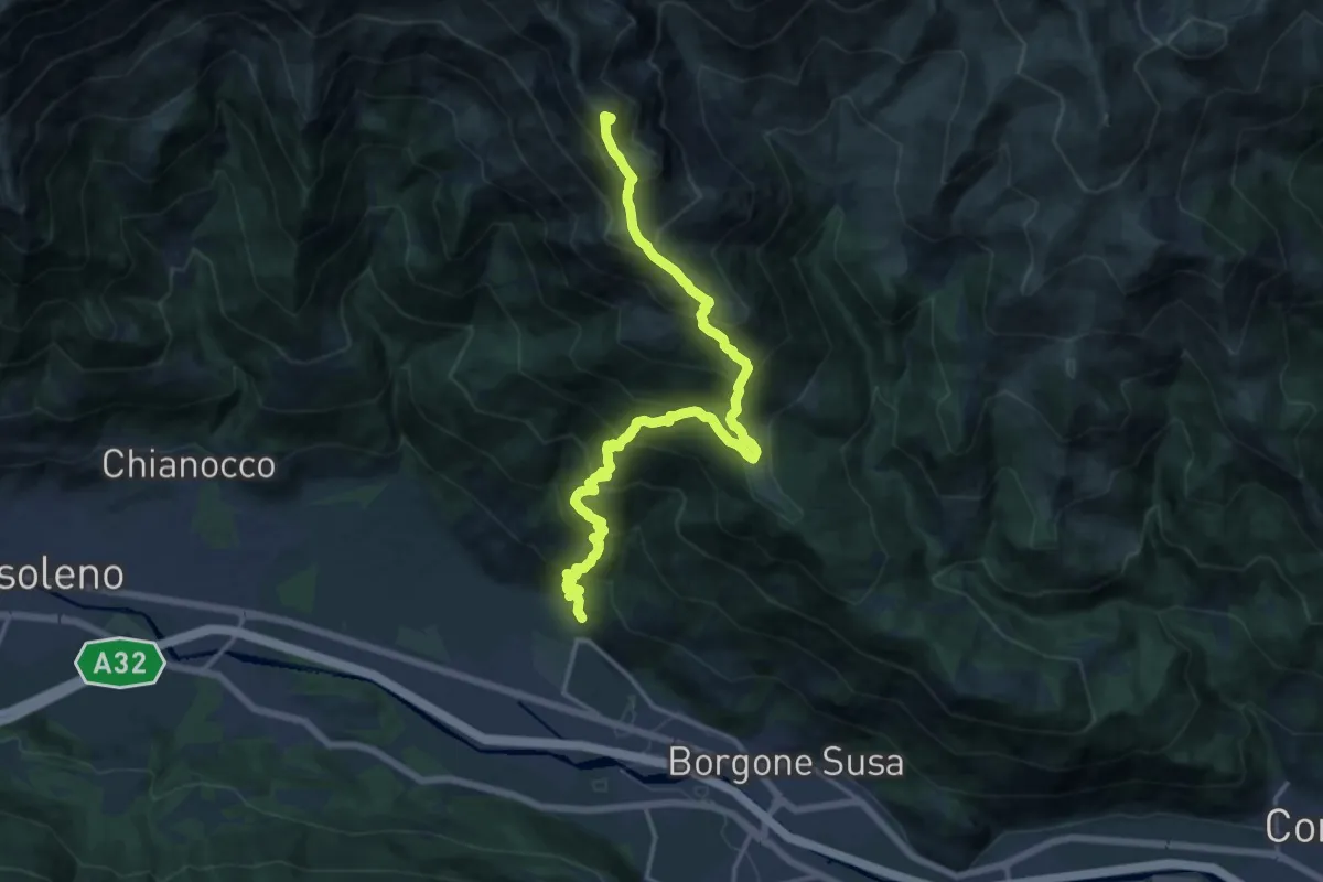
Demanding · Summit
Bivio 564-564B, San Didero – Cima Rocca Patanua
18.0 km · ↑ 1921 m · 8 h 25 min · 15 km away
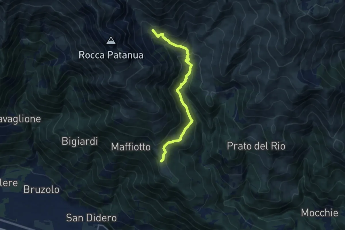
Medium · Trail
Bivio 547-548-564, Prarotto – Bivio 547-564A, Alpe Pra Buret
10.4 km · ↑ 664 m · 3 h 53 min · 15 km away
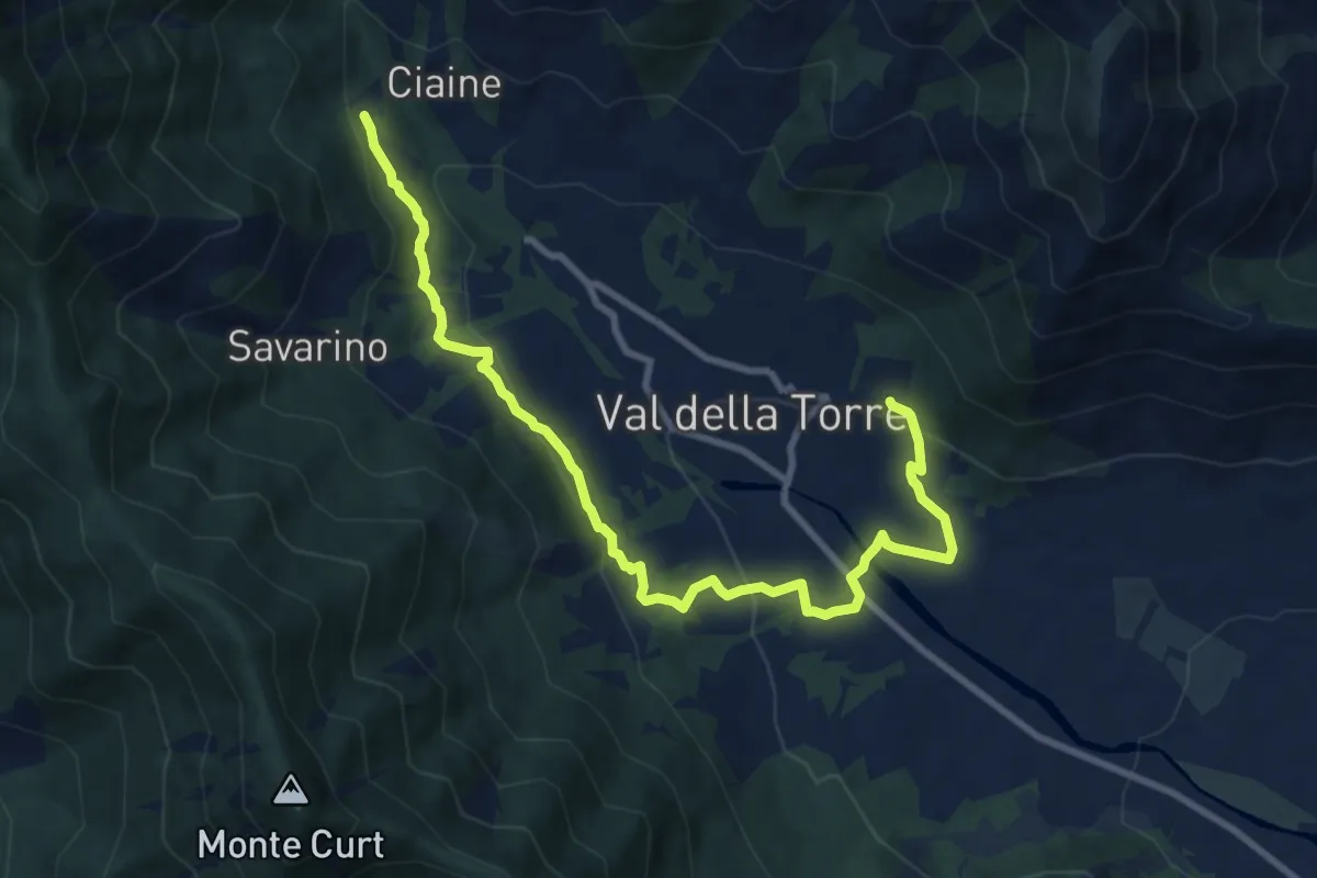
Medium · Trail
Bivio 001-001A, San Donato – Bivio 001-001A, Burlera
10.9 km · ↑ 399 m · 3 h 27 min · 15 km away
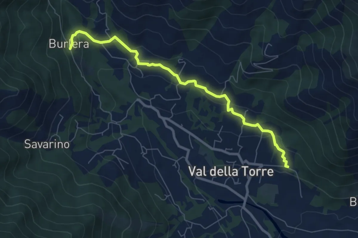
Easy · Trail
Bivio 001-001A, Chiesa San Donato – Bivio 001-001A, Burlera
6.8 km · ↑ 237 m · 2 h 7 min · 15 km away