Trails near Giussano
86 hikes starting within 15 km, nearest first.
Nearest first, page 2 of 2
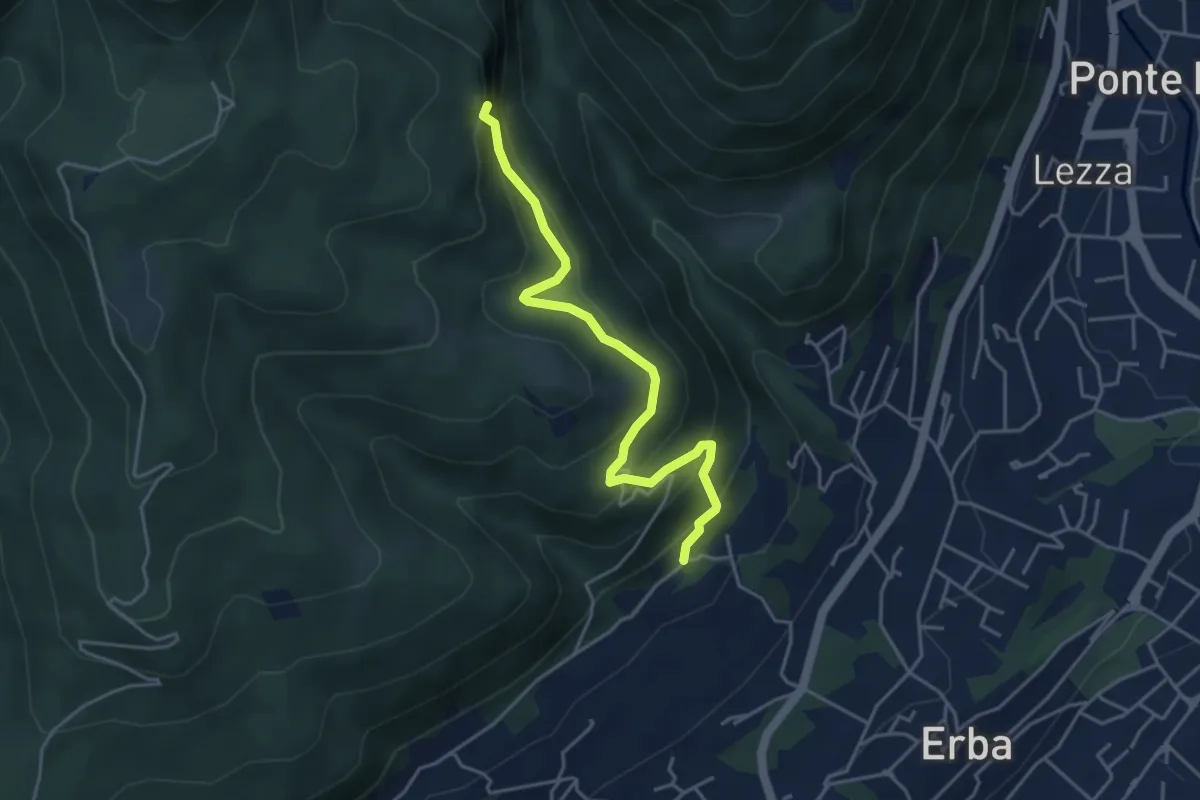
Medium · Trail
C.na Paradiso – Buco del Piombo
4.4 km · ↑ 324 m · 1 h 44 min · 13 km away
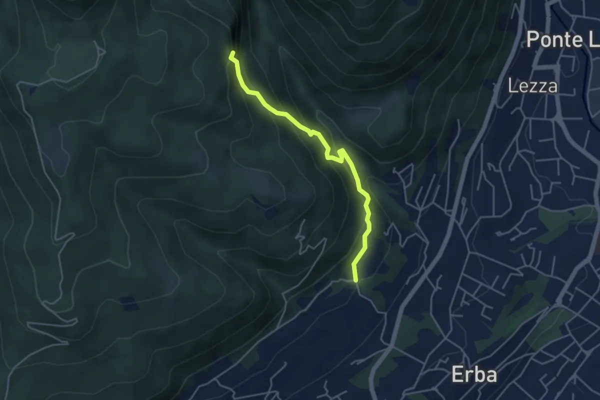
Demanding · Trail
C.na Ginocchio – Buco del Piombo
3.7 km · ↑ 335 m · 1 h 36 min · 13 km away
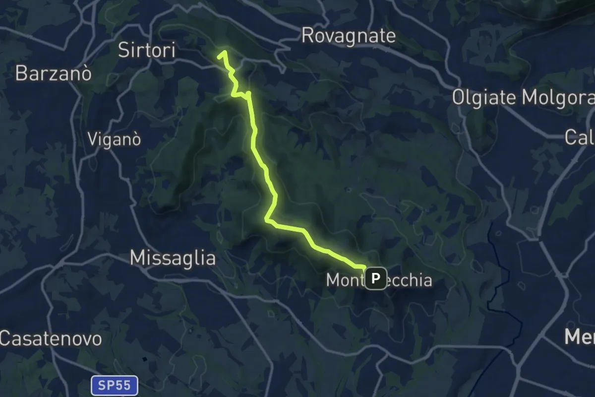
Medium · Summit
Ceregallo – Montevecchia alta
10.2 km · ↑ 305 m · 3 h 5 min · 13 km away
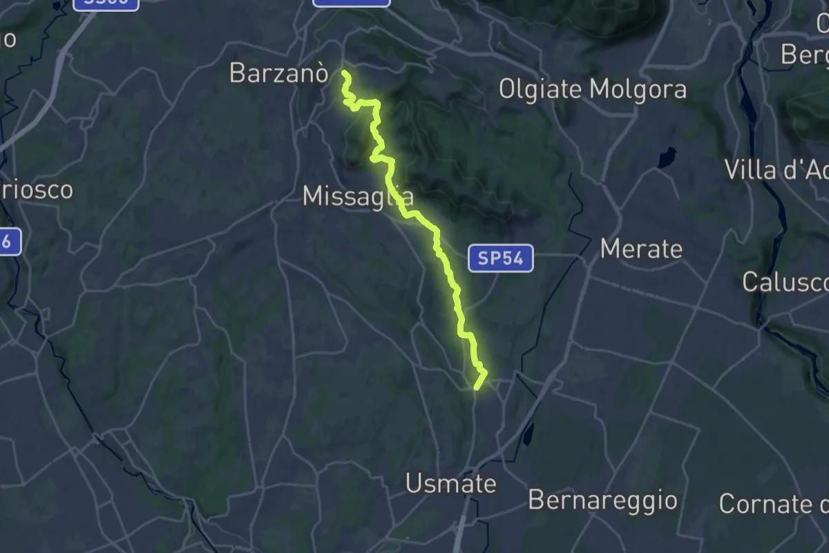
Demanding · Trail
Sirtori – Lomagna
20.3 km · ↑ 429 m · 5 h 43 min · 13 km away
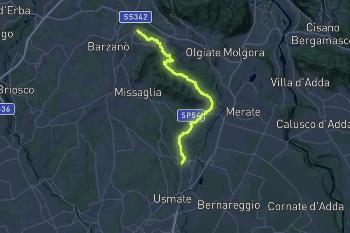
Demanding · Trail
Ceregallo – Lomagna
27.3 km · ↑ 443 m · 7 h 24 min · 13 km away
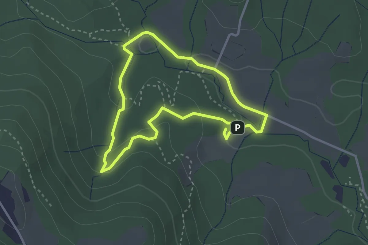
Easy · Trail
Percorso delle sorgenti petrificanti
2.5 km · ↑ 73 m · 46 min · 13 km away
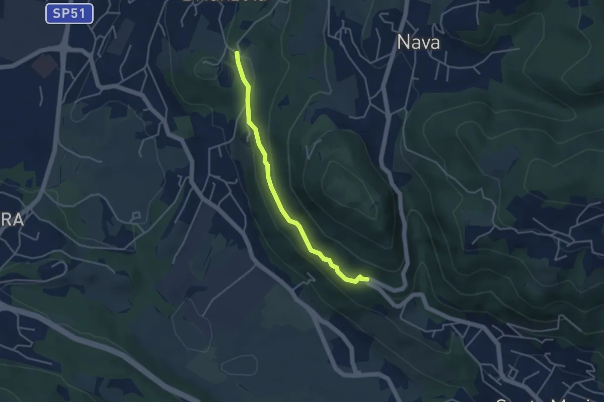
Easy · Trail
Brianzola – Ceppetto
3.3 km · ↑ 108 m · 1 h 1 min · 13 km away
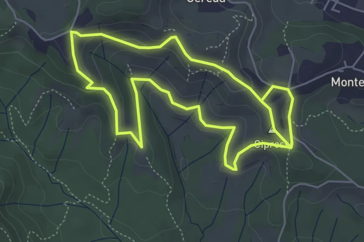
Easy · Summit
Percorso dei prati magri
4.5 km · ↑ 154 m · 1 h 28 min · 13 km away
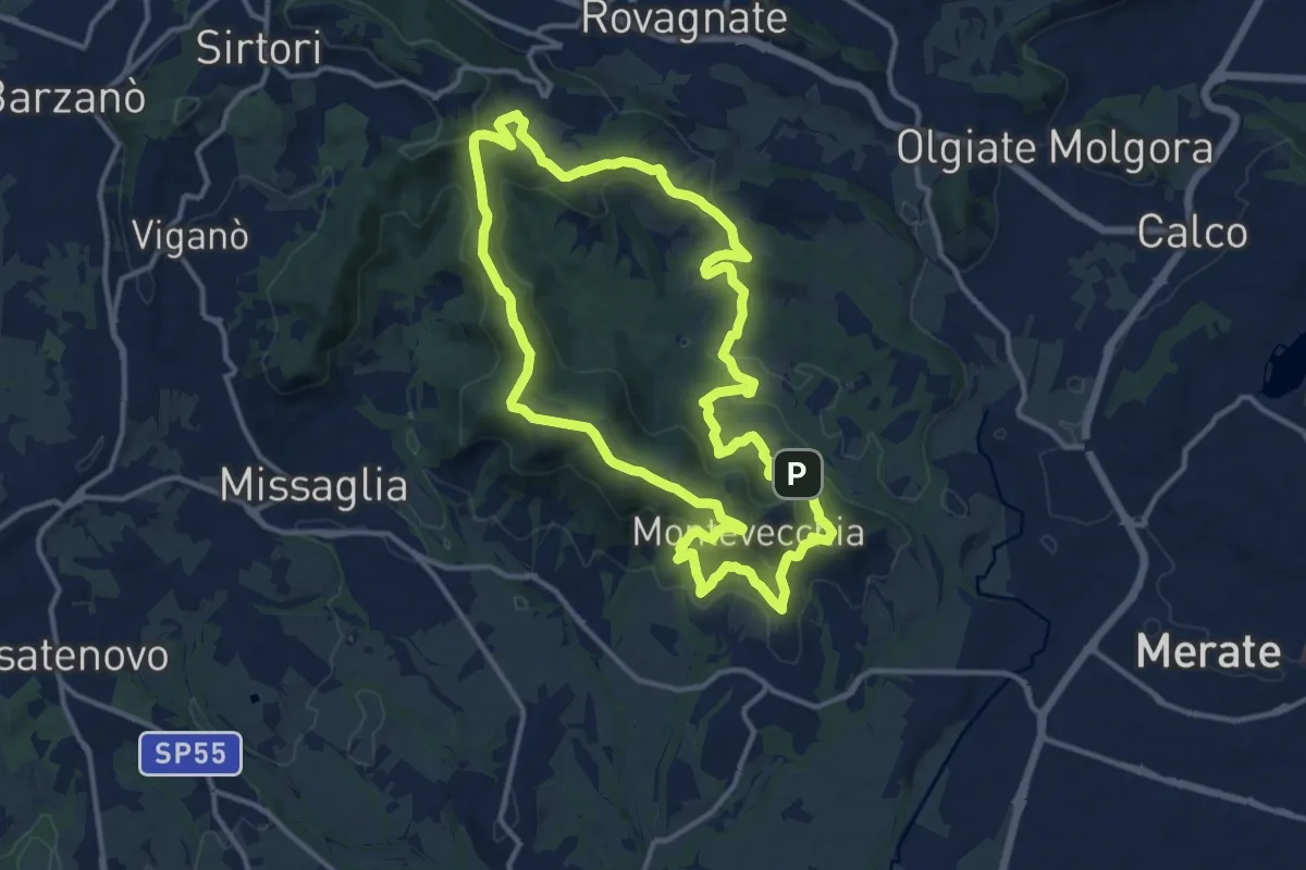
Medium · Summit
Percorso geologico
13.3 km · ↑ 473 m · 4 h 22 min · 13 km away
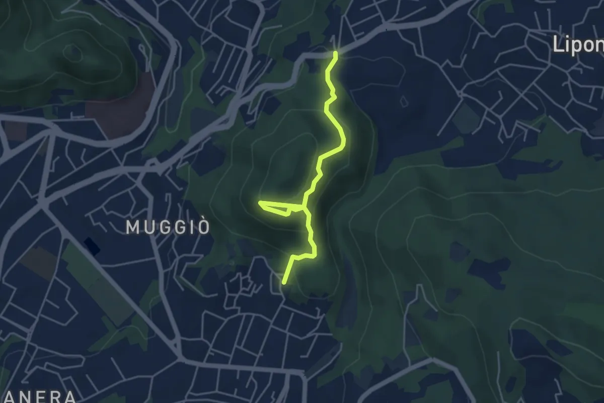
Easy · Trail
Sentiero del Monte Goj
4.1 km · ↑ 268 m · 1 h 33 min · 13 km away
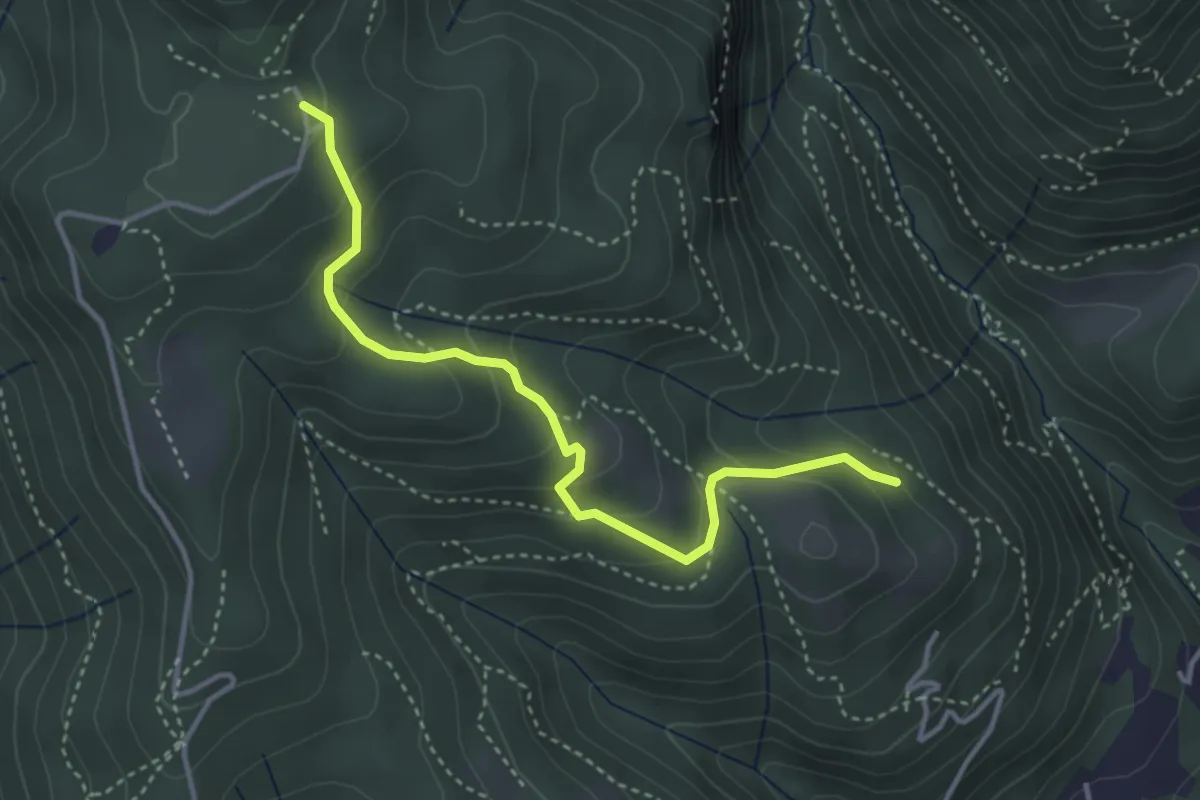
Medium · Trail
Cardögia – Alpe del Vicerè
3.8 km · ↑ 238 m · 1 h 25 min · 13 km away
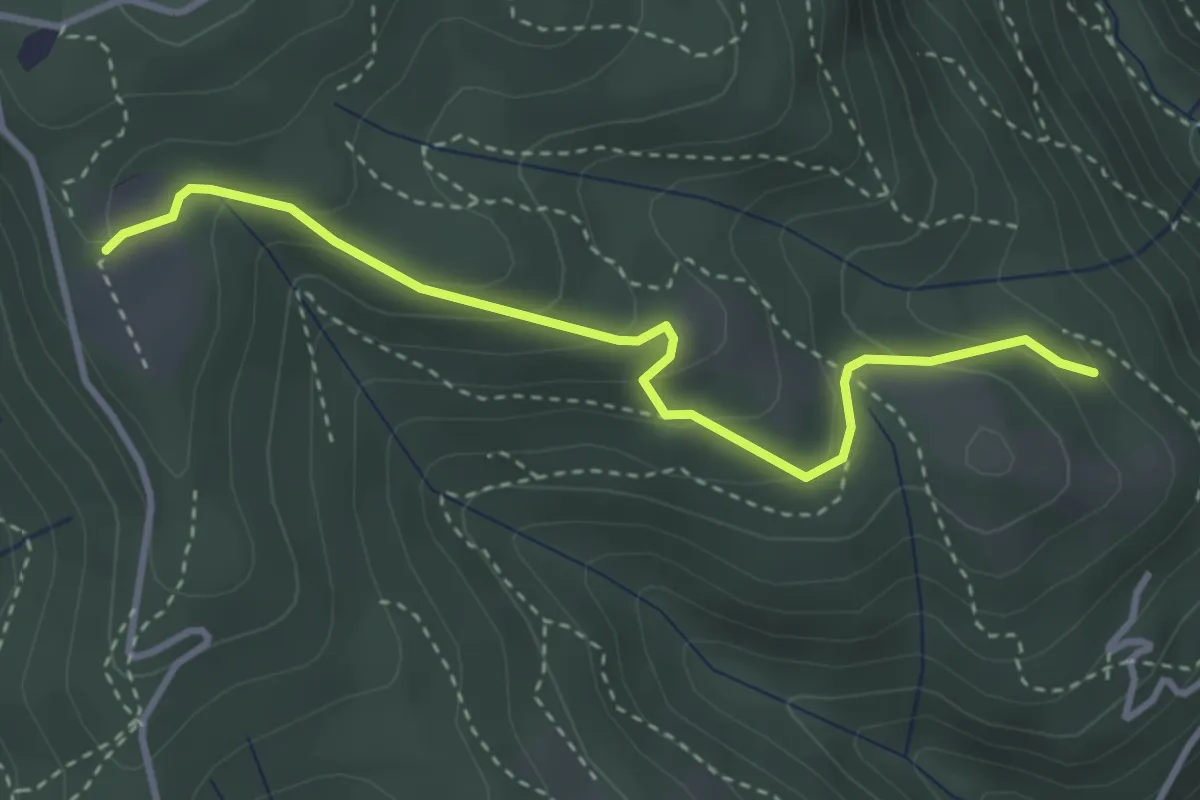
Easy · Trail
Cardögia – Ex Albergo la Salute
3.5 km · ↑ 186 m · 1 h 14 min · 13 km away
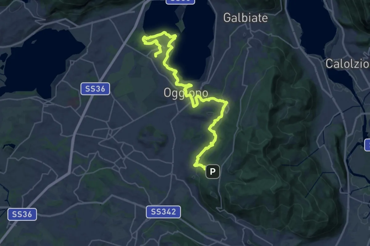
Medium · Trail
Antico Percorso di Fede dell'Alta Brianza
14.0 km · ↑ 200 m · 4 h 4 min · 14 km away
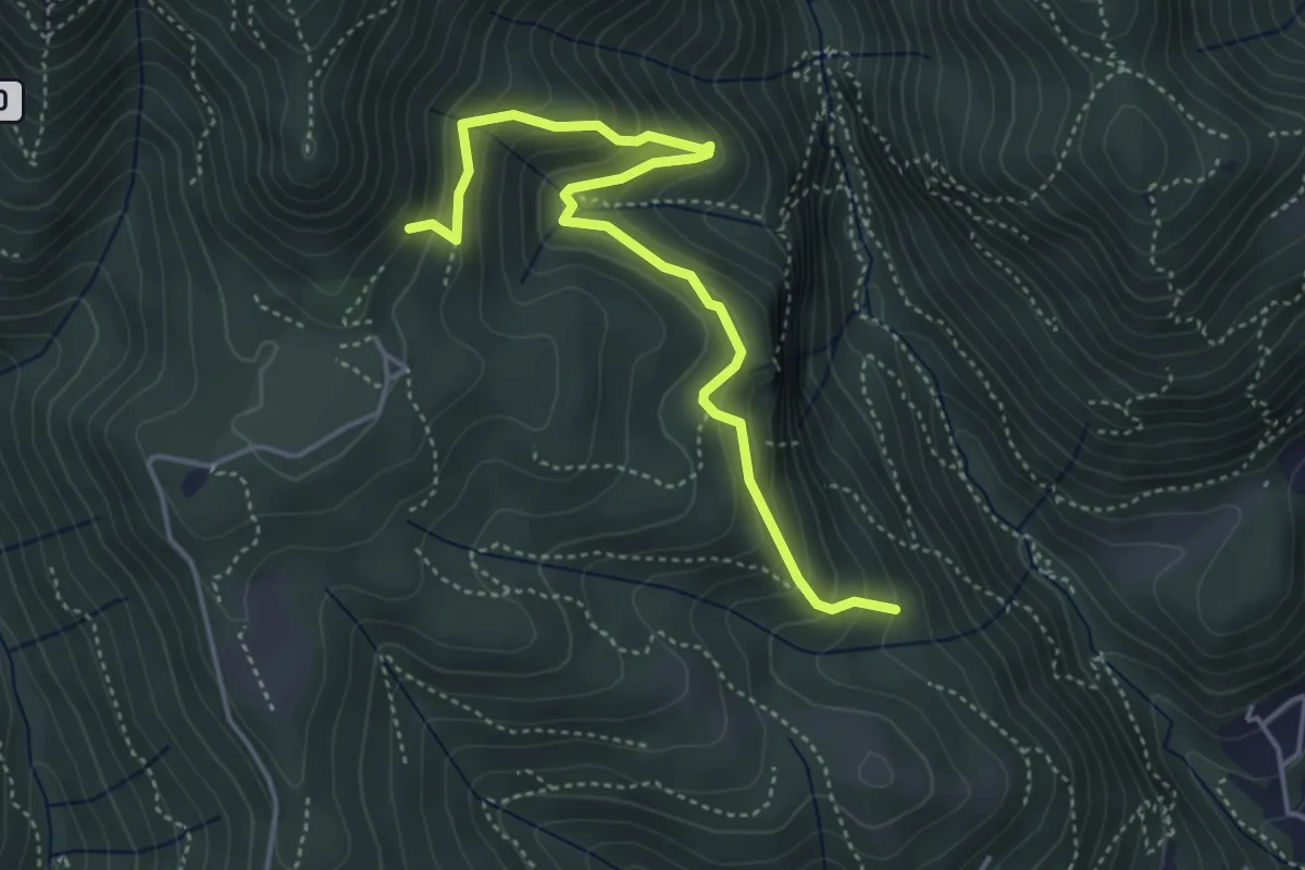
Medium · Trail
Praa Sciresöö – Rifugio Cacciatori
4.8 km · ↑ 479 m · 2 h 10 min · 14 km away
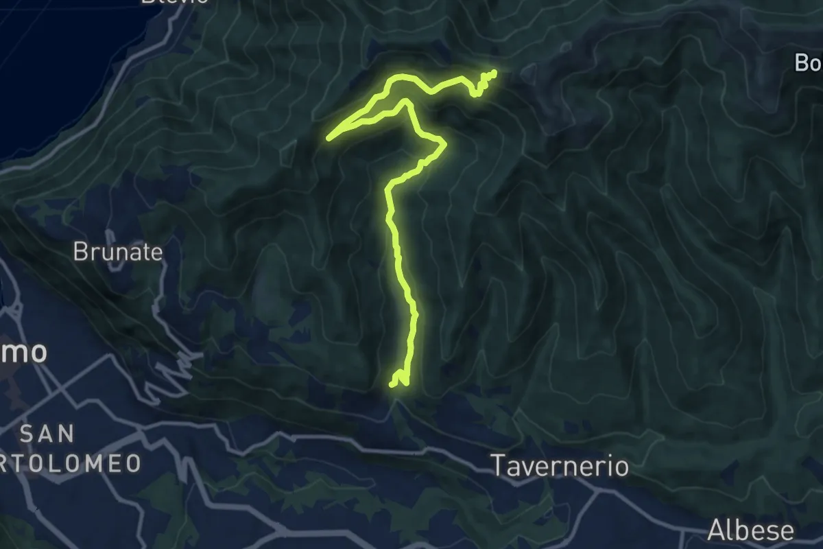
Medium · Trail
Ponzate – Baita Fabrizio
12.4 km · ↑ 721 m · 4 h 29 min · 14 km away
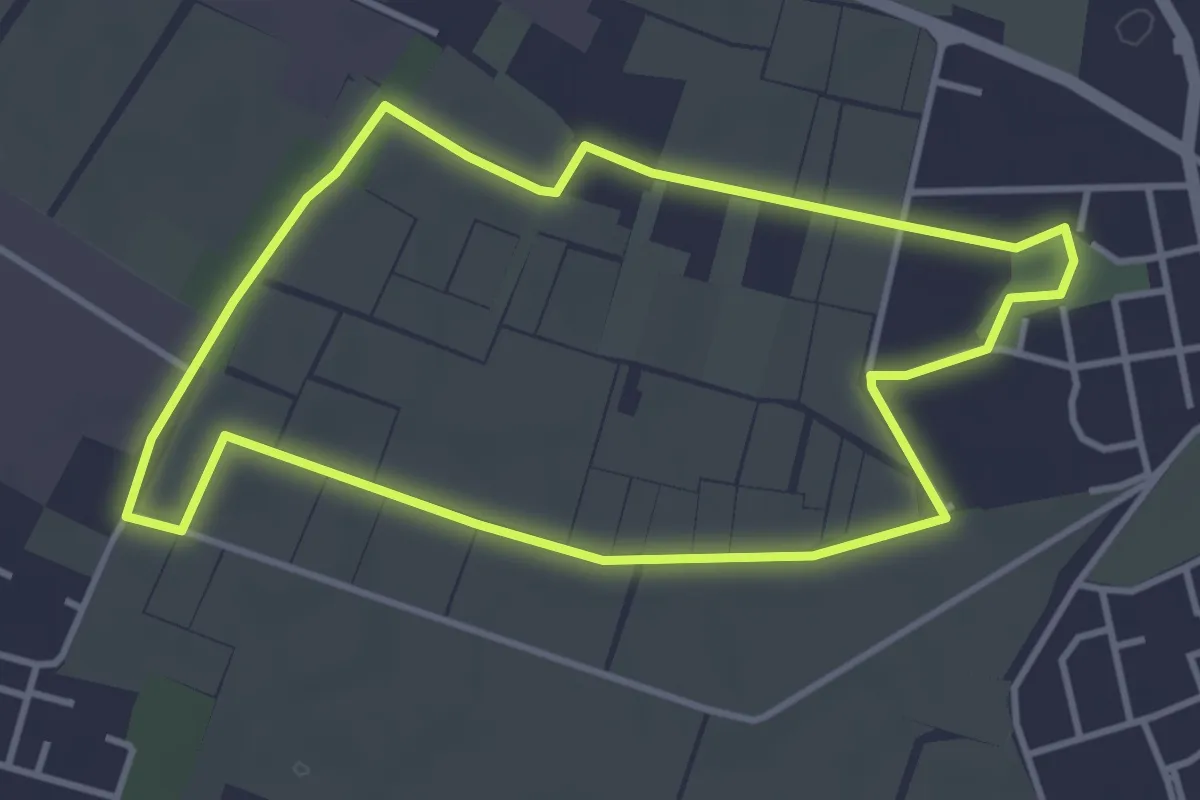
Easy · Trail
Il giro della Cavallera
3.8 km · ↑ 4 m · 58 min · 14 km away
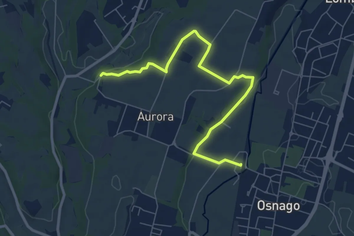
Easy · Trail
Osnago – Torrente Curone
6.8 km · ↑ 43 m · 1 h 42 min · 14 km away
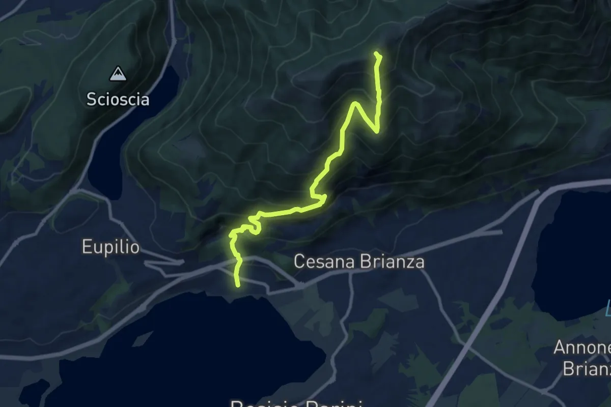
Demanding · Summit
Pusiano – Monte Cornizzolo
9.6 km · ↑ 1053 m · 4 h 32 min · 14 km away
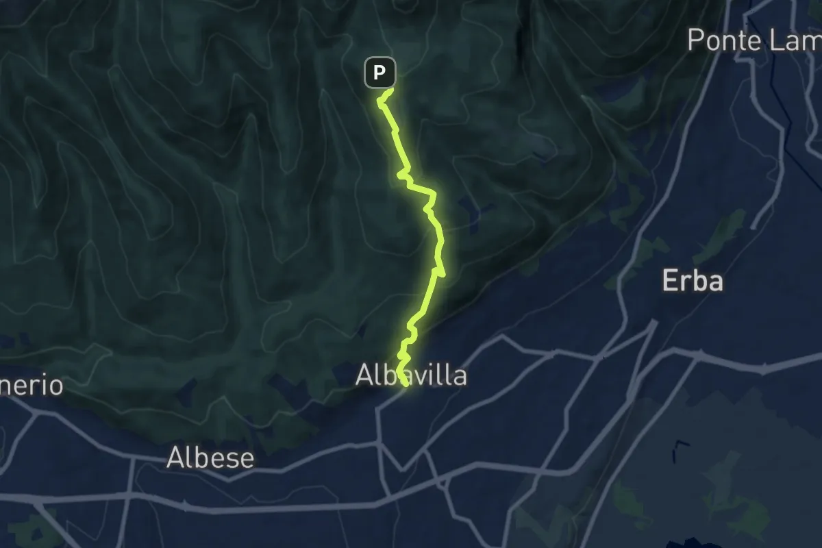
Medium · Trail
Sentiero degli Alpini
6.5 km · ↑ 474 m · 2 h 33 min · 14 km away
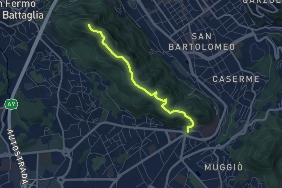
Easy · Summit
Dorsale collinare
6.0 km · ↑ 250 m · 1 h 58 min · 14 km away
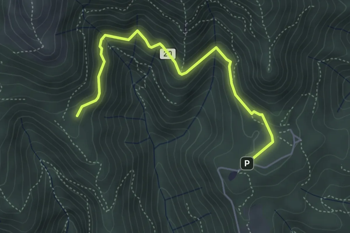
Medium · Trail
Sentiero 20: Alpe del Viceré - Baita Patrizi
4.8 km · ↑ 275 m · 1 h 44 min · 14 km away
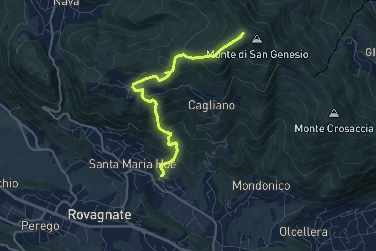
Medium · Summit
Tremonte – Monte di San Genesio
7.4 km · ↑ 475 m · 2 h 47 min · 14 km away
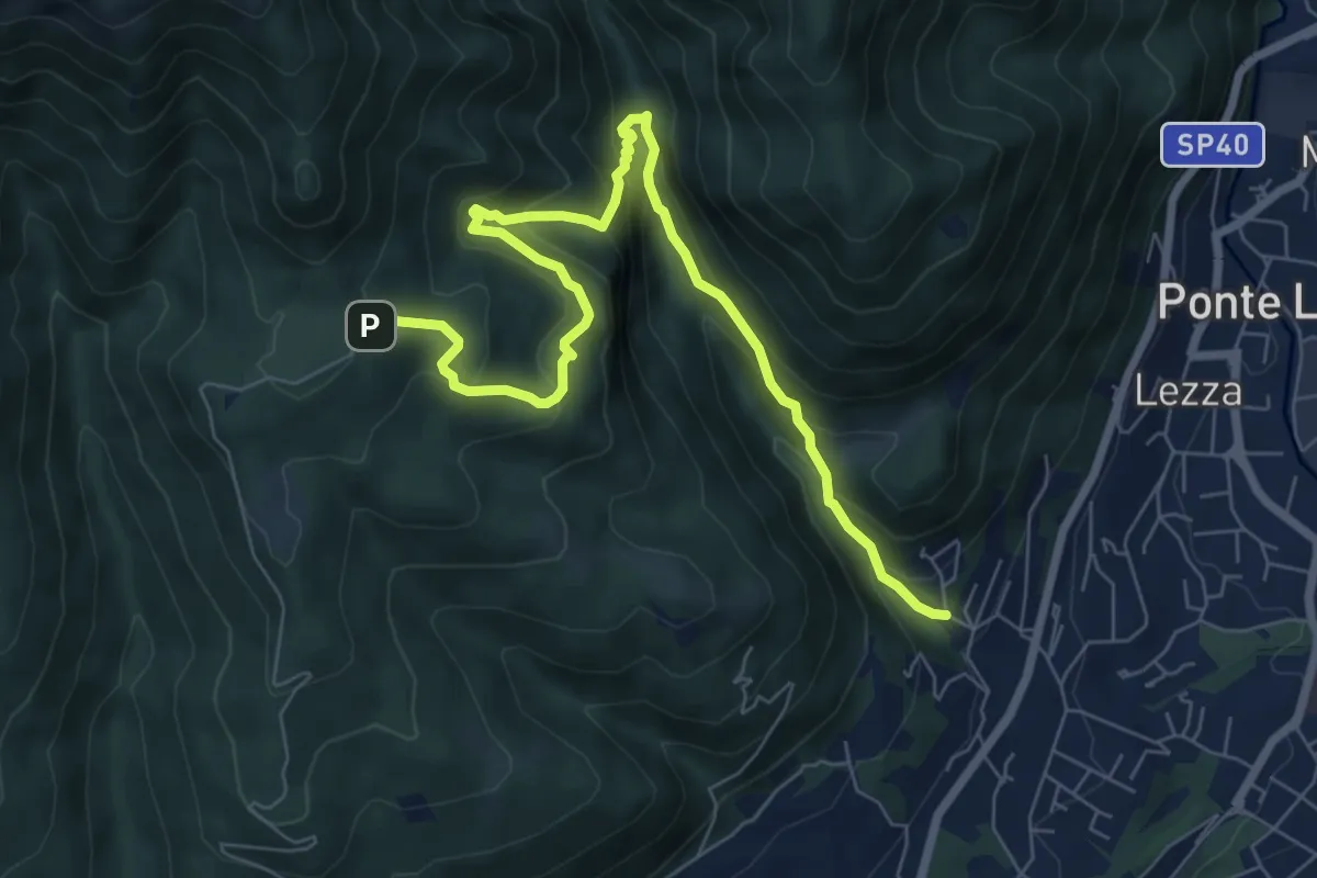
Demanding · Trail
Ca Nova – Alpe Vicerè
8.5 km · ↑ 602 m · 3 h 18 min · 14 km away
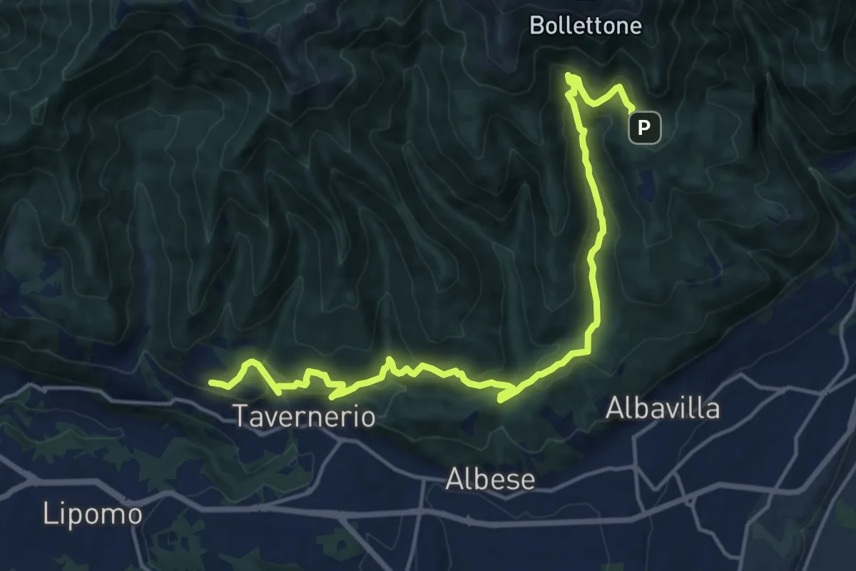
Demanding · Trail
Caslascio (Tavernerio) – Alpe del Vicerè
17.7 km · ↑ 819 m · 5 h 57 min · 14 km away
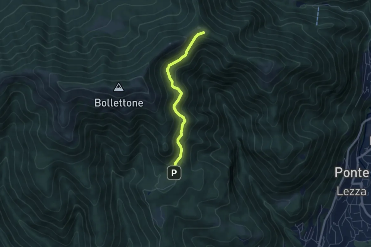
Easy · Cabin
Sentiero 23: Alpe del Vicerè - Rifugio Cacciatori - Capanna Mara
4.9 km · ↑ 303 m · 1 h 48 min · 14 km away
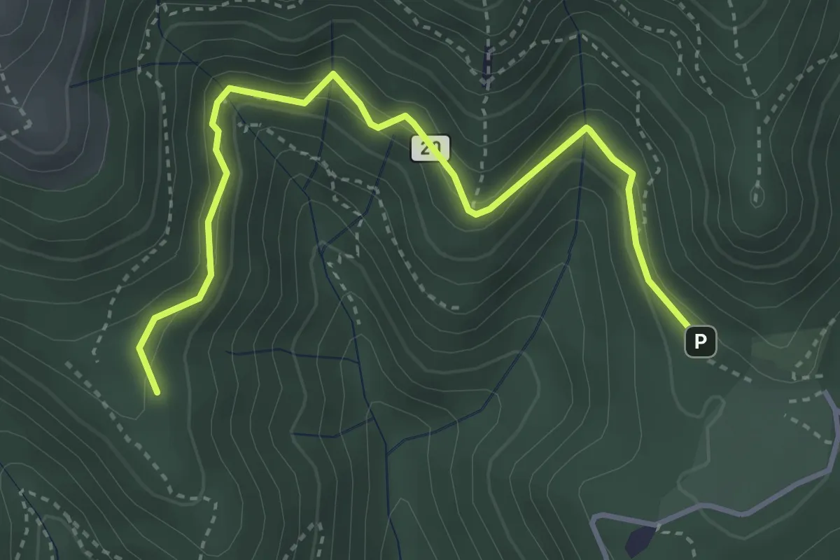
Medium · Trail
Alpe del Vicerè – Baita Patrizi
4.1 km · ↑ 256 m · 1 h 31 min · 14 km away
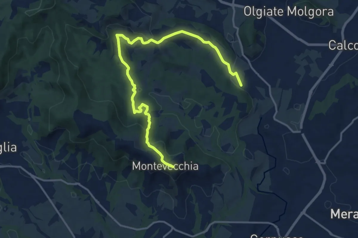
Medium · Summit
Cernusco Lombardone (FS) – Beolco
12.4 km · ↑ 430 m · 3 h 52 min · 14 km away
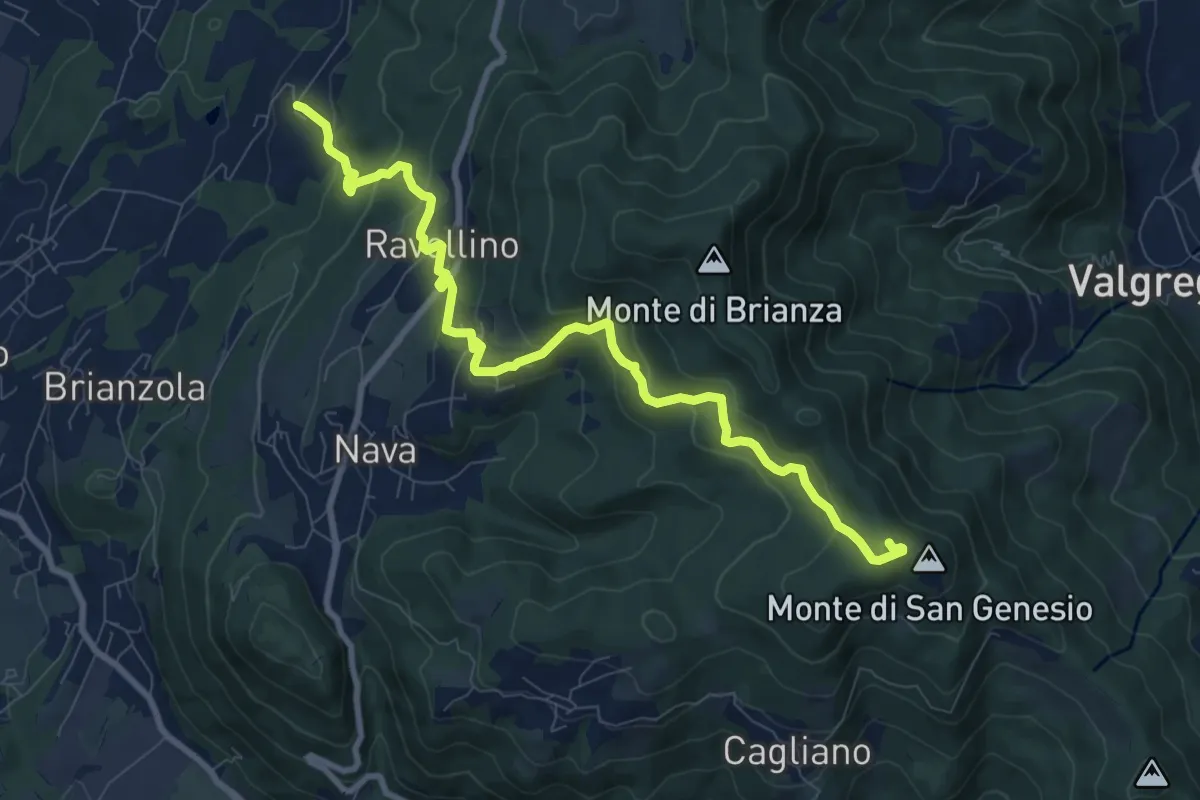
Medium · Summit
Marconaga – Monte di San Genesio
9.9 km · ↑ 516 m · 3 h 28 min · 14 km away
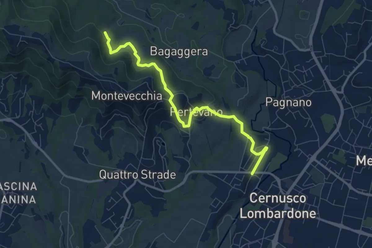
Medium · Trail
Percorso stazione
8.4 km · ↑ 261 m · 2 h 32 min · 15 km away
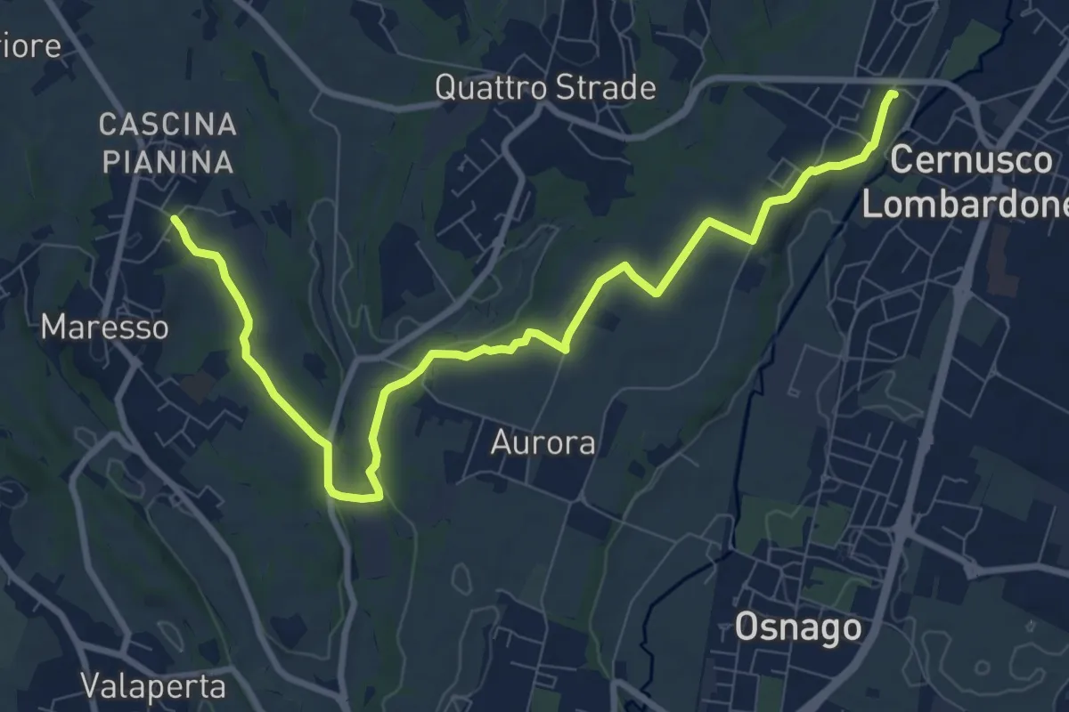
Medium · Trail
Cernusco Lombardone (FS) – Maresso
10.5 km · ↑ 100 m · 2 h 42 min · 15 km away
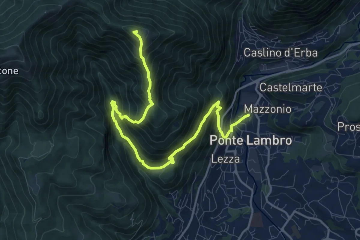
Demanding · Summit
Ponte Lambro – Monte Puscio
11.7 km · ↑ 1032 m · 5 h · 15 km away
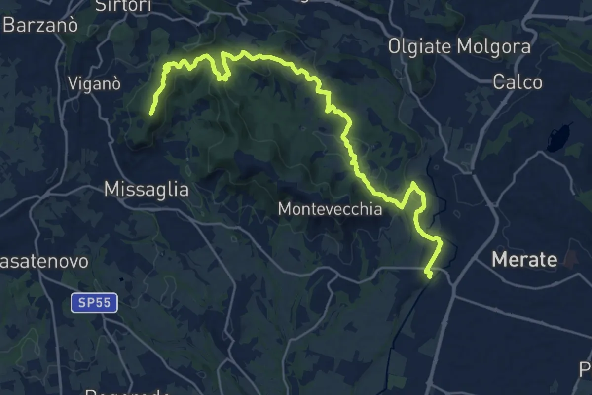
Demanding · Summit
Cernusco Lombardone (FS) – Missaglia
21.8 km · ↑ 575 m · 6 h 23 min · 15 km away
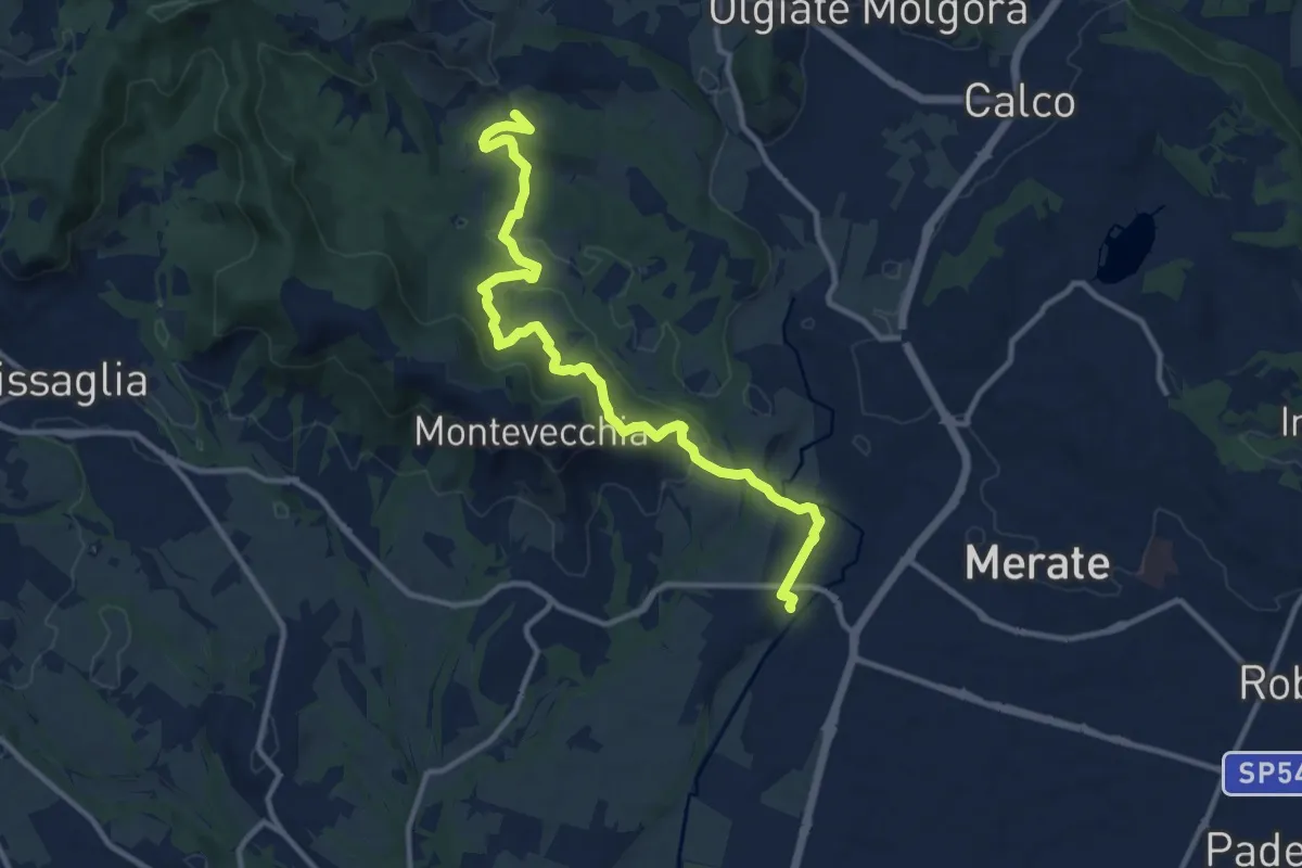
Medium · Summit
Cernusco Lombardone (FS) – Perego
12.5 km · ↑ 409 m · 3 h 51 min · 15 km away
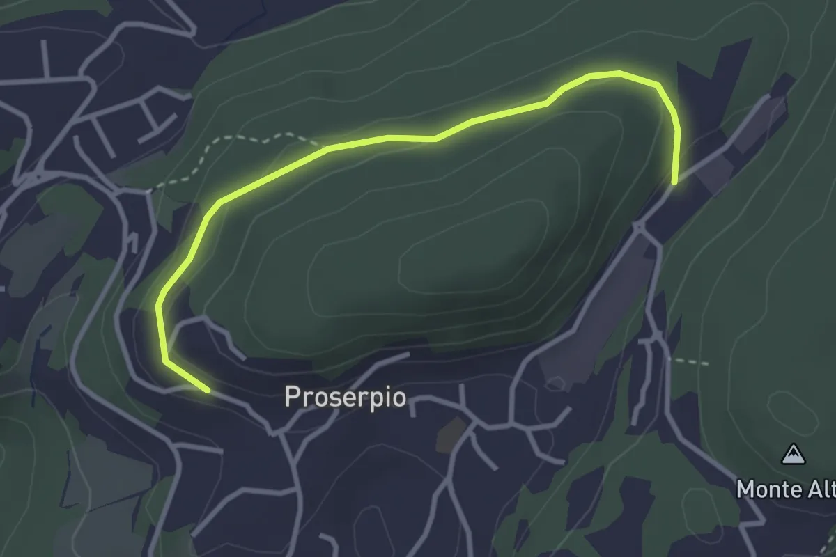
Easy · Trail
Rusera (Proserpio) – Zona industriale di Proseprio
3.1 km · ↑ 50 m · 51 min · 15 km away
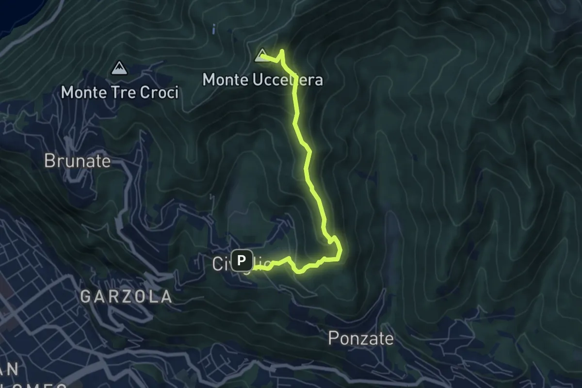
Medium · Summit
Civiglio – CAO
6.1 km · ↑ 379 m · 2 h 15 min · 15 km away
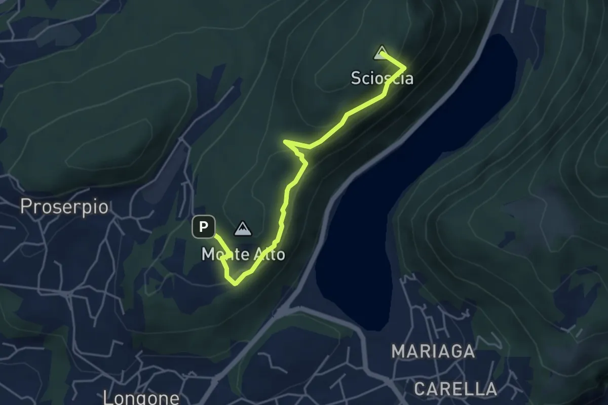
Demanding · Summit
Inarca (Proserpio) – Monte Scioscia
4.3 km · ↑ 243 m · 1 h 33 min · 15 km away
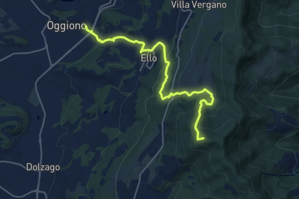
Medium · Summit
Oggiono – Monte Crocione
11.5 km · ↑ 618 m · 4 h 3 min · 15 km away
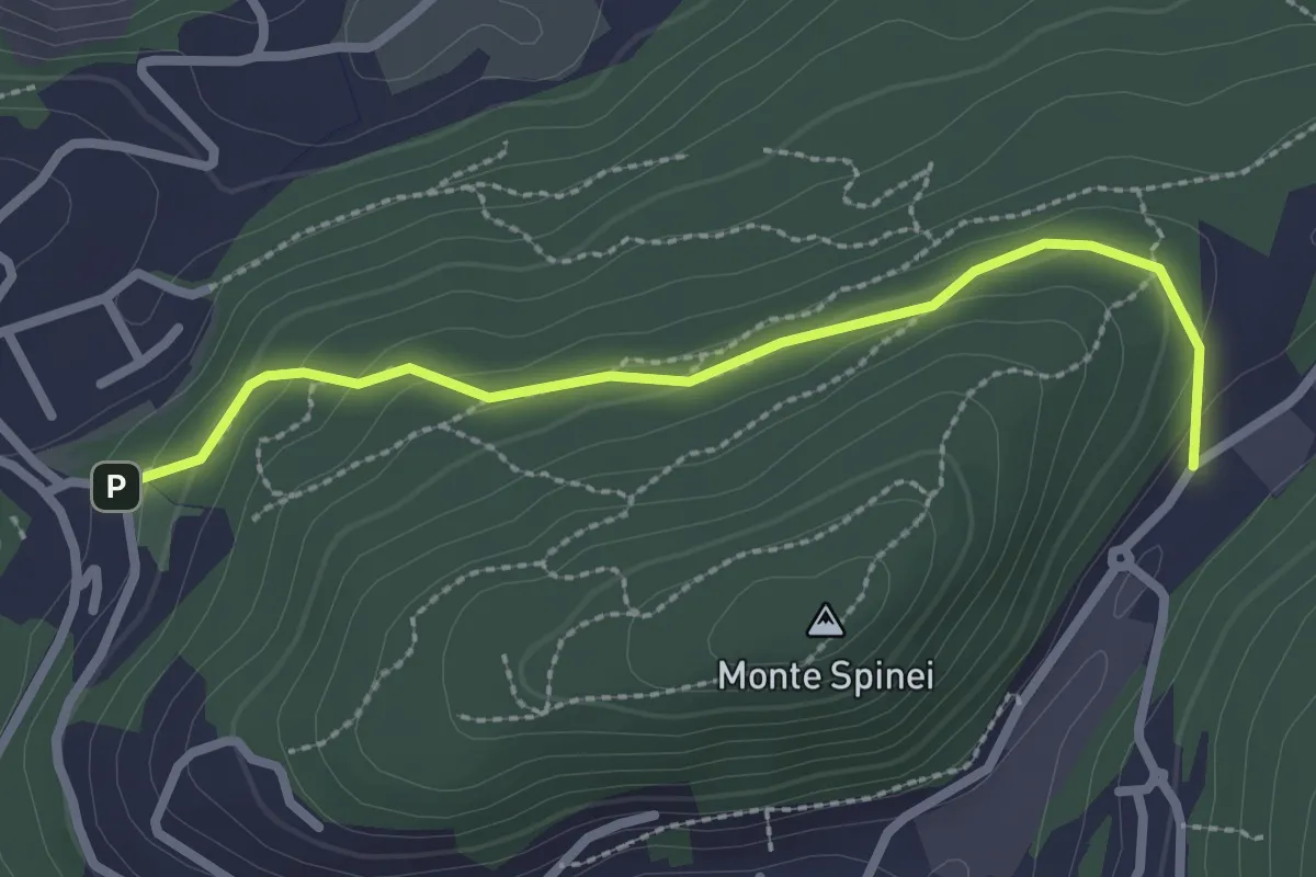
Easy · Trail
Bosco della Gualdera – Zona industriale di Proseprio
2.6 km · ↑ 85 m · 48 min · 15 km away