Trails near Glurns - Glorenza
80 hikes starting within 15 km, nearest first.
Nearest first, page 1 of 2
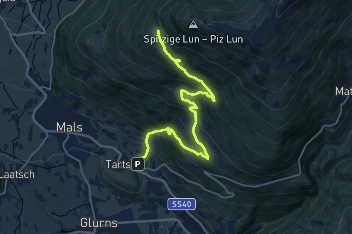
Demanding · Trail
18
13.3 km · ↑ 1020 m · 5 h 21 min · 1 km away
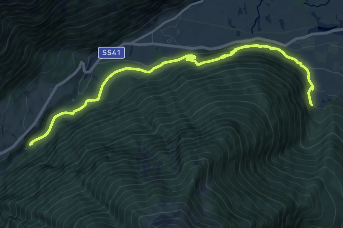
Medium · Trail
Mitterwaal
10.9 km · ↑ 623 m · 3 h 56 min · 1 km away
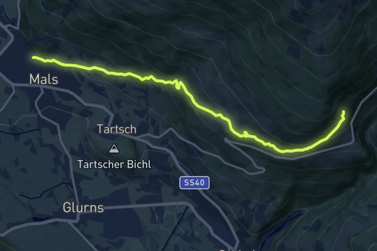
Medium · Trail
14
11.1 km · ↑ 718 m · 4 h 11 min · 2 km away
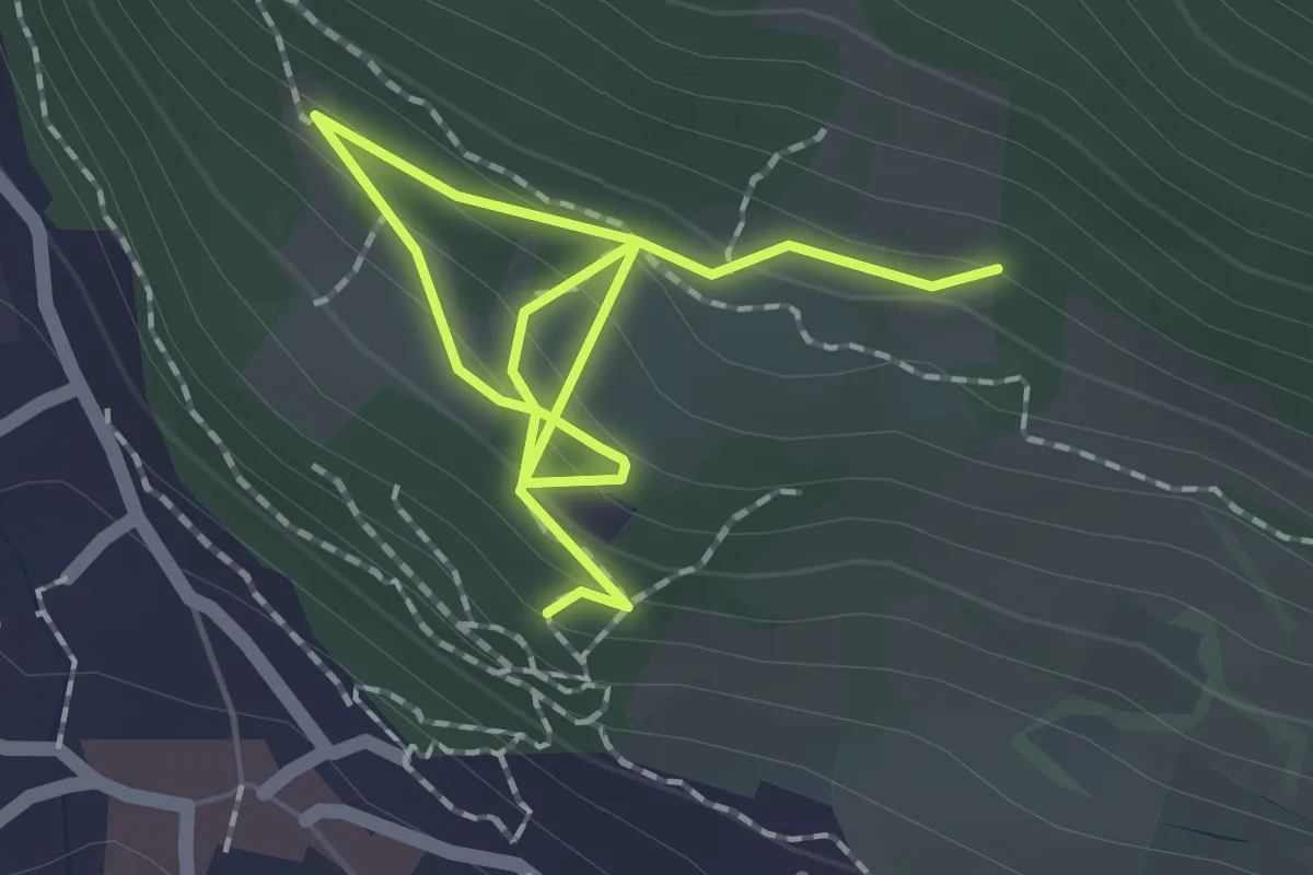
Medium · Trail
12
2.5 km · ↑ 186 m · 59 min · 2 km away
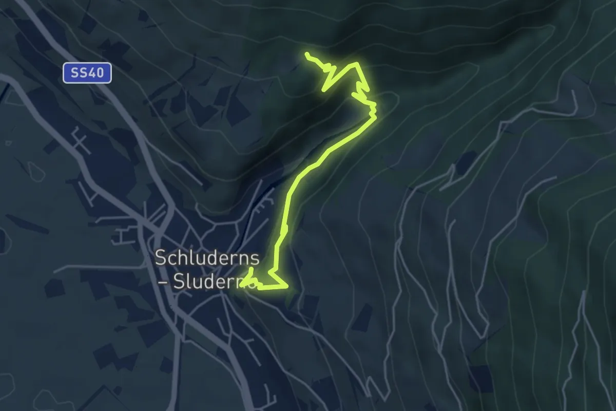
Easy · Trail
18A
4.6 km · ↑ 296 m · 1 h 43 min · 3 km away
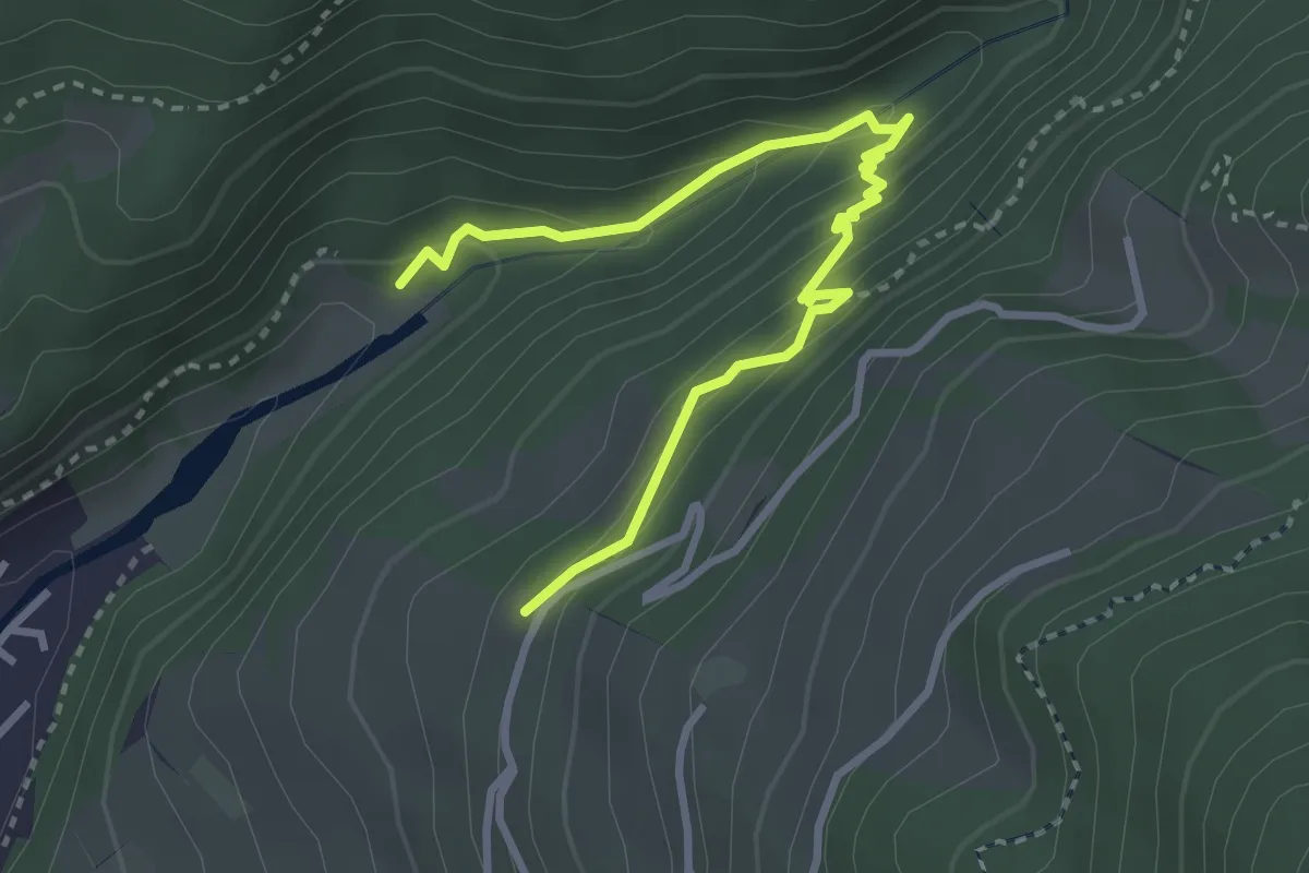
Medium · Trail
18B
3.5 km · ↑ 269 m · 1 h 25 min · 3 km away
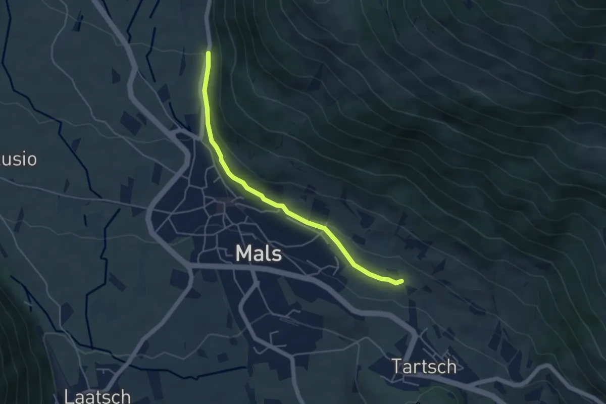
Easy · Trail
Mitterwaal
4.2 km · ↑ 78 m · 1 h 10 min · 3 km away
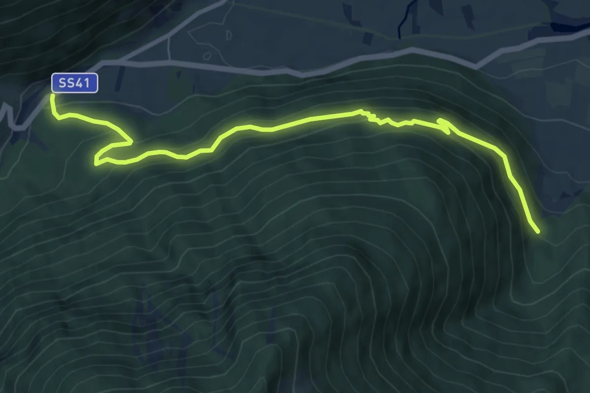
Medium · Trail
Arzweg
8.3 km · ↑ 509 m · 3 h 3 min · 4 km away
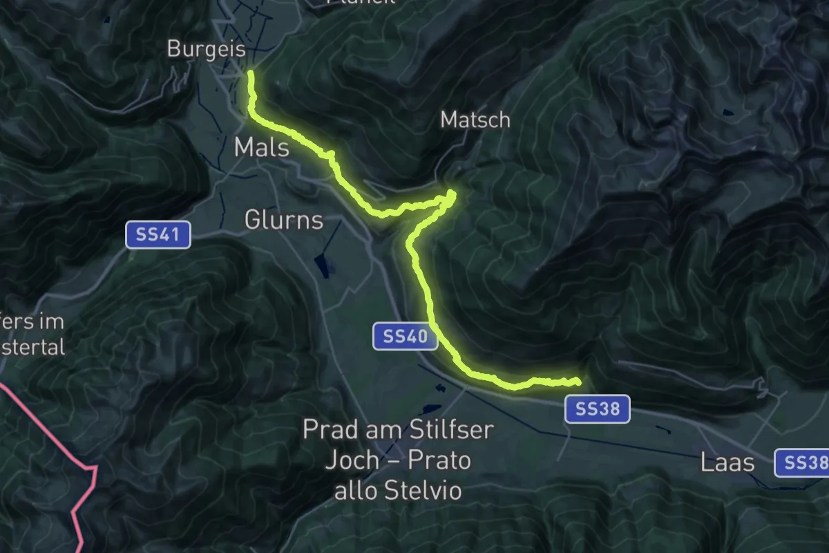
Demanding · Trail
17
17.3 km · ↑ 897 m · 6 h 23 min · 4 km away
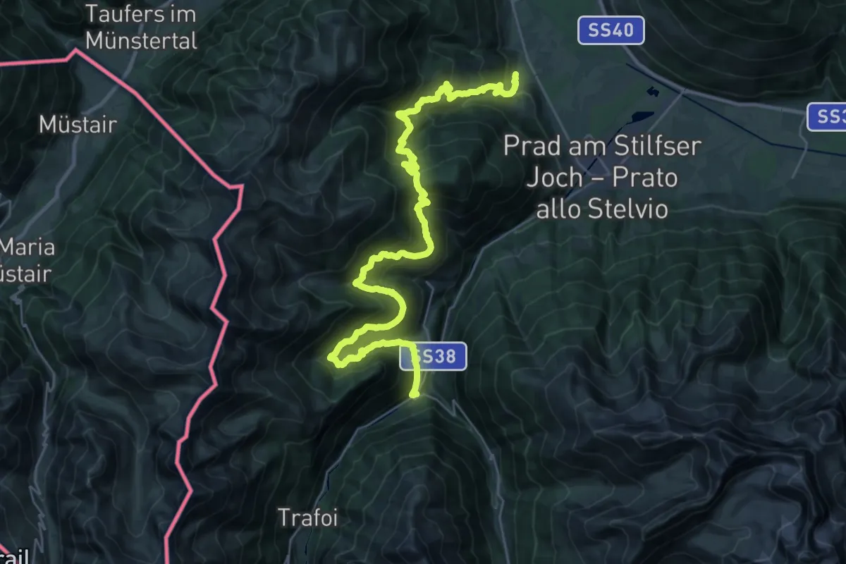
Demanding · Trail
Höfeweg
17.6 km · ↑ 1463 m · 7 h 23 min · 4 km away
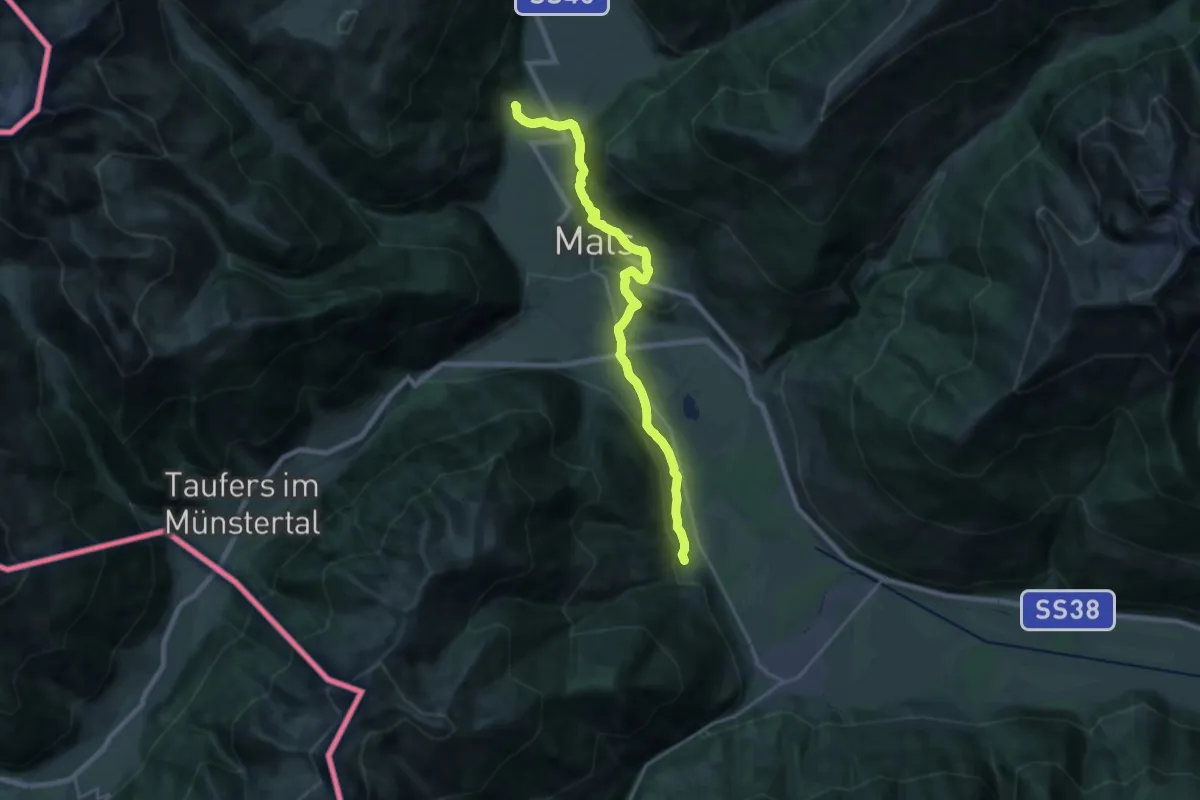
Medium · Pilgrim path
Jakobsweg Burgeis - Cammino di San Giacomo Burgisio
11.3 km · ↑ 155 m · 3 h 18 min · 5 km away
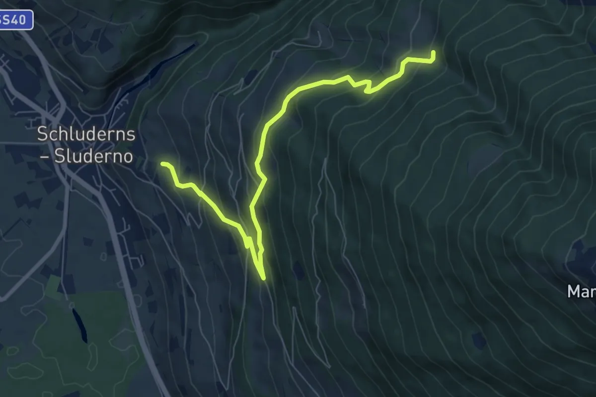
Medium · Trail
21
7.8 km · ↑ 567 m · 3 h 4 min · 5 km away
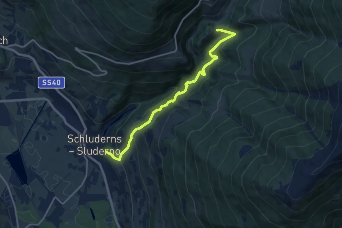
Medium · Trail
20
8.6 km · ↑ 726 m · 3 h 37 min · 5 km away
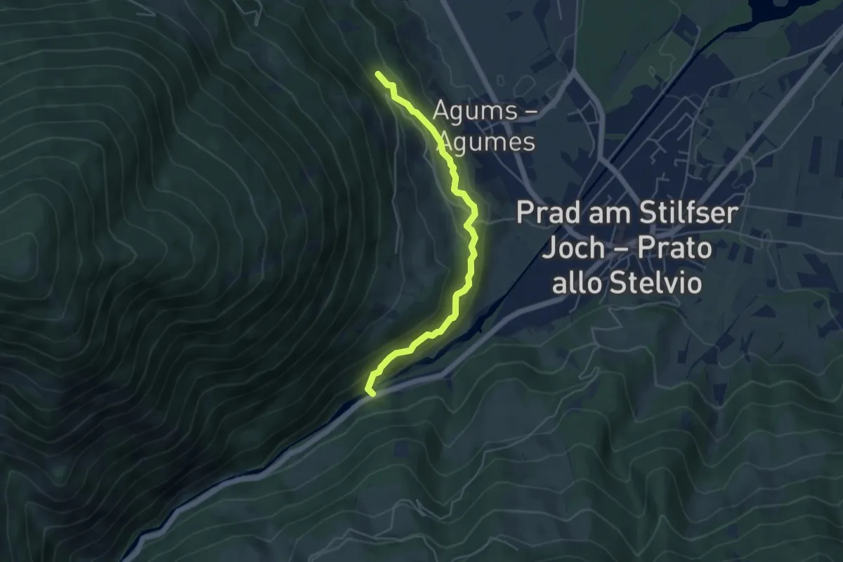
Medium · Trail
Frauwaal
4.5 km · ↑ 319 m · 1 h 45 min · 5 km away
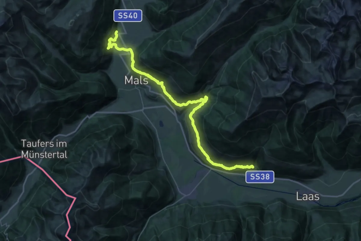
Demanding · Trail
Sonnensteig - Sentiero del Sole
21.6 km · ↑ 1061 m · 7 h 52 min · 5 km away
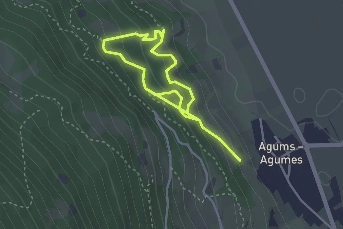
Medium · Trail
Waldtierpfad Gumperle
4.1 km · ↑ 547 m · 2 h 10 min · 6 km away
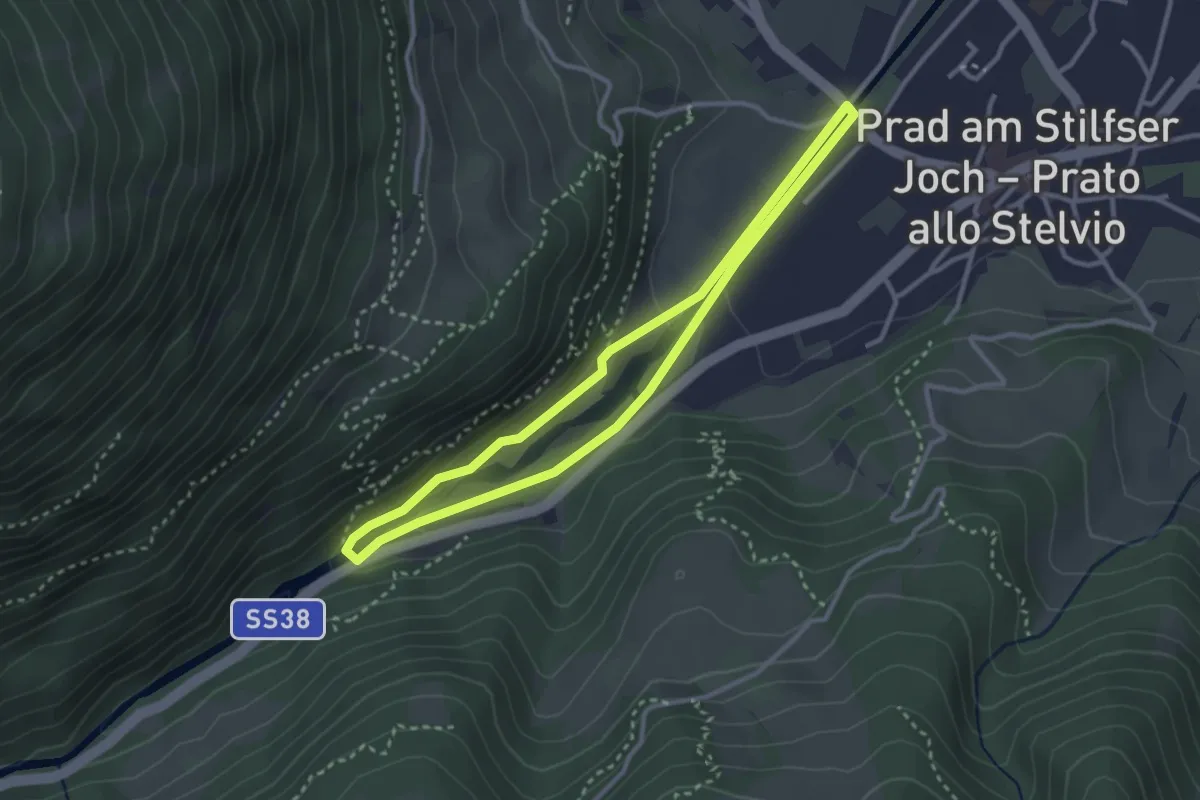
Easy · Trail
Suldenbachweg
2.8 km · ↑ 55 m · 49 min · 6 km away
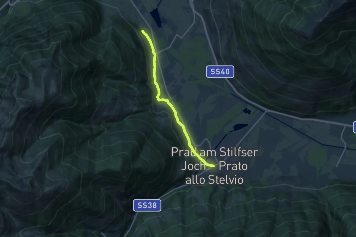
Medium · Trail
Jakobsweg
11.0 km · ↑ 137 m · 2 h 54 min · 7 km away
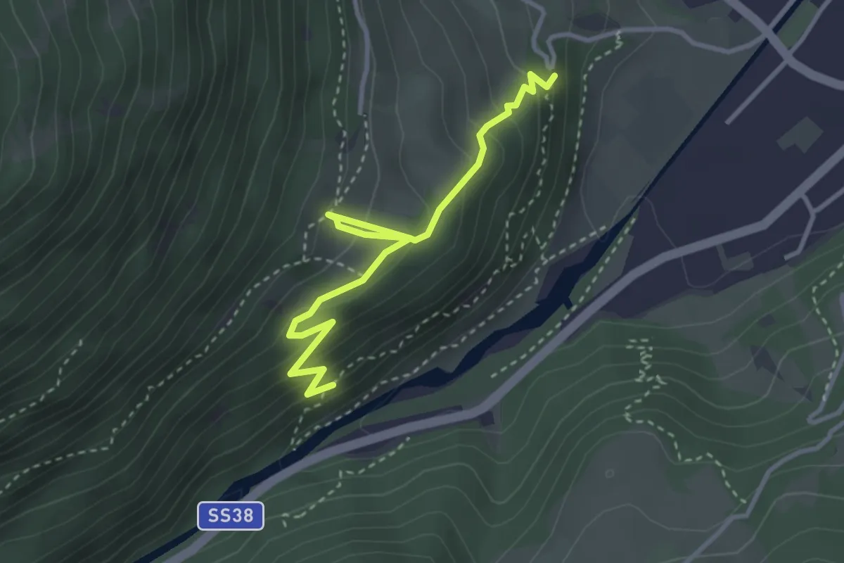
Medium · Trail
Schafgangel
3.4 km · ↑ 287 m · 1 h 26 min · 7 km away
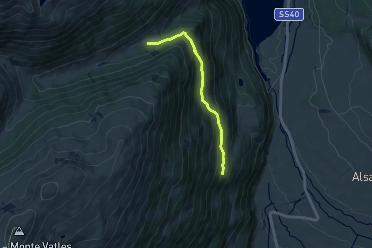
Demanding · Trail
Goassteig
5.3 km · ↑ 305 m · 1 h 54 min · 7 km away
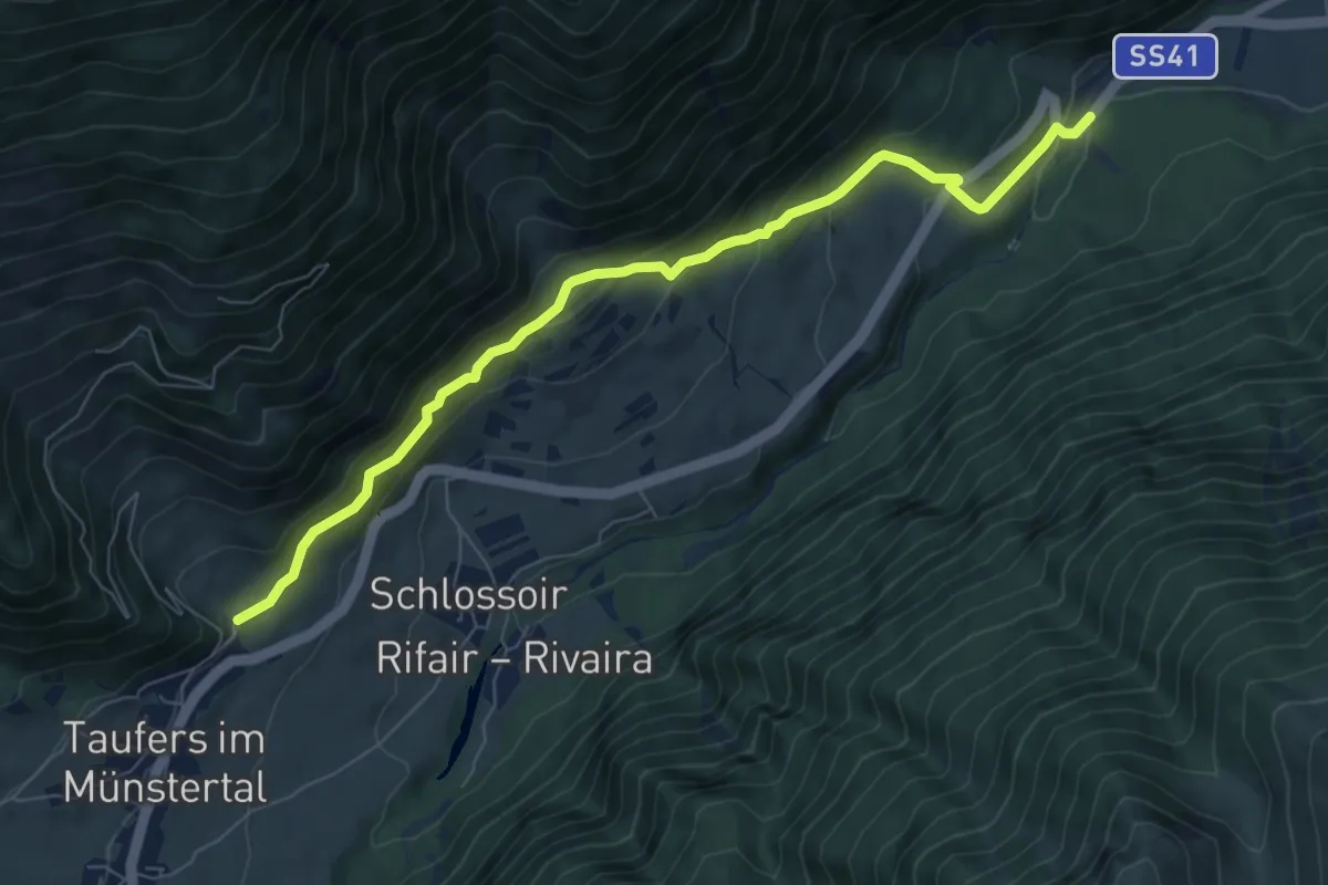
Medium · Trail
Waalweg
7.7 km · ↑ 438 m · 2 h 47 min · 7 km away
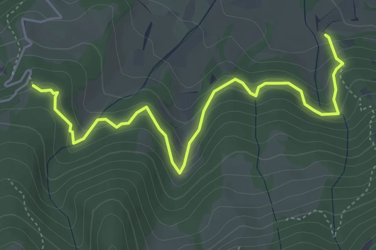
Medium · Trail
Naturlehrpfad
4.7 km · ↑ 454 m · 2 h 6 min · 7 km away
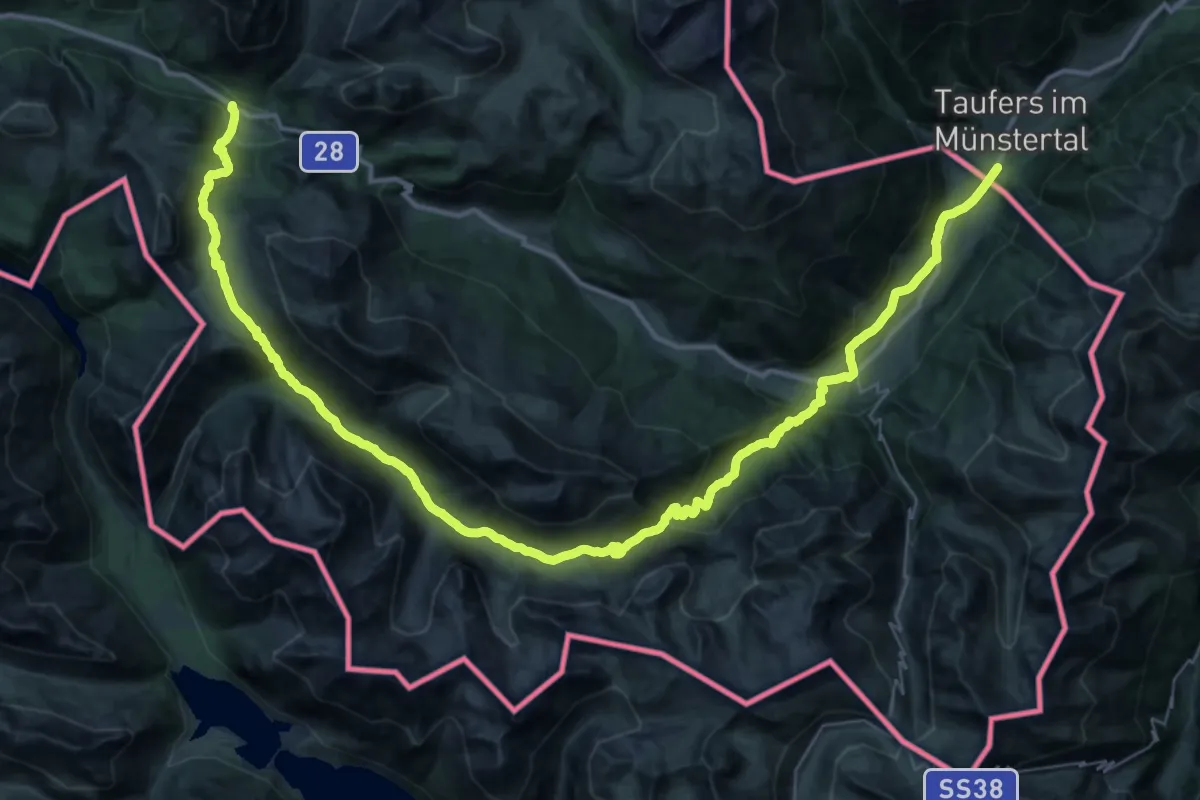
Demanding · Trail
Nationalpark Panoramaweg
27.7 km · ↑ 1359 m · 9 h 30 min · 8 km away
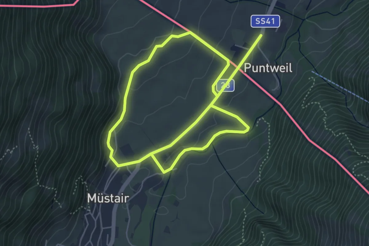
Easy · Trail
Munstair – Munstair
4.6 km · ↑ 79 m · 1 h 19 min · 8 km away
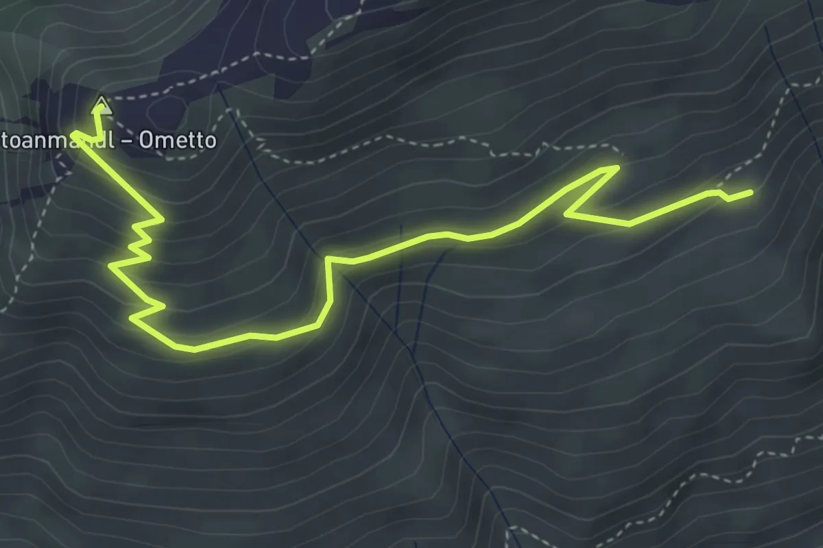
Medium · Summit
Wieges Rundweg
5.1 km · ↑ 300 m · 1 h 52 min · 8 km away
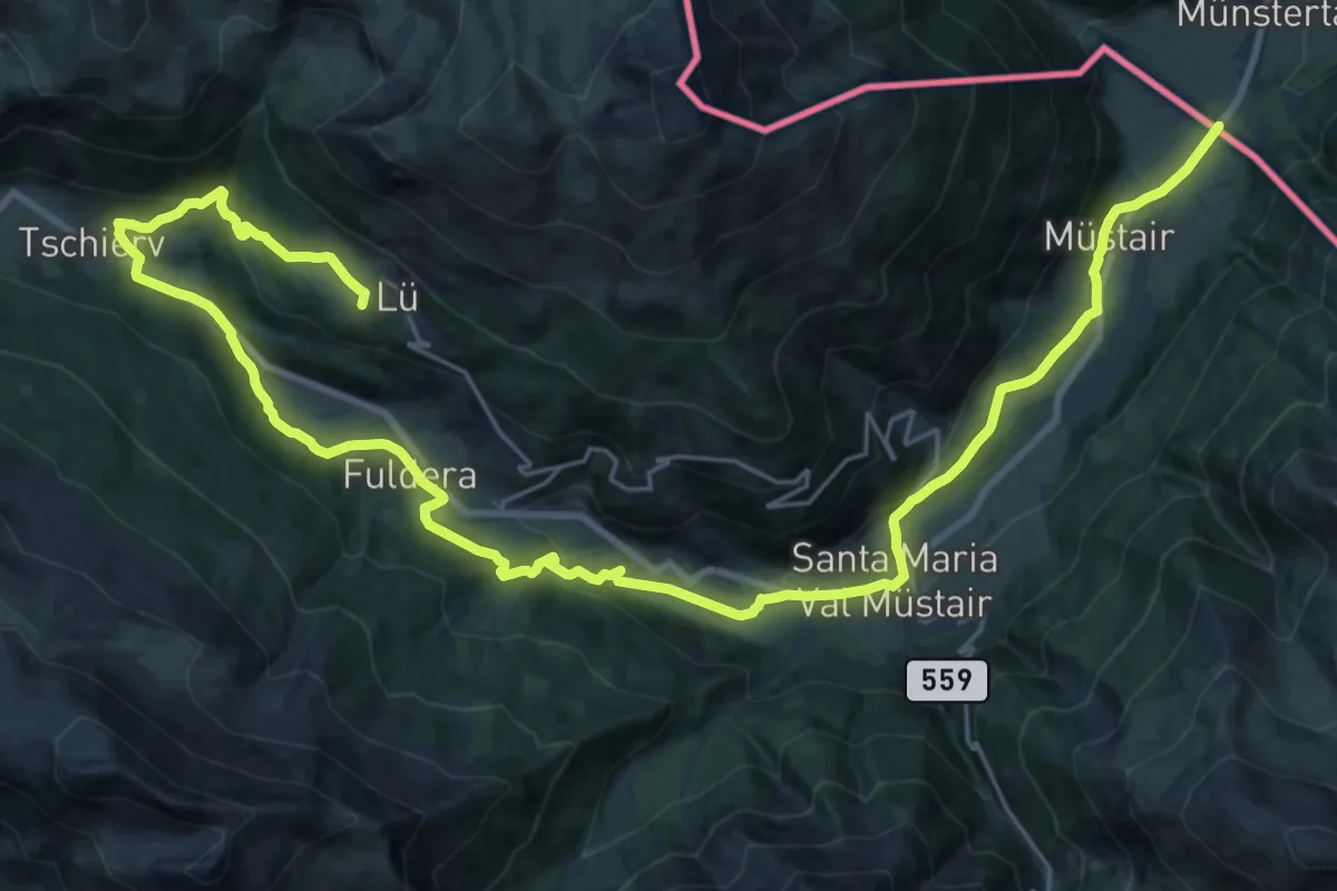
Demanding · Summit
Via son Giachen
17.0 km · ↑ 807 m · 5 h 40 min · 8 km away
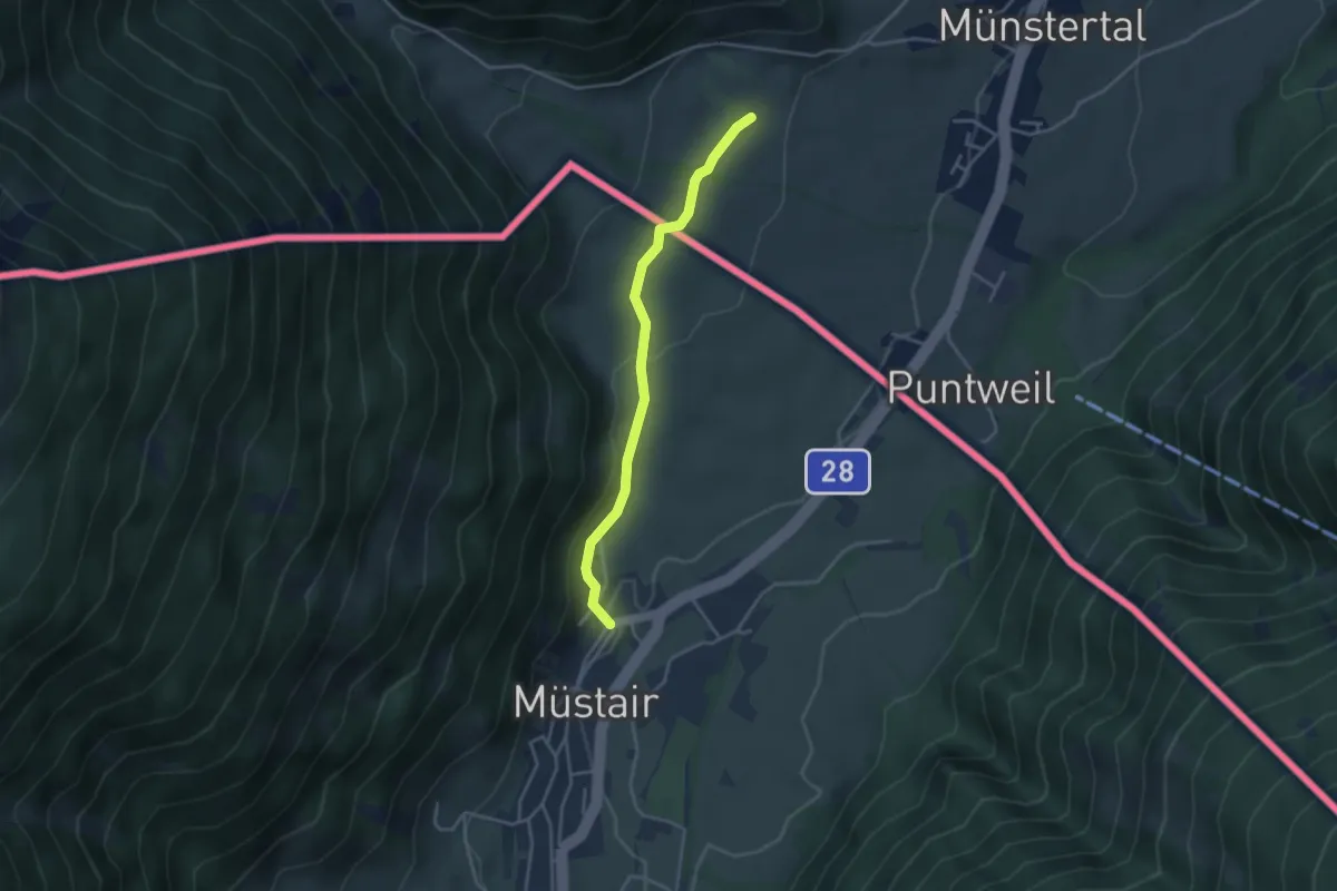
Easy · Trail
Stundenweg
3.4 km · ↑ 90 m · 1 h · 8 km away
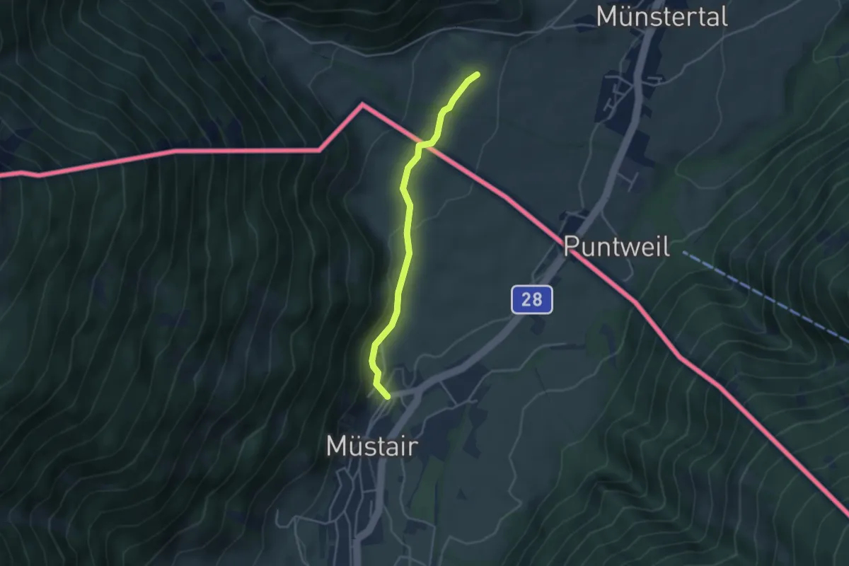
Easy · Pilgrim path
Jakobsweg Taufers i.M. - Cammino di San Giacomo Tubre
1.7 km · ↑ 15 m · 29 min · 8 km away
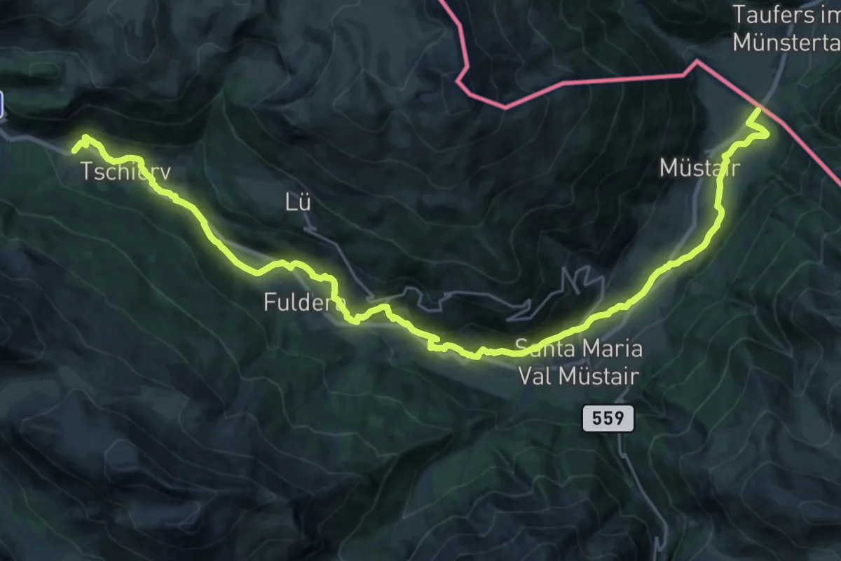
Medium · Trail
Riva dal Rom
15.4 km · ↑ 619 m · 4 h 56 min · 8 km away
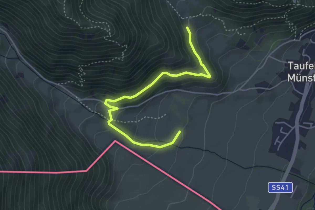
Medium · Trail
Dorfrundweg
4.1 km · ↑ 259 m · 1 h 32 min · 8 km away
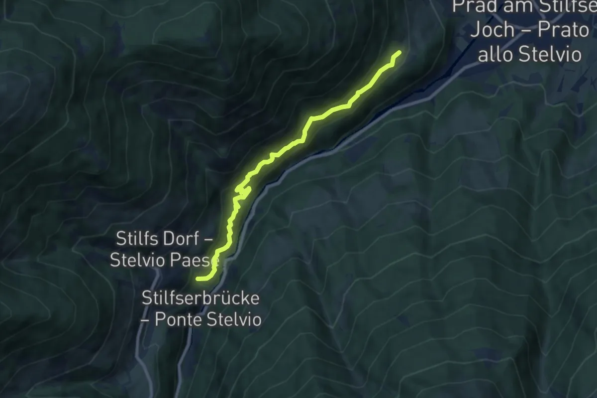
Medium · Trail
Agumser Bergwaal
7.3 km · ↑ 583 m · 2 h 59 min · 8 km away
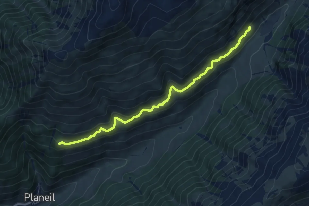
Medium · Trail
Planeiler Höhenweg
7.0 km · ↑ 453 m · 2 h 38 min · 9 km away
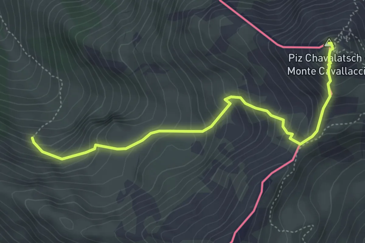
Medium · Summit
Plaun Radond – Piz Chavalatsch
5.0 km · ↑ 558 m · 2 h 23 min · 9 km away
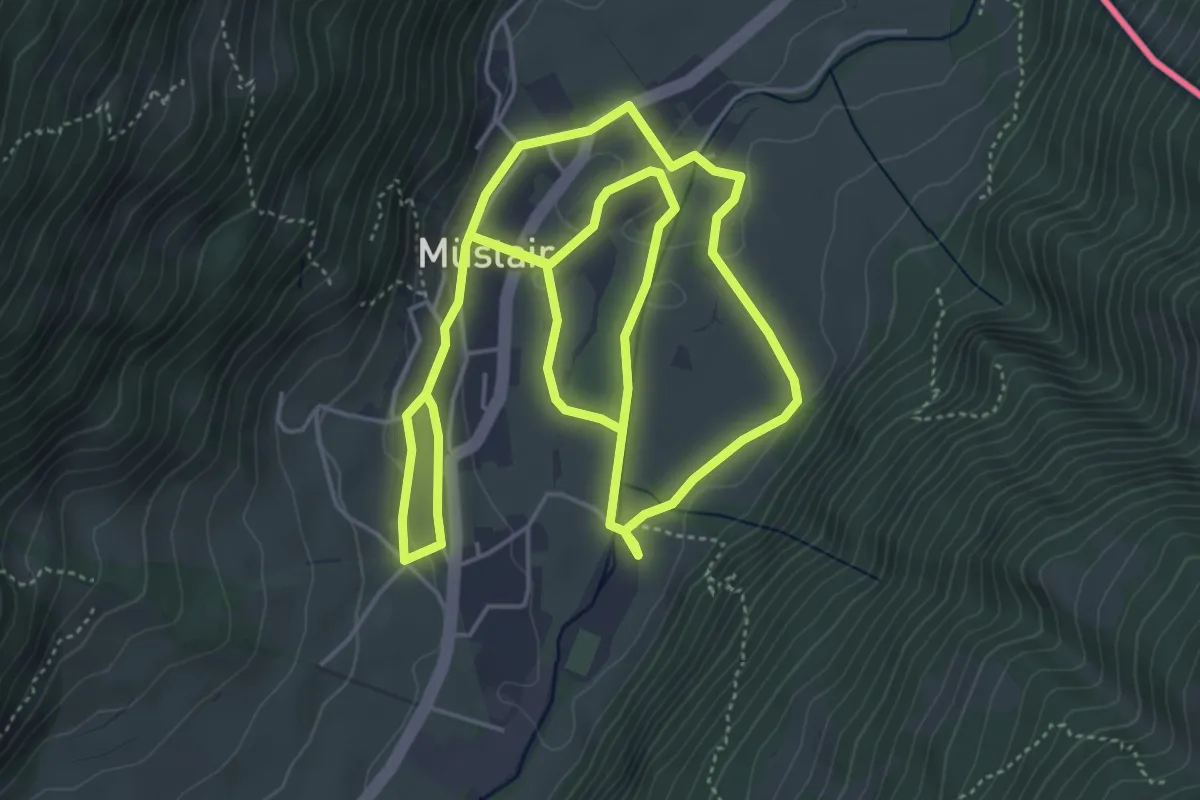
Medium · Trail
St. Maria Val Mustair – Mustair
10.0 km · ↑ 149 m · 2 h 41 min · 10 km away
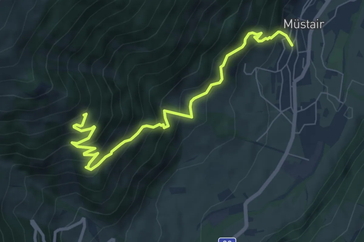
Medium · Trail
Mustair – Terza
7.2 km · ↑ 691 m · 3 h 11 min · 10 km away
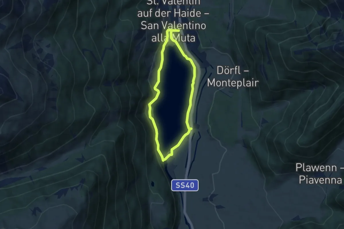
Easy · Trail
Seerundgang
5.1 km · ↑ 133 m · 1 h 34 min · 10 km away
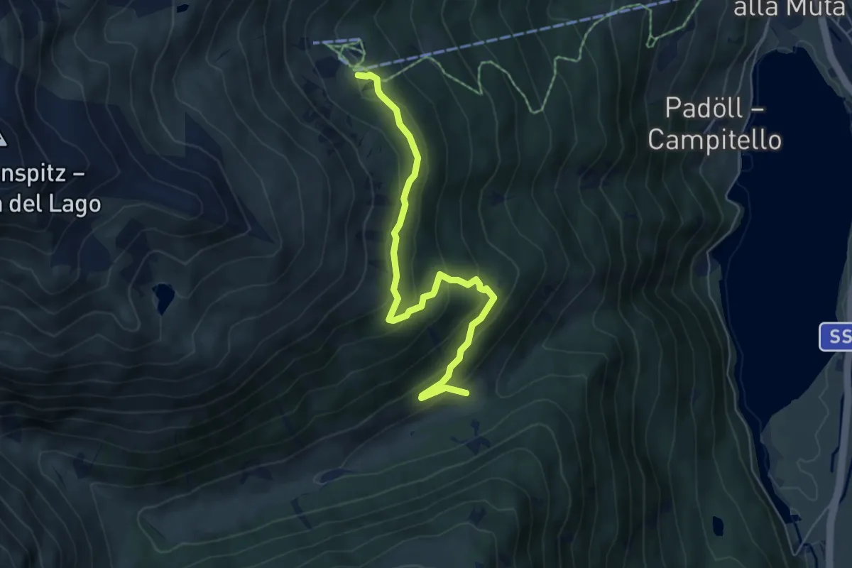
Medium · Trail
Panoramaweg
5.8 km · ↑ 362 m · 2 h 10 min · 11 km away
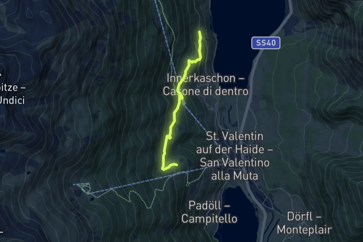
Easy · Trail
Plangrondweg
5.2 km · ↑ 257 m · 1 h 48 min · 11 km away
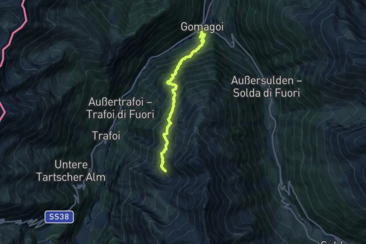
Expert · Trail
Herrensteig
10.2 km · ↑ 1236 m · 5 h 5 min · 11 km away
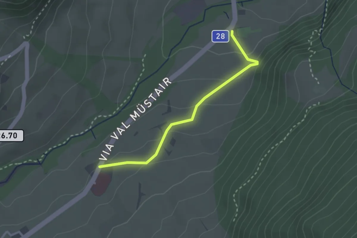
Easy · Trail
Mustair Chavalaina – Center da sanda
2.4 km · ↑ 111 m · 48 min · 11 km away
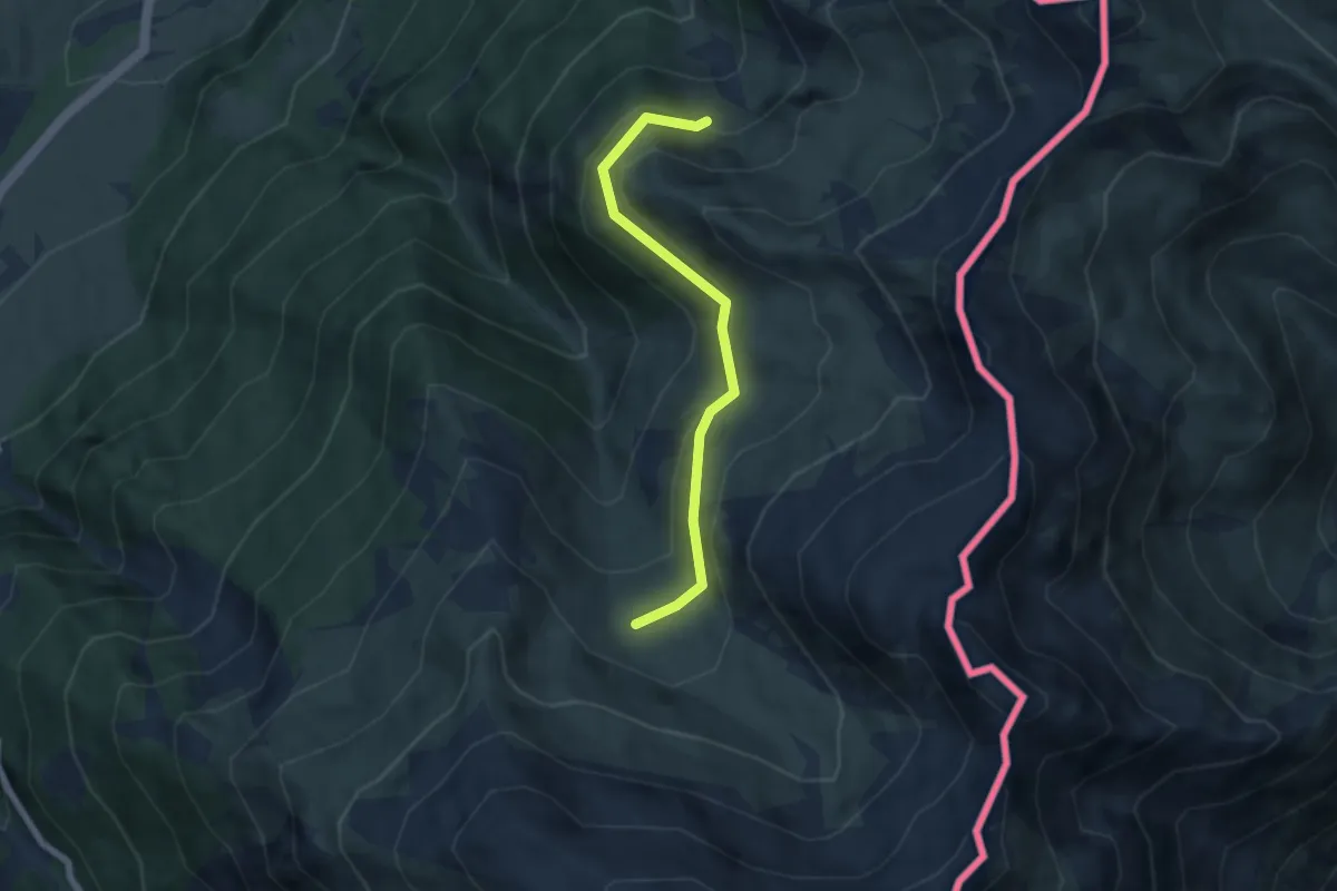
Easy · Trail
Alp Sielva – Plaun Radond
5.7 km · ↑ 254 m · 1 h 53 min · 11 km away
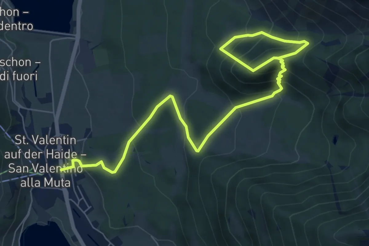
Medium · Trail
Schlossbergrunde
8.3 km · ↑ 652 m · 3 h 22 min · 11 km away
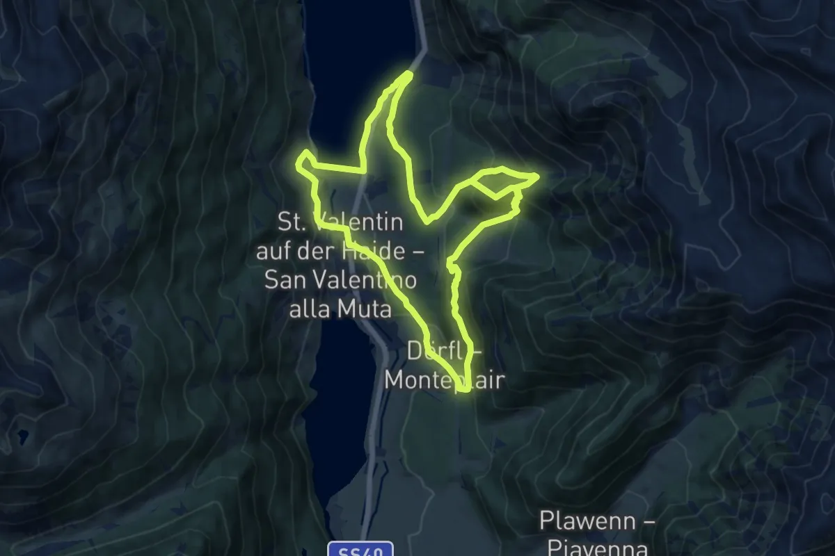
Demanding · Trail
Rundweg Schlossberg
22.0 km · ↑ 1190 m · 7 h 46 min · 11 km away
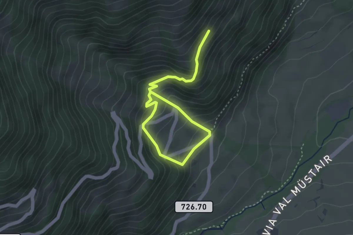
Medium · Trail
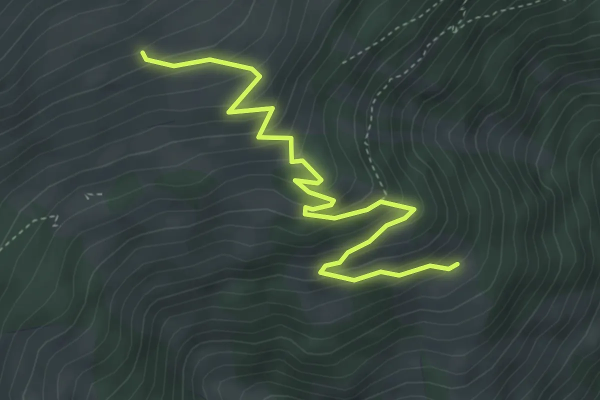
Pizzet – Putschai
4.2 km · ↑ 351 m · 1 h 46 min · 11 km away
Medium · Trail
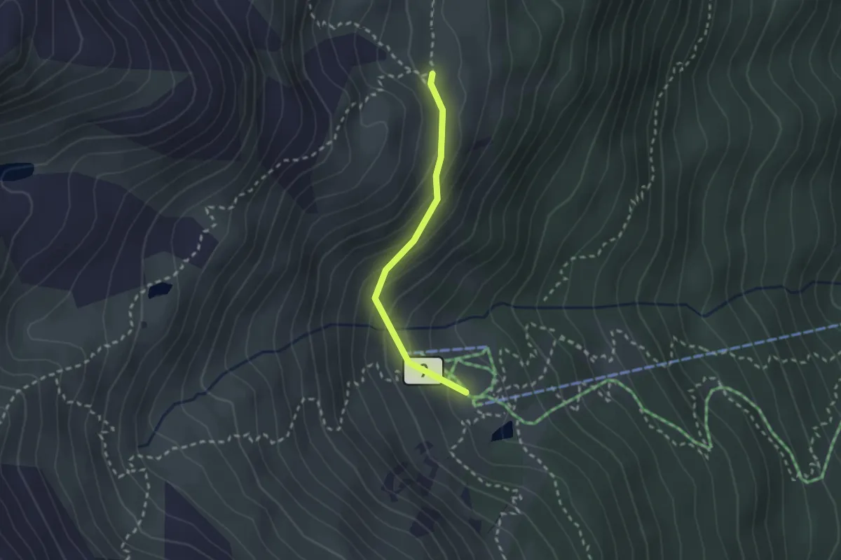
Terza – Alp Terza
4.6 km · ↑ 372 m · 1 h 53 min · 11 km away
Medium · Trail
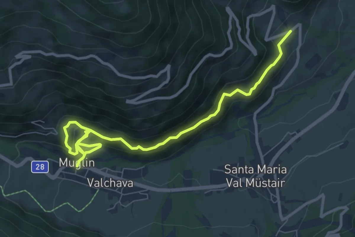
Höhenweg
2.0 km · ↑ 144 m · 47 min · 12 km away
Medium · Trail
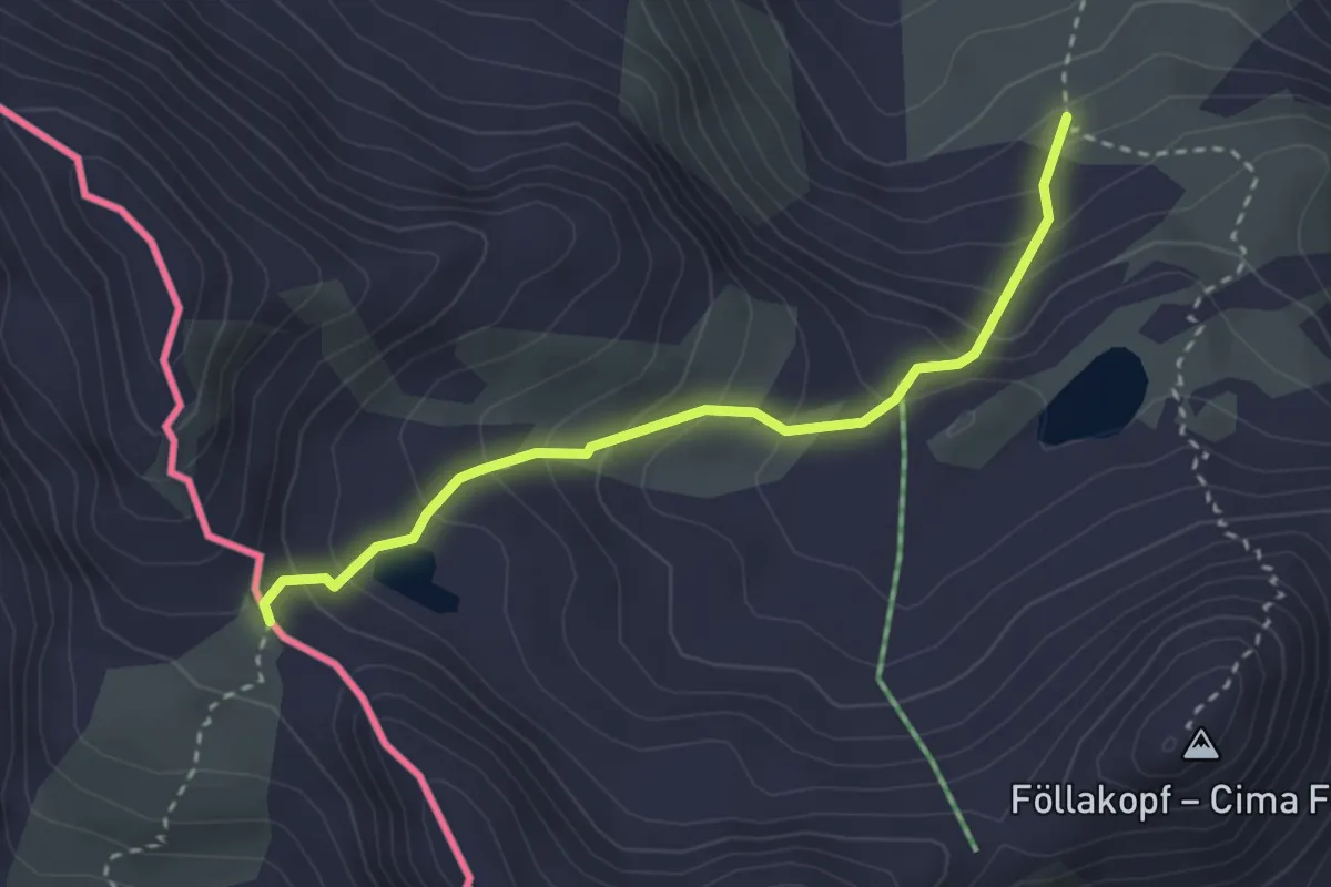
Valchava – Pizzet
7.9 km · ↑ 567 m · 3 h 6 min · 12 km away
Easy · Trail
Sesvennahütte - Fuorcla Sesvenna
2.9 km · ↑ 296 m · 1 h 19 min · 12 km away