Trails near Grezzana
89 hikes starting within 15 km, nearest first.
Nearest first, page 2 of 2
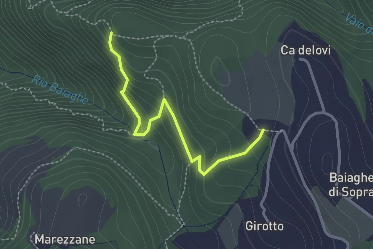
Medium · Trail
Percorso 1 – Malga Biancari
2.3 km · ↑ 179 m · 55 min · 10 km away
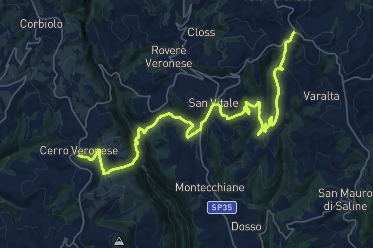
Demanding · Trail
Cerro Veronese - Bettola di Velo
22.7 km · ↑ 1131 m · 7 h 48 min · 11 km away
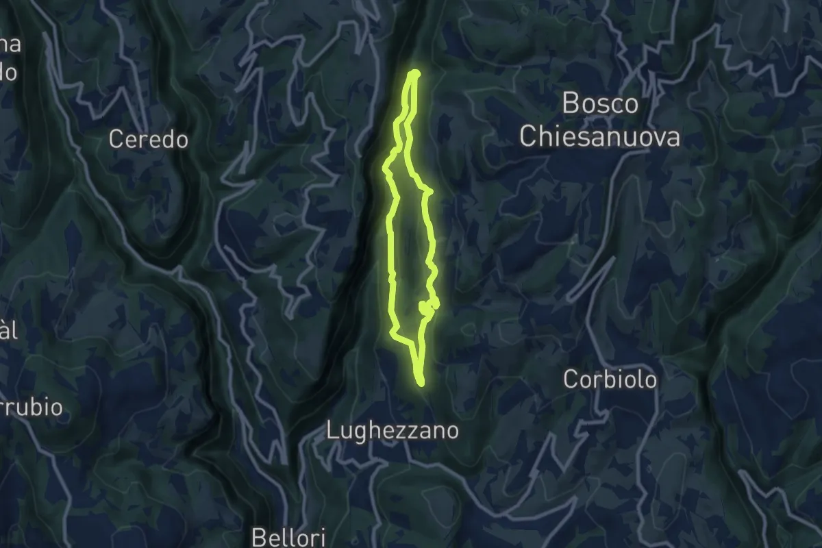
Demanding · Trail
Percorso n. 11
7.0 km · ↑ 291 m · 2 h 23 min · 11 km away
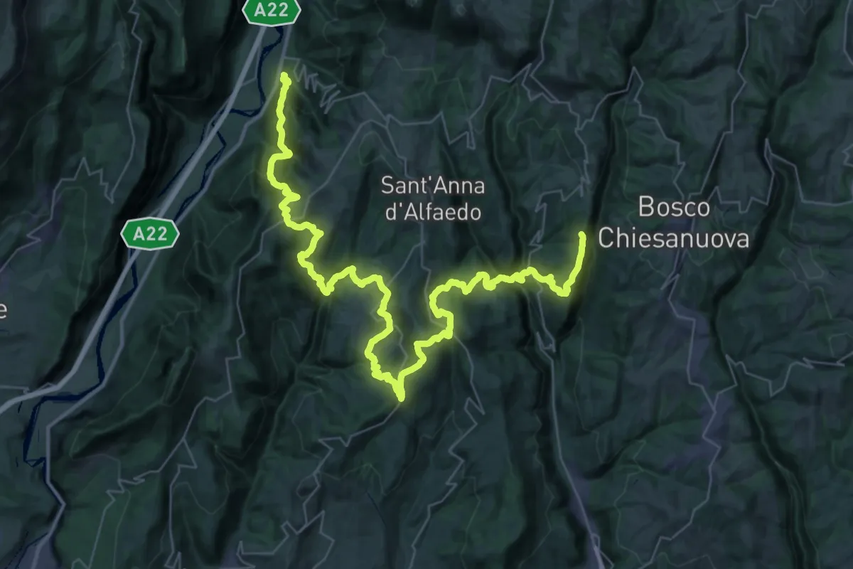
Demanding · Trail
loc. Genderli – Peri
26.6 km · ↑ 1319 m · 9 h 54 min · 11 km away
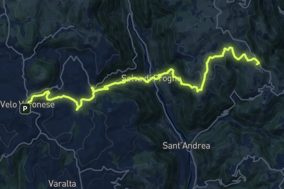
Demanding · Summit
Dorsale Bassa della Lessinia sezione Bolca - Velo
20.4 km · ↑ 1305 m · 7 h 39 min · 11 km away
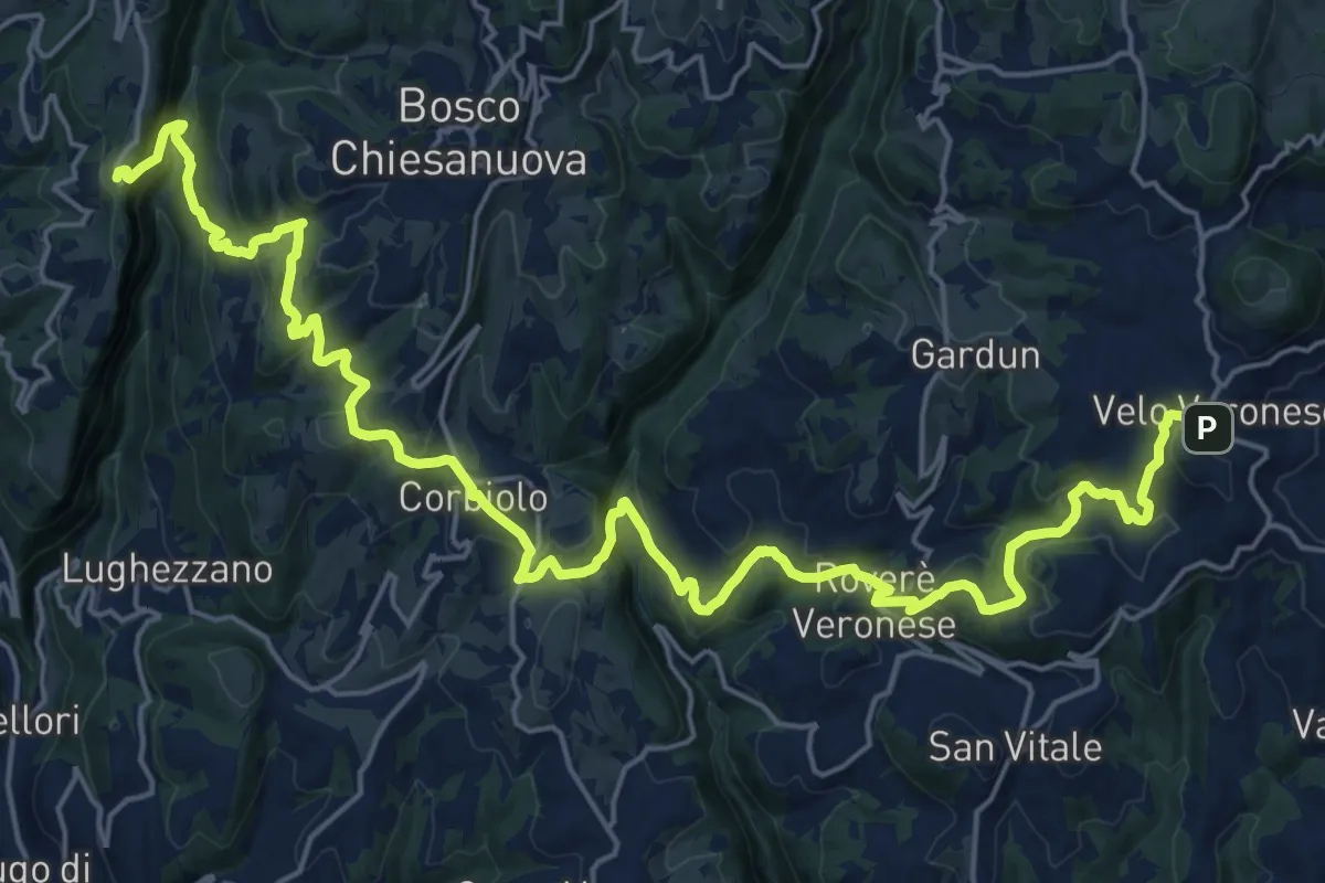
Demanding · Trail
Dorsale Bassa della Lessinia sezione Velo - Genderli
14.6 km · ↑ 594 m · 5 h 1 min · 11 km away
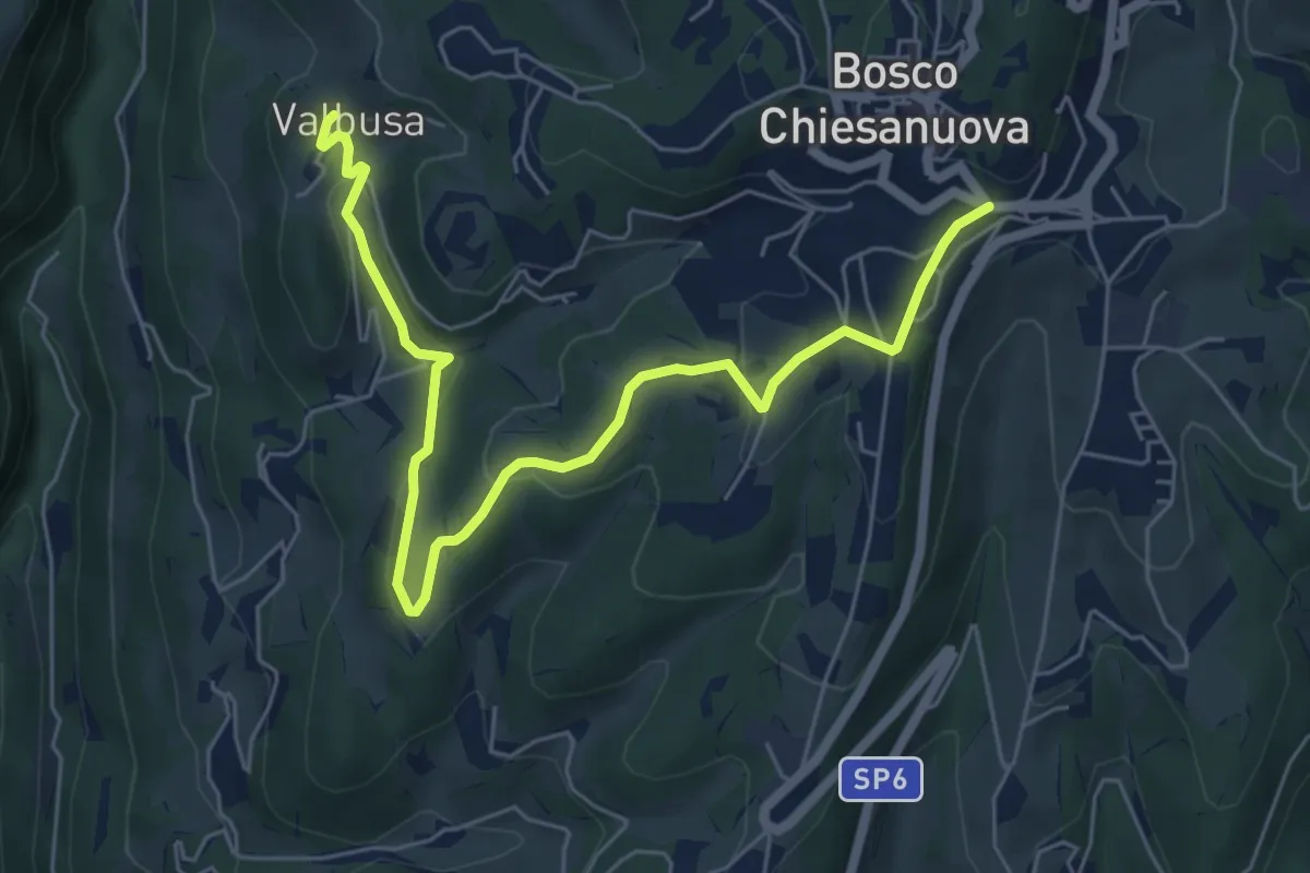
Easy · Trail
Percorso n. 4b
7.1 km · ↑ 199 m · 2 h 6 min · 11 km away
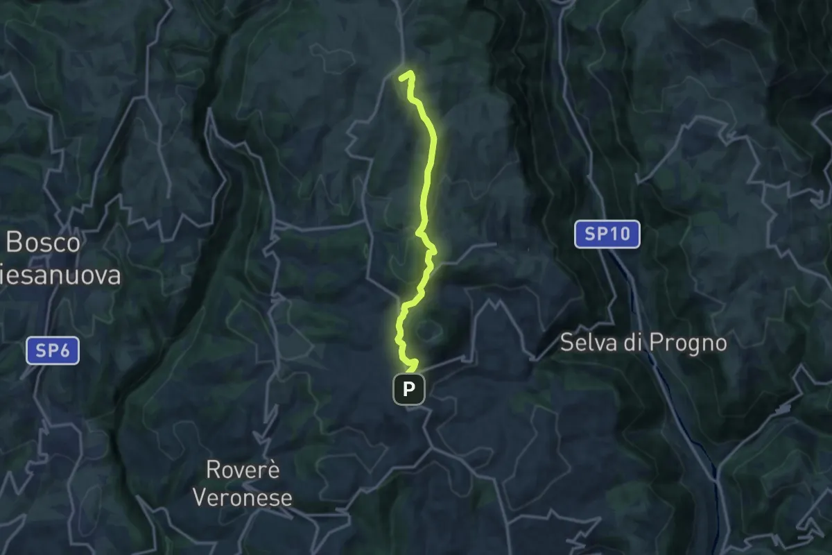
Medium · Summit
Velo Veronese – Malga Parparo di Sopra
10.8 km · ↑ 405 m · 3 h 26 min · 11 km away
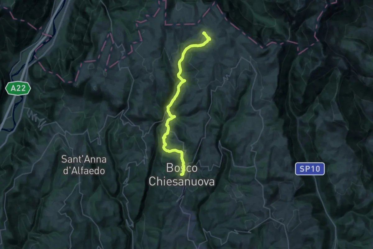
Demanding · Cabin
Bosco Chiesanuova - Rifugio Podestaria
13.0 km · ↑ 824 m · 4 h 46 min · 12 km away
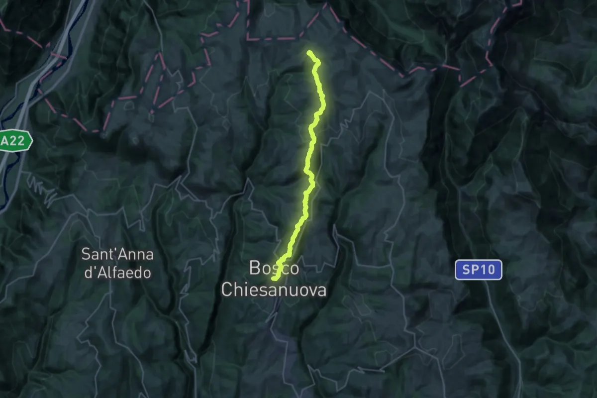
Demanding · Cabin
Bosco Chiesanuova – Rifugio Podestaria inn. sent. 255
21.8 km · ↑ 815 m · 6 h 55 min · 12 km away
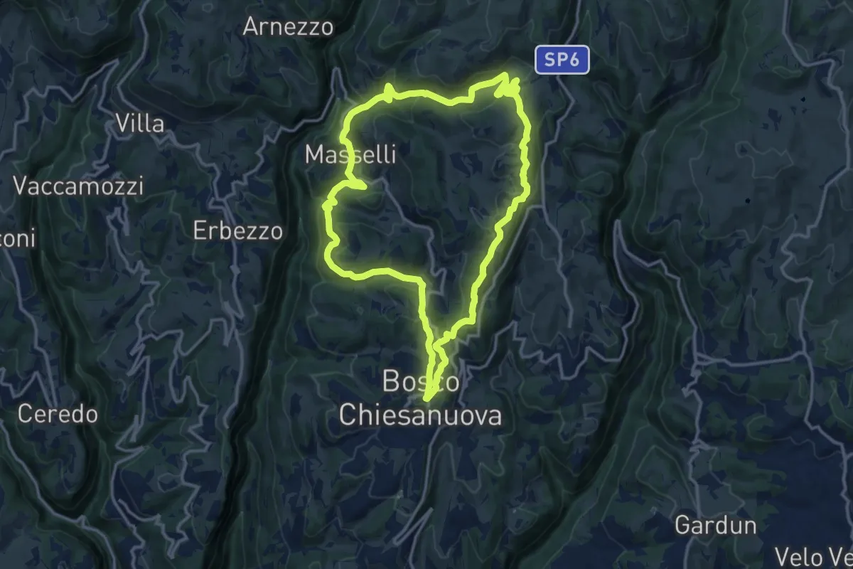
Medium · Trail
Percorso n. 3
12.9 km · ↑ 480 m · 4 h 17 min · 12 km away
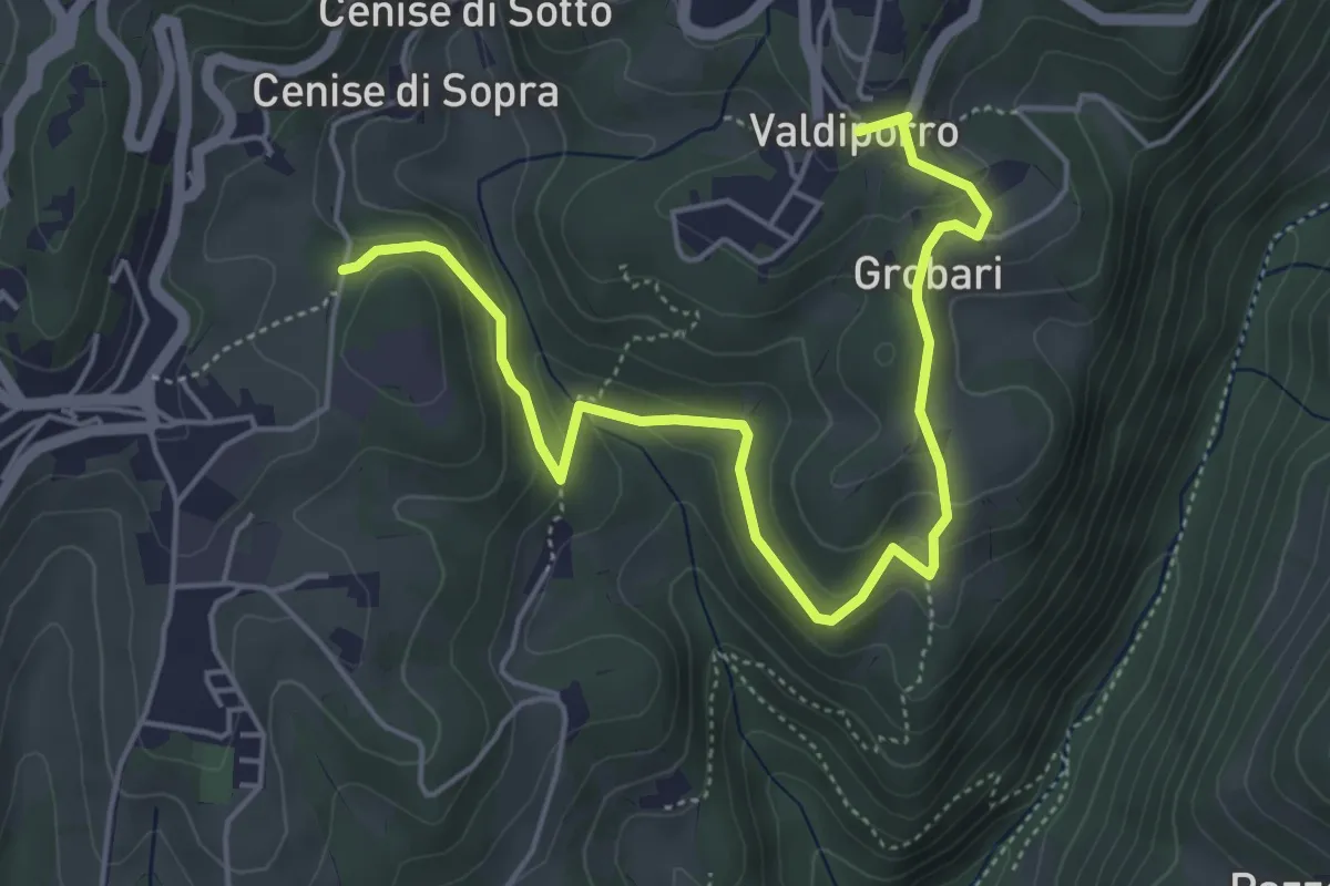
Medium · Trail
Percorso n. 5b
5.9 km · ↑ 276 m · 1 h 59 min · 12 km away
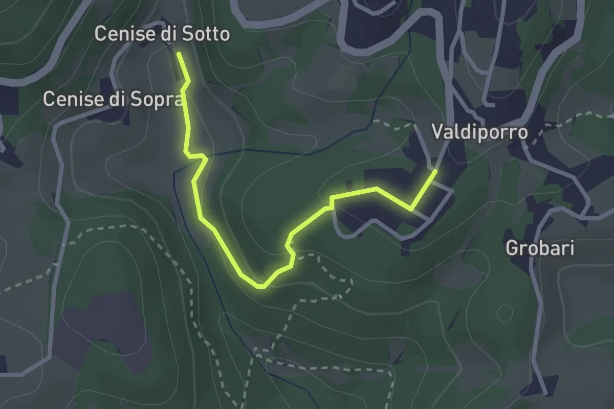
Medium · Trail
Percorso n. 5a
2.4 km · ↑ 95 m · 47 min · 12 km away
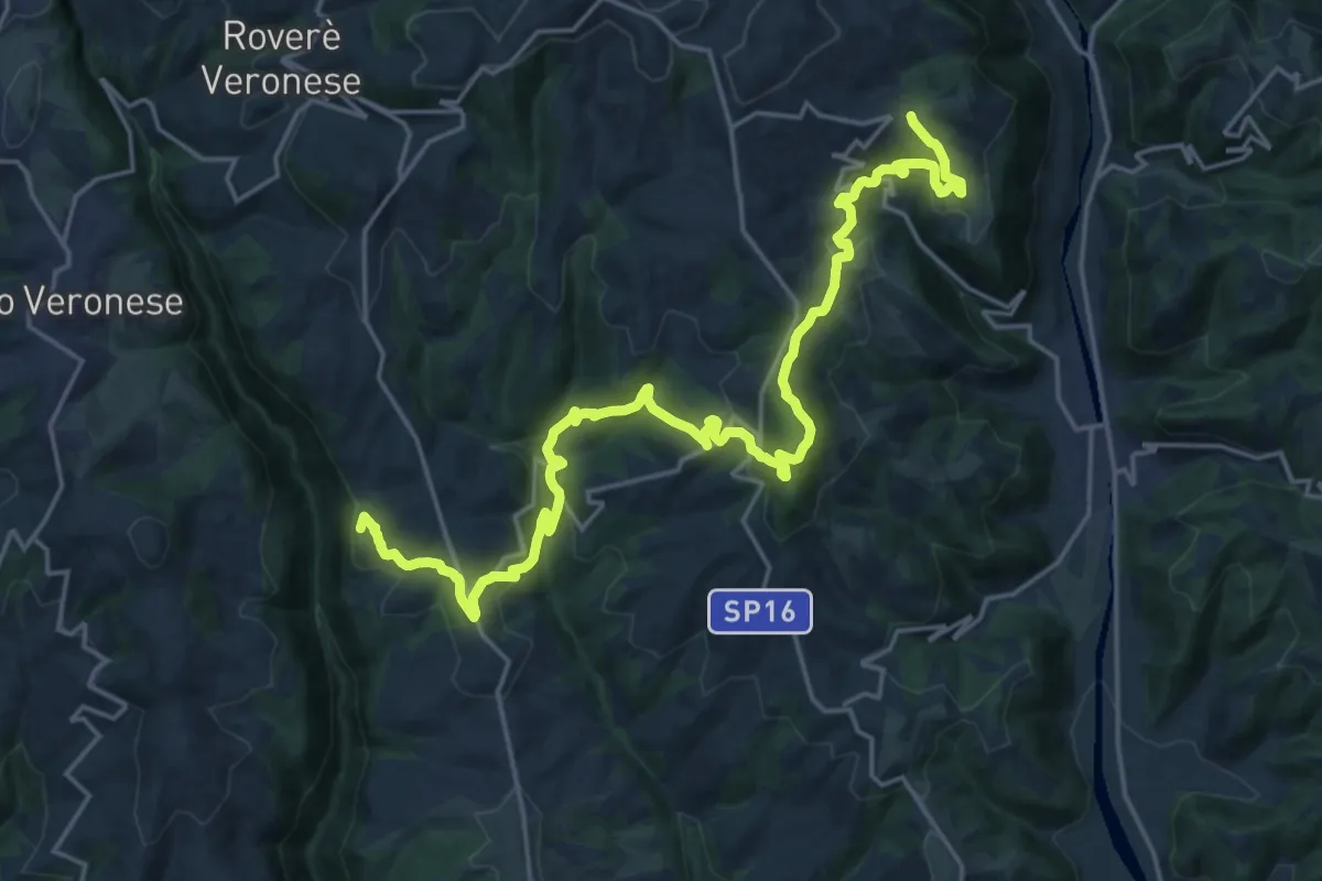
Medium · Summit
Cammino Tre Santuari della Lessina
12.6 km · ↑ 446 m · 4 h 15 min · 12 km away
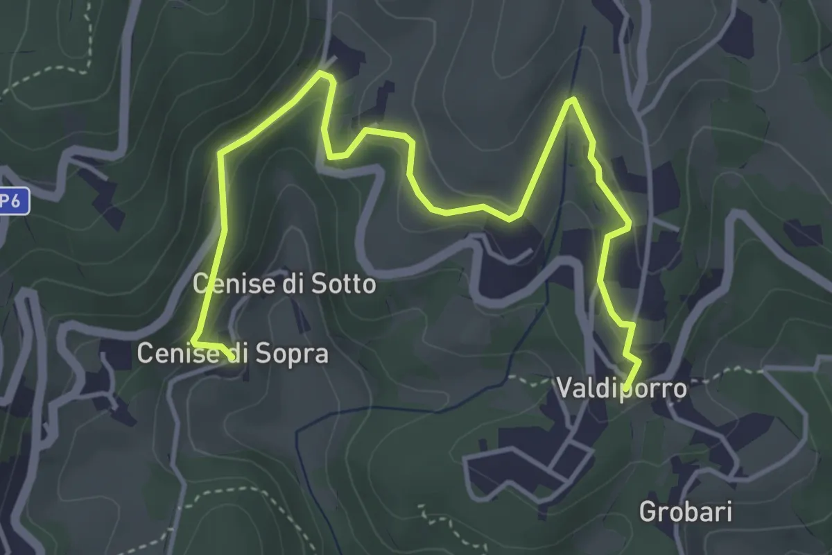
Medium · Trail
Percorso n. 5c
5.1 km · ↑ 238 m · 1 h 42 min · 12 km away
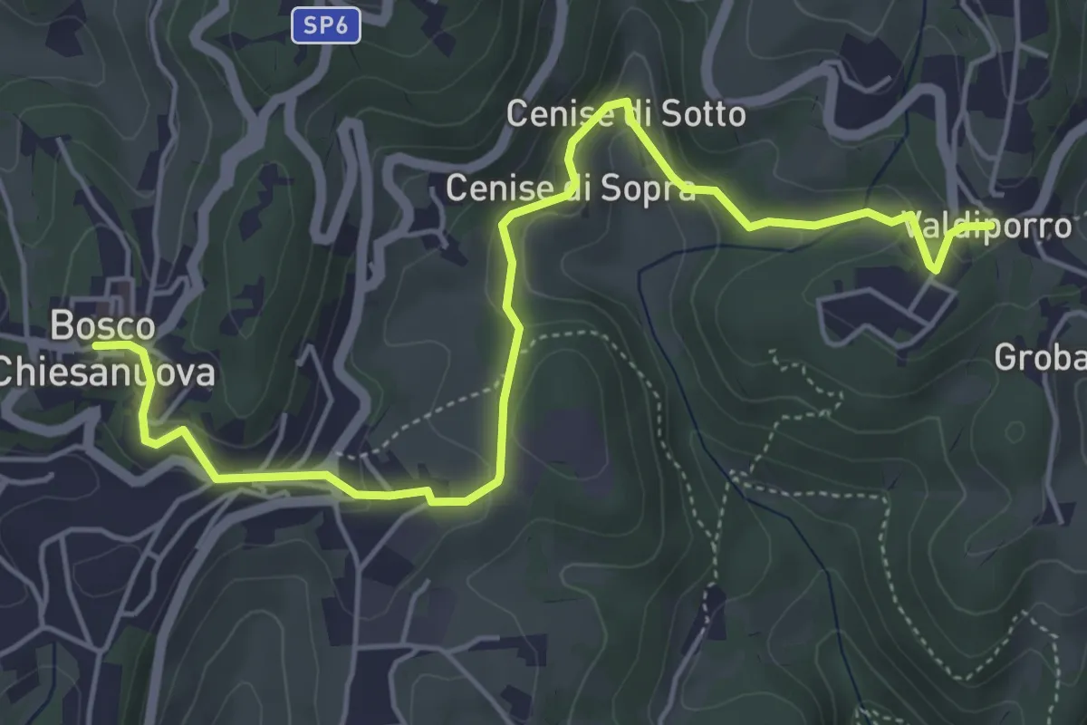
Medium · Trail
Percorso n. 5
5.9 km · ↑ 263 m · 1 h 58 min · 12 km away
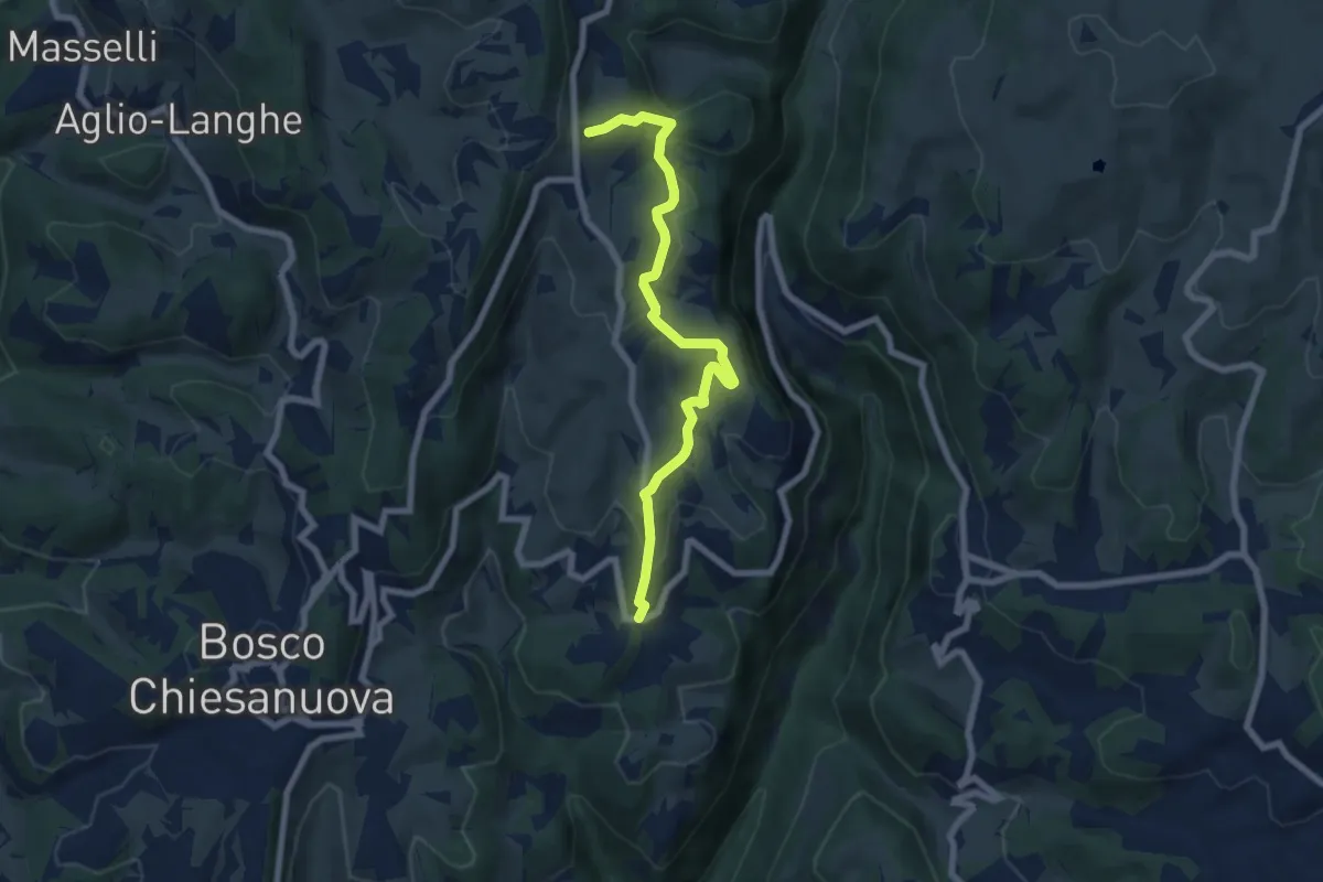
Medium · Trail
Percorso n. 6
7.1 km · ↑ 321 m · 2 h 22 min · 12 km away
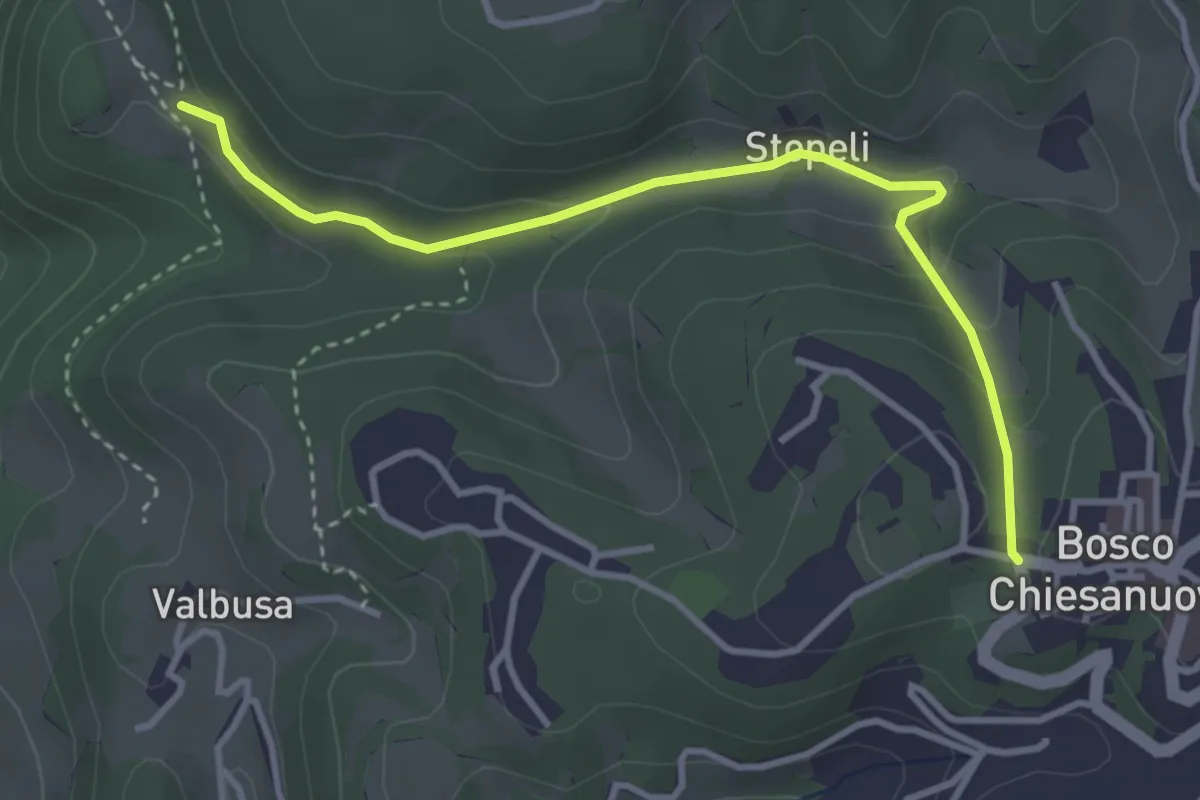
Medium · Trail
Percorso n. 4a
3.7 km · ↑ 135 m · 1 h 9 min · 12 km away
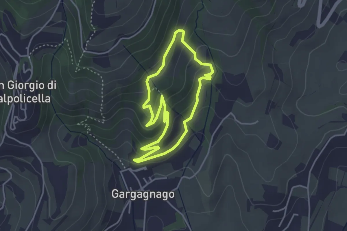
Easy · Trail
green "G" marked trail
3.1 km · ↑ 166 m · 1 h 9 min · 12 km away
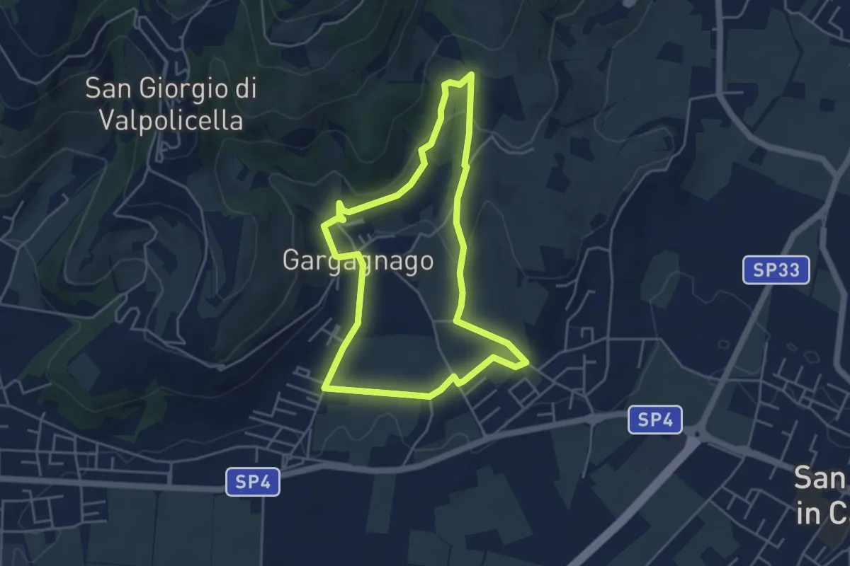
Easy · Trail
blue "G" marked trail
4.2 km · ↑ 130 m · 1 h 20 min · 12 km away
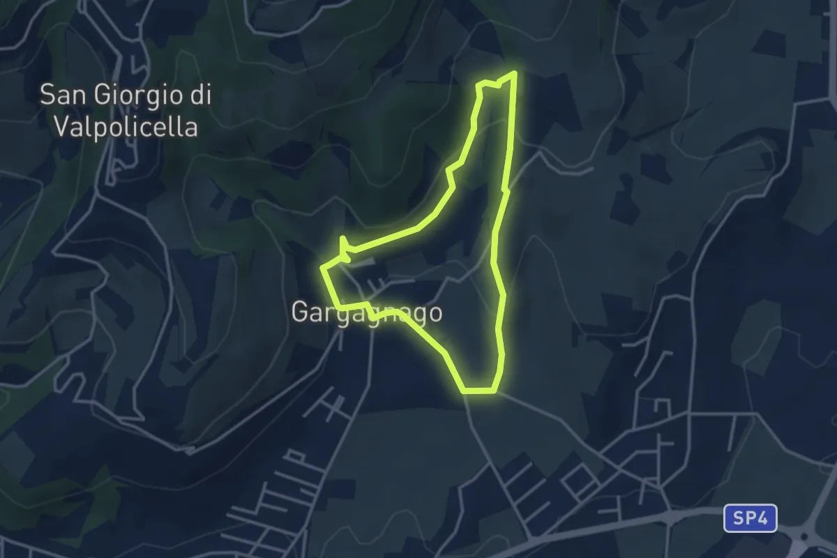
Easy · Trail
yellow "G" marked trail
2.9 km · ↑ 111 m · 59 min · 12 km away
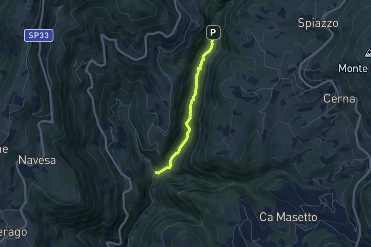
Medium · Trail
Progno di Breonio
4.5 km · ↑ 157 m · 1 h 24 min · 12 km away
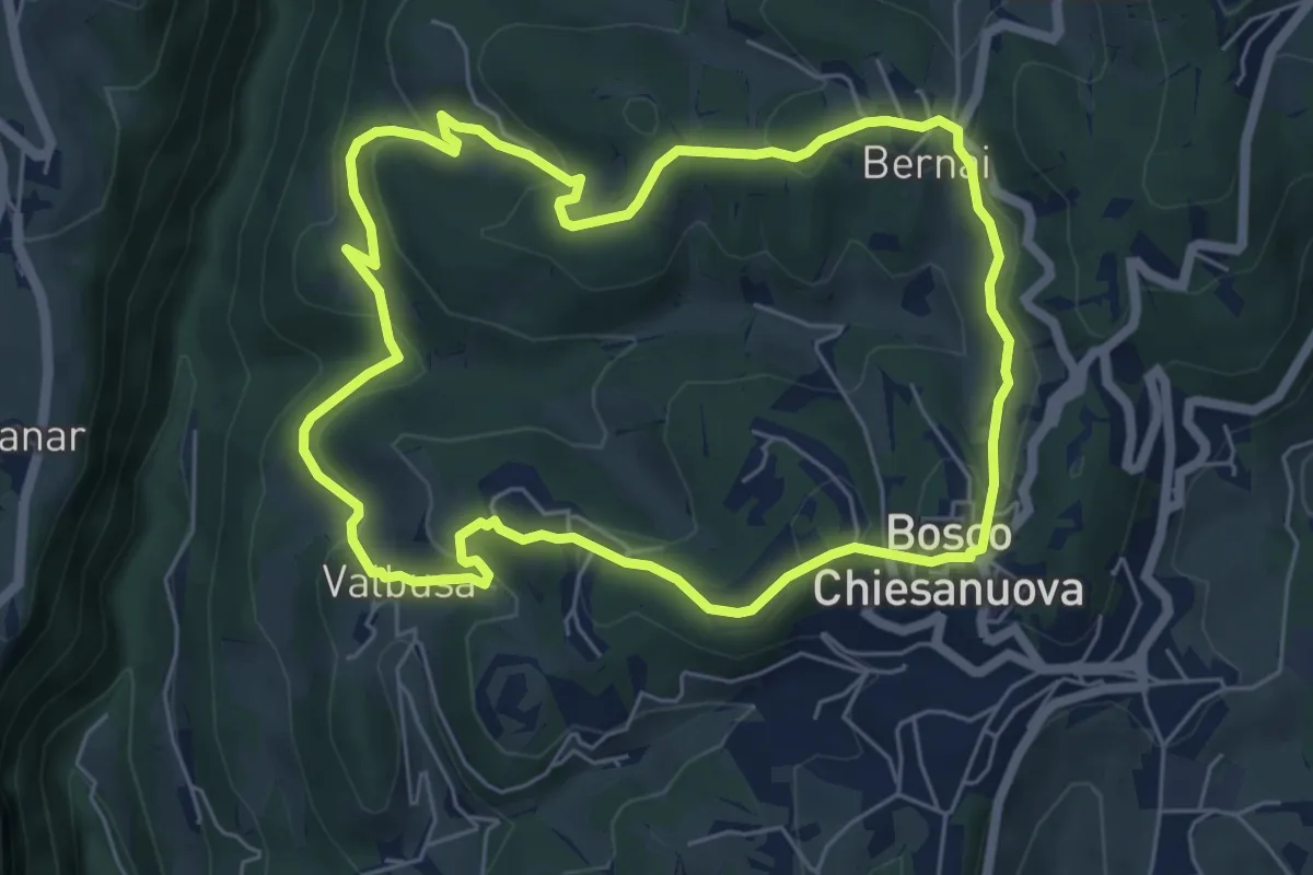
Medium · Trail
Percorso n. 4
6.1 km · ↑ 256 m · 2 h 5 min · 13 km away
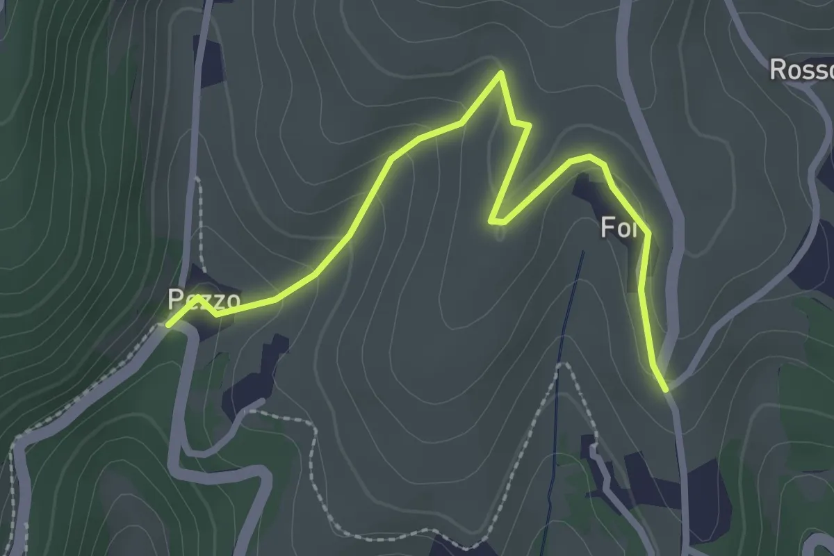
Medium · Trail
Percorso n. 6a variante Pezzo
2.7 km · ↑ 115 m · 54 min · 13 km away
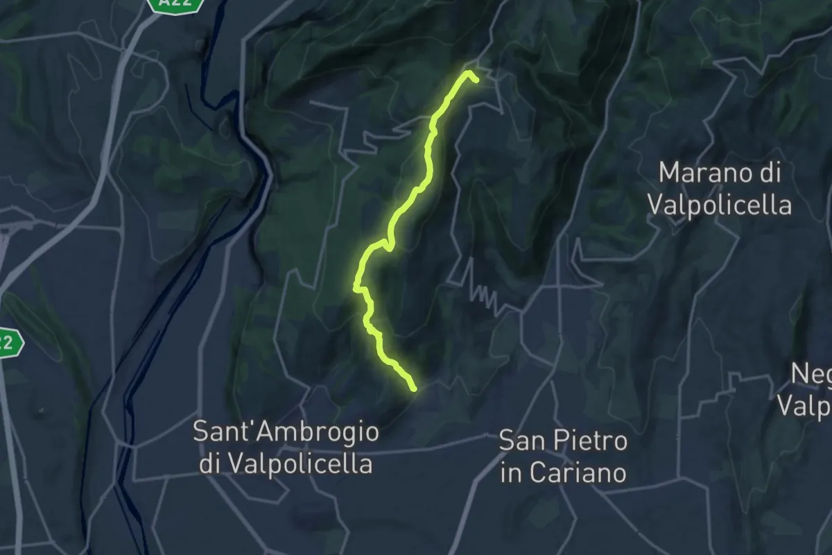
Medium · Trail
Gargagnago - Cavalo
12.4 km · ↑ 561 m · 4 h 9 min · 13 km away
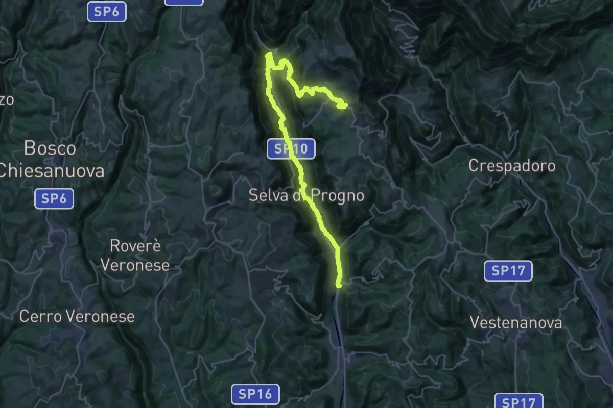
Demanding · Trail
Percorso dei sette vulcani tappa 5
14.2 km · ↑ 962 m · 5 h 16 min · 13 km away
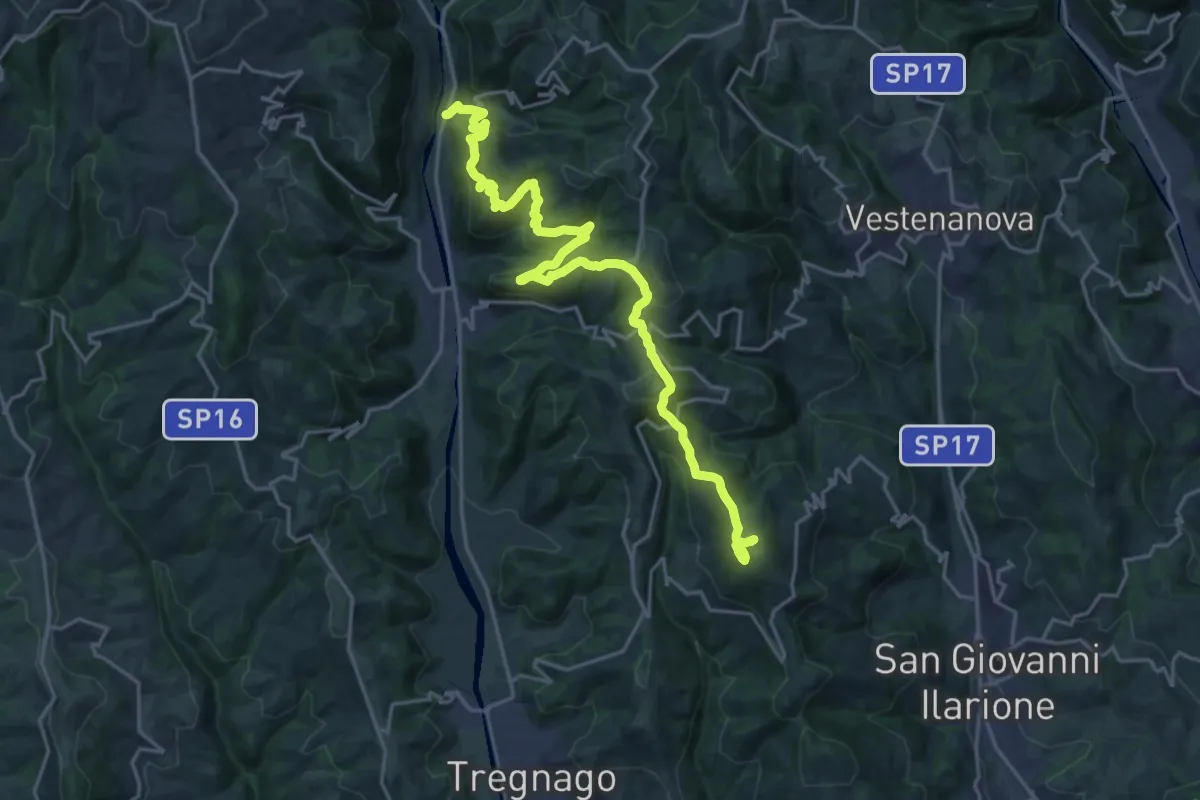
Demanding · Summit
Percorso dei sette vulcani tappa 6
23.6 km · ↑ 1279 m · 8 h 21 min · 13 km away
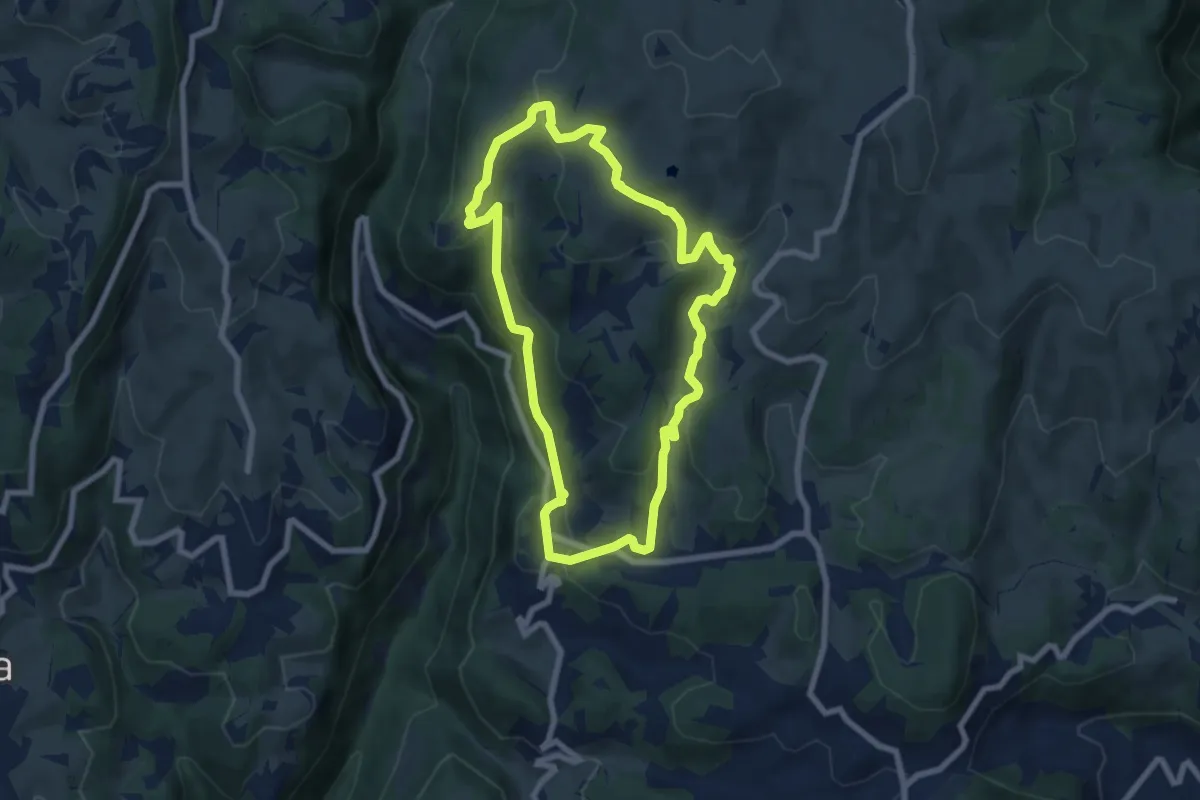
Easy · Trail
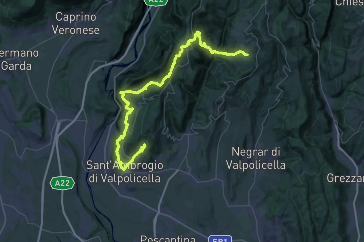
Sentiero San Francesco
6.9 km · ↑ 302 m · 2 h 23 min · 13 km away
Expert · Trail
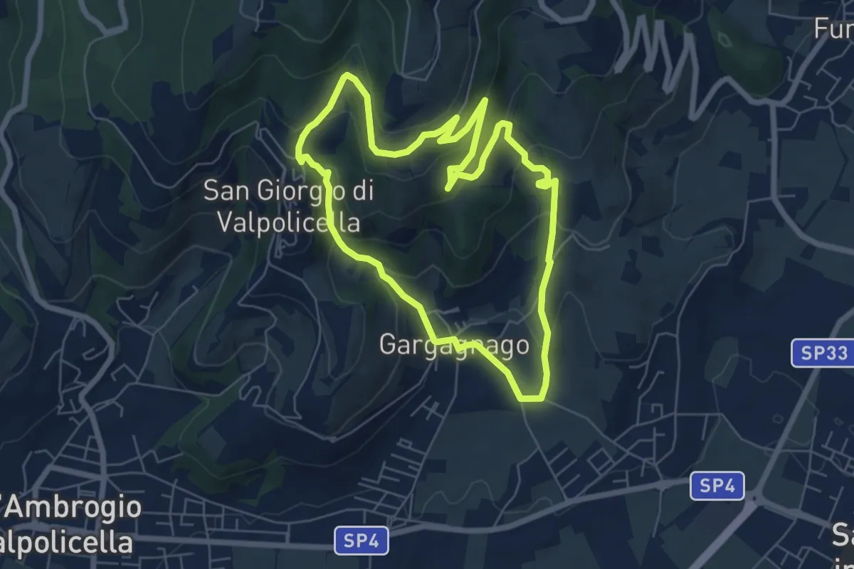
San Giorgio di Valpolicella – Mondrago
22.9 km · ↑ 1259 m · 8 h 20 min · 13 km away
Easy · Trail
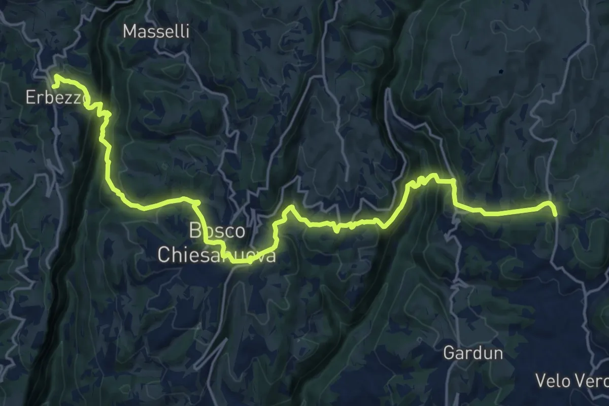
brown "G" marked trail
6.1 km · ↑ 290 m · 2 h 9 min · 13 km away
Demanding · Trail
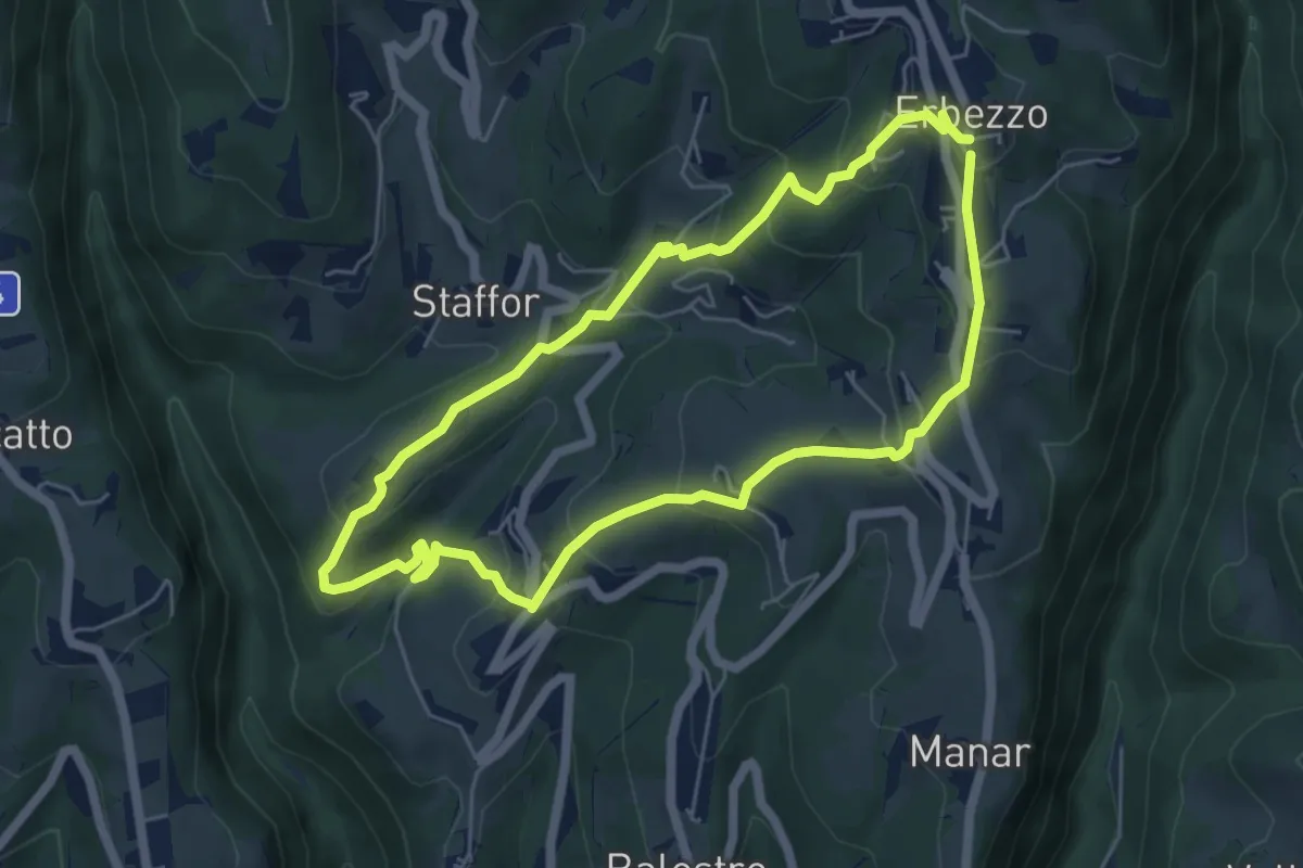
Dorsale Media della Lessinia - Tappa 2
11.6 km · ↑ 670 m · 4 h 23 min · 13 km away
Medium · Trail
Itinerario Giallo
5.5 km · ↑ 319 m · 2 h 4 min · 13 km away
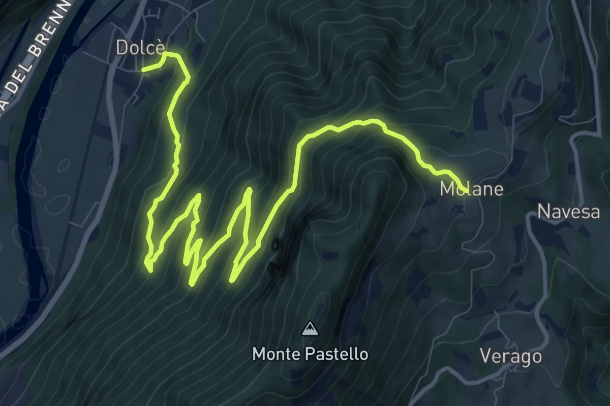
Expert · Trail
Dolcè - Molane
14.1 km · ↑ 903 m · 5 h 17 min · 13 km away
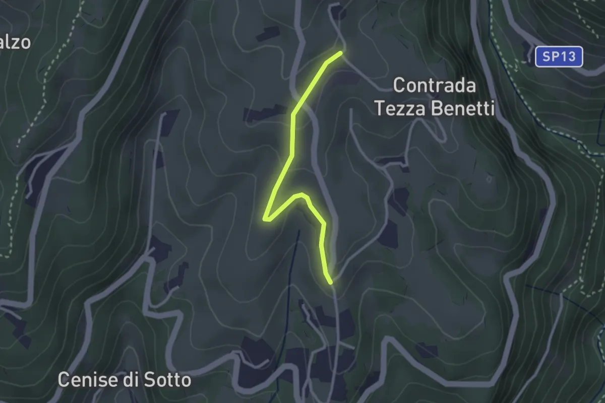
Medium · Trail
Percorso n. 6b variante Truffa
2.4 km · ↑ 78 m · 44 min · 13 km away
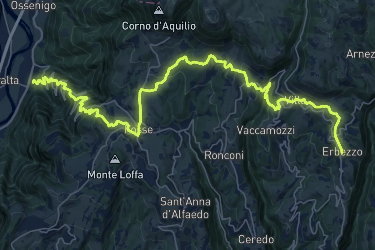
Demanding · Trail
Dorsale Media della Lessinia - Tappa 3
15.0 km · ↑ 350 m · 4 h 59 min · 14 km away
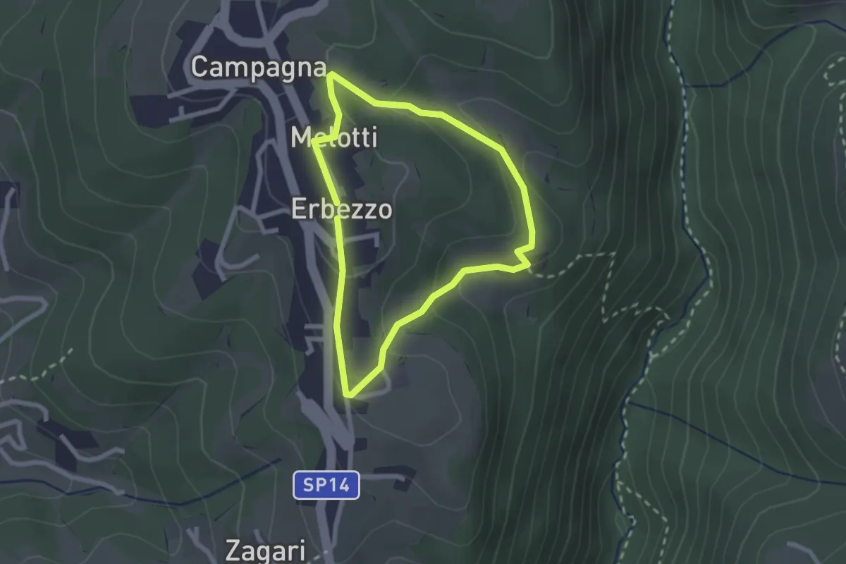
Medium · Trail
Itinerario Viola
1.9 km · ↑ 69 m · 38 min · 14 km away
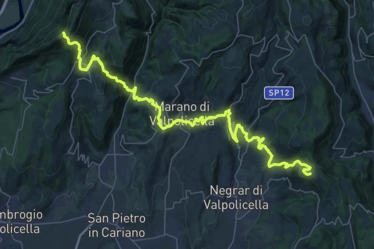
Demanding · Trail
Casa Antolini – sotto Monte Pastello - inn. sent. 240
18.0 km · ↑ 841 m · 6 h 31 min · 14 km away
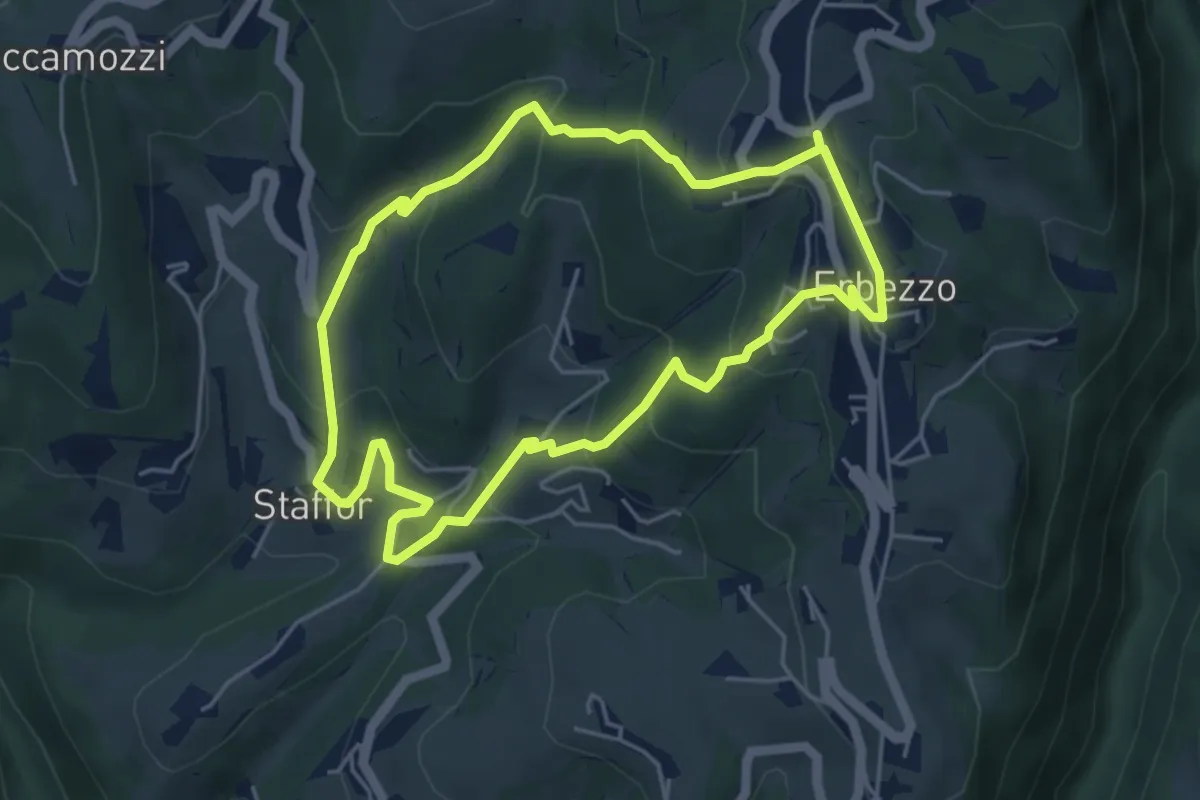
Medium · Trail
Itinerario Arancio
4.7 km · ↑ 275 m · 1 h 46 min · 14 km away
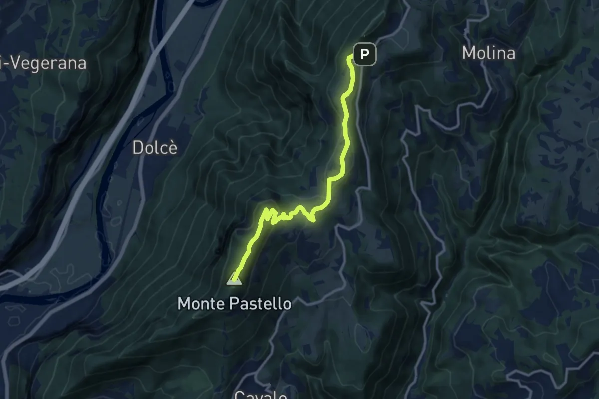
Demanding · Summit
Località Paroletto – Monte Pastello
10.3 km · ↑ 461 m · 3 h 26 min · 14 km away
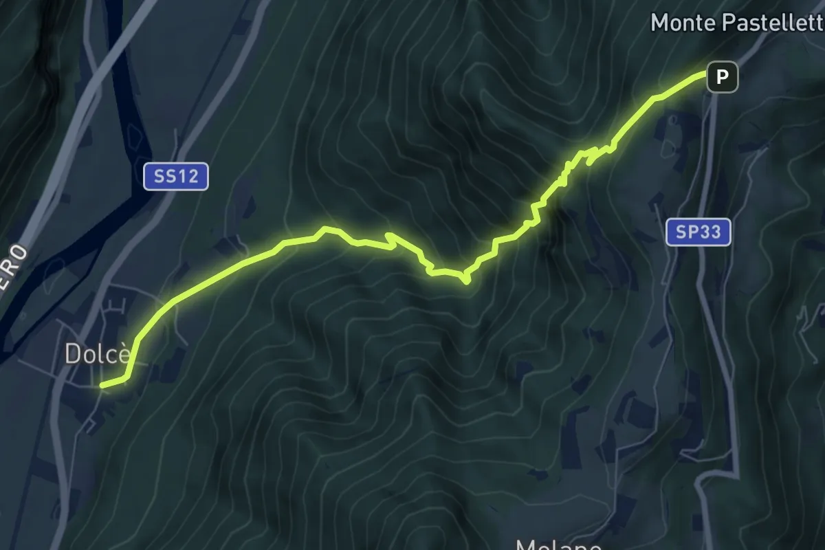
Expert · Trail
Dolcè -Paroletto
8.2 km · ↑ 876 m · 3 h 50 min · 14 km away
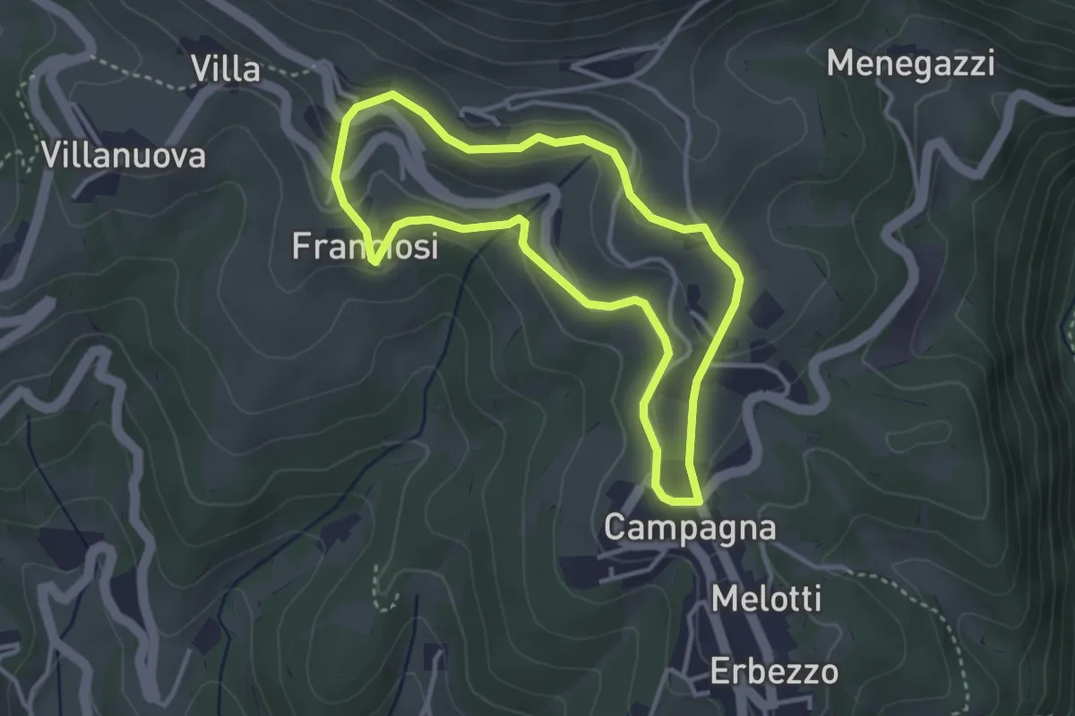
Medium · Trail
Itinerario Bianco-Azzurro
3.1 km · ↑ 94 m · 59 min · 15 km away