Trails near Gubbio
44 hikes starting within 15 km, nearest first.
Nearest first
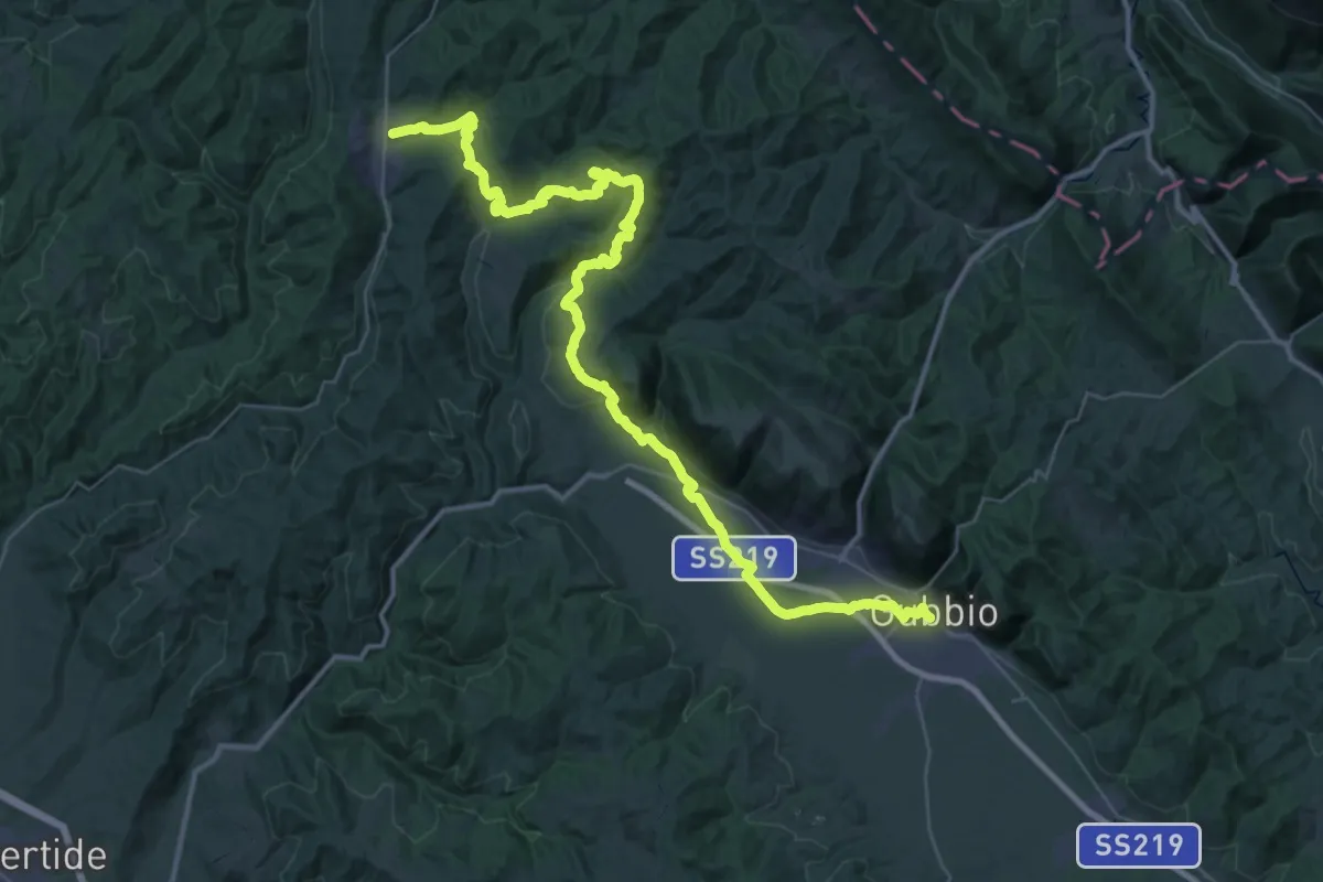
Demanding · Trail
Via di Francesco - Tappa 6
26.1 km · ↑ 757 m · 8 h 8 min · under 1 km away
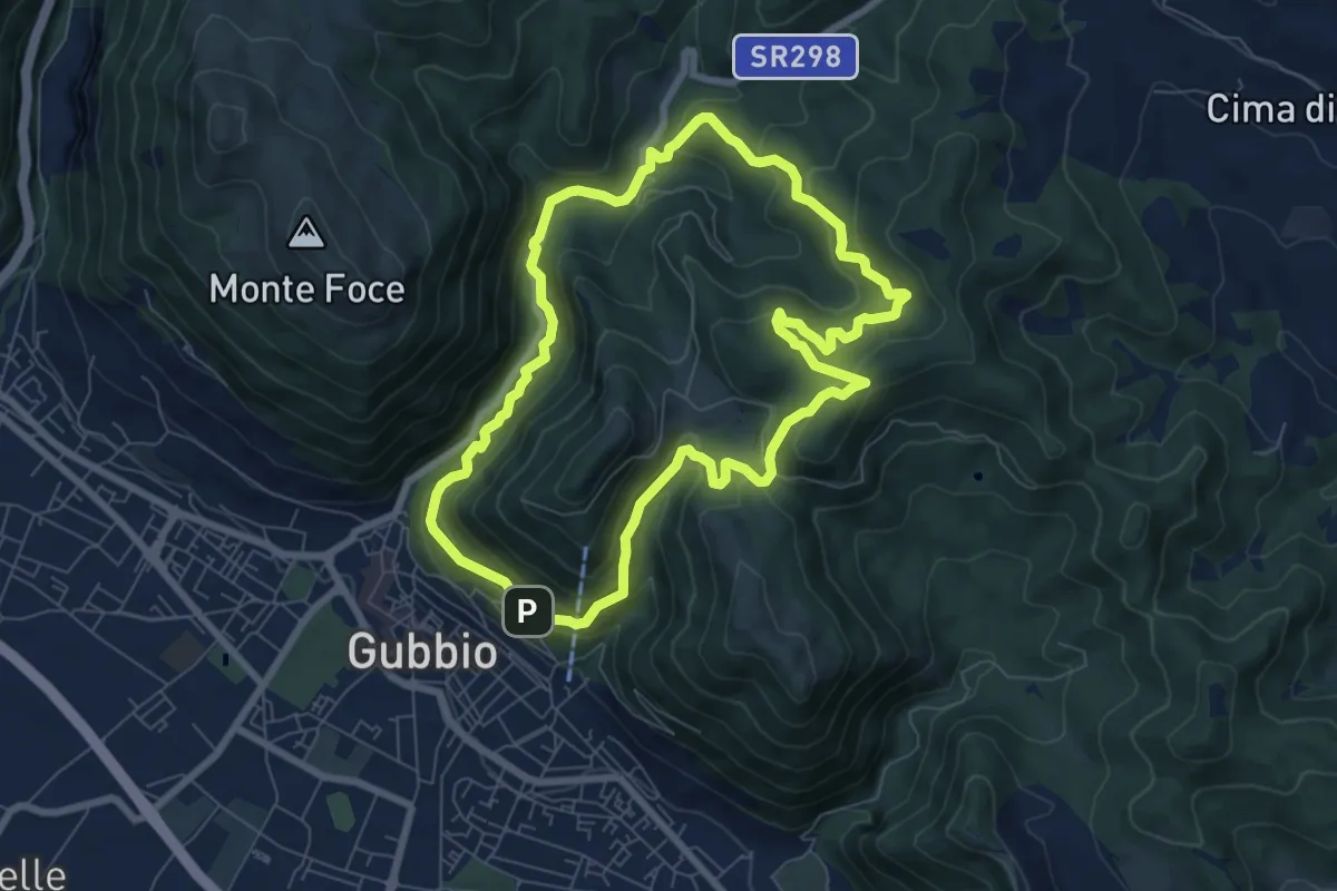
Demanding · Trail
Giro del monte Ingino
7.6 km · ↑ 492 m · 2 h 59 min · under 1 km away
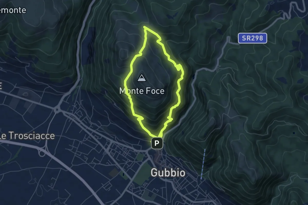
Medium · Trail
Gubbio – Gubbio
6.2 km · ↑ 590 m · 2 h 47 min · 1 km away
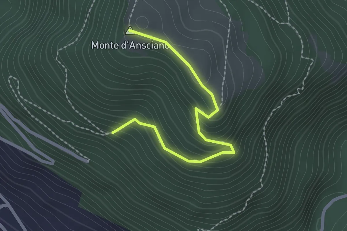
Easy · Summit
Monte D'Ansciano
2.2 km · ↑ 137 m · 49 min · 1 km away
Easy · Summit
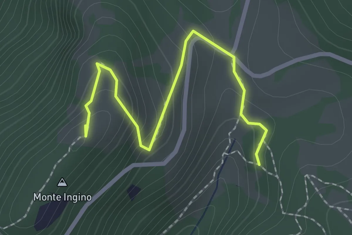
Monte Ingino
2.1 km · ↑ 142 m · 49 min · 1 km away
Demanding · Trail
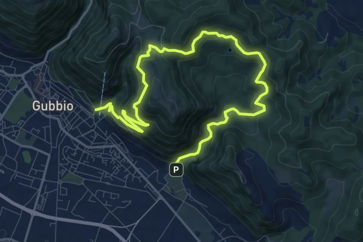
Strada Madonna del Sasso (Cimitero di Gubbio) – Monastero San Girolamo Gubbio
14.8 km · ↑ 873 m · 5 h 23 min · 2 km away
Easy · Trail
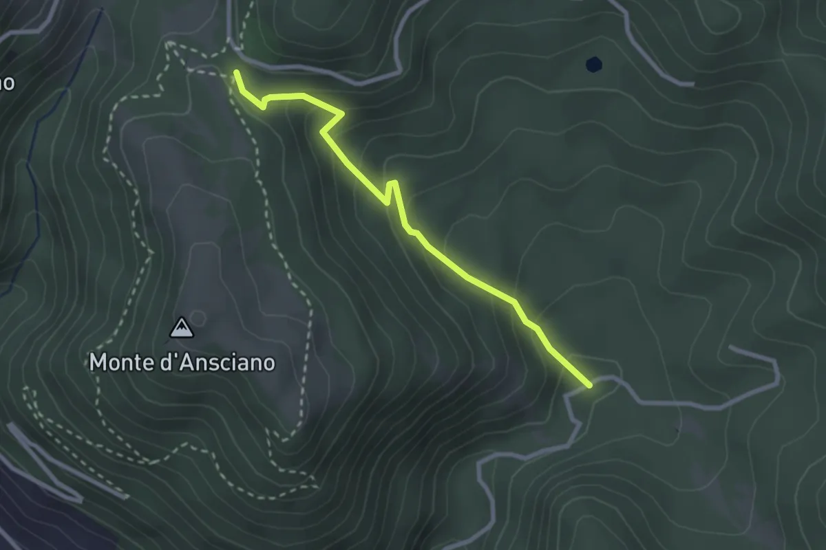
Intersezione percorso 261 – Chiesa Madonna del Sasso
2.7 km · ↑ 200 m · 1 h 4 min · 2 km away
Demanding · Trail
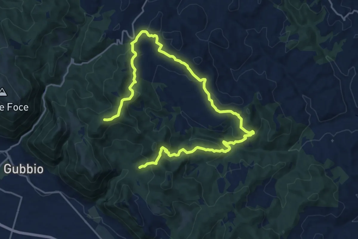
Villamagna
20.2 km · ↑ 788 m · 6 h 28 min · 3 km away
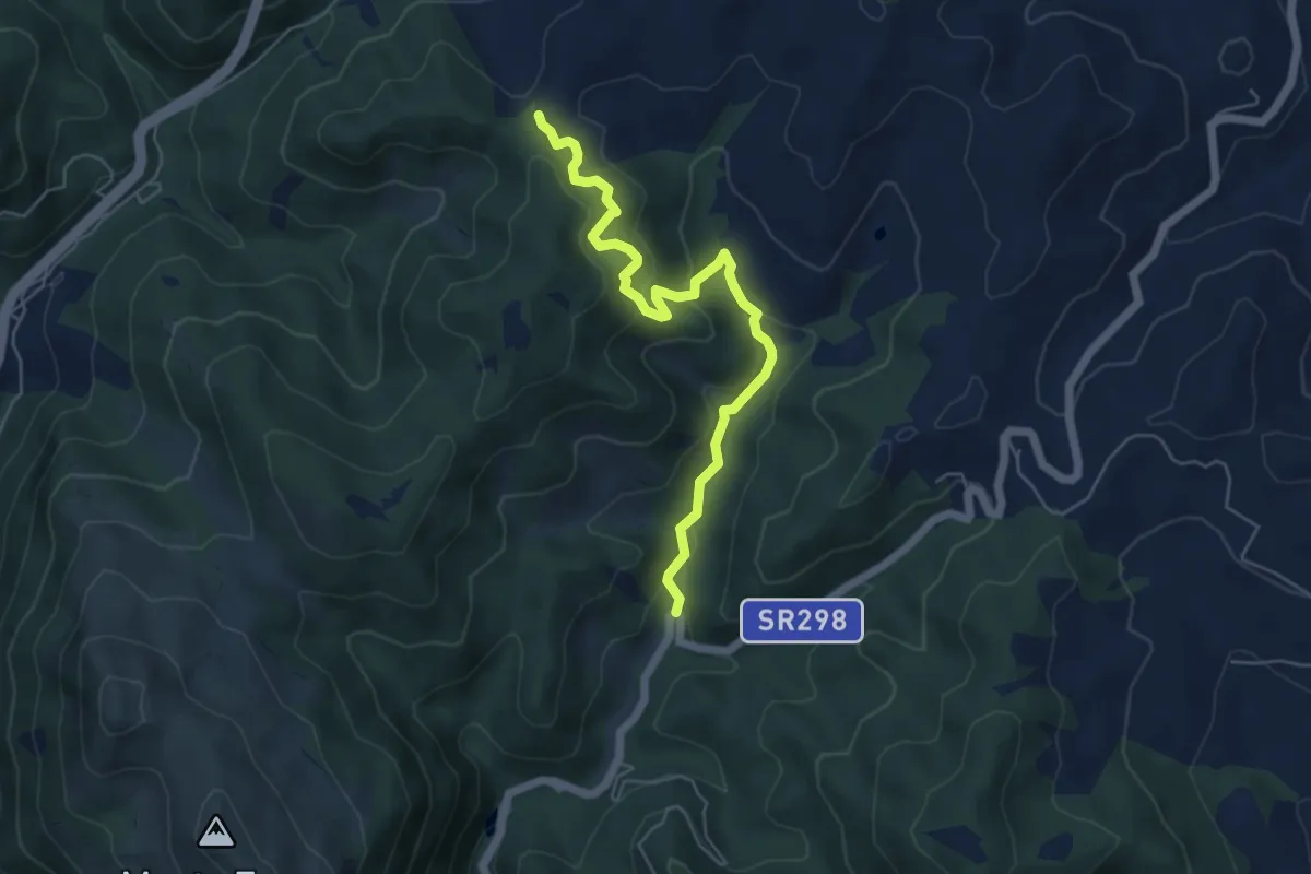
Medium · Trail
Serra Grande
5.9 km · ↑ 320 m · 2 h 5 min · 4 km away
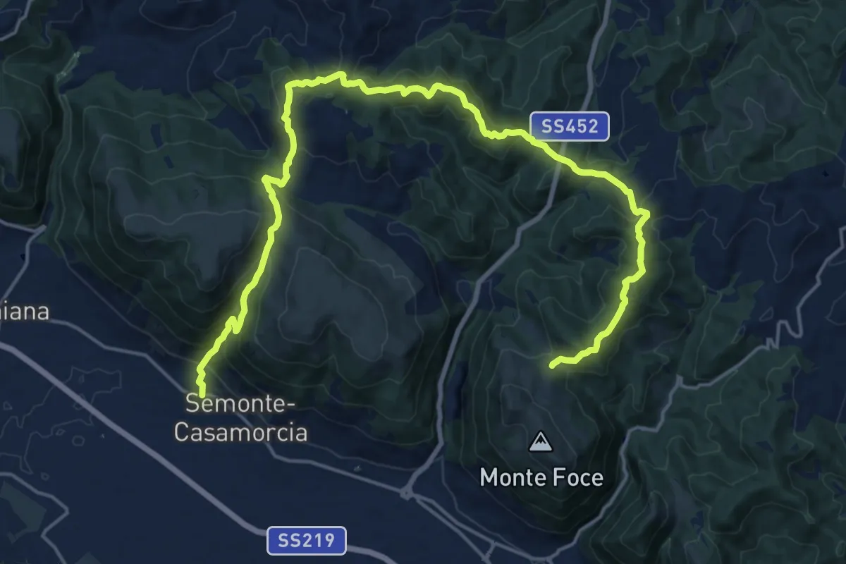
Demanding · Trail
Petazzano
11.7 km · ↑ 828 m · 4 h 33 min · 5 km away
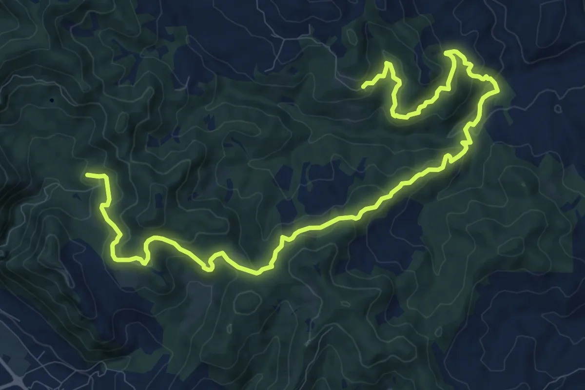
Demanding · Trail
Intersezione percorso 255 – Intersezione percorso 255
17.2 km · ↑ 837 m · 5 h 52 min · 5 km away
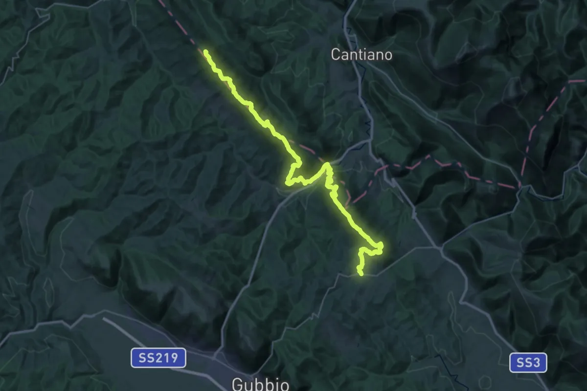
Demanding · Summit
Strada regionale 298 Eugubina – Caisabatini
37.7 km · ↑ 2060 m · 13 h 22 min · 6 km away
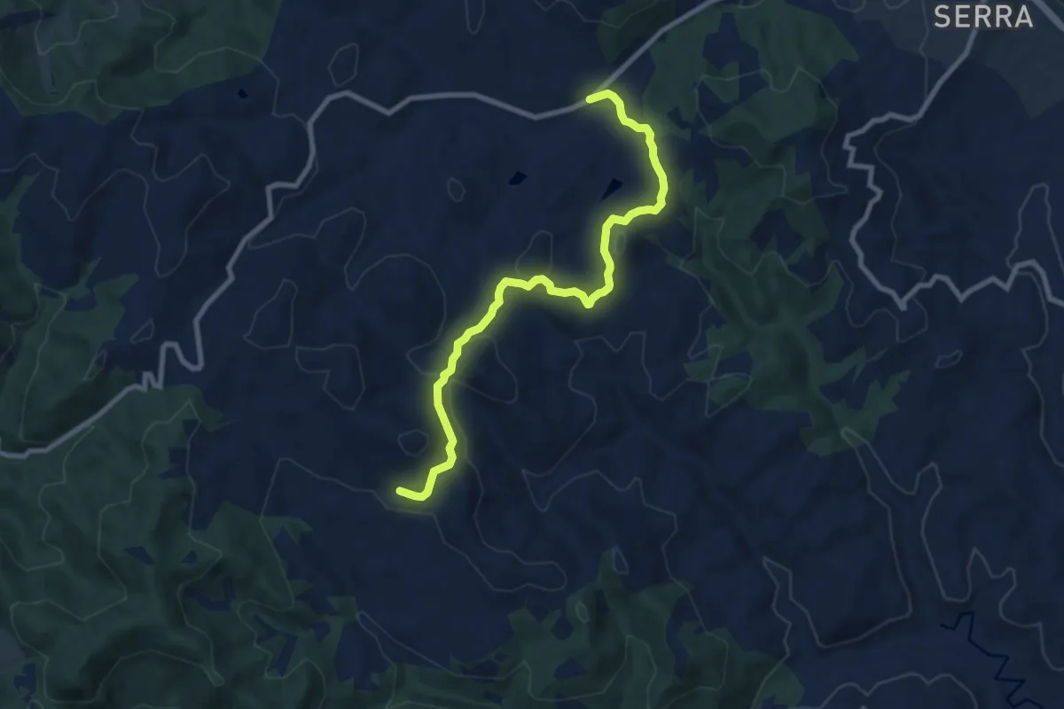
Medium · Trail
Troppola
9.1 km · ↑ 349 m · 2 h 54 min · 7 km away
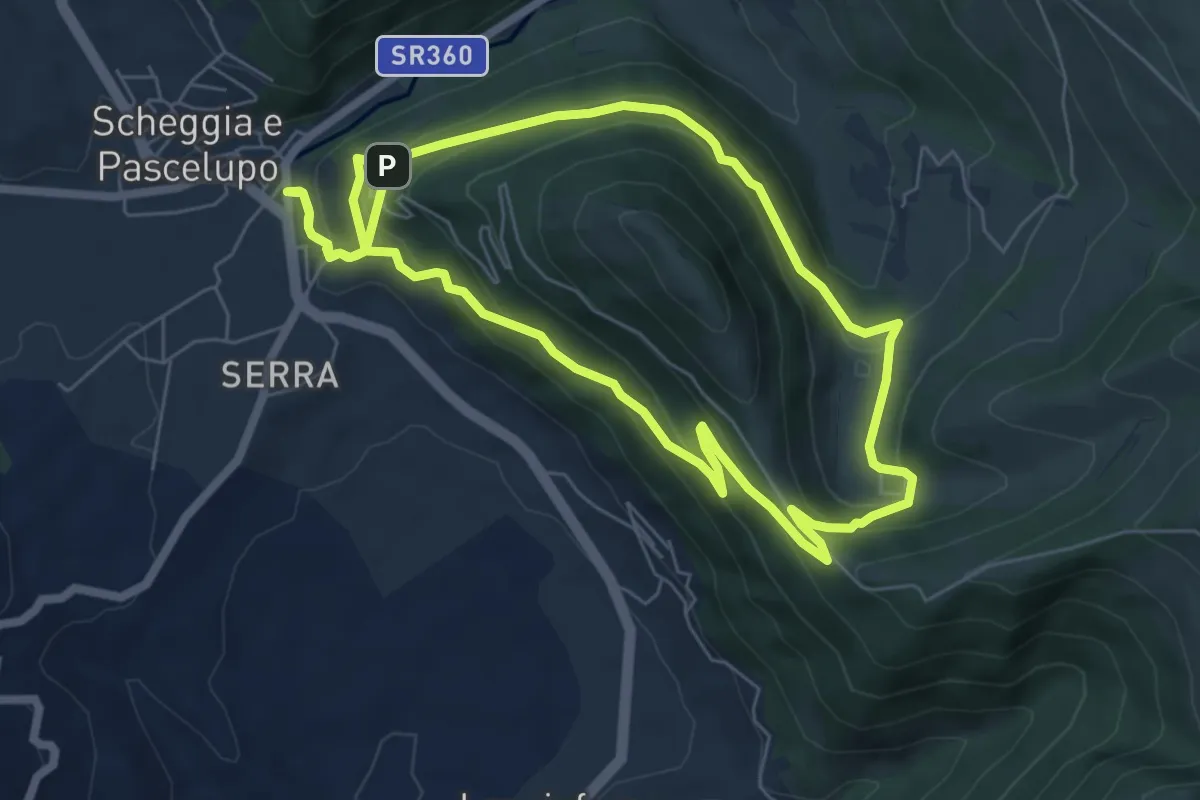
Medium · Trail
Scheggia – Scheggia
6.7 km · ↑ 338 m · 2 h 26 min · 10 km away
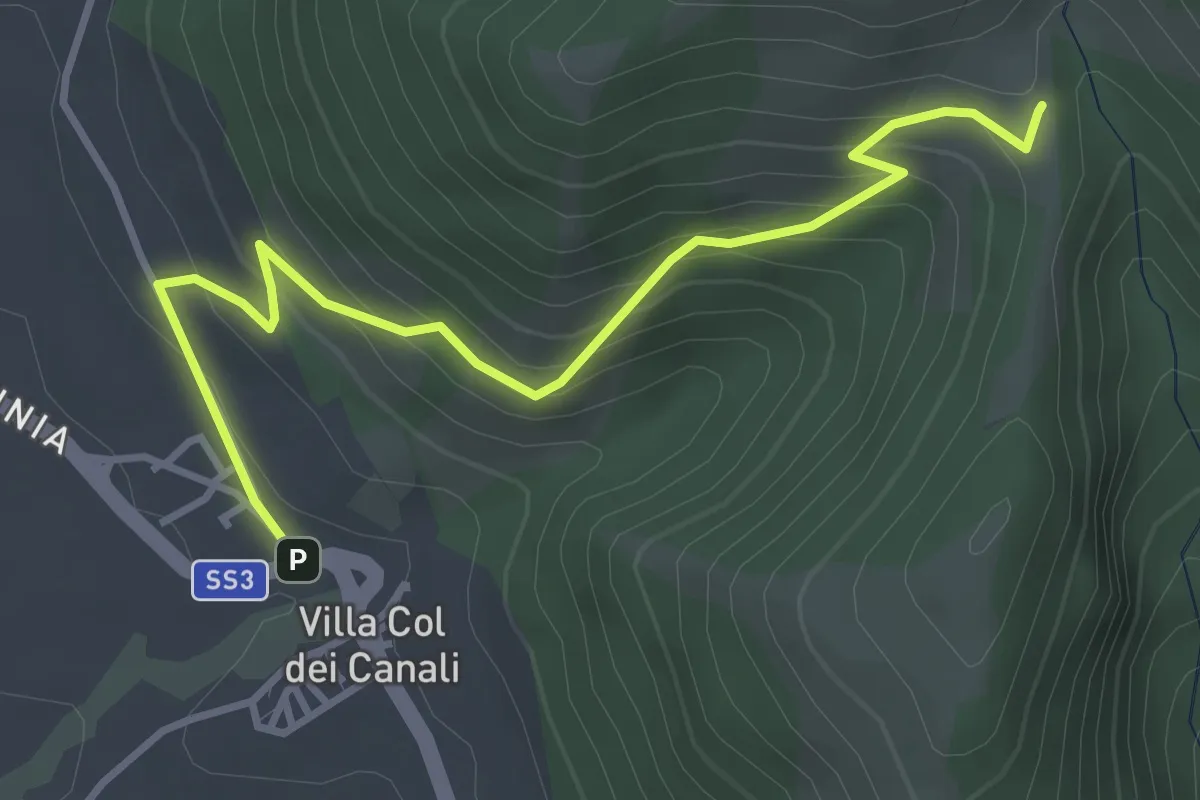
Easy · Summit
Villa Col dei Canali – Sella Poggio Foce
4.2 km · ↑ 295 m · 1 h 38 min · 10 km away
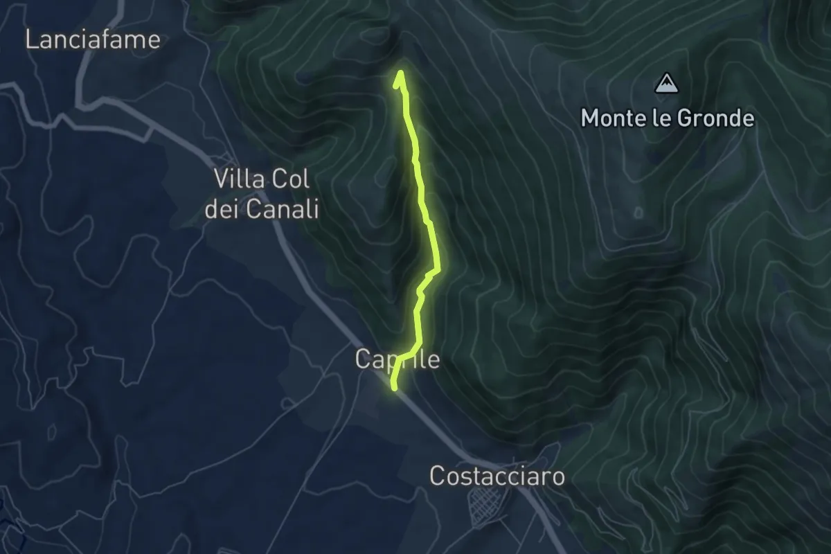
Easy · Summit
La Fragolosa – Caprile
4.7 km · ↑ 309 m · 1 h 46 min · 10 km away
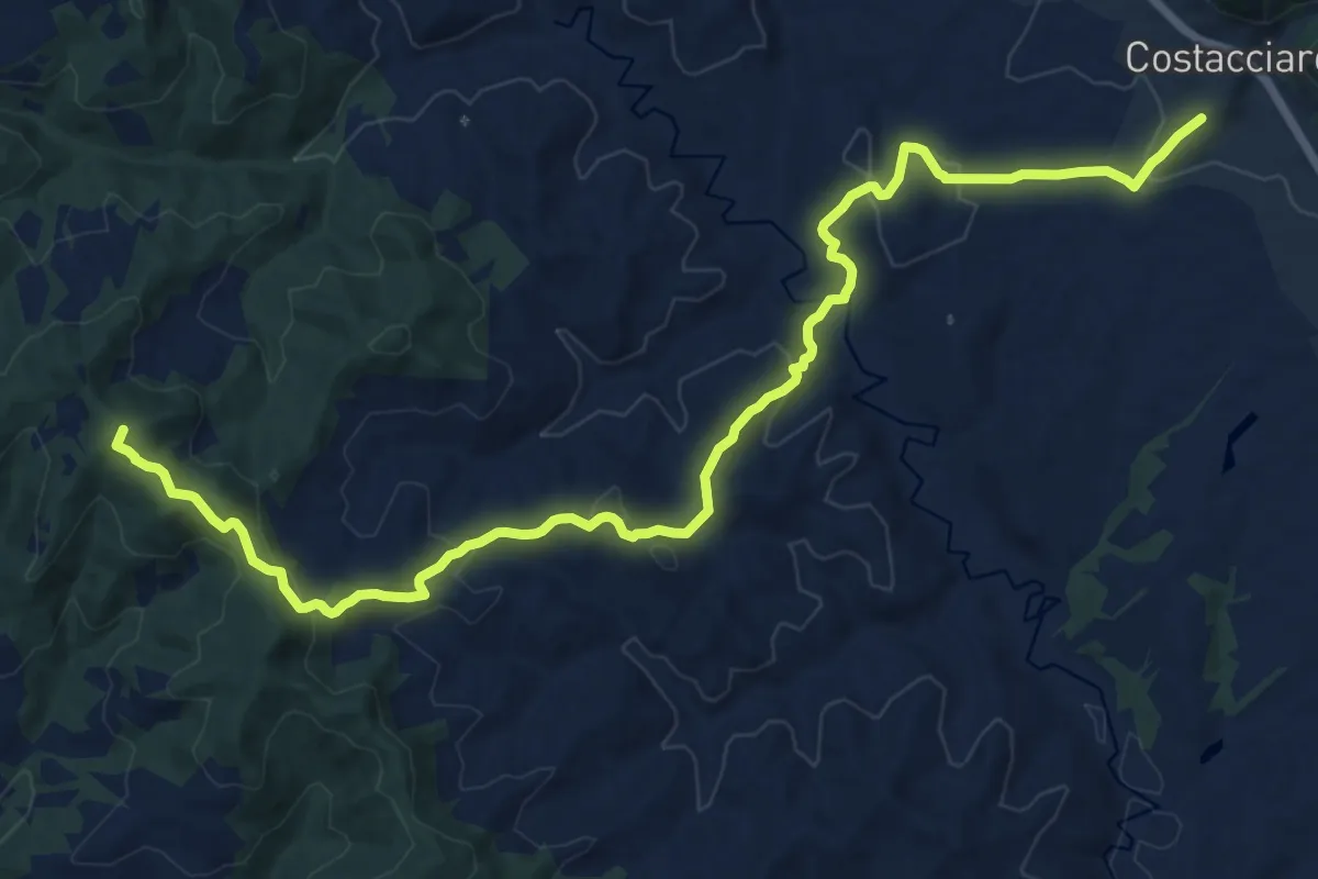
Demanding · Summit
Costacciaro
18.3 km · ↑ 680 m · 5 h 47 min · 11 km away
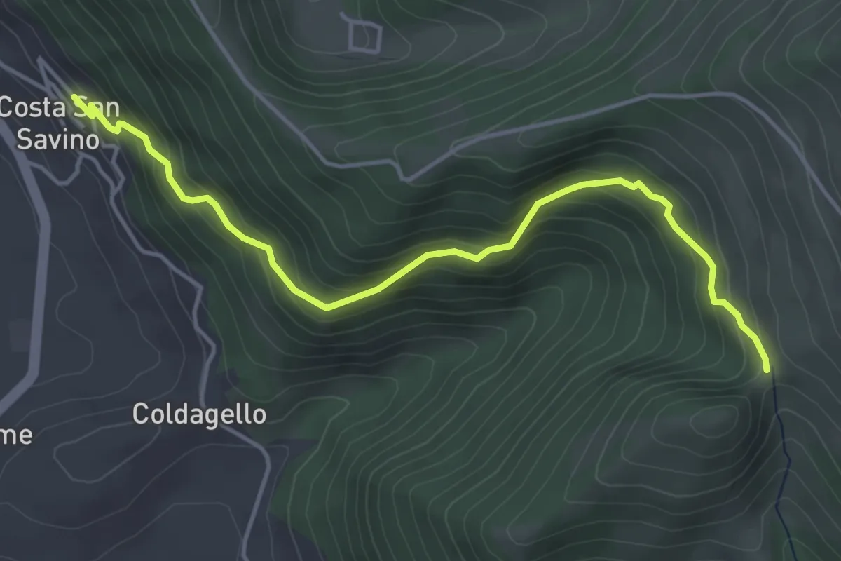
Medium · Trail
Costa San Savino – Intersezione percorso 278
4.8 km · ↑ 340 m · 1 h 53 min · 11 km away
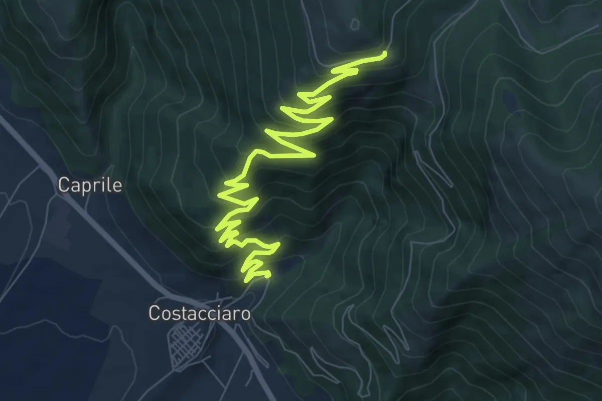
Medium · Trail
Costacciaro – Strada del Sasso Pecoraccio
10.9 km · ↑ 706 m · 4 h 6 min · 11 km away
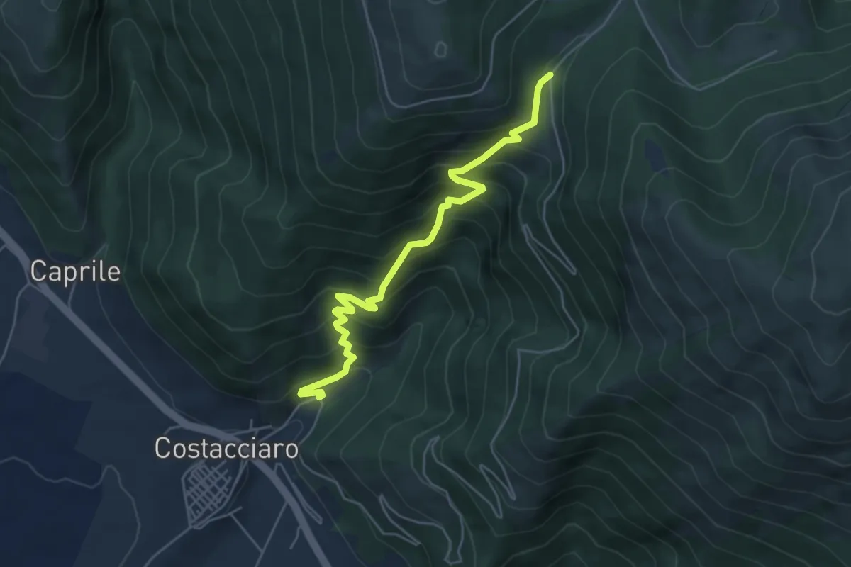
Medium · Trail
Costacciaro – Pantanella
5.5 km · ↑ 532 m · 2 h 27 min · 11 km away
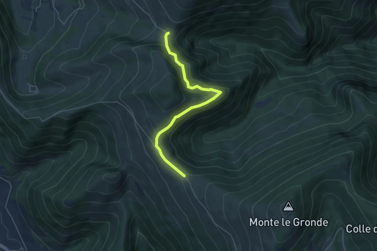
Medium · Trail
Intersezione Sentiero Italia – Intersezione percorso 232
4.9 km · ↑ 214 m · 1 h 37 min · 12 km away
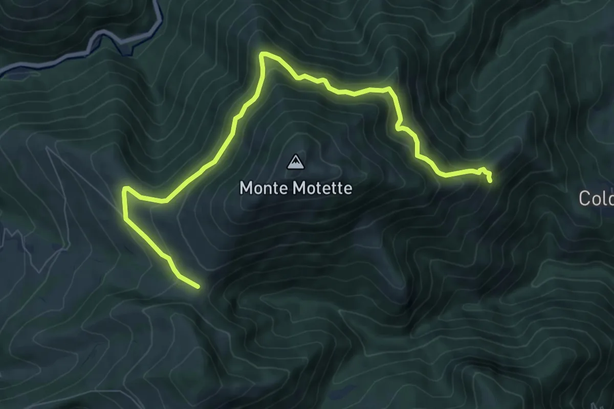
Medium · Trail
Serra Piana – Pian di Rolla
9.6 km · ↑ 631 m · 3 h 38 min · 12 km away
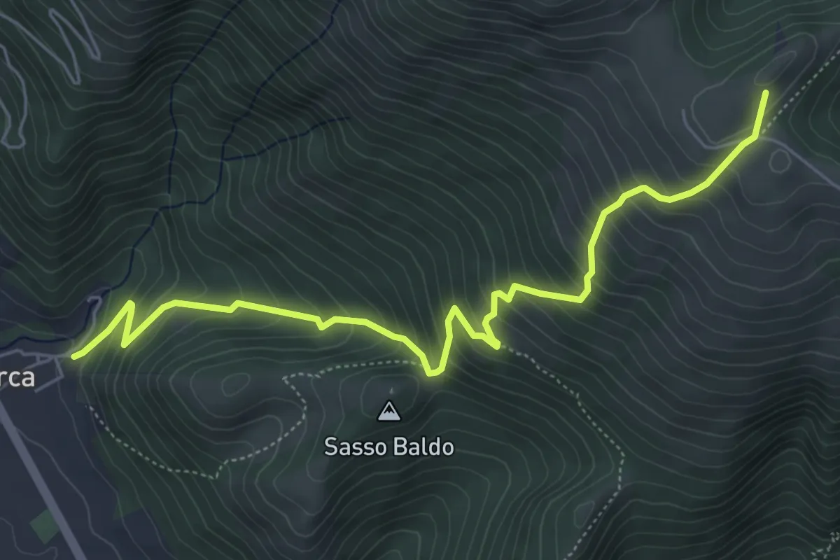
Medium · Summit
Pian di Monte (Sent. n. 226) – Villa Scirca
6.8 km · ↑ 686 m · 3 h 6 min · 12 km away
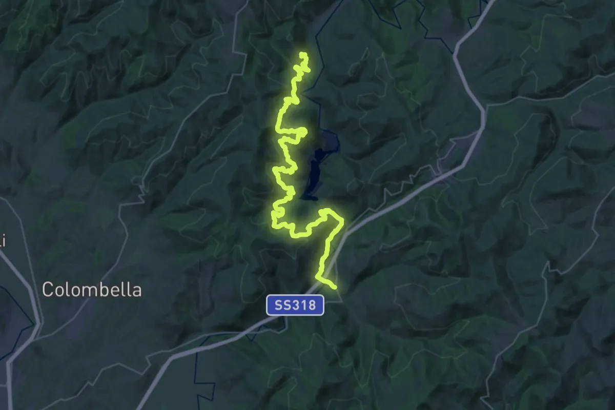
Demanding · Trail
Via di Francesco - Tappa 9 Eremo di San Pietro in Vigneto-Valfabbrica
21.6 km · ↑ 809 m · 7 h 14 min · 13 km away
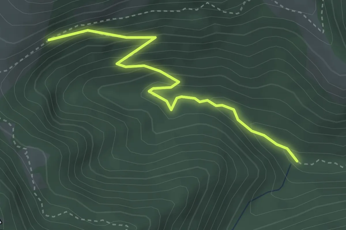
Medium · Trail
Intersezione percorso 231 – Intersezione Sentiero Italia
3.6 km · ↑ 252 m · 1 h 23 min · 13 km away
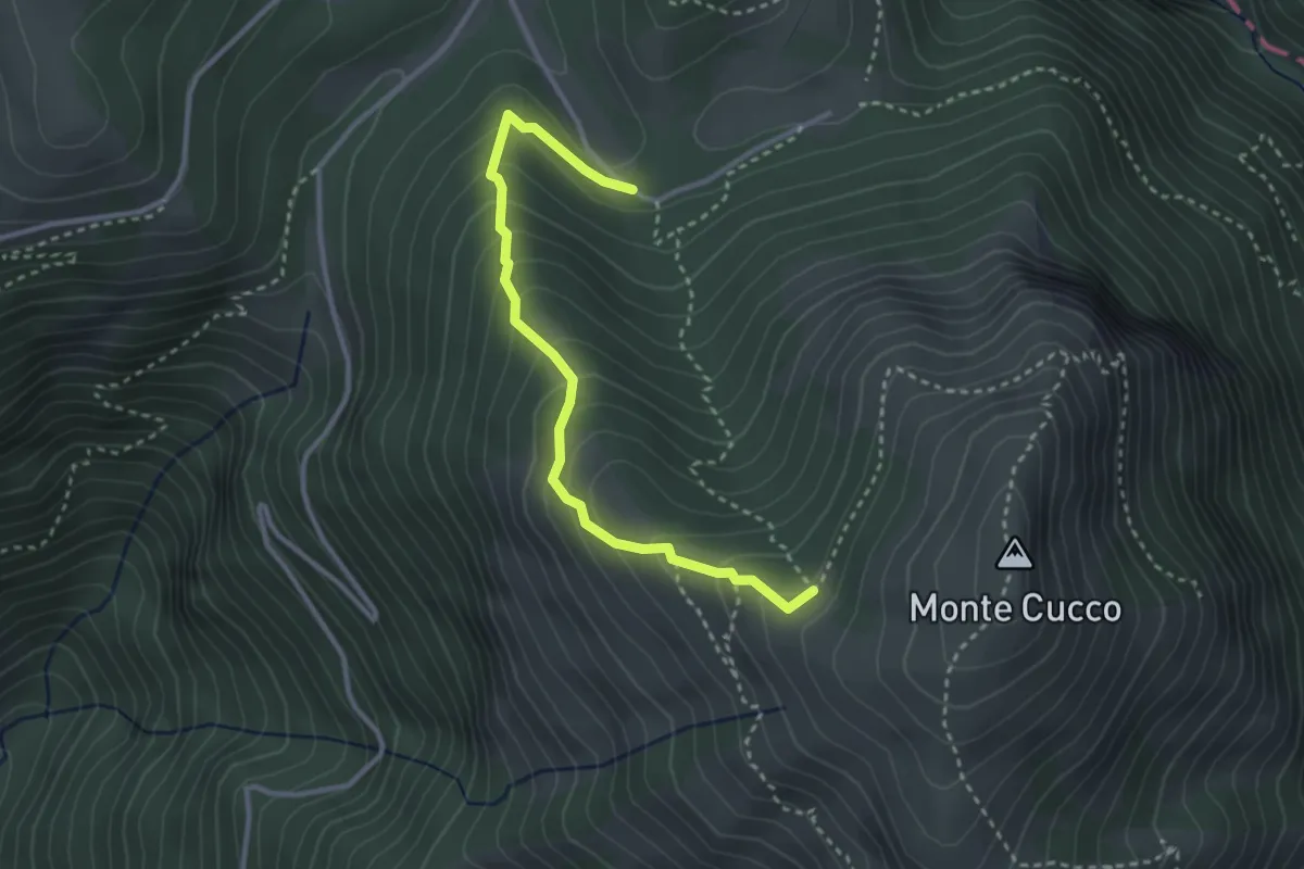
Easy · Trail
Intersezione percorso 226 Valrachena – I Pianelli
3.3 km · ↑ 294 m · 1 h 26 min · 13 km away
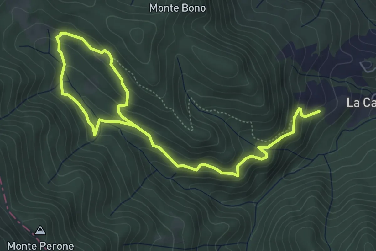
Medium · Trail
Bosco di Tecchie - Itinerario classico
7.9 km · ↑ 499 m · 2 h 56 min · 13 km away
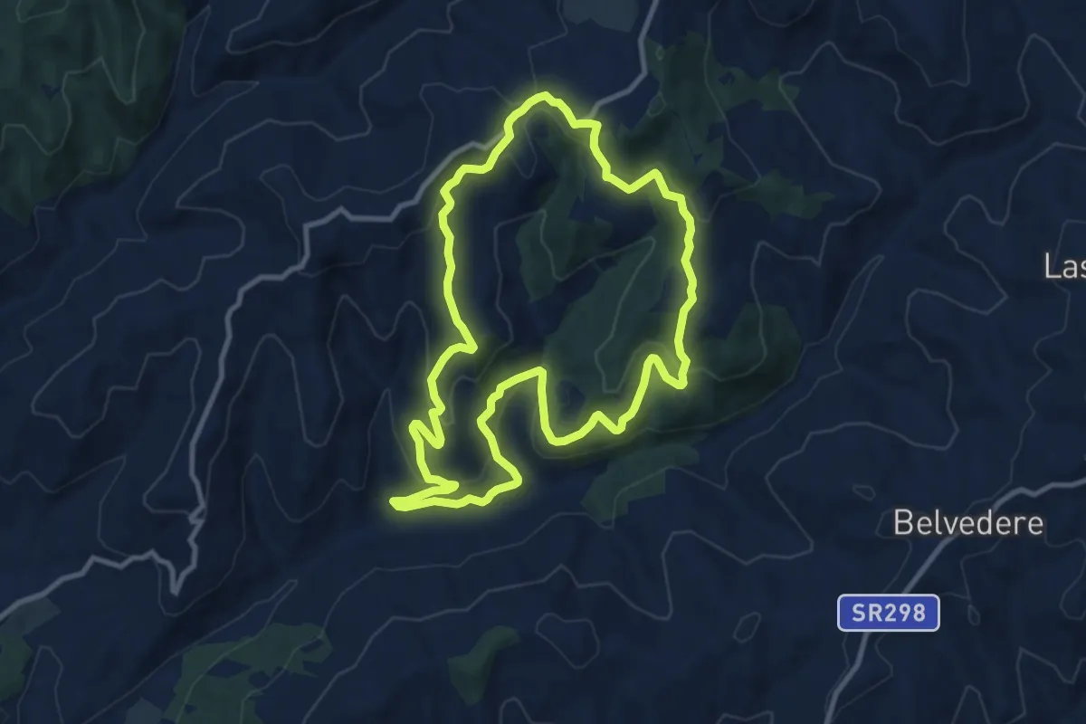
Medium · Trail
Casella Ventia – Casella Ventia
10.6 km · ↑ 461 m · 3 h 39 min · 13 km away
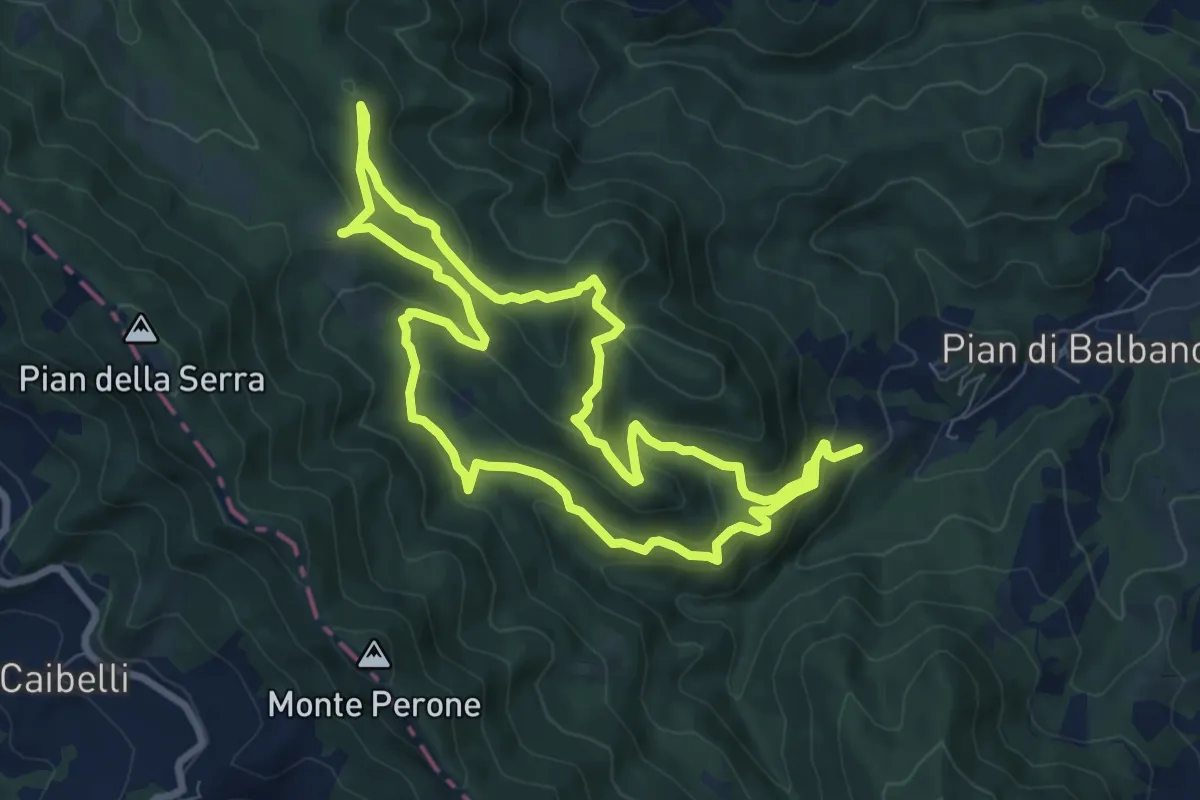
Demanding · Trail
Bosco di Tecchie - Itinerario del Grande Anello
16.2 km · ↑ 828 m · 5 h 37 min · 13 km away
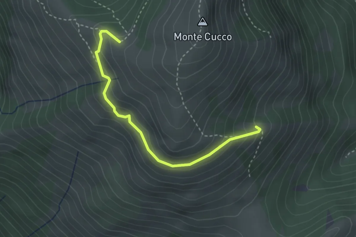
Medium · Cabin
Costa della Valcella – Valrachena
3.1 km · ↑ 197 m · 1 h 10 min · 13 km away
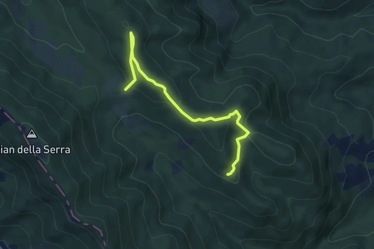
Easy · Trail
Sentiero del Cerro 276A
5.1 km · ↑ 164 m · 1 h 34 min · 13 km away
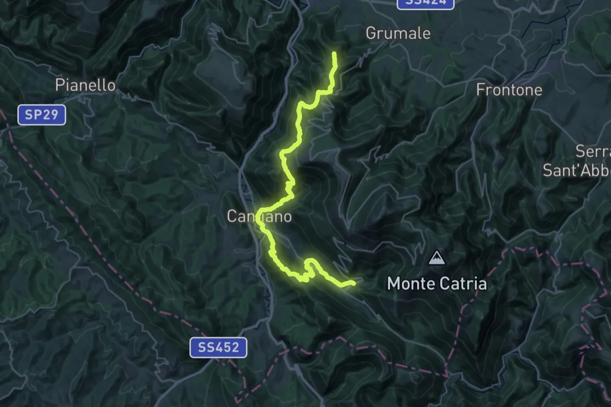
Demanding · Summit
Chiaserna – Cagli
30.5 km · ↑ 1910 m · 11 h 21 min · 14 km away
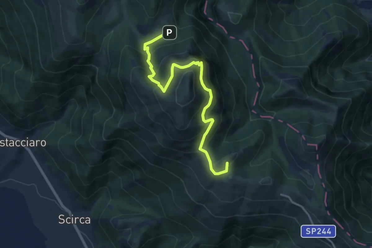
Demanding · Summit
Intersezione Sentiero Italia – Pian delle Macinare
9.9 km · ↑ 816 m · 4 h 6 min · 14 km away
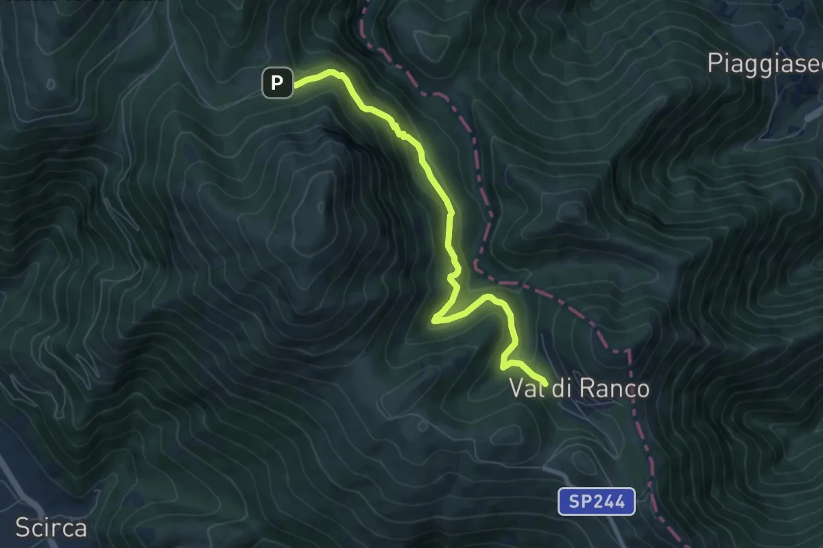
Medium · Trail
Val di Ranco – Pian delle Macinare
7.7 km · ↑ 426 m · 2 h 45 min · 14 km away
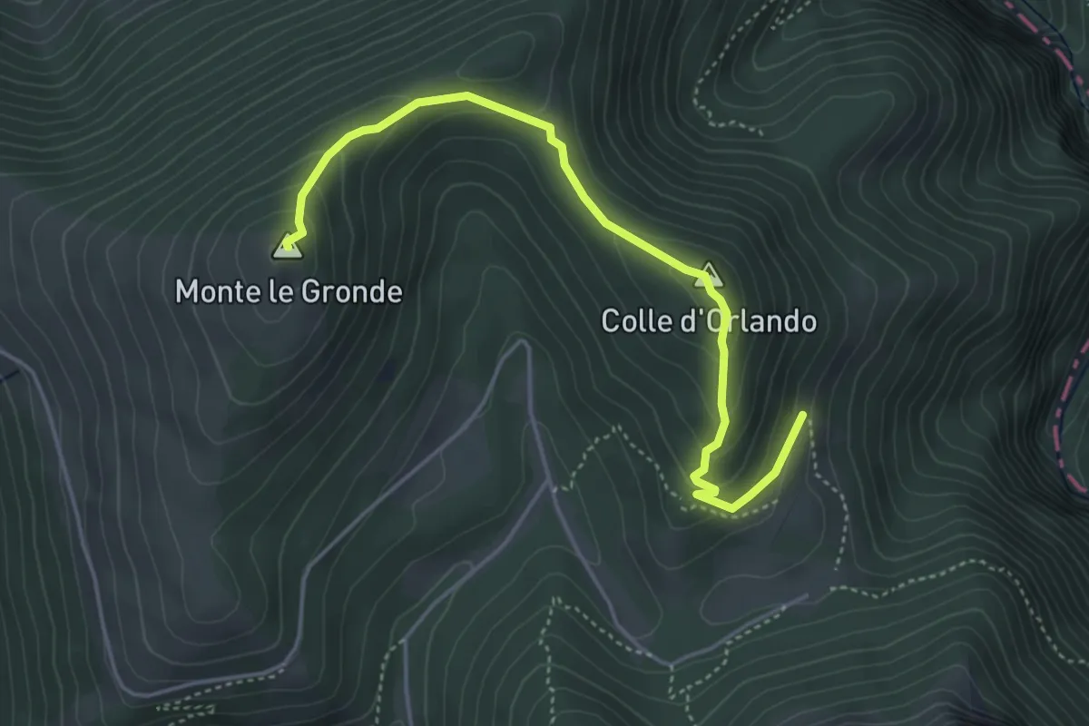
Easy · Summit
Intersezione Sentiero Italia – Monte Le Gronde
4.9 km · ↑ 261 m · 1 h 43 min · 14 km away
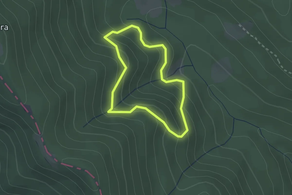
Easy · Trail
Sentiero del Faggio 276B
1.8 km · ↑ 155 m · 48 min · 14 km away
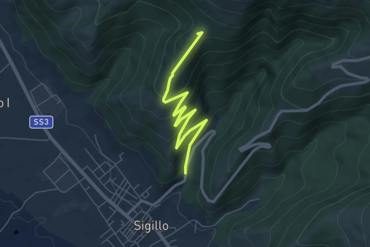
Easy · Summit
Intersezione percorso 292 – Sigillo
5.9 km · ↑ 311 m · 2 h 4 min · 14 km away
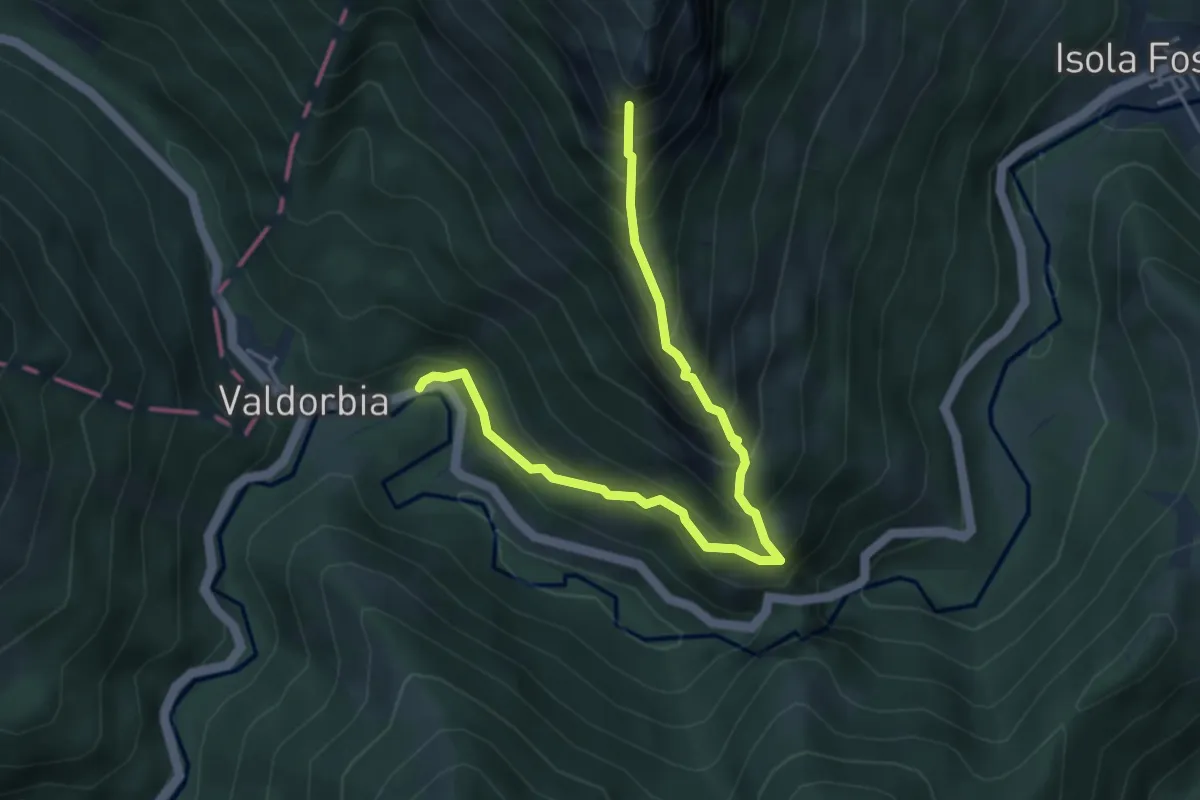
Expert · Summit
Strada regionale Arceviese – Rifugio Boccatore
4.9 km · ↑ 617 m · 2 h 29 min · 14 km away
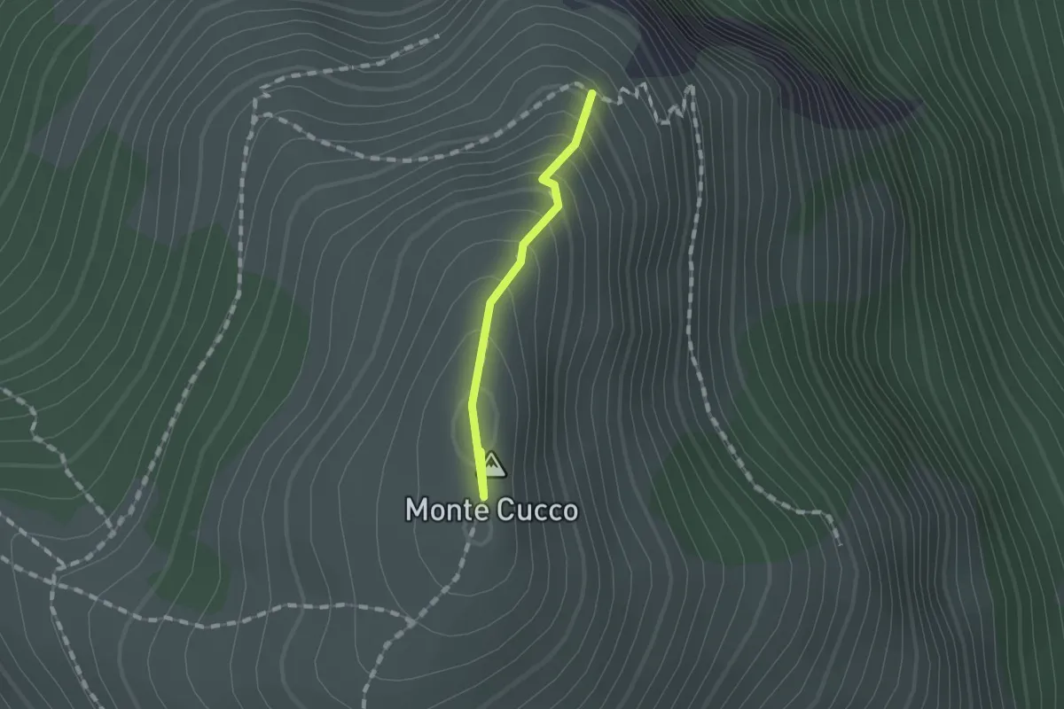
Easy · Summit
Intersezione percorso 226 – Costa della Valcella
1.0 km · ↑ 111 m · 29 min · 14 km away
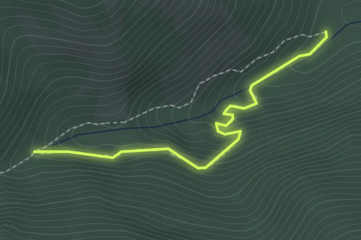
Medium · Trail
Intersezione percorso 231 – Intersezione percorso 231
2.0 km · ↑ 188 m · 53 min · 14 km away
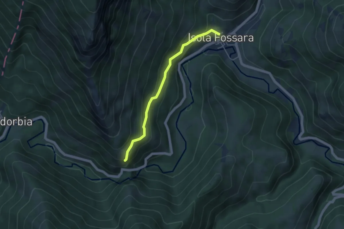
Medium · Trail
Intersezione percorso 284 – Isola Fossara
3.7 km · ↑ 264 m · 1 h 26 min · 14 km away
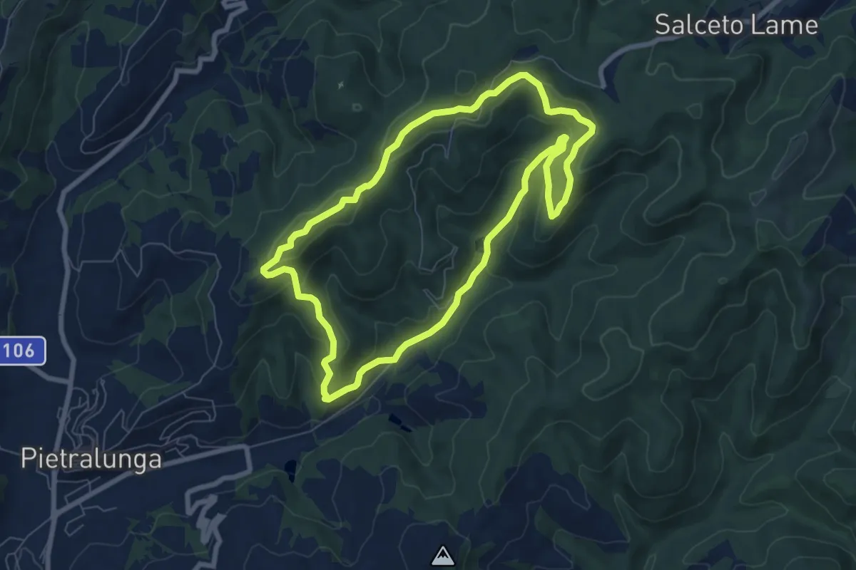
Easy · Trail
Anello del Lupo di Varrea
7.3 km · ↑ 308 m · 2 h 29 min · 14 km away
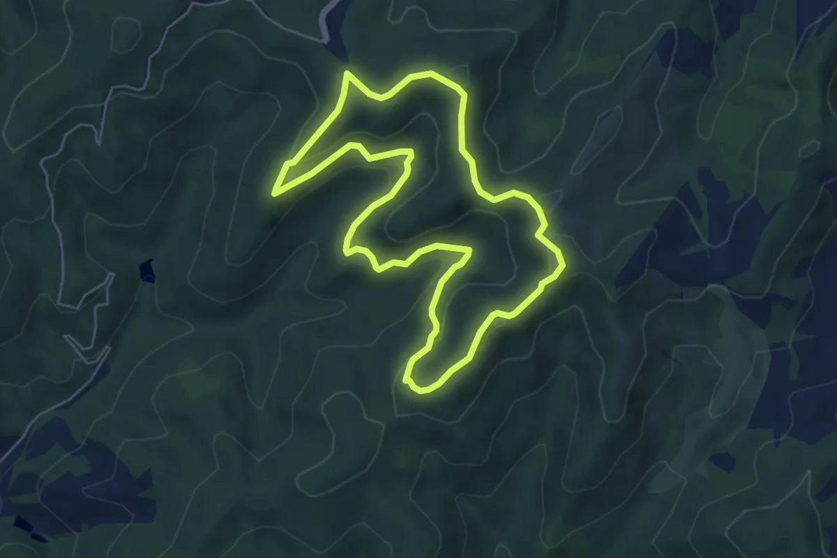
Easy · Summit
Anello dei Monti del Vento
5.5 km · ↑ 206 m · 1 h 49 min · 14 km away
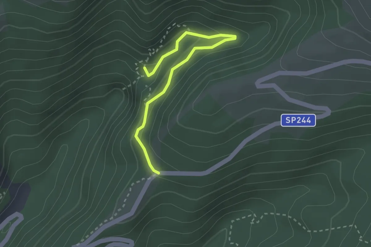
Demanding · Summit
Torrente Le Gorghe – Strada prov. Monte Cucco
2.8 km · ↑ 198 m · 1 h 5 min · 15 km away