Trails near Guidonia
66 hikes starting within 15 km, nearest first.
Nearest first, page 2 of 2
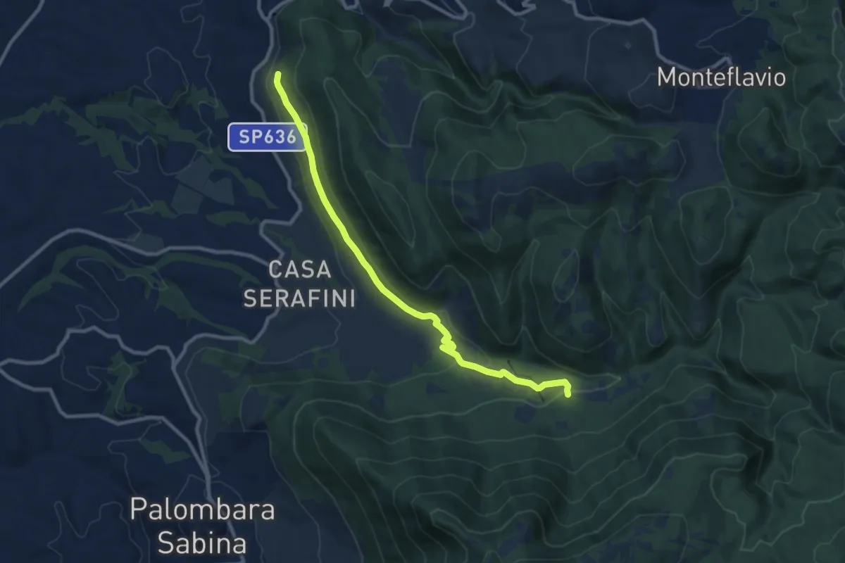
Demanding · Trail
Torretta-Molino Casoli
10.5 km · ↑ 206 m · 2 h 55 min · 13 km away
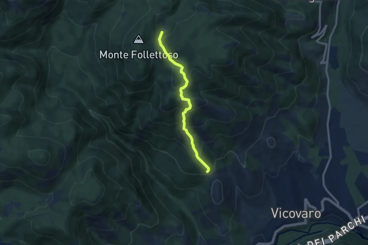
Medium · Trail
Sent. Anita
5.7 km · ↑ 486 m · 2 h 24 min · 13 km away
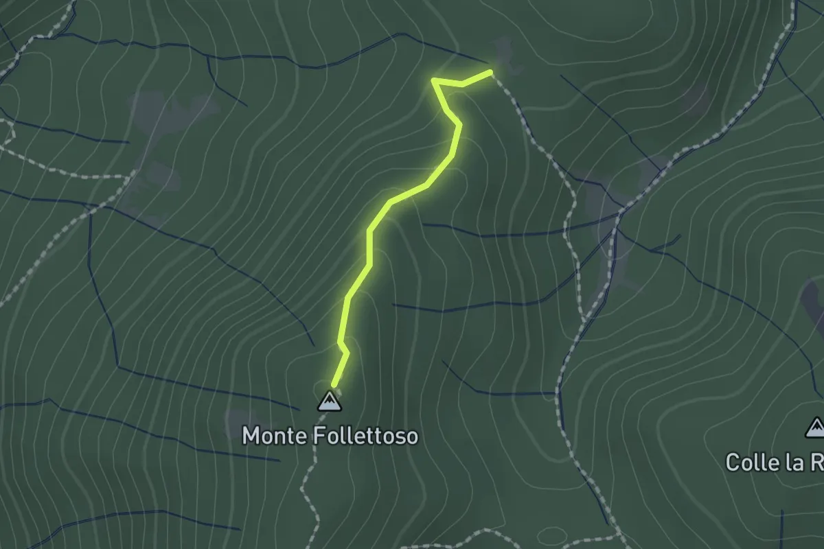
Easy · Summit
Monte Follettoso
1.3 km · ↑ 84 m · 29 min · 13 km away
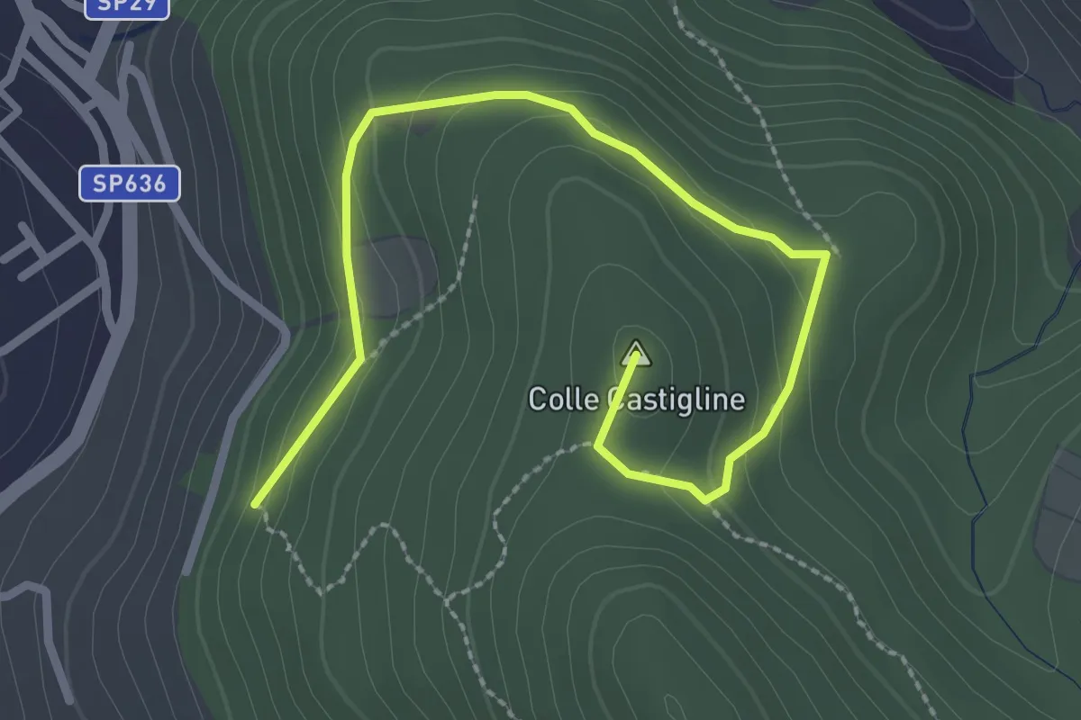
Easy · Summit
Terre Bianche-Castiglione
3.3 km · ↑ 123 m · 1 h 2 min · 13 km away
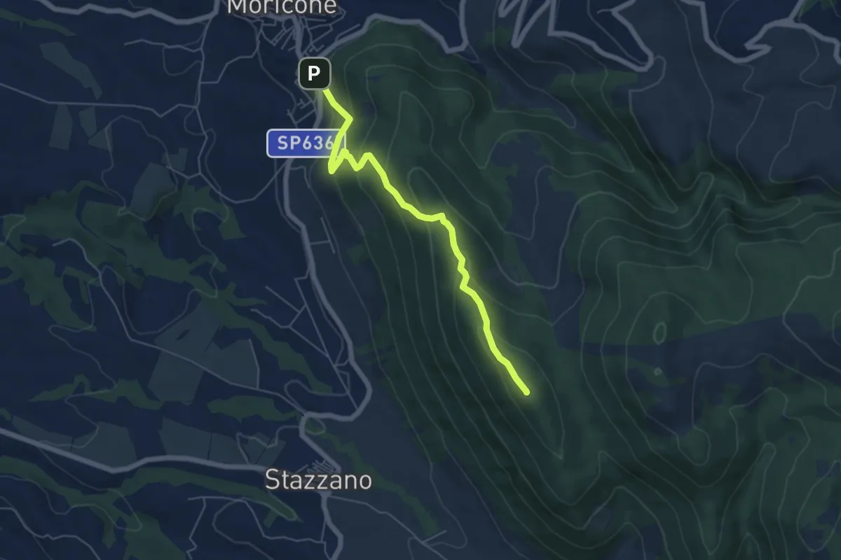
Medium · Summit
Moricone – Monte Matano
5.9 km · ↑ 358 m · 2 h 10 min · 13 km away
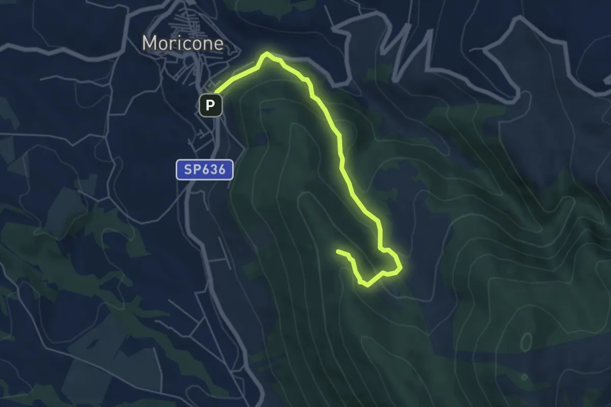
Easy · Trail
Moricone – Le Pianate
5.9 km · ↑ 301 m · 2 h 2 min · 14 km away
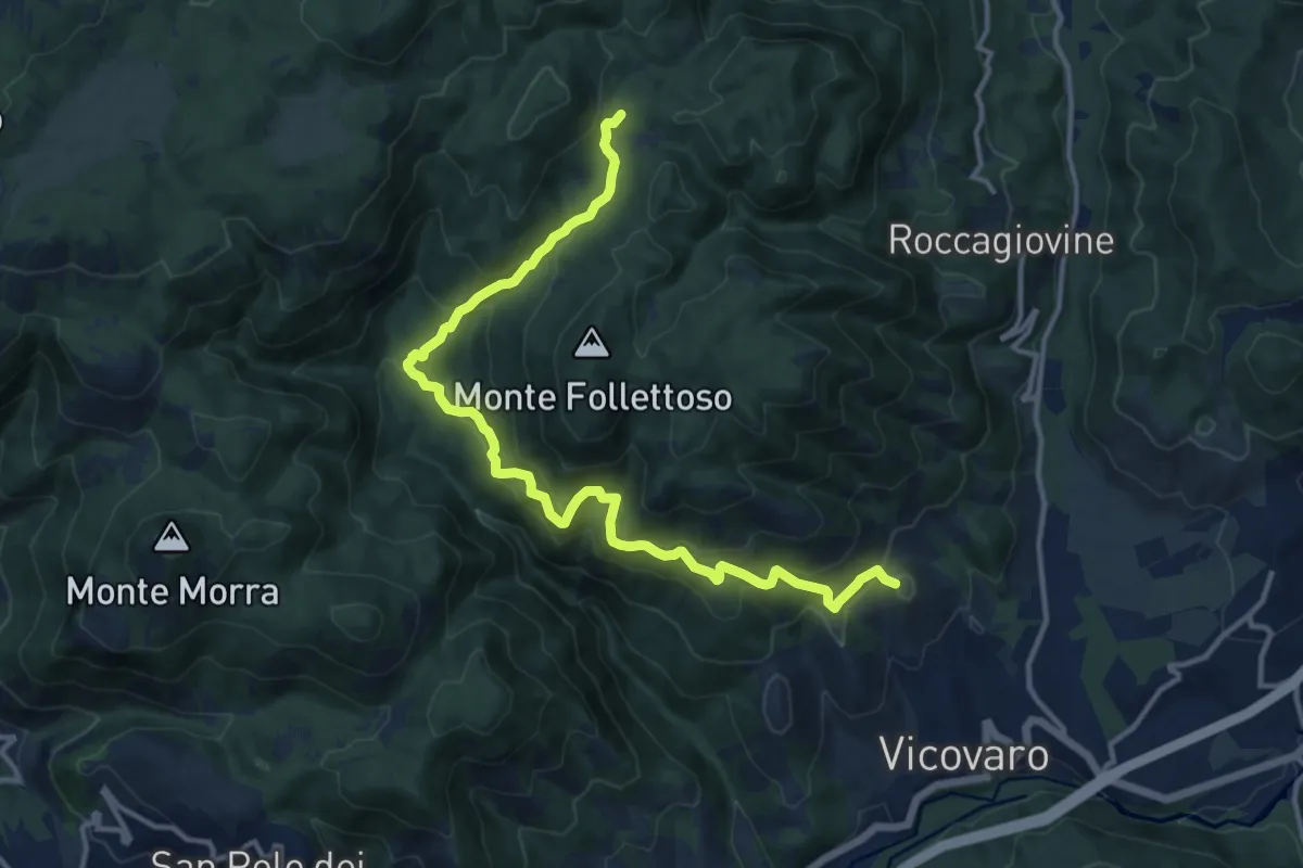
Demanding · Summit
Vicovaro - Mad. dei Ronci - Prato delle Forme
15.4 km · ↑ 864 m · 5 h 30 min · 14 km away
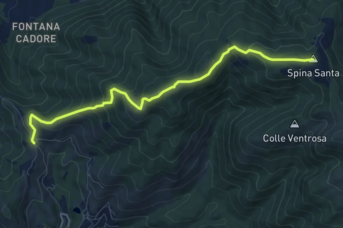
Medium · Summit
Santa Maria Nuova – Spina Santa innesto su sentiero 500
10.5 km · ↑ 587 m · 3 h 45 min · 14 km away
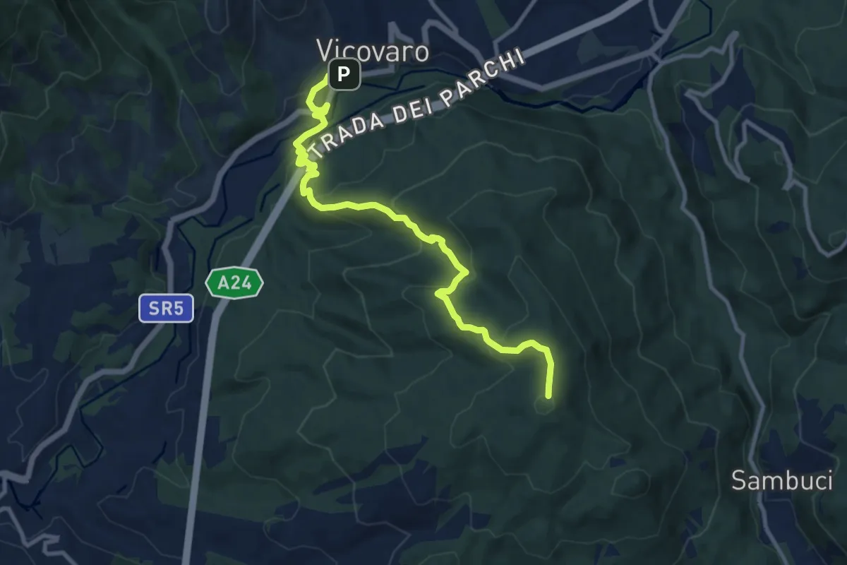
Medium · Summit
Vicovaro, largo Aldo Moro – Colle Cerrito Piano
11.1 km · ↑ 611 m · 3 h 57 min · 14 km away
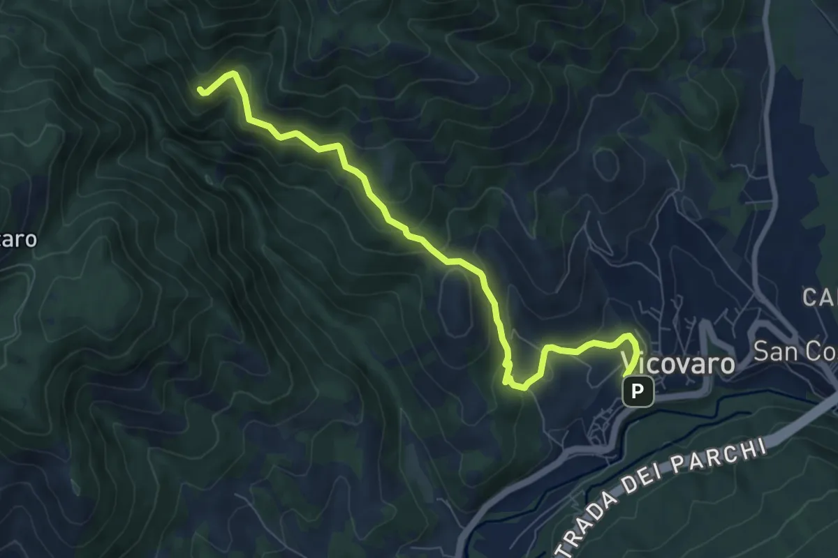
Medium · Trail
Vicovaro - Fosso di S. Martino
8.7 km · ↑ 464 m · 3 h 3 min · 14 km away
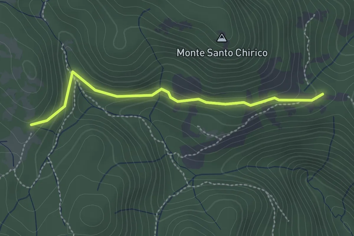
Easy · Trail
Fonte S. Chirico – Casale capo di Porco
2.6 km · ↑ 113 m · 51 min · 14 km away
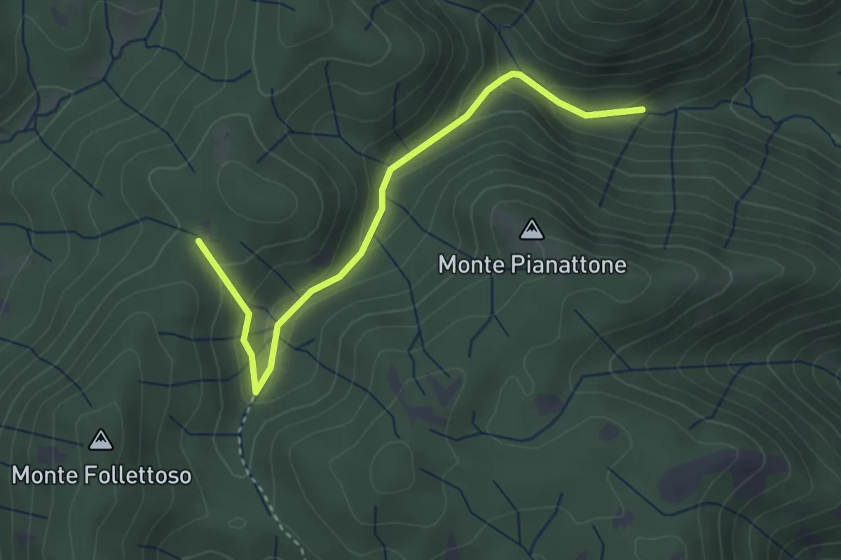
Easy · Trail
Stretta Vallicina
3.6 km · ↑ 167 m · 1 h 13 min · 14 km away
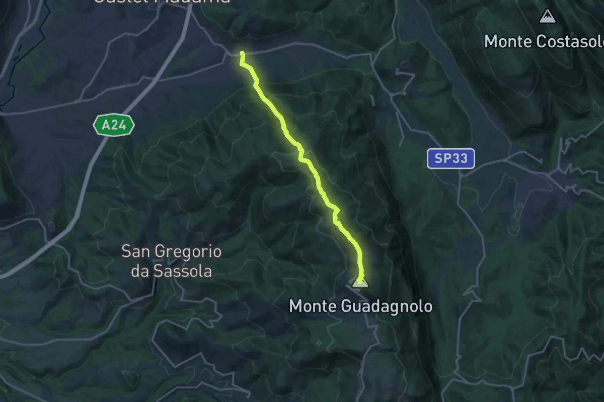
Demanding · Summit
Via Empolitana Km 9.6 – Guadagnolo
14.3 km · ↑ 1020 m · 5 h 35 min · 14 km away
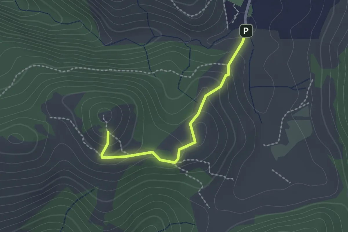
Easy · Trail
Fosso delle Pacine - Montefalco
2.1 km · ↑ 109 m · 43 min · 14 km away
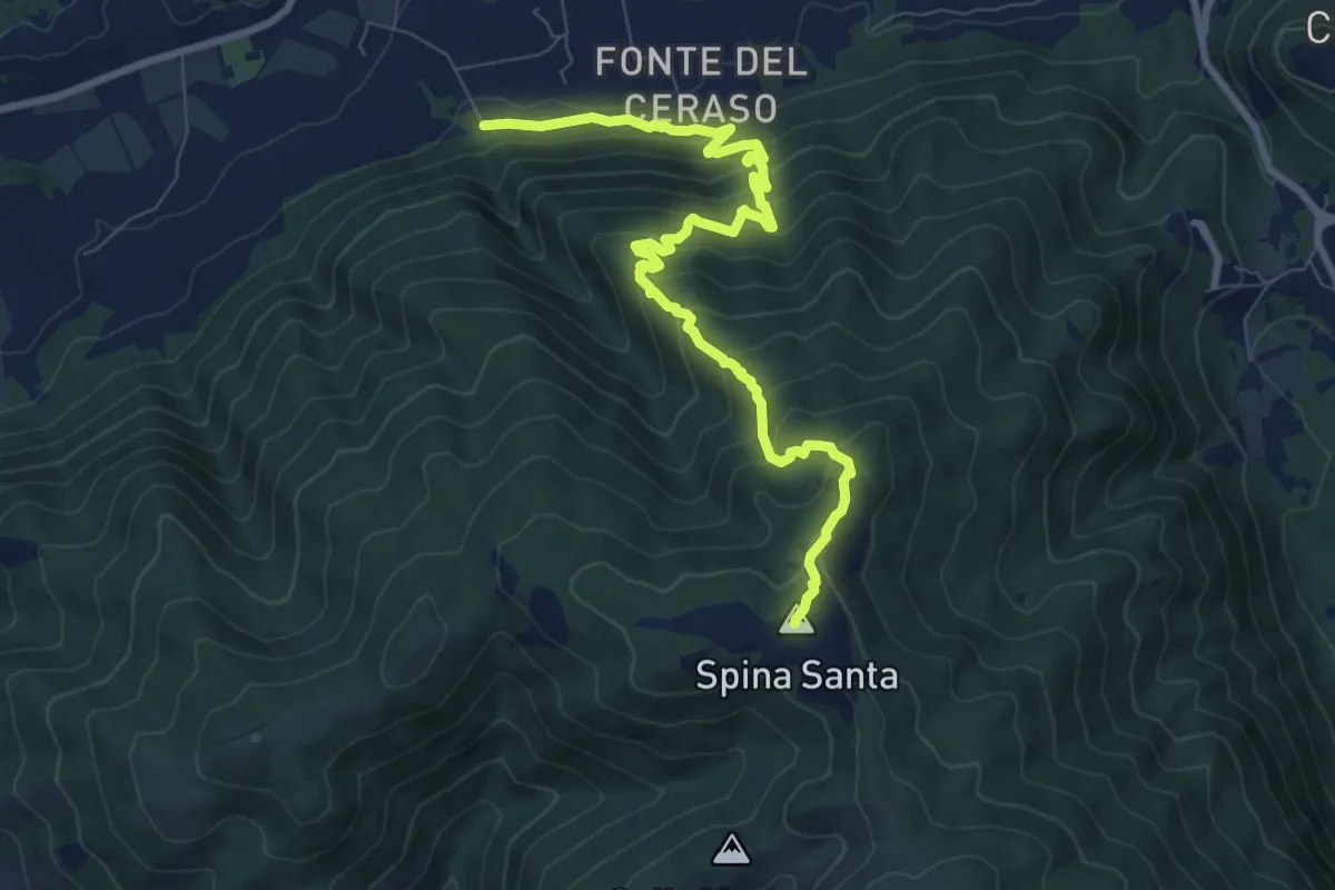
Medium · Summit
Innesto con 500 – Innesto sentiero 500
10.3 km · ↑ 780 m · 4 h 7 min · 15 km away
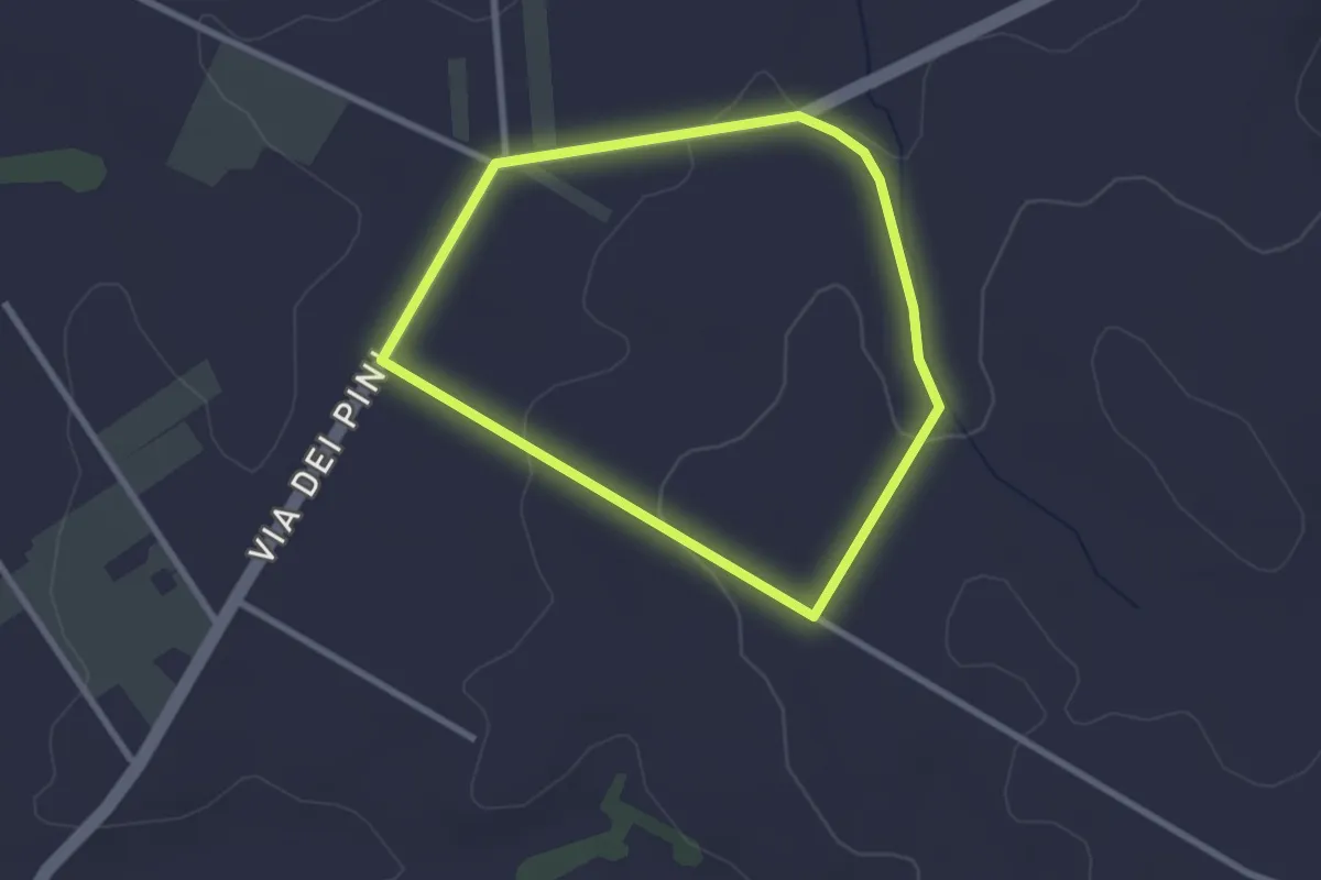
Easy · Trail
Percorso del Garibaldino
2.6 km · ↑ 47 m · 45 min · 15 km away
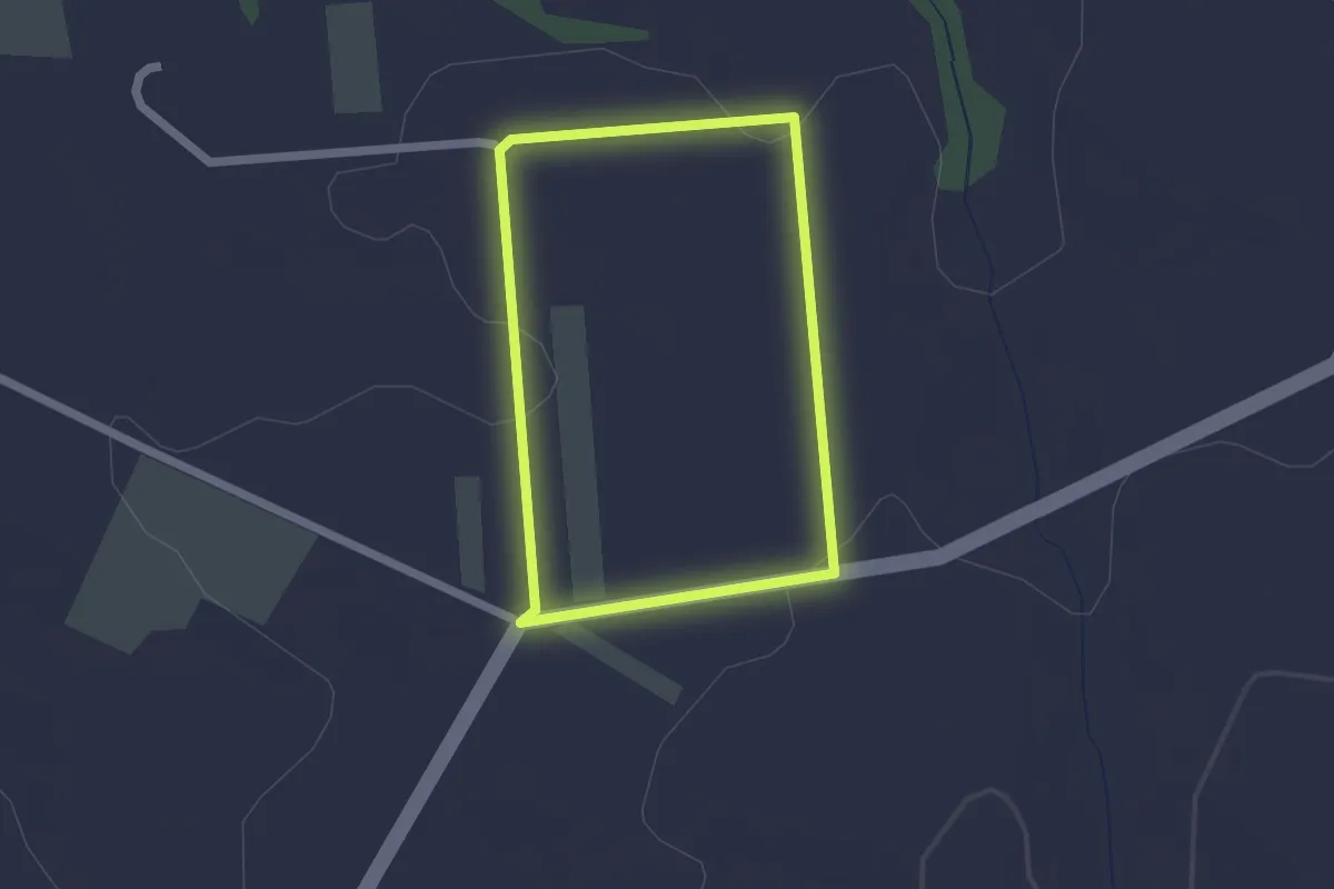
Easy · Trail
Percorso del Miele
1.8 km · ↑ 22 m · 30 min · 15 km away
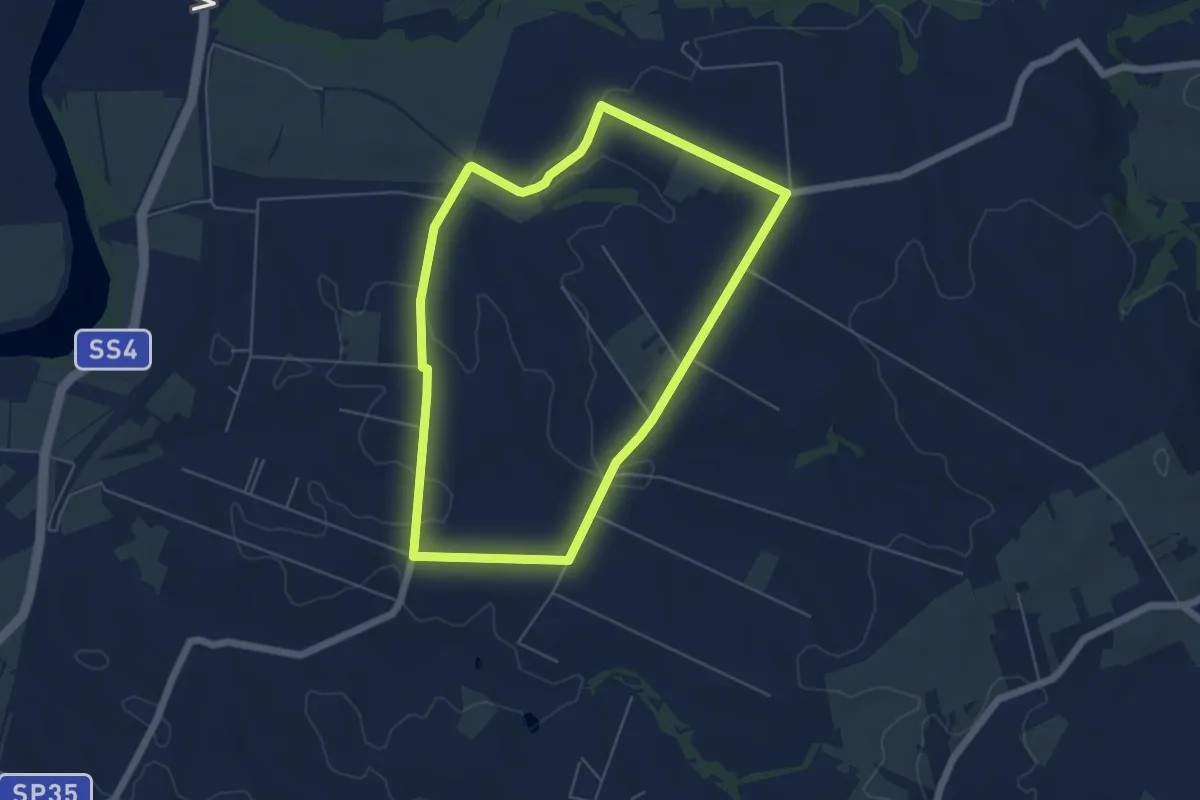
Easy · Trail
Percorso dei Cavalli Bianchi
5.8 km · ↑ 61 m · 1 h 35 min · 15 km away