Trails near Gussago
258 hikes starting within 15 km, nearest first.
Nearest first, page 1 of 6
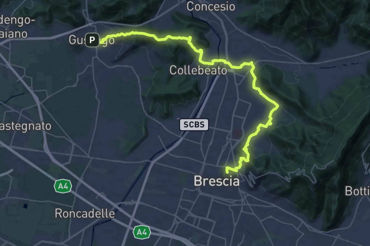
Medium · Summit
La Via delle Sorelle - Tappa 1 variante bassa
16.4 km · ↑ 431 m · 5 h · under 1 km away
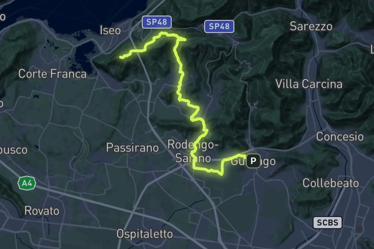
Demanding · Summit
La Via delle Sorelle - Tappa 2
20.0 km · ↑ 651 m · 6 h 10 min · under 1 km away
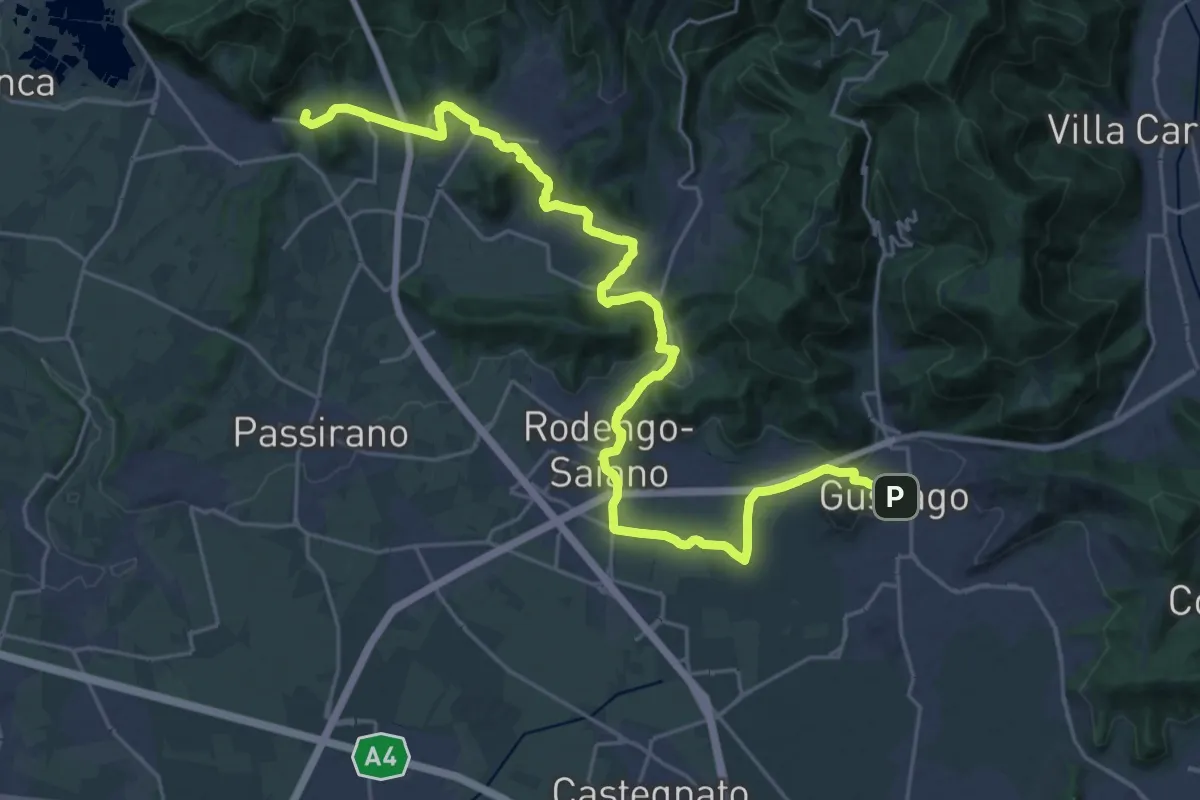
Medium · Summit
La Via delle Sorelle - Tappa 2 variante bassa
15.3 km · ↑ 256 m · 4 h 19 min · under 1 km away
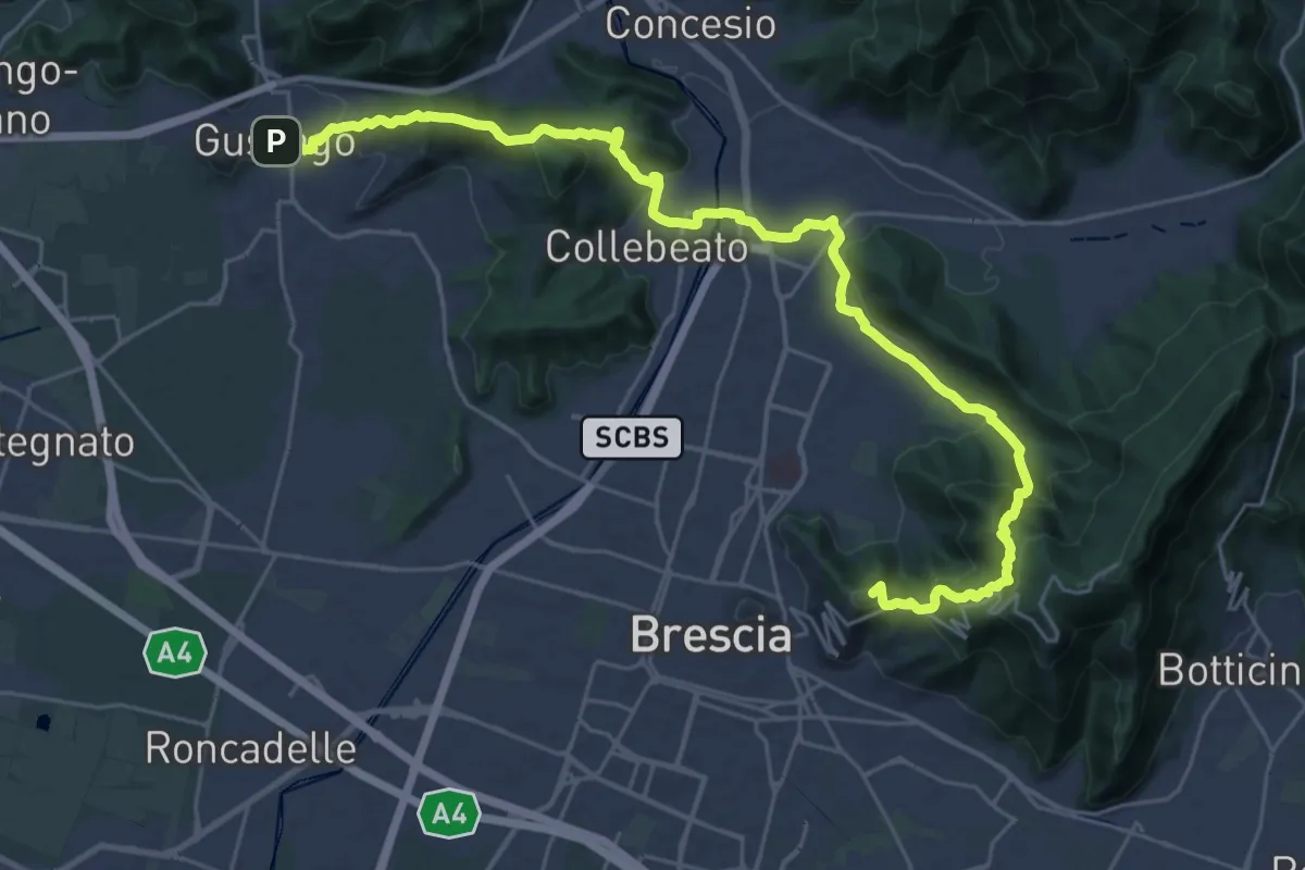
Medium · Summit
La Via delle Sorelle - Tappa 1
16.8 km · ↑ 713 m · 5 h 37 min · under 1 km away
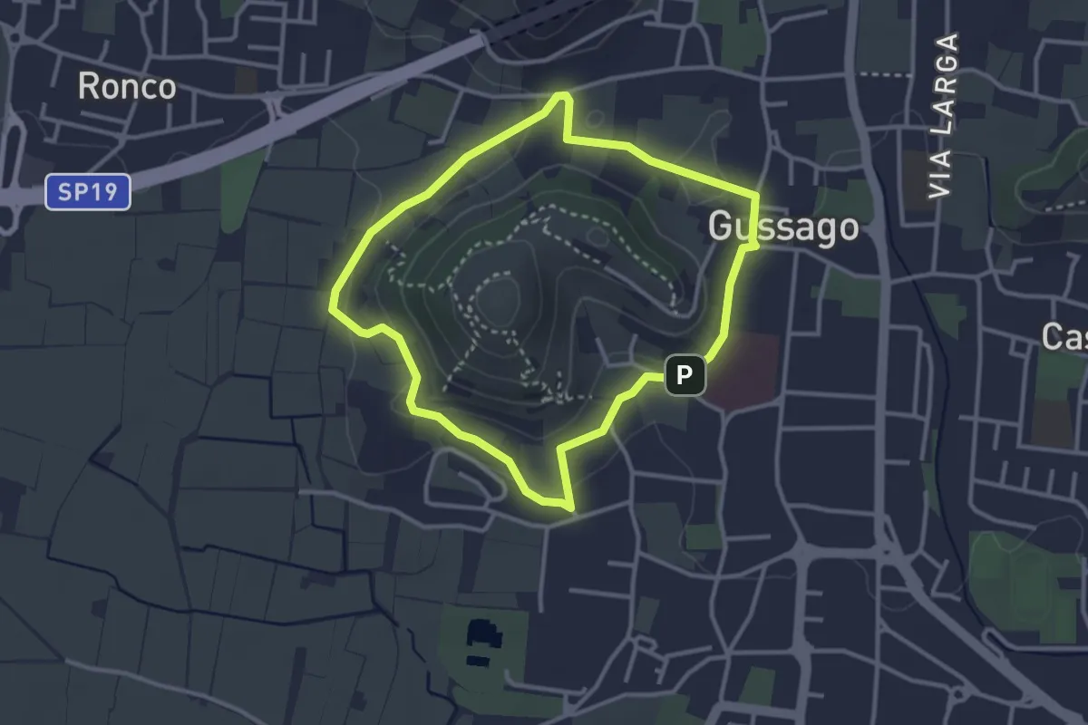
Easy · Trail
Periplo della Santissima
3.0 km · ↑ 70 m · 54 min · under 1 km away
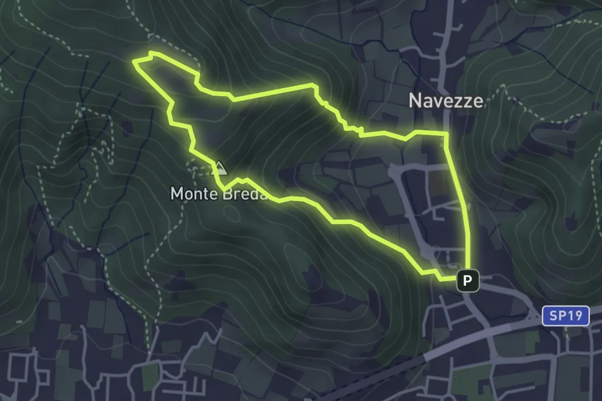
Medium · Summit
Le due Tese - Batoccolo
3.4 km · ↑ 256 m · 1 h 24 min · 1 km away
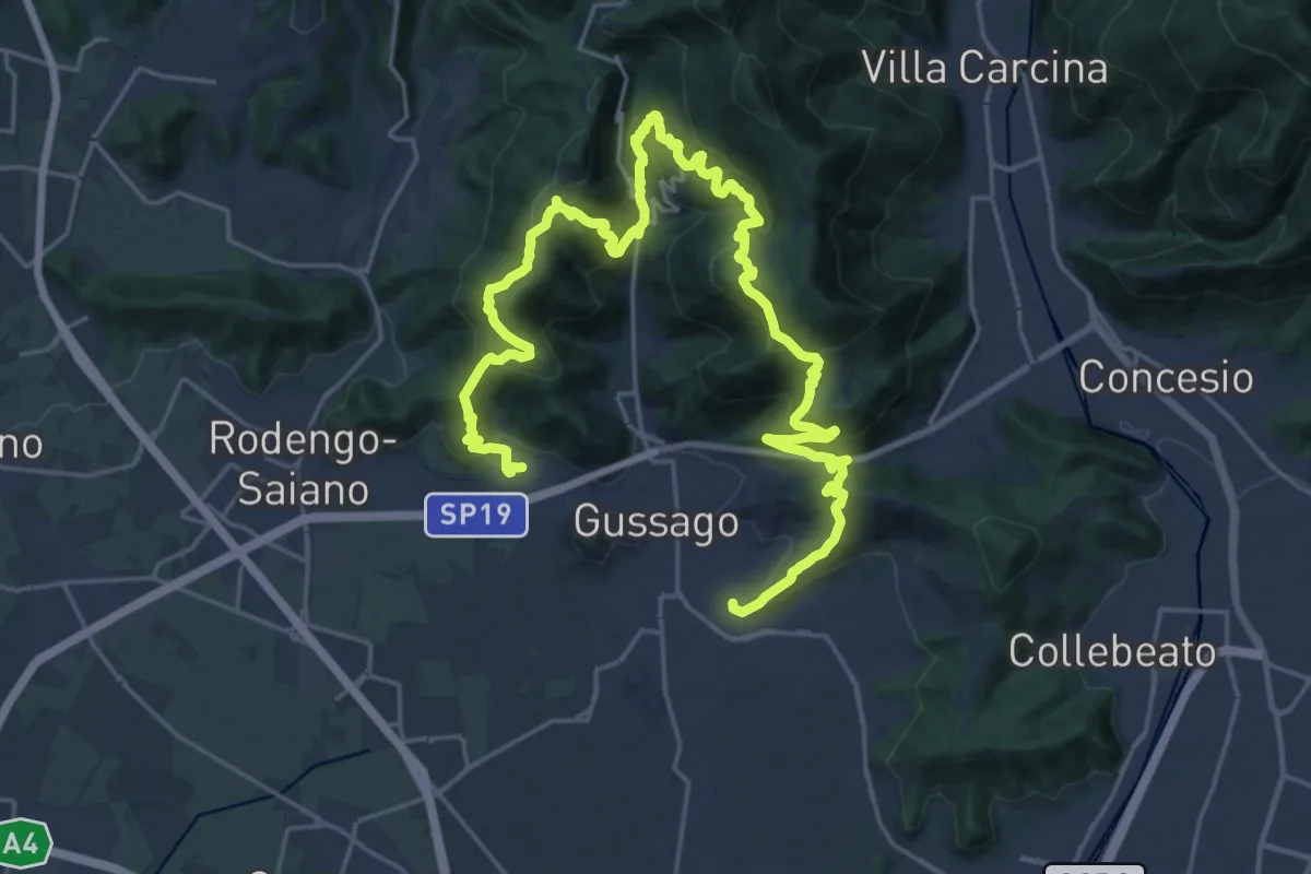
Demanding · Summit
Giro delle Colline
16.7 km · ↑ 1170 m · 6 h 43 min · 1 km away
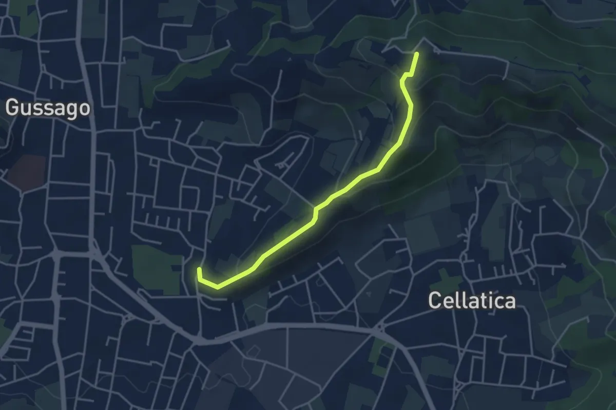
Easy · Trail
Cellatica (Casaglio) – Santuario della Stella
3.6 km · ↑ 213 m · 1 h 19 min · 1 km away
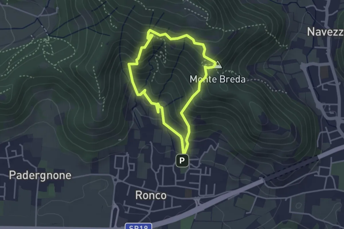
Medium · Summit
Gussago (Ronco) - Tesa di Sotto - Valle Bianca
2.9 km · ↑ 248 m · 1 h 16 min · 1 km away
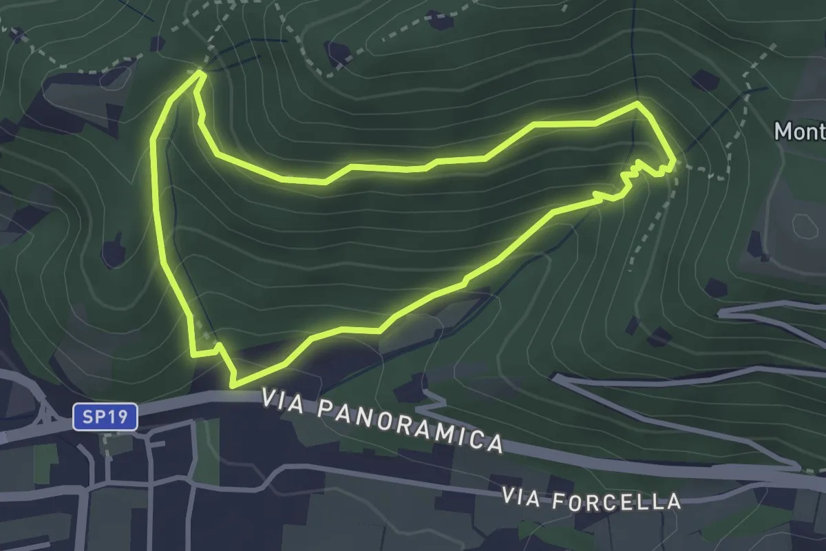
Medium · Trail
Sentiero della Val Volpera
3.0 km · ↑ 258 m · 1 h 18 min · 1 km away
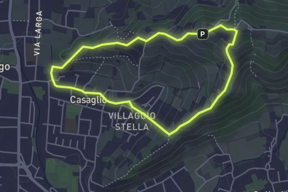
Easy · Trail
Via Crucis - San Rocco - Stella
3.7 km · ↑ 201 m · 1 h 21 min · 2 km away
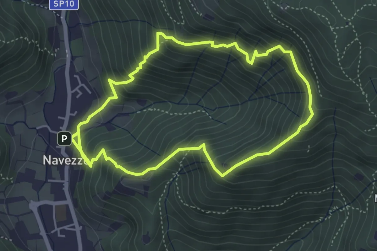
Medium · Trail
Sentiero della Valle di Faidolo
4.3 km · ↑ 452 m · 2 h 2 min · 2 km away
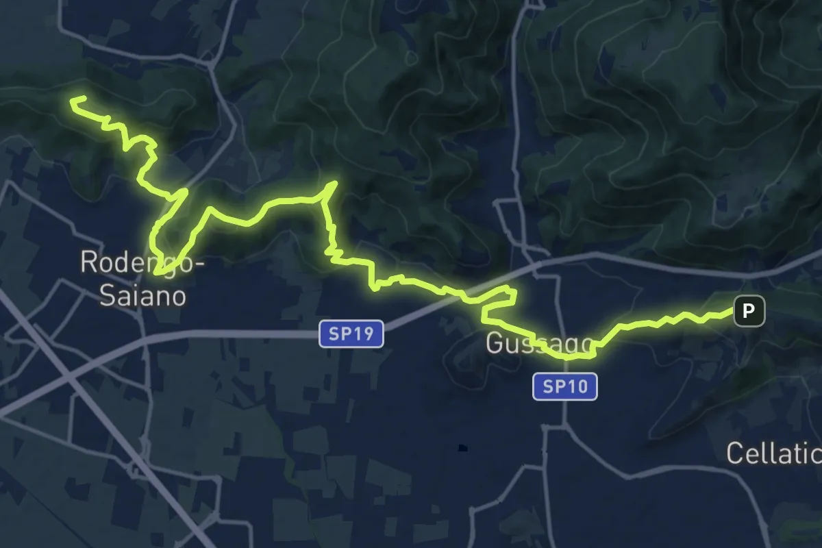
Demanding · Summit
Sentiero della Franciacorta
21.9 km · ↑ 913 m · 7 h 9 min · 2 km away
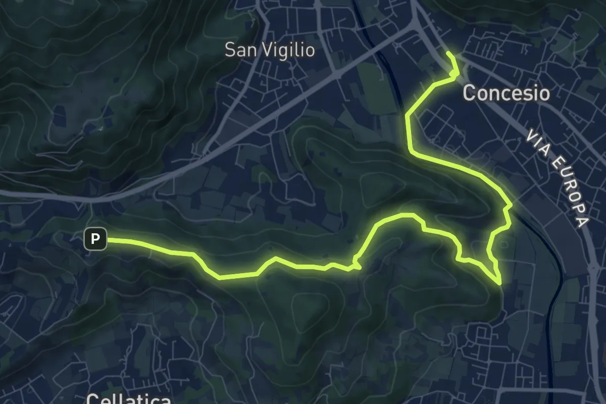
Medium · Trail
Sentiero Pietro Ottaviani
12.8 km · ↑ 333 m · 3 h 44 min · 2 km away
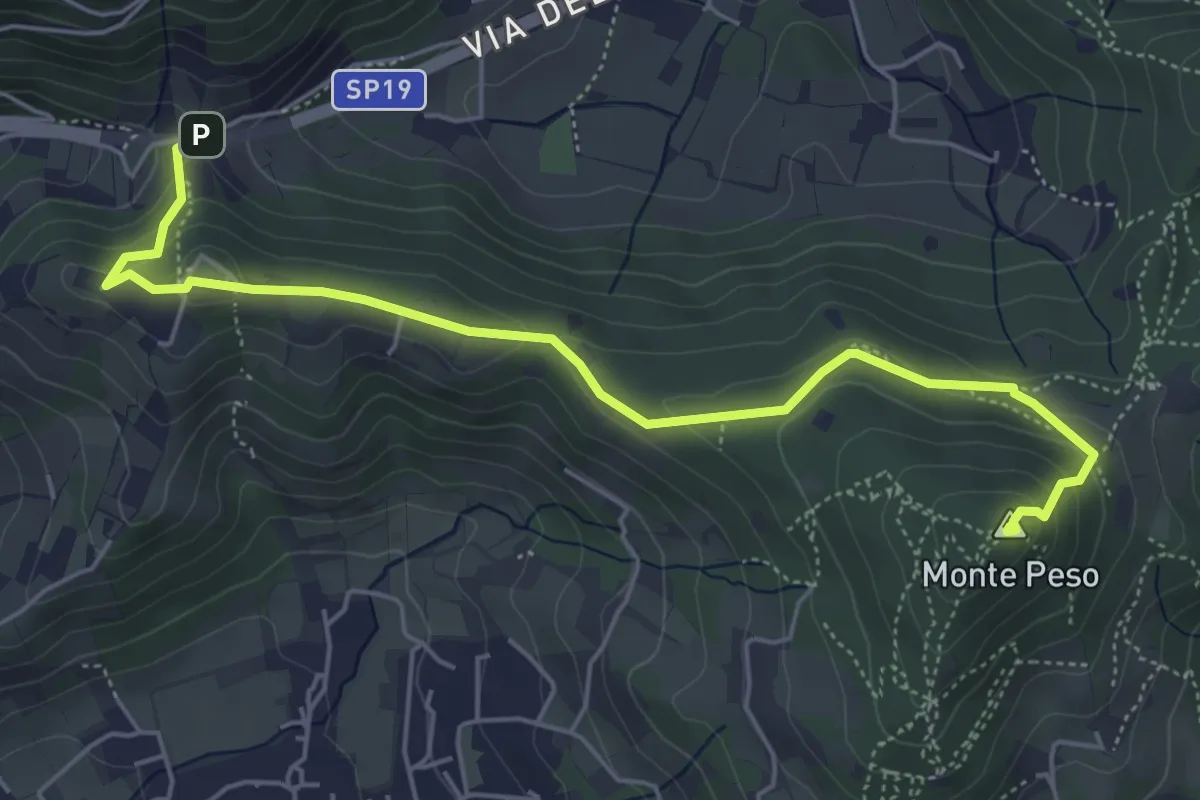
Medium · Summit
Sentiero 3V - Tappa 8b
6.0 km · ↑ 266 m · 1 h 59 min · 2 km away
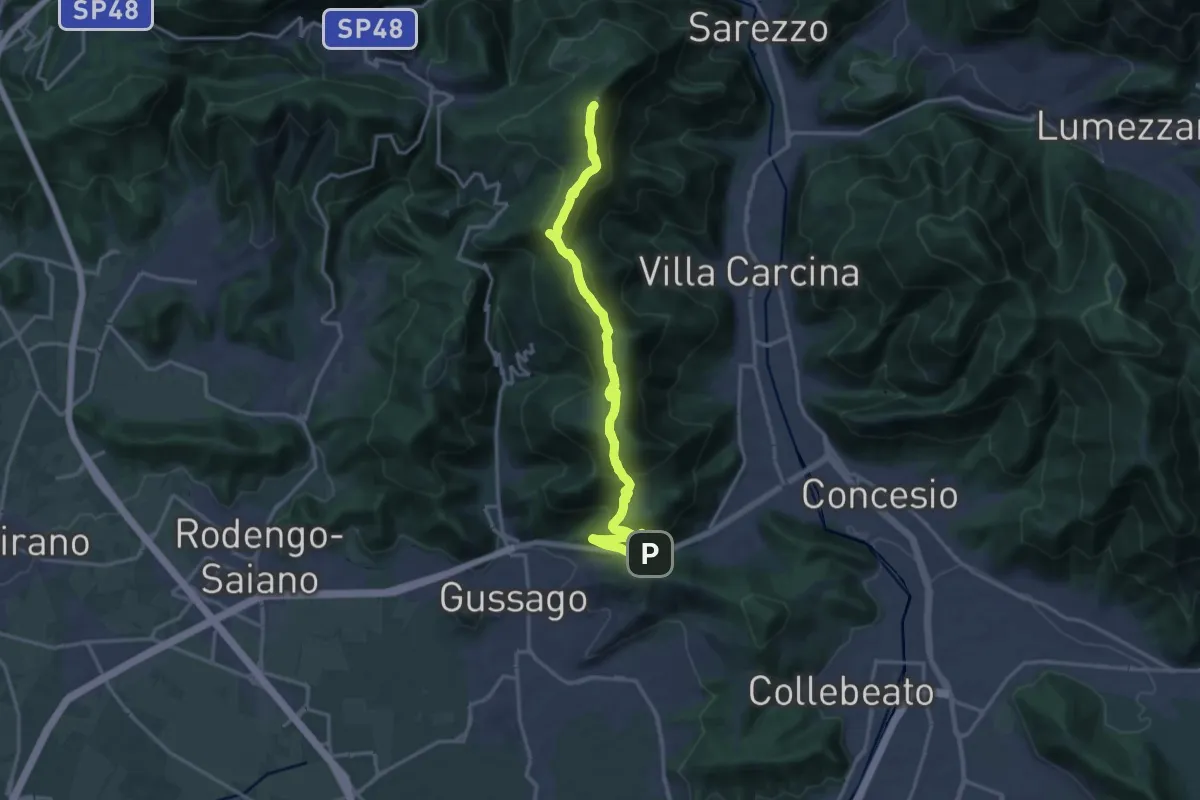
Demanding · Summit
Sentiero 3V - Tappa 8a
18.2 km · ↑ 1158 m · 6 h 48 min · 2 km away
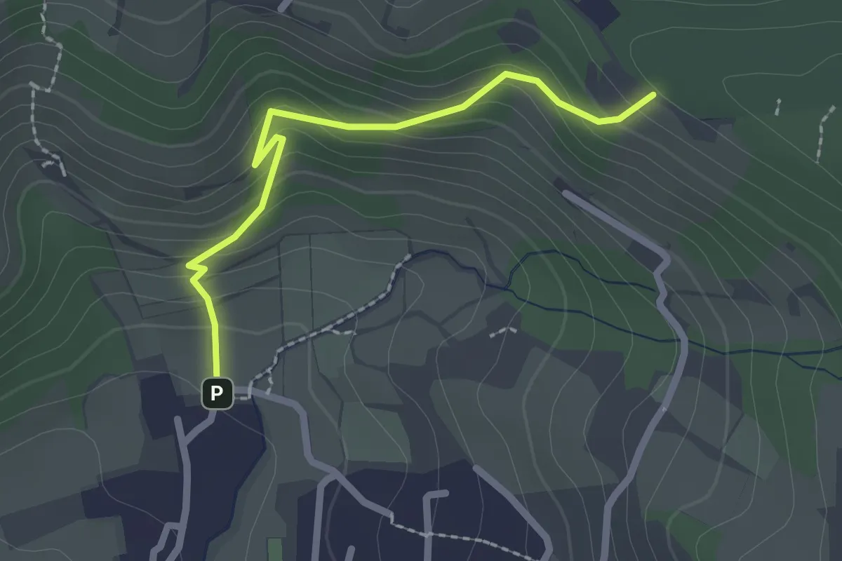
Easy · Trail
Cellatica (Palas) – Cascina Monte Grande (Innesto Sentiero 3V)
2.1 km · ↑ 186 m · 55 min · 2 km away
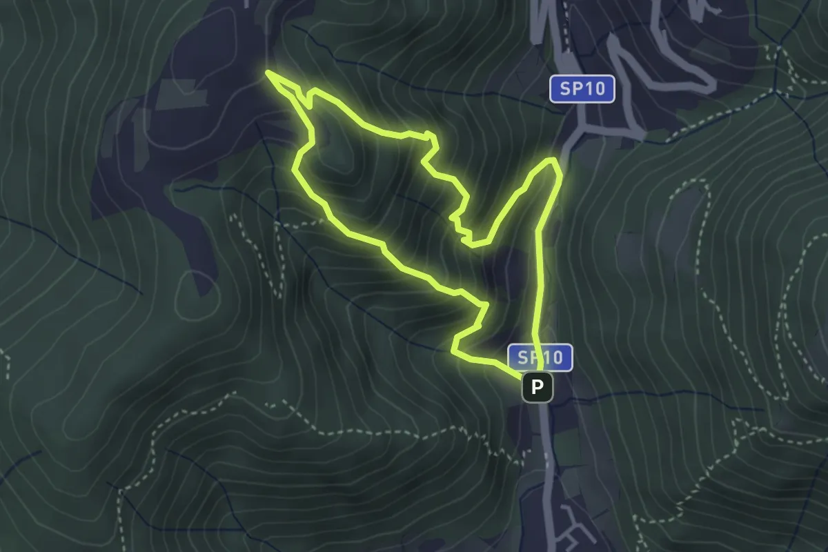
Medium · Trail
Sentiero Dosso di Mezzane - Barche - Andreolo
3.3 km · ↑ 357 m · 1 h 35 min · 2 km away
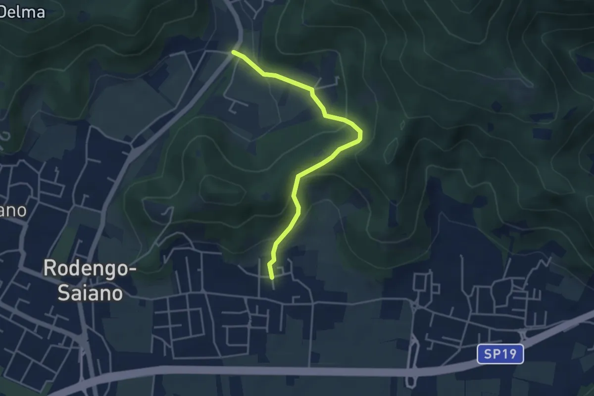
Medium · Trail
Rodengo Saiano (Padergnone - Via Montello incrocio Via Monte Nero) – Corneto
3.7 km · ↑ 194 m · 1 h 18 min · 3 km away
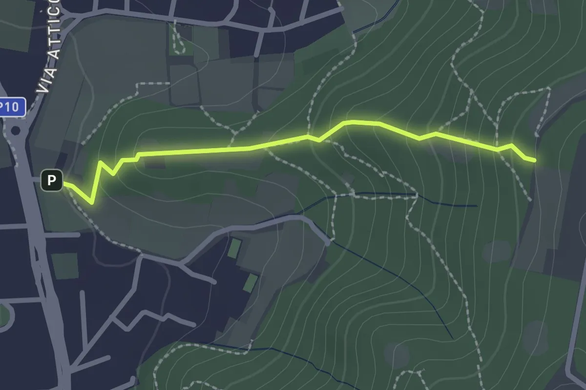
Medium · Trail
Cellatica (Via San Rocco) – Campiani (Innesto Sentiero 219)
2.1 km · ↑ 157 m · 50 min · 3 km away
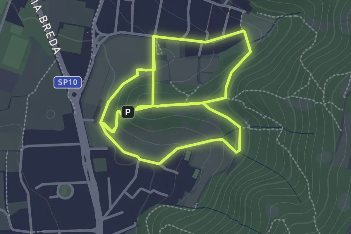
Easy · Trail
Percorso del Colle San Rocco
3.3 km · ↑ 89 m · 1 h 1 min · 3 km away
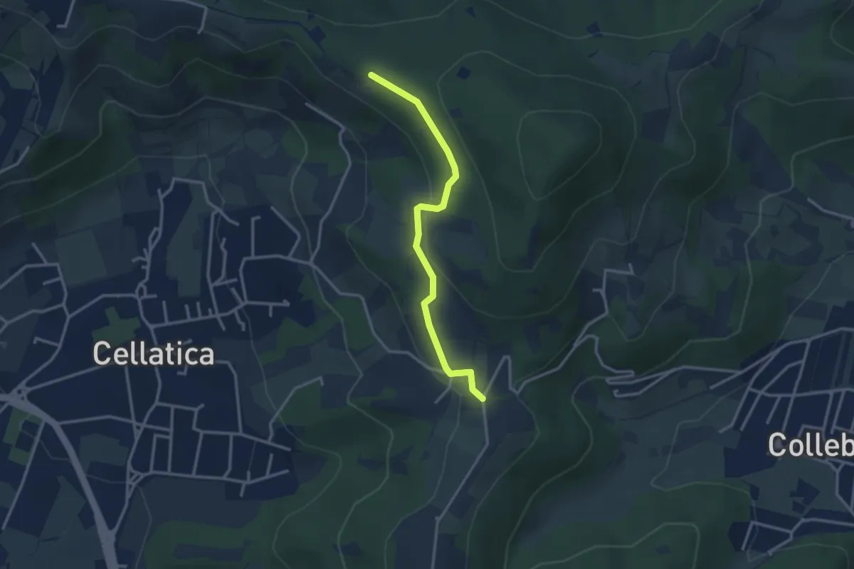
Easy · Trail
Sentiero 3V - Tappa 8 (Variante bassa)
2.9 km · ↑ 95 m · 54 min · 3 km away
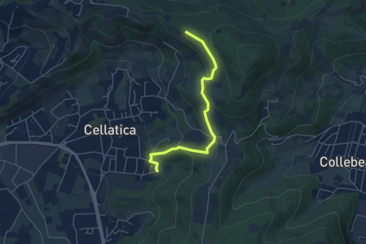
Easy · Trail
Cellatica (Cantone) – Cascina Monte Grande (Innesto Sentiero 3V)
4.5 km · ↑ 213 m · 1 h 31 min · 3 km away
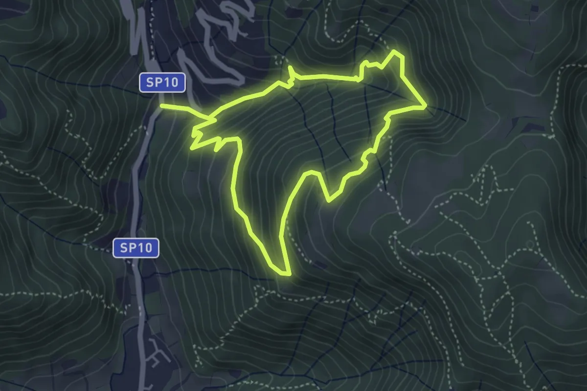
Medium · Trail
Sentiero della Valle Gandine
4.1 km · ↑ 358 m · 1 h 48 min · 3 km away
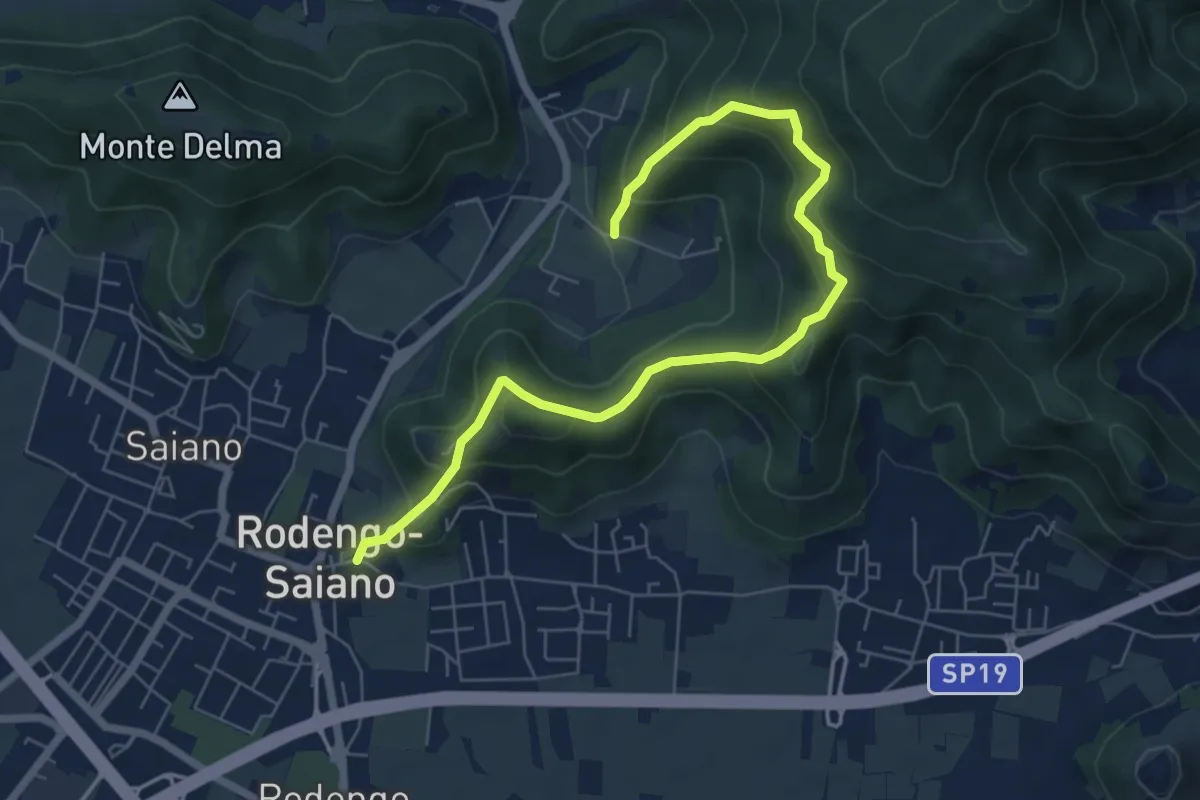
Medium · Trail
Rodengo Saiano (Ponte Cigoli) – Rodengo Saiano (Corneto - Innesto Sentiero 279)
7.5 km · ↑ 561 m · 2 h 59 min · 3 km away
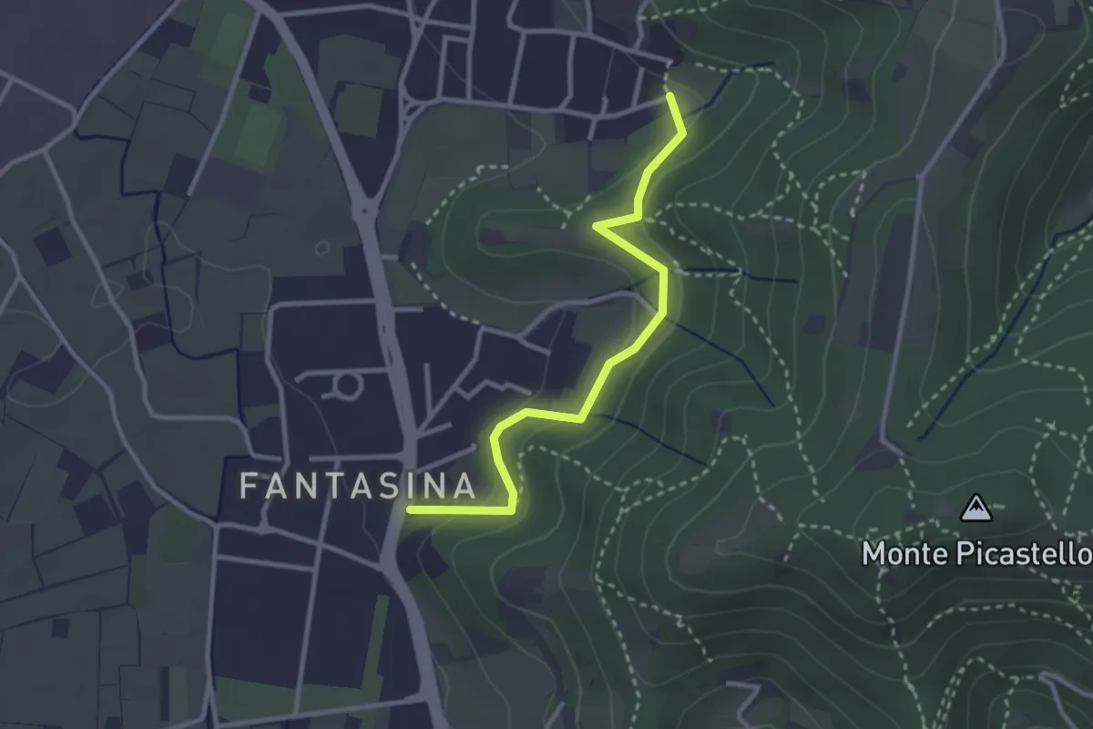
Easy · Trail
Cellatica (Fantasina) – Cellatica (Cantone)
2.9 km · ↑ 101 m · 54 min · 3 km away
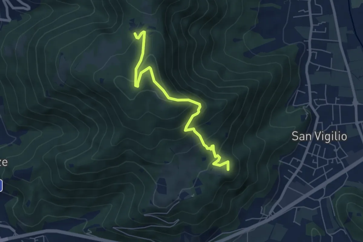
Medium · Summit
Concesio (San Vigilio) – Quarone di Sopra
5.8 km · ↑ 392 m · 2 h 13 min · 3 km away
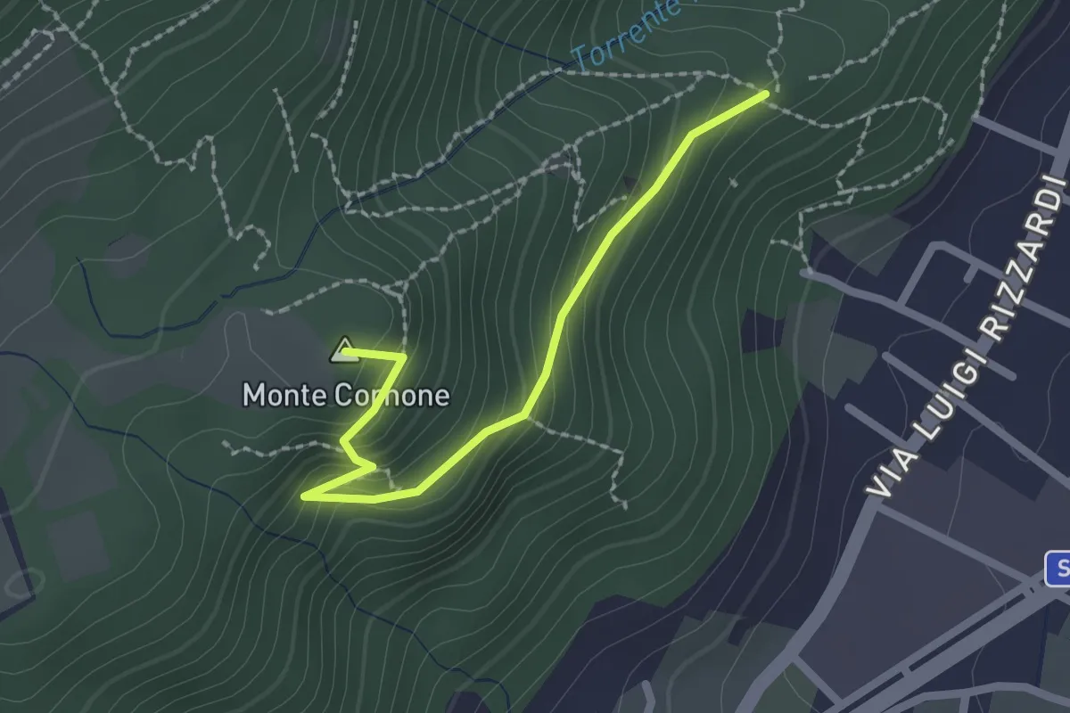
Demanding · Summit
Sentiero D - Variante Monte Cornone
2.1 km · ↑ 170 m · 52 min · 3 km away
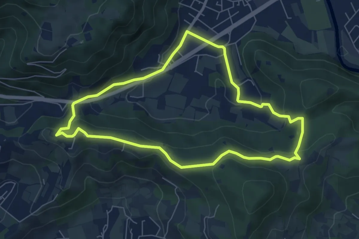
Easy · Trail
Concesio - Valsorda
6.0 km · ↑ 208 m · 1 h 57 min · 3 km away
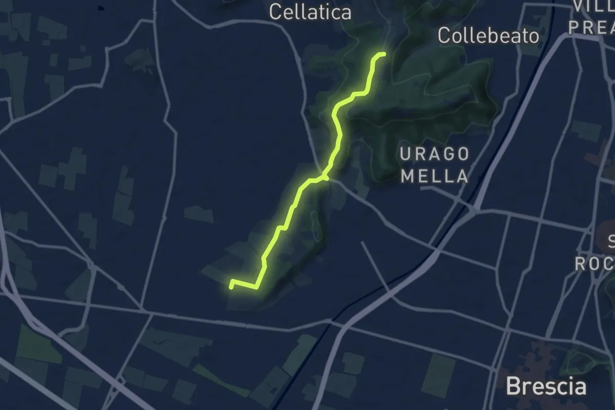
Medium · Trail
Brescia (Via del Santellone) – Campiani (Crosette, innesto sentiero 3V)
8.8 km · ↑ 209 m · 2 h 31 min · 3 km away
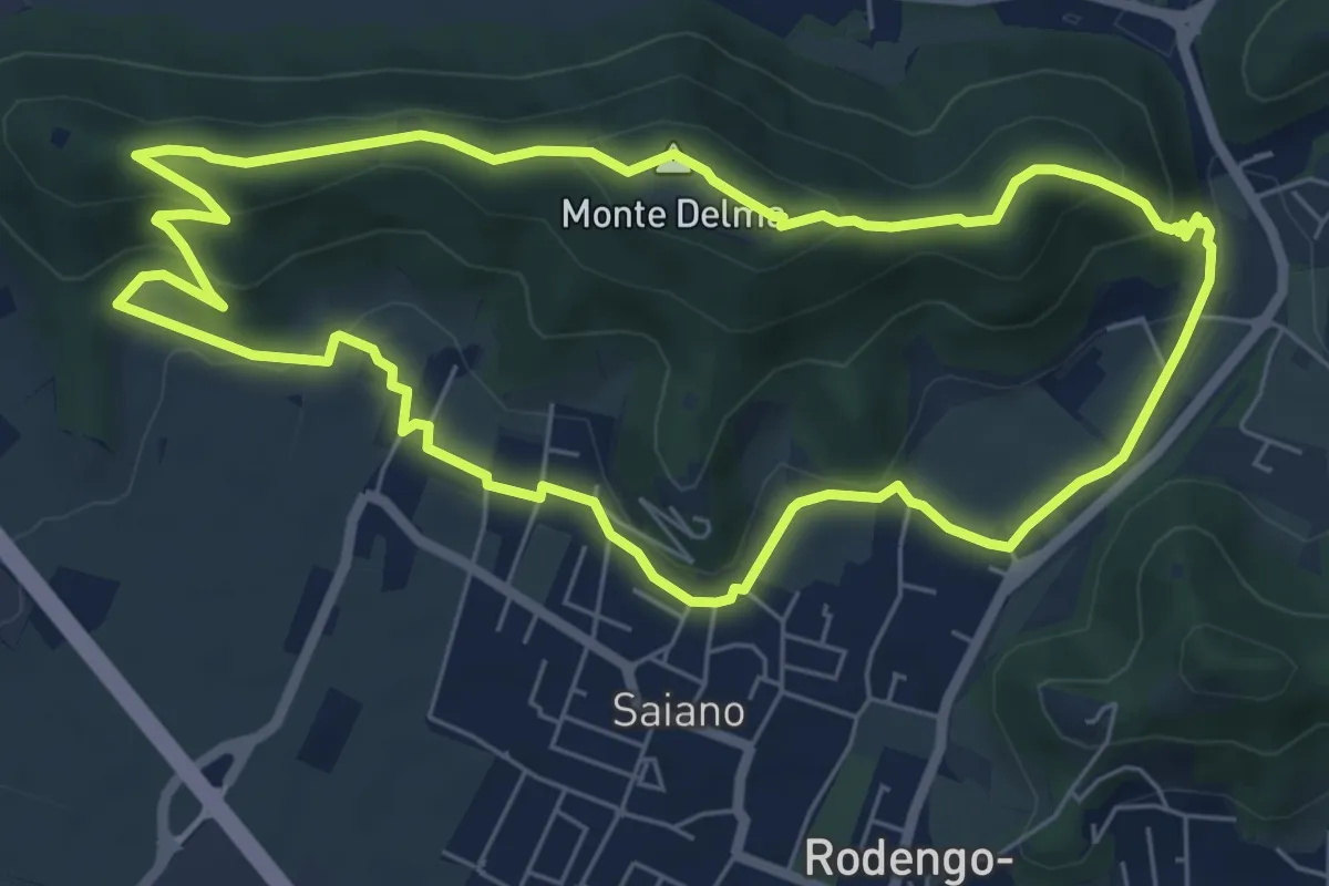
Medium · Summit
Giro del Monte Delma
6.9 km · ↑ 224 m · 2 h 12 min · 3 km away
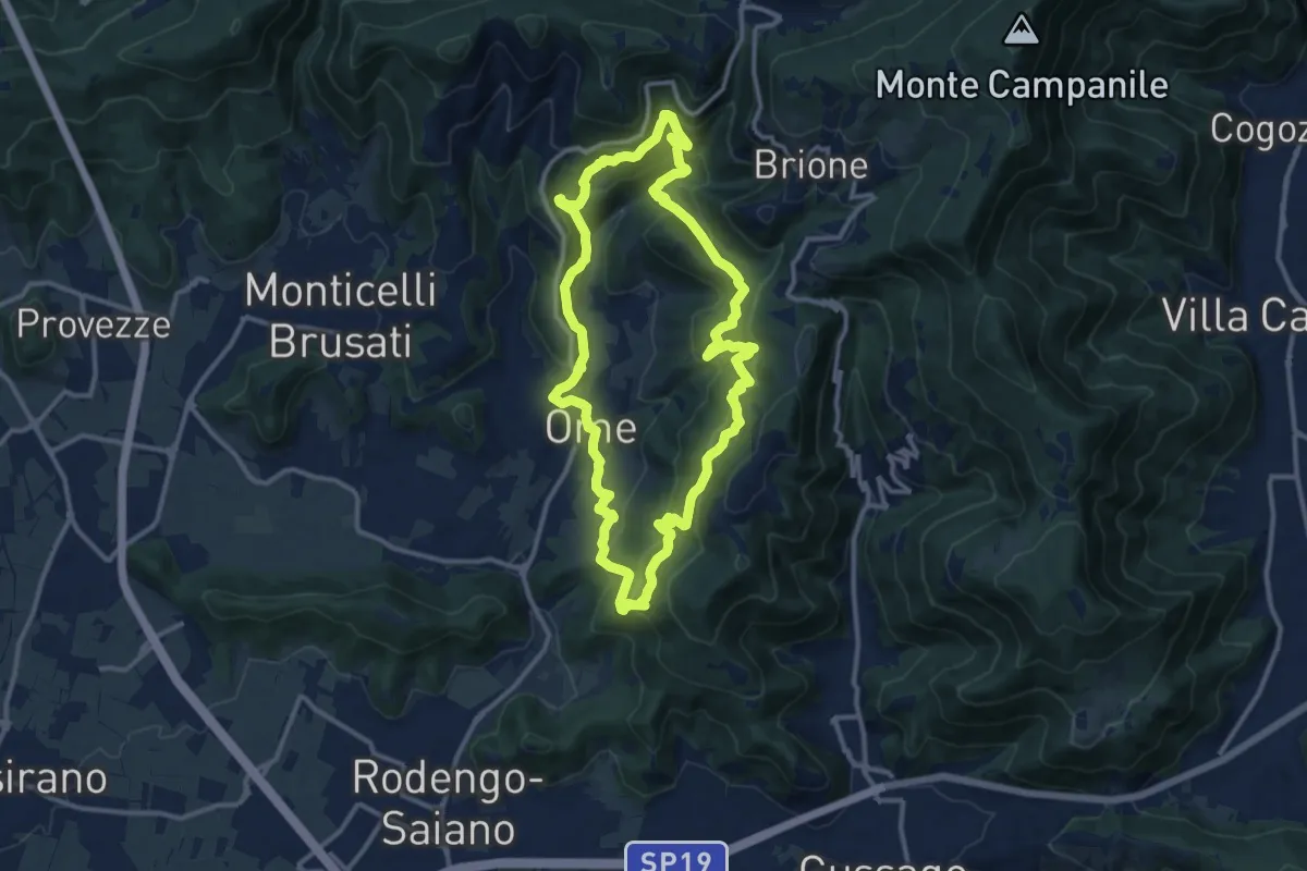
Medium · Trail
Sentiero dei funghi
12.1 km · ↑ 736 m · 4 h 37 min · 4 km away
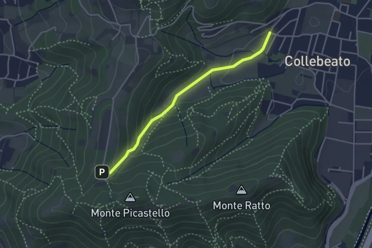
Medium · Trail
Collebeato (Angolo di Sopra) – Campiani (Il Merlo)
3.1 km · ↑ 131 m · 1 h 1 min · 4 km away
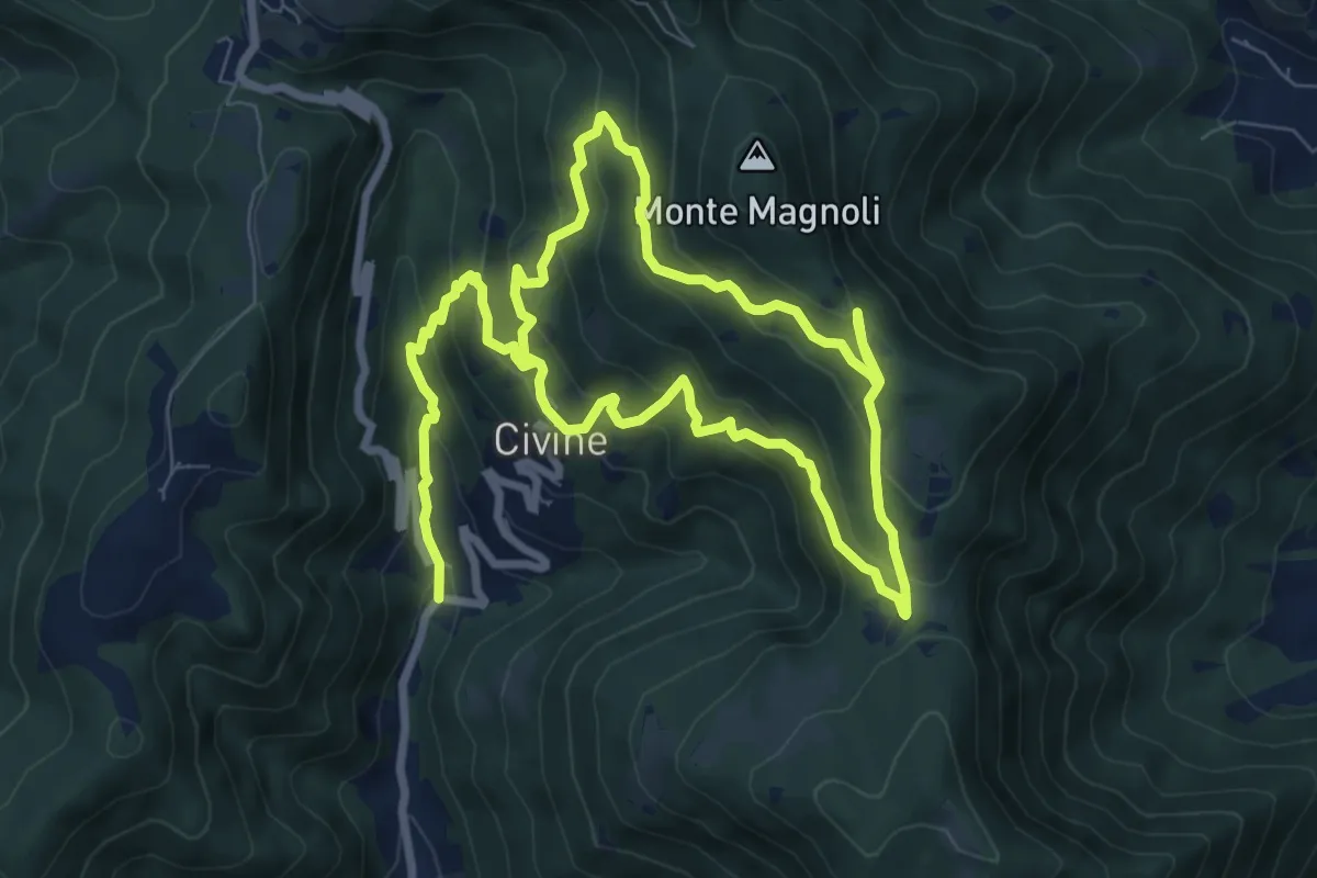
Medium · Trail
Sentiero Aldo Giacomini
7.5 km · ↑ 375 m · 2 h 49 min · 4 km away
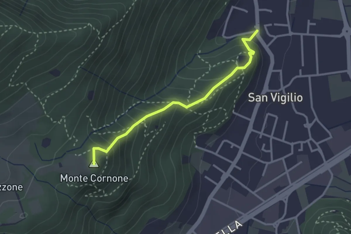
Medium · Summit
Concesio (San Vigilio) - Quarone di Sopra
2.6 km · ↑ 259 m · 1 h 11 min · 4 km away
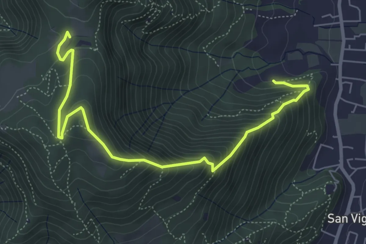
Medium · Trail
Concesio (Via Mandò) - Costa - Quarone di Sopra
6.6 km · ↑ 592 m · 2 h 50 min · 4 km away
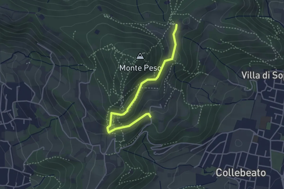
Easy · Trail
Collebeato (Campianelli di Sotto) – Ex Convento dii Santo Stefano
3.5 km · ↑ 158 m · 1 h 10 min · 4 km away
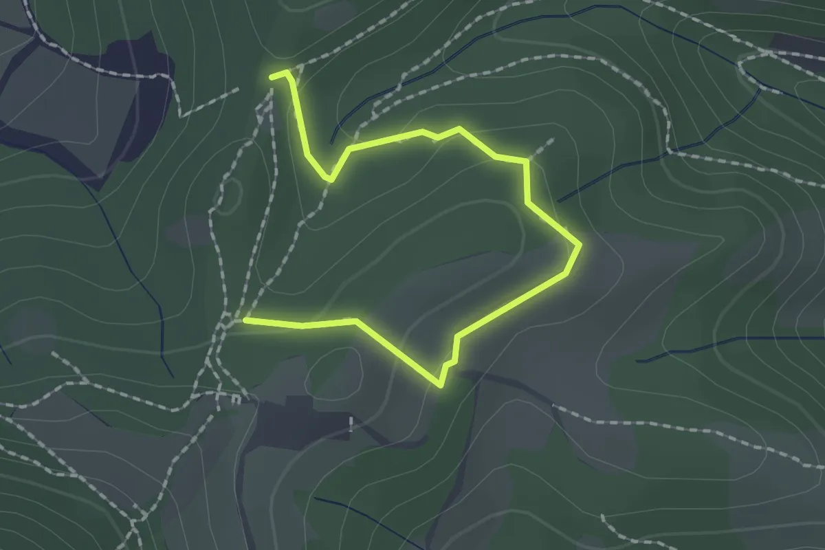
Medium · Trail
Collebeato (Roccolo Polonioli) – Sella del Madì (Innesto Sentiero 248)
2.1 km · ↑ 64 m · 38 min · 4 km away
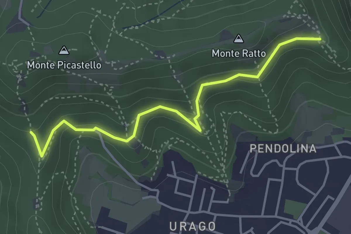
Easy · Trail
Brescia (Valle Bresciana - Innesto Sentiero 218) – Dosso degli Olmi (Innesdto sentiero n. 217)
3.6 km · ↑ 205 m · 1 h 18 min · 4 km away
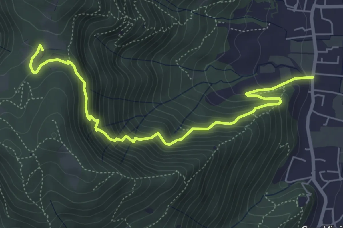
Medium · Trail
Concesio (Via Mandò) - Quarone di Sopra
6.2 km · ↑ 571 m · 2 h 42 min · 4 km away
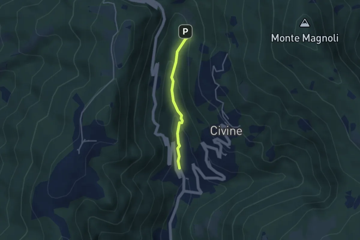
Medium · Trail
Sentiero Battista e Nicolina Drera
2.5 km · ↑ 124 m · 51 min · 4 km away
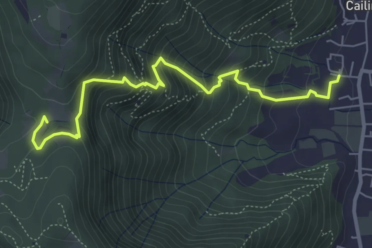
Medium · Trail
Villa Carcina (Cailina) – Quarone
5.7 km · ↑ 534 m · 2 h 30 min · 4 km away
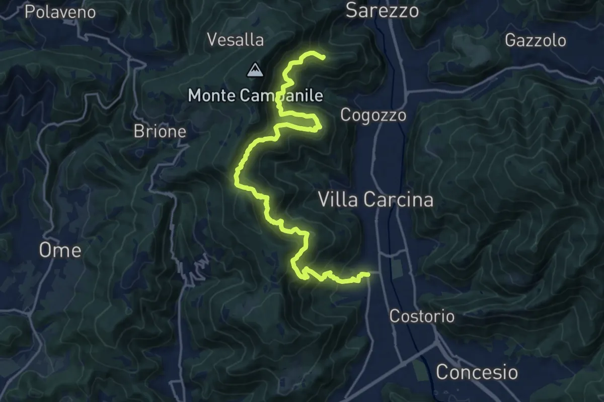
Demanding · Summit
Sentiero n° 1
19.4 km · ↑ 1506 m · 7 h 50 min · 4 km away
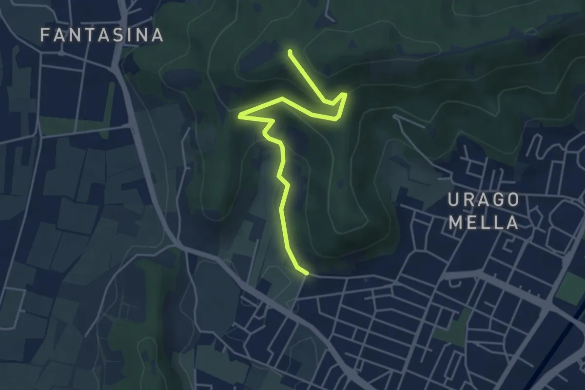
Easy · Trail
Brescia (Via Valle Bresciana) – Passo delle Crosette (Innesto Sentiero 3V)
4.0 km · ↑ 204 m · 1 h 24 min · 4 km away
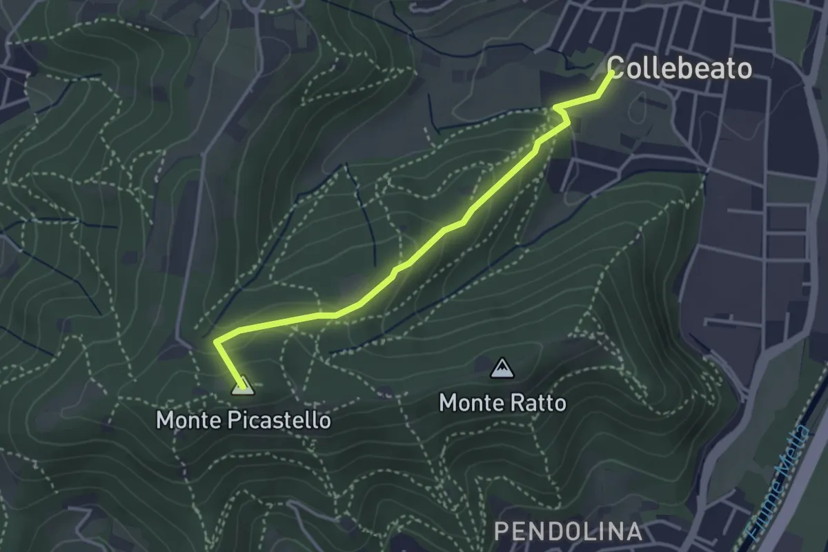
Medium · Summit
Collebeato (Via Angolo di Sotto) – Campiani (Il Merlo)
3.3 km · ↑ 178 m · 1 h 10 min · 4 km away
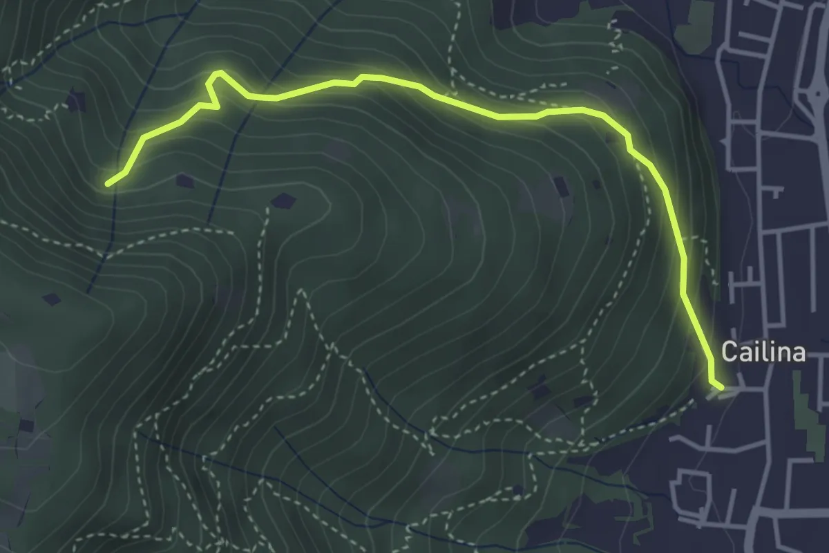
Medium · Trail
Villa Carcina (Cailina) – Roccolo del Prete
4.0 km · ↑ 379 m · 1 h 45 min · 5 km away
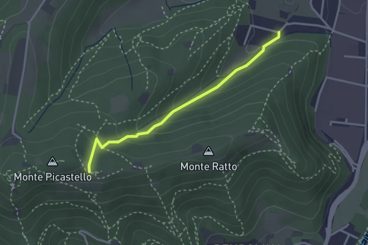
Easy · Trail
Collebeato (Campo de Carlì) – Innesto Sentiero 217
2.5 km · ↑ 158 m · 56 min · 5 km away
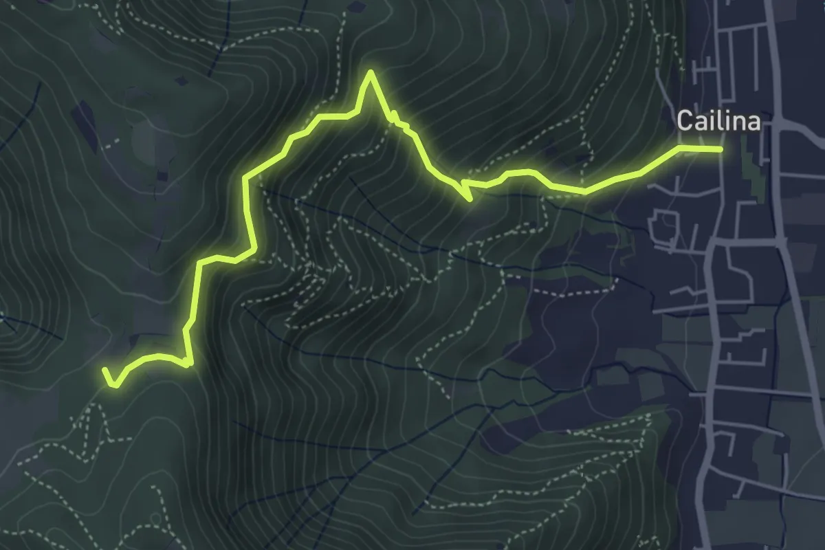
Medium · Trail
Villa Carcina (Cailina) – Quarone
5.8 km · ↑ 607 m · 2 h 42 min · 5 km away