Trails near Gussago
258 hikes starting within 15 km, nearest first.
Nearest first, page 5 of 6
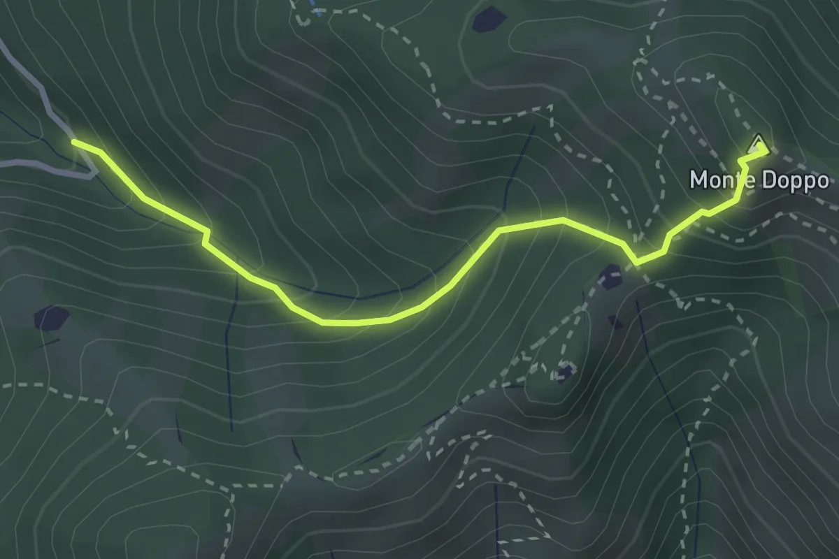
Expert · Summit
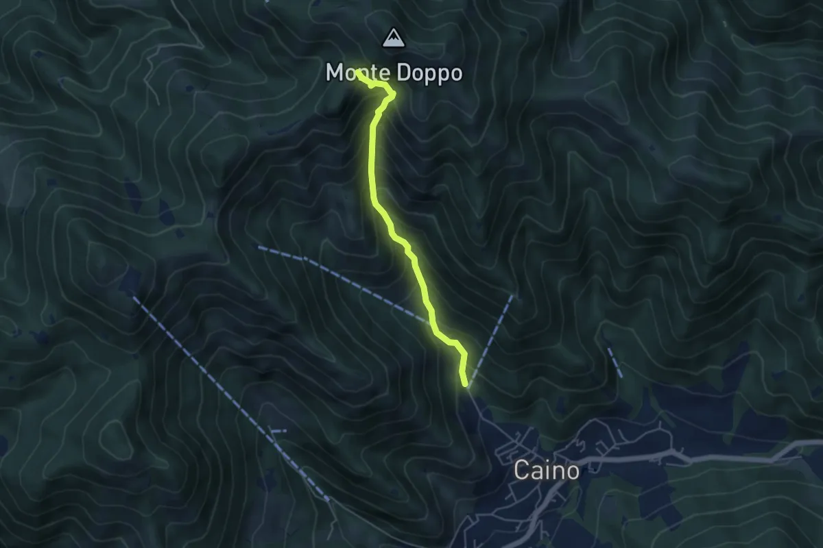
Lumezzane (Valle San Giorgio) - Monte Doppo
2.8 km · ↑ 348 m · 1 h 25 min · 12 km away
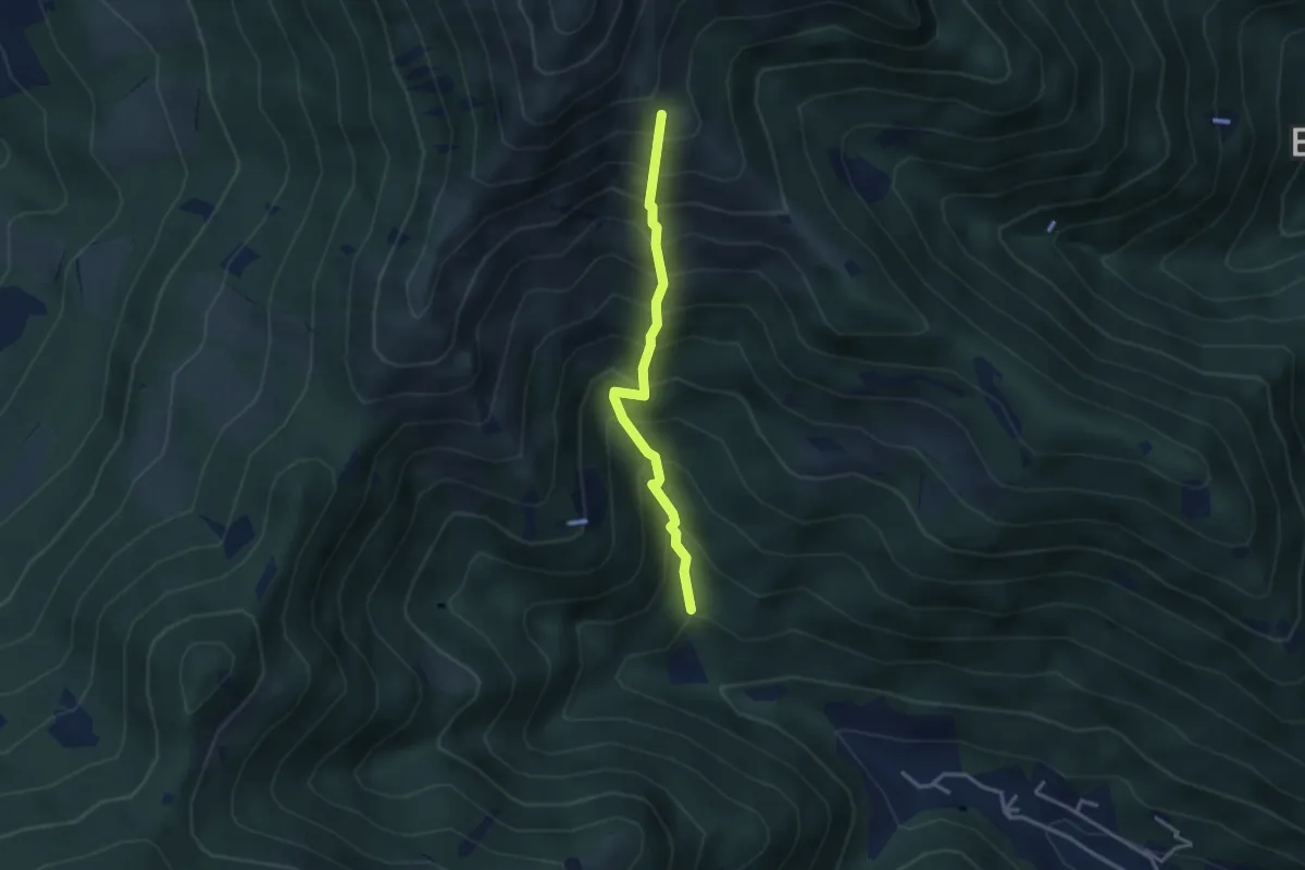
Medium · Trail
Vertical - Valle di Gardone
3.0 km · ↑ 567 m · 1 h 57 min · 12 km away
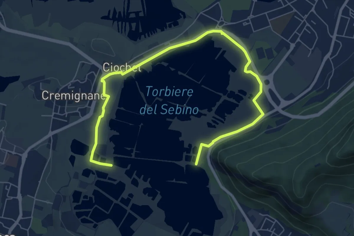
Medium · Trail
Percorso Pedonale Nord
8.5 km · ↑ 18 m · 2 h 3 min · 12 km away
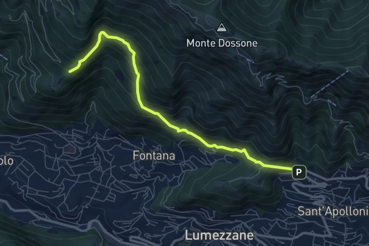
Demanding · Trail
Lumezzane (Ver) – San Bernardo (Bivio Zani Achille)
7.2 km · ↑ 587 m · 2 h 58 min · 12 km away
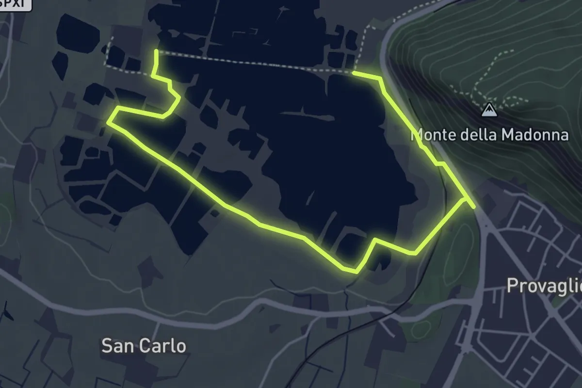
Easy · Trail
Percorso Pedonale Sud
6.4 km · ↑ 61 m · 1 h 39 min · 12 km away
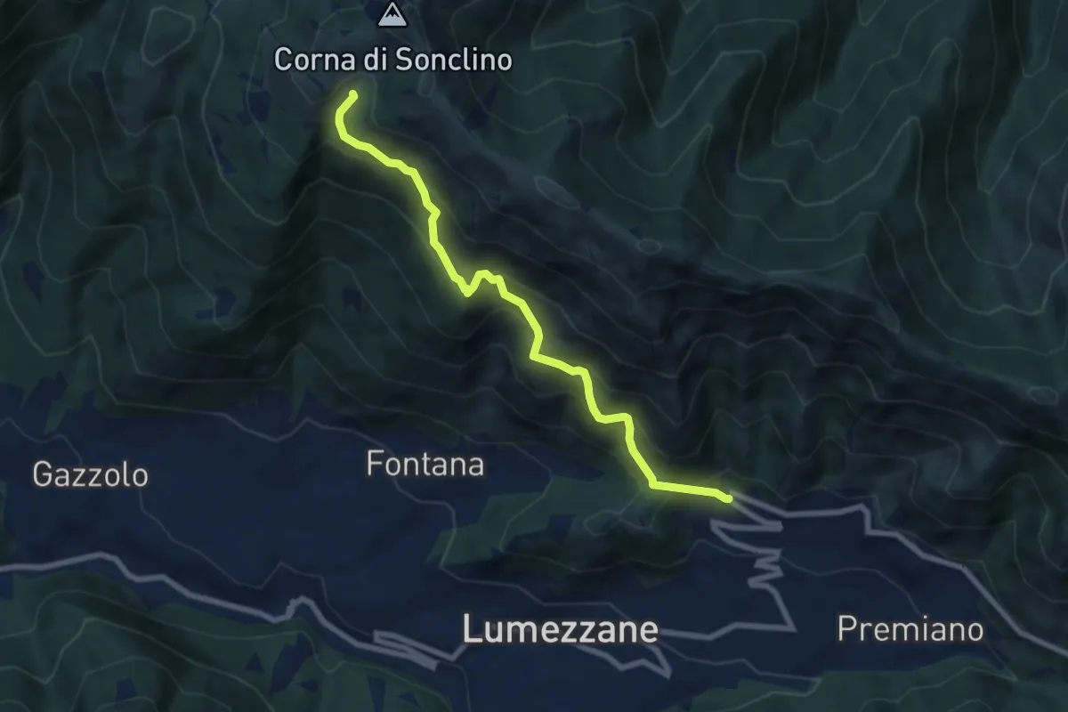
Medium · Trail
Lumezzane (Ver) – Malga Artecle
7.2 km · ↑ 618 m · 3 h 2 min · 12 km away
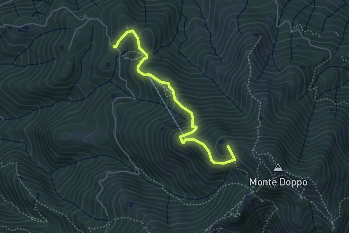
Medium · Summit
Lumezzane (Burio) - Bivio per San Giorgio
4.2 km · ↑ 376 m · 1 h 48 min · 12 km away
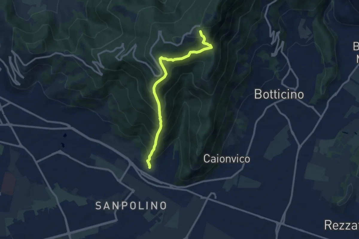
Demanding · Trail
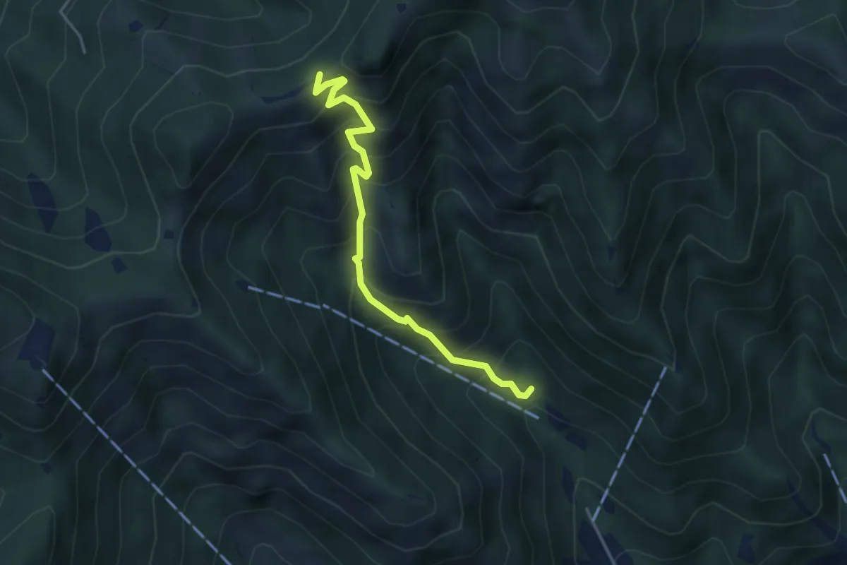
Brescia (Via del Triinale) – Chiesetta della Maddalena
7.4 km · ↑ 760 m · 3 h 24 min · 12 km away
Medium · Trail
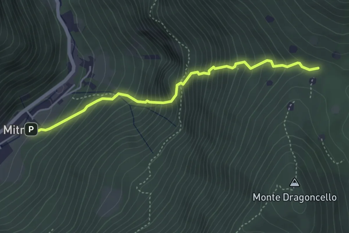
Caino (Madonna delle Fontane) – San Giorgio (Innesto Sentiero 381)
3.9 km · ↑ 503 m · 2 h 1 min · 12 km away
Demanding · Trail
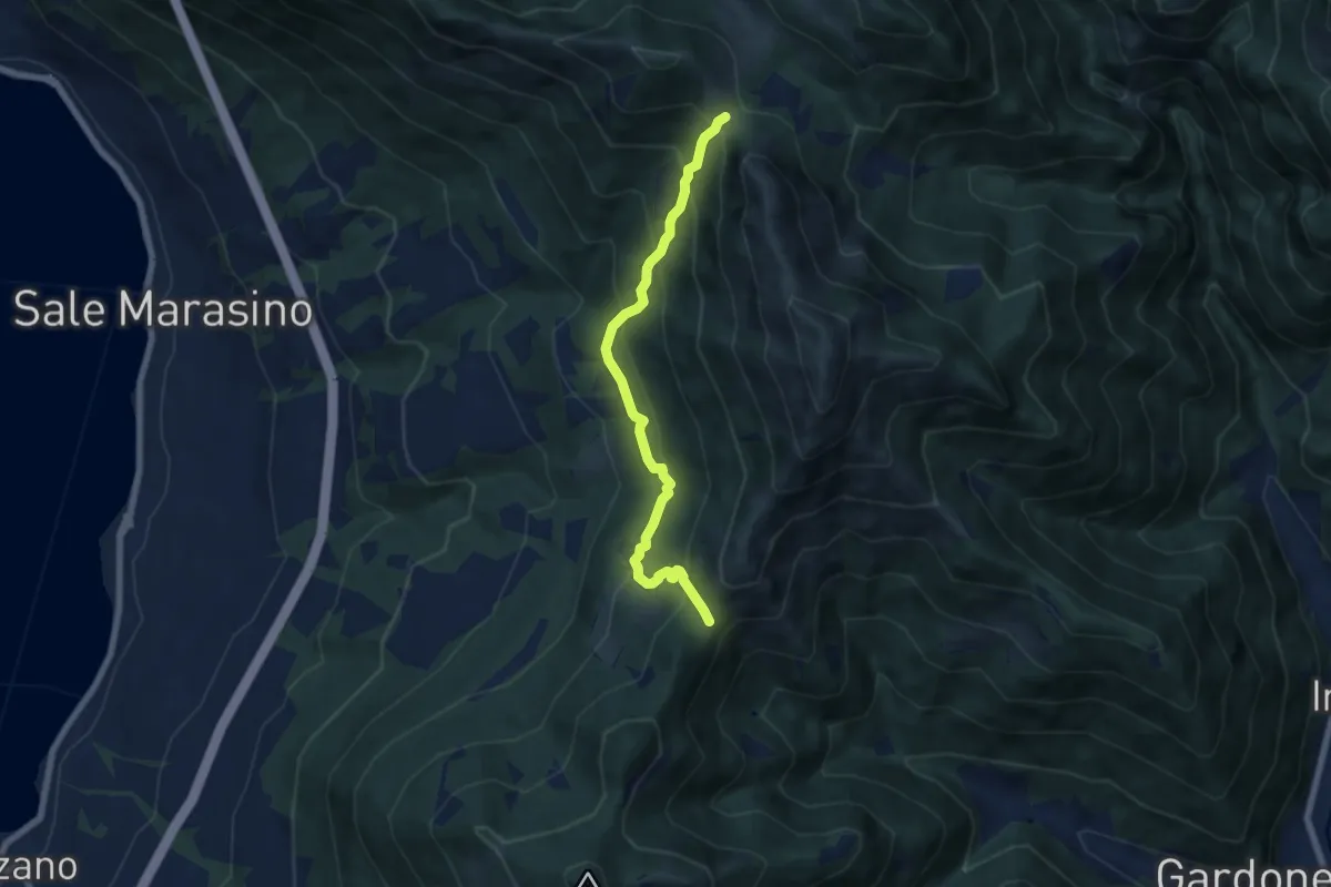
Sentiero della dieta
4.1 km · ↑ 675 m · 2 h 26 min · 12 km away
Medium · Trail
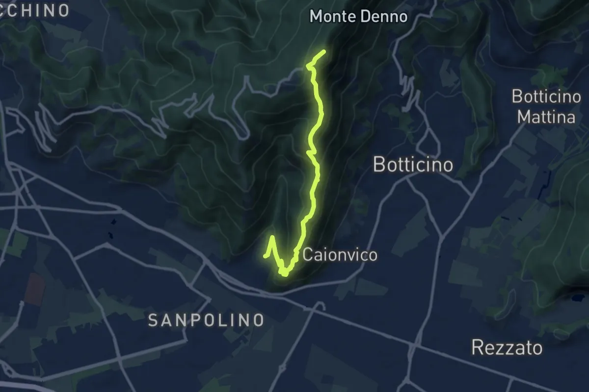
Sentiero 3V - Tappa 7 (Variante bassa)
6.7 km · ↑ 568 m · 2 h 48 min · 12 km away
Demanding · Summit
Brescia (Sant'Eufemia - Via Cesare Noventa) – Ex Rifugio Monte Maddalena
9.1 km · ↑ 718 m · 3 h 42 min · 12 km away
Expert · Trail
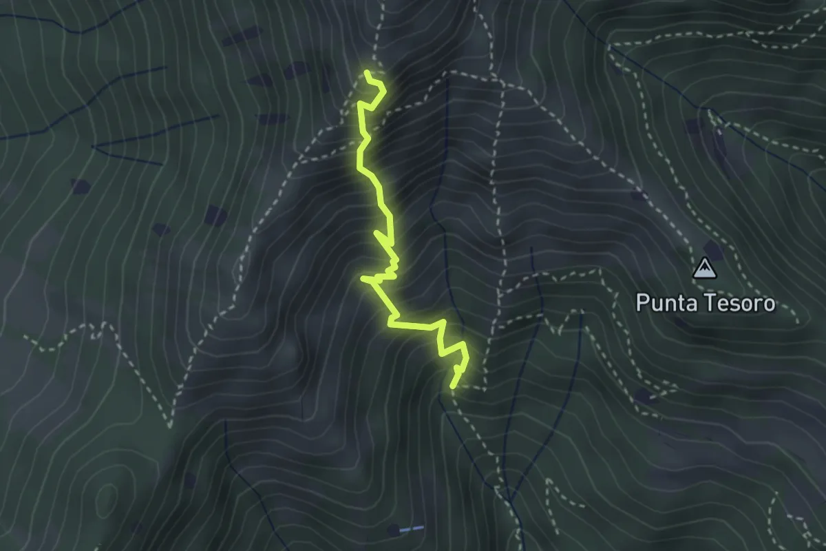
Diretta Corna Büsa - Punta Almana (Innesto Sentiero 3V)
2.7 km · ↑ 554 m · 1 h 50 min · 12 km away
Medium · Summit
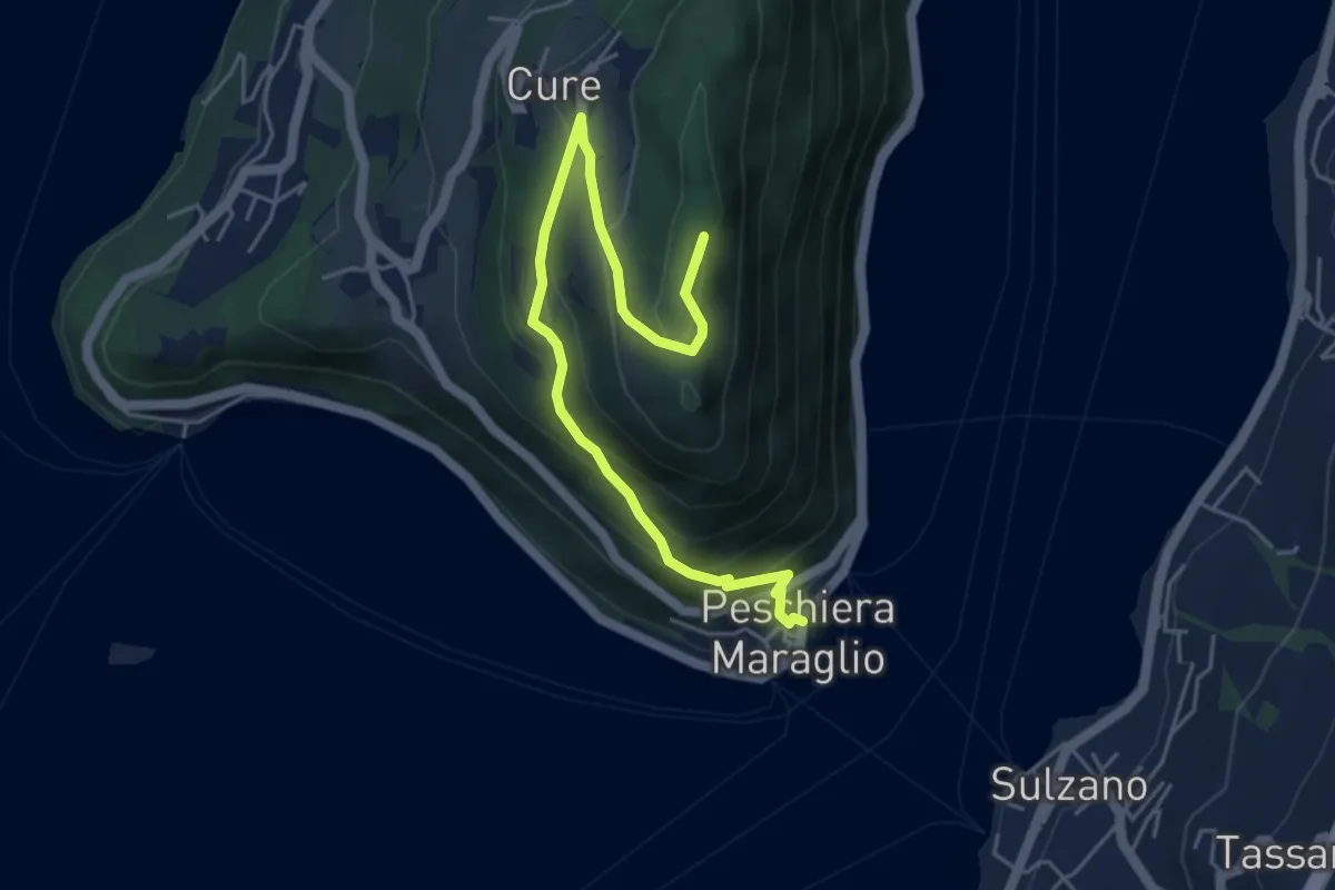
Pescheria Maraglio - Santuario della Ceriola
5.7 km · ↑ 392 m · 2 h 11 min · 12 km away
Medium · Trail
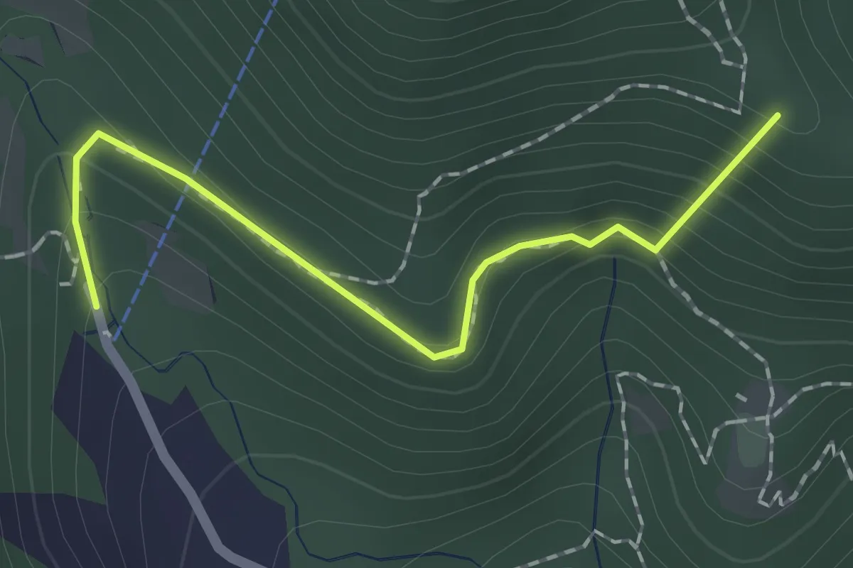
Caino (Pian delle Castagne) – Eremo di San Giorgio (Innesto Sentiero 381)
4.3 km · ↑ 584 m · 2 h 16 min · 12 km away
Easy · Summit
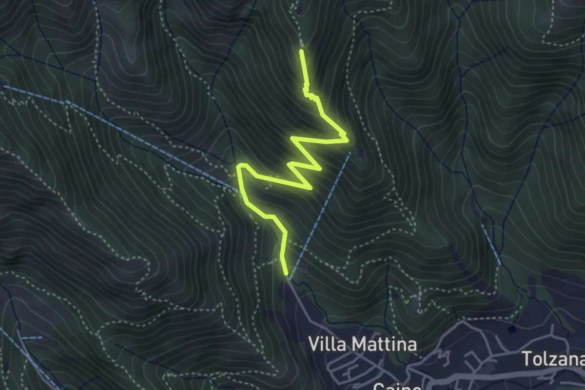
Sentiero dei Papi
1.7 km · ↑ 130 m · 42 min · 12 km away
Medium · Summit
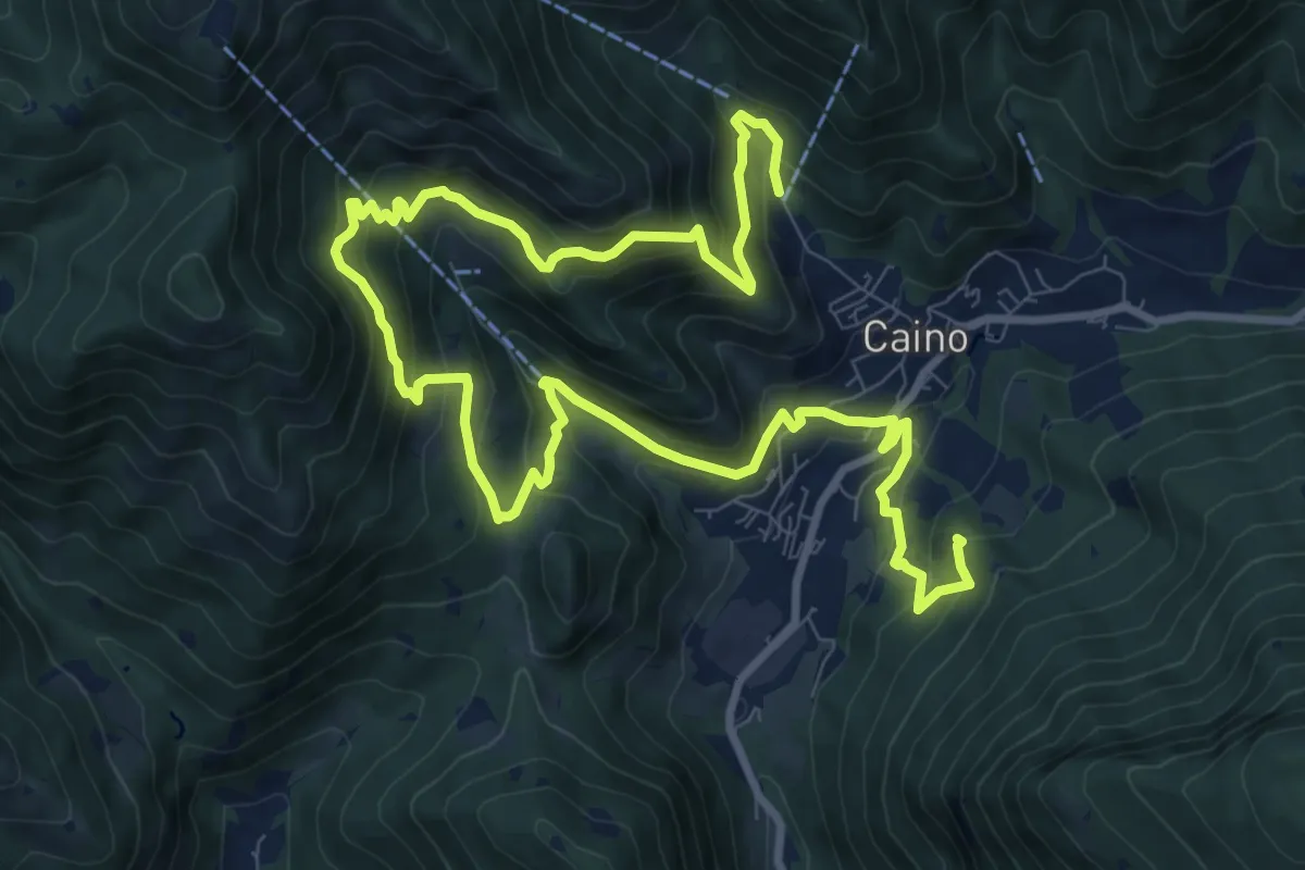
Caino (Pian delle Castagne) – Monte Doppo (Innesto Sentiero 381)
4.1 km · ↑ 407 m · 1 h 50 min · 12 km away
Demanding · Summit
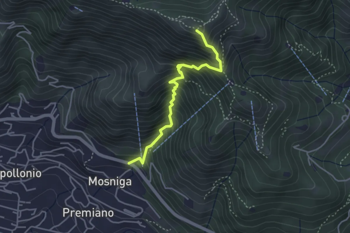
Caino (Pian delle Castagne) – Val Bertone
15.5 km · ↑ 1050 m · 5 h 56 min · 12 km away
Medium · Summit
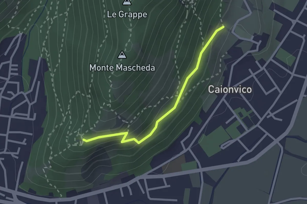
Lumezzane (Mosniga) - Punta Camoghera
3.4 km · ↑ 515 m · 1 h 55 min · 12 km away
Medium · Trail
Sentiero della Ruta
2.1 km · ↑ 95 m · 42 min · 13 km away
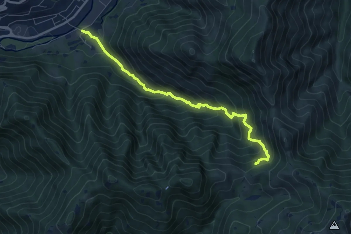
Medium · Trail
Sentiero storico naturalistico Valle di Vandeno
7.2 km · ↑ 684 m · 3 h 11 min · 13 km away
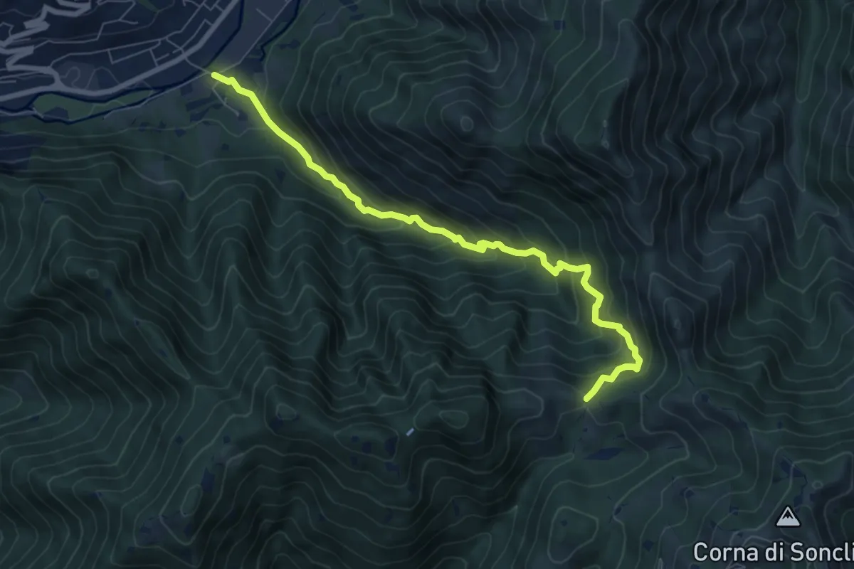
Medium · Trail
Marcheno (Rovedolo) – Forcella di Vandeno
7.6 km · ↑ 730 m · 3 h 23 min · 13 km away
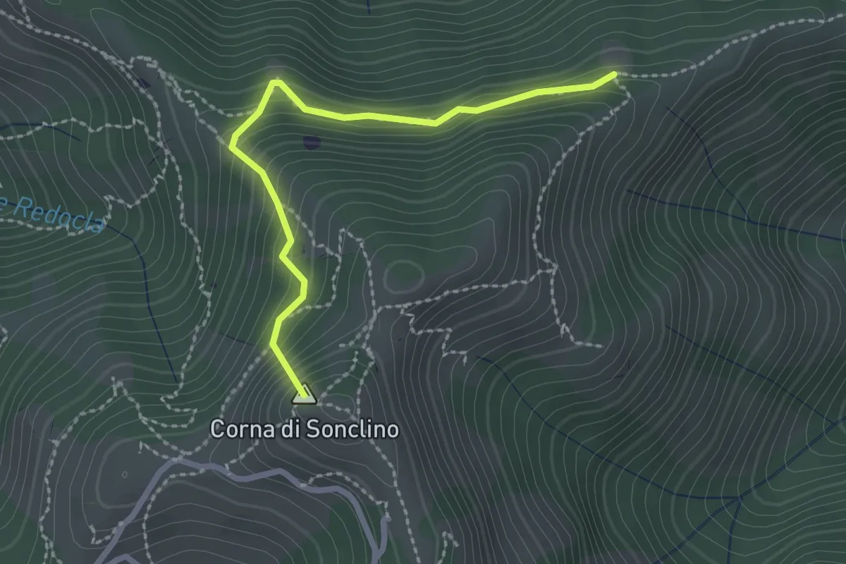
Easy · Summit
Marcheno (Tesa Guizzi) - Lumezzane (Parcheggio Sonclino)
2.3 km · ↑ 229 m · 1 h 3 min · 13 km away
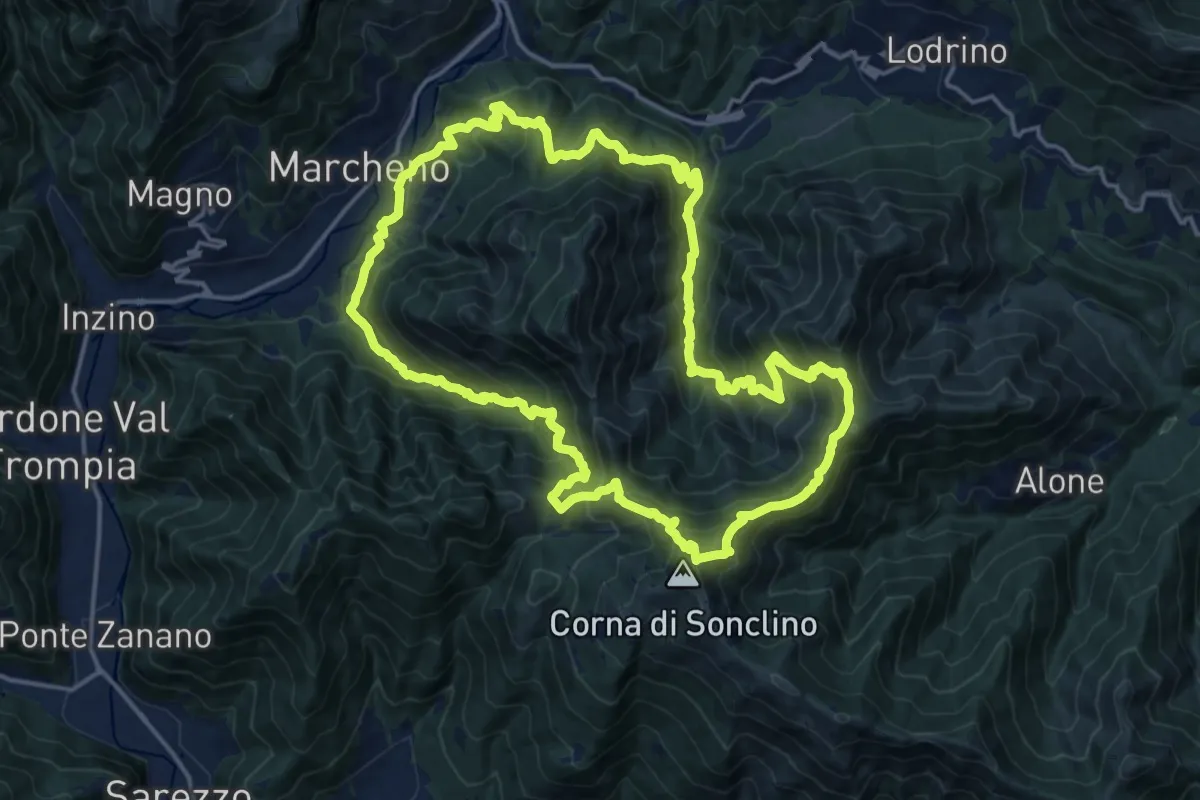
Demanding · Summit
Sentiero 122ª Brigata Garibaldi
17.5 km · ↑ 1345 m · 7 h 17 min · 13 km away
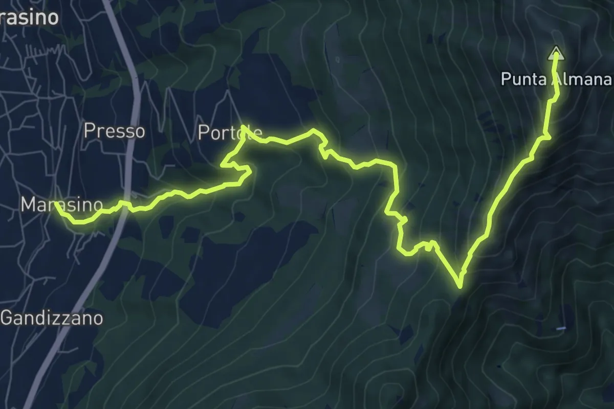
Demanding · Summit
Marasino – Punta Almana
11.4 km · ↑ 1126 m · 5 h 9 min · 13 km away
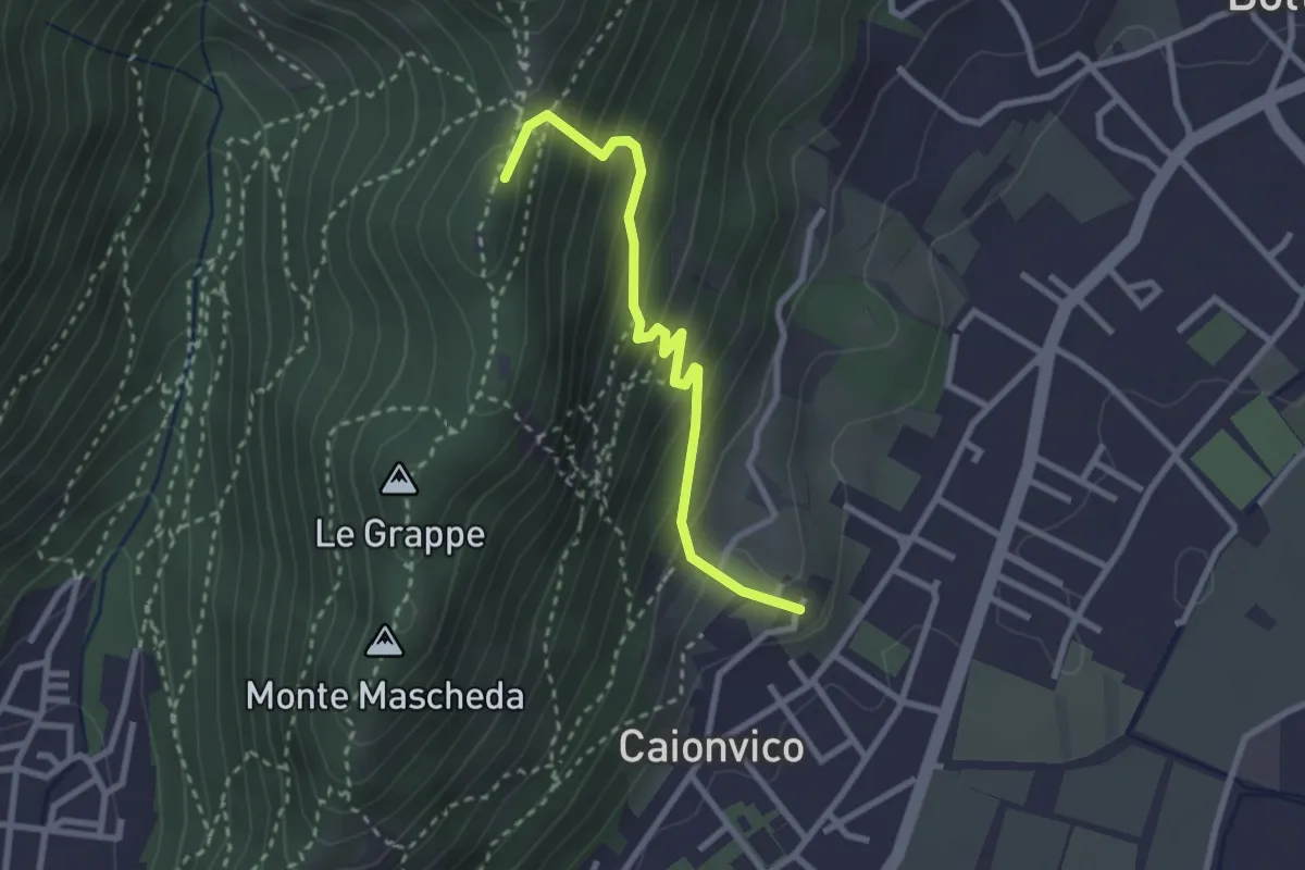
Demanding · Summit
Caionvico (Cimitero) – Sella della Poffa (Innesto Sentiero 901)
2.7 km · ↑ 293 m · 1 h 17 min · 13 km away
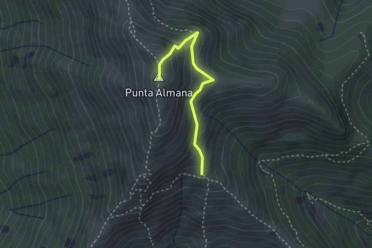
Medium · Summit
Gardone Val Trompia (Bivio Sentiero 313) – Punta Almana
2.4 km · ↑ 309 m · 1 h 14 min · 13 km away
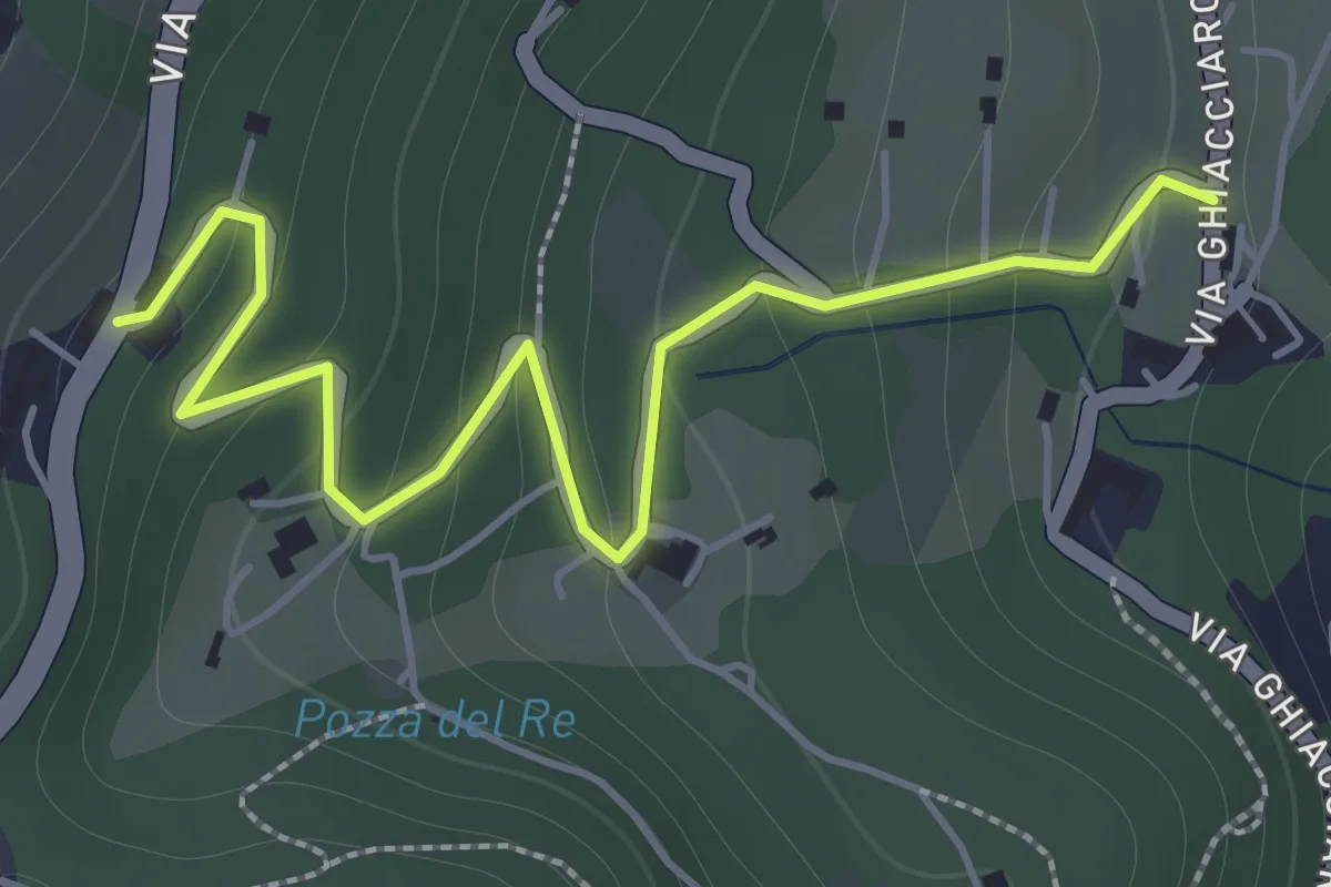
Easy · Trail
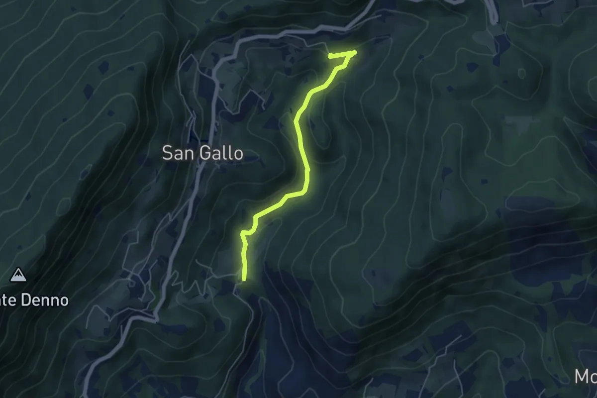
La Via del marmo - Botticino (San Gallo)
2.0 km · ↑ 147 m · 48 min · 13 km away
Medium · Summit
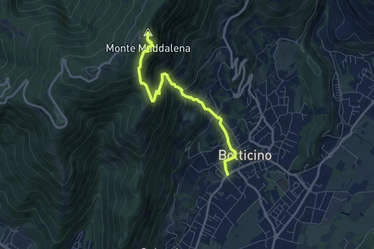
La Via del marmo - Botticino (Molino dell'Ora- Castello di Serle)
4.5 km · ↑ 178 m · 1 h 27 min · 13 km away
Medium · Summit
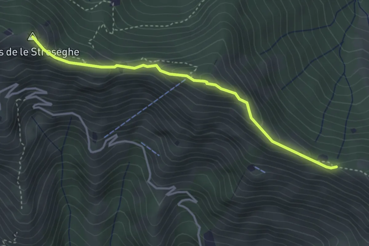
Botticino (Via Gioacchino Rossini) – Ex Rifugio Monte Maddalena
6.6 km · ↑ 756 m · 3 h 12 min · 13 km away
Expert · Summit
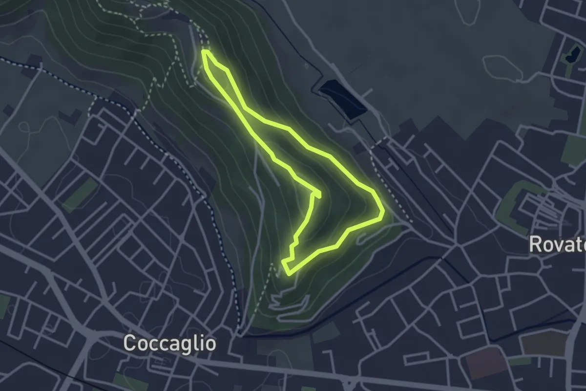
Sentiero 3V - Tappa 2 (Variante alta)
3.5 km · ↑ 313 m · 1 h 30 min · 13 km away
Medium · Trail
Rovato Via Monte Orfano – Rovato Via Monte Orfano
2.7 km · ↑ 135 m · 58 min · 13 km away
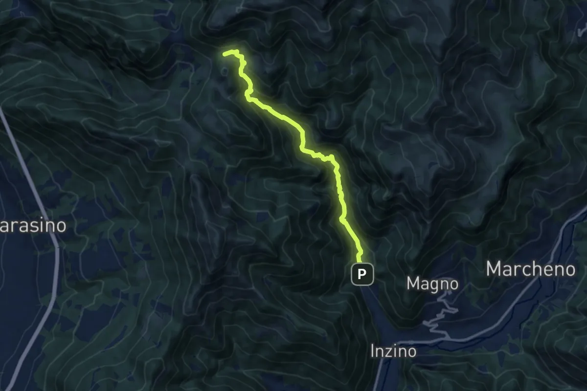
Demanding · Cabin
Gardone Val Trompia (Valle di Inzino - Gorga) – Croce di Marone
10.3 km · ↑ 837 m · 4 h 14 min · 13 km away
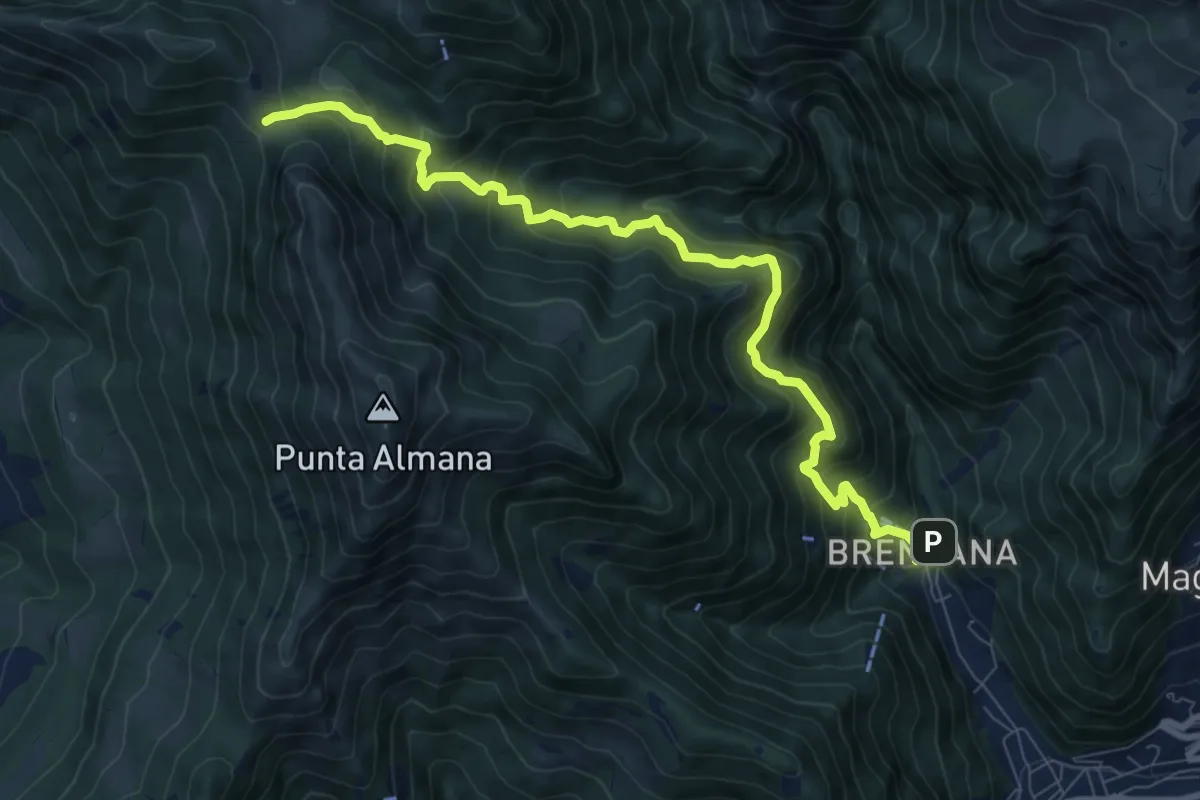
Demanding · Trail
Gardone Val Trompia (Valle di Inzino - Gorga) – Forcella di Sale
9.4 km · ↑ 904 m · 4 h 11 min · 13 km away
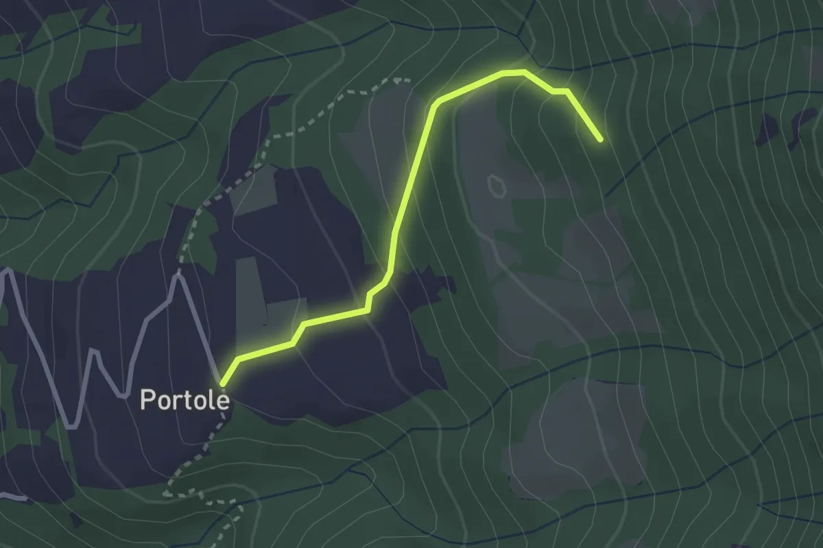
Easy · Trail
Portole – Percorso 238
2.4 km · ↑ 216 m · 1 h 2 min · 13 km away
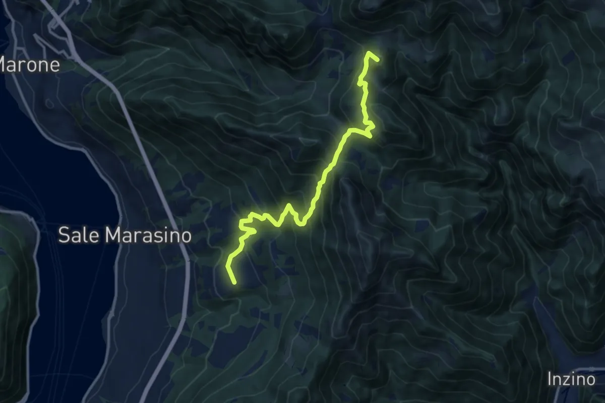
Demanding · Summit
Malghe in Rete - Trekking - Le Valli Tappa 2
11.5 km · ↑ 939 m · 4 h 45 min · 13 km away
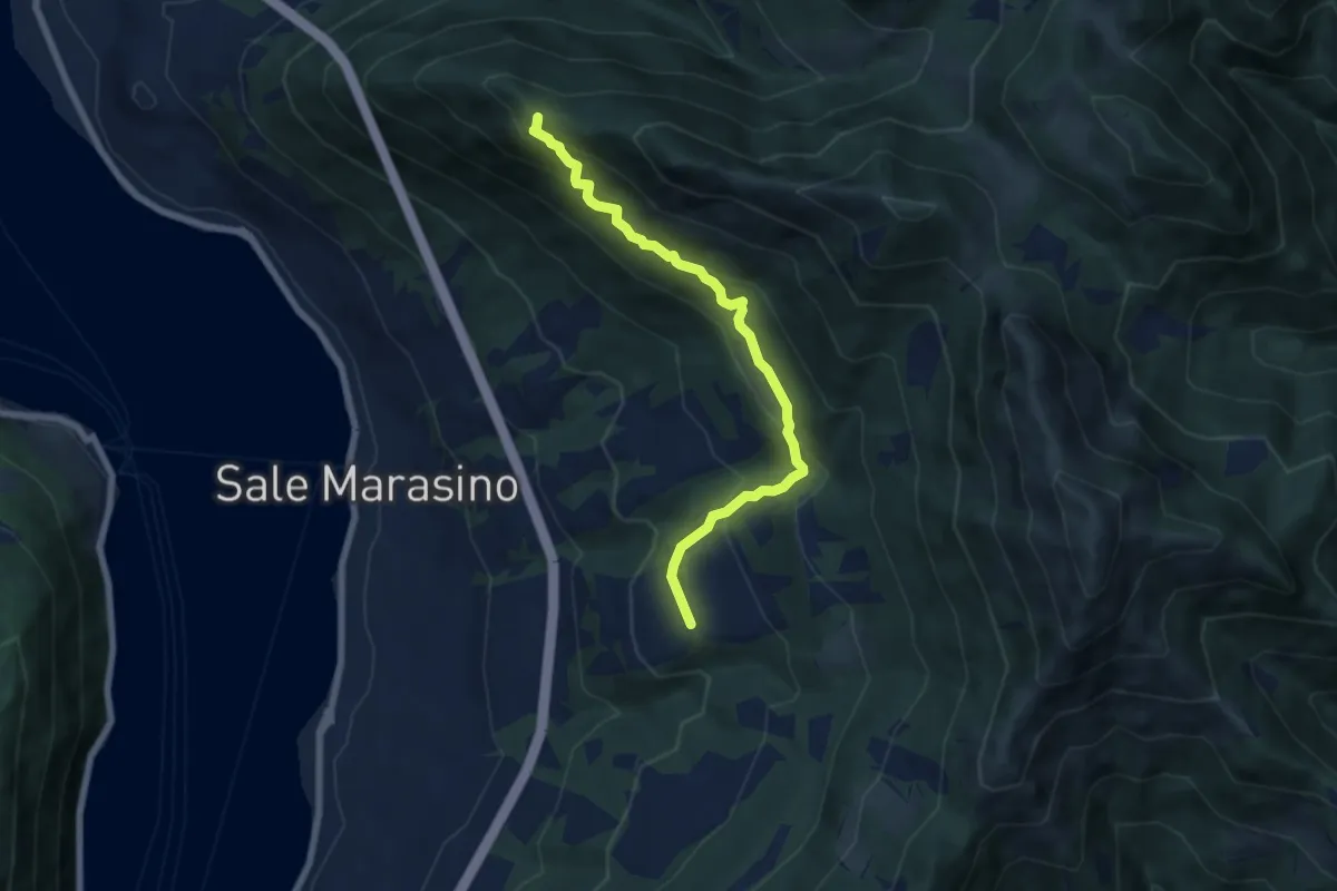
Medium · Summit
Portole – Punta dei Dossi
6.8 km · ↑ 576 m · 2 h 51 min · 13 km away
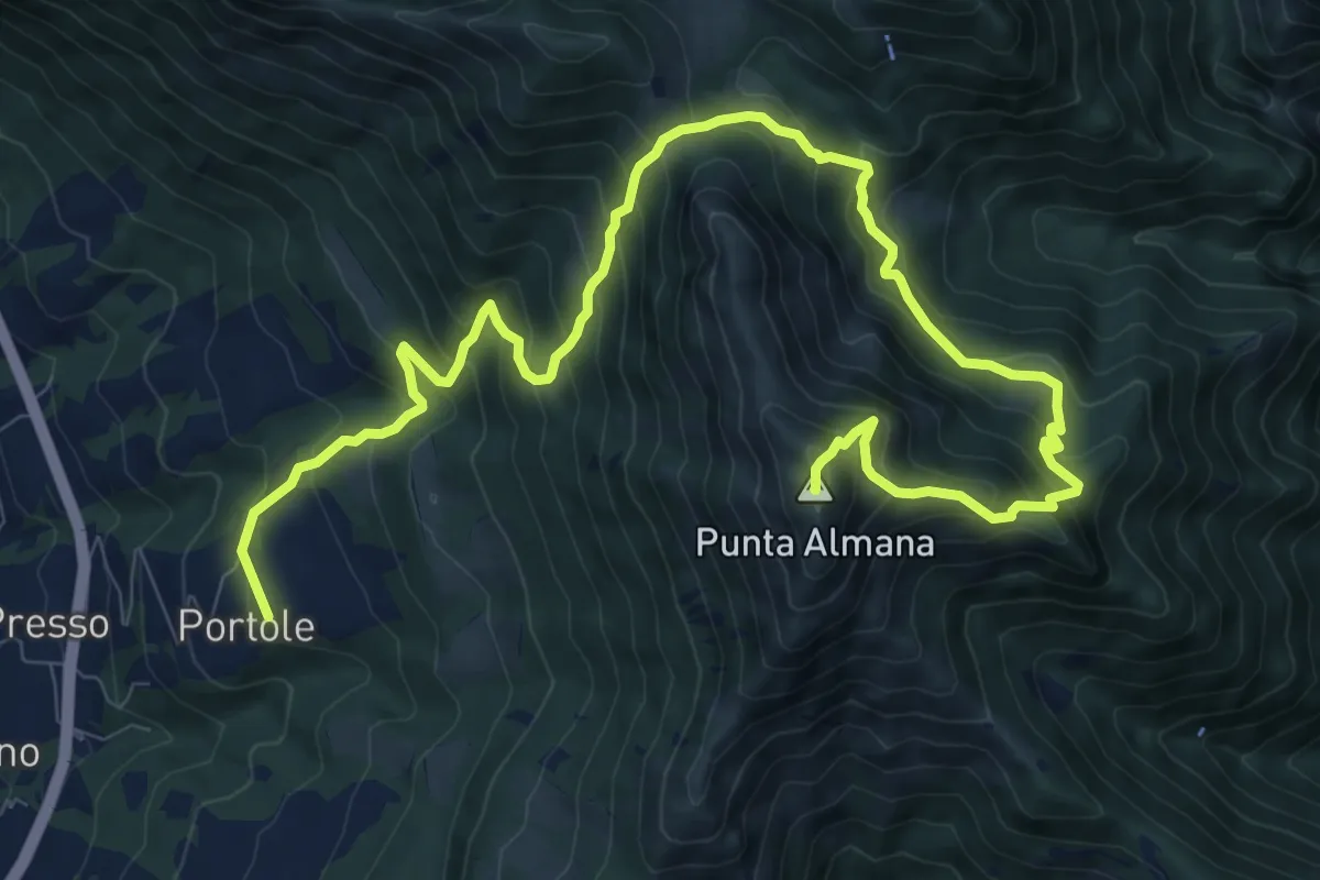
Demanding · Summit
Portole – Punta Almana
13.6 km · ↑ 1282 m · 5 h 59 min · 13 km away
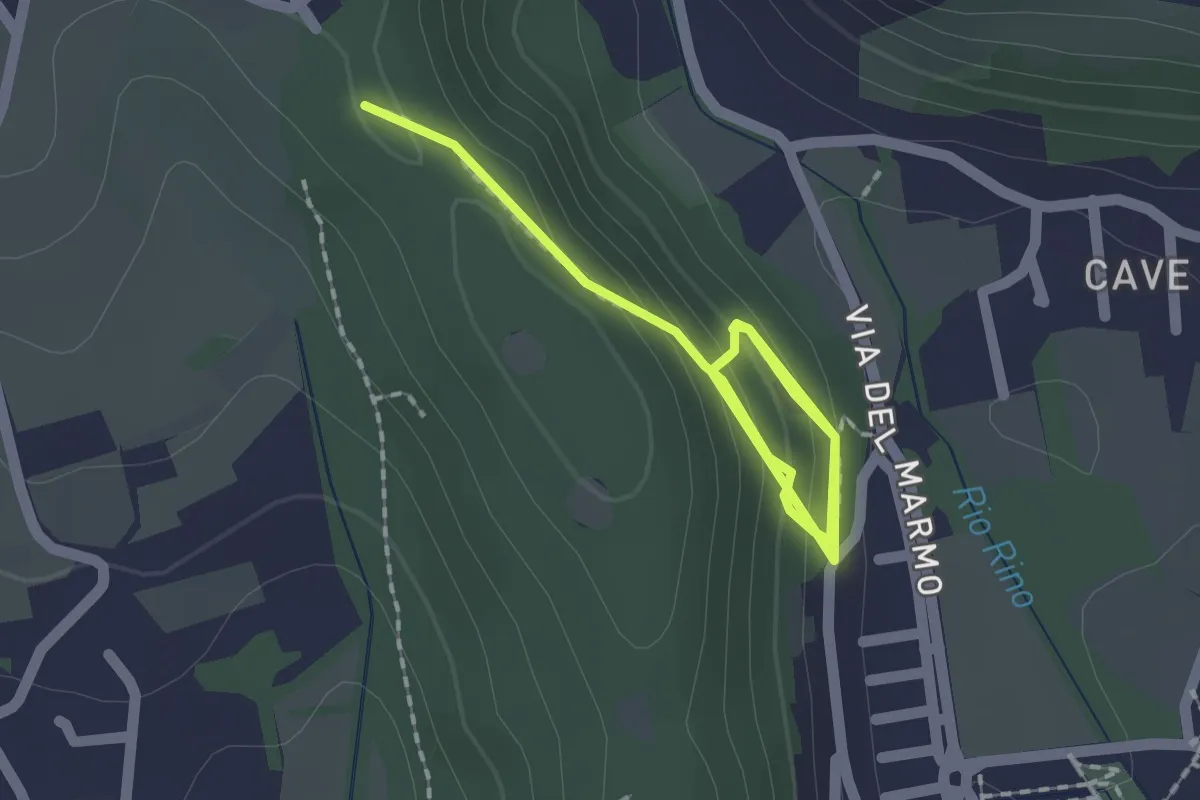
Demanding · Trail
La Via del marmo - Botticino (Castagneto)
2.5 km · ↑ 123 m · 52 min · 13 km away
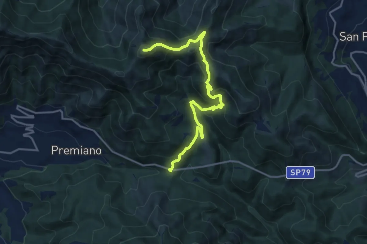
Demanding · Summit
Lumezzane (Passo del Cavallo) – Punta Camoghera
10.5 km · ↑ 734 m · 4 h 4 min · 13 km away
Medium · Summit
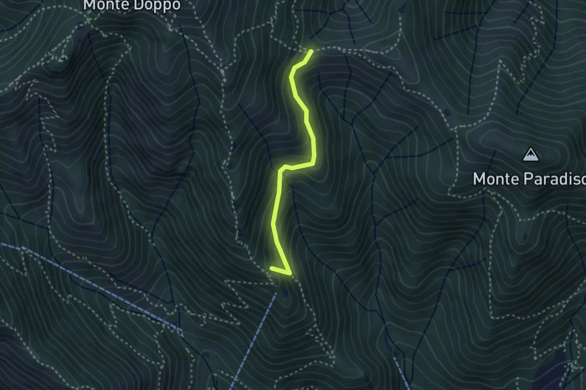
Caino (Pian delle Castagne) – Boatica (Innesto Sentiero 381)
2.6 km · ↑ 259 m · 1 h 10 min · 13 km away
Medium · Trail
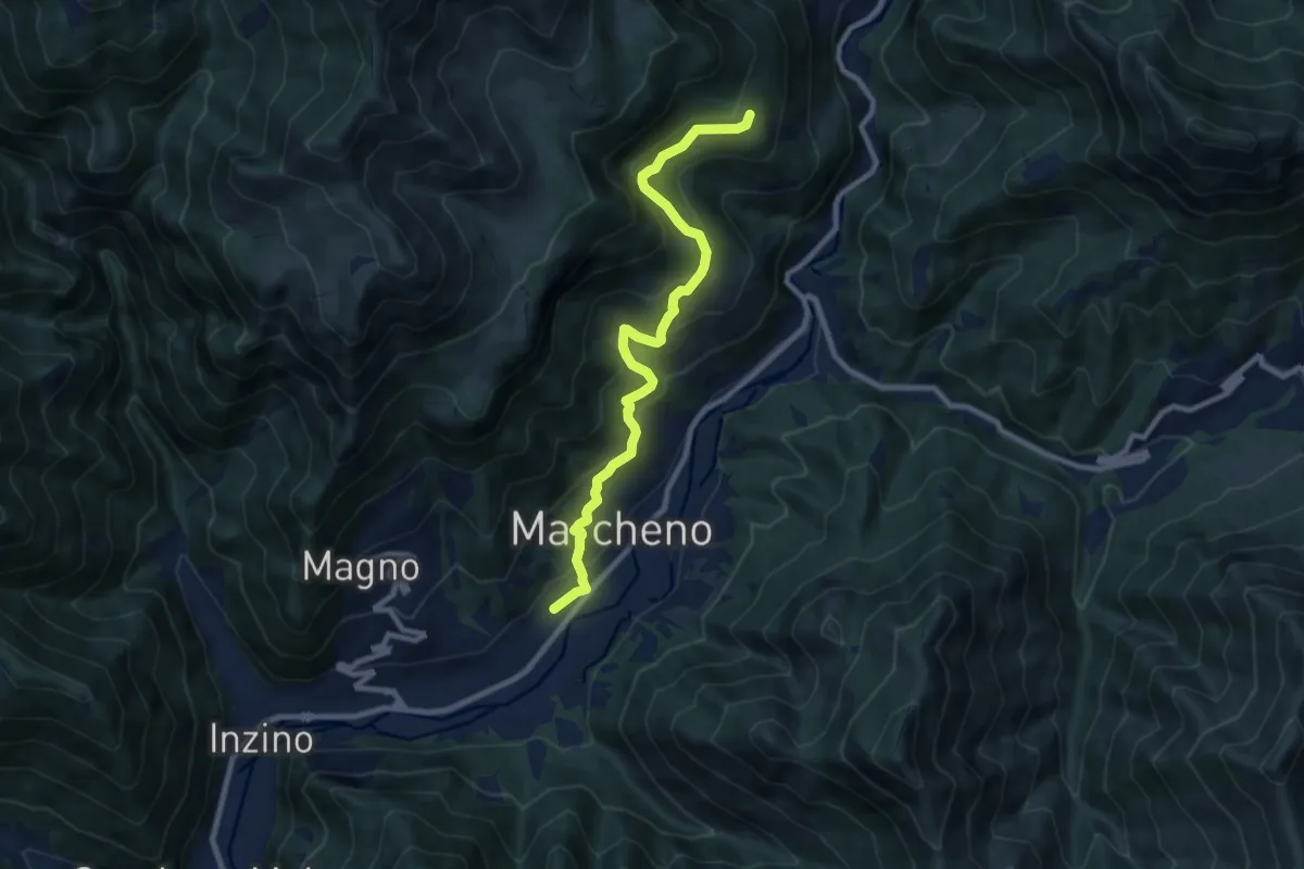
Sentiero Franco Moretti
9.1 km · ↑ 551 m · 3 h 20 min · 13 km away
Medium · Trail
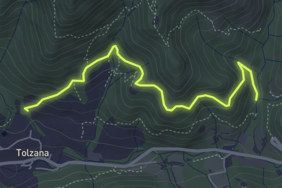
Caino (San Cap) – Val Bertone
4.9 km · ↑ 452 m · 2 h 9 min · 13 km away
Demanding · Trail
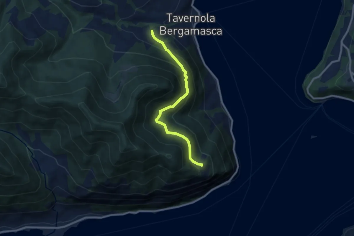
Bianica – Case il Monte
6.1 km · ↑ 457 m · 2 h 26 min · 13 km away
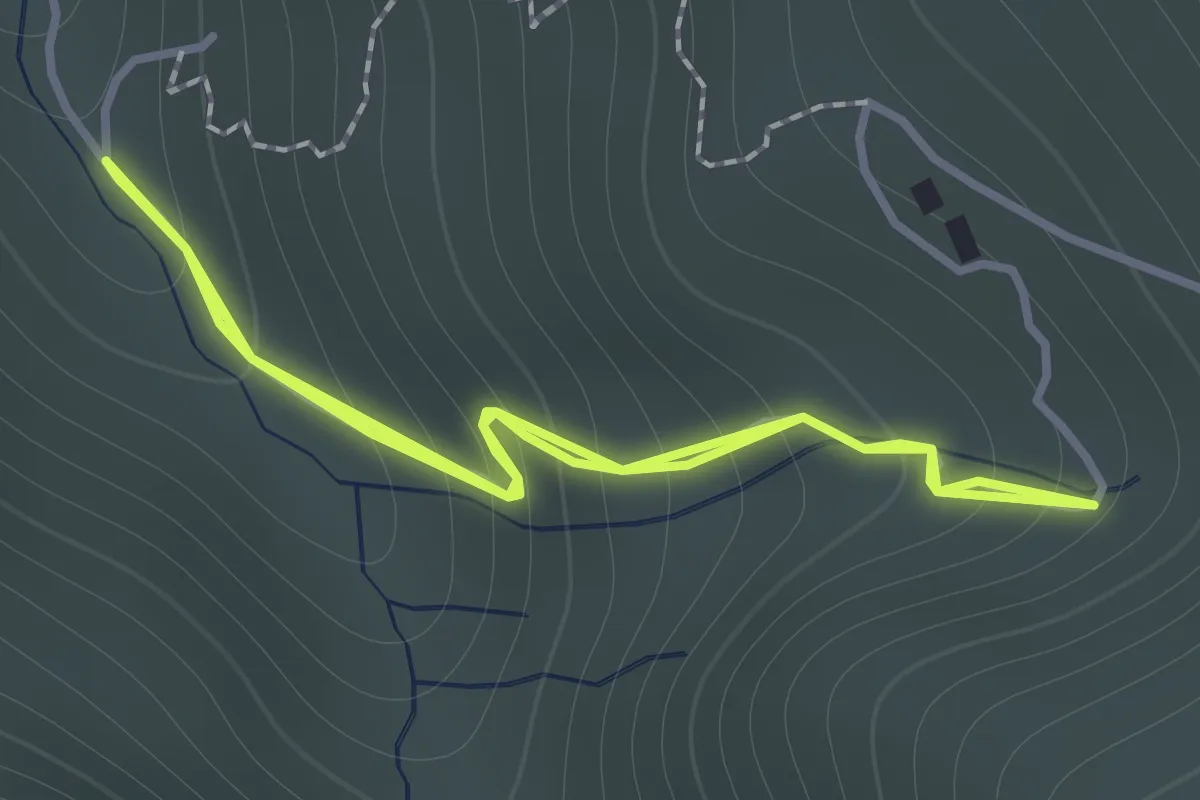
Easy · Trail
Sentiero 122ª Brigata Garibaldi - Variante 3
1.1 km · ↑ 138 m · 34 min · 14 km away
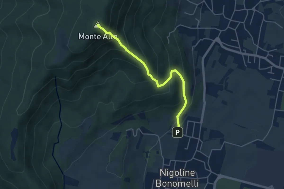
Medium · Summit
Sentiero della Scala Santa
3.7 km · ↑ 398 m · 1 h 44 min · 14 km away
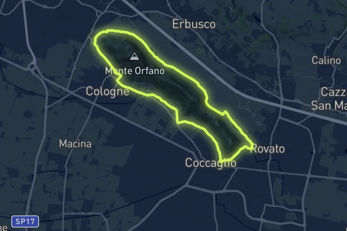
Medium · Trail
Rovato Chiesa S. Stefano – Rovato Chiesa S. Stefano
12.9 km · ↑ 158 m · 3 h 34 min · 14 km away
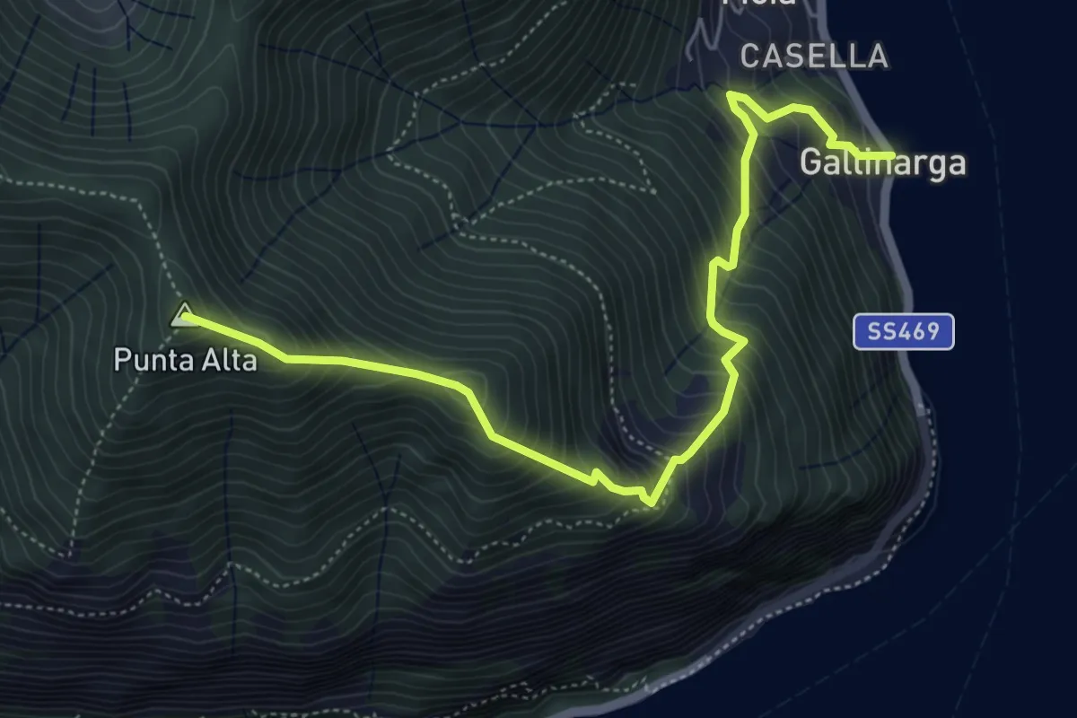
Demanding · Summit
Gallinarga – Colle del Giogo
5.9 km · ↑ 744 m · 3 h · 14 km away