Trails near Igrèsias / Iglesias
65 hikes starting within 15 km, nearest first.
Nearest first, page 1 of 2
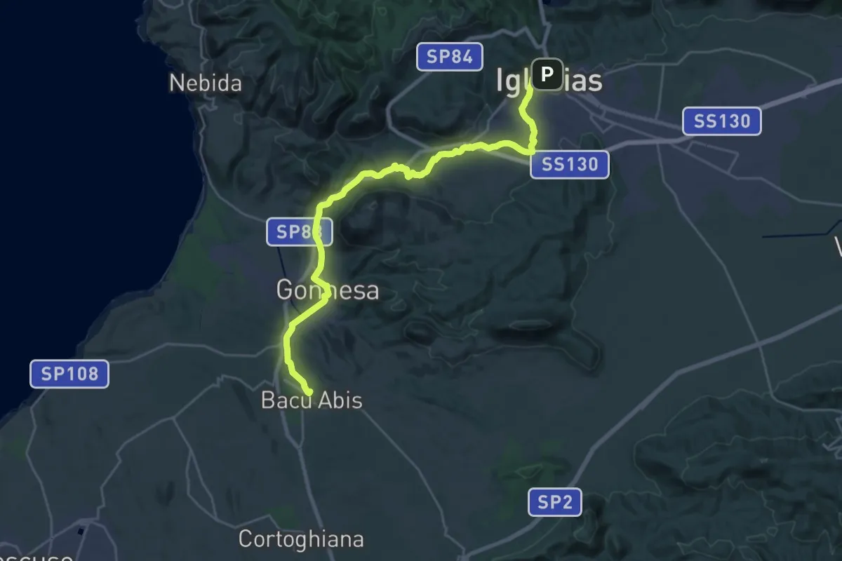
Demanding · Trail
CMSB 30
29.8 km · ↑ 417 m · 7 h 56 min · under 1 km away
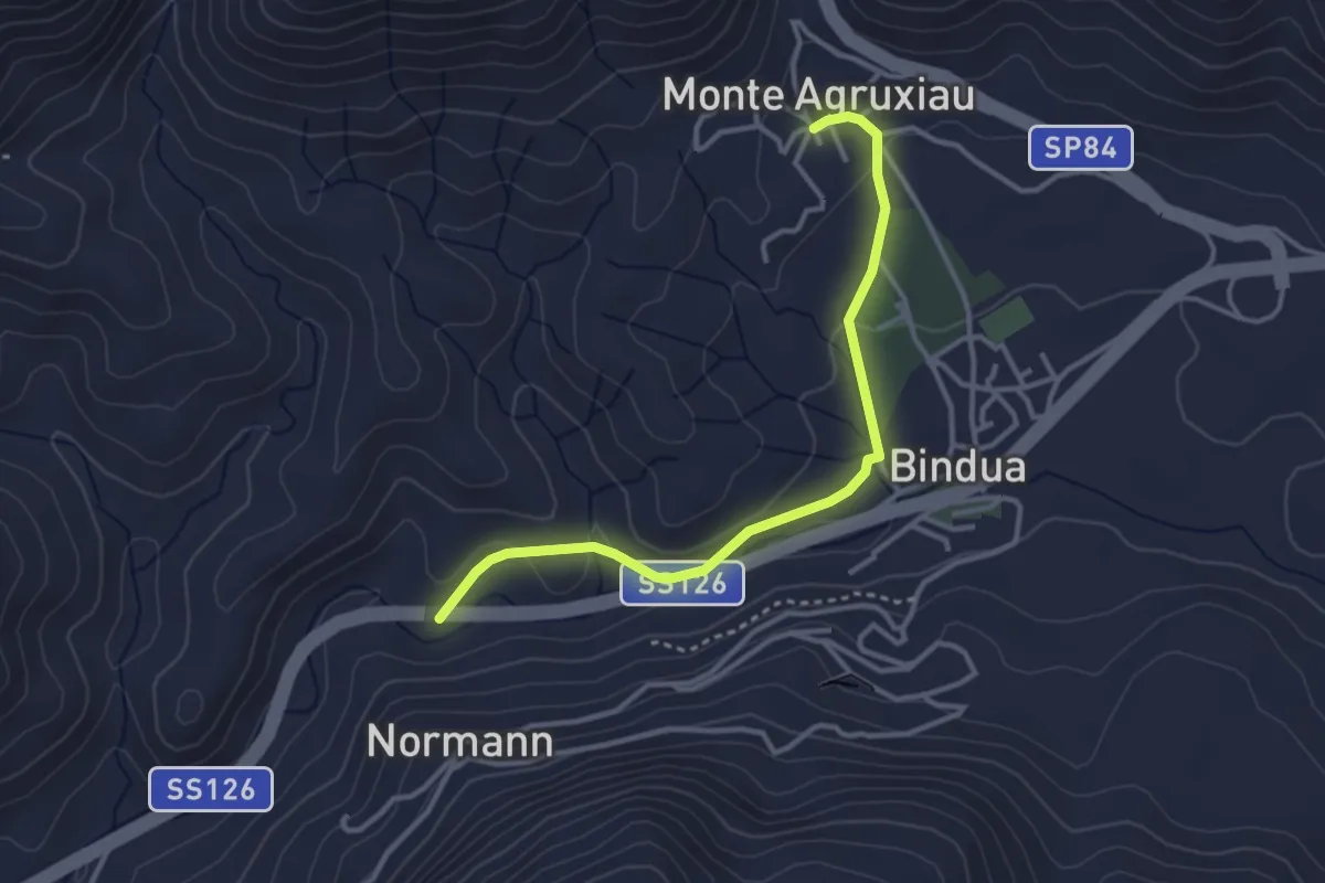
Easy · Trail
Monte Agruxiau – Fontana Coperta
3.8 km · ↑ 77 m · 1 h 3 min · 4 km away
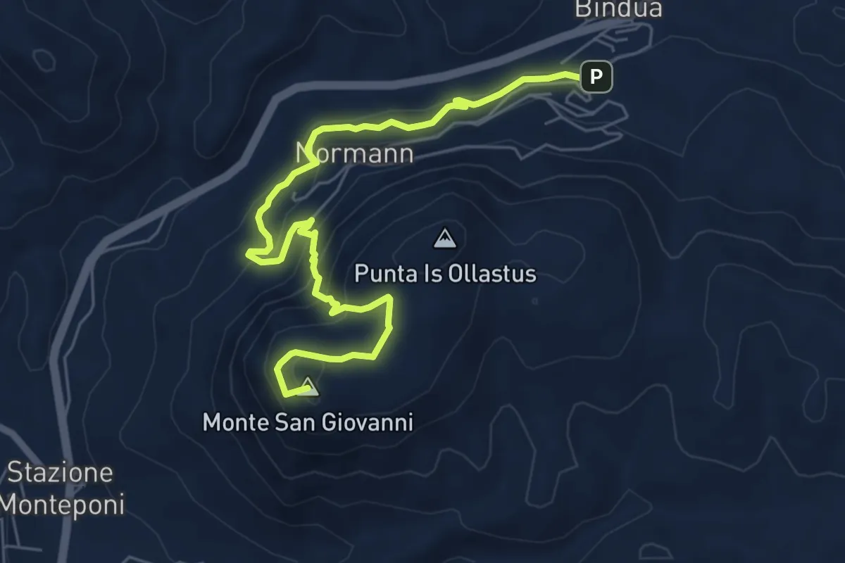
Medium · Summit
Miniera San Giovanni – Gonnesa
7.8 km · ↑ 517 m · 2 h 57 min · 4 km away
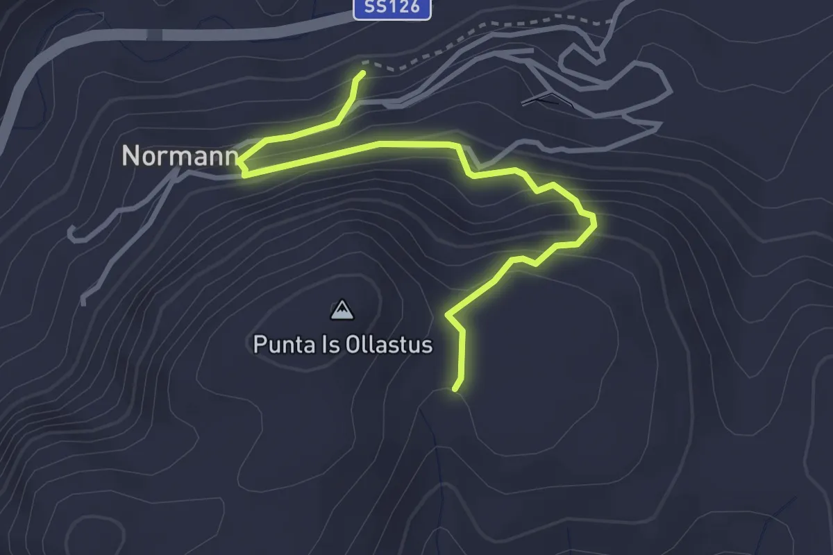
Easy · Trail
Carreggio 120 Laveria Vecchia – Is Guardianus
3.7 km · ↑ 297 m · 1 h 30 min · 5 km away
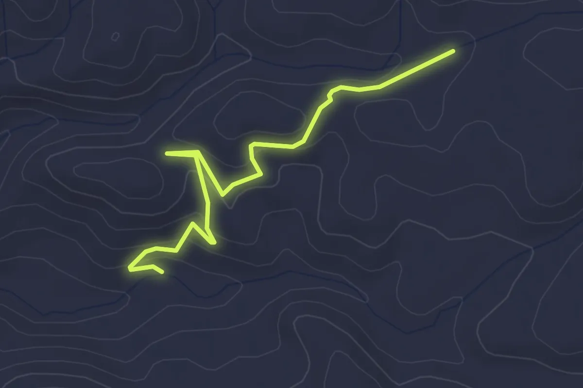
Easy · Trail
Percorso 512 – Laveria Seddas Moddizzis
4.2 km · ↑ 152 m · 1 h 19 min · 5 km away
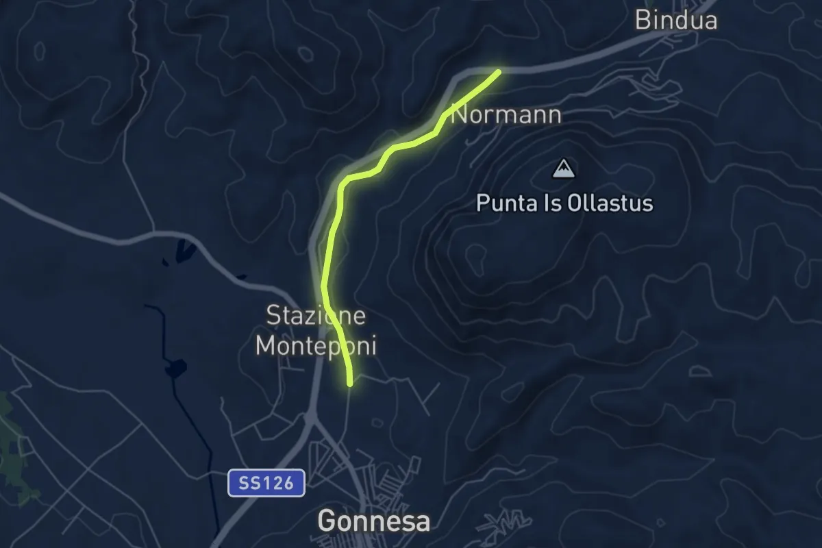
Easy · Trail
Funtana Coperta – Gonnesa (stadio)
4.9 km · ↑ 75 m · 1 h 19 min · 5 km away
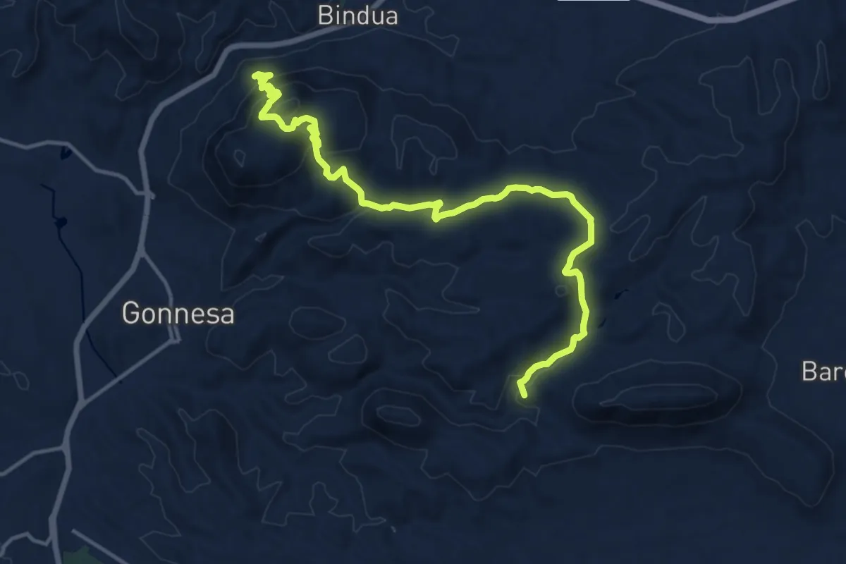
Medium · Summit
Villaggio Normann – Gonnesa
17.2 km · ↑ 715 m · 5 h 36 min · 5 km away
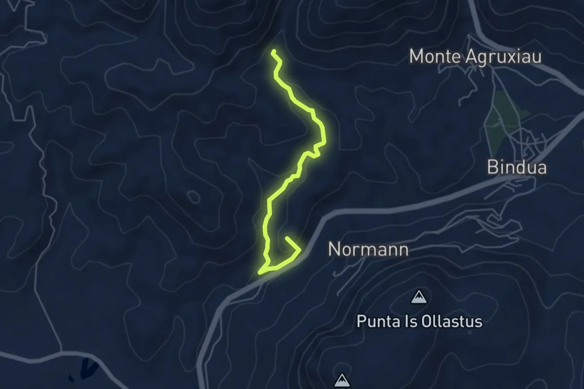
Easy · Summit
Monte Scorra – Funtana Coperta
4.8 km · ↑ 248 m · 1 h 41 min · 5 km away
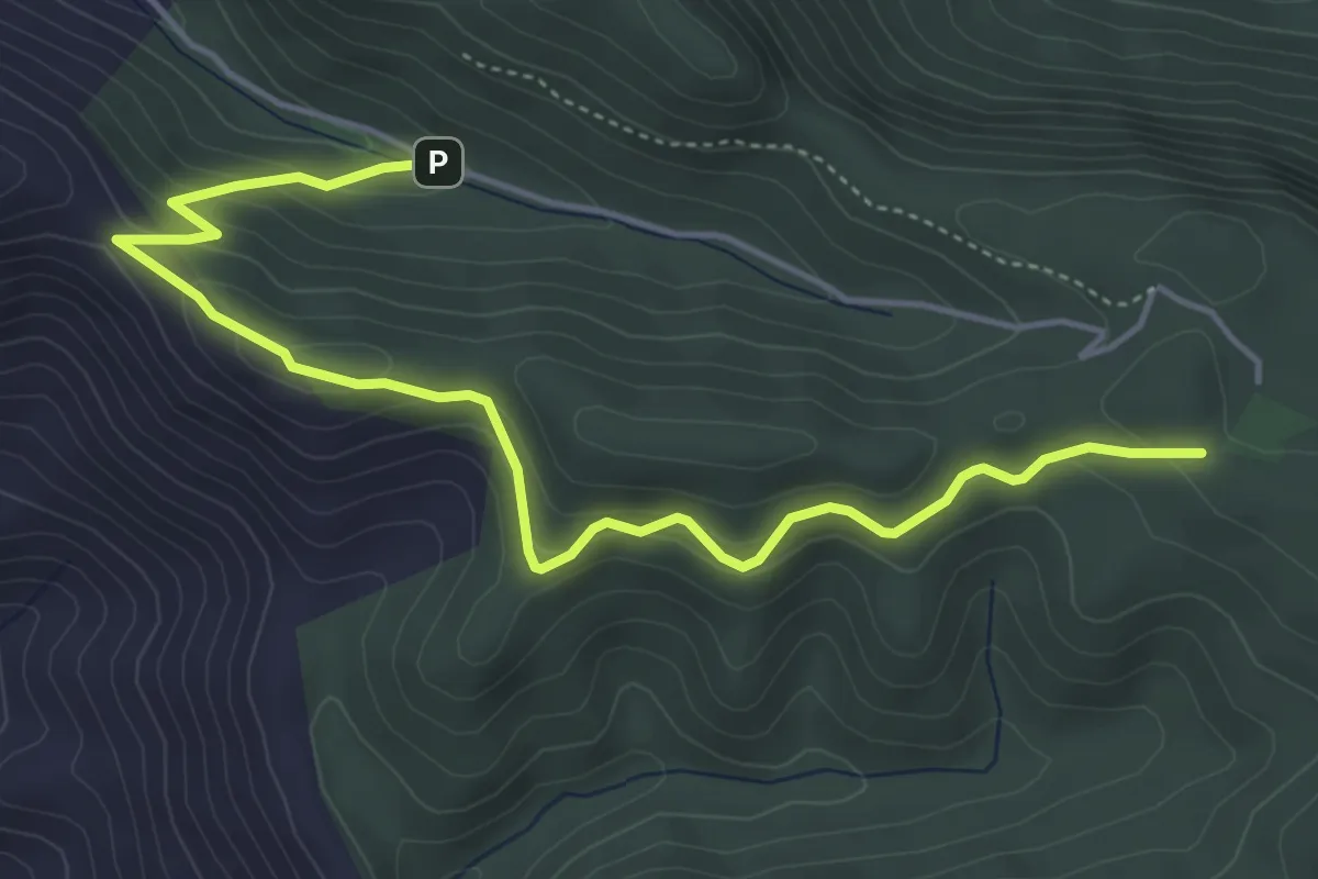
Easy · Trail
Case Marganai – Mamenga
6.1 km · ↑ 297 m · 2 h 5 min · 6 km away
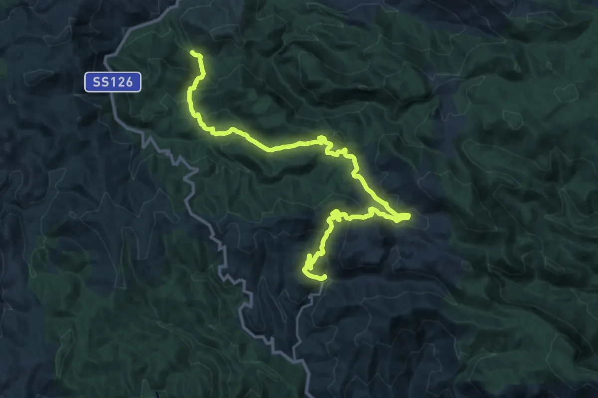
Medium · Trail
CMSB 13
14.2 km · ↑ 466 m · 4 h 40 min · 6 km away
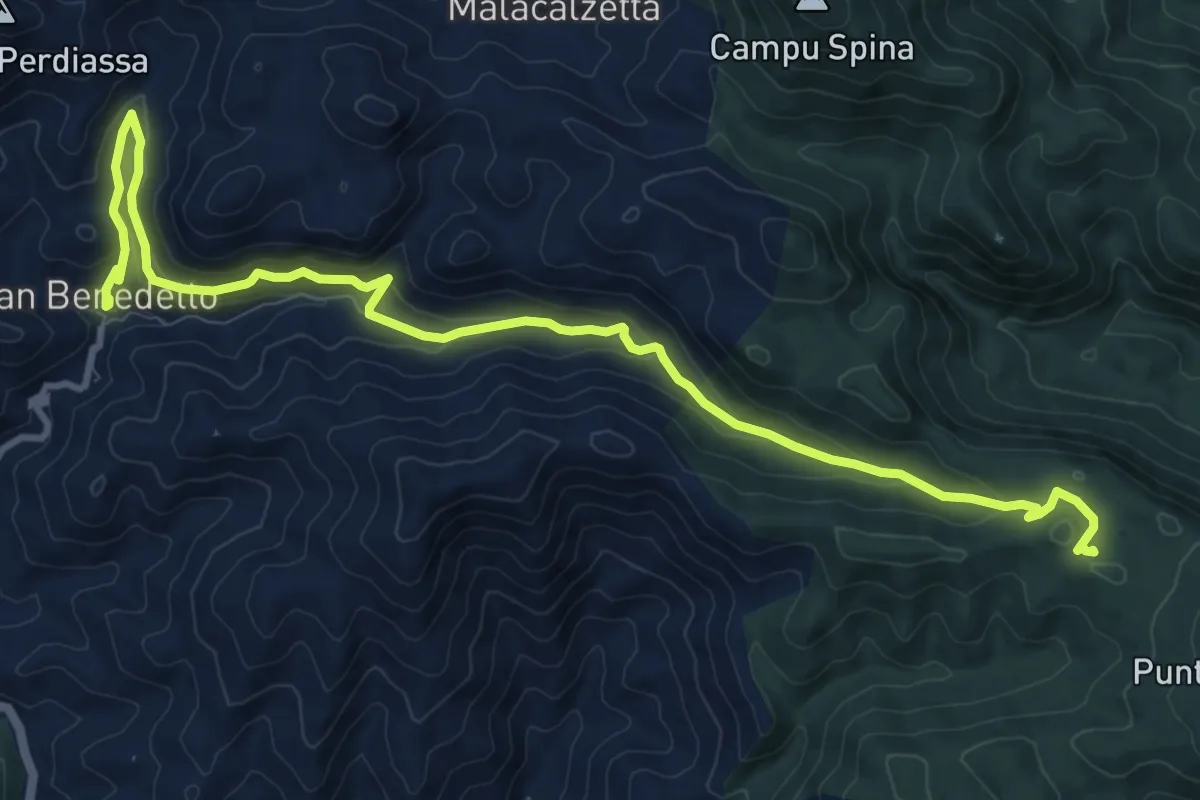
Medium · Trail
CMSB 14
14.9 km · ↑ 640 m · 4 h 55 min · 6 km away
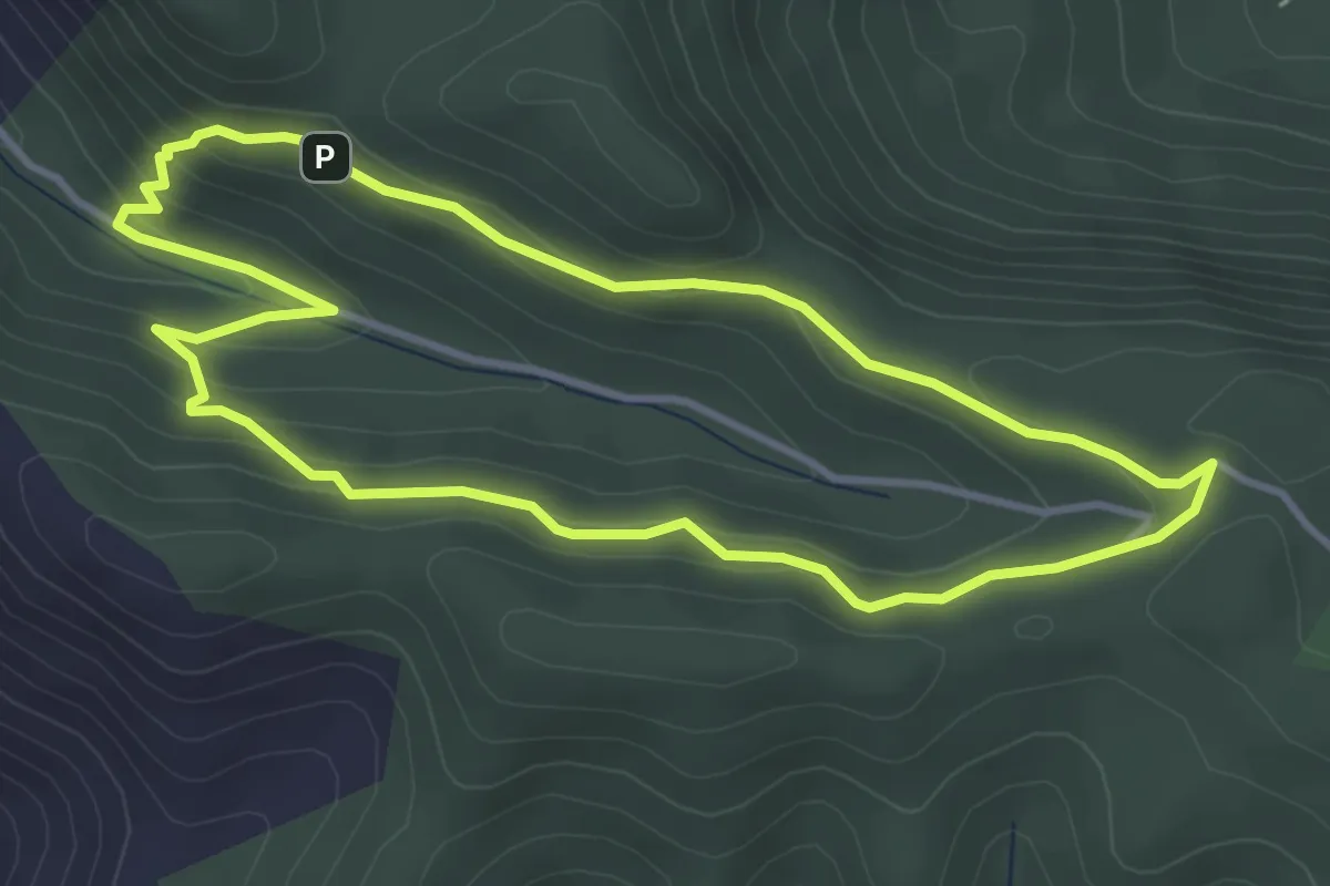
Easy · Summit
Anello "Case Marganai"
4.1 km · ↑ 199 m · 1 h 28 min · 6 km away
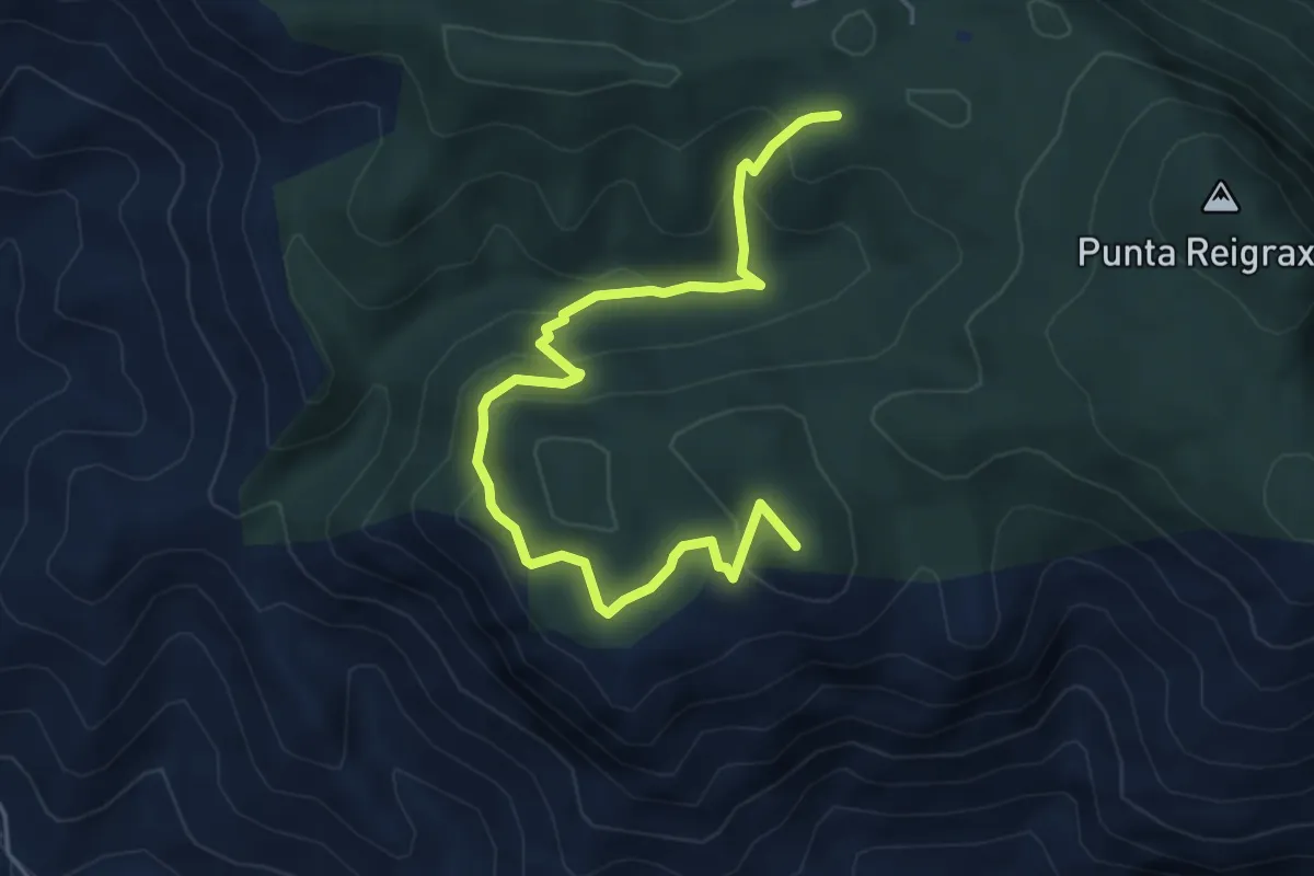
Medium · Summit
Bivio 324 – Case Marganai
6.5 km · ↑ 355 m · 2 h 18 min · 6 km away
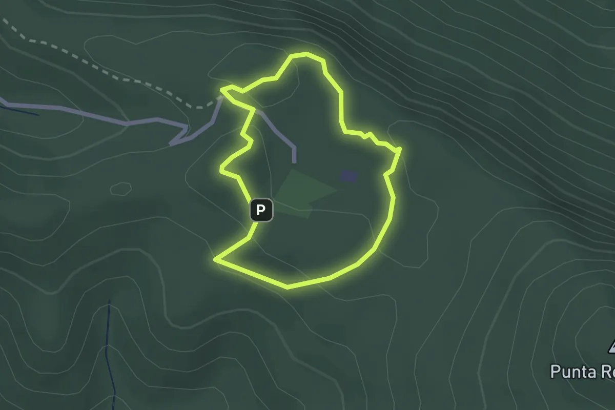
Easy · Summit
Case Marganai – Carbonaia didattica
2.0 km · ↑ 81 m · 40 min · 6 km away
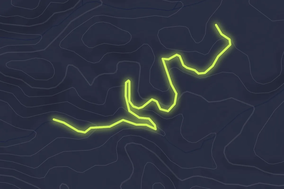
Easy · Trail
Laveria Seddas Moddizzis – 512
4.9 km · ↑ 153 m · 1 h 29 min · 6 km away
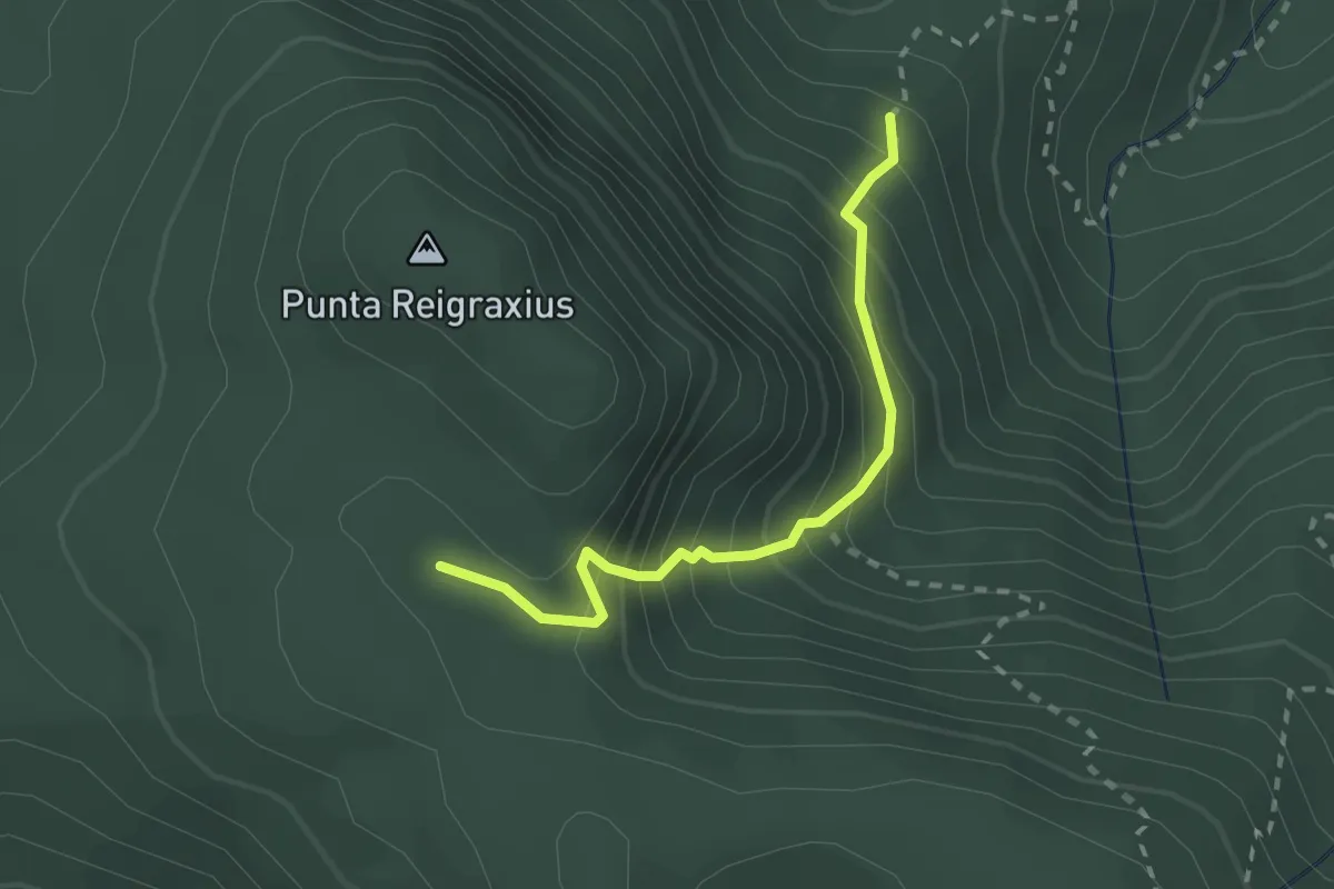
Medium · Trail
Sca Martini – Ollastus
2.4 km · ↑ 324 m · 1 h 16 min · 6 km away
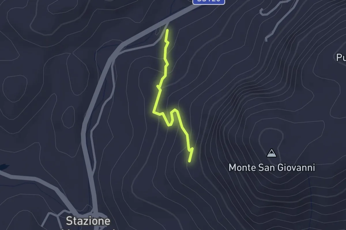
Easy · Trail
Ortu Coccu – Stazione Ripetitori
2.0 km · ↑ 135 m · 46 min · 6 km away
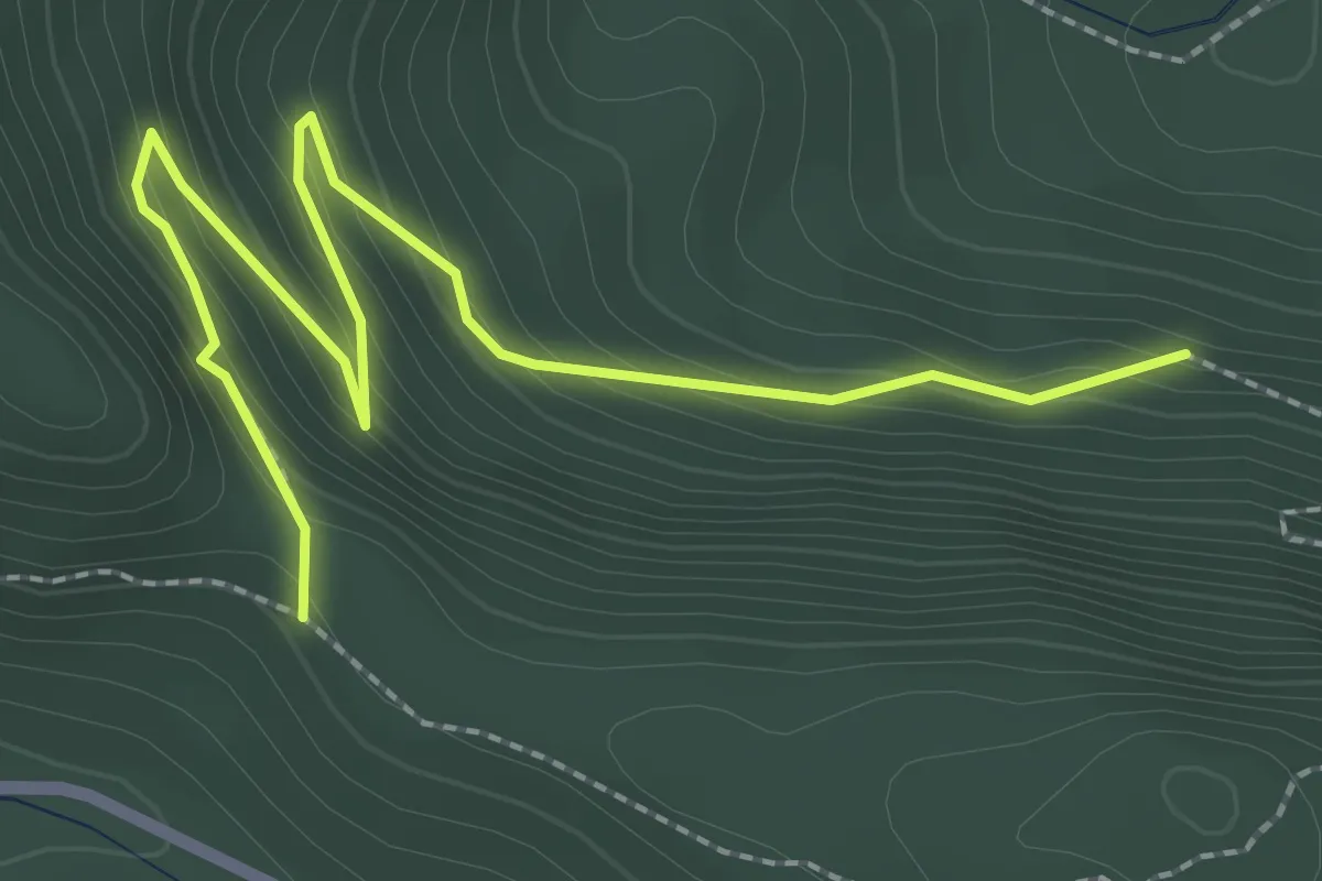
Easy · Trail
Bivio Percorso 324 – Genna Ollioni
3.4 km · ↑ 264 m · 1 h 22 min · 6 km away
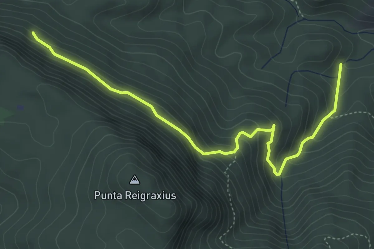
Medium · Trail
Is Acacias – Antiogu 'e Pau
5.8 km · ↑ 397 m · 2 h 13 min · 7 km away
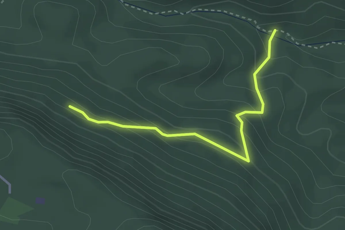
Easy · Trail
Is Acacias – Guitturu Farris
3.1 km · ↑ 240 m · 1 h 15 min · 7 km away
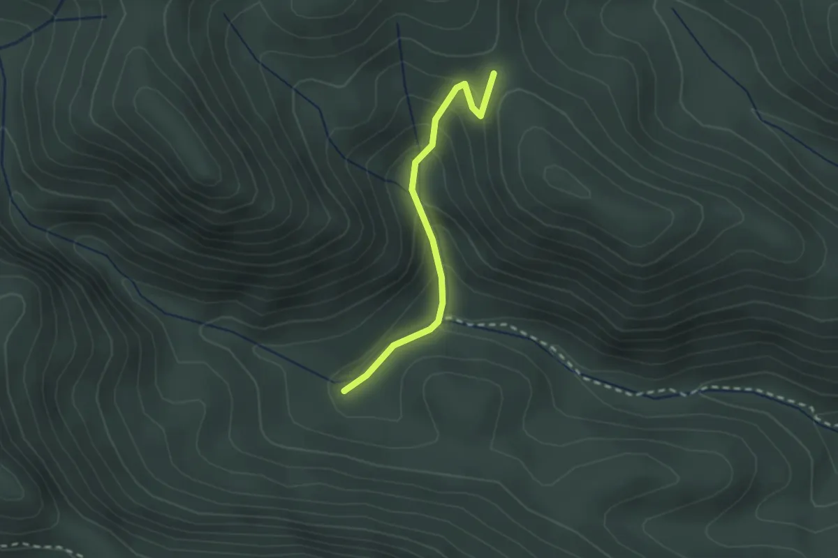
Easy · Trail
Cea Manna – Arcu Montinoi
2.3 km · ↑ 141 m · 51 min · 8 km away
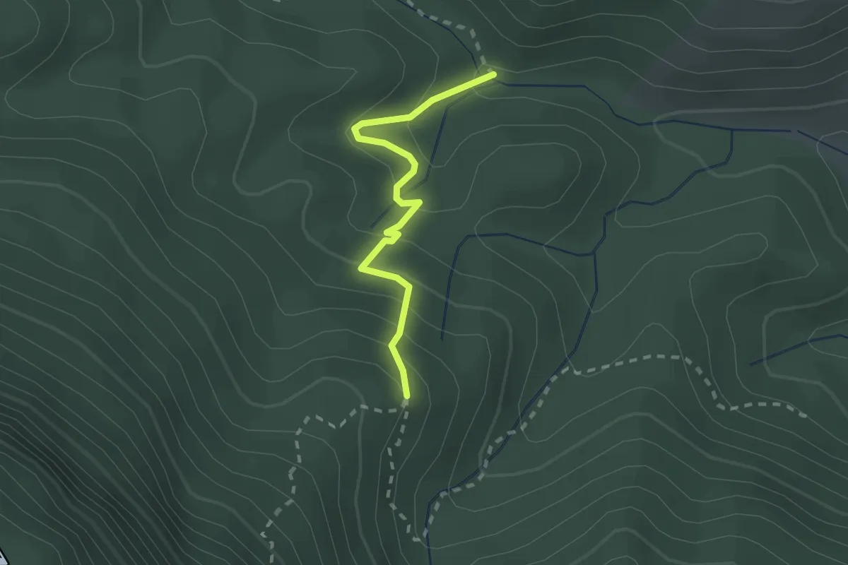
Easy · Trail
Gutturu Farris – Bivio Percorso 326
2.2 km · ↑ 156 m · 52 min · 8 km away
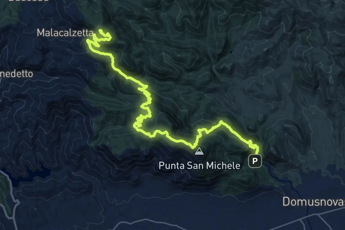
Demanding · Summit
Chiesa di San Giovanni – Tinnì
31.8 km · ↑ 2018 m · 11 h 52 min · 8 km away
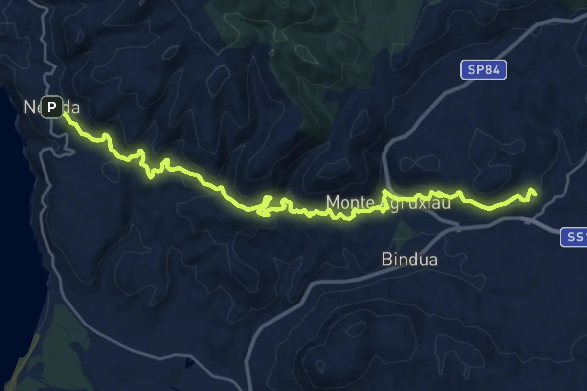
Demanding · Trail
Monteponi (Iglesias) – Nebida
19.9 km · ↑ 1008 m · 6 h 52 min · 8 km away
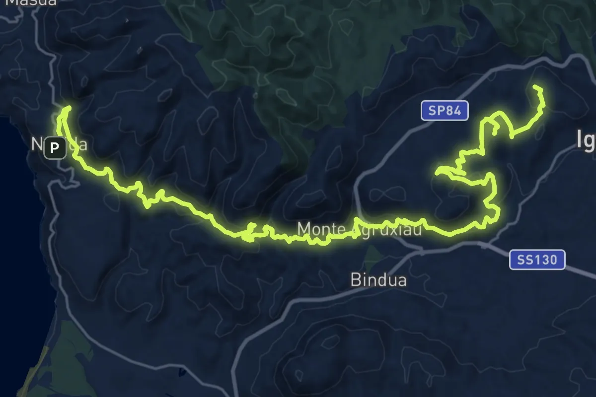
Demanding · Summit
CMSB 01 var
35.1 km · ↑ 1553 m · 11 h 40 min · 8 km away
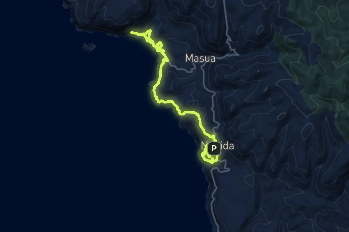
Demanding · Trail
CMSB 02
17.3 km · ↑ 801 m · 5 h 50 min · 8 km away
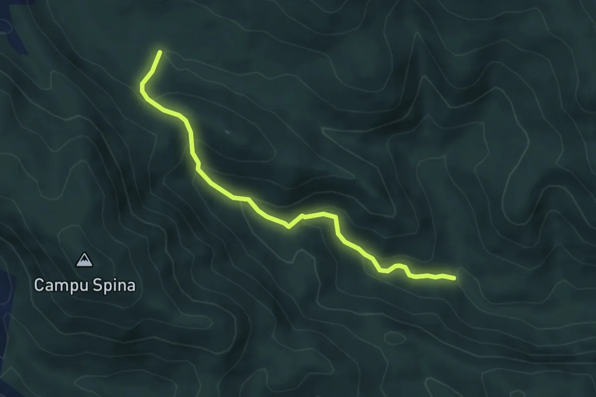
Medium · Trail
Borgo Sa Duchessa – Riu Tinnì
5.5 km · ↑ 337 m · 2 h 2 min · 8 km away
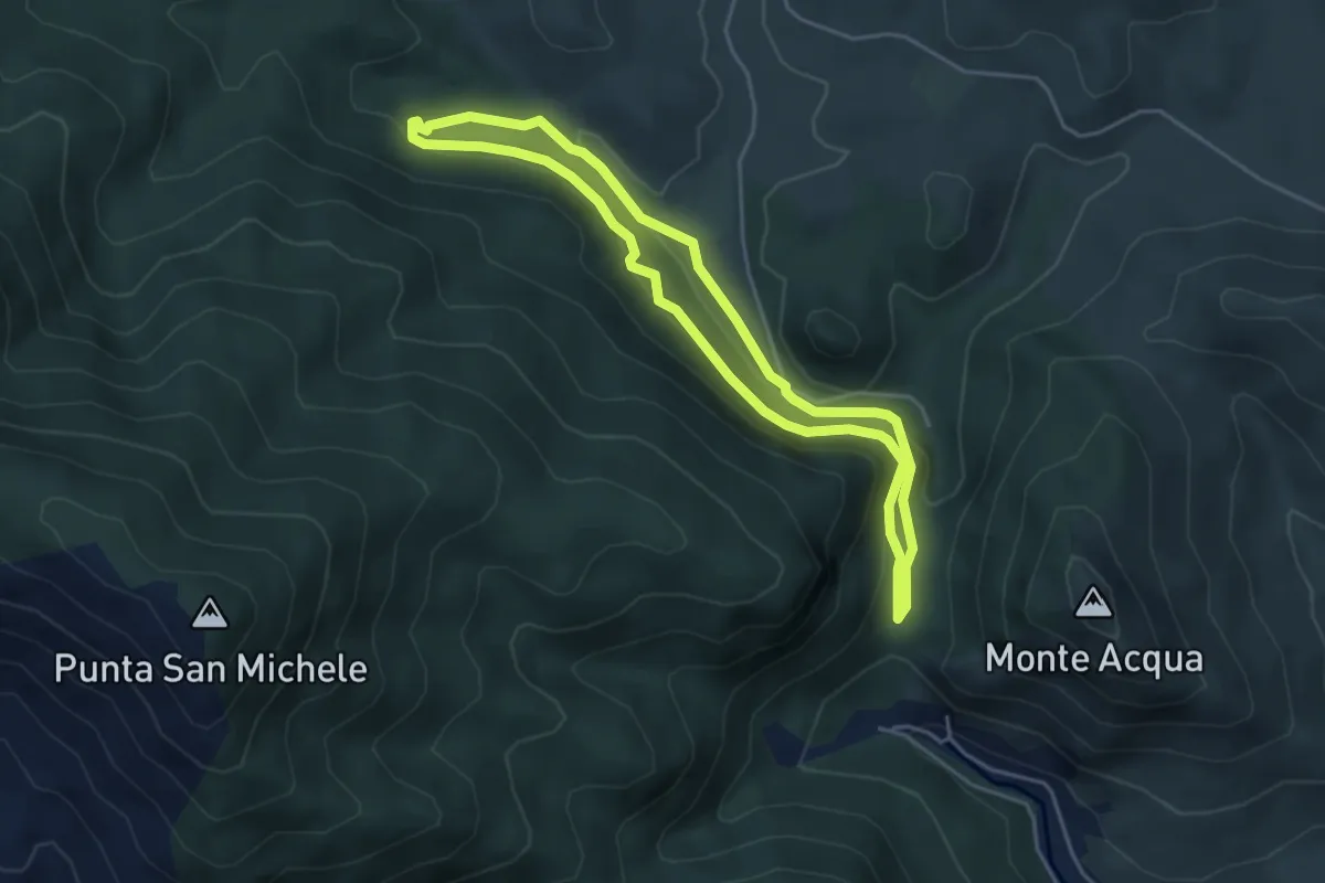
Easy · Trail
Sa Ia 'e Su Vagoni – Sa Ia 'e Su Vagoni
4.6 km · ↑ 154 m · 1 h 29 min · 9 km away
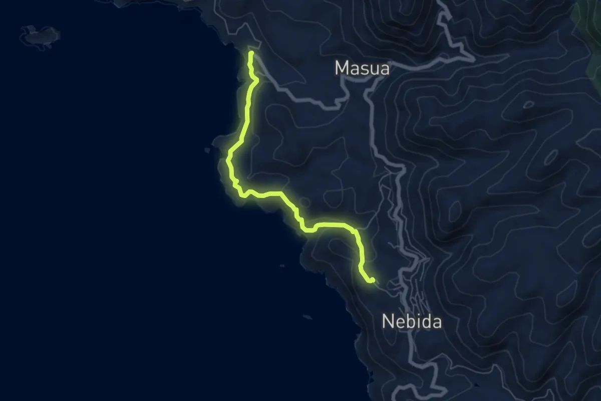
Easy · Trail
Sentiero dei Cinque Faraglioni
6.3 km · ↑ 304 m · 2 h 9 min · 9 km away
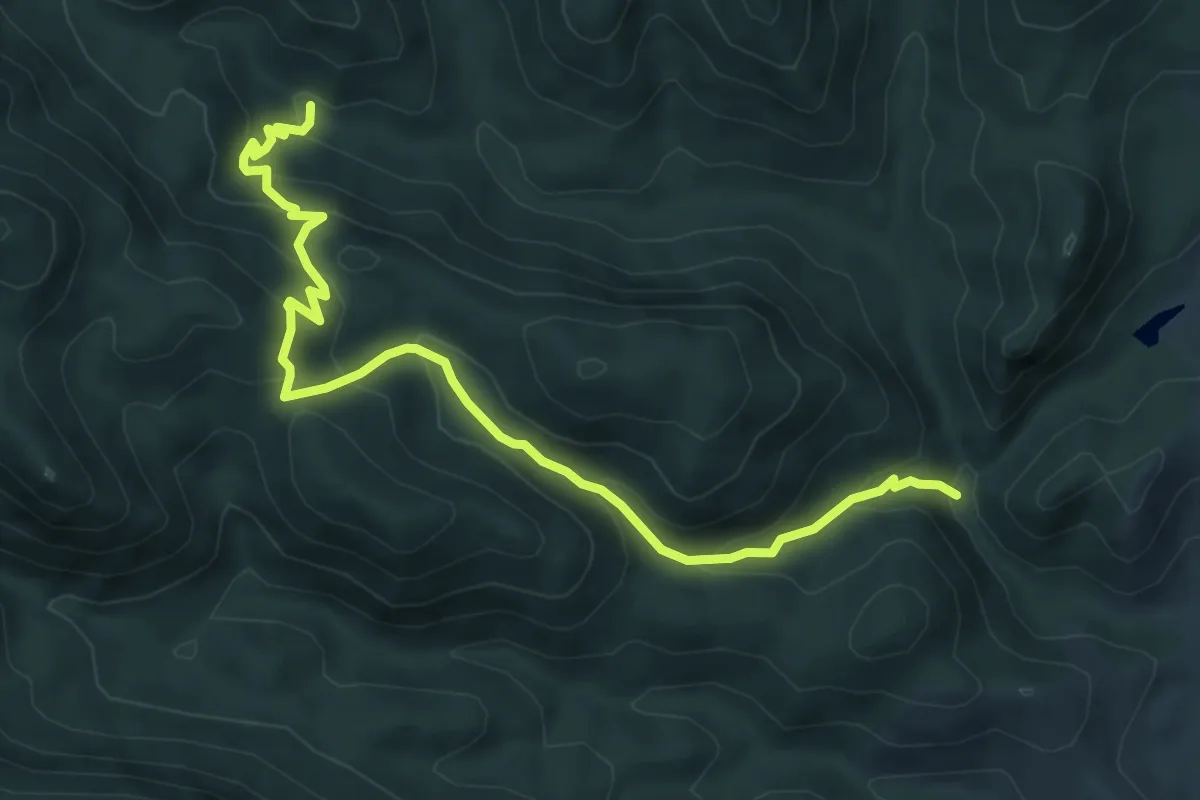
Medium · Trail
Barraxiutta – Maremma
8.5 km · ↑ 539 m · 3 h 10 min · 9 km away
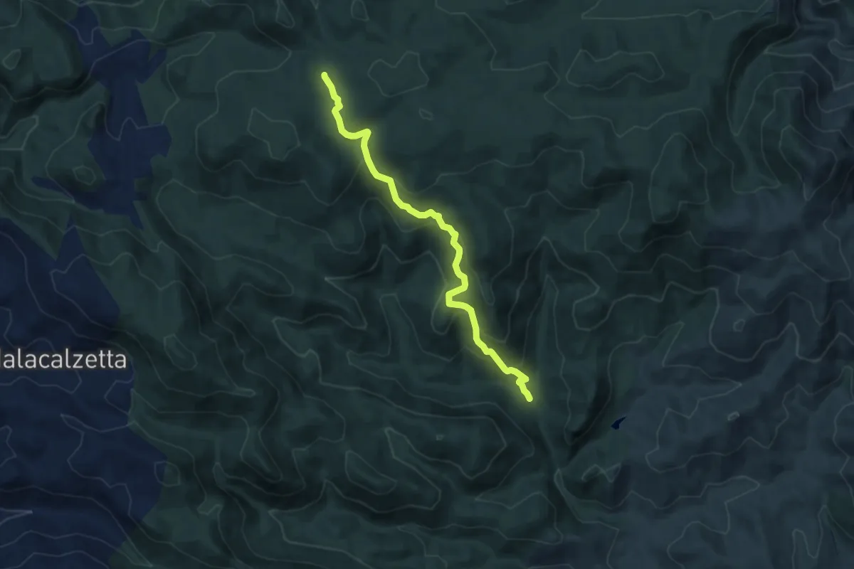
Medium · Trail
Gutturu Melsi – Si Barracconi
9.4 km · ↑ 501 m · 3 h 19 min · 9 km away
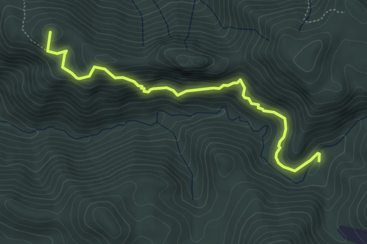
Medium · Summit
Miniera Arenas – Tramogge Pubusinu
5.9 km · ↑ 441 m · 2 h 21 min · 9 km away
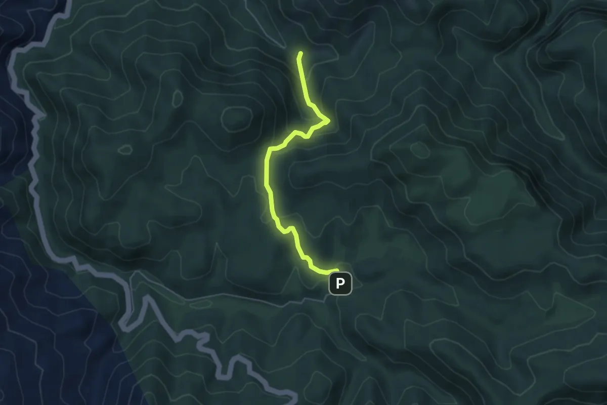
Easy · Trail
Tempio di Antas – grotta Su Mannau
5.1 km · ↑ 281 m · 1 h 48 min · 9 km away
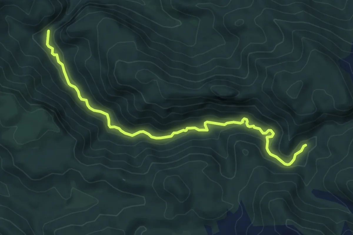
Medium · Trail
Roia is Codis (Gutturu Pala) – Area Picnic Pilocca
9.2 km · ↑ 374 m · 2 h 59 min · 9 km away
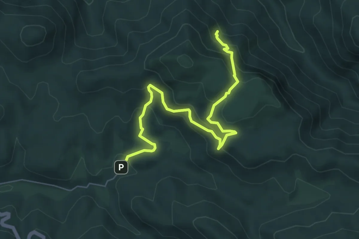
Medium · Trail
Tempio di Antas – Sa Corona Arrubia
7.4 km · ↑ 521 m · 2 h 52 min · 9 km away
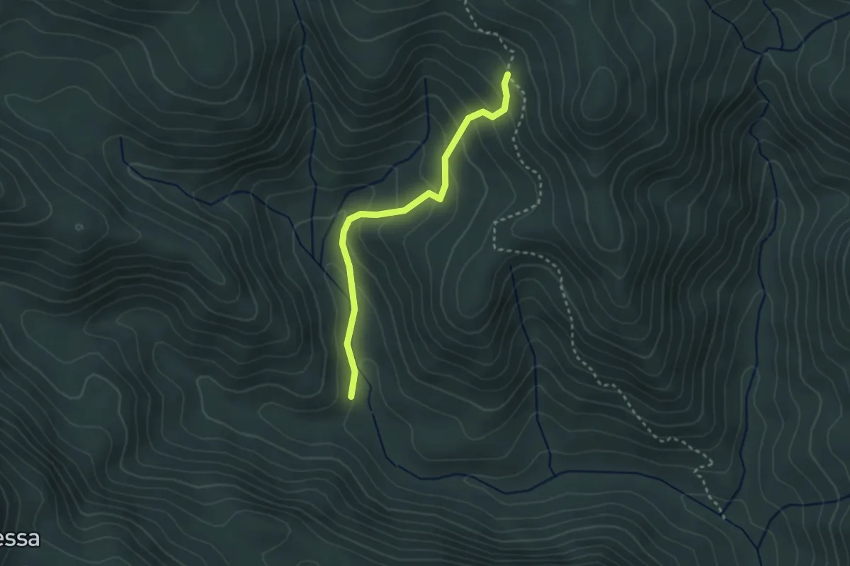
Easy · Trail
Sa Duchessa – Su Cabriolu
3.0 km · ↑ 207 m · 1 h 10 min · 10 km away
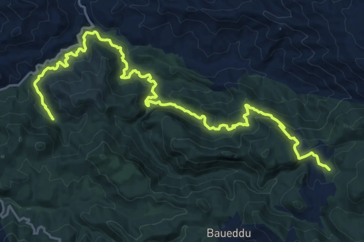
Medium · Trail
CMSB 12
13.3 km · ↑ 573 m · 4 h 46 min · 10 km away
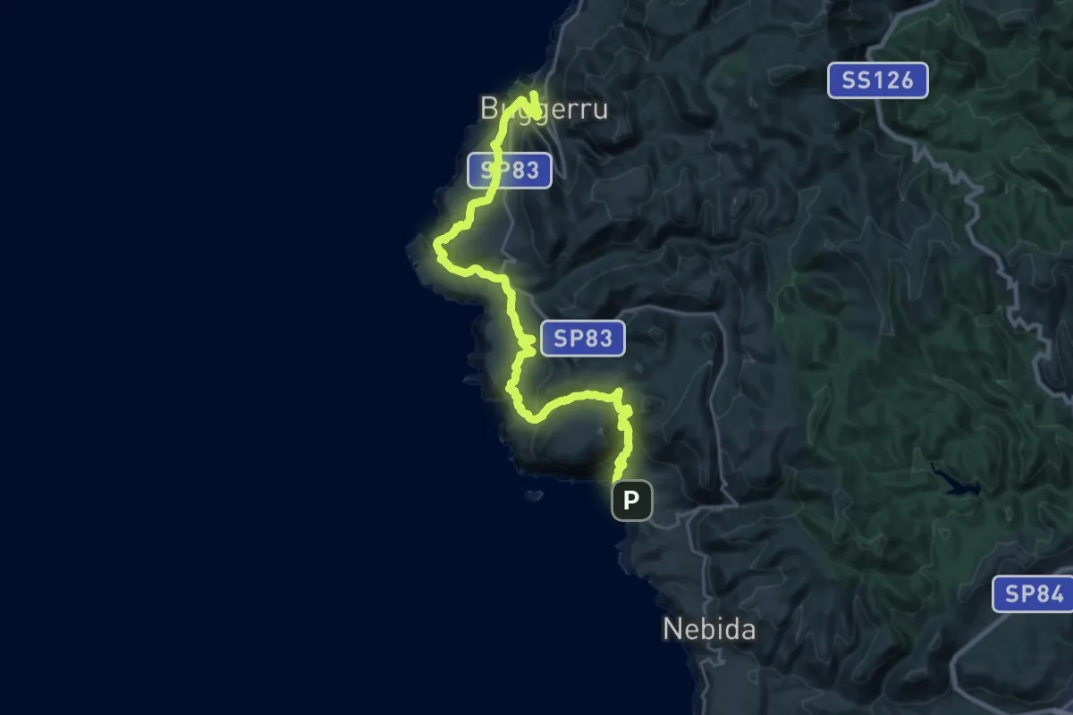
Medium · Trail
CMSB 03 var
15.4 km · ↑ 593 m · 5 h 8 min · 10 km away
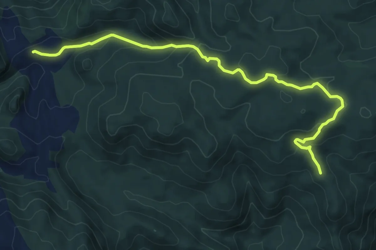
Medium · Trail
Perda Niedda – Miniera Arenas
11.4 km · ↑ 408 m · 3 h 35 min · 10 km away
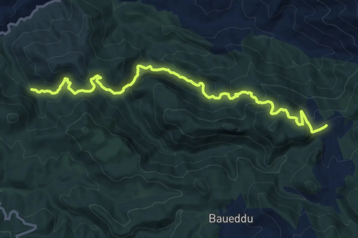
Demanding · Trail
Su Mannau – Miniera Arenas
17.5 km · ↑ 1099 m · 6 h 30 min · 10 km away
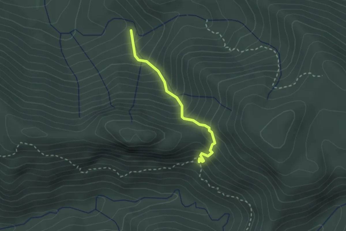
Easy · Trail
Arcu Sa Nebada – Genn’e Carru
2.2 km · ↑ 316 m · 1 h 12 min · 10 km away
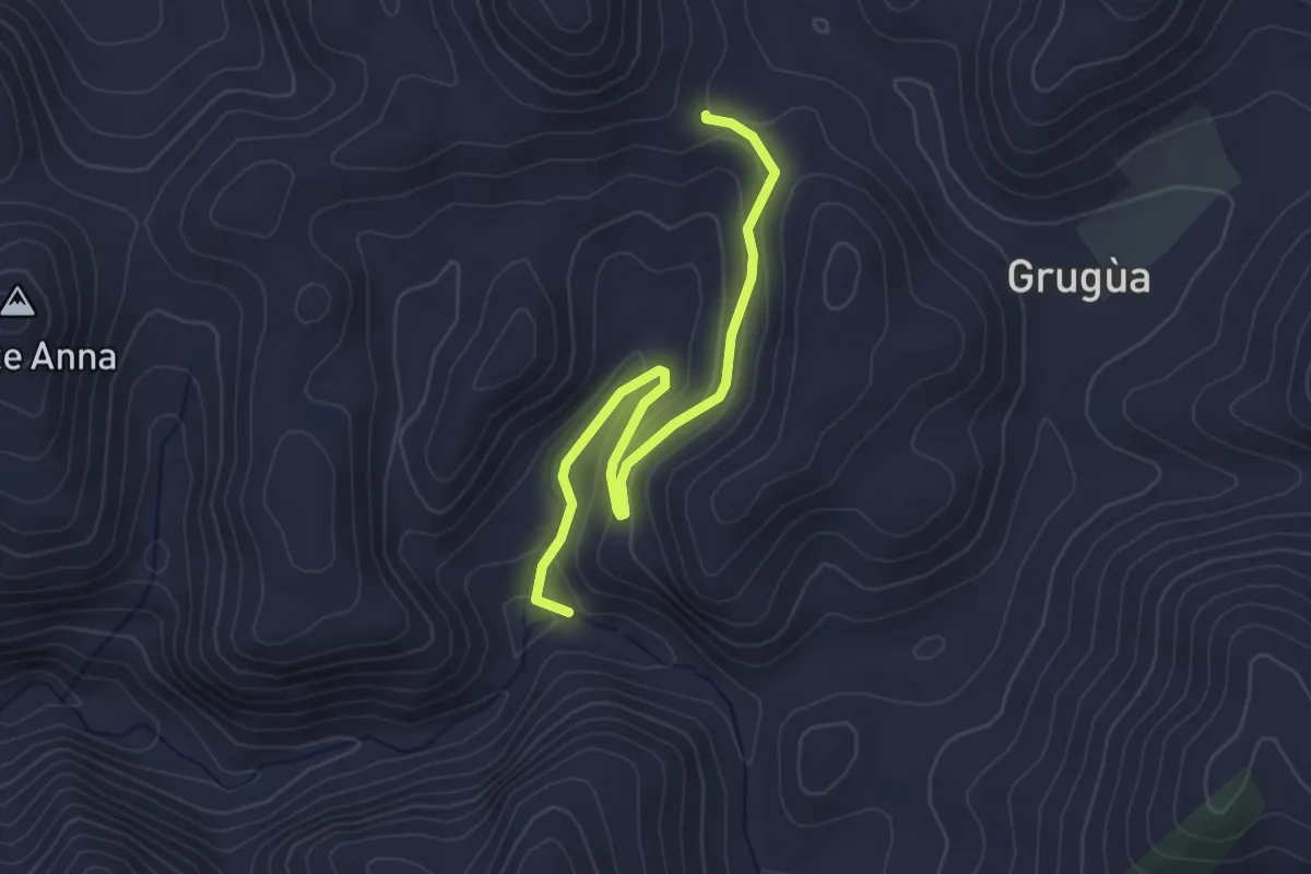
Easy · Trail
Bivio Pranu Dentis - Sentiero 302 – Bivio Miniera San Luigi
3.9 km · ↑ 150 m · 1 h 14 min · 10 km away
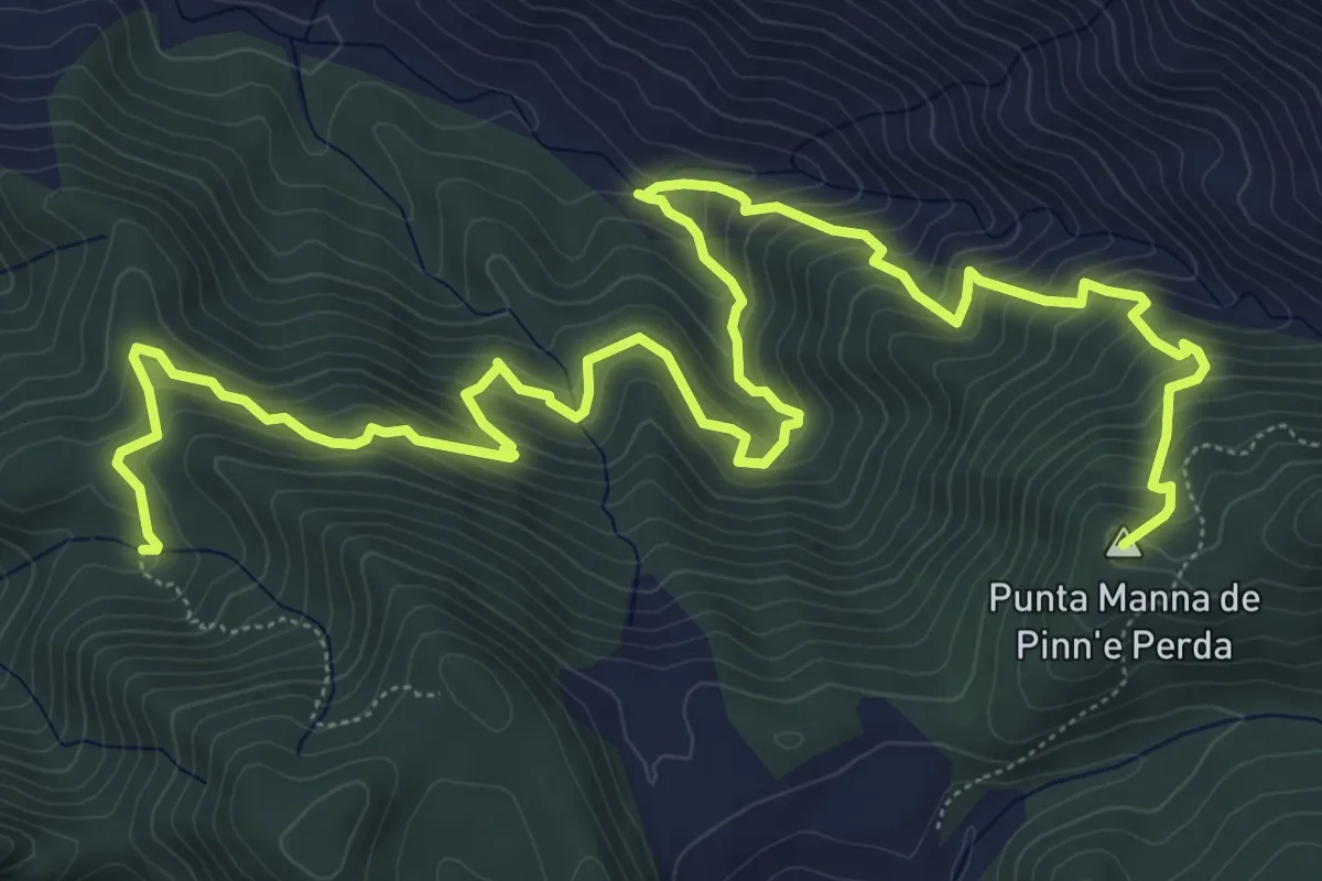
Demanding · Summit
Miniera di Monti Serrau – Perdu Marras
11.6 km · ↑ 968 m · 4 h 50 min · 11 km away
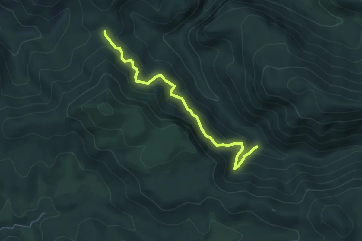
Medium · Trail
Terranieddas – Rio Maccioni
5.3 km · ↑ 604 m · 2 h 34 min · 11 km away
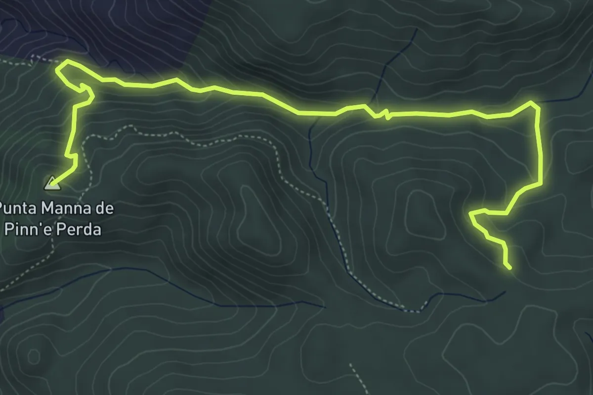
Medium · Summit
Miniera Nebidedda – Punta Manna de Pinn'e Perda
8.2 km · ↑ 479 m · 2 h 59 min · 11 km away
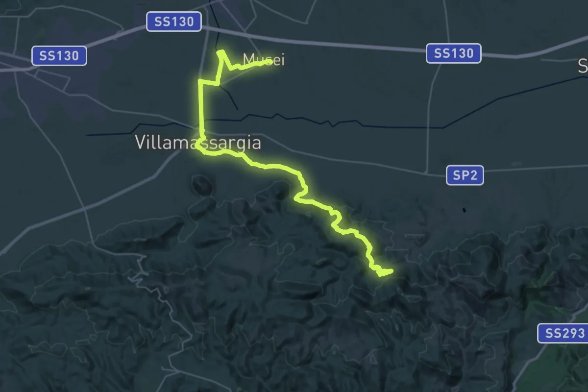
Demanding · Trail
CMSB 16
18.5 km · ↑ 416 m · 5 h 25 min · 12 km away
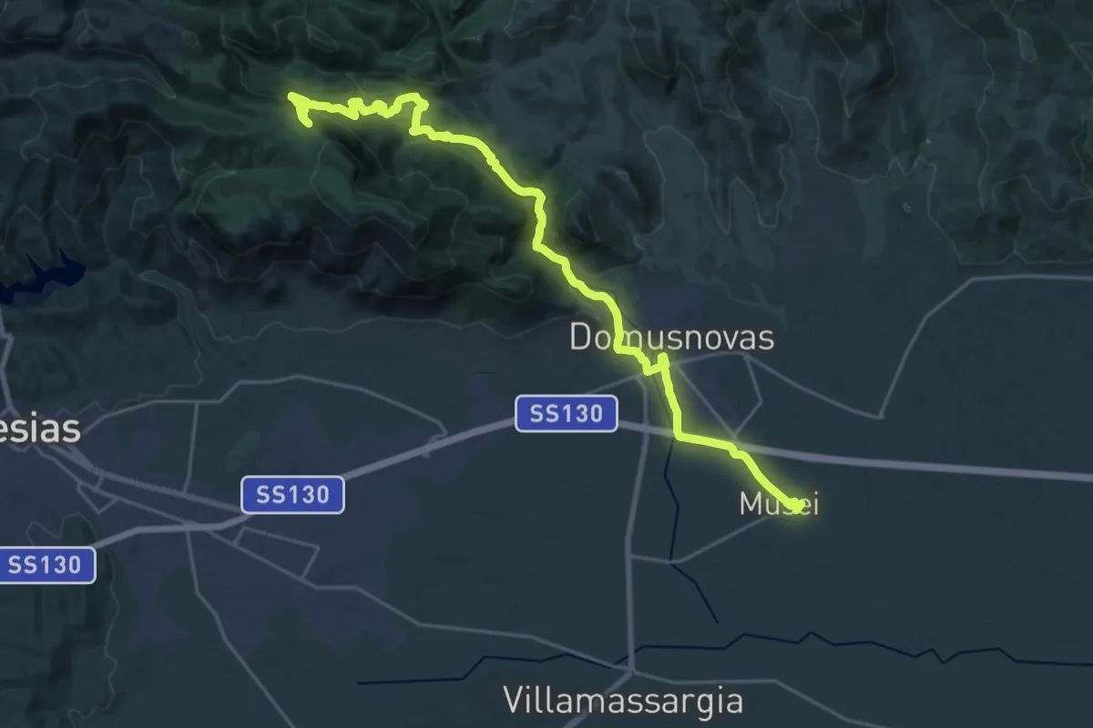
Demanding · Summit
CMSB 15 var
28.8 km · ↑ 1000 m · 8 h 58 min · 12 km away
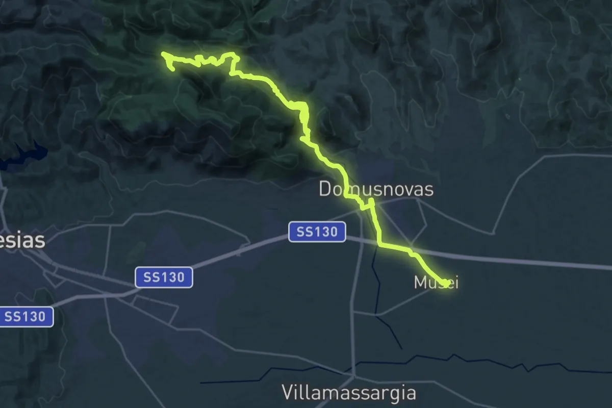
Demanding · Summit
CMSB 15
32.6 km · ↑ 1194 m · 10 h 17 min · 12 km away