Trails near Imola
31 hikes starting within 15 km, nearest first.
Nearest first
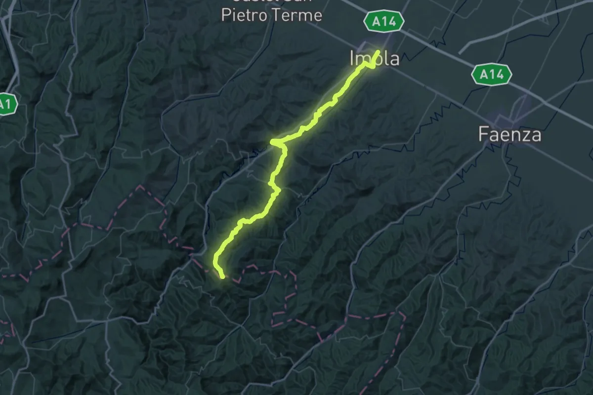
Demanding · Summit
Imola – Passo Ronchi di Berna
74.9 km · ↑ 1608 m · 21 h 11 min · 1 km away
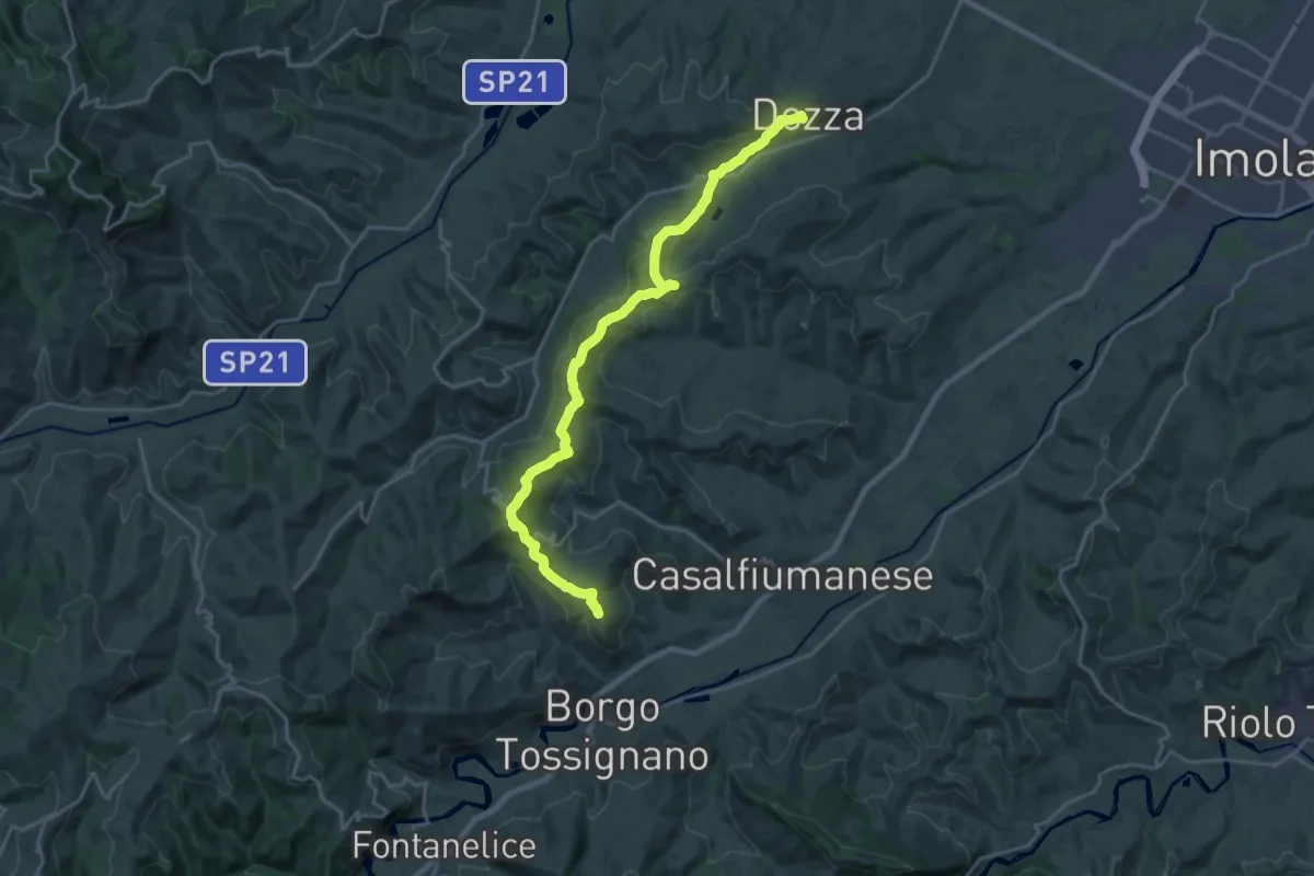
Medium · Summit
Il Cammino di Sant'Antonio: Tappa 11D
11.5 km · ↑ 467 m · 3 h 50 min · 7 km away
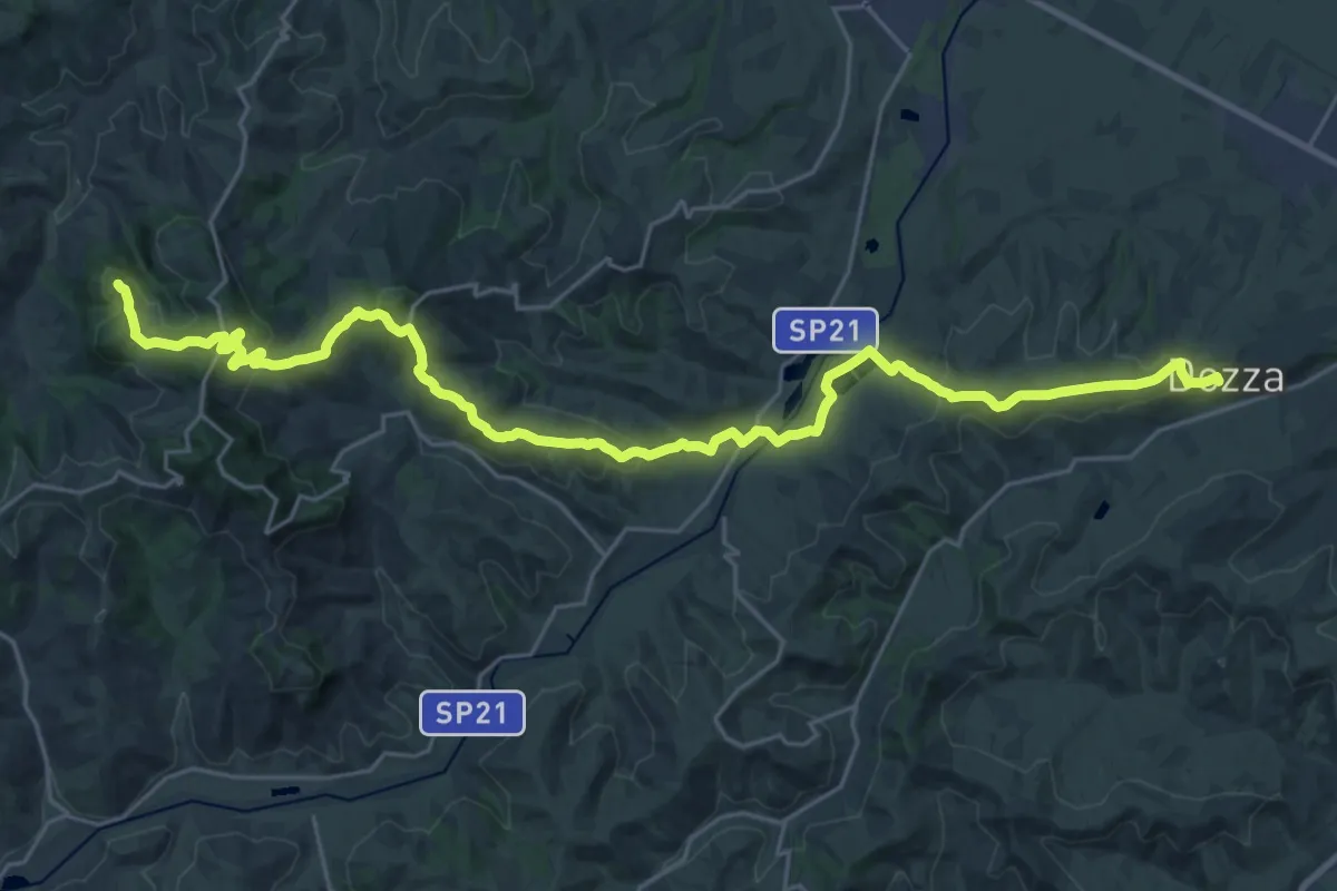
Medium · Summit
Il Cammino di Sant'Antonio: Tappa 10D
16.6 km · ↑ 624 m · 5 h 23 min · 7 km away
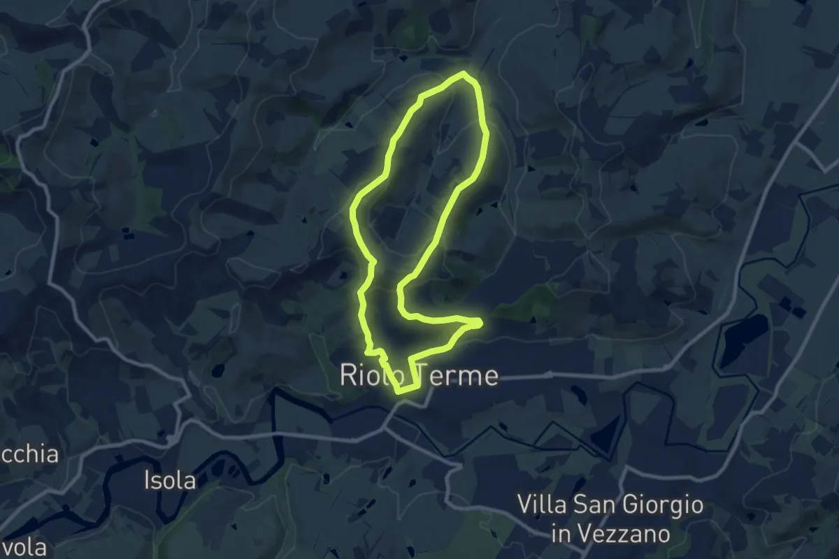
Medium · Trail
Petalo di Mazzolano
8.6 km · ↑ 284 m · 2 h 46 min · 9 km away
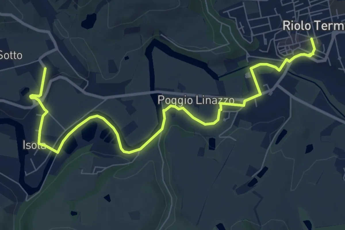
Easy · Trail
Petalo di Gallisterna
4.5 km · ↑ 50 m · 1 h 14 min · 9 km away
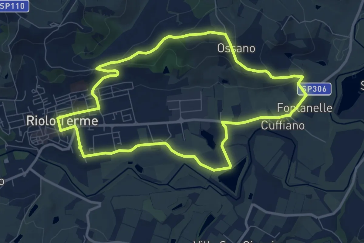
Easy · Summit
Petalo di Monte Ghebbio
7.9 km · ↑ 180 m · 2 h 22 min · 9 km away
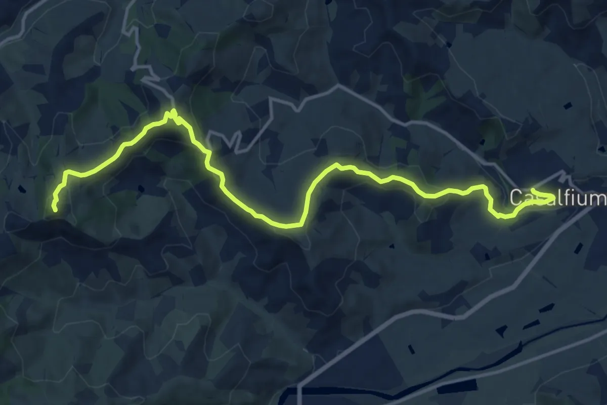
Demanding · Summit
Sentiero Luca Ghini
14.7 km · ↑ 560 m · 4 h 41 min · 10 km away
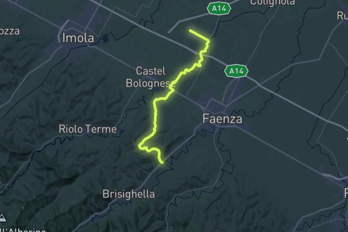
Demanding · Trail
Viae Misericordiae: Tappa 5
20.7 km · ↑ 236 m · 5 h 40 min · 10 km away
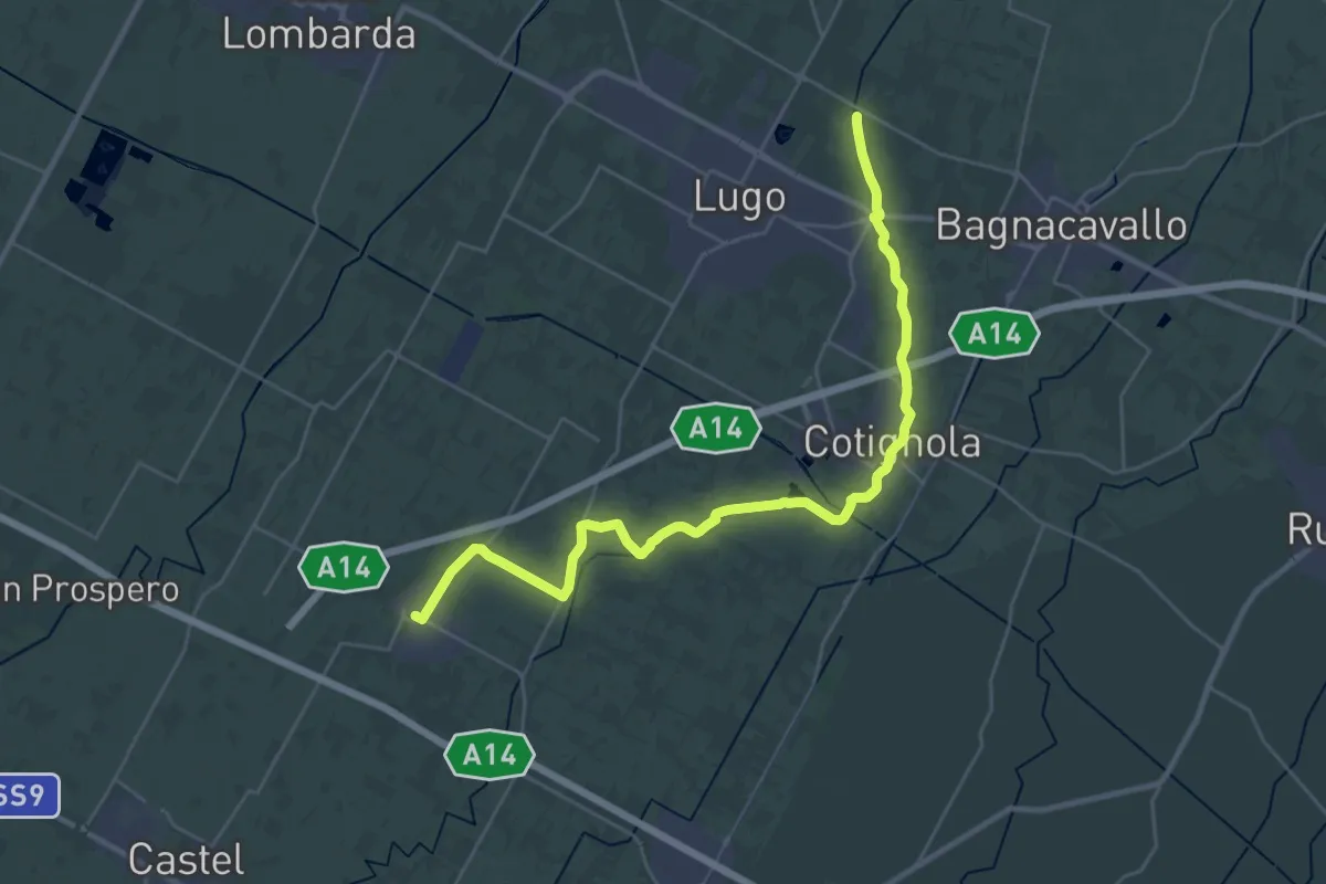
Demanding · Trail
Viae Misericordiae: Tappa 4
33.4 km · ↑ 17 m · 7 h 56 min · 10 km away
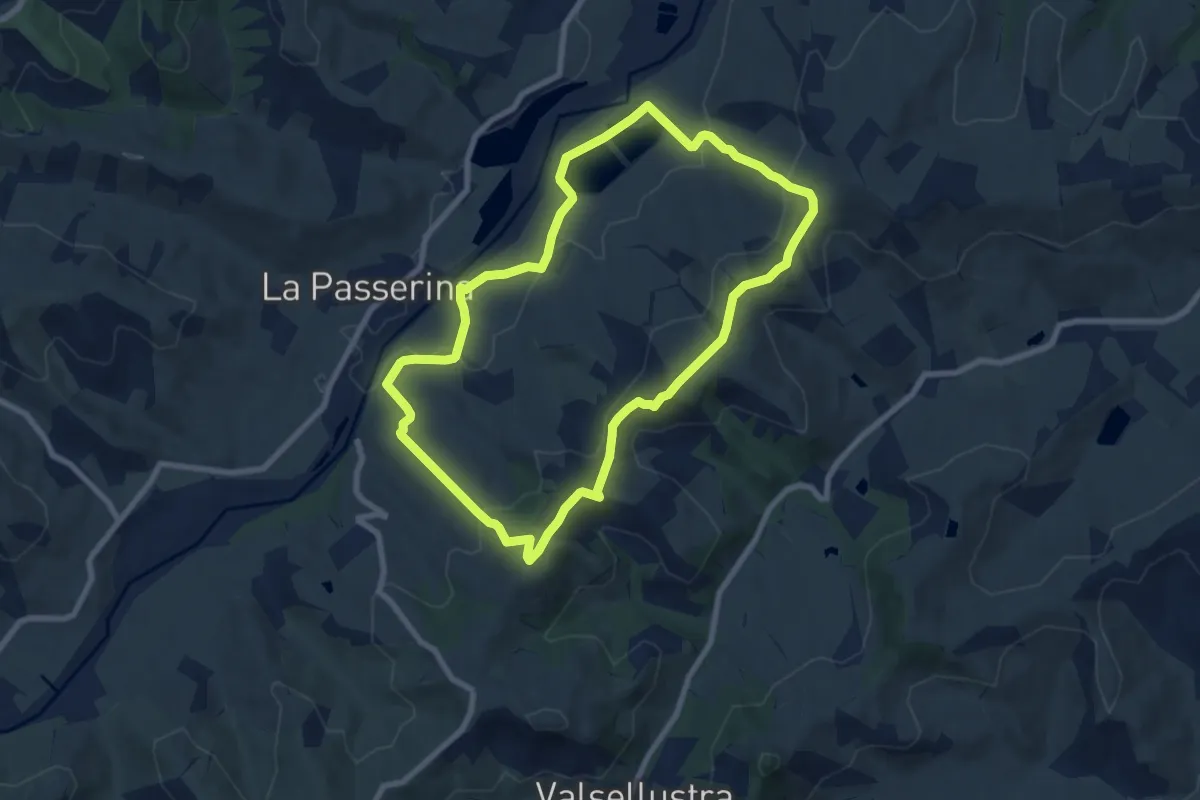
Easy · Summit
Anello di Fiagnano
7.9 km · ↑ 281 m · 2 h 36 min · 11 km away
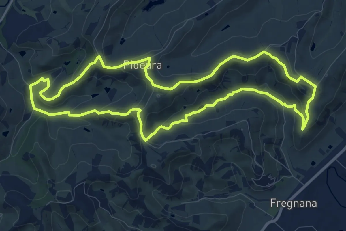
Medium · Trail
Percorso Floresco
11.1 km · ↑ 336 m · 3 h 29 min · 11 km away
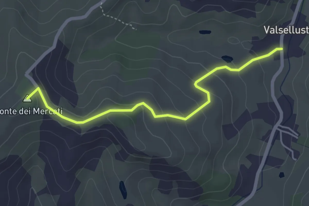
Easy · Summit
Valsellustra – 719 anello di Fiagnano
4.2 km · ↑ 178 m · 1 h 23 min · 11 km away
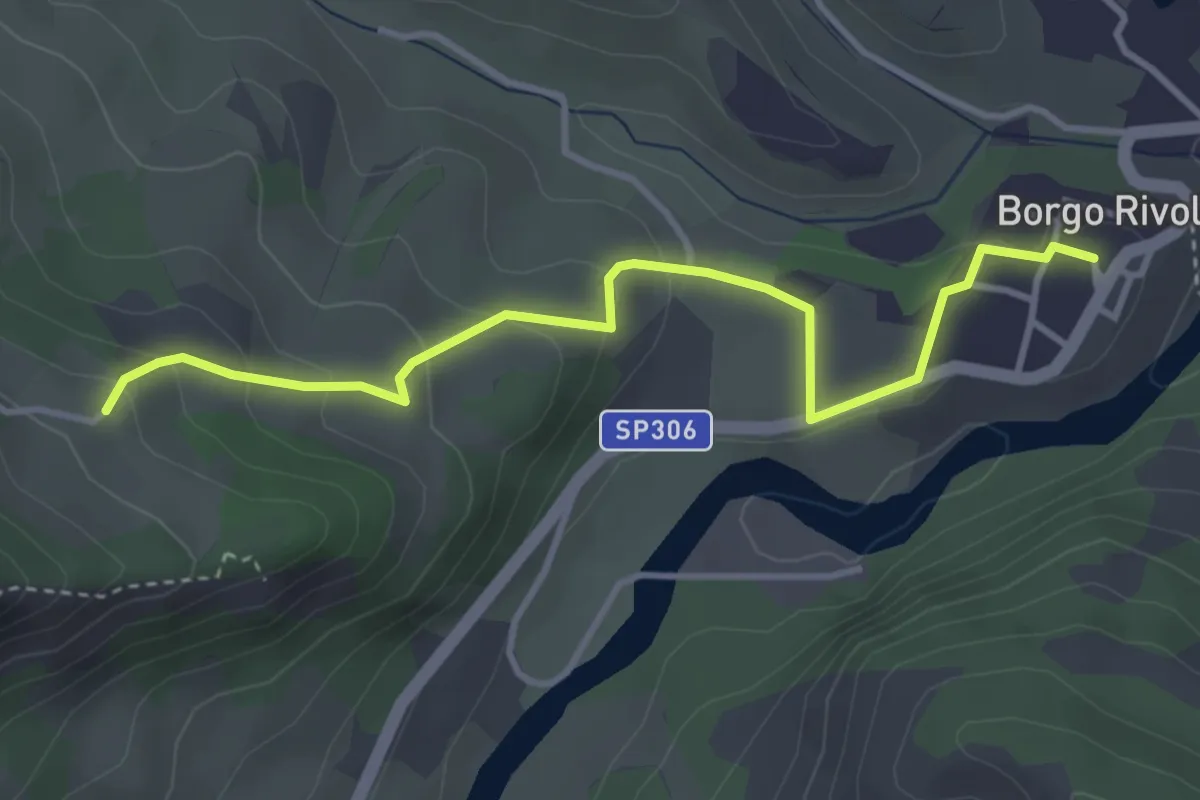
Easy · Trail
Sentiero CAI 705 – Borgo Rivola
4.0 km · ↑ 167 m · 1 h 18 min · 12 km away
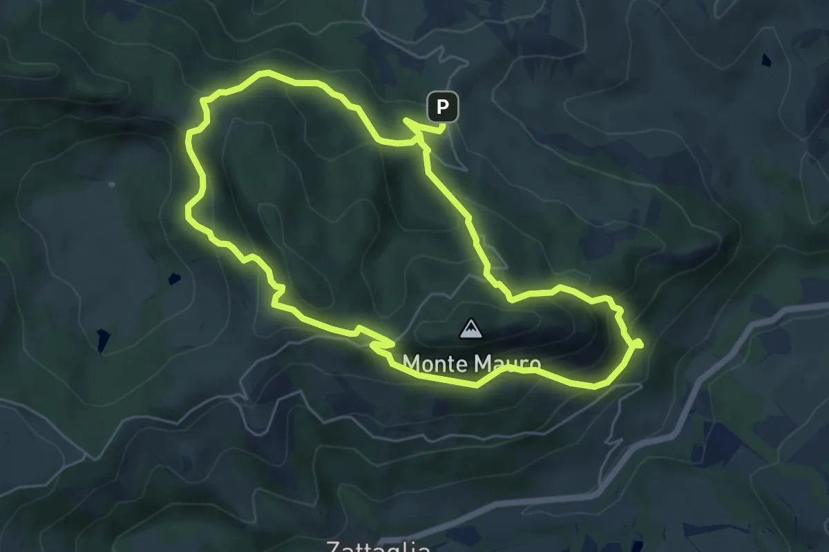
Medium · Summit
Sentiero dei Cristalli
5.9 km · ↑ 415 m · 2 h 22 min · 12 km away
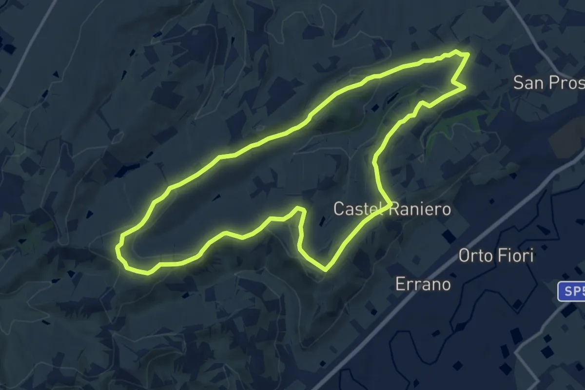
Medium · Trail
Percorso Albana
11.2 km · ↑ 217 m · 3 h 17 min · 12 km away
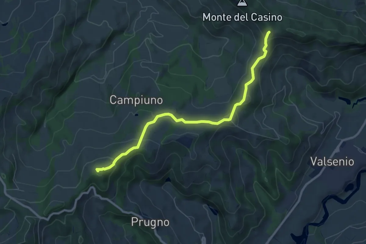
Easy · Summit
Ca' Budrio – Passo del Prugno
7.5 km · ↑ 287 m · 2 h 24 min · 12 km away
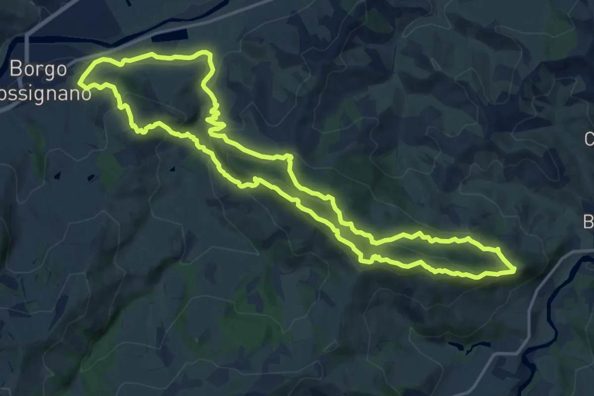
Demanding · Summit
Borgo Tossignano – Borgo Tossignano
13.7 km · ↑ 722 m · 4 h 59 min · 12 km away
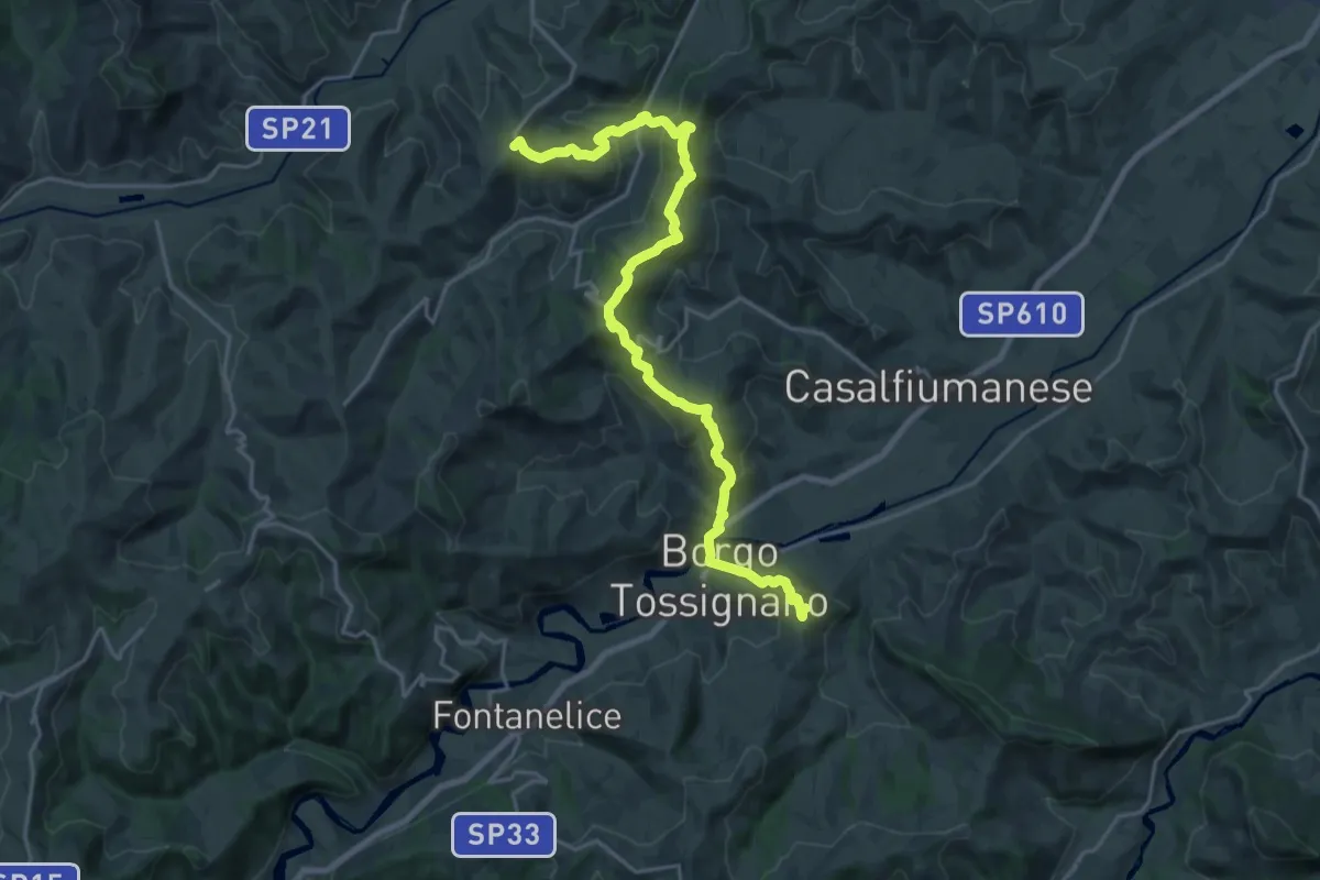
Medium · Summit
Il Cammino di Sant'Antonio: Tappa 11
11.9 km · ↑ 589 m · 4 h 13 min · 13 km away
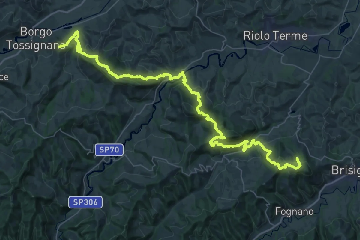
Demanding · Cabin
Il Cammino di Sant'Antonio: Tappa 12
21.4 km · ↑ 1111 m · 7 h 42 min · 13 km away
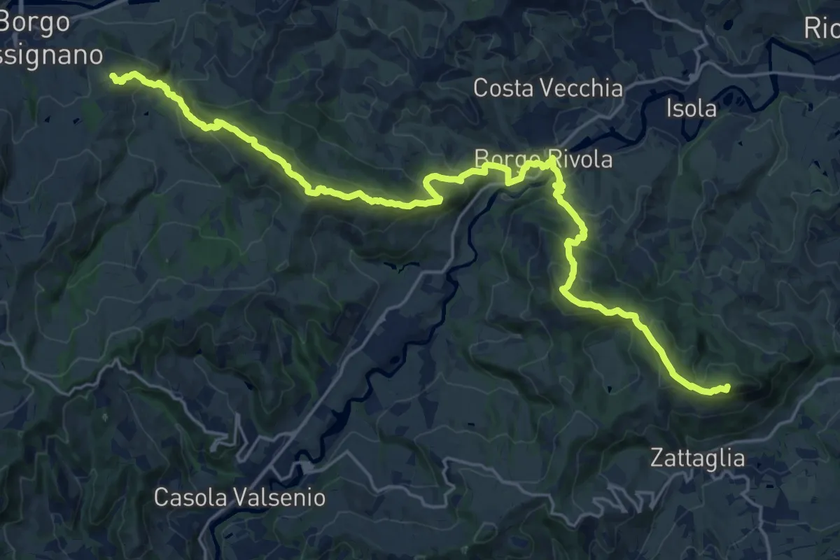
Demanding · Summit
Alta Via dei Parchi: Tappa 16
26.1 km · ↑ 1615 m · 9 h 39 min · 13 km away
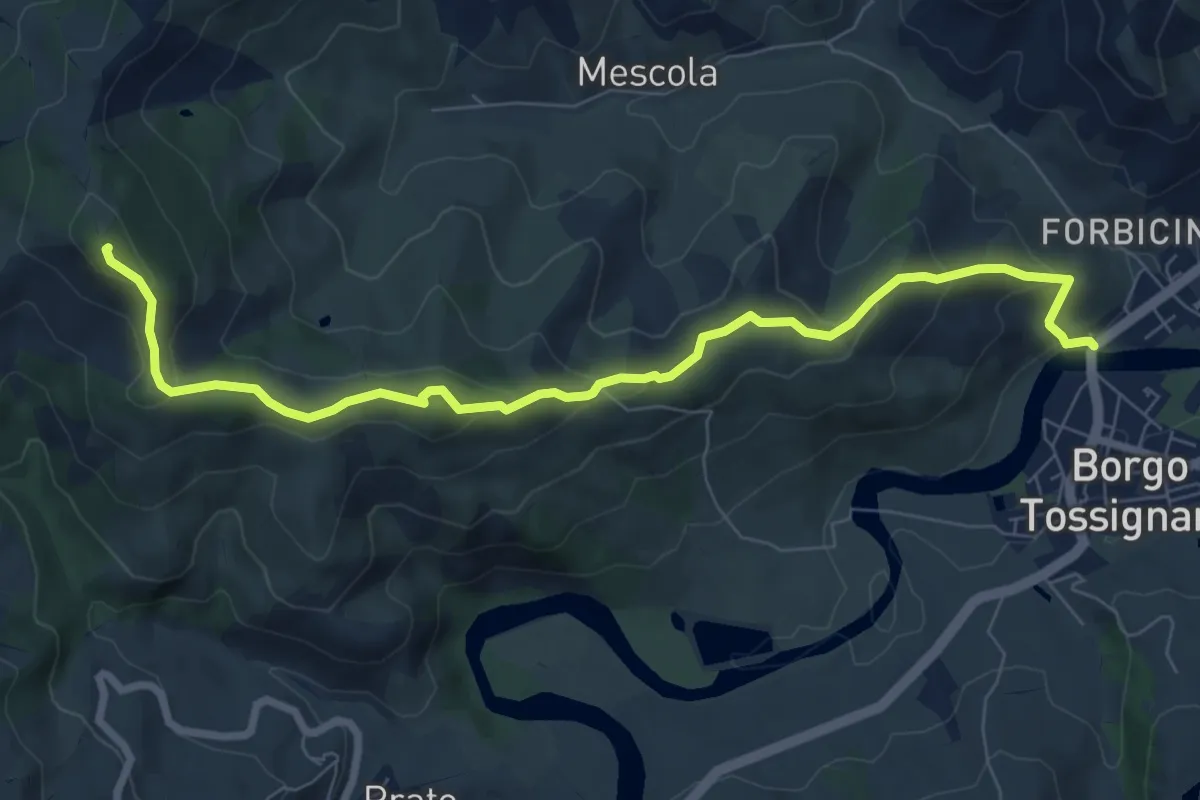
Demanding · Summit
Borgo Tossignano – Borgo Tossignano
8.8 km · ↑ 392 m · 2 h 55 min · 13 km away
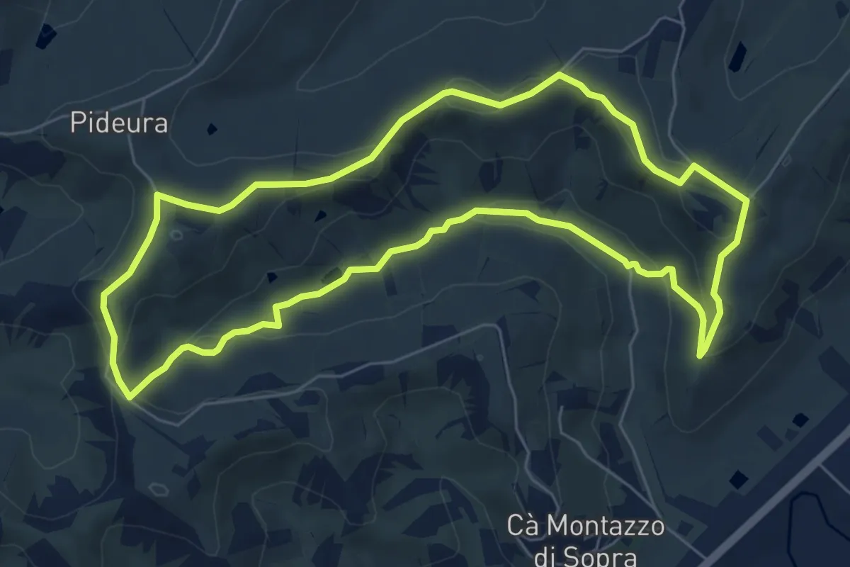
Easy · Trail
Percorso Sangiovese
6.8 km · ↑ 170 m · 2 h 5 min · 13 km away
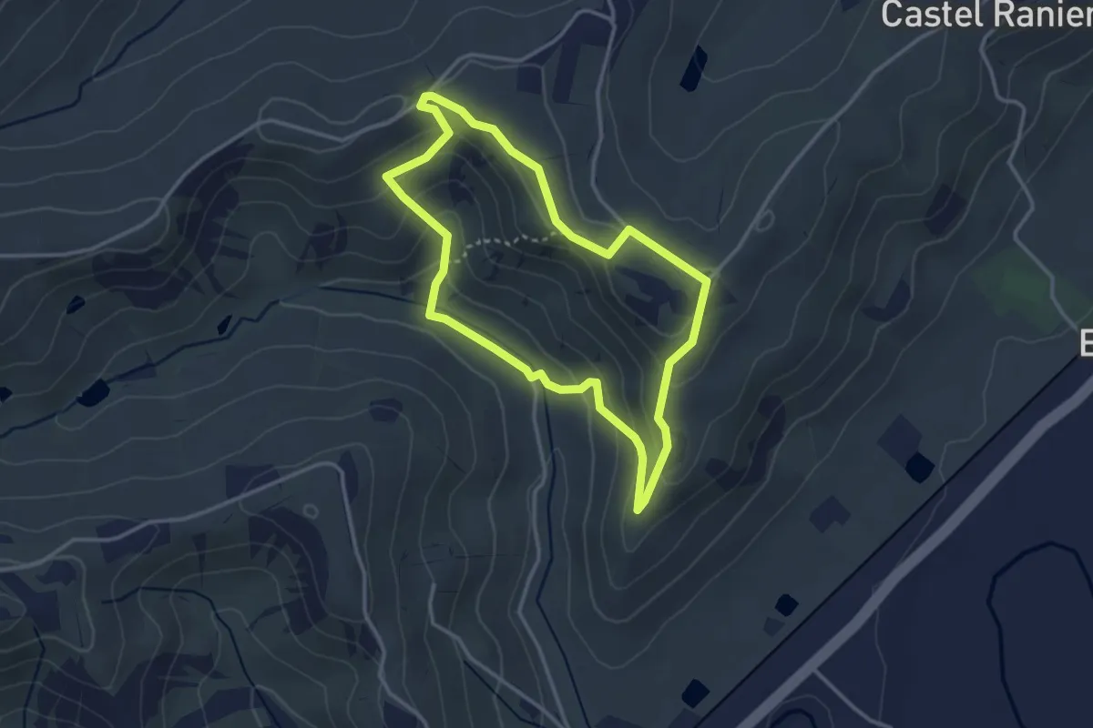
Easy · Trail
Percorso Berta
3.2 km · ↑ 116 m · 1 h 3 min · 13 km away
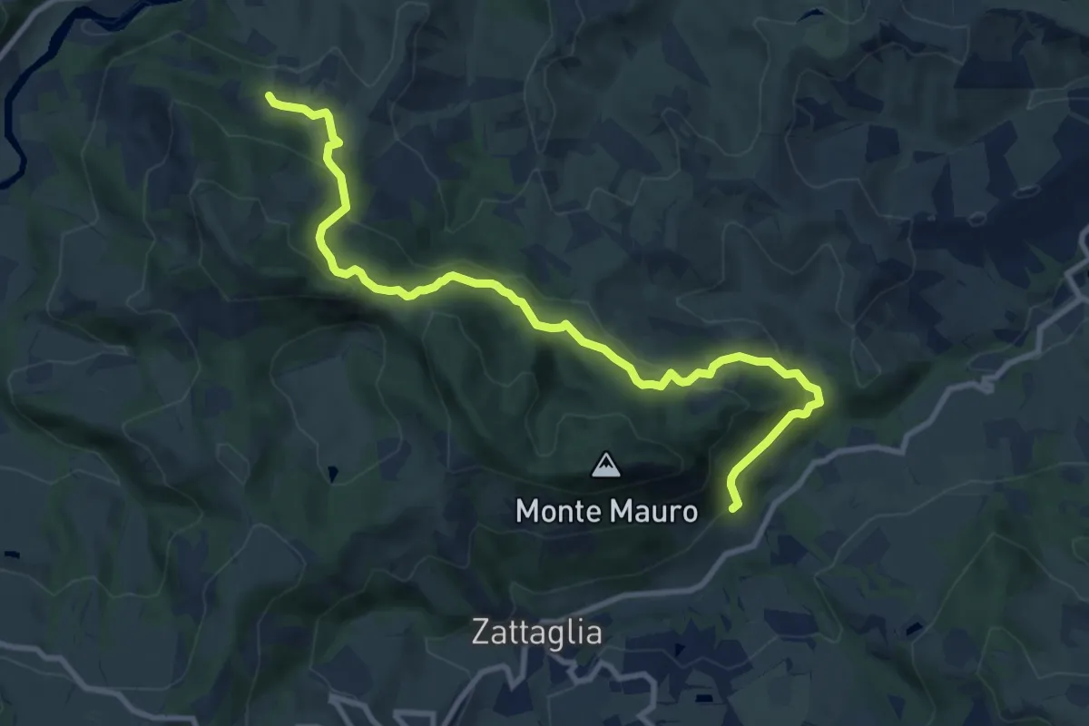
Medium · Trail
Incrocio Percorso 511 – Crivellari
11.0 km · ↑ 540 m · 3 h 46 min · 13 km away
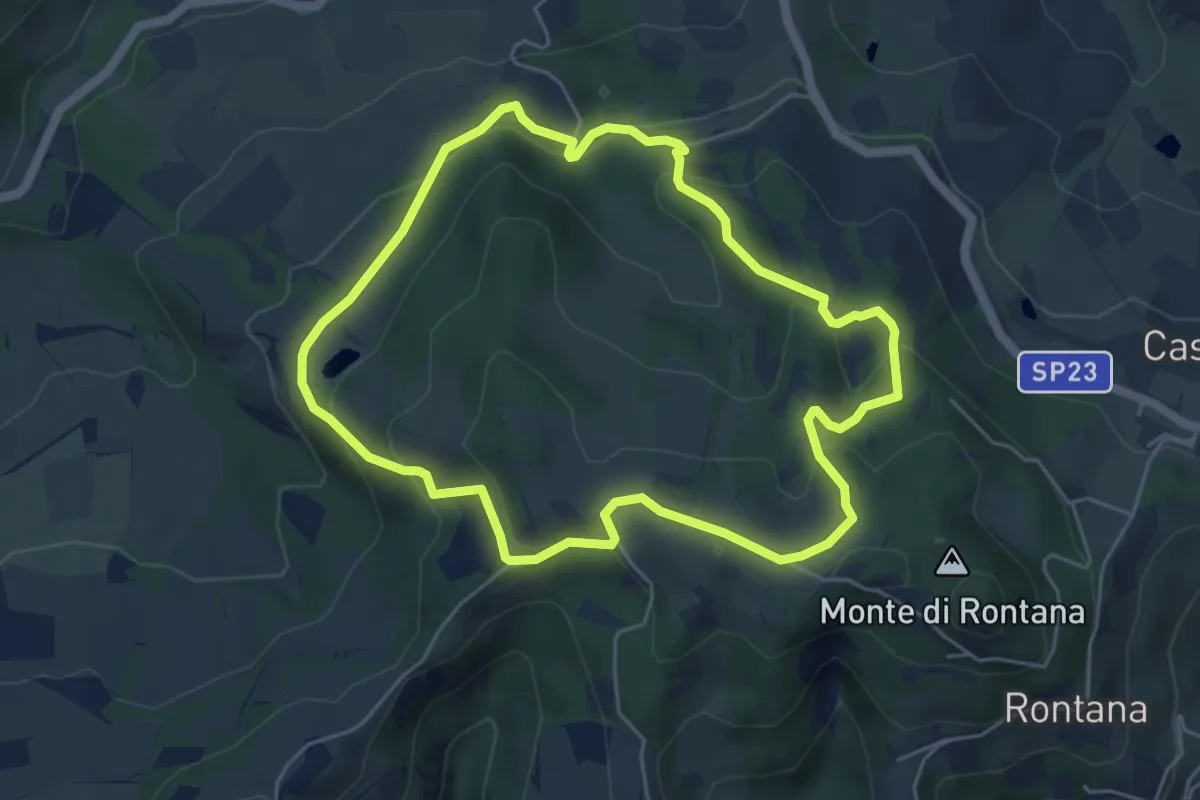
Medium · Trail
L'Anello del Carnè
5.3 km · ↑ 226 m · 1 h 49 min · 13 km away
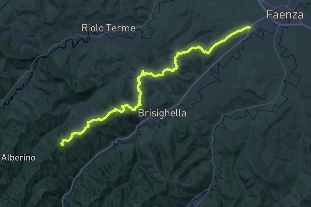
Demanding · Summit
Sentiero Ariano Bentivoglio
43.9 km · ↑ 1342 m · 13 h 16 min · 14 km away
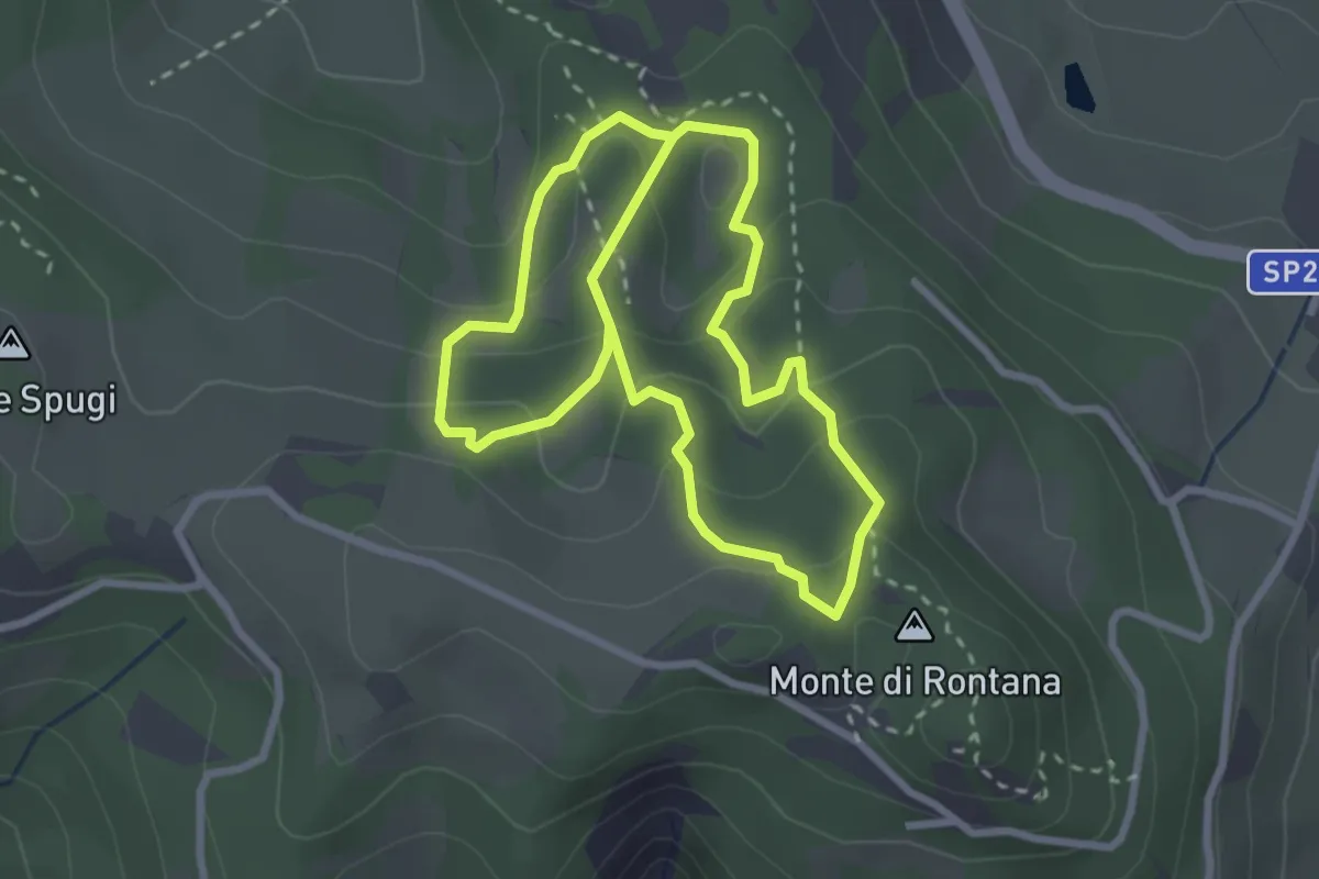
Medium · Cabin
Sentiero degli Abissi
2.7 km · ↑ 160 m · 1 h 1 min · 14 km away
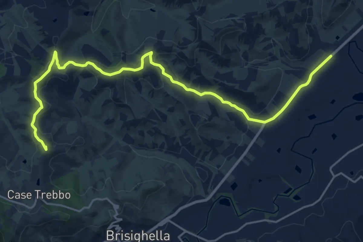
Demanding · Summit
Viae Misericordiae: Tappa 6
16.1 km · ↑ 408 m · 4 h 41 min · 14 km away
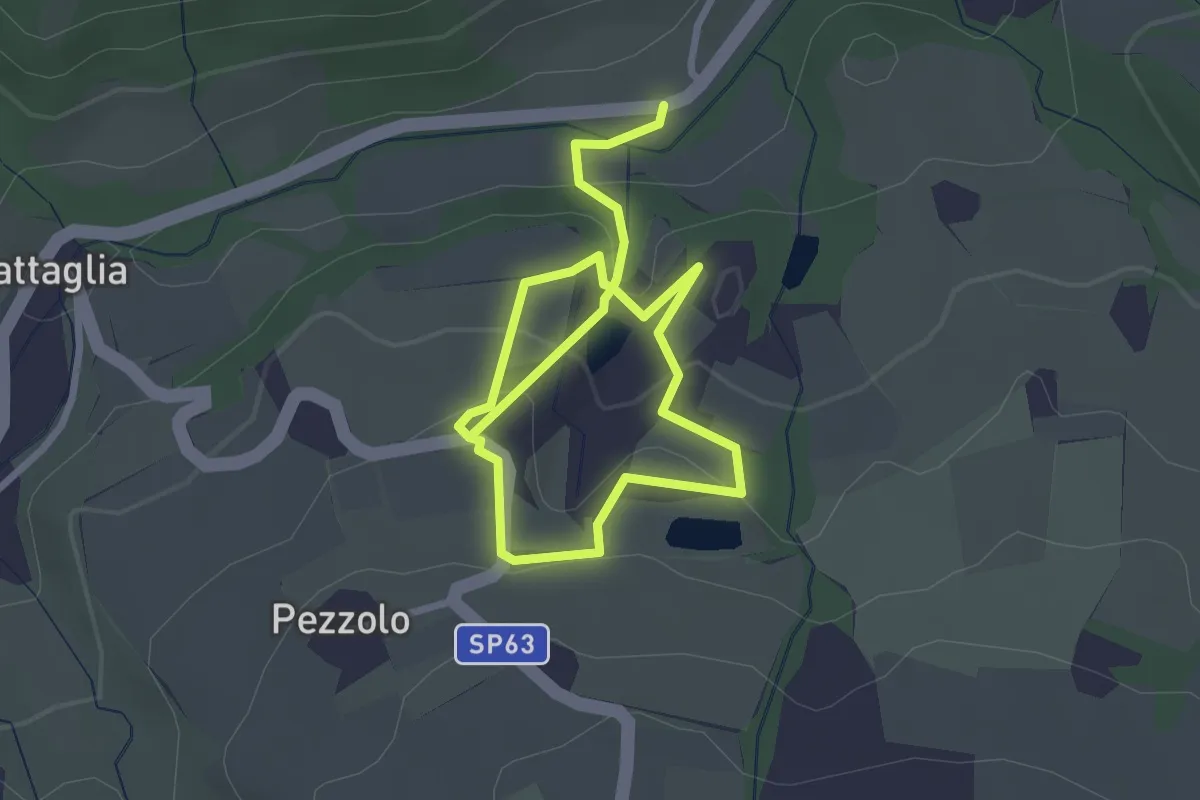
Medium · Trail
I Sentieri di Monte Spada
4.6 km · ↑ 196 m · 1 h 30 min · 14 km away
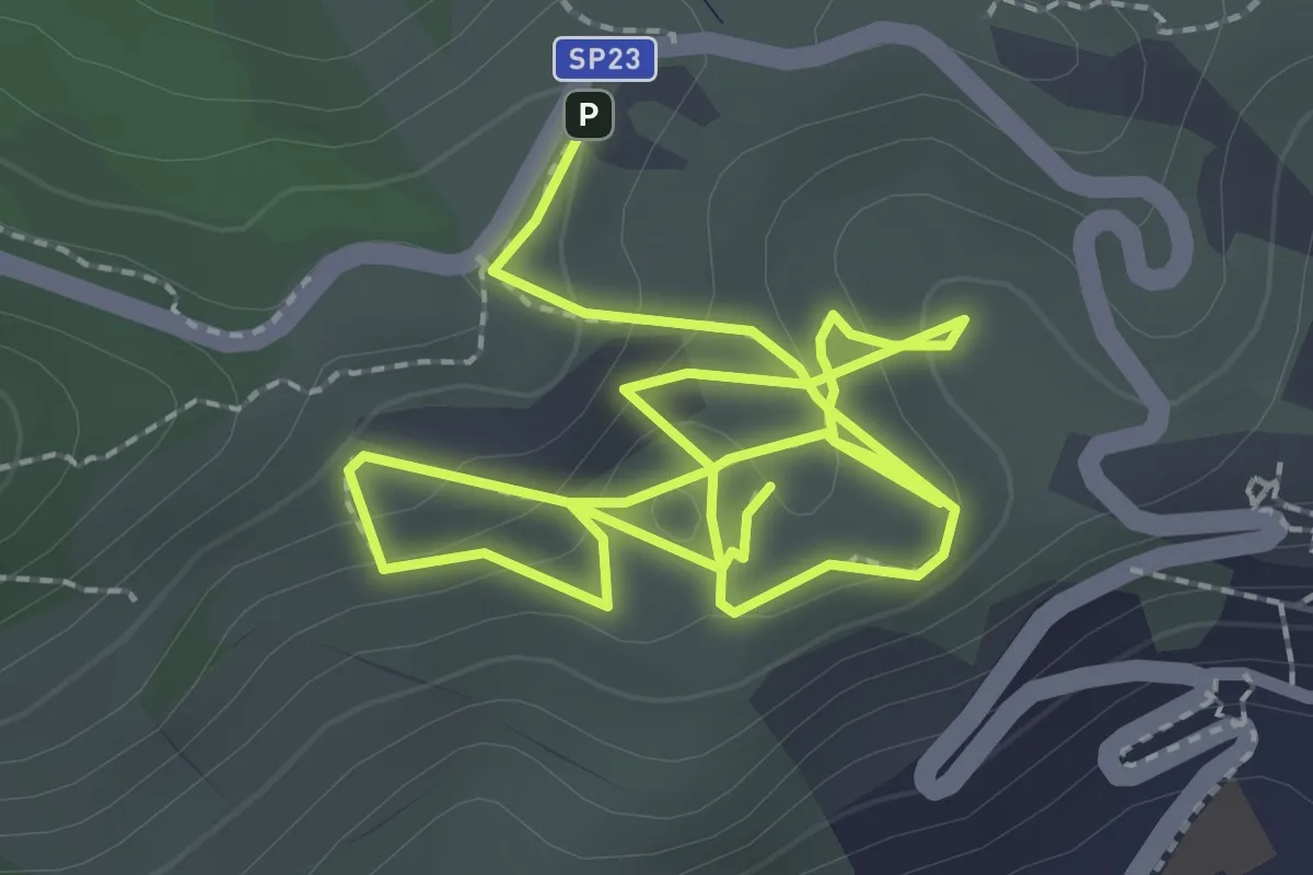
Medium · Trail
Sentiero Didattico Parco Museo Geologico del Monticino
4.7 km · ↑ 198 m · 1 h 32 min · 15 km away
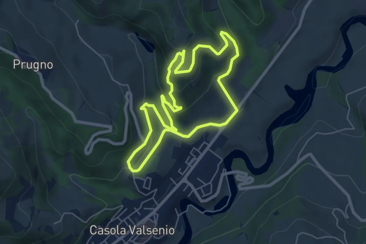
Easy · Trail
Petalo del Giardino delle Erbe e del Cardello
4.8 km · ↑ 239 m · 1 h 43 min · 15 km away