Trails near Imperia
47 hikes starting within 15 km, nearest first.
Nearest first
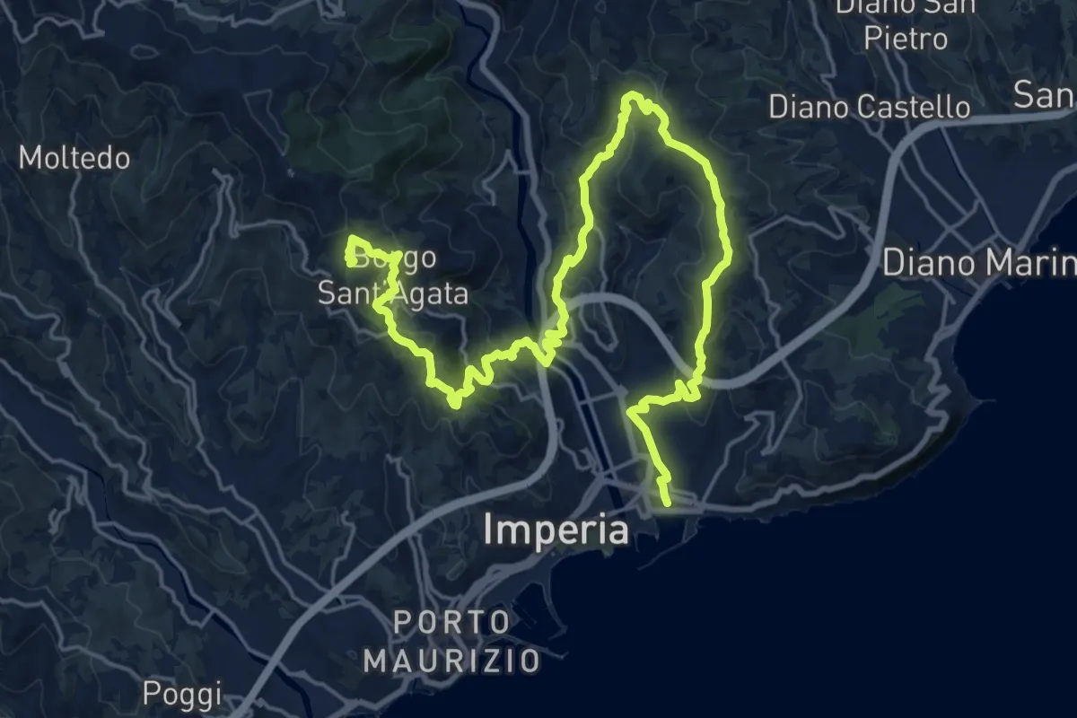
Demanding · Summit
Imperia 11 Antiche Vie
28.5 km · ↑ 1129 m · 9 h 10 min · 1 km away
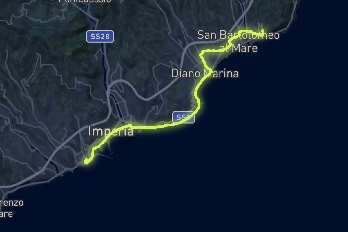
Demanding · Trail
Sentiero Liguria - Tappa 25
27.5 km · ↑ 427 m · 7 h 26 min · 2 km away
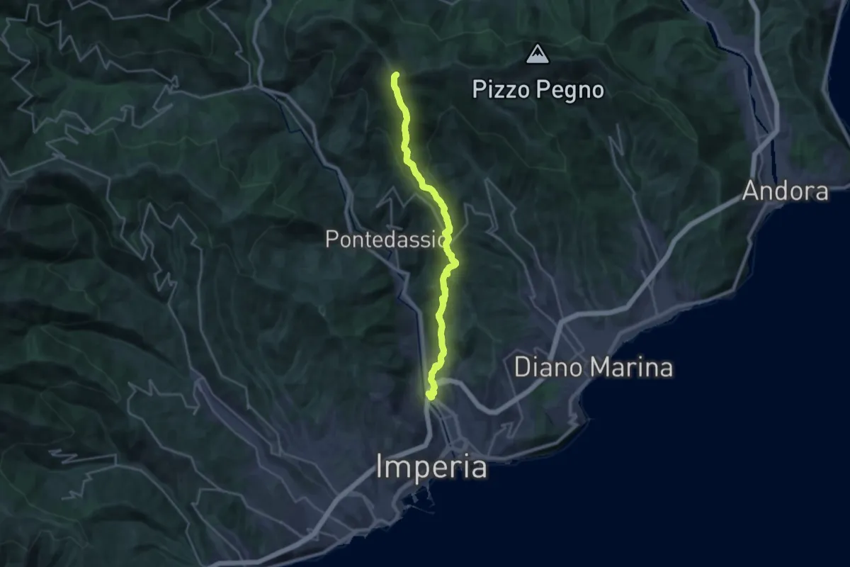
Demanding · Summit
AM3 - Alpi Mare 3
20.7 km · ↑ 1049 m · 7 h 9 min · 2 km away
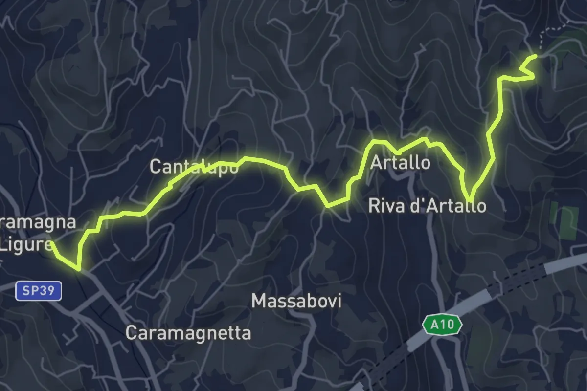
Easy · Trail
Via della Costa - Variante tappa 3.1
7.4 km · ↑ 269 m · 2 h 20 min · 3 km away
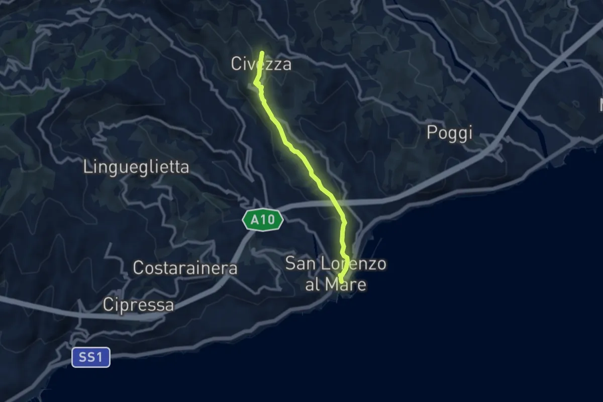
Easy · Trail
San Lorenzo - Civezza
7.3 km · ↑ 272 m · 2 h 18 min · 6 km away
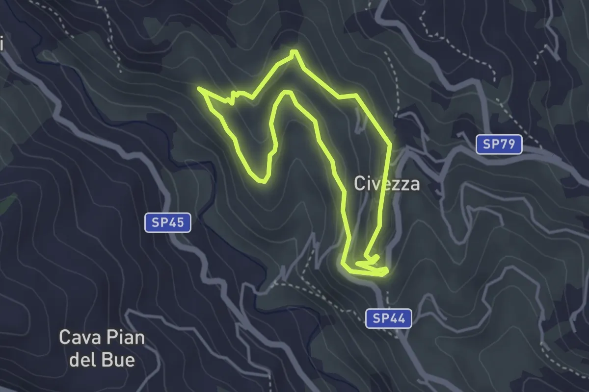
Easy · Trail
Anello di Civezza
3.3 km · ↑ 127 m · 1 h 6 min · 6 km away
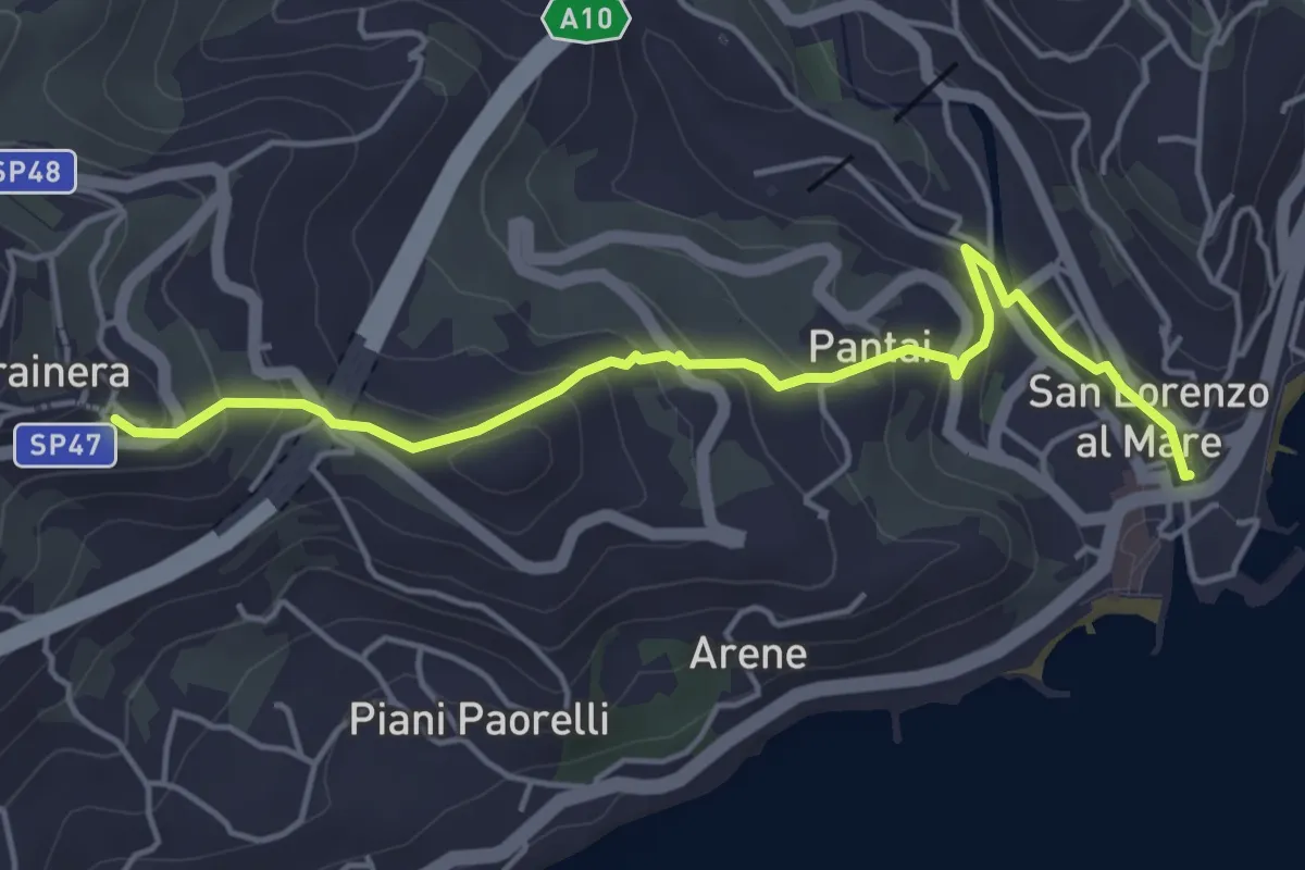
Easy · Trail
San Lorenzo al Mare-Costarainera
5.0 km · ↑ 224 m · 1 h 40 min · 6 km away
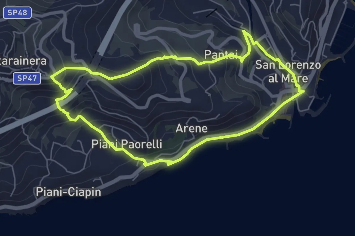
Easy · Trail
Antica mulattiera da San Lorenzo al Mare a Costarainera - Piani Paorelli
5.1 km · ↑ 232 m · 1 h 47 min · 6 km away
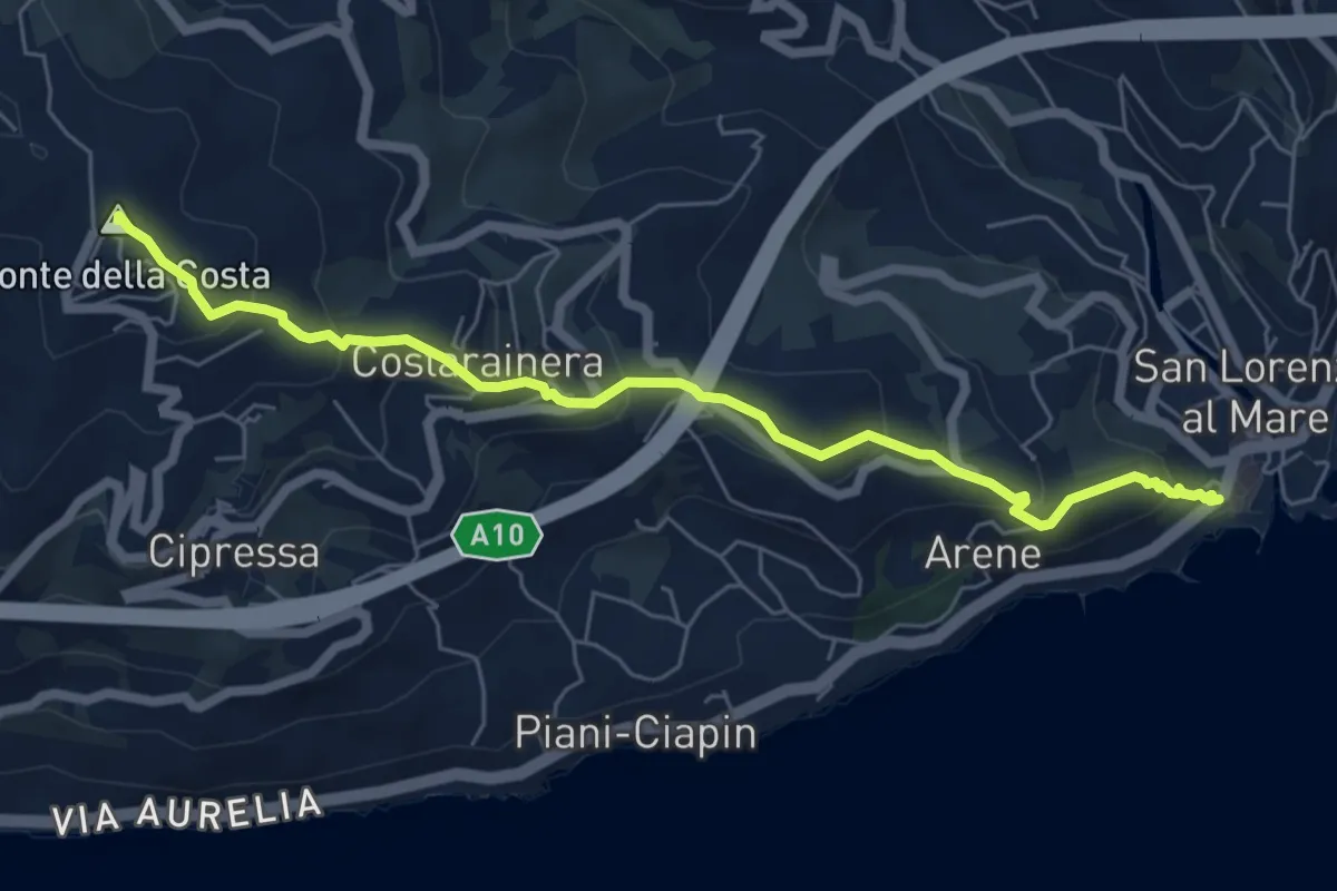
Medium · Summit
San Lorenzo al Mare – Lingueglietta
6.8 km · ↑ 396 m · 2 h 28 min · 7 km away
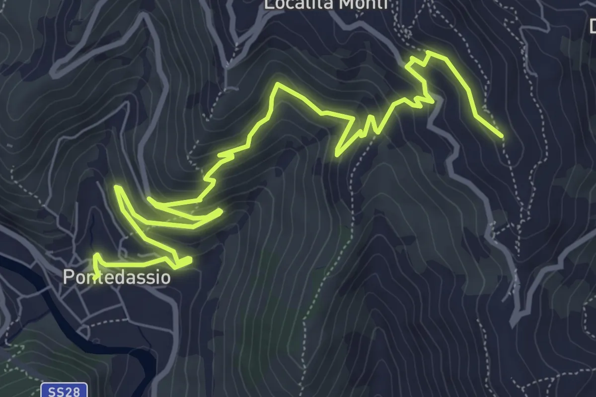
Medium · Trail
Sentiero del Museo
9.8 km · ↑ 531 m · 3 h 28 min · 7 km away
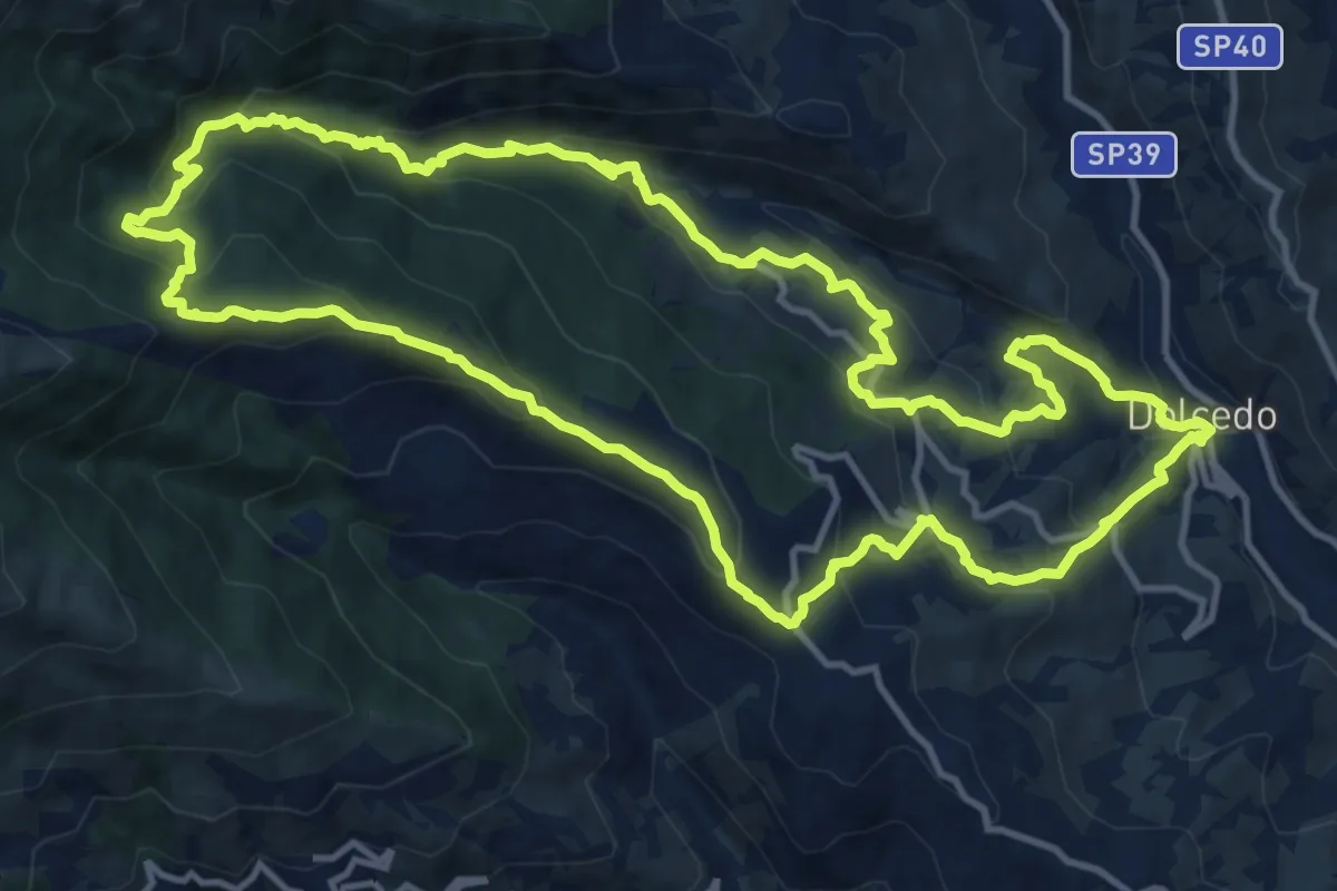
Demanding · Summit
Anello delle borgate di Dolcedo e del suo bosco comunale
14.7 km · ↑ 859 m · 5 h 32 min · 7 km away
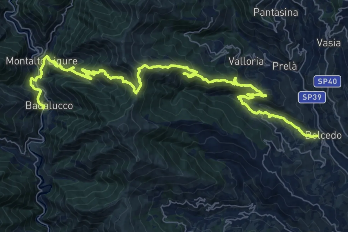
Demanding · Trail
Sentiero Balcone Mediterraneo T5
18.3 km · ↑ 1298 m · 7 h 19 min · 7 km away
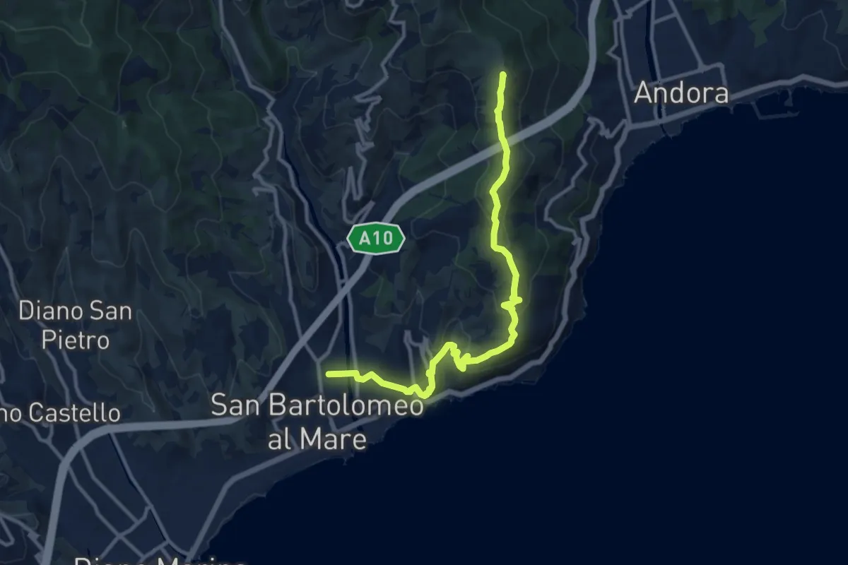
Medium · Summit
Via della Costa - Variante tappa 3.2
11.8 km · ↑ 423 m · 3 h 42 min · 7 km away
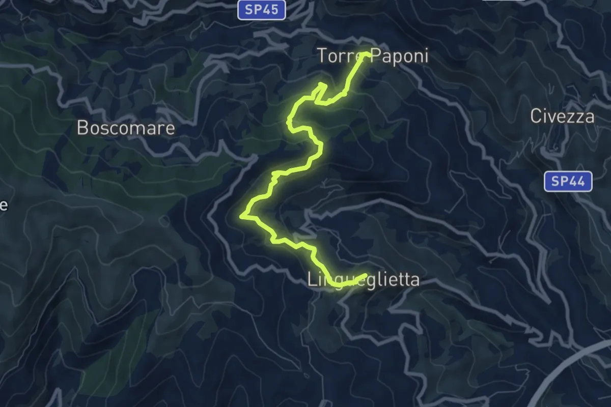
Medium · Trail
Torre Paponi - Lingueglietta
8.6 km · ↑ 497 m · 3 h 7 min · 8 km away
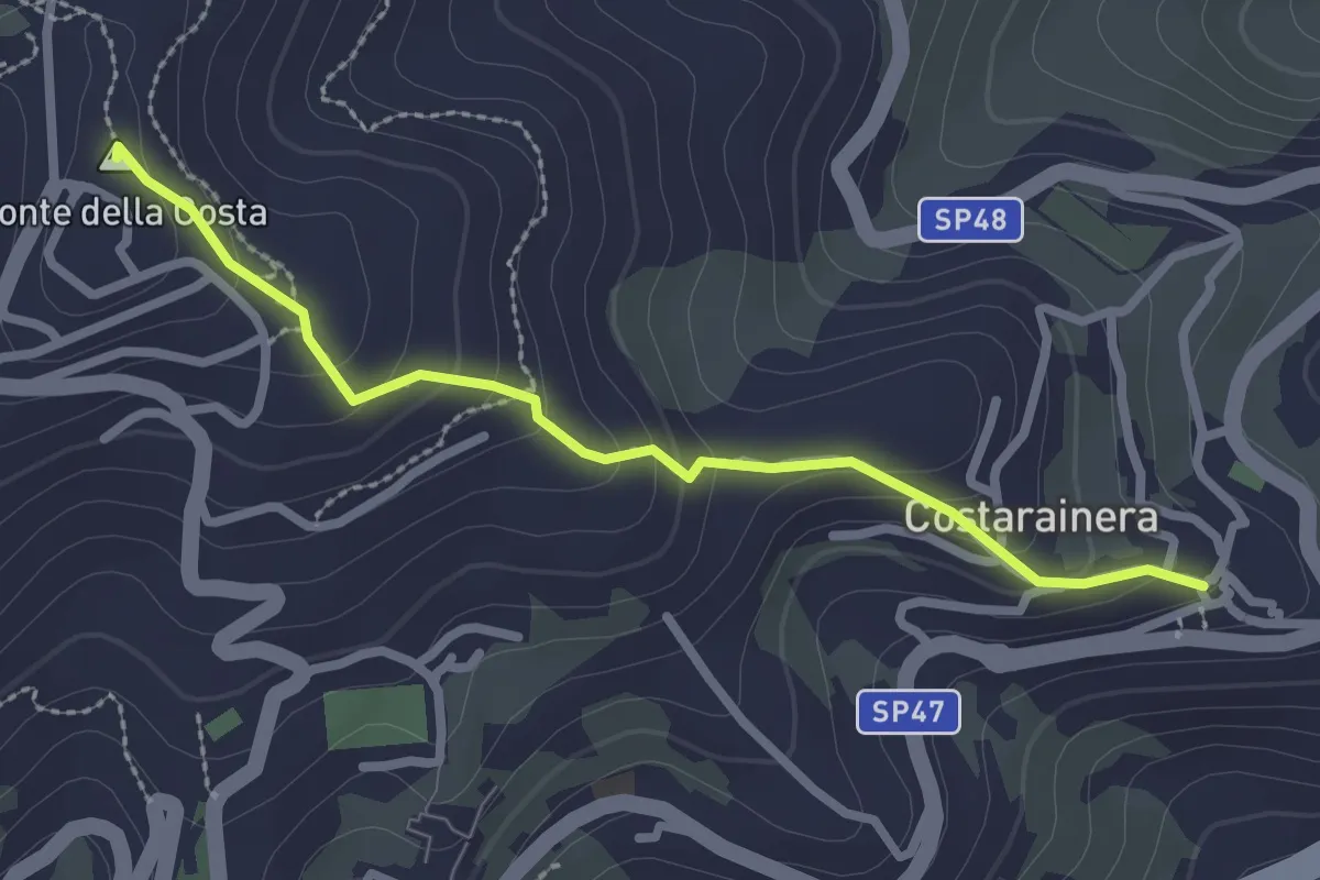
Easy · Summit
Costarainera – Lingueglietta
2.7 km · ↑ 155 m · 58 min · 8 km away
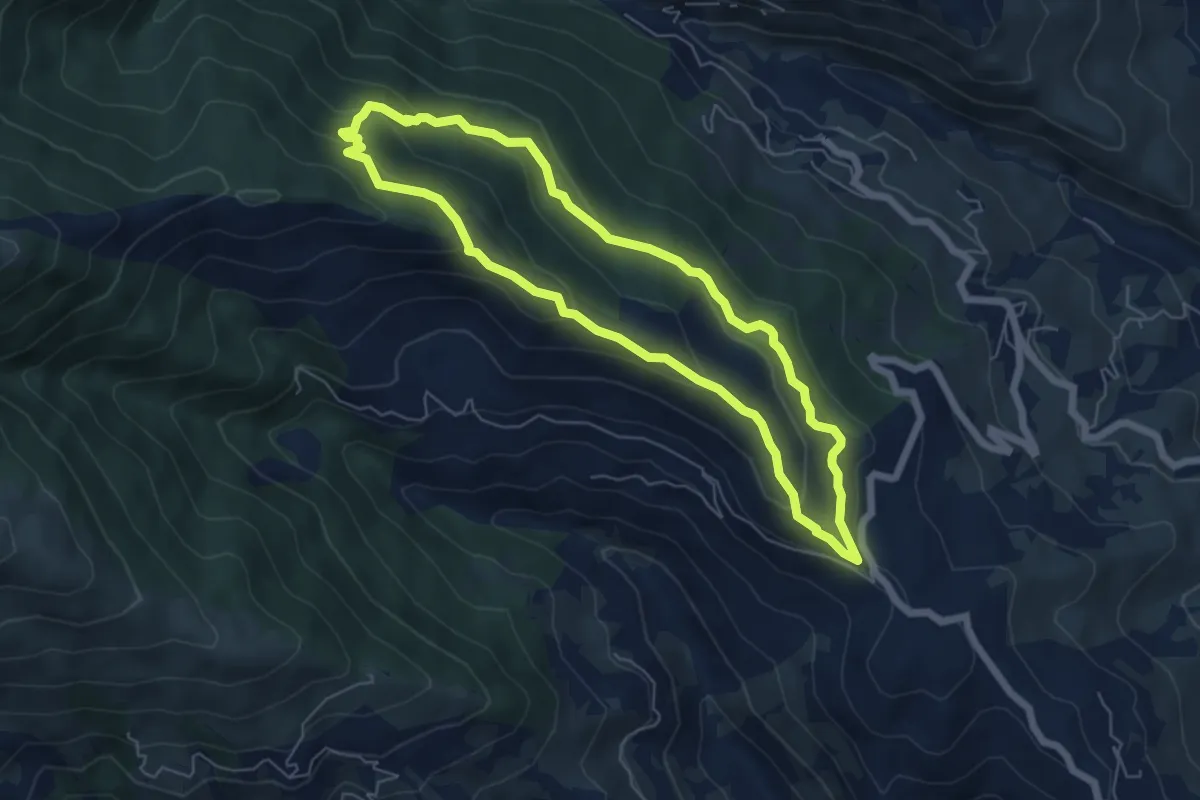
Easy · Summit
Anello di S. Brigida
5.9 km · ↑ 256 m · 2 h 1 min · 8 km away
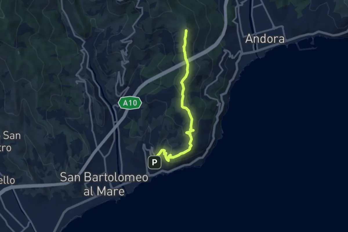
Medium · Summit
Sentiero Liguria - Tappa 24
8.9 km · ↑ 330 m · 2 h 49 min · 8 km away
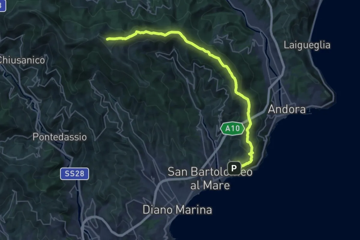
Demanding · Summit
Sentiero Balcone Mediterraneo T8
26.2 km · ↑ 1154 m · 8 h 41 min · 8 km away
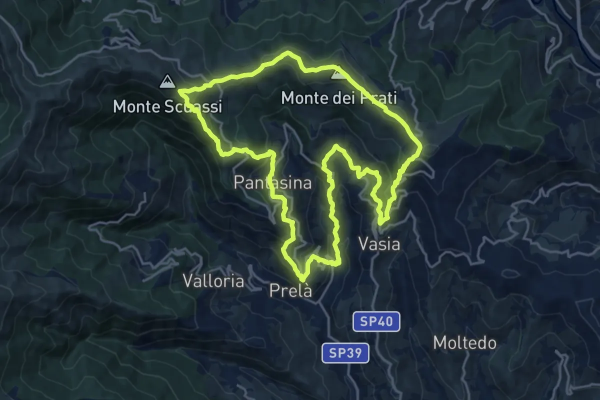
Demanding · Summit
Anello di Vasia e delle sue frazioni
15.7 km · ↑ 844 m · 5 h 46 min · 8 km away
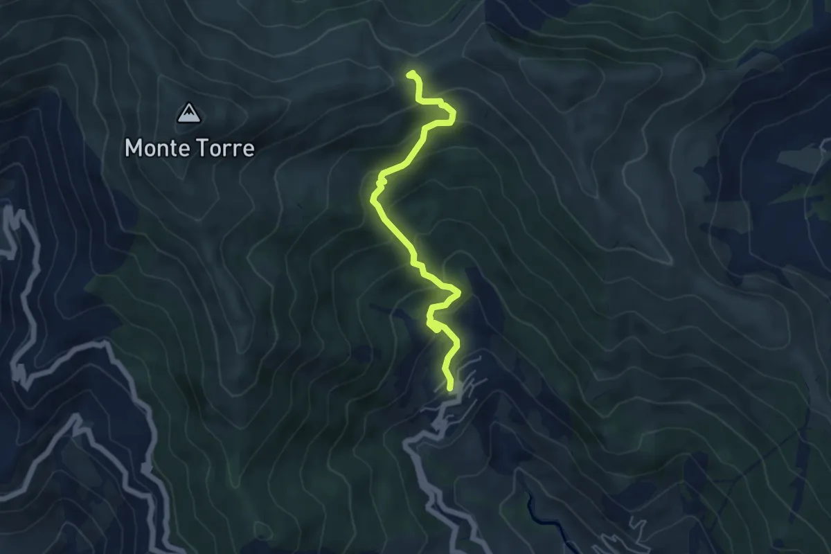
Demanding · Trail
Evigno – La Colla
5.2 km · ↑ 397 m · 2 h 5 min · 9 km away
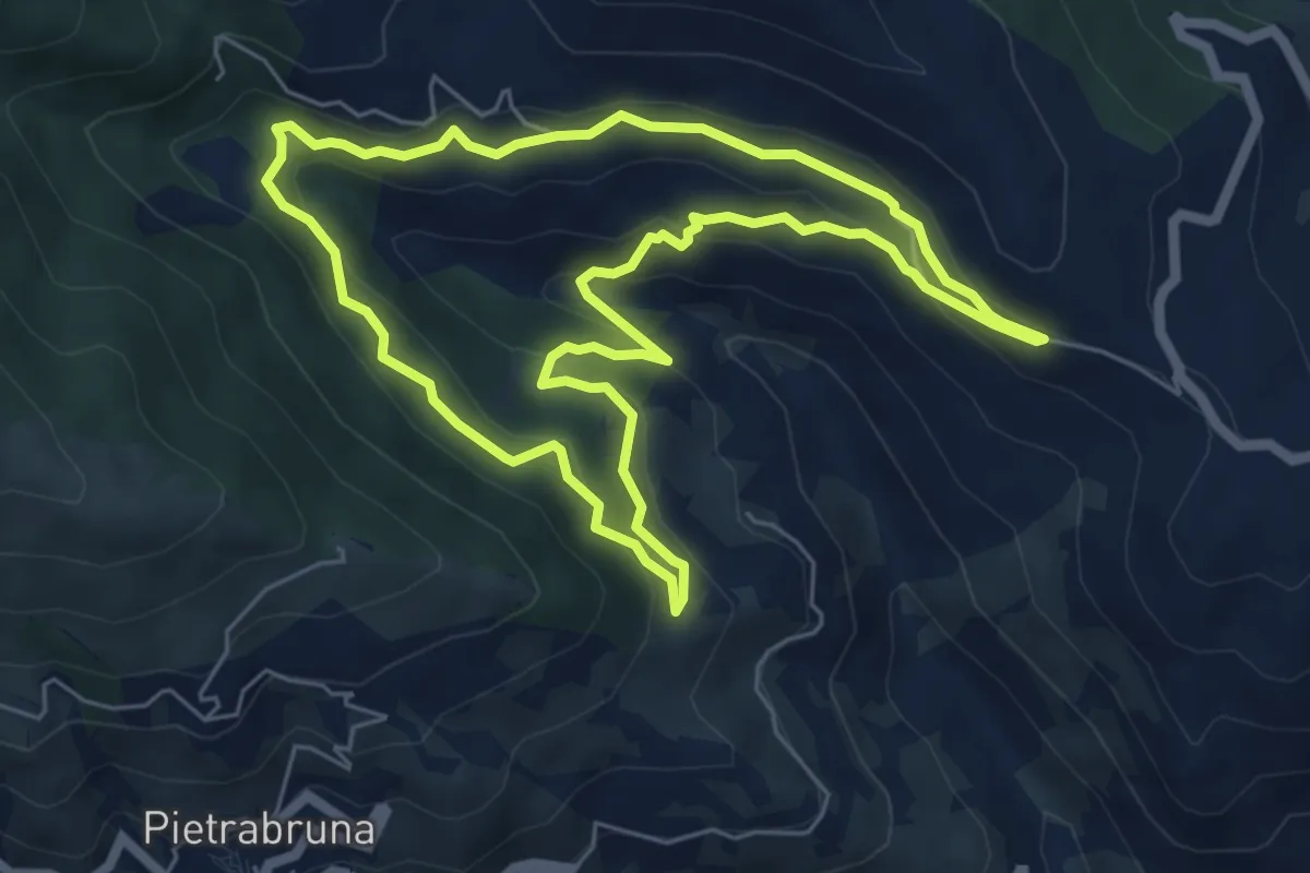
Demanding · Trail
Passeggiata dei Ponti
6.3 km · ↑ 317 m · 2 h 15 min · 9 km away
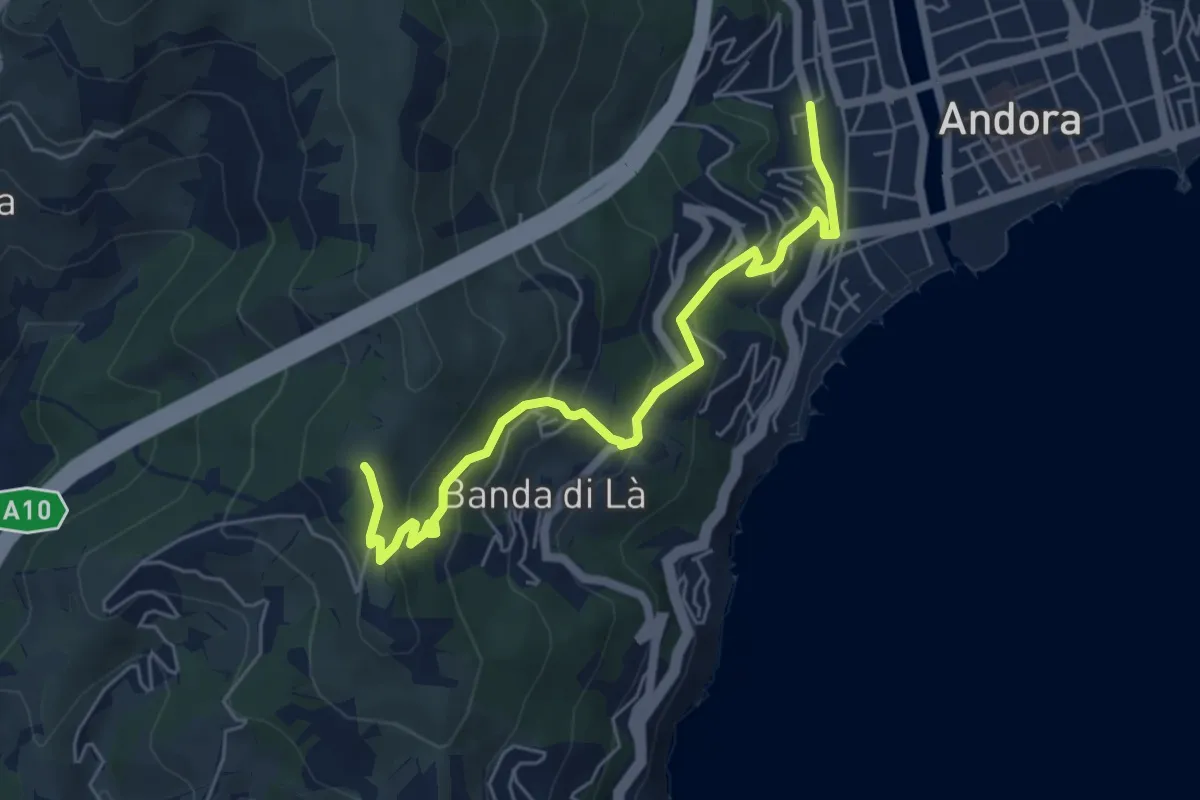
Medium · Trail
Terre Alte
6.2 km · ↑ 320 m · 2 h 9 min · 10 km away
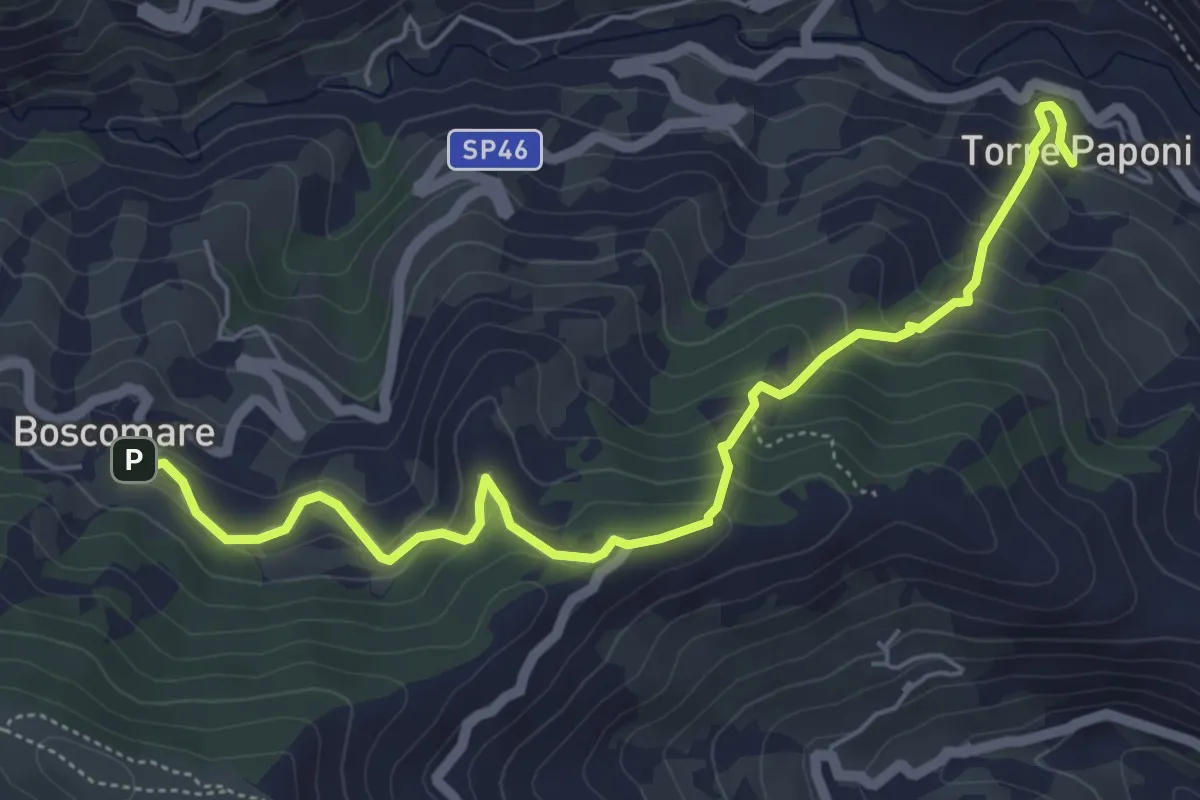
Medium · Trail
Torre Paponi - Boscomare
6.4 km · ↑ 447 m · 2 h 29 min · 10 km away
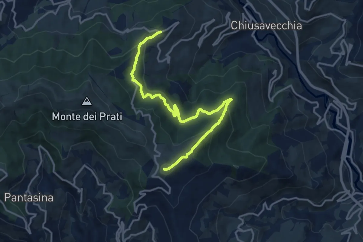
Medium · Summit
Sentiero Balcone Mediterraneo T6
11.2 km · ↑ 546 m · 3 h 49 min · 10 km away
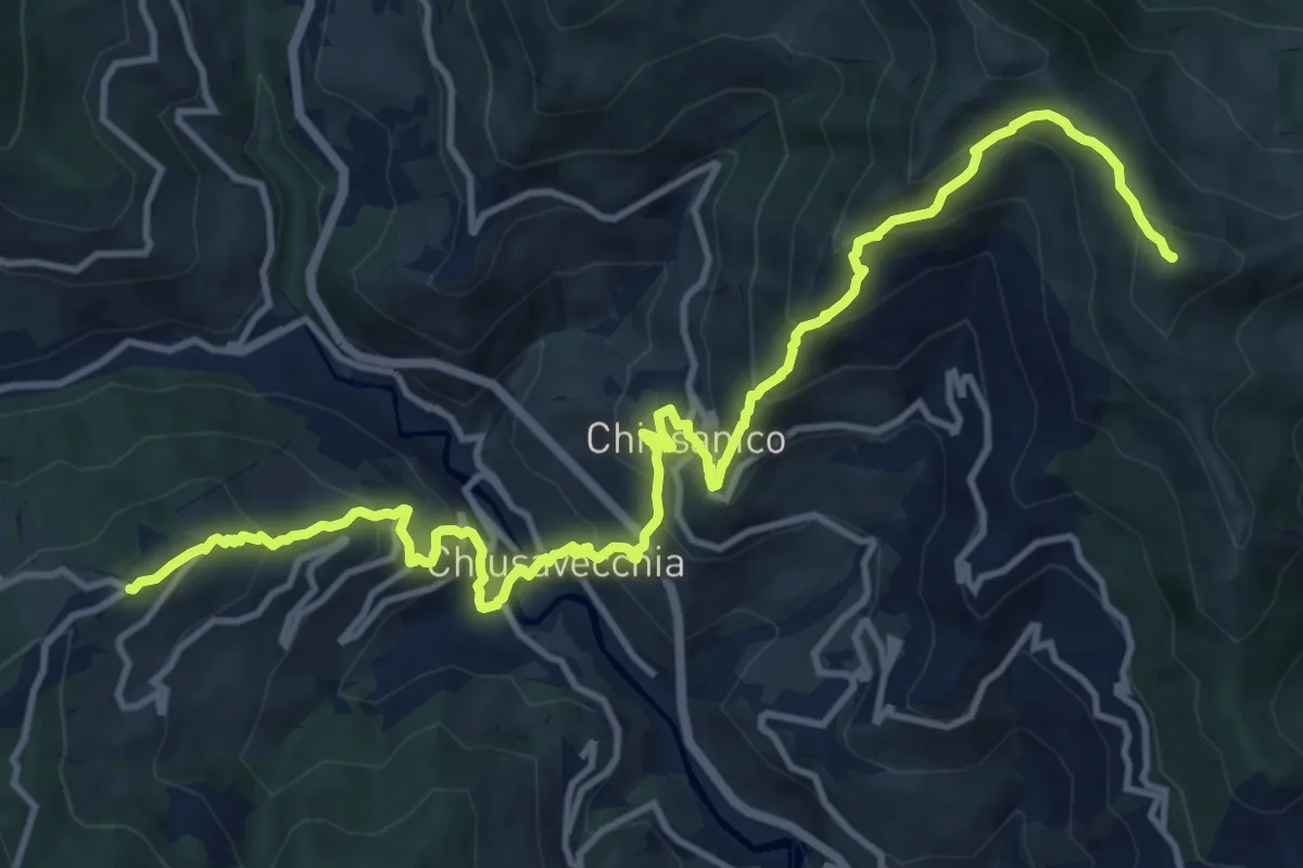
Demanding · Summit
Sentiero Balcone Mediterraneo T7
16.2 km · ↑ 1233 m · 6 h 29 min · 10 km away
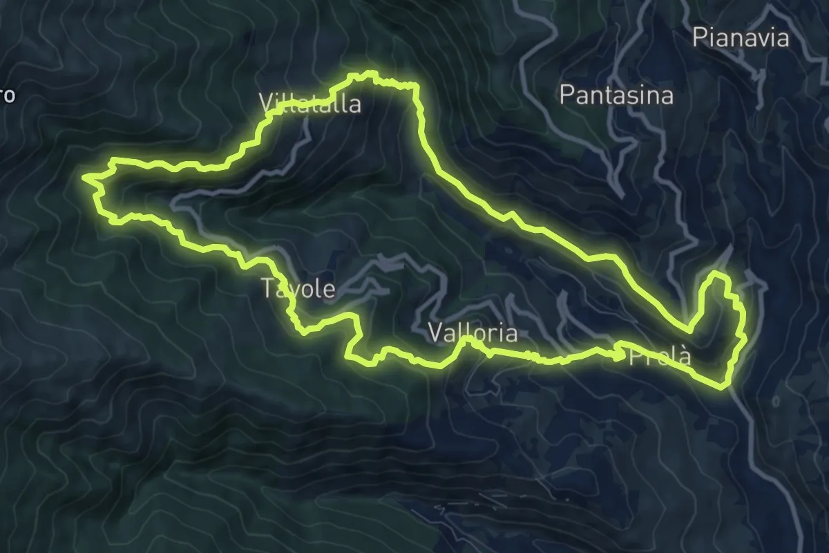
Demanding · Trail
Anello dell'Alta Val Prino
12.5 km · ↑ 806 m · 4 h 53 min · 11 km away
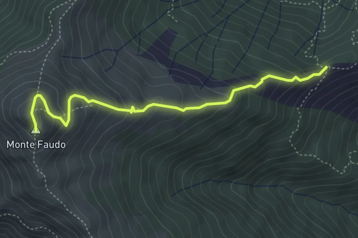
Medium · Summit
Passo Bastia – Monte Faudo
4.5 km · ↑ 378 m · 1 h 53 min · 11 km away
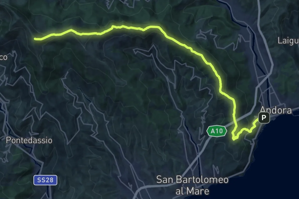
Demanding · Summit
Andora - Pizzo d'Evigno - Passo del Ginestro
29.5 km · ↑ 1471 m · 10 h 9 min · 11 km away
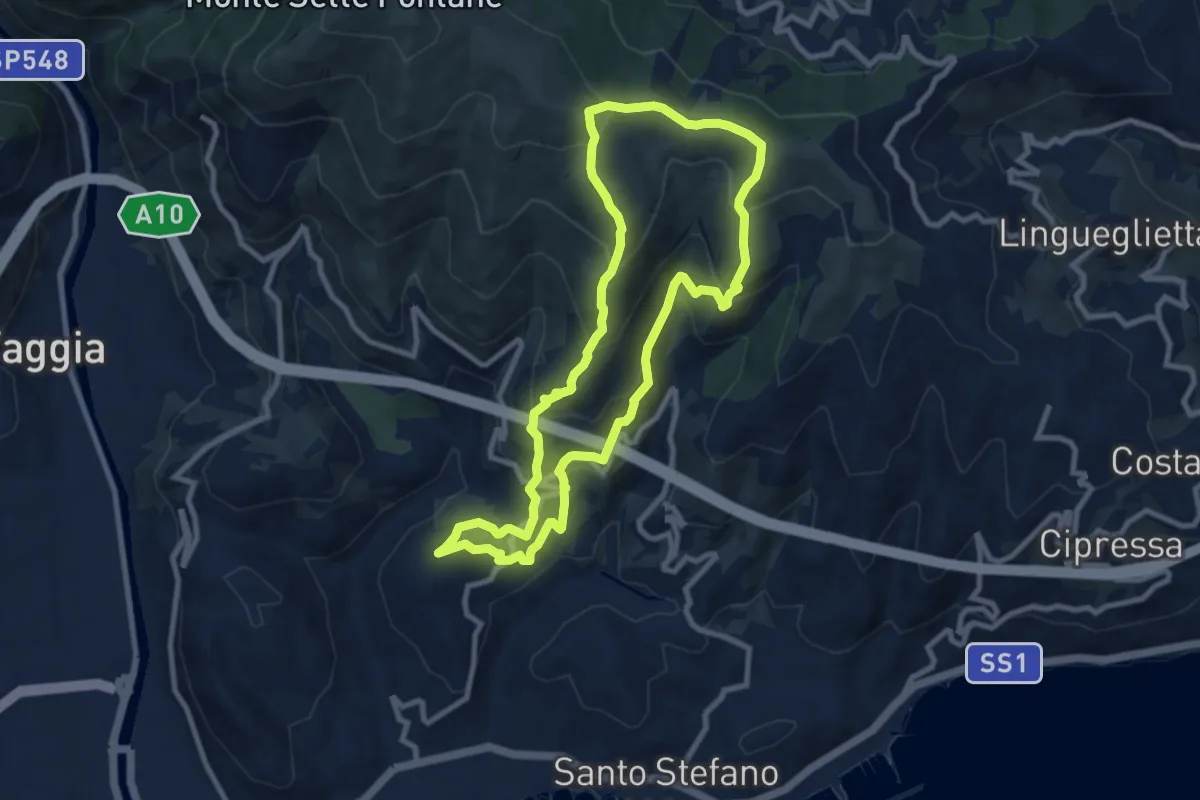
Medium · Summit
Anello delle borgate e del sito Natura 2000 di Pompeiana
9.0 km · ↑ 578 m · 3 h 30 min · 12 km away
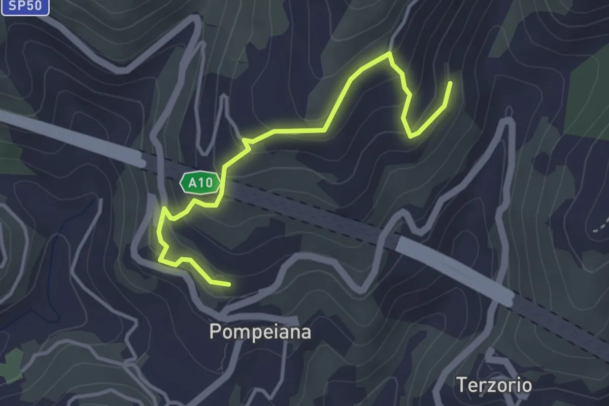
Easy · Trail
Varianti San Bernardo - Barbarasa
3.7 km · ↑ 280 m · 1 h 28 min · 12 km away
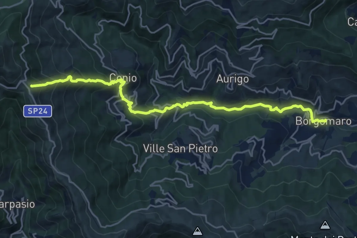
Demanding · Summit
Borgomaro – Colle d'Oggia
15.7 km · ↑ 1036 m · 5 h 57 min · 12 km away
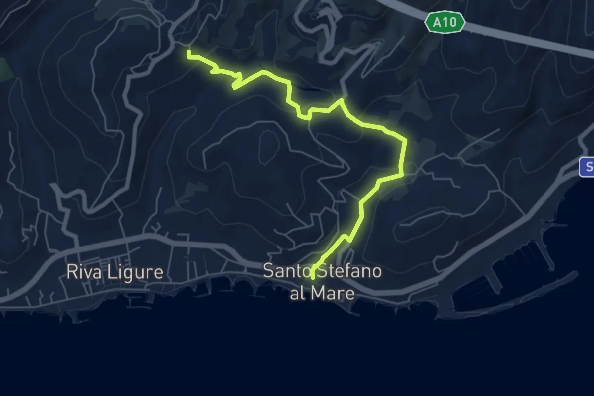
Easy · Trail
Santo Stefano al Mare – Pompeiana
6.1 km · ↑ 186 m · 1 h 51 min · 12 km away
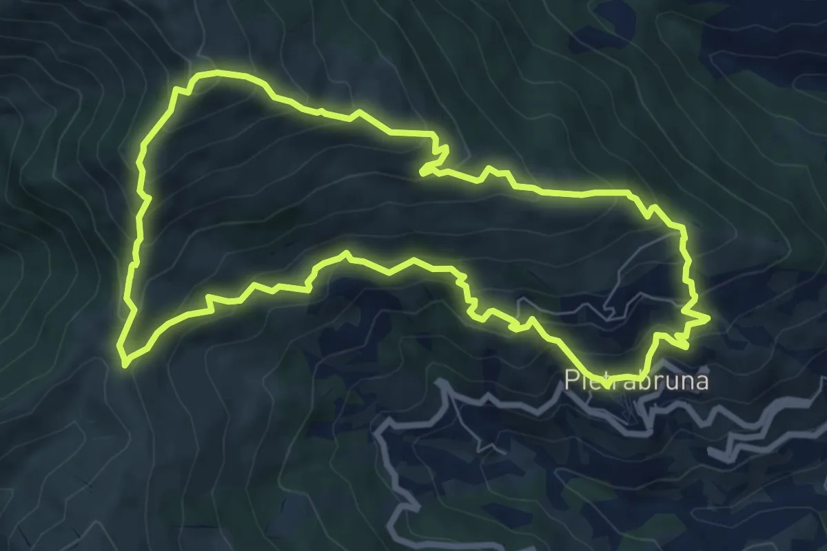
Demanding · Summit
Anello Pietrabruna - Monte Follia
7.9 km · ↑ 656 m · 3 h 24 min · 12 km away
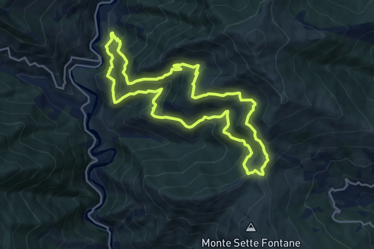
Demanding · Trail
Anello di San Salvatore
10.9 km · ↑ 928 m · 4 h 45 min · 12 km away
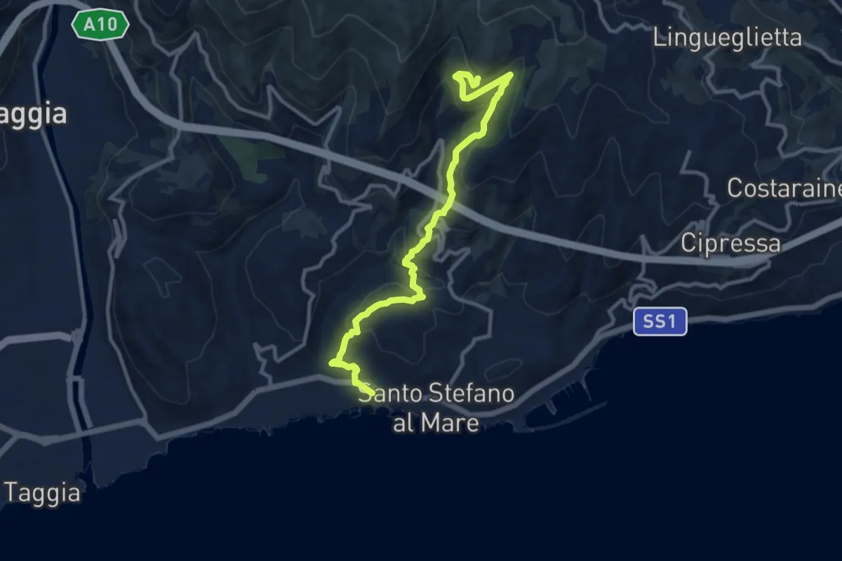
Medium · Trail
Santo Stefano al Mare – Costa dell'Omo
10.6 km · ↑ 622 m · 3 h 51 min · 12 km away
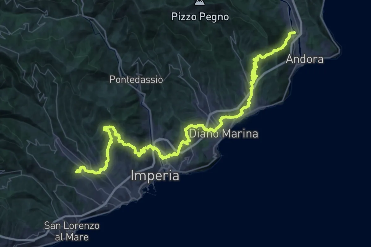
Demanding · Trail
Via della Costa - tappa 3
31.2 km · ↑ 1204 m · 10 h 21 min · 13 km away
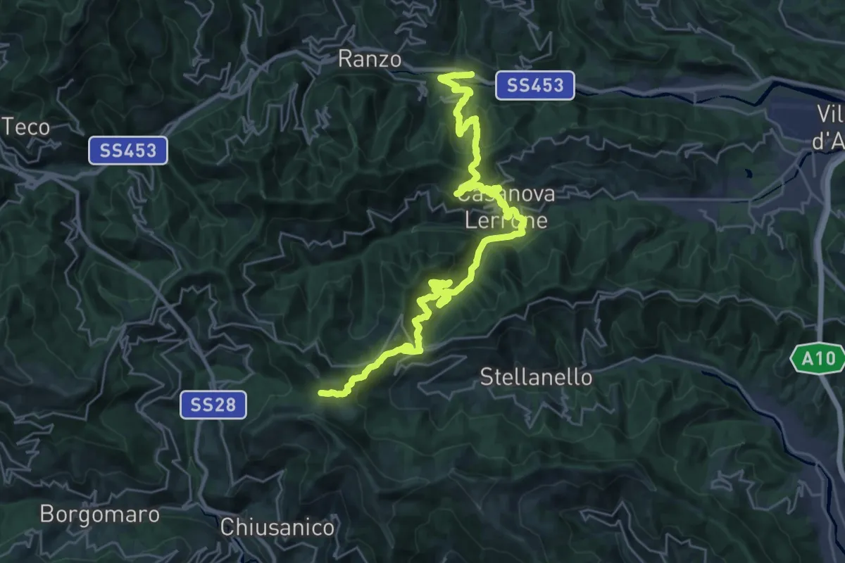
Demanding · Trail
Terre Alte
16.8 km · ↑ 643 m · 5 h 55 min · 13 km away
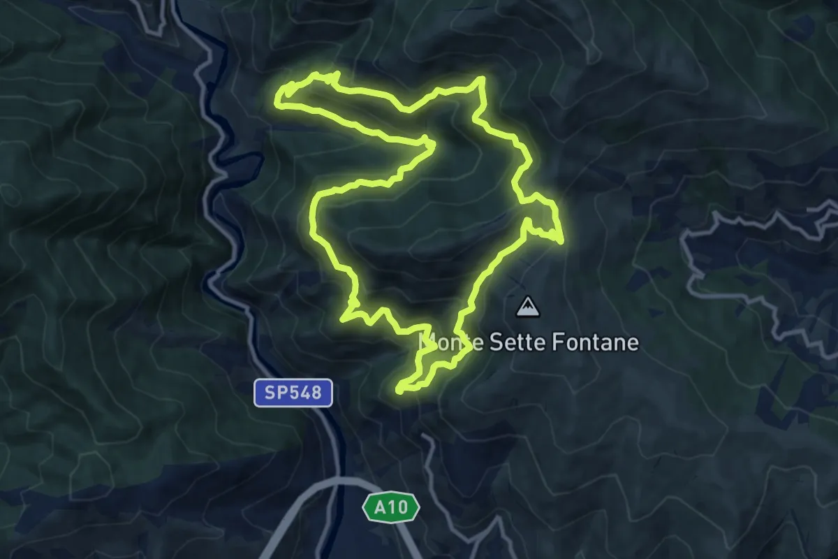
Demanding · Trail
Anello dell'Ubago di Castellaro
12.1 km · ↑ 918 m · 5 h 2 min · 13 km away
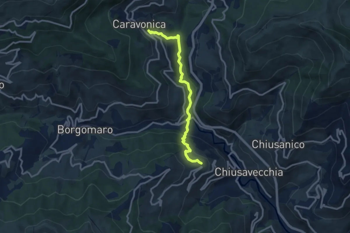
Medium · Trail
Caravonica – Lucinasco (SBM)
7.9 km · ↑ 411 m · 2 h 46 min · 13 km away
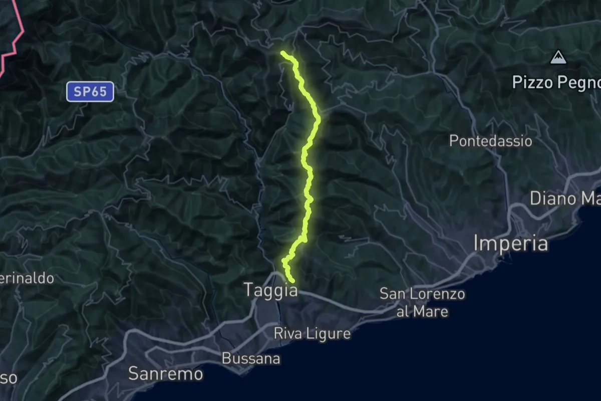
Demanding · Summit
AM2 - Alpi Mare 2
35.5 km · ↑ 2083 m · 12 h 54 min · 13 km away
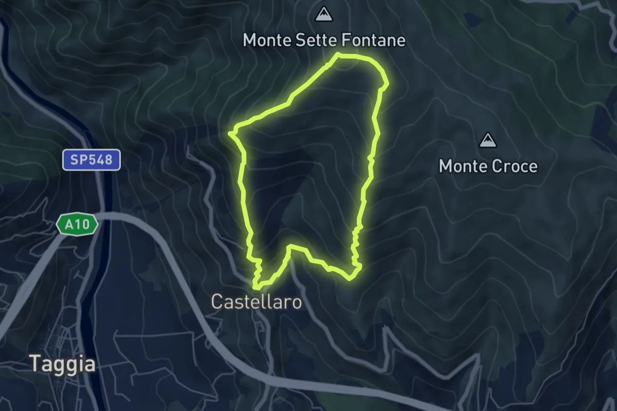
Medium · Trail
Anello del Monte Sette Fontane
5.1 km · ↑ 512 m · 2 h 22 min · 13 km away
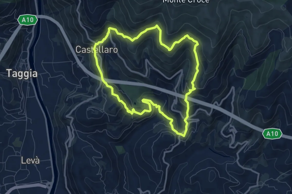
Medium · Trail
Anello del Rio Caravello
8.0 km · ↑ 446 m · 2 h 58 min · 13 km away
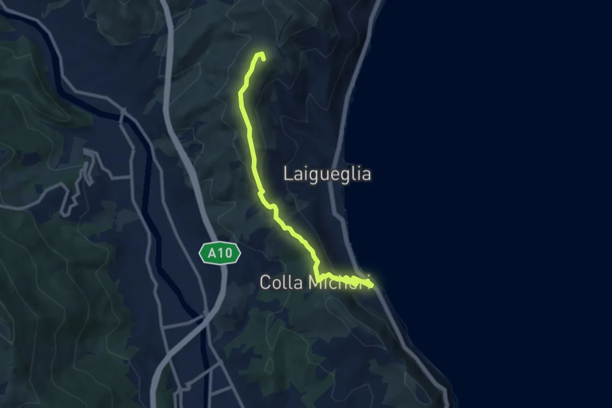
Easy · Summit
Laigueglia - Colla Micheri - San Bernardo
7.6 km · ↑ 294 m · 2 h 25 min · 14 km away
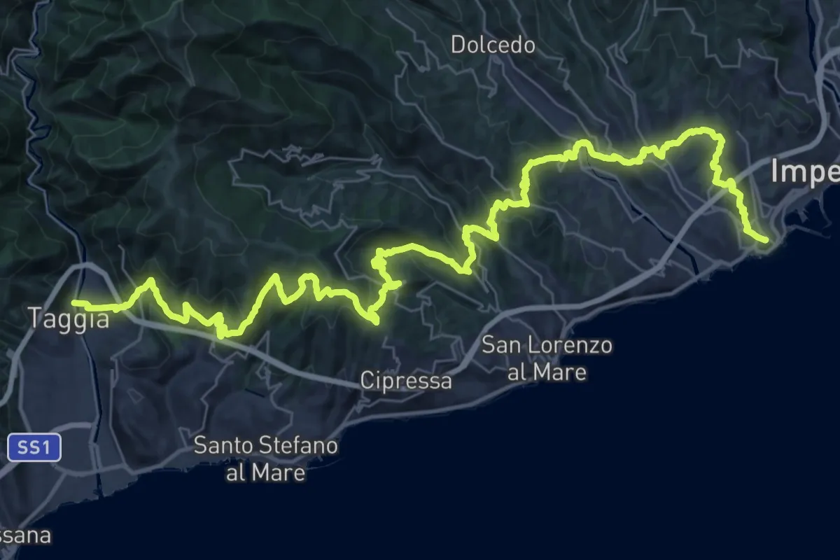
Demanding · Trail
Sentiero Liguria - Tappa 26
26.2 km · ↑ 1142 m · 9 h 1 min · 14 km away
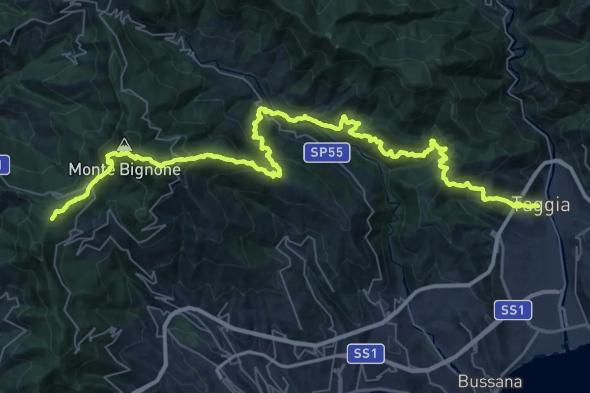
Demanding · Summit
Sentiero Liguria - Tappa 27 - variante 1
39.3 km · ↑ 2872 m · 15 h 30 min · 14 km away
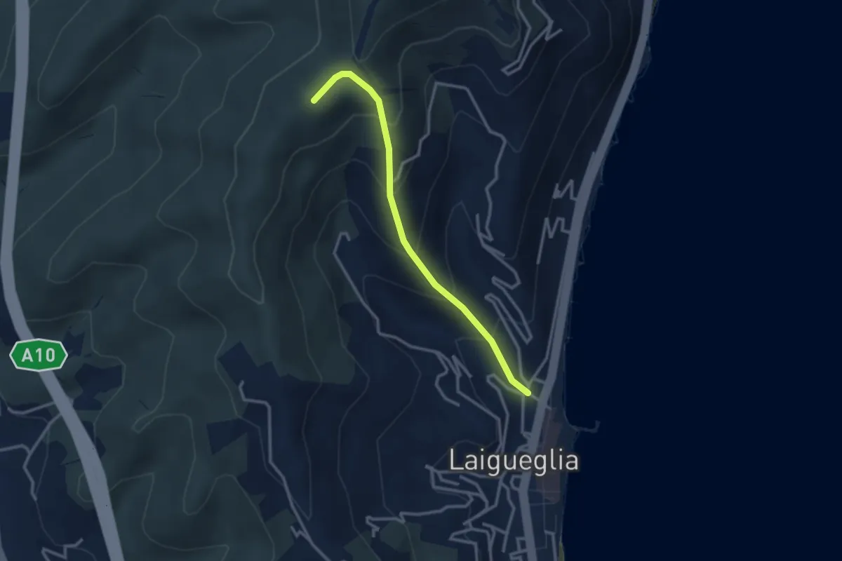
Easy · Summit
Laigueglia - Poggio Baiale
2.8 km · ↑ 279 m · 1 h 16 min · 15 km away
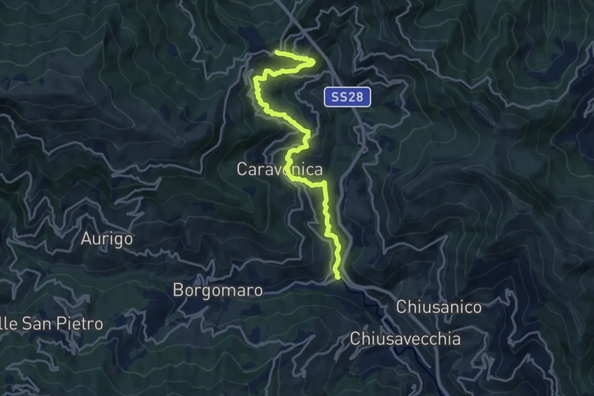
Demanding · Trail
Strada Reale
14.3 km · ↑ 811 m · 5 h 8 min · 15 km away