Trails near Induno Olona
260 hikes starting within 15 km, nearest first.
Nearest first, page 1 of 6
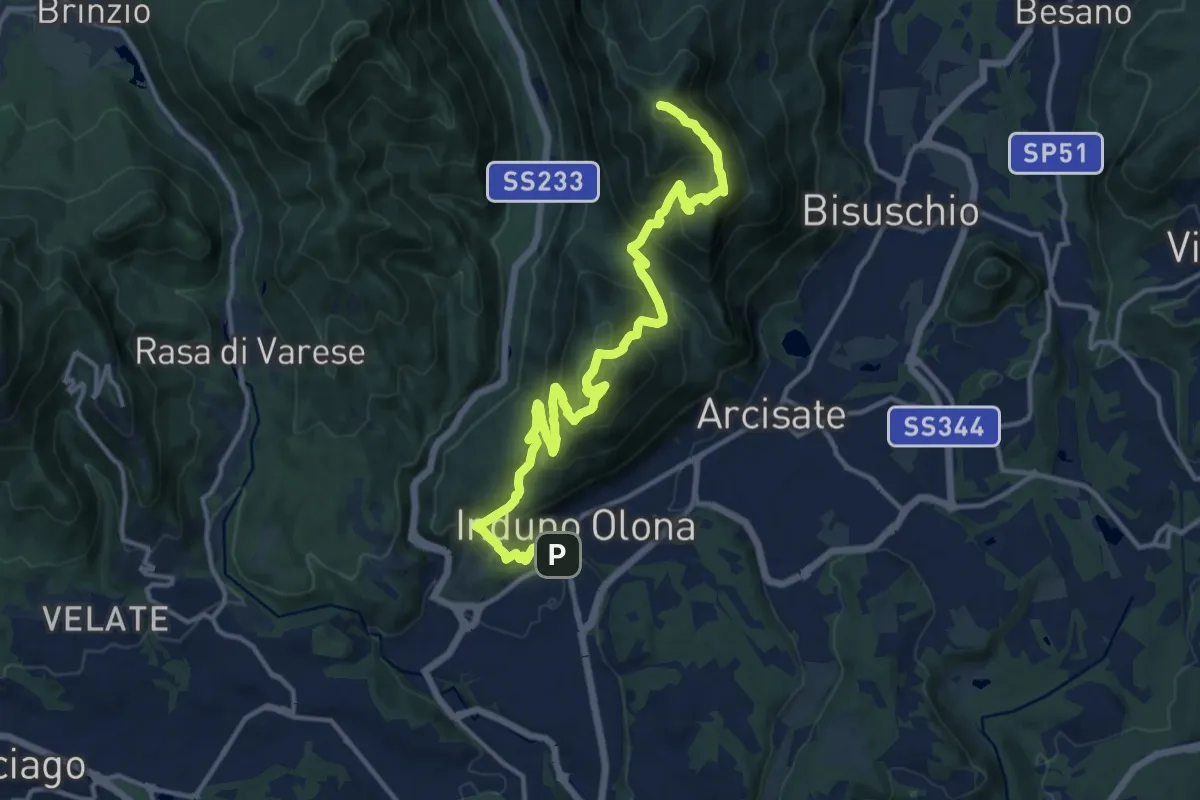
Demanding · Summit
Porto Ceresio – Induno Olona
16.4 km · ↑ 1108 m · 6 h 16 min · under 1 km away
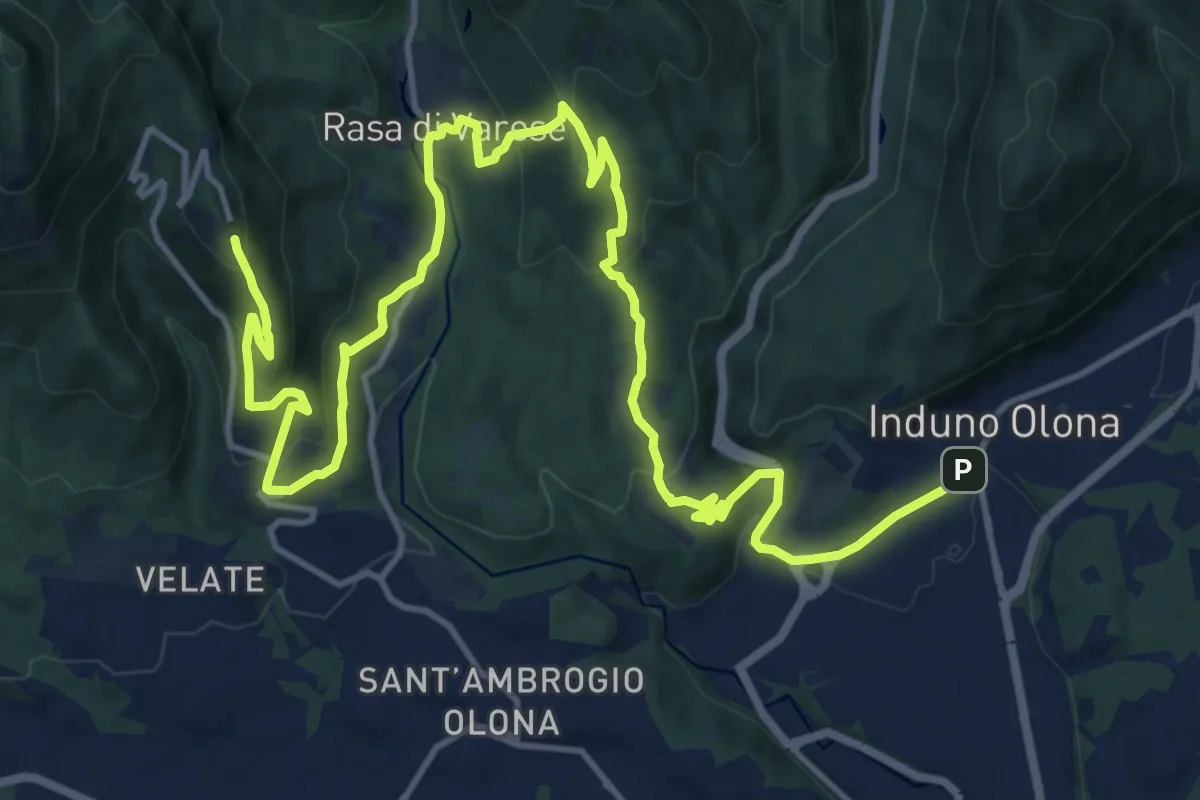
Demanding · Trail
Via Verde Varesina tappa 2
20.7 km · ↑ 902 m · 6 h 50 min · under 1 km away
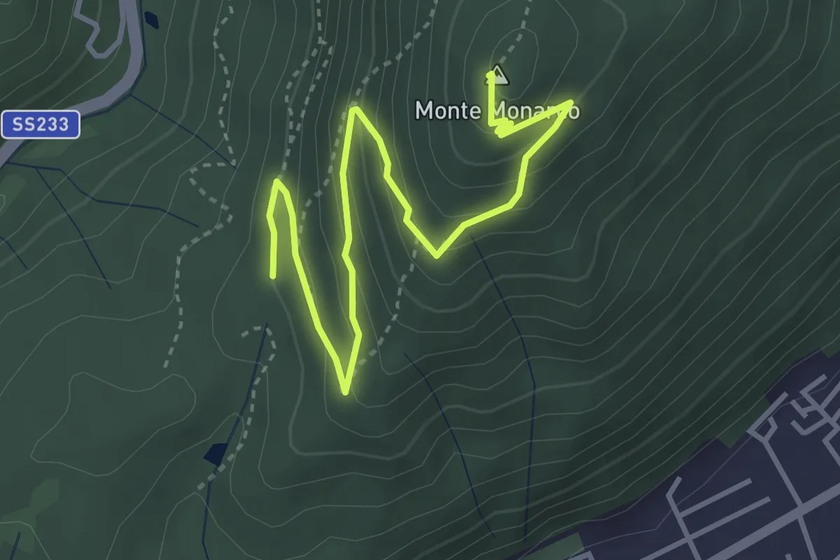
Medium · Summit
Induno Olona - Monte Monarco
4.3 km · ↑ 255 m · 1 h 34 min · 1 km away
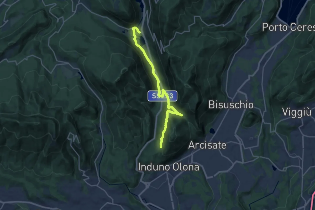
Medium · Trail
Ganna – Montallegro
14.8 km · ↑ 498 m · 4 h 34 min · 1 km away
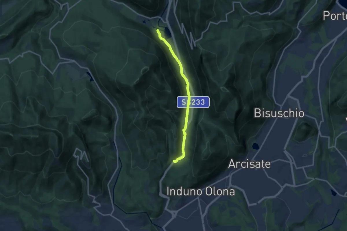
Medium · Trail
Valganna – Grotte di Valganna
9.6 km · ↑ 117 m · 2 h 31 min · 1 km away
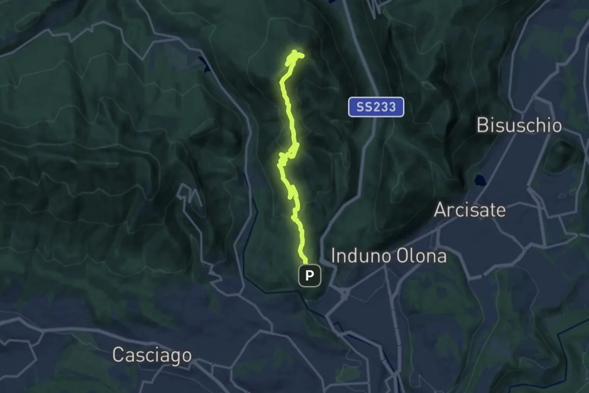
Medium · Summit
Bregazzana - Monte Martica
13.7 km · ↑ 692 m · 4 h 44 min · 2 km away
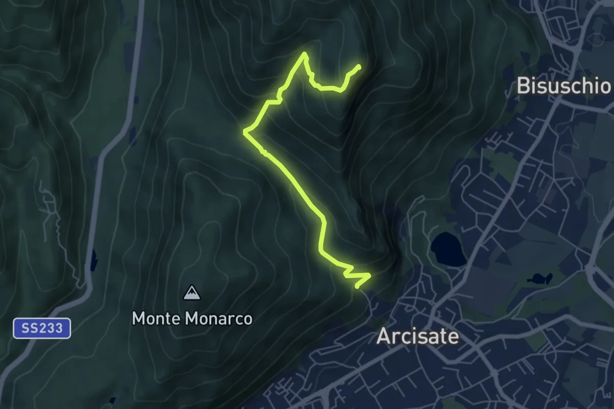
Medium · Summit
Arcisate - Monte Rho d'Arcisate
5.7 km · ↑ 441 m · 2 h 17 min · 2 km away
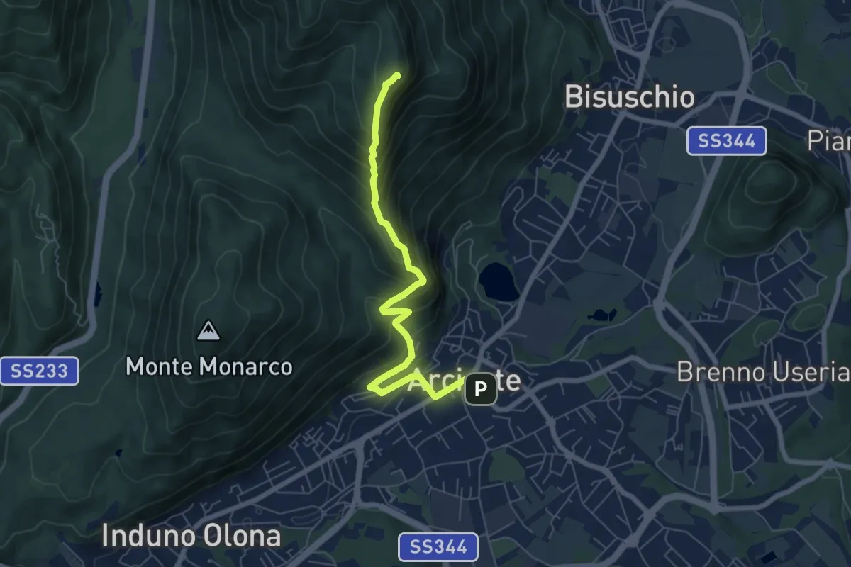
Demanding · Summit
Arcisate – Monte Rho
6.4 km · ↑ 543 m · 2 h 41 min · 2 km away
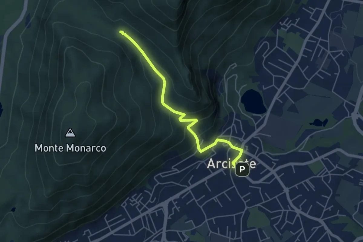
Easy · Trail
Arcisate – Passo del Vescovo
4.6 km · ↑ 243 m · 1 h 37 min · 2 km away
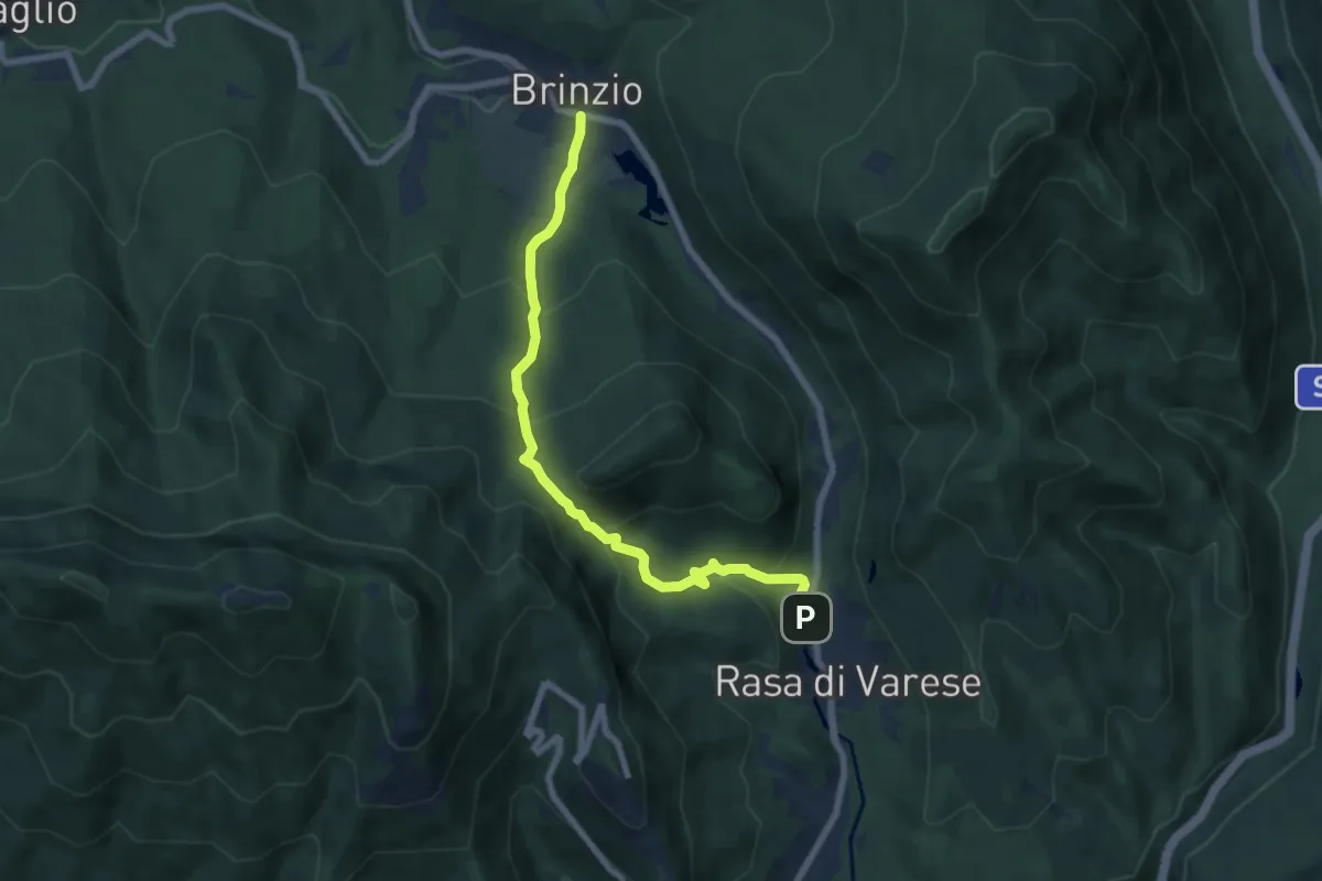
Medium · Trail
Brinzio (Via Piave) – Rasa di Varese
7.3 km · ↑ 476 m · 2 h 46 min · 3 km away
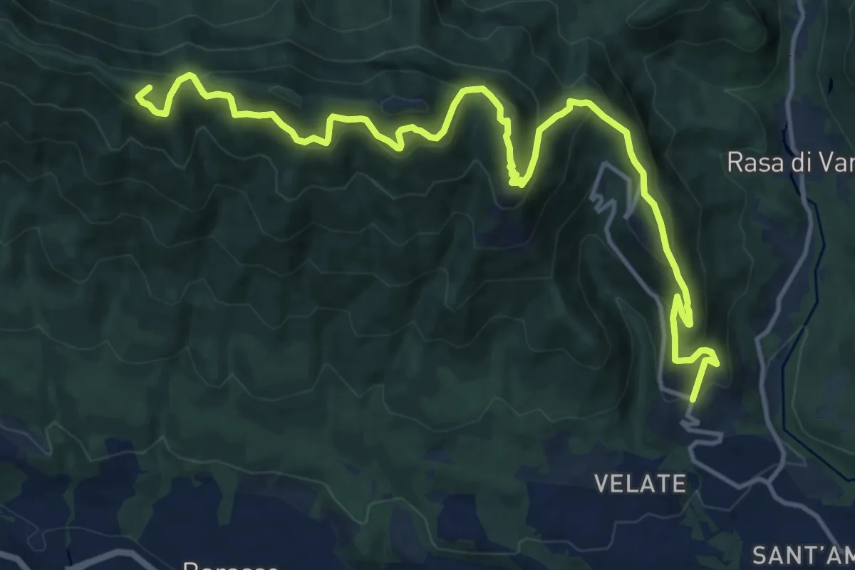
Demanding · Summit
Varese (località Prima Cappella) – Forte di Orino
16.1 km · ↑ 966 m · 5 h 54 min · 3 km away
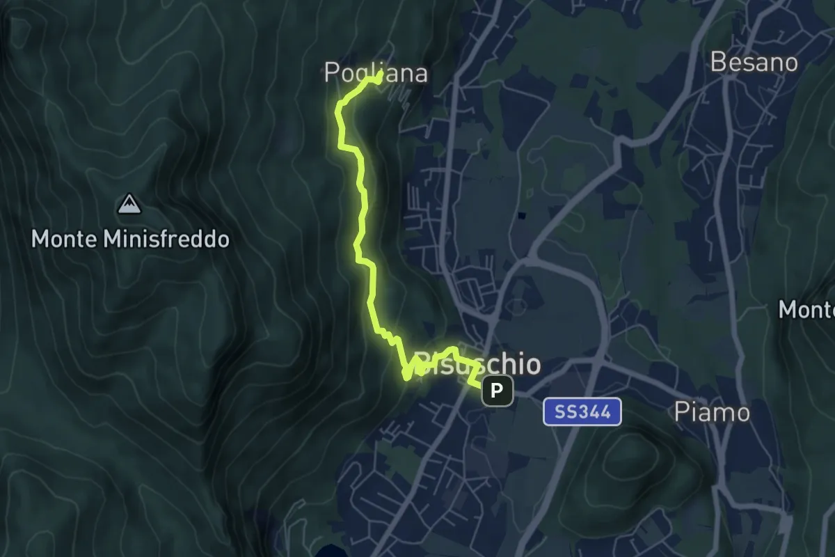
Demanding · Trail
Bisuschio – Pogliana
5.8 km · ↑ 276 m · 1 h 58 min · 4 km away
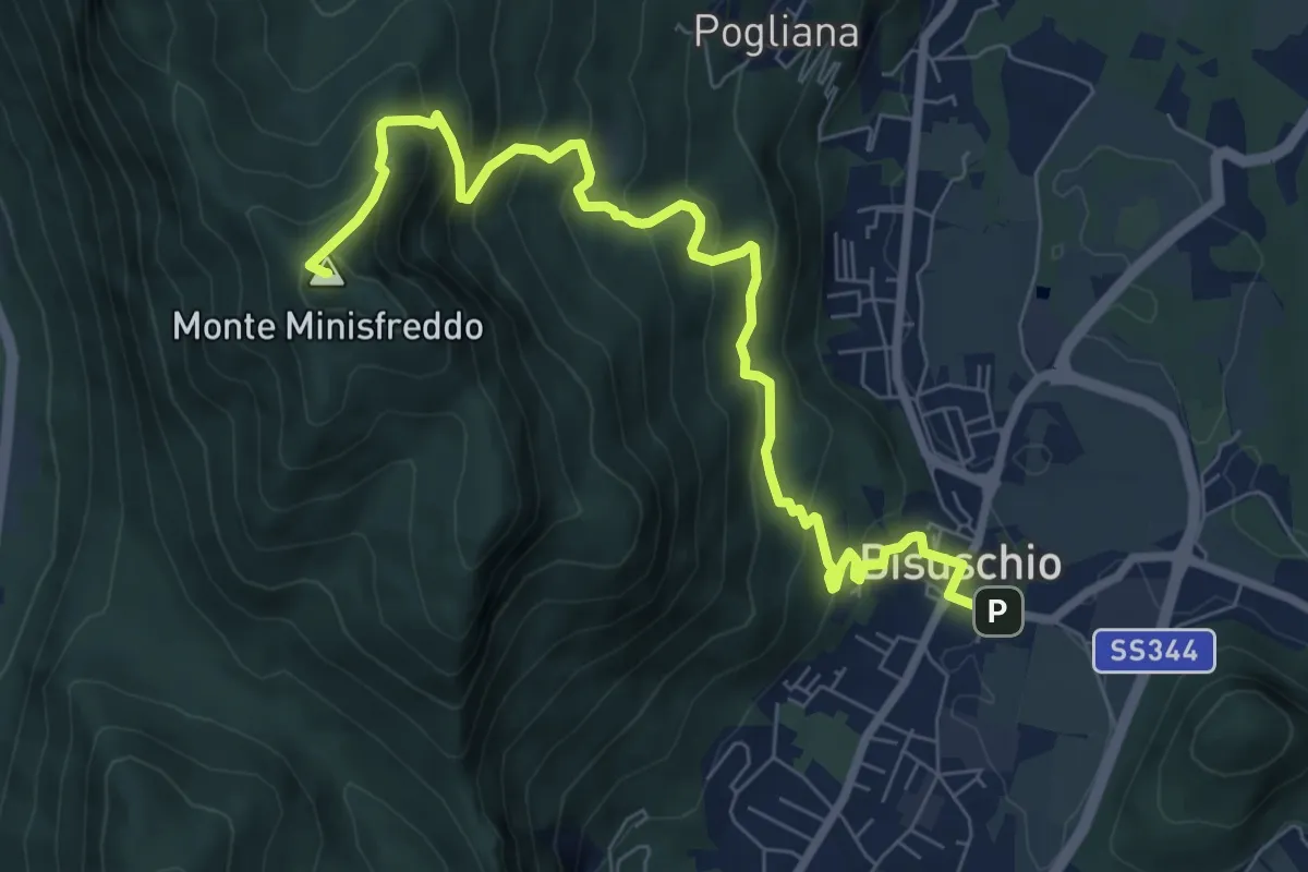
Demanding · Summit
Bisuschio – M.Minisfreddo
8.7 km · ↑ 711 m · 3 h 35 min · 4 km away
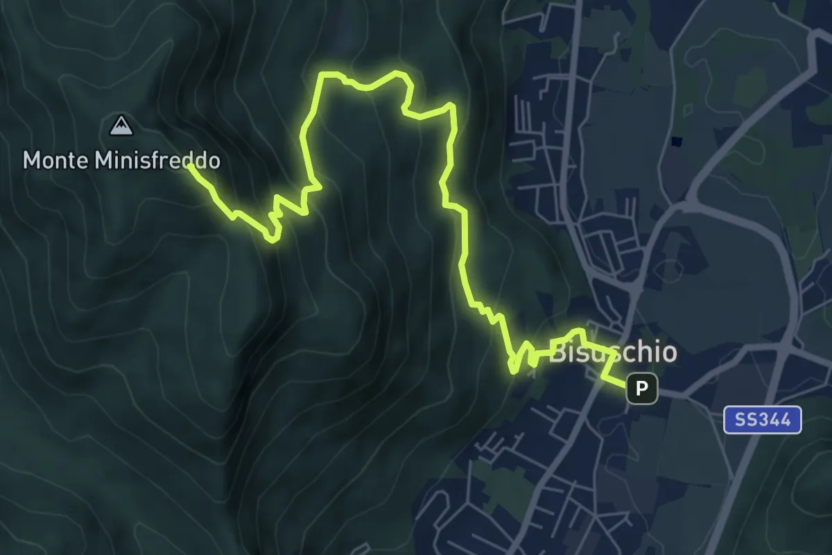
Demanding · Summit
Bisuschio – M. San Bernardo
8.2 km · ↑ 674 m · 3 h 23 min · 4 km away
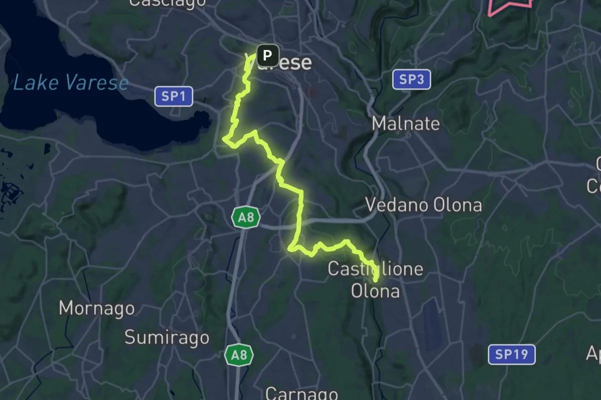
Medium · Trail
Via Francisca del Lucomagno: Tappa 3
14.5 km · ↑ 239 m · 4 h 11 min · 4 km away
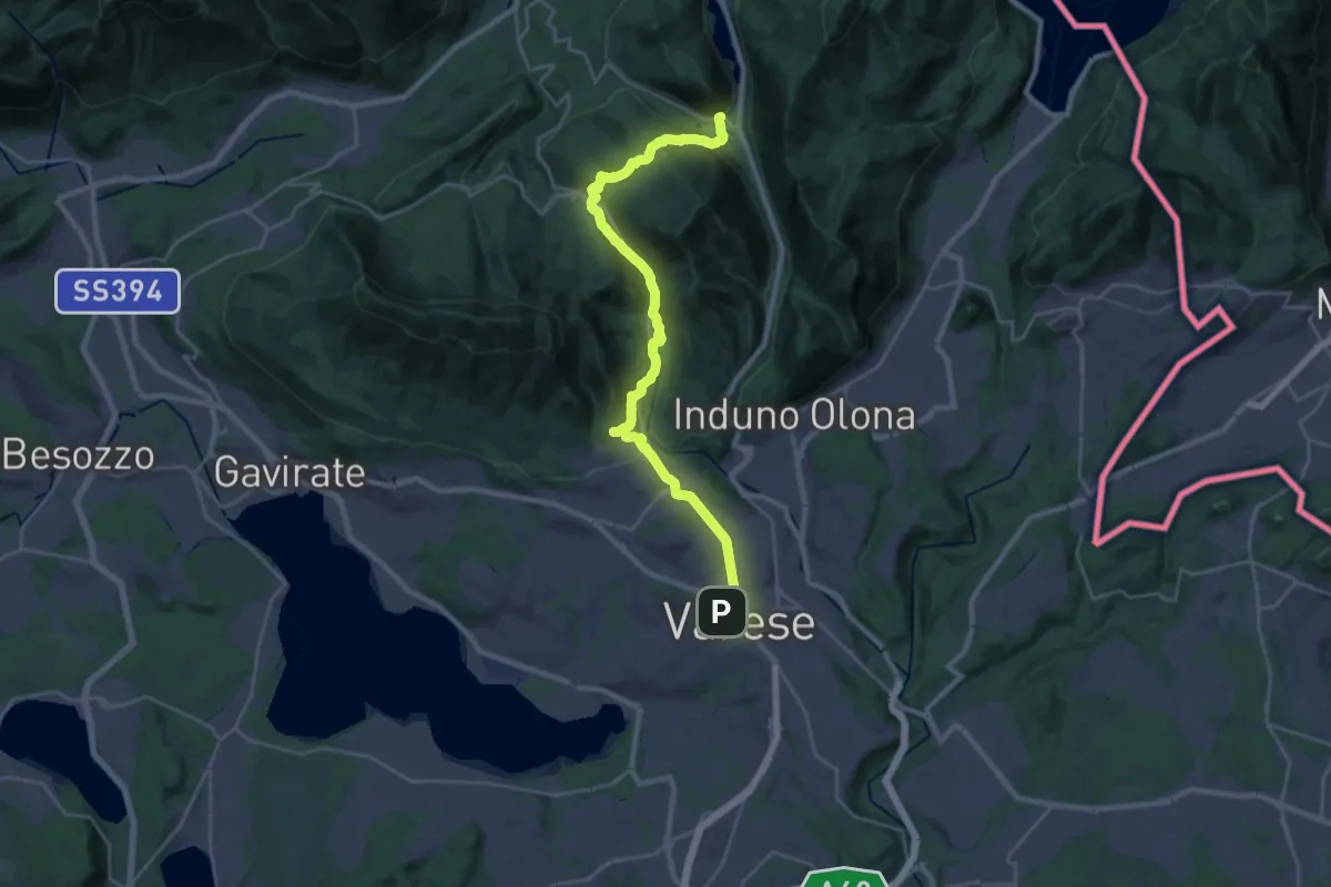
Demanding · Trail
Via Francisca del Lucomagno: Tappa 2
14.7 km · ↑ 465 m · 4 h 38 min · 4 km away
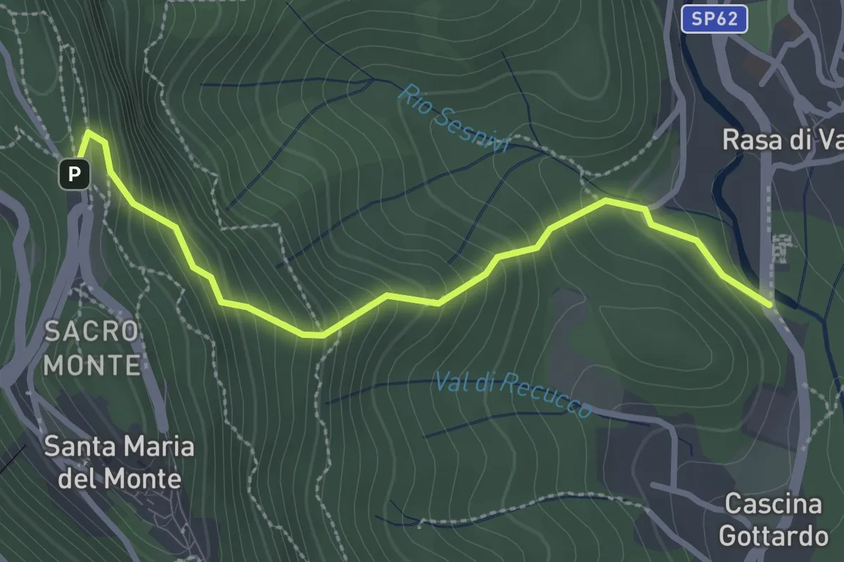
Medium · Trail
Rasa di Varese – Santa Maria del Monte
2.8 km · ↑ 280 m · 1 h 16 min · 4 km away
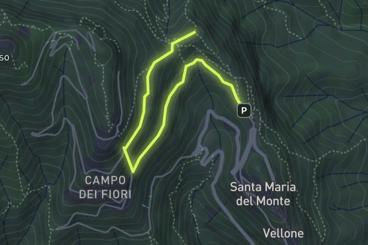
Medium · Summit
Sentiero 8/308: Santa Maria del Monte - Valico Pizzelle
4.5 km · ↑ 301 m · 1 h 43 min · 4 km away
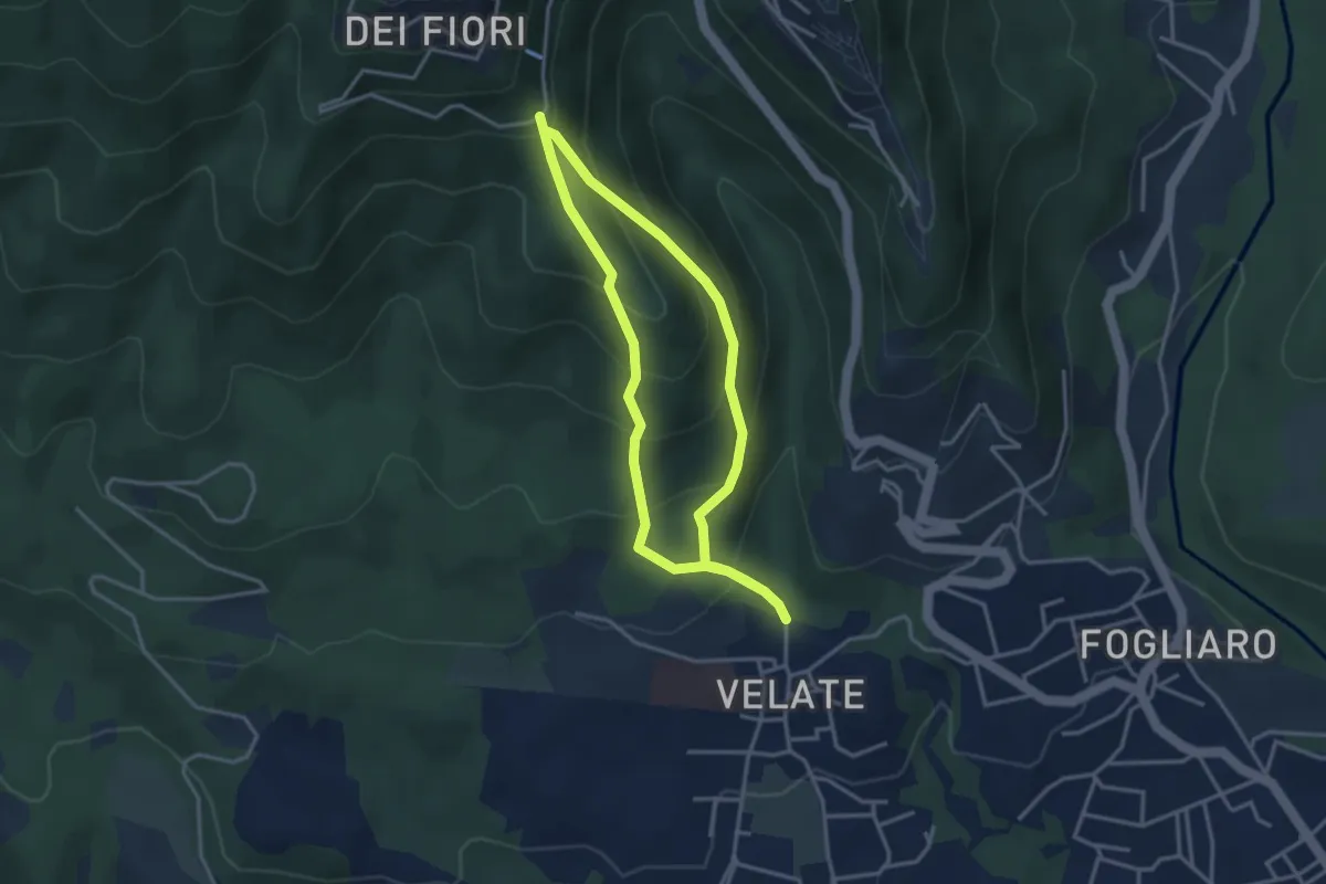
Medium · Summit
Sentiero 309: Velate - Monte San Francesco - Velate
3.1 km · ↑ 281 m · 1 h 22 min · 4 km away
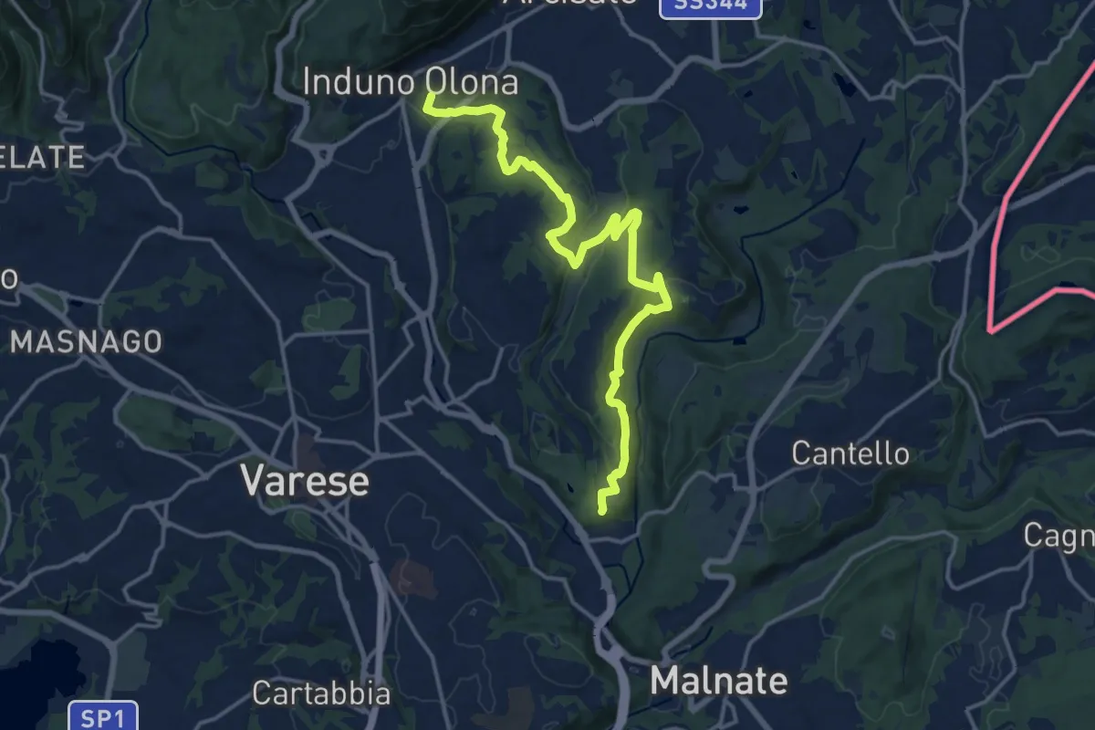
Medium · Summit
Induno Olona – Cascina Mentasti
16.8 km · ↑ 456 m · 4 h 57 min · 5 km away
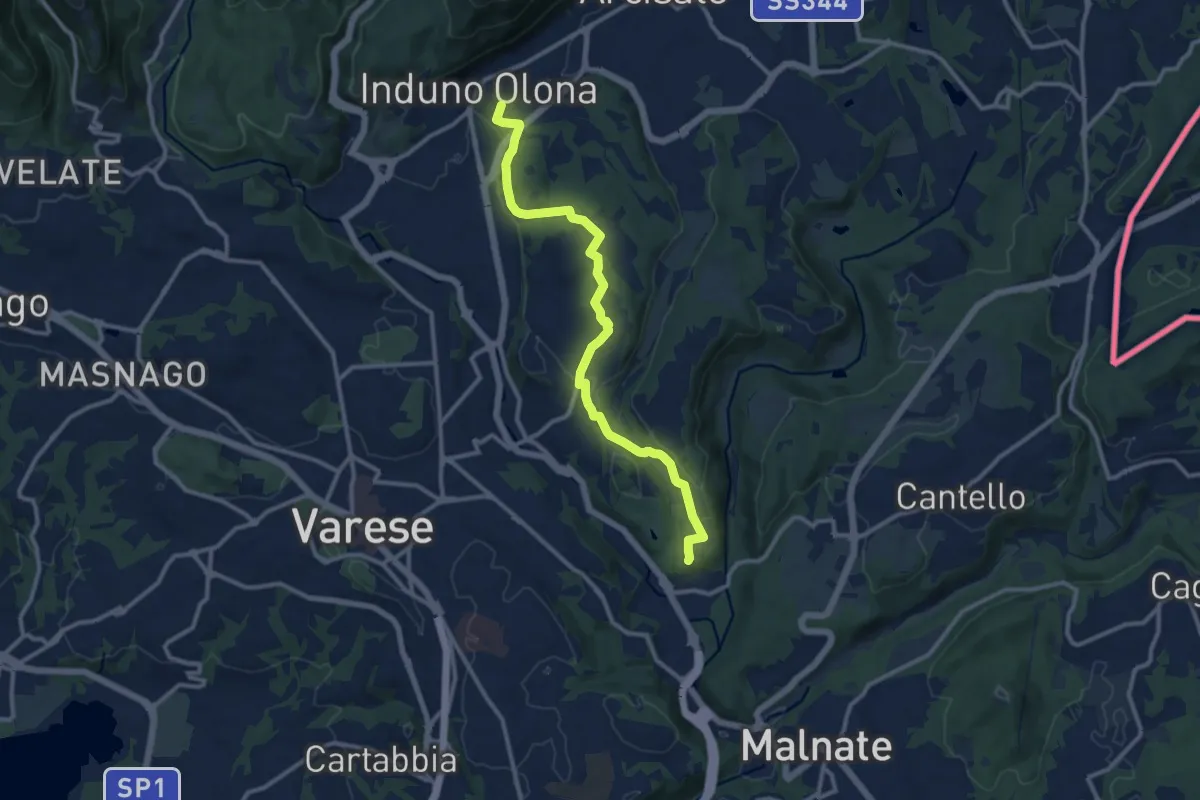
Medium · Summit
Induno Olona – Cascina Mentasti
11.7 km · ↑ 226 m · 3 h 16 min · 5 km away
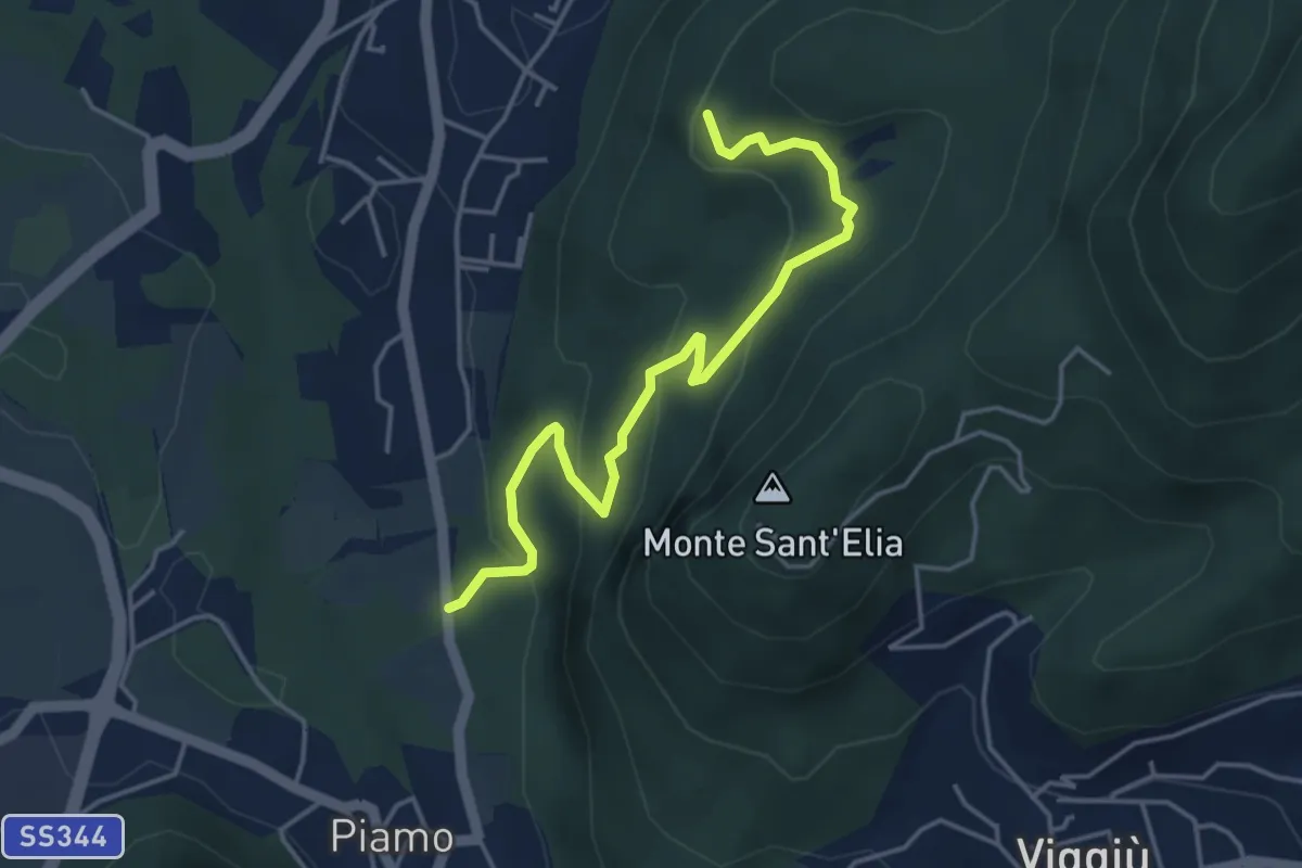
Medium · Summit
Variante Bernasca – Besano SP51
4.5 km · ↑ 236 m · 1 h 35 min · 5 km away
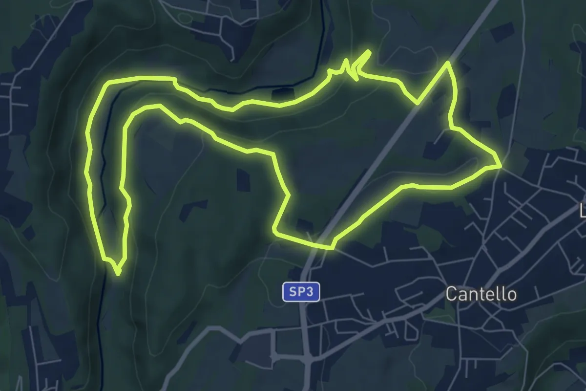
Medium · Trail
Varese via Ca' Bassa Anello della Bevera – Varese via Ca' Bassa Anello della Bevera
8.0 km · ↑ 188 m · 2 h 25 min · 5 km away
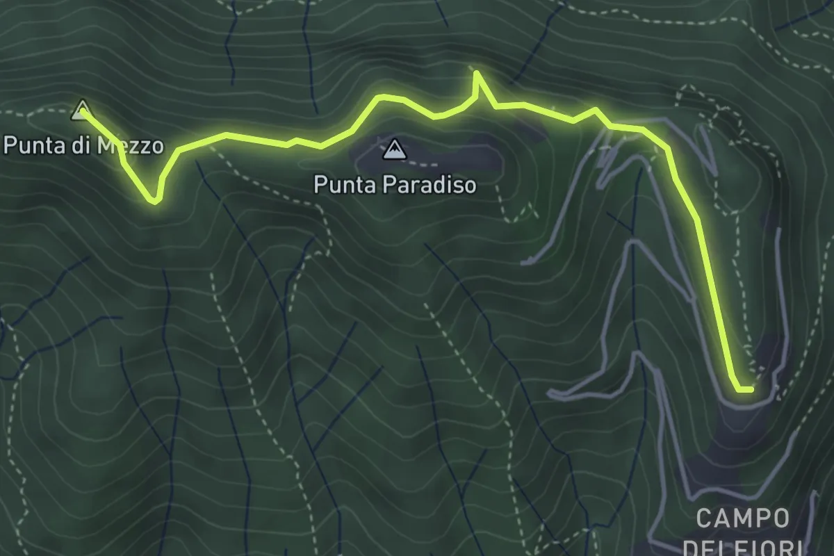
Medium · Summit
Campo dei Fiori (ex stazione funicolare) – Strada militare del Forte di Orino (incrocio sentiero 1)
4.6 km · ↑ 377 m · 1 h 55 min · 5 km away
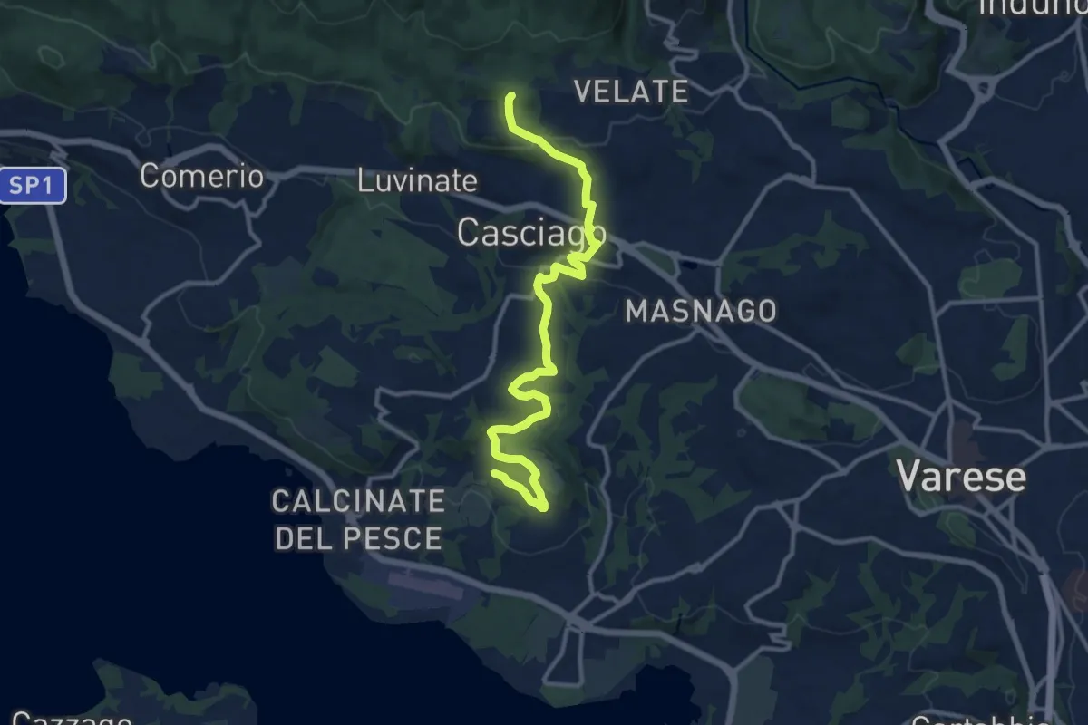
Medium · Trail
Morosolo – Sentiero 310A
12.2 km · ↑ 266 m · 3 h 28 min · 5 km away
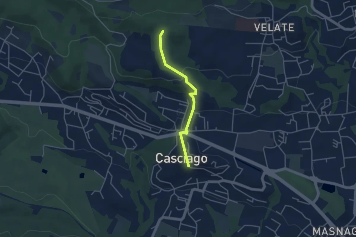
Easy · Trail
Sentiero 321C
3.0 km · ↑ 95 m · 54 min · 5 km away
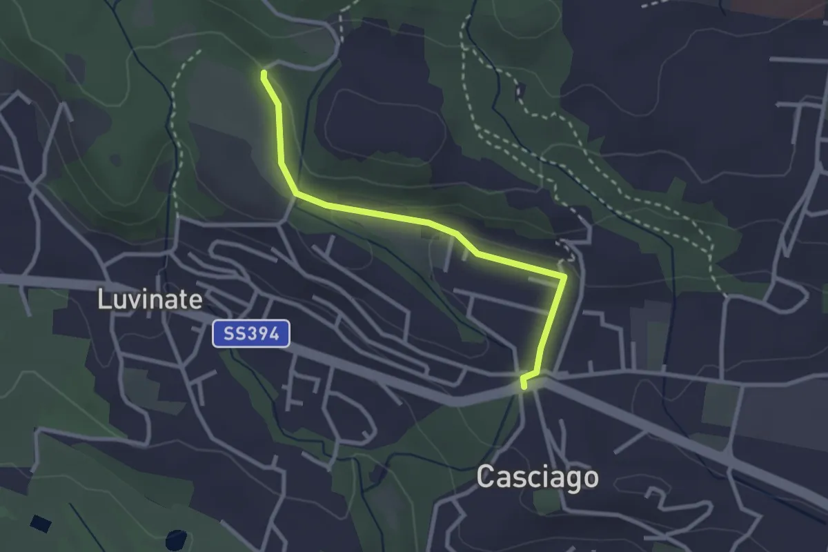
Easy · Trail
Casciago – Sentiero 310A
2.6 km · ↑ 51 m · 43 min · 5 km away
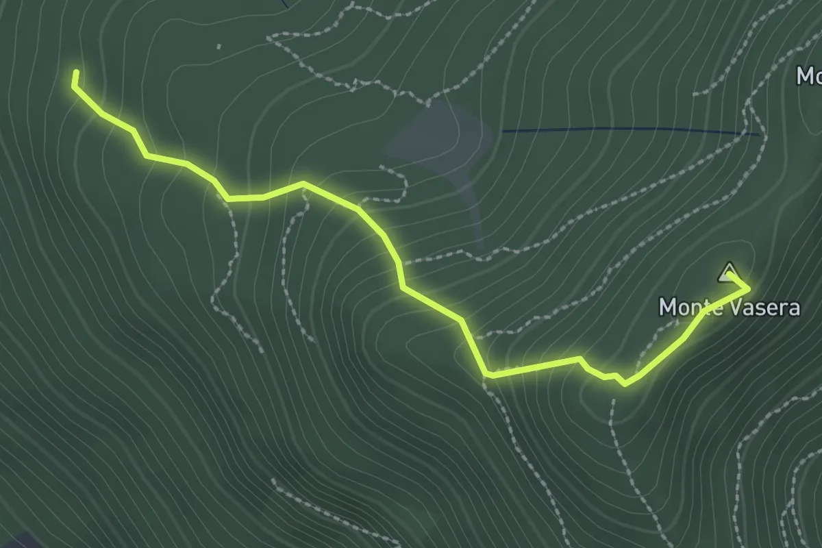
Medium · Summit
Brinzio - Monte Martica
2.6 km · ↑ 276 m · 1 h 13 min · 5 km away
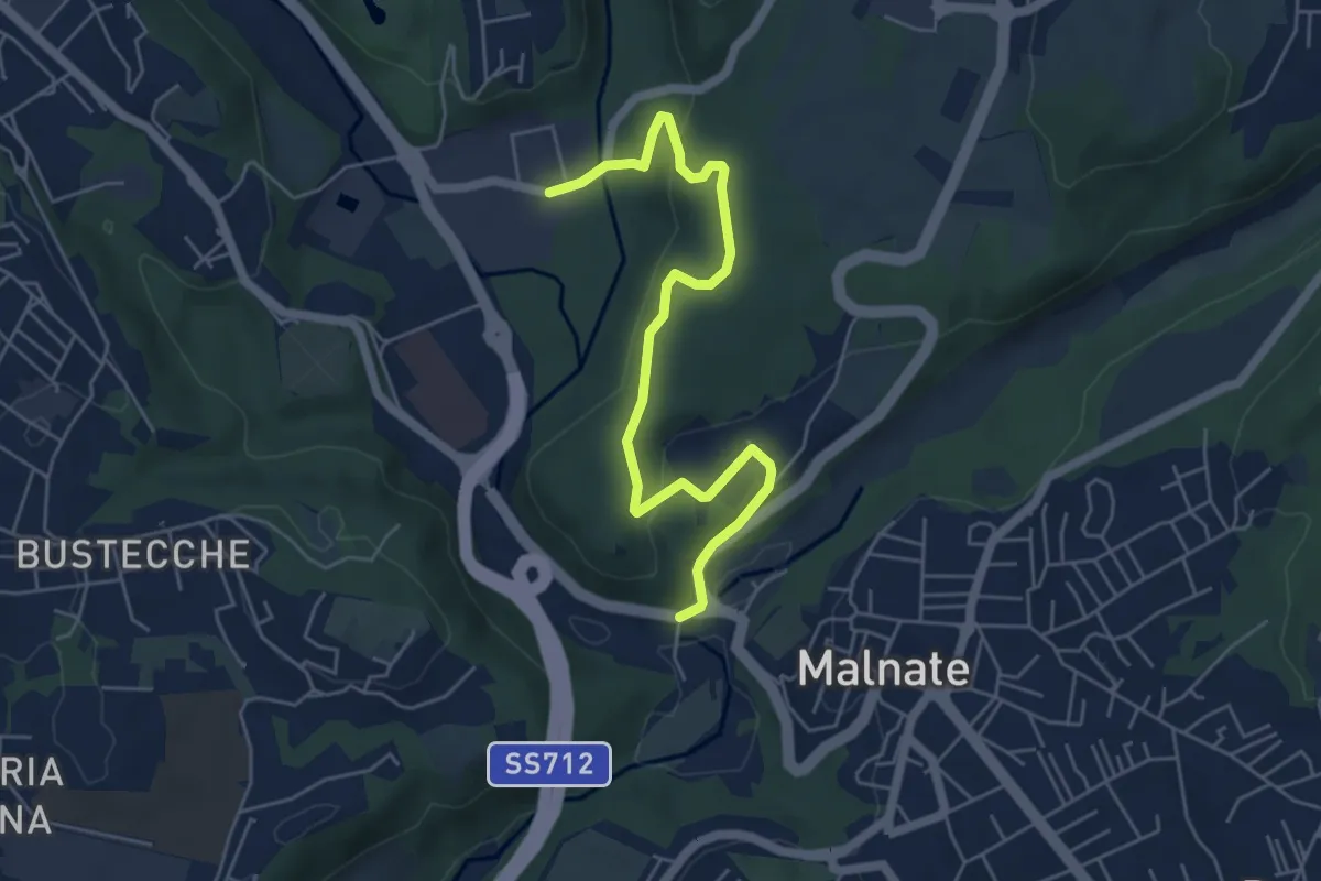
Easy · Trail
Varese via Ca' Bassa – Folla di Malnate
6.0 km · ↑ 159 m · 1 h 45 min · 5 km away
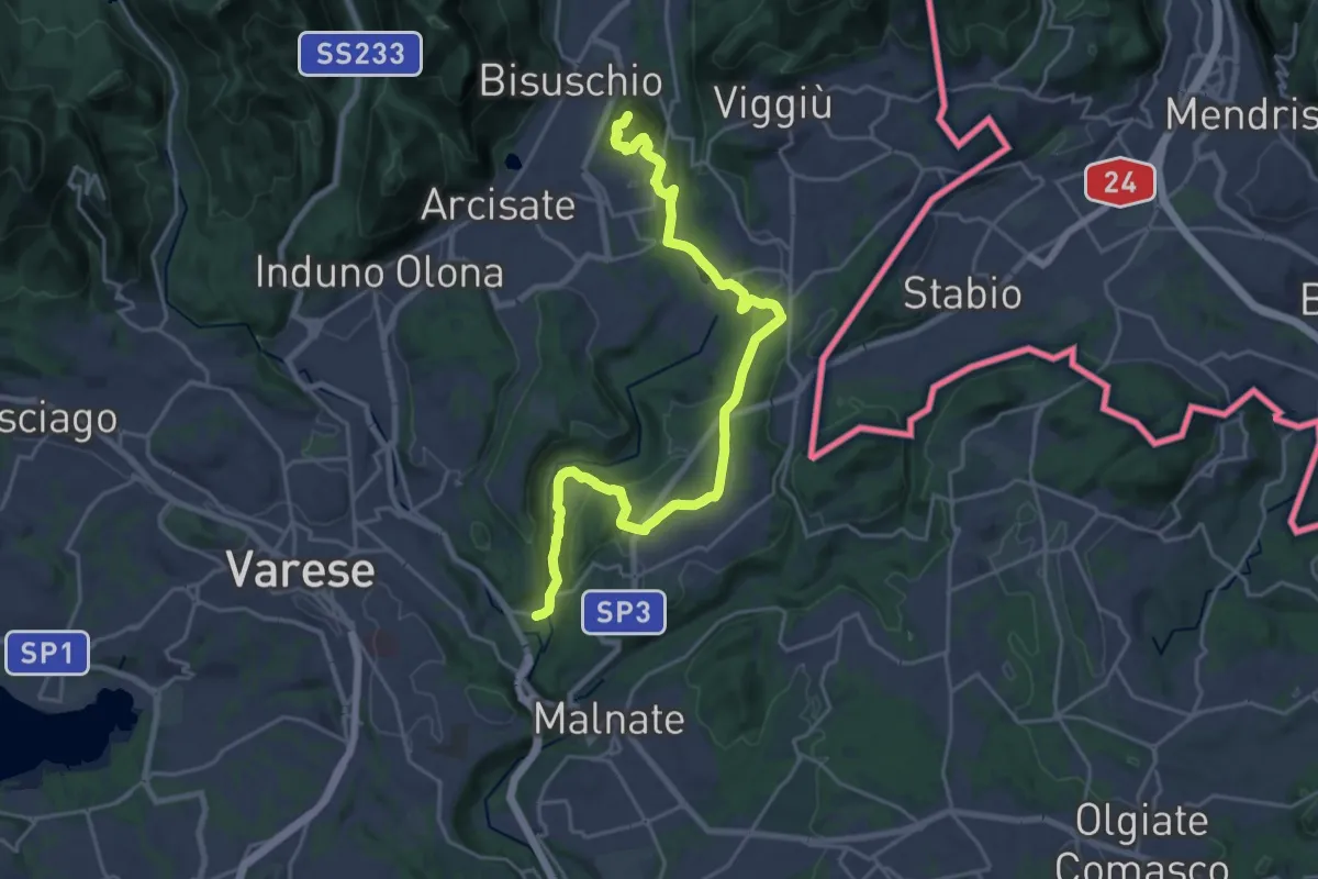
Demanding · Summit
Varese via Ca' Bassa – Monte Useria
24.6 km · ↑ 570 m · 7 h 3 min · 5 km away
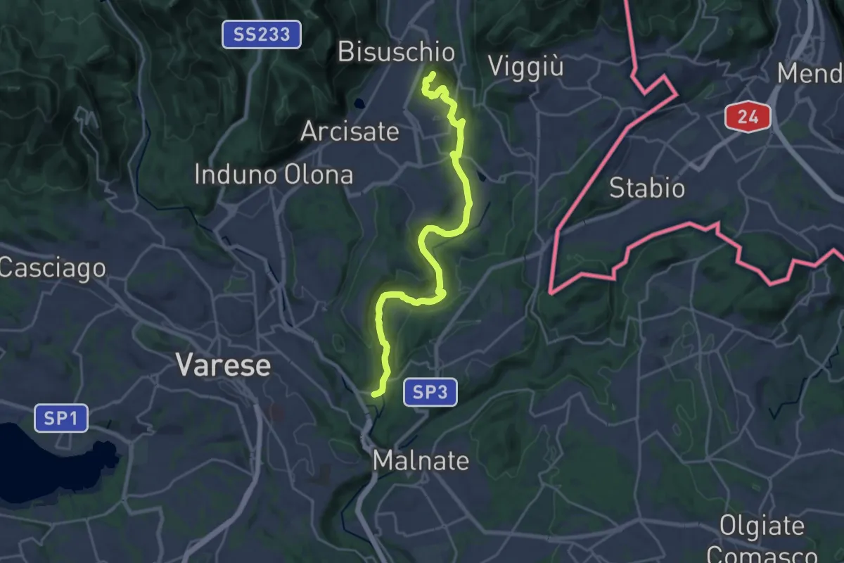
Demanding · Summit
Ca' Bassa – Monte Useria
20.8 km · ↑ 446 m · 5 h 53 min · 5 km away
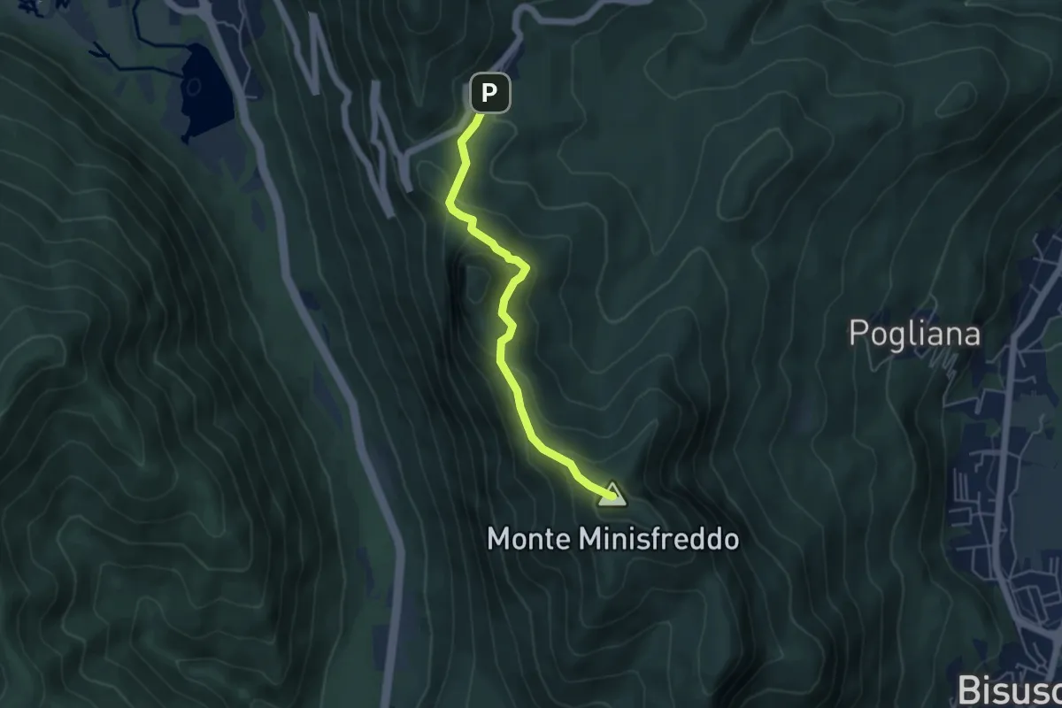
Demanding · Summit
Alpe Tedesco - Monte Rho d'Arcisate
4.5 km · ↑ 345 m · 1 h 48 min · 5 km away
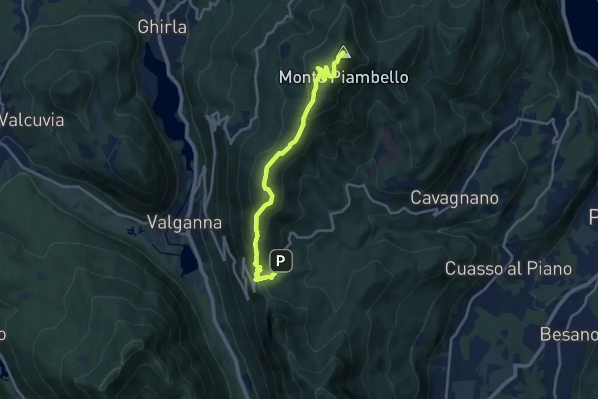
Medium · Summit
Alpe Tedesco – Monte Piambello
9.4 km · ↑ 459 m · 3 h 13 min · 5 km away
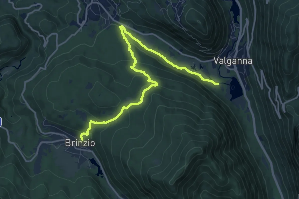
Medium · Trail
Brinzio – Valganna
11.4 km · ↑ 409 m · 3 h 34 min · 5 km away
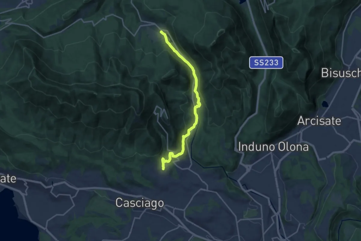
Medium · Trail
Brinzio – Velate
12.9 km · ↑ 355 m · 3 h 49 min · 5 km away
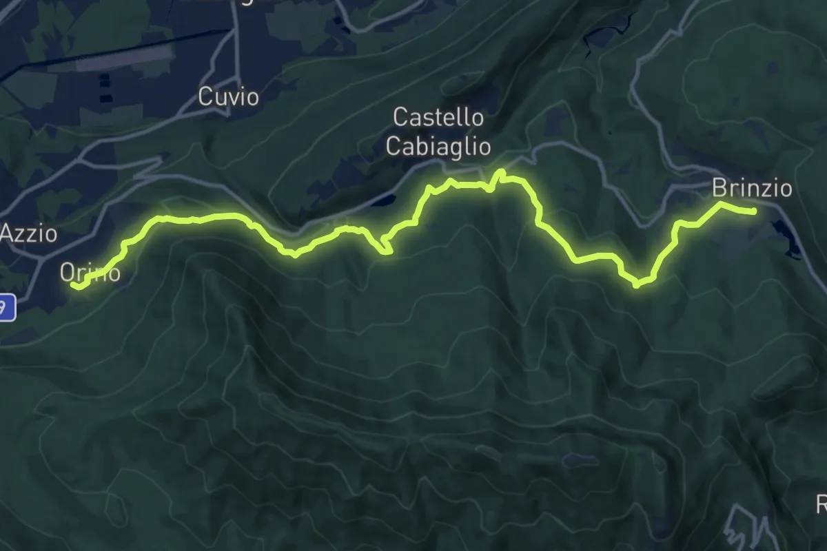
Medium · Trail
Orino, Piazza XI Febbraio – Brinzio, Via Piave
16.3 km · ↑ 703 m · 5 h 22 min · 5 km away
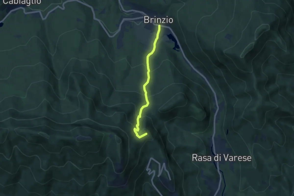
Medium · Summit
Brinzio – Valico Pizzelle
5.5 km · ↑ 420 m · 2 h 13 min · 5 km away
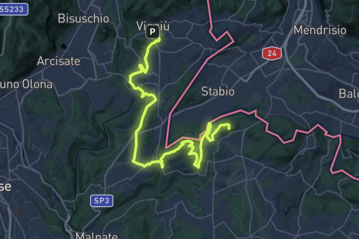
Demanding · Summit
Viggiù (Piazza Europa) – Bizzarone
32.7 km · ↑ 911 m · 9 h 42 min · 5 km away
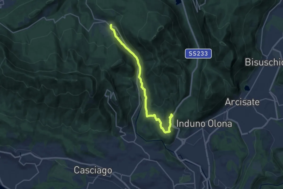
Medium · Trail
Bregazzana – Brinzio
13.4 km · ↑ 310 m · 3 h 50 min · 6 km away
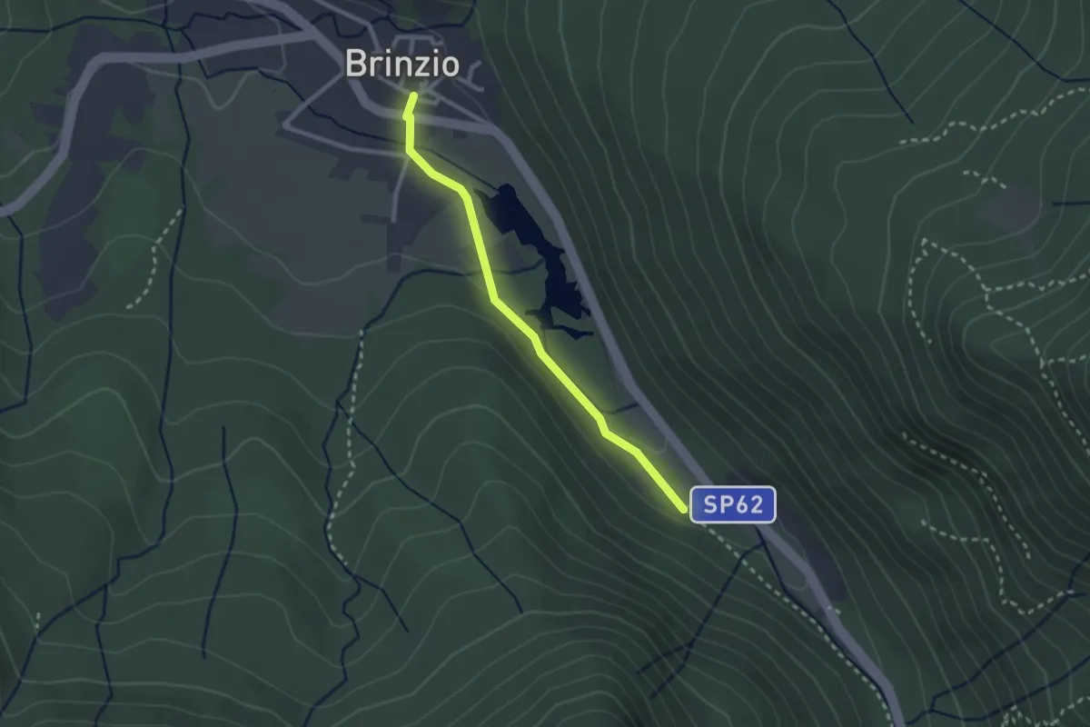
Easy · Trail
Lago di Brinzio
2.4 km · ↑ 43 m · 39 min · 6 km away
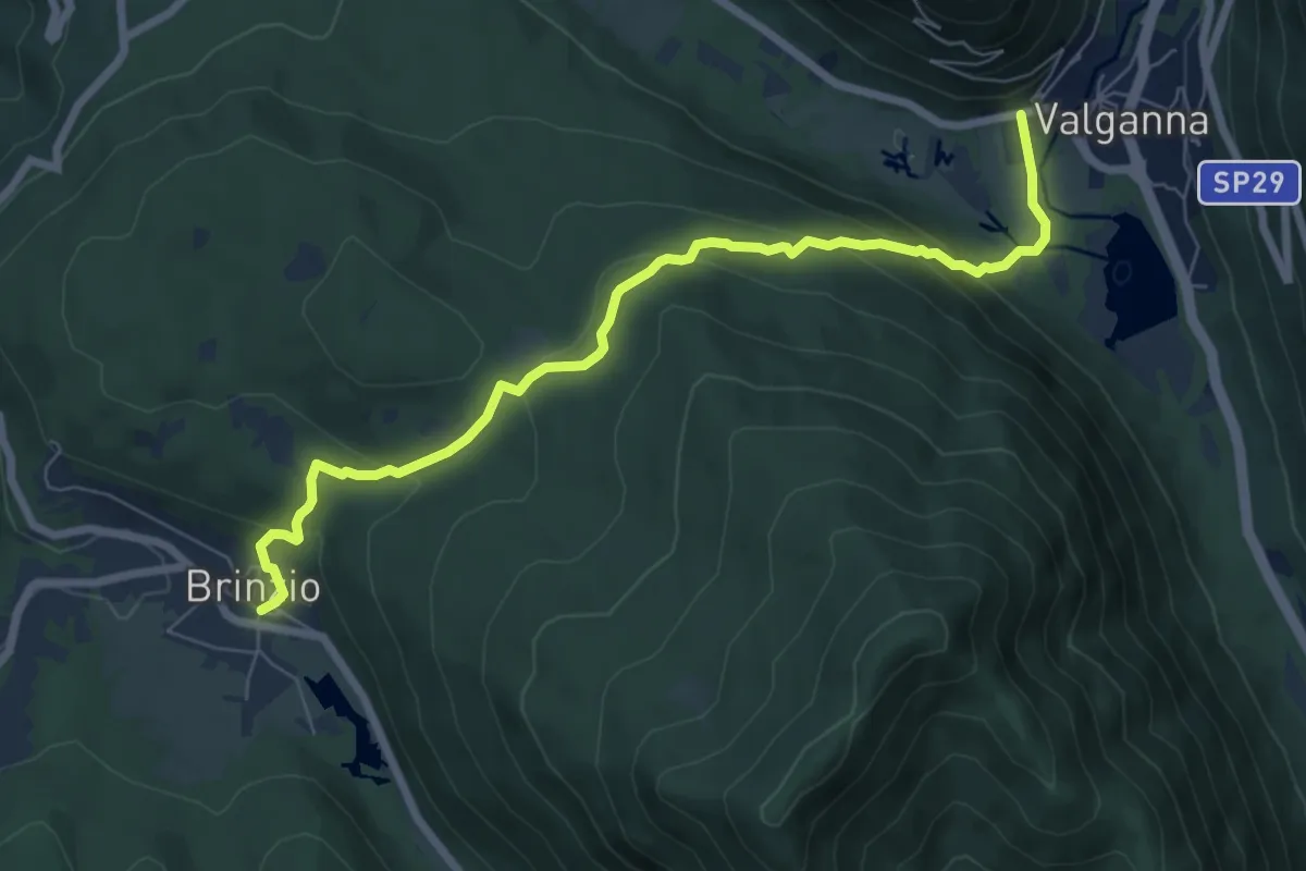
Demanding · Trail
315 - Brinzio-Badia di Ganna
7.7 km · ↑ 372 m · 2 h 37 min · 6 km away
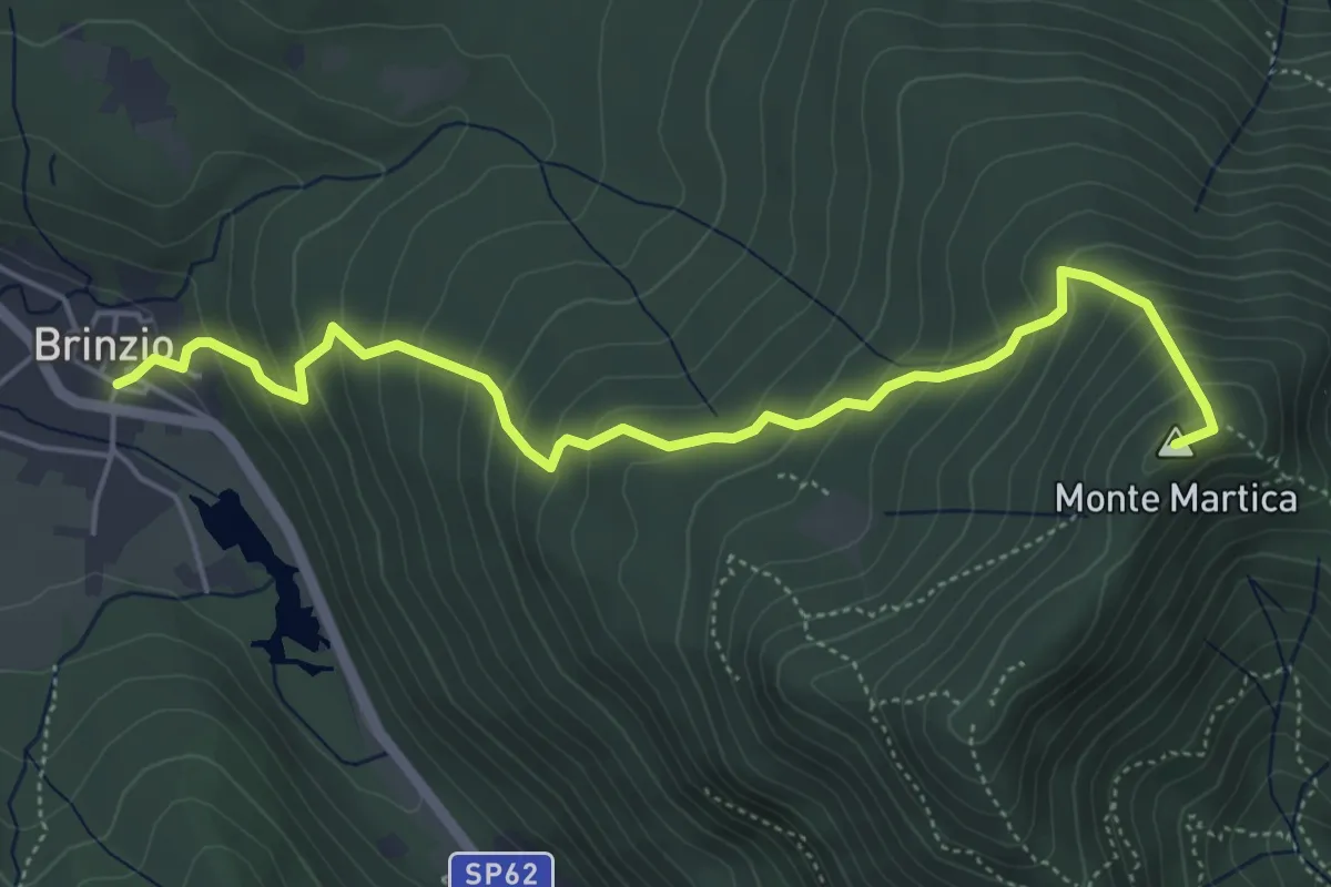
Medium · Summit
Brinzio - Monte Martica
5.6 km · ↑ 501 m · 2 h 25 min · 6 km away
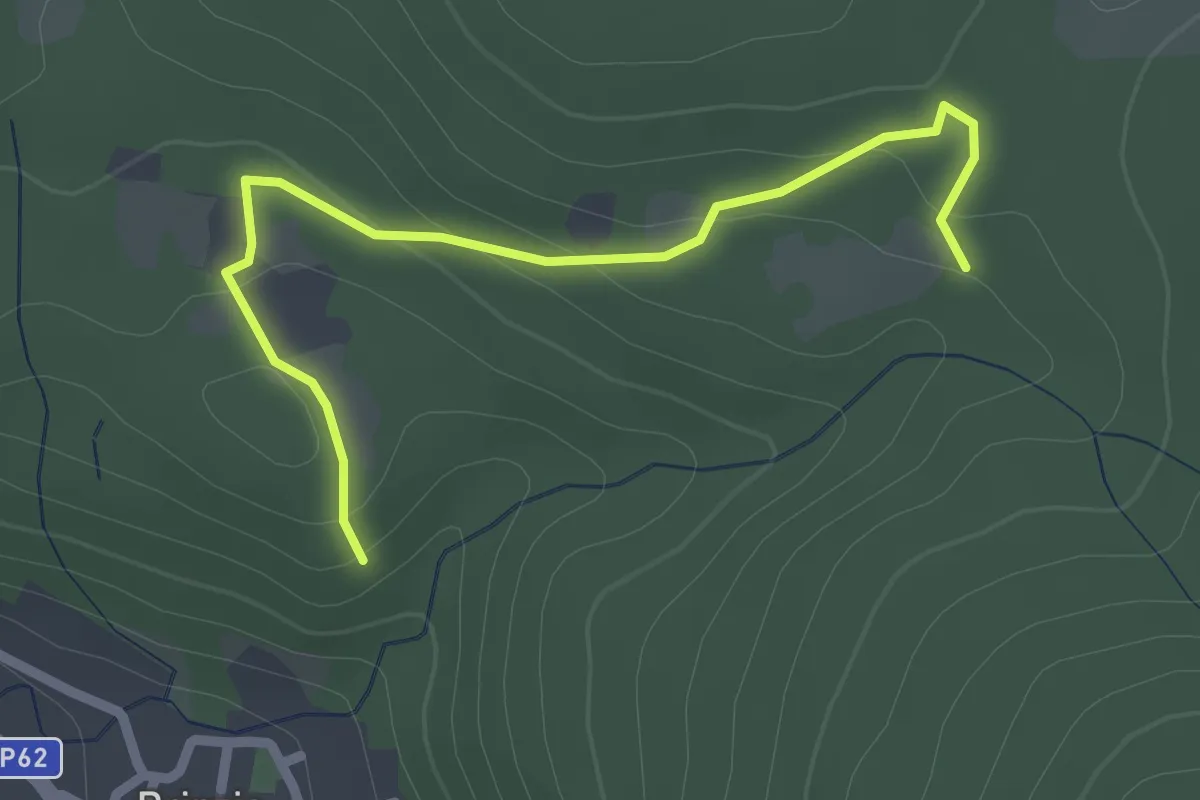
Easy · Trail
Sentiero 315B collegamento
2.6 km · ↑ 83 m · 47 min · 6 km away
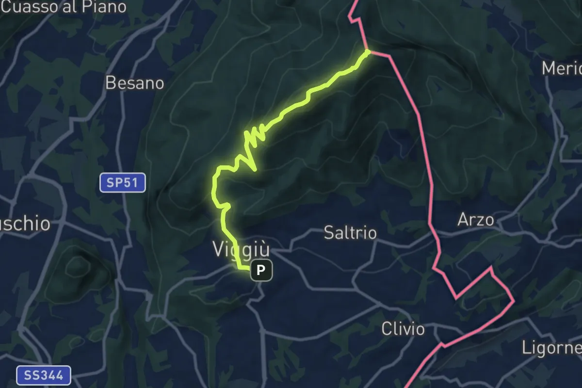
Medium · Summit
Viggiu' – Monte Pravello
9.9 km · ↑ 605 m · 3 h 39 min · 6 km away
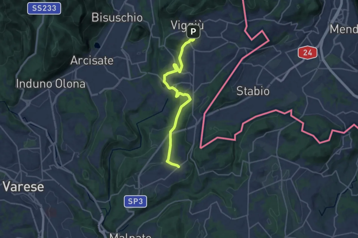
Medium · Trail
Viggiù – Cantello (Ligurno)
15.8 km · ↑ 332 m · 4 h 27 min · 6 km away
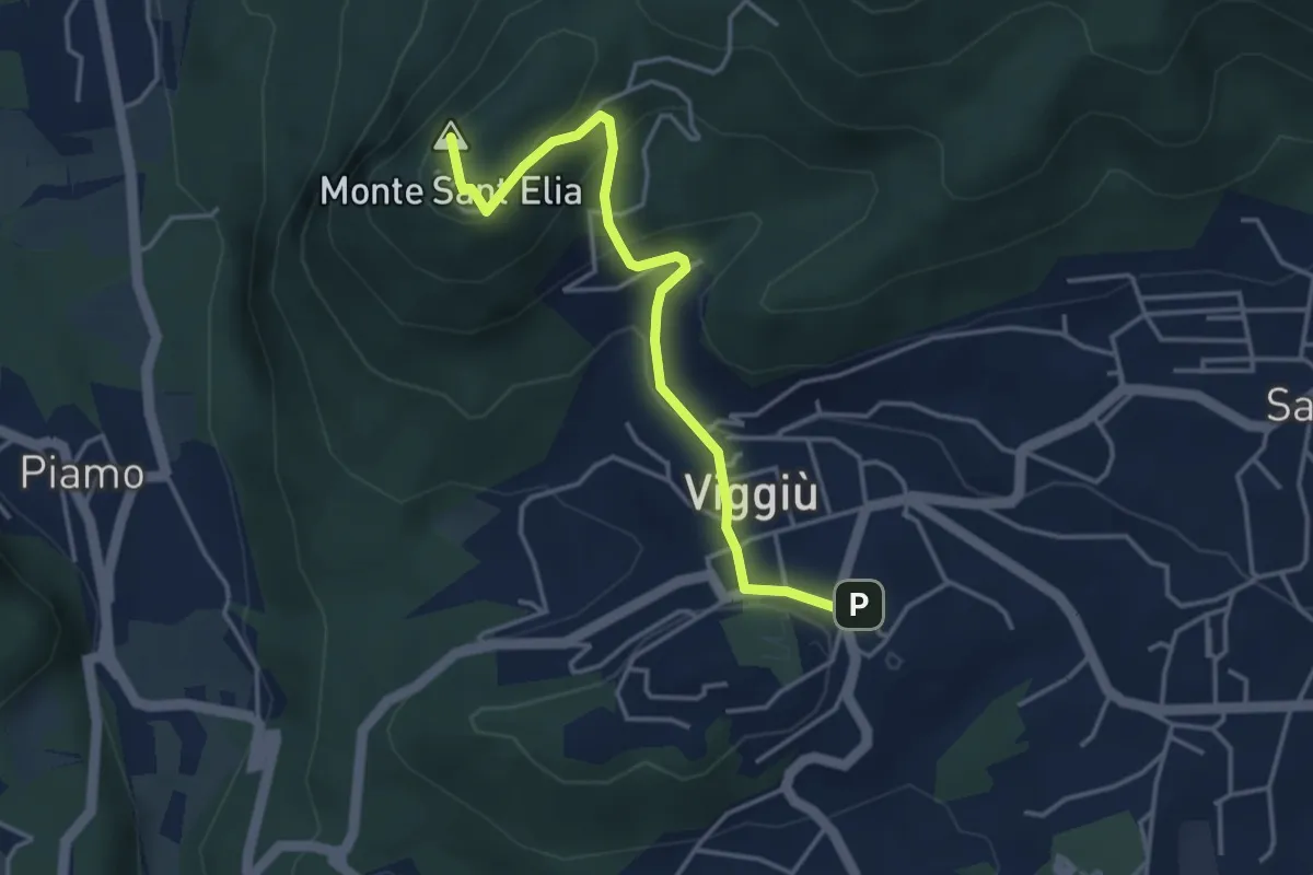
Medium · Summit
Viggiu' – Colle Sant'Elia
4.1 km · ↑ 180 m · 1 h 21 min · 6 km away
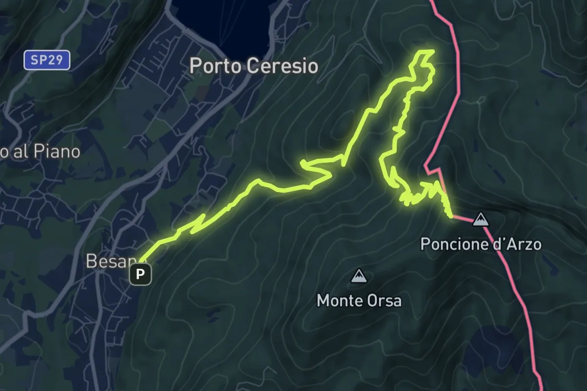
Demanding · Summit
Besano – Monte Pravello
15.0 km · ↑ 1031 m · 5 h 46 min · 6 km away
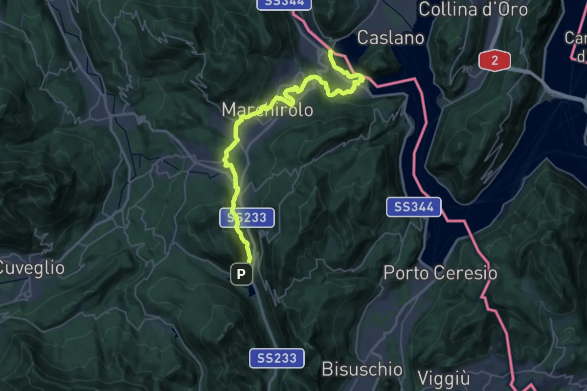
Demanding · Trail
Via Francisca del Lucomagno: Tappa 1
28.2 km · ↑ 503 m · 7 h 45 min · 6 km away