Trails near Induno Olona
260 hikes starting within 15 km, nearest first.
Nearest first, page 6 of 6
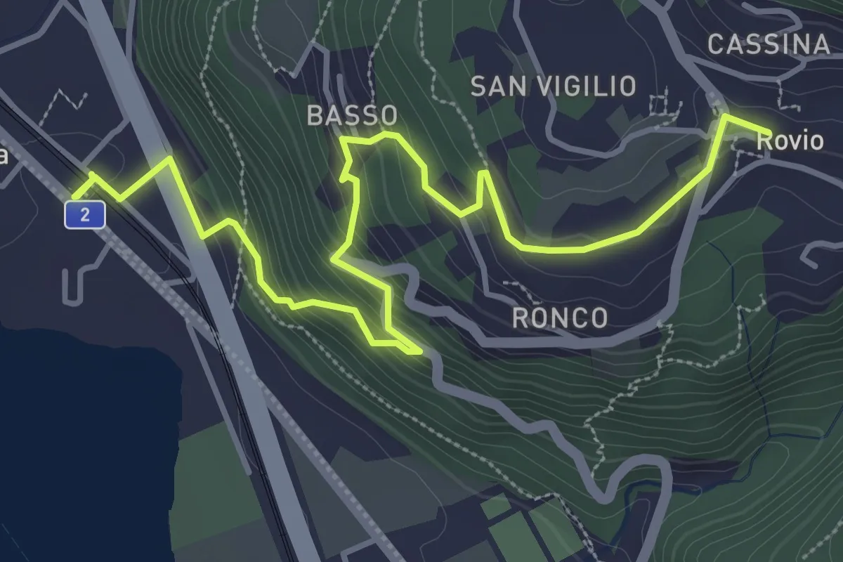
Medium · Trail
Rovio Posta – Maroggia St.ne
4.6 km · ↑ 328 m · 1 h 47 min · 15 km away
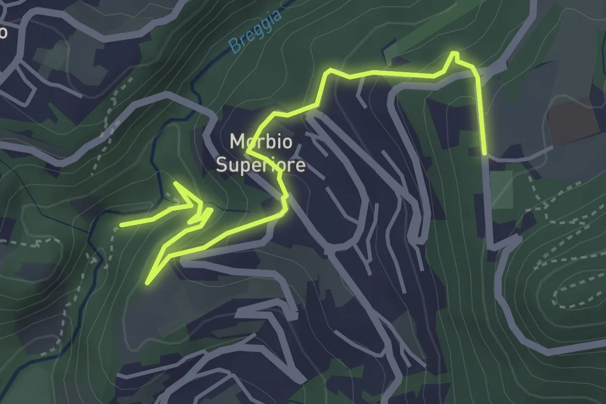
Easy · Trail
Parco Gole della Breggia – Lattecaldo
4.6 km · ↑ 292 m · 1 h 43 min · 15 km away
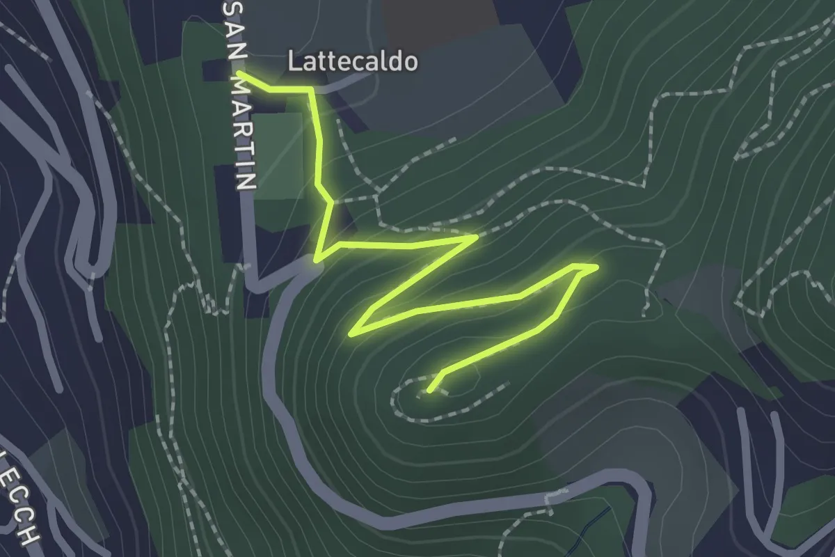
Easy · Trail
Lattecaldo – San Martino
2.3 km · ↑ 138 m · 51 min · 15 km away
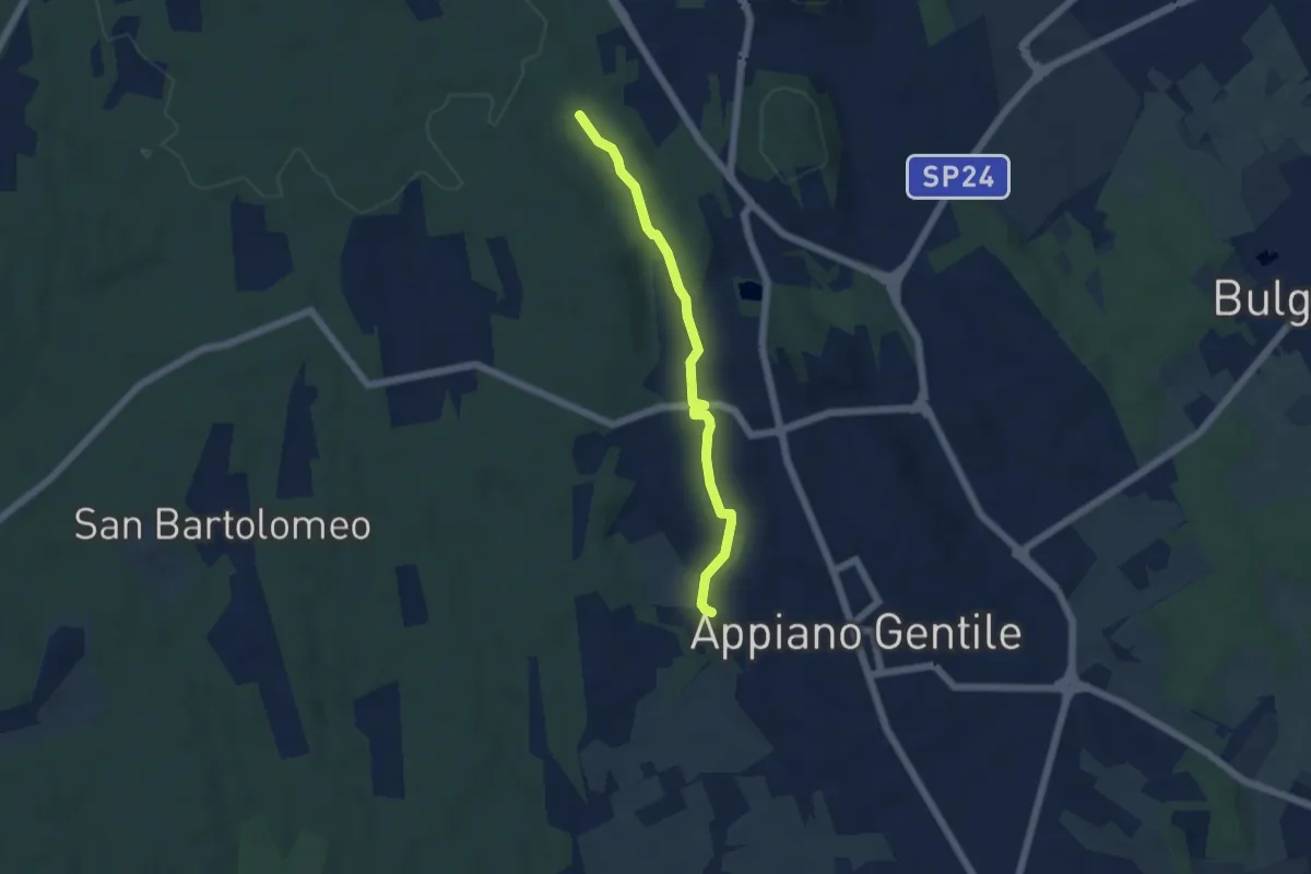
Easy · Trail
Sentiero 846C
4.9 km · ↑ 81 m · 1 h 20 min · 15 km away
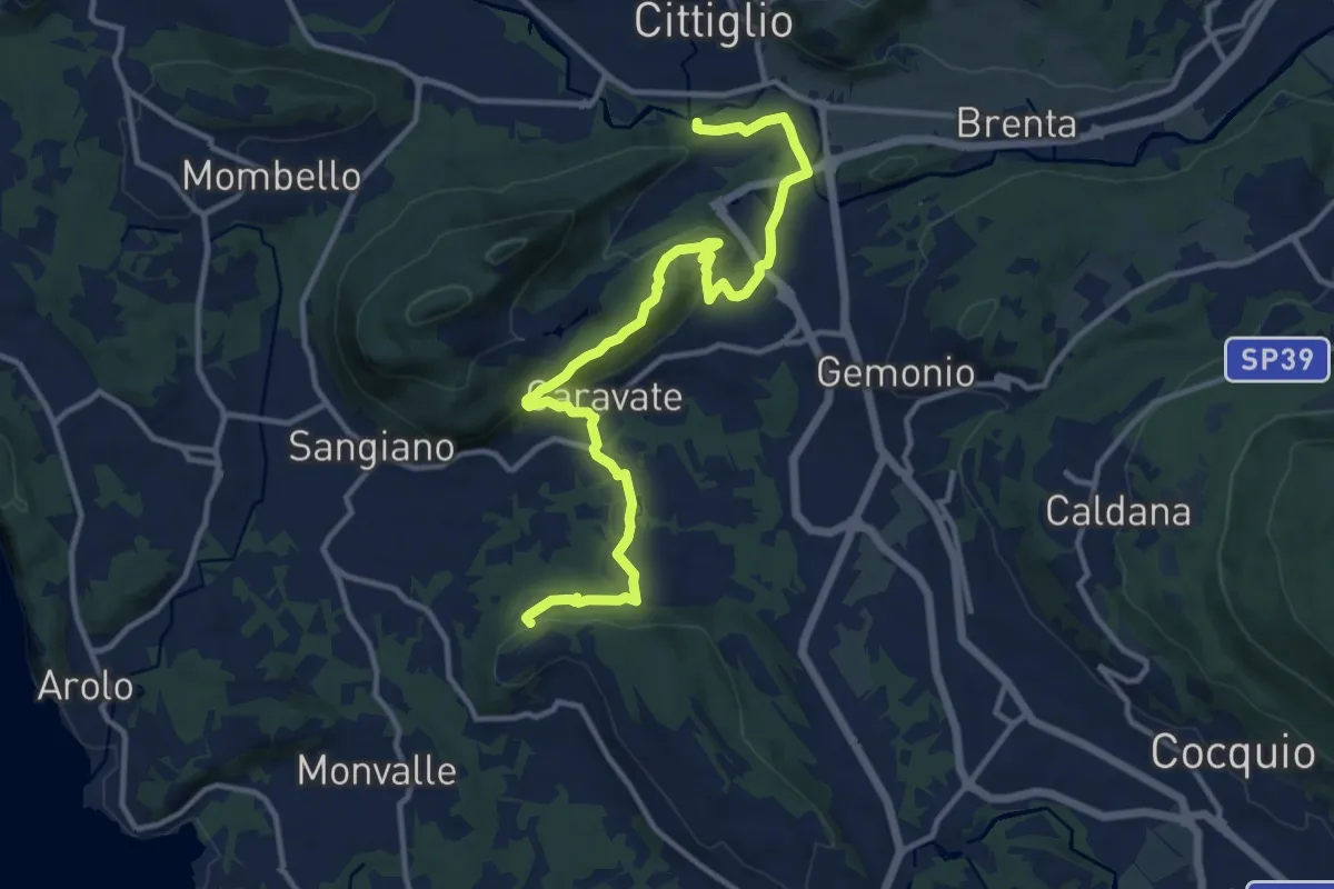
Medium · Trail
285 Cittiglio/Cascina Gravezzano
14.1 km · ↑ 394 m · 4 h 11 min · 15 km away
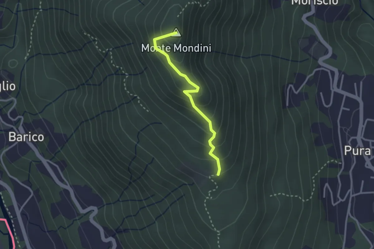
Medium · Summit
Scangei – Curio-Molino
2.4 km · ↑ 171 m · 57 min · 15 km away
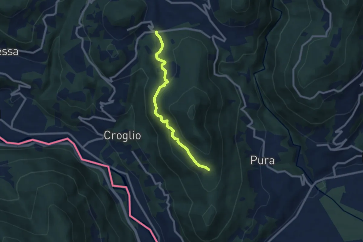
Medium · Trail
Scangei – Feredino
5.7 km · ↑ 265 m · 1 h 55 min · 15 km away
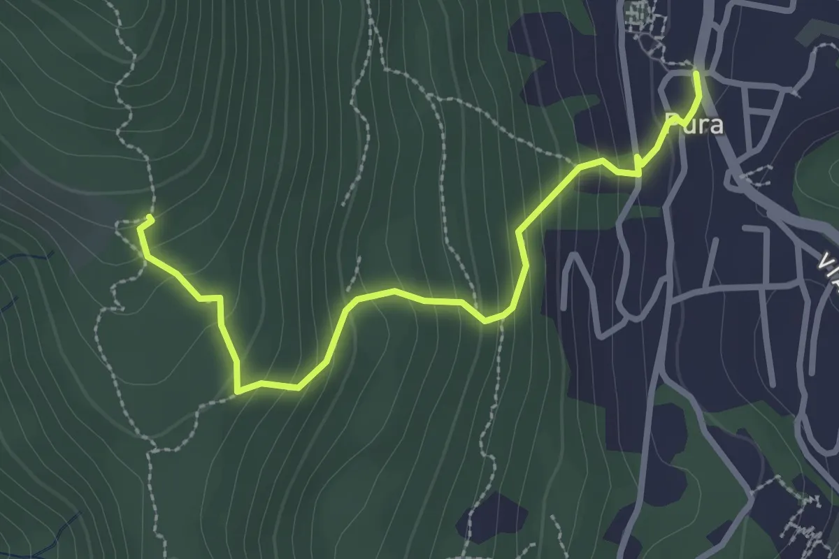
Medium · Trail
Pura – Scangei
2.8 km · ↑ 247 m · 1 h 12 min · 15 km away
Medium · Summit
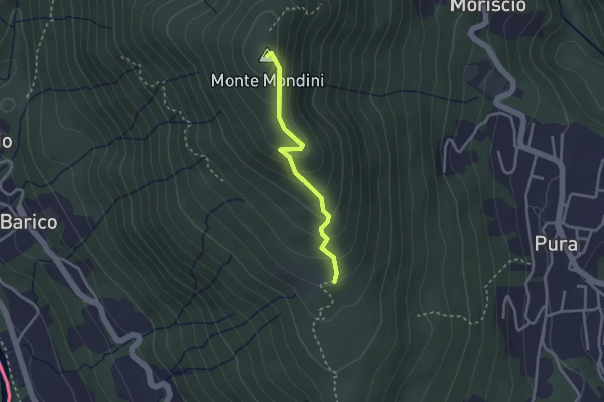
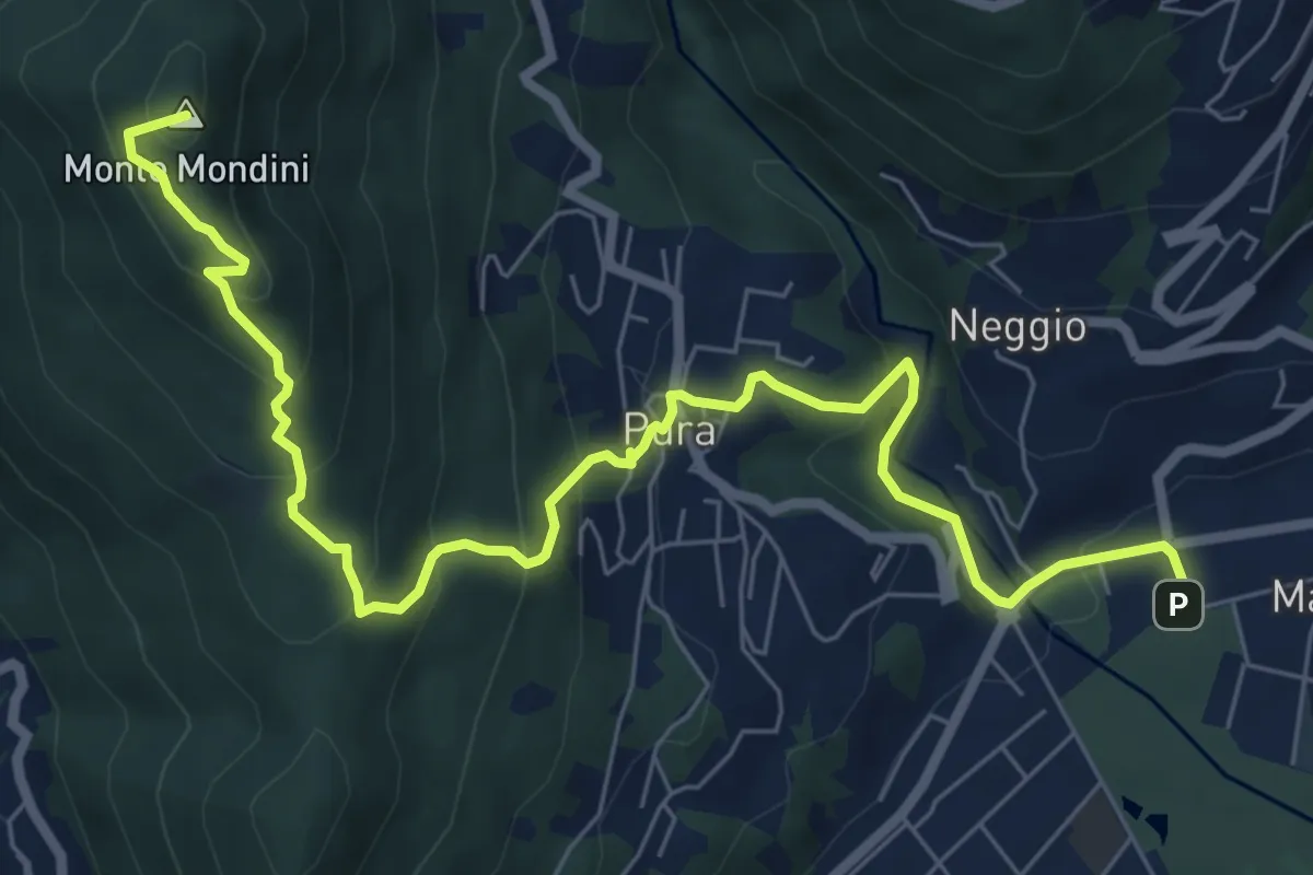
Scangei – Monte Mondini
2.2 km · ↑ 153 m · 51 min · 15 km away
Medium · Summit
Sentiero Lago di Lugano
8.9 km · ↑ 526 m · 3 h 15 min · 15 km away
Medium · Trail
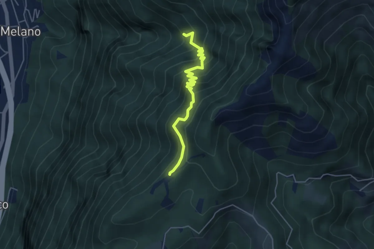
Alpe di Melano-Bellavista
4.1 km · ↑ 473 m · 1 h 59 min · 15 km away
Medium · Trail
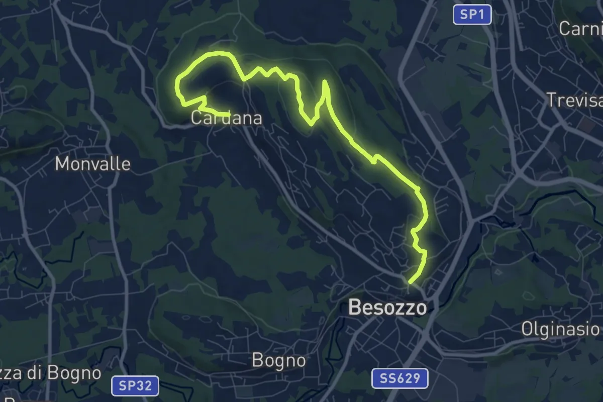
630 Anello di Besozzo - Besozzo/Cardana
10.7 km · ↑ 271 m · 3 h 6 min · 15 km away
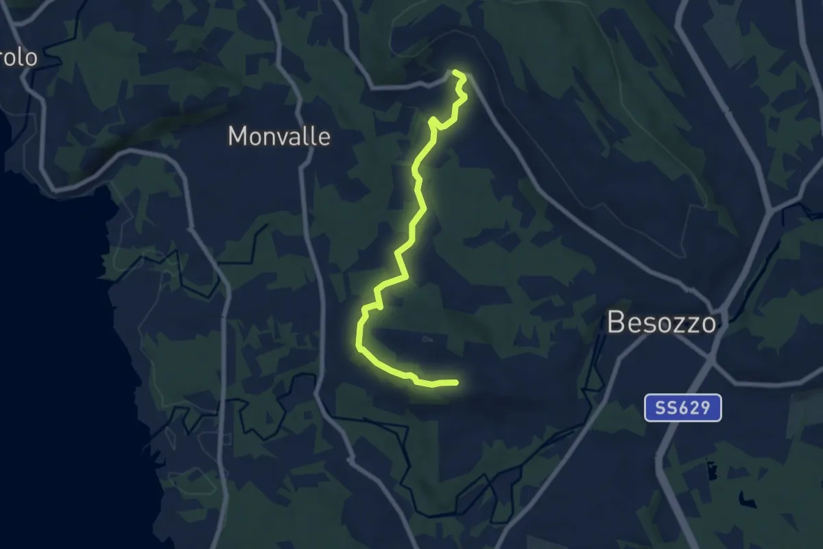
Easy · Trail
Anello di Besozzo - Cardana/Bogno
6.4 km · ↑ 126 m · 1 h 47 min · 15 km away
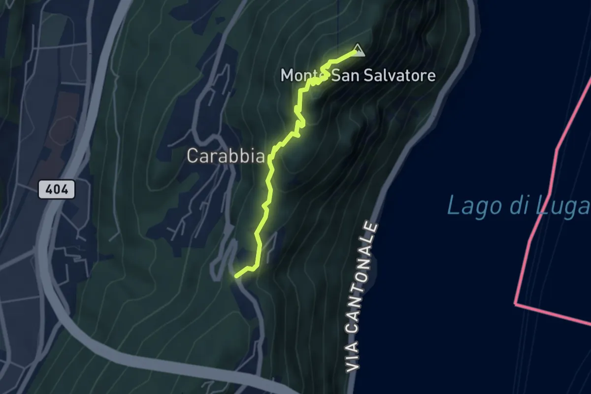
Medium · Summit
San Salvatore – Ciona
3.9 km · ↑ 302 m · 1 h 34 min · 15 km away
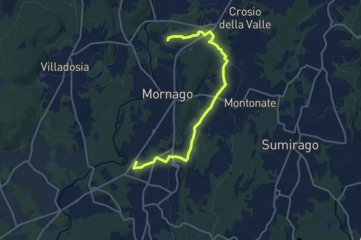
Medium · Trail
Piane Viscontee - Anello di Mornago
10.0 km · ↑ 100 m · 2 h 34 min · 15 km away
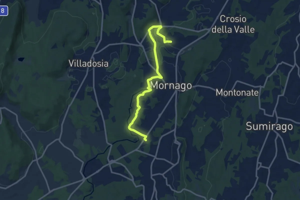
Medium · Trail
Piane Viscontee - Anello di Mornago
8.8 km · ↑ 63 m · 2 h 12 min · 15 km away
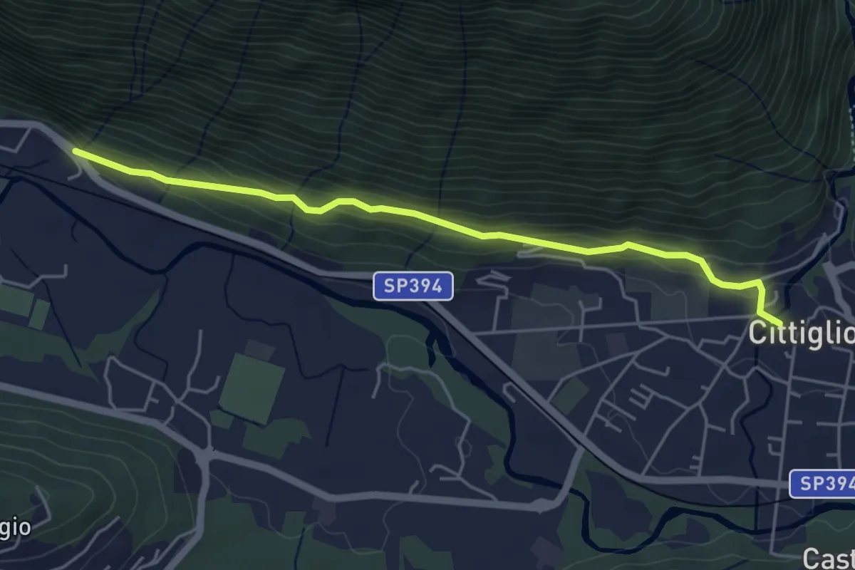
Easy · Trail
Cittiglio – Incrocio con Strada statale
4.7 km · ↑ 221 m · 1 h 36 min · 15 km away
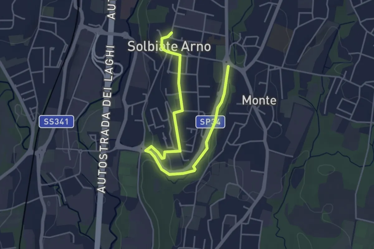
Easy · Trail
Percorsi del Cuore - Anello di Solbiate Arno
5.0 km · ↑ 72 m · 1 h 20 min · 15 km away
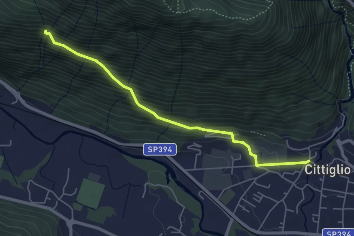
Medium · Trail
204 3V variante
4.6 km · ↑ 385 m · 1 h 55 min · 15 km away
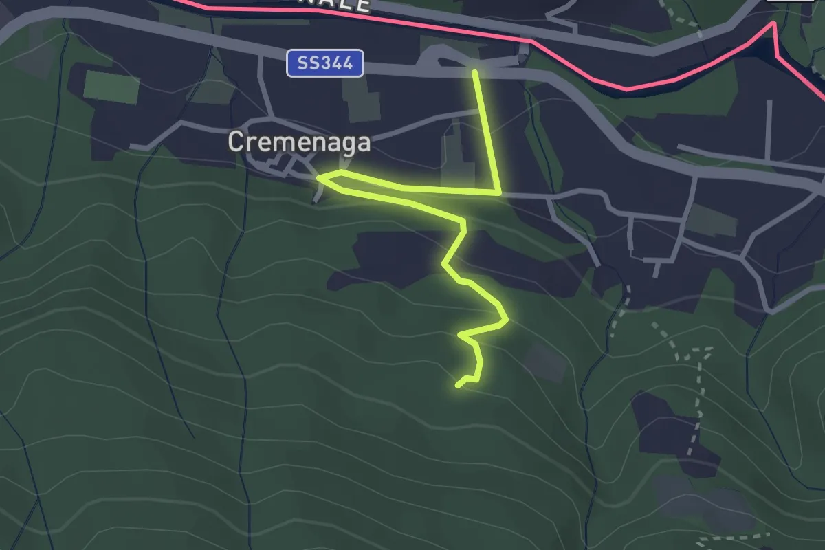
Easy · Trail
Cremenaga – Pian della Nave - M. Sette Termini
2.7 km · ↑ 139 m · 56 min · 15 km away