Trails near Isola Vicentina
65 hikes starting within 15 km, nearest first.
Nearest first, page 2 of 2
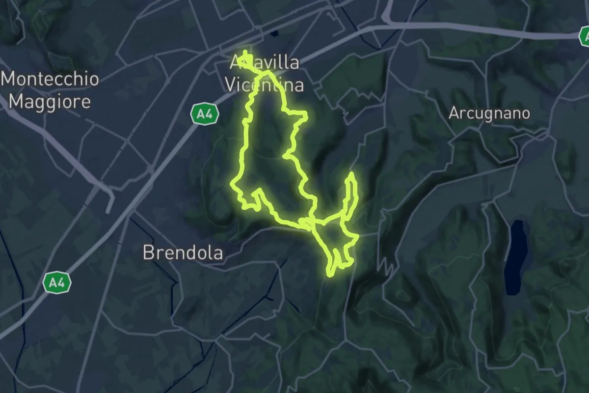
Demanding · Summit
Percorso Circolare di Altavilla - 30 km
21.2 km · ↑ 623 m · 6 h 39 min · 13 km away
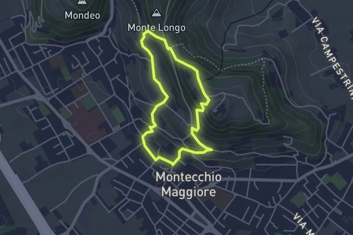
Easy · Summit
02-Fontana Alta e Fontana Giuliani
3.0 km · ↑ 150 m · 1 h 4 min · 13 km away
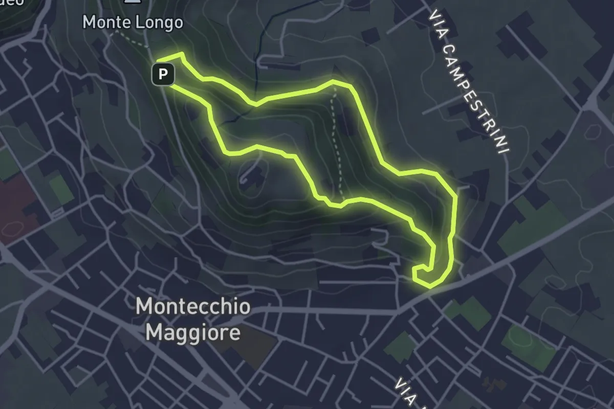
Easy · Trail
01-Fontana della Nova, Castelli e Montenero
3.6 km · ↑ 155 m · 1 h 14 min · 13 km away
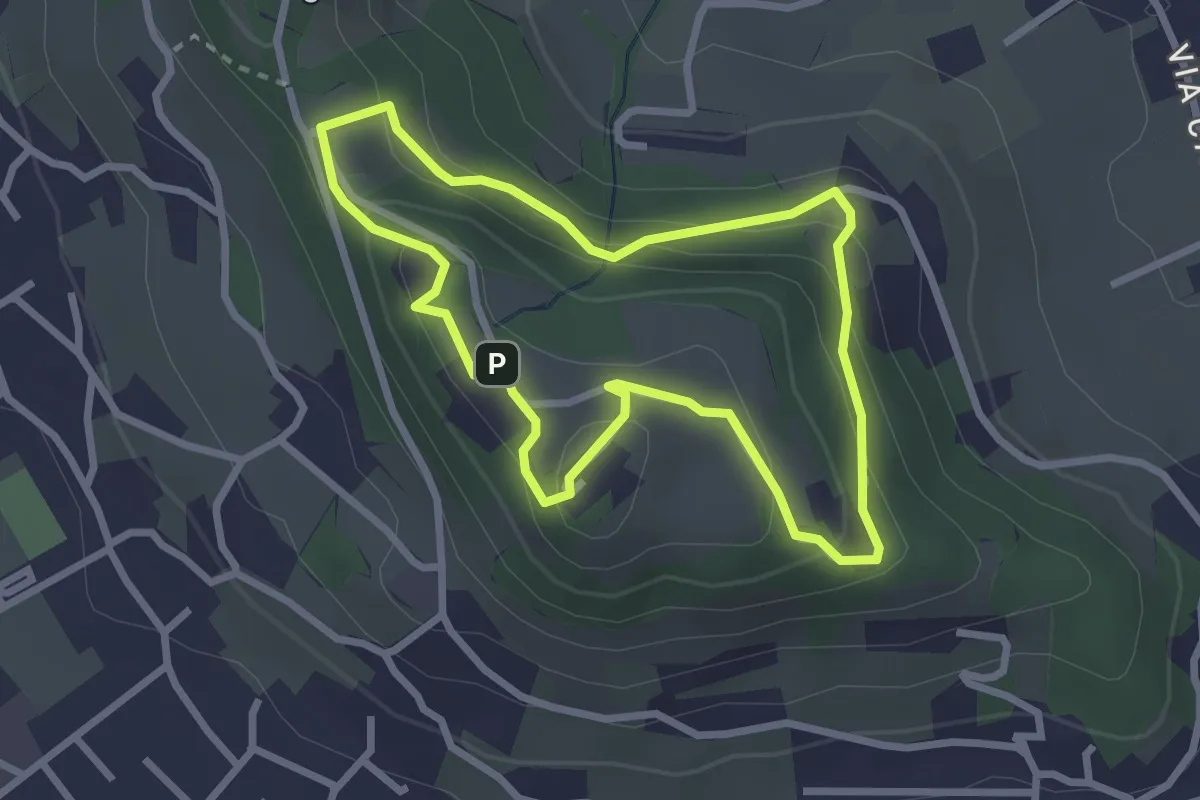
Easy · Trail
10-Percorso Natura
2.6 km · ↑ 128 m · 55 min · 13 km away
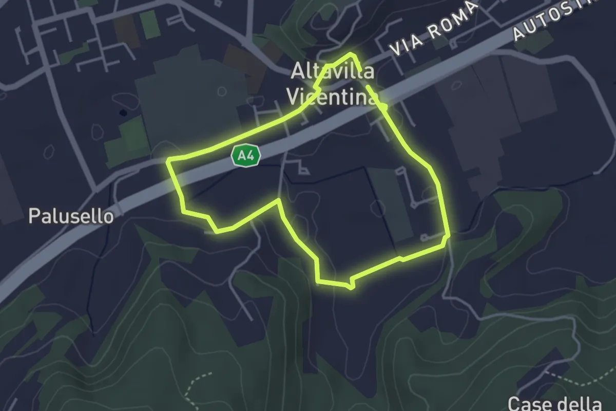
Easy · Trail
Sentiero delle Fontane di Altavilla Vicentina
3.2 km · ↑ 45 m · 54 min · 14 km away
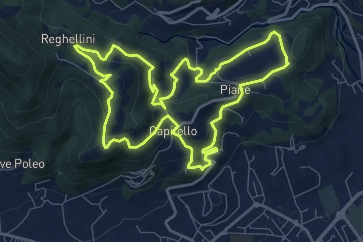
Medium · Trail
Percorso Pio Penzo
7.1 km · ↑ 383 m · 2 h 36 min · 14 km away
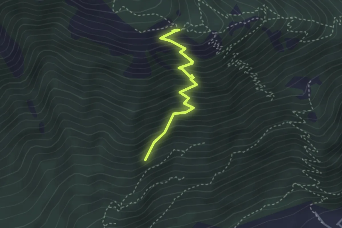
Medium · Trail
Sasso de la Poia
2.7 km · ↑ 413 m · 1 h 31 min · 14 km away
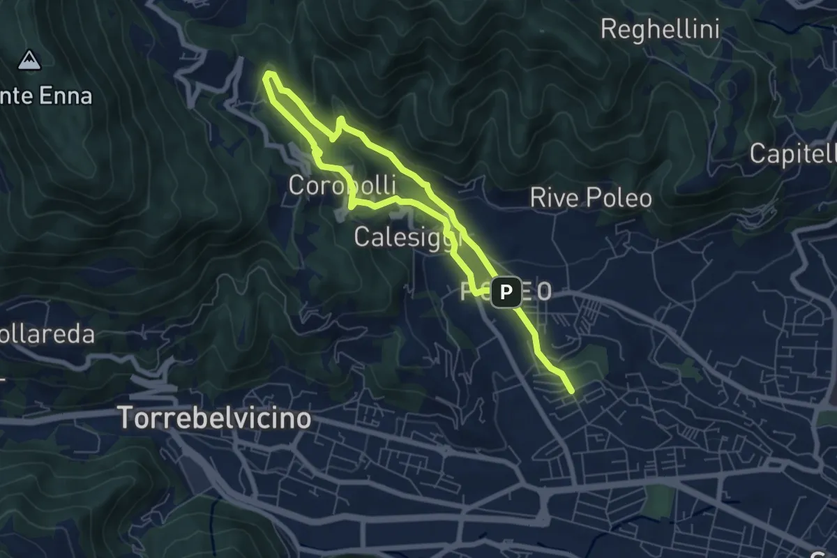
Medium · Trail
La via dei Mulini
10.3 km · ↑ 541 m · 3 h 36 min · 14 km away
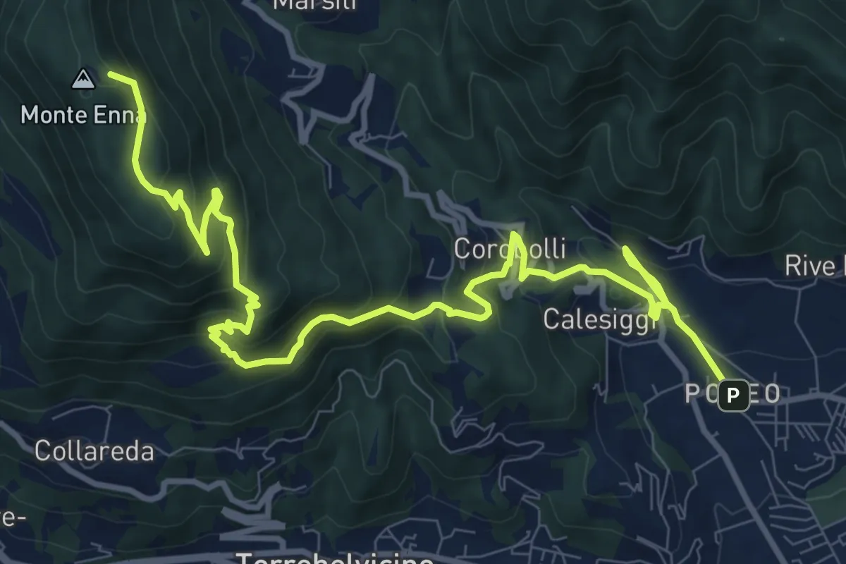
Demanding · Summit
S3
12.8 km · ↑ 901 m · 4 h 58 min · 14 km away
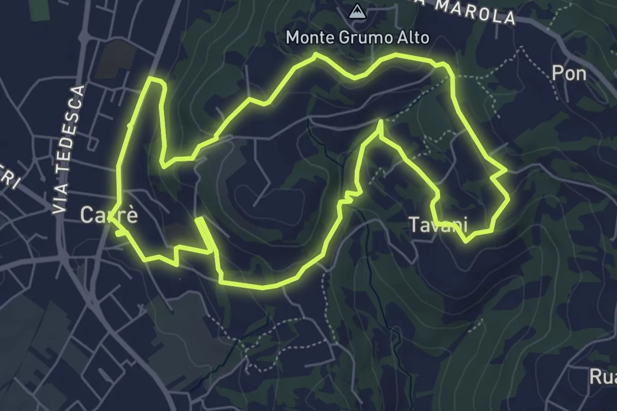
Easy · Trail
Sentiero Natura del Castello
6.6 km · ↑ 181 m · 2 h 2 min · 14 km away
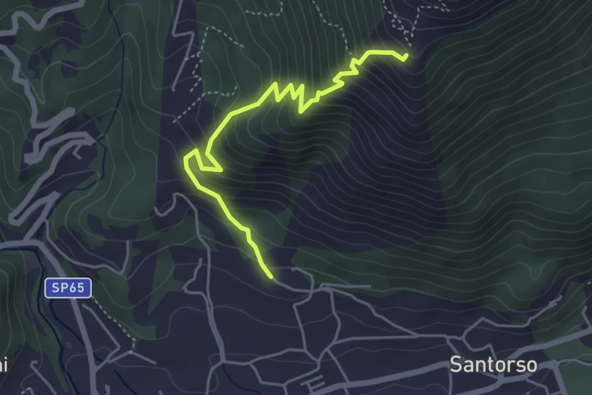
Medium · Trail
Cava di Pietra (Santorso) – Prà Minore (innesto sentiero 457)
4.3 km · ↑ 487 m · 2 h 5 min · 14 km away
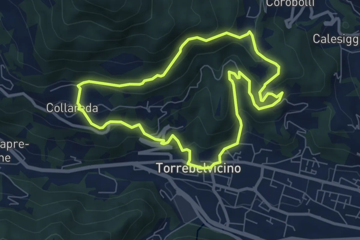
Medium · Trail
Sentiero delle cinque colombe
5.9 km · ↑ 411 m · 2 h 22 min · 15 km away
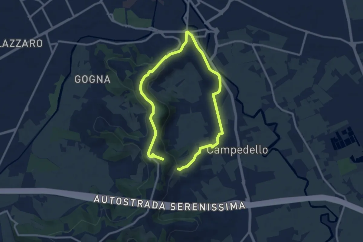
Medium · Trail
Sentiero Risorgimentale Vicentino
11.5 km · ↑ 293 m · 3 h 21 min · 15 km away
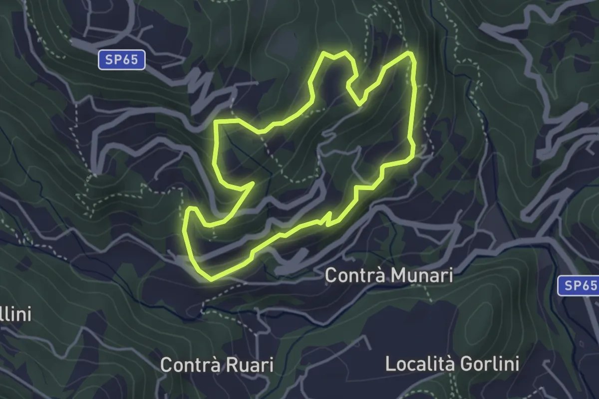
Medium · Trail
Terre e miniere
3.6 km · ↑ 251 m · 1 h 26 min · 15 km away
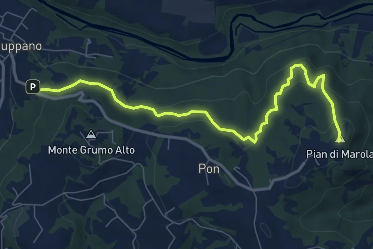
Medium · Summit
Strada Vicinale della Fonda
7.3 km · ↑ 288 m · 2 h 21 min · 15 km away
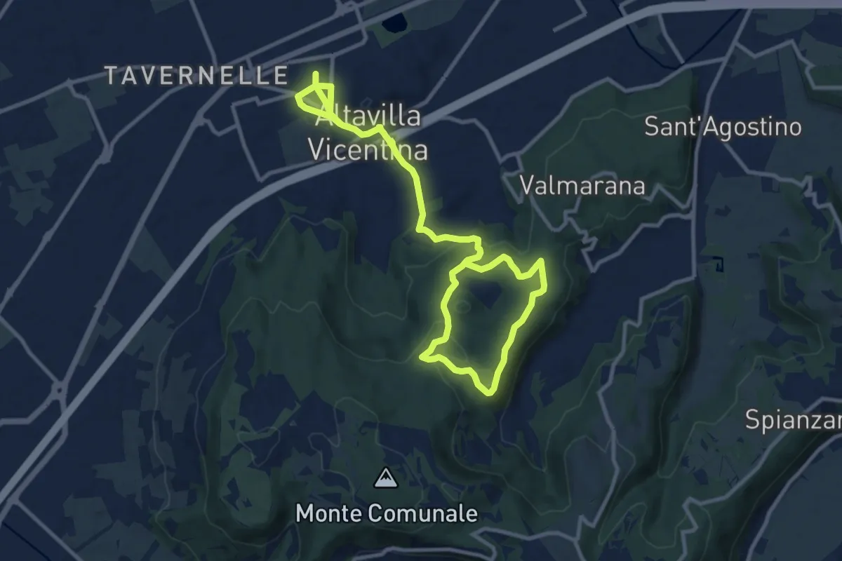
Easy · Trail
Percorso Circolare di Altavilla - 10 km
7.7 km · ↑ 123 m · 2 h 15 min · 15 km away
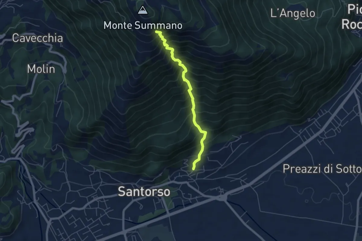
Demanding · Trail
Lesina (Santorso) – sotto Monte Summano (innesto sentiero 457)
4.9 km · ↑ 886 m · 3 h 4 min · 15 km away