Trails near Ivrea
181 hikes starting within 15 km, nearest first.
Nearest first, page 1 of 4
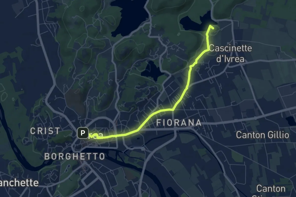
Easy · Summit
Bivio 120-124, Ivrea – Bivio 124-125, Bollengo
7.2 km · ↑ 43 m · 1 h 48 min · under 1 km away
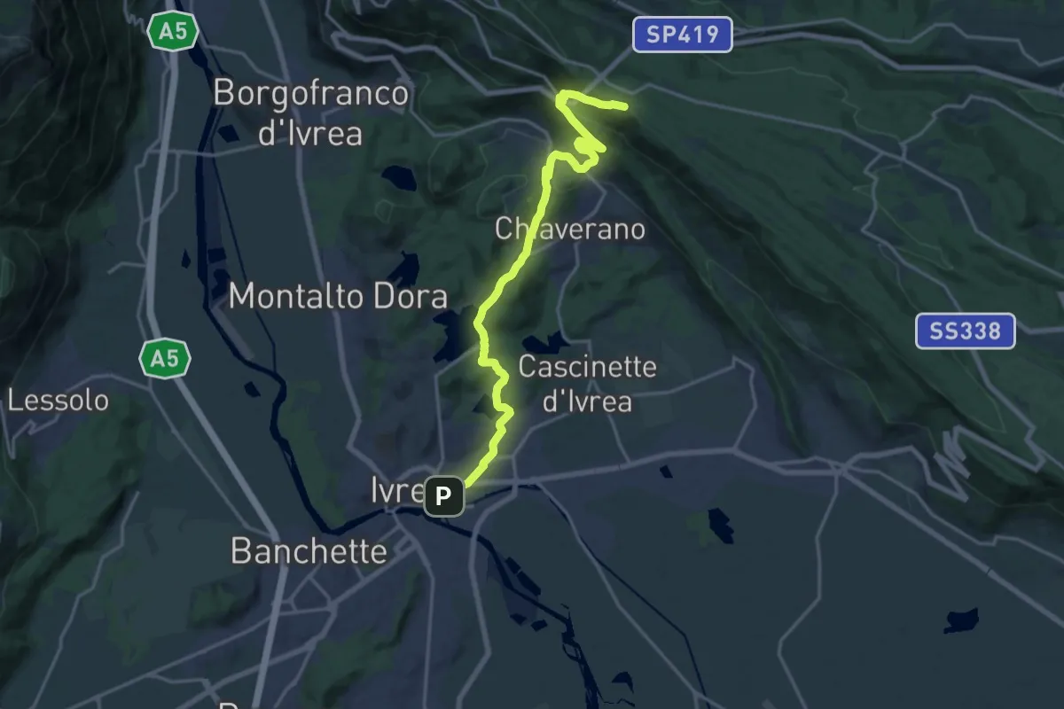
Demanding · Trail
Ivrea Piazza Carlo Freguglia – AVAM Passo dell'Oca
19.0 km · ↑ 576 m · 5 h 44 min · under 1 km away
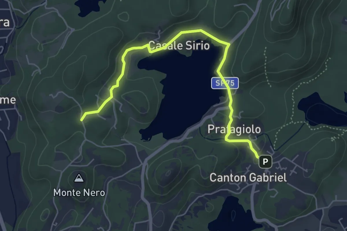
Easy · Trail
Ivrea Canton Gabriel – Ivrea, Località San Pietro
5.5 km · ↑ 96 m · 1 h 30 min · 2 km away
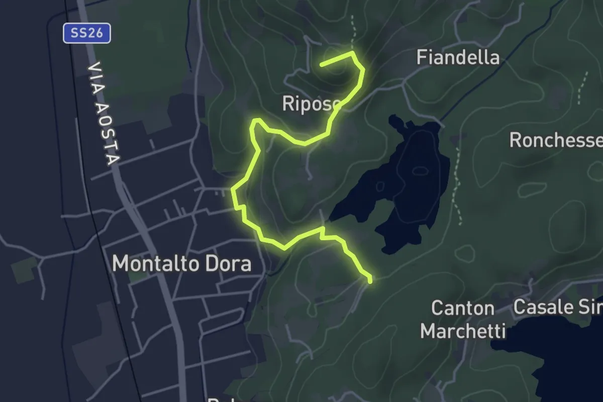
Easy · Summit
Bivio 120-122, presso Lago Pistono – Monte di Maggio
4.2 km · ↑ 174 m · 1 h 22 min · 3 km away
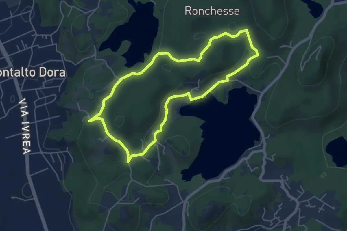
Easy · Summit
Anello del Lago Sirio e delle Terre Ballerine
4.1 km · ↑ 95 m · 1 h 15 min · 3 km away
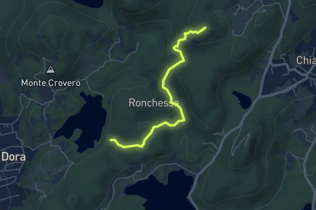
Easy · Summit
Bivio 120-121, Lago Pistono – Bivio TON860-TOP121-TOP121A, Ponte della Gaietta
4.4 km · ↑ 137 m · 1 h 21 min · 3 km away
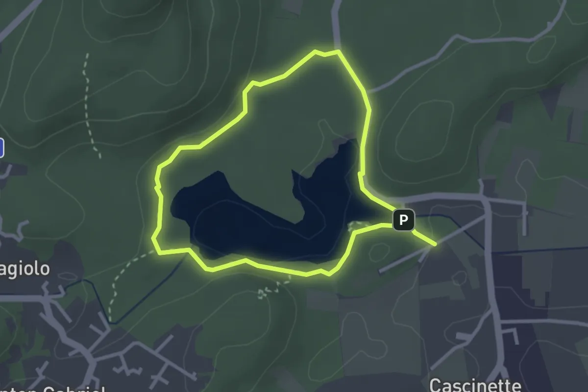
Easy · Summit
Anello del Lago di Campagna
2.4 km · ↑ 35 m · 41 min · 3 km away
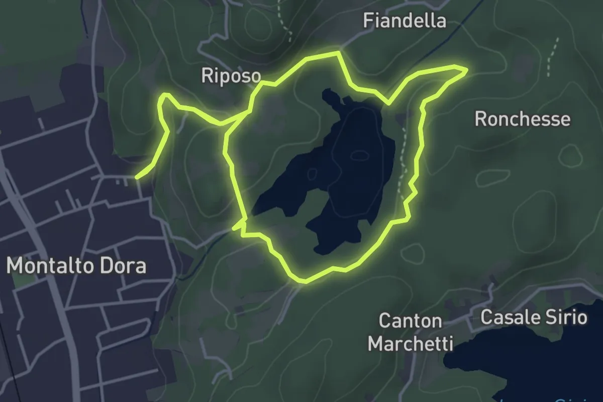
Easy · Trail
Anello del Lago Pistono
4.2 km · ↑ 111 m · 1 h 17 min · 3 km away
Easy · Trail
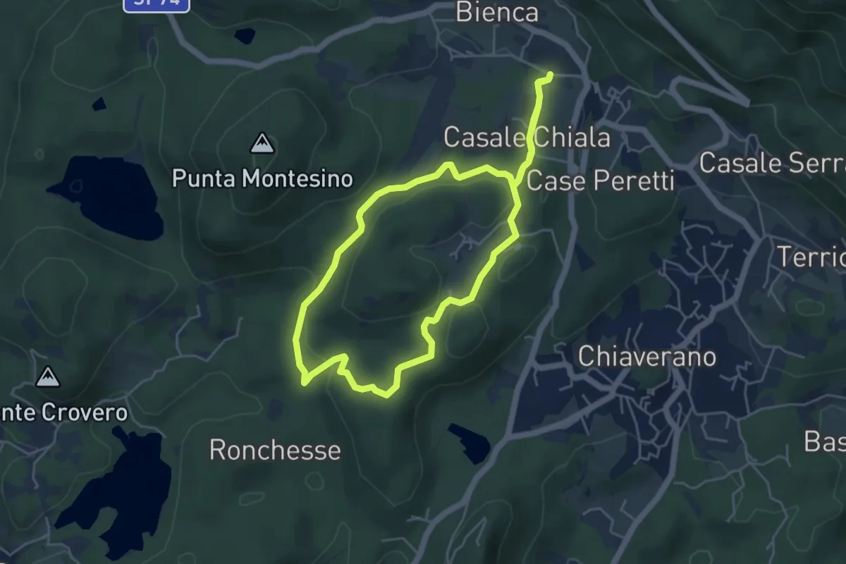
Anello di Montresco
4.5 km · ↑ 88 m · 1 h 18 min · 3 km away
Medium · Trail
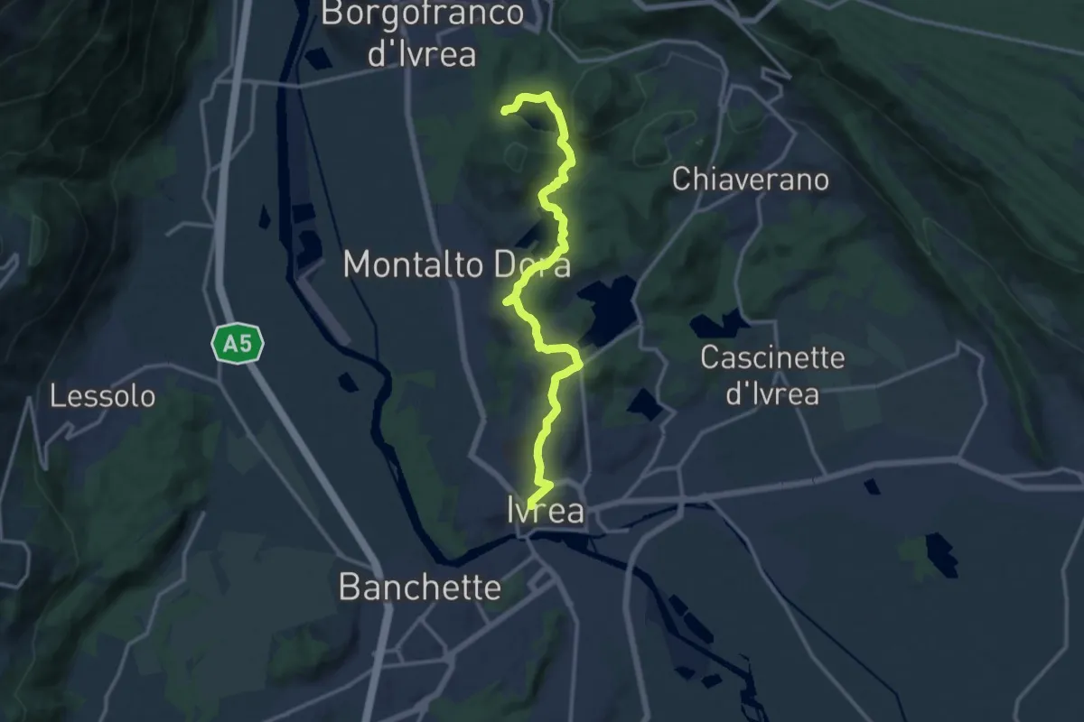
Bivio 120-124, Ivrea – Bivio 862-120-120C
13.3 km · ↑ 321 m · 3 h 50 min · 4 km away
Easy · Trail
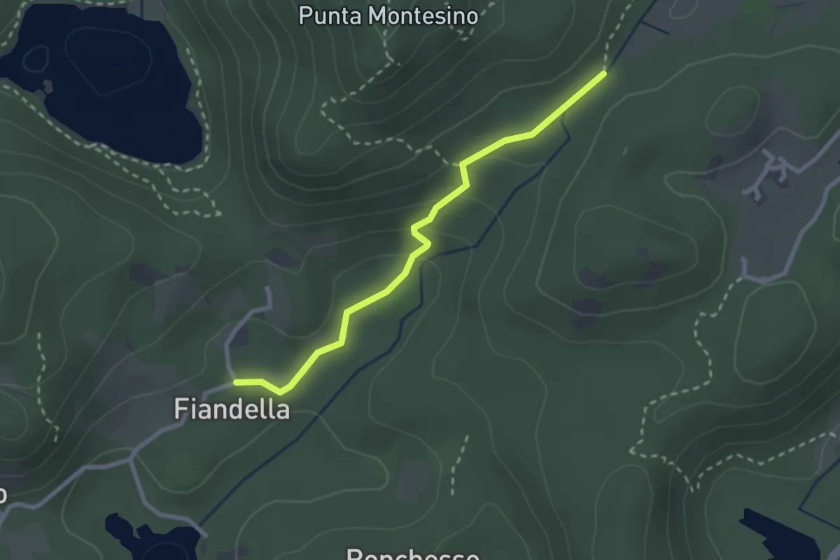
Bivio 120-121A, Case Ronzetto – Bivio 860-121-121A, Ponte della Gaietta
2.5 km · ↑ 85 m · 46 min · 4 km away
Easy · Trail
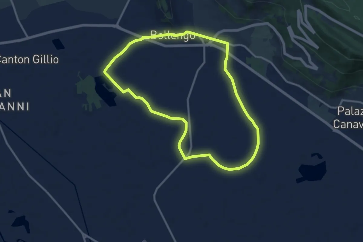
Anello del Lago
7.6 km · ↑ 17 m · 1 h 56 min · 5 km away
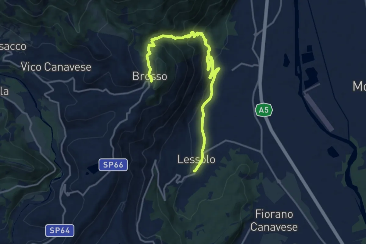
Medium · Trail
Alta Via dell’Anfiteatro Morenico di Ivrea - Itinerario di Collegamento di Lessolo
12.3 km · ↑ 611 m · 4 h 14 min · 5 km away
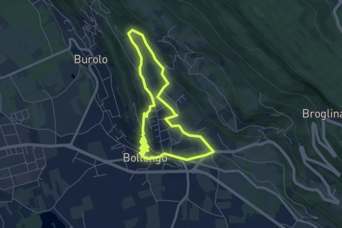
Easy · Trail
Anello del Capoluogo
5.5 km · ↑ 159 m · 1 h 43 min · 5 km away
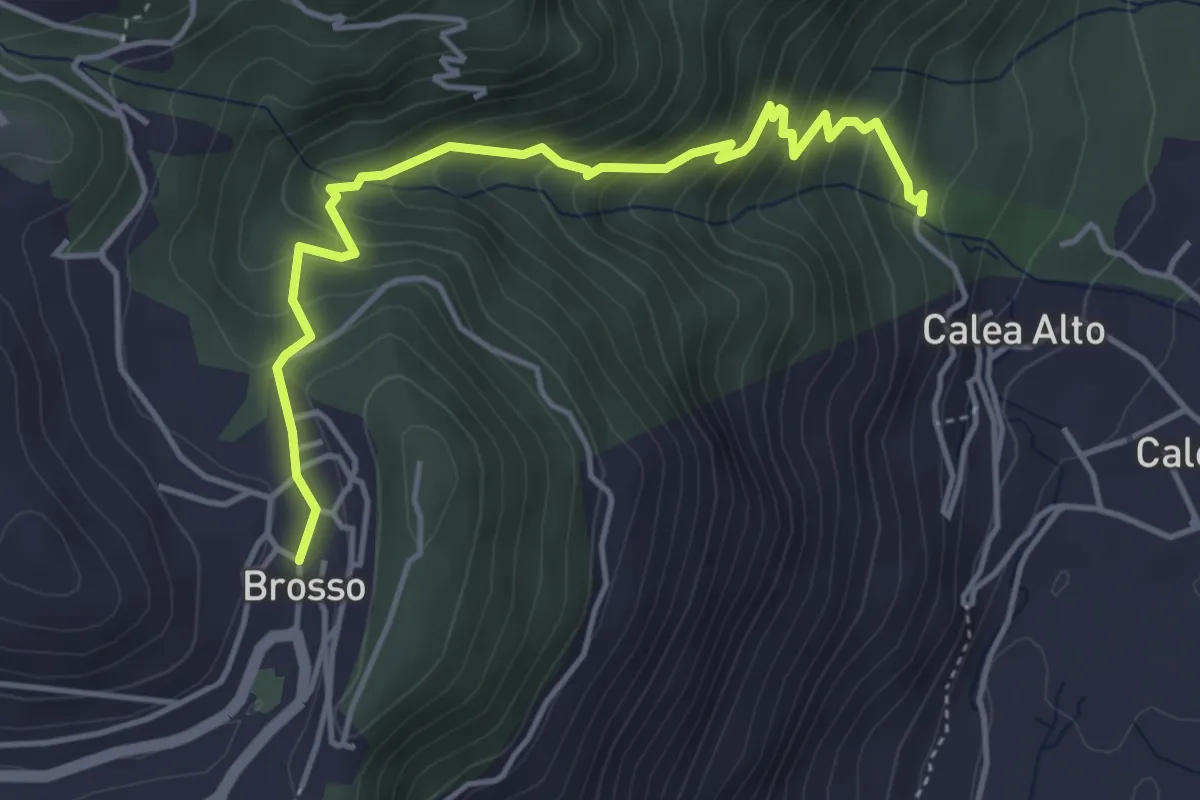
Medium · Trail
Strada delle Vote
4.7 km · ↑ 400 m · 1 h 59 min · 6 km away
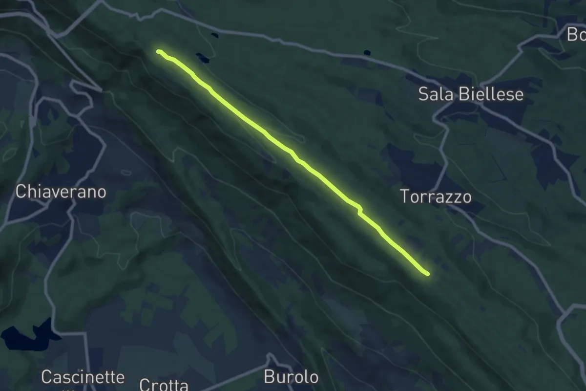
Easy · Trail
Bivio BIAS01-BIAS09, Torrazzo – Bivio BIAS05-BIAS09A, Scalveis
7.5 km · ↑ 89 m · 1 h 58 min · 6 km away
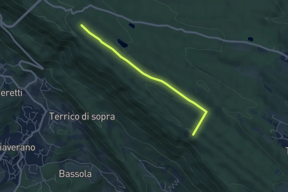
Easy · Trail
Bivio BIAS02-BIAS09A, Burolo – Bivio BIAS09-BIAS09A, Scalveis
4.9 km · ↑ 56 m · 1 h 16 min · 6 km away
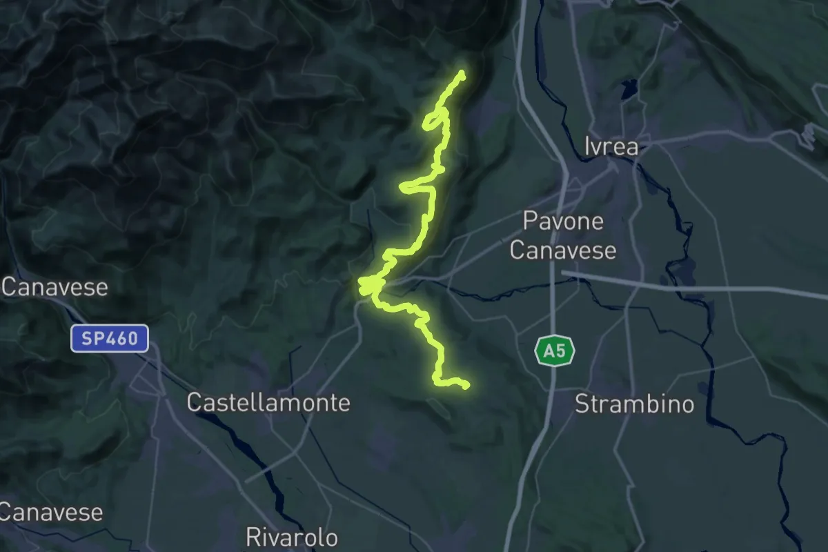
Demanding · Summit
Alta Via dell'Anfiteatro Morenico di Ivrea Tappa 5
52.0 km · ↑ 1359 m · 15 h 14 min · 6 km away
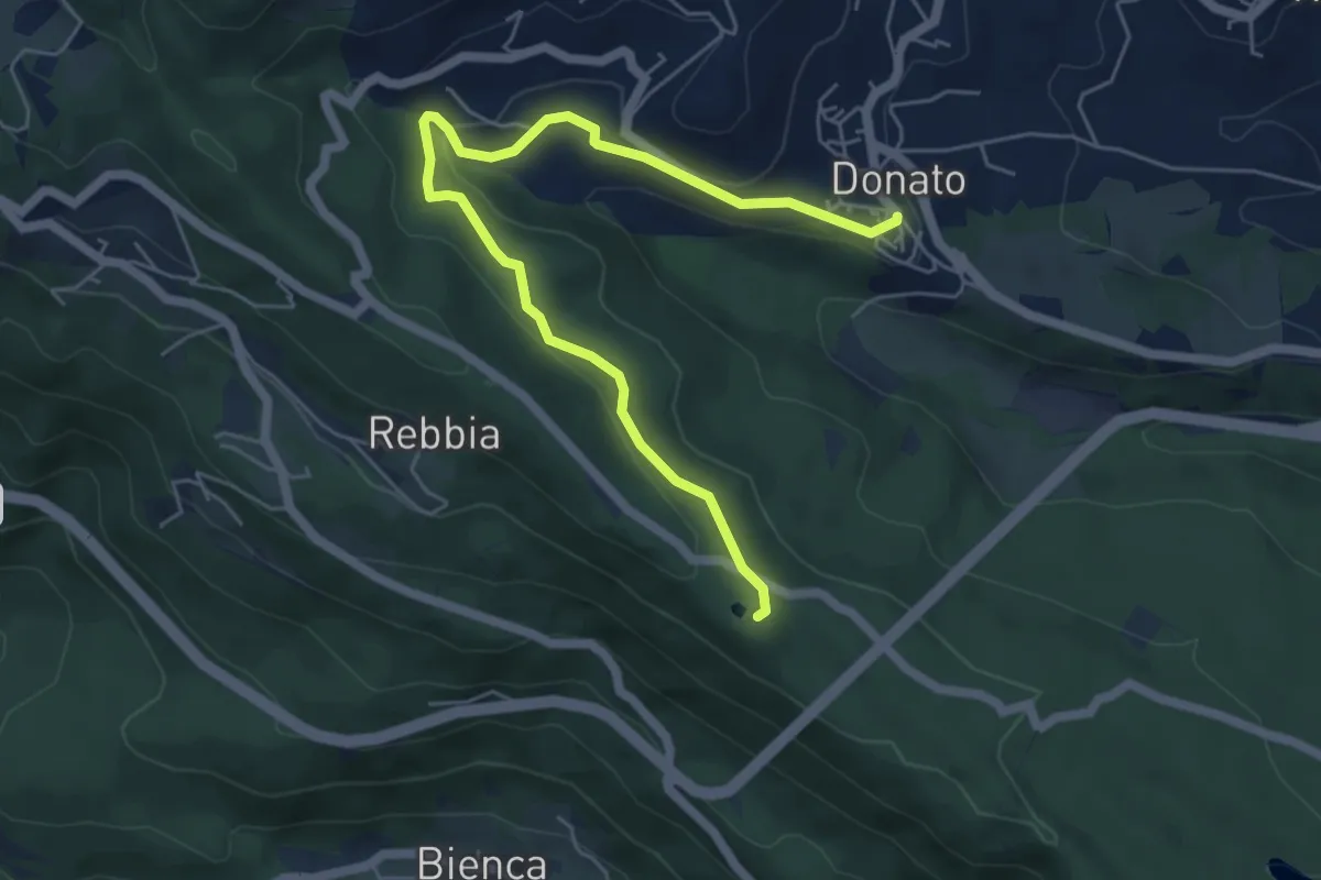
Easy · Trail
Donato, bivio BIAB41-BIAB44-BIAB46 – Strada Sala-Croceserra
6.4 km · ↑ 217 m · 1 h 59 min · 6 km away
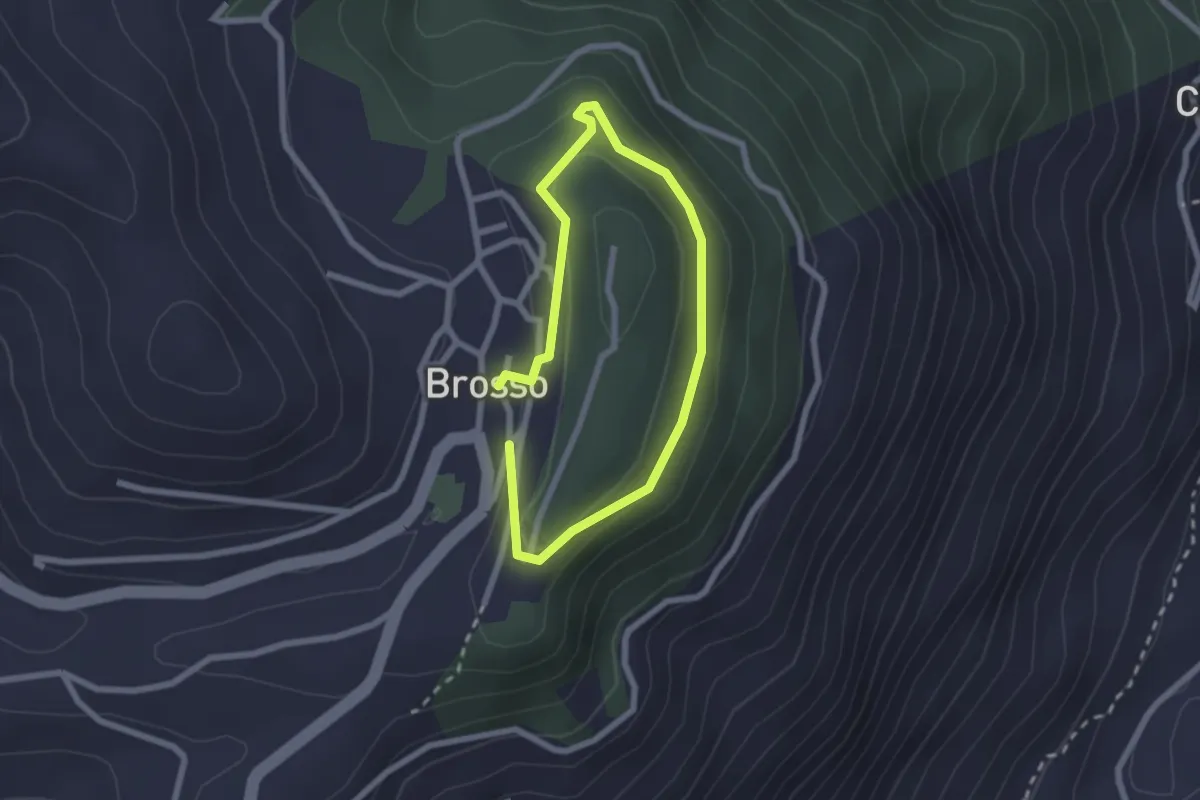
Easy · Trail
Brosso, bivio TON722-TON722A – Brosso, bivio TON722-TON722A
1.7 km · ↑ 54 m · 32 min · 6 km away
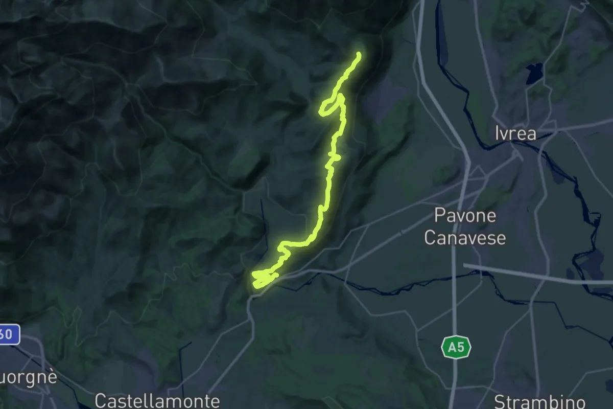
Medium · Trail
Strambinello, bivio 101 – Brosso, bivio 720-721
16.1 km · ↑ 287 m · 4 h 51 min · 6 km away
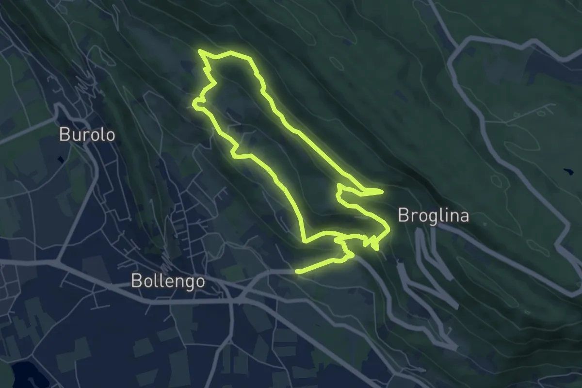
Easy · Trail
Anello della Serra
7.5 km · ↑ 312 m · 2 h 33 min · 6 km away
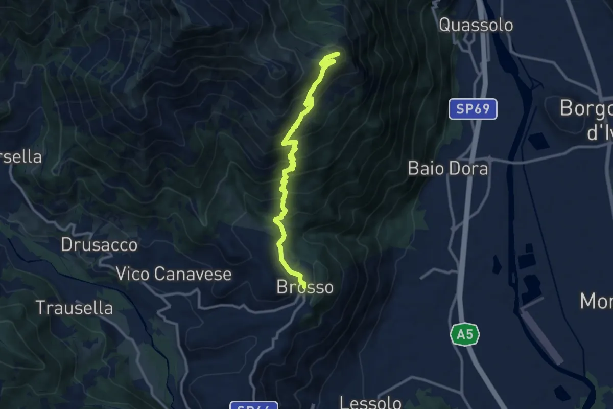
Demanding · Summit
Brosso bivio 720-721 – Monte Cavallaria
9.9 km · ↑ 716 m · 3 h 54 min · 6 km away
Easy · Trail
presso lago Cossavella (S1) – Bivio S01
2.2 km · ↑ 70 m · 40 min · 6 km away
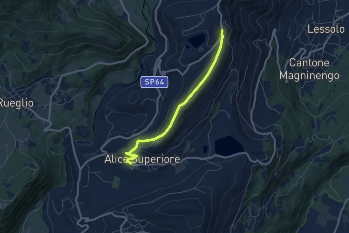
Medium · Trail
Alice Superiore – SP66 bivio AVAM
5.8 km · ↑ 185 m · 1 h 47 min · 6 km away
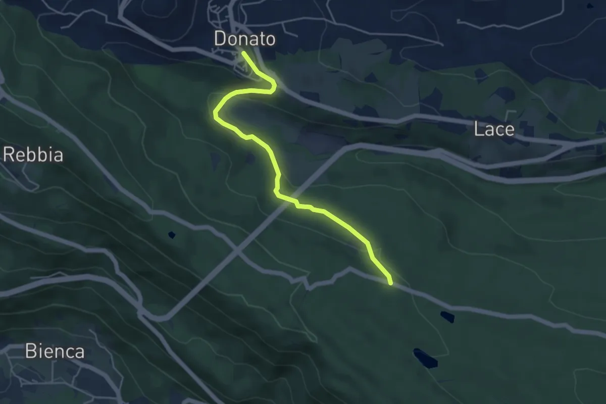
Easy · Trail
Donato, Bivio B46 presso Torrente Viona – Bivio BIAB44-BIAS01-BIAS05, Scalveis
4.5 km · ↑ 138 m · 1 h 21 min · 6 km away
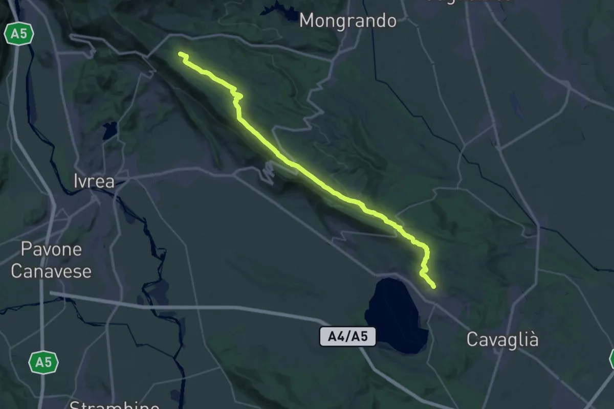
Medium · Trail
Bivio BIAS01-BIAS25, Rolle – Bivio BIAB44-BIAS01-BIAS05, Scalveis
16.6 km · ↑ 109 m · 4 h 34 min · 6 km away
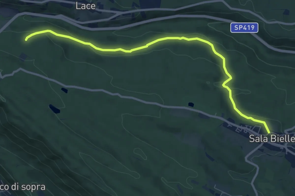
Medium · Trail
Sala Biellese, Via Roma – Bivio BIAB40-BIAS22, Chiaverano
8.2 km · ↑ 173 m · 2 h 19 min · 7 km away
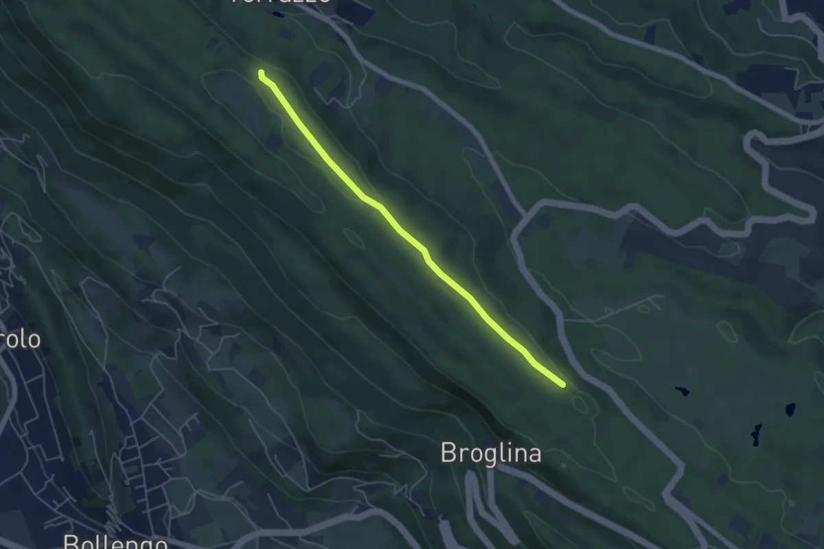
Easy · Trail
Bivio BIAS01-BIAS10A, Golf "Le Betulle" – Bivio BIAS01-BIAS10A, Torrazzo Camping
4.9 km · ↑ 62 m · 1 h 17 min · 7 km away
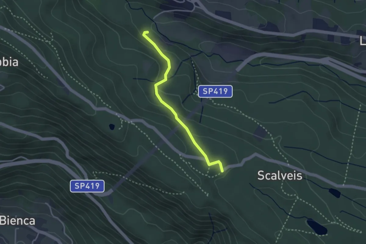
Easy · Trail
Bivio BIAB43-BIAB44 pressi Mulino di Donato – Bivio BIAB43-BIAS05 presso Scalveis
2.7 km · ↑ 106 m · 52 min · 7 km away
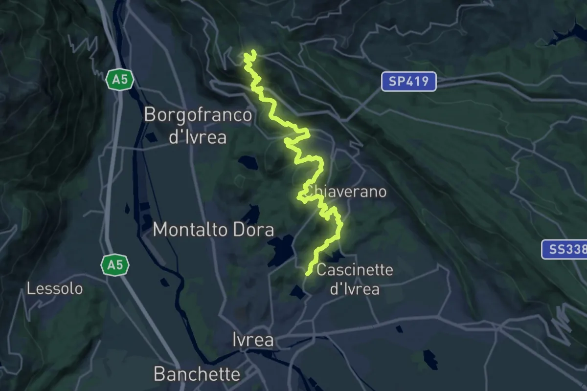
Demanding · Trail
Bivio 860-120, Canton Gabriel – Bivio 860-861, Andrate
22.8 km · ↑ 876 m · 7 h 17 min · 7 km away
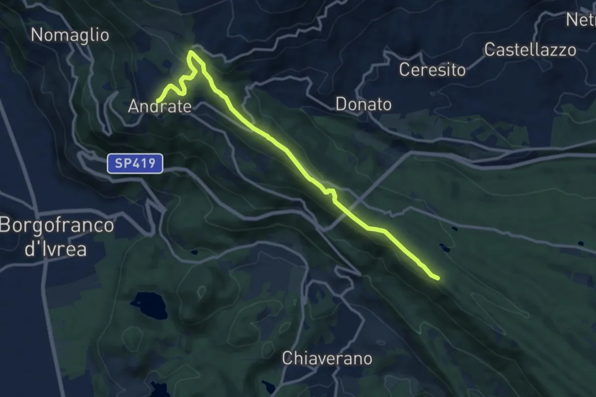
Medium · Trail
Andrate – Bivio TOP120-BIAS02-BIAS05, presso Scalveis
11.3 km · ↑ 319 m · 3 h 21 min · 7 km away
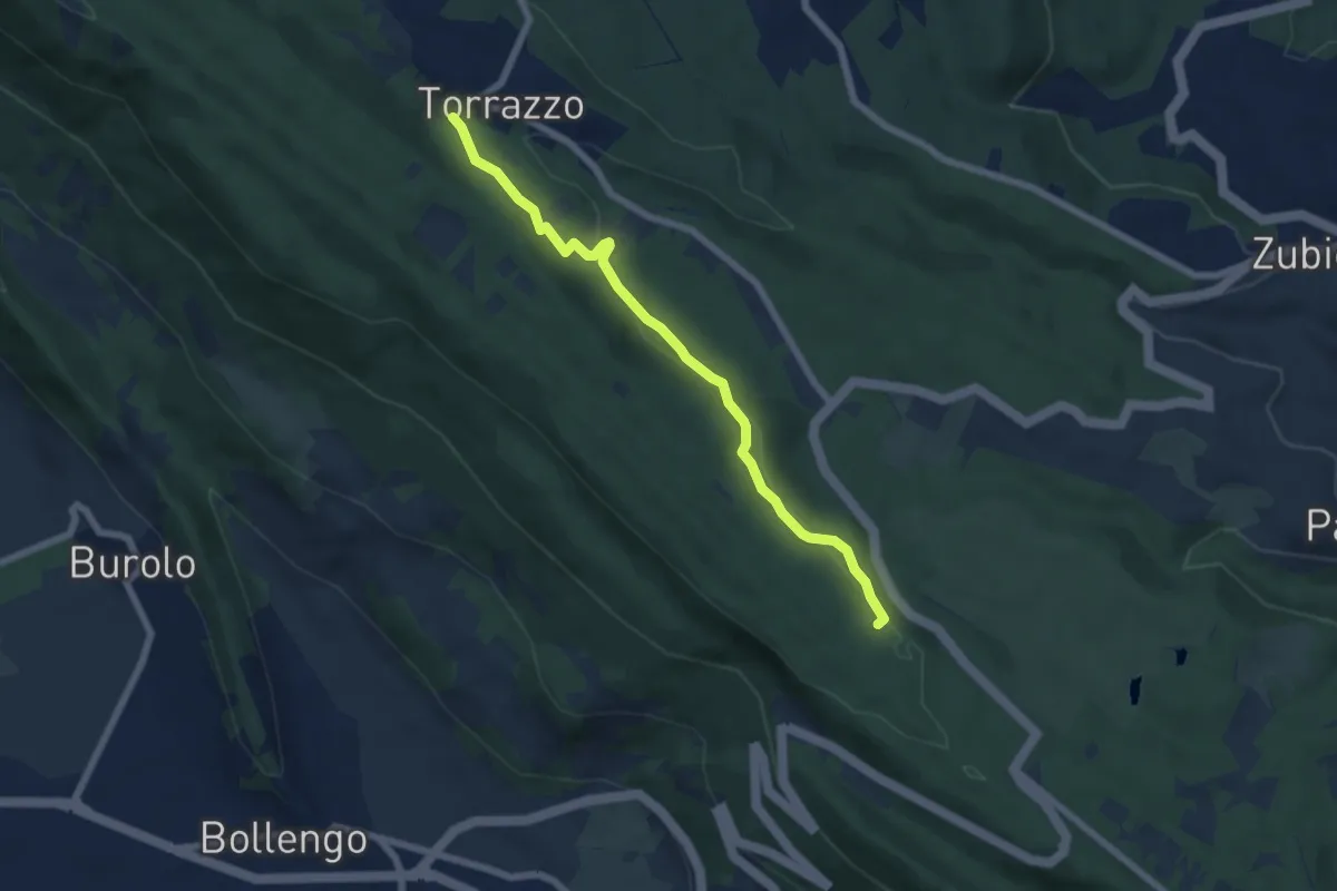
Easy · Trail
Bivio S11 vicino al Golf m 590 – Torrazzo Camping (S1)
6.3 km · ↑ 153 m · 1 h 49 min · 7 km away
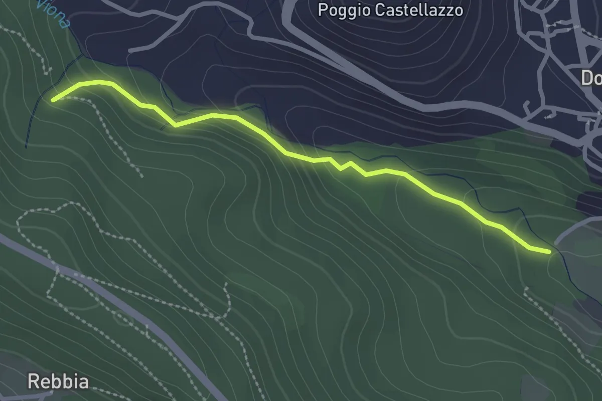
Easy · Trail
Donato, bivio BIAB42-BIAB44 – Andrate, bivio BIAB41-BIAB42
2.5 km · ↑ 119 m · 50 min · 7 km away
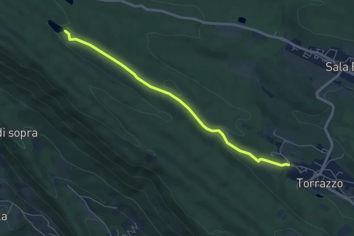
Easy · Trail
Bivio BIAS01-BIAS10, Torrazzo – Lago di Pré
5.1 km · ↑ 81 m · 1 h 23 min · 7 km away
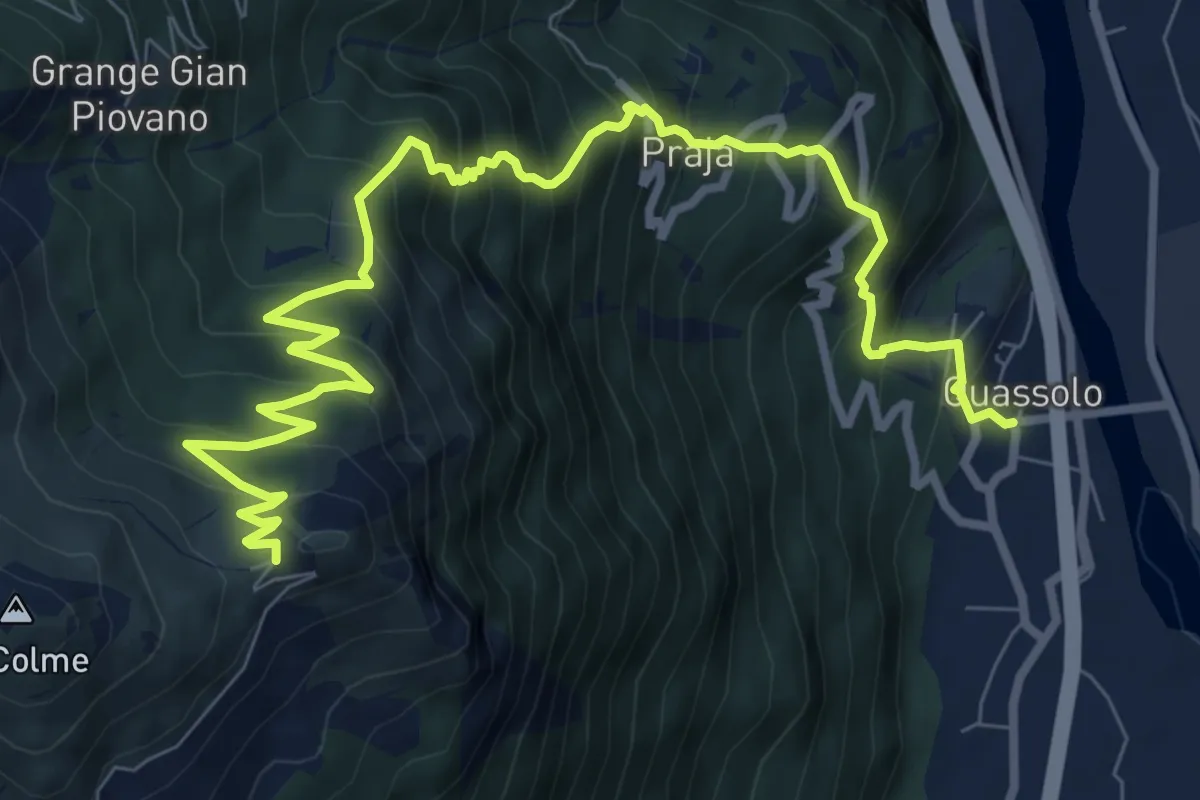
Demanding · Trail
Quassolo – Pian dei muli
11.5 km · ↑ 1172 m · 5 h 15 min · 7 km away
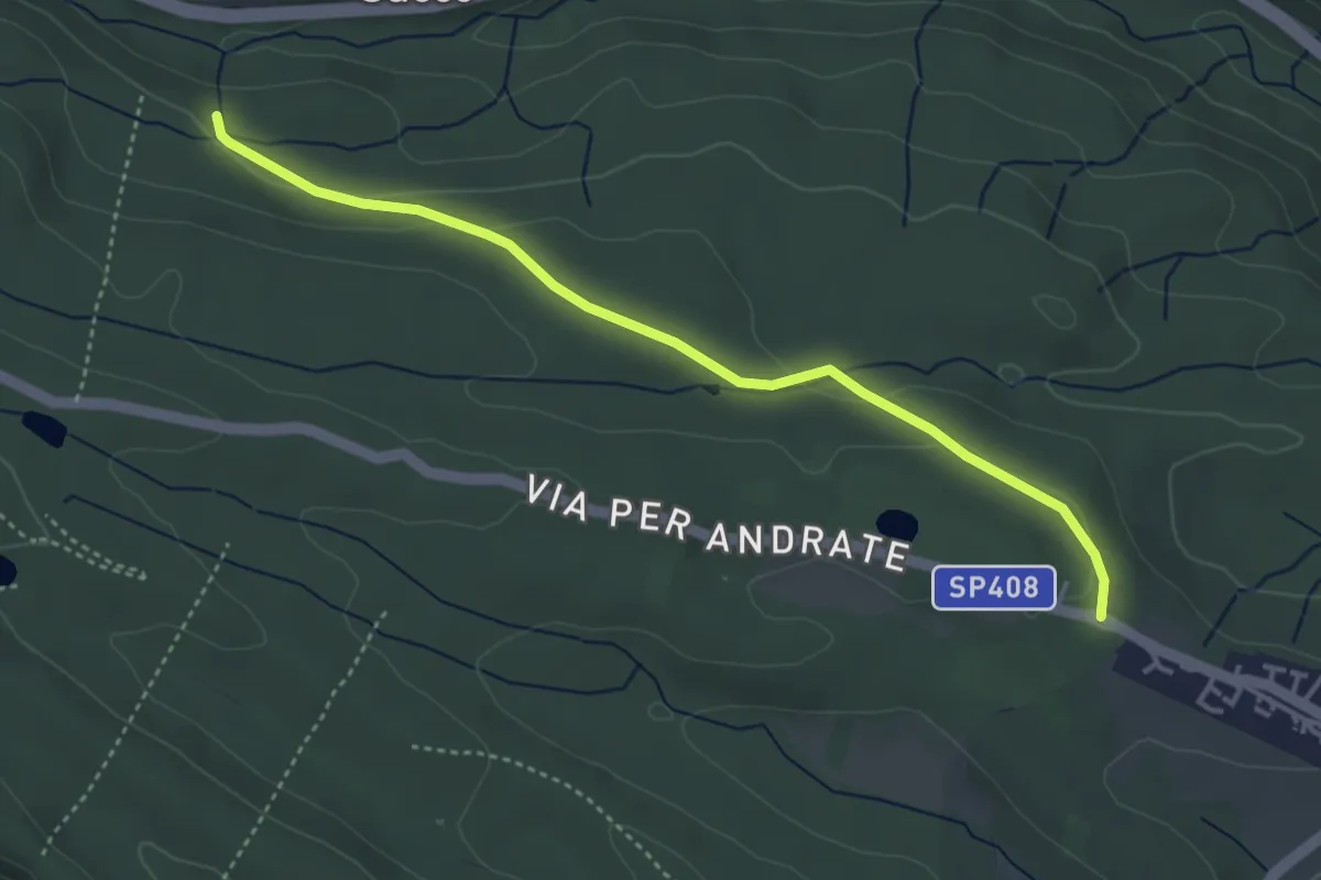
Easy · Trail
Sala Biellese – Bivio BIAB40A-BIAS22
4.1 km · ↑ 72 m · 1 h 8 min · 7 km away
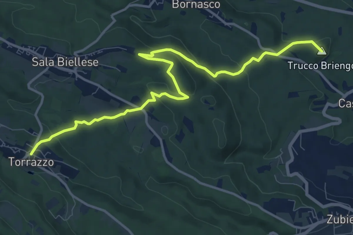
Medium · Summit
SS 419 – Bivio BIAS01-BIAS06, Torrazzo
10.6 km · ↑ 333 m · 3 h 14 min · 7 km away
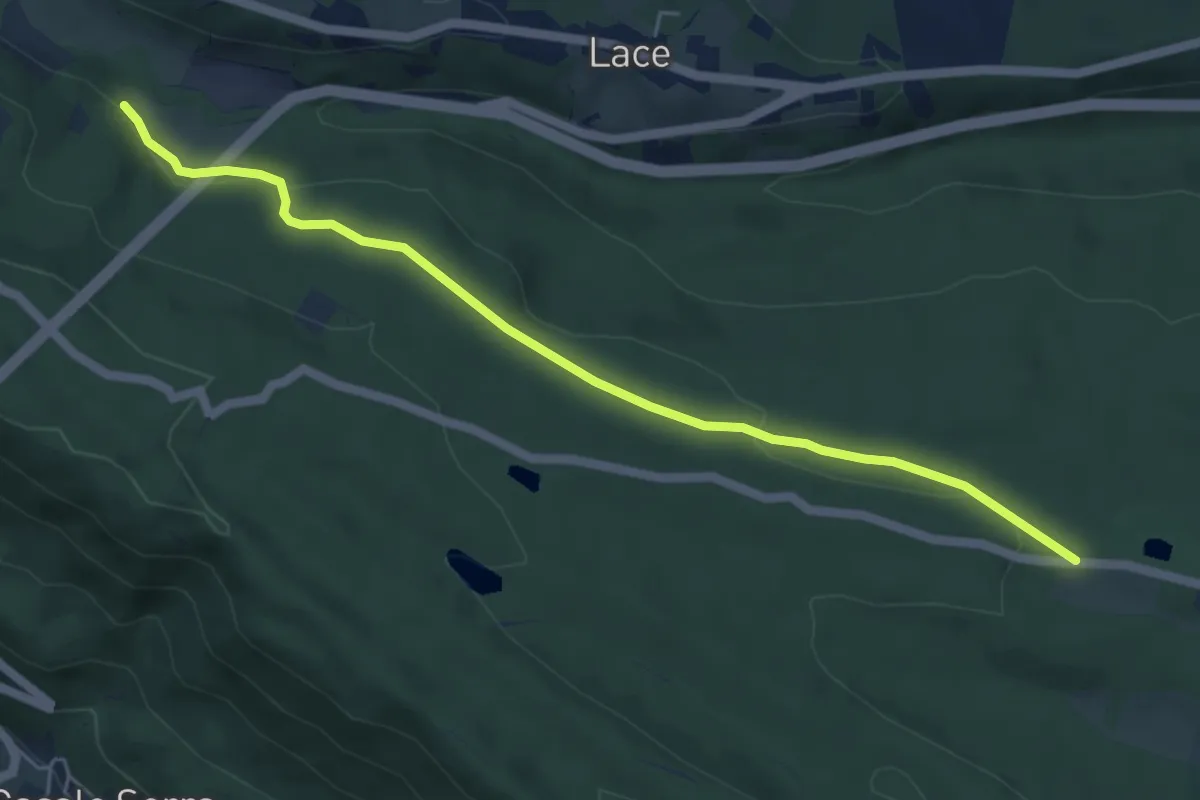
Easy · Trail
Bivio BIAB44-BIAB40, Torrente Viona – Sala Biellese, bivio Via per Andrate
5.7 km · ↑ 78 m · 1 h 30 min · 7 km away
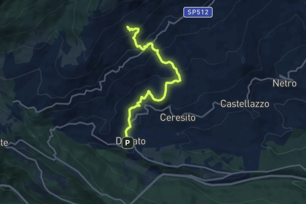
Medium · Trail
Donato, bivio BIAB35-BIAB36 – Donato, Le Piane, BIAB32-BIAB33-BIAB35
8.6 km · ↑ 498 m · 3 h 7 min · 7 km away
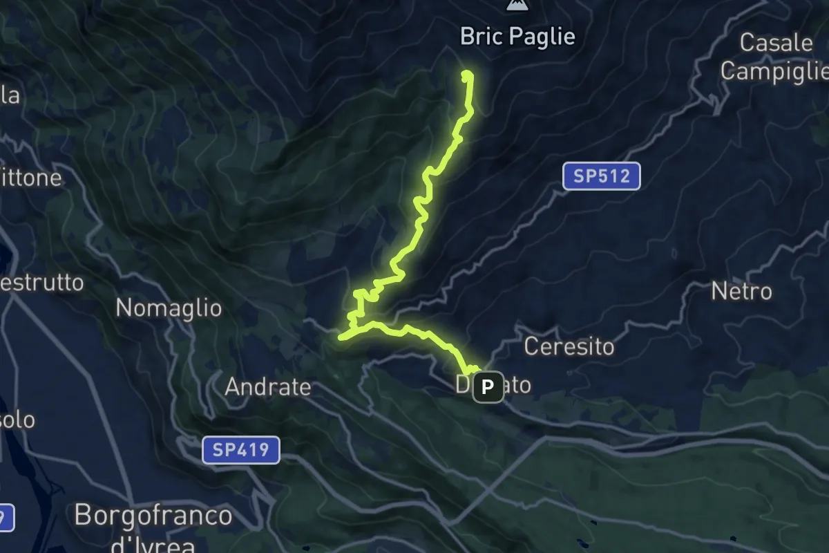
Demanding · Cabin
Bivio BIAB30-BIAB36, Case Pralungo, Donato – Rifugio Alpe Cavanna
14.5 km · ↑ 886 m · 5 h 21 min · 7 km away
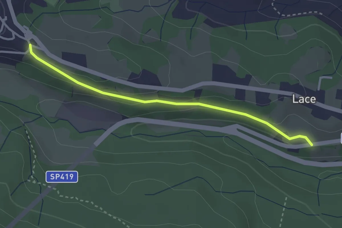
Easy · Trail
Donato, località Bosa, bivio SP 407 – Donato, bivio BIAB41-BIAB44-BIAB46
2.9 km · ↑ 84 m · 52 min · 7 km away
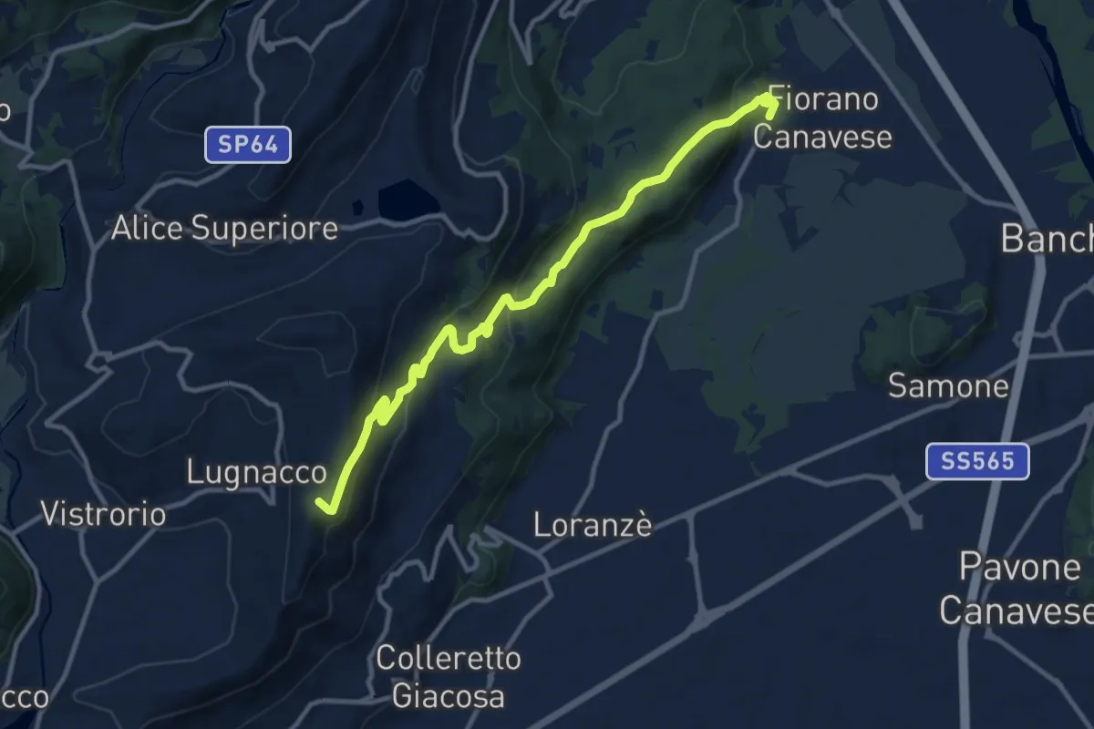
Medium · Trail
Alta Via dell’Anfiteatro Morenico di Ivrea - Itinerario di Collegamento di Fiorano Canavese
11.7 km · ↑ 433 m · 3 h 42 min · 7 km away
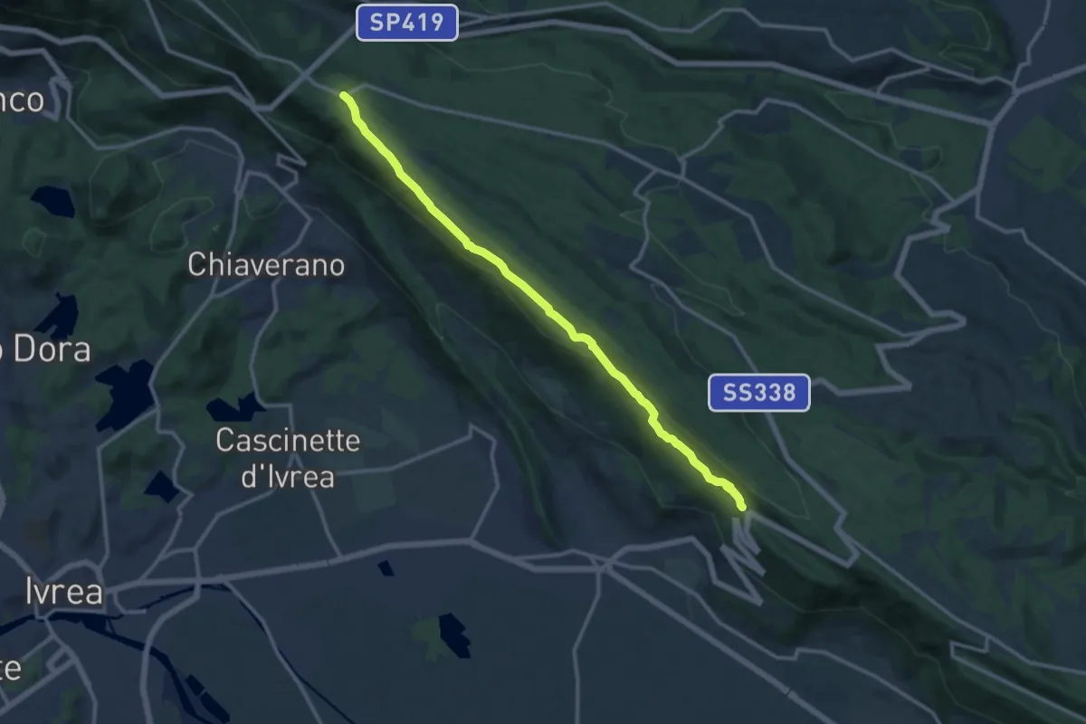
Medium · Trail
Broglina – Bivio BIAB44-BIAS01-BIAS05, Scalveis
13.0 km · ↑ 311 m · 3 h 44 min · 7 km away
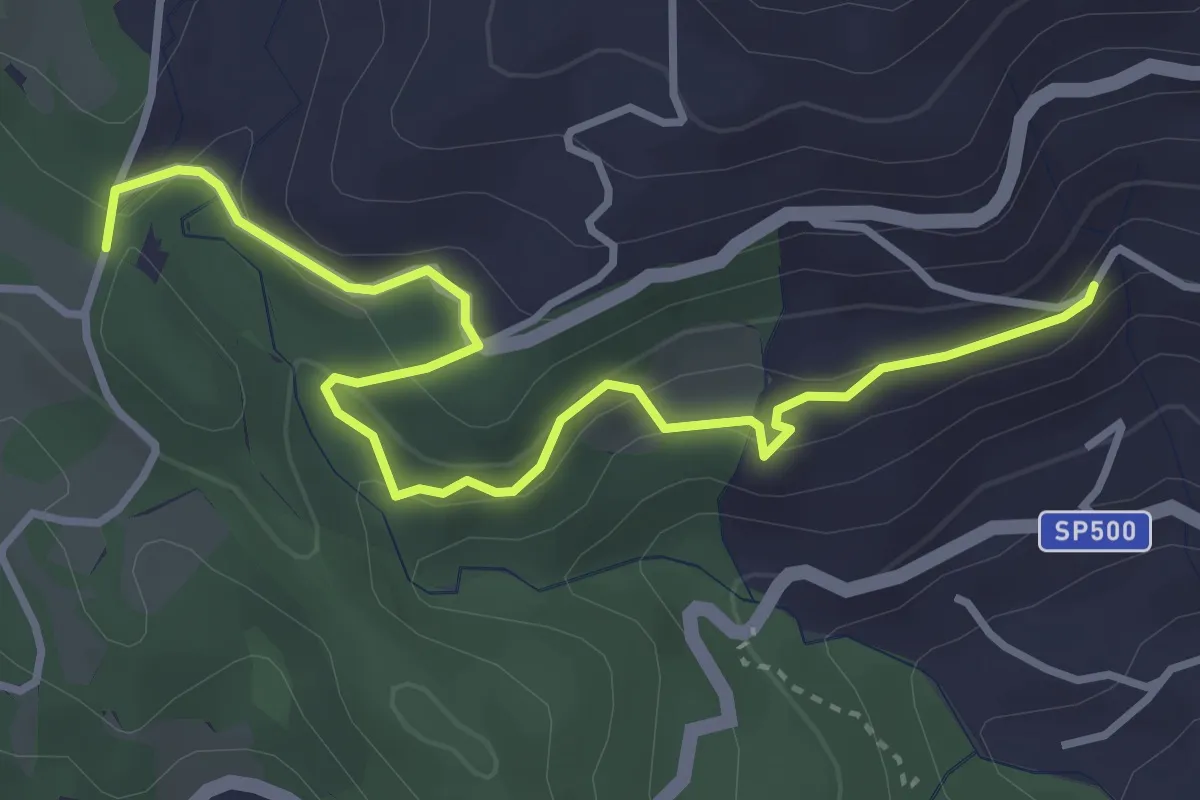
Easy · Trail
Donato Pralungo, bivio BIAB30-BIAB31 – Ponte Viona, bivio BIAB45-BIAB31
4.1 km · ↑ 195 m · 1 h 24 min · 8 km away
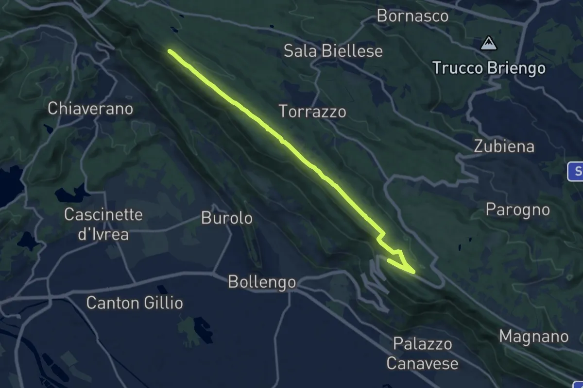
Medium · Trail
Bivio BIAS01A-BIAS02, Magnano – Bivio BIAS02-BIAS05
13.2 km · ↑ 199 m · 3 h 33 min · 8 km away
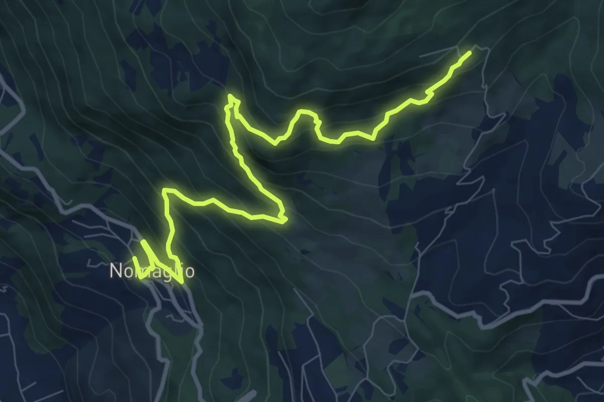
Demanding · Trail
Nomaglio, bivio TON871-TON881 – Andrate, frazione San Giacomo, bivio TON871-TON872
10.5 km · ↑ 939 m · 4 h 31 min · 8 km away
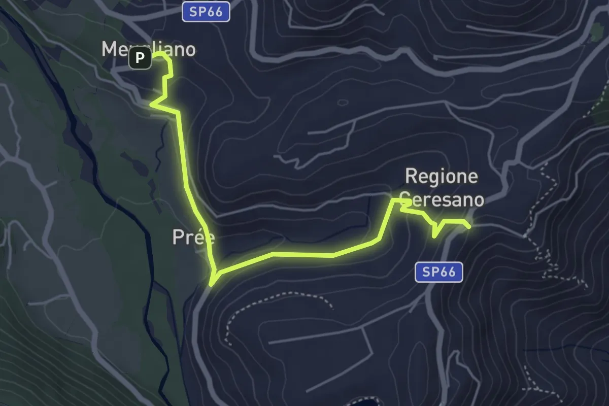
Easy · Trail
Alta Via dell’Anfiteatro Morenico di Ivrea - Itinerario di Collegamento di Meugliano
5.1 km · ↑ 163 m · 1 h 34 min · 8 km away