Trails near La Spezia
200 hikes starting within 15 km, nearest first.
Nearest first, page 1 of 5
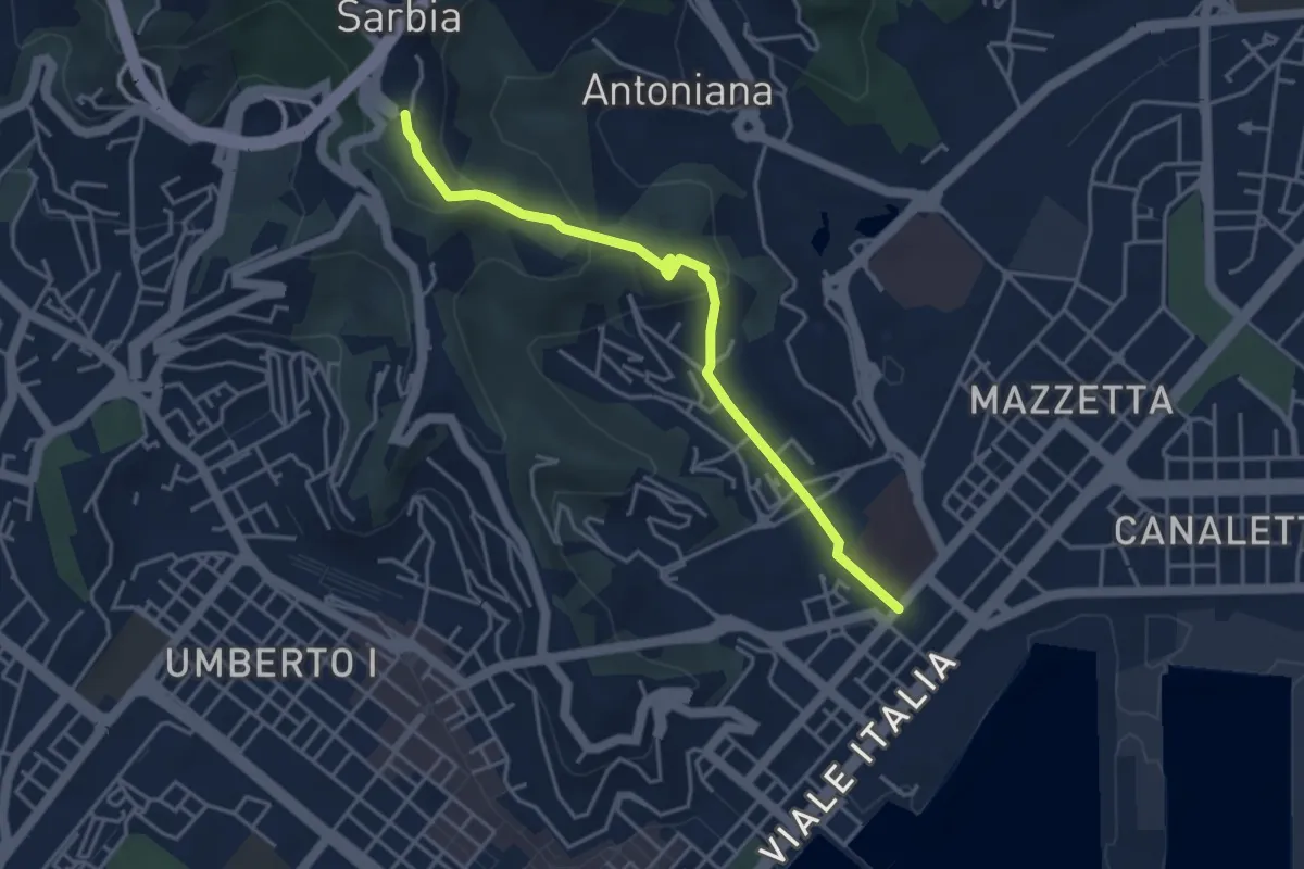
Easy · Trail
Via Veneto – Valdellora – Castellazzo – Sarbia
4.1 km · ↑ 153 m · 1 h 18 min · 1 km away
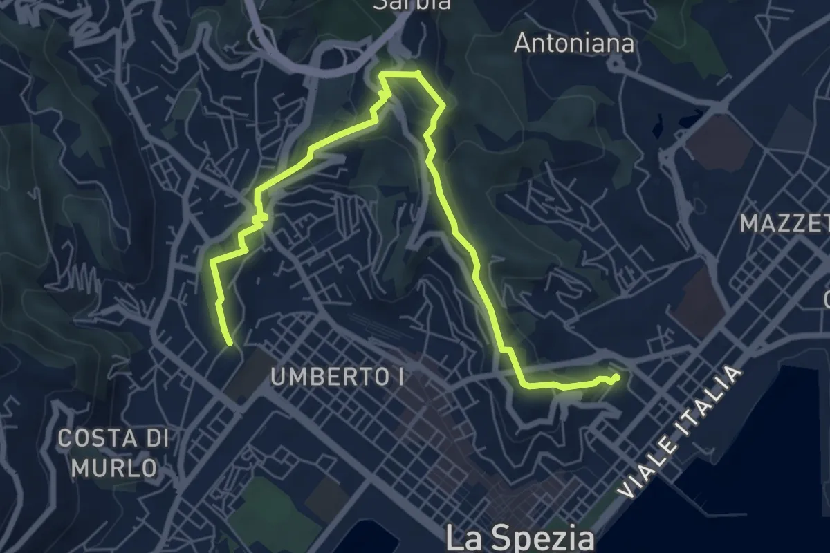
Medium · Trail
Giro delle Mura
7.8 km · ↑ 325 m · 2 h 33 min · 2 km away
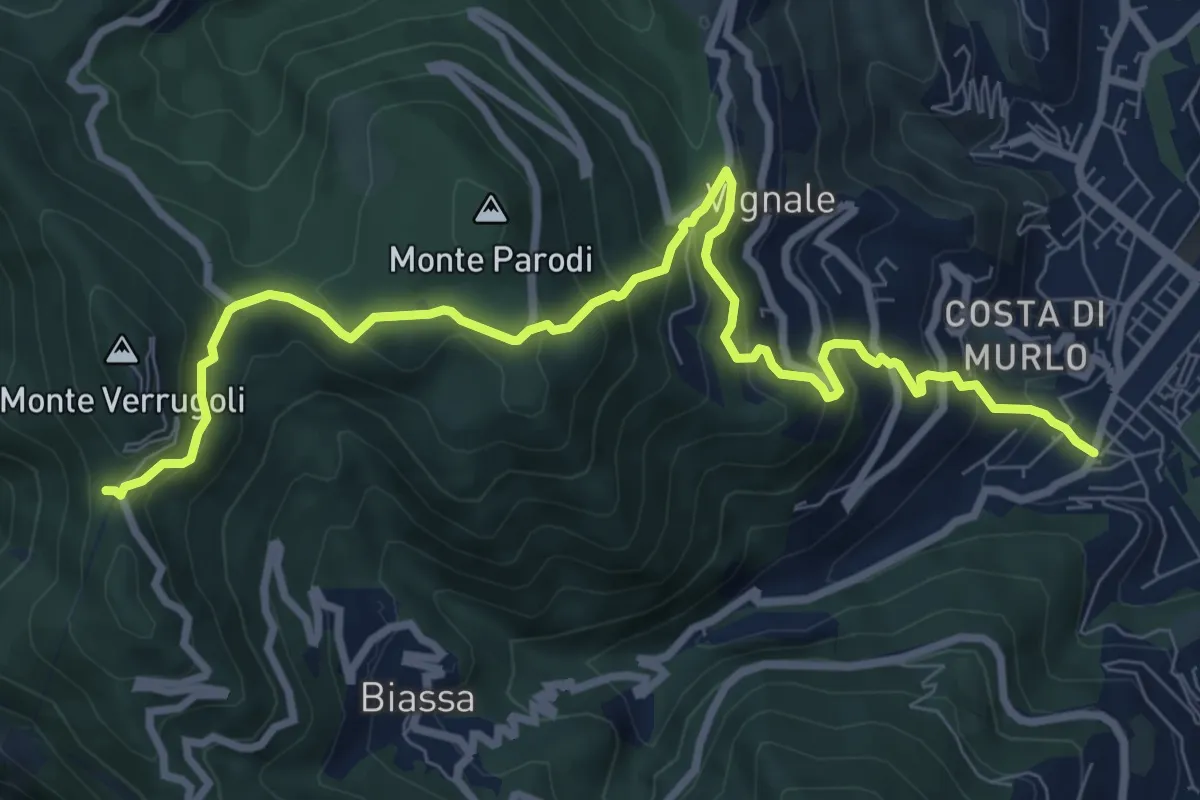
Demanding · Trail
Pegazzano – Bivio Bramapane
10.3 km · ↑ 802 m · 4 h 10 min · 2 km away
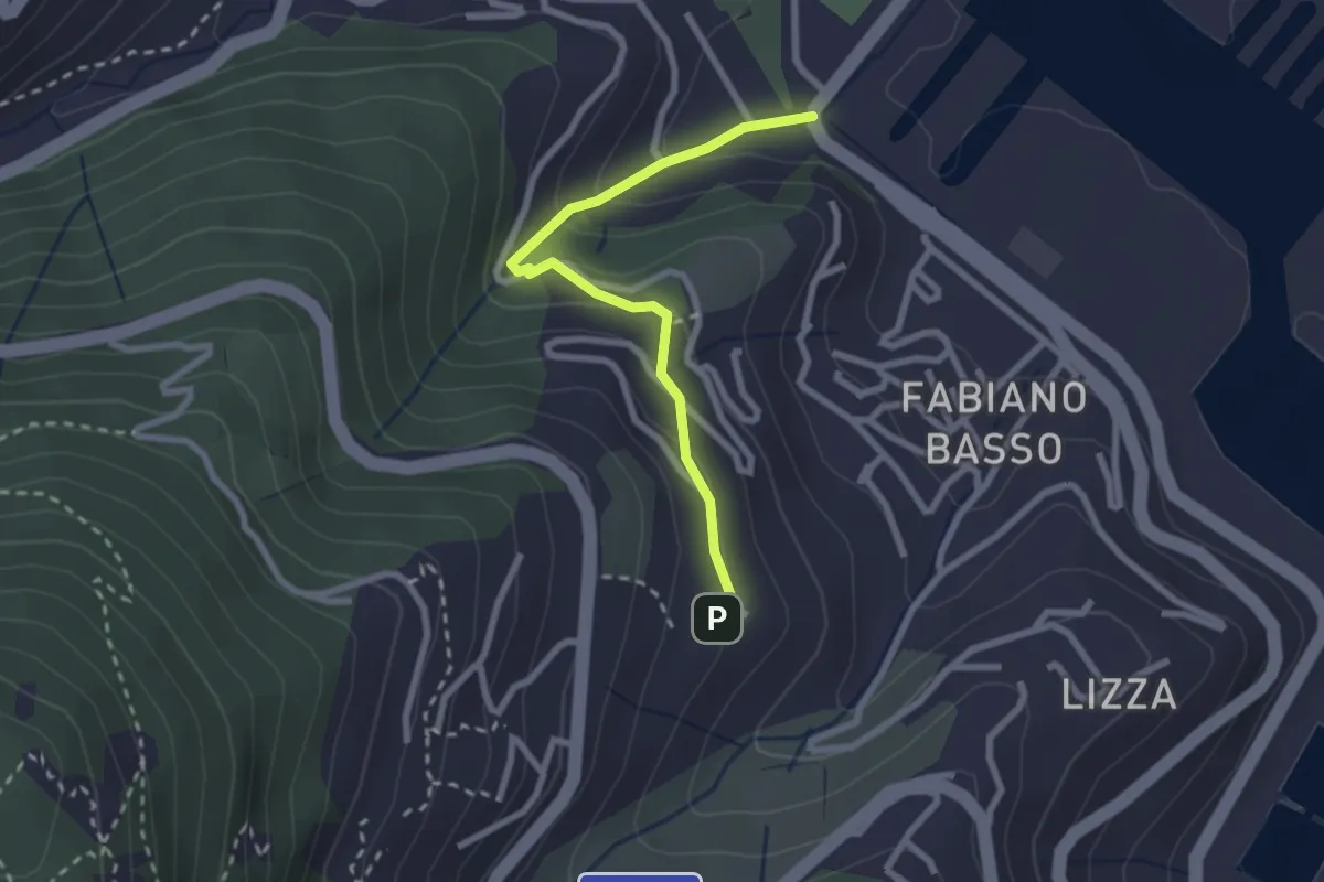
Easy · Trail
Buggi – Fabiano Alto
2.6 km · ↑ 178 m · 59 min · 2 km away
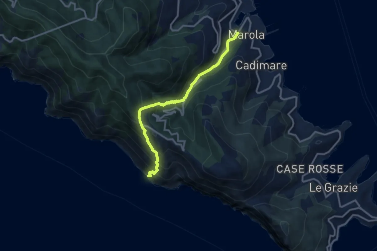
Medium · Trail
Acquasanta – Punta Persico
8.1 km · ↑ 787 m · 3 h 37 min · 2 km away
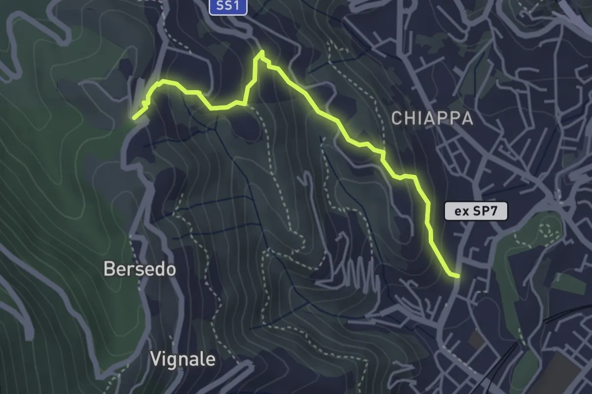
Easy · Trail
Rebocco – Sant'Anna
4.1 km · ↑ 270 m · 1 h 34 min · 2 km away
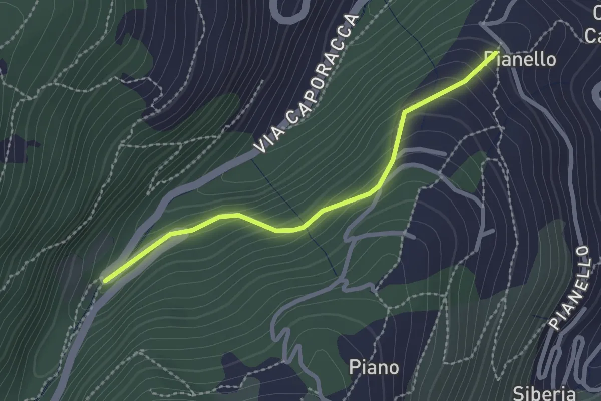
Easy · Trail
Montale – innesto sent. 528
2.2 km · ↑ 140 m · 50 min · 2 km away
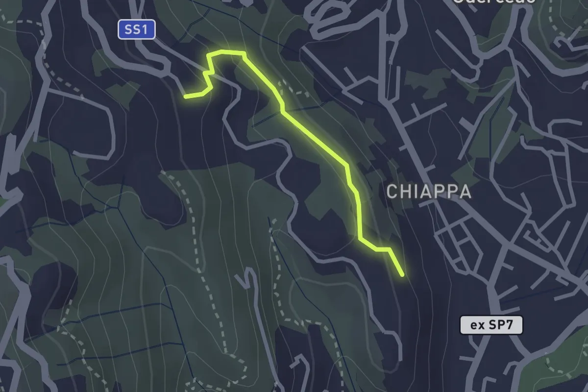
Easy · Trail
Maggiano – Bocca Lupara
2.1 km · ↑ 122 m · 46 min · 2 km away
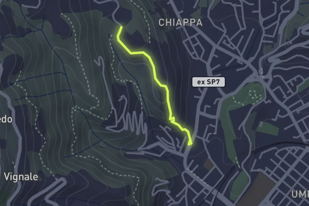
Easy · Trail
Rebocco – Torracca Inferiore
2.0 km · ↑ 99 m · 41 min · 3 km away
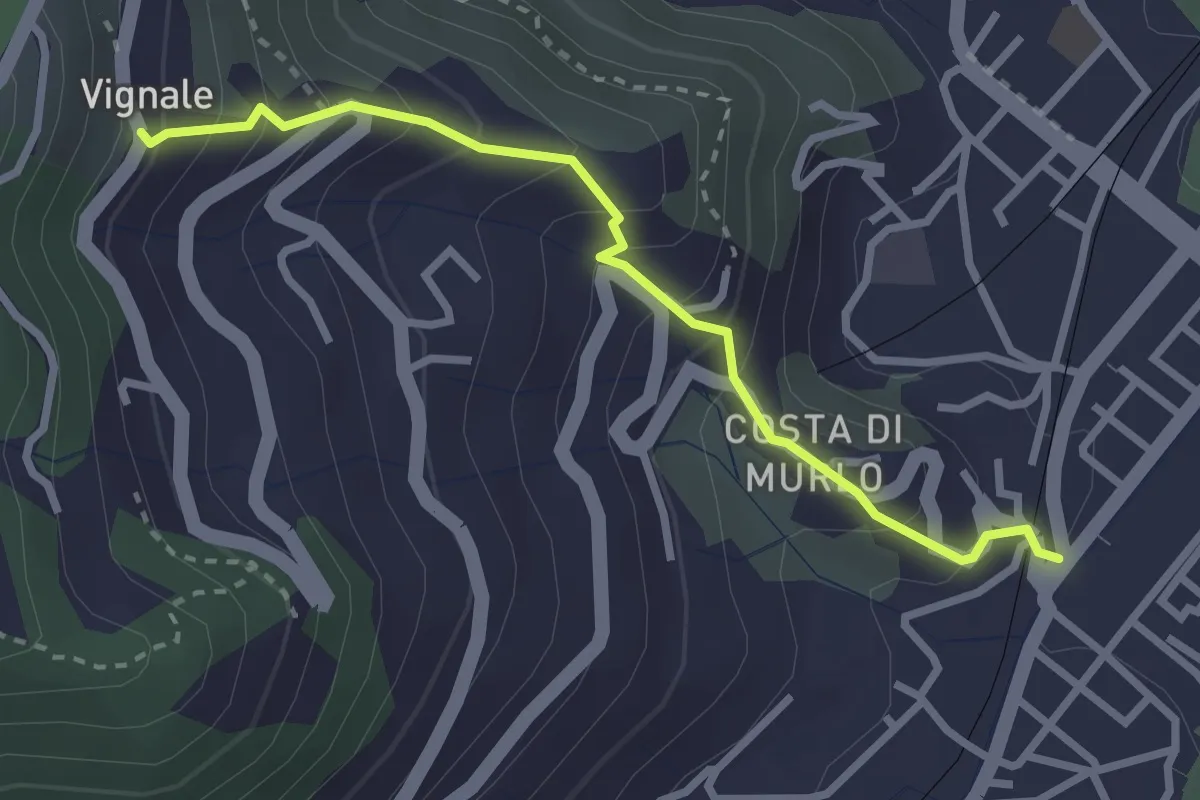
Easy · Trail
Pegazzano – Scalinata Costellino – Vignale
2.9 km · ↑ 284 m · 1 h 19 min · 3 km away
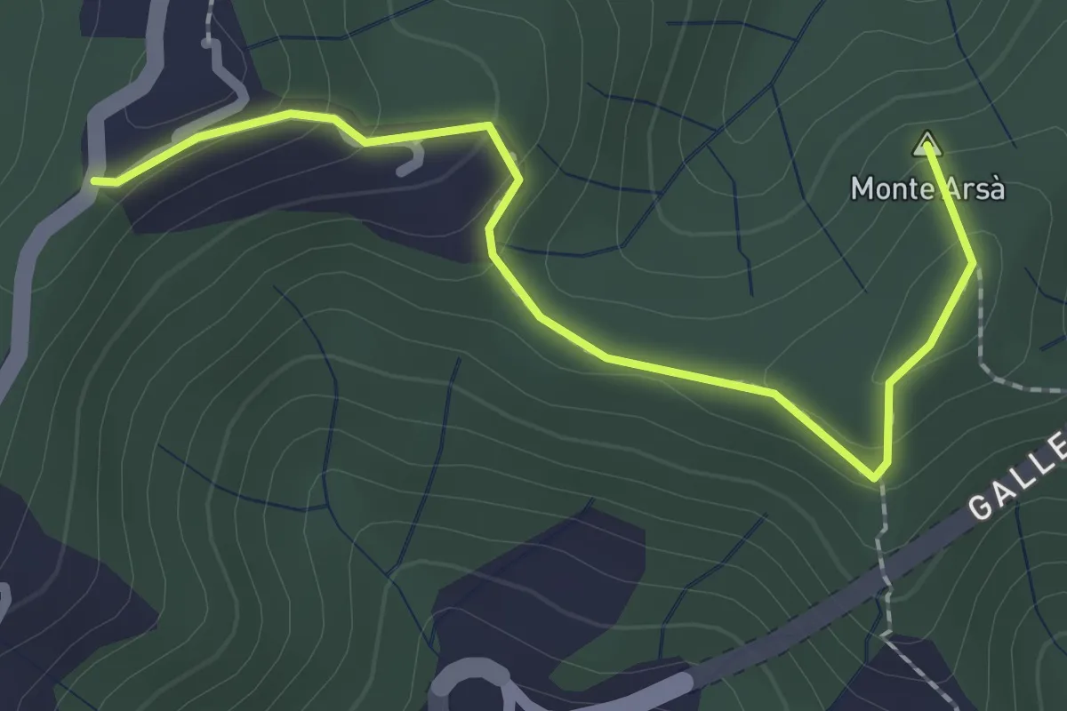
Easy · Summit
Montepertico – M. Arsà – La Moggia – innesto AVG
2.4 km · ↑ 122 m · 49 min · 3 km away
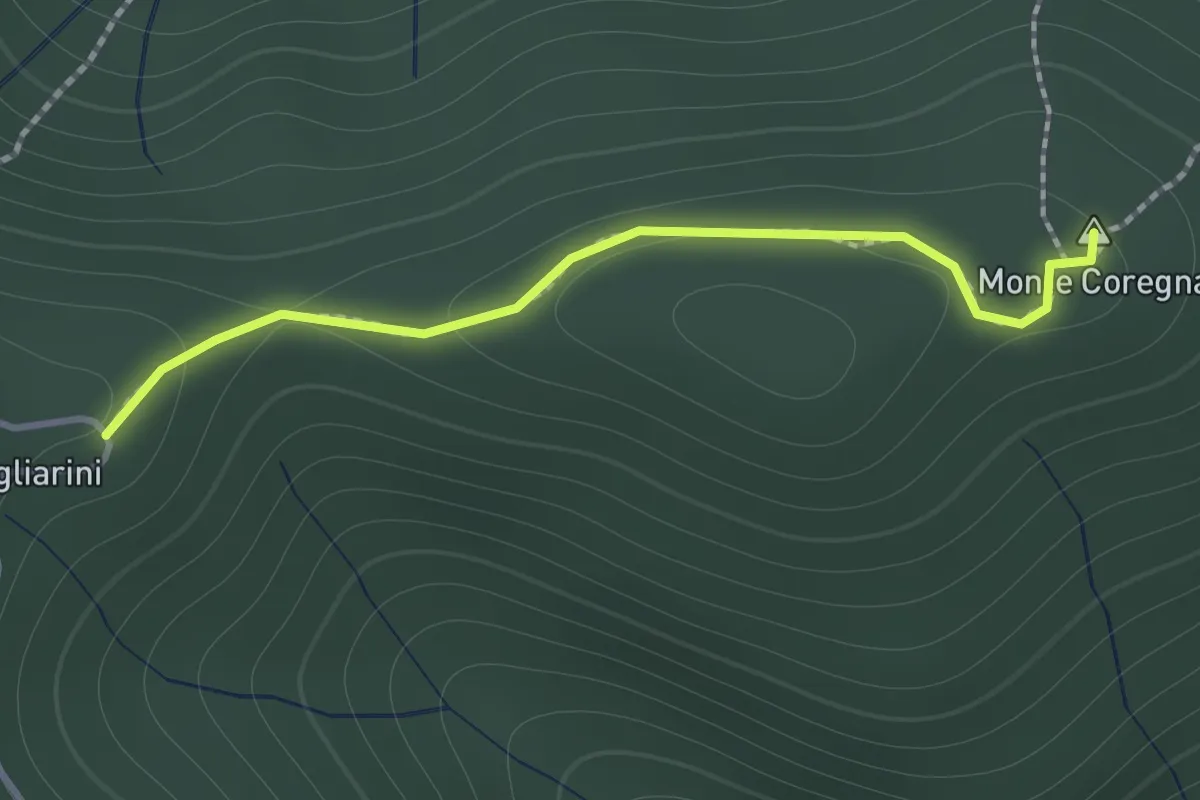
Expert · Summit
Coregna -P.ta Coregna – Sella Scogliarini
1.3 km · ↑ 49 m · 25 min · 3 km away
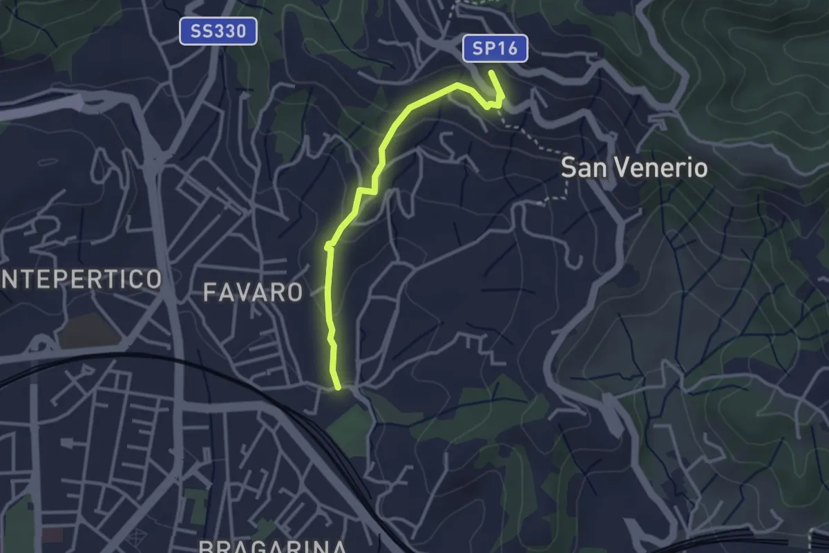
Easy · Trail
La Pieve – Carozzo (via della Lobbia)
2.9 km · ↑ 127 m · 57 min · 3 km away
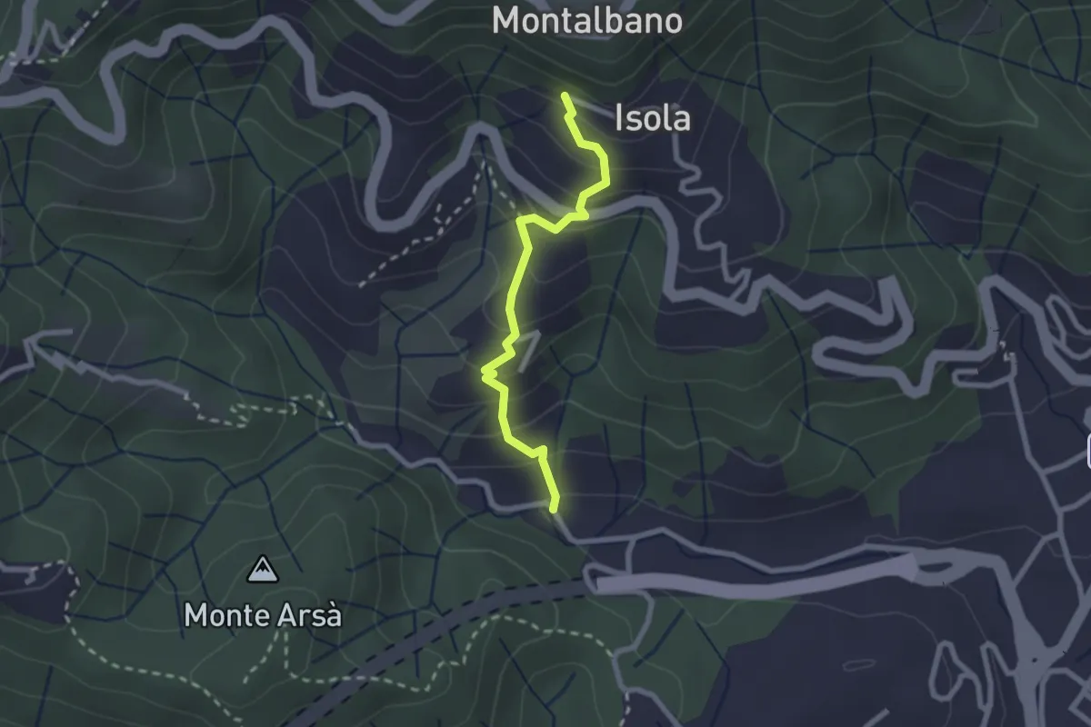
Easy · Trail
Felettino - Montalbano (Scalinata del Forno)
2.2 km · ↑ 220 m · 1 h · 3 km away
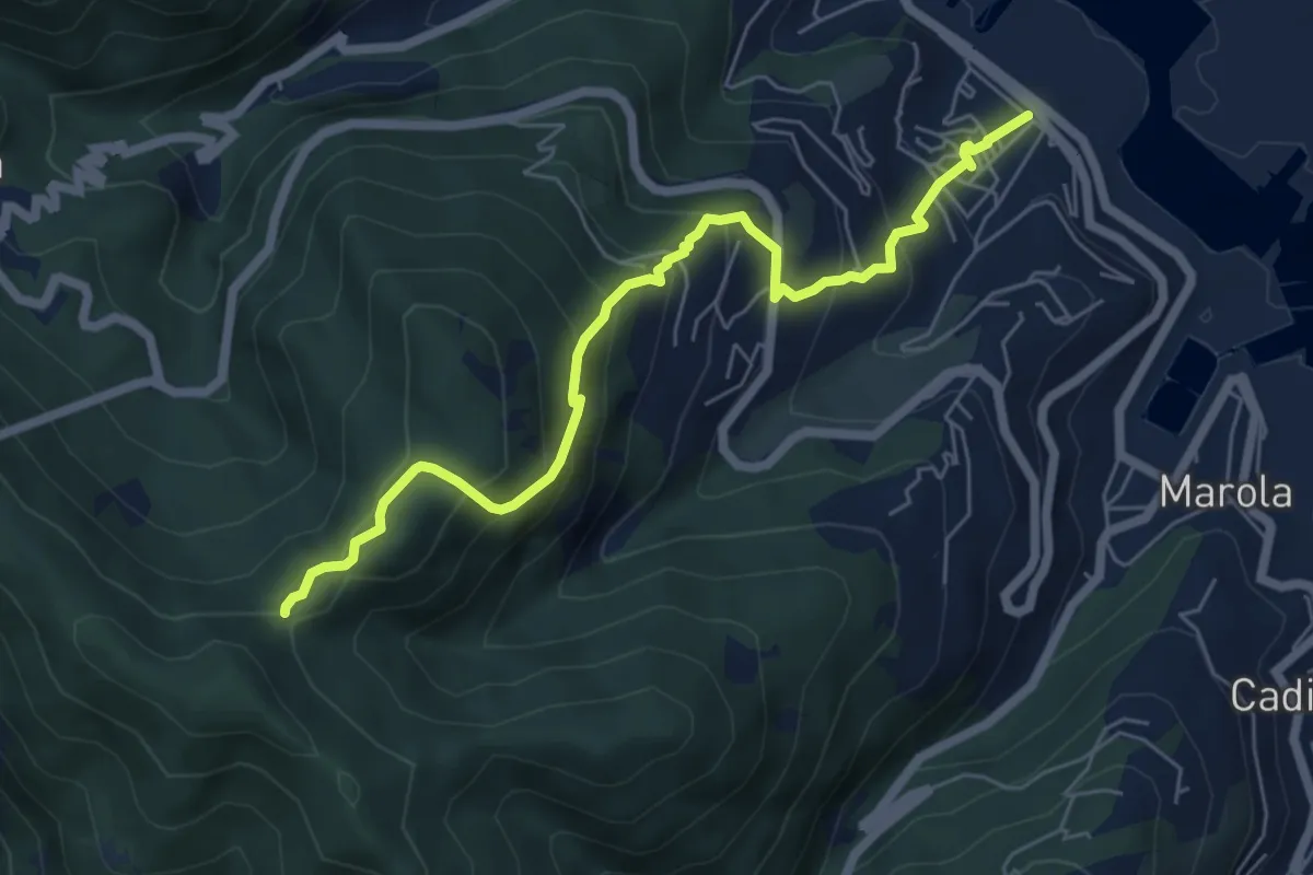
Expert · Trail
Fabiano – Mad.na dell'Olmo – Cà Pilloa – Sella Gesuela
6.6 km · ↑ 553 m · 2 h 46 min · 3 km away
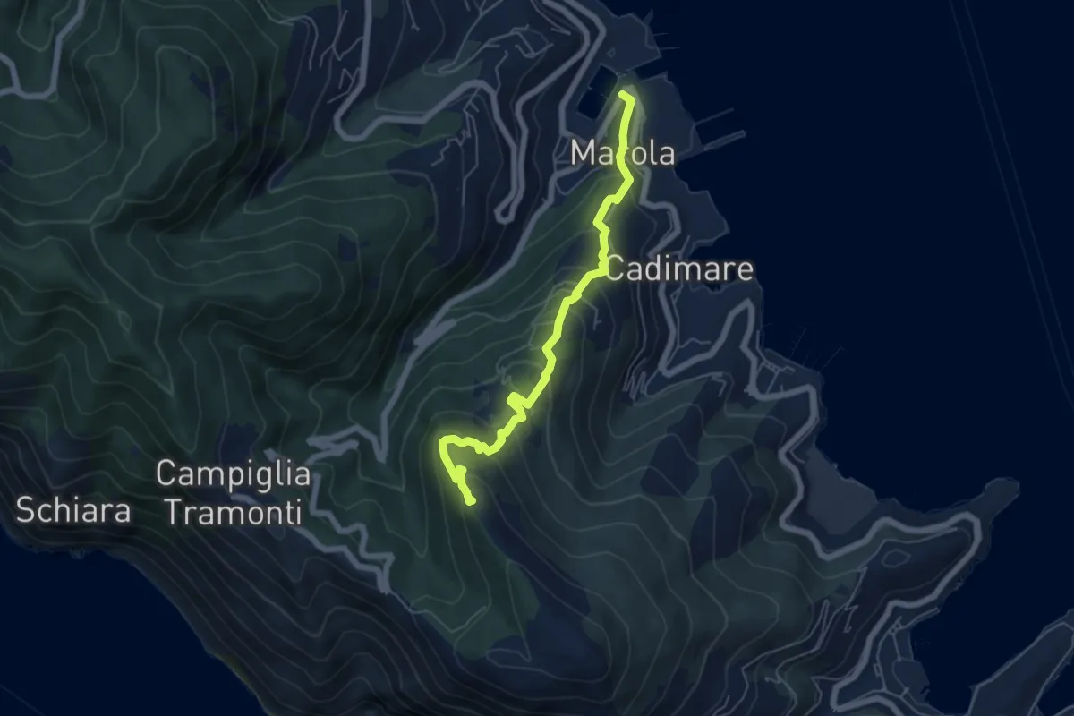
Medium · Trail
Marola – Il Piano – Cave del Piano
5.9 km · ↑ 437 m · 2 h 20 min · 3 km away
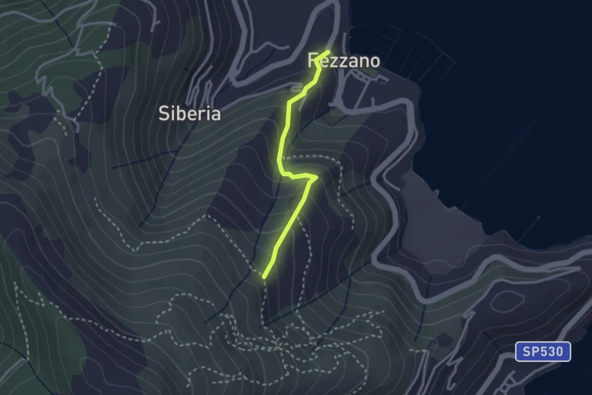
Easy · Trail
Fezzano – Case Villano
2.3 km · ↑ 217 m · 1 h 1 min · 3 km away
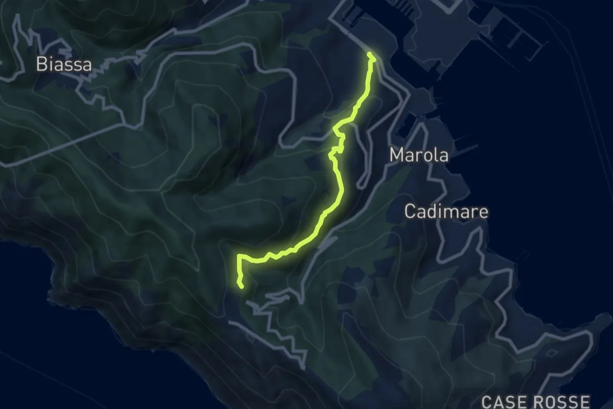
Demanding · Trail
Fabiano – Campiglia
6.8 km · ↑ 493 m · 2 h 40 min · 4 km away
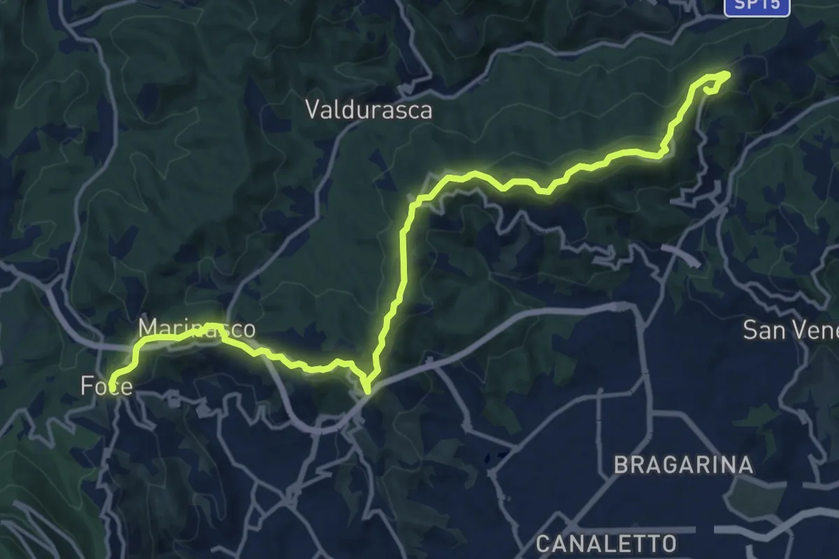
Medium · Summit
Alta Via del Golfo: Il Termo - La Foce
17.1 km · ↑ 574 m · 5 h 16 min · 4 km away
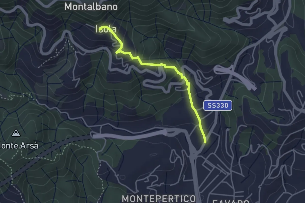
Easy · Trail
Felettino - Isola (Via dei Pilastri)
3.2 km · ↑ 238 m · 1 h 16 min · 4 km away
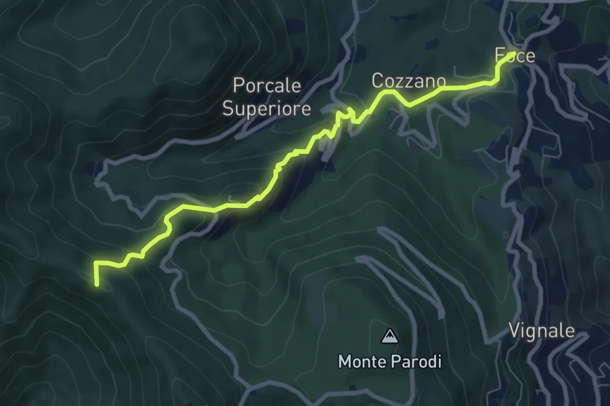
Medium · Summit
Sentiero 501 - Riomaggiore – Sella La Croce – Carpena – La Foce
7.1 km · ↑ 457 m · 2 h 40 min · 4 km away
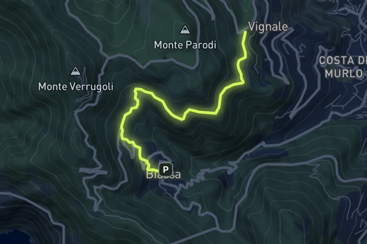
Medium · Trail
Bersedo – Biassa
7.0 km · ↑ 398 m · 2 h 30 min · 4 km away
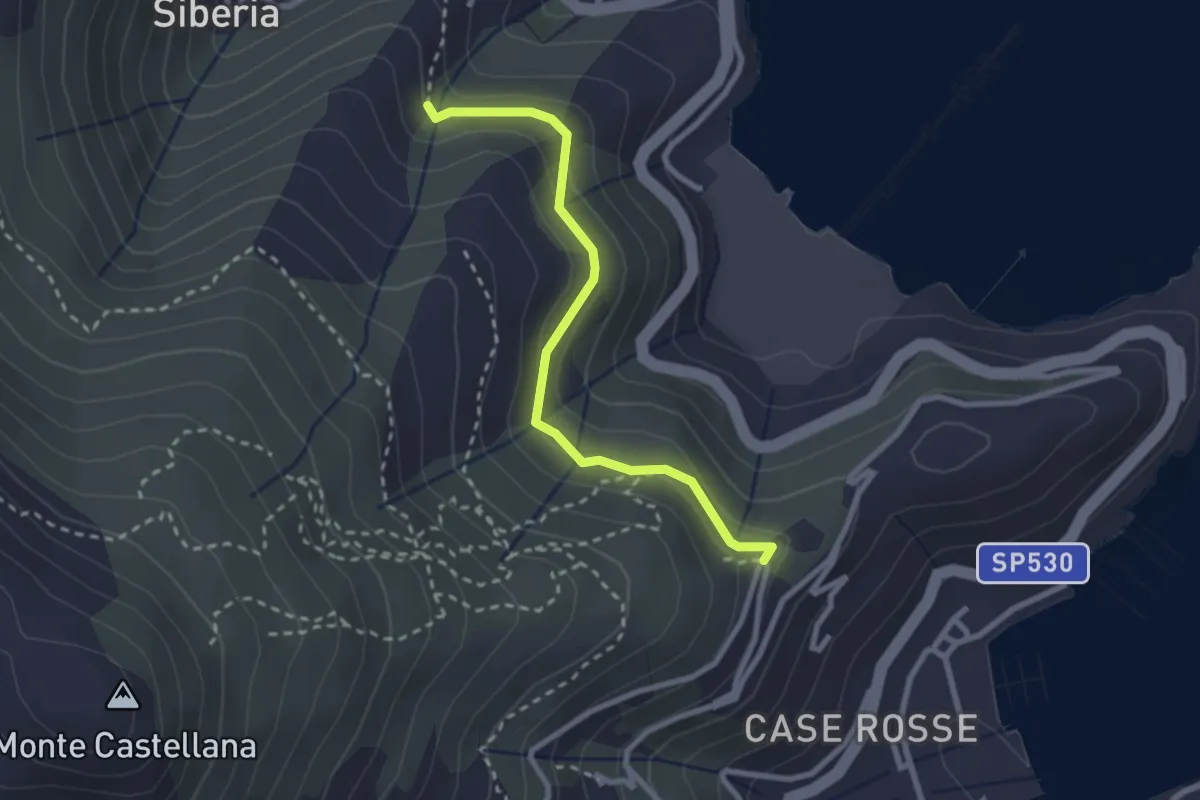
Easy · Trail
C. Giachetta – Via Pezzino Alto
2.7 km · ↑ 142 m · 56 min · 4 km away
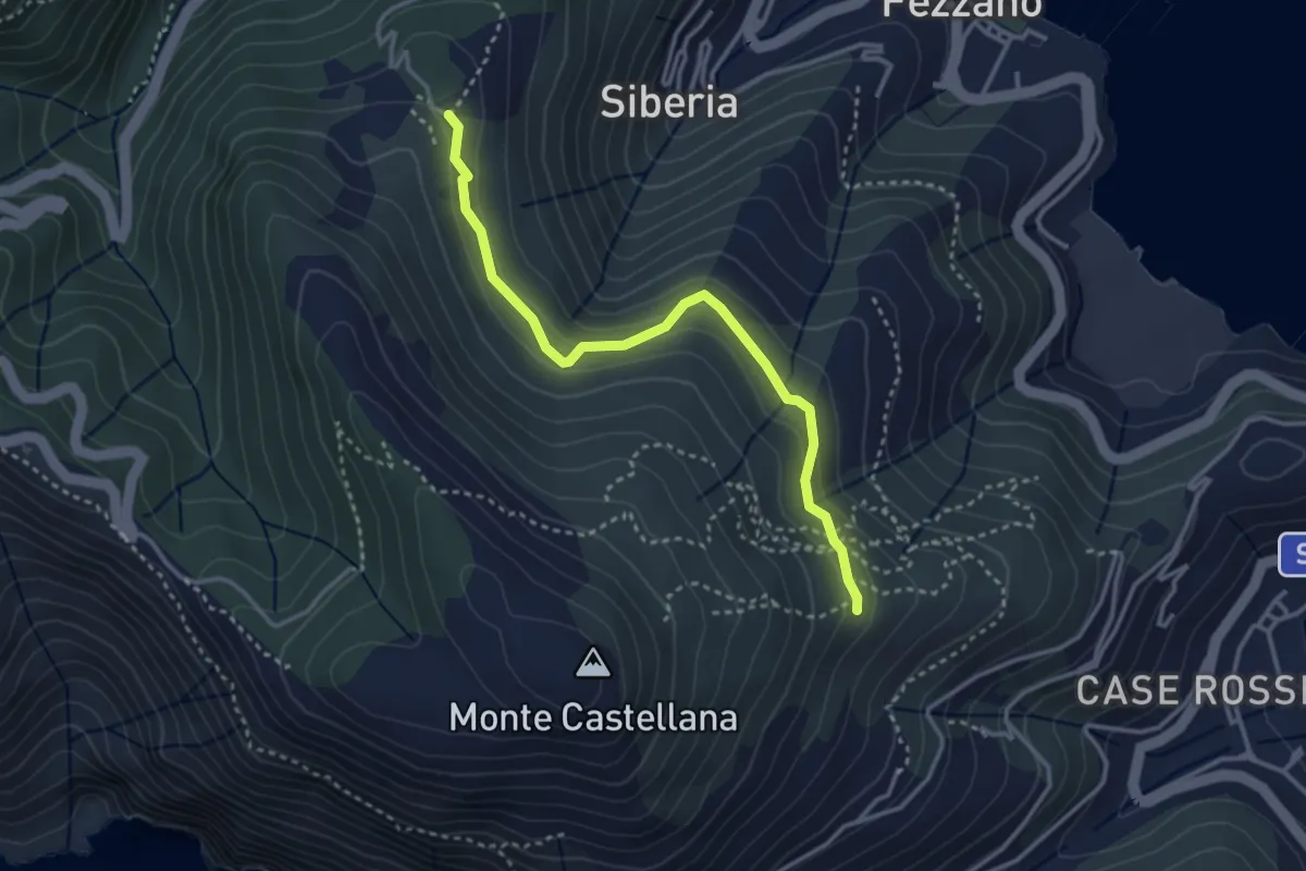
Easy · Trail
Il Piano – Case Villano
3.5 km · ↑ 133 m · 1 h 7 min · 4 km away
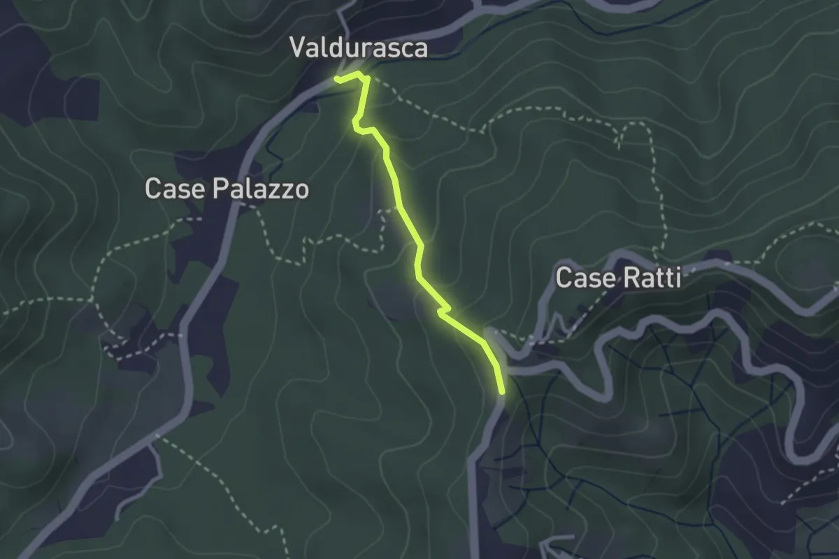
Easy · Trail
Durasca – Campasso – Serrolungo – innesto AVG
2.2 km · ↑ 128 m · 48 min · 4 km away
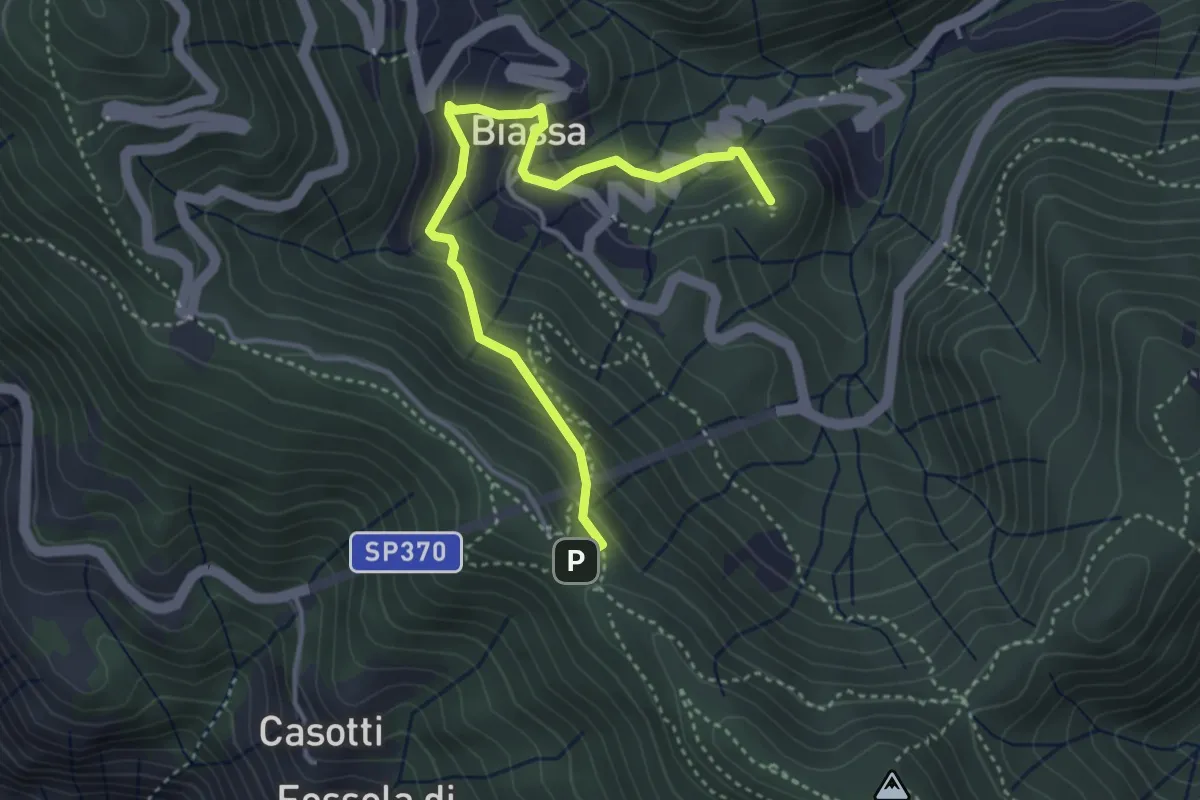
Medium · Summit
Sentiero Liguria - Tappa 3 - variante
4.3 km · ↑ 332 m · 1 h 44 min · 4 km away
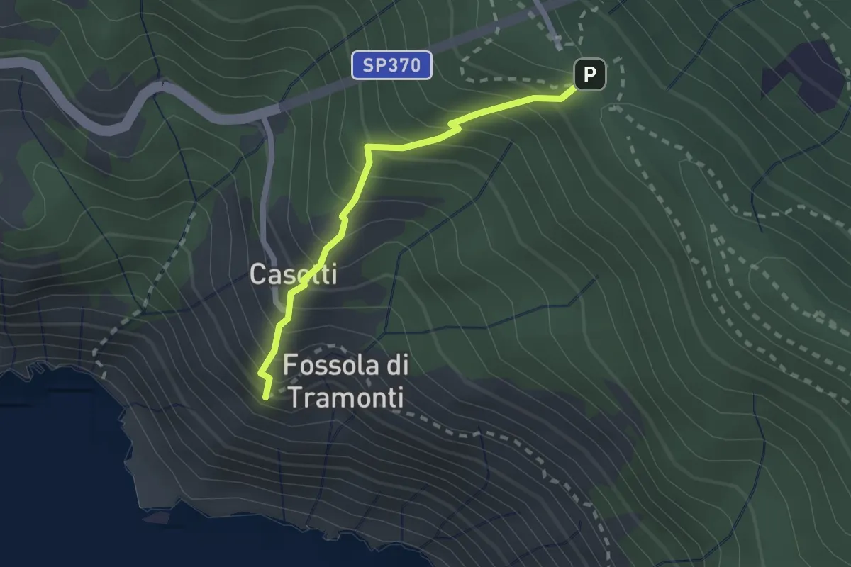
Easy · Trail
Sant'Antonio – Fossola
2.0 km · ↑ 315 m · 1 h 9 min · 4 km away
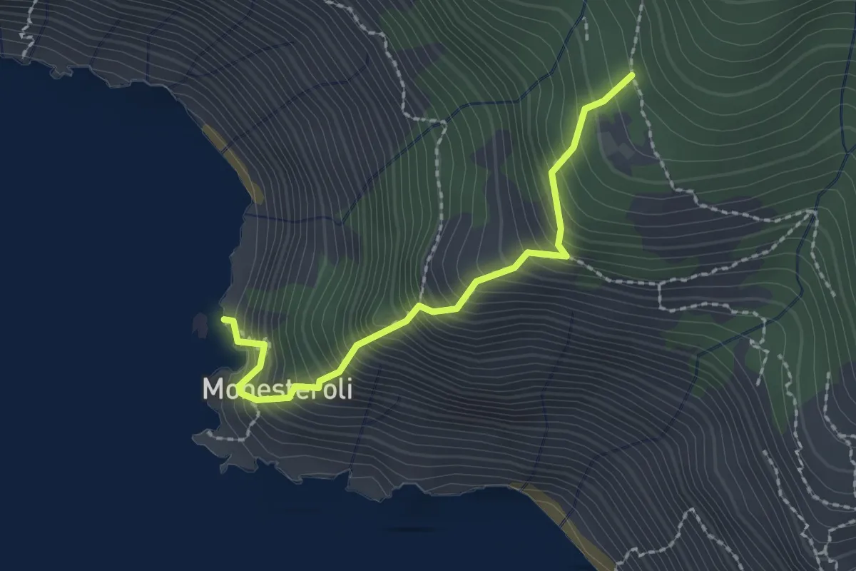
Medium · Trail
Scalinata Monesteroli
2.1 km · ↑ 434 m · 1 h 27 min · 4 km away
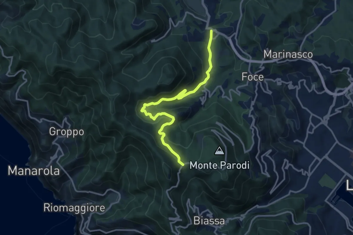
Medium · Trail
S.Benedetto – Porcale -Codeglia – Carpena – Sella di Carpena
11.4 km · ↑ 523 m · 3 h 50 min · 4 km away
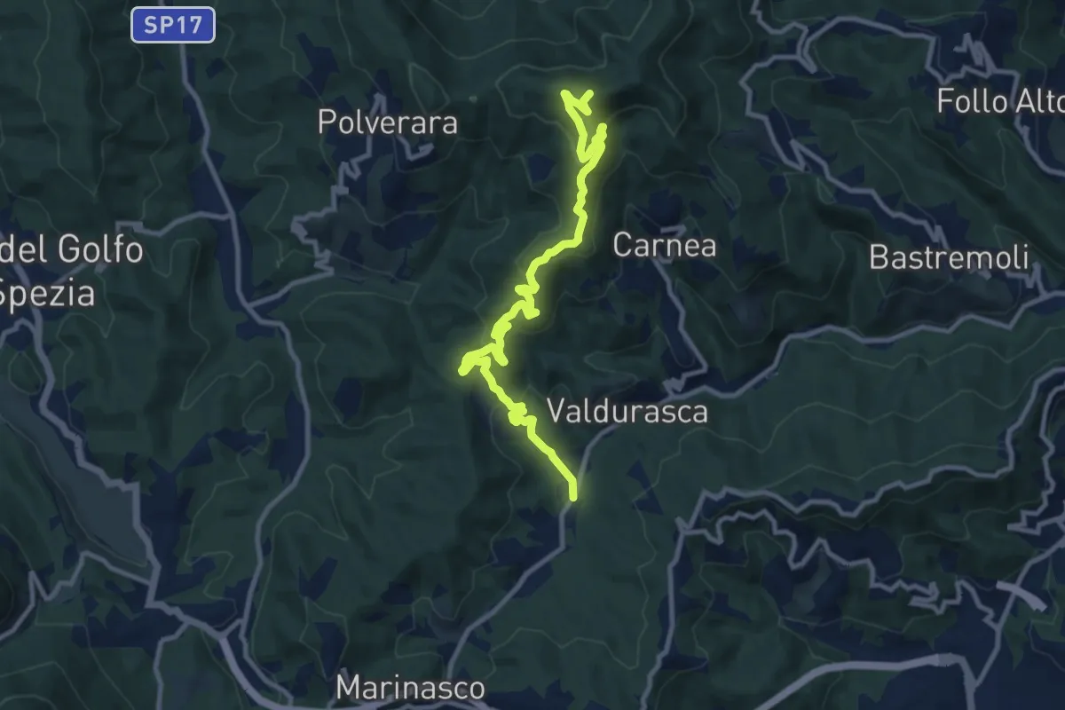
Medium · Summit
Case Palazzo – Passo di Ri – La Gretta – Monte Croce
11.8 km · ↑ 620 m · 4 h 8 min · 4 km away
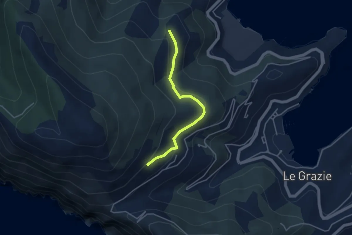
Easy · Trail
C. Tori – I Bondoni – C. Derbi
3.1 km · ↑ 143 m · 1 h 2 min · 4 km away
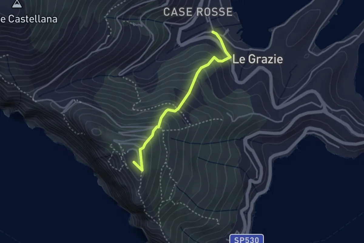
Medium · Summit
Le Grazie – La Martina
2.9 km · ↑ 307 m · 1 h 21 min · 4 km away
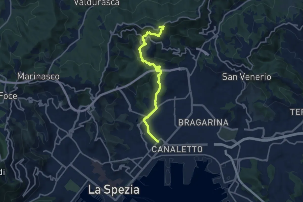
Medium · Trail
Via Veneto – Vailunga – Toracca – Isola – Montalbano
9.6 km · ↑ 452 m · 3 h 14 min · 4 km away
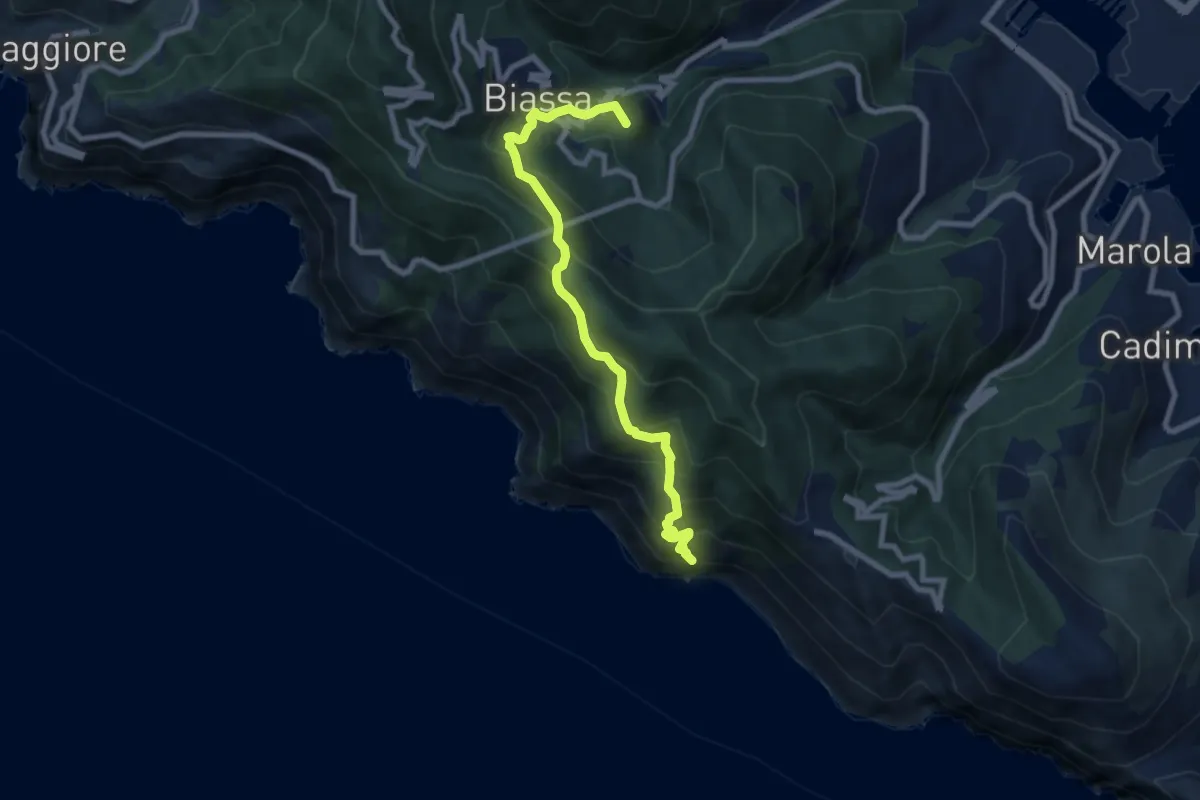
Medium · Summit
Pegazzano – Biassa – S.Antonio – Schiara
8.4 km · ↑ 746 m · 3 h 36 min · 4 km away
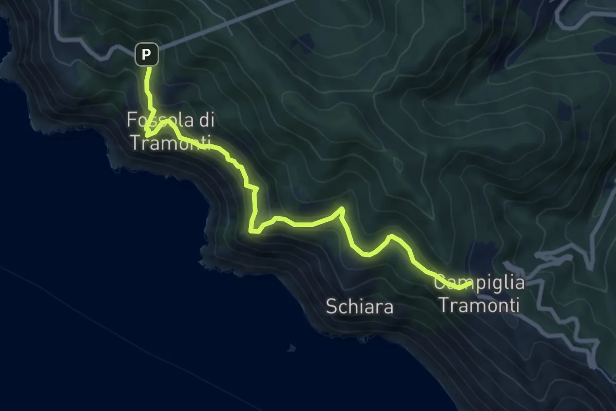
Medium · Trail
Campiglia - Fossola - S.P. 370 Litoranea
7.2 km · ↑ 626 m · 3 h 4 min · 5 km away
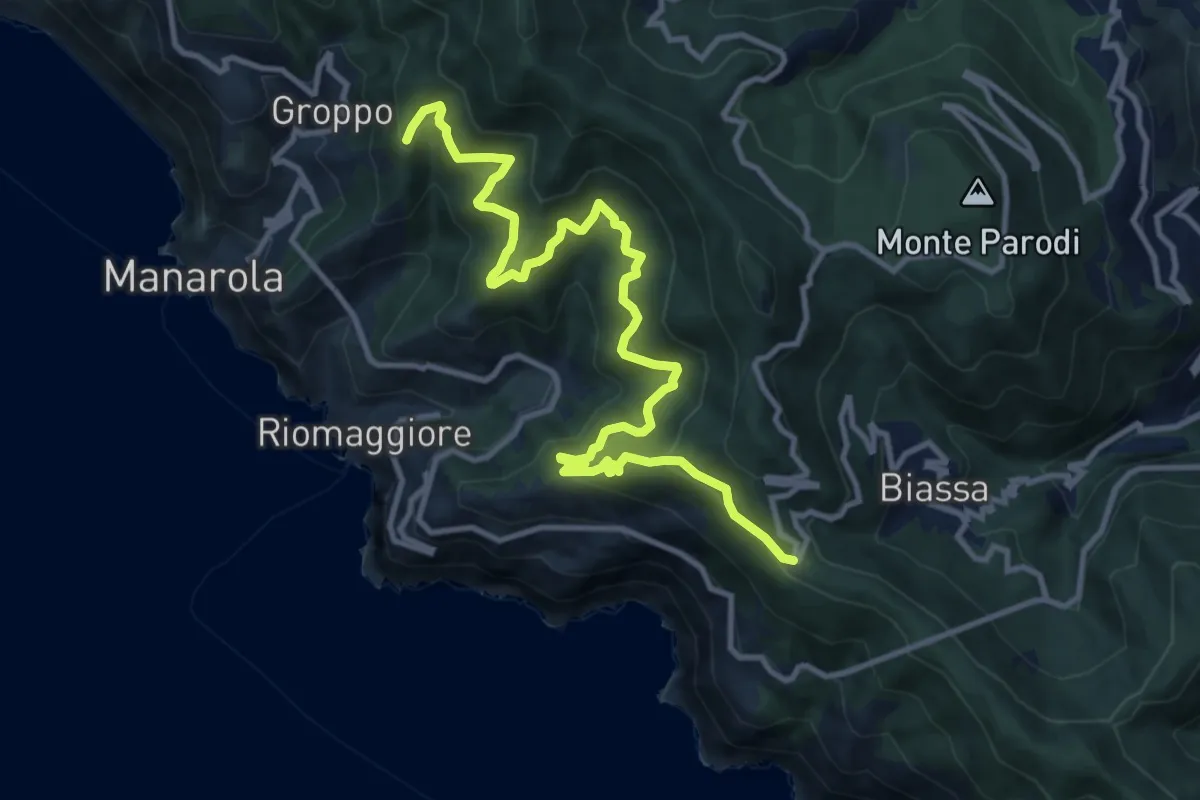
Demanding · Summit
Telegrafo – Volastra (Strada dei Santuari)
13.5 km · ↑ 1102 m · 5 h 34 min · 5 km away
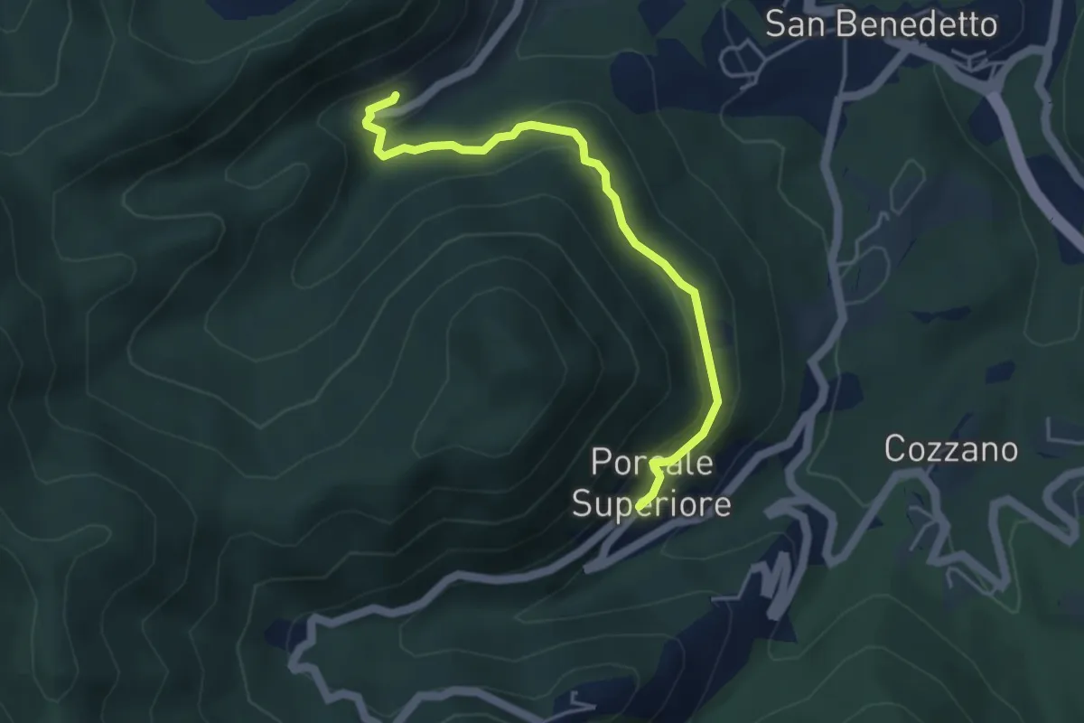
Medium · Trail
Quaratica – Porcale Superiore
4.2 km · ↑ 167 m · 1 h 22 min · 5 km away
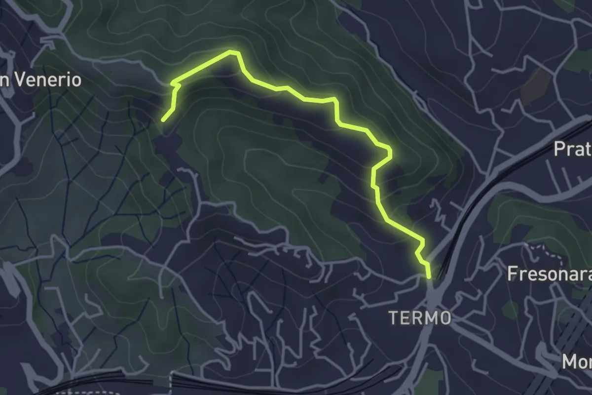
Easy · Trail
Variante AVG del Termo
3.7 km · ↑ 200 m · 1 h 19 min · 5 km away
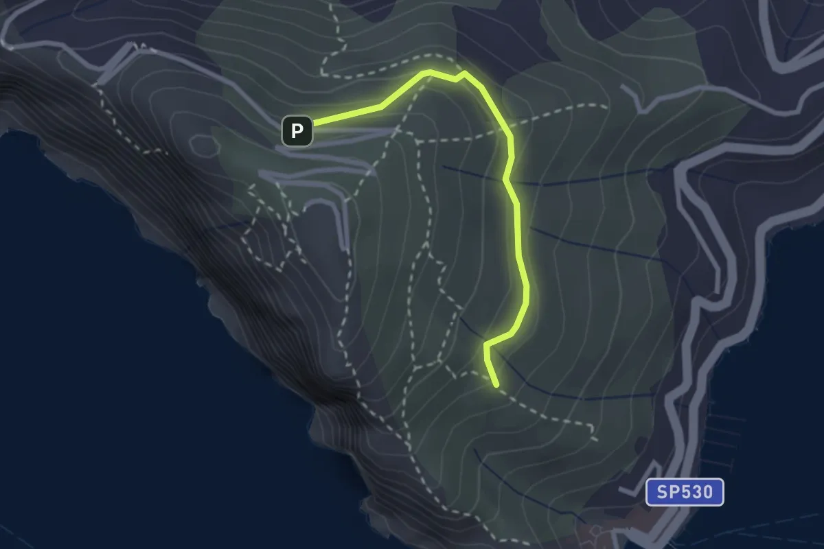
Easy · Trail
Cave del Muzzerone – innesto sent. 519
2.4 km · ↑ 117 m · 49 min · 5 km away
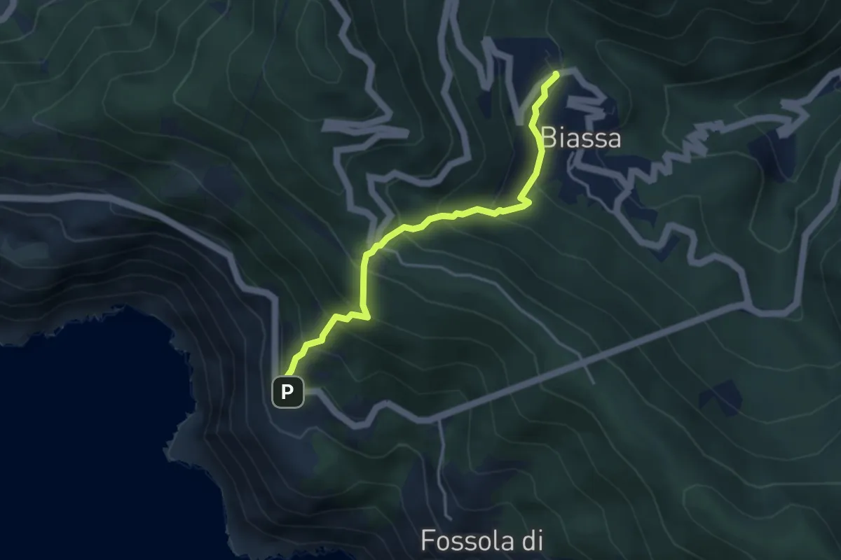
Medium · Trail
Biassa - Telegrafo – Campi - P.ta Pineda
3.8 km · ↑ 401 m · 1 h 46 min · 5 km away
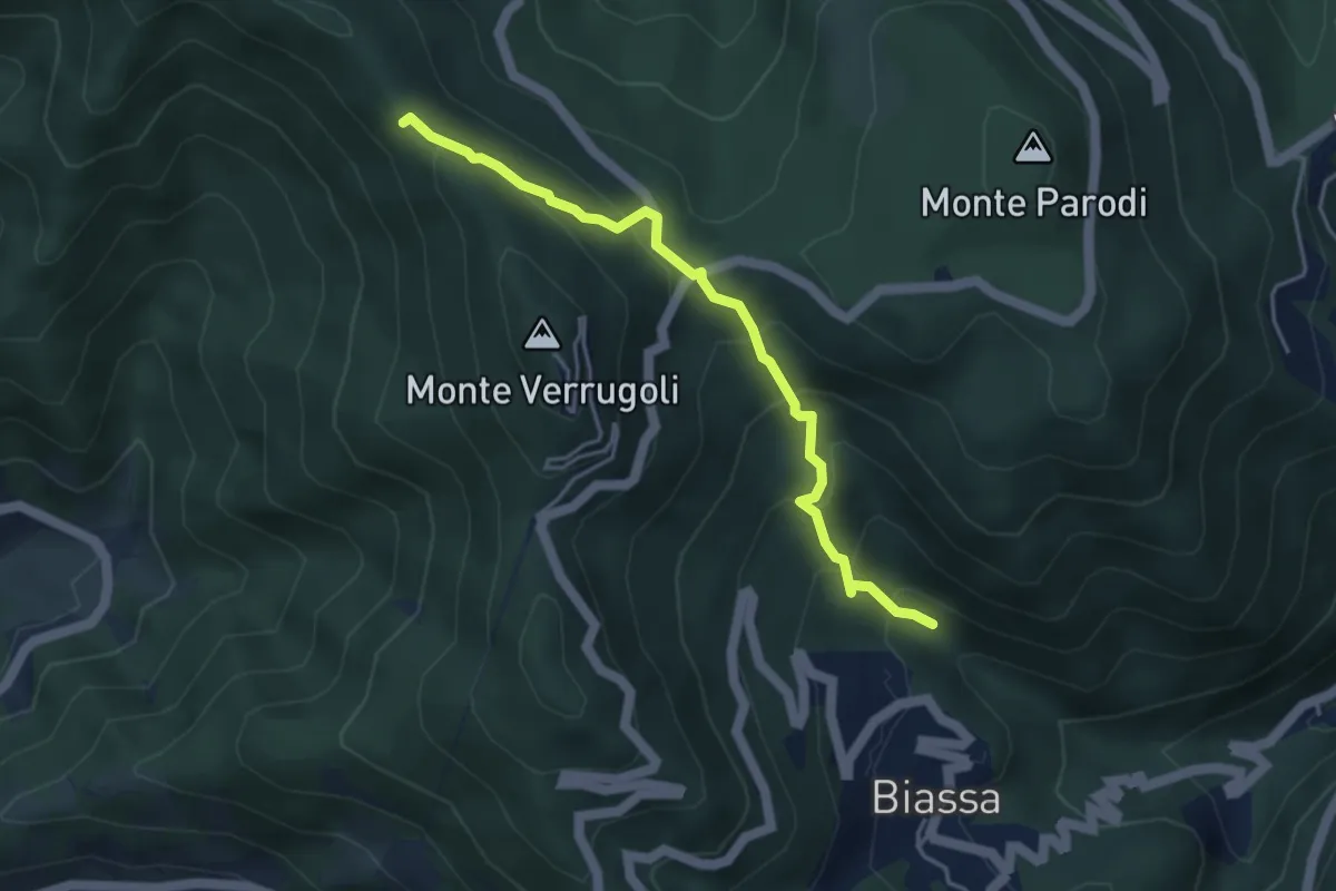
Medium · Trail
Fosso di Piazza – Appulso
4.2 km · ↑ 346 m · 1 h 45 min · 5 km away
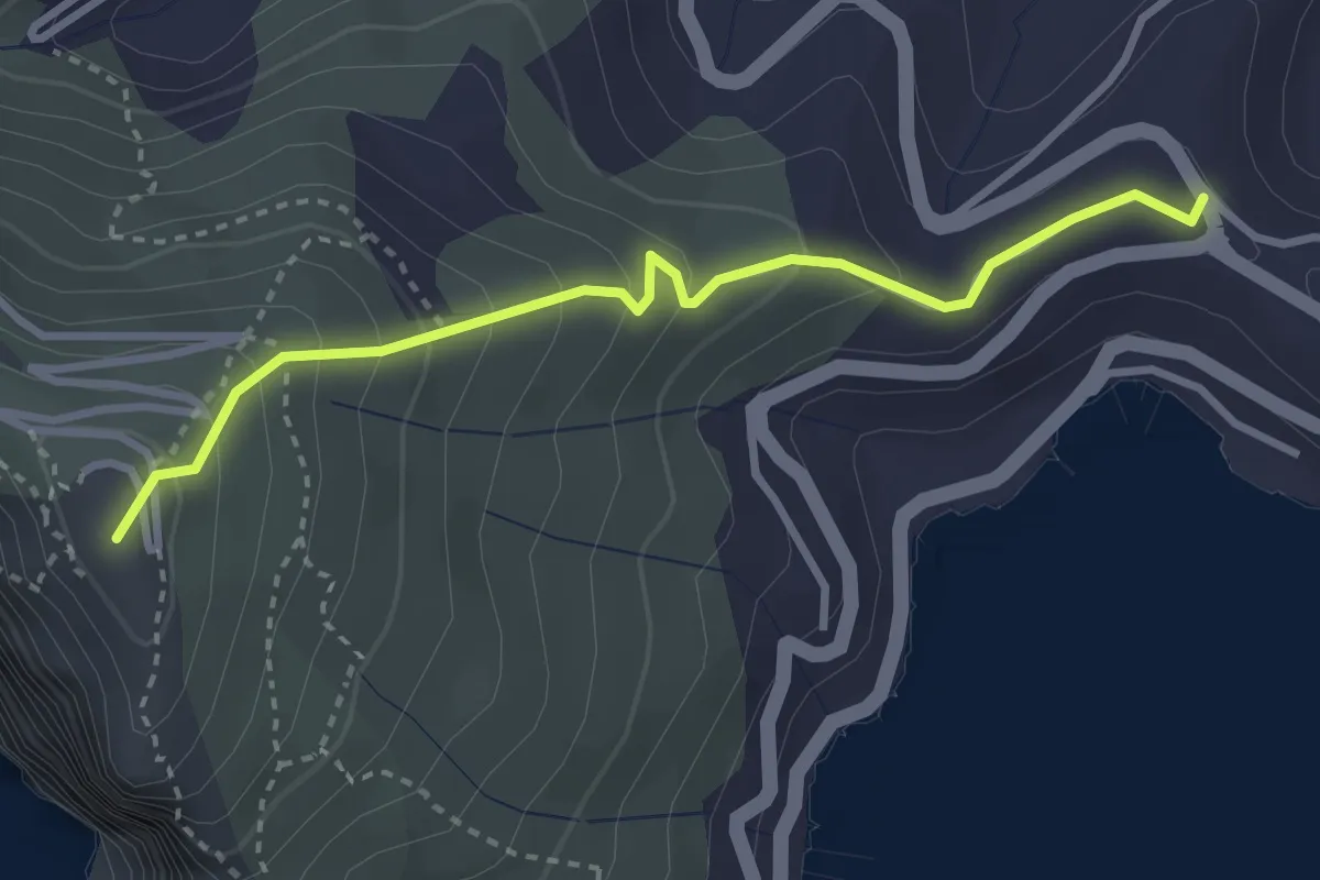
Easy · Summit
Località Il Cavo – Forte Muzzerone
3.3 km · ↑ 255 m · 1 h 20 min · 5 km away
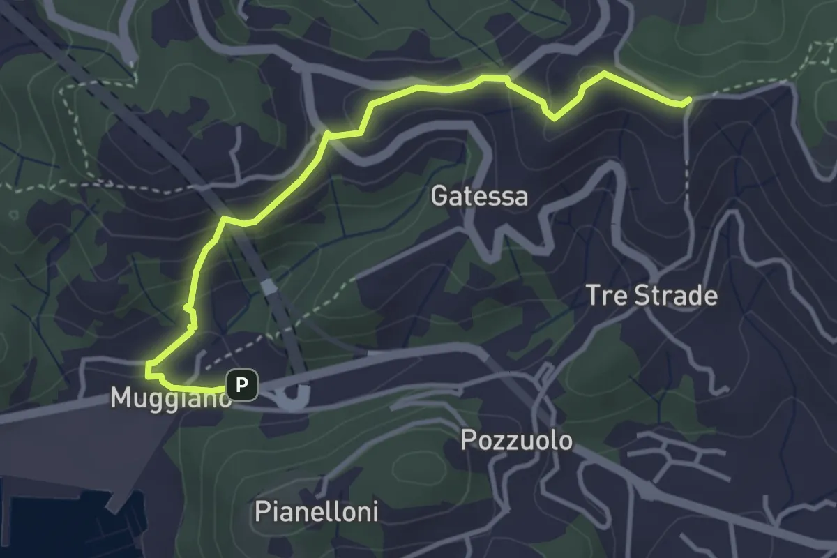
Easy · Trail
Muggiano – Sella Pin Bon
3.8 km · ↑ 194 m · 1 h 20 min · 5 km away
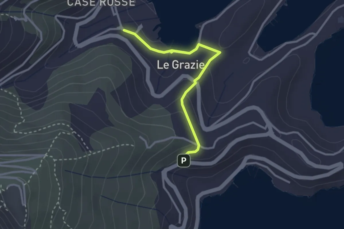
Easy · Trail
Le Grazie – Varignano - S. Antonio
2.6 km · ↑ 88 m · 48 min · 5 km away
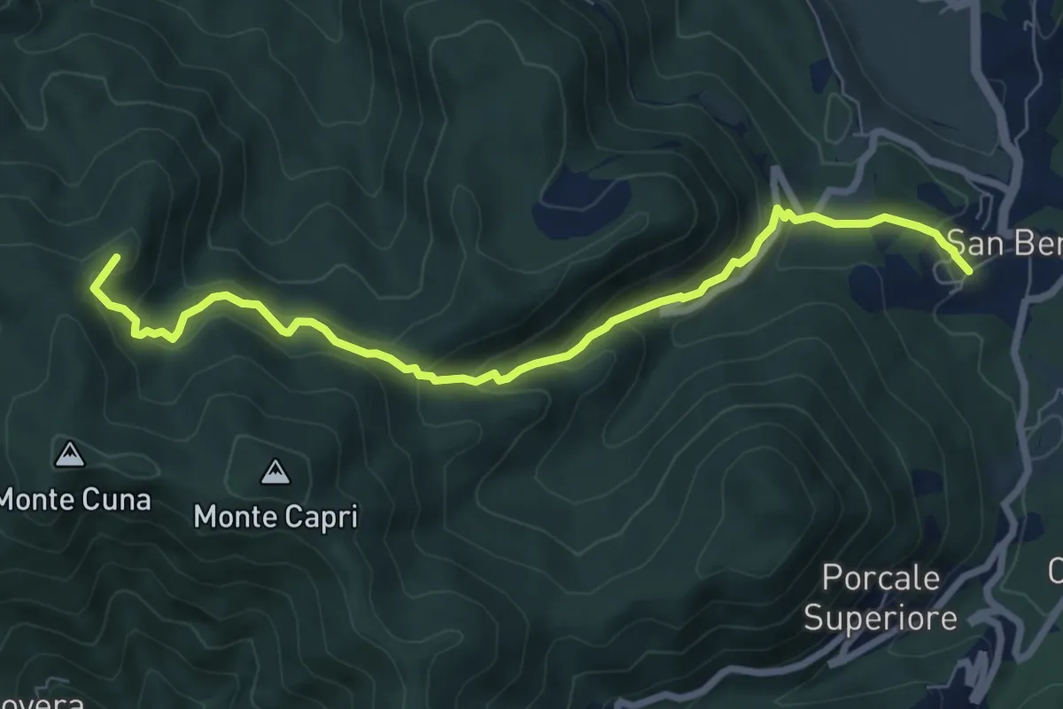
Demanding · Summit
San Benedetto – Aia del Cane
7.9 km · ↑ 506 m · 2 h 58 min · 5 km away
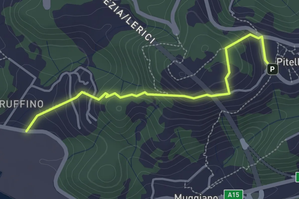
Easy · Trail
Ruffino – Pitelli
3.2 km · ↑ 224 m · 1 h 14 min · 5 km away
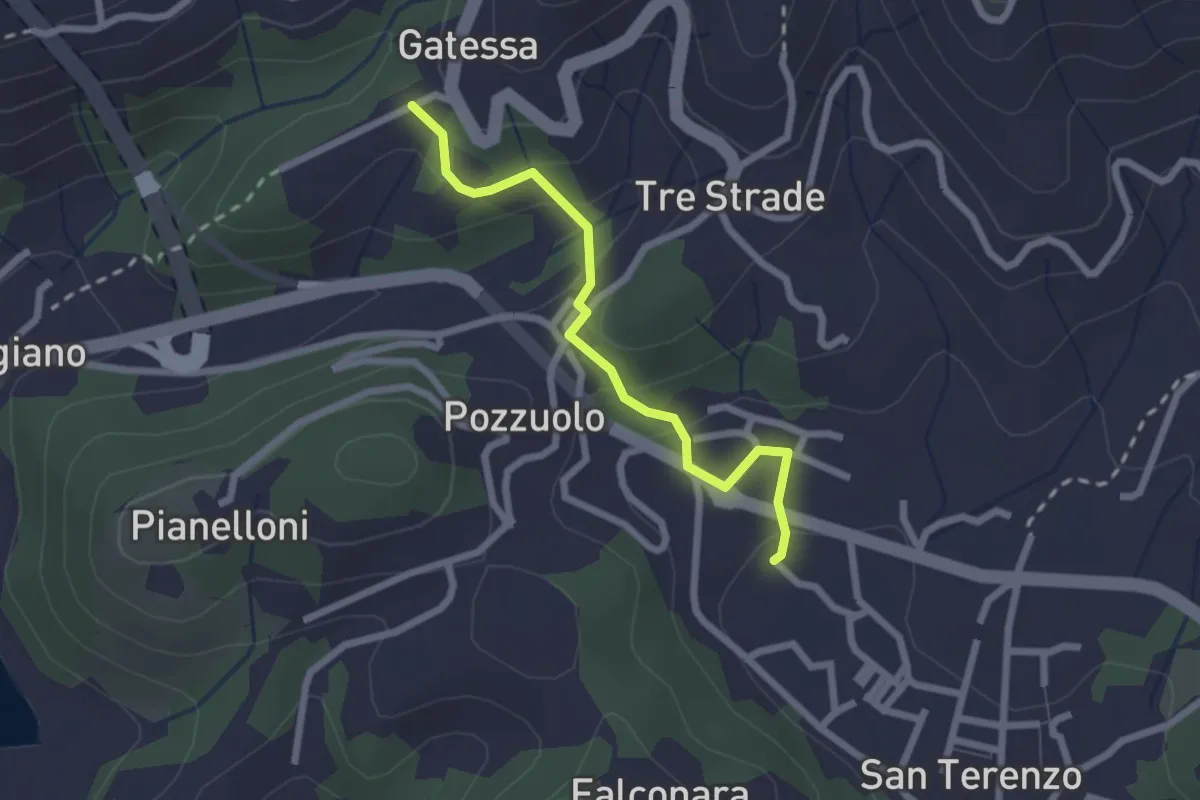
Easy · Trail
Bagnara – Pozzuolo - innesto sent. 451
2.3 km · ↑ 103 m · 46 min · 5 km away
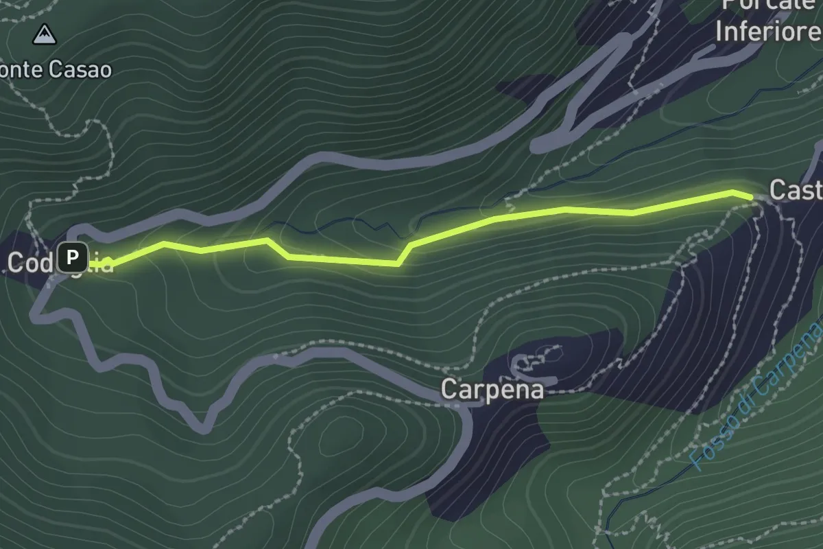
Easy · Trail
Castè – Codeglia
2.3 km · ↑ 104 m · 46 min · 5 km away