Trails near La Spezia
200 hikes starting within 15 km, nearest first.
Nearest first, page 4 of 5
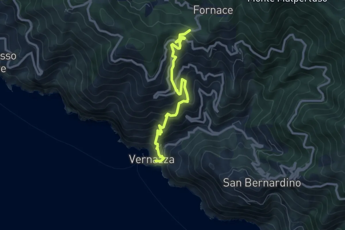
Medium · Trail
Vernazza – Mad. di Reggio – F.ce di Drignana
7.0 km · ↑ 650 m · 3 h 4 min · 12 km away
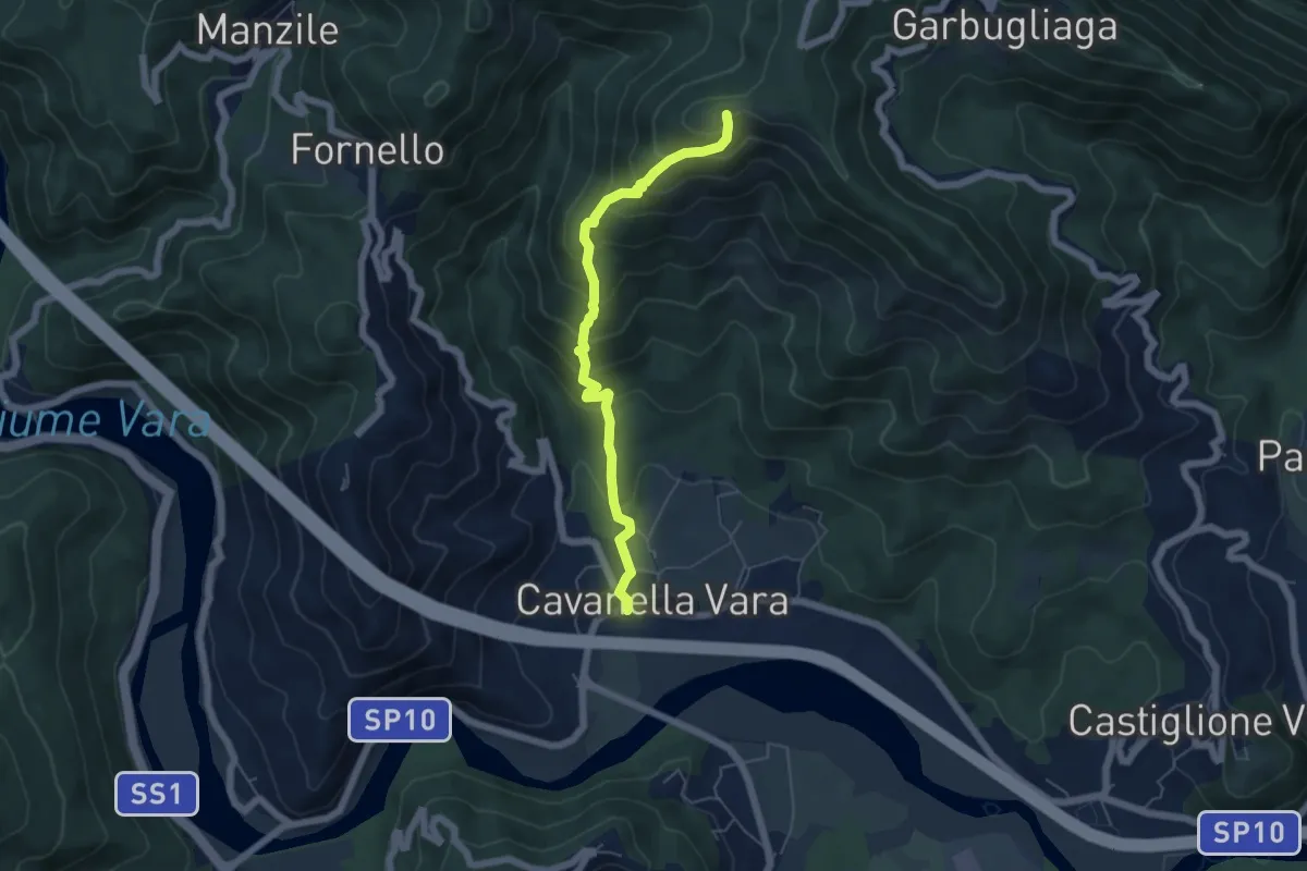
Medium · Summit
Cavanella – Bric Arvota – (Bivio 159)
5.5 km · ↑ 485 m · 2 h 21 min · 12 km away
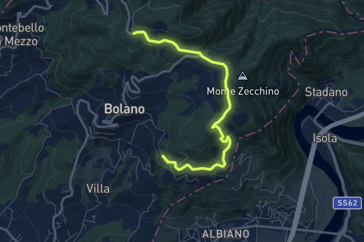
Easy · Trail
Bivio AVML - Tirolo - Case Solegnana - Case Cavanon - Bagatello
7.4 km · ↑ 297 m · 2 h 24 min · 12 km away
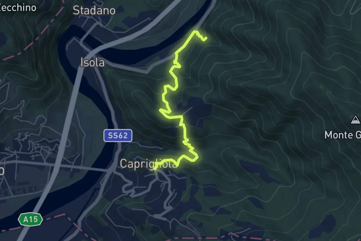
Demanding · Trail
S1 Caprigliola - Chiamici - Santuario Madonna del Ponte
6.1 km · ↑ 492 m · 2 h 30 min · 12 km away
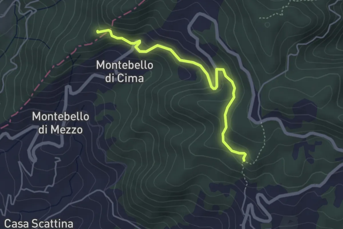
Easy · Trail
Carbonara - Bagatello – Montebello di Cima
4.2 km · ↑ 231 m · 1 h 29 min · 12 km away
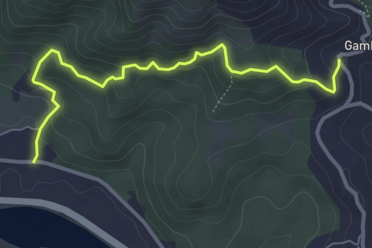
Easy · Trail
Cavanella – Gambella
5.6 km · ↑ 314 m · 2 h 1 min · 12 km away
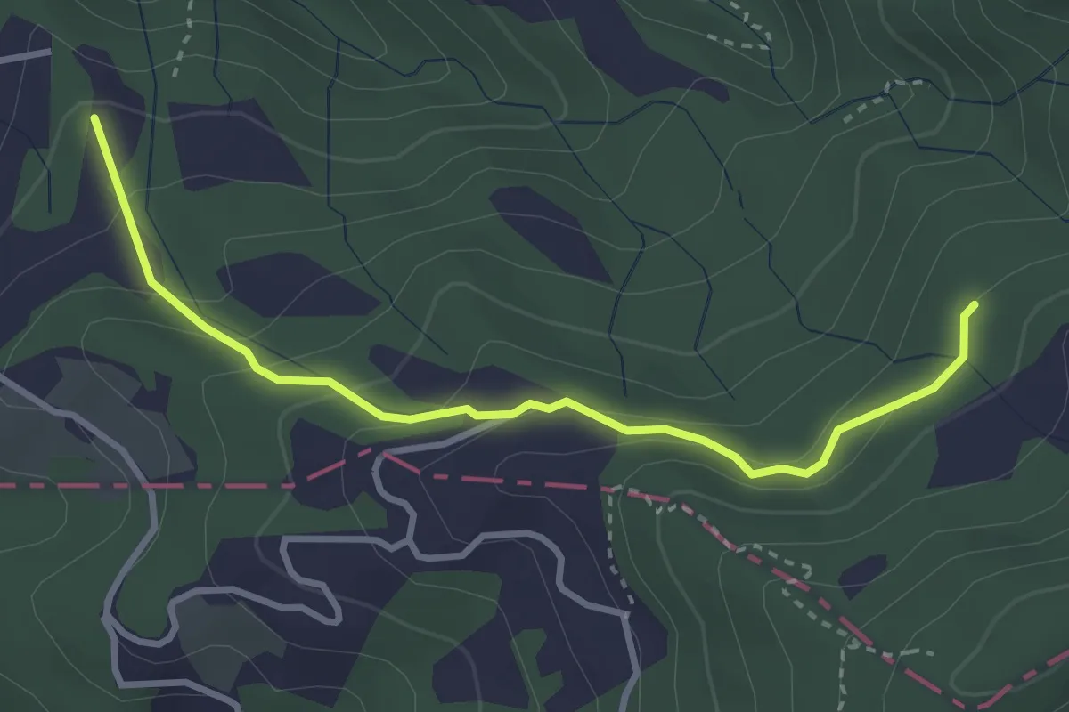
Easy · Trail
Caprigliola – Ar D 'ndre
3.4 km · ↑ 191 m · 1 h 13 min · 12 km away
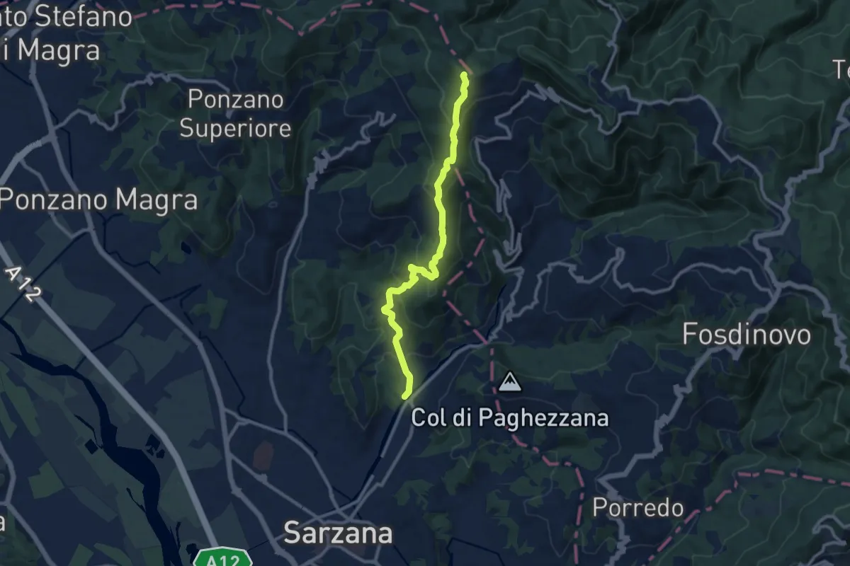
Medium · Trail
Ponte Budella – Percorso 290
9.7 km · ↑ 538 m · 3 h 28 min · 12 km away
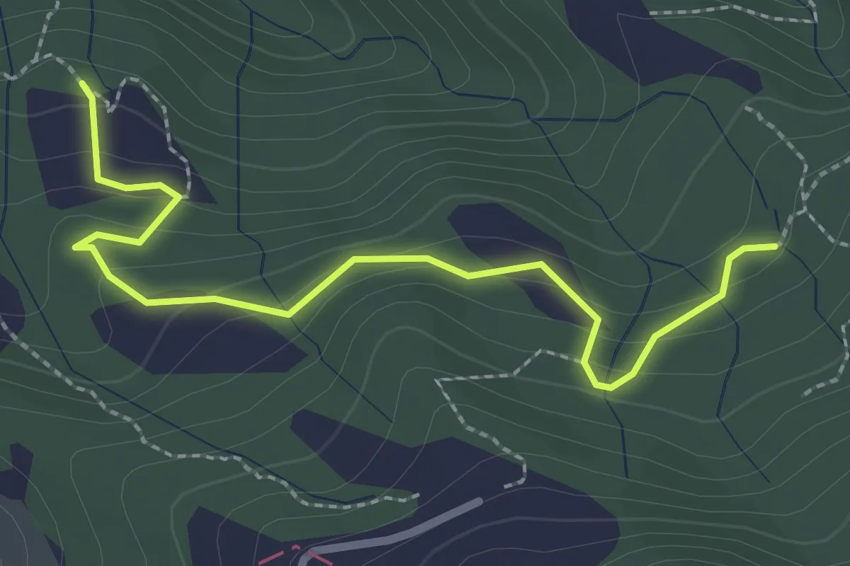
Easy · Trail
La Bastia – Castagni Grossi (bivio 231)
2.8 km · ↑ 159 m · 1 h · 12 km away
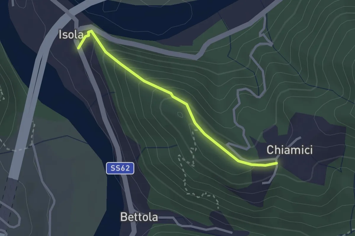
Easy · Trail
S6 Chiamici - Isola
2.4 km · ↑ 172 m · 57 min · 12 km away
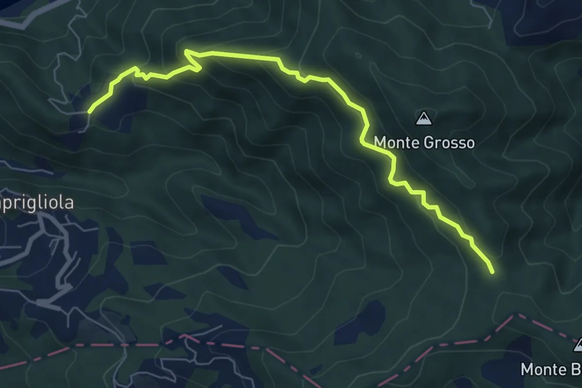
Medium · Trail
S3 Sentiero della Tira: Chiamici - Quattro strade
6.8 km · ↑ 538 m · 2 h 46 min · 13 km away
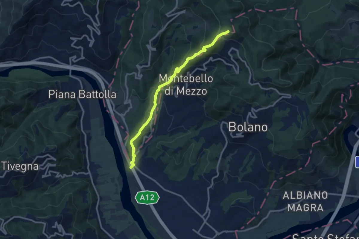
Medium · Trail
Ospedaletto – Monte Grosso
8.3 km · ↑ 516 m · 3 h 5 min · 13 km away
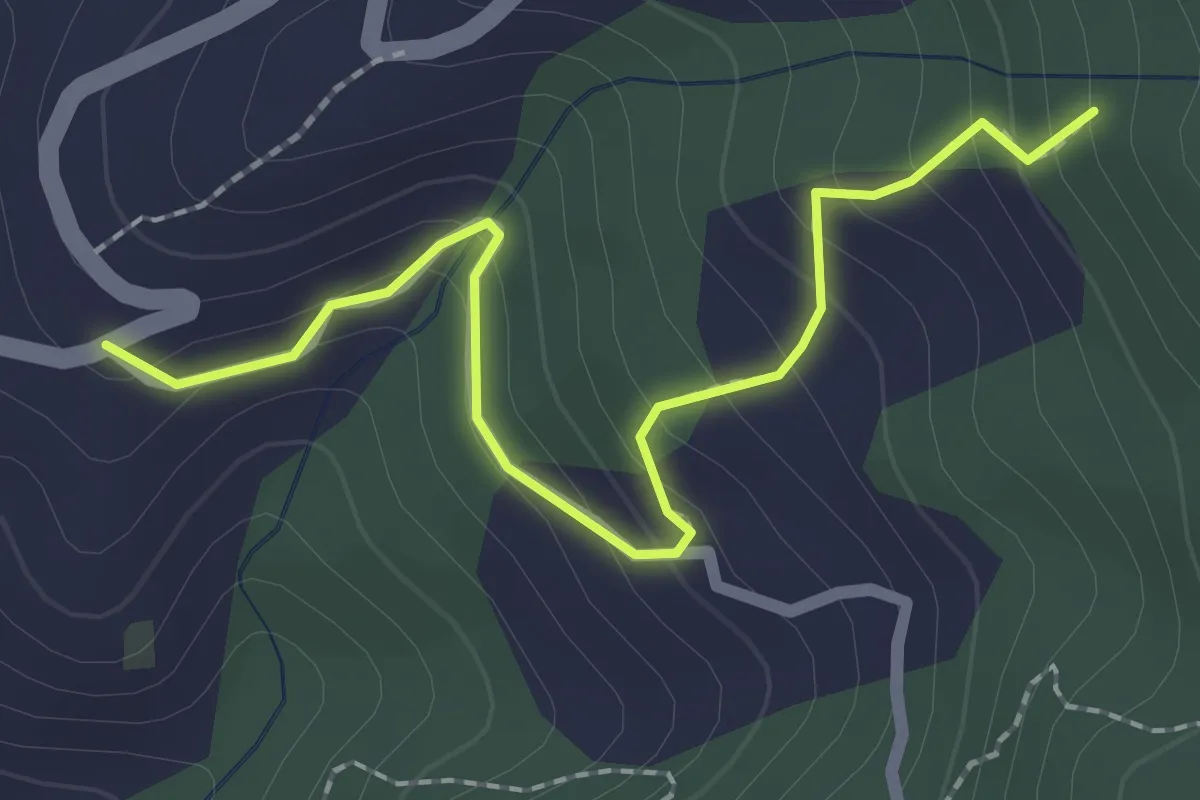
Easy · Trail
Località Falcinello (Percorso 322) – Percorso 327
2.4 km · ↑ 195 m · 1 h · 13 km away
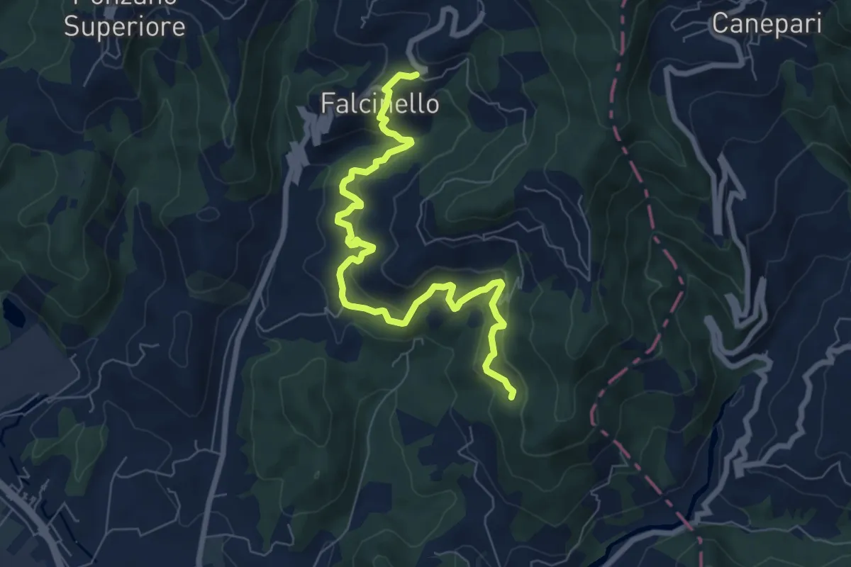
Medium · Trail
Falcinello – Percorso 325
8.0 km · ↑ 492 m · 2 h 57 min · 13 km away
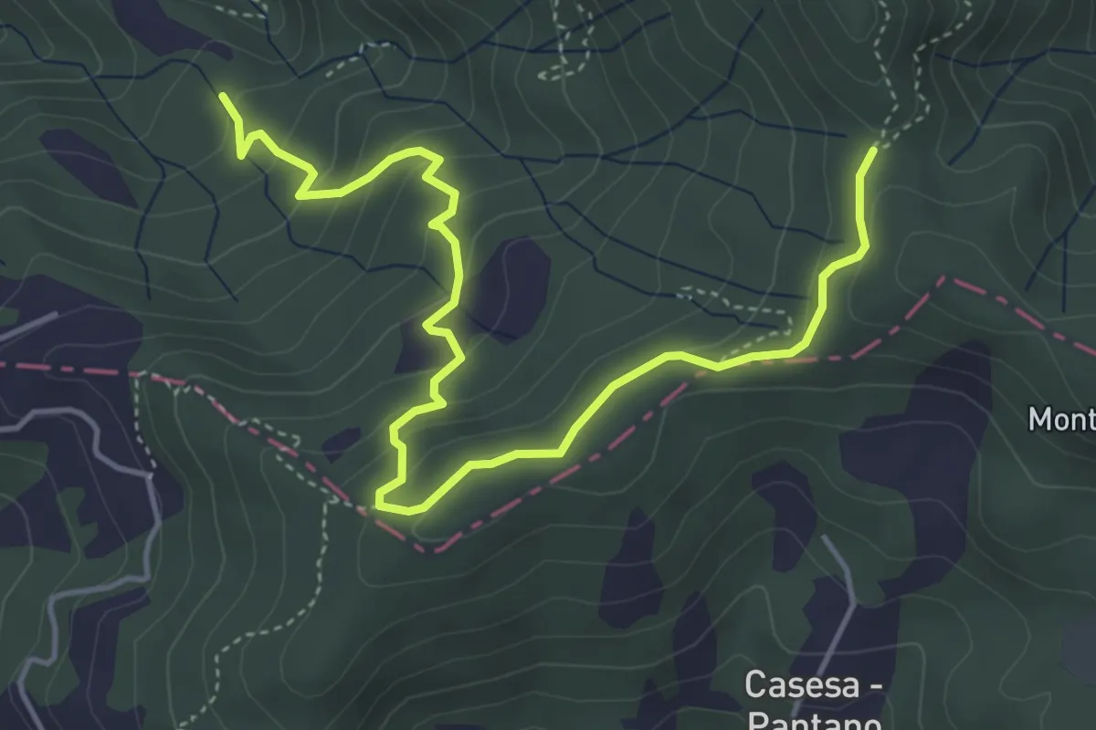
Easy · Trail
S2 Sentiero Valle dei Mulini- Quattro Strade
5.6 km · ↑ 305 m · 1 h 59 min · 13 km away
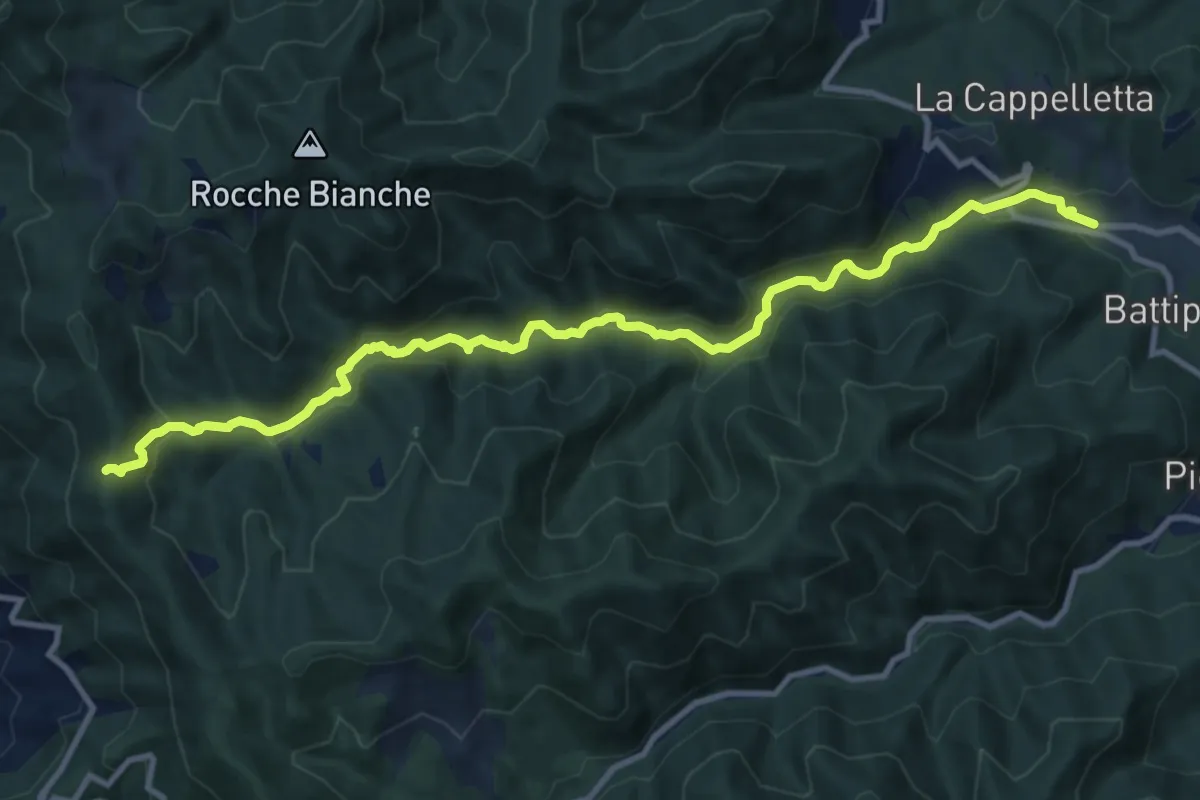
Medium · Trail
Casale – Foce di San Antonio
12.5 km · ↑ 455 m · 3 h 56 min · 13 km away
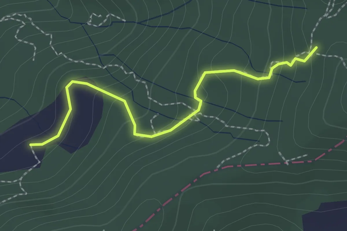
Easy · Trail
S2/bis Sentiero La bronzina - Quattro strade
2.2 km · ↑ 131 m · 49 min · 13 km away
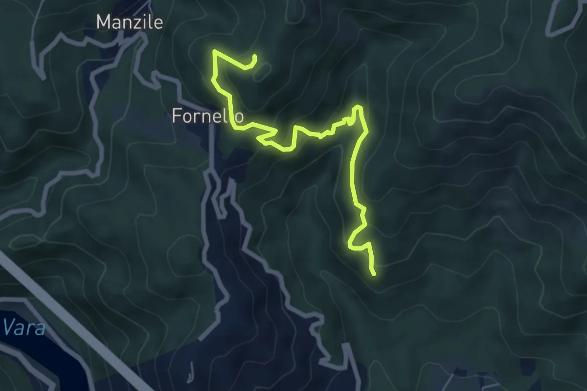
Medium · Trail
Cavanella – Case Bodri – (Bivio 152)
5.9 km · ↑ 564 m · 2 h 36 min · 13 km away
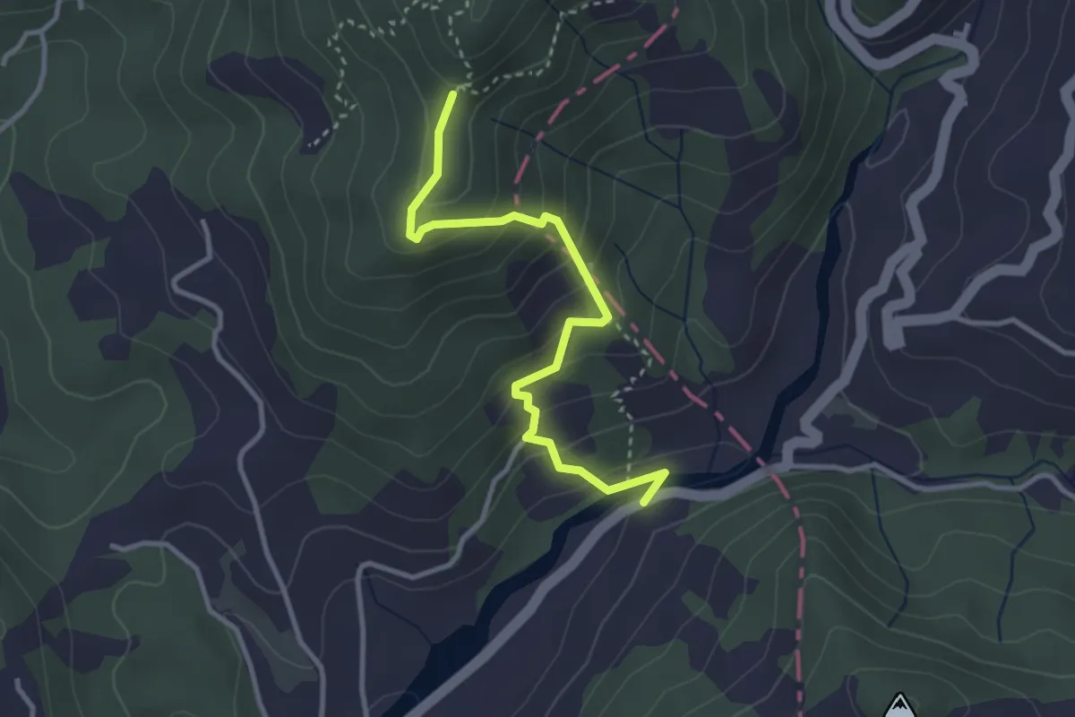
Easy · Trail
Via dei Molini – Percorso 325 - Prulla
3.3 km · ↑ 276 m · 1 h 23 min · 13 km away
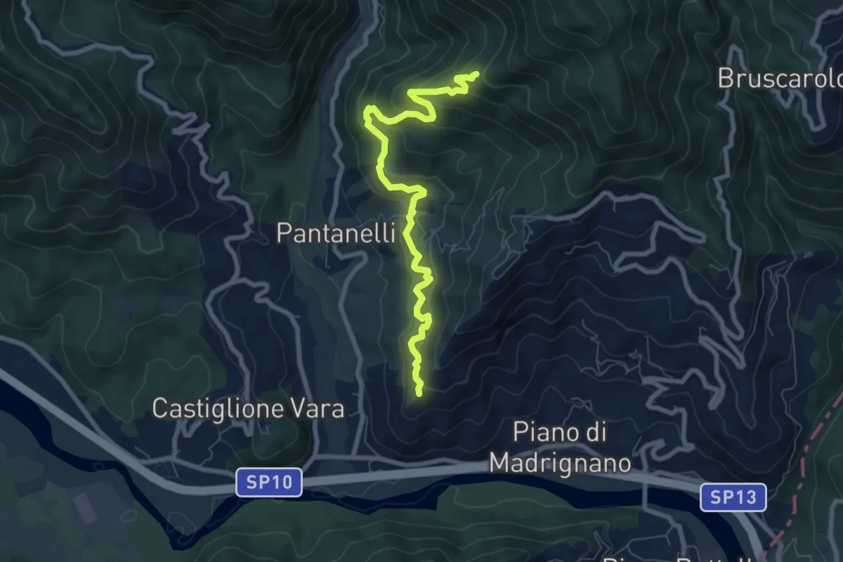
Medium · Trail
La Pianaccia - Case Carpenedo - Usurana - Novegina di Cima
7.6 km · ↑ 503 m · 2 h 53 min · 13 km away
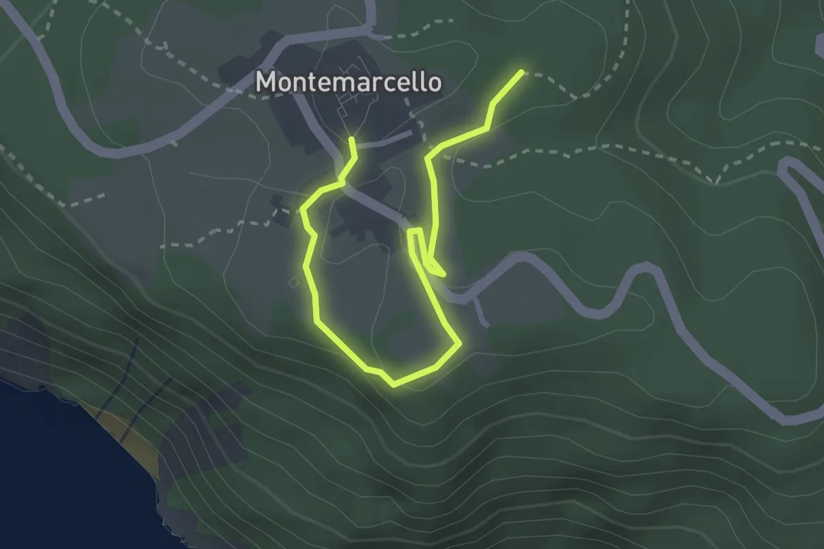
Easy · Trail
Bivio 436 - M. Marana
3.2 km · ↑ 50 m · 51 min · 13 km away
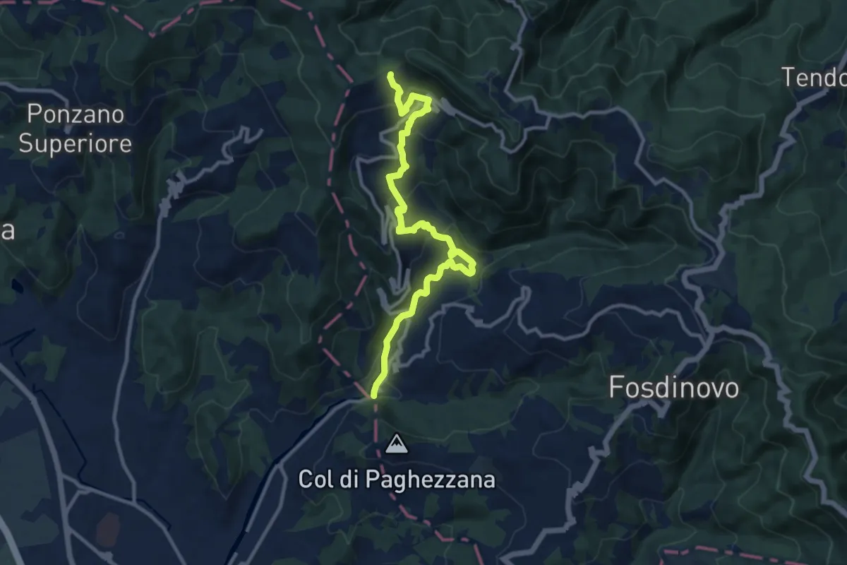
Demanding · Trail
Ponte Fabiano – Percorso 290
11.4 km · ↑ 536 m · 3 h 51 min · 13 km away
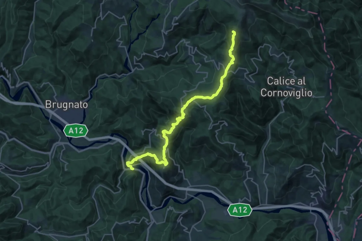
Demanding · Summit
Ponte Ramello – Quattro Strade – Beverone – Casoni
22.0 km · ↑ 1173 m · 7 h 44 min · 13 km away
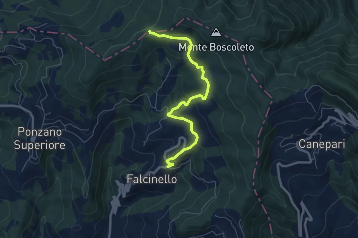
Easy · Trail
Falcinello – Via Francigena
6.0 km · ↑ 258 m · 1 h 59 min · 13 km away
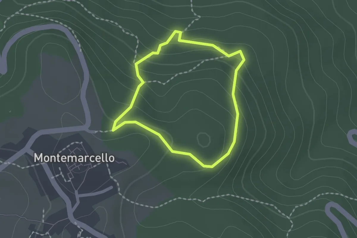
Easy · Trail
Montemarcello – giro del M. Marana
1.5 km · ↑ 81 m · 33 min · 13 km away
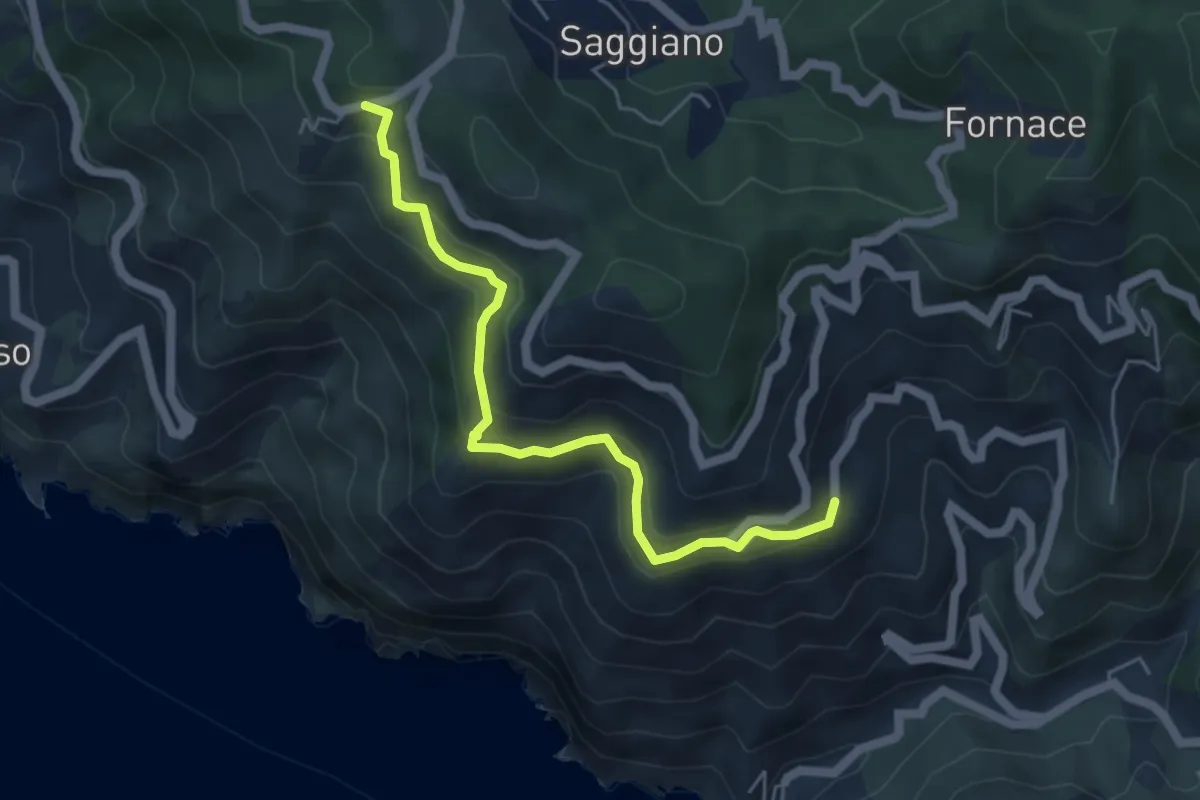
Medium · Trail
Mad.di Reggio – Il Termine
5.1 km · ↑ 315 m · 1 h 54 min · 13 km away
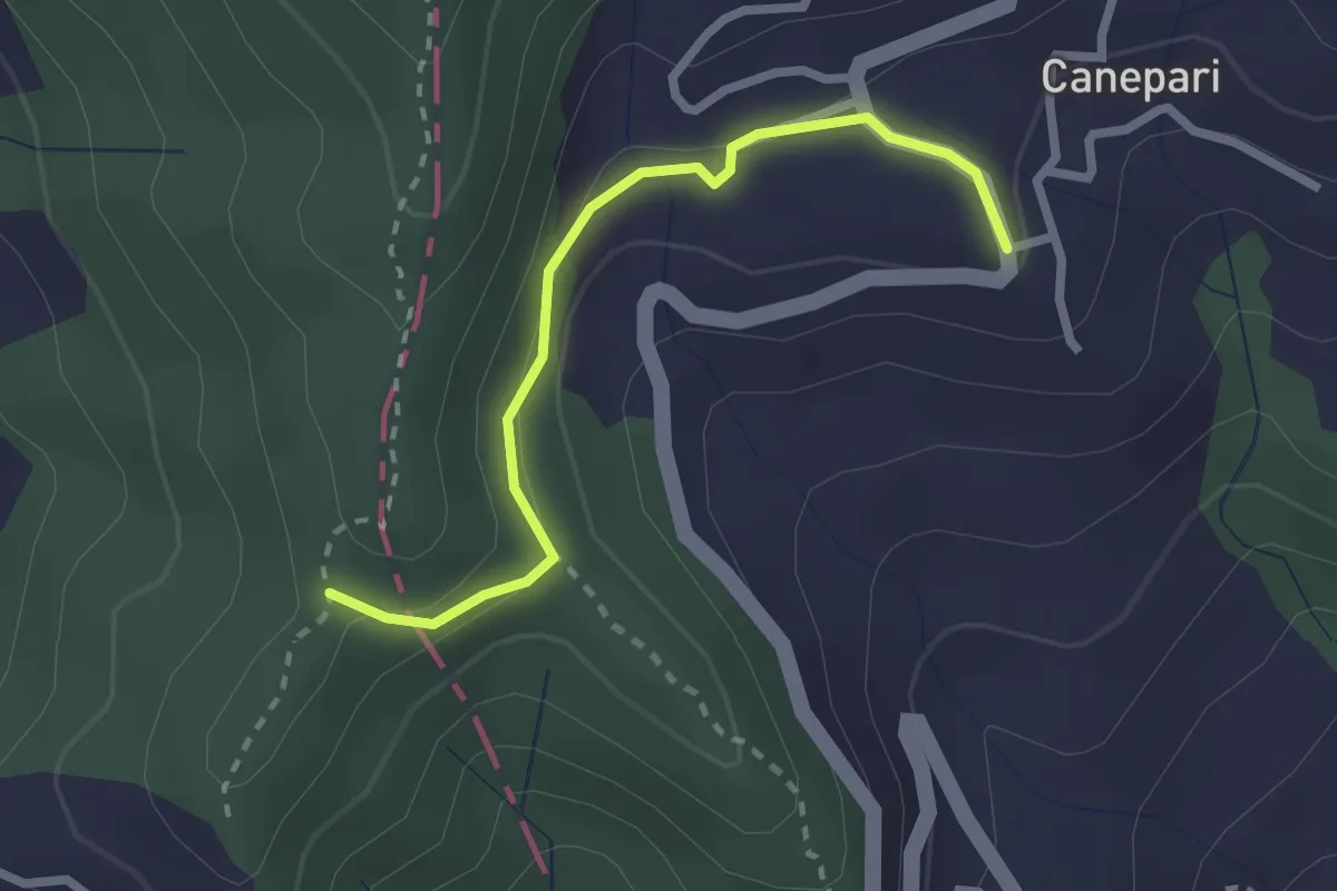
Easy · Trail
Canepari (Percorso 288) – Percorso 325
2.5 km · ↑ 90 m · 47 min · 13 km away
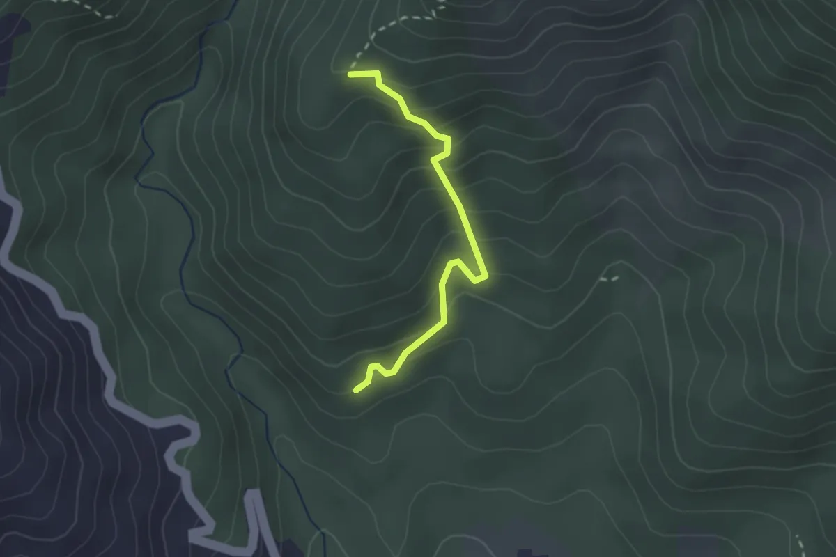
Easy · Trail
Cavanella – Case Bodri – (Variante 156)
2.2 km · ↑ 259 m · 1 h 5 min · 13 km away
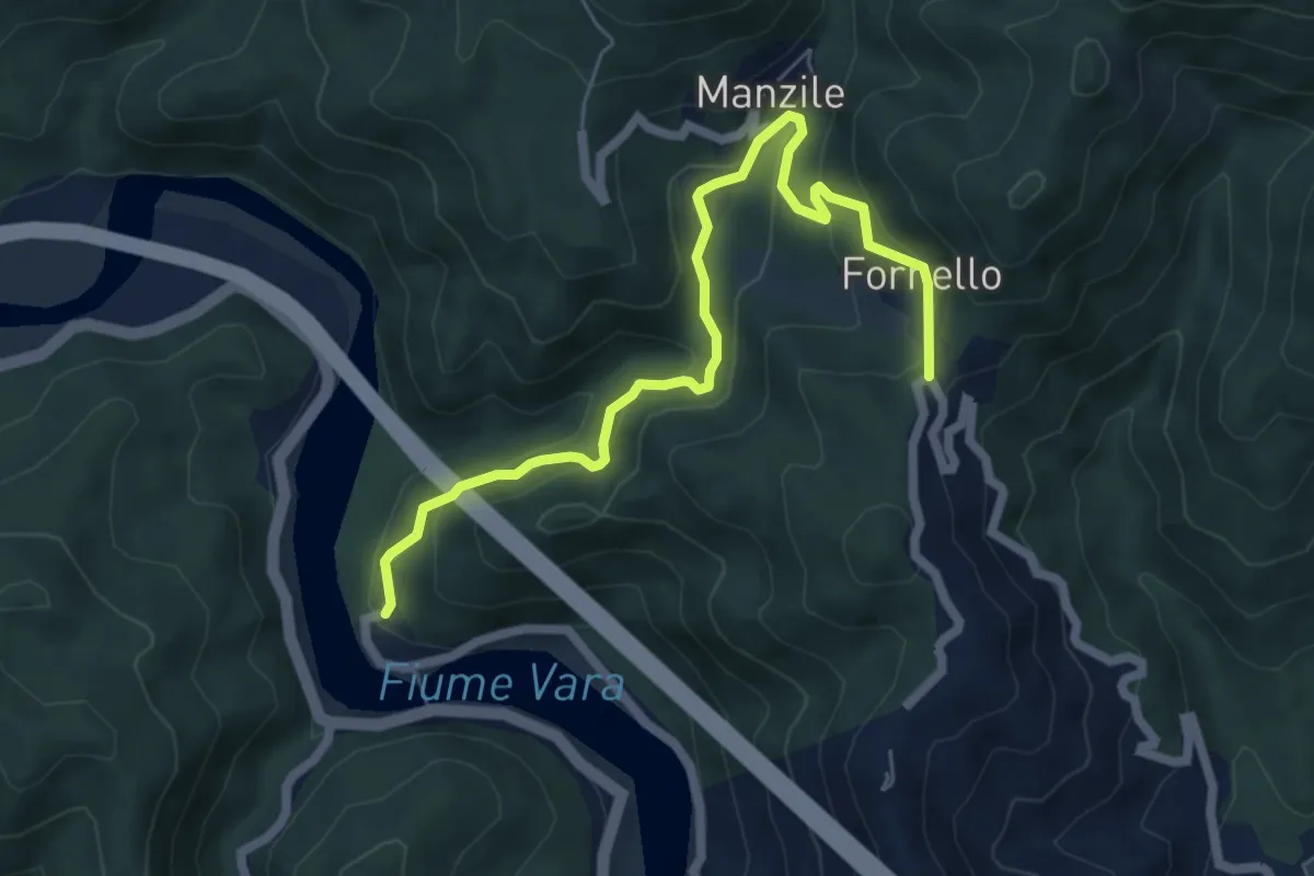
Medium · Trail
Ramello - Quattro Strade
6.8 km · ↑ 365 m · 2 h 24 min · 14 km away
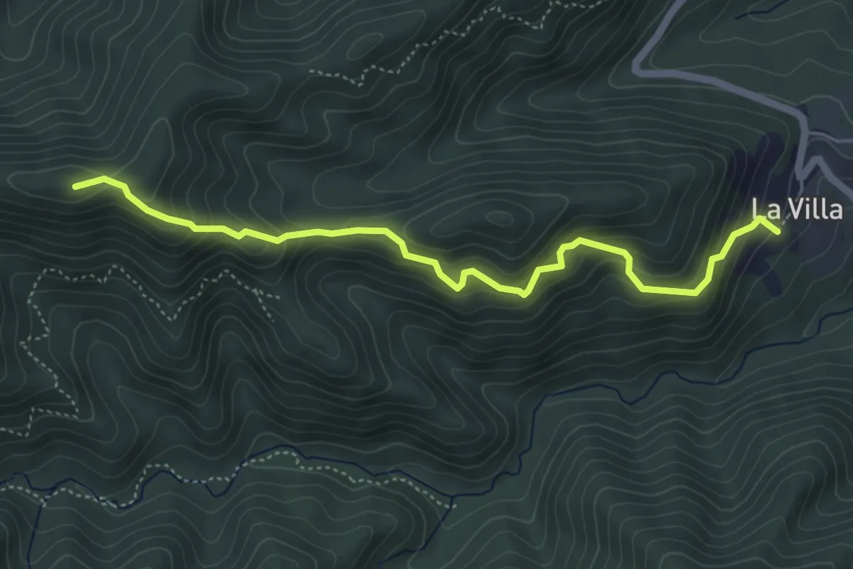
Medium · Summit
Villa di Casale – Sella Marveia
5.2 km · ↑ 497 m · 2 h 19 min · 14 km away
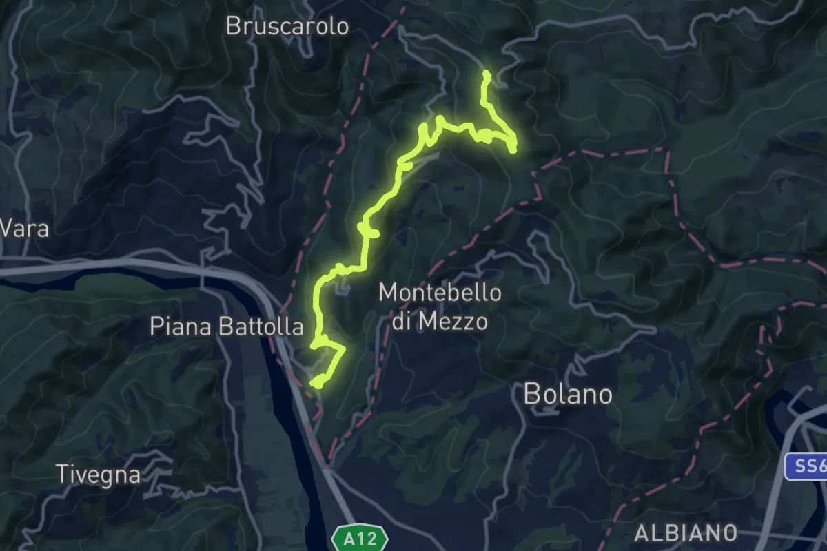
Medium · Trail
Via Marchesana (Variante Montedivalli)
15.0 km · ↑ 626 m · 4 h 53 min · 14 km away
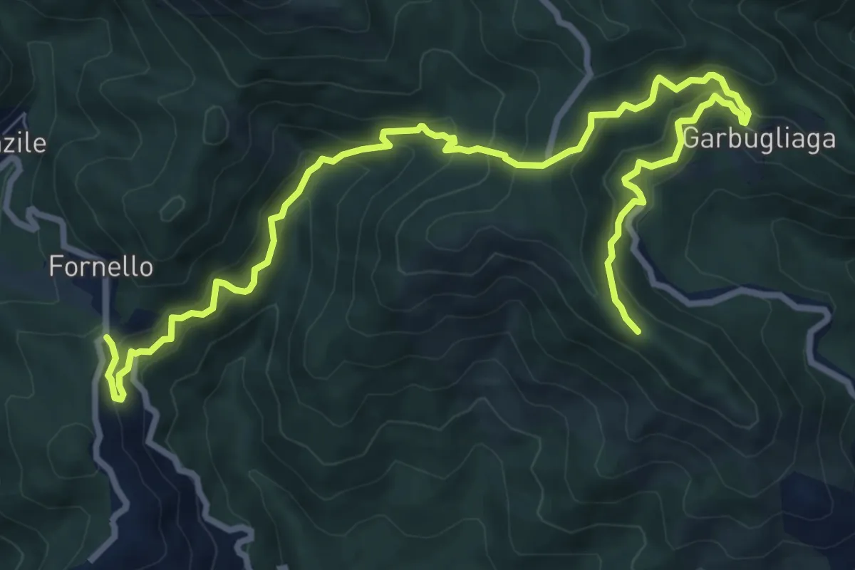
Demanding · Trail
Quattro Strade – Garbugliaga - Monte Gruzzo
11.4 km · ↑ 809 m · 4 h 26 min · 14 km away
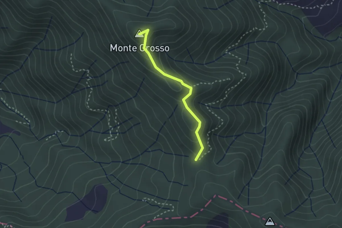
Easy · Summit
S5: Quattro Strade - Monte Grosso - La Tira
2.3 km · ↑ 113 m · 48 min · 14 km away
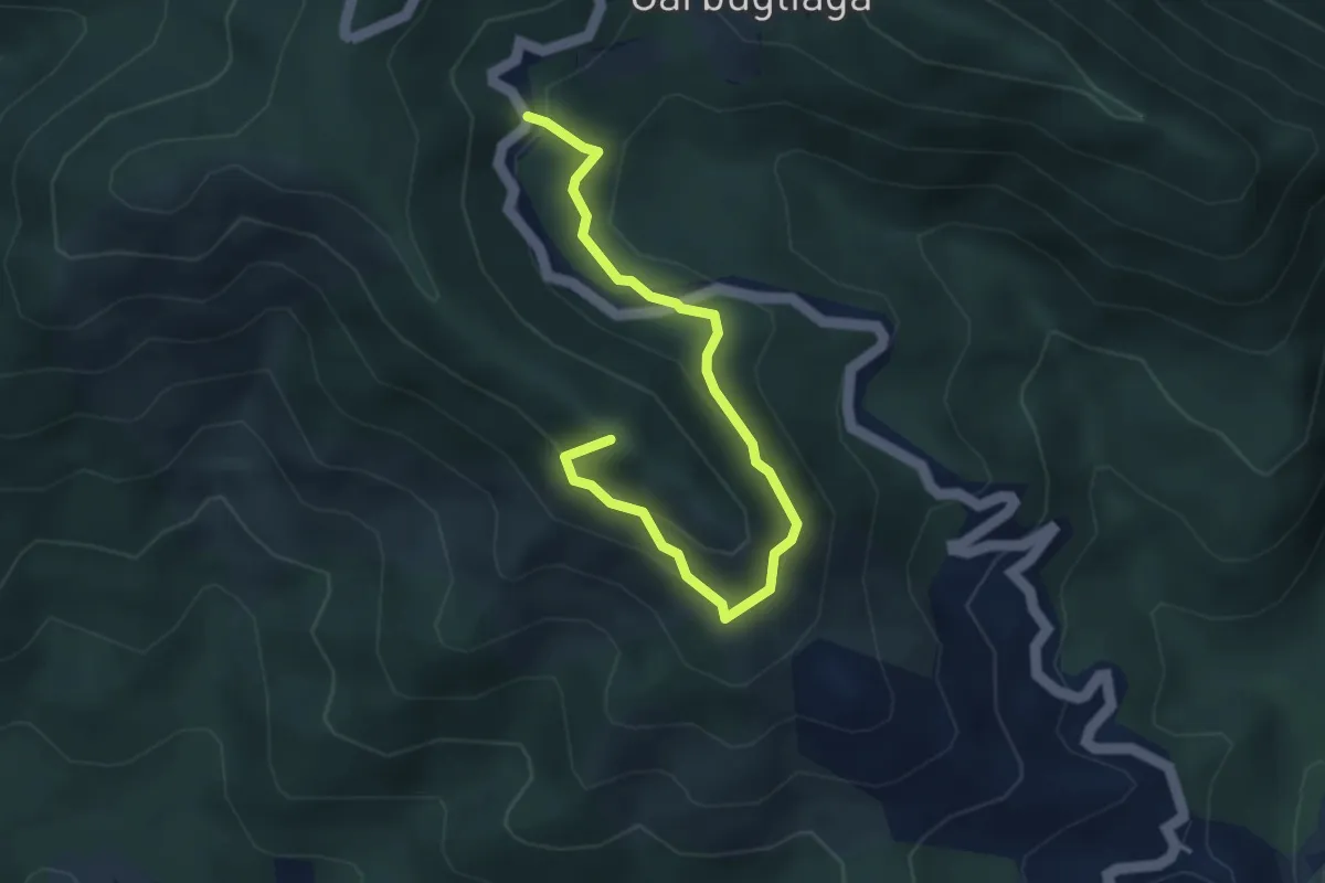
Easy · Summit
Anello Monte Gruzzo
4.1 km · ↑ 250 m · 1 h 31 min · 14 km away
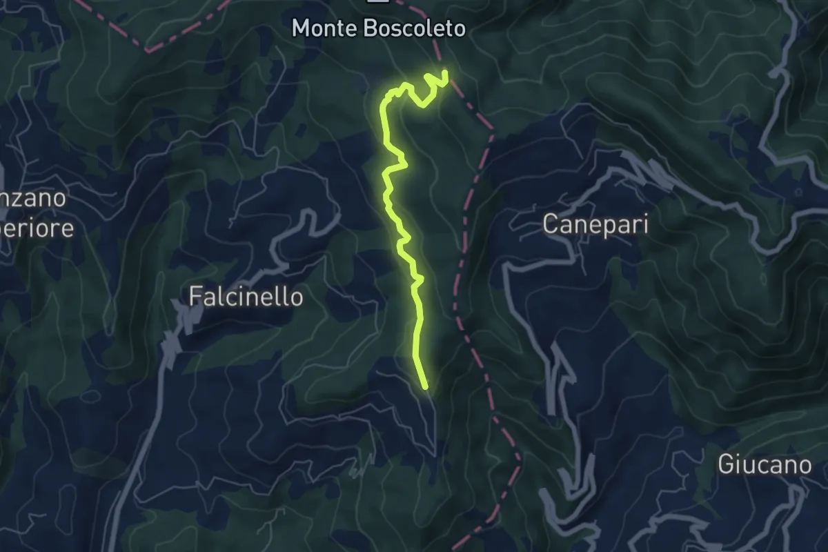
Easy · Trail
Percorso 325 – Percorso 290
5.3 km · ↑ 240 m · 1 h 47 min · 14 km away
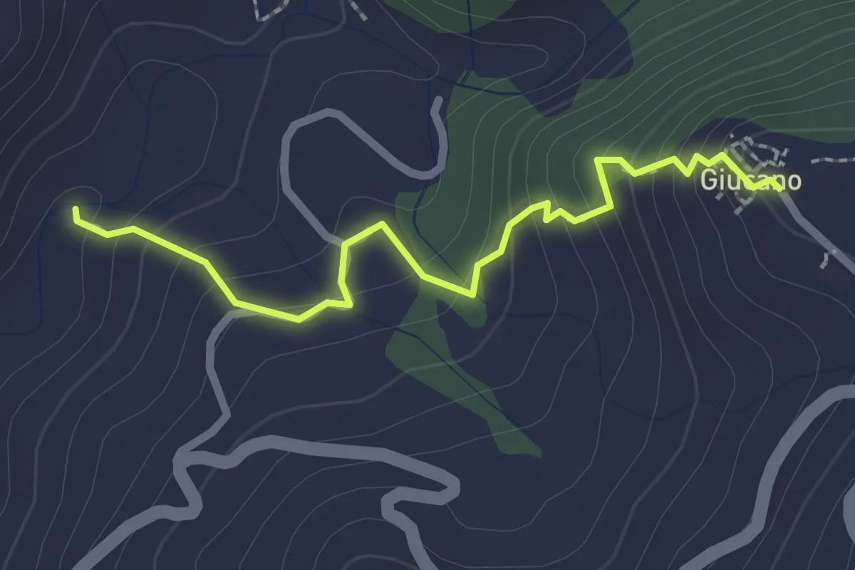
Easy · Trail
Percorso 288 – Giucano
2.4 km · ↑ 191 m · 58 min · 14 km away
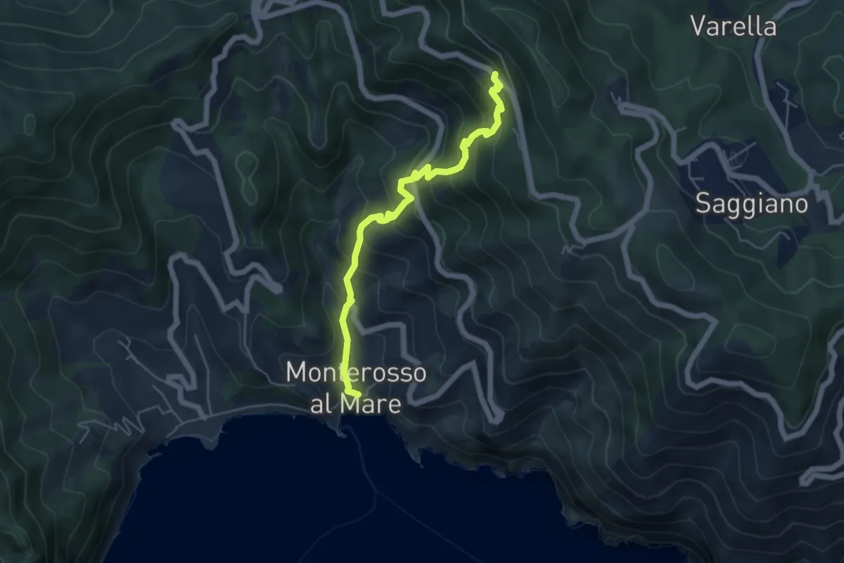
Medium · Trail
Monterosso – Mad. di Soviore
5.1 km · ↑ 528 m · 2 h 21 min · 14 km away
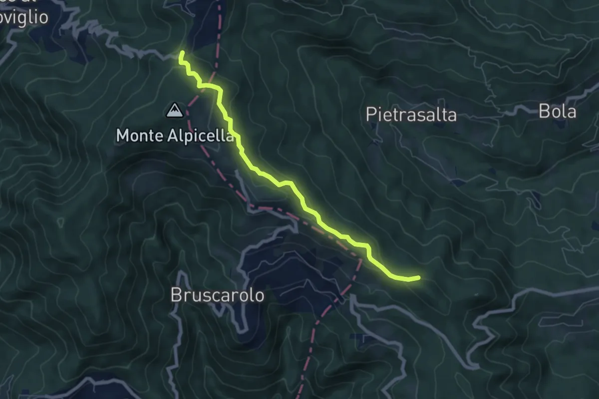
Easy · Trail
Passo Alpicella - Valico dei Solini
6.5 km · ↑ 254 m · 2 h 5 min · 14 km away
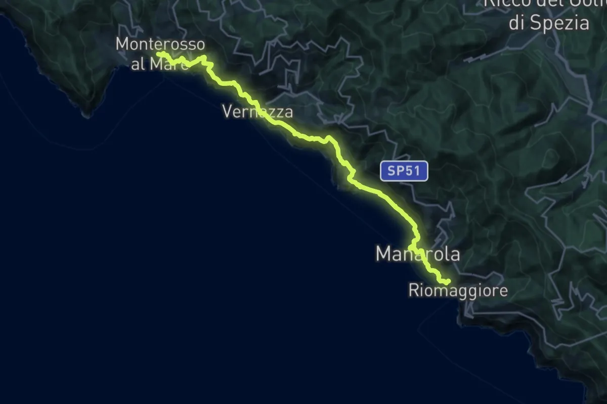
Demanding · Trail
Sentiero Verde Azzurro: Riomaggiore - Monterosso
10.9 km · ↑ 903 m · 4 h 41 min · 14 km away
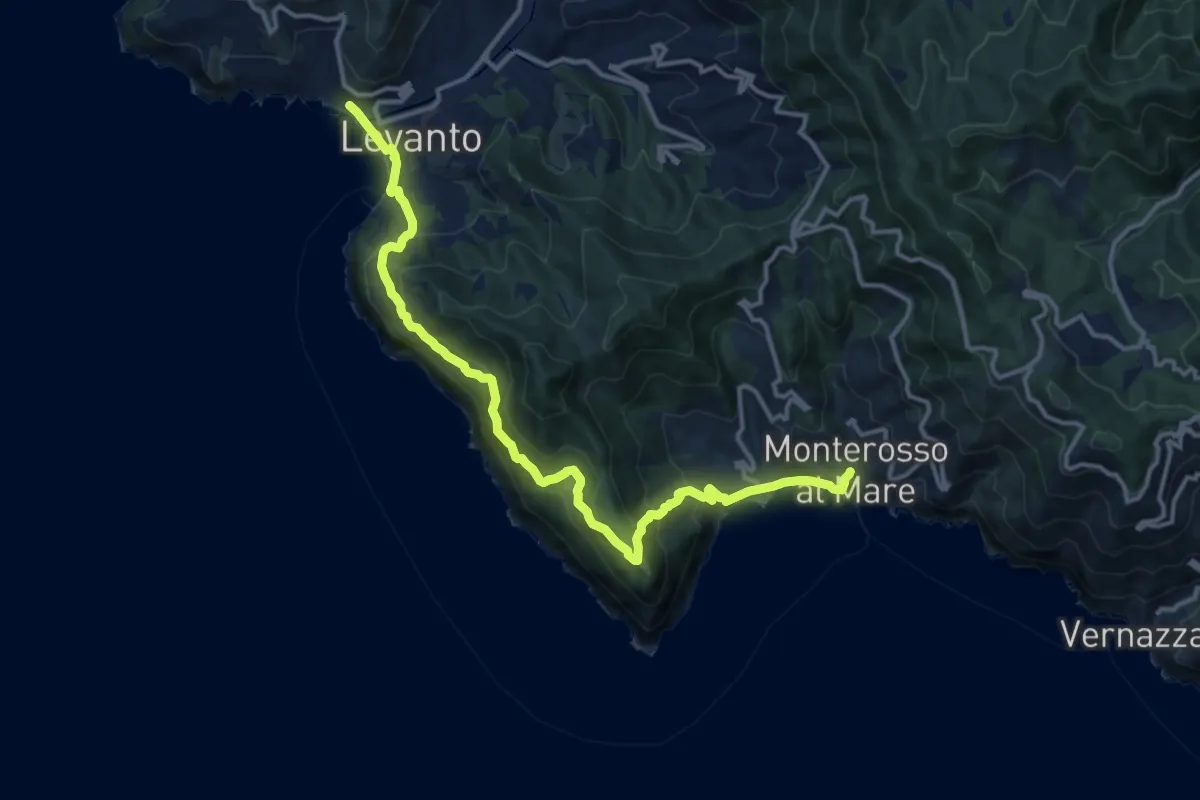
Demanding · Trail
Sentiero Verde Azzurro: Monterosso (Fegina) - Levanto
15.4 km · ↑ 951 m · 5 h 41 min · 14 km away
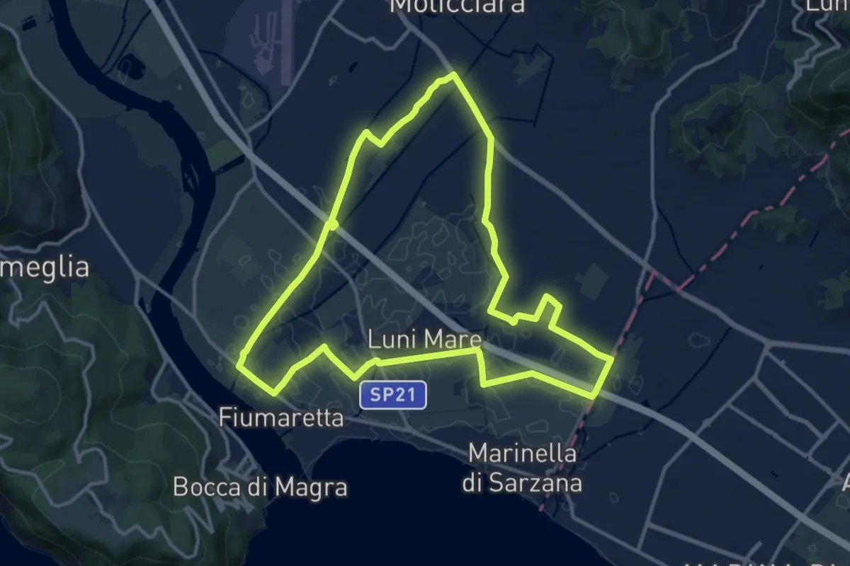
Medium · Trail
Sentiero Liguria - Tappa 0
12.9 km · ↑ 9 m · 3 h 15 min · 14 km away
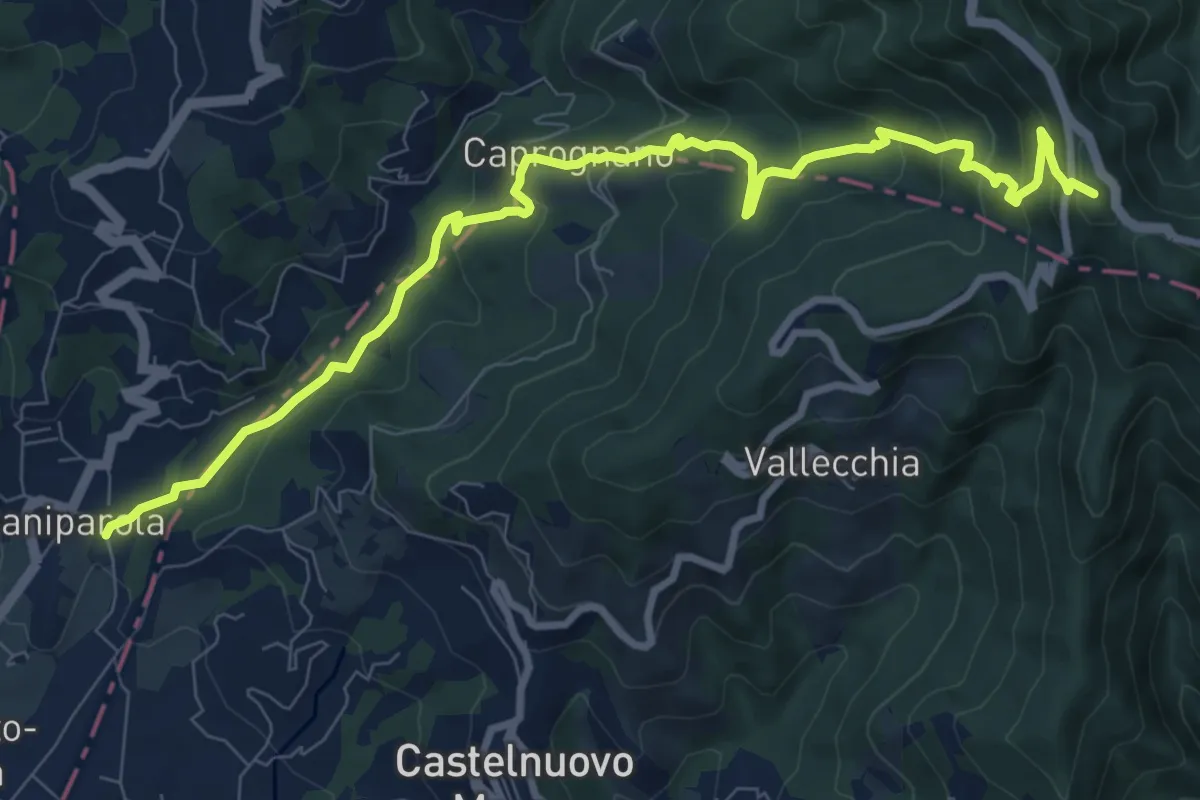
Medium · Summit
Caniparola – Strada Provinciale 51 - SP73
11.0 km · ↑ 629 m · 3 h 57 min · 14 km away
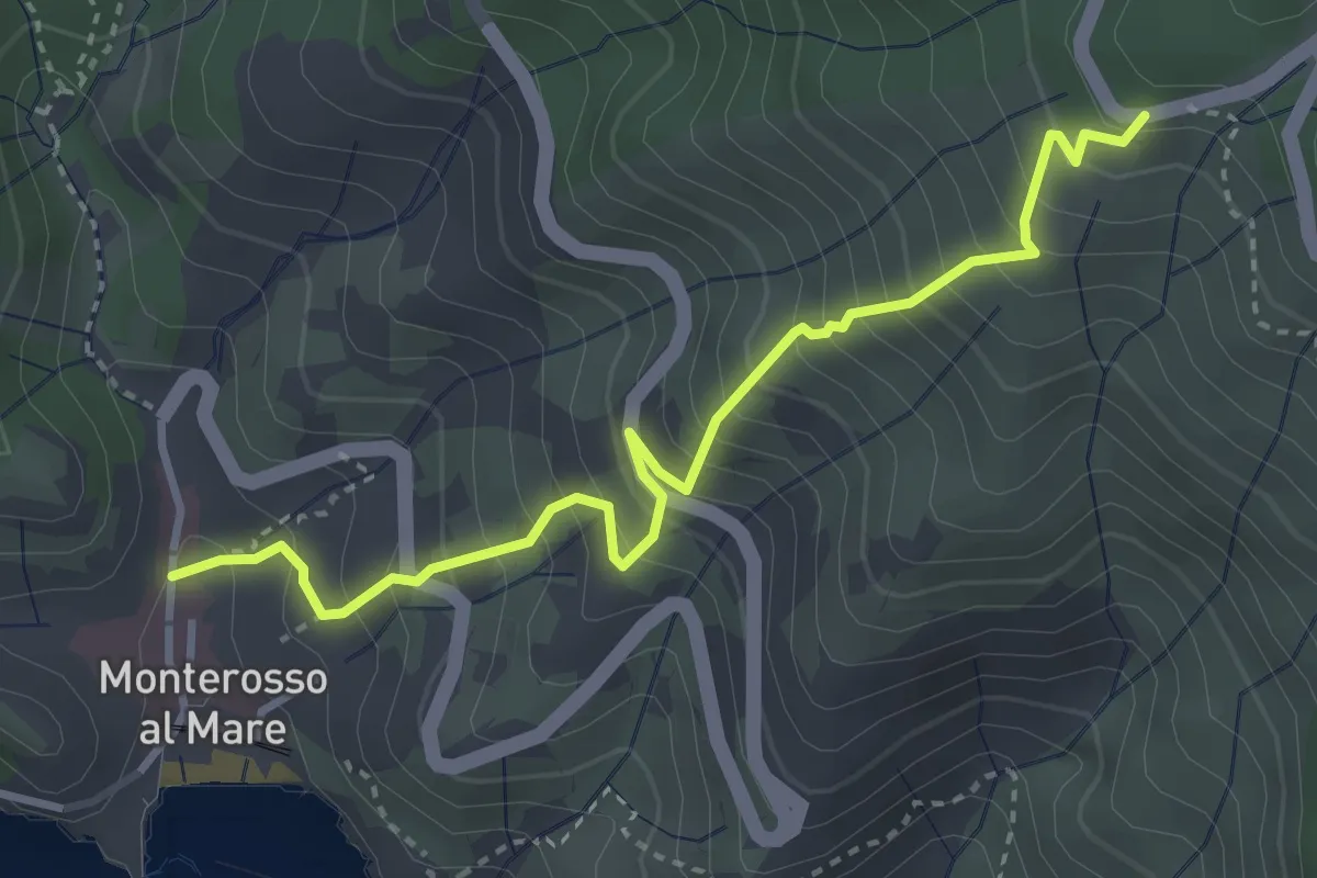
Medium · Trail
Monterosso - Begasti - Termine
3.8 km · ↑ 528 m · 2 h 3 min · 14 km away
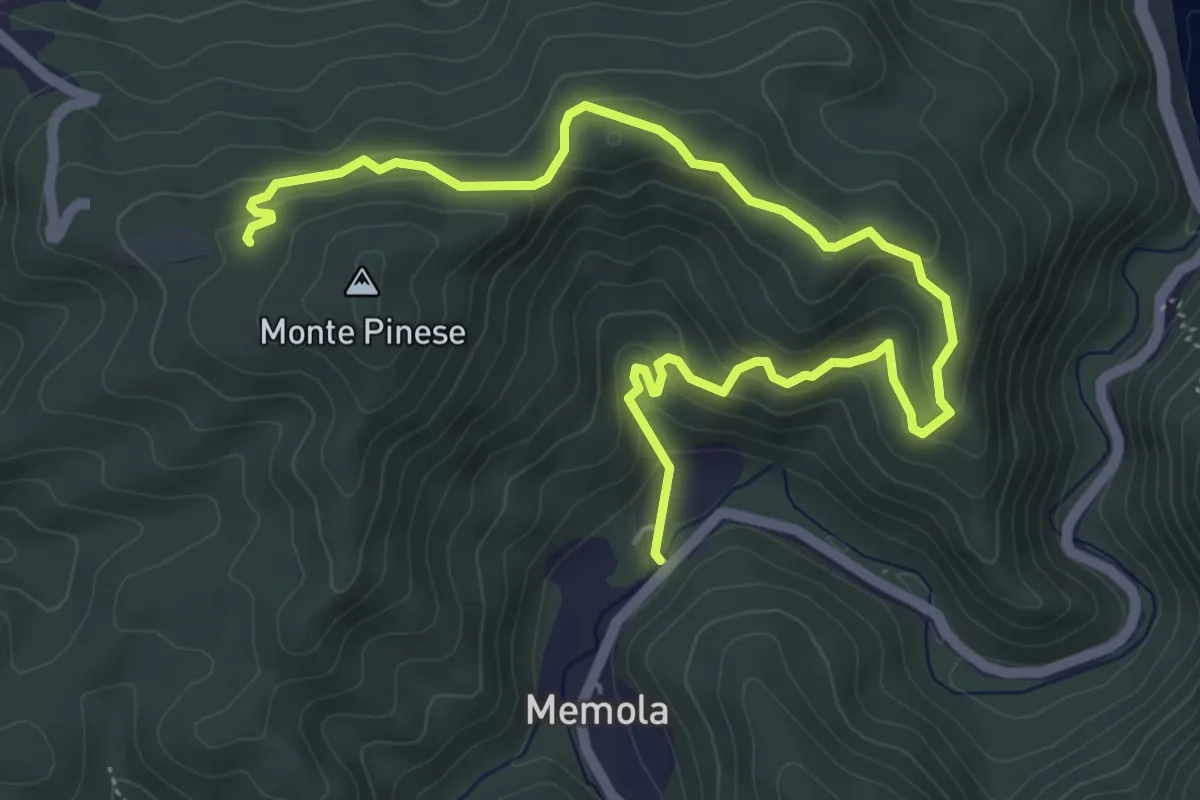
Easy · Trail
Ripalta – Pranovo
7.3 km · ↑ 292 m · 2 h 21 min · 14 km away
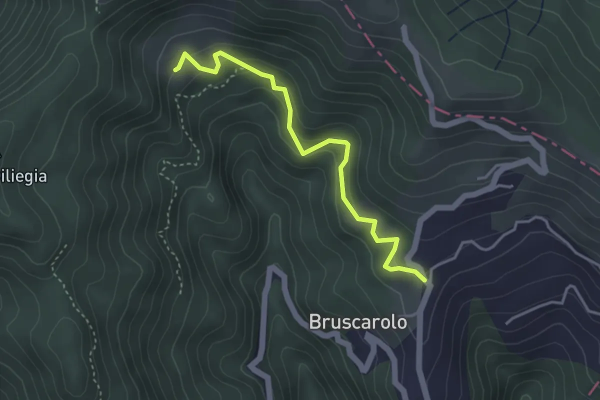
Easy · Trail
Bruscarolo - Case Carzachi
3.5 km · ↑ 244 m · 1 h 22 min · 14 km away
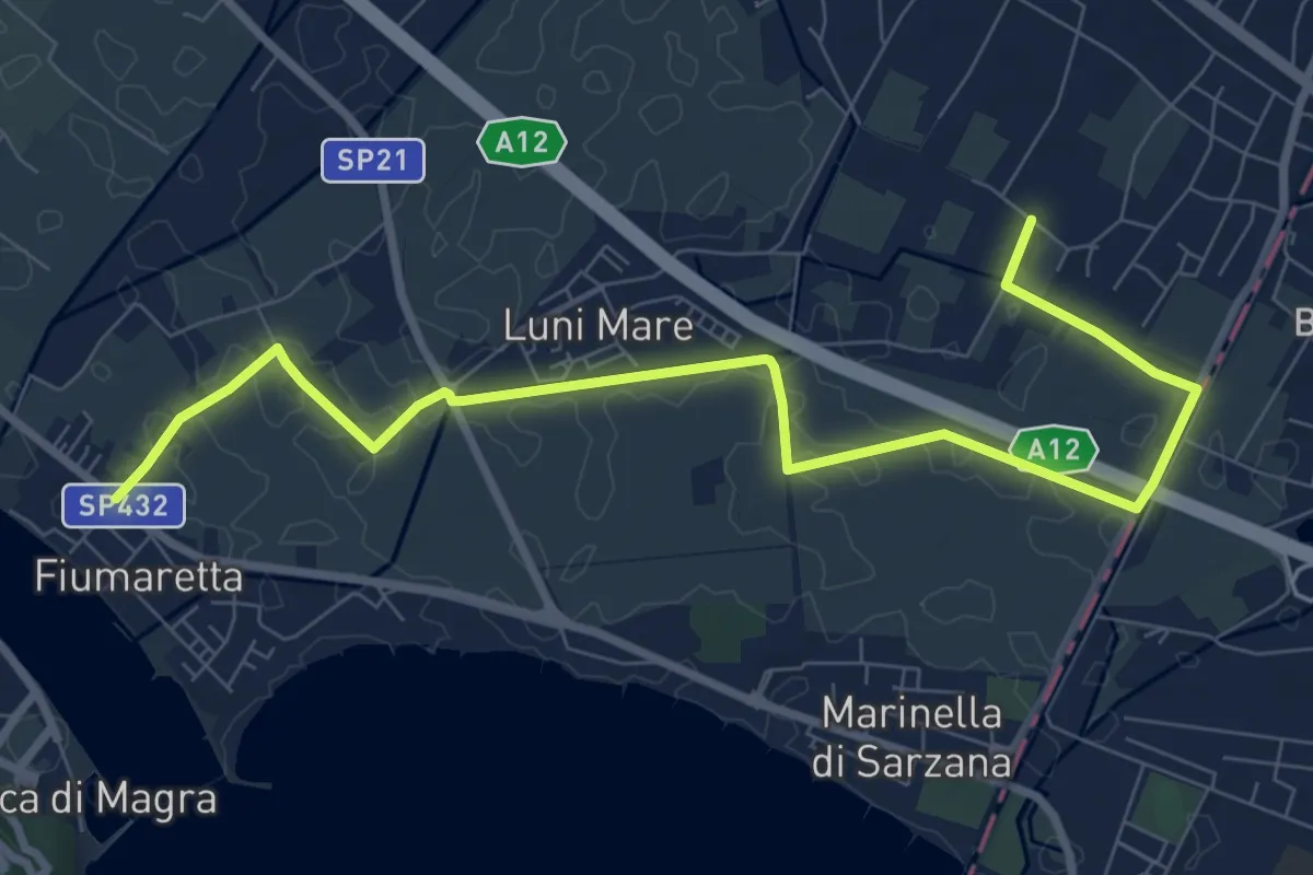
Medium · Trail
Fiumaretta – Anfiteatro Di Luni
10.2 km · ↑ 0 m · 2 h 25 min · 14 km away
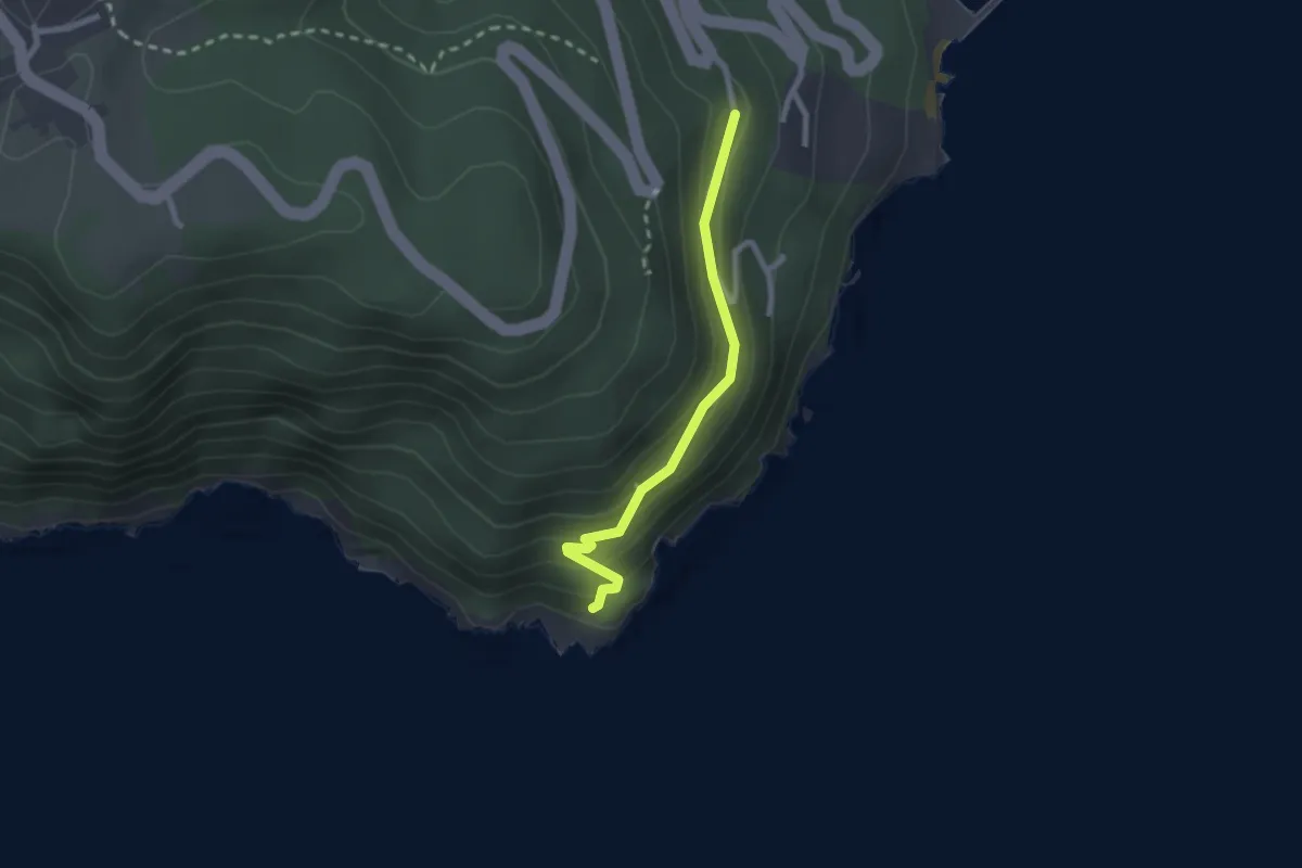
Easy · Trail
Punta Bianca – Carmelitane scalze
2.2 km · ↑ 170 m · 53 min · 14 km away
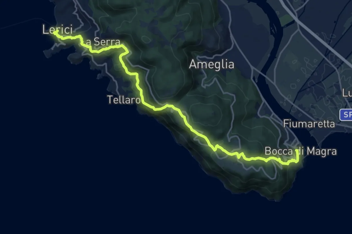
Demanding · Trail
Bocca di Magra – Lerici
18.9 km · ↑ 924 m · 6 h 28 min · 14 km away