Trails near Lagonegro
26 hikes starting within 15 km, nearest first.
Nearest first
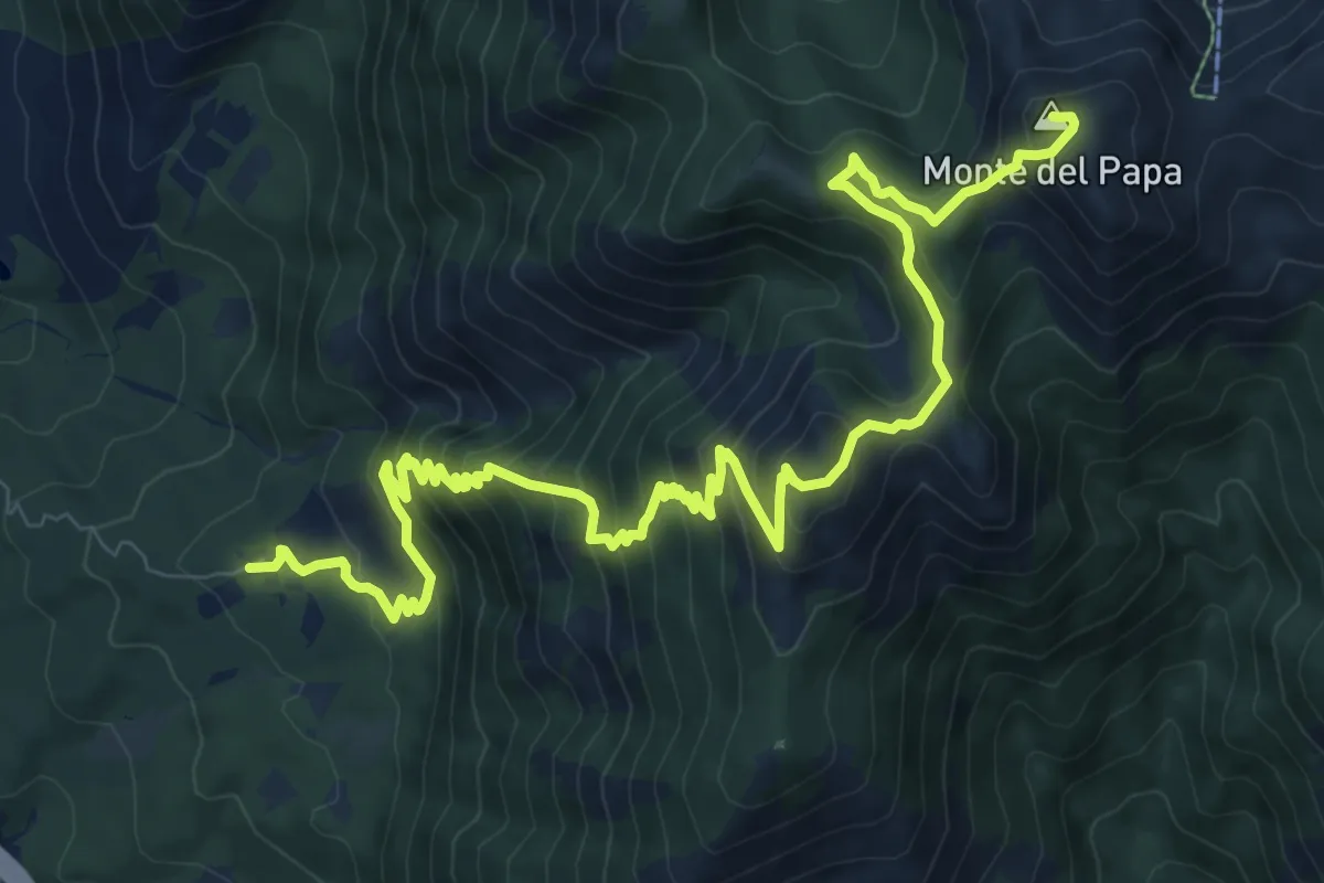
Demanding · Summit
Madonna del Brusco – Monte Papa
14.3 km · ↑ 1170 m · 5 h 55 min · 3 km away
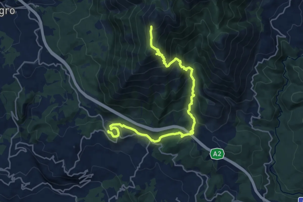
Demanding · Trail
Lago Sirino – Intersezione percorso n.620
17.5 km · ↑ 1115 m · 6 h 32 min · 5 km away
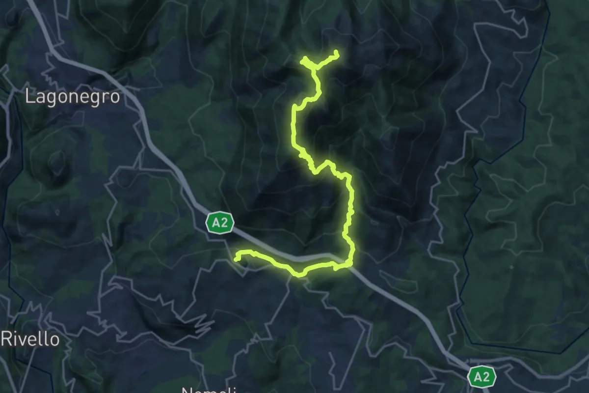
Demanding · Summit
Conserva di Lauria – Lago Sirino
21.9 km · ↑ 1485 m · 8 h 23 min · 5 km away
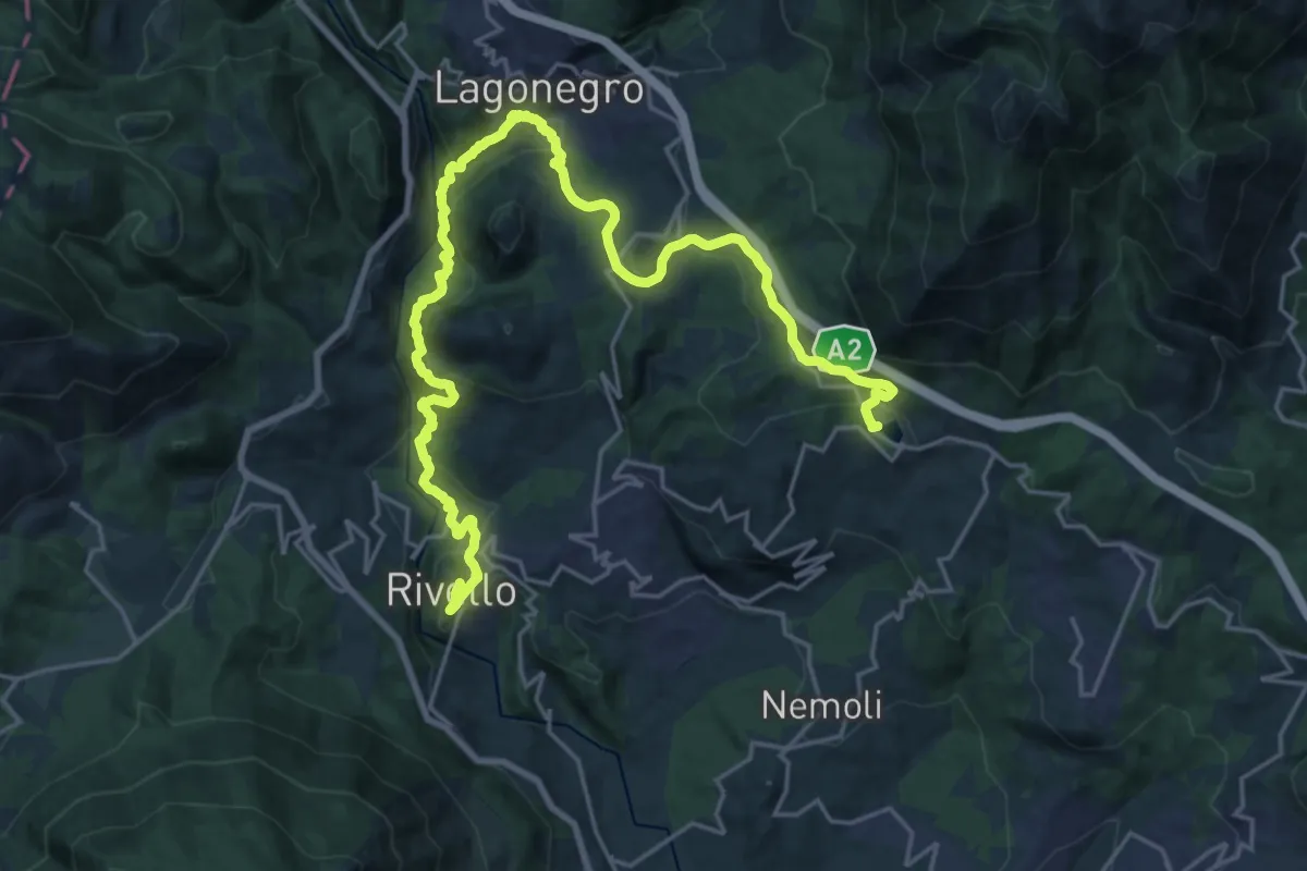
Medium · Trail
Lago Sirino – Comune di Rivello
14.9 km · ↑ 783 m · 5 h 16 min · 5 km away
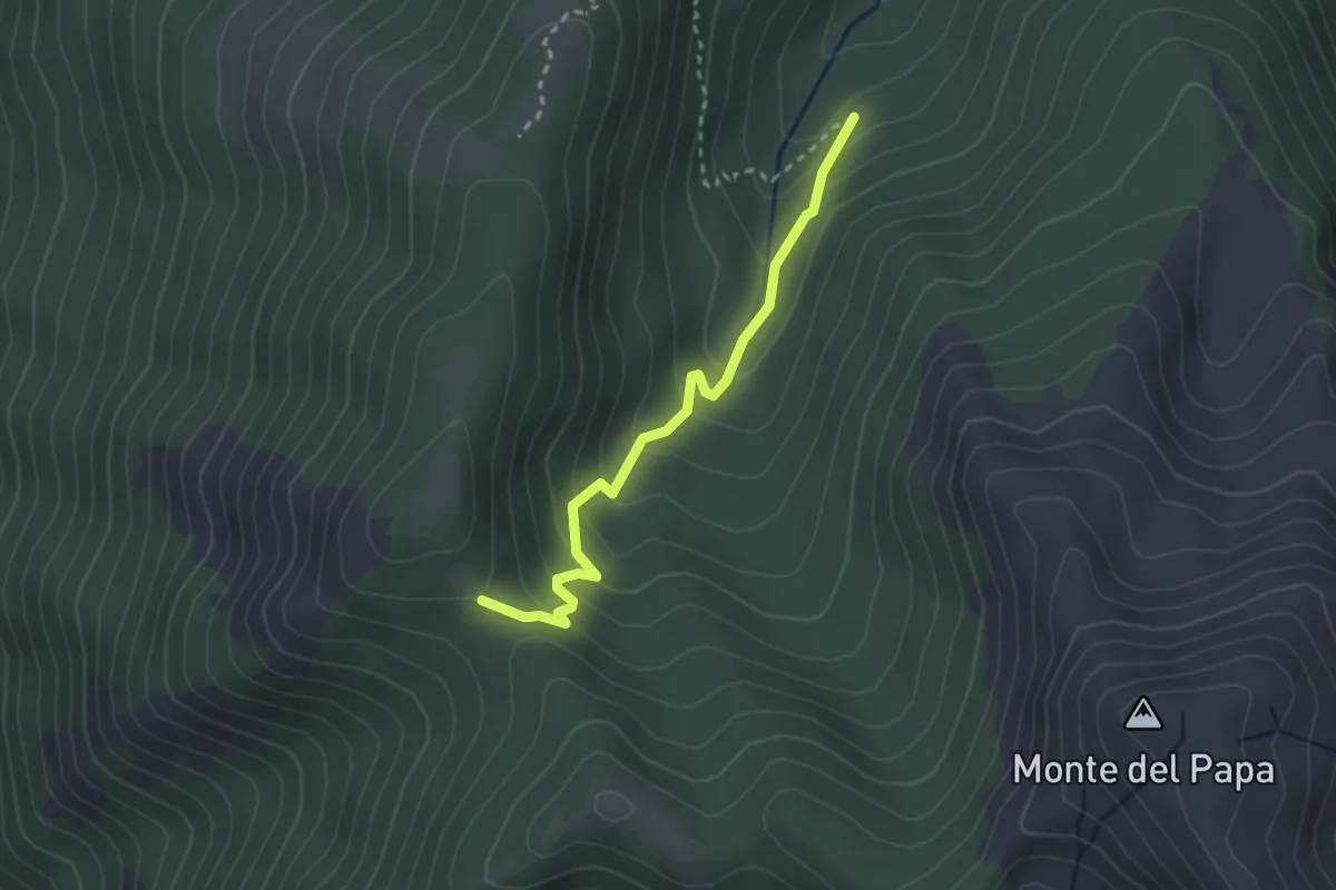
Easy · Trail
Intersezione 613 (Valle Dei Porcili) – Intersezione 613 (Valle del Palummo)
2.9 km · ↑ 205 m · 1 h 7 min · 5 km away
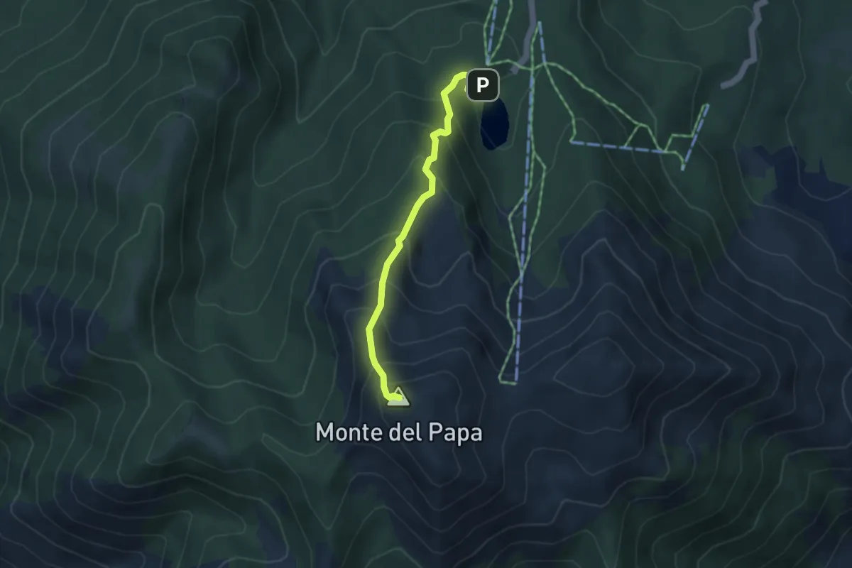
Medium · Summit
Lago Laudemio – Monte del Papa
3.9 km · ↑ 434 m · 1 h 52 min · 6 km away
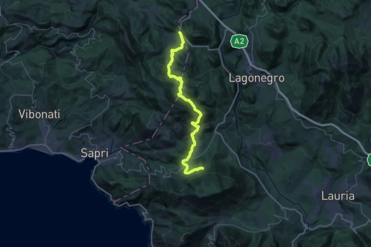
Demanding · Summit
Comune di Rivello – Fortino
33.0 km · ↑ 1465 m · 10 h 58 min · 6 km away
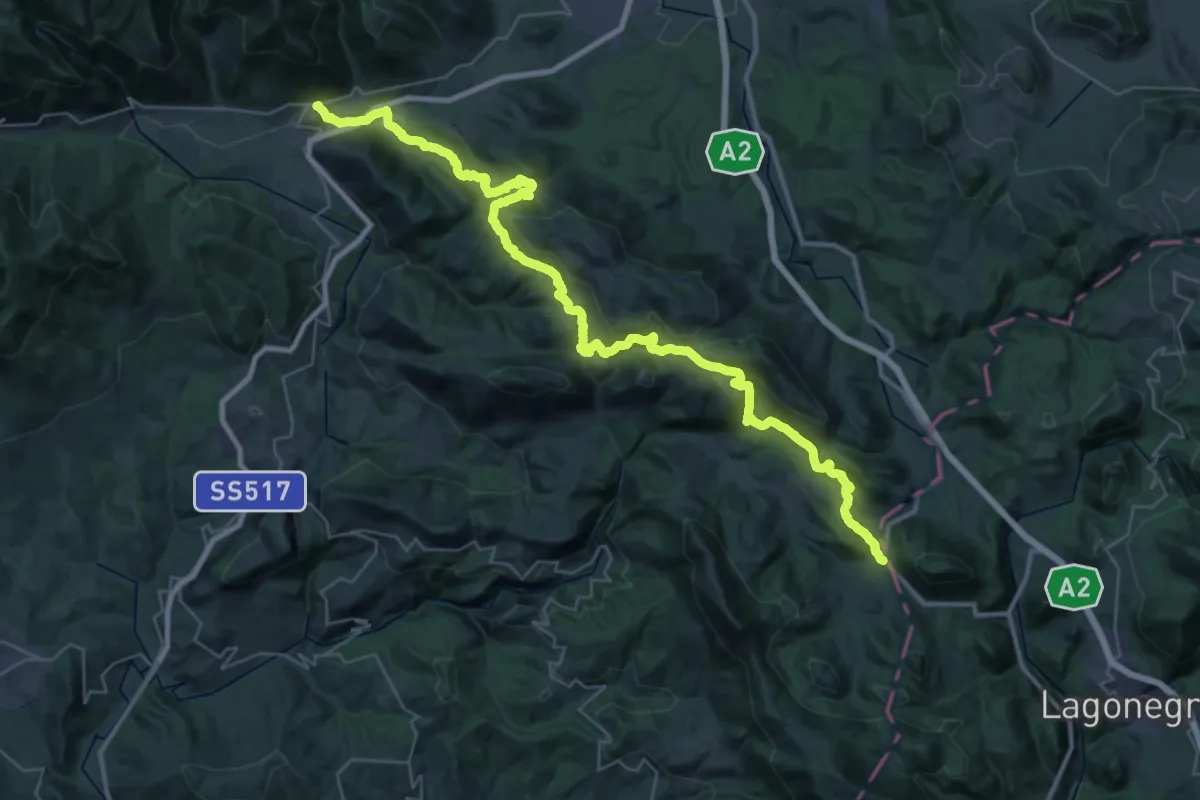
Demanding · Trail
Fortino – Sanza
24.0 km · ↑ 755 m · 7 h 44 min · 6 km away
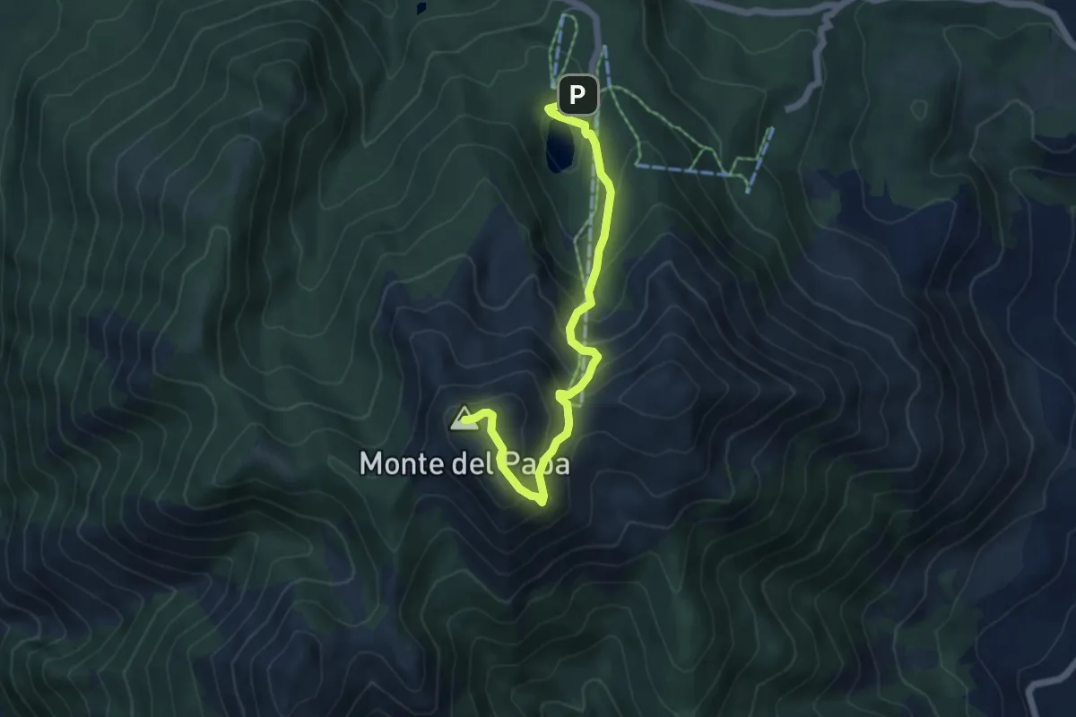
Medium · Summit
Lago Laudemio – Monte del Papa
6.0 km · ↑ 481 m · 2 h 28 min · 6 km away
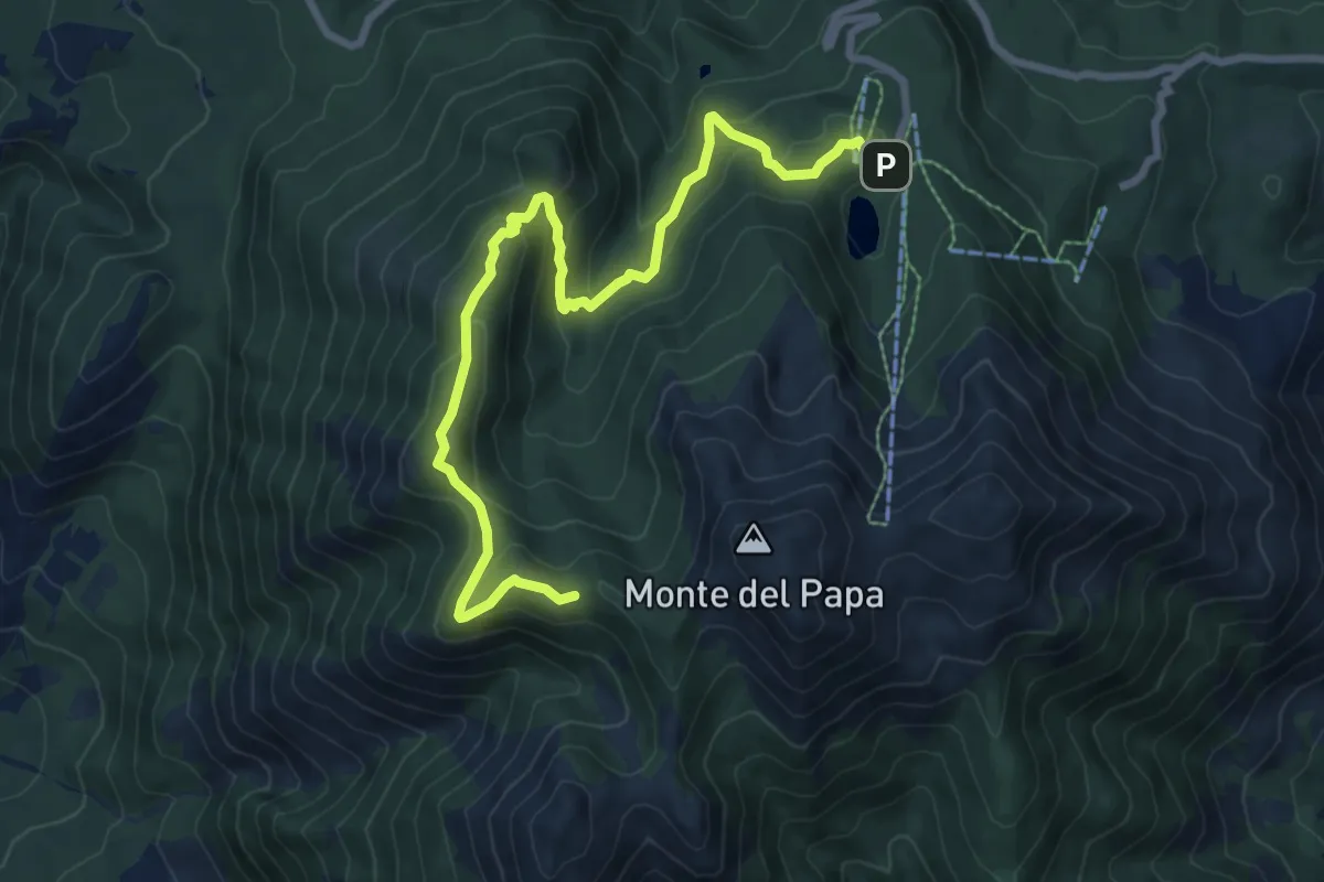
Medium · Trail
Lago Ludemio – Intersezione percorso n. 620
10.1 km · ↑ 545 m · 3 h 34 min · 7 km away
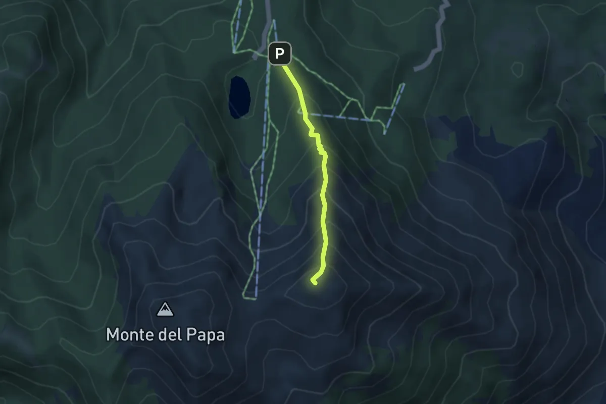
Medium · Summit
Timpa Scazzariddo – Intersezione 609
3.0 km · ↑ 374 m · 1 h 31 min · 7 km away
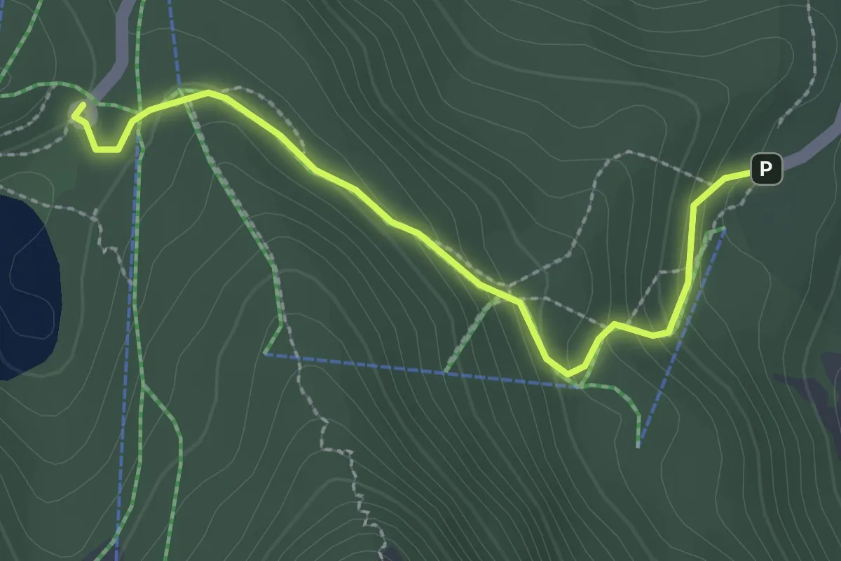
Easy · Trail
Rifugio Conserva – Lago Laudemio
2.7 km · ↑ 134 m · 56 min · 7 km away
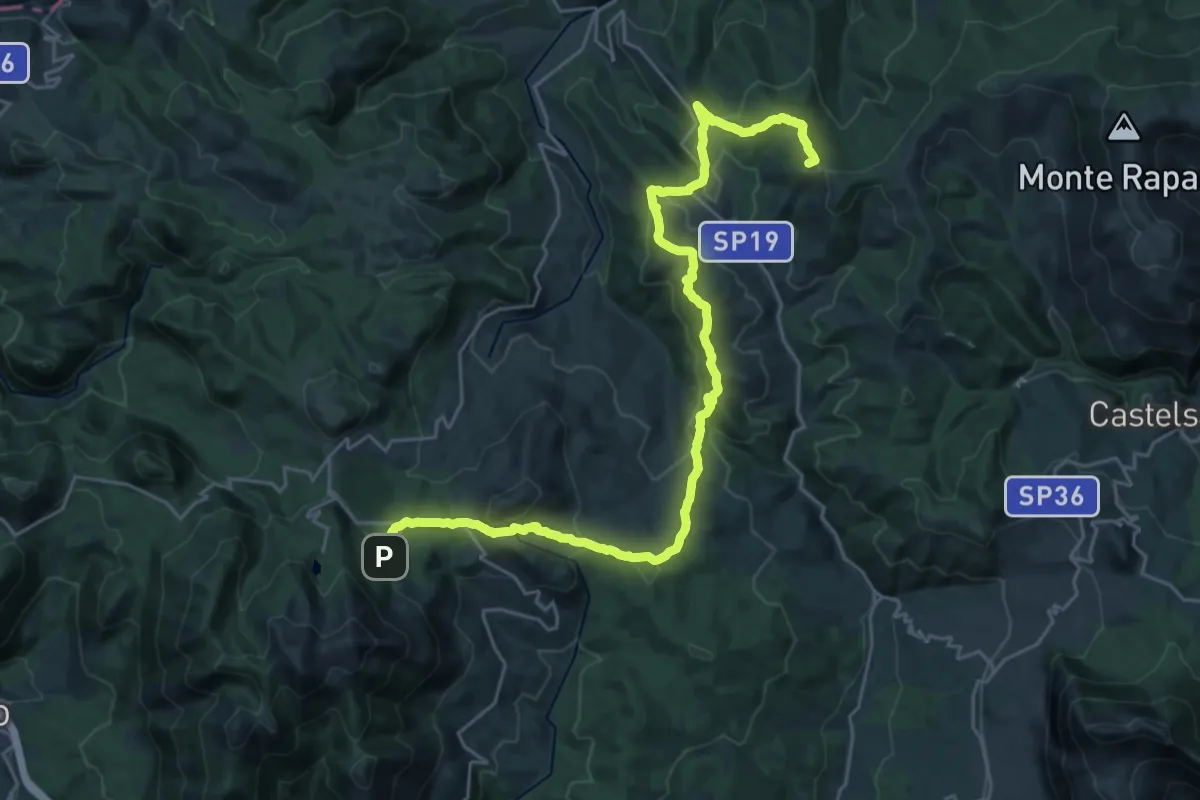
Demanding · Summit
Castelsaraceno – Conserva Lauria
32.0 km · ↑ 1268 m · 10 h 19 min · 7 km away
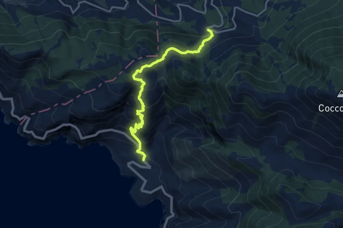
Demanding · Trail
Acquafredda - Piazza Francesco Saverio Nitti – Medichetta - incrocio sulla ex SS 104
10.3 km · ↑ 846 m · 4 h 16 min · 10 km away
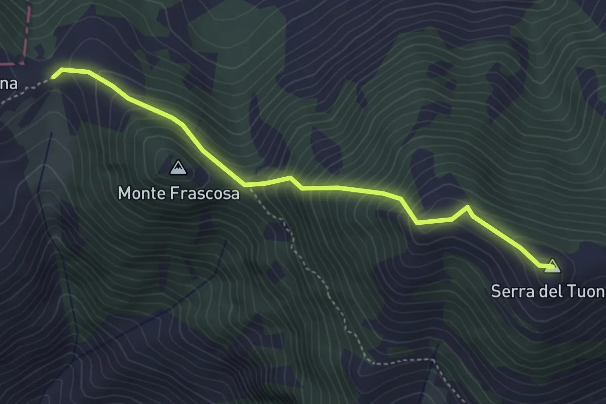
Medium · Summit
MSK Maratea Skyline
4.6 km · ↑ 492 m · 2 h 9 min · 11 km away
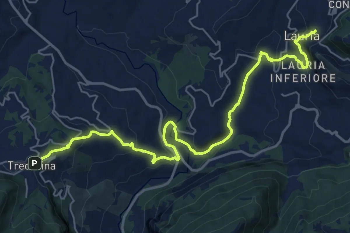
Demanding · Trail
Trecchina – Lauria
19.9 km · ↑ 800 m · 6 h 26 min · 11 km away
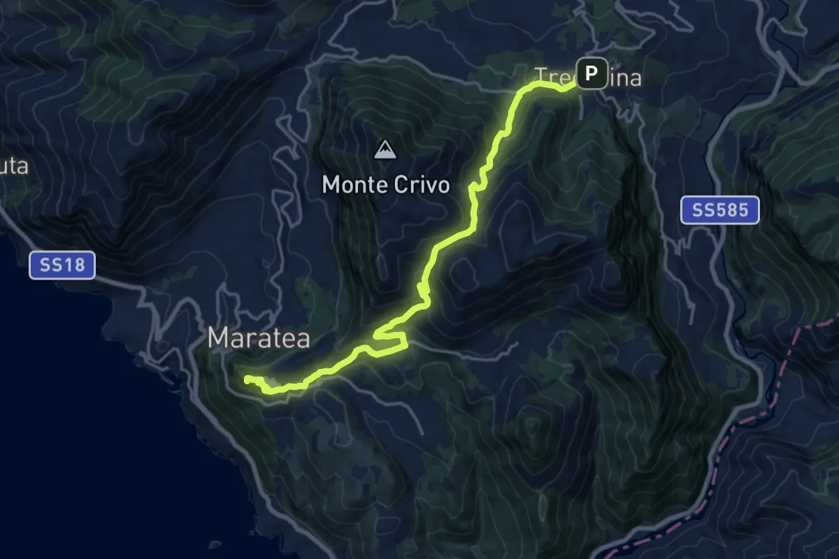
Demanding · Summit
Maratea – Trecchina
18.6 km · ↑ 897 m · 6 h 20 min · 11 km away
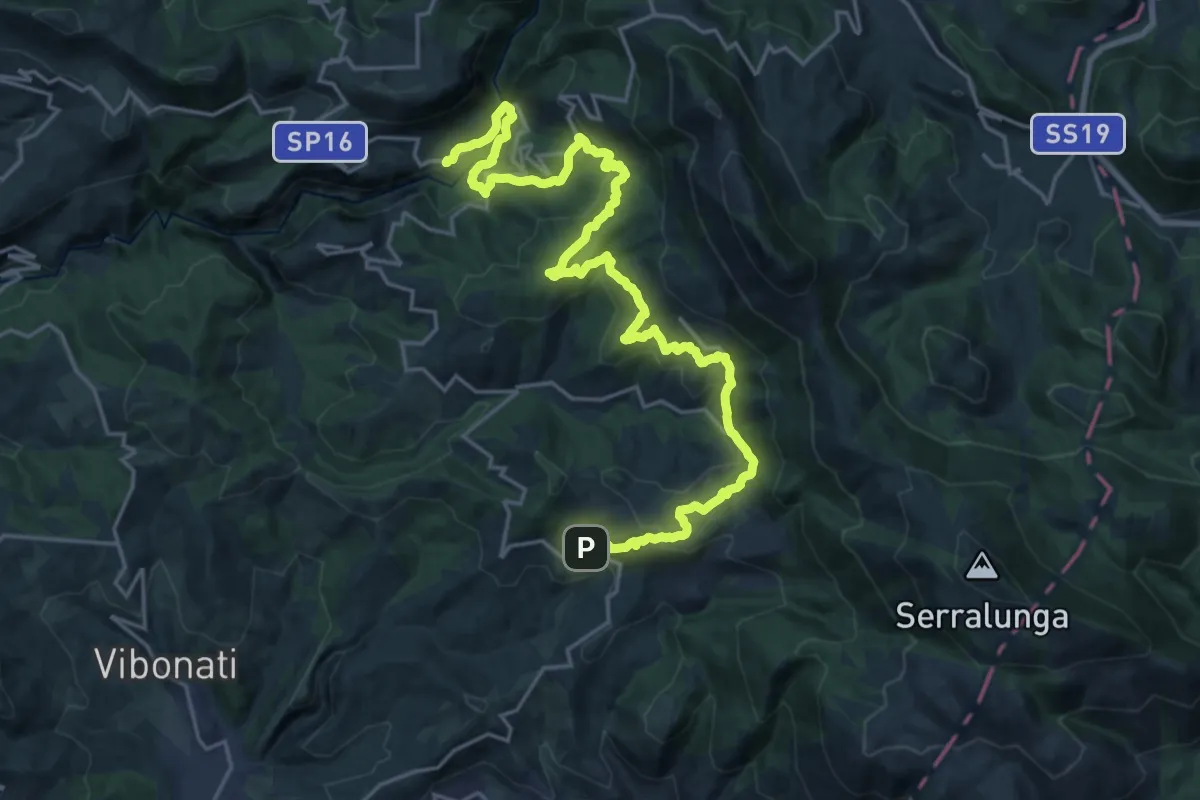
Medium · Trail
Cammino di San Nilo - Tappa 2
15.0 km · ↑ 702 m · 5 h 17 min · 11 km away
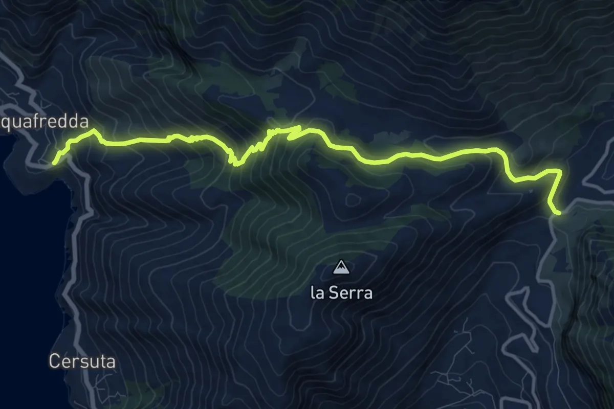
Demanding · Trail
Acquafredda – Passo Colla
13.7 km · ↑ 1063 m · 5 h 33 min · 11 km away
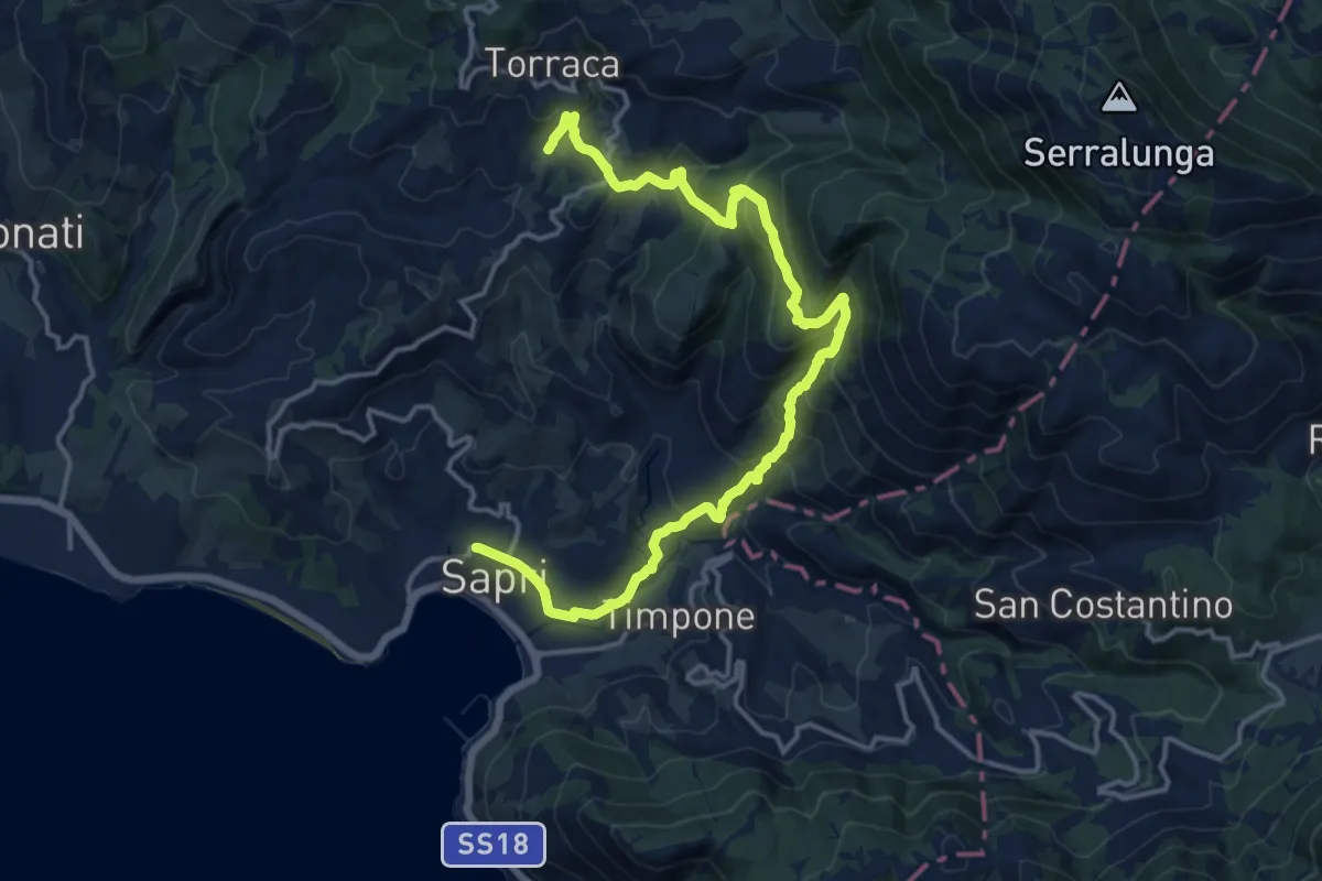
Demanding · Trail
Cammino di San Nilo - Tappa 1
19.6 km · ↑ 1081 m · 6 h 59 min · 11 km away
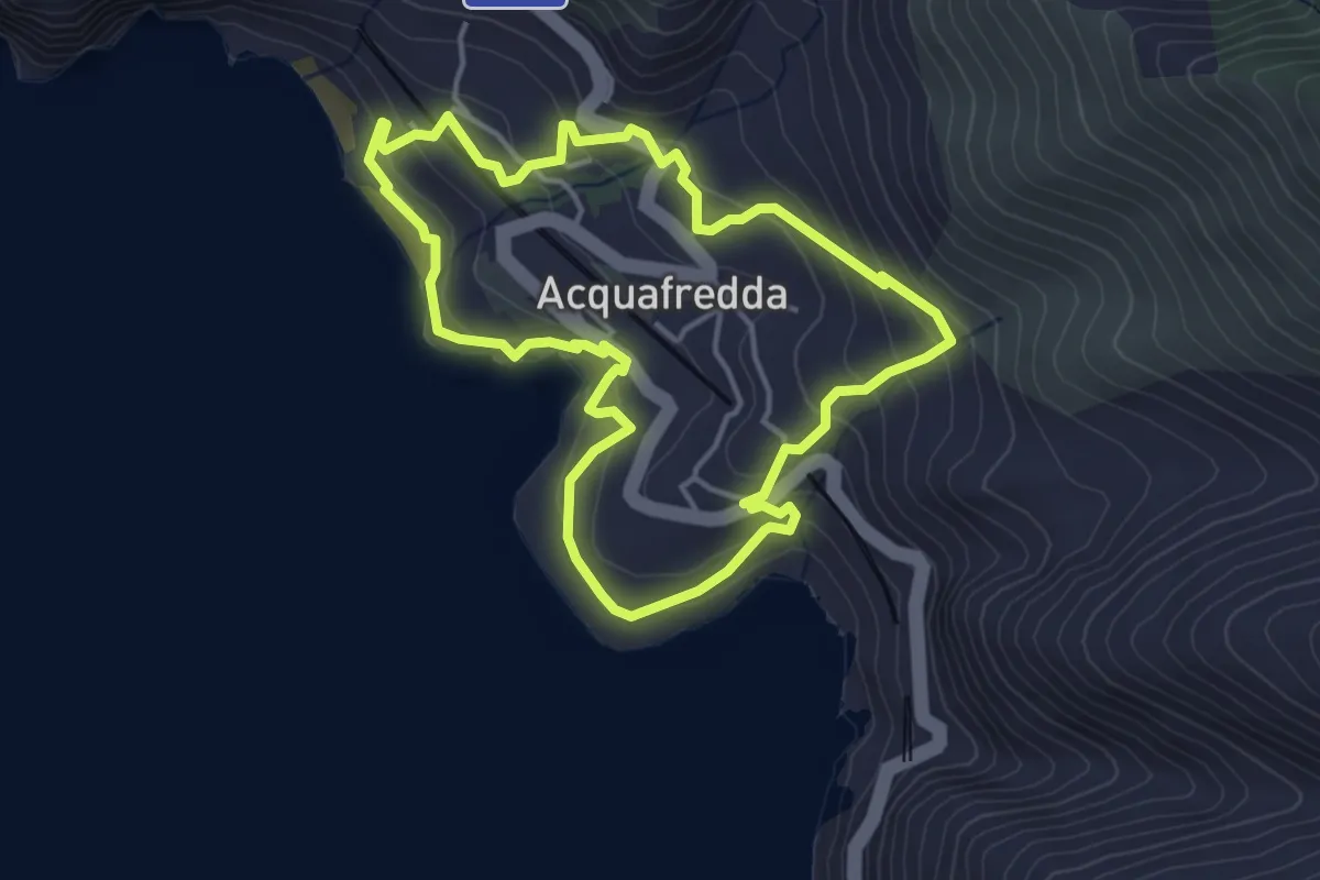
Medium · Trail
Anello di Acquafredda
4.4 km · ↑ 225 m · 1 h 36 min · 12 km away
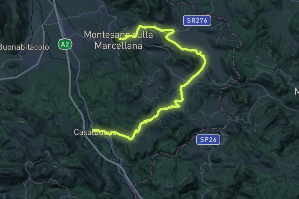
Demanding · Trail
Cammino del Negro - Tappa 11
23.0 km · ↑ 717 m · 7 h 10 min · 13 km away
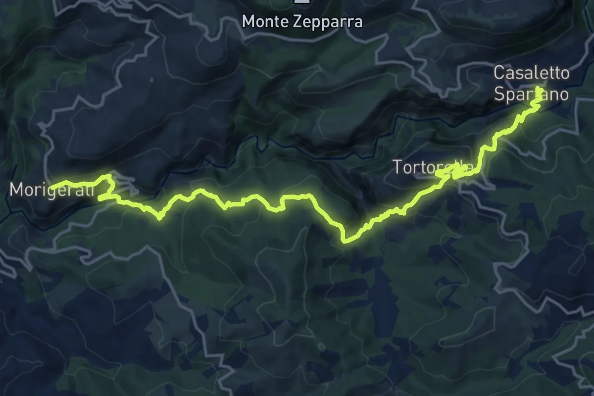
Demanding · Trail
Cammino di San Nilo - Tappa 3
18.9 km · ↑ 1209 m · 7 h 4 min · 13 km away
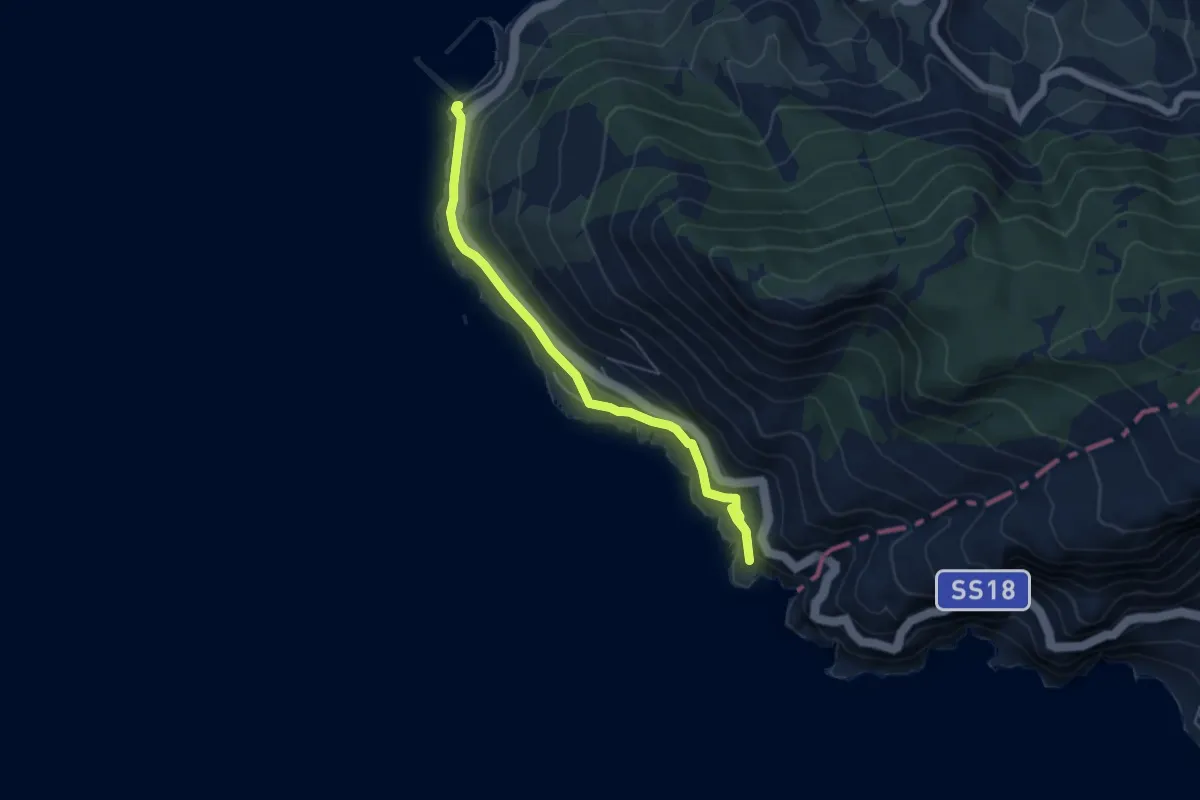
Easy · Trail
Apprezzami l'Asino
6.1 km · ↑ 215 m · 1 h 54 min · 14 km away
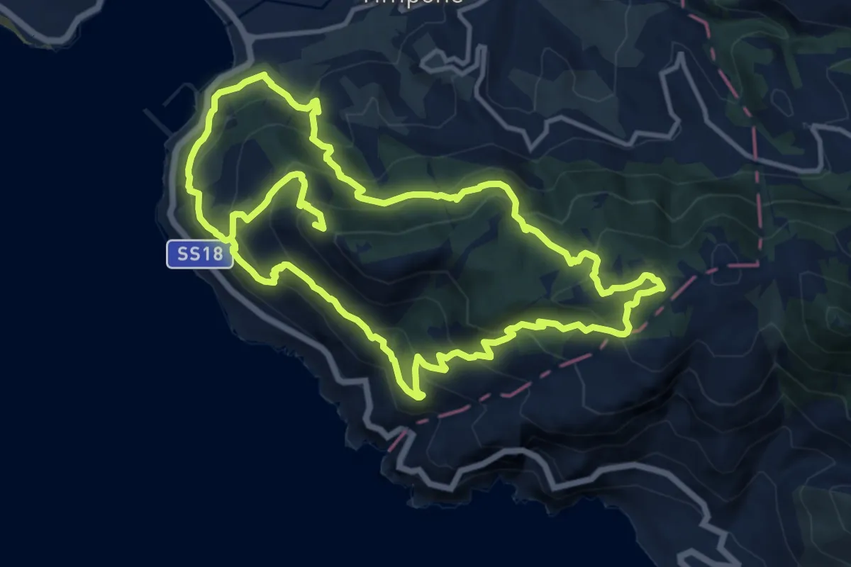
Demanding · Trail
Anello del Ceraso
12.7 km · ↑ 1055 m · 5 h 19 min · 14 km away
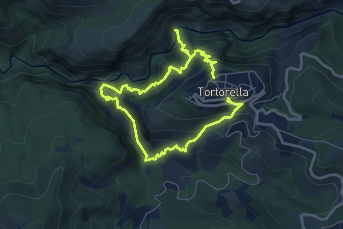
Expert · Trail
Anello Tortorella
9.8 km · ↑ 1142 m · 4 h 47 min · 14 km away