Trails near Laives - Leifers
150 hikes starting within 15 km, nearest first.
Nearest first, page 1 of 4
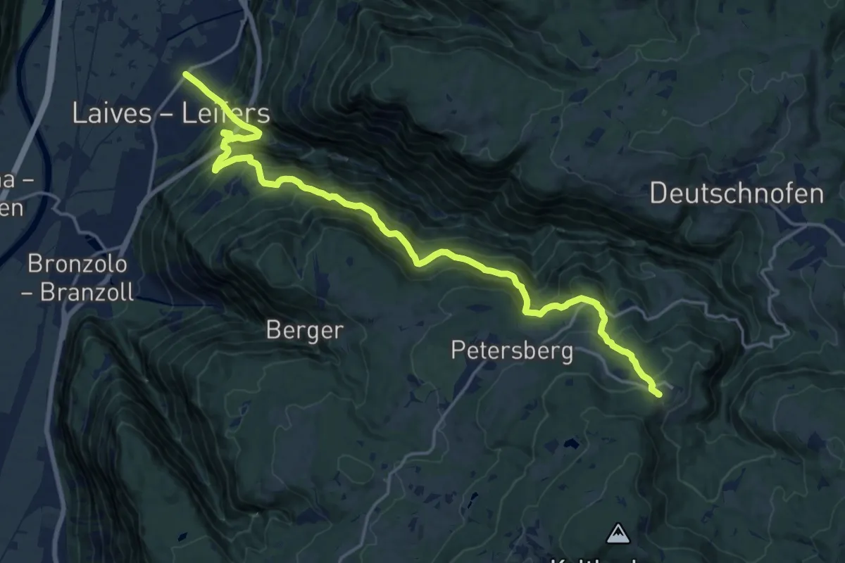
Demanding · Pilgrim path
Wallfahrtsweg - Via Crucis
9.8 km · ↑ 1484 m · 5 h 2 min · 1 km away
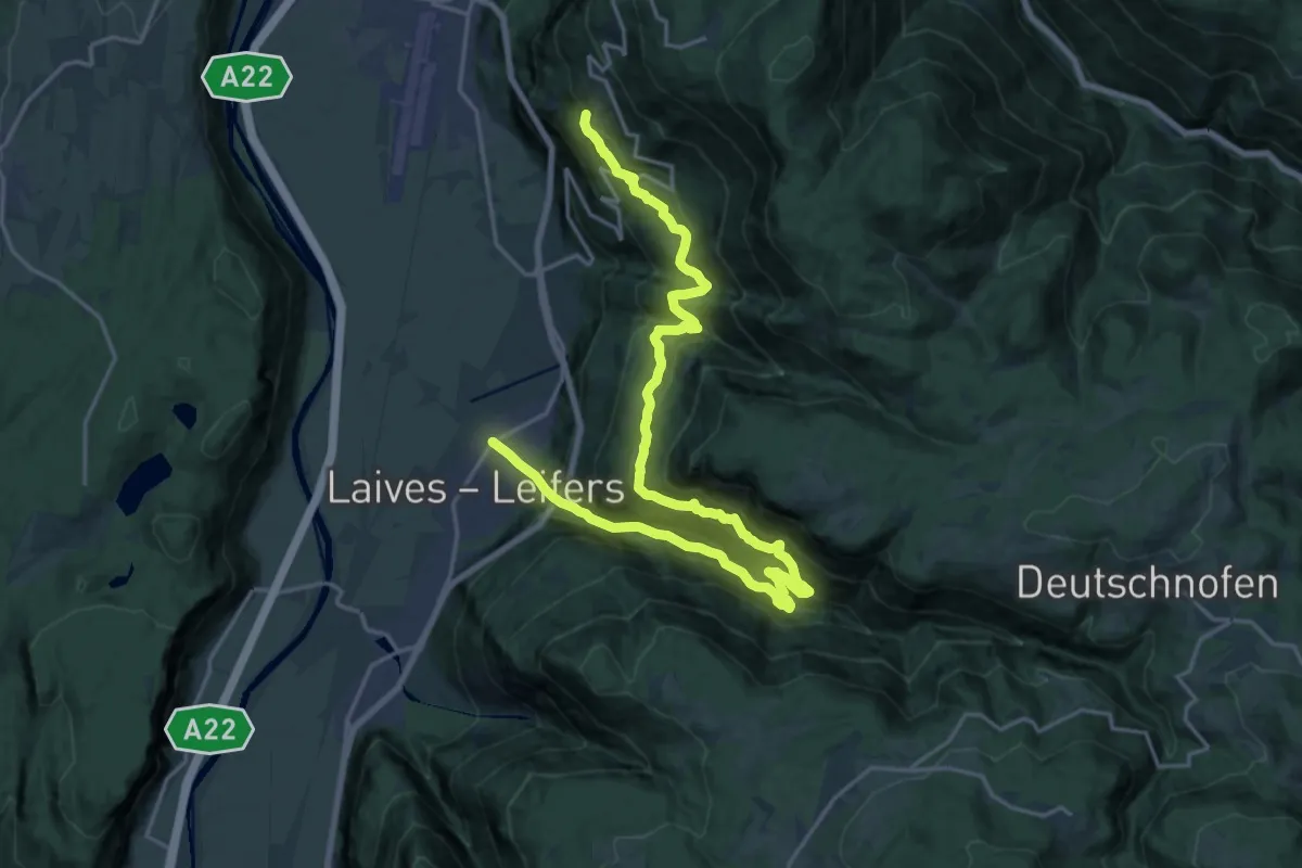
Medium · Trail
Leiferer Höhenweg
12.6 km · ↑ 689 m · 4 h 55 min · 4 km away
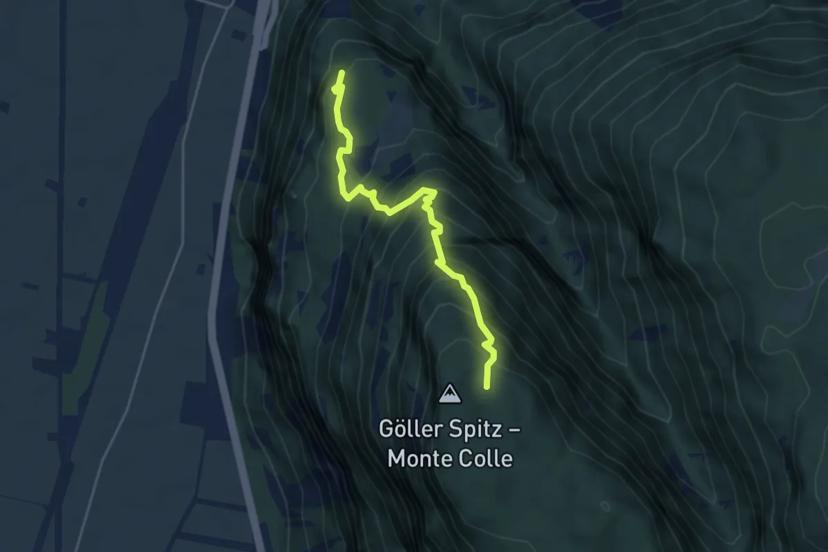
Demanding · Trail
Alter Branzollersteig
4.2 km · ↑ 561 m · 2 h 12 min · 4 km away
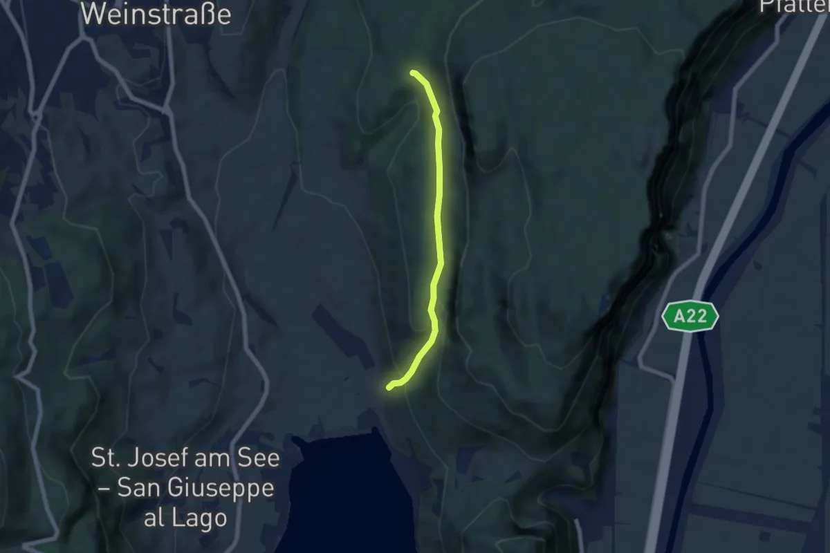
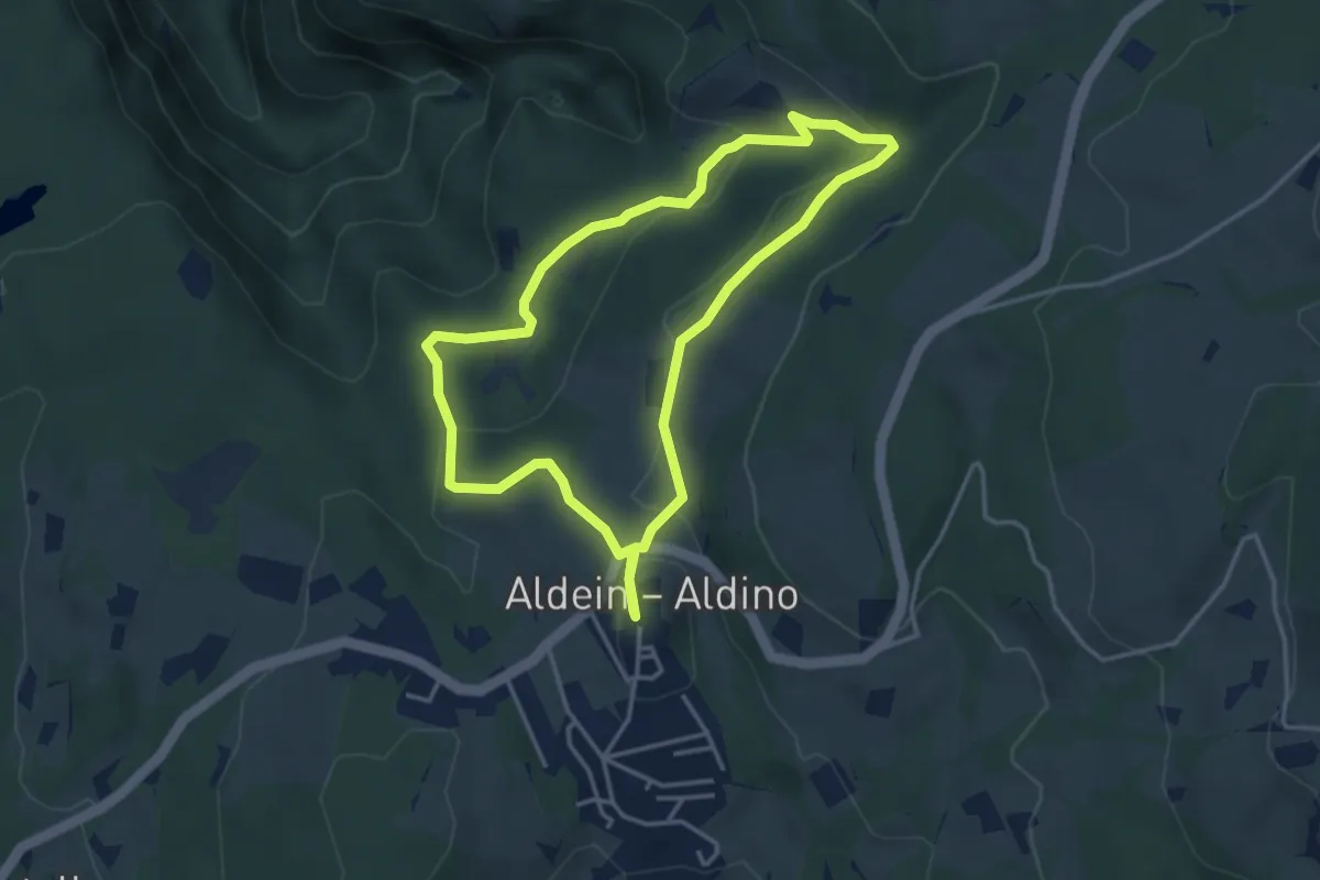
Easy · Trail
Kasterneienweg
4.8 km · ↑ 212 m · 1 h 36 min · 5 km away
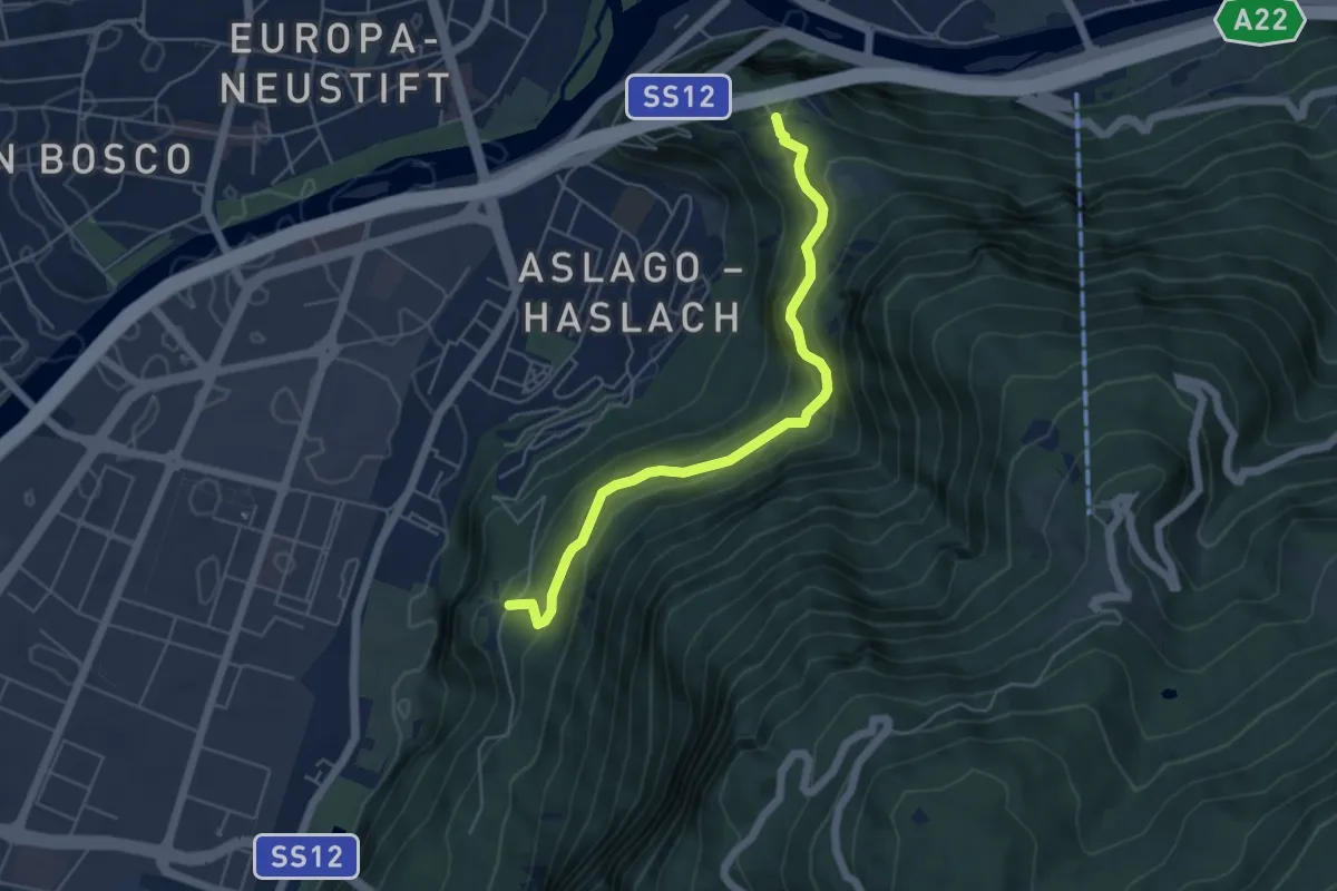
Easy · Trail
Mühlenweg - Sentiero dei Mulini
3.6 km · ↑ 107 m · 1 h 8 min · 5 km away
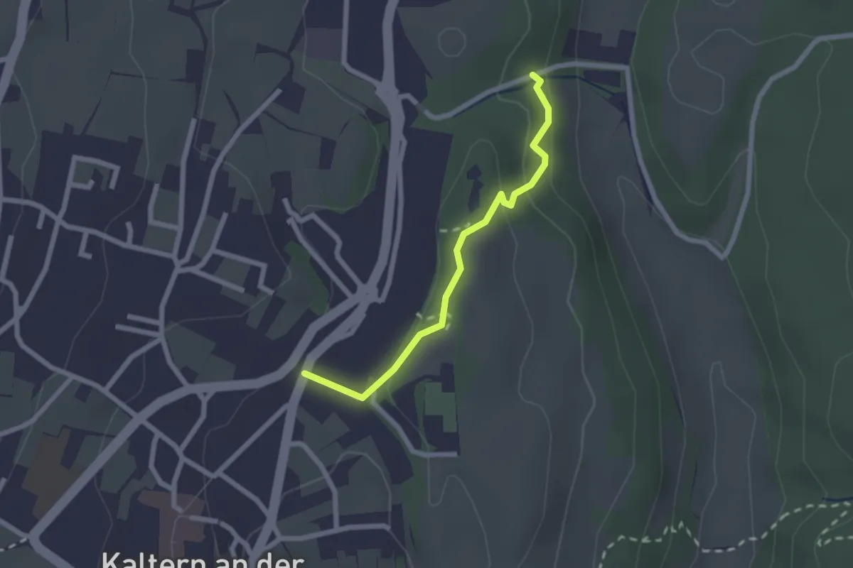
Medium · Trail
Haselburg - Castel Flavon – Virgl - Virgolo
5.1 km · ↑ 396 m · 2 h 4 min · 6 km away
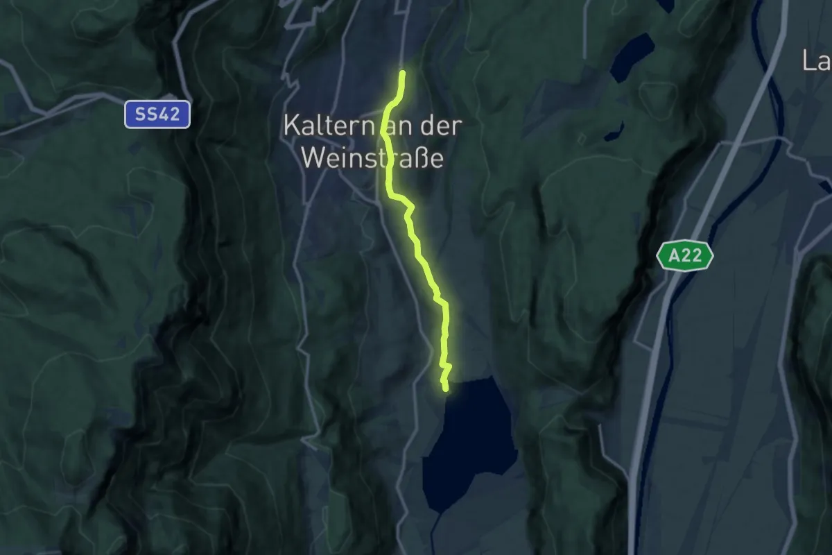
Easy · Trail
Paul Troger Weg - Via Paul Troger
2.0 km · ↑ 58 m · 35 min · 6 km away
Medium · Trail
Wanderweg Kalterer See
9.2 km · ↑ 233 m · 2 h 41 min · 6 km away
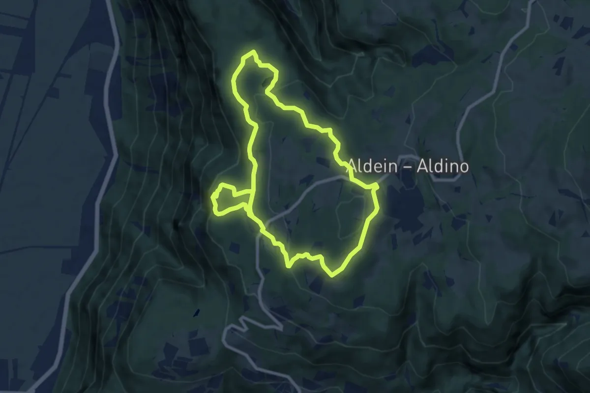
Medium · Trail
Göllerseerunde
15.0 km · ↑ 476 m · 4 h 35 min · 7 km away
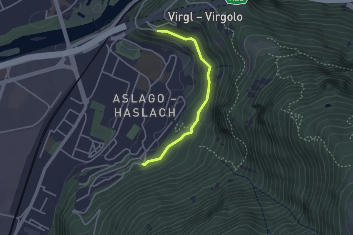
Easy · Trail
Promenade Haslach Virgl
2.6 km · ↑ 108 m · 50 min · 7 km away
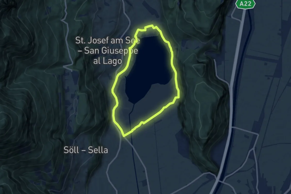
Easy · Trail
Seerundweg
7.4 km · ↑ 61 m · 1 h 59 min · 7 km away
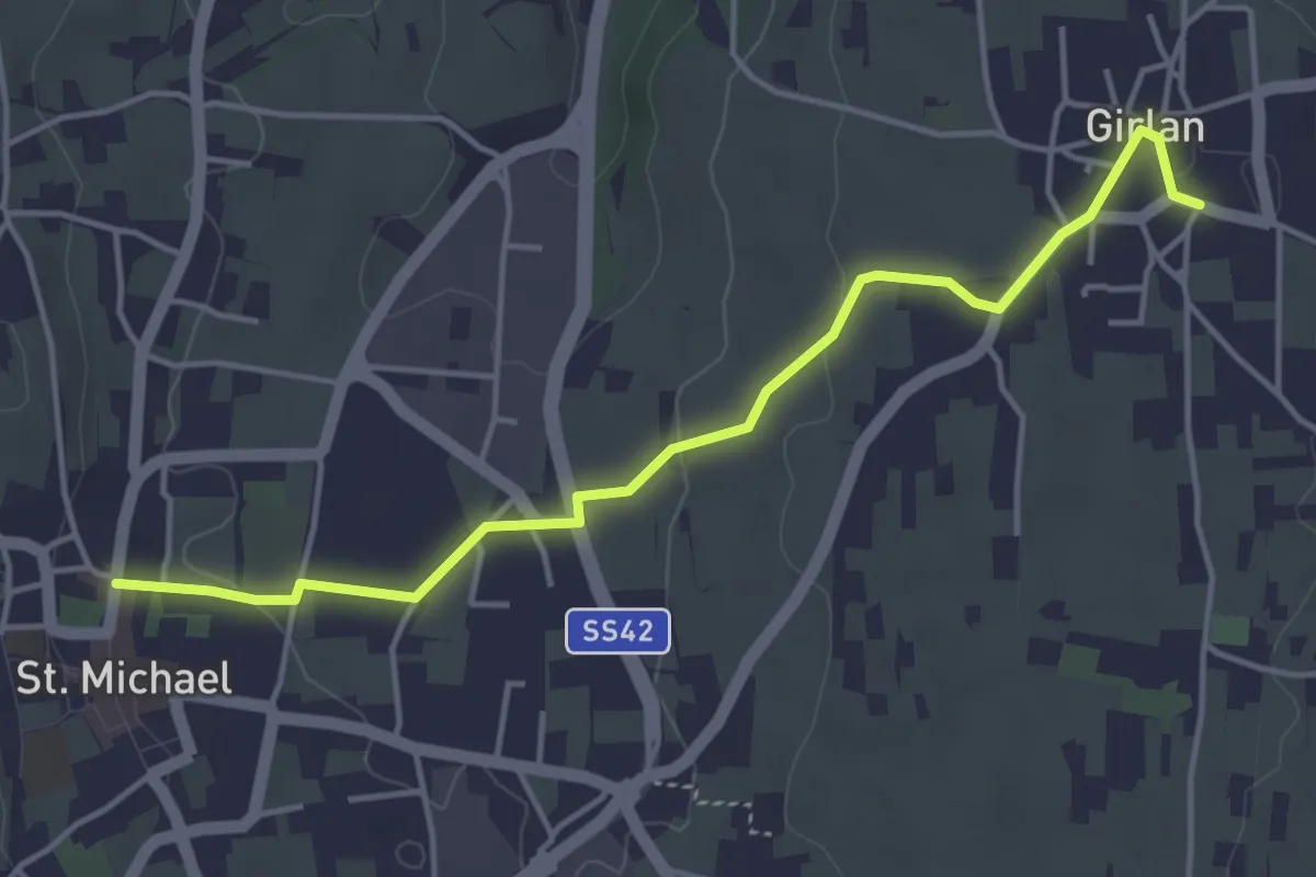
Easy · Trail
Maria Rast Weg
4.5 km · ↑ 82 m · 1 h 15 min · 7 km away
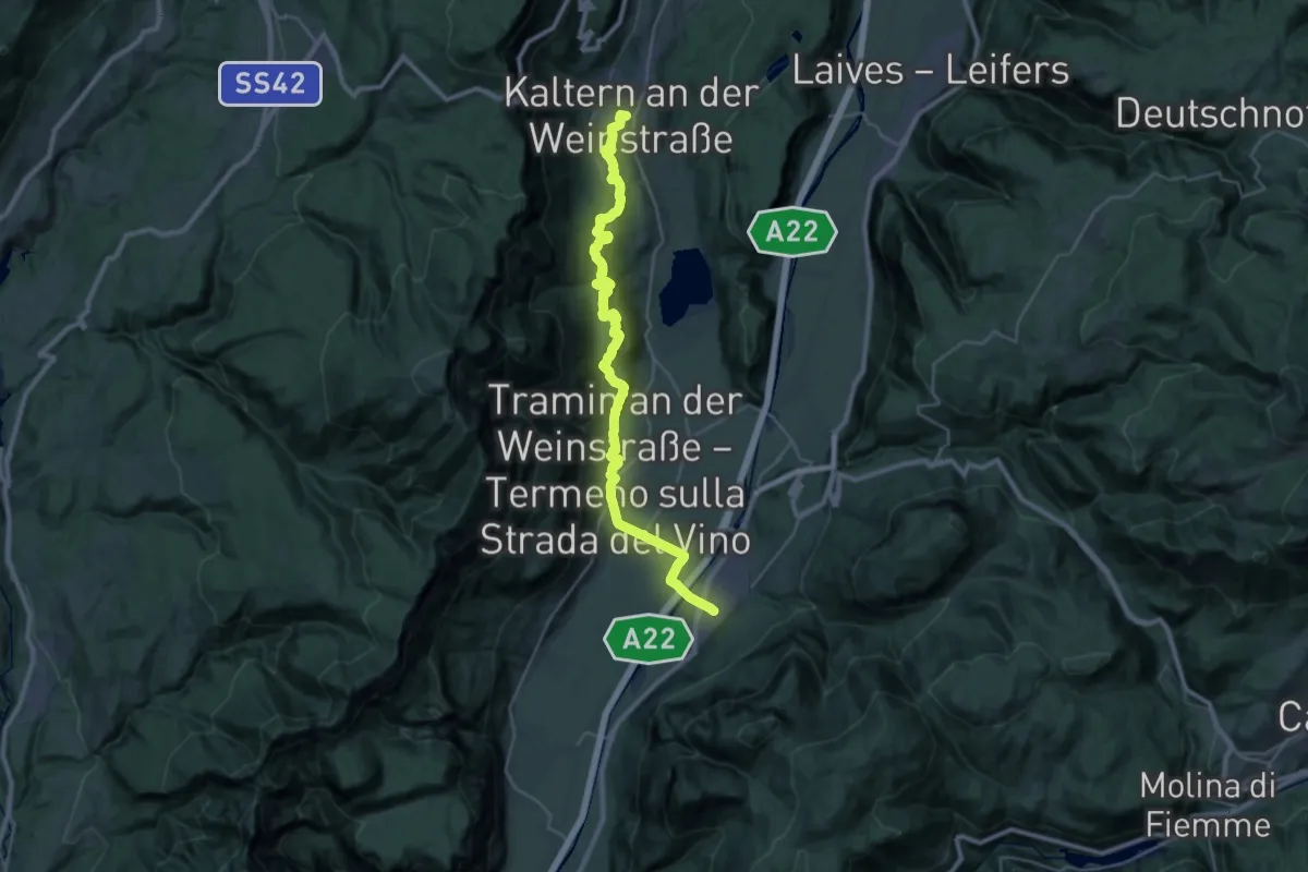
Medium · Trail
Cammino del beato Enrico - Tappa 2
16.5 km · ↑ 404 m · 5 h 6 min · 7 km away
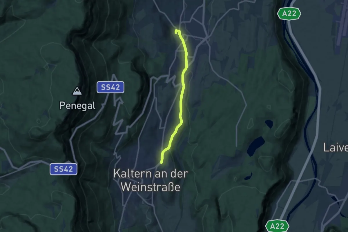
Medium · Trail
Überetscher Spazierweg
9.3 km · ↑ 96 m · 2 h 24 min · 7 km away
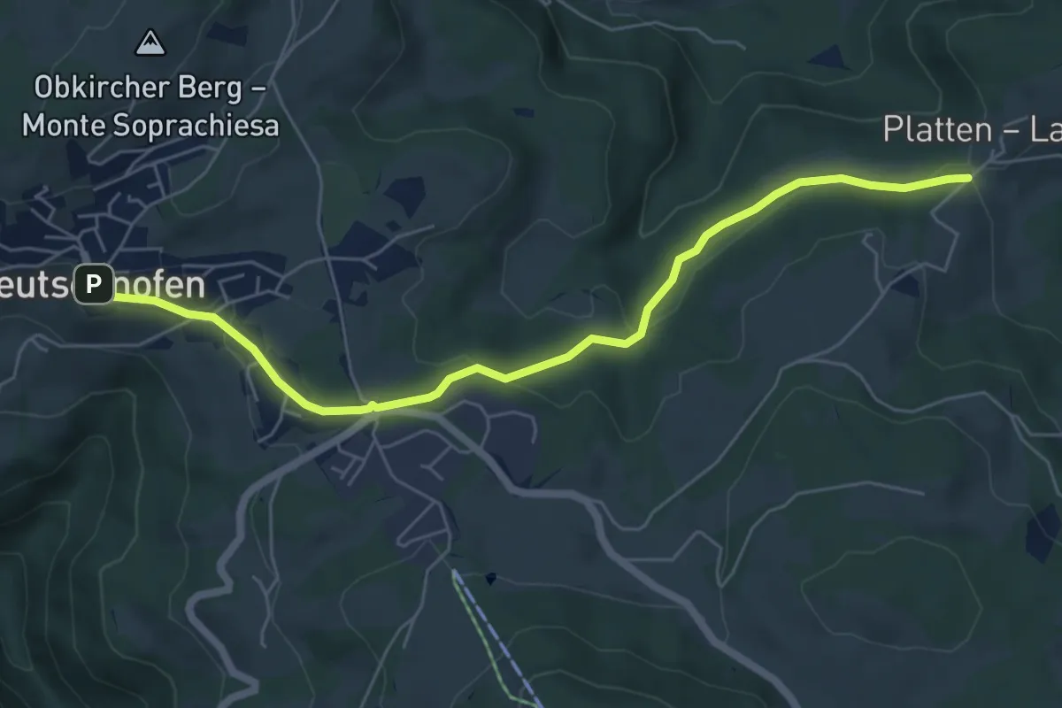
Easy · Trail
Plattenbodenweg
6.2 km · ↑ 148 m · 1 h 47 min · 7 km away
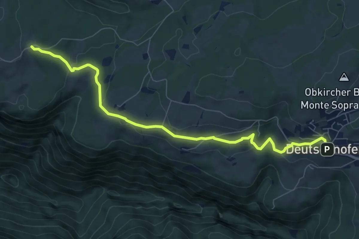
Medium · Trail
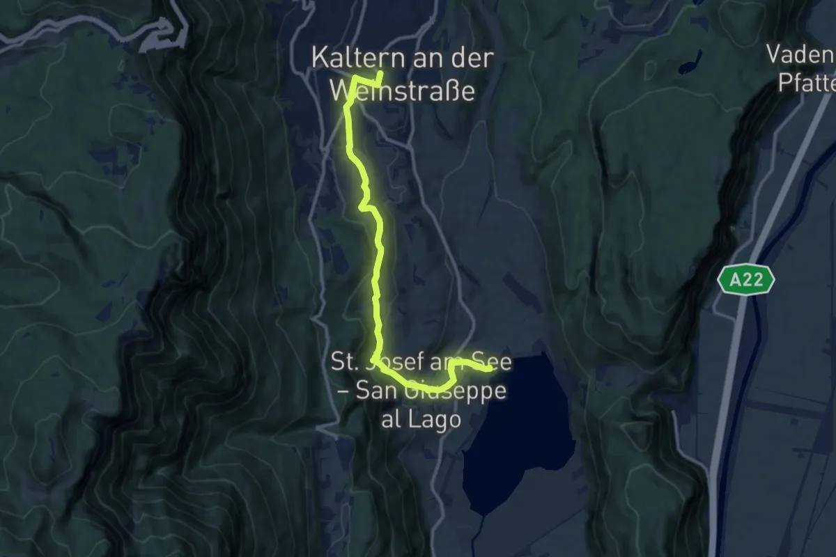
Kirchweg
8.0 km · ↑ 254 m · 2 h 27 min · 7 km away
Medium · Trail
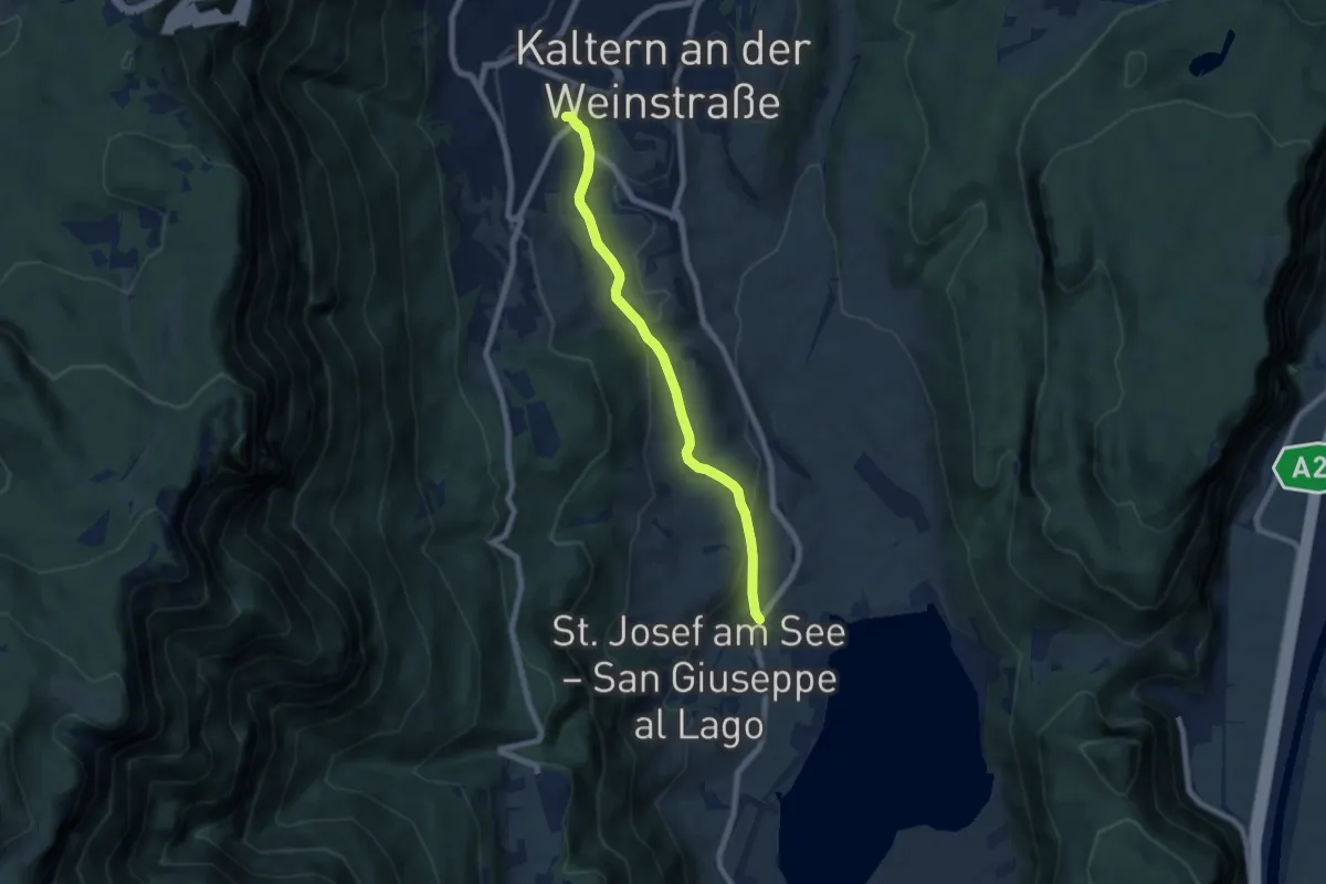
Kardatscher Weg - Sentiero Kardatsch
10.9 km · ↑ 381 m · 3 h 25 min · 7 km away
Easy · Trail
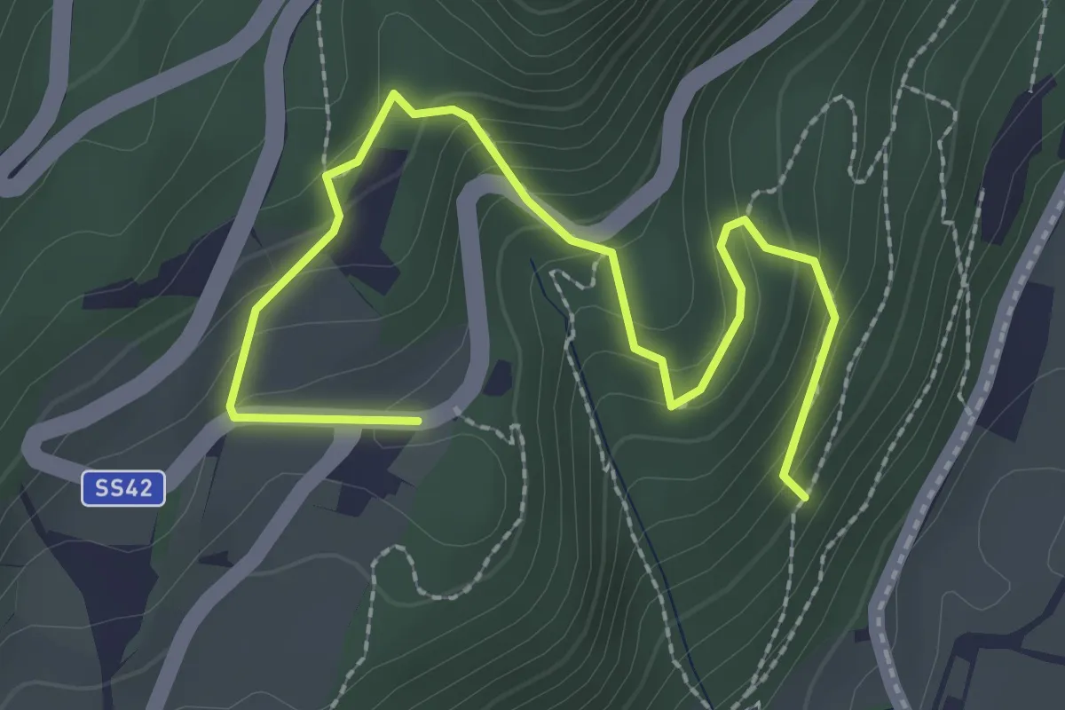
Barleiter Weg
6.6 km · ↑ 236 m · 2 h 4 min · 7 km away
Medium · Trail
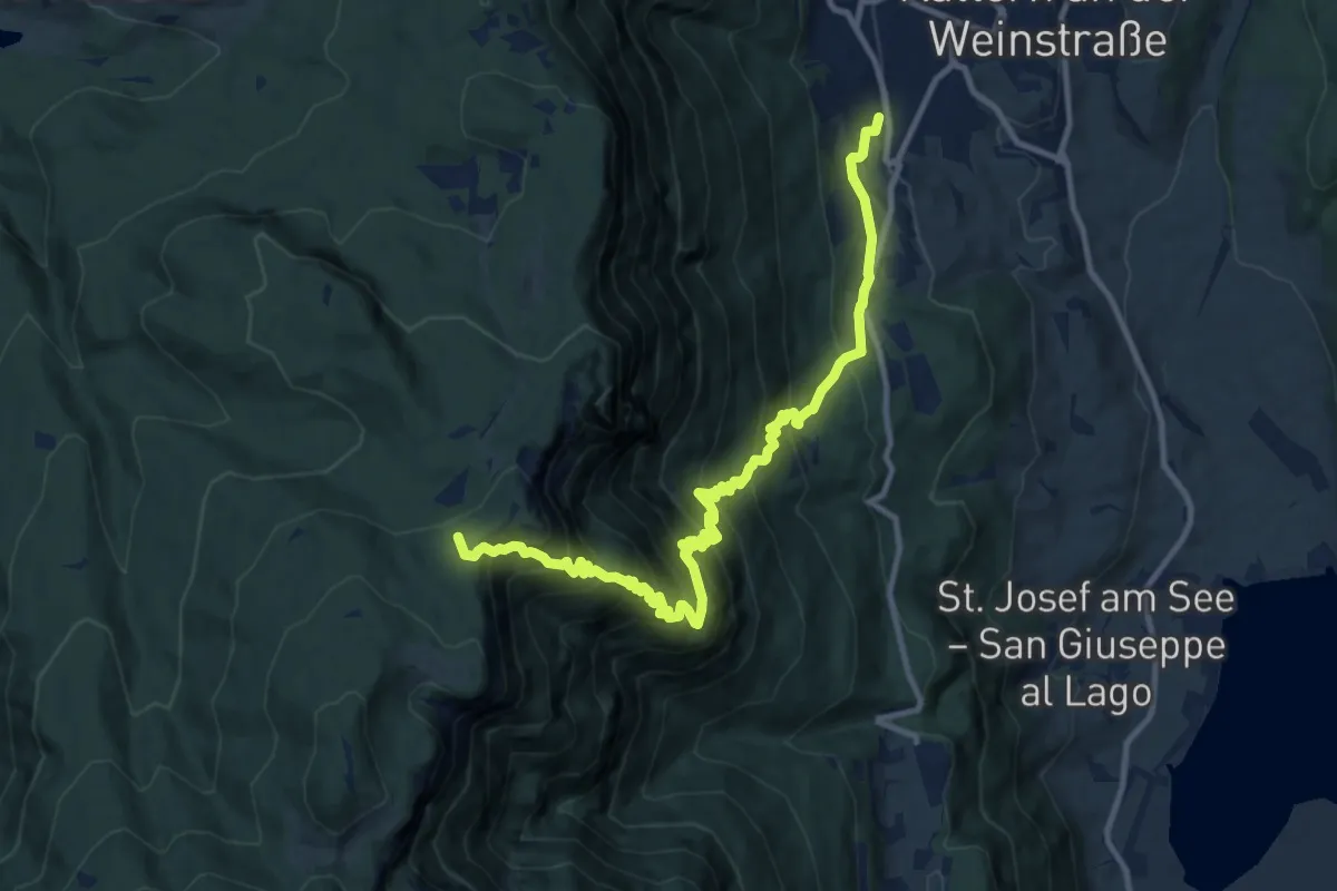
Tuiflslammerweg
3.0 km · ↑ 197 m · 1 h 8 min · 8 km away
Demanding · Summit
Prazollsteig
12.7 km · ↑ 1205 m · 5 h 37 min · 8 km away
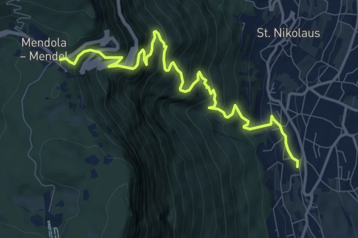
Demanding · Trail
Mendelsteig - Sentiero della Mendola
9.1 km · ↑ 969 m · 4 h 15 min · 8 km away
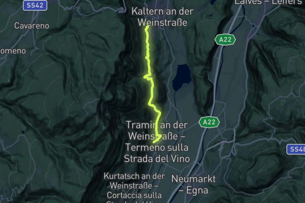
Demanding · Trail
Naturerlebnisweg
19.2 km · ↑ 671 m · 6 h · 8 km away
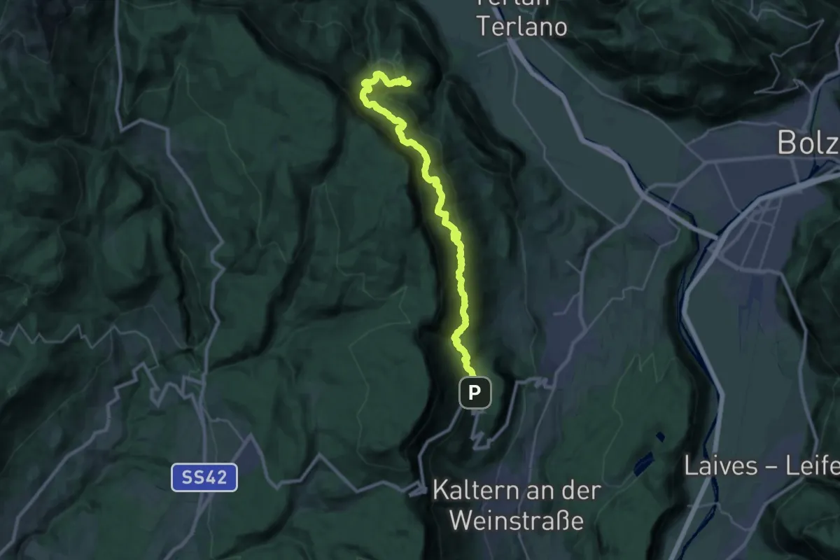
Expert · Trail
Eppaner Höhenweg - Alta Via di Appiano
13.0 km · ↑ 888 m · 5 h 9 min · 8 km away
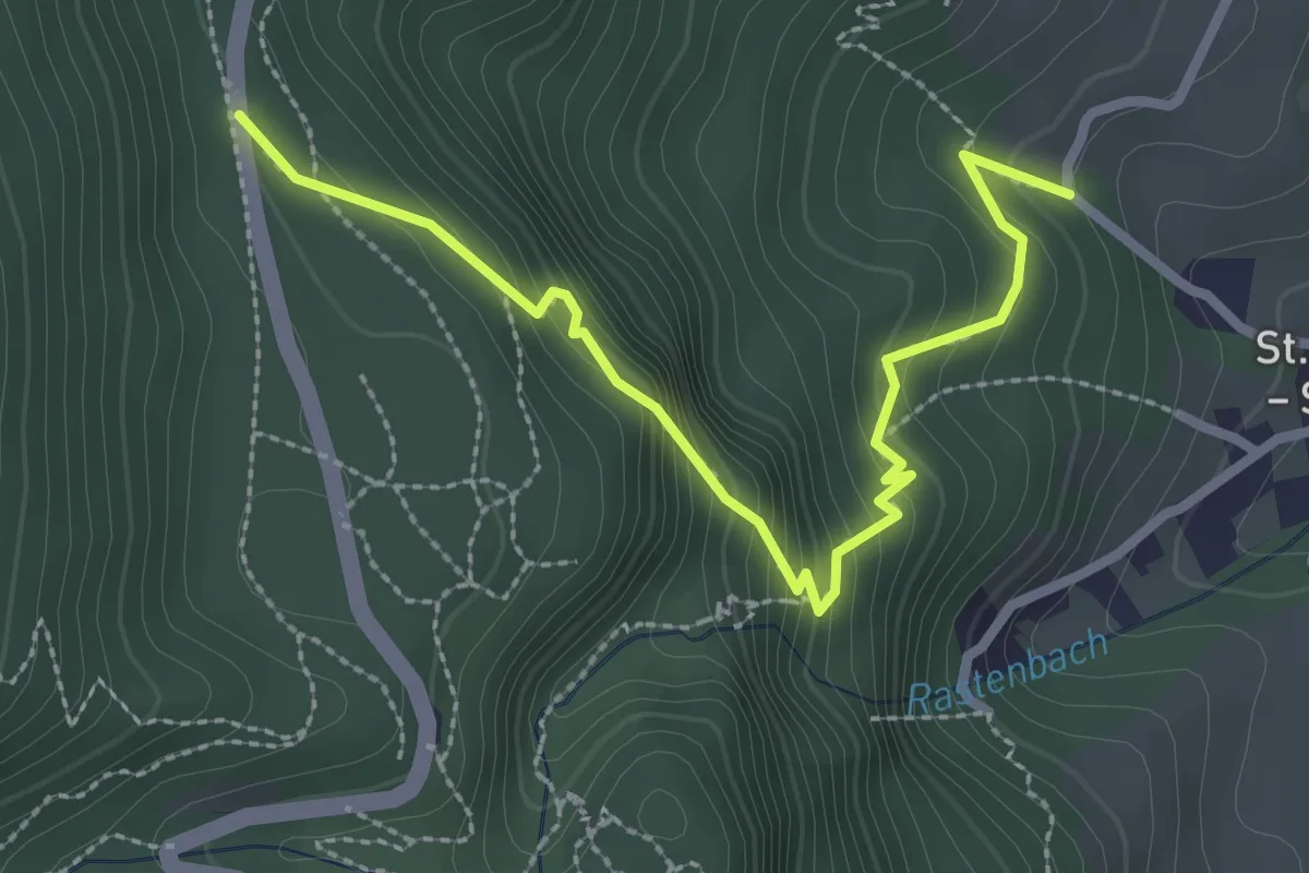
Medium · Trail
Bärentalwanderweg
3.0 km · ↑ 299 m · 1 h 21 min · 8 km away
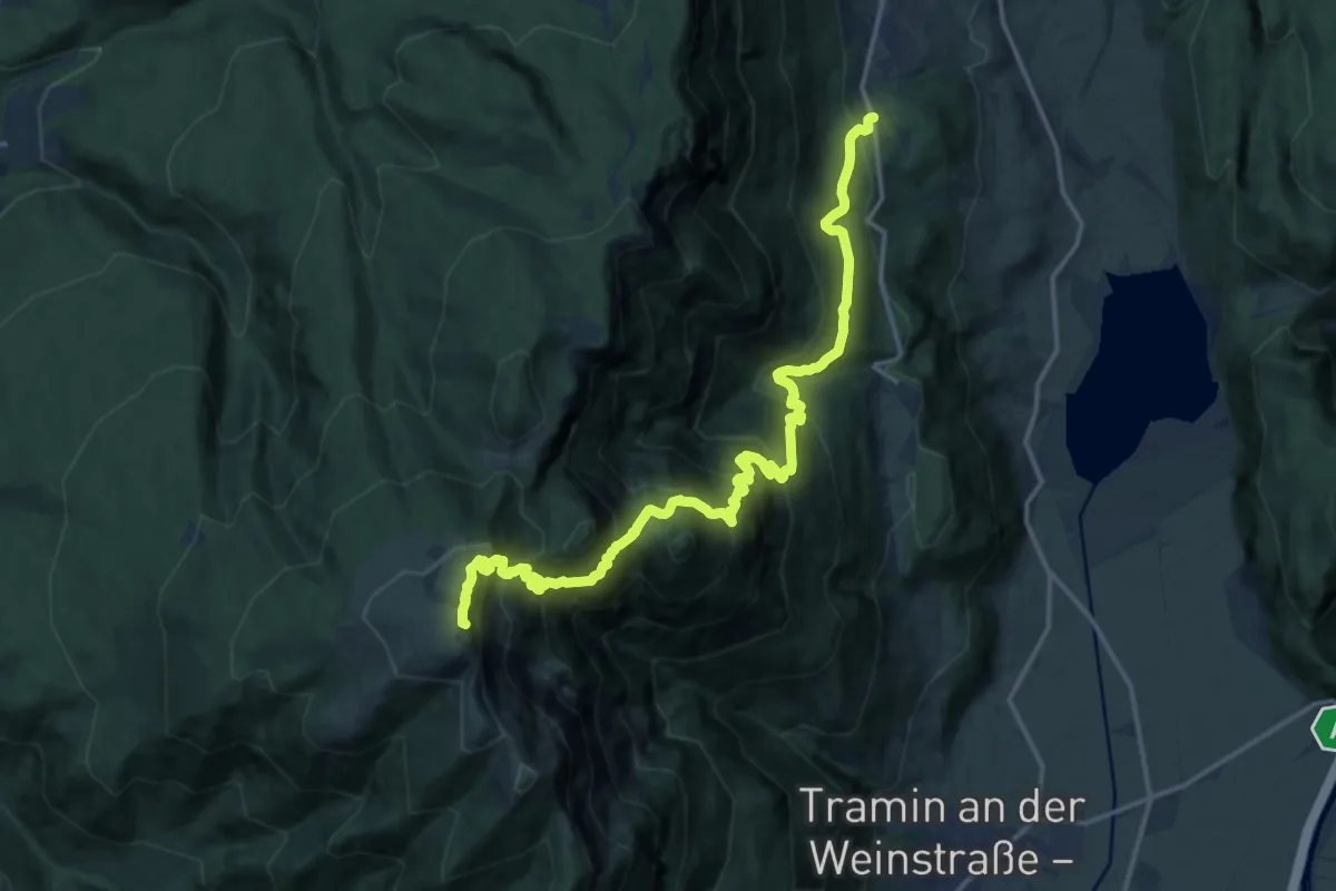
Expert · Summit
Göllersteig
18.3 km · ↑ 1885 m · 8 h 24 min · 8 km away
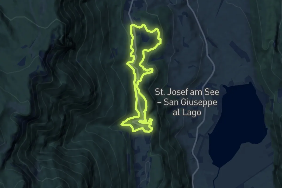
Medium · Trail
Sentiero della Pace
7.6 km · ↑ 301 m · 2 h 33 min · 8 km away
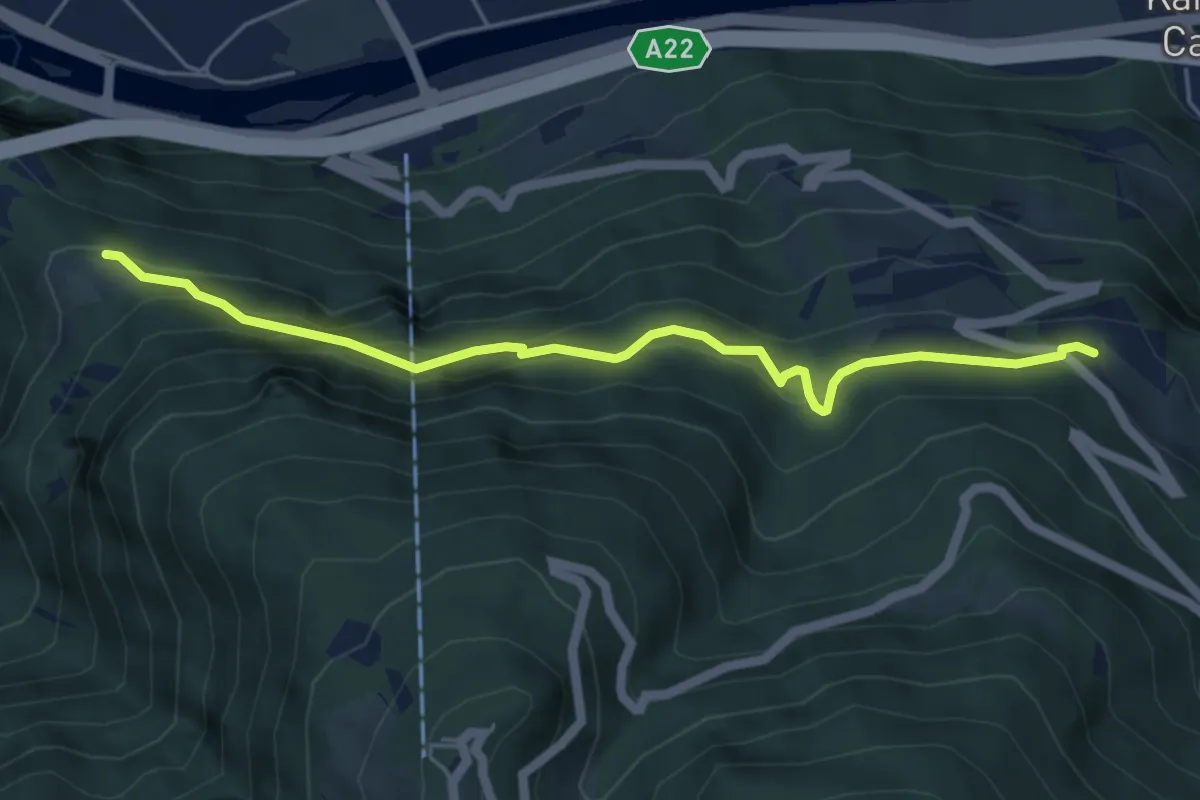
Medium · Trail
Schulsteig
5.2 km · ↑ 379 m · 2 h 3 min · 8 km away
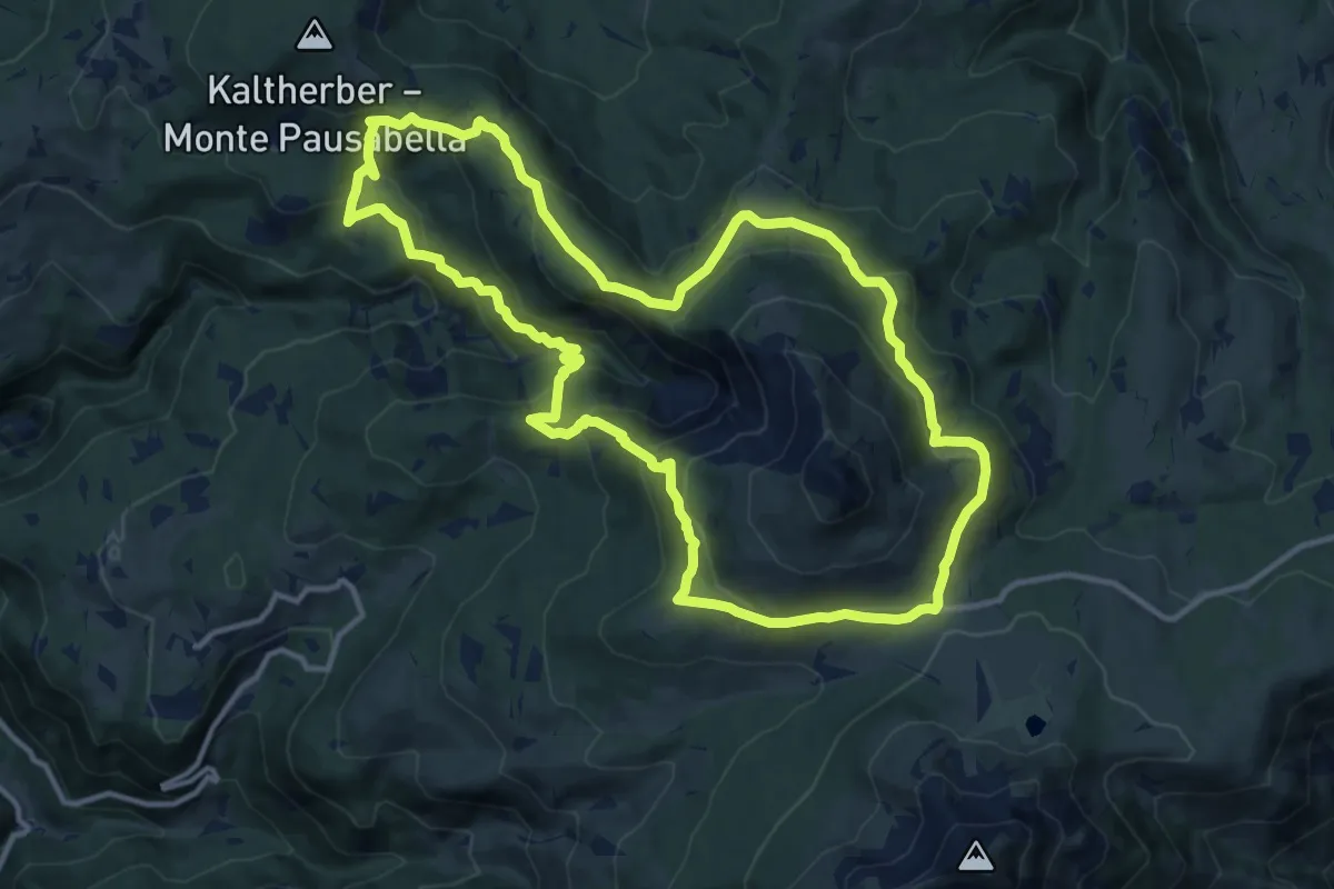
Medium · Trail
Bletterbachrunde
12.7 km · ↑ 623 m · 4 h 31 min · 8 km away
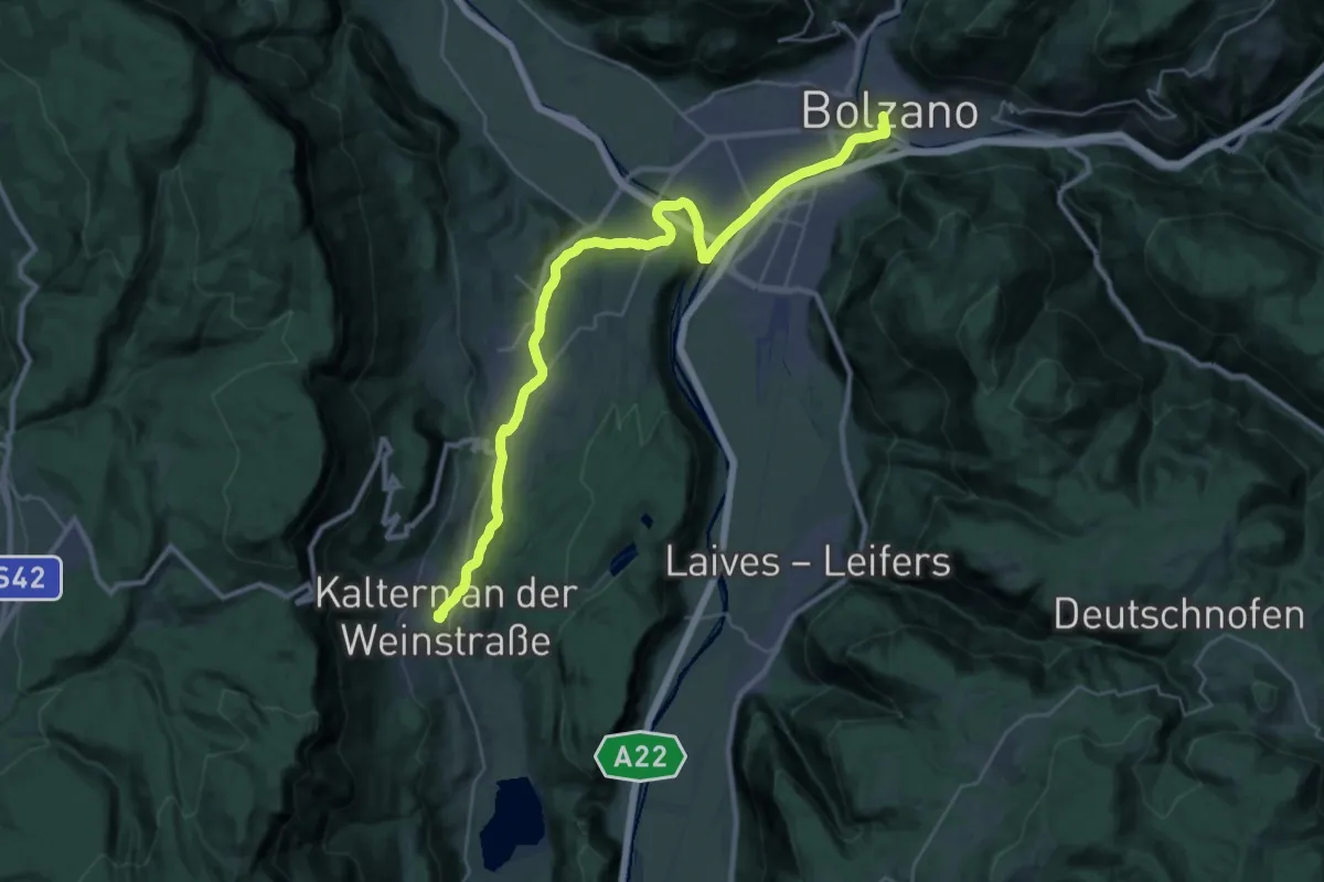
Medium · Trail
Cammino del beato Enrico - Tappa 1
16.9 km · ↑ 254 m · 4 h 42 min · 8 km away
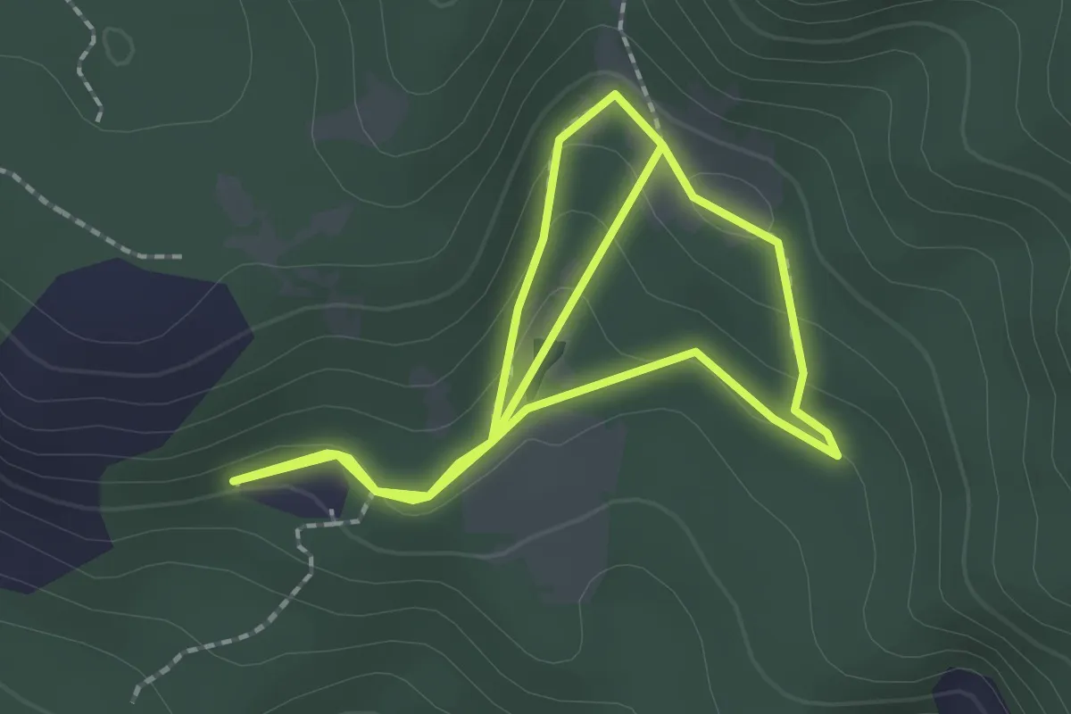
Easy · Trail
Waldlehrpfad (Bletterbach) - Il bosco
1.9 km · ↑ 73 m · 37 min · 8 km away
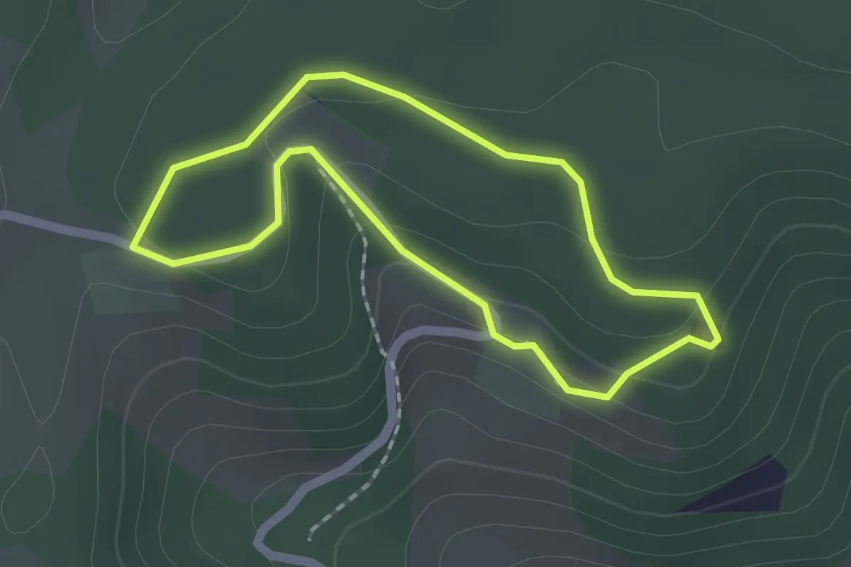
Easy · Trail
St. Agatha Rundweg
1.5 km · ↑ 44 m · 28 min · 8 km away
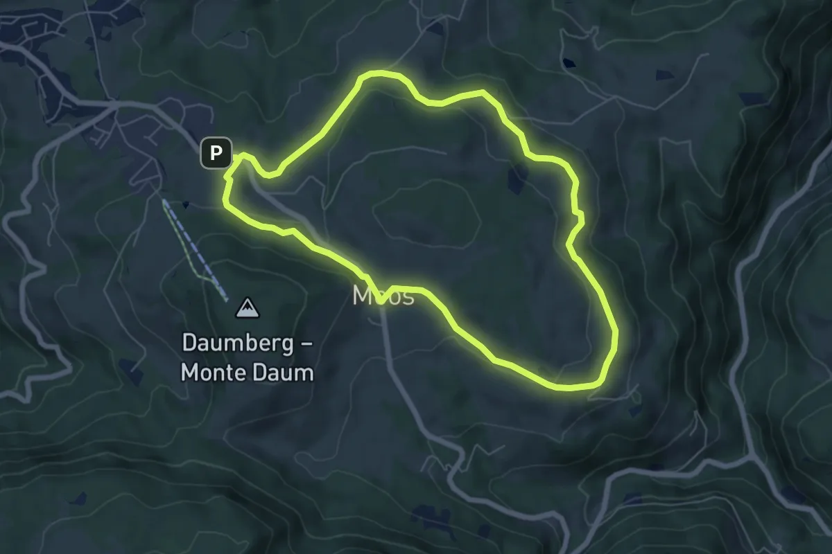
Easy · Trail
Panoramaweg
6.1 km · ↑ 109 m · 1 h 45 min · 8 km away
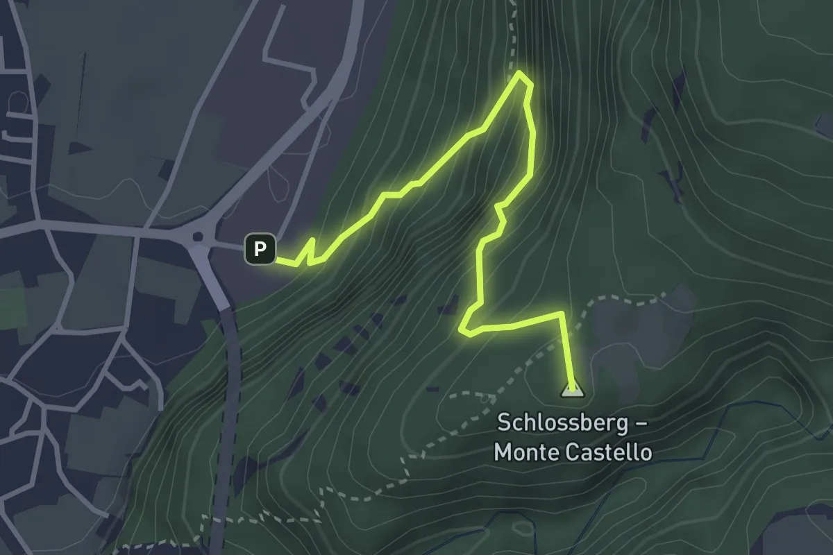
Medium · Summit
Lahnweg
3.3 km · ↑ 469 m · 1 h 47 min · 9 km away
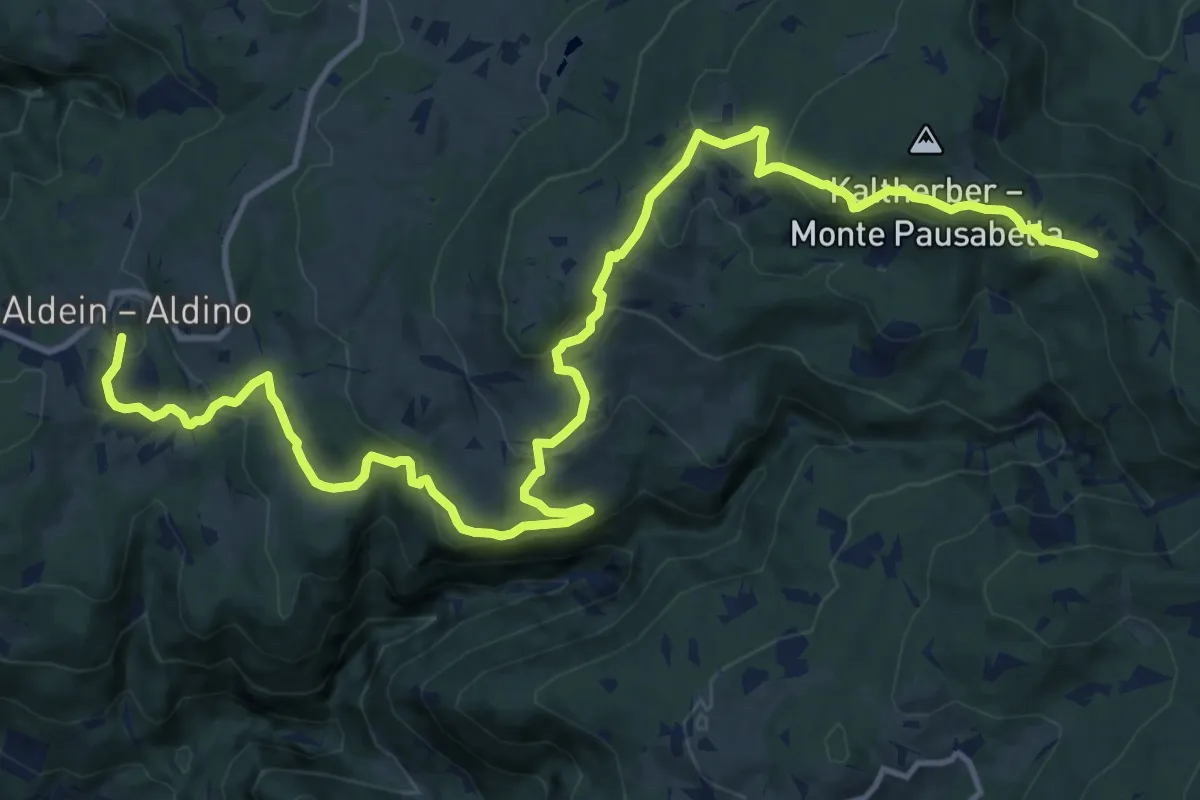
Medium · Trail
Schwarz-Weiss-Weg/Cammino/Trail weiß a
17.8 km · ↑ 736 m · 5 h 48 min · 9 km away
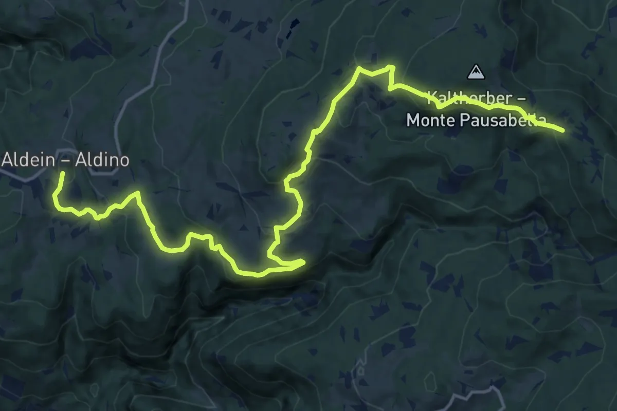
Medium · Trail
Schwarz-Weiss-Weg/Cammino/Trail schwarz a
17.8 km · ↑ 736 m · 5 h 48 min · 9 km away
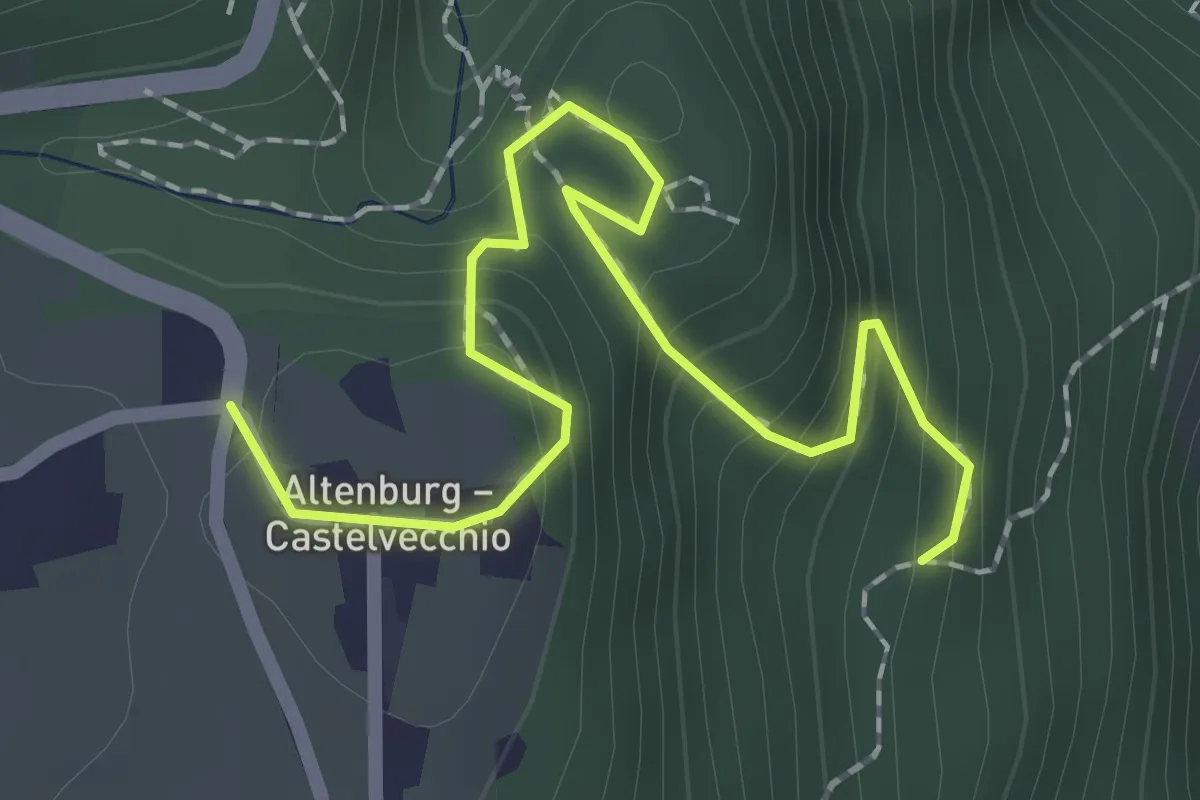
Medium · Trail
Percorso 14 – Castelvecchio - Altenburg
2.2 km · ↑ 196 m · 57 min · 9 km away
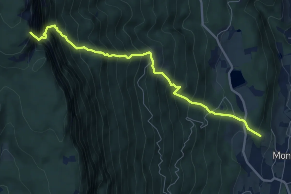
Expert · Summit
Kematscharte – St. Pauls
6.6 km · ↑ 1183 m · 4 h 8 min · 9 km away
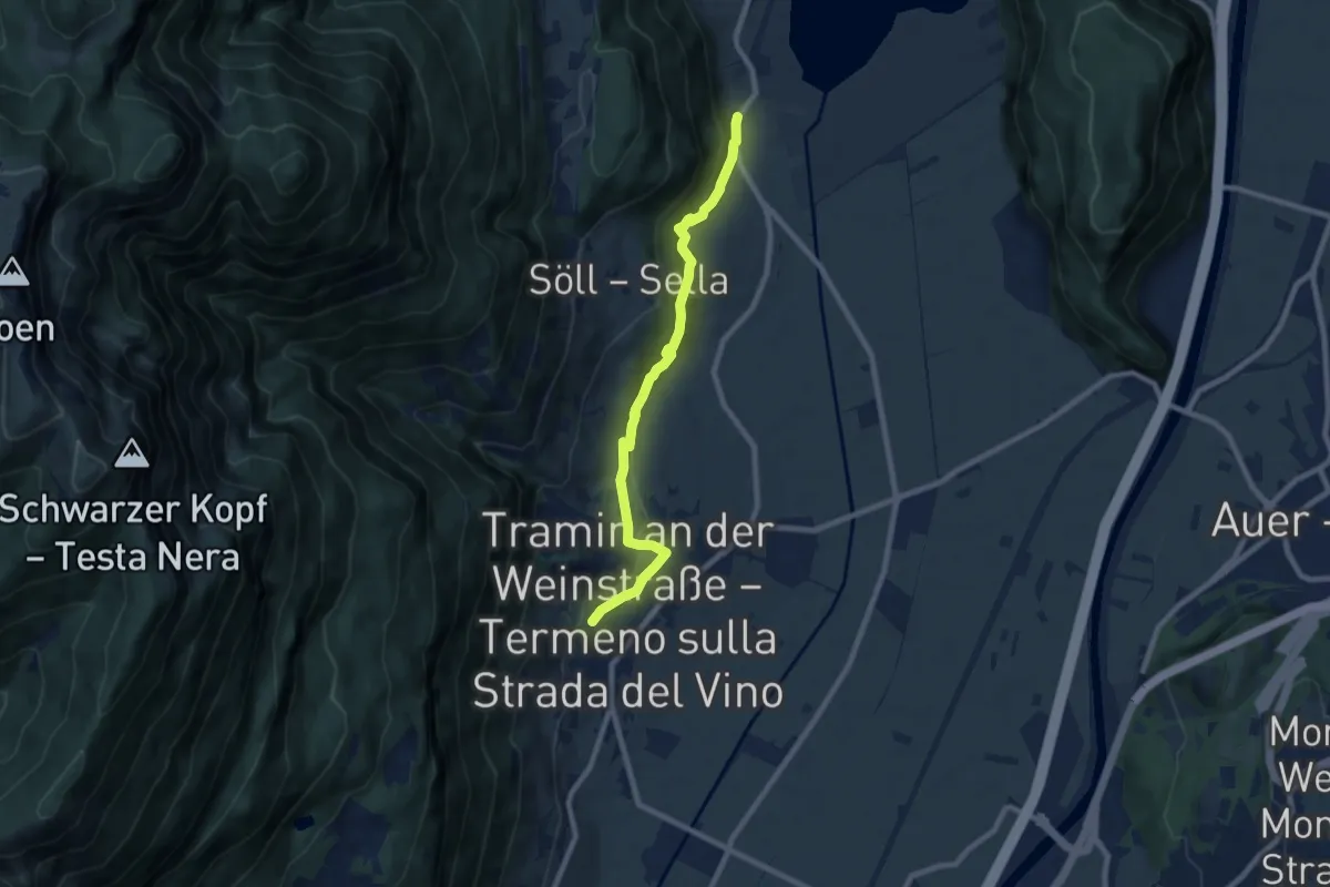
Medium · Trail
Kaltererseeweg - Sentiero del Lago di Caldaro
8.1 km · ↑ 325 m · 2 h 37 min · 9 km away
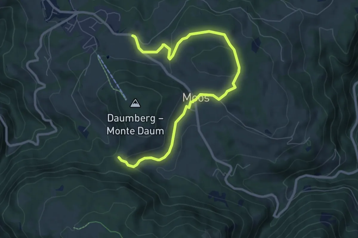
Medium · Trail
St. Helena Weg
8.2 km · ↑ 175 m · 2 h 19 min · 9 km away
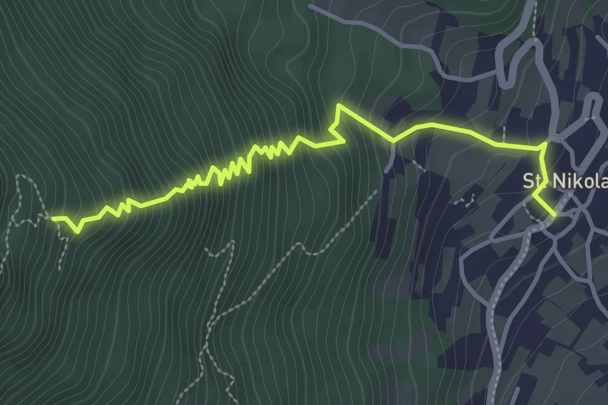
Medium · Trail
Telefonsteig
3.6 km · ↑ 446 m · 1 h 49 min · 9 km away
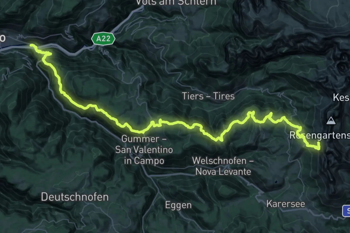
Demanding · Cabin
Kardaun – Kölner Hütte
28.0 km · ↑ 2441 m · 11 h 16 min · 9 km away
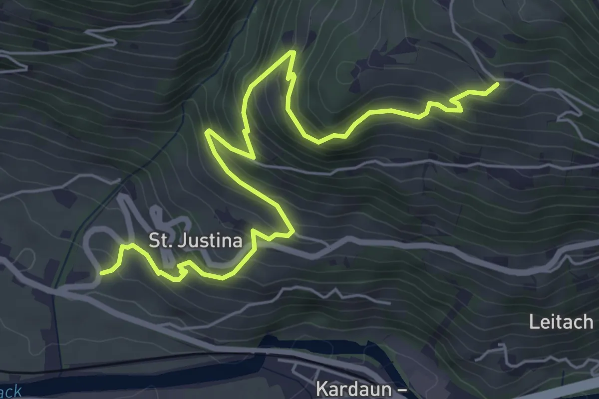
Medium · Trail
bei Signat (Ritten) – Ansitz Waldgries (bei Bozen)
6.7 km · ↑ 512 m · 2 h 42 min · 9 km away
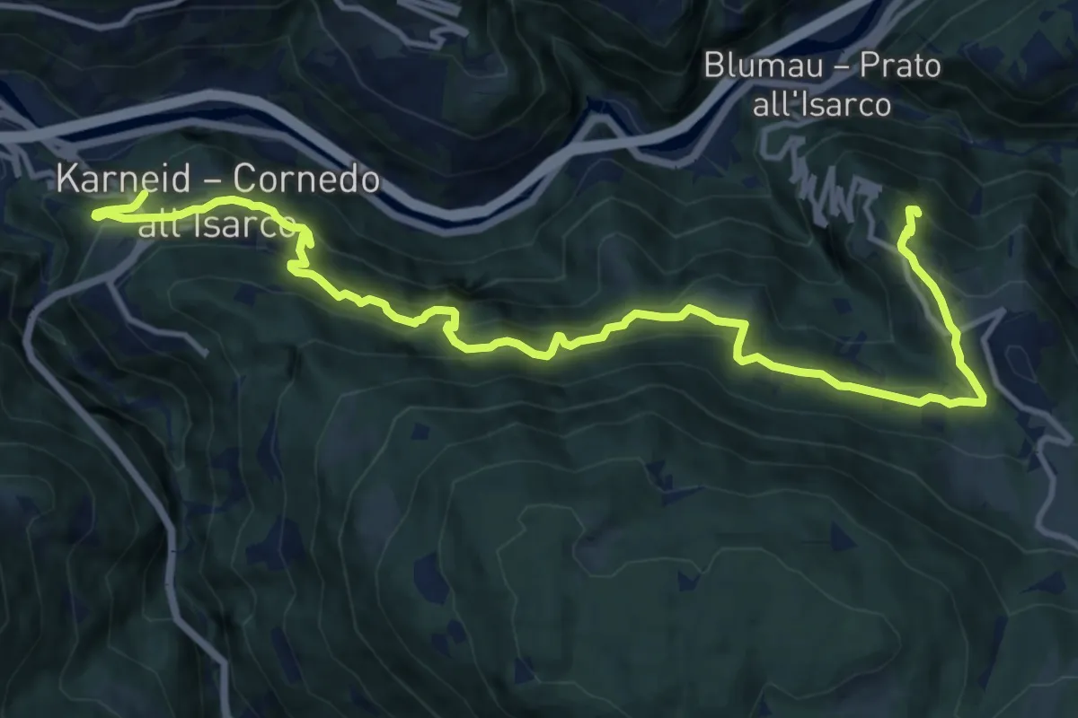
Demanding · Trail
Rittersteig
14.5 km · ↑ 1184 m · 6 h · 9 km away
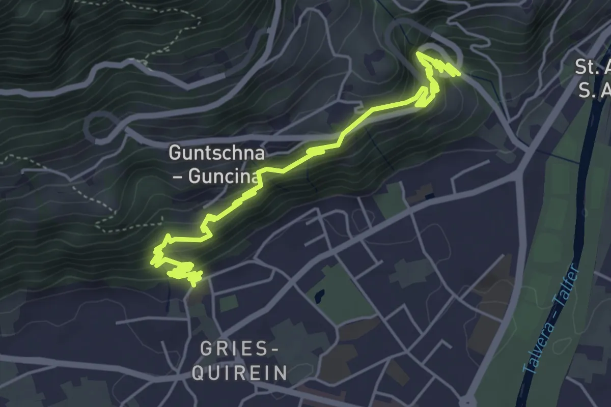
Medium · Trail
Passeggiata del Guncina - Guntschnapromenade
6.5 km · ↑ 448 m · 2 h 30 min · 9 km away
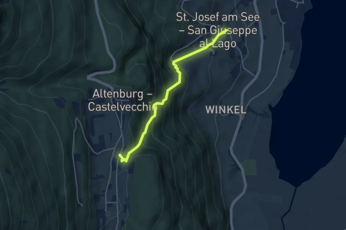
Medium · Trail
Nussentalweg
3.5 km · ↑ 339 m · 1 h 34 min · 9 km away
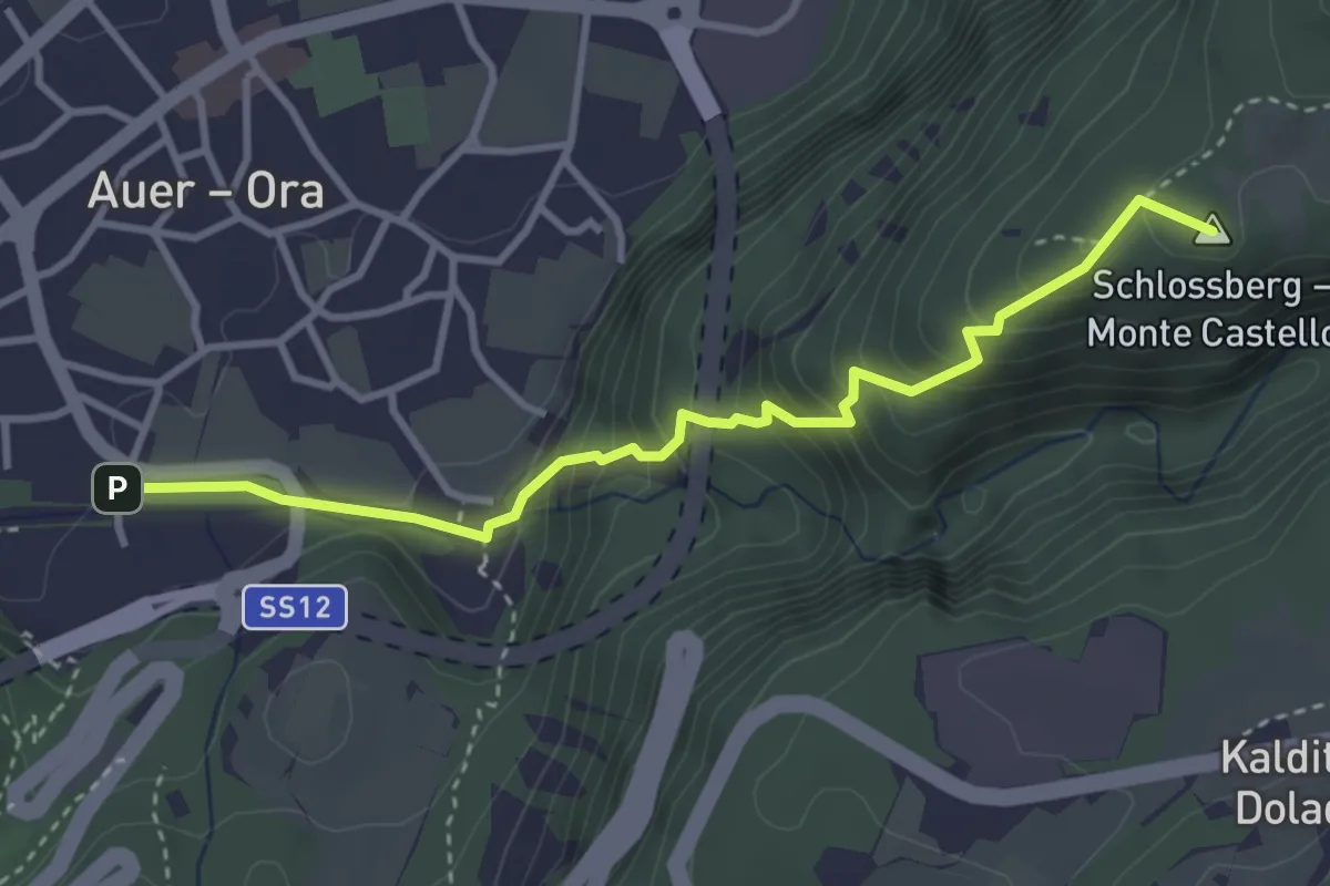
Medium · Summit
Katzenleiter
3.6 km · ↑ 388 m · 1 h 41 min · 9 km away
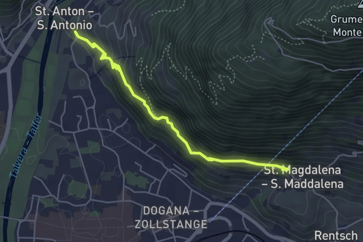
Easy · Trail
Passeggiata S. Osvaldo - Oswaldpromenade
4.7 km · ↑ 278 m · 1 h 43 min · 9 km away
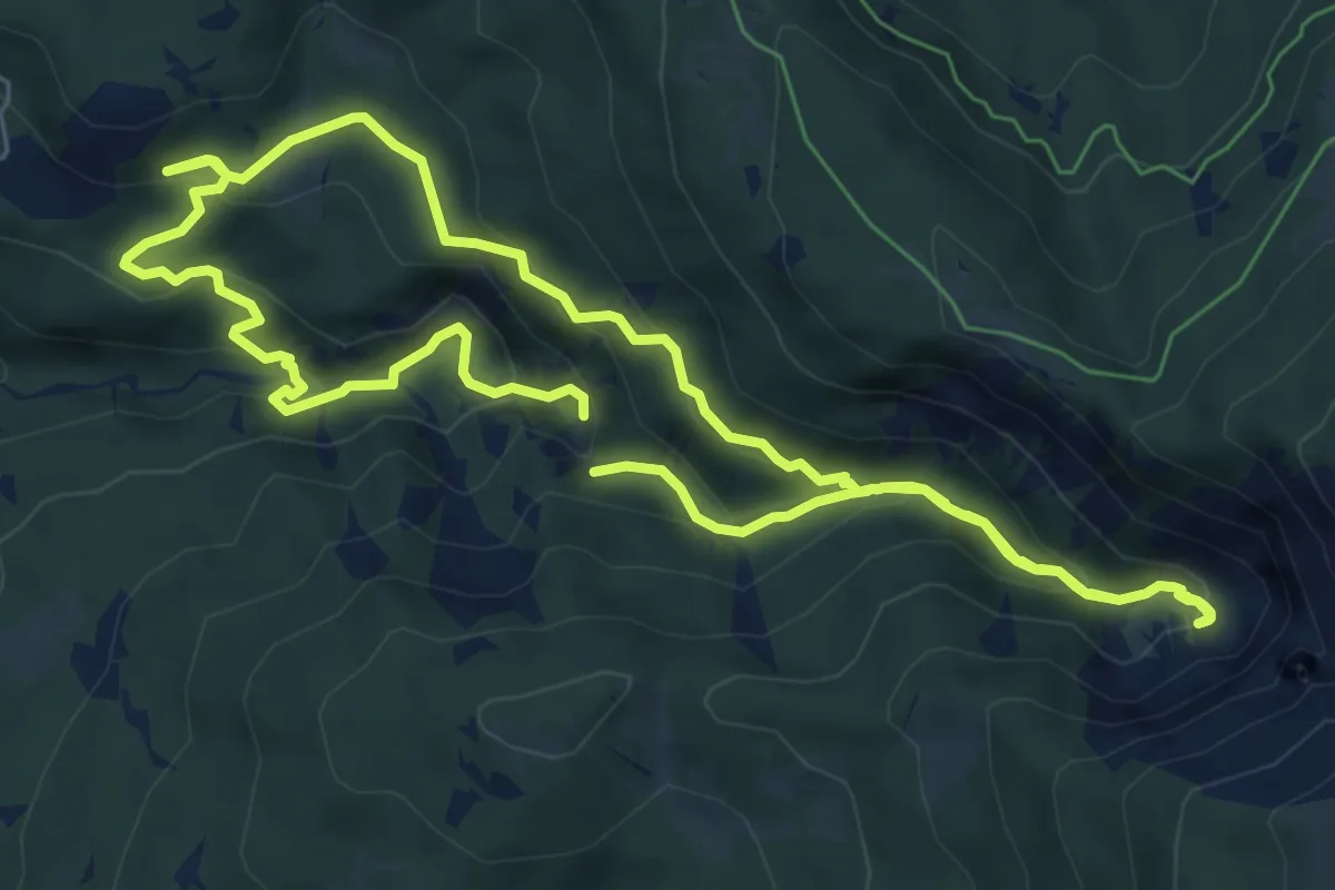
Medium · Trail
GEOWeg - Sentiero GEOlogico
6.4 km · ↑ 331 m · 2 h 20 min · 9 km away