Trails near Lavagna
175 hikes starting within 15 km, nearest first.
Nearest first, page 4 of 4
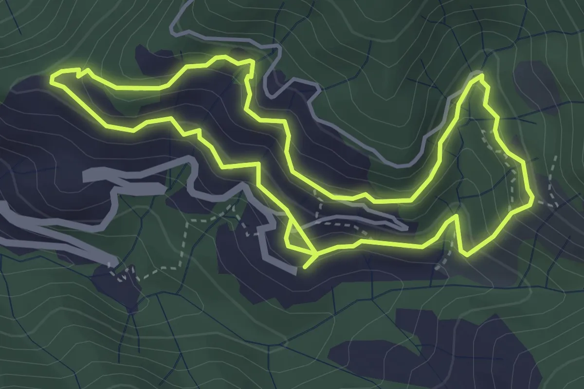
Medium · Trail
Anello di Borzone
4.1 km · ↑ 310 m · 1 h 41 min · 14 km away
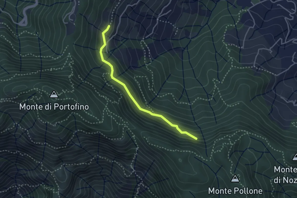
Medium · Trail
Costa Secca - Dolcina Alta
3.1 km · ↑ 184 m · 1 h 8 min · 14 km away
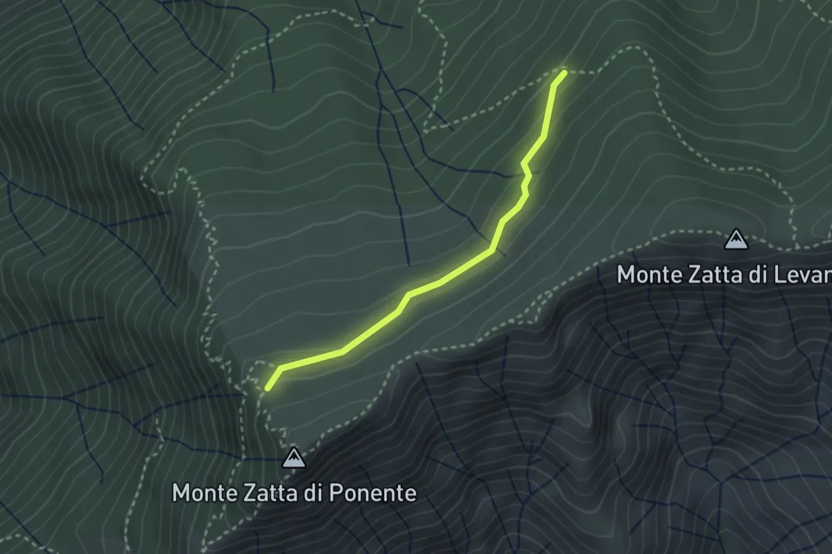
Medium · Trail
Sentiero Natura - Variante Anello delle faggete del Monte Zatta
2.6 km · ↑ 94 m · 49 min · 14 km away
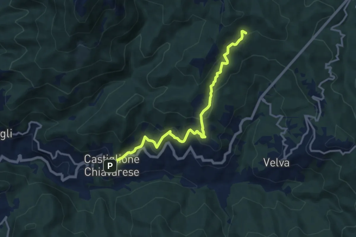
Medium · Trail
Castiglione Chiavarese - AV5T (Santuario di Velva)
9.0 km · ↑ 535 m · 3 h 17 min · 14 km away
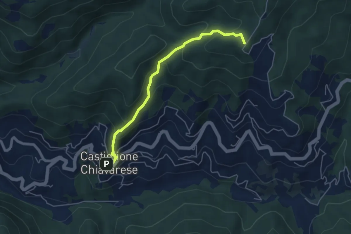
Medium · Summit
Castiglione Chiavarese - Monte Bastia
4.3 km · ↑ 322 m · 1 h 43 min · 14 km away
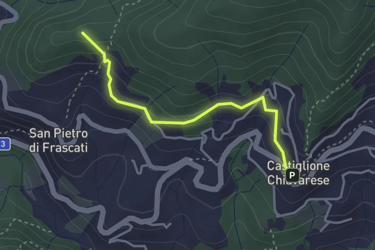
Easy · Summit
San Pietro di Frascati - Castiglione Chiavarese
2.8 km · ↑ 217 m · 1 h 8 min · 14 km away
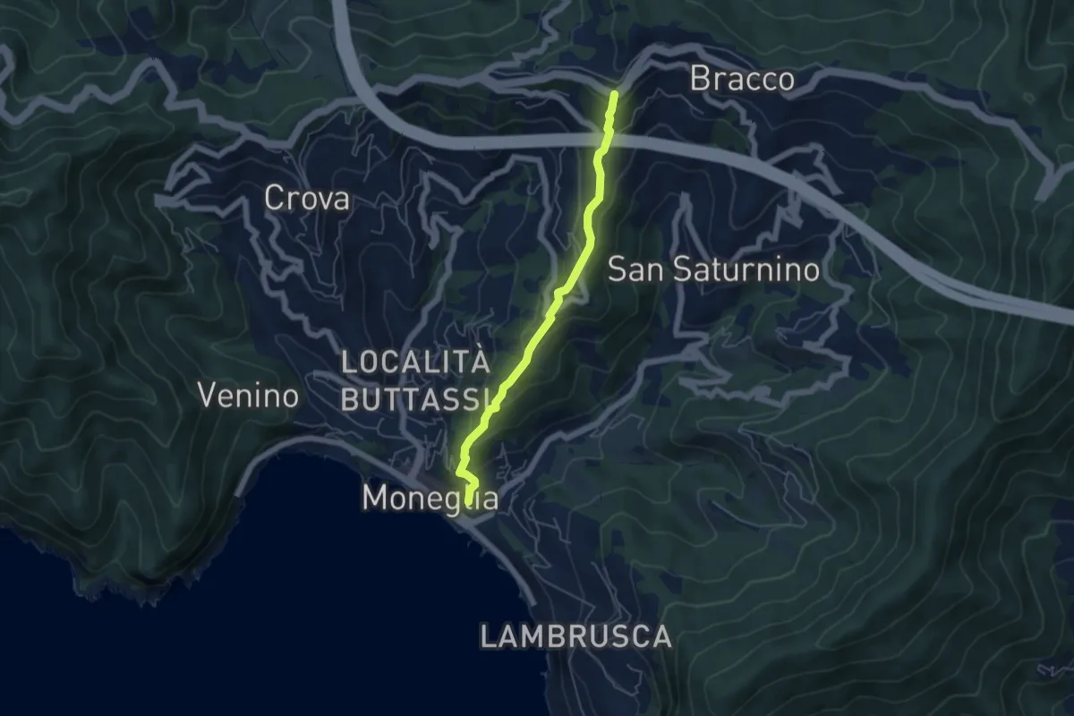
Medium · Trail
Moneglia - Casale - Bracco
4.9 km · ↑ 350 m · 1 h 55 min · 14 km away
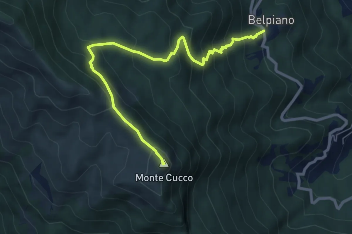
Medium · Summit
Belpiano – Monte Cucco
6.3 km · ↑ 521 m · 2 h 36 min · 14 km away
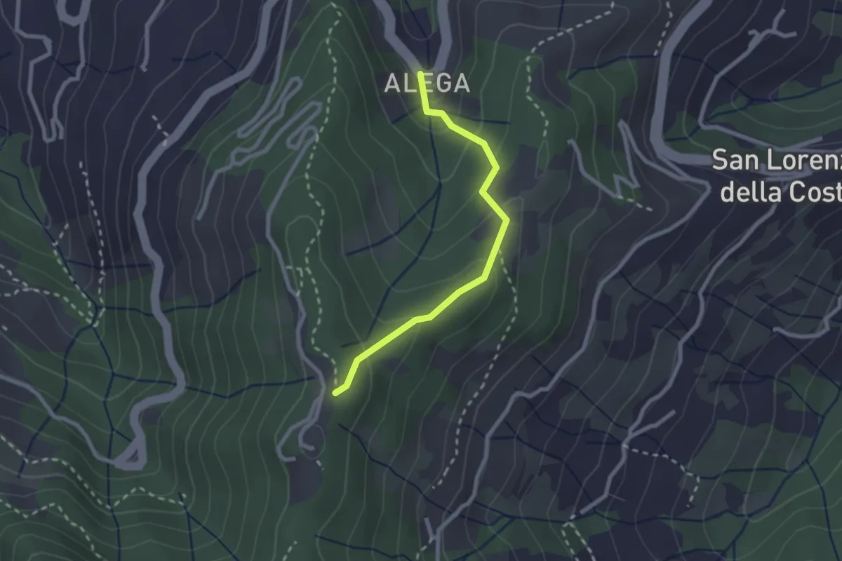
Medium · Trail
Località Alega (Parcheggio Bus/Auto Ruta) - Portofino Vetta
2.3 km · ↑ 149 m · 51 min · 14 km away
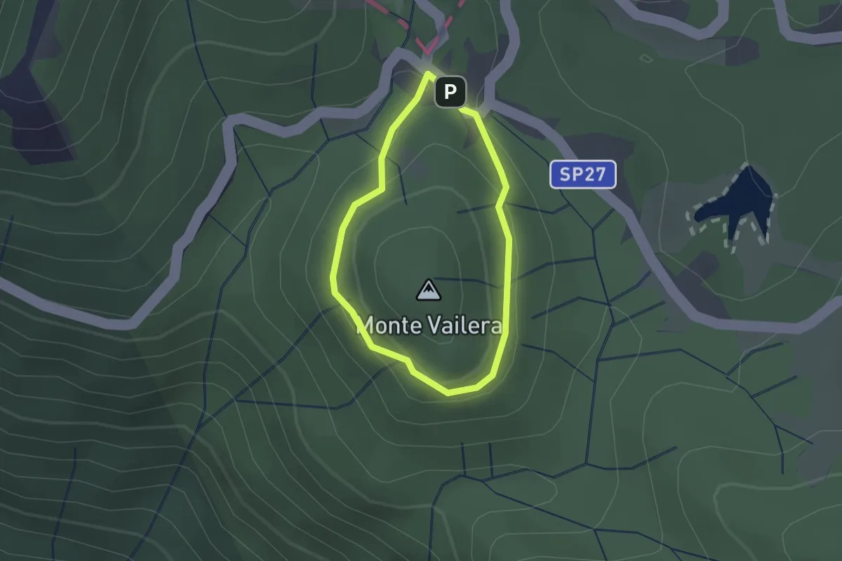
Easy · Summit
Anello Monte Vailera
1.3 km · ↑ 41 m · 25 min · 14 km away
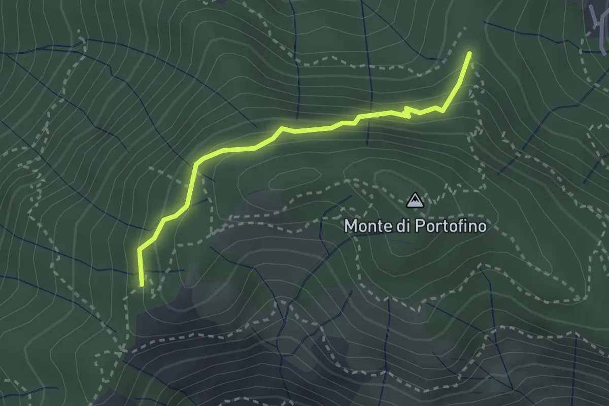
Easy · Trail
Sella Gaixella – bivio Sequoie
2.5 km · ↑ 220 m · 1 h 4 min · 14 km away
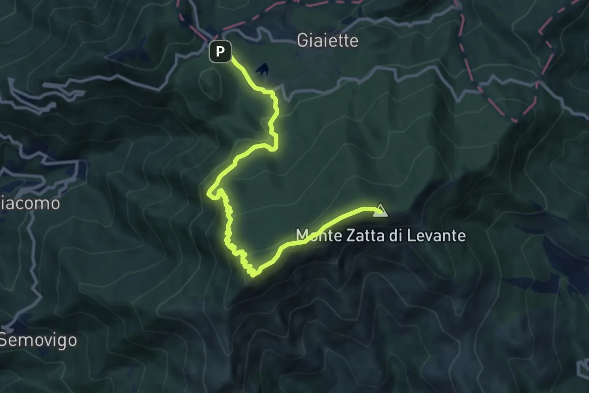
Medium · Summit
Passo del Bocco - Colla Craiolo
10.5 km · ↑ 594 m · 3 h 45 min · 14 km away
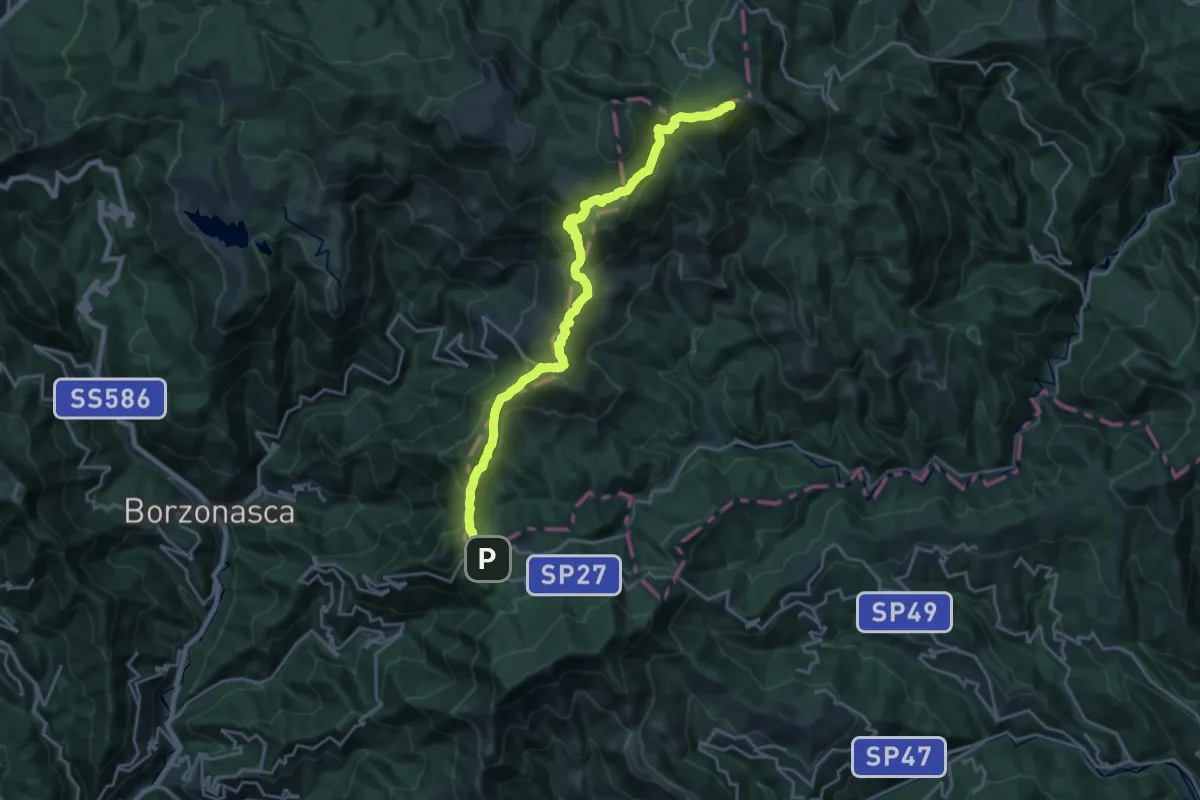
Demanding · Summit
Passo del Bocco - Passo dell'Incisa - Monte Penna
22.4 km · ↑ 1193 m · 7 h 53 min · 14 km away
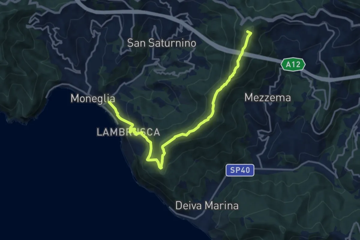
Medium · Summit
Moneglia - Baracchino
12.5 km · ↑ 752 m · 4 h 35 min · 14 km away
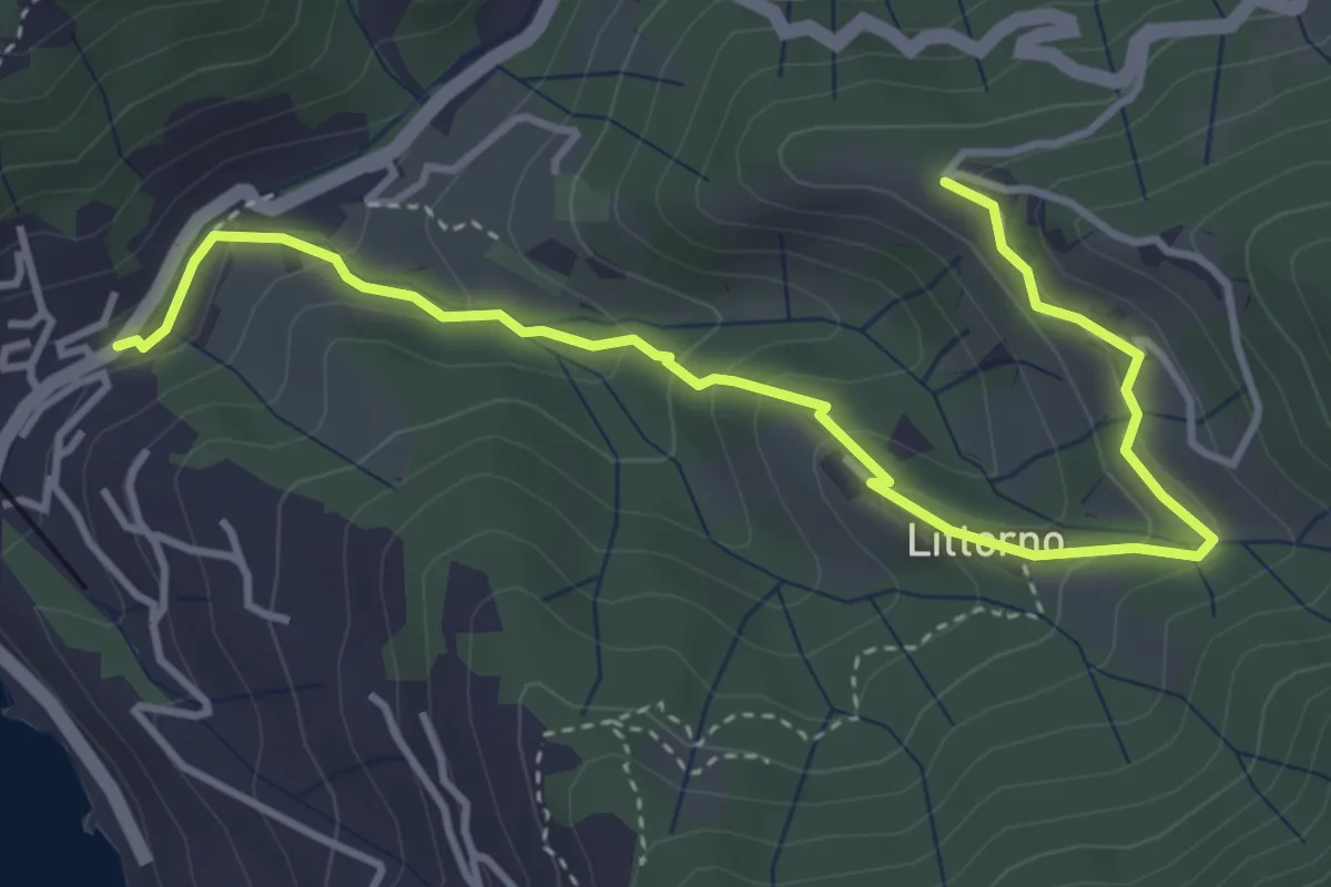
Easy · Trail
Moneglia - Littorno - Stozio
4.8 km · ↑ 255 m · 1 h 41 min · 14 km away
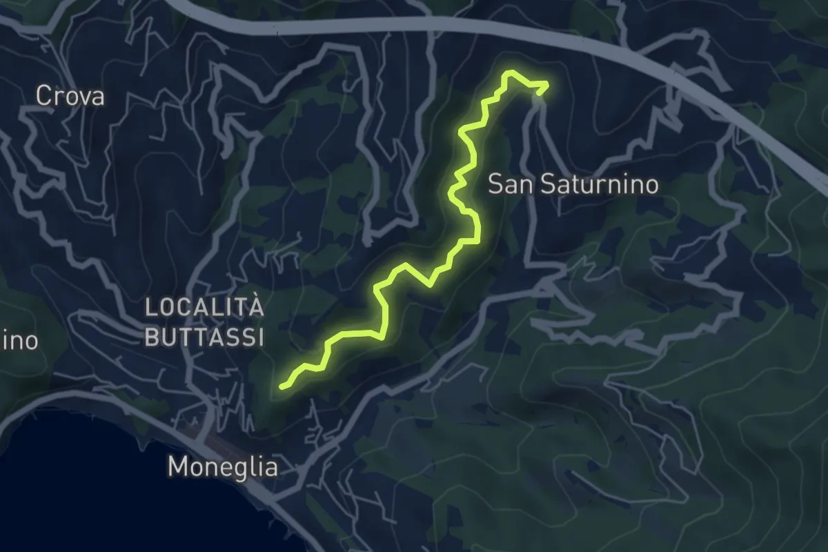
Medium · Trail
Figarolo - Curva della Lascia
5.1 km · ↑ 411 m · 2 h 5 min · 14 km away
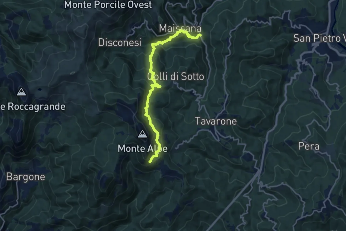
Demanding · Trail
Lungo Borsa - Maissana - Groppo Marzo - Casa Alpe - Bivio AV5T
12.8 km · ↑ 874 m · 4 h 55 min · 14 km away
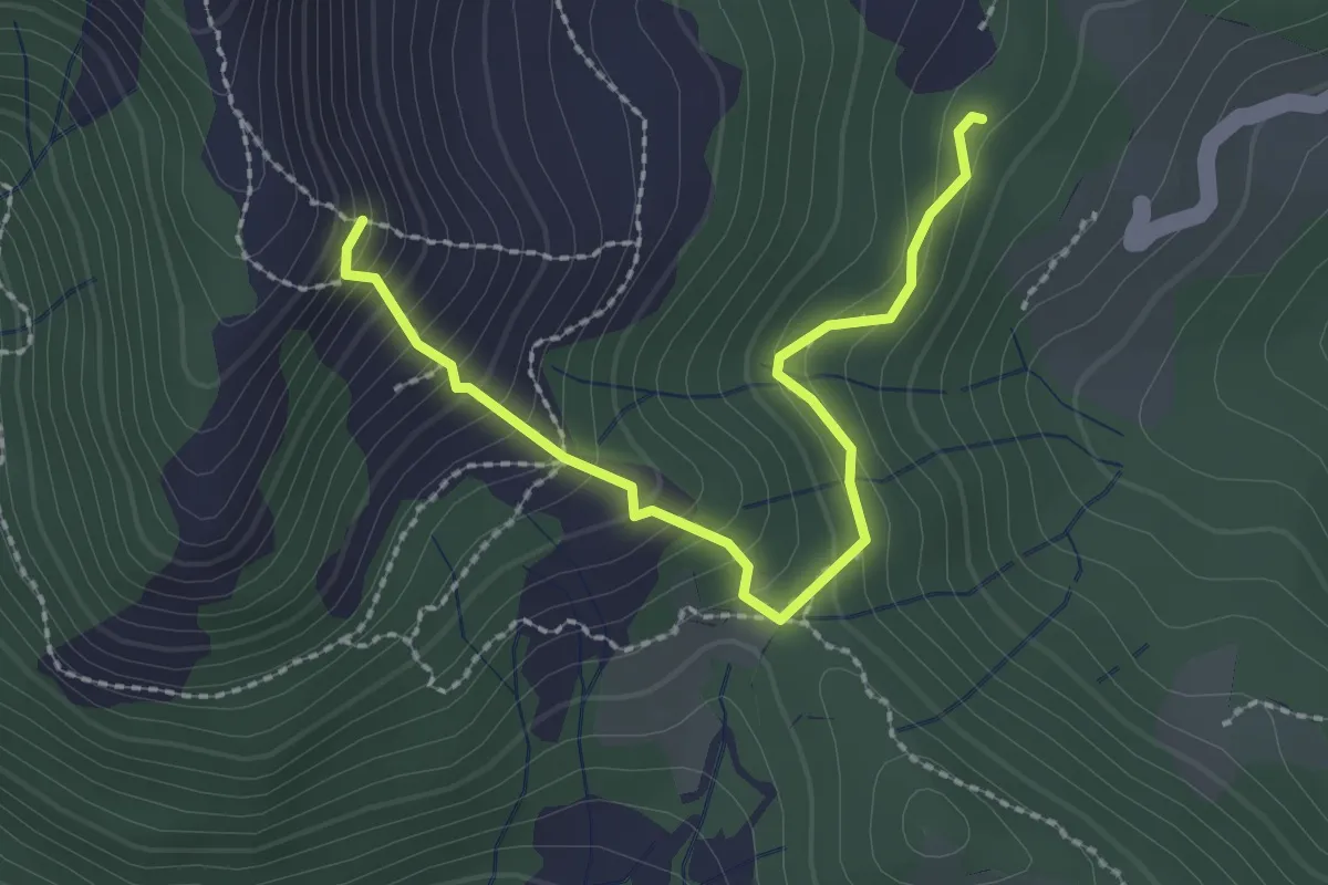
Medium · Trail
Giandriale - Passo Colello - Monte Alpe
2.6 km · ↑ 250 m · 1 h 9 min · 14 km away
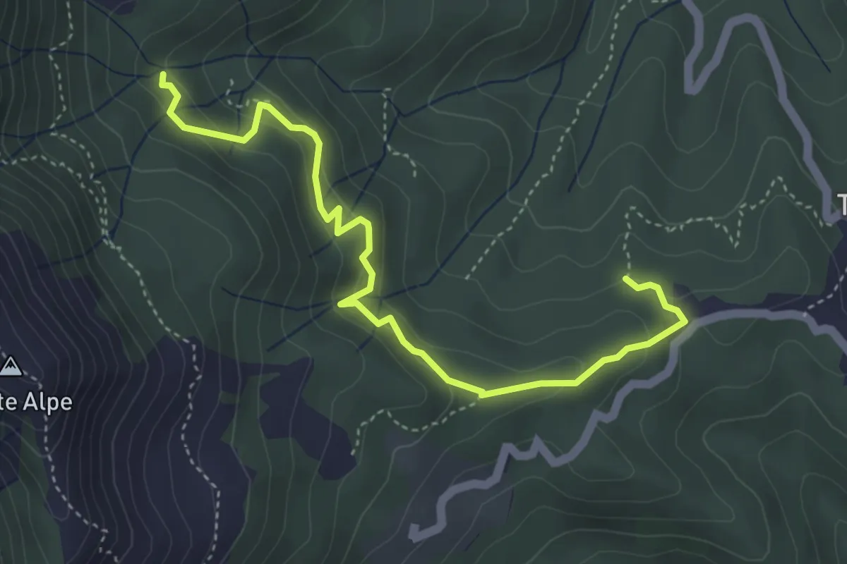
Medium · Trail
Case Borsare - Pian di Cappella
4.8 km · ↑ 291 m · 1 h 45 min · 14 km away
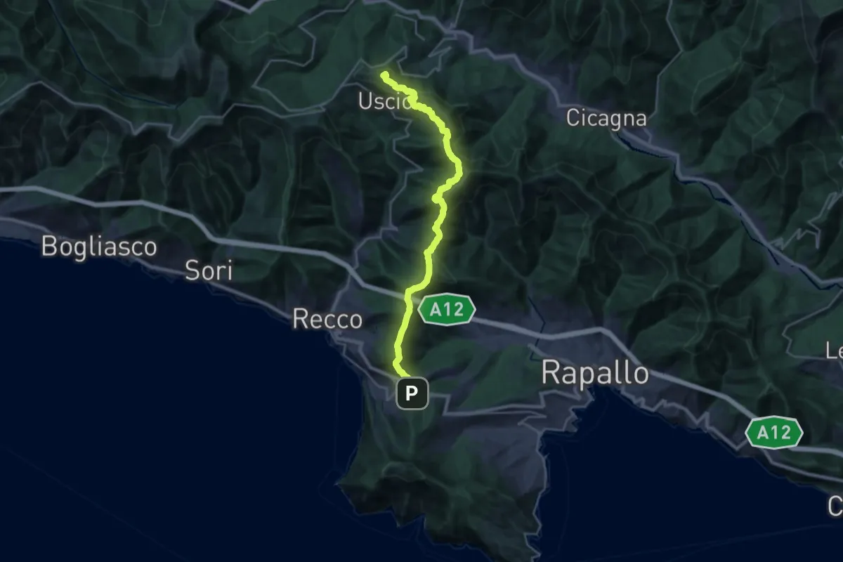
Demanding · Summit
Ruta – Colle Caprile
22.9 km · ↑ 1257 m · 8 h 8 min · 14 km away
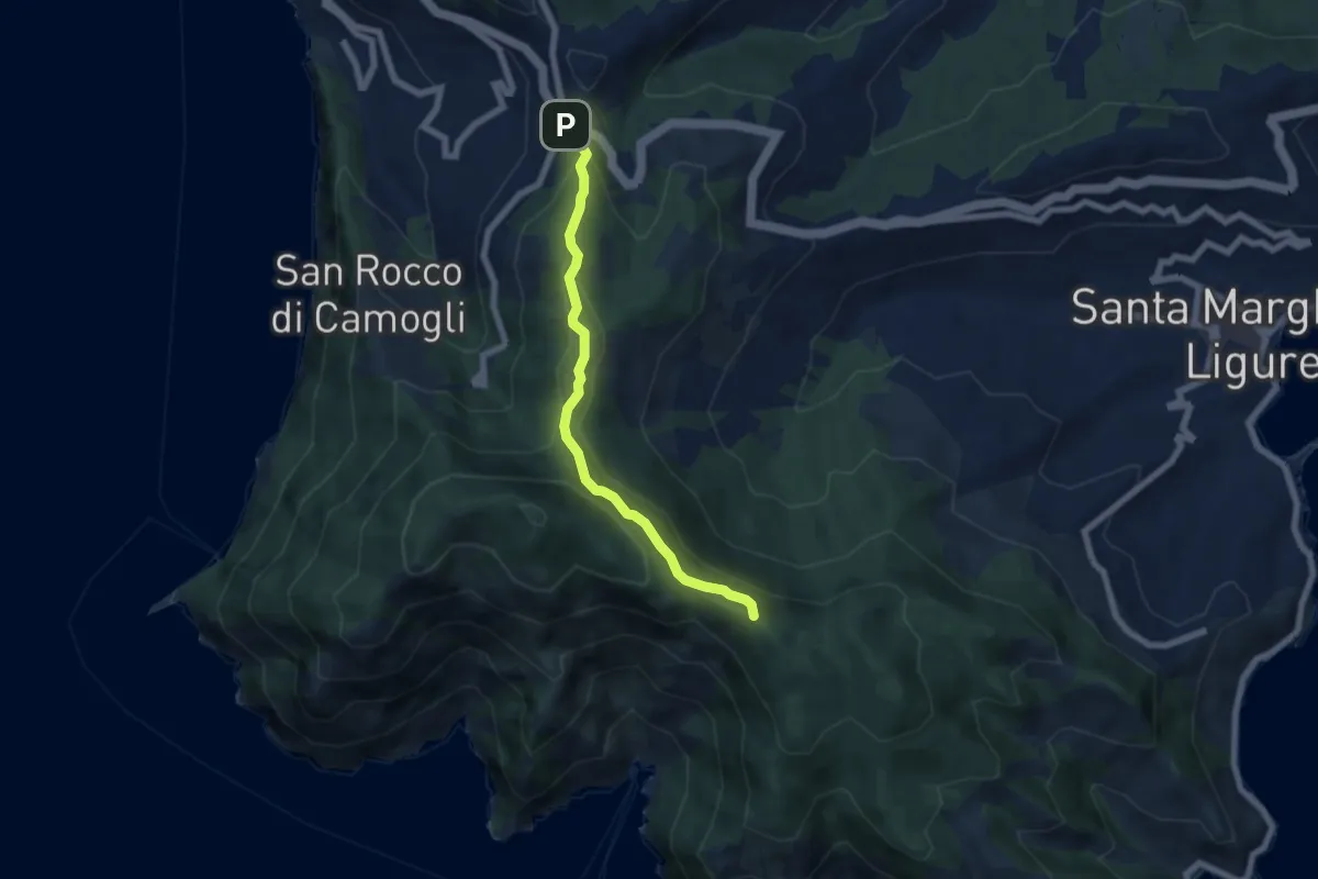
Easy · Summit
Ruta – Portofino
6.3 km · ↑ 291 m · 2 h 7 min · 14 km away
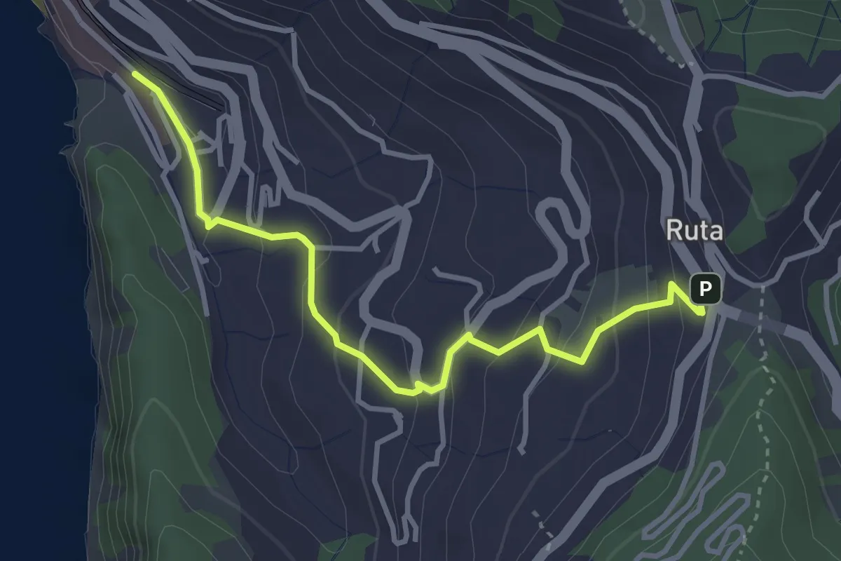
Easy · Trail
Camogli (FS) - Ruta
3.6 km · ↑ 220 m · 1 h 20 min · 15 km away
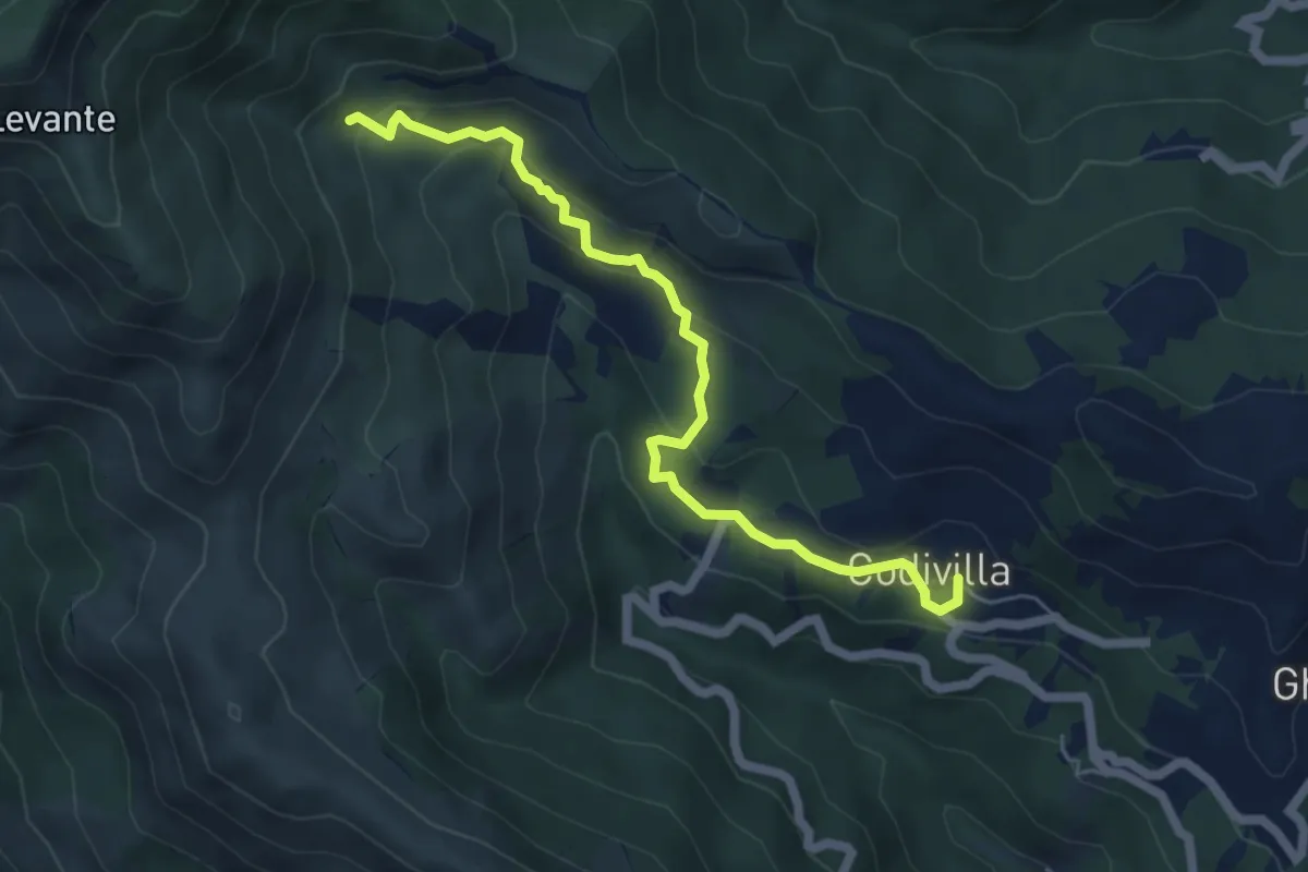
Medium · Trail
Codivilla – Pinello
5.9 km · ↑ 351 m · 2 h 10 min · 15 km away
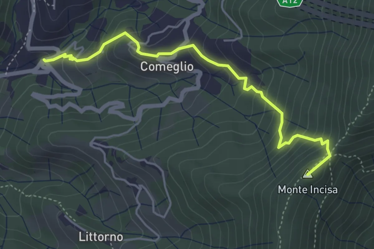
Medium · Summit
Moneglia – Mezzema
4.6 km · ↑ 416 m · 2 h · 15 km away
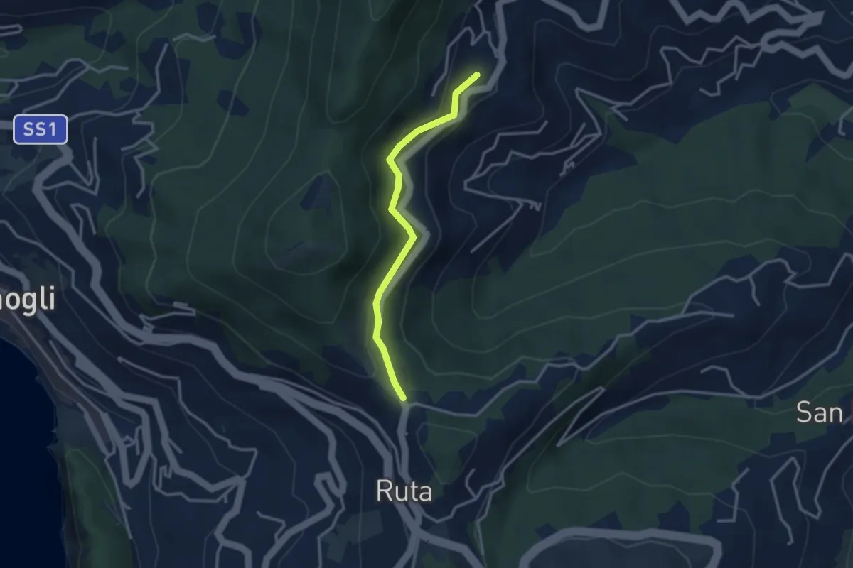
Easy · Trail
Ruta - San Martino di Noceto
2.7 km · ↑ 109 m · 53 min · 15 km away
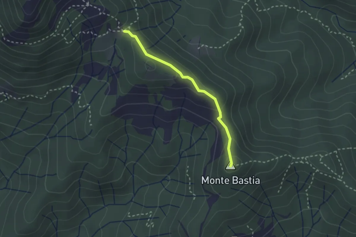
Medium · Summit
Monte Bastia - Monte Colello
2.2 km · ↑ 105 m · 45 min · 15 km away
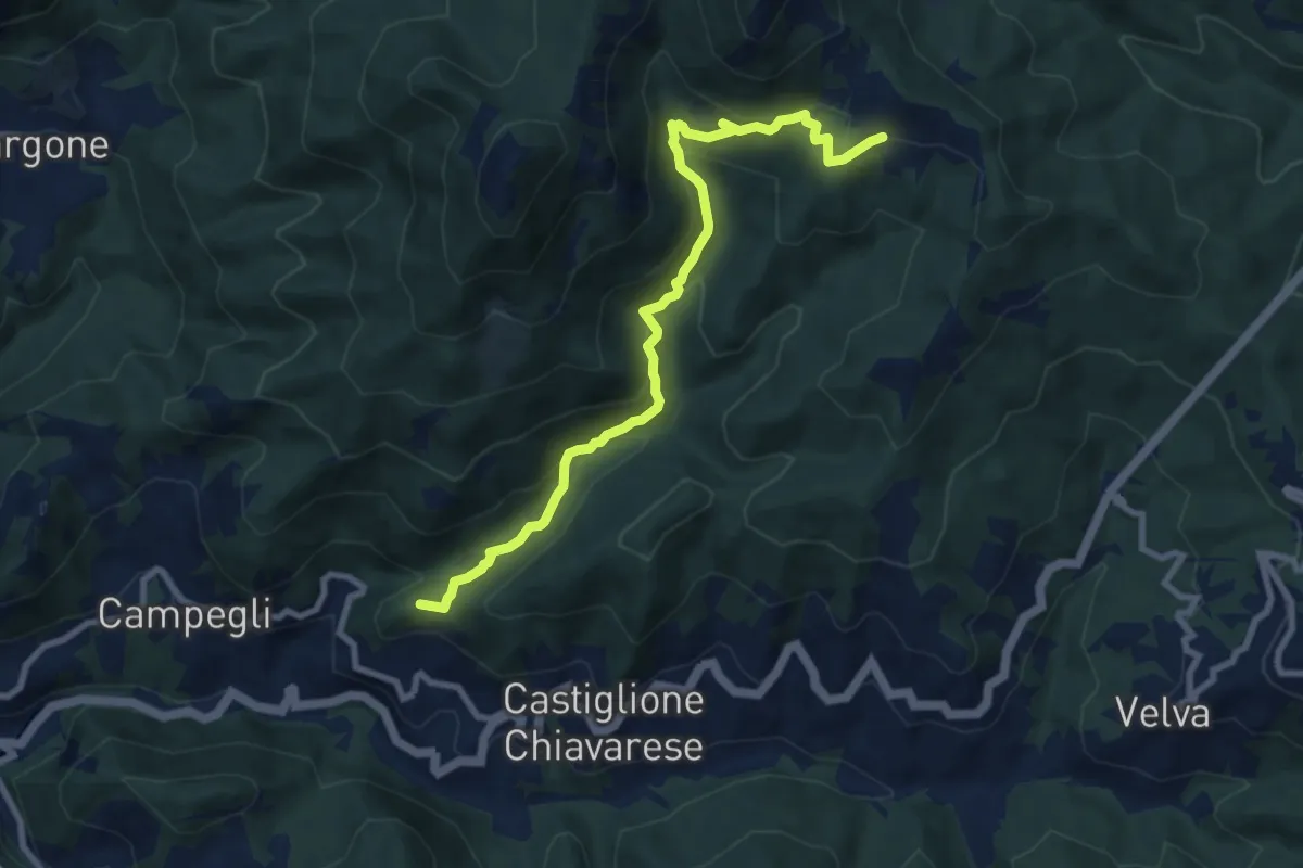
Medium · Summit
Casali - Prato
9.4 km · ↑ 502 m · 3 h 18 min · 15 km away
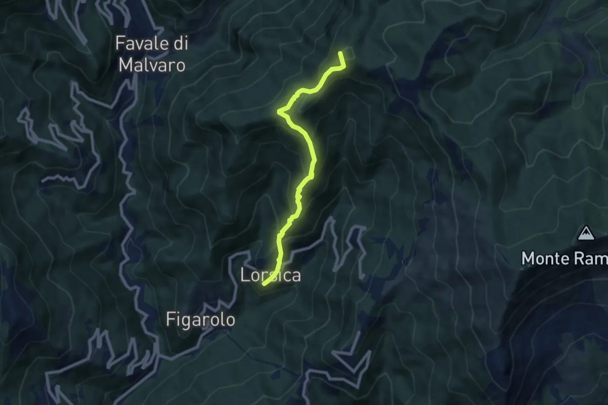
Medium · Summit
Lorsica - Passo Ventarola
6.5 km · ↑ 649 m · 2 h 57 min · 15 km away
Medium · Summit
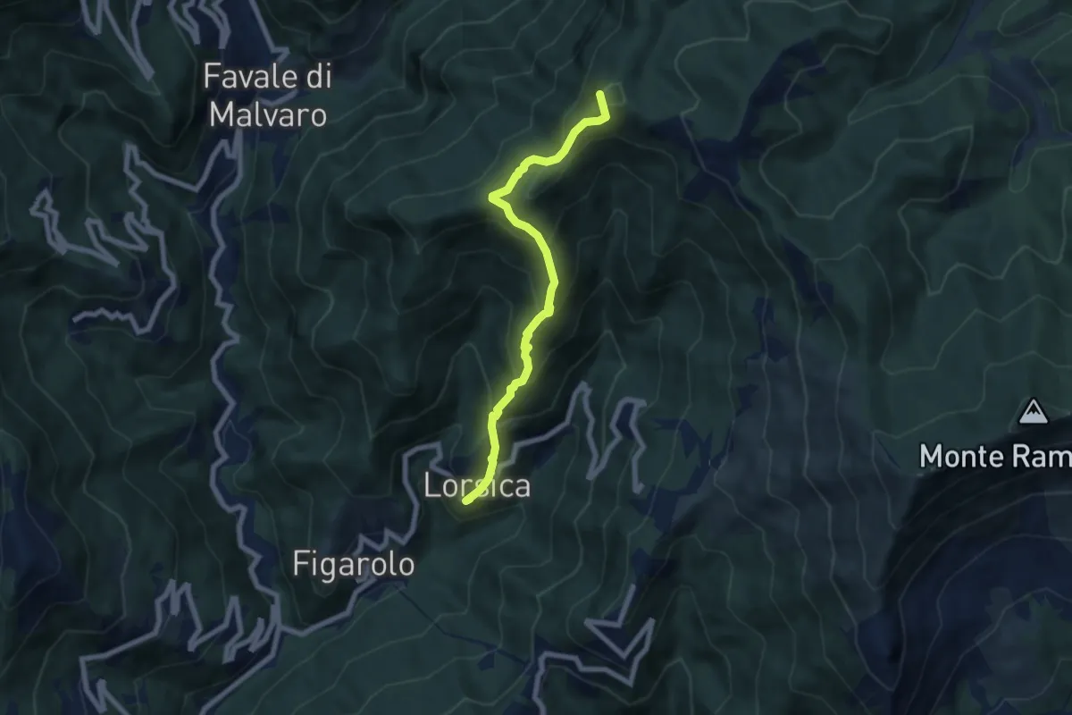
Lorsica – Passo Ventarola Nord
6.6 km · ↑ 656 m · 2 h 59 min · 15 km away
Demanding · Summit
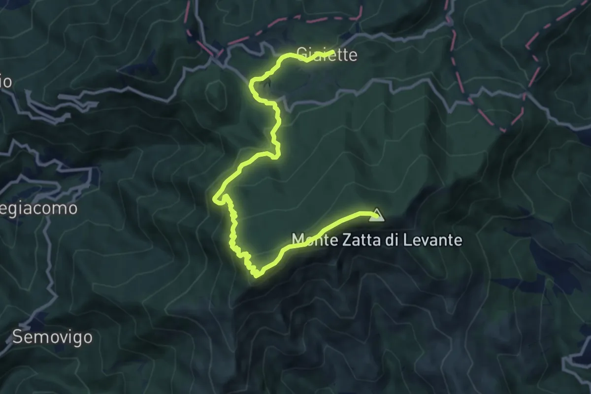
Sentiero dei Celti e dei Liguri - tappa 9
11.9 km · ↑ 622 m · 4 h 9 min · 15 km away
Medium · Trail
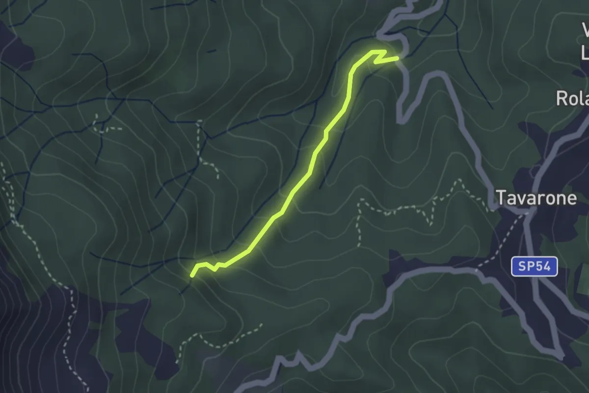
Torrente Orbora - Casa Alpe
2.6 km · ↑ 181 m · 1 h · 15 km away