Trails near Lecco
391 hikes starting within 15 km, nearest first.
Nearest first, page 1 of 9
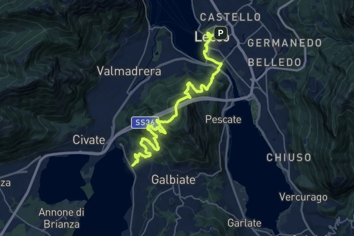
Demanding · Trail
Sentiero Pedemonte - Tappa 4
20.8 km · ↑ 1302 m · 7 h 43 min · under 1 km away
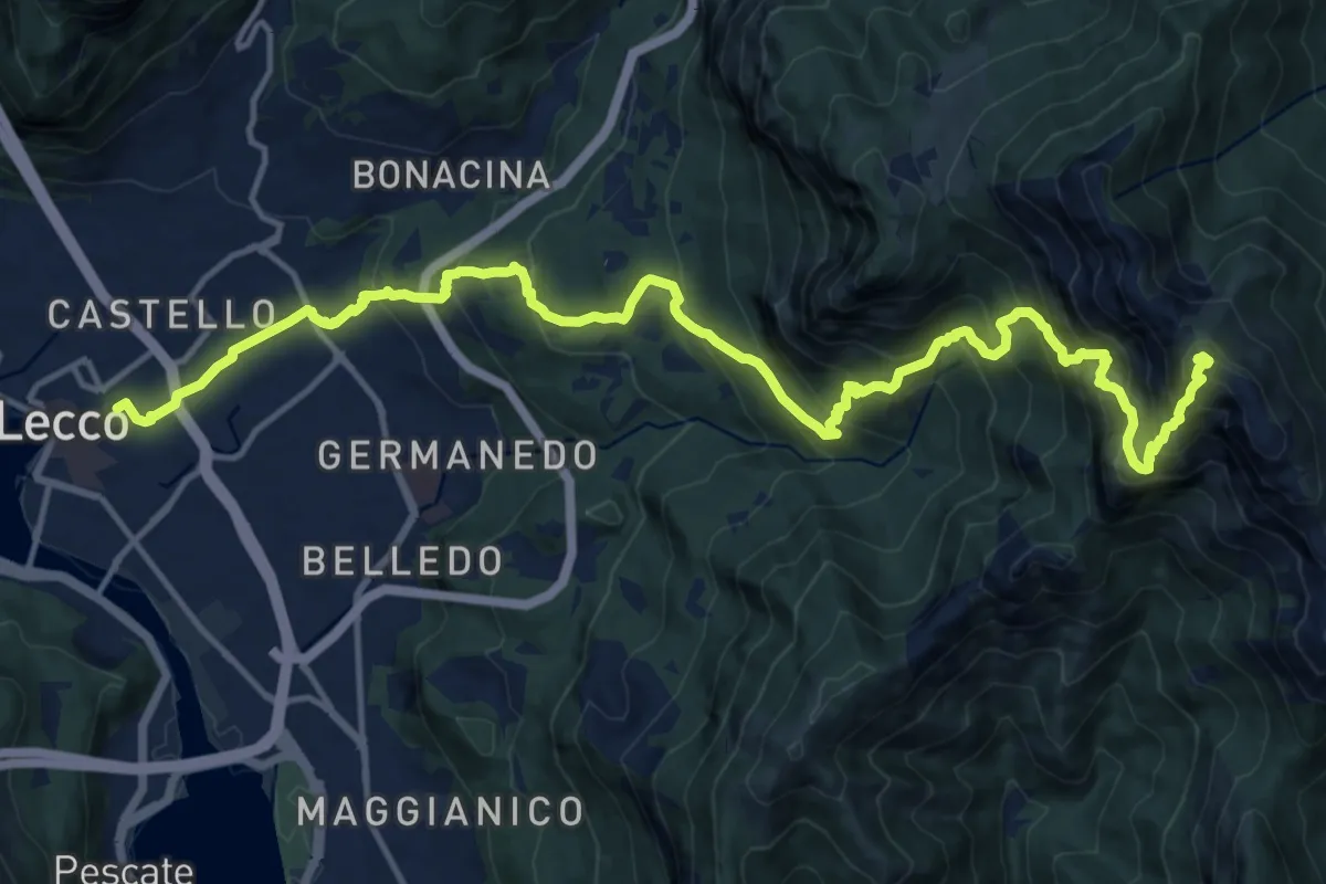
Demanding · Summit
Lecco (Stazione) – Monte Resegone
18.8 km · ↑ 1725 m · 8 h 10 min · under 1 km away
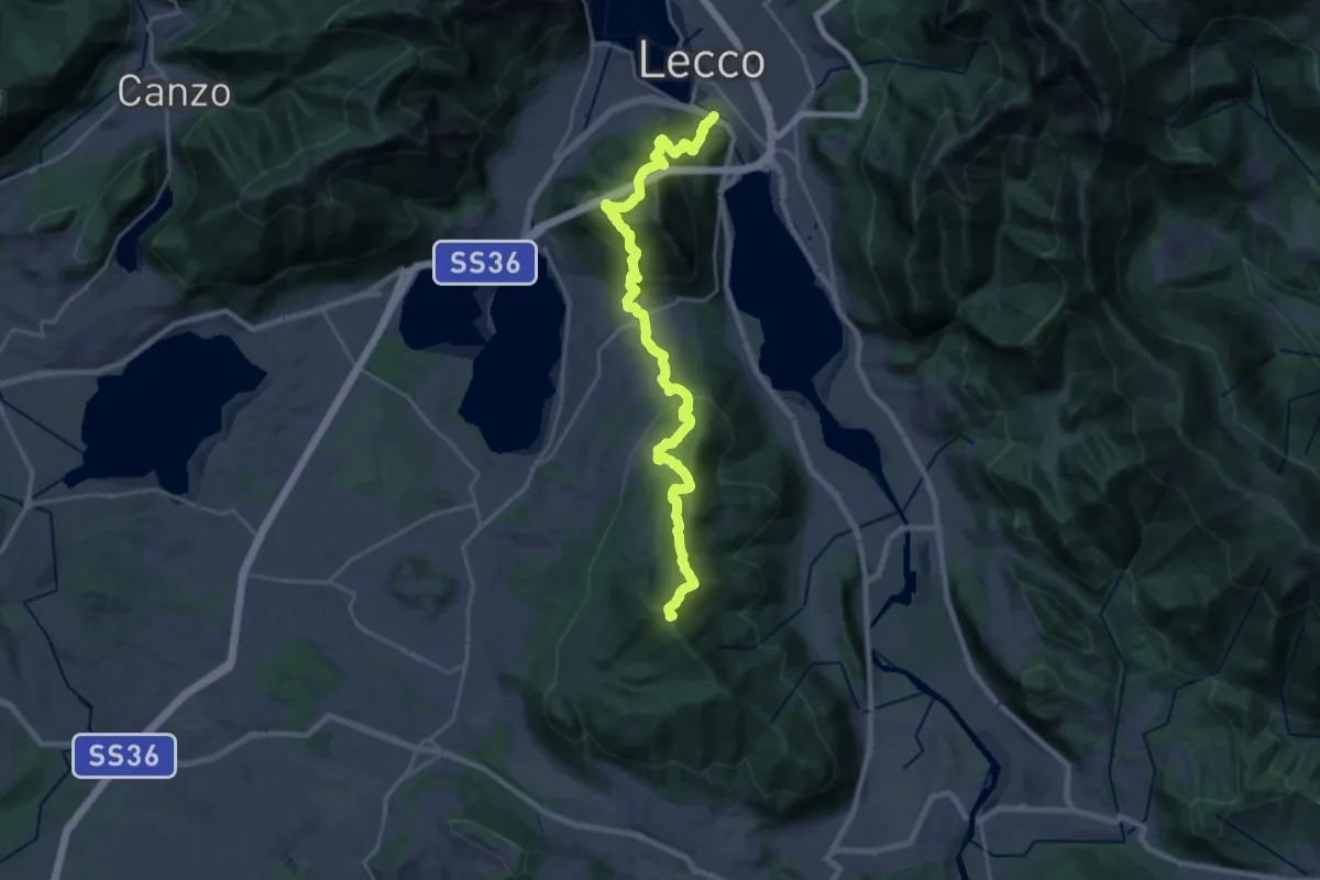
Demanding · Summit
Sentierone
27.4 km · ↑ 1740 m · 10 h 14 min · 1 km away
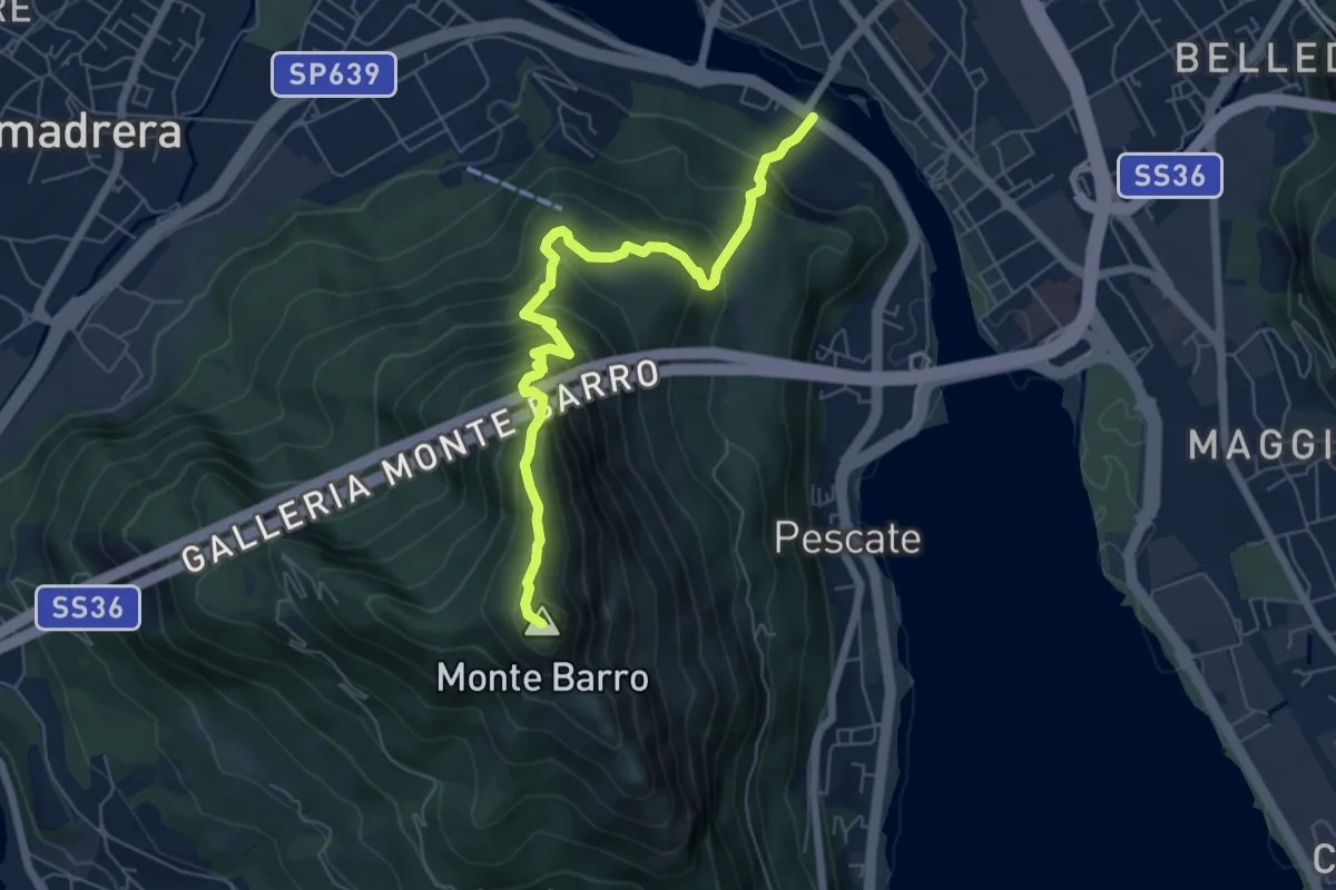
Expert · Summit
Lecco (Ponte Azzone Visconti) – Monte Barro
6.6 km · ↑ 705 m · 3 h 5 min · 1 km away
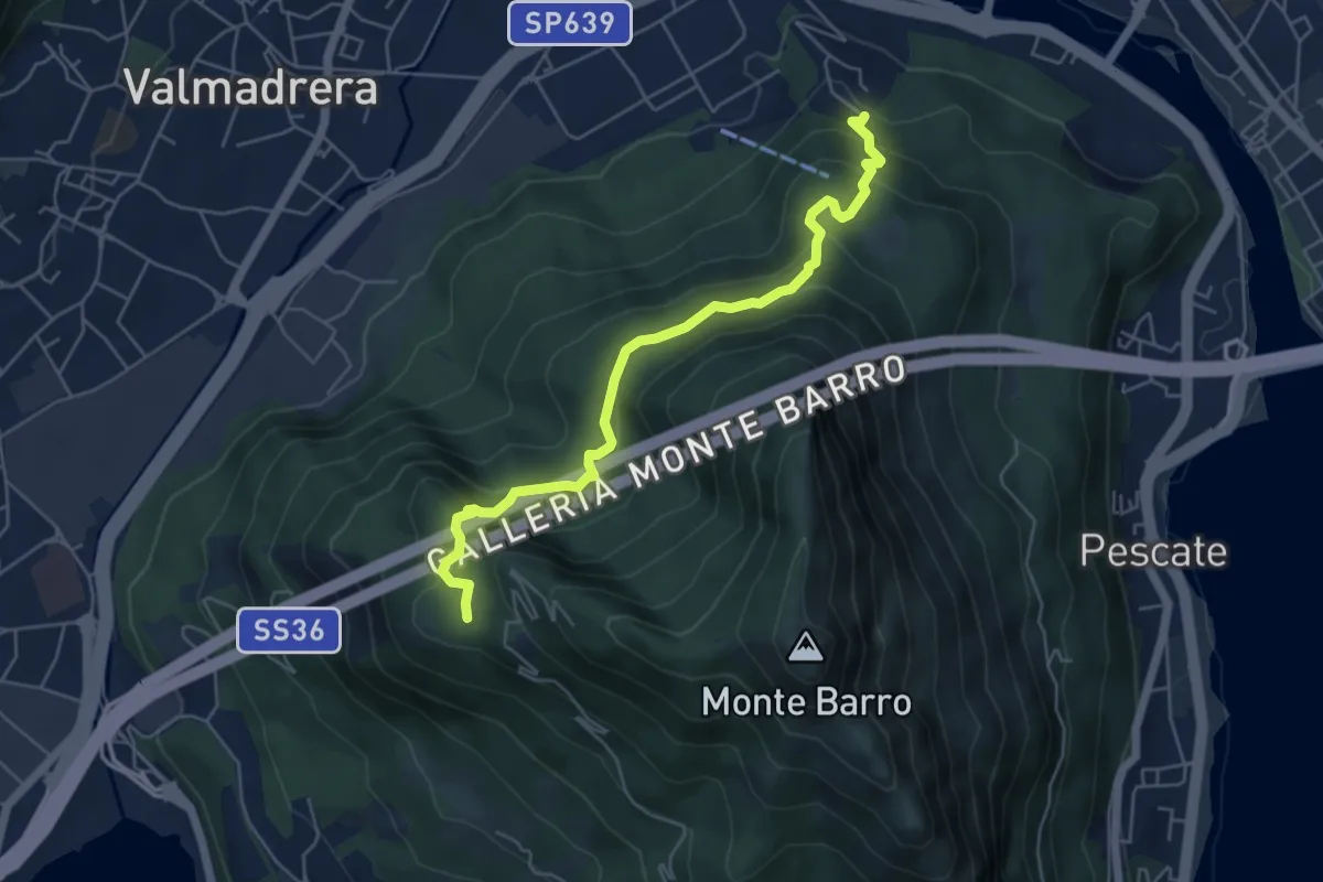
Demanding · Trail
Malgrate – Parco archeologico Monte Barro
5.6 km · ↑ 409 m · 2 h 12 min · 1 km away
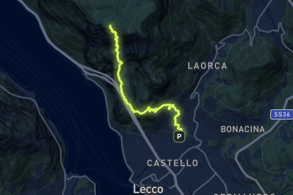
Expert · Summit
Lecco (San Giovanni) – Pian dei Resinelli
10.0 km · ↑ 1587 m · 5 h 47 min · 1 km away
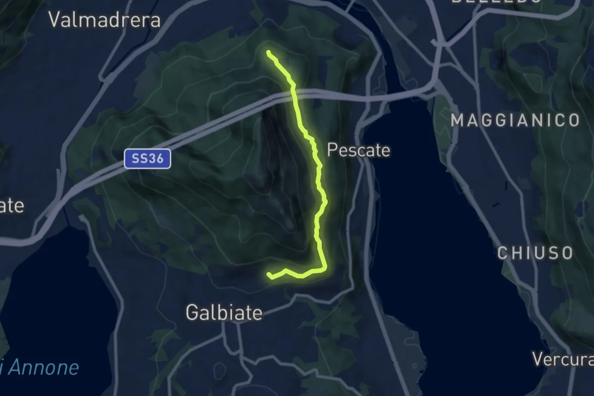
Medium · Trail
Sentiero di mezzo
6.7 km · ↑ 354 m · 2 h 21 min · 2 km away
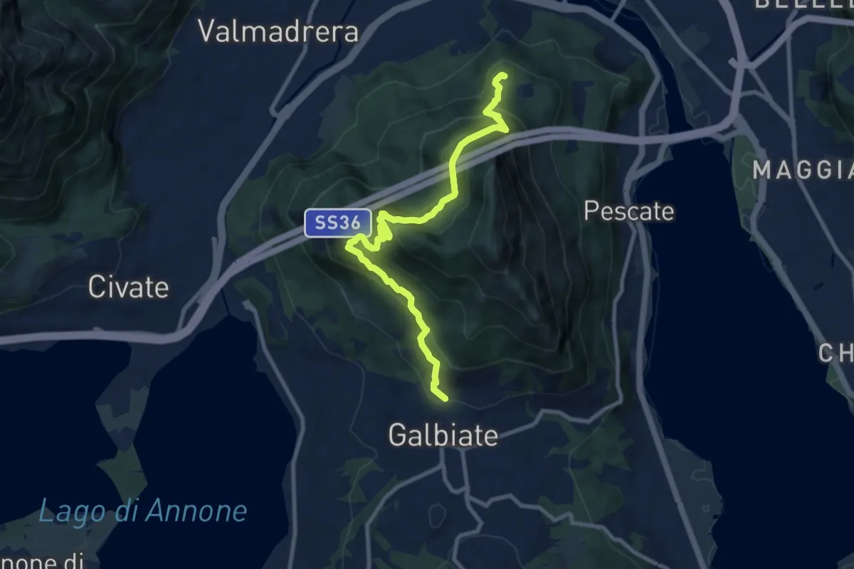
Medium · Trail
Sentiero di mezzo
9.3 km · ↑ 734 m · 3 h 47 min · 2 km away
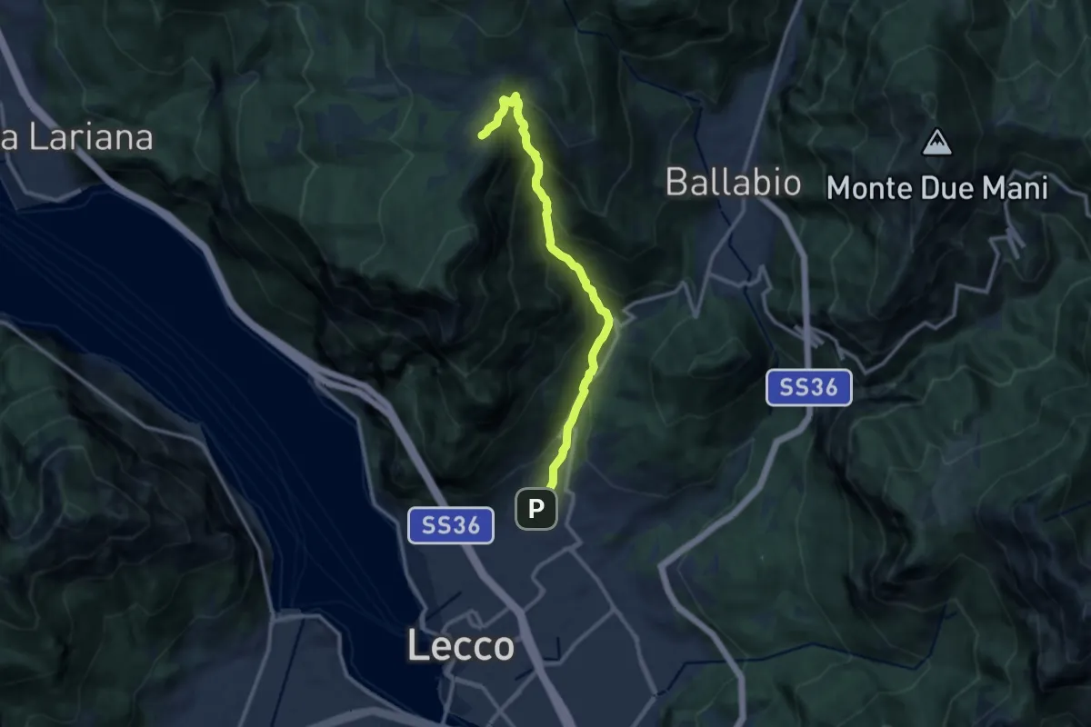
Demanding · Cabin
Sentiero della Val Calolden
10.5 km · ↑ 1010 m · 4 h 40 min · 2 km away
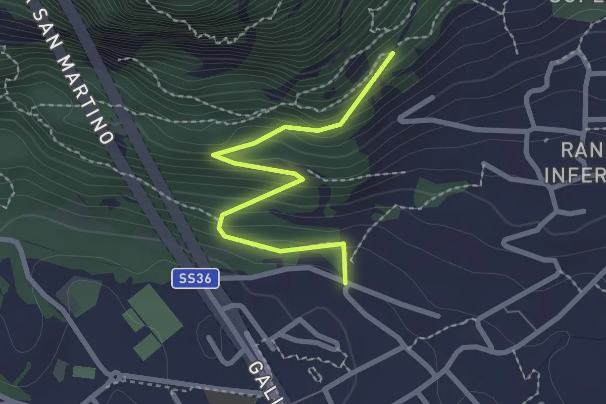
Easy · Trail
Lecco (via Ronco Inferiore) – Incrocio 552_1
2.1 km · ↑ 168 m · 52 min · 2 km away
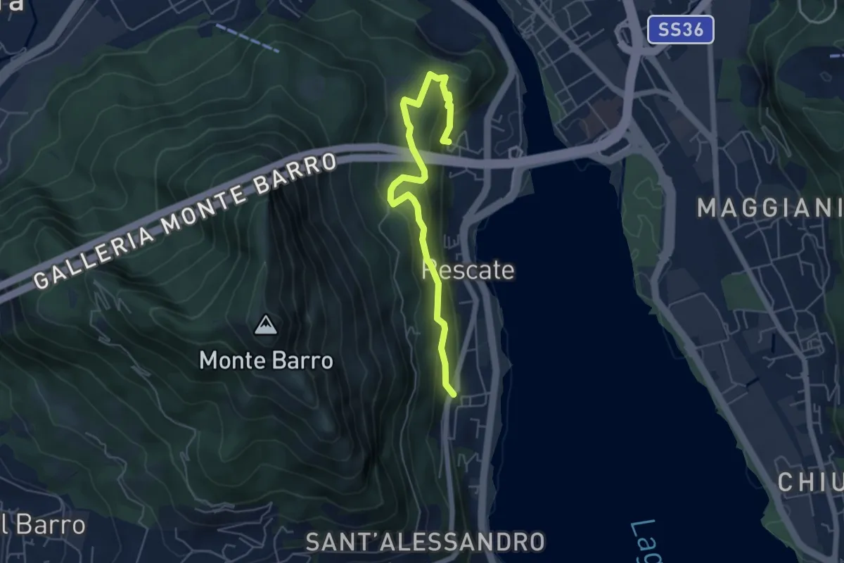
Medium · Trail
Pescalina – Pescate (cimitero)
5.5 km · ↑ 361 m · 2 h 4 min · 2 km away
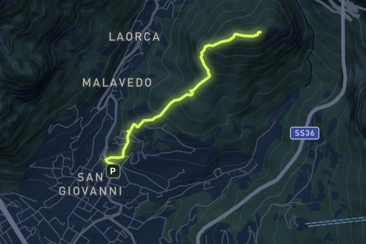
Medium · Summit
Lecco (Varigione) – Monte Melma
5.3 km · ↑ 554 m · 2 h 27 min · 2 km away
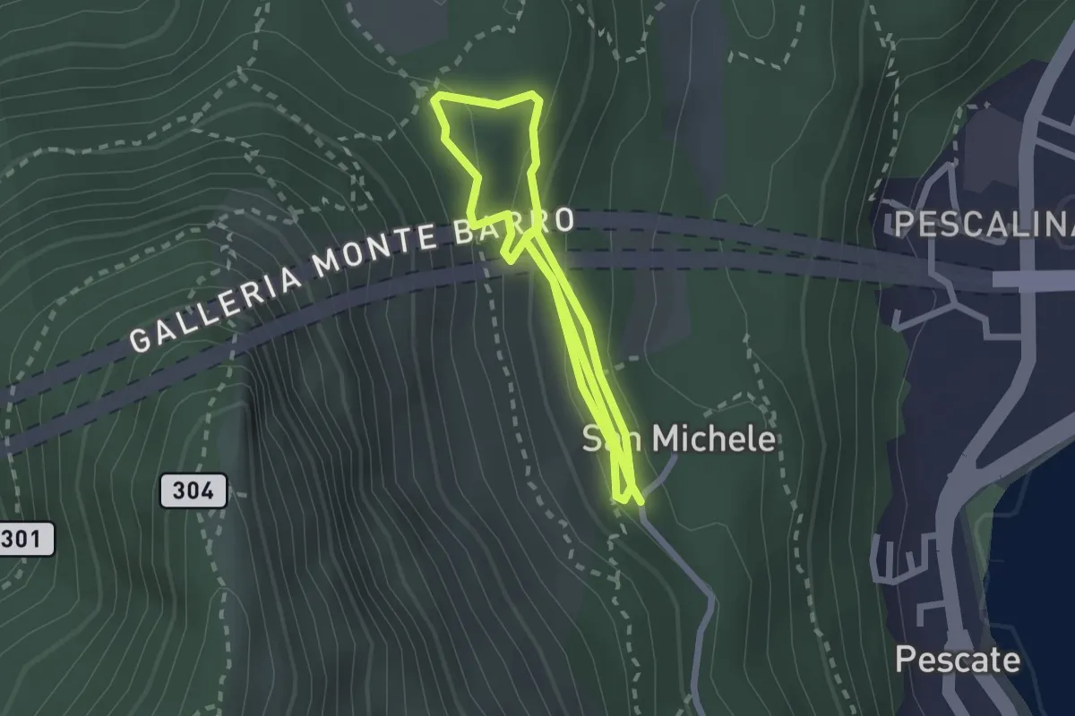
Medium · Trail
San Michele – San Michele
4.2 km · ↑ 208 m · 1 h 26 min · 2 km away
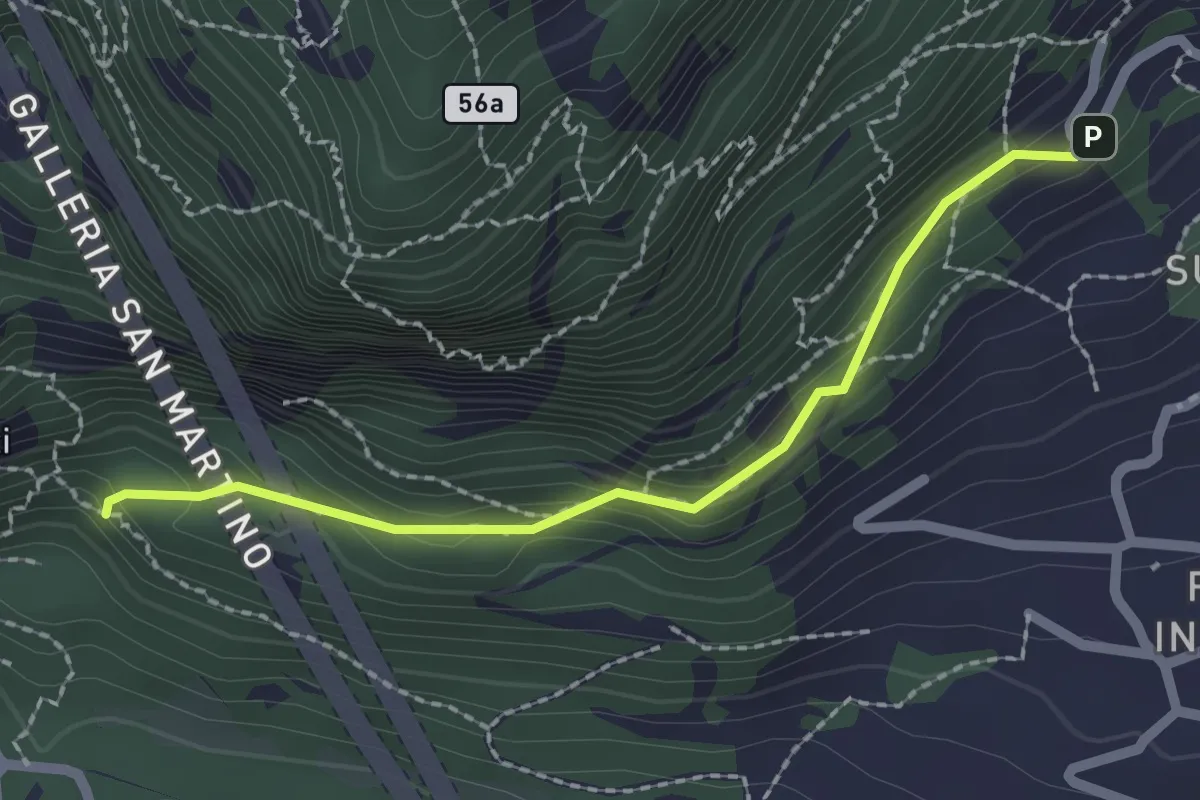
Medium · Trail
Incrocio 552 – Incrocio 553_1
2.1 km · ↑ 156 m · 50 min · 2 km away
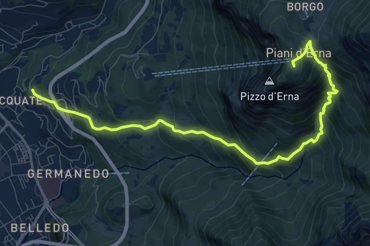
Demanding · Trail
Acquate – Piani d'Erna, funivia
10.6 km · ↑ 997 m · 4 h 40 min · 2 km away
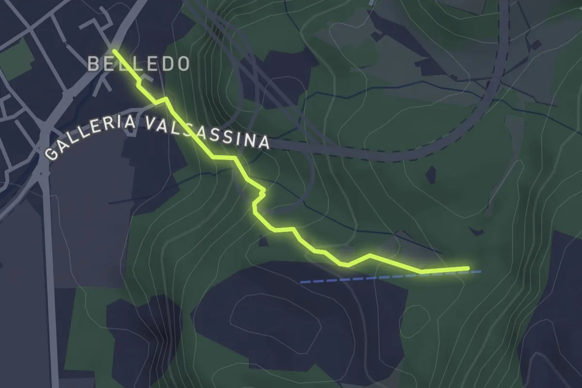
Easy · Trail
Belledo (Lecco) – Sentiero Rotary 920, Vaiolo Bassa
2.5 km · ↑ 202 m · 1 h 1 min · 2 km away
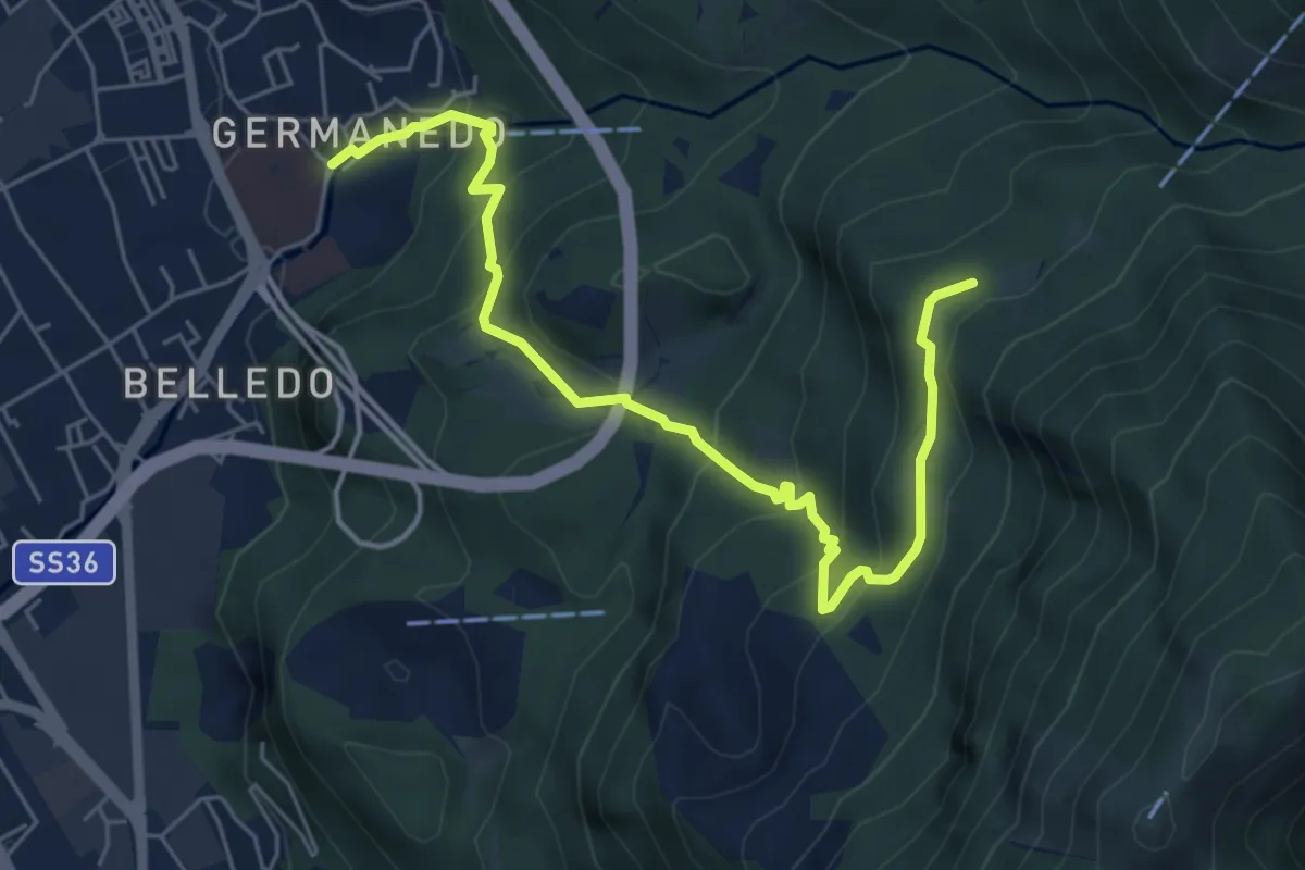
Medium · Trail
Lecco – Campo de' Boi, La Madonnina
6.5 km · ↑ 445 m · 2 h 31 min · 2 km away
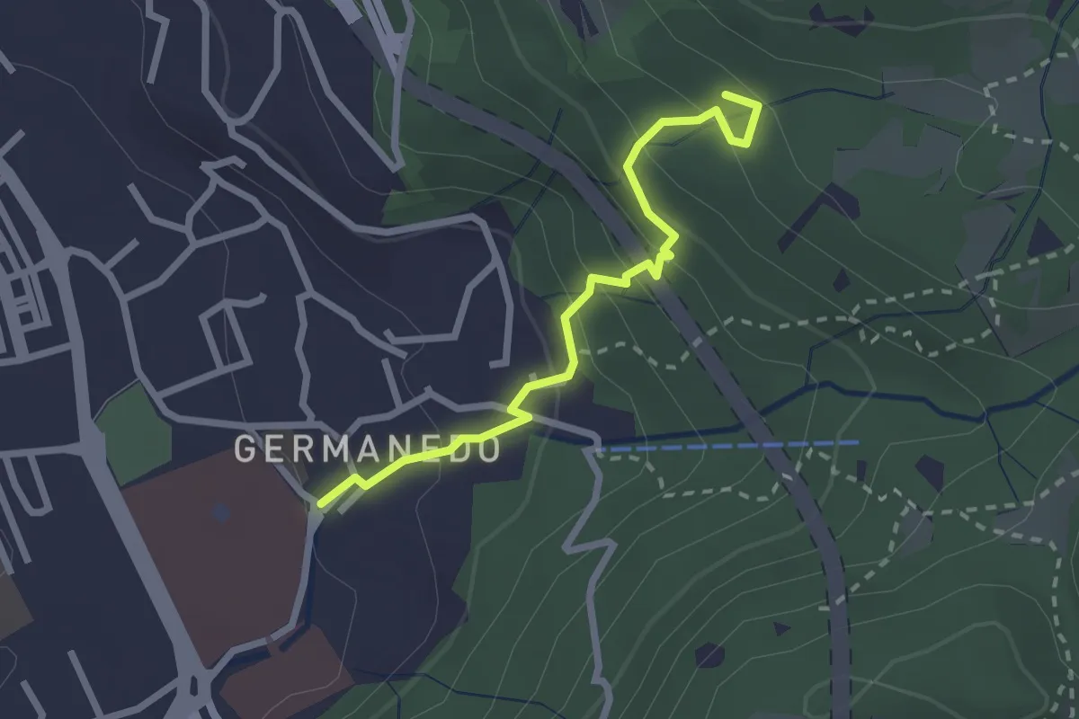
Easy · Trail
Lecco – Innesto su percorso 903
2.4 km · ↑ 183 m · 57 min · 2 km away
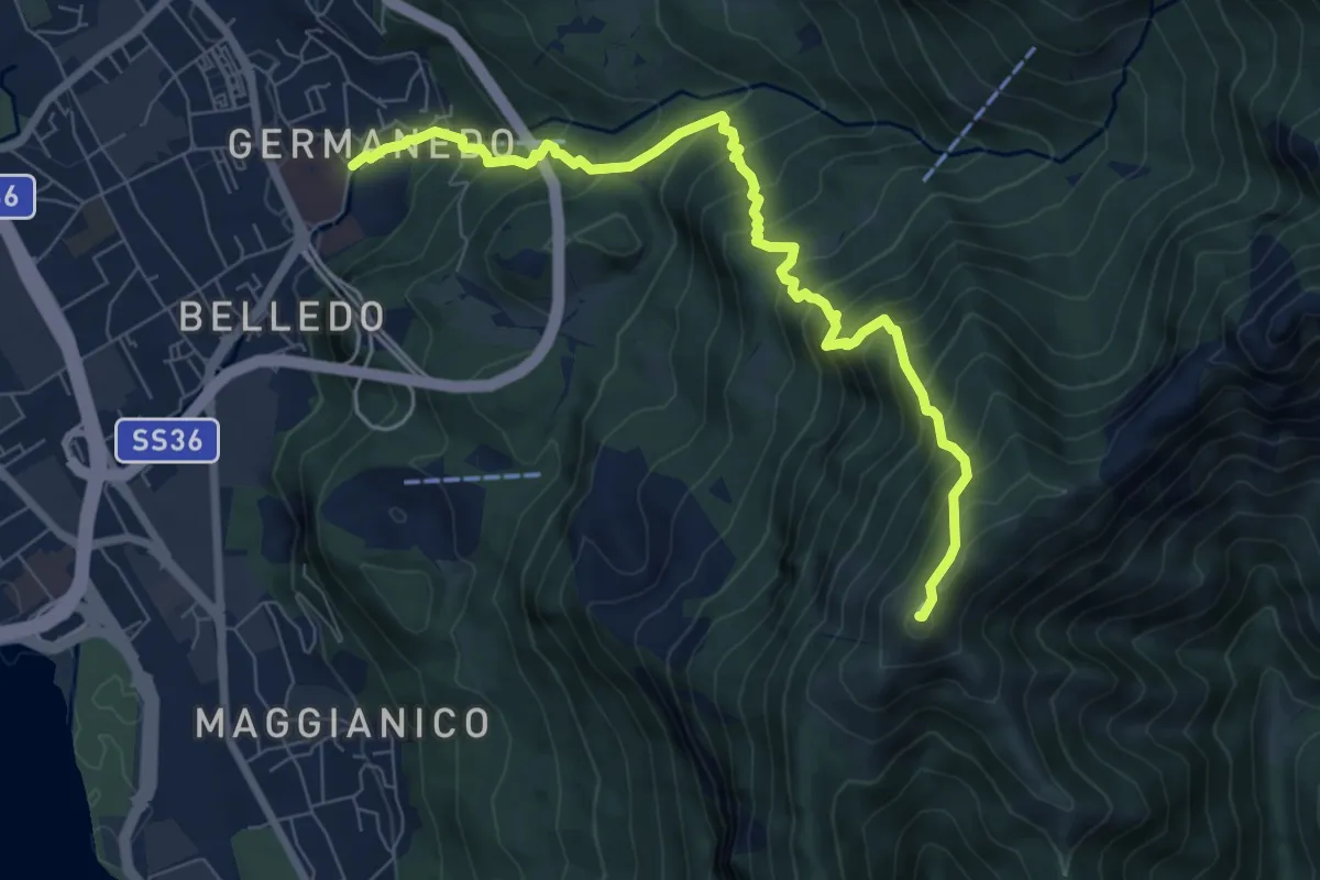
Demanding · Summit
Lecco Germanedo – Monte Magnodeno
8.0 km · ↑ 950 m · 3 h 57 min · 2 km away
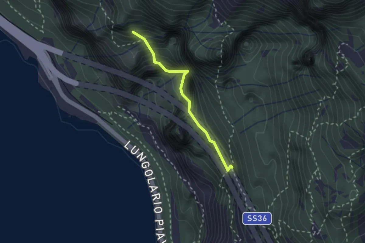
Demanding · Summit
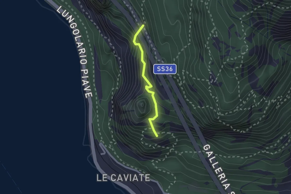
Sentiero Costantino Fiocchi
1.8 km · ↑ 629 m · 1 h 48 min · 2 km away
Expert · Summit
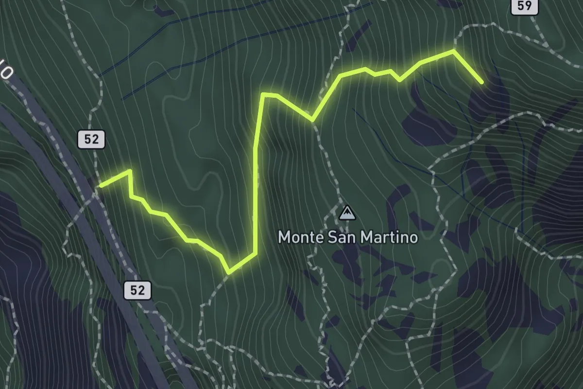
Sentiero Piero Pensa
1.6 km · ↑ 311 m · 1 h 2 min · 2 km away
Demanding · Summit
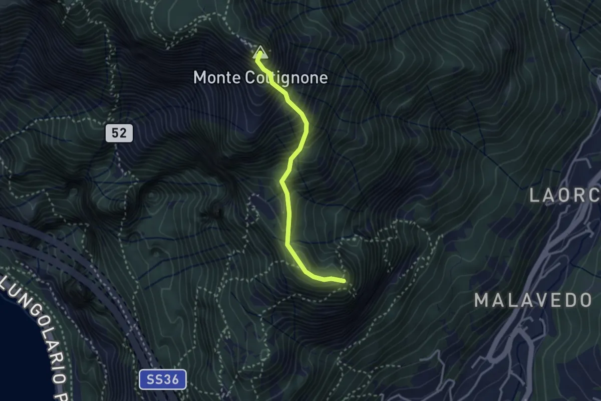
Rifugio Riccardo Piazza – Corno Medale
2.1 km · ↑ 415 m · 1 h 24 min · 2 km away
Expert · Summit
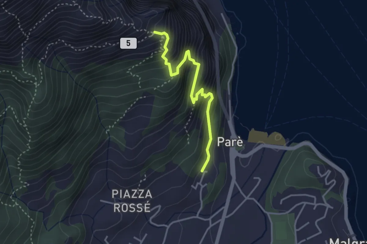
Sentiero GER
2.6 km · ↑ 532 m · 1 h 45 min · 2 km away
Demanding · Trail
Ul Sentee del Lach
3.2 km · ↑ 418 m · 1 h 40 min · 2 km away
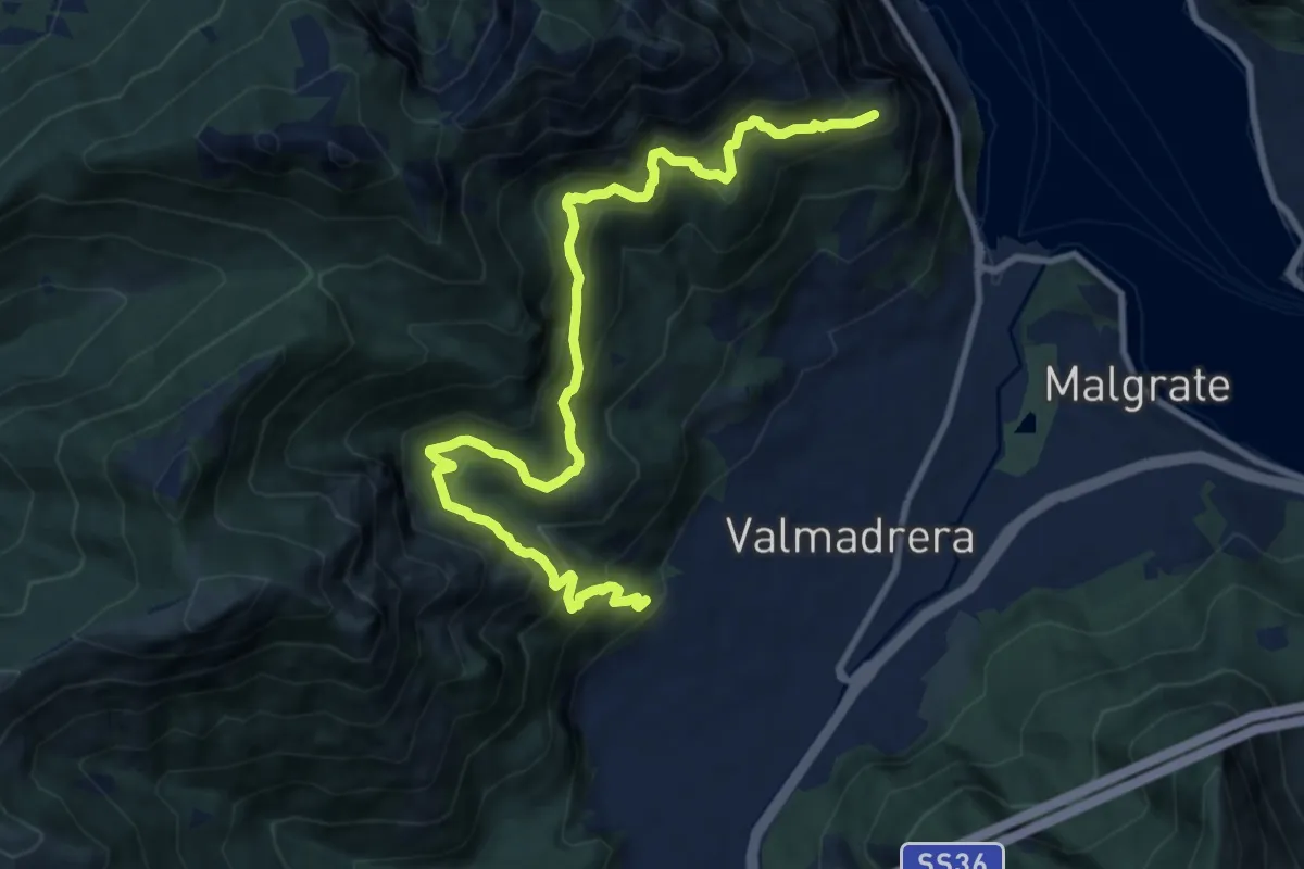
Demanding · Trail
Santuario della Madonna di San Martino – Sasso di Preguda
11.9 km · ↑ 1039 m · 5 h 3 min · 2 km away
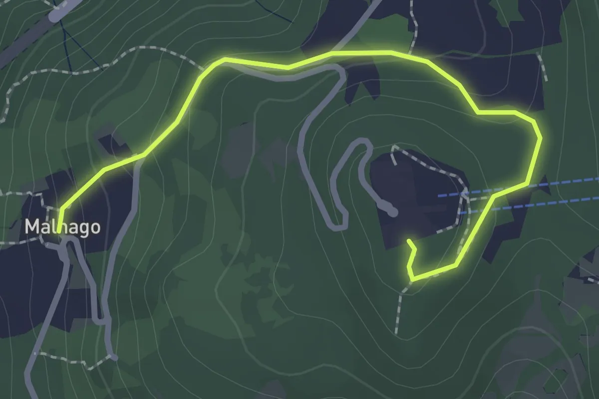
Easy · Trail
Malnago – Piazzale funivia per Erna
2.5 km · ↑ 112 m · 50 min · 3 km away
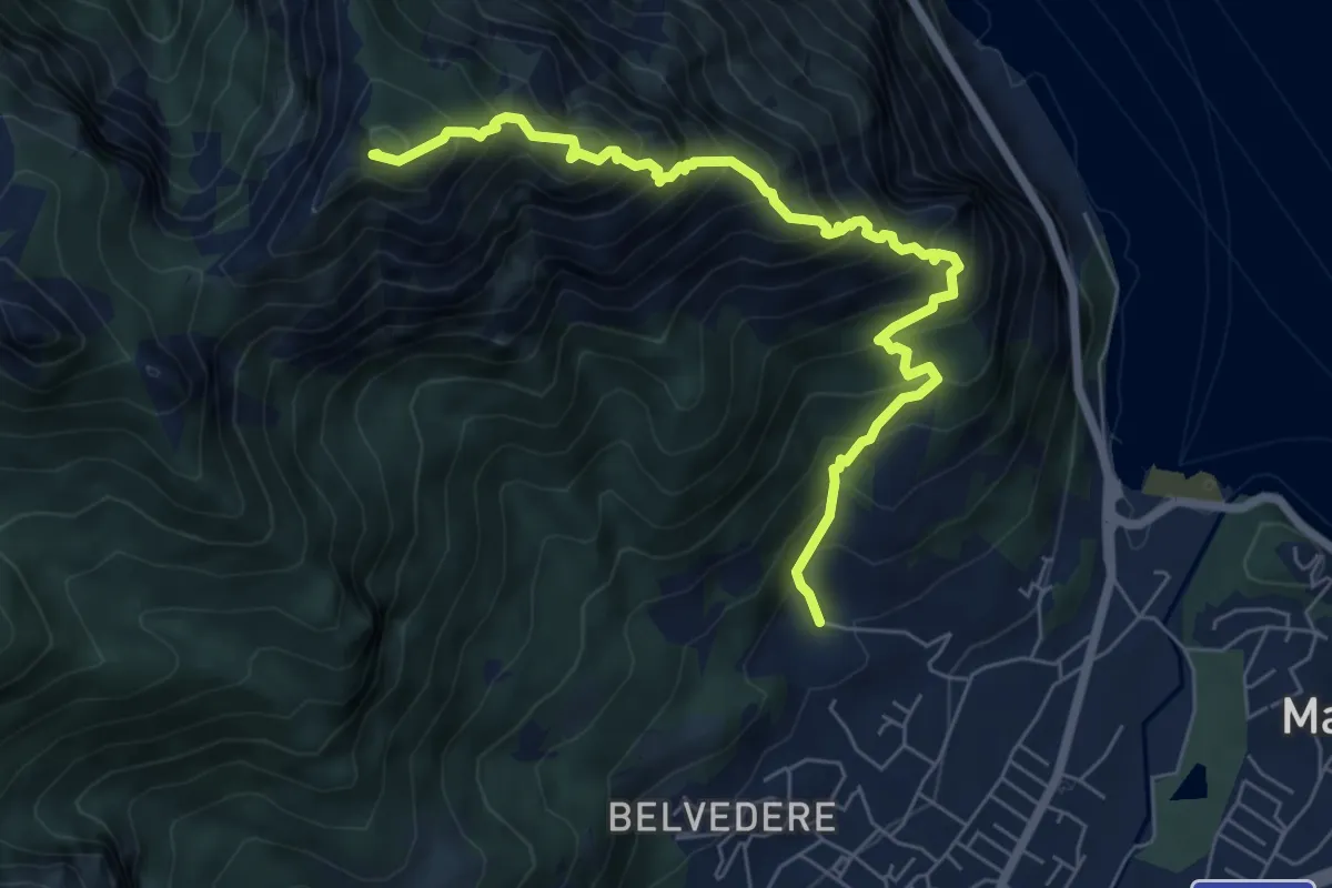
Expert · Summit
Piazza Rossé – Bocchetta di Moregge
7.2 km · ↑ 935 m · 3 h 43 min · 3 km away
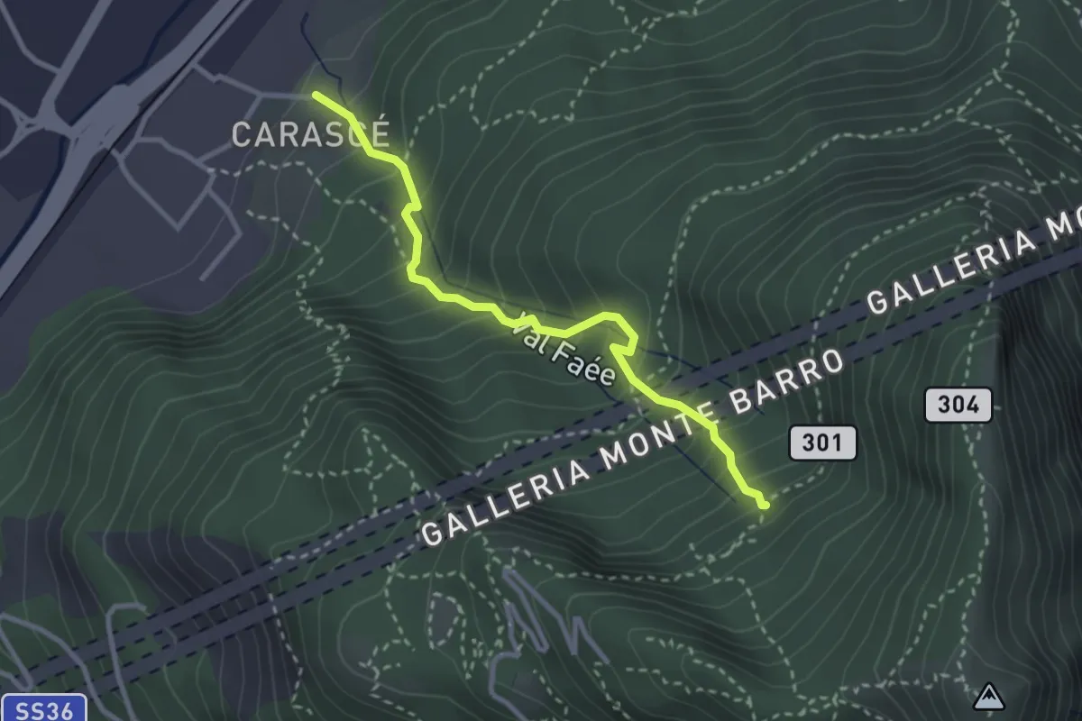
Medium · Trail
Carascé – Faée Alto
2.9 km · ↑ 388 m · 1 h 31 min · 3 km away
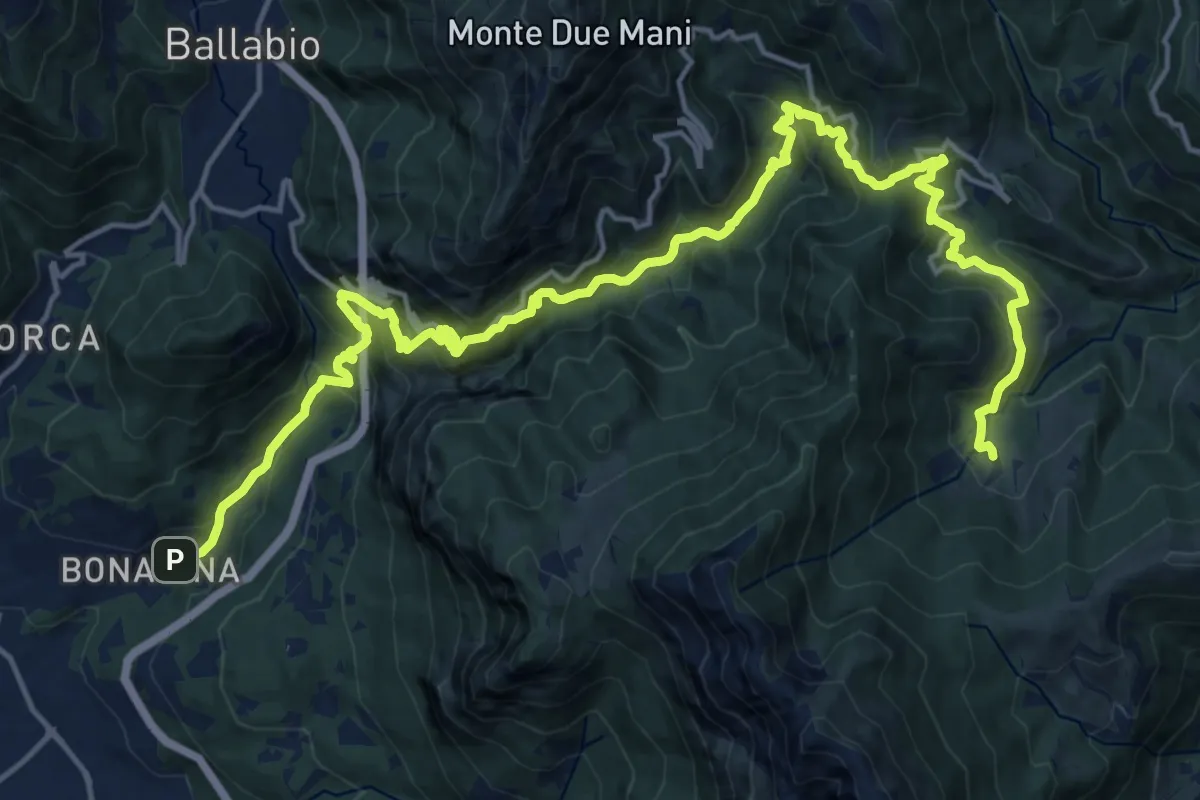
Demanding · Trail
Bonacina – Morterone
11.5 km · ↑ 1187 m · 5 h 5 min · 3 km away
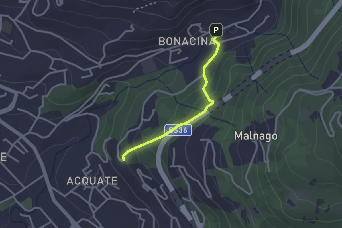
Easy · Trail
Bonacina – Acquate, Madonna di Lourdes
2.1 km · ↑ 114 m · 45 min · 3 km away
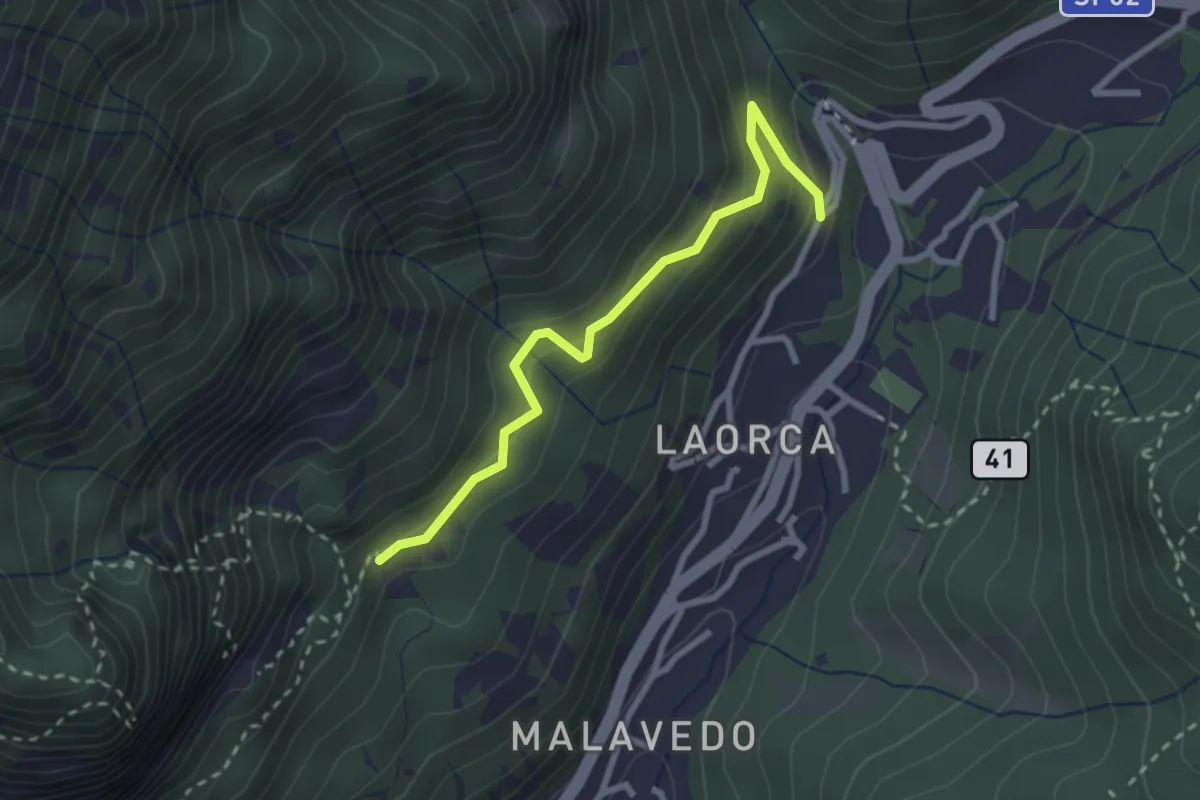
Easy · Trail
Incrocio 551 – Incrocio 556
2.7 km · ↑ 193 m · 1 h 3 min · 3 km away
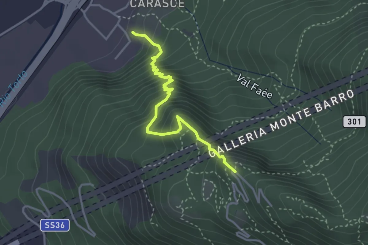
Medium · Trail
Valmadrera (fornaci Villa) – Culcinera
3.1 km · ↑ 428 m · 1 h 40 min · 3 km away
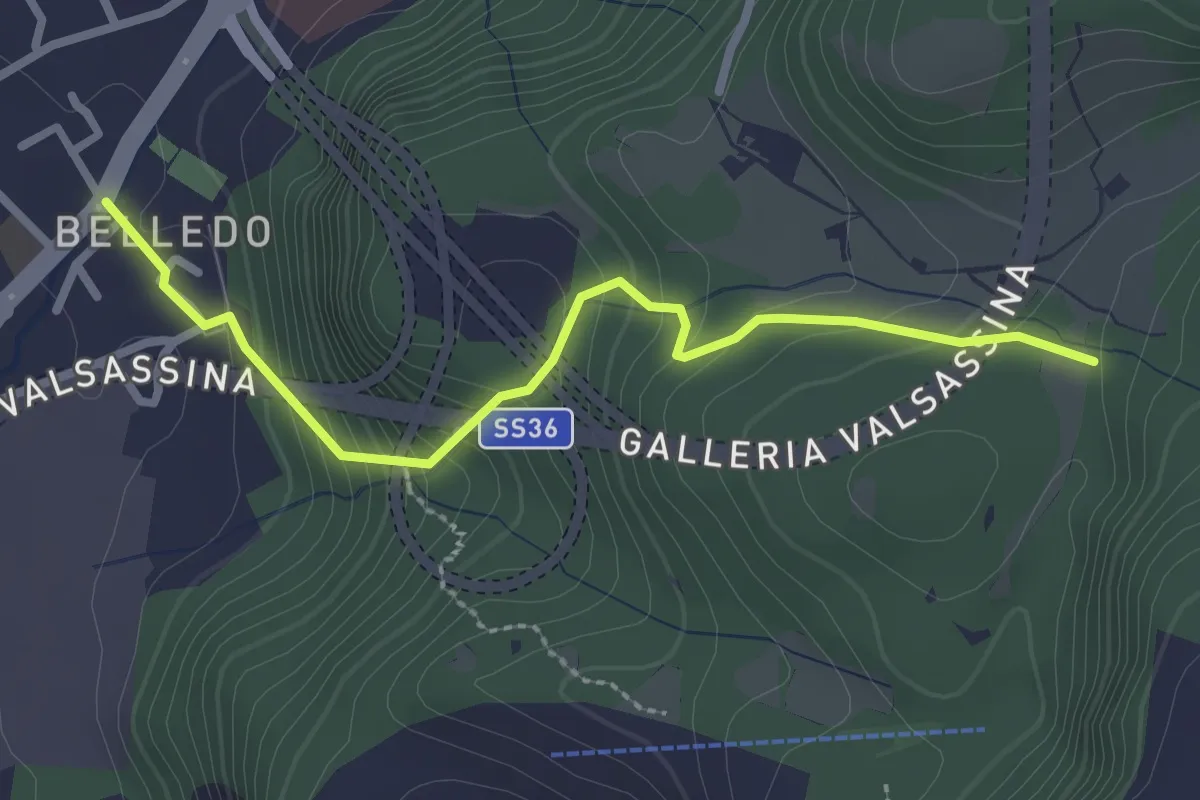
Easy · Trail
Belledo (Lecco) – Sentiero Rotary 920
2.7 km · ↑ 228 m · 1 h 8 min · 3 km away
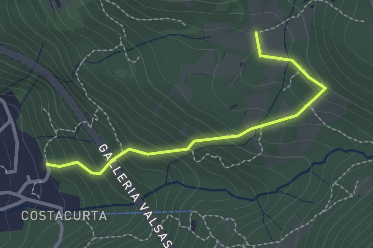
Easy · Trail
Germanedo, innesto percorso 903-1 – Cavagiozzo, innesto percorso 903
2.1 km · ↑ 196 m · 56 min · 3 km away
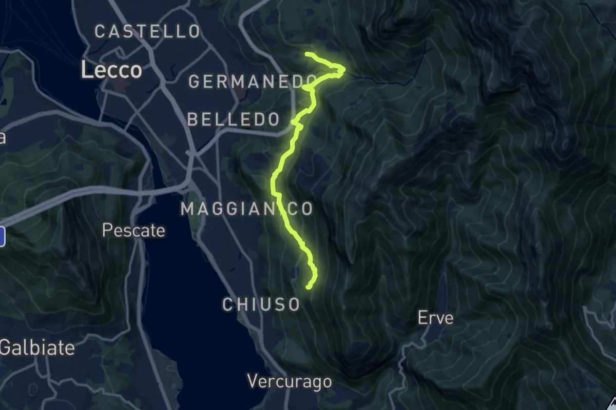
Medium · Trail
Percorso Giorgio Combi
10.5 km · ↑ 564 m · 3 h 43 min · 3 km away
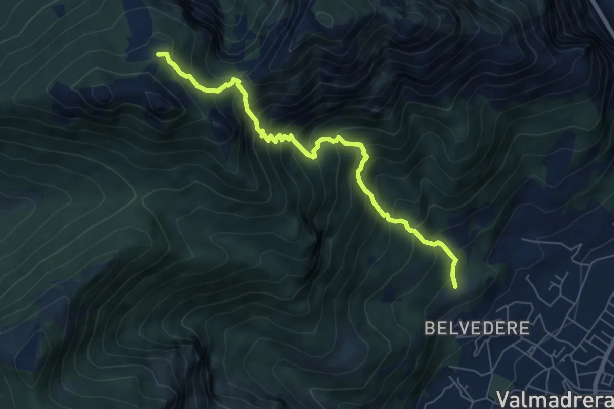
Demanding · Cabin
Cappelletta VARS – Rifugio S.E.V.
6.2 km · ↑ 837 m · 3 h 17 min · 3 km away
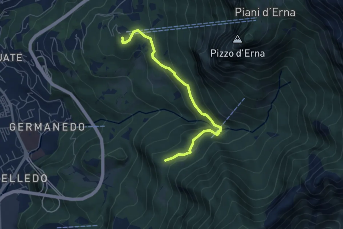
Easy · Trail
Piazzale funivia – Campo de' Boi - La Madonnina
5.5 km · ↑ 212 m · 1 h 45 min · 3 km away
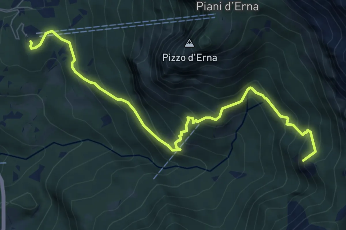
Medium · Summit
Piazzale funivia per Piani d'Erna – Rif. Alpinisti Monzesi
7.7 km · ↑ 658 m · 3 h 15 min · 3 km away
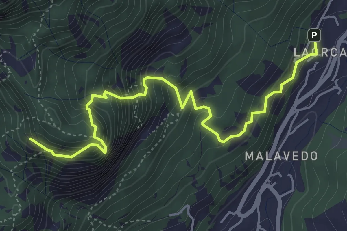
Demanding · Summit
Rifugio Piazza – Corno Medale
4.9 km · ↑ 860 m · 3 h 2 min · 3 km away
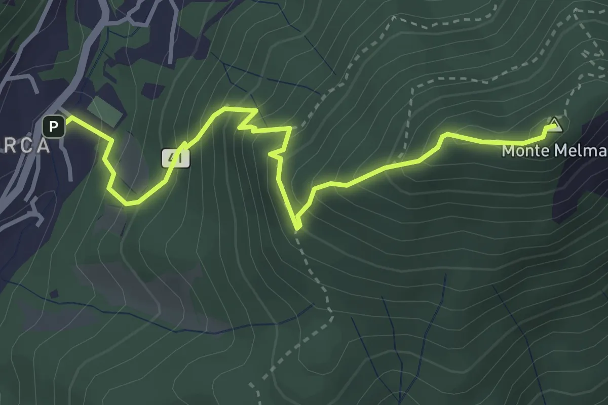
Medium · Summit
Laorca – Monte Melma
3.8 km · ↑ 481 m · 1 h 57 min · 3 km away
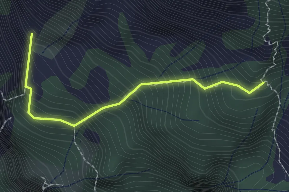
Expert · Summit
Sentiero dei Tecett
1.8 km · ↑ 408 m · 1 h 18 min · 3 km away
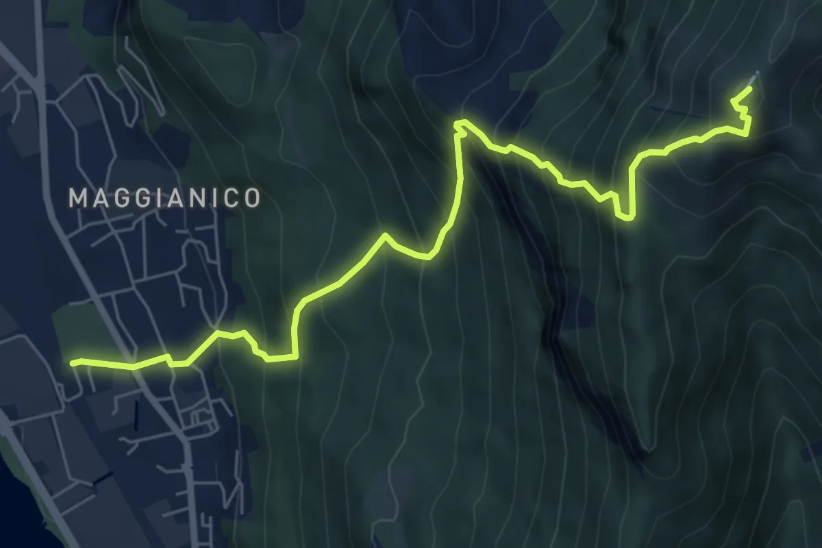
Demanding · Summit
Lecco – Monte Magnodeno
7.2 km · ↑ 1006 m · 3 h 52 min · 3 km away
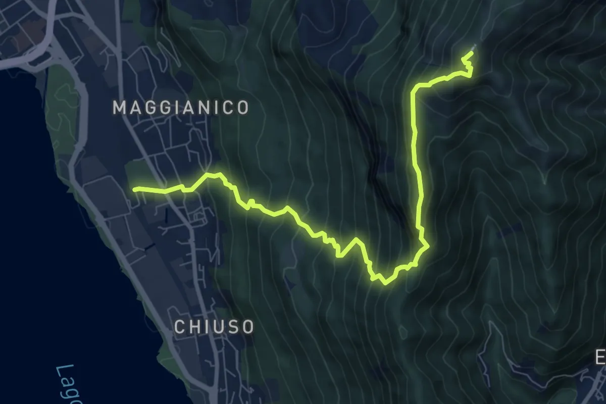
Demanding · Summit
Lecco – Monte Magnodeno
9.1 km · ↑ 992 m · 4 h 18 min · 3 km away
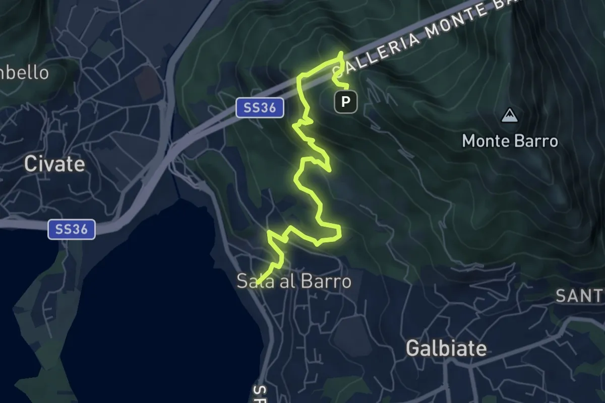
Medium · Trail
Sala al Barro (FS) – Parco archeologico Monte Barro
6.9 km · ↑ 476 m · 2 h 40 min · 3 km away
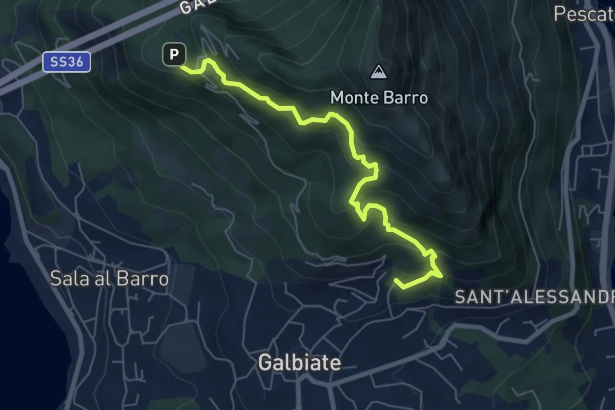
Medium · Trail
Galbiate – Parco archeologico Monte Barro
5.6 km · ↑ 521 m · 2 h 27 min · 3 km away
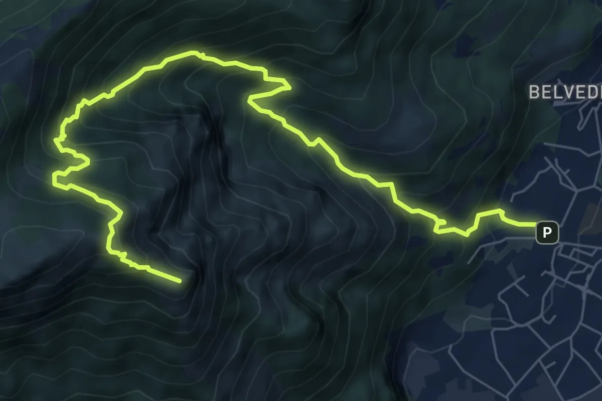
Expert · Summit
Caserta – Corno Birone
9.3 km · ↑ 1043 m · 4 h 28 min · 3 km away
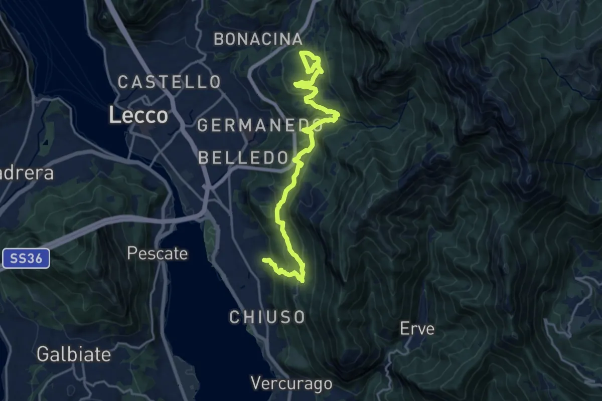
Demanding · Trail
Sentiero Rotary Lecco
16.4 km · ↑ 875 m · 5 h 46 min · 3 km away
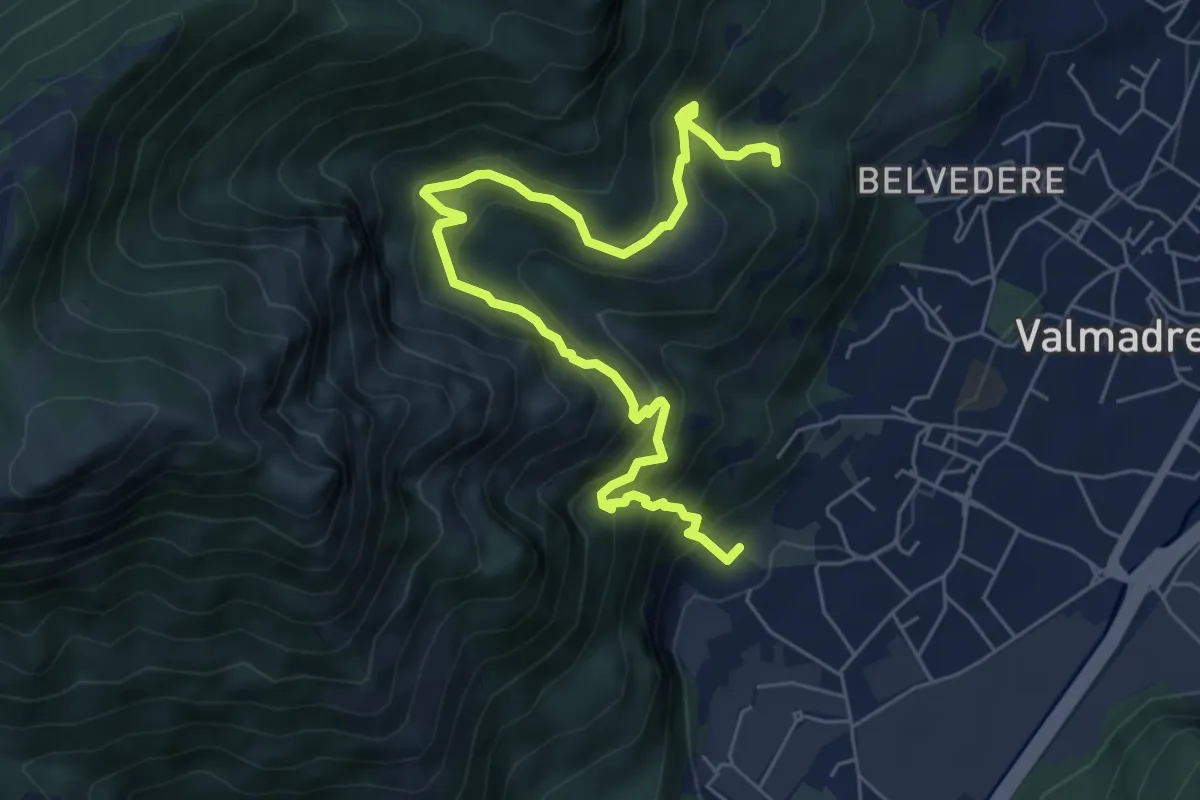
Demanding · Trail
Il percorso dei massi erratici
3.7 km · ↑ 263 m · 1 h 35 min · 3 km away