Trails near Lecco
391 hikes starting within 15 km, nearest first.
Nearest first, page 8 of 9
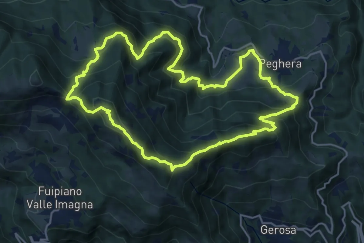
Demanding · Summit
Sentiero della Cultura Casearia - Peghera, luogo di stagionatura
11.9 km · ↑ 901 m · 4 h 56 min · 14 km away
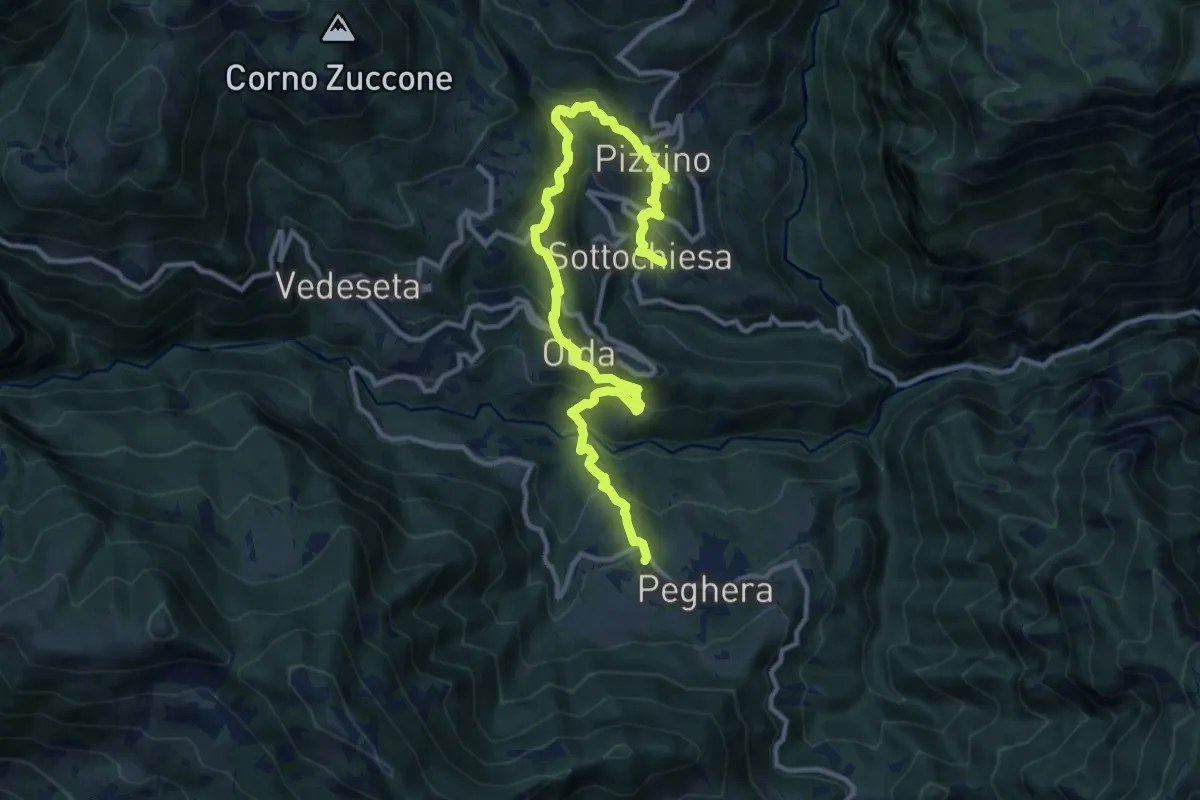
Demanding · Trail
Sentiero dei Laghi Basso - Tappa 4
13.8 km · ↑ 884 m · 5 h 10 min · 14 km away
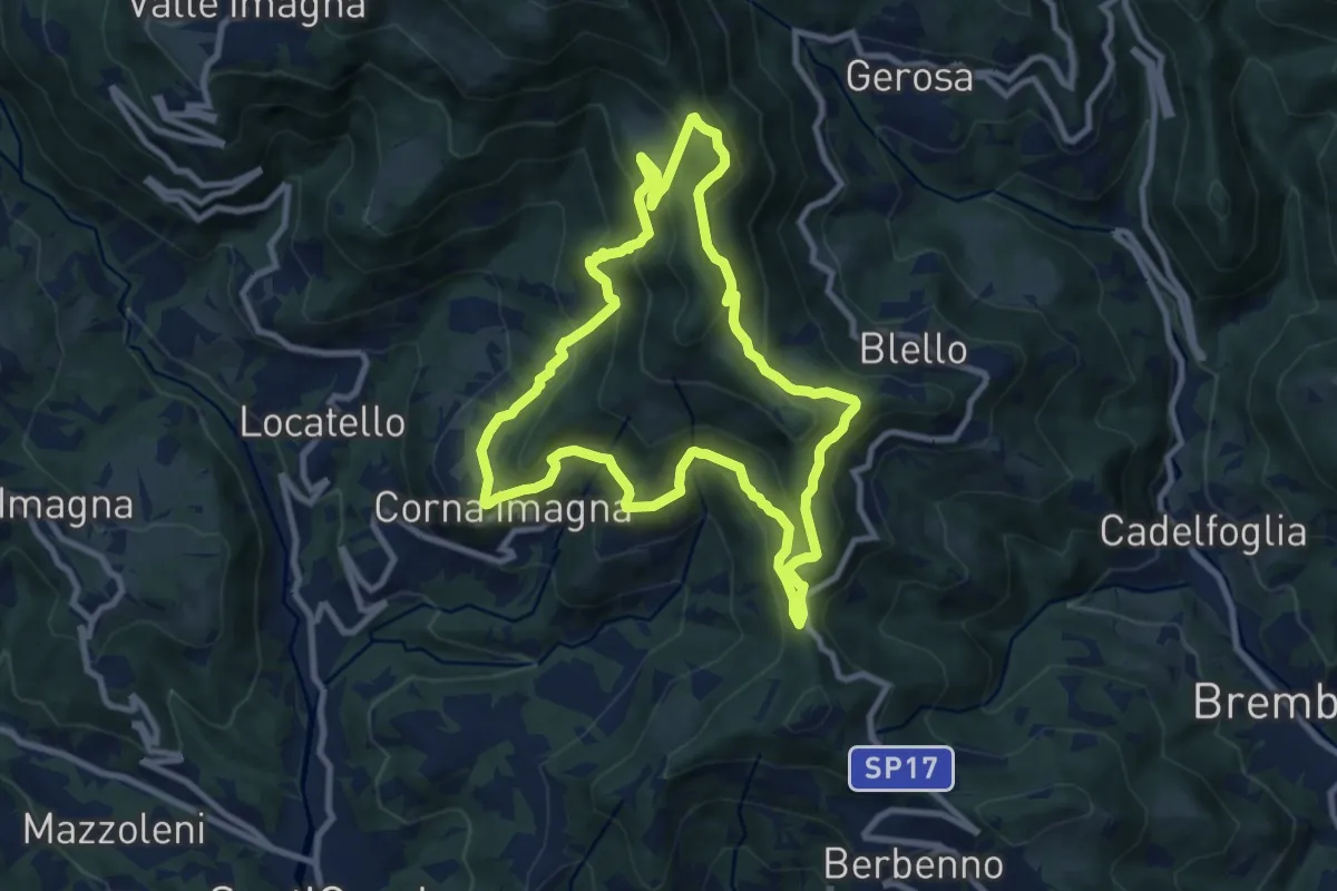
Medium · Summit
Sentiero dei Roccoli
9.3 km · ↑ 570 m · 3 h 34 min · 14 km away
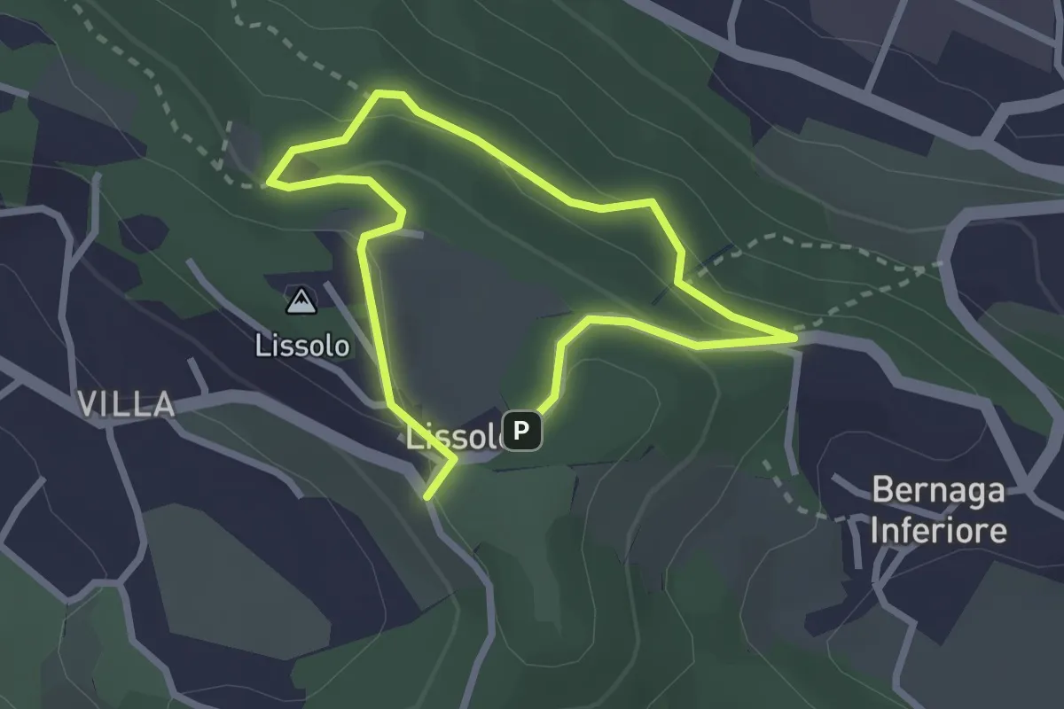
Easy · Summit
Sentiero dei Proverbi
2.0 km · ↑ 74 m · 39 min · 14 km away
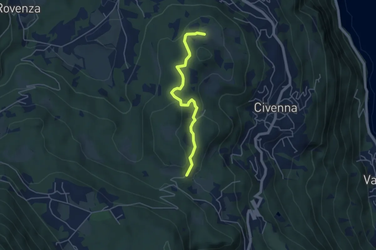
Easy · Trail
C.na Tronca (Bellagio) – Stalle di Villa Mora (Bellagio)
4.0 km · ↑ 166 m · 1 h 18 min · 14 km away
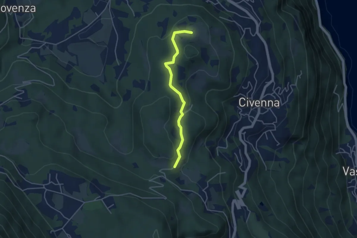
Easy · Trail
C.na Tronca (Bellagio) – Stalle di Villa Mora (Bellagio)
3.5 km · ↑ 126 m · 1 h 6 min · 14 km away
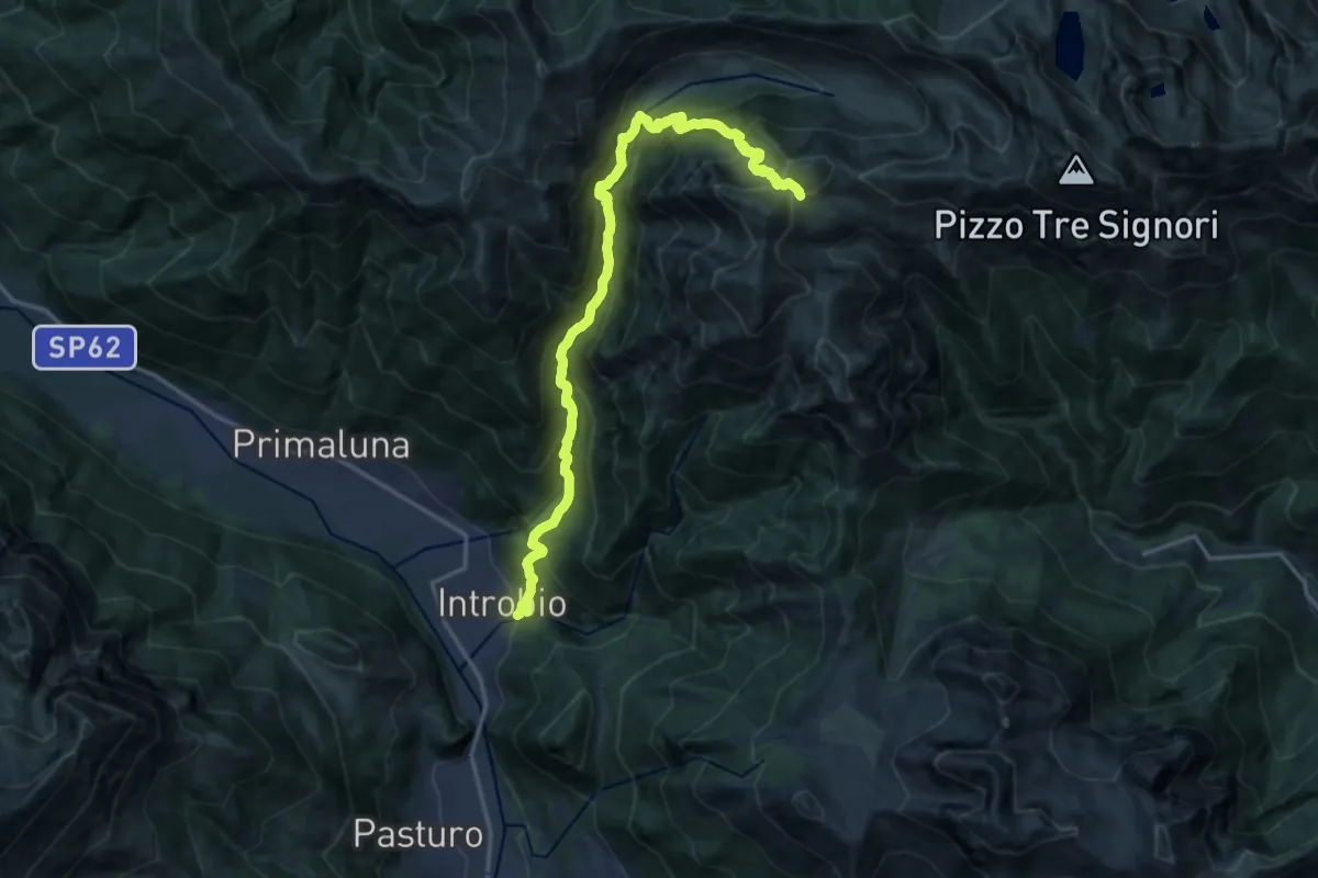
Demanding · Cabin
Introbio – Rifugio Grassi
17.7 km · ↑ 1540 m · 7 h 31 min · 14 km away
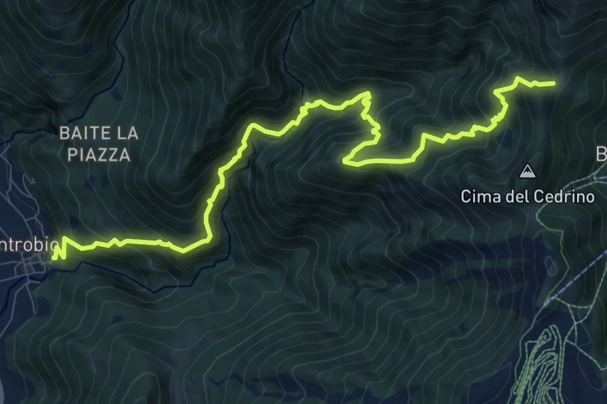
Demanding · Trail
Introbio – Introbio - Passo del Gandazzo
12.1 km · ↑ 1163 m · 5 h 23 min · 14 km away
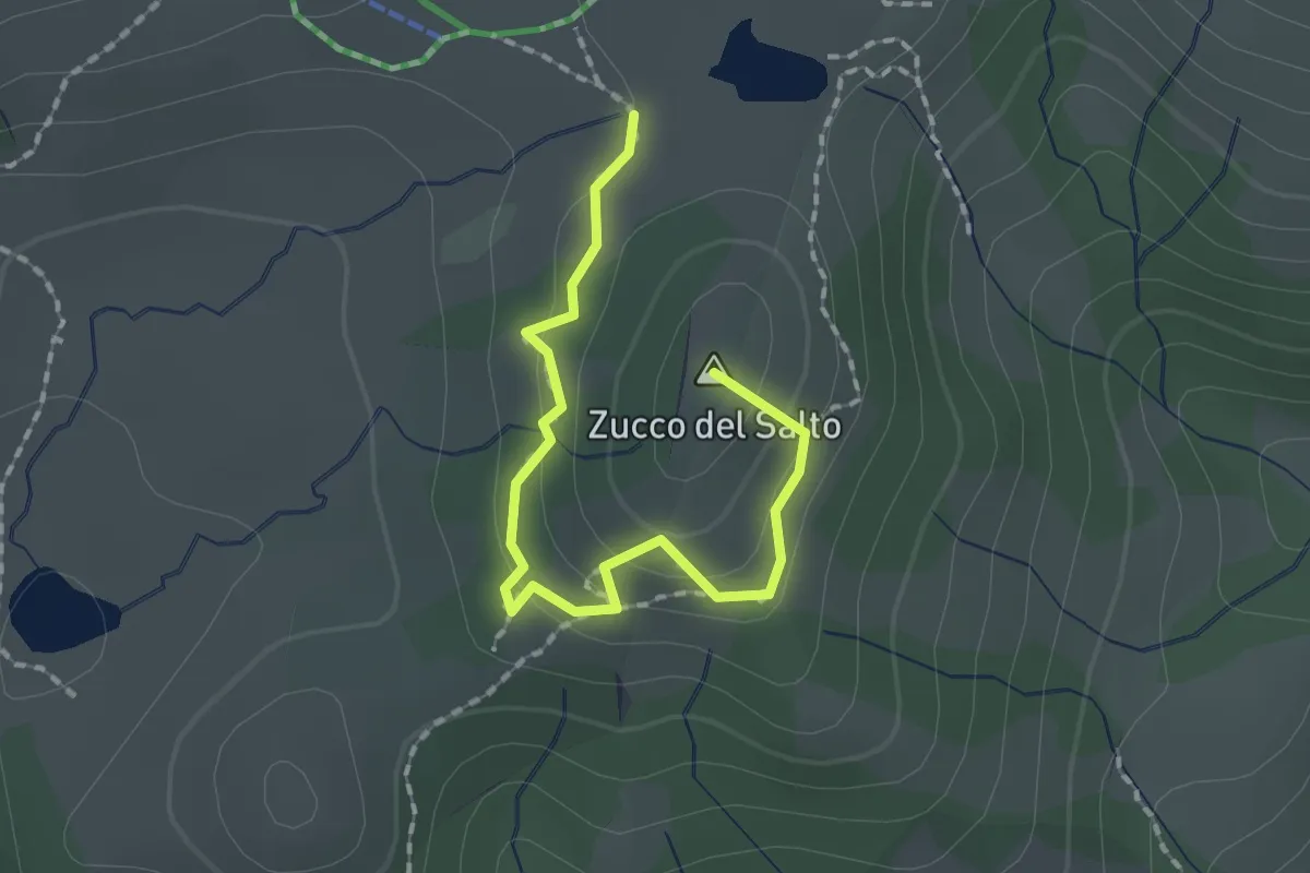
Easy · Summit
Sentiero della Marmotta
1.9 km · ↑ 88 m · 39 min · 14 km away
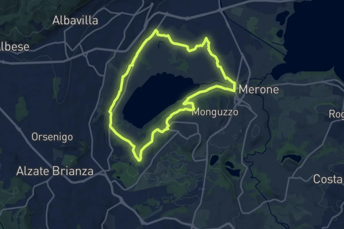
Medium · Trail
Attorno al lago di Alserio
11.3 km · ↑ 162 m · 3 h 11 min · 14 km away
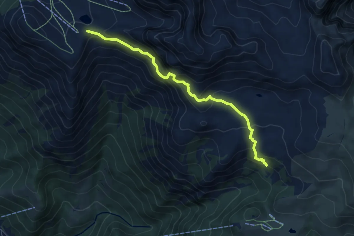
Expert · Trail
Sentiero degli stradini
6.5 km · ↑ 519 m · 2 h 40 min · 14 km away
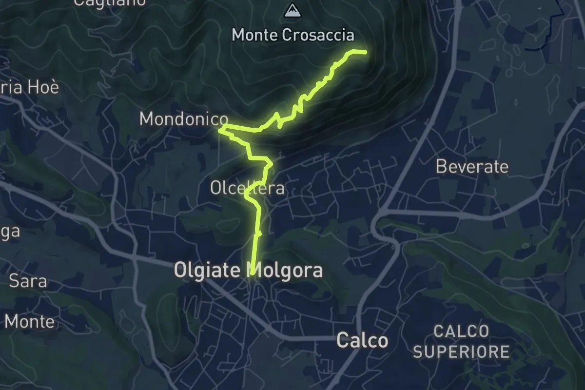
Medium · Trail
Olgiate Molgora (FS) – Crosaccia
7.3 km · ↑ 425 m · 2 h 39 min · 14 km away
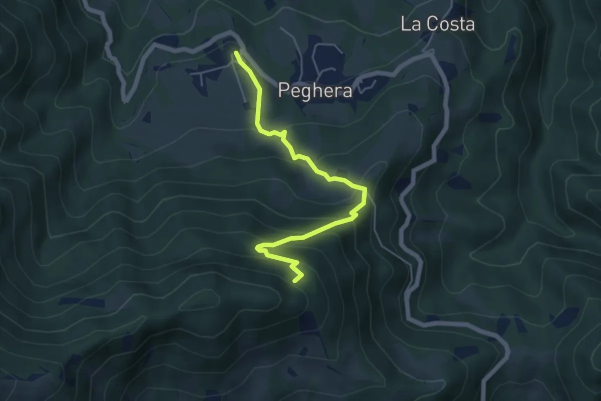
Demanding · Trail
Peghera – Piavigin
4.6 km · ↑ 380 m · 1 h 54 min · 14 km away
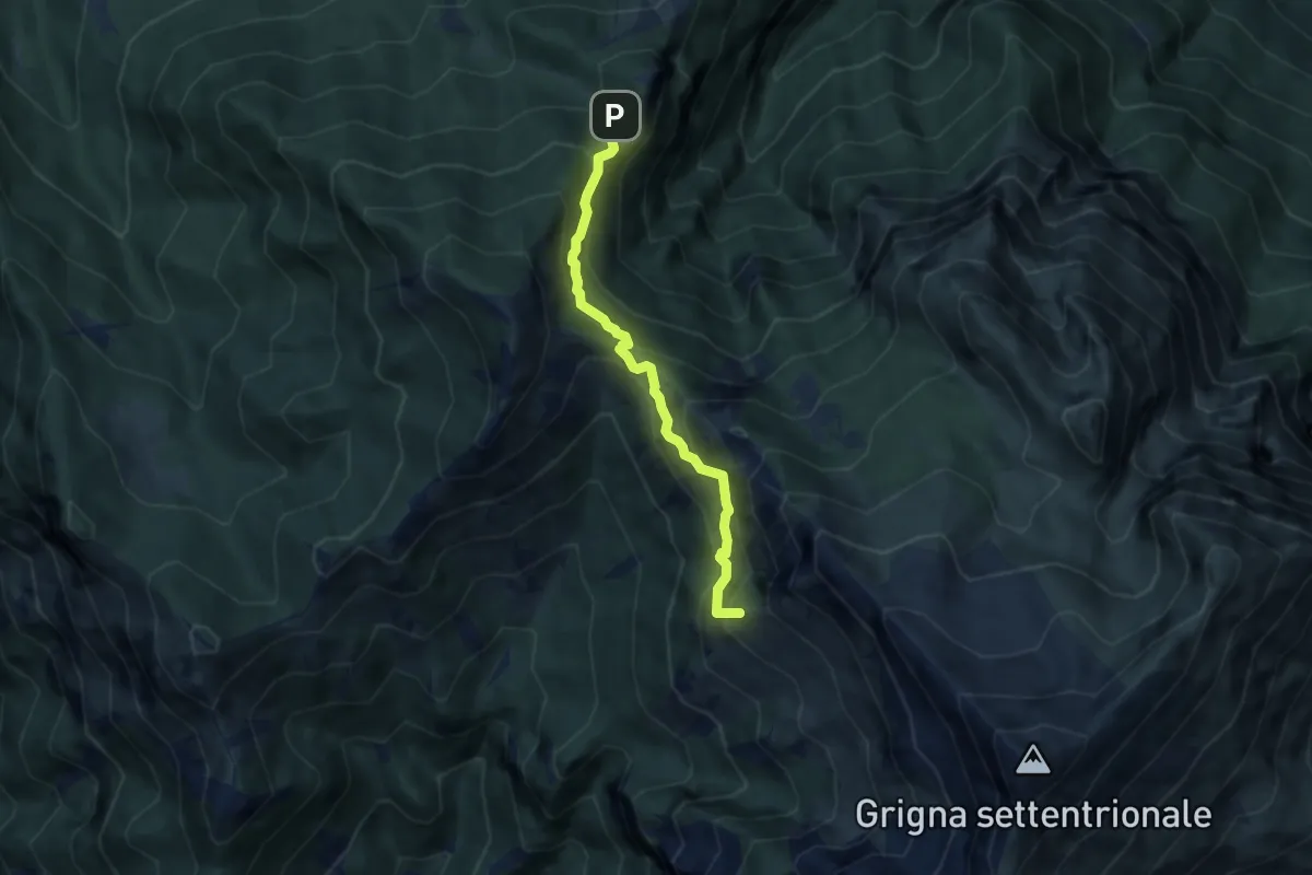
Medium · Summit
Cainallo - Rifugio Bietti
6.2 km · ↑ 536 m · 2 h 38 min · 14 km away
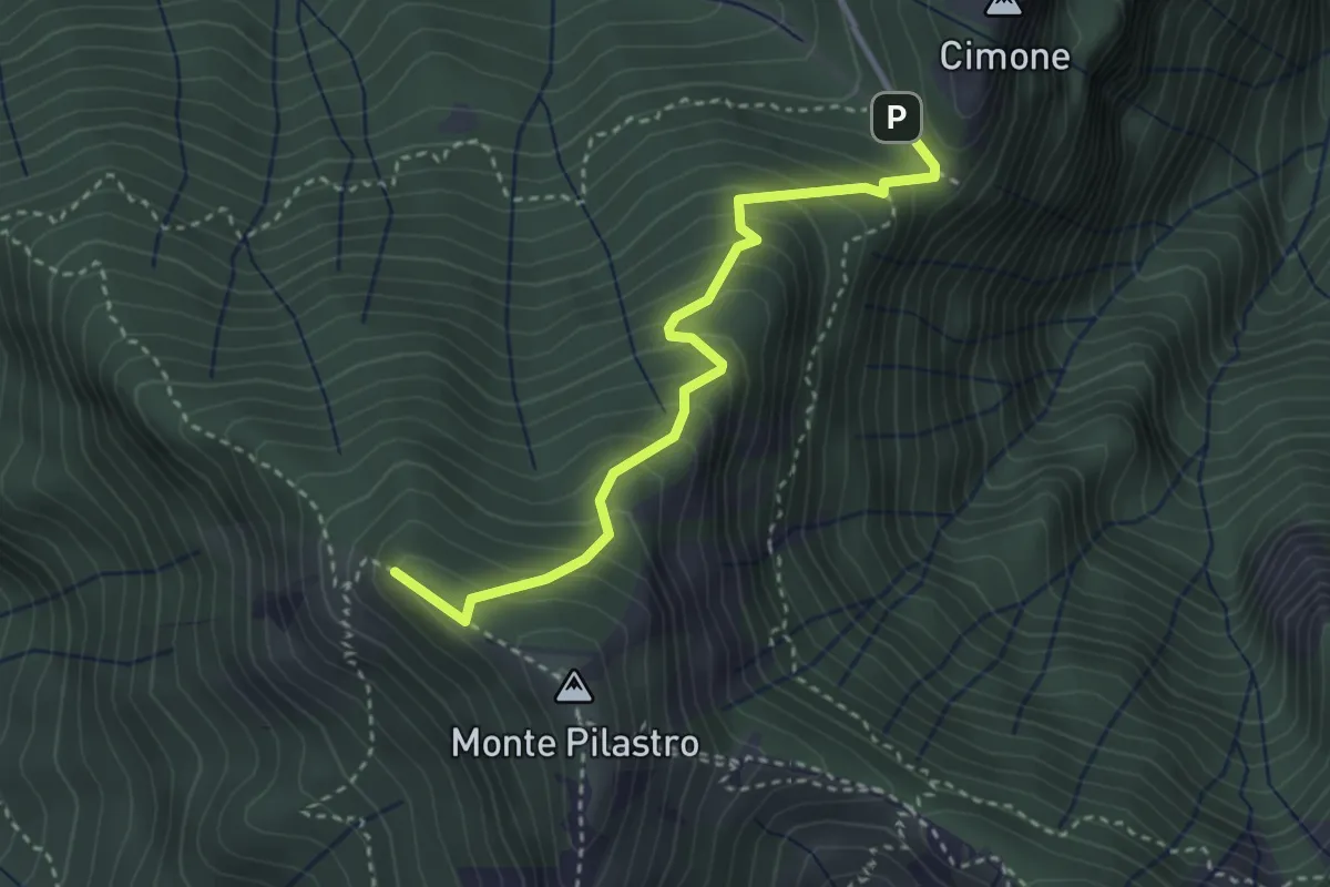
Medium · Summit
Vo di Moncodeno - Monte Croce
3.2 km · ↑ 355 m · 1 h 32 min · 14 km away
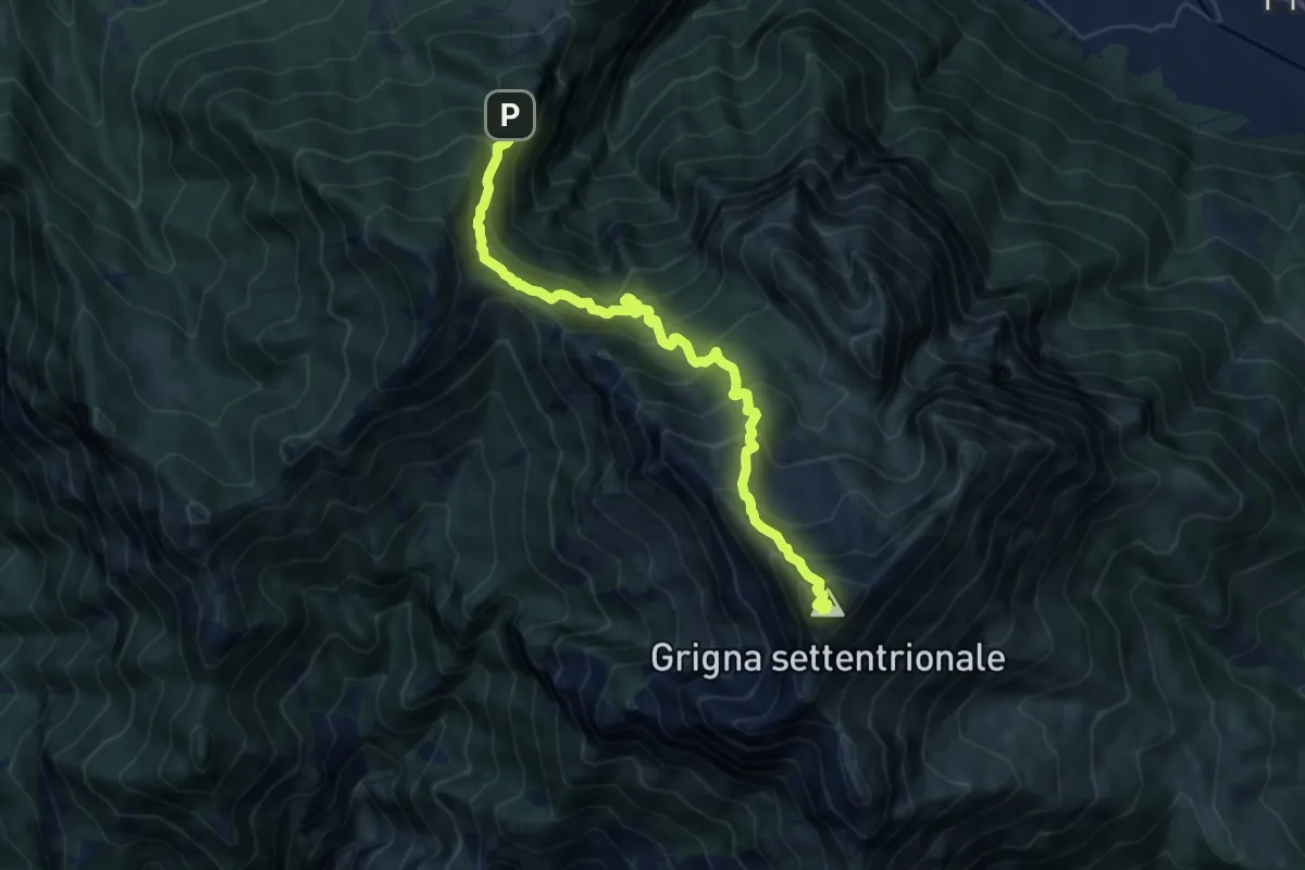
Demanding · Summit
Esino - Rifugio Brioschi
10.7 km · ↑ 1273 m · 5 h 16 min · 14 km away
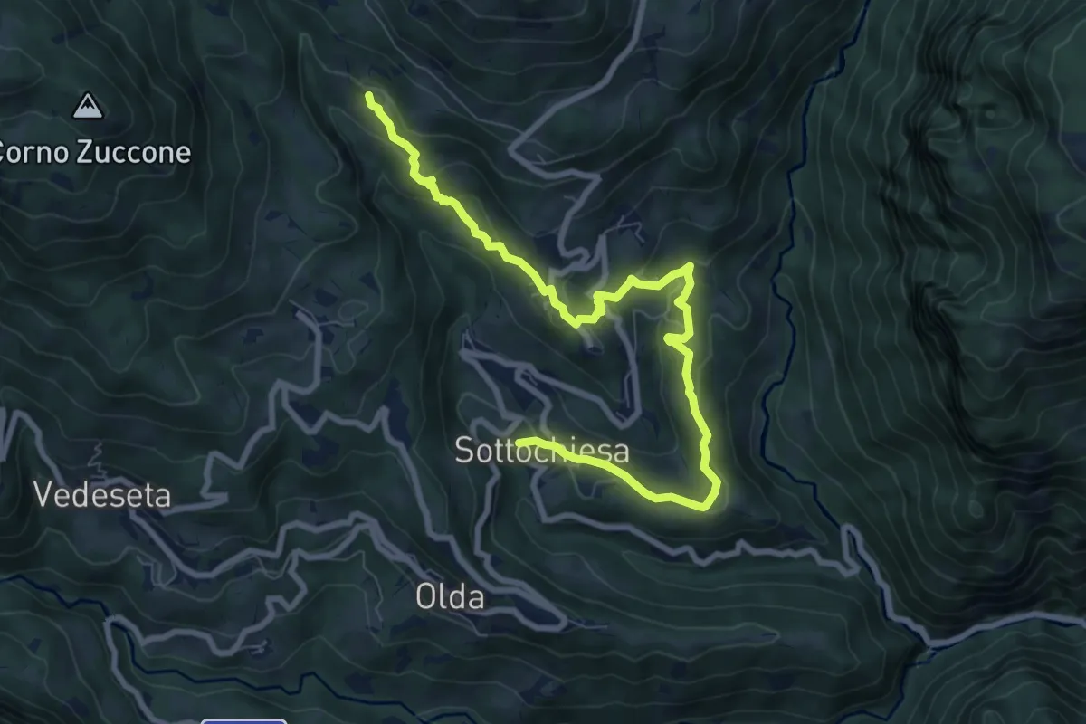
Medium · Trail
Via del paesaggio sacro e della storia
9.1 km · ↑ 403 m · 3 h 2 min · 14 km away
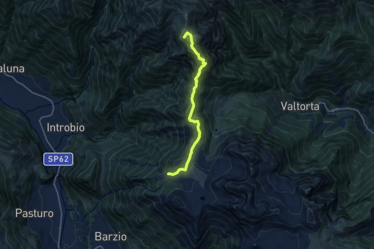
Demanding · Summit
Piani di Bobbio – Rifugio Grassi
10.4 km · ↑ 611 m · 3 h 47 min · 14 km away
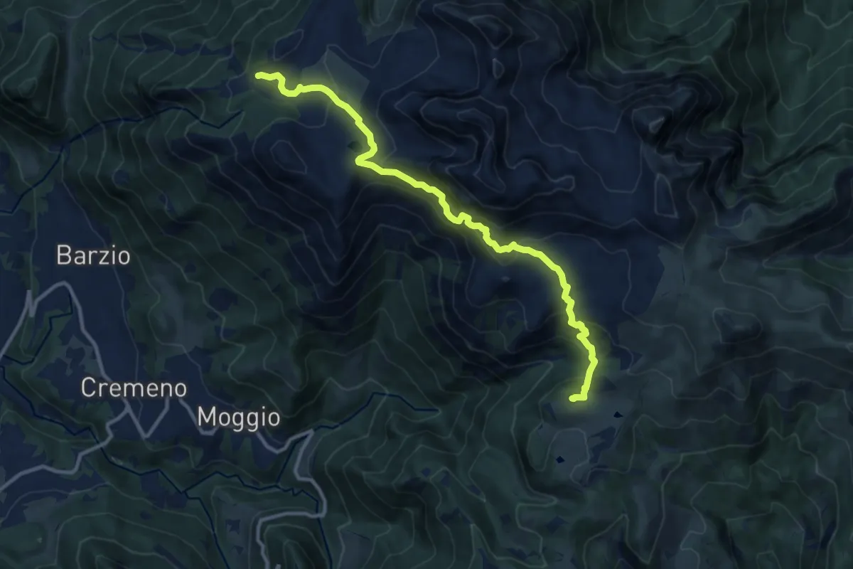
Expert · Cabin
Piani di Bobbio (funivia) – Rifugio Sassi Castelli
11.9 km · ↑ 765 m · 4 h 28 min · 14 km away
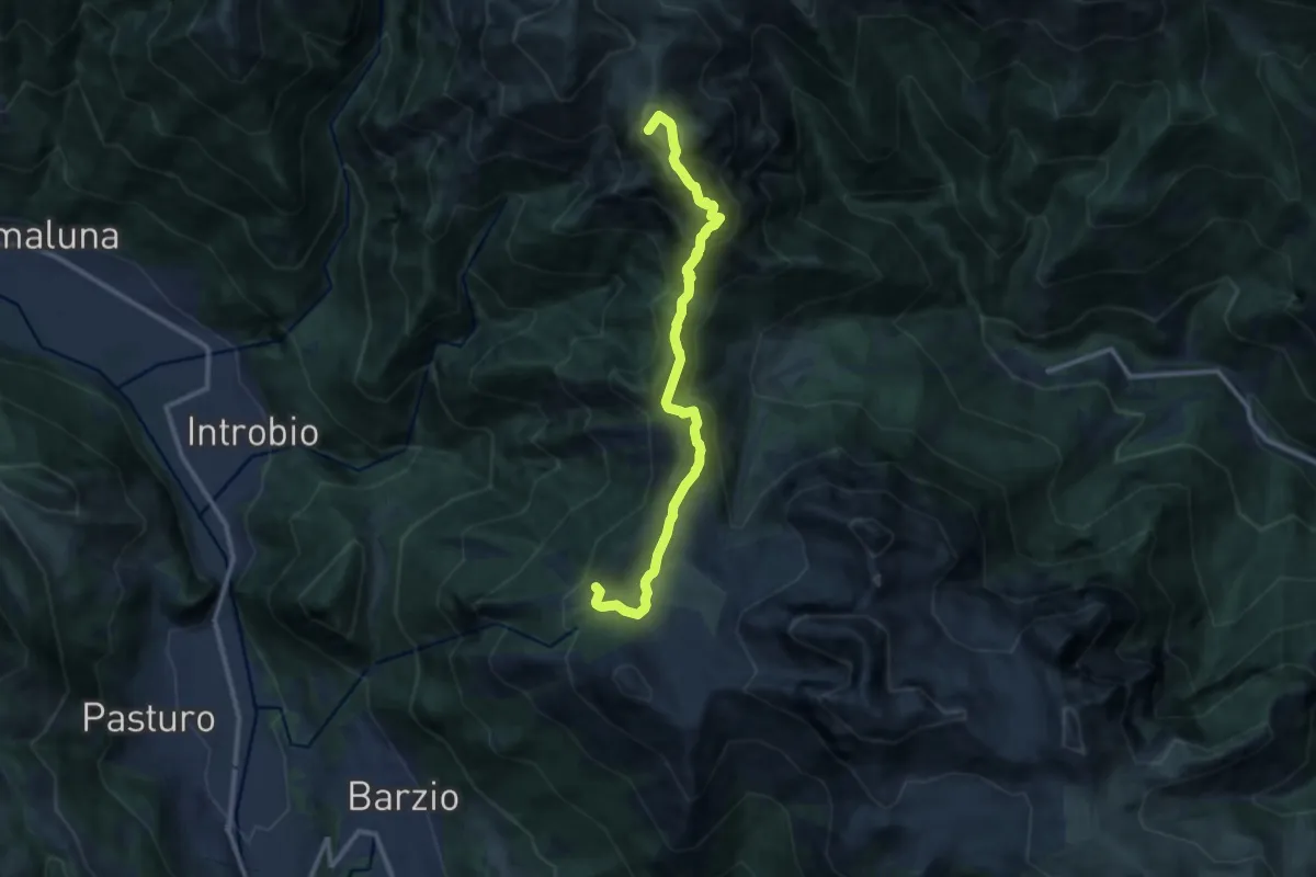
Demanding · Summit
Sentiero dei Laghi Alto - Tappa 1
11.2 km · ↑ 623 m · 4 h · 14 km away
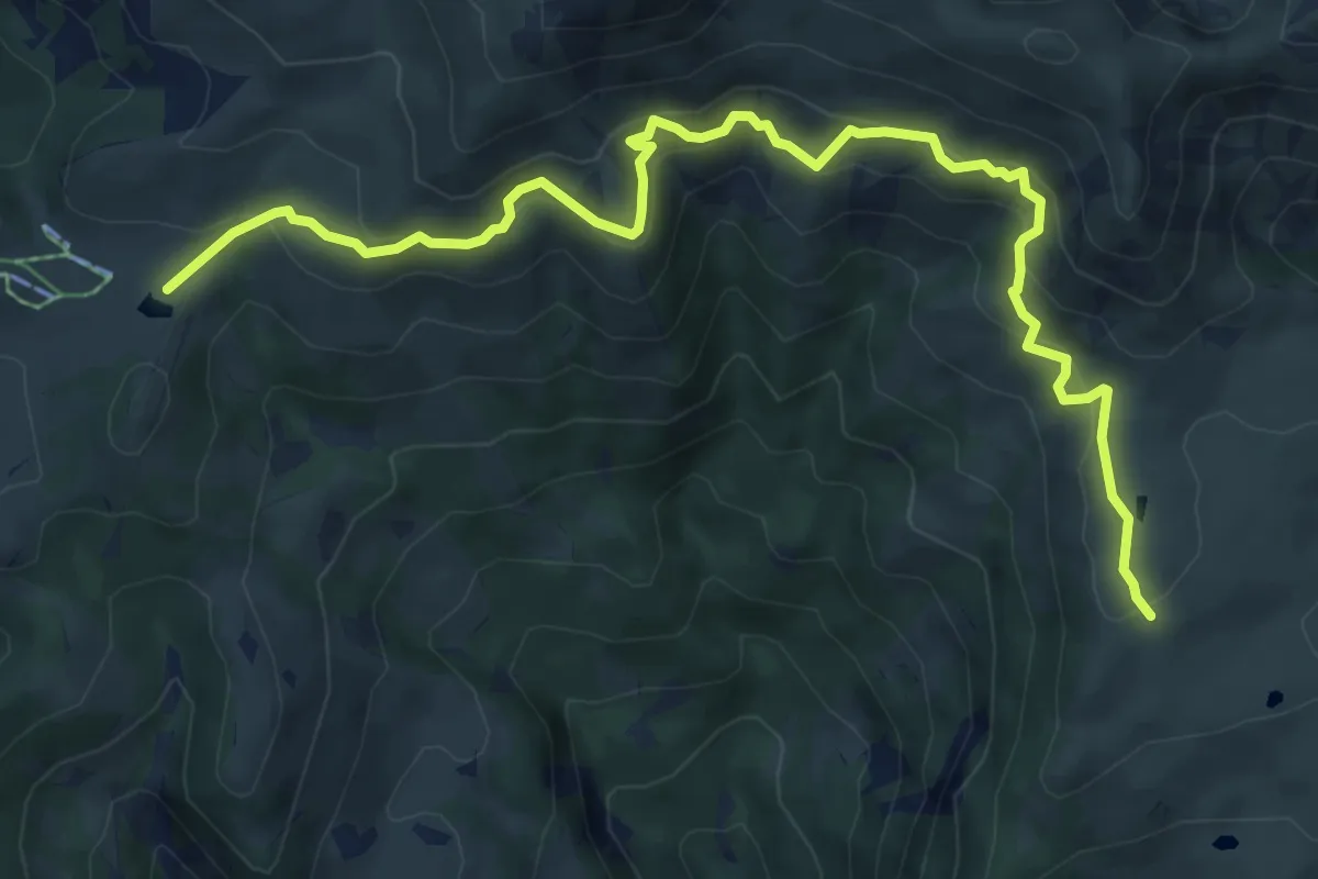
Medium · Cabin
Rifugio Angelo Gherardi – Piani d'Artavaggio
8.6 km · ↑ 584 m · 3 h 18 min · 14 km away
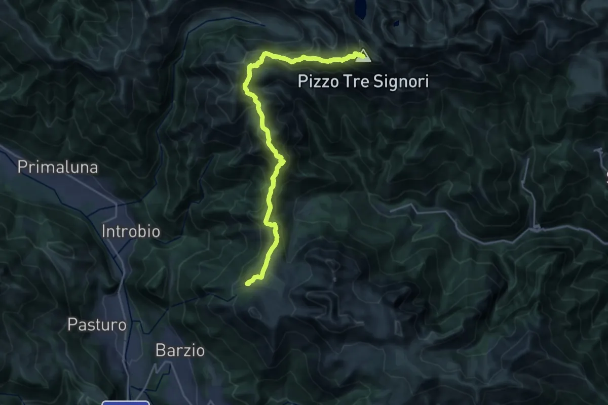
Expert · Summit
Alta Via della Valsassina - Tappa 3
20.3 km · ↑ 1329 m · 7 h 40 min · 14 km away
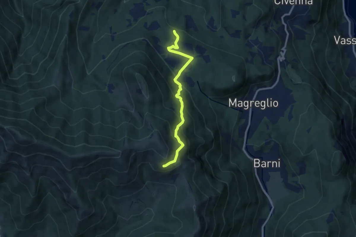
Medium · Trail
Pietra Luna – Innesto Dorsale
6.7 km · ↑ 501 m · 2 h 41 min · 14 km away
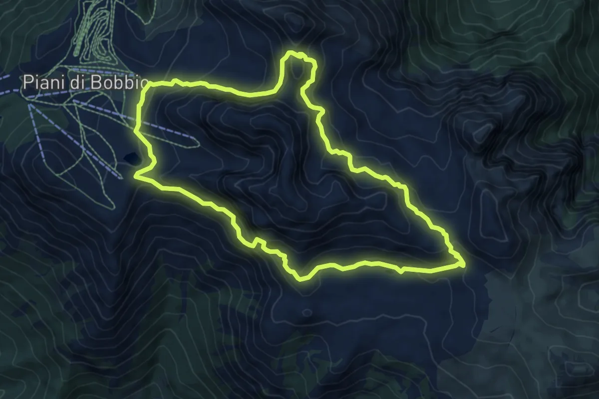
Expert · Trail
Anello dei Campelli
8.4 km · ↑ 569 m · 3 h 20 min · 14 km away
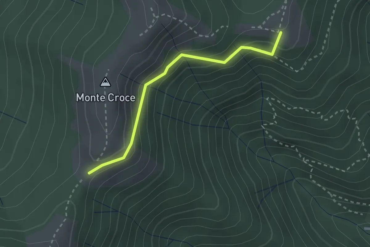
Medium · Summit
Ca' del Boschet – Bocchetta di Caglio
2.3 km · ↑ 128 m · 49 min · 14 km away
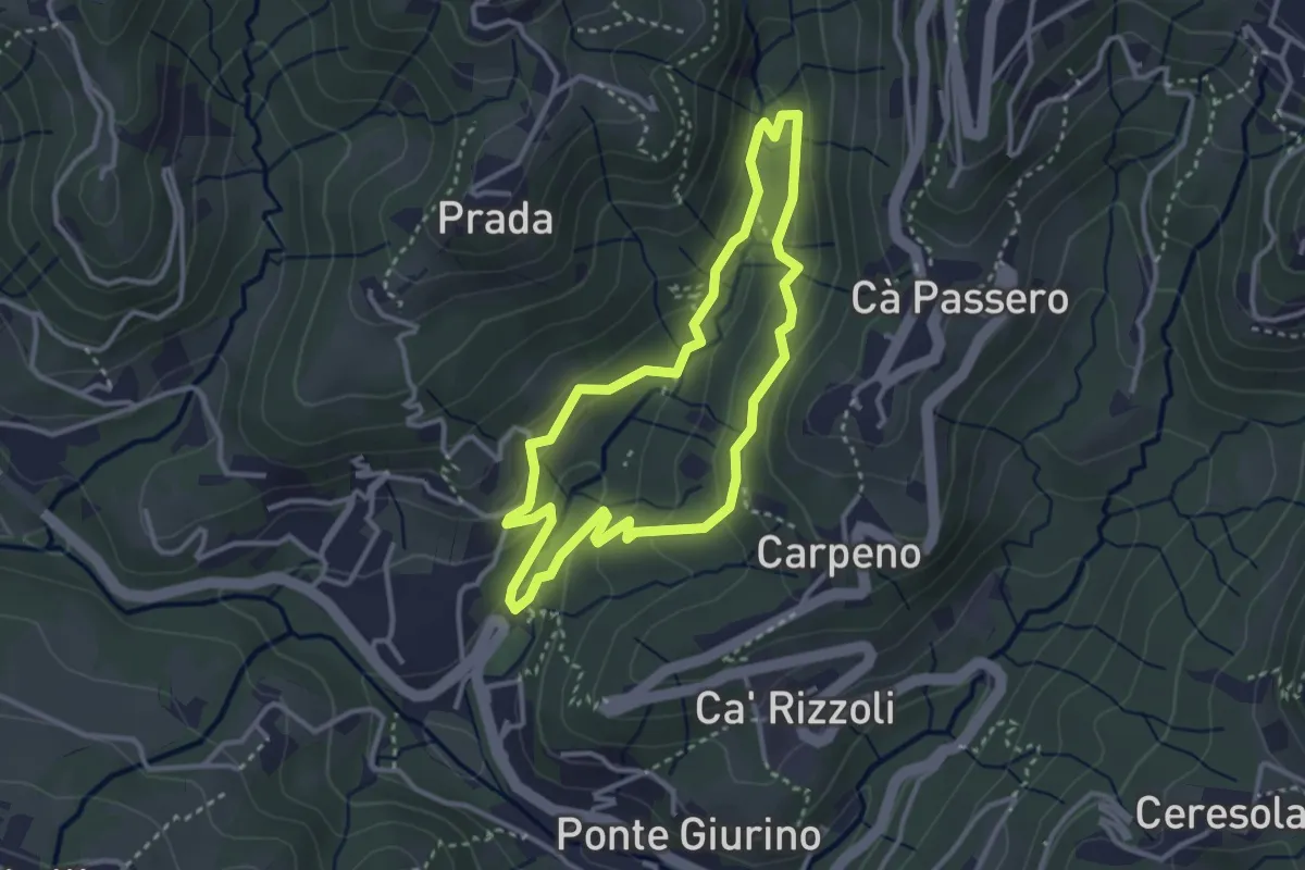
Easy · Trail
Valle del Brunone Percorso C1
3.0 km · ↑ 111 m · 59 min · 14 km away
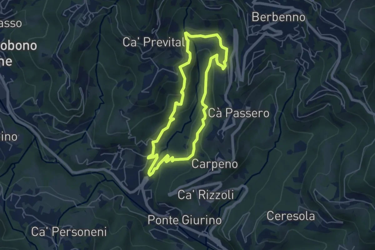
Easy · Trail
Valle del Brunone Percorso C
4.4 km · ↑ 243 m · 1 h 38 min · 14 km away
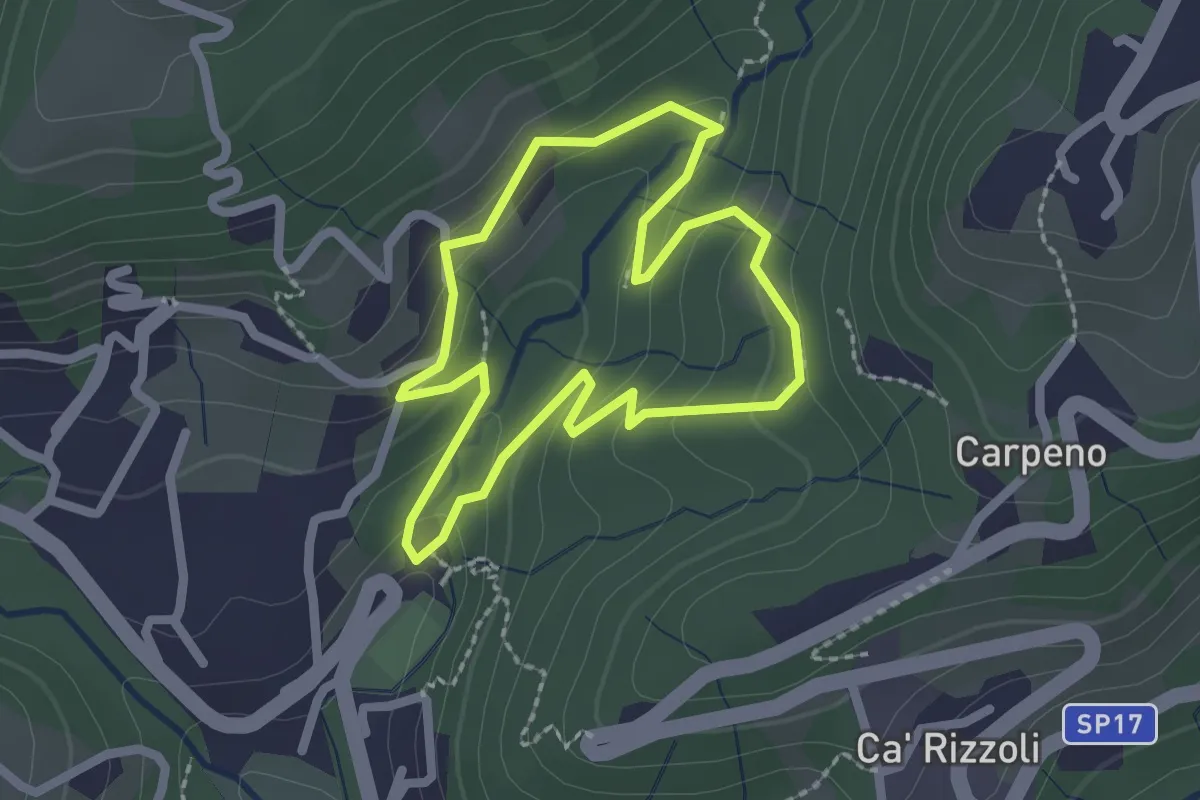
Easy · Trail
Valle del Brunone Percorso B
2.0 km · ↑ 92 m · 41 min · 14 km away
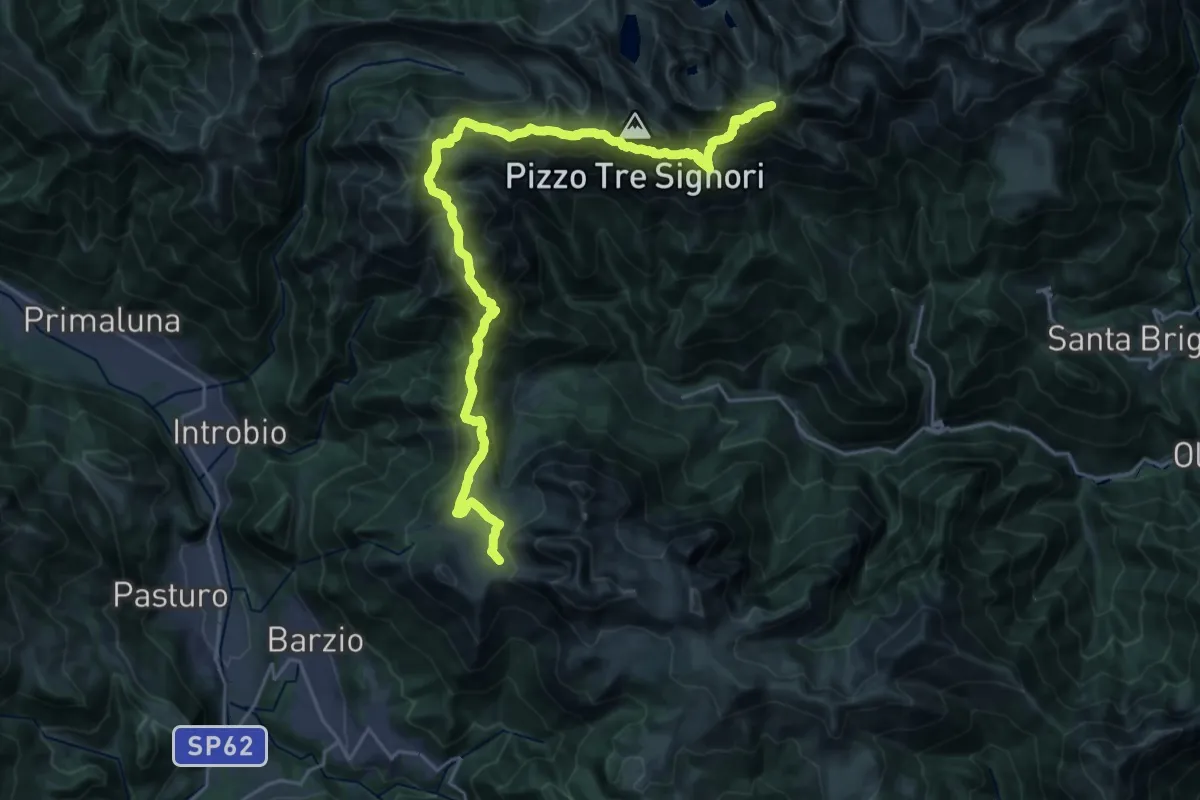
Demanding · Summit
Sentiero delle Orobie Occidentali - Tappa 2
27.8 km · ↑ 1797 m · 10 h 27 min · 14 km away
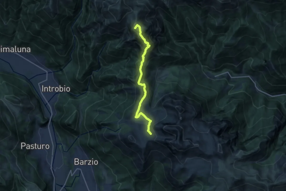
Demanding · Summit
101 - Tappa 3
12.2 km · ↑ 639 m · 4 h 16 min · 14 km away
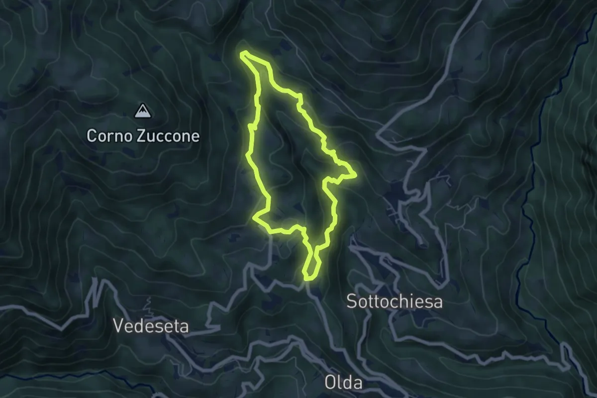
Medium · Trail
Sentiero della Cultura Casearia
5.4 km · ↑ 277 m · 1 h 57 min · 14 km away
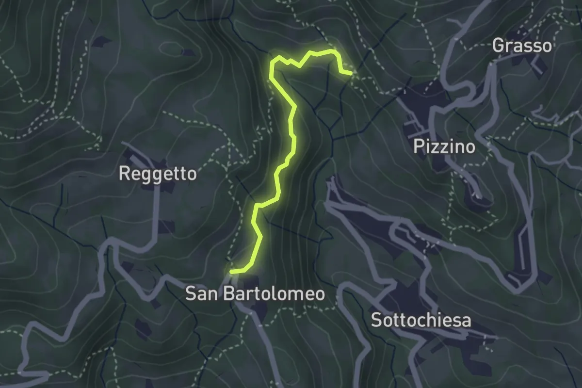
Medium · Trail
San Bartolomeo – Santuario di Salzana
2.8 km · ↑ 154 m · 59 min · 14 km away
Medium · Trail
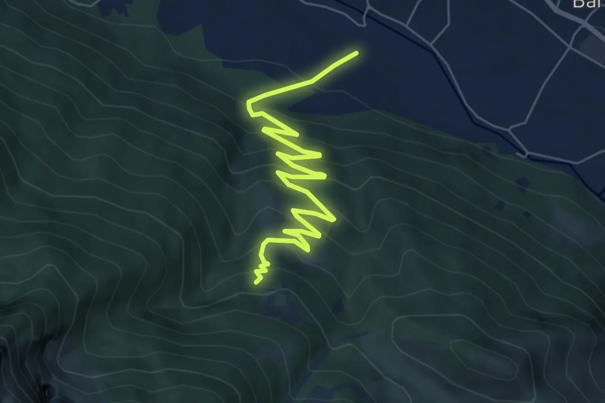
Sentiero 35: Primaluna - Rifugio Riva
7.2 km · ↑ 476 m · 2 h 44 min · 14 km away
Medium · Trail
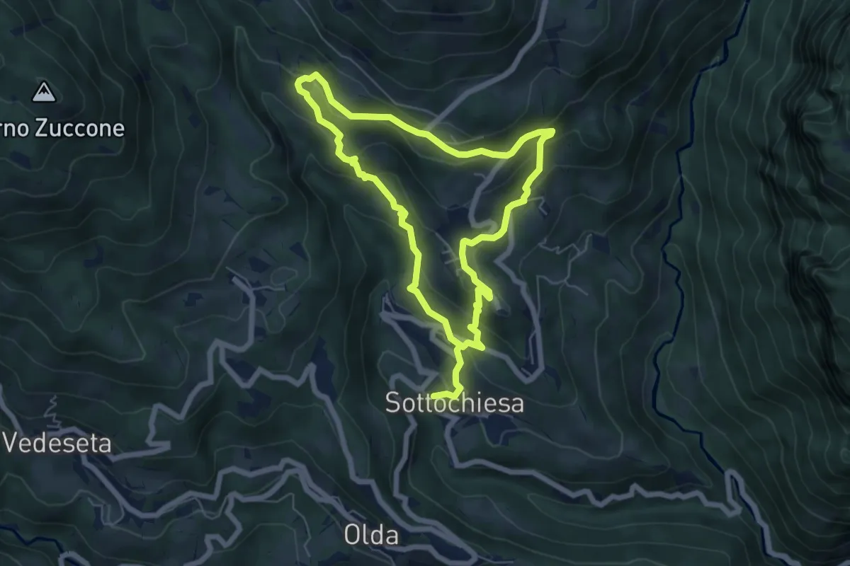
Via delle architetture rurali
10.8 km · ↑ 608 m · 3 h 52 min · 14 km away
Medium · Trail
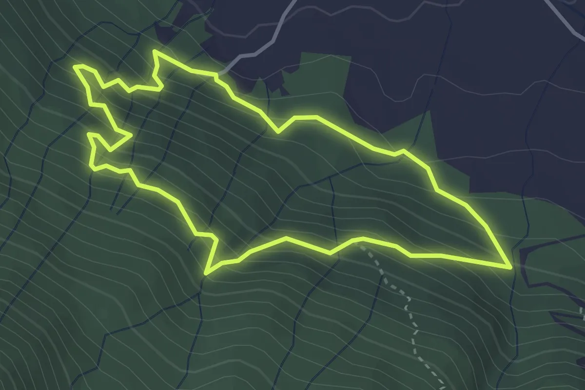
Sentiero delle Miniere
3.2 km · ↑ 341 m · 1 h 33 min · 14 km away
Easy · Trail
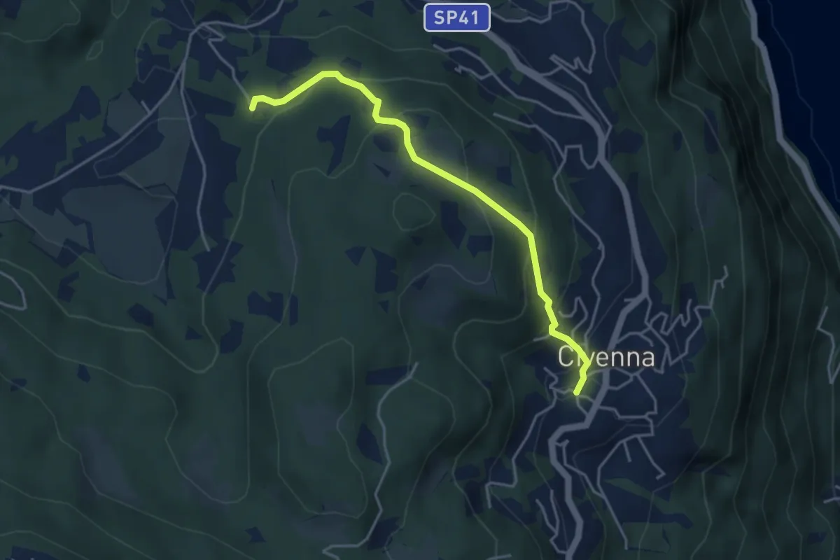
Civenna – Villa Mora (Bellagio)
4.0 km · ↑ 250 m · 1 h 29 min · 14 km away
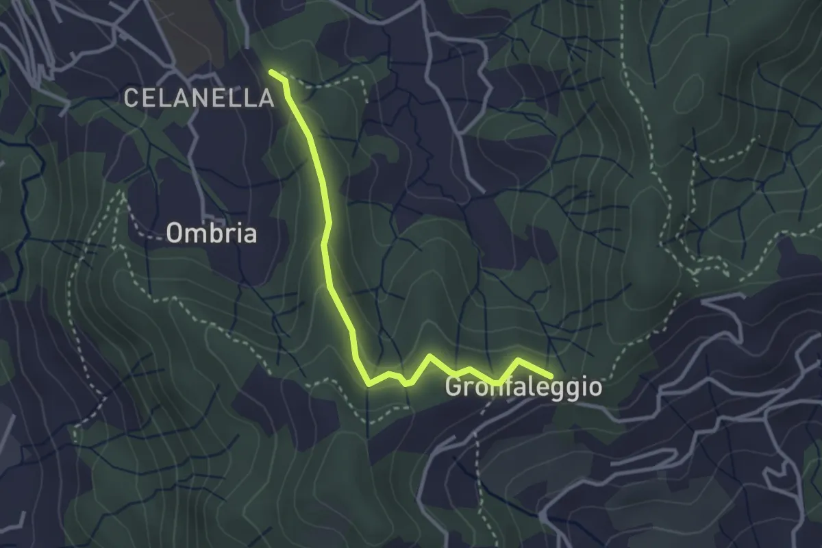
Easy · Trail
Celana – Gronfaleggio
2.9 km · ↑ 126 m · 58 min · 14 km away
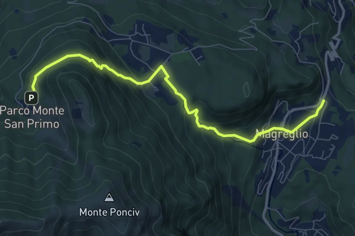
Expert · Trail
Madonna del Ghisallo (Magreglio) – Parco Monte San Primo
7.9 km · ↑ 460 m · 2 h 52 min · 14 km away
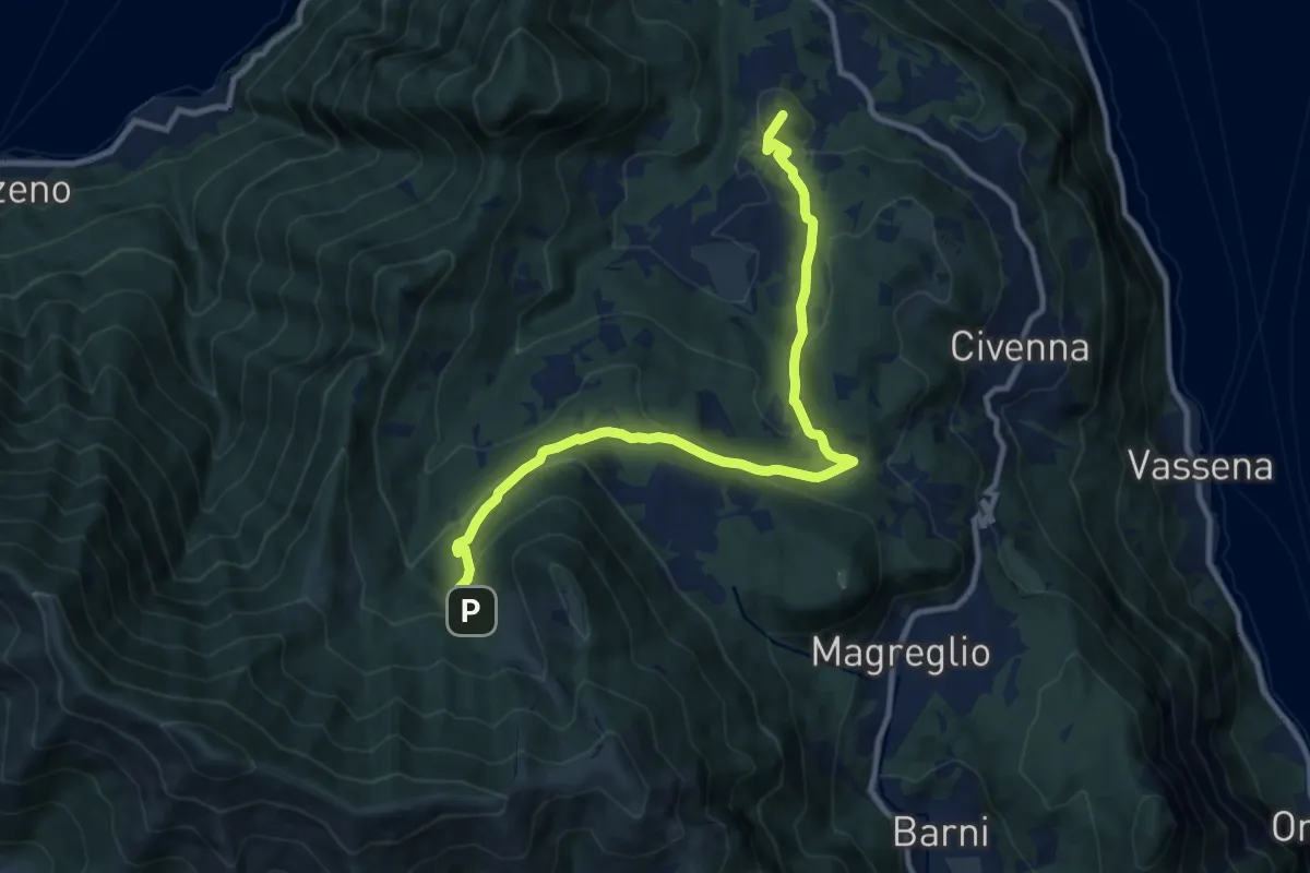
Medium · Summit
Innesto Sentiero del Tivano Monte Gamasca – Parco Monte San Primo
11.4 km · ↑ 444 m · 3 h 39 min · 14 km away
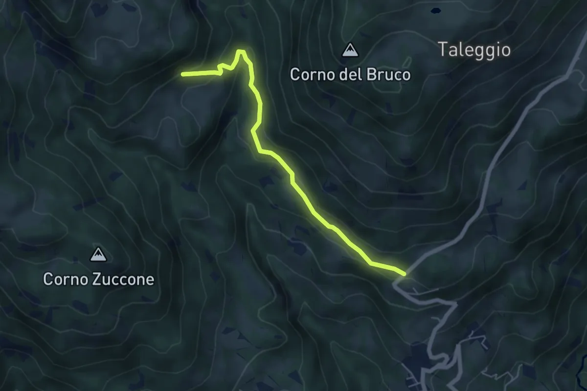
Medium · Trail
Via Arighiglio (Pizzino) – Incrocio 150
5.0 km · ↑ 203 m · 1 h 37 min · 15 km away
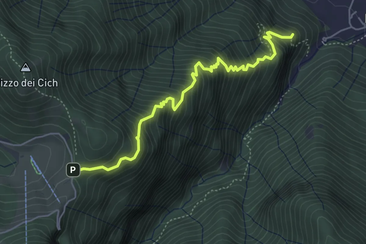
Medium · Summit
Sentiero 38: Sentiero della Scaletta
5.0 km · ↑ 721 m · 2 h 45 min · 15 km away
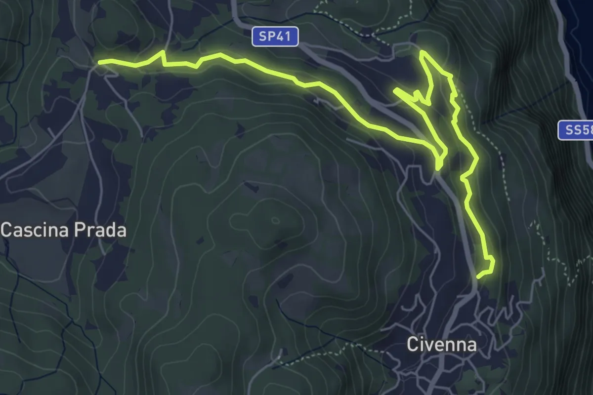
Easy · Trail
Belvedere delle Grigne (Civenna) – Regina Pacis (Bellagio)
7.5 km · ↑ 267 m · 2 h 21 min · 15 km away
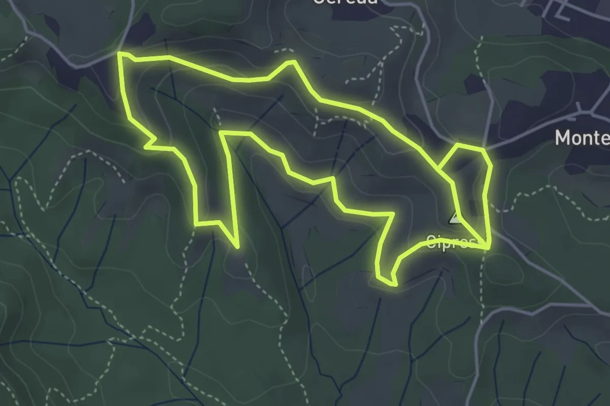
Easy · Summit
Percorso dei prati magri
4.5 km · ↑ 154 m · 1 h 28 min · 15 km away
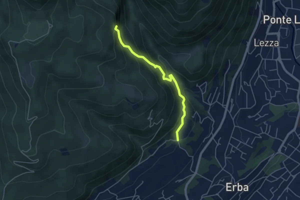
Demanding · Trail
C.na Ginocchio – Buco del Piombo
3.7 km · ↑ 335 m · 1 h 36 min · 15 km away
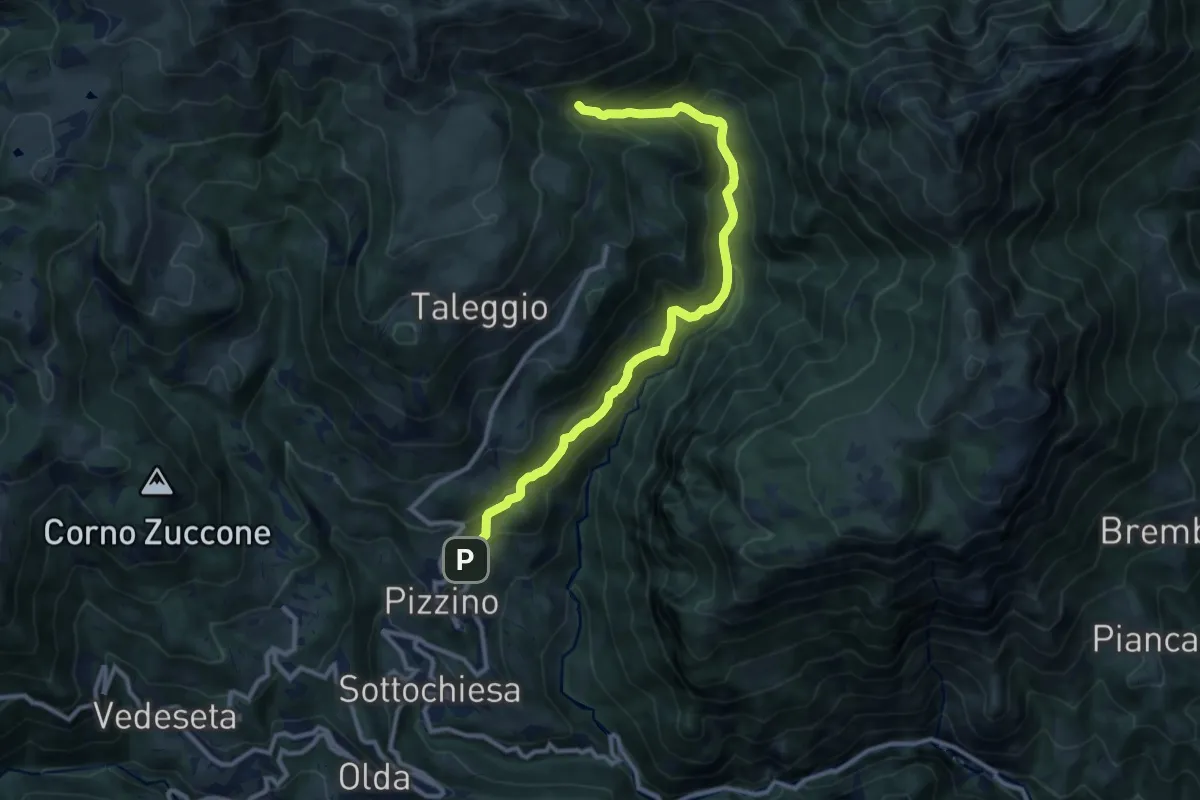
Medium · Trail
Grasso – Incrocio 153
11.3 km · ↑ 739 m · 4 h 16 min · 15 km away
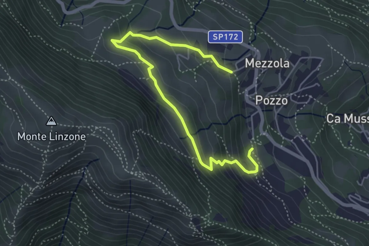
Medium · Trail
Sentiero dei Pascoli
5.2 km · ↑ 310 m · 1 h 54 min · 15 km away
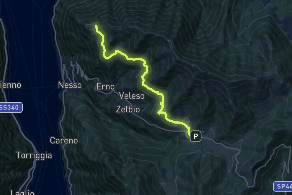
Medium · Trail
Pian del Tivano – Cresta NW M. Colmenacco
13.2 km · ↑ 610 m · 4 h 26 min · 15 km away
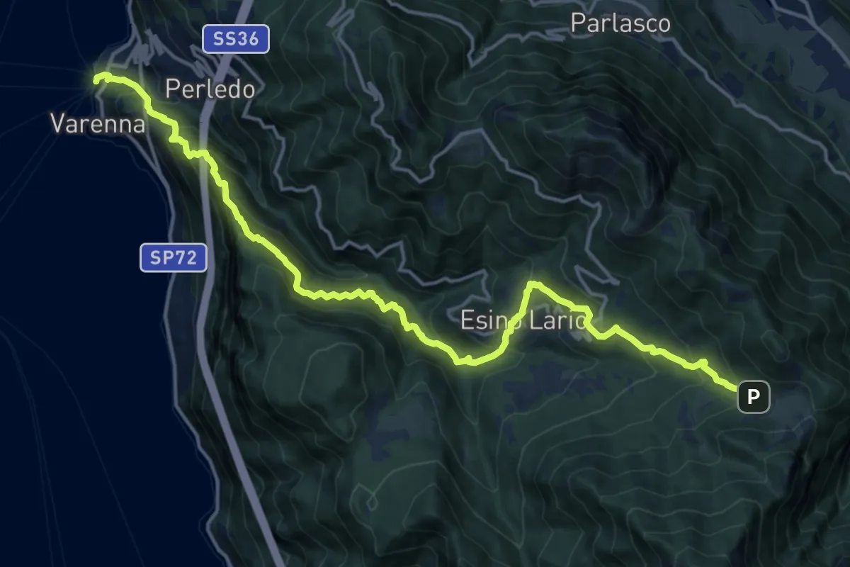
Demanding · Trail
Varenna – Alpe Cainallo
18.0 km · ↑ 1572 m · 7 h 40 min · 15 km away