Trails near Livorno
43 hikes starting within 15 km, nearest first.
Nearest first
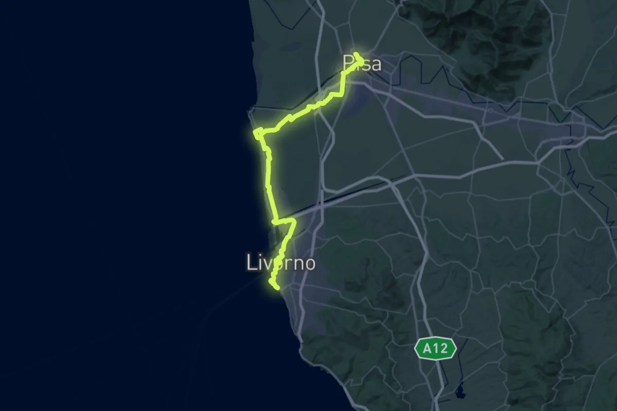
Demanding · Trail
Il Cammino di San Jacopo - Tappa 6
36.7 km · ↑ 74 m · 9 h 19 min · 2 km away
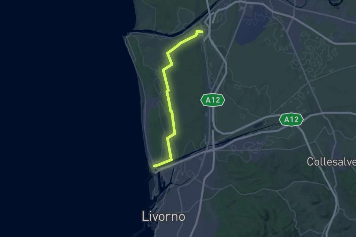
Demanding · Trail
Sentiero dei Tomboli
28.2 km · ↑ 36 m · 6 h 44 min · 4 km away
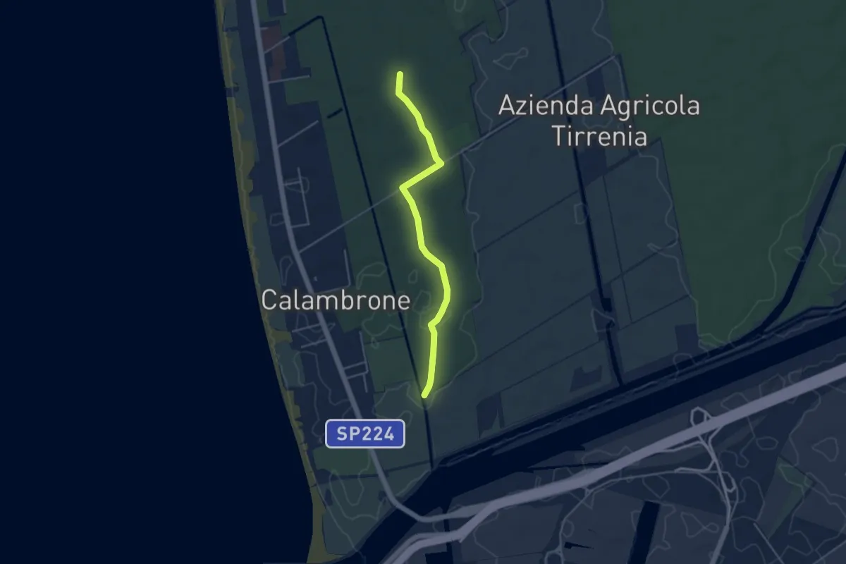
Easy · Trail
Raccordo 008 – Raccordo 001
4.2 km · ↑ 21 m · 1 h 3 min · 4 km away
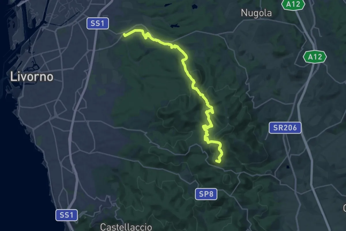
Demanding · Summit
Traversata dei Monti Livornesi
25.3 km · ↑ 714 m · 7 h 31 min · 5 km away
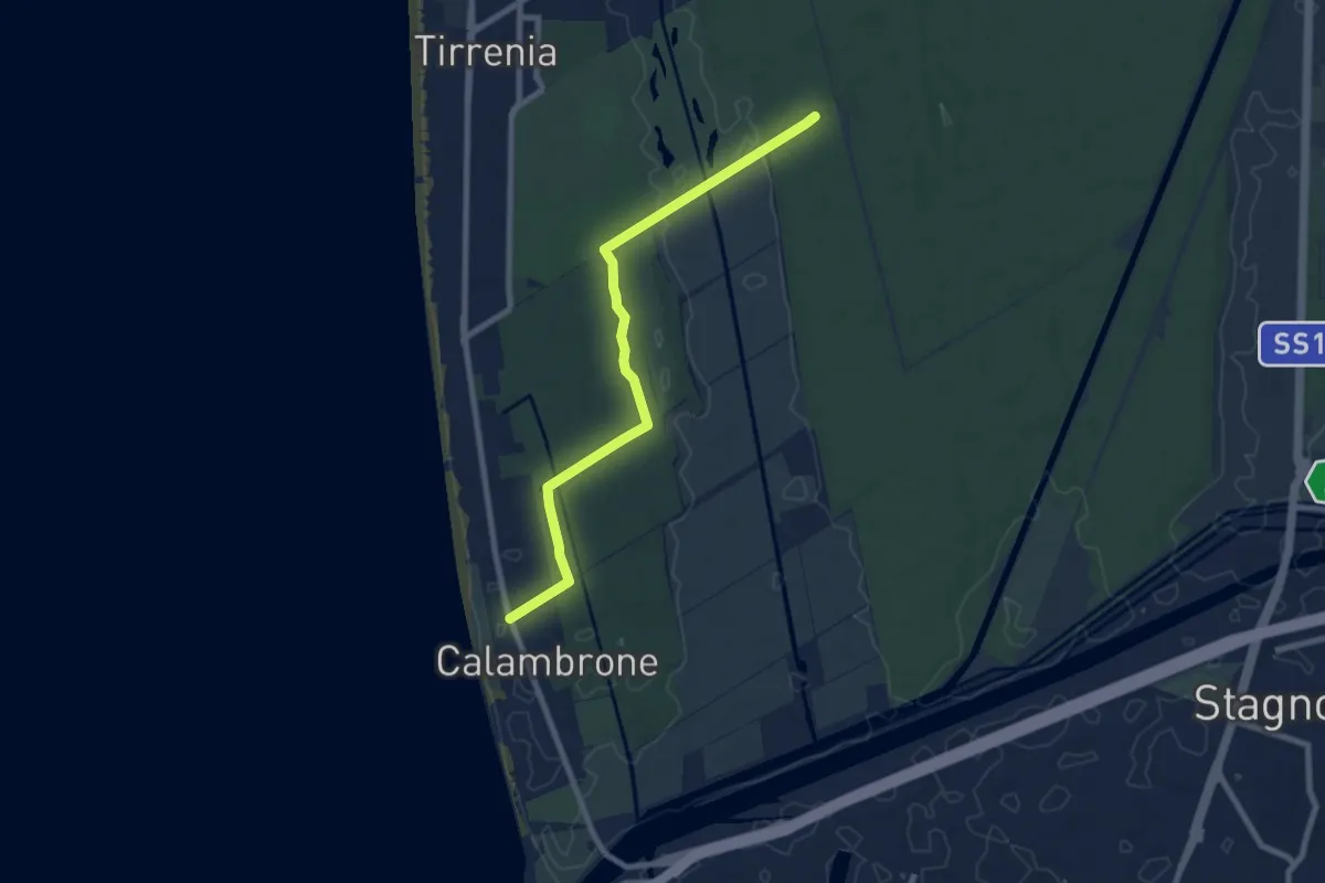
Medium · Trail
Capanne bruciate – Calambrone
8.6 km · ↑ 53 m · 2 h 9 min · 5 km away
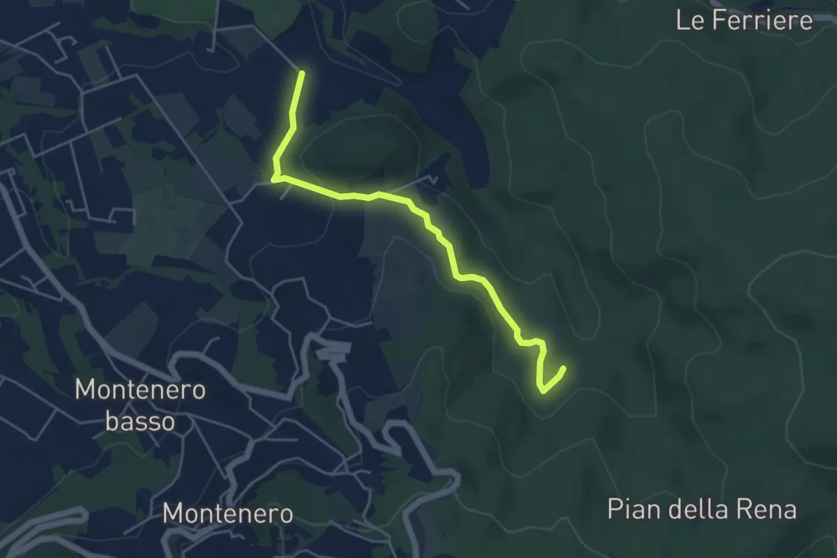
Easy · Trail
Via di Monterotondo – Le Matite (sent. 136)
4.6 km · ↑ 129 m · 1 h 22 min · 6 km away
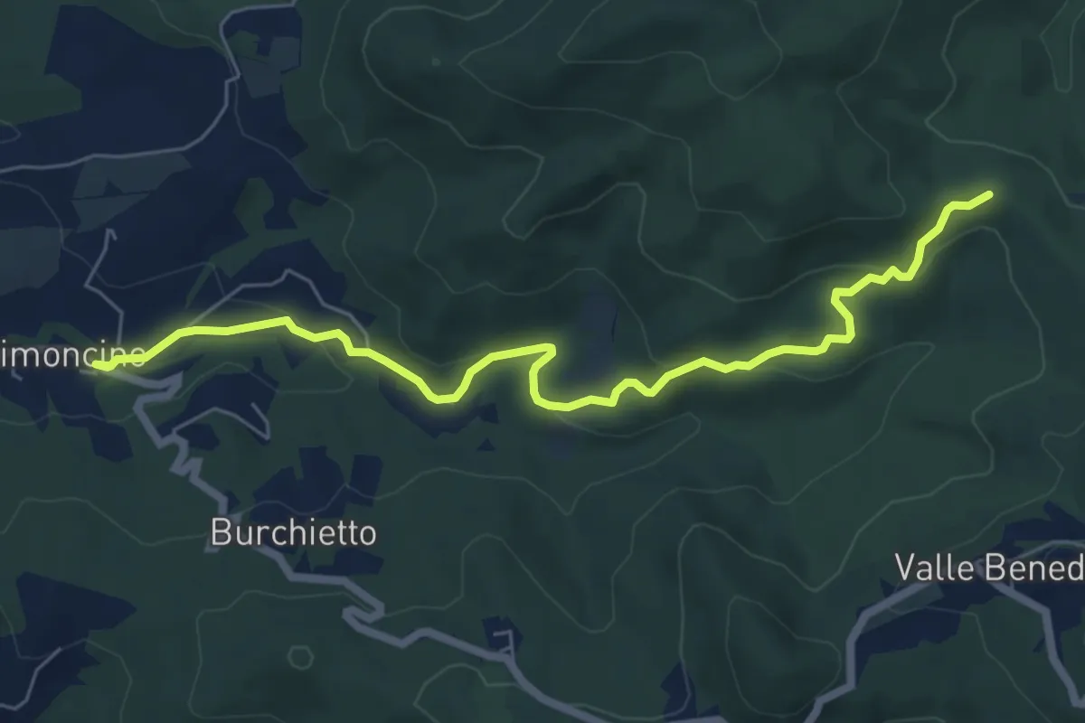
Easy · Trail
Via delle Vallicelle
7.2 km · ↑ 231 m · 2 h 12 min · 6 km away
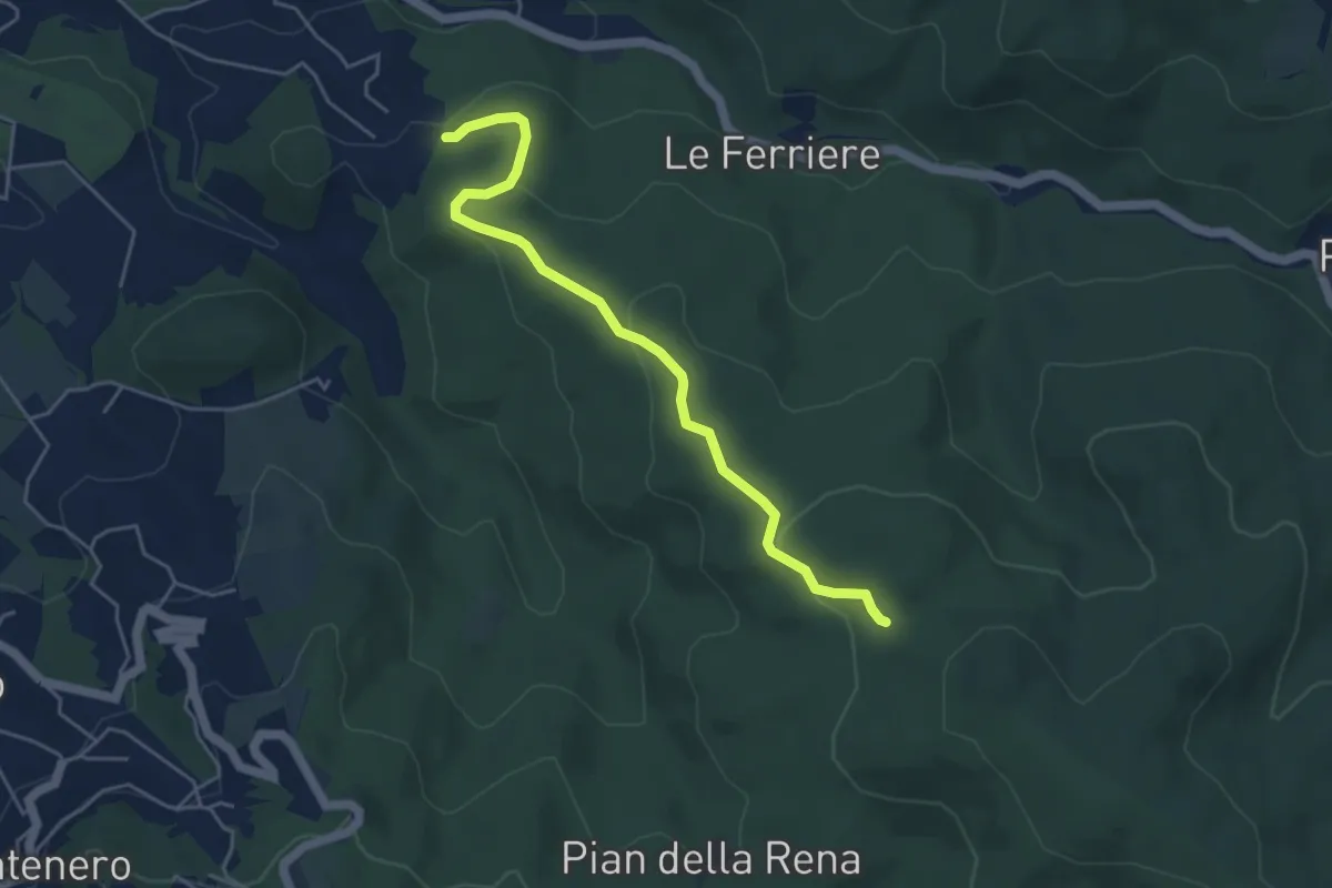
Easy · Trail
Podere del Puntone – Sentiero 140
5.1 km · ↑ 180 m · 1 h 36 min · 6 km away
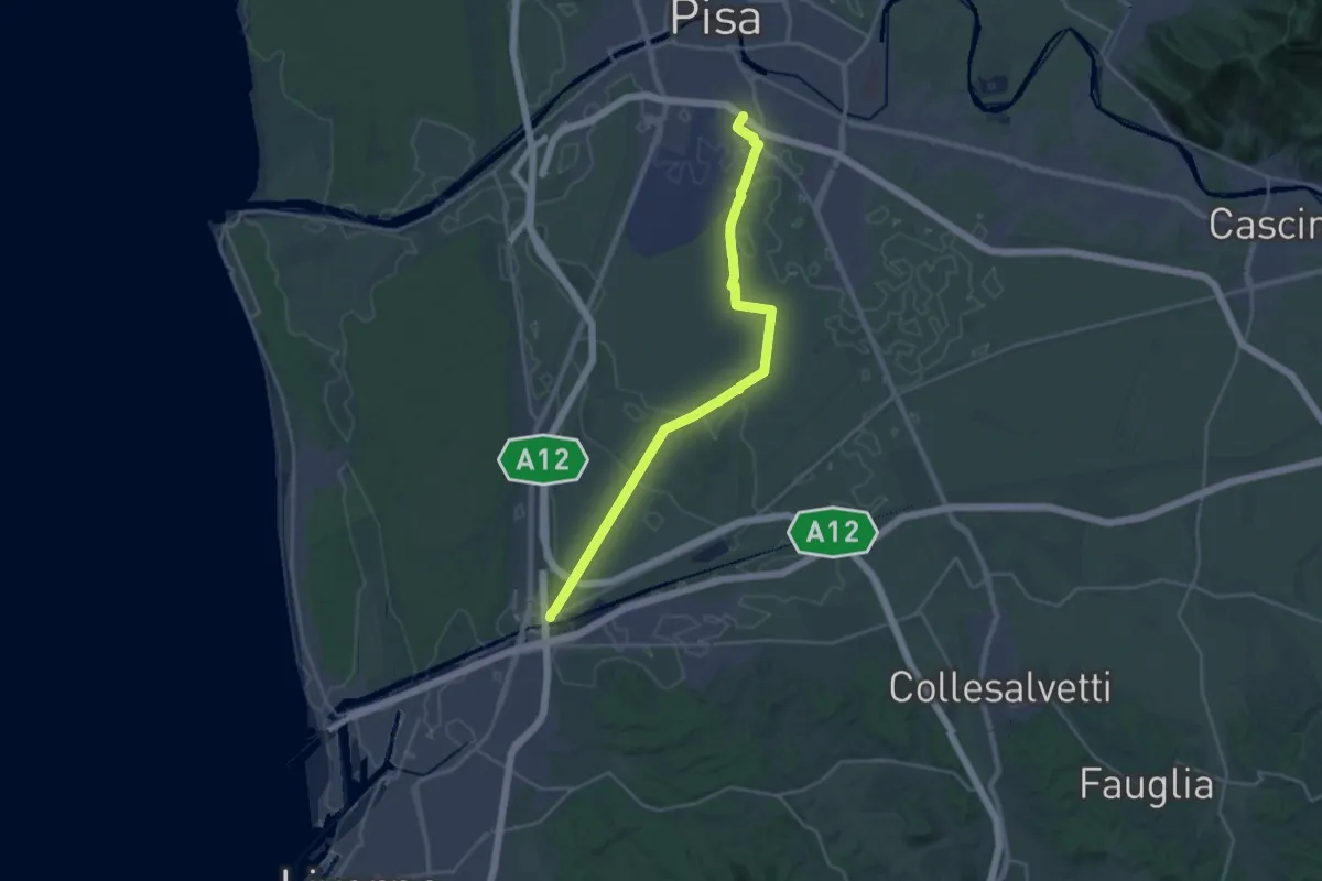
Demanding · Trail
Sentiero Guglielmo Marconi
27.2 km · ↑ 37 m · 6 h 30 min · 7 km away
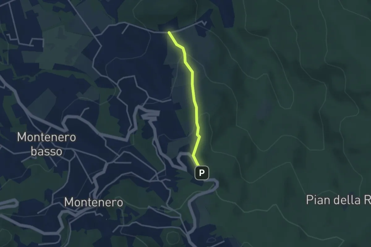
Easy · Trail
Via de L'Ongrilli – Via della Porcigliana
2.4 km · ↑ 112 m · 48 min · 7 km away
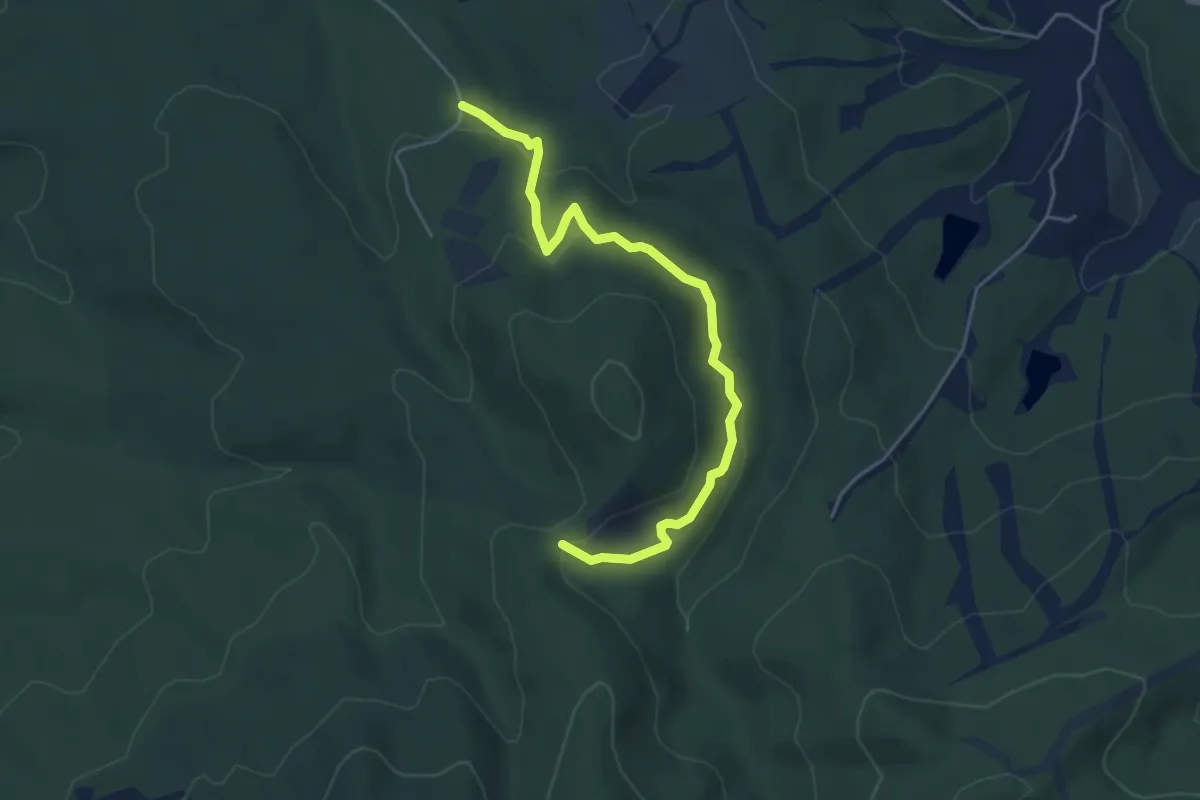
Easy · Trail
Cascatella Infernaccio – Crocione
5.0 km · ↑ 246 m · 1 h 43 min · 7 km away
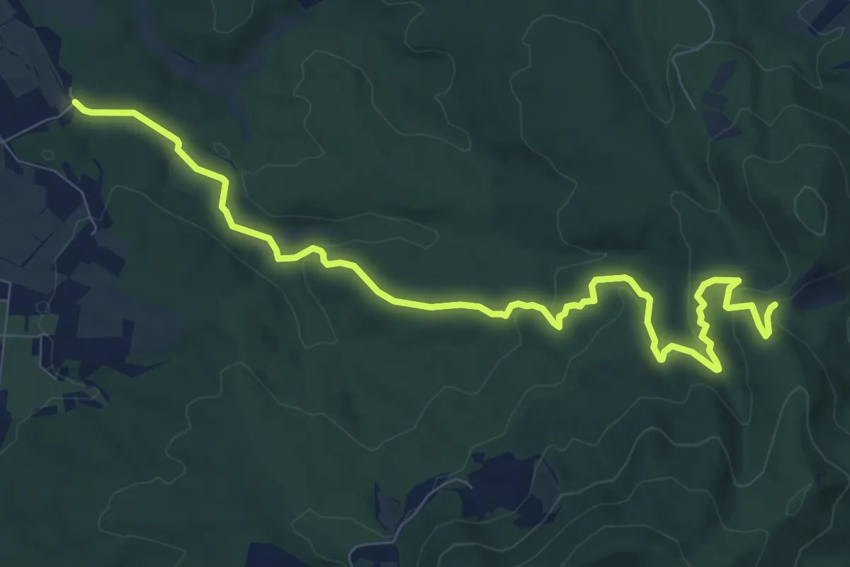
Medium · Trail
Bagnetti – Il Crocione
11.1 km · ↑ 277 m · 3 h 13 min · 8 km away
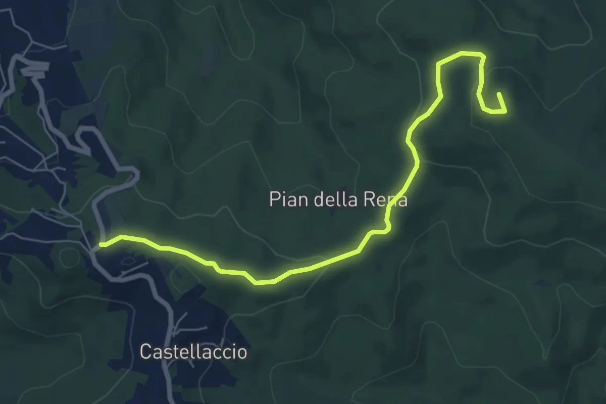
Easy · Summit
Castellaccio – Palazzine
6.6 km · ↑ 164 m · 1 h 55 min · 8 km away
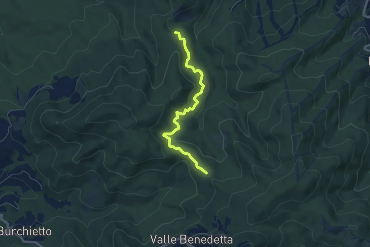
Easy · Trail
Crocione – Podere Santa Maria
5.8 km · ↑ 224 m · 1 h 51 min · 8 km away
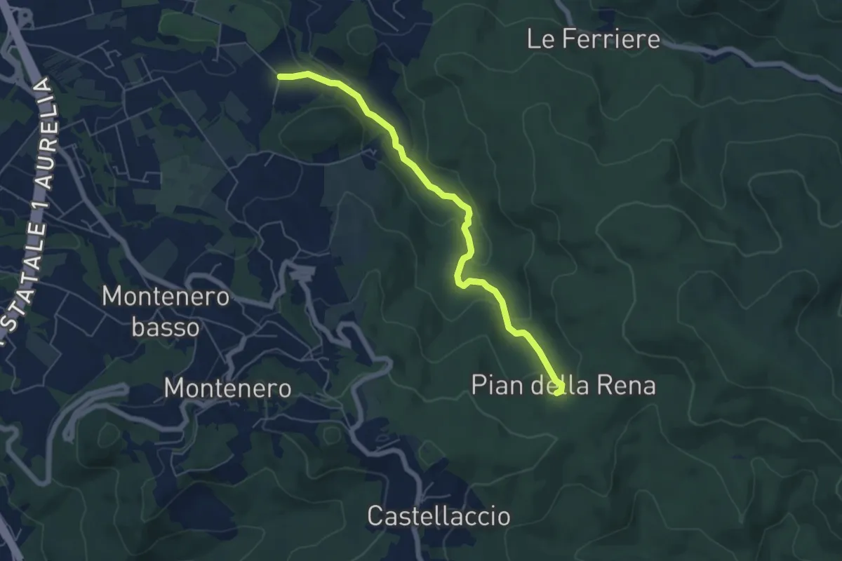
Easy · Trail
Via di Monterotondo – Pian della Rena
6.0 km · ↑ 155 m · 1 h 45 min · 8 km away
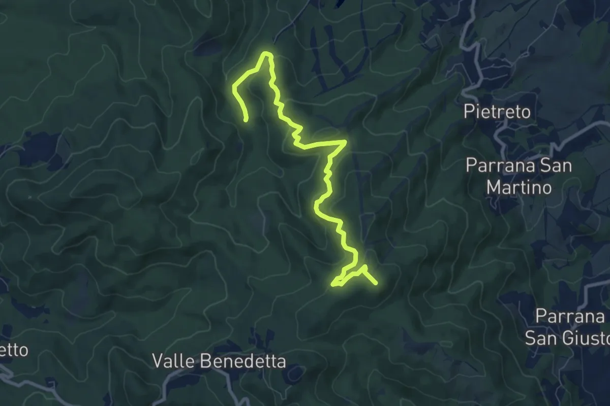
Medium · Summit
Guado Ugione (sent. 100) – Poggio ai 3 Mulini
9.3 km · ↑ 415 m · 3 h 6 min · 8 km away
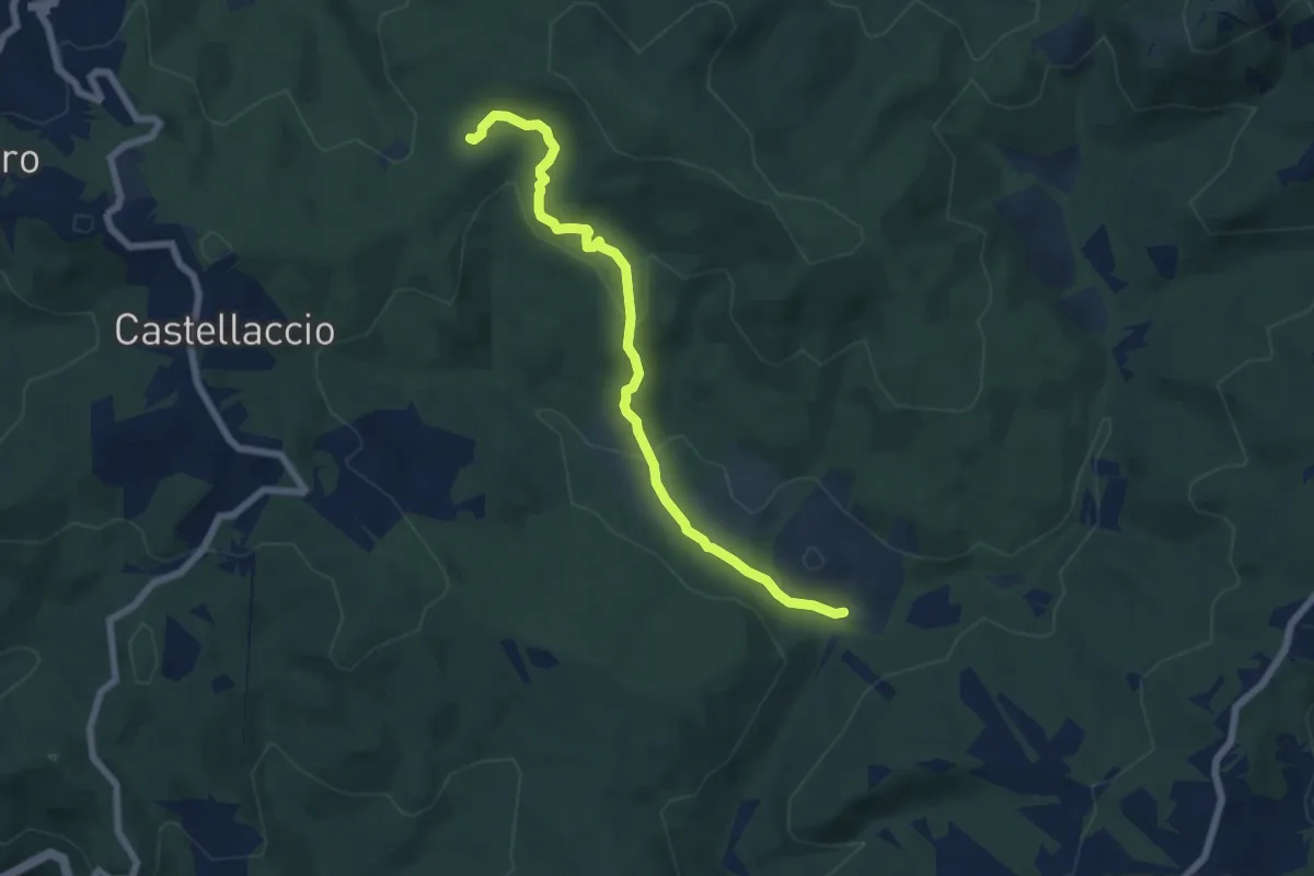
Easy · Trail
Sent. 140 (Pian della Rena) – Podere del Gorgo
7.0 km · ↑ 214 m · 2 h 6 min · 8 km away
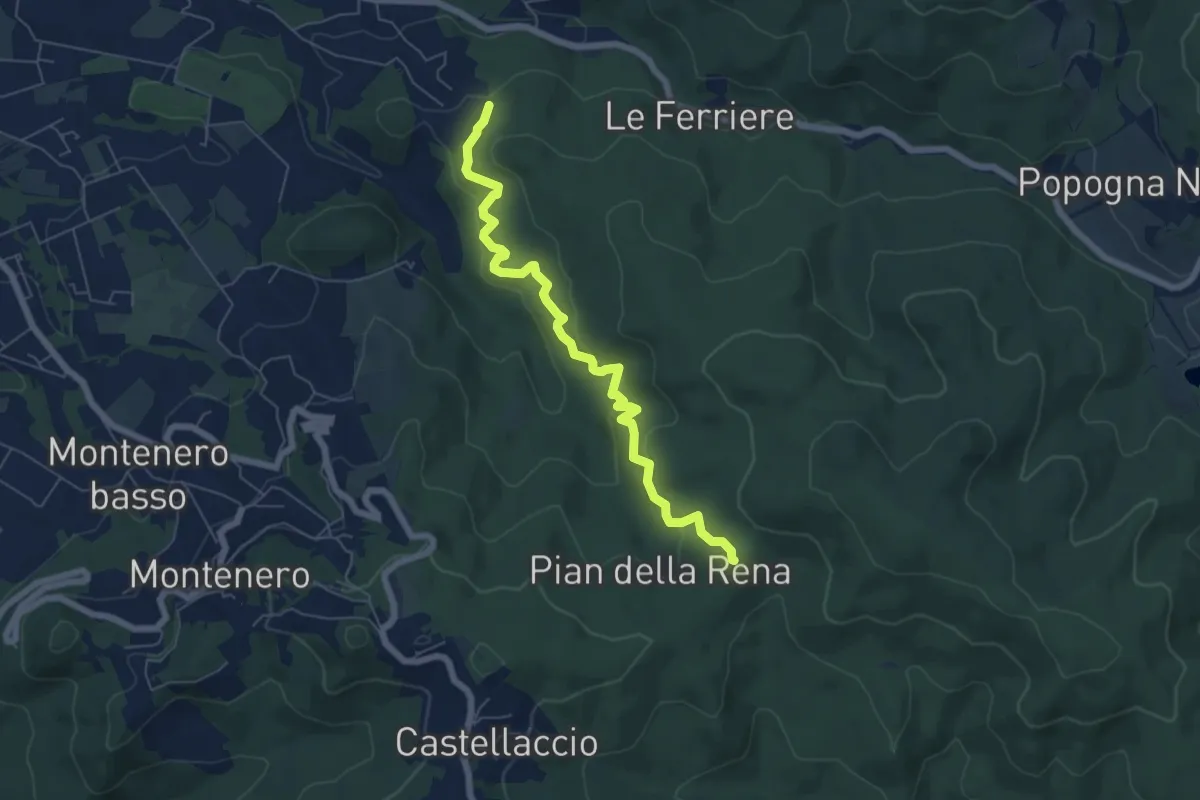
Easy · Trail
Sperticaia
6.8 km · ↑ 301 m · 2 h 15 min · 8 km away
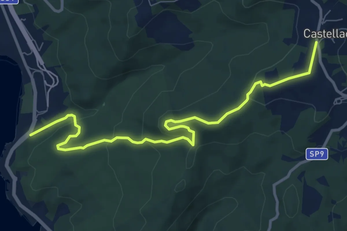
Medium · Trail
Voltina
8.4 km · ↑ 312 m · 2 h 39 min · 8 km away
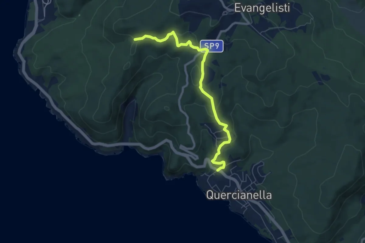
Easy · Trail
Quercianella (Parcheggio) – Il Montaccio (sent. 144)
7.0 km · ↑ 249 m · 2 h 11 min · 9 km away
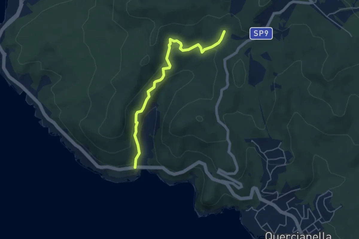
Easy · Trail
Ponte Calignaia – Sentiero 146
4.6 km · ↑ 270 m · 1 h 40 min · 9 km away
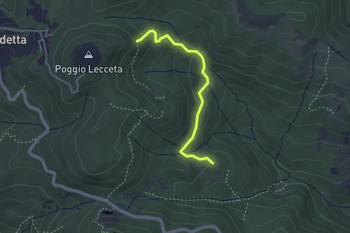
Easy · Trail
Le Vallore
3.1 km · ↑ 165 m · 1 h 5 min · 10 km away
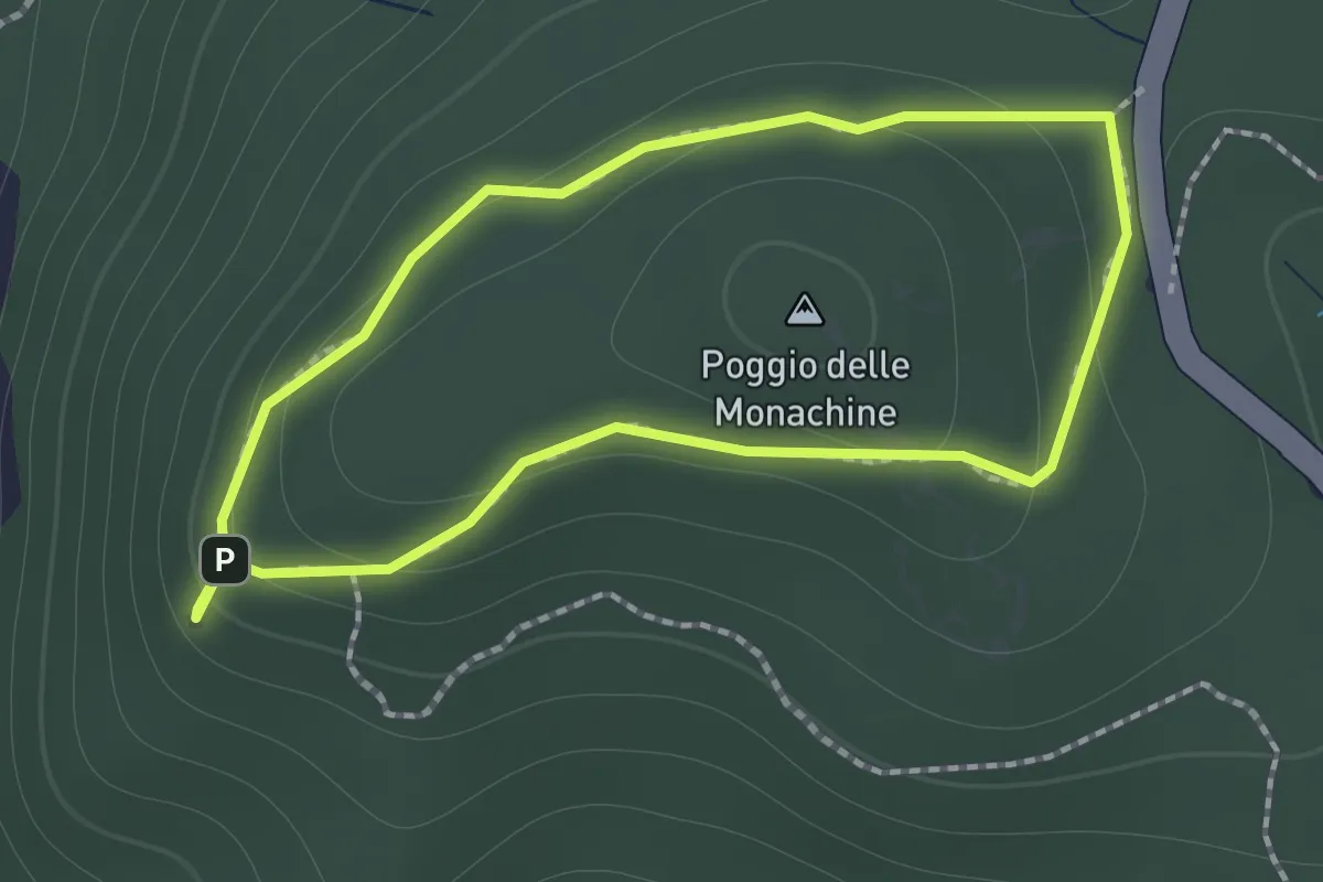
Easy · Summit
Anello di Poggio delle Monachine
1.3 km · ↑ 57 m · 26 min · 10 km away
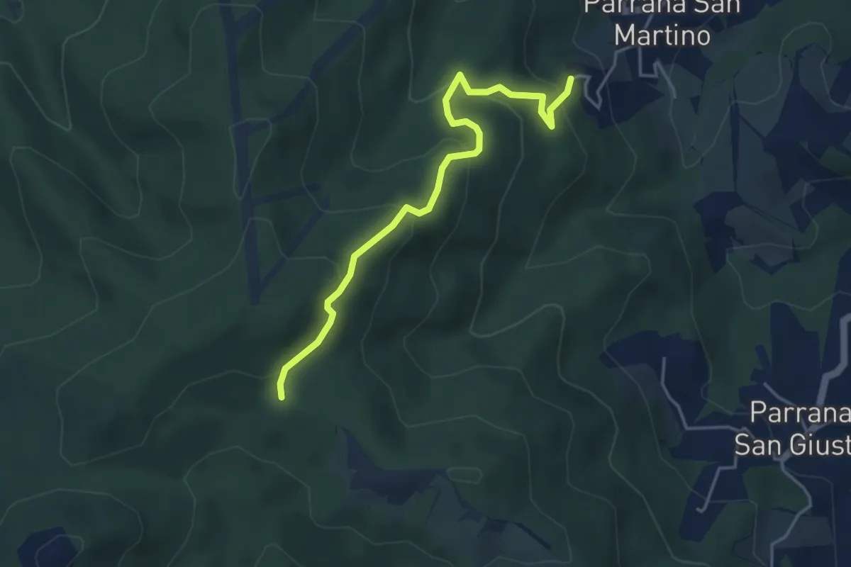
Easy · Trail
Parrana San Martino – Calvario (sent. 121)
4.3 km · ↑ 287 m · 1 h 38 min · 10 km away
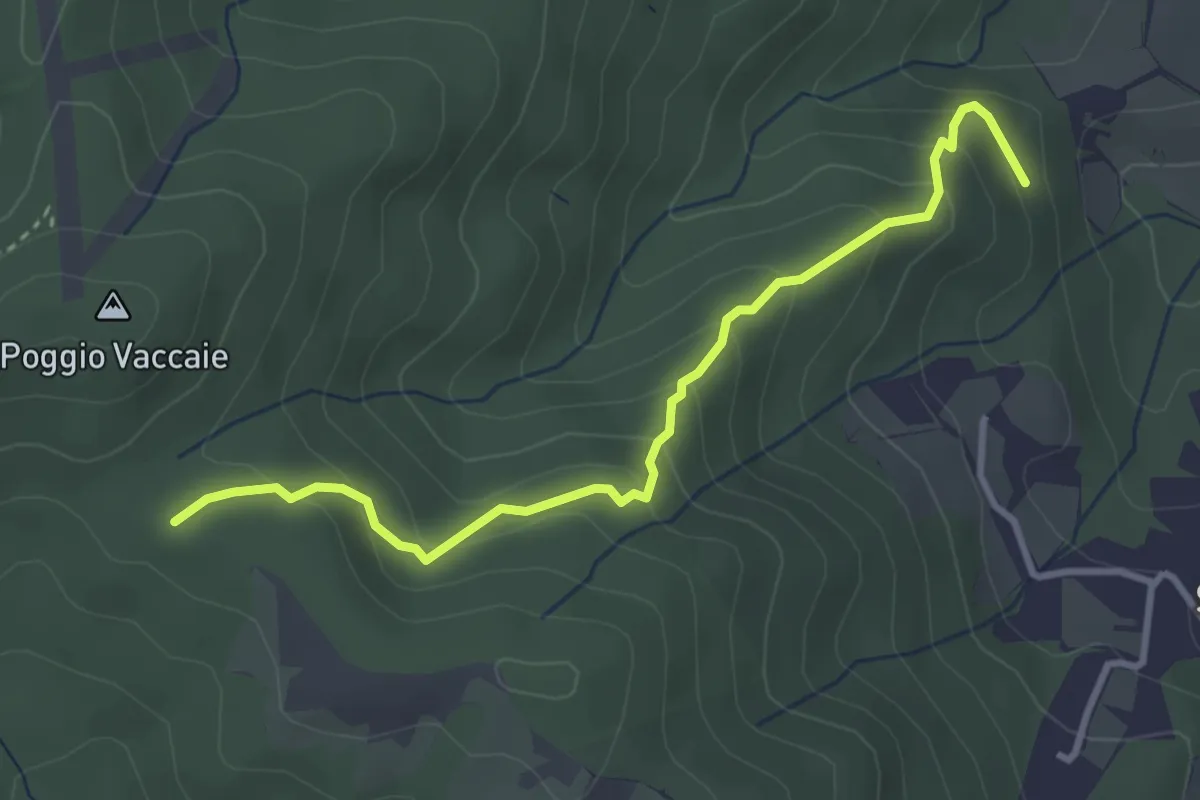
Easy · Trail
Ponti Grandi (sent. 115) – Calvario
3.7 km · ↑ 252 m · 1 h 25 min · 10 km away
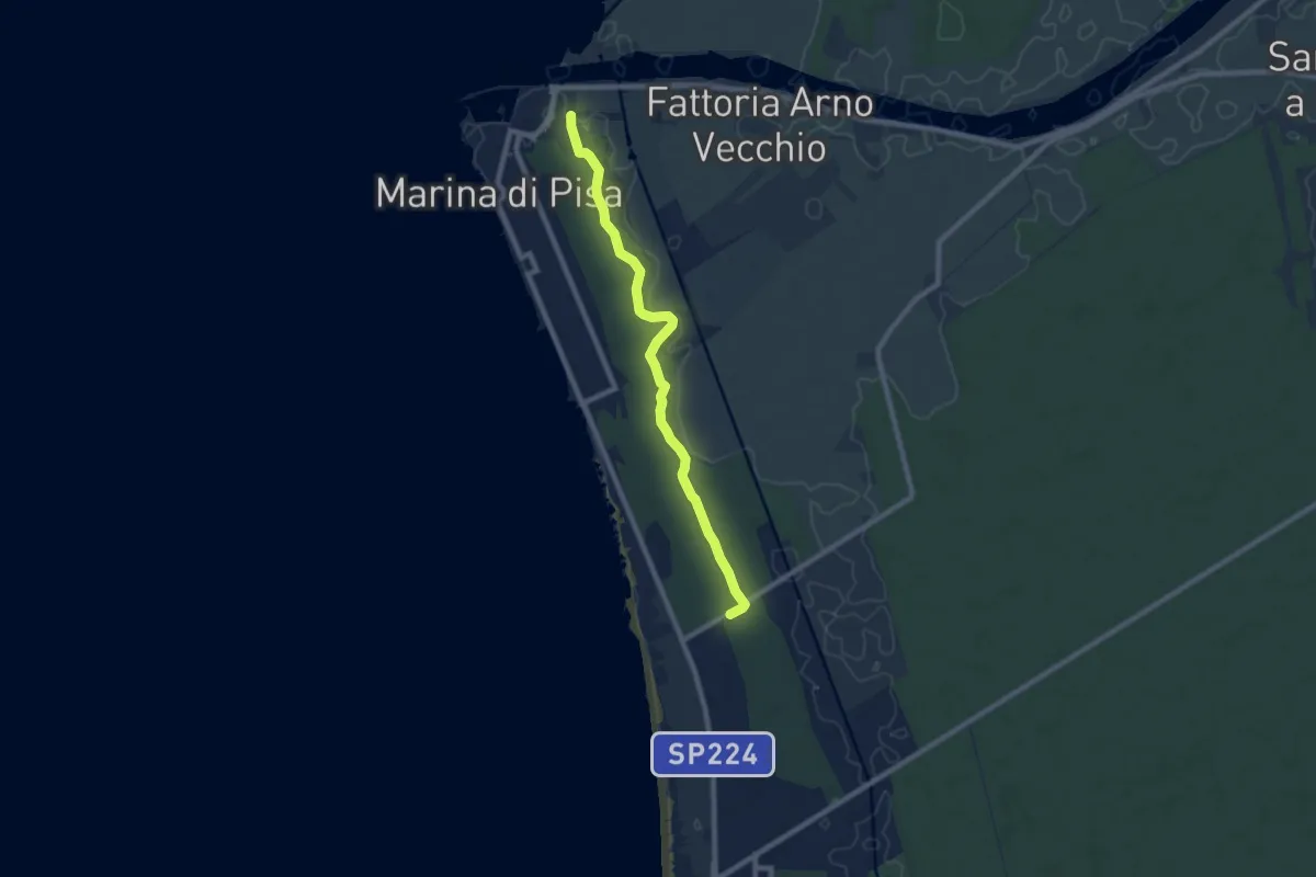
Medium · Trail
Porto di Marina di Pisa – Bigattiera
8.5 km · ↑ 27 m · 2 h 4 min · 11 km away
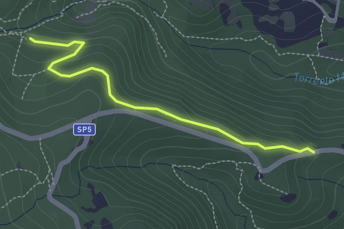
Easy · Trail
Via della Valle Benedetta (Croce) – Acquedotto Leopoldino
2.6 km · ↑ 135 m · 55 min · 11 km away
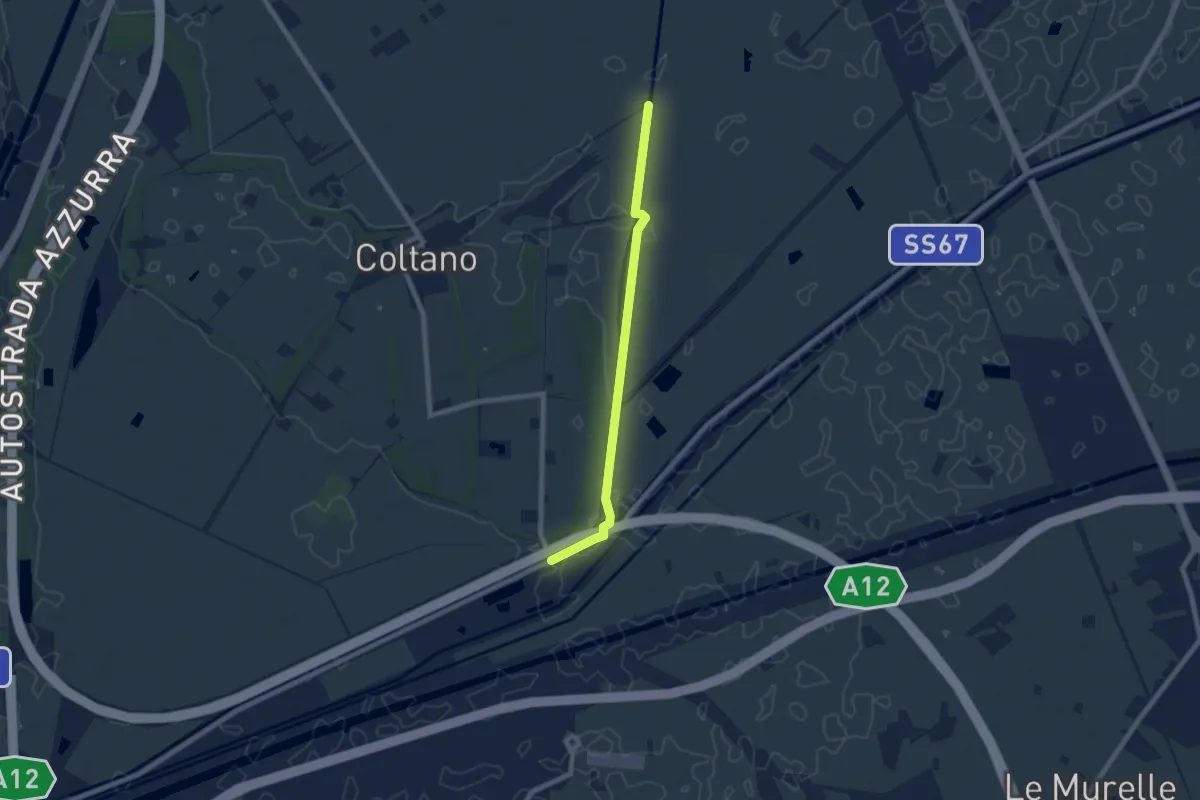
Easy · Trail
Deviazione 021 – Ponte Biscottino
7.4 km · ↑ 0 m · 1 h 45 min · 11 km away
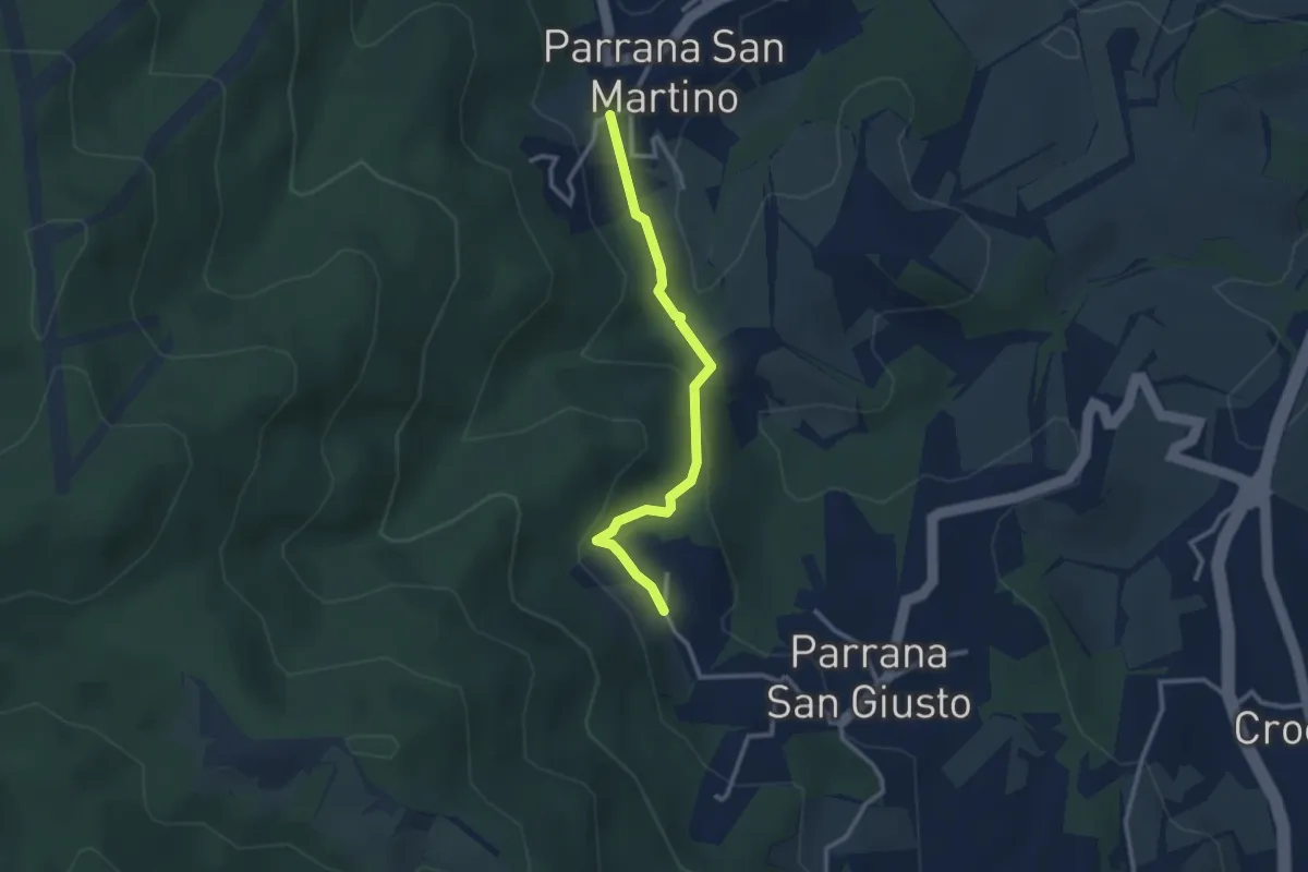
Easy · Trail
Parrana San Martino – Parrana San Giusto
2.9 km · ↑ 122 m · 56 min · 11 km away
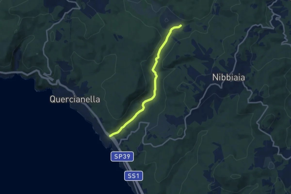
Easy · Trail
Valle del Chioma
7.6 km · ↑ 74 m · 1 h 58 min · 11 km away
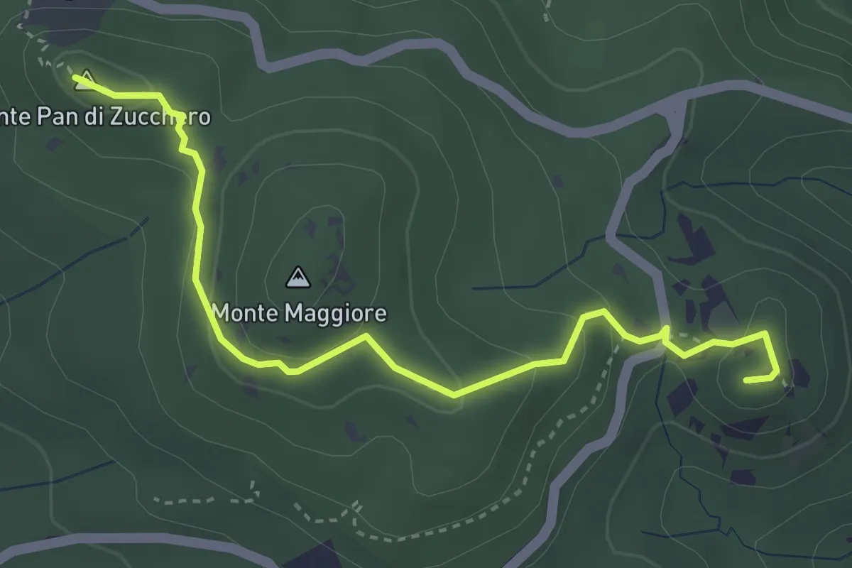
Medium · Summit
Cava della Focerella – Poggio alle Fate
4.1 km · ↑ 139 m · 1 h 17 min · 11 km away
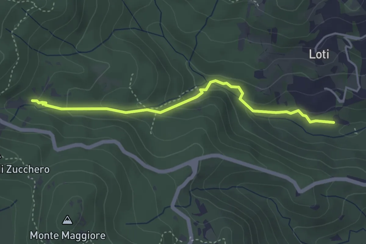
Medium · Trail
Sent. 121 – Sorgente la Terrazza dell'Acquedotto di Colognole
3.8 km · ↑ 182 m · 1 h 18 min · 12 km away
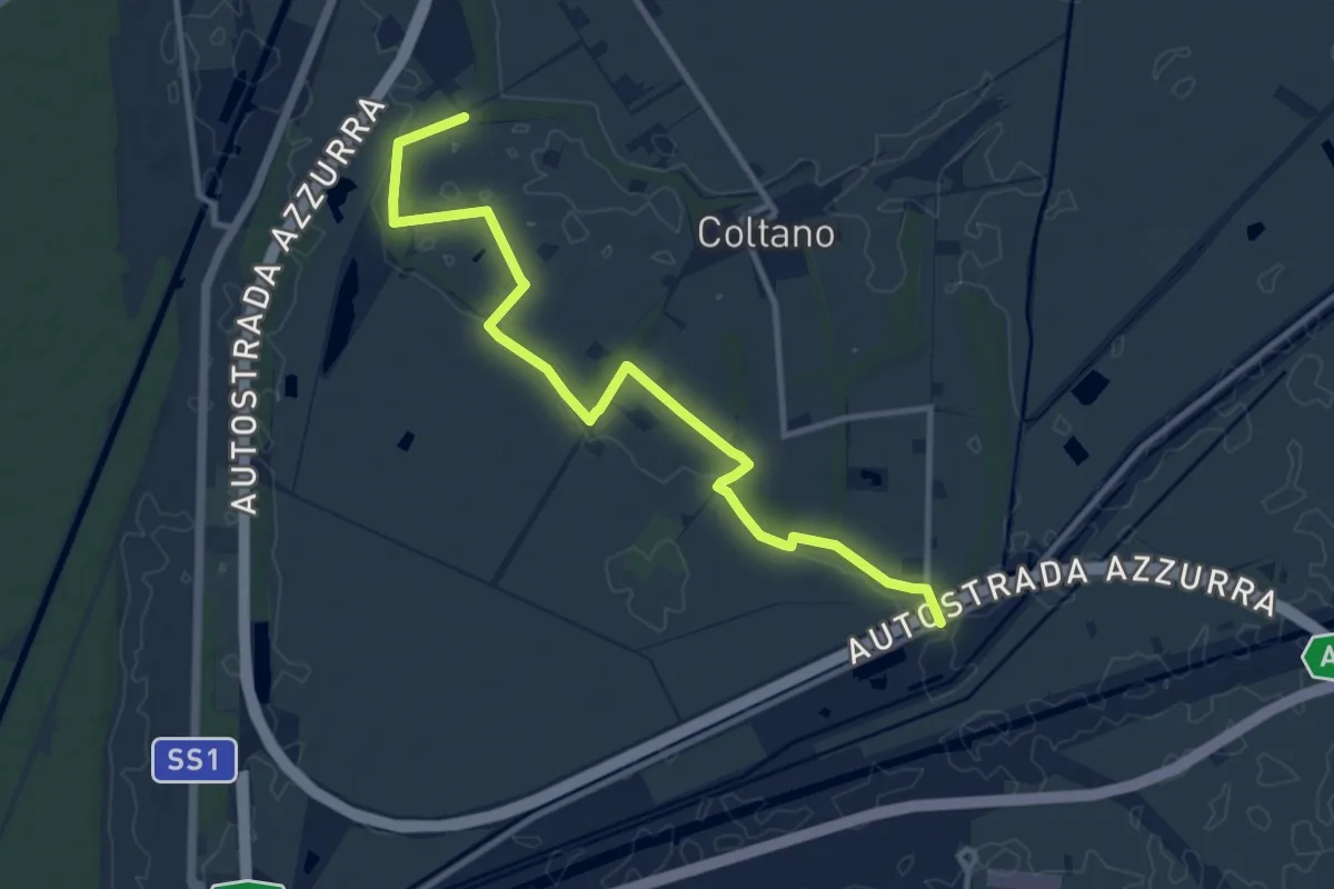
Medium · Trail
Sentiero della Bonifica
12.2 km · ↑ 34 m · 2 h 57 min · 12 km away
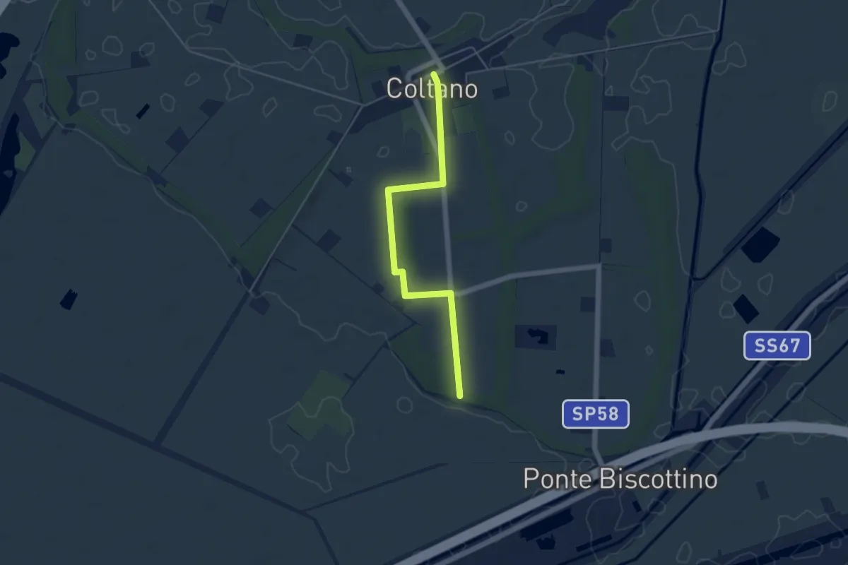
Easy · Trail
Sentiero della Sementina
4.8 km · ↑ 4 m · 1 h 9 min · 12 km away
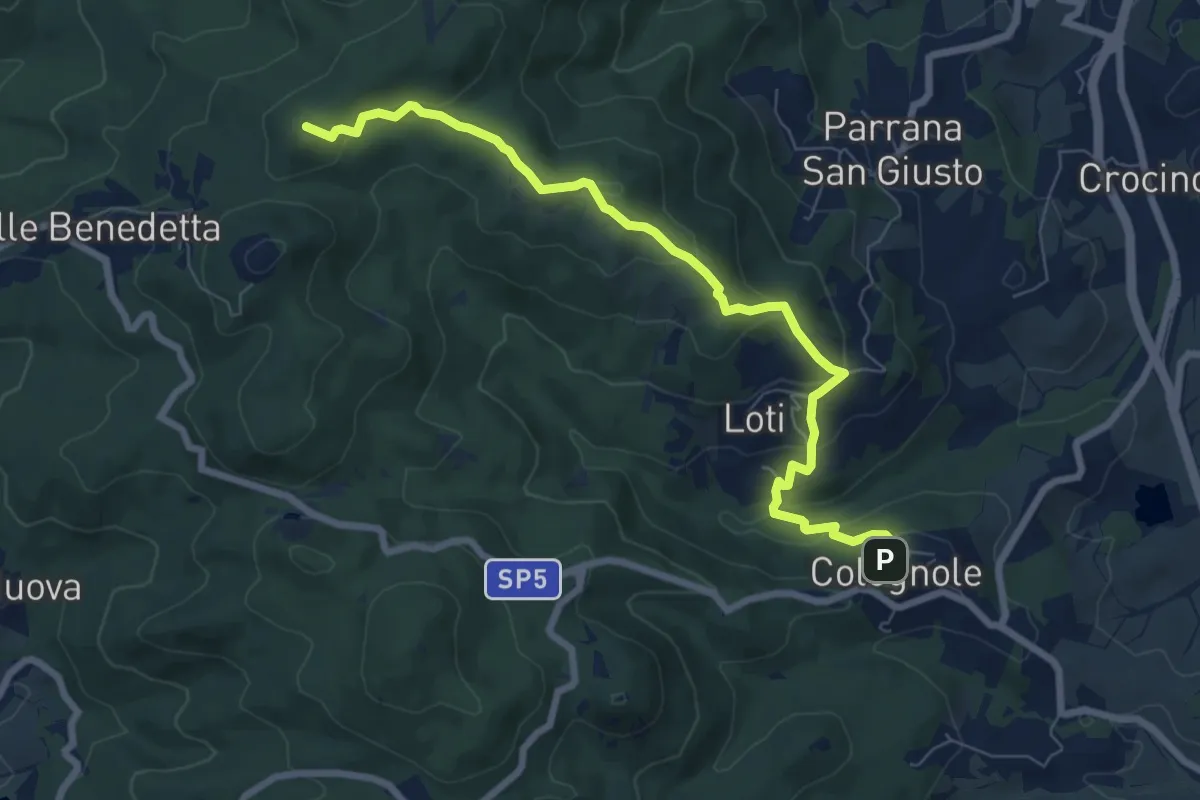
Medium · Summit
Sentiero del Calvario
8.3 km · ↑ 365 m · 2 h 45 min · 12 km away
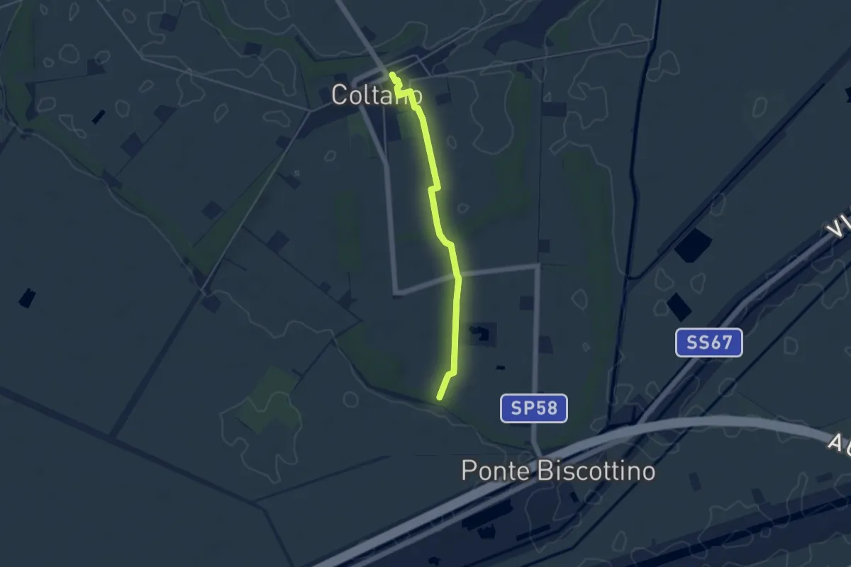
Easy · Trail
Villa Medicea – Fasce Boscate
4.3 km · ↑ 9 m · 1 h 2 min · 12 km away
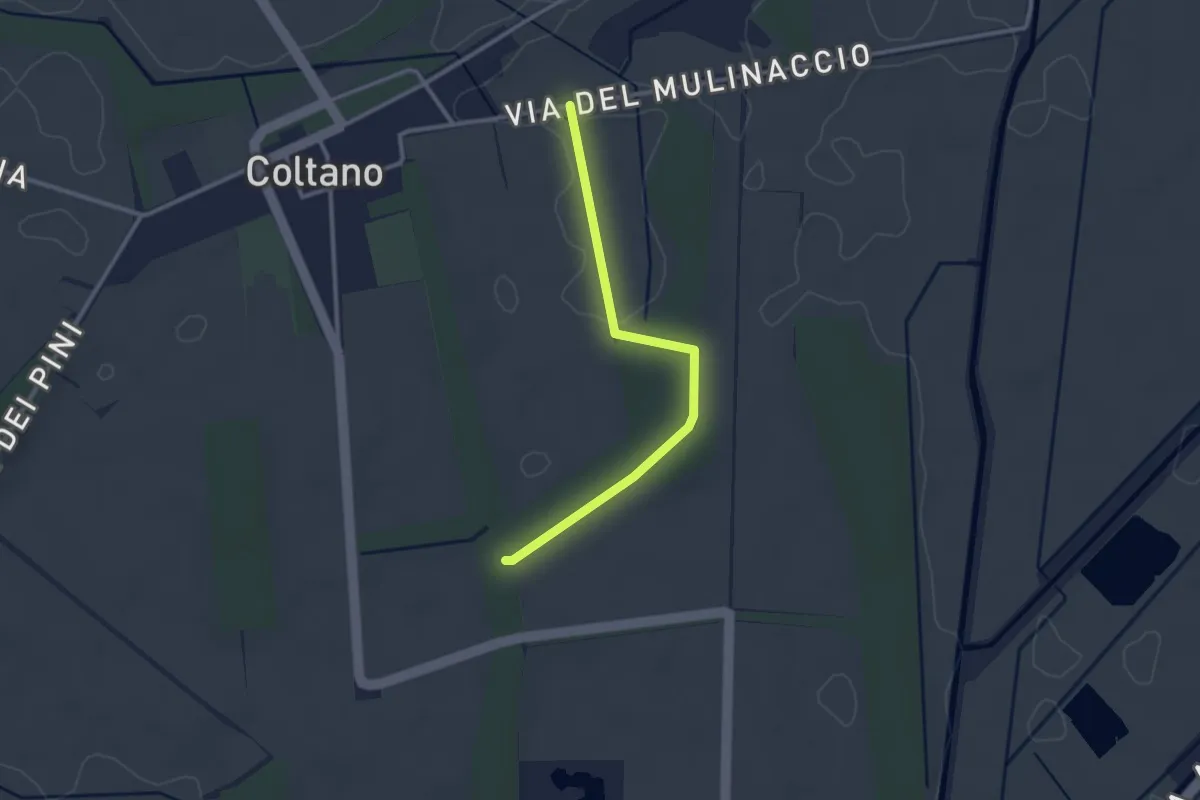
Easy · Trail
Raccordo via Molinaccio – Raccordo 025
2.8 km · ↑ 9 m · 41 min · 12 km away
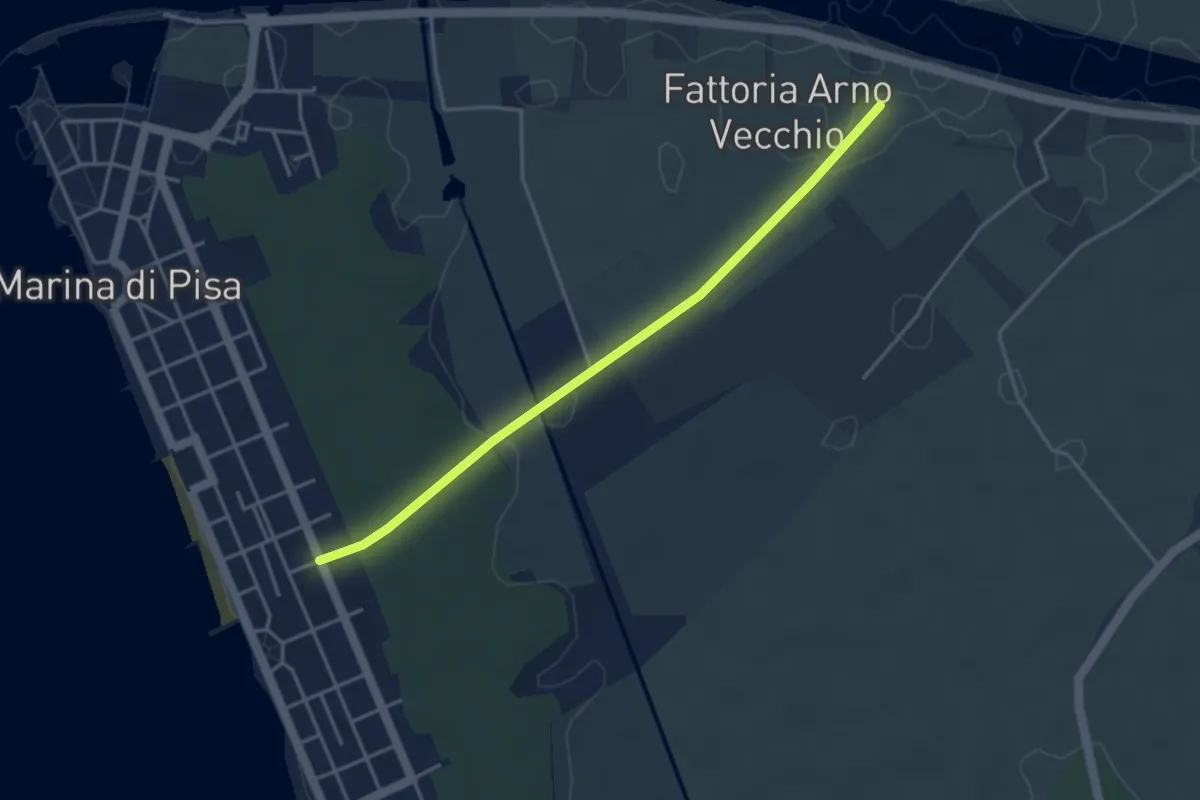
Easy · Trail
Fattoria Arno Vecchio – Marina Centro
4.1 km · ↑ 23 m · 1 h 1 min · 13 km away
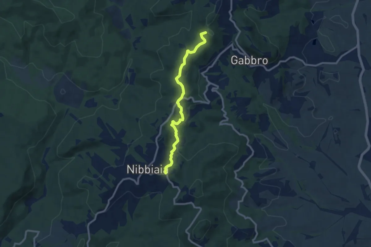
Easy · Summit
La Malavolta – Nibbiaia (via Buontalenti)
7.2 km · ↑ 209 m · 2 h 10 min · 13 km away
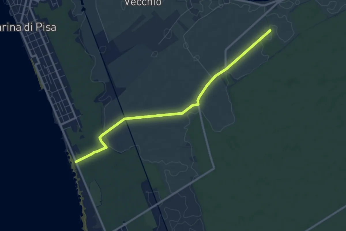
Easy · Trail
Sentiero della Colmata
7.9 km · ↑ 29 m · 1 h 56 min · 14 km away
Demanding · Trail
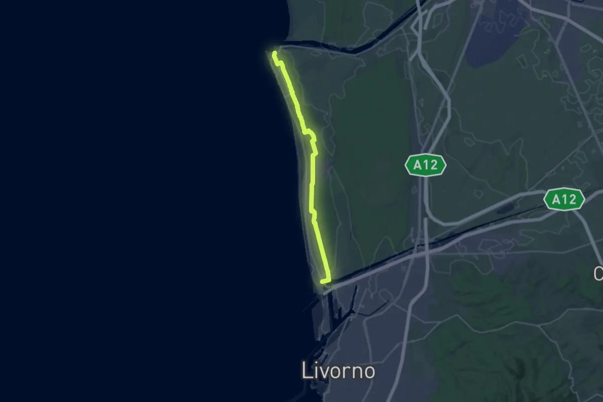
Sentiero delle Dune
23.2 km · ↑ 55 m · 5 h 36 min · 14 km away
Medium · Trail
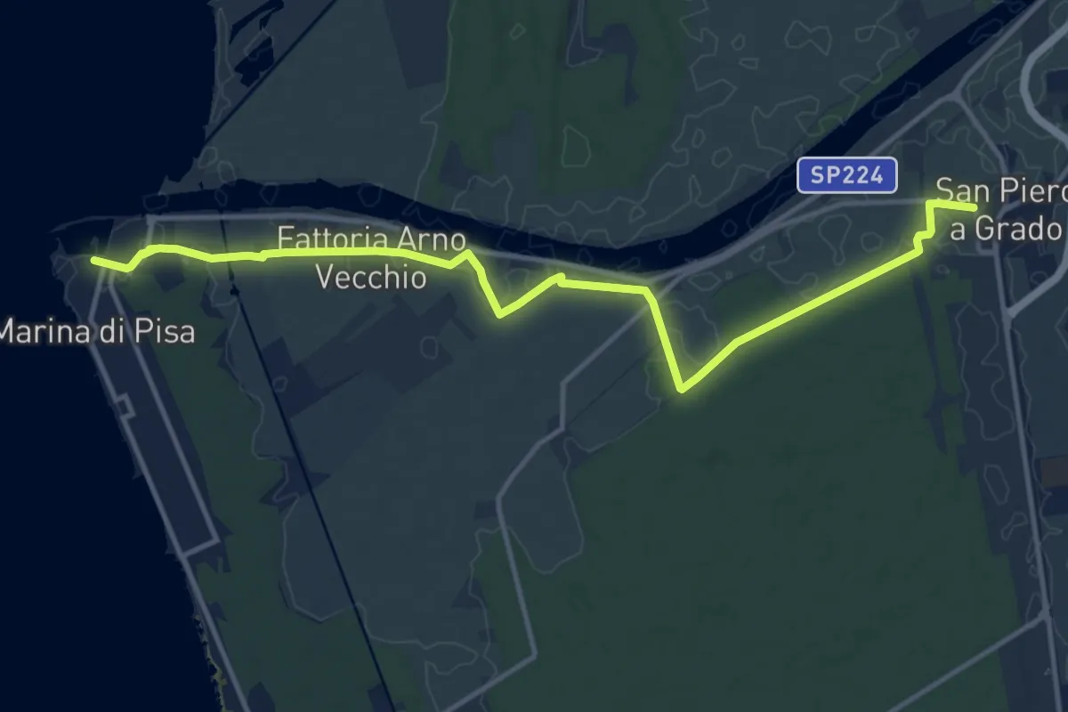
Sentiero Gabriele D'Annunzio
15.1 km · ↑ 21 m · 3 h 36 min · 14 km away
Medium · Trail
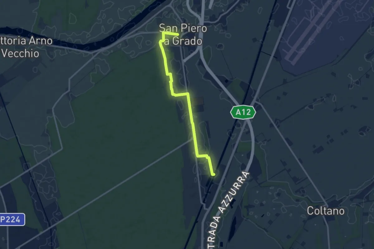
San Piero a Grado – Navicelli
10.0 km · ↑ 8 m · 2 h 23 min · 15 km away