Trails near Lomazzo
77 hikes starting within 15 km, nearest first.
Nearest first, page 2 of 2
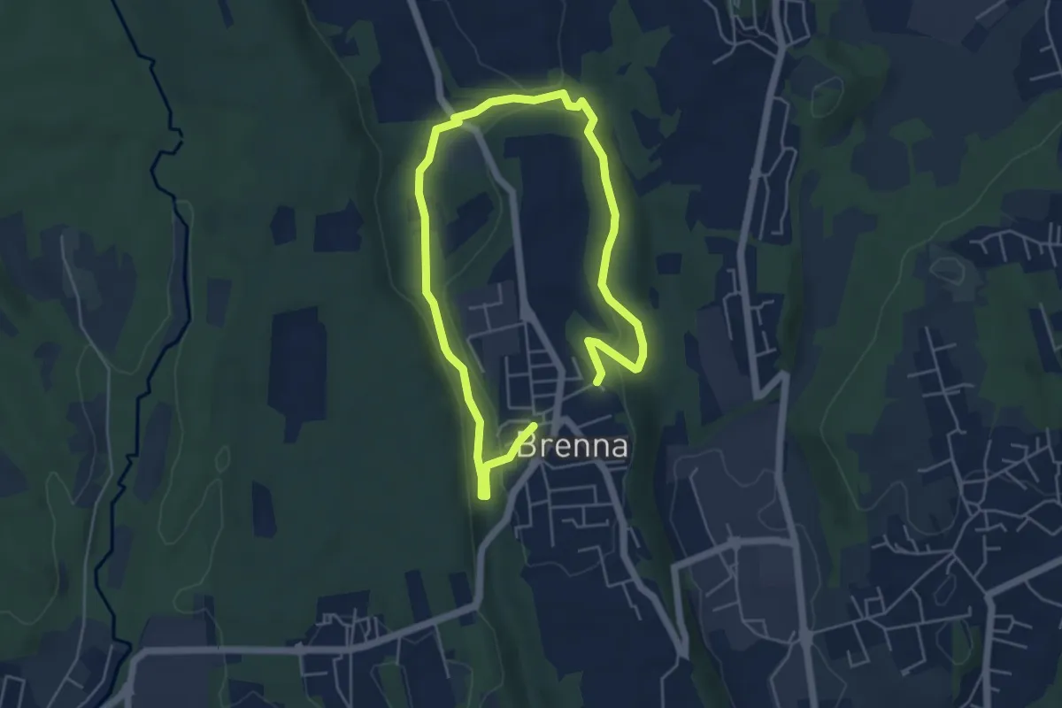
Easy · Trail
Valle Sorda – Valle di Brenna
7.8 km · ↑ 140 m · 2 h 9 min · 13 km away
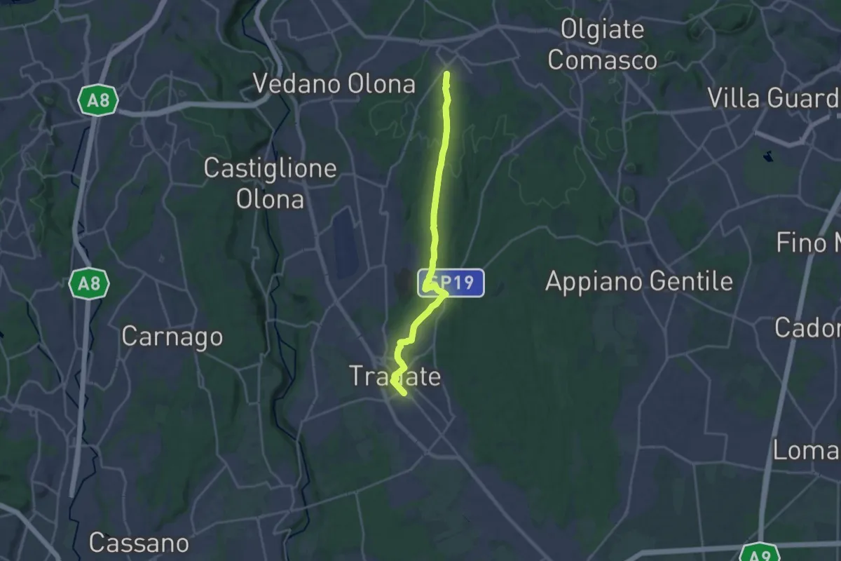
Demanding · Trail
Binago – Tradate
18.1 km · ↑ 185 m · 4 h 41 min · 13 km away
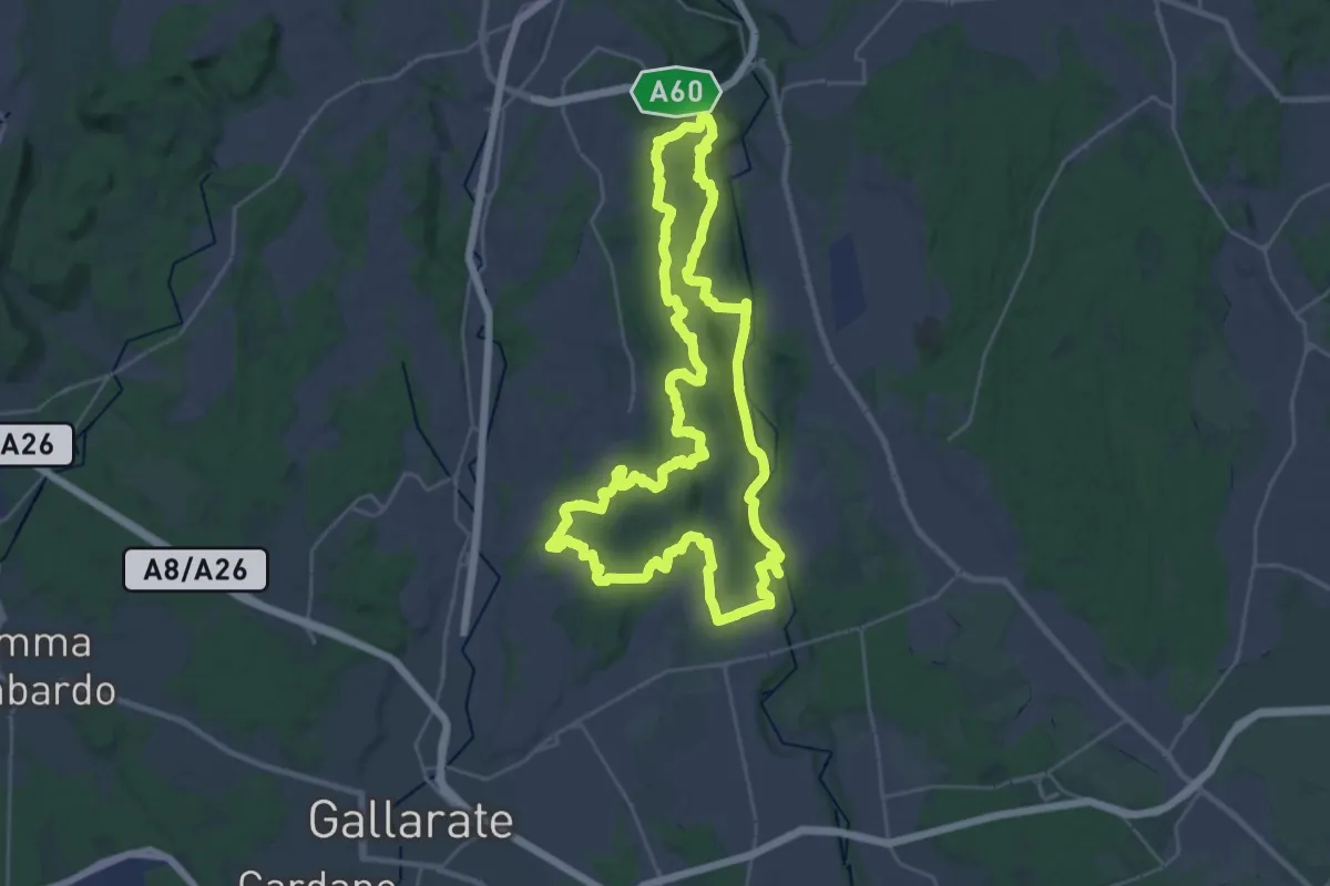
Demanding · Trail
Grandtour RTO
30.8 km · ↑ 344 m · 8 h 28 min · 13 km away
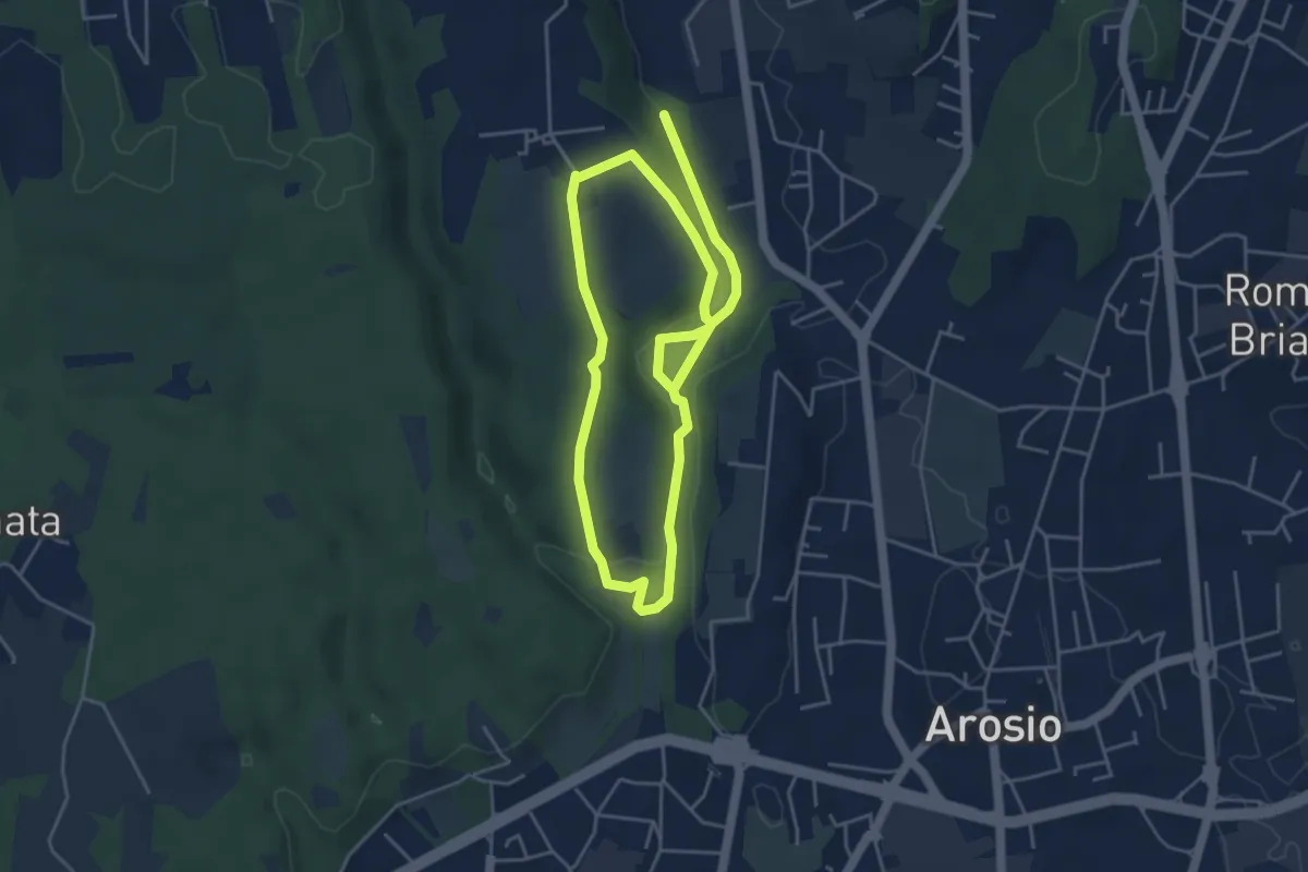
Medium · Trail
Percorso dei fontanili
8.2 km · ↑ 156 m · 2 h 17 min · 13 km away
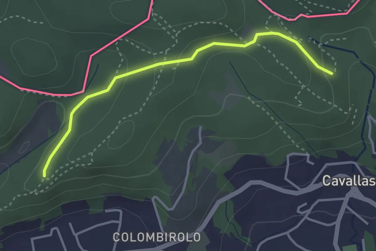
Easy · Trail
Naturalistico di Parè
3.0 km · ↑ 71 m · 51 min · 13 km away
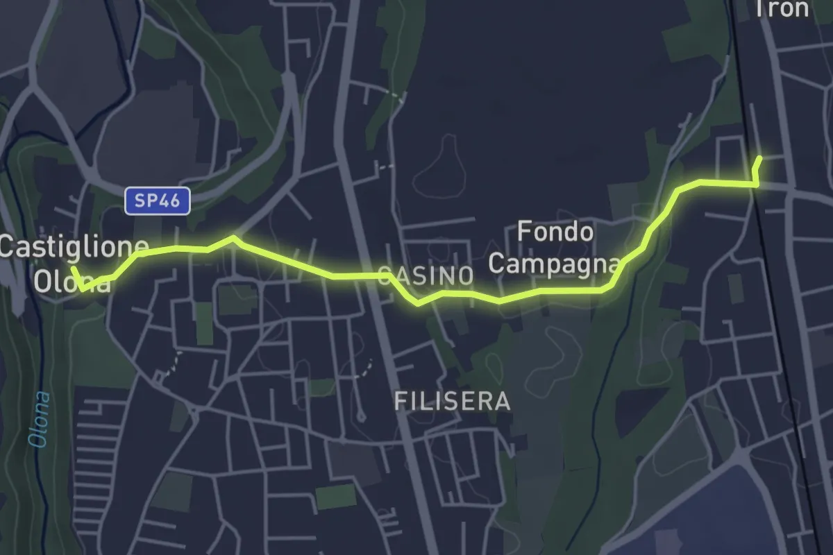
Easy · Trail
Collegamento Castiglione Olona-Trenord
4.6 km · ↑ 63 m · 1 h 13 min · 13 km away
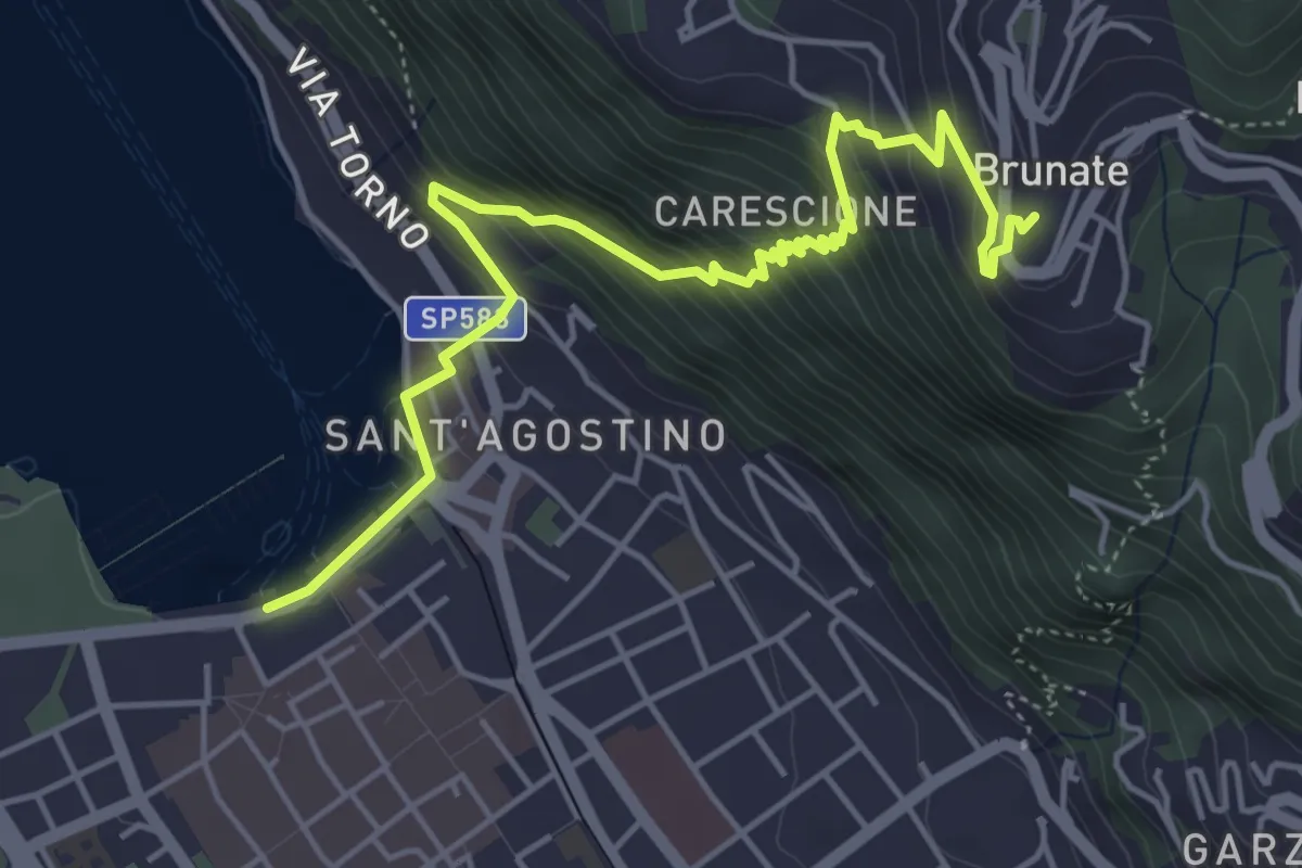
Medium · Trail
Imbarcadero di Como – Funicolare di Brunate
5.7 km · ↑ 522 m · 2 h 28 min · 13 km away
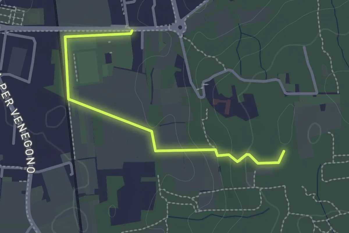
Easy · Trail
Vedano Olona – Innesto su sentiero 540
2.7 km · ↑ 58 m · 46 min · 13 km away
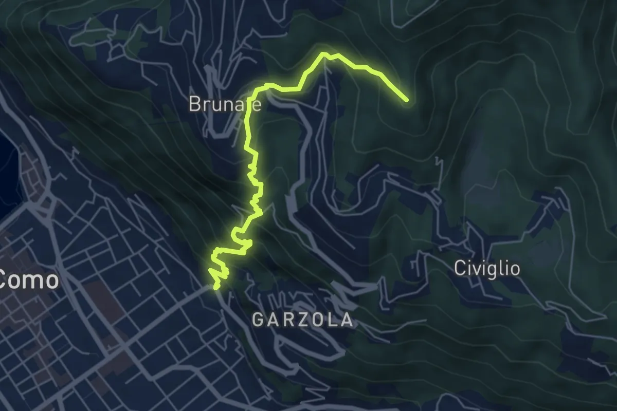
Medium · Summit
Santa Croce – CAO
5.6 km · ↑ 596 m · 2 h 36 min · 13 km away
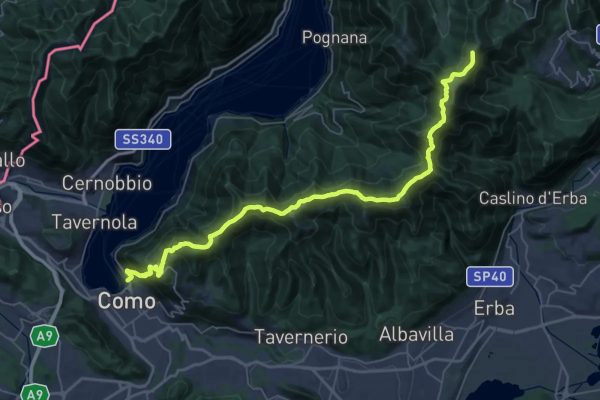
Demanding · Summit
Como – Piano del Tivano
32.2 km · ↑ 2080 m · 12 h 6 min · 14 km away
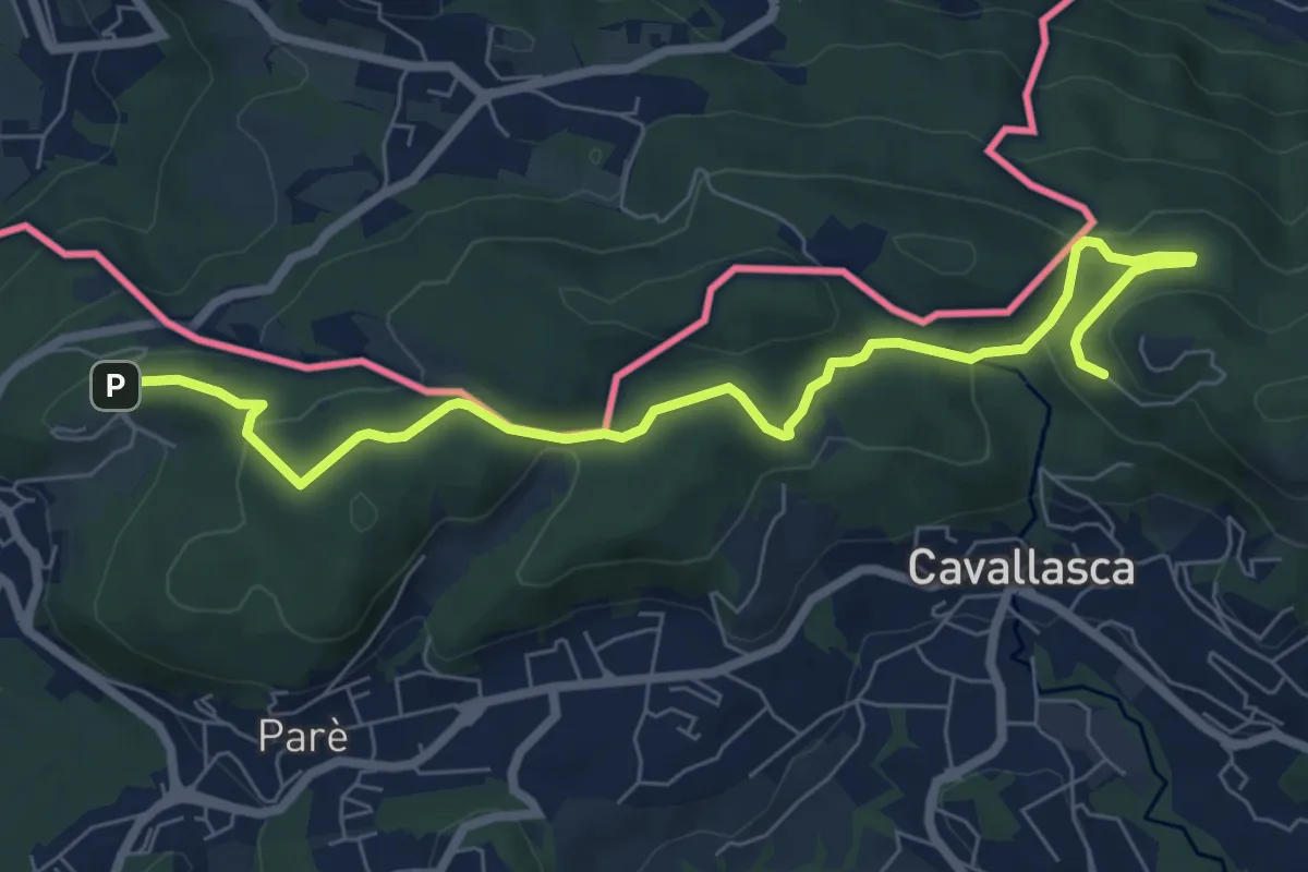
Medium · Trail
Bizzarone – Como
8.2 km · ↑ 264 m · 2 h 30 min · 14 km away
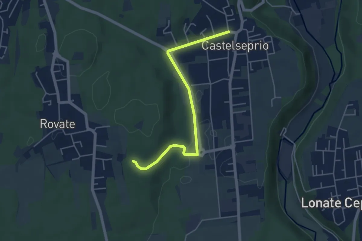
Easy · Trail
Collegamento Anello del Rile-Dorsale RTO
4.2 km · ↑ 47 m · 1 h 5 min · 14 km away
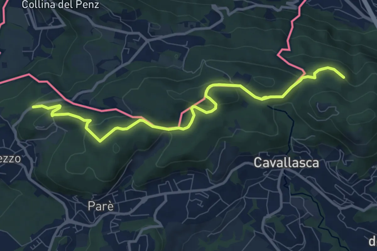
Medium · Trail
Confinale
9.1 km · ↑ 322 m · 2 h 50 min · 14 km away
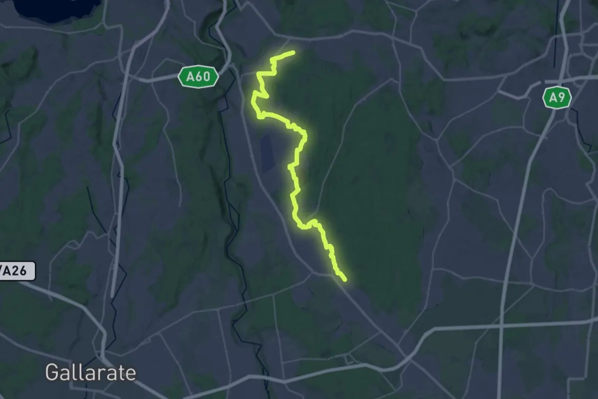
Medium · Trail
Sentiero 540LP
16.5 km · ↑ 81 m · 4 h 21 min · 14 km away
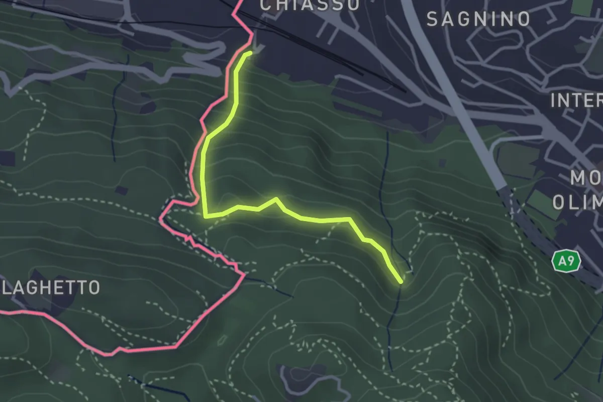
Medium · Trail
Porta Sasso (o del ponte tibetano)
2.8 km · ↑ 294 m · 1 h 17 min · 14 km away
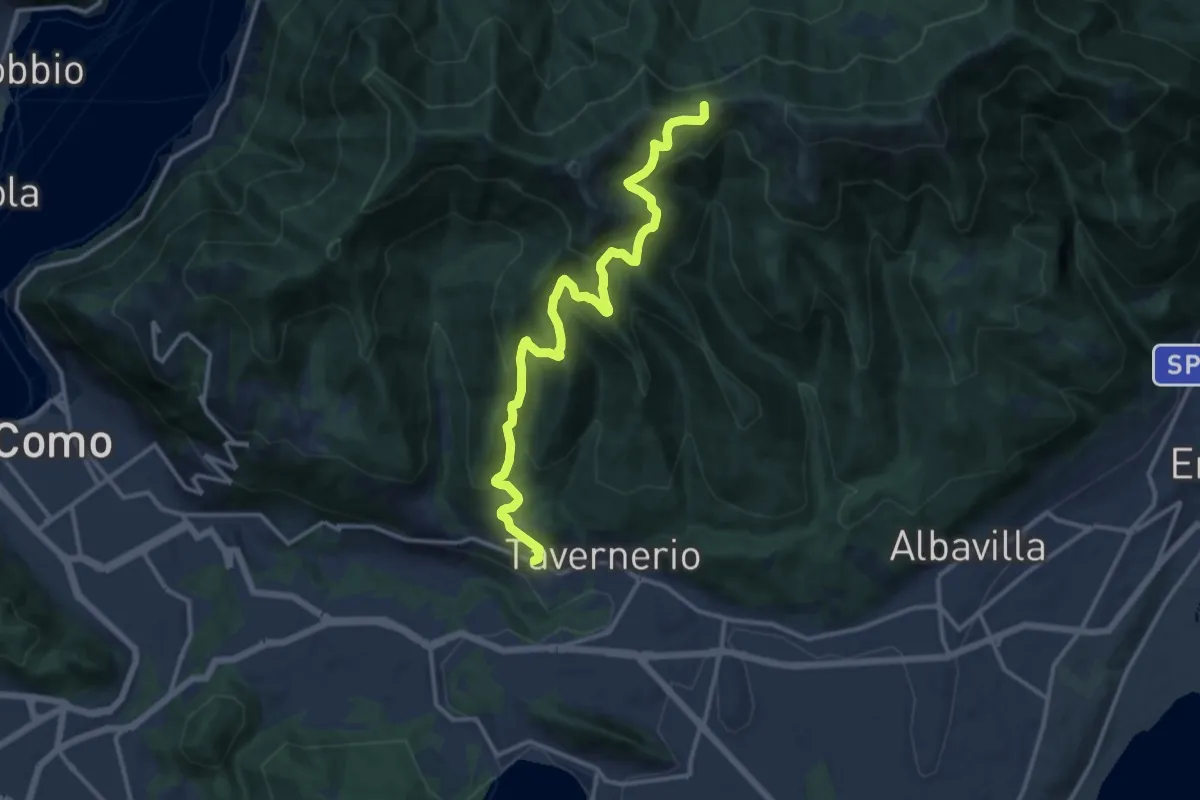
Demanding · Trail
Via Cesare Battisti (Solzago) – Incrocio Sentiero 300 V - Sentiero 363
14.2 km · ↑ 910 m · 5 h 20 min · 14 km away
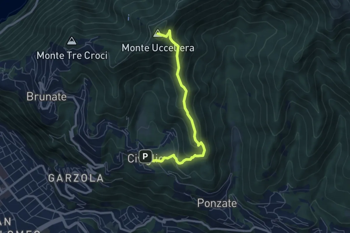
Medium · Summit
Civiglio – CAO
6.1 km · ↑ 379 m · 2 h 15 min · 14 km away
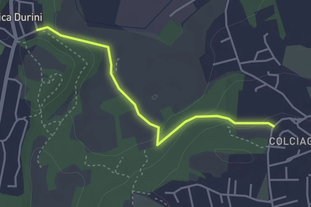
Easy · Trail
Fabbrica Durini – Colciago
3.0 km · ↑ 85 m · 54 min · 14 km away
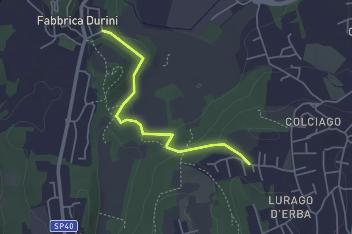
Easy · Trail
Fabbrica Durini – Careggia
3.3 km · ↑ 83 m · 58 min · 14 km away
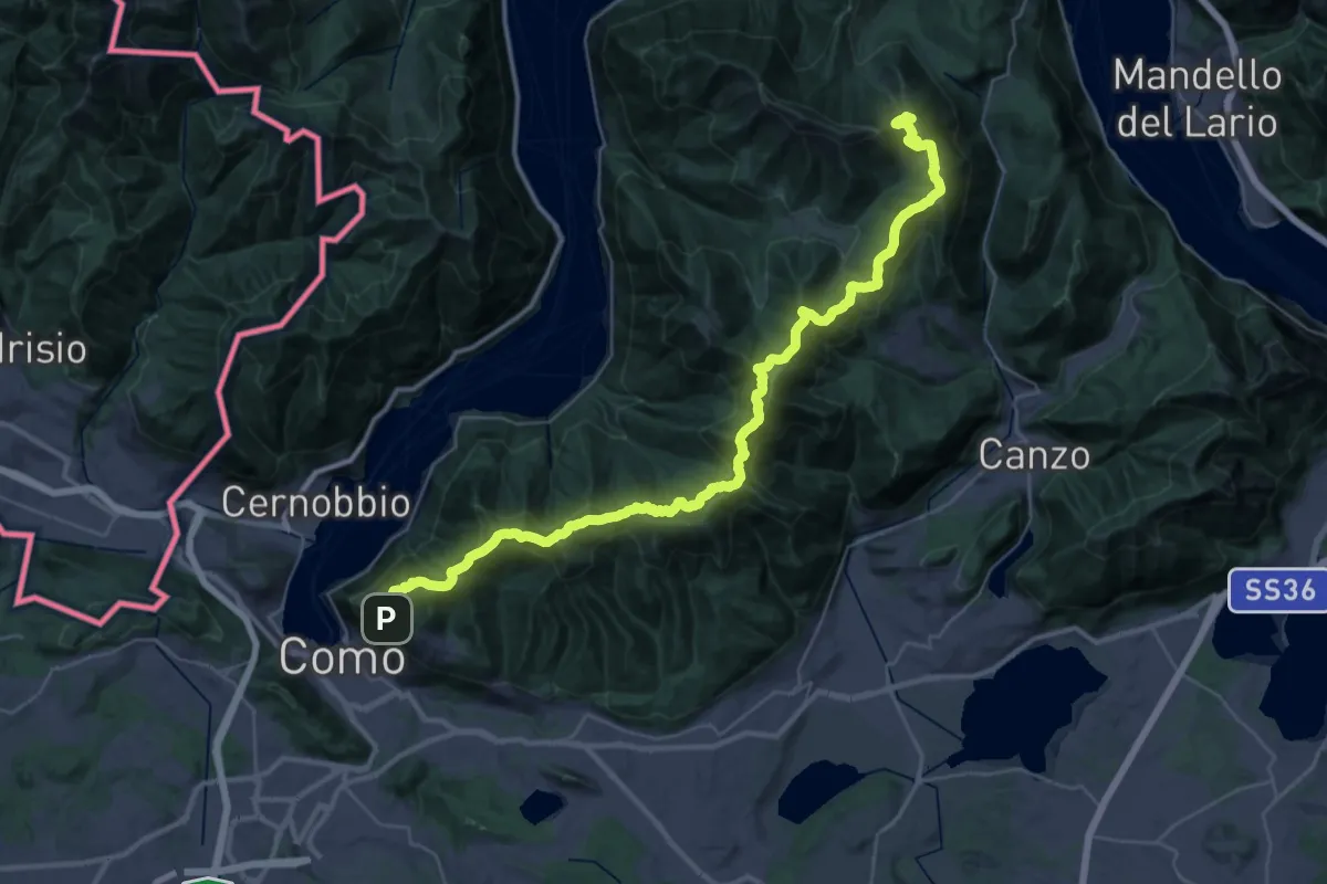
Demanding · Summit
Dorsale del Triangolo Lariano
44.3 km · ↑ 2300 m · 15 h 26 min · 14 km away
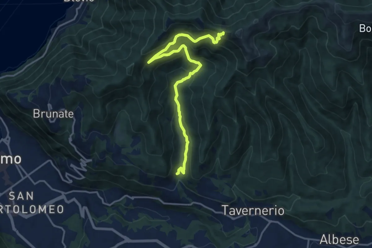
Medium · Trail
Ponzate – Baita Fabrizio
12.4 km · ↑ 721 m · 4 h 29 min · 14 km away
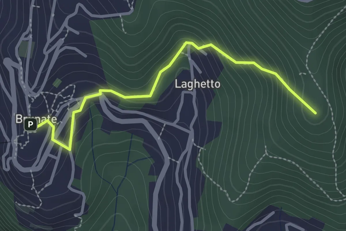
Medium · Summit
Brunate – CAO
2.7 km · ↑ 210 m · 1 h 5 min · 14 km away
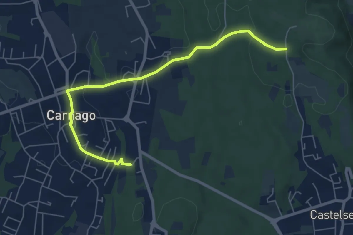
Easy · Trail
520E Collegamento Carnago
5.6 km · ↑ 67 m · 1 h 28 min · 14 km away
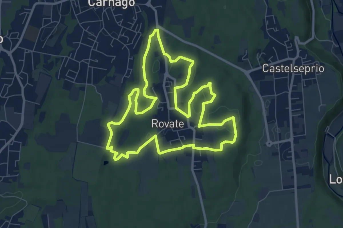
Easy · Trail
523 Anello del Rile
7.9 km · ↑ 100 m · 2 h 12 min · 14 km away
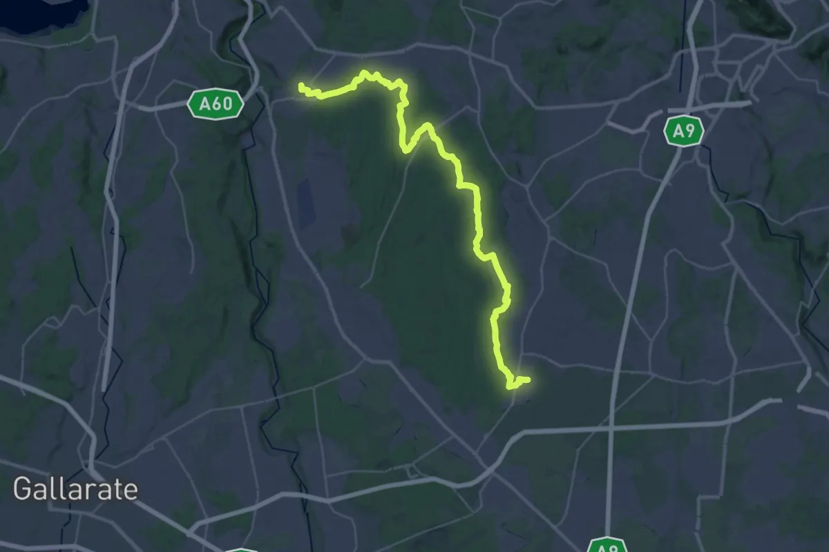
Demanding · Trail
Limido Comasco – Vedano Olona
19.7 km · ↑ 134 m · 5 h 16 min · 15 km away
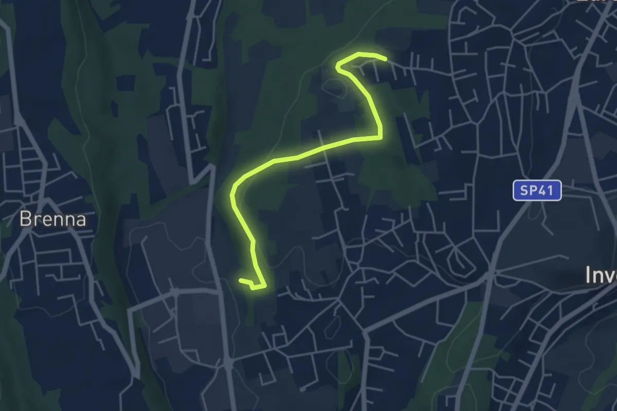
Easy · Trail
Innesto S2 – Careggia
4.3 km · ↑ 131 m · 1 h 17 min · 15 km away
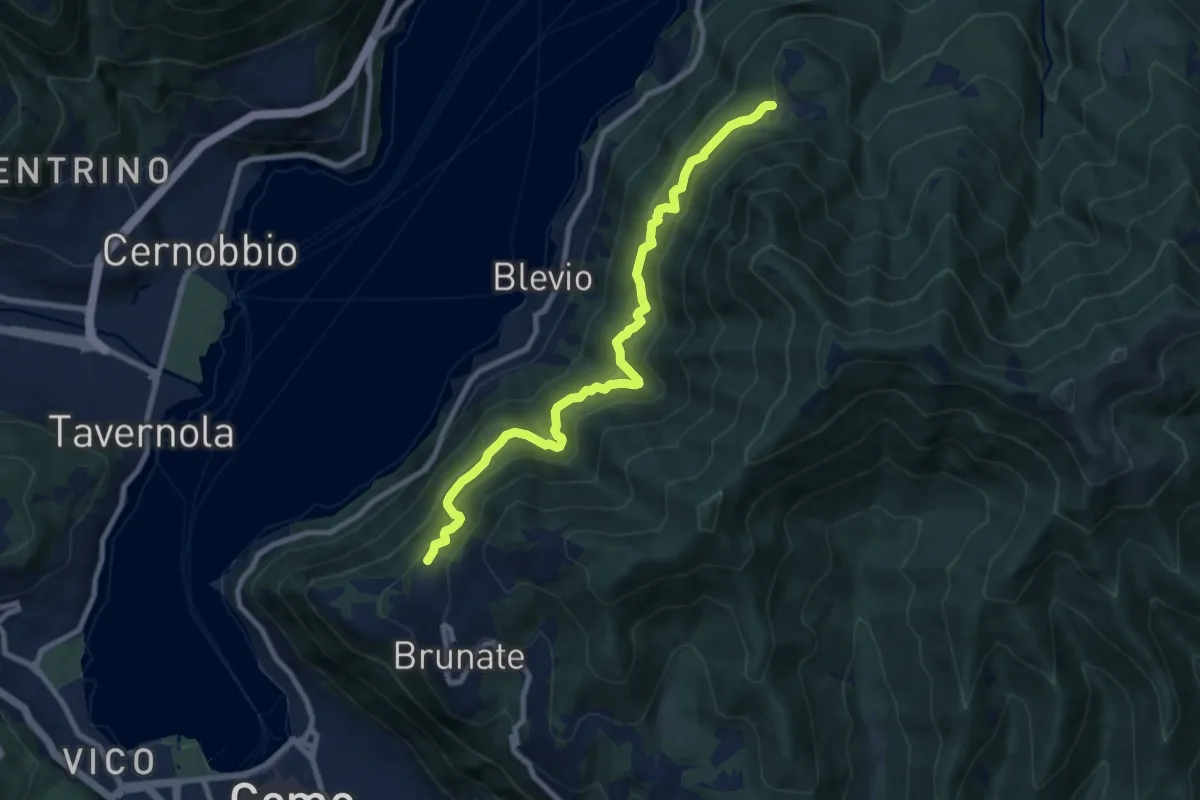
Medium · Trail
Brunate-Montepiatto
9.1 km · ↑ 788 m · 3 h 51 min · 15 km away
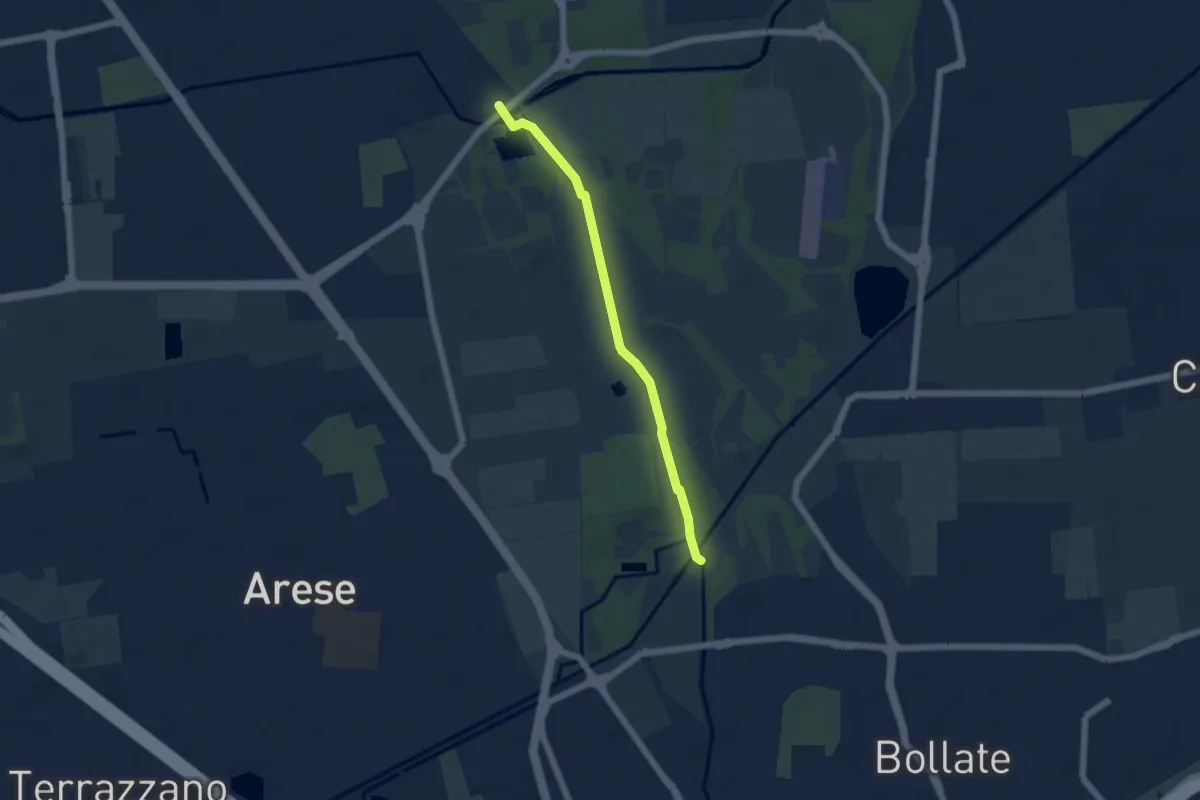
Easy · Trail
Sentiero delle sette cascate
5.0 km · ↑ 17 m · 1 h 13 min · 15 km away
Easy · Trail
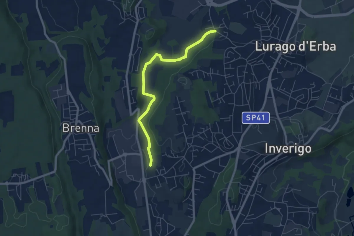
Cremnago (lazzaretto) – Pioppette
5.7 km · ↑ 81 m · 1 h 31 min · 15 km away