Trails near Lonigo
49 hikes starting within 15 km, nearest first.
Nearest first, page 1 of 2
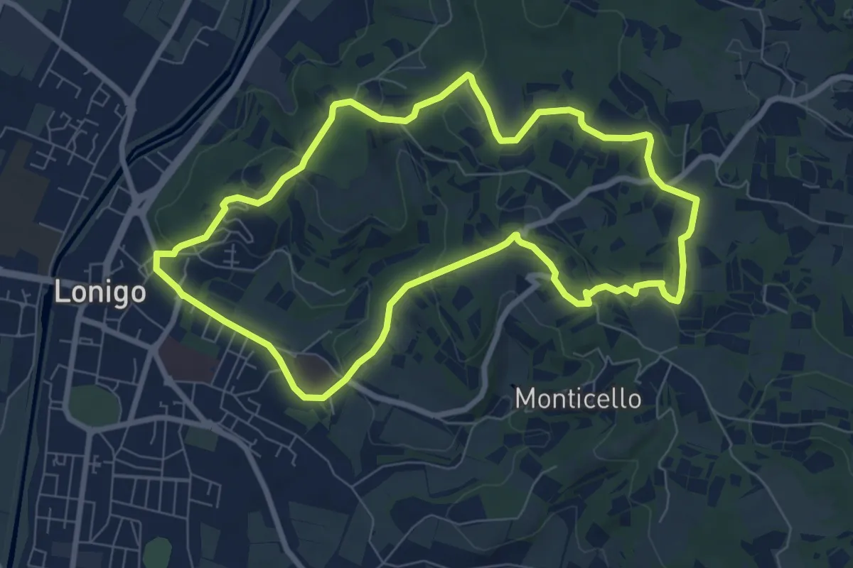
Medium · Trail
Sentiero dei Monti di Lonigo
7.7 km · ↑ 183 m · 2 h 19 min · under 1 km away
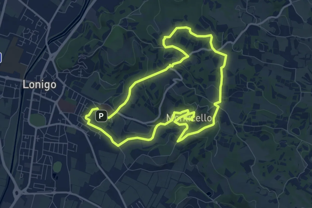
Medium · Trail
Sentiero delle Fontane
9.1 km · ↑ 207 m · 2 h 43 min · 1 km away
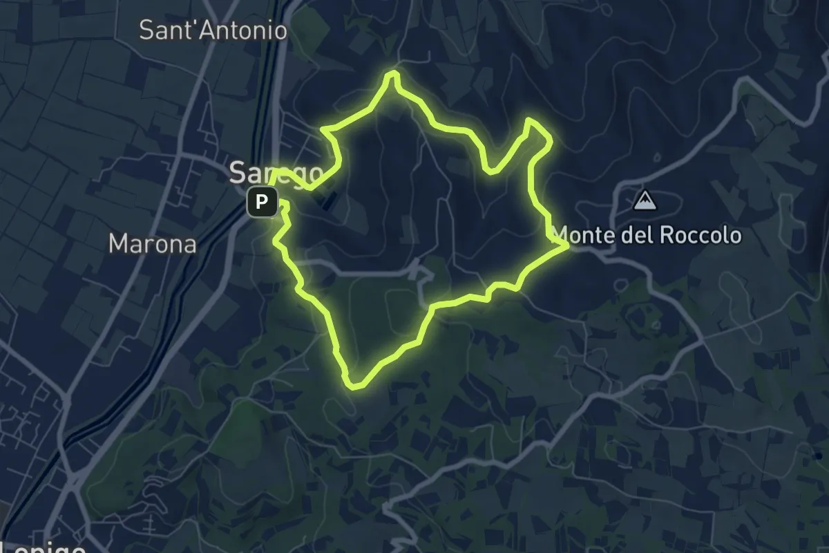
Easy · Summit
Sentiero delle Grotte di Sarego
6.9 km · ↑ 212 m · 2 h 11 min · 2 km away
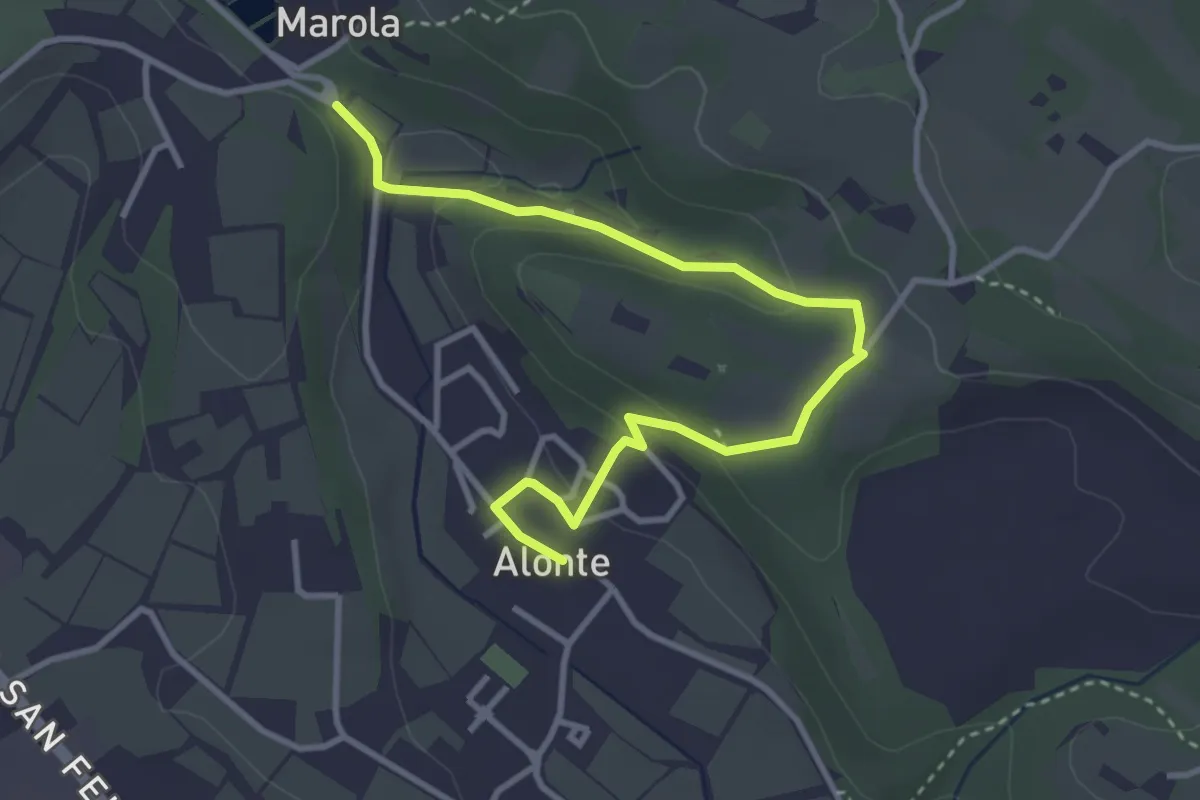
Easy · Trail
Sentiero n. 45 Variante Bosco dei Molini
4.1 km · ↑ 120 m · 1 h 14 min · 4 km away
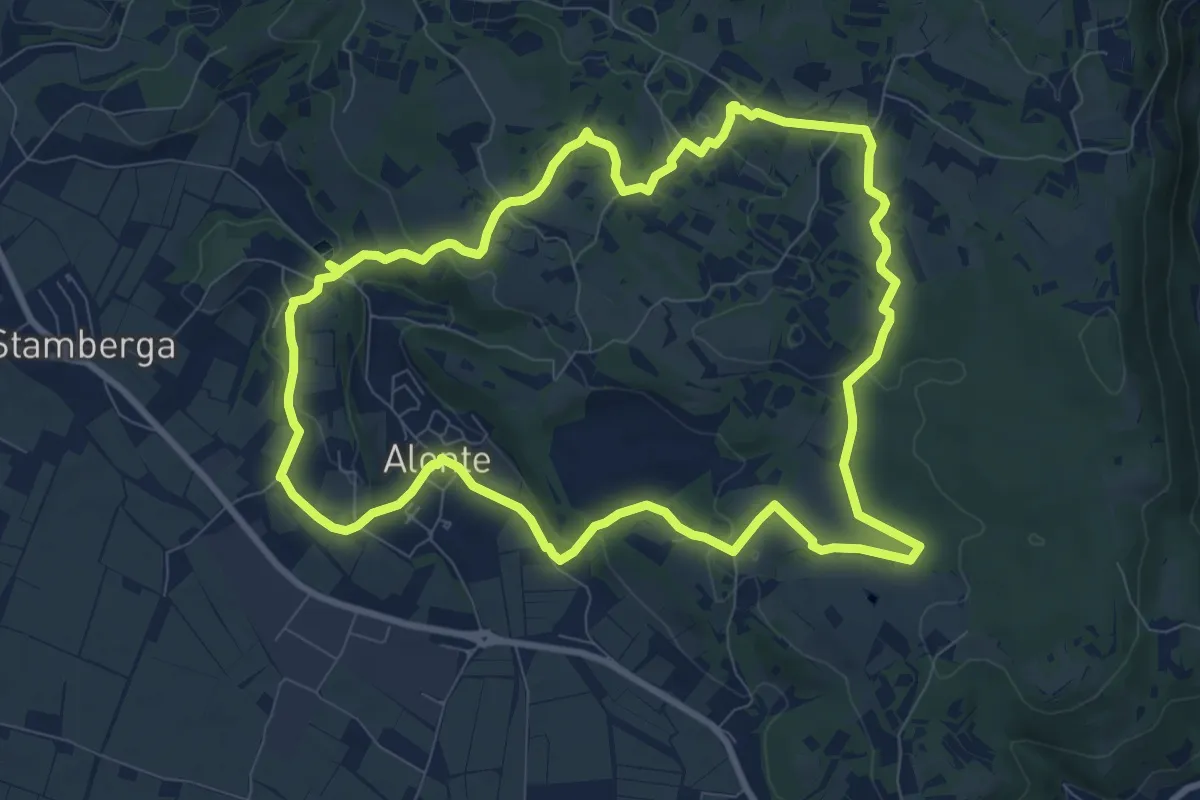
Medium · Trail
Sentiero n. 45 di Alonte
9.7 km · ↑ 165 m · 2 h 47 min · 4 km away
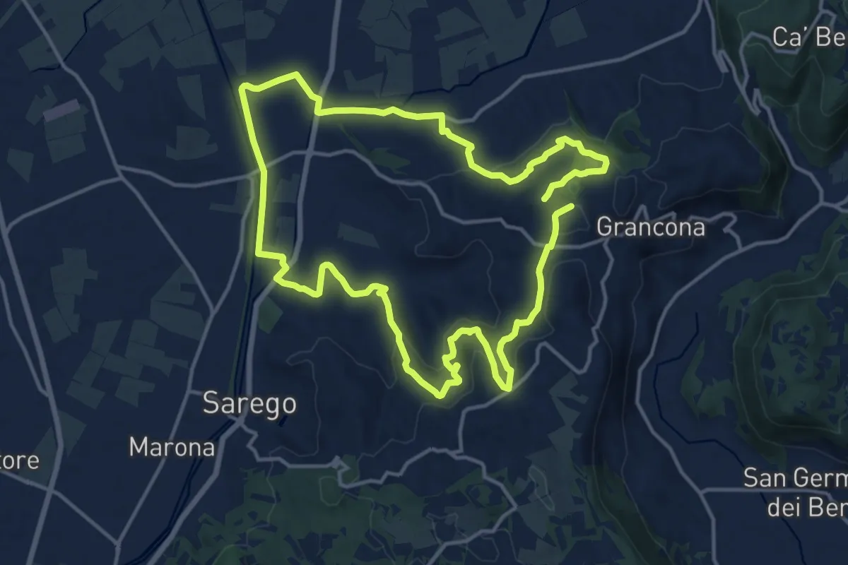
Demanding · Summit
Sentiero dei Monti di Meledo
27.6 km · ↑ 762 m · 8 h 10 min · 6 km away
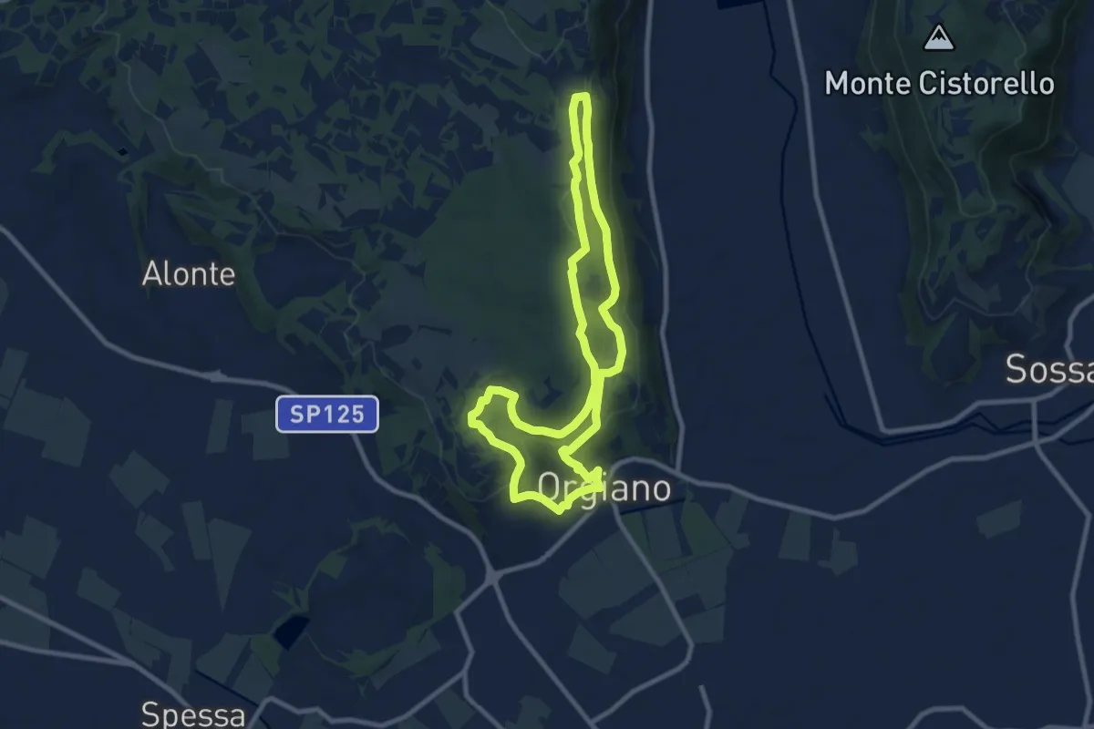
Medium · Summit
Sentiero n. 55 di Orgiano
8.8 km · ↑ 221 m · 2 h 40 min · 6 km away
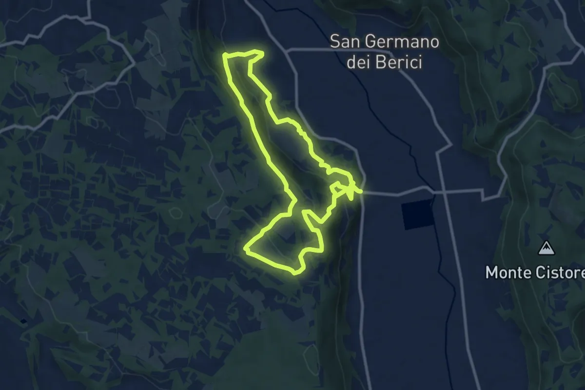
Medium · Trail
Sentiero n. 51 di Villa del Ferro o del Donatore
17.9 km · ↑ 650 m · 5 h 38 min · 6 km away
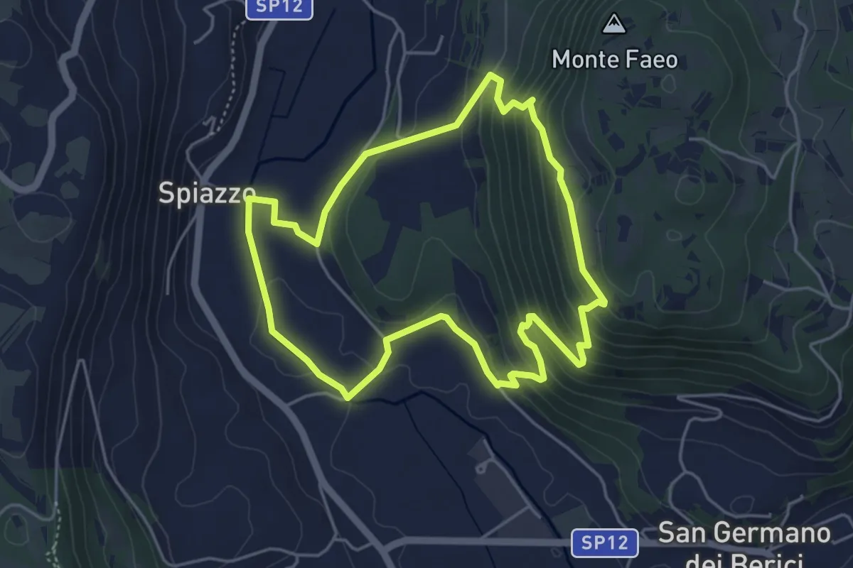
Easy · Trail
Sentiero n. 65 della Madonnetta o dei Frati
4.5 km · ↑ 229 m · 1 h 37 min · 7 km away
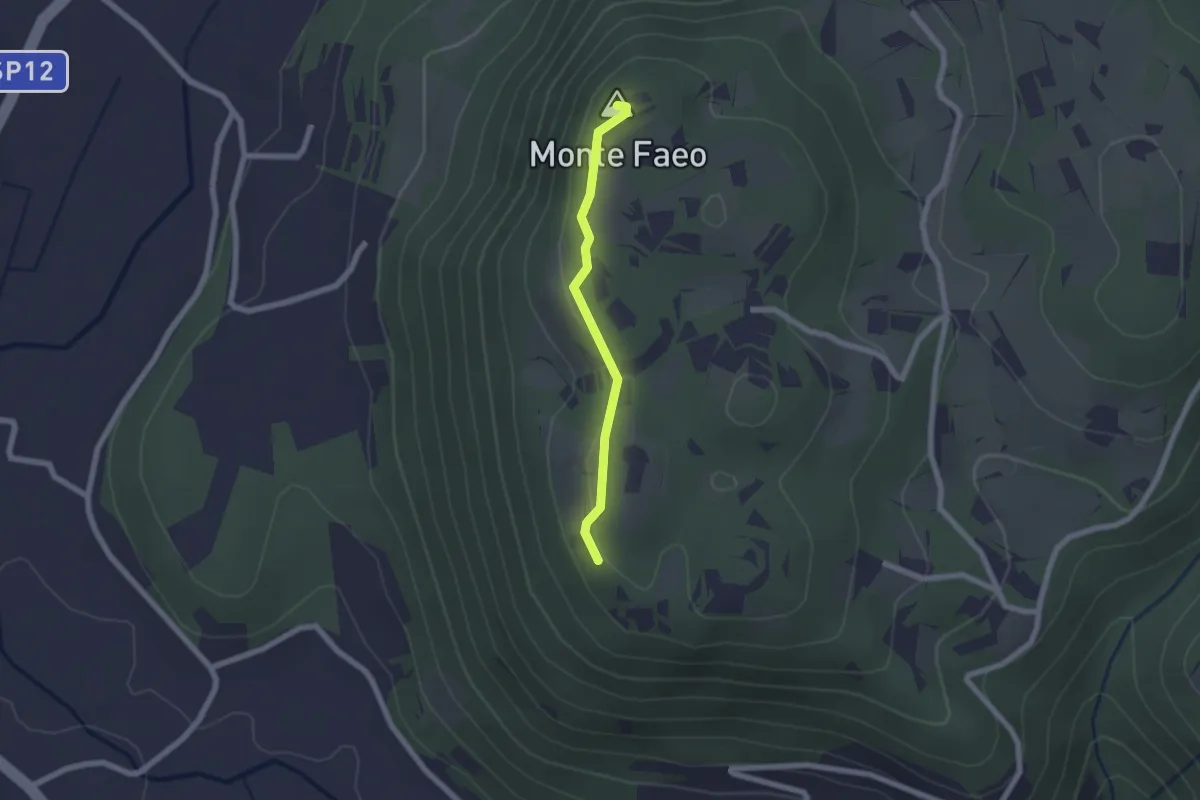
Easy · Summit
Sentiero n. 53 Variante del Monte Faeo
1.8 km · ↑ 29 m · 29 min · 7 km away
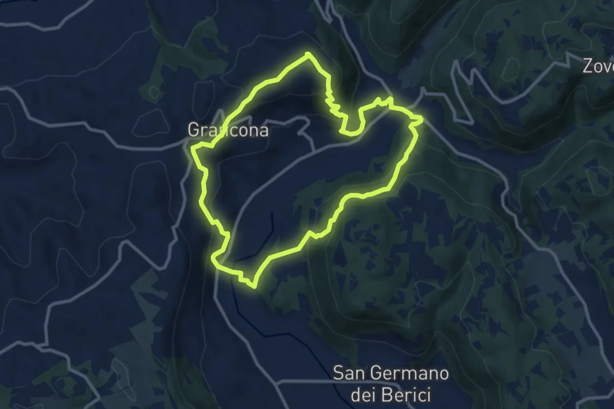
Medium · Summit
Sentiero n. 61 panoramico Pederiva - Spiazzo o di Val Liona
8.5 km · ↑ 432 m · 3 h 3 min · 7 km away
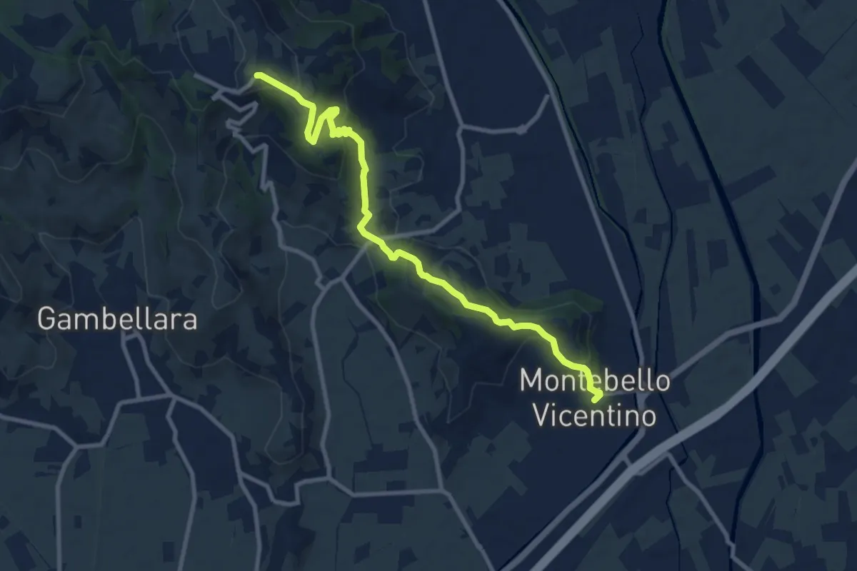
Medium · Trail
Percorso escursionistico “Mario Filotto”
9.7 km · ↑ 365 m · 3 h 5 min · 8 km away
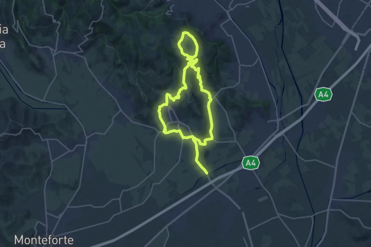
Medium · Trail
Strada del Recioto e dei vini di Gambellara
14.5 km · ↑ 364 m · 4 h 25 min · 8 km away
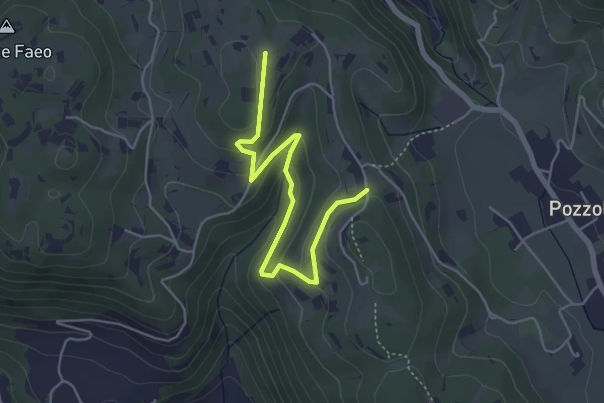
Easy · Trail
Sentiero n. 53 variante delle Vaccarette o della Fontana del Marcolin
4.4 km · ↑ 145 m · 1 h 21 min · 8 km away
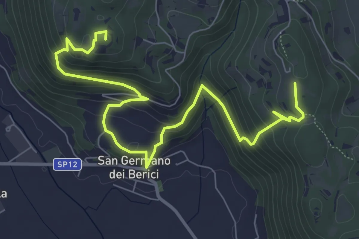
Medium · Summit
Sentiero n. 53 dei Curì e della Lupia (o di San Germano)
8.7 km · ↑ 500 m · 3 h 9 min · 8 km away
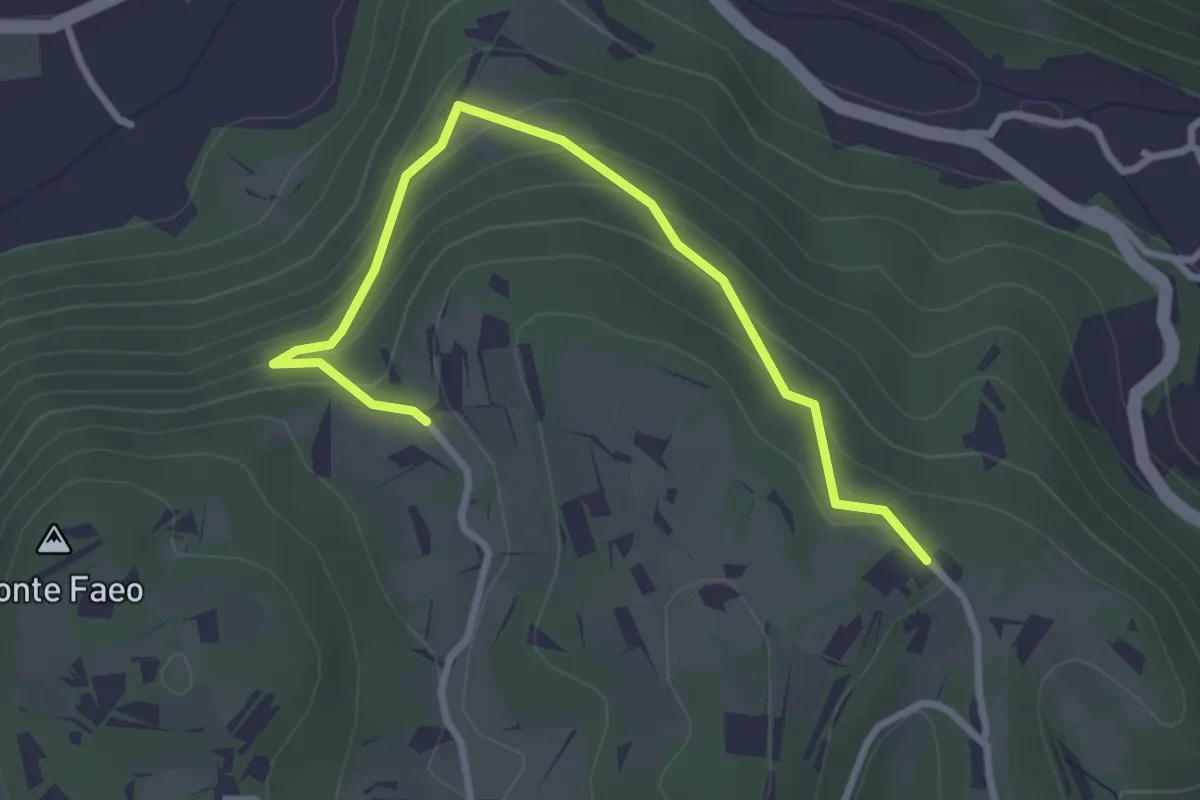
Easy · Trail
Sentiero n. 53 variante della Fontana dei Casalini
3.3 km · ↑ 194 m · 1 h 12 min · 8 km away
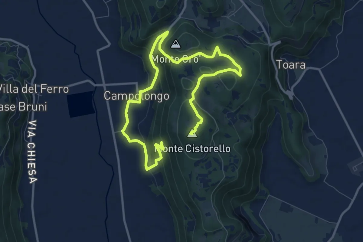
Medium · Summit
Sentiero di Campolongo
12.7 km · ↑ 424 m · 3 h 55 min · 8 km away
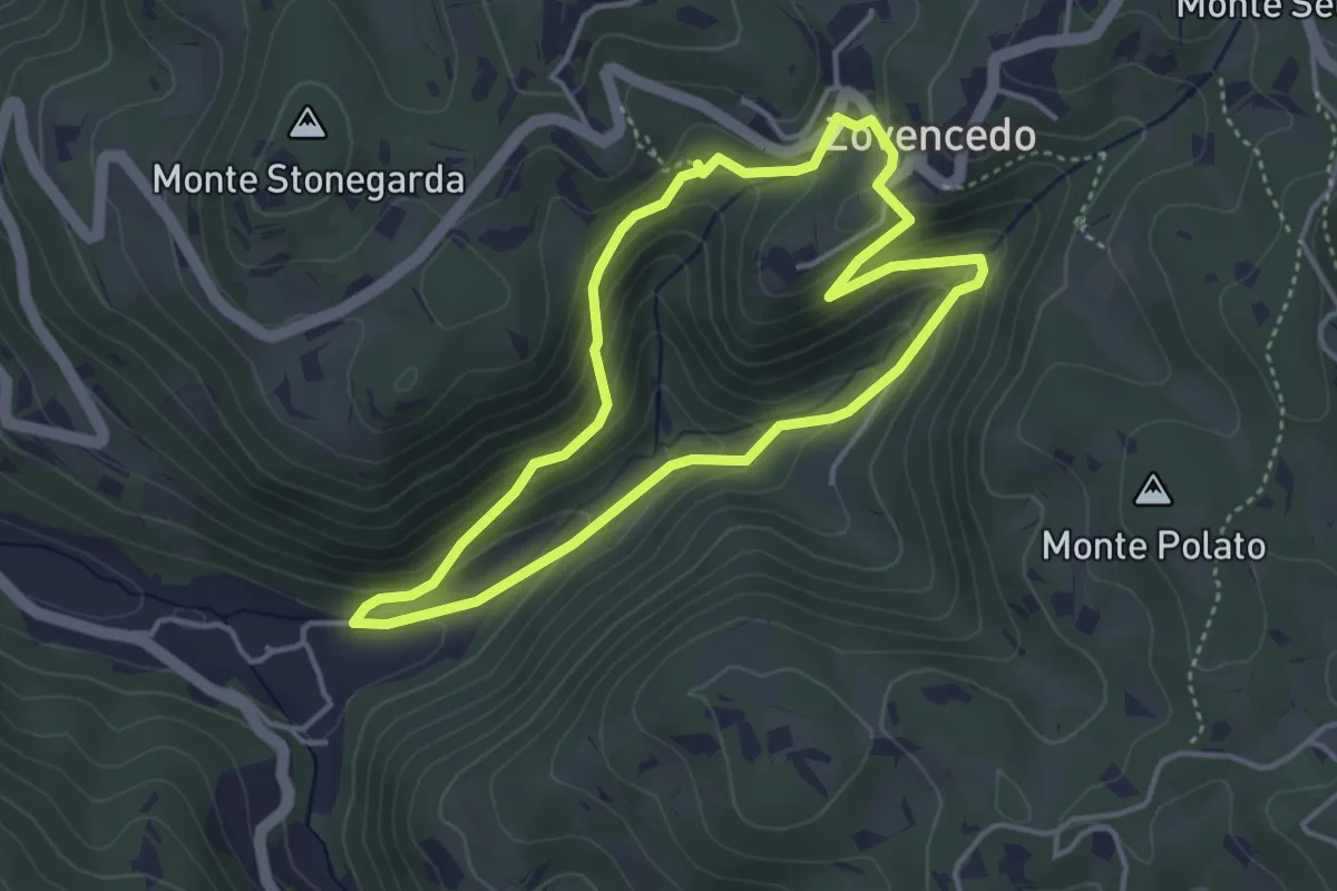
Easy · Trail
Itinerario pedonale 3 di Corte Calto - Zovencedo
3.7 km · ↑ 201 m · 1 h 22 min · 9 km away
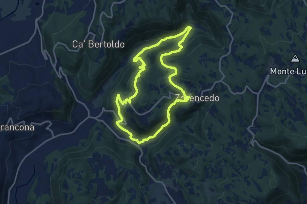
Medium · Trail
Life+ Zovencedo Calto San Gottardo
9.2 km · ↑ 449 m · 3 h 16 min · 9 km away
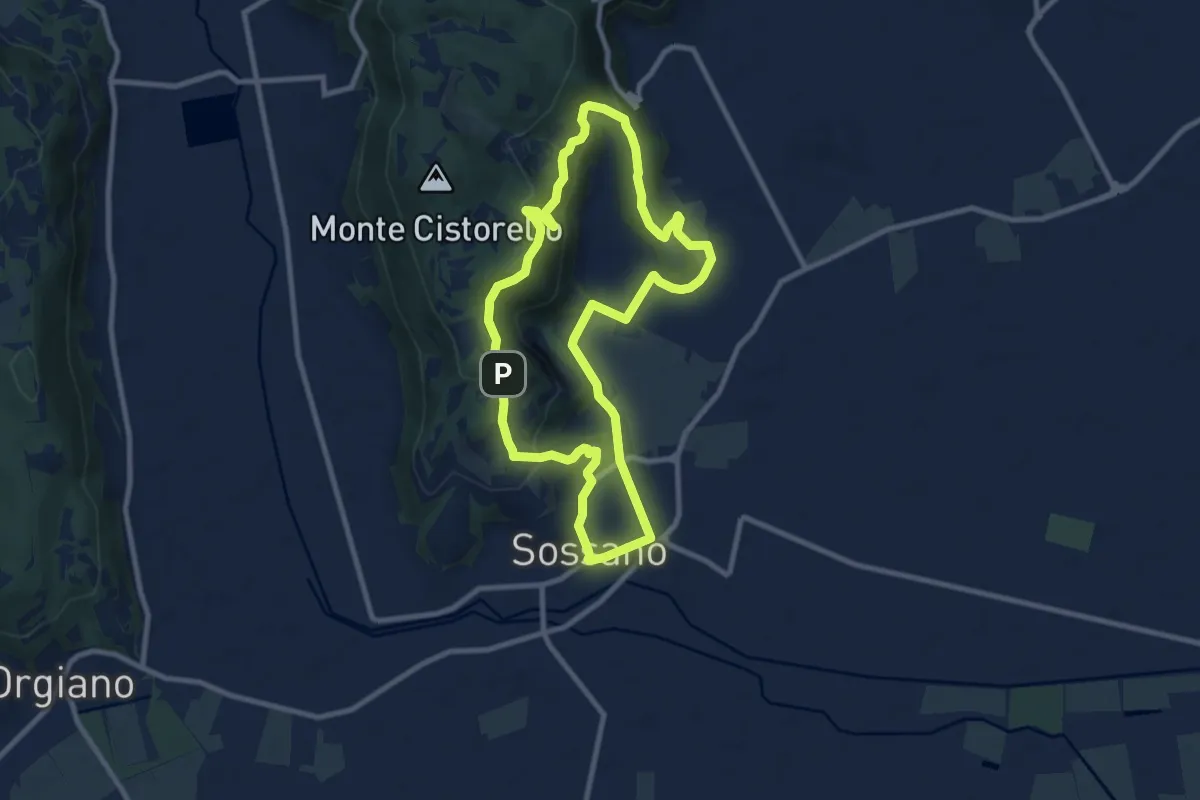
Medium · Trail
Sentiero n. 56 delle Fontane
9.3 km · ↑ 295 m · 2 h 57 min · 9 km away
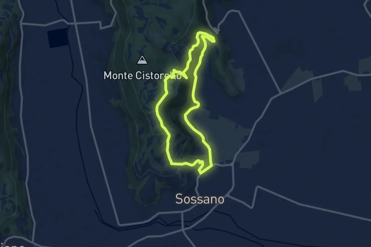
Easy · Summit
Sentiero n. 52 del Grumale
7.4 km · ↑ 280 m · 2 h 27 min · 10 km away
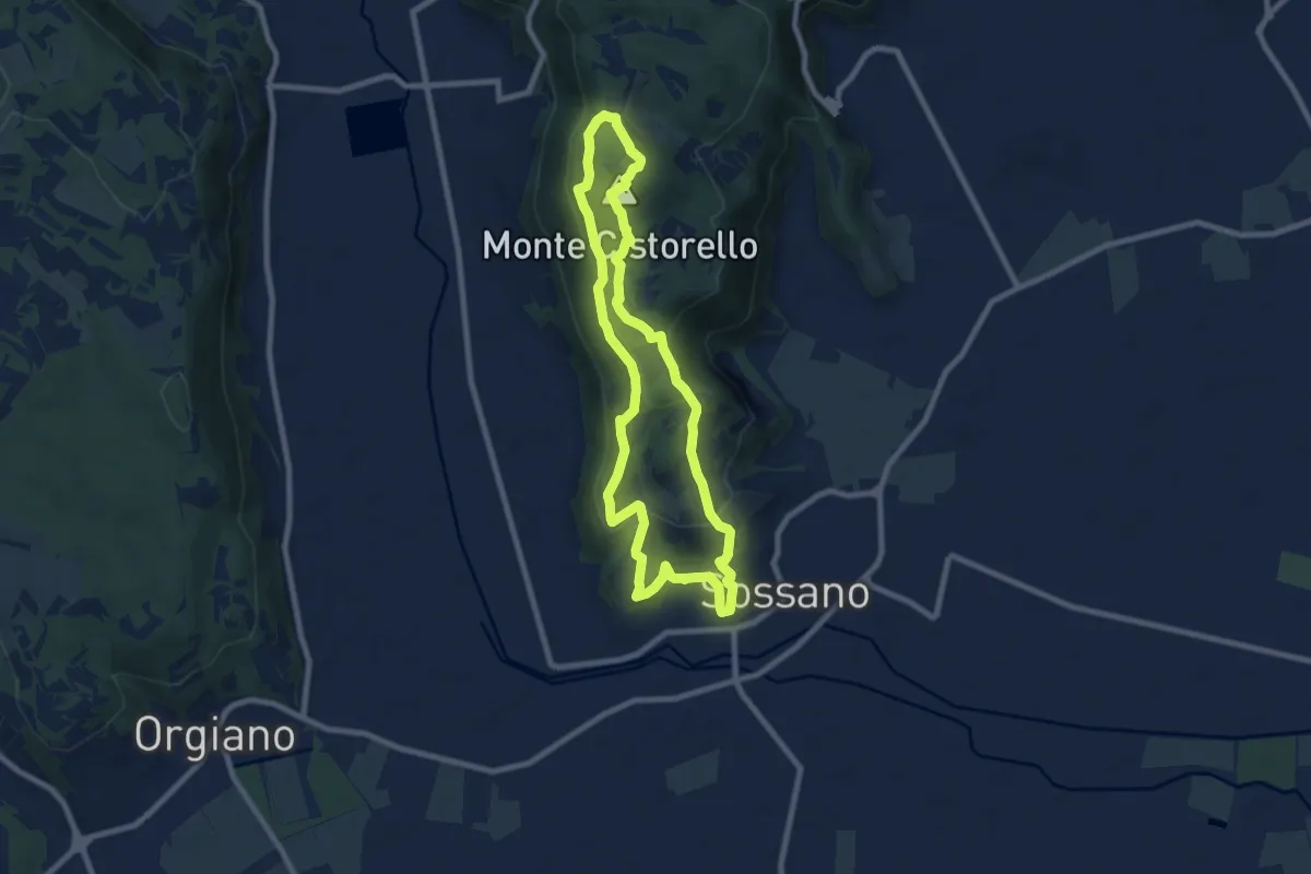
Medium · Summit
Sentiero n. 57 del Monte Cistorello
8.1 km · ↑ 308 m · 2 h 41 min · 10 km away
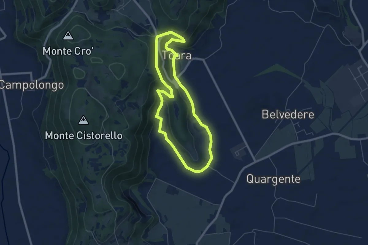
Easy · Trail
Sentiero delle Riveselle
5.5 km · ↑ 154 m · 1 h 43 min · 10 km away
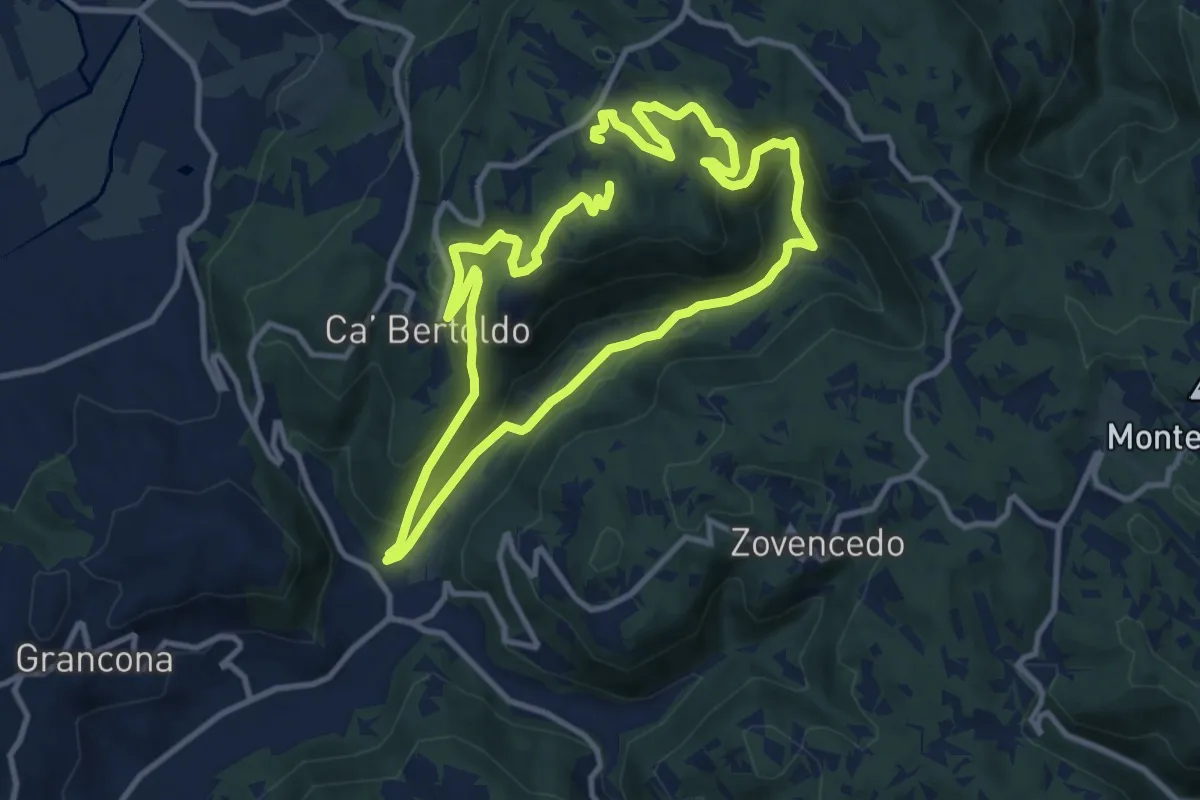
Demanding · Trail
Sentiero delle Fontane di Zovencedo
20.8 km · ↑ 849 m · 6 h 45 min · 10 km away
Medium · Trail
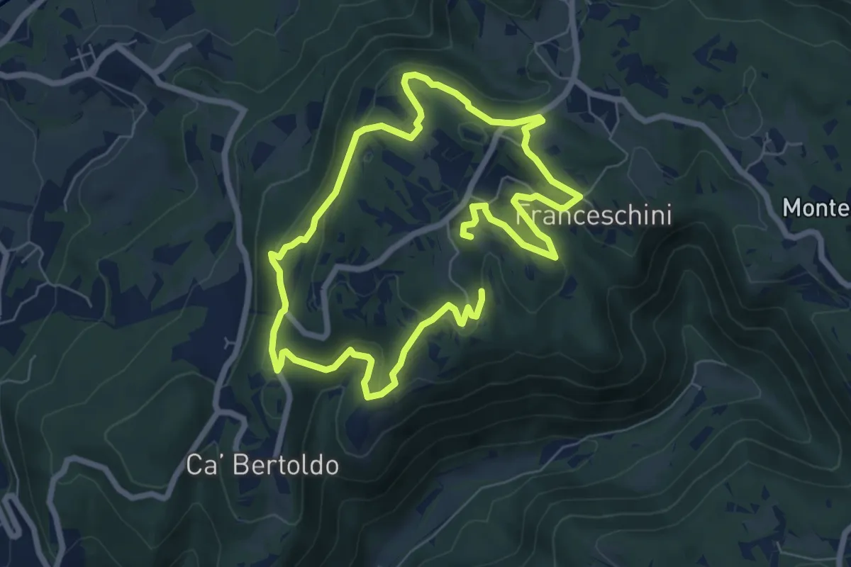
Sentiero di San Gottardo
12.1 km · ↑ 378 m · 3 h 41 min · 10 km away
Easy · Summit
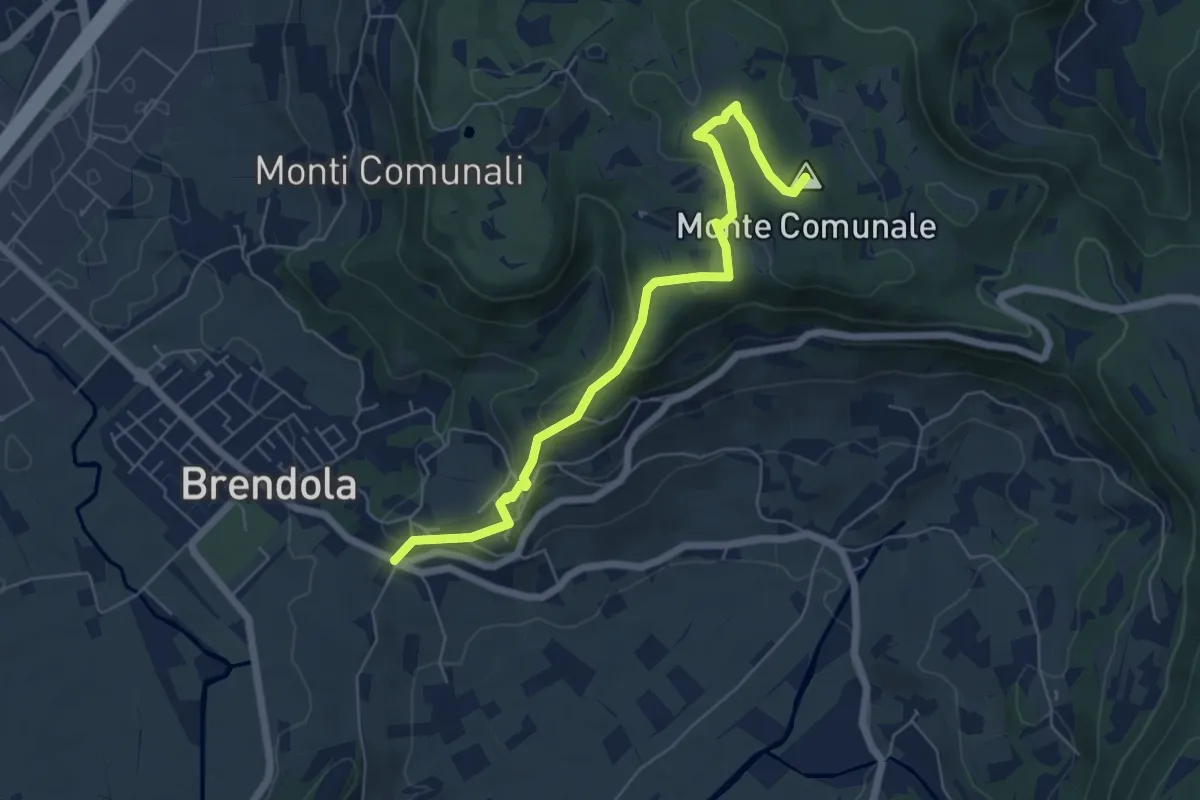
Sentiero della Grande Guerra
6.5 km · ↑ 249 m · 2 h 4 min · 10 km away
Demanding · Trail
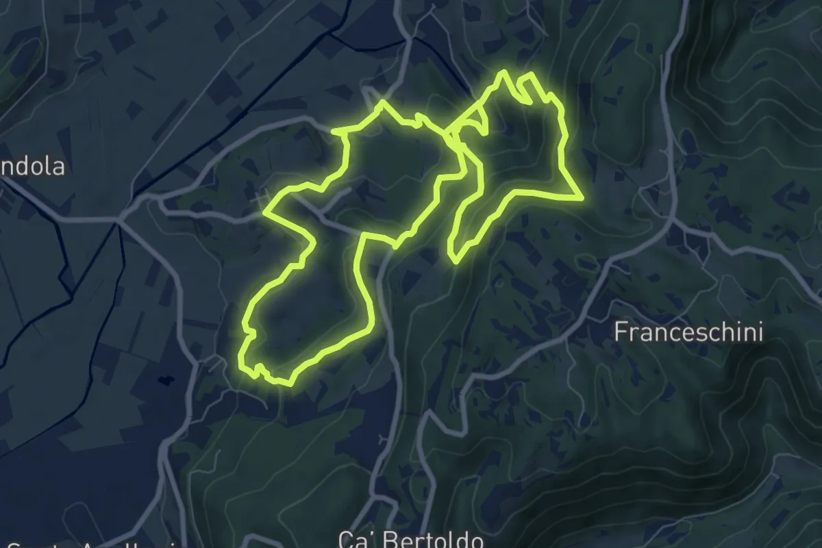
Sentiero n. 31 di San Vito e delle fontane
18.3 km · ↑ 1045 m · 6 h 35 min · 11 km away
Medium · Summit
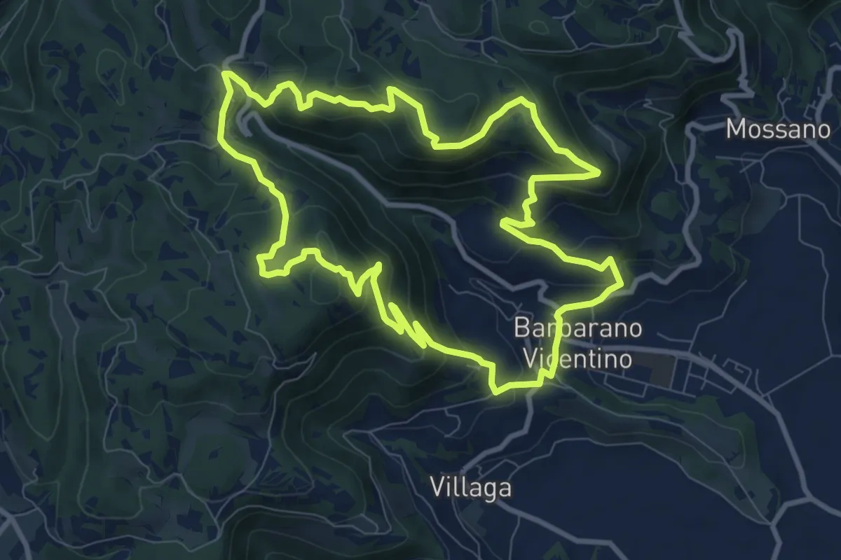
Sentiero della Cengia
9.4 km · ↑ 500 m · 3 h 25 min · 11 km away
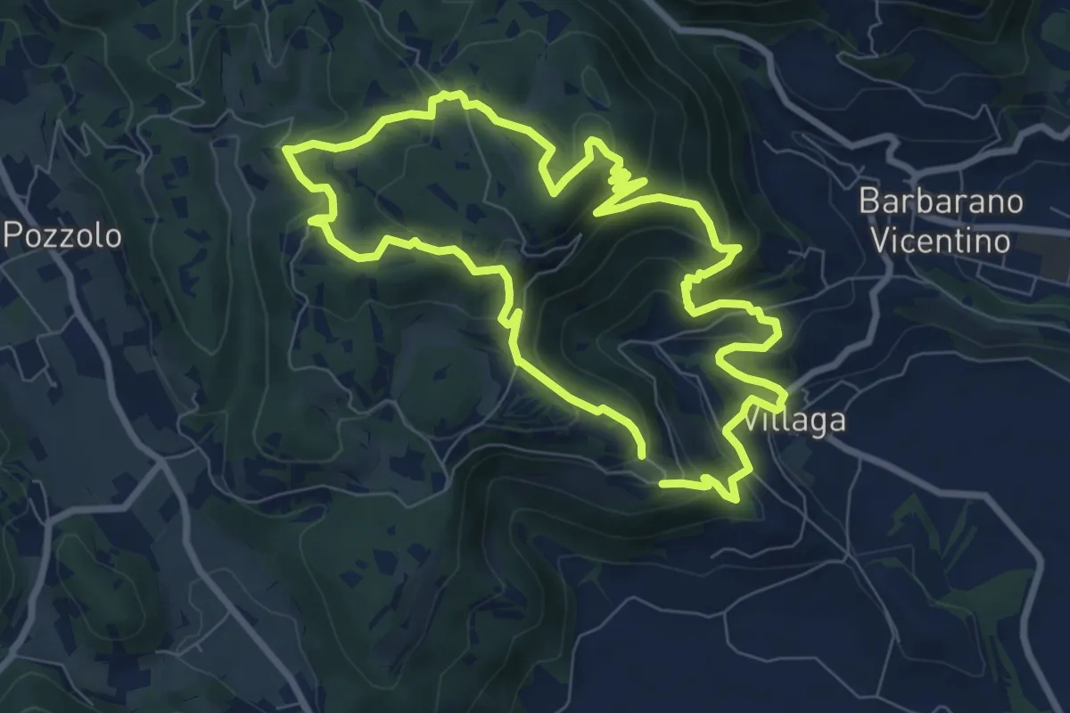
Medium · Summit
Sentiero dell'Eremo di San Donato
8.0 km · ↑ 429 m · 2 h 56 min · 11 km away
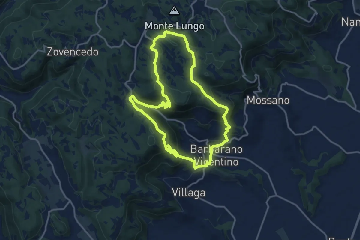
Medium · Summit
Sentiero della Scudelletta
10.0 km · ↑ 558 m · 3 h 43 min · 11 km away
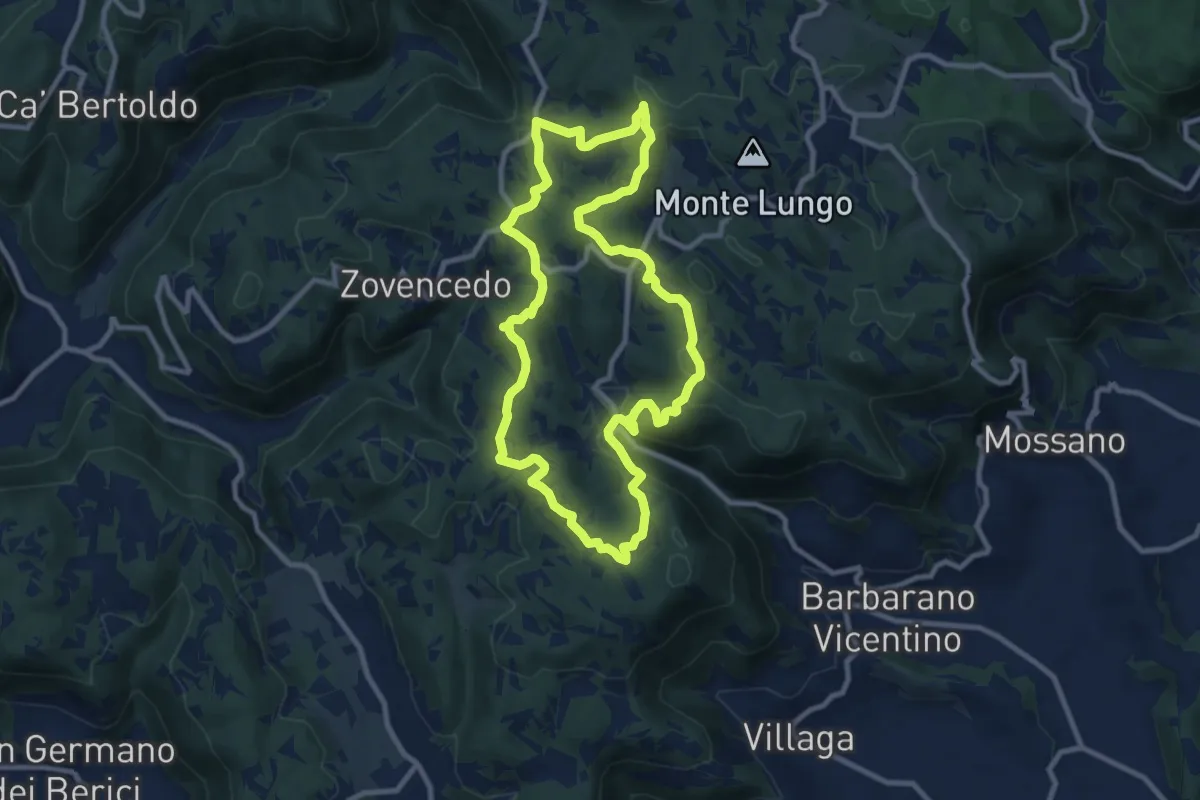
Medium · Summit
Sentiero delle Fontanelle
9.6 km · ↑ 302 m · 3 h 4 min · 11 km away
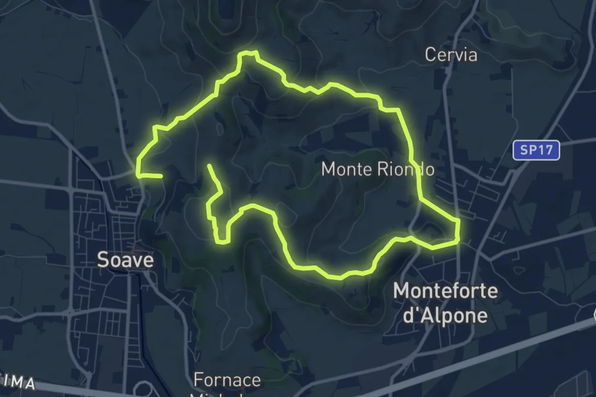
Medium · Trail
Percorso dei 10 Capitelli
8.6 km · ↑ 229 m · 2 h 41 min · 11 km away
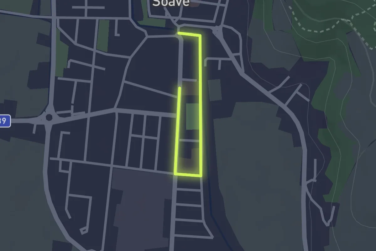
Easy · Trail
Percorso Scuole di Soave
2.2 km · ↑ 0 m · 31 min · 11 km away
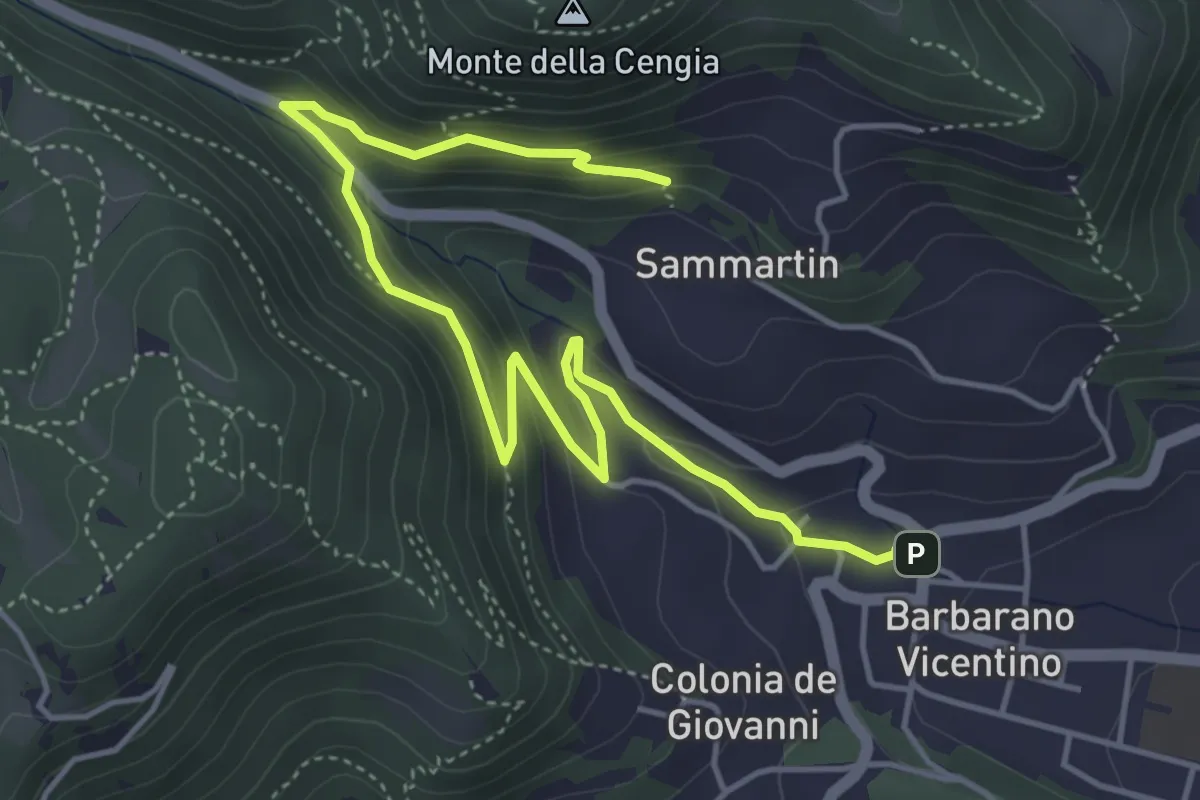
Medium · Trail
Sentiero della Fontana del Lavello
5.9 km · ↑ 329 m · 2 h 7 min · 12 km away
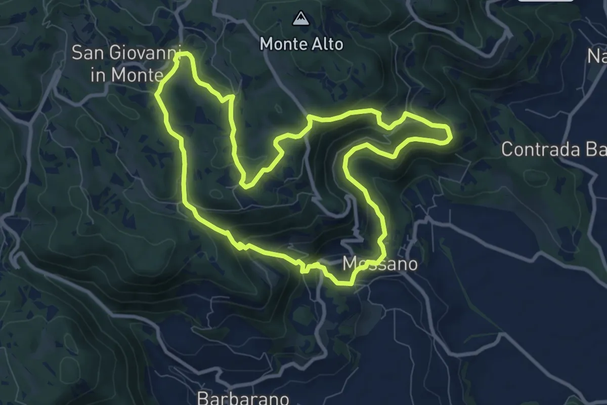
Medium · Summit
Sentiero di San Bernardino
8.9 km · ↑ 389 m · 3 h 3 min · 13 km away
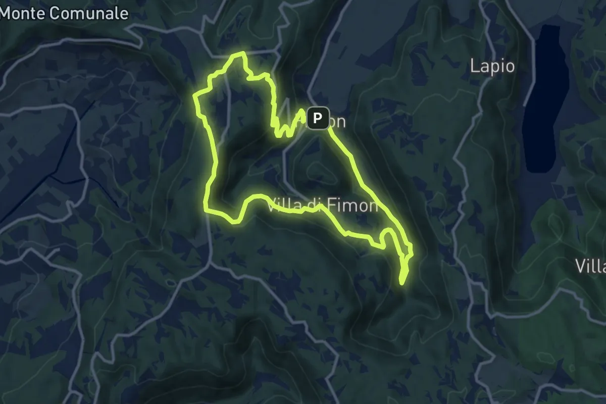
Medium · Trail
Sentiero degli Scaranti di Fimon
10.5 km · ↑ 371 m · 3 h 25 min · 13 km away
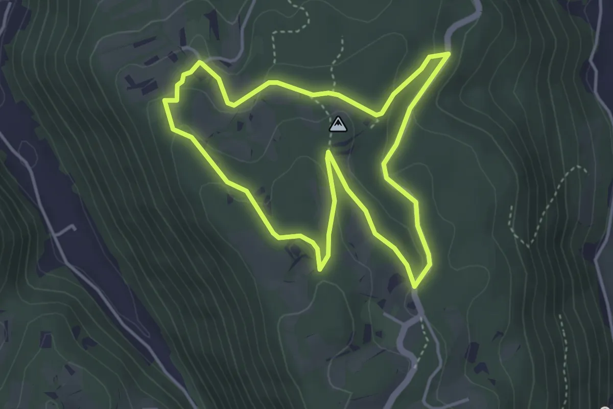
Easy · Trail
Sentiero delle Doline di Lapio
3.9 km · ↑ 118 m · 1 h 14 min · 14 km away
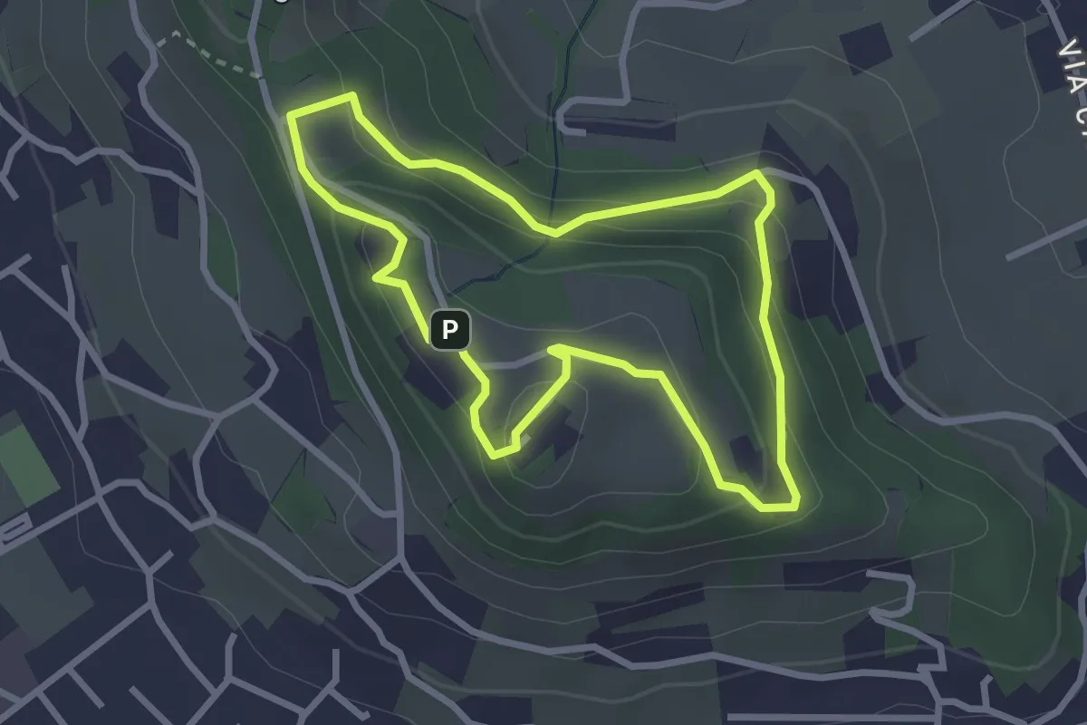
Easy · Trail
10-Percorso Natura
2.6 km · ↑ 128 m · 55 min · 14 km away
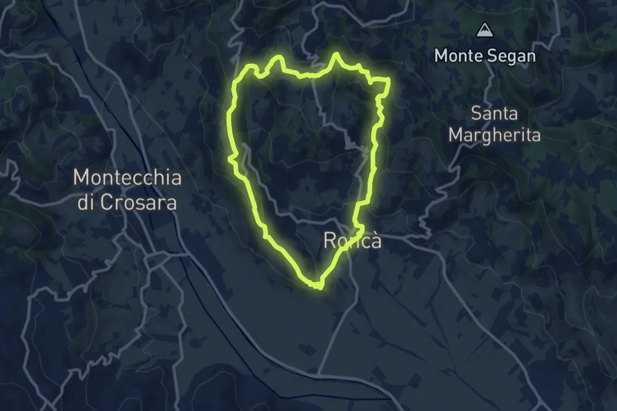
Medium · Summit
B
9.2 km · ↑ 352 m · 3 h 4 min · 14 km away
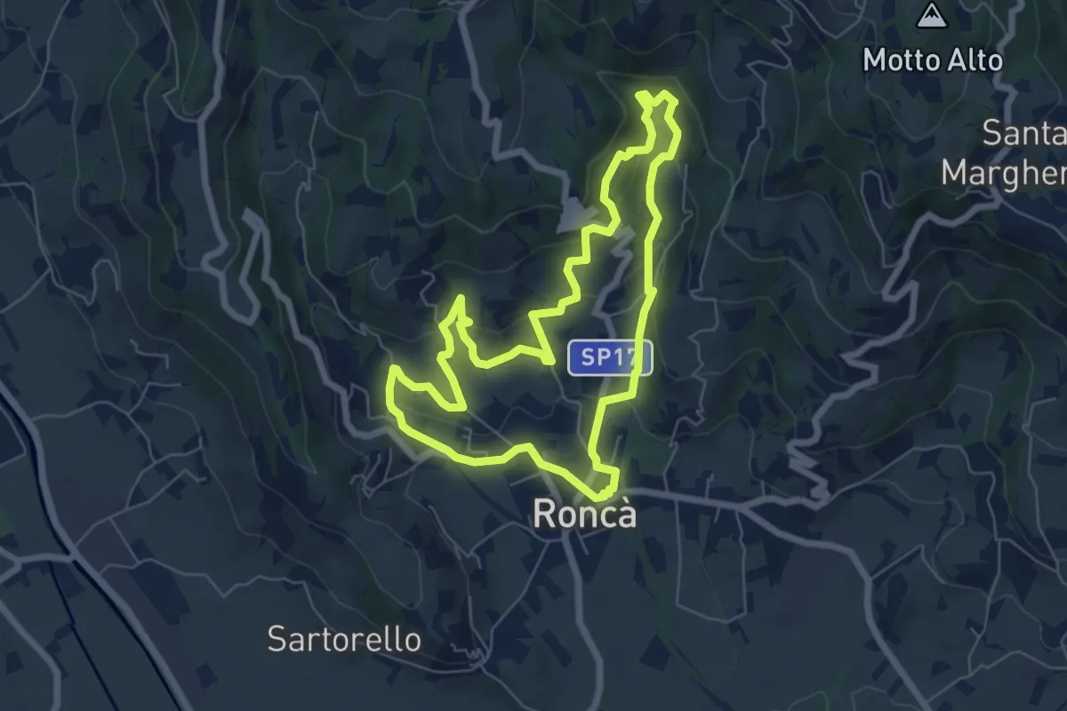
Easy · Trail
A
6.3 km · ↑ 267 m · 2 h 9 min · 14 km away
Easy · Trail
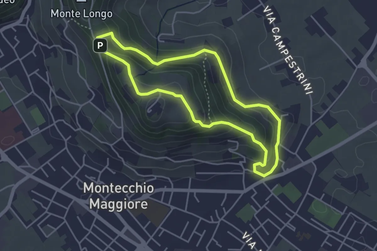
01-Fontana della Nova, Castelli e Montenero
3.6 km · ↑ 155 m · 1 h 14 min · 14 km away
Easy · Summit
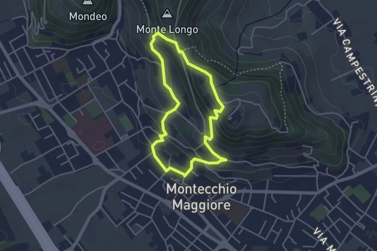
02-Fontana Alta e Fontana Giuliani
3.0 km · ↑ 150 m · 1 h 4 min · 14 km away
Medium · Summit
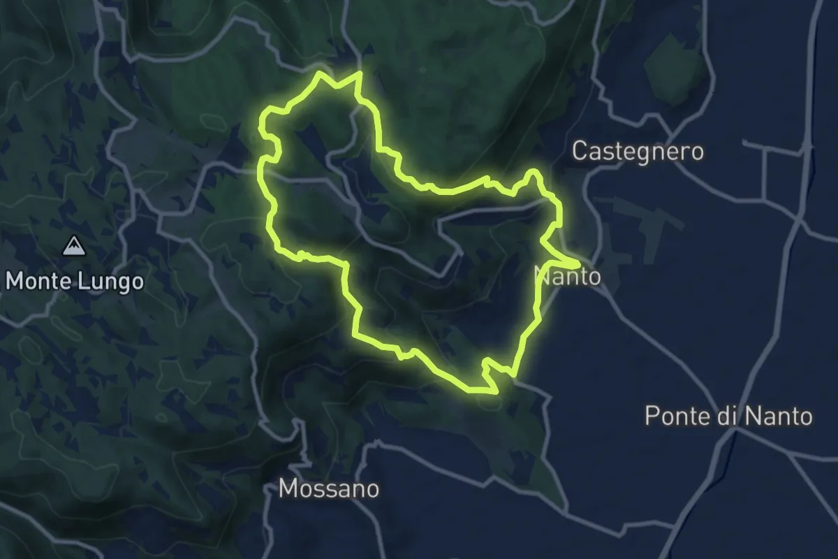
Sentiero dei Monti di Nanto
9.5 km · ↑ 452 m · 3 h 21 min · 14 km away
Medium · Trail
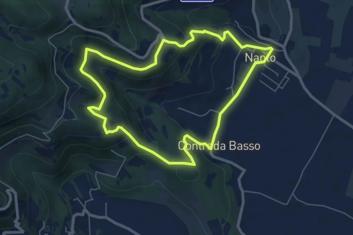
Sentiero degli Ulivi
5.3 km · ↑ 250 m · 1 h 52 min · 14 km away
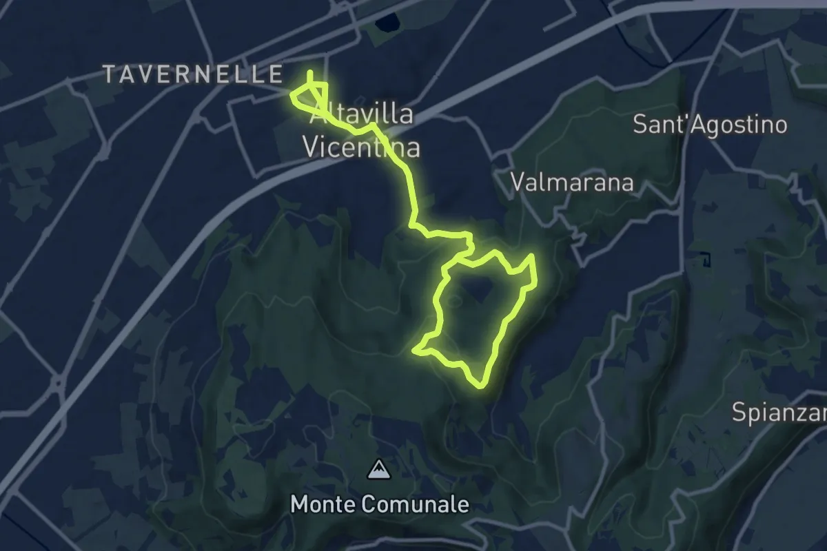
Easy · Trail
Percorso Circolare di Altavilla - 10 km
7.7 km · ↑ 123 m · 2 h 15 min · 14 km away
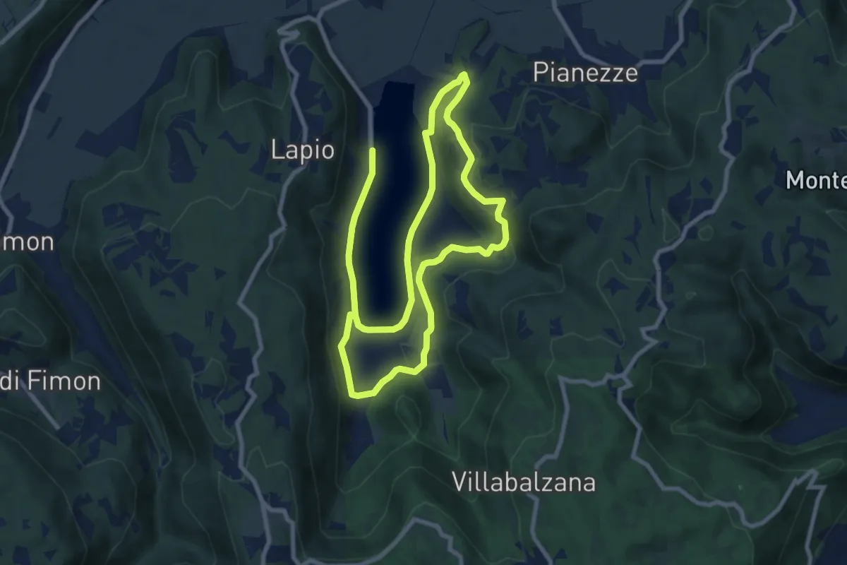
Medium · Trail
Percorso BLU - Pianezze
15.1 km · ↑ 308 m · 4 h 14 min · 15 km away
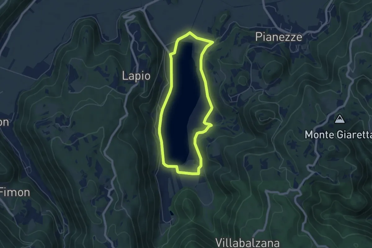
Easy · Trail
Percorso ARANCIO - Lago Alto
5.0 km · ↑ 56 m · 1 h 22 min · 15 km away
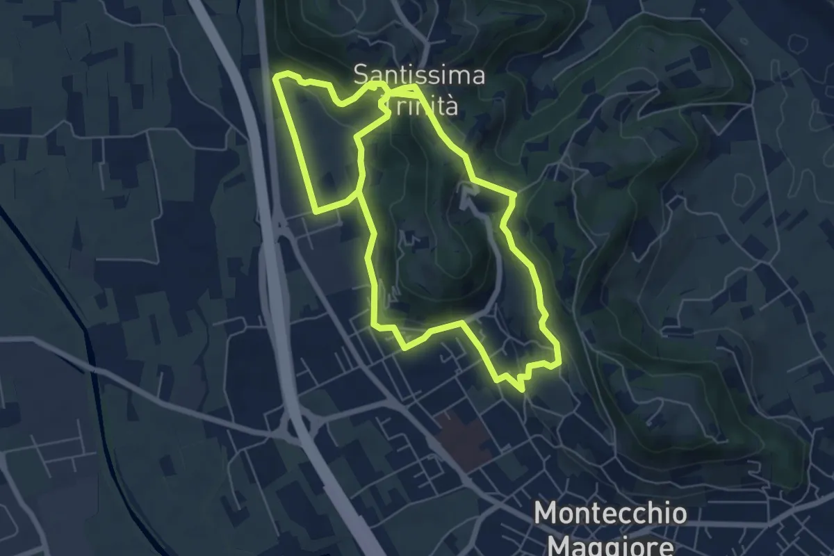
Easy · Summit
03-Strada Carpiana e valle San Clemente
6.4 km · ↑ 305 m · 2 h 13 min · 15 km away