Trails near Luino
373 hikes starting within 15 km, nearest first.
Nearest first, page 2 of 8
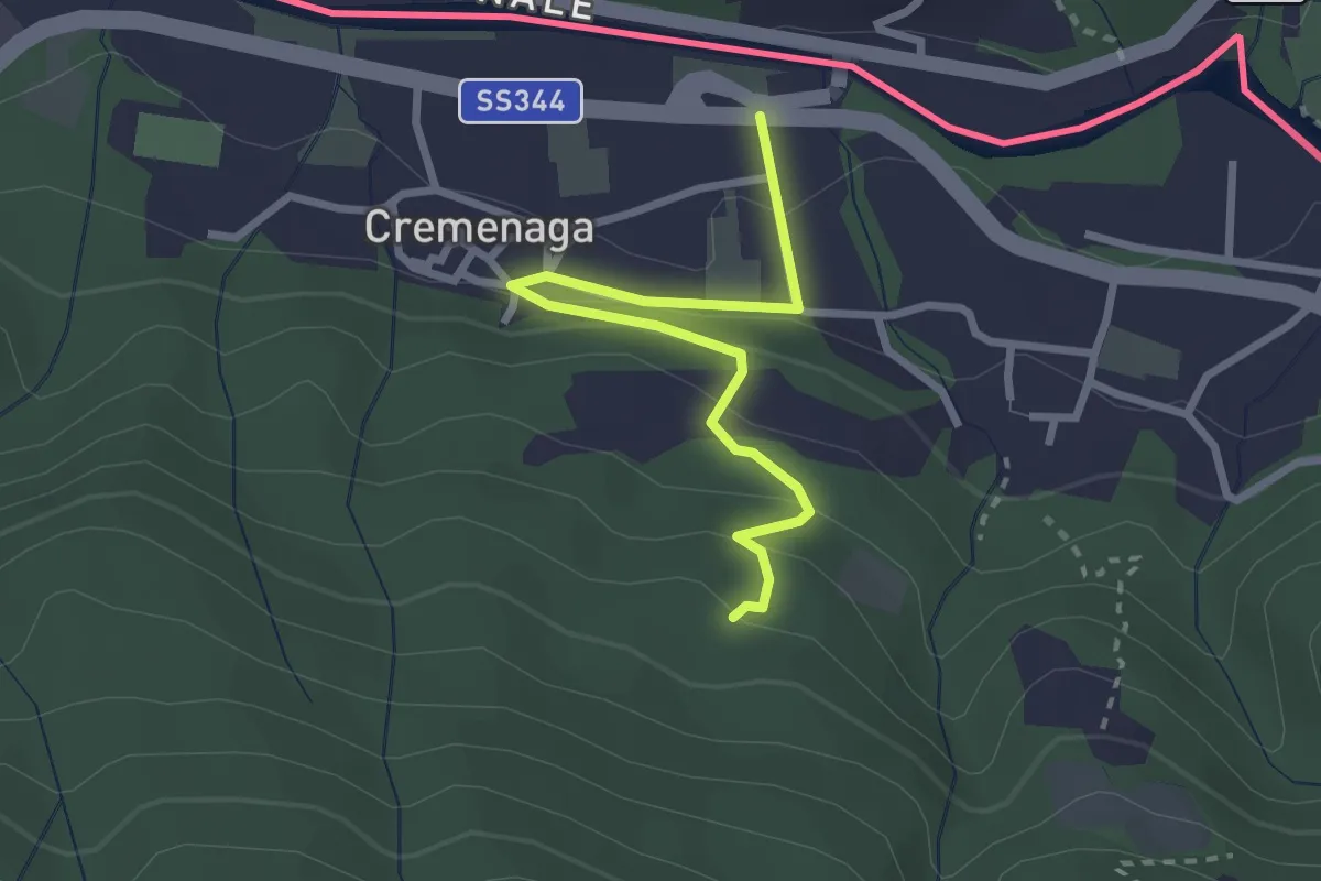
Easy · Trail
Cremenaga – Pian della Nave - M. Sette Termini
2.7 km · ↑ 139 m · 56 min · 5 km away
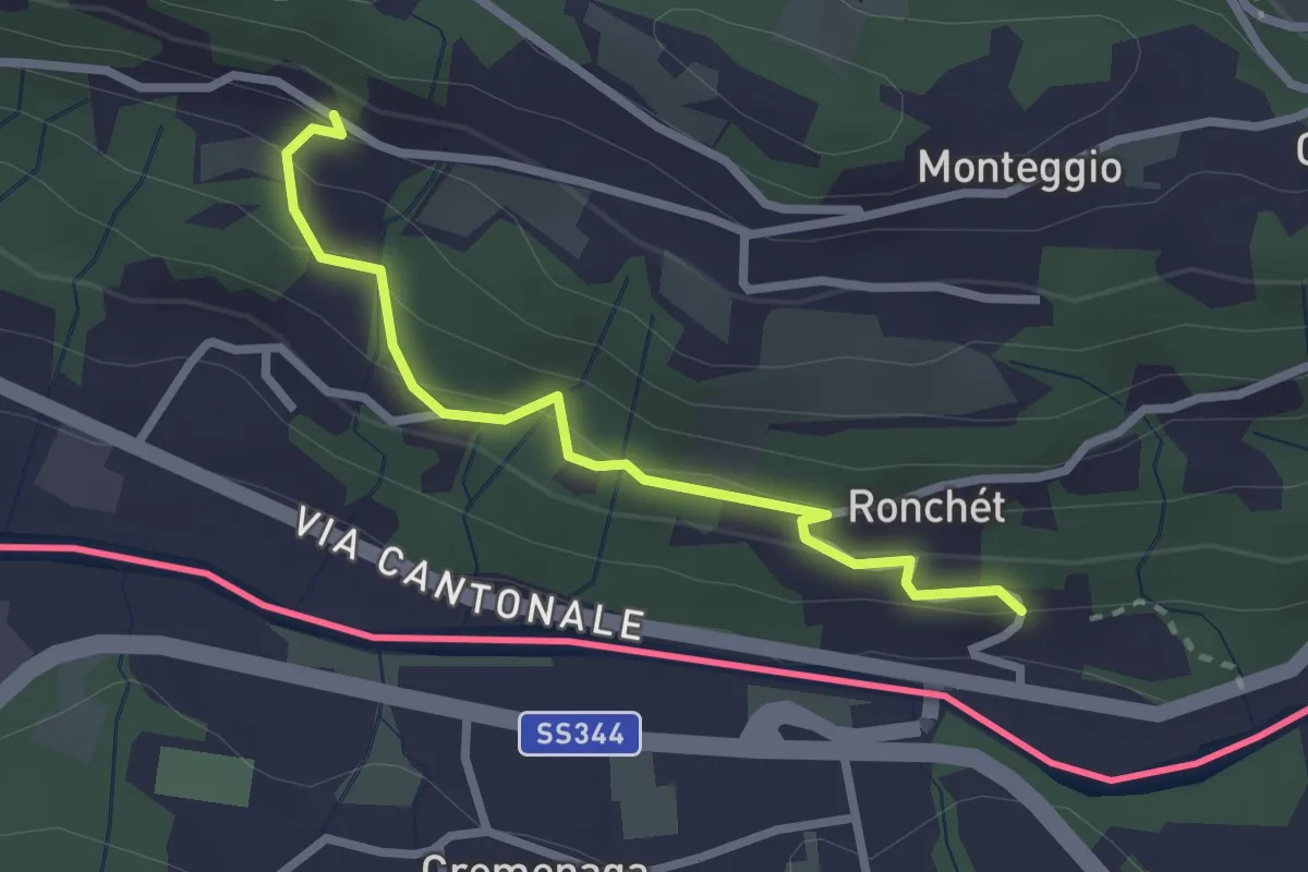
Easy · Trail
Rovedera – Ponte Cremenaga
2.5 km · ↑ 150 m · 55 min · 5 km away
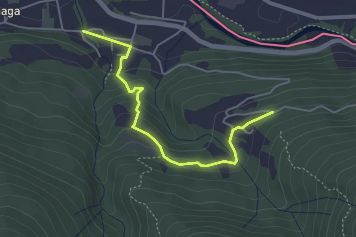
Easy · Trail
Cremenaga Cappella degli Alpini – Avigno
3.7 km · ↑ 187 m · 1 h 17 min · 5 km away
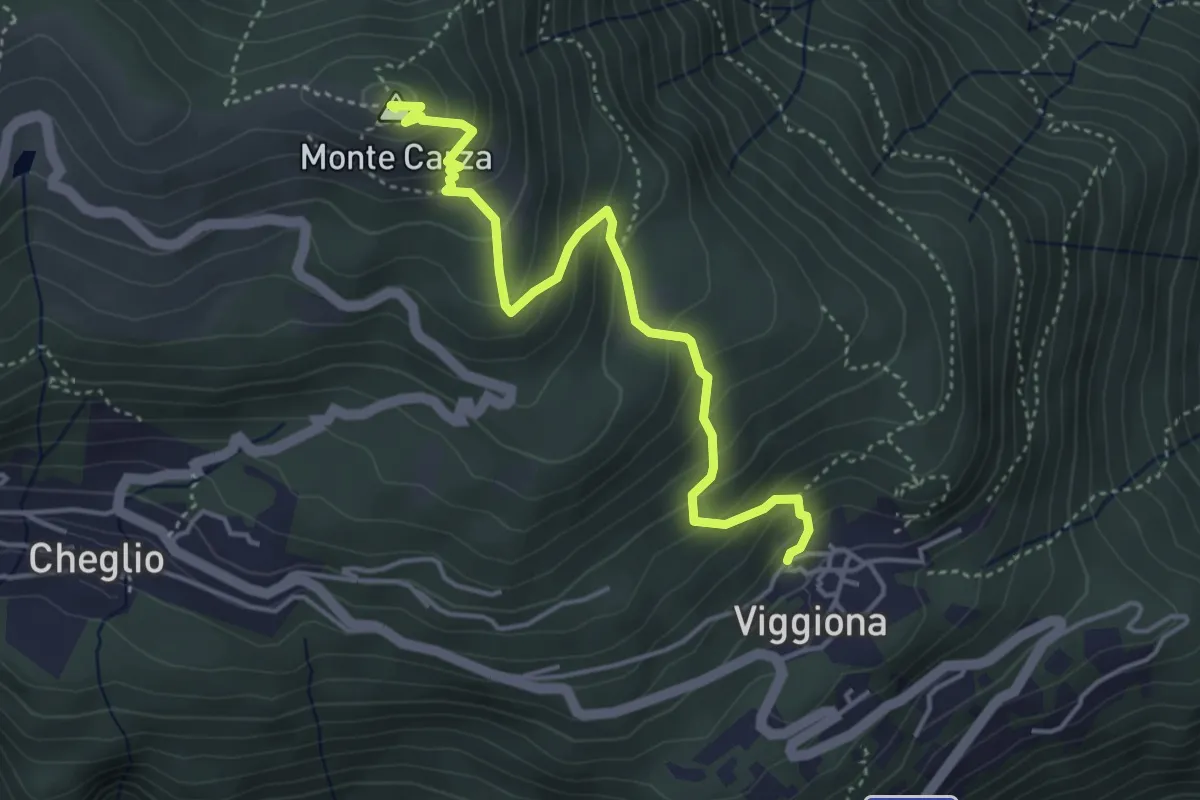
Medium · Summit
R42 Viggiona - Monte Carza
4.4 km · ↑ 382 m · 1 h 52 min · 5 km away
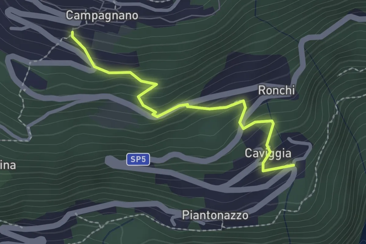
Medium · Trail
Caviggia – Campagnano
2.2 km · ↑ 183 m · 55 min · 5 km away
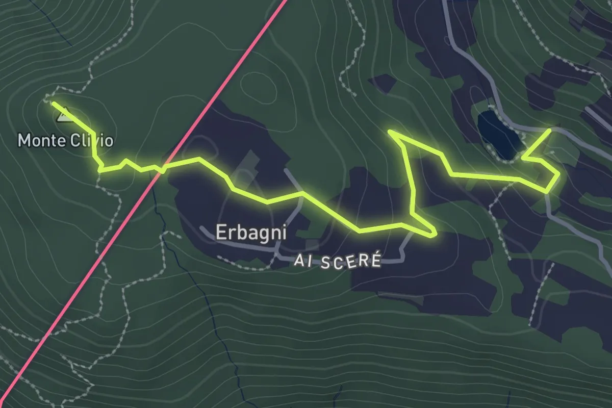
Easy · Trail
Trezzino – Monte Clivio-Laghetto di Astano
3.6 km · ↑ 123 m · 1 h 7 min · 5 km away
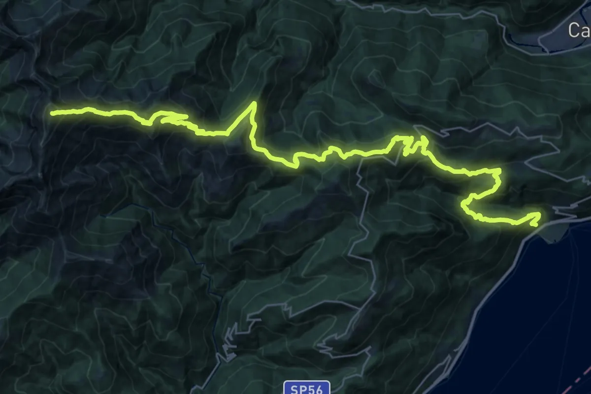
Demanding · Summit
R20 Cannero - Oggiogno - Trarego - Cima l'Alpe - Monte Spalavera - Pian Puzz - Archia - Passo Folungo - Monte Zeda
41.4 km · ↑ 2801 m · 15 h 50 min · 6 km away
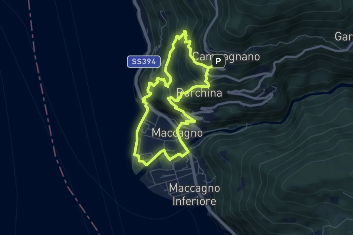
Medium · Trail
Sentiero della Gabella
5.6 km · ↑ 417 m · 2 h 19 min · 6 km away
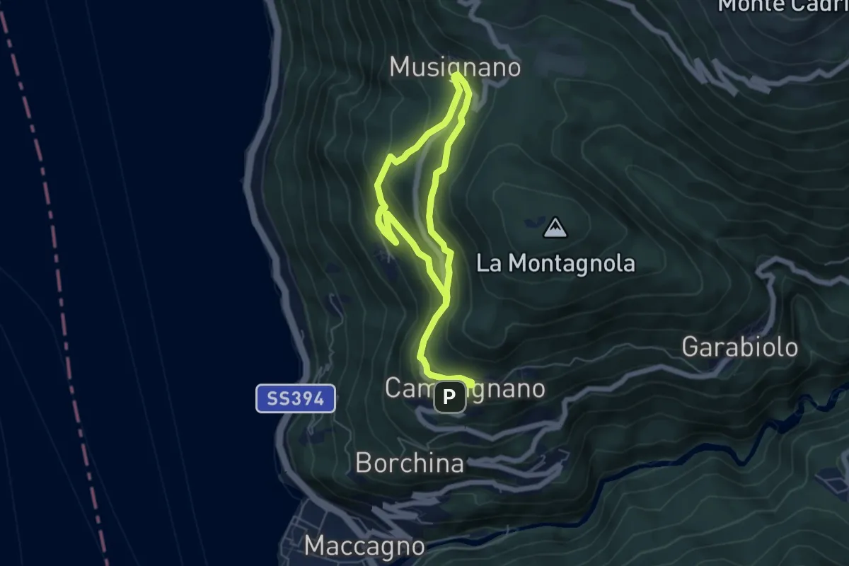
Medium · Trail
Campagnano – Musignano
8.6 km · ↑ 534 m · 3 h 11 min · 6 km away
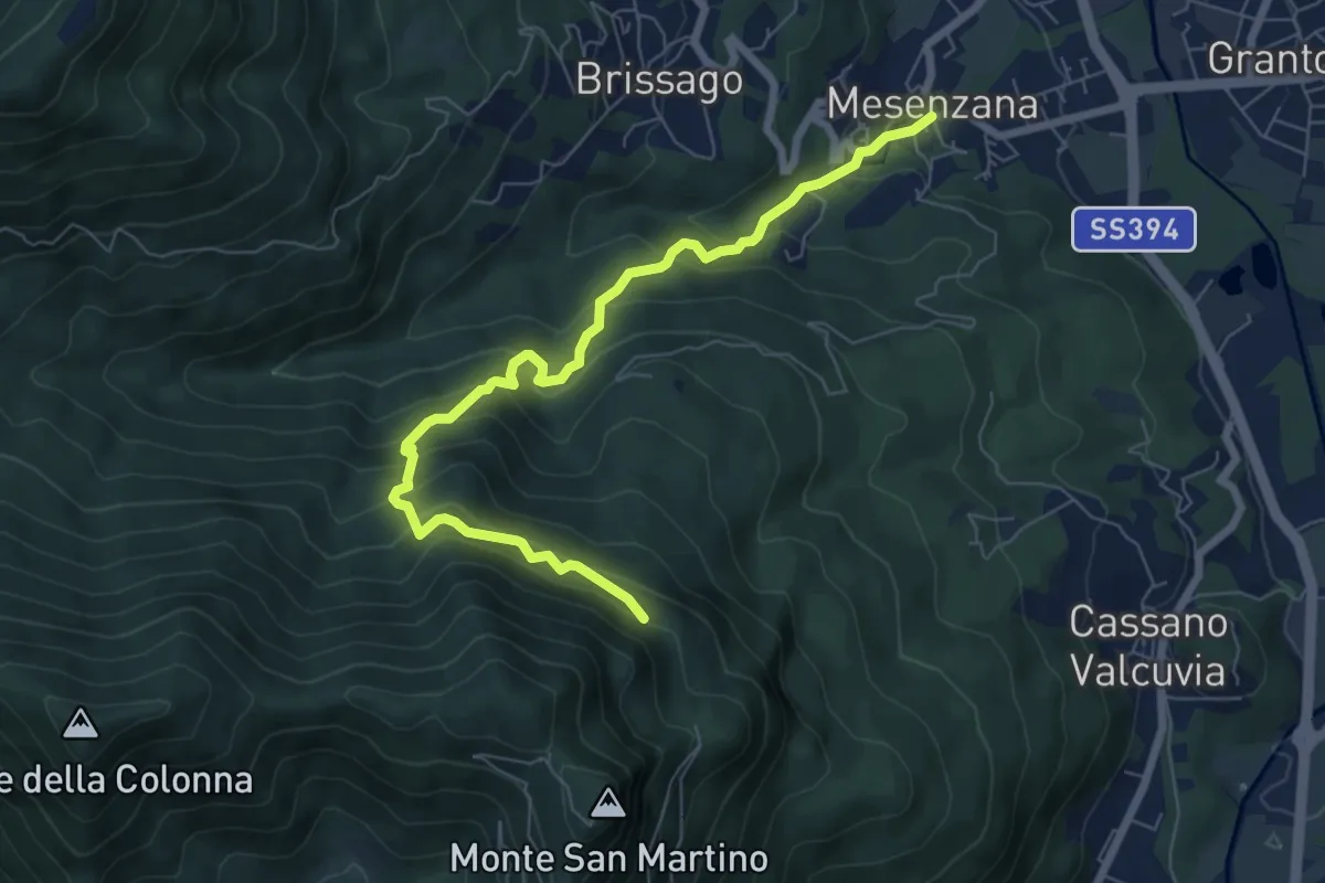
Medium · Trail
250A Strada dei Moianchi
7.6 km · ↑ 710 m · 3 h 19 min · 6 km away
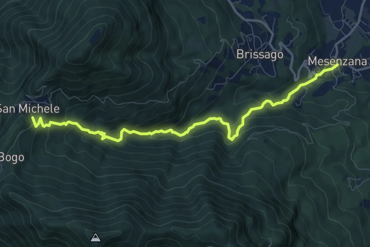
Medium · Trail
250 Sentiero Insubrico
9.8 km · ↑ 740 m · 3 h 55 min · 6 km away
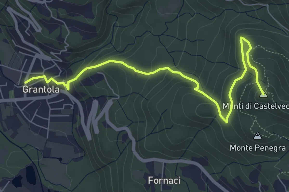
Medium · Summit
Grantola – Cunardo
6.8 km · ↑ 417 m · 2 h 30 min · 6 km away
Medium · Summit
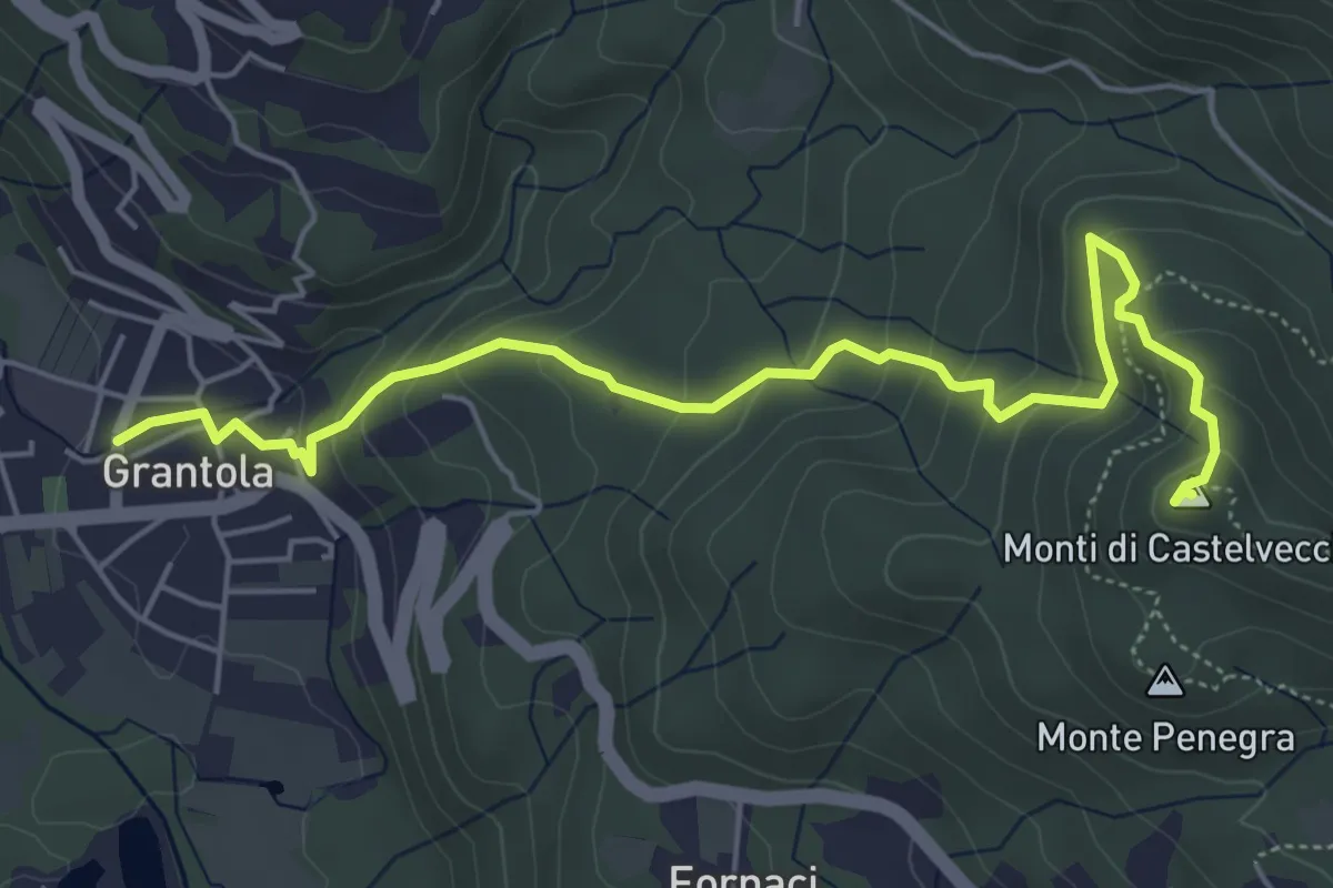
Grantola – Cugliate Fabiasco
6.2 km · ↑ 392 m · 2 h 19 min · 6 km away
Medium · Trail
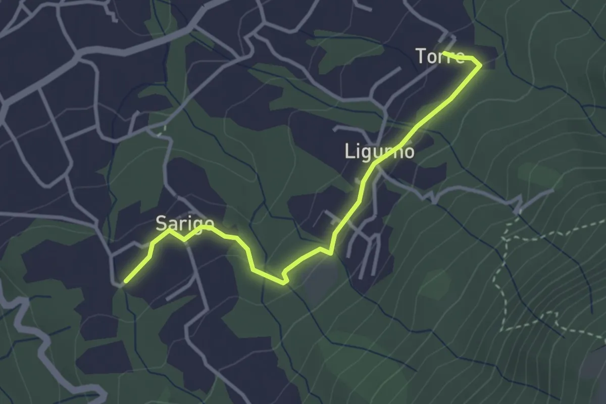
Torre – Sarigo
3.1 km · ↑ 84 m · 55 min · 6 km away
Medium · Trail
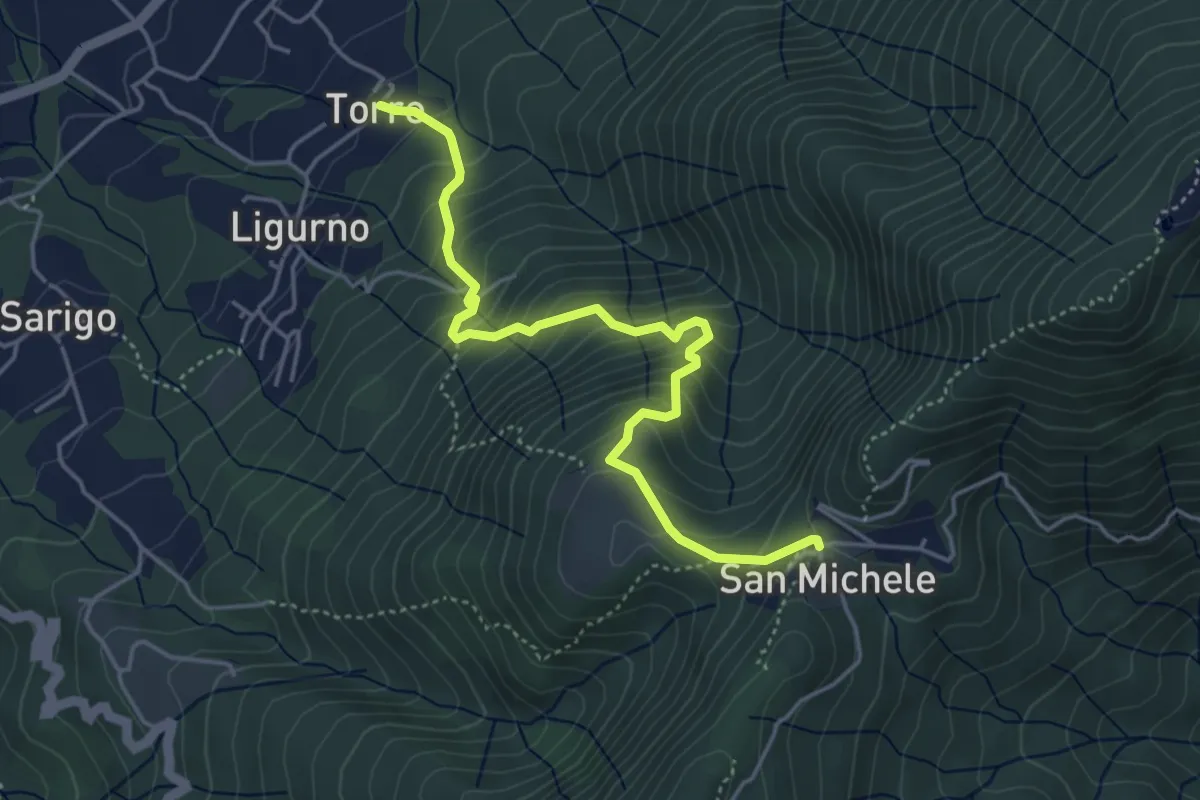
Località Torre – San Michele
4.8 km · ↑ 489 m · 2 h 11 min · 6 km away
Medium · Trail
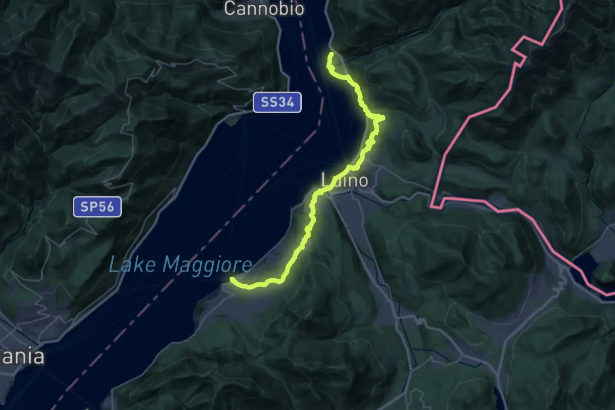
Grand Tour del Lago Maggiore ® - Tappa 7 - Porto Valtravaglia - Luino - Maccagno
17.0 km · ↑ 553 m · 5 h 28 min · 6 km away
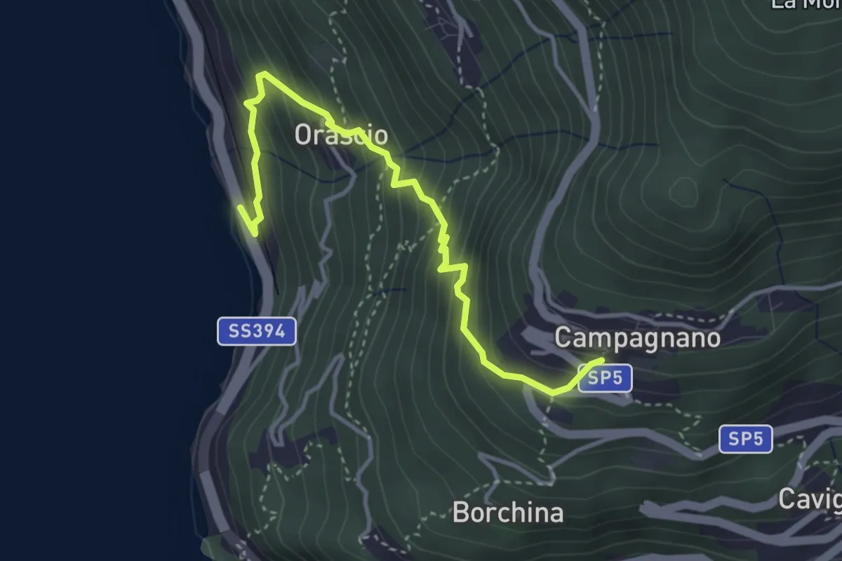
Medium · Trail
Ronco delle Monache – Orascio-Campagnano
3.8 km · ↑ 409 m · 1 h 47 min · 6 km away
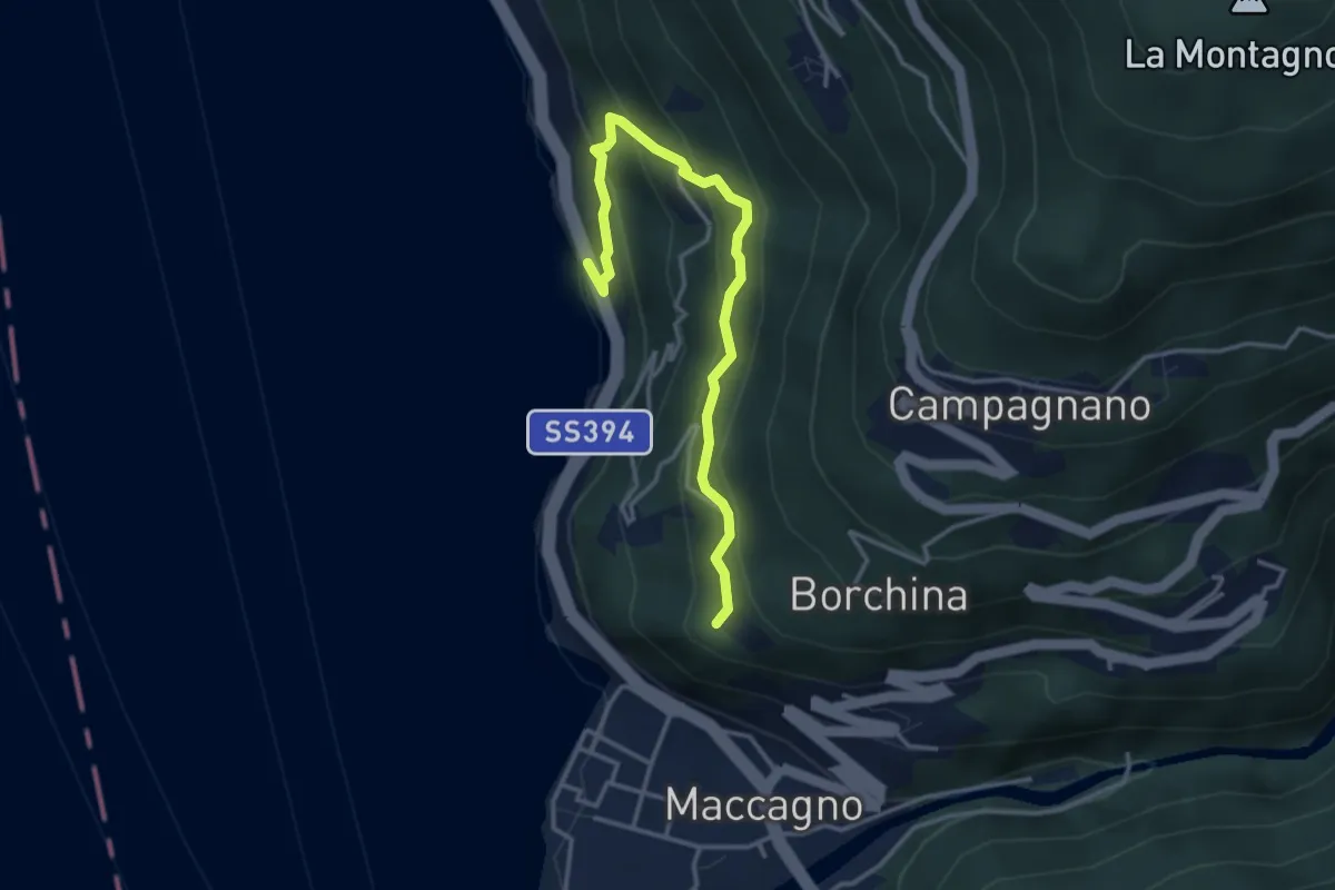
Medium · Trail
Ronco delle Monache – Pianca
3.7 km · ↑ 297 m · 1 h 31 min · 6 km away
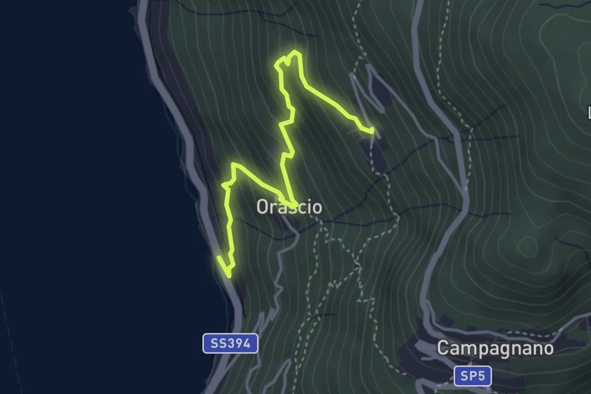
Medium · Trail
Ronco delle Monache – Sarangio
3.7 km · ↑ 343 m · 1 h 37 min · 6 km away
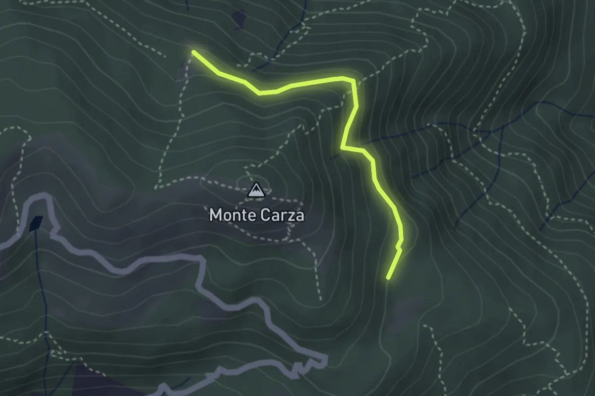
Easy · Trail
Bivio VBAR42 – Pra Rotondo, bivio VBAR42A-VBAS05
2.8 km · ↑ 130 m · 57 min · 6 km away
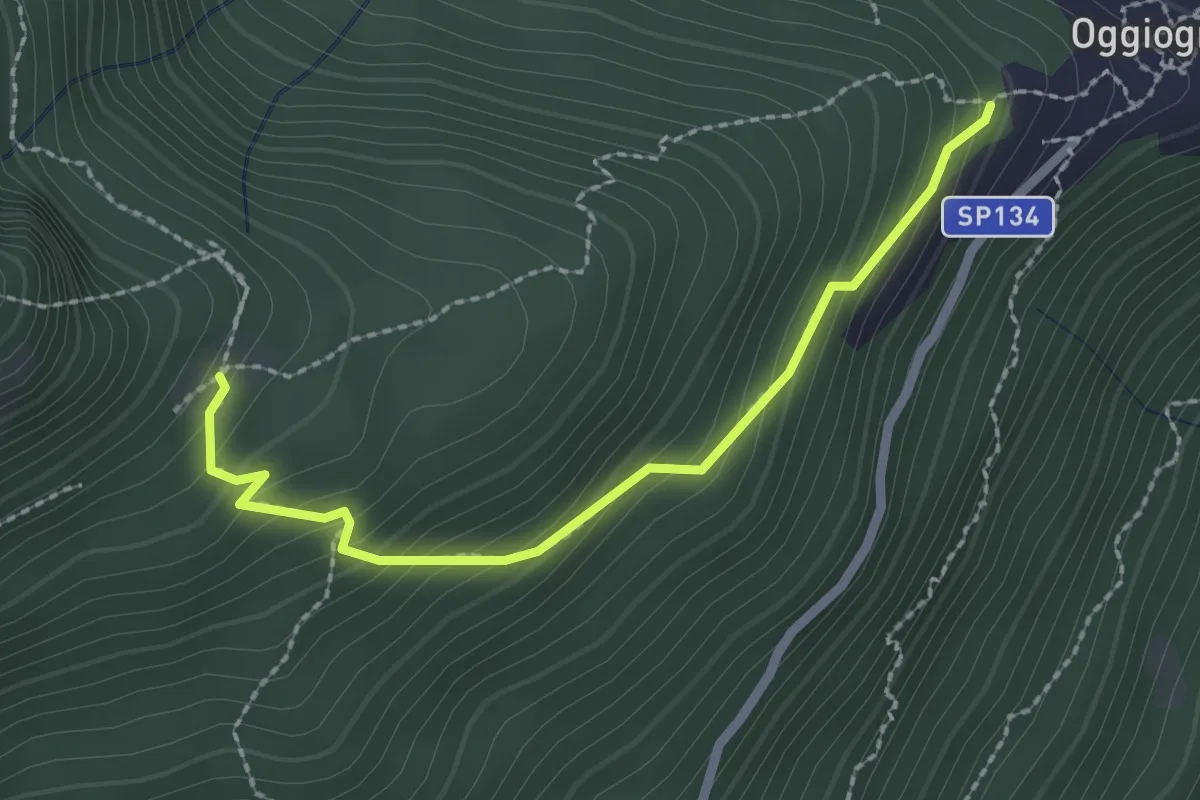
Easy · Trail
R26a Oggiogno bivio R26 - Alpe Ronno
2.4 km · ↑ 226 m · 1 h 3 min · 6 km away
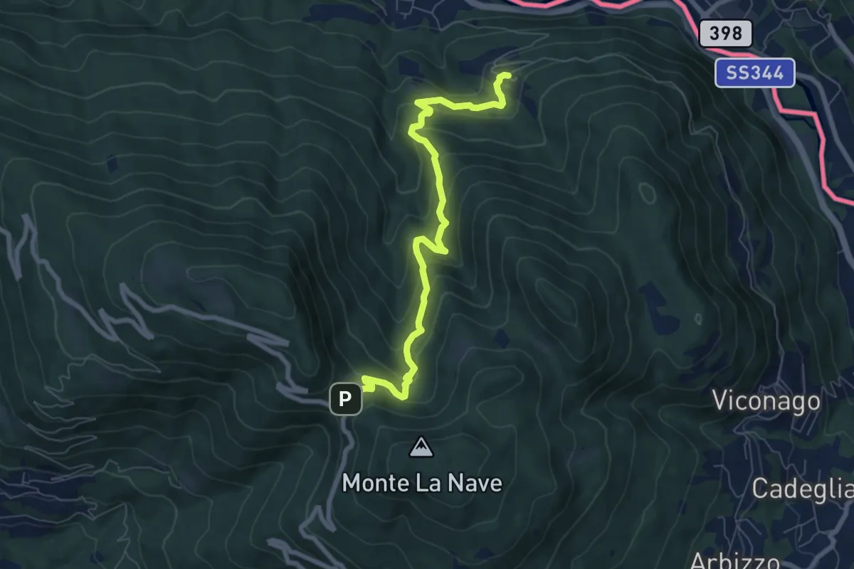
Medium · Trail
Avigno – Pian Della Nave
7.4 km · ↑ 545 m · 2 h 56 min · 6 km away
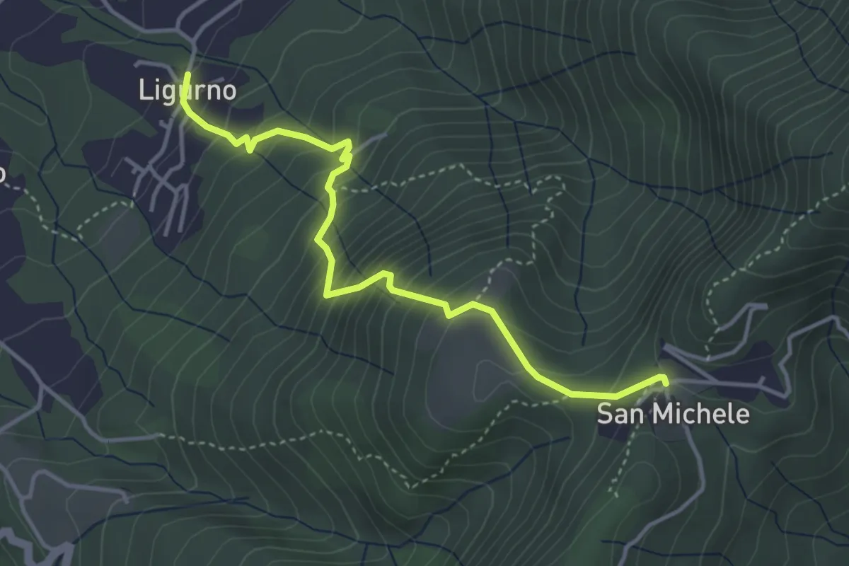
Medium · Trail
241 Sentiero dei Sassi
4.0 km · ↑ 460 m · 1 h 57 min · 6 km away
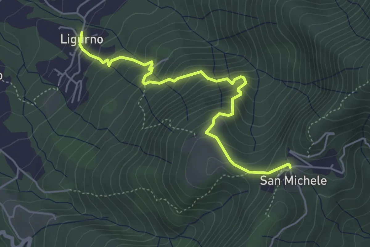
Medium · Trail
242 Sentiero della Gogna
4.8 km · ↑ 493 m · 2 h 12 min · 6 km away
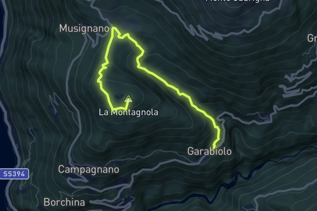
Medium · Summit
Garabiolo – Campagnano
7.8 km · ↑ 366 m · 2 h 38 min · 6 km away
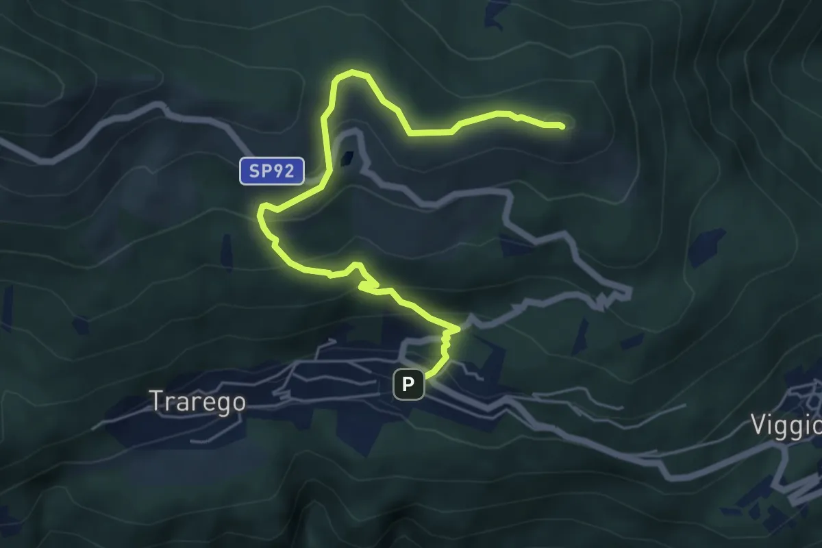
Medium · Summit
R40 Cheglio - Monte Carza
5.9 km · ↑ 360 m · 2 h 10 min · 6 km away
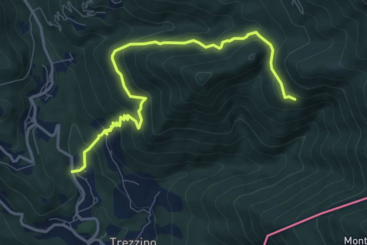
Medium · Trail
Stivigliano – Alpe Bois
8.4 km · ↑ 625 m · 3 h 20 min · 7 km away
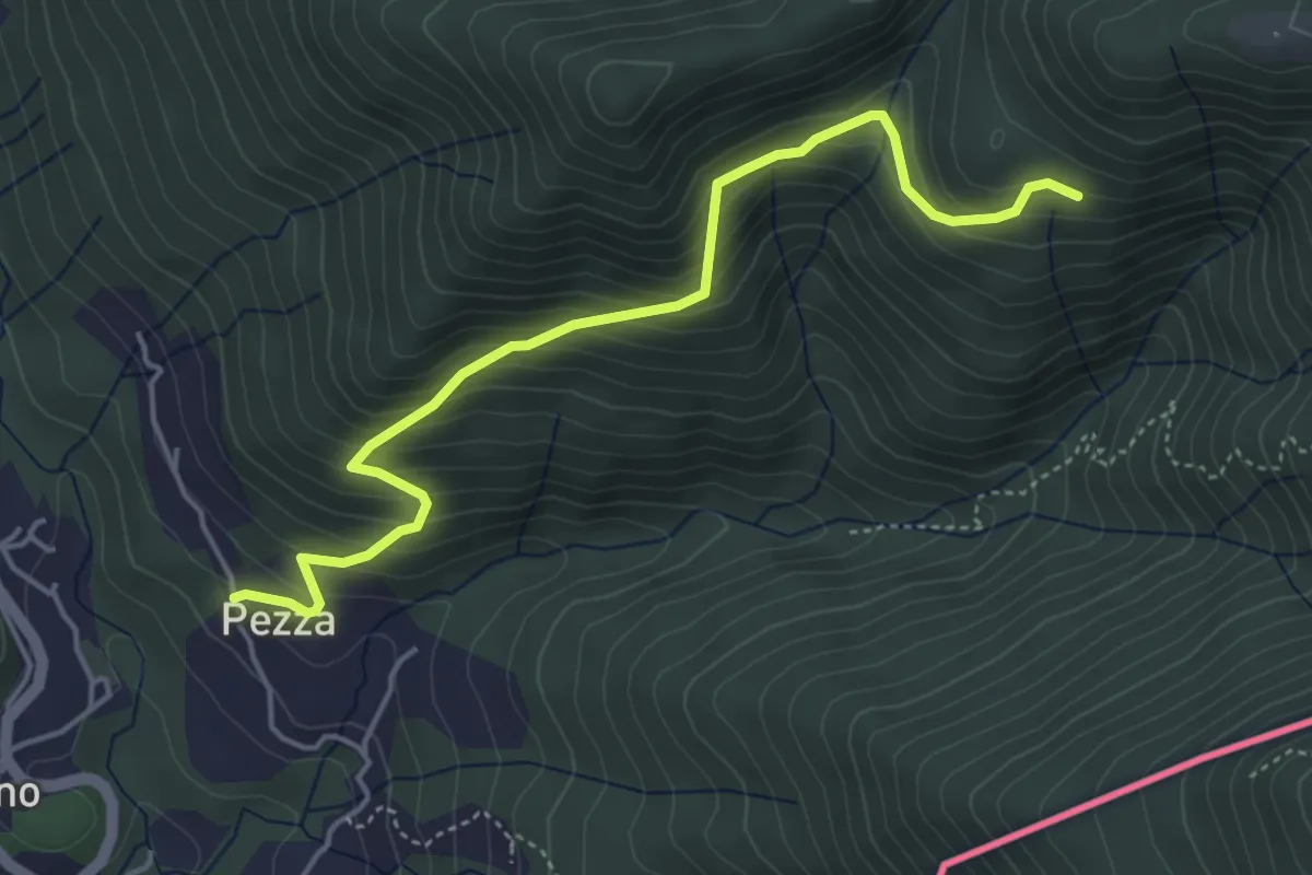
Medium · Trail
Trezzino – Alpe Bois
4.8 km · ↑ 442 m · 2 h 6 min · 7 km away
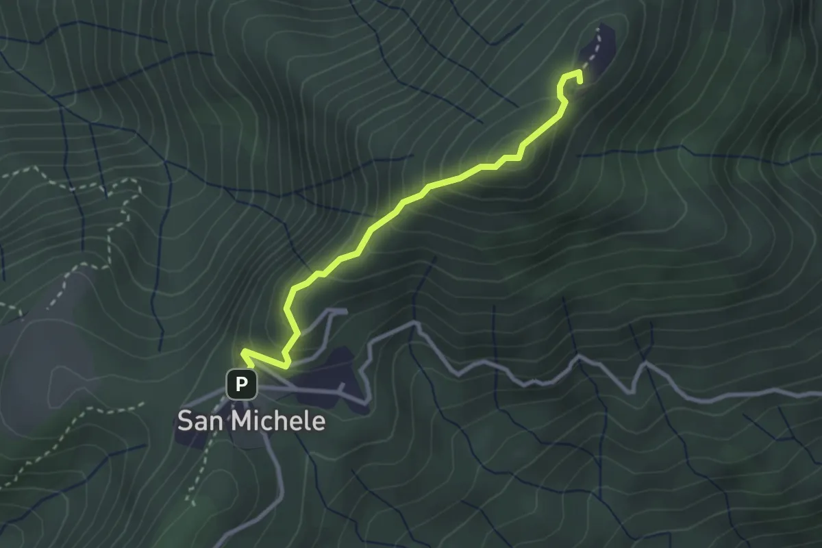
Medium · Summit
4 San Michele_Monte Pian Nave NORD e SUD
2.7 km · ↑ 268 m · 1 h 13 min · 7 km away
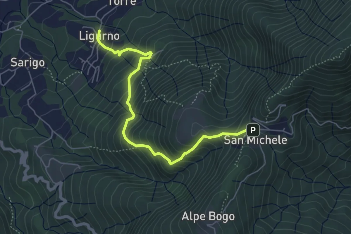
Medium · Trail
243 Sentiero della Valle
5.0 km · ↑ 491 m · 2 h 15 min · 7 km away
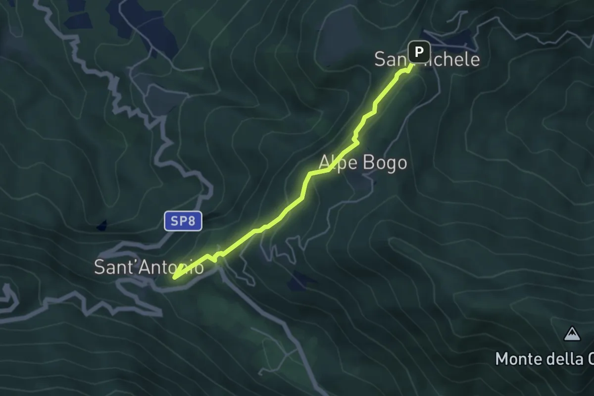
Easy · Summit
San Michele – Sant'Antonio
4.2 km · ↑ 316 m · 1 h 40 min · 7 km away
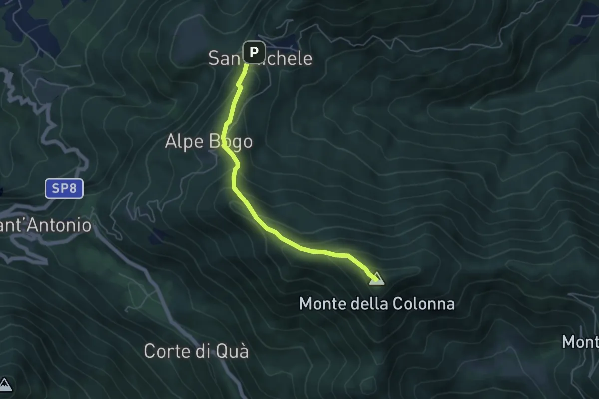
Medium · Summit
San Michele – Monte Colonna-San Martino
4.5 km · ↑ 348 m · 1 h 49 min · 7 km away
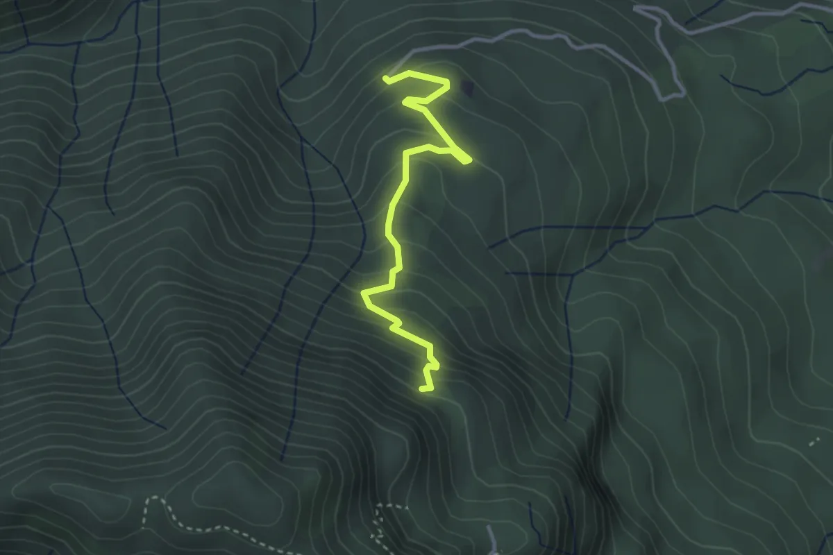
Easy · Trail
260B Sentiero delle Trincee
3.1 km · ↑ 266 m · 1 h 19 min · 7 km away
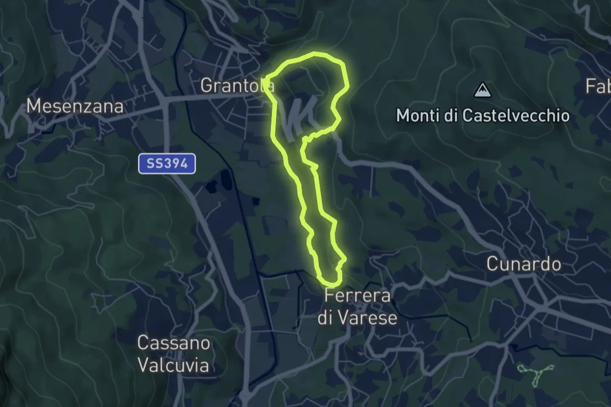
Easy · Trail
Grantola – Grantola
4.5 km · ↑ 187 m · 1 h 32 min · 7 km away
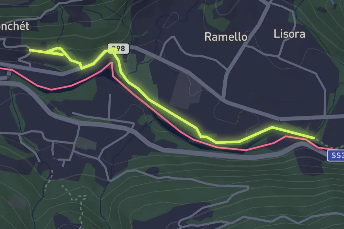
Easy · Trail
Ponte Cremenaga – fixme
3.7 km · ↑ 52 m · 59 min · 7 km away
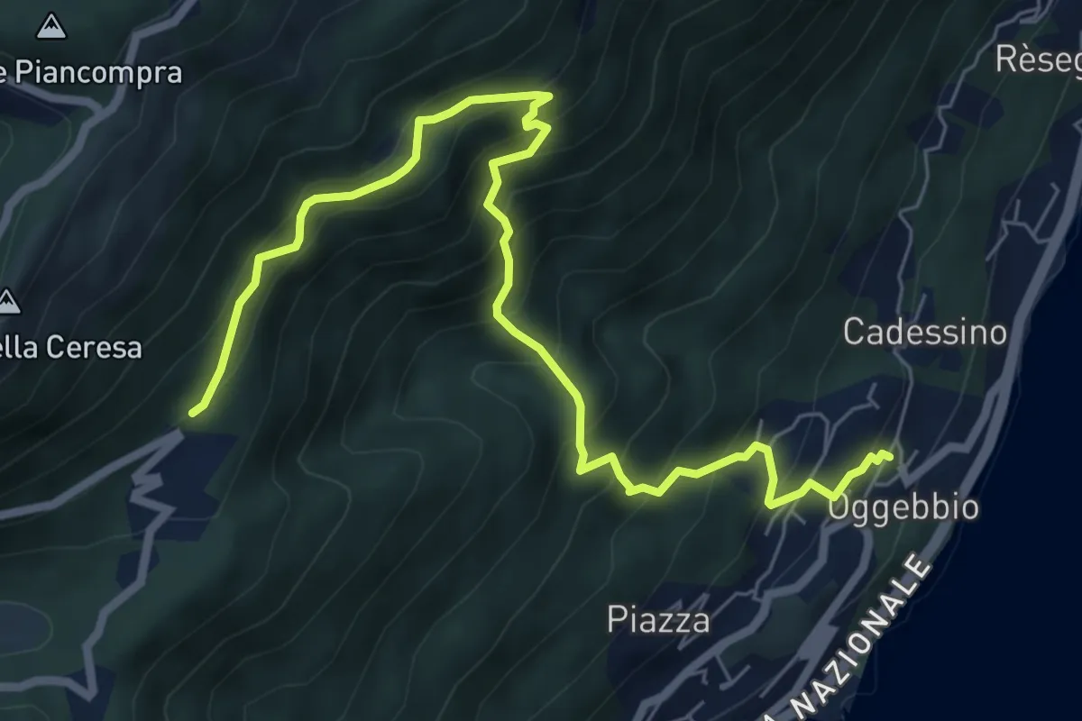
Demanding · Trail
R24 Gonte - Casola - Manegra
7.7 km · ↑ 820 m · 3 h 36 min · 7 km away
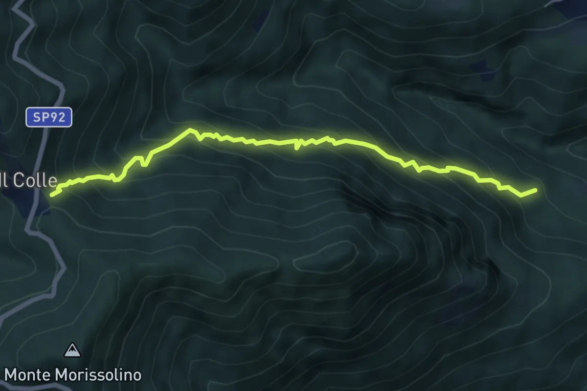
Medium · Trail
R28 Malpensata (Oggiogno) - Colle
5.9 km · ↑ 783 m · 3 h 5 min · 7 km away
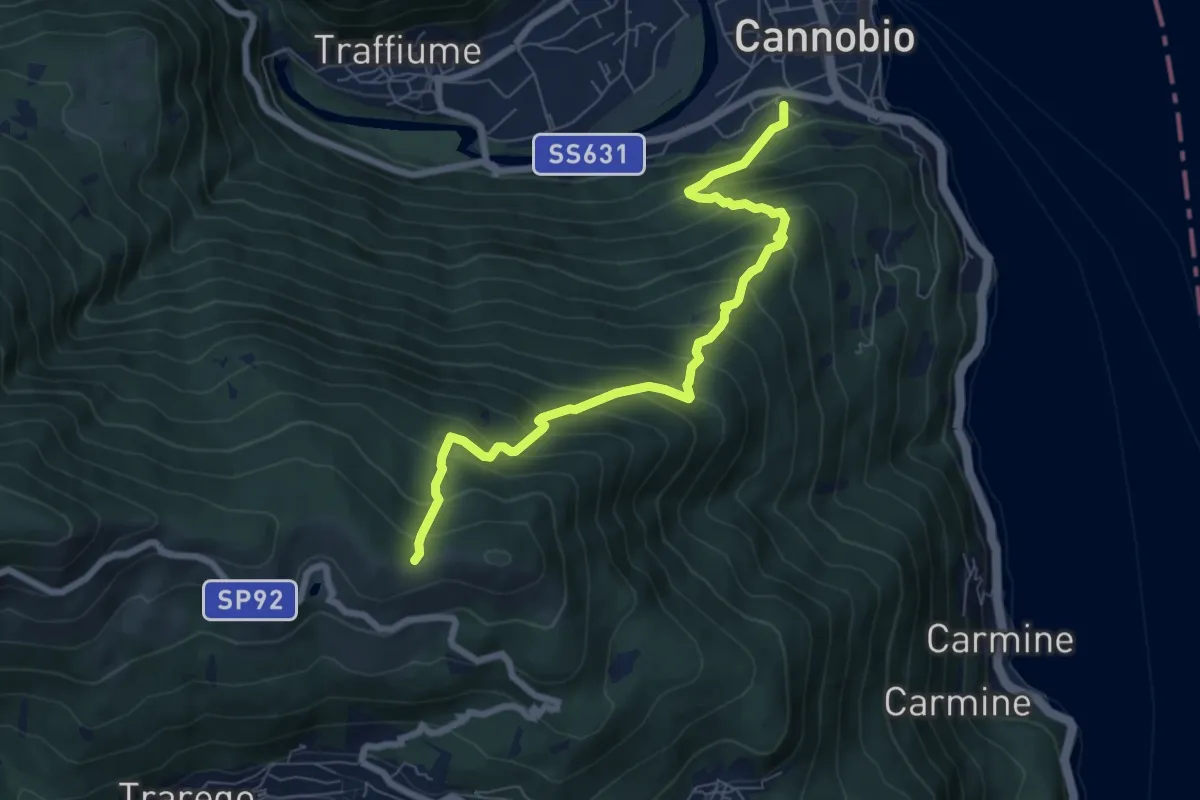
Demanding · Trail
S05 Cannobio - Monte Carza
7.4 km · ↑ 844 m · 3 h 35 min · 7 km away
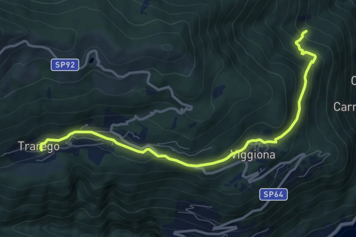
Medium · Trail
R46 Molineggi - Viggiona - Trarego
8.2 km · ↑ 403 m · 2 h 48 min · 7 km away
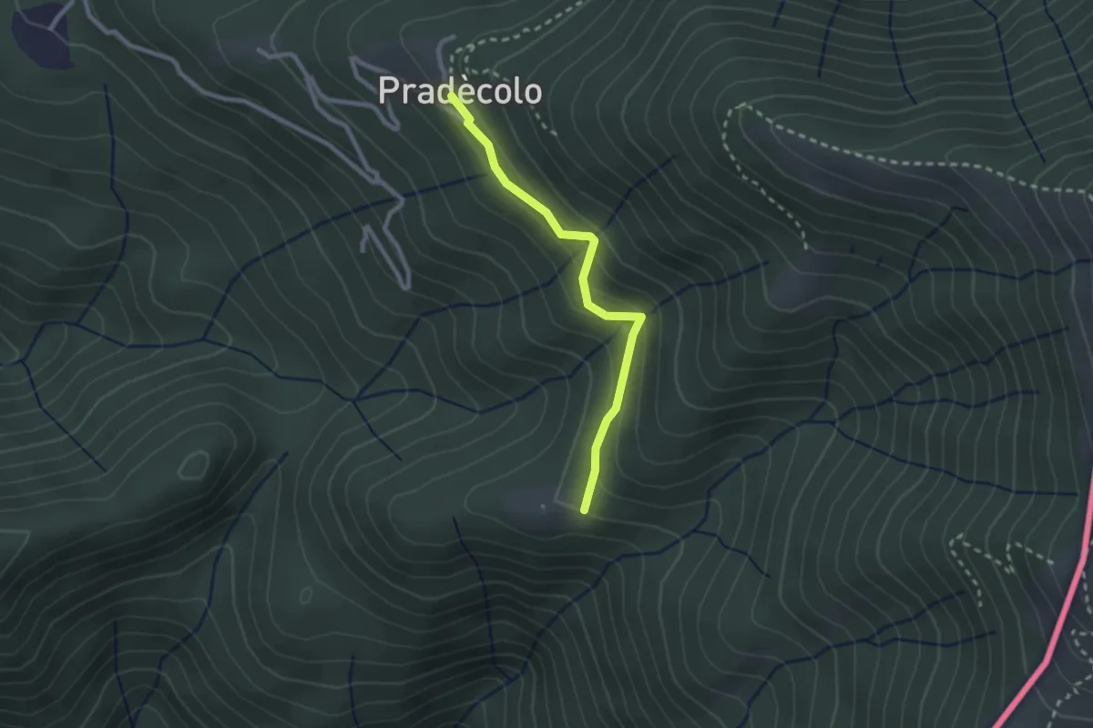
Medium · Cabin
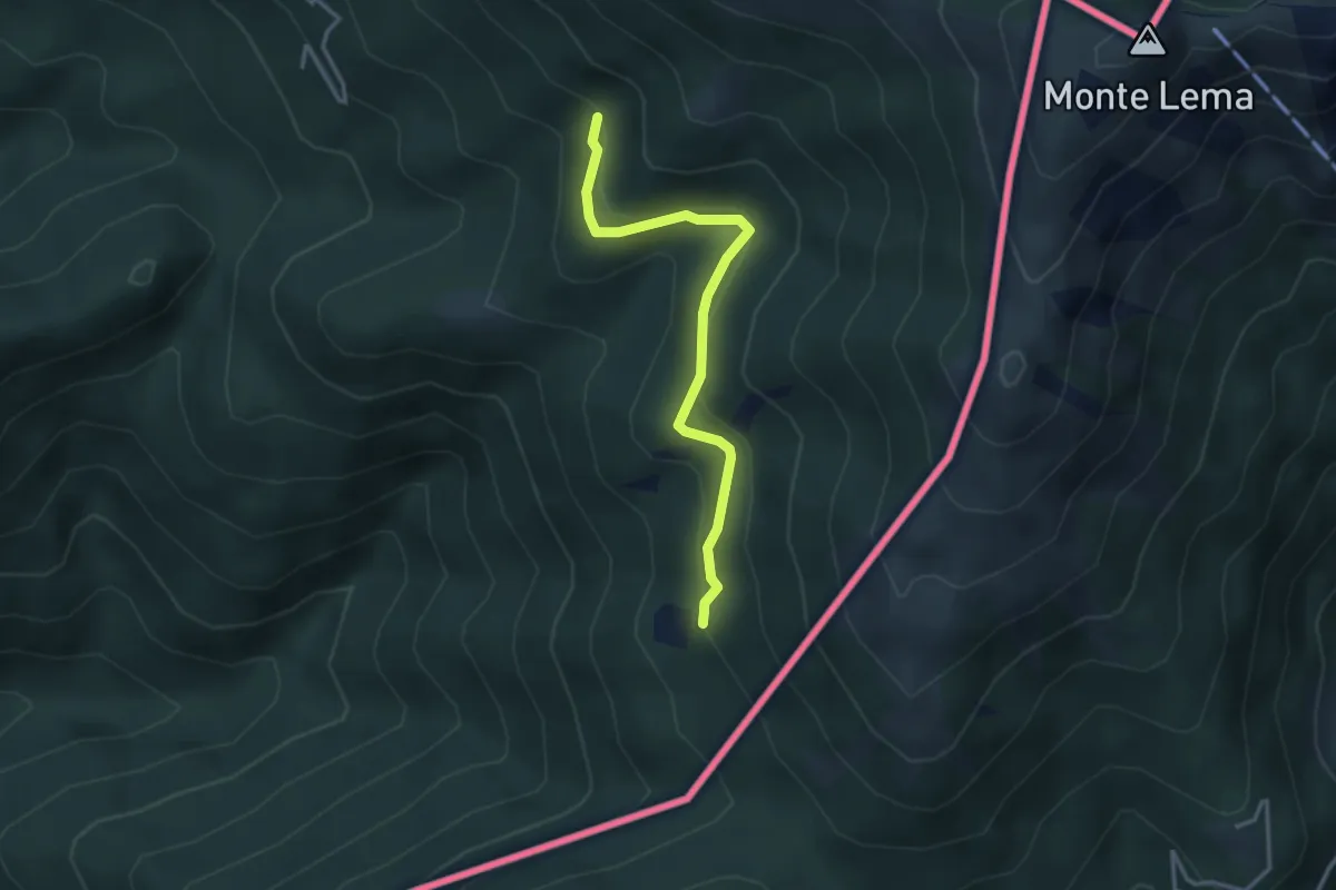
Pradecolo – Prà Bernardo
2.3 km · ↑ 165 m · 54 min · 7 km away
Medium · Trail
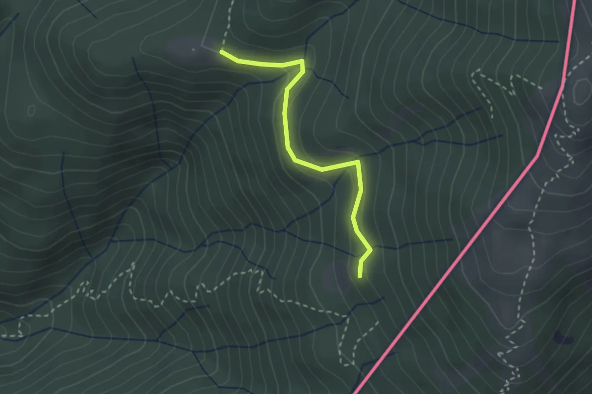
Pradecolo – Alpe Fontana
3.3 km · ↑ 159 m · 1 h 7 min · 7 km away
Medium · Trail
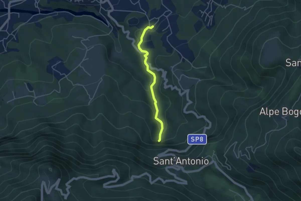
Alpe Roccolo – Alpe Fontana
2.3 km · ↑ 127 m · 49 min · 7 km away
Medium · Trail
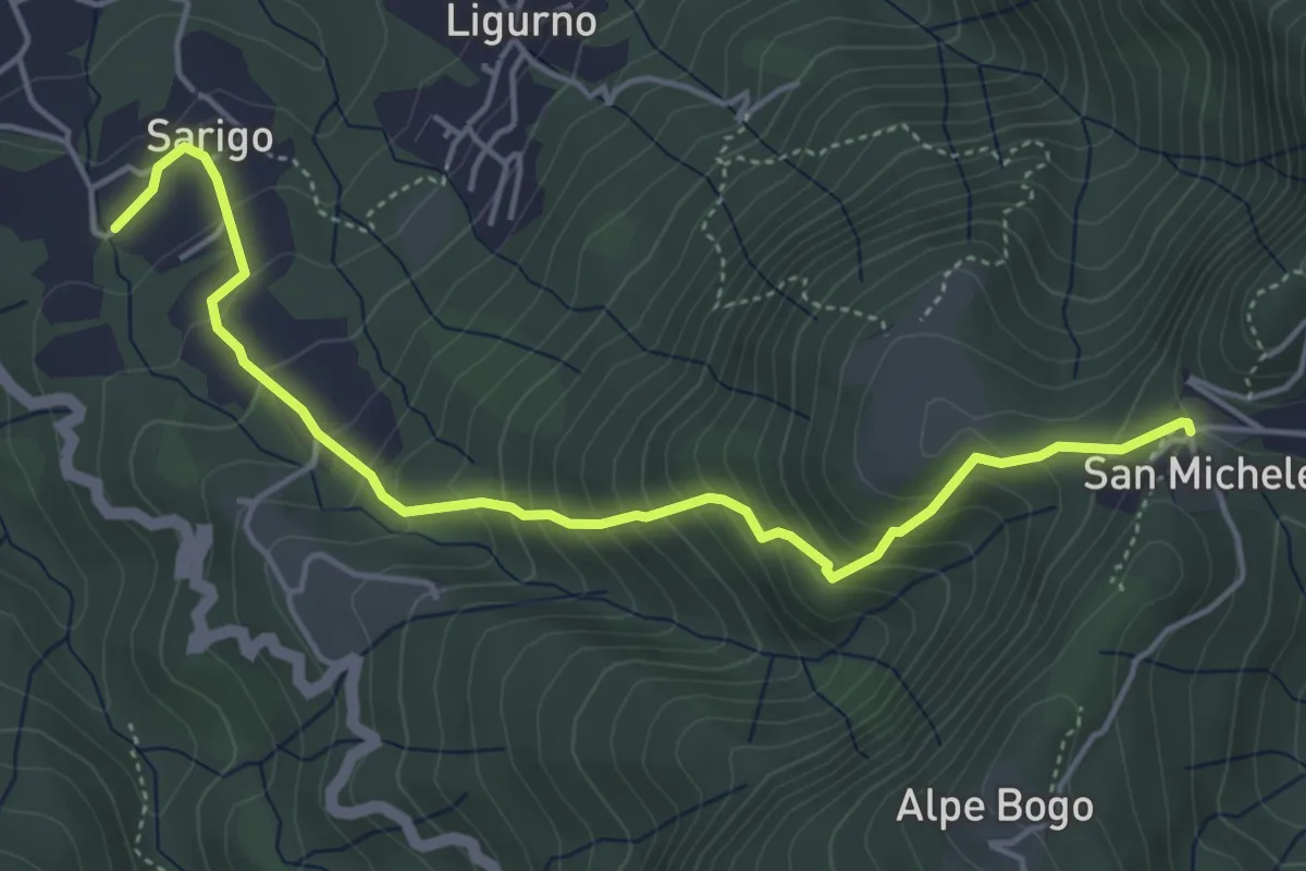
Sarigo – Cascata della Froda
3.3 km · ↑ 150 m · 1 h 6 min · 7 km away
Medium · Trail
243A Sentiero della valle
5.1 km · ↑ 485 m · 2 h 16 min · 7 km away
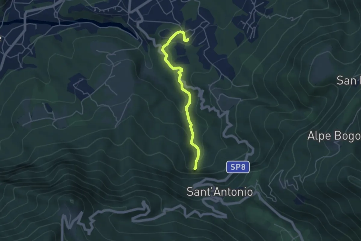
Medium · Trail
Sarigo – Cascata della Froda
3.9 km · ↑ 178 m · 1 h 18 min · 7 km away
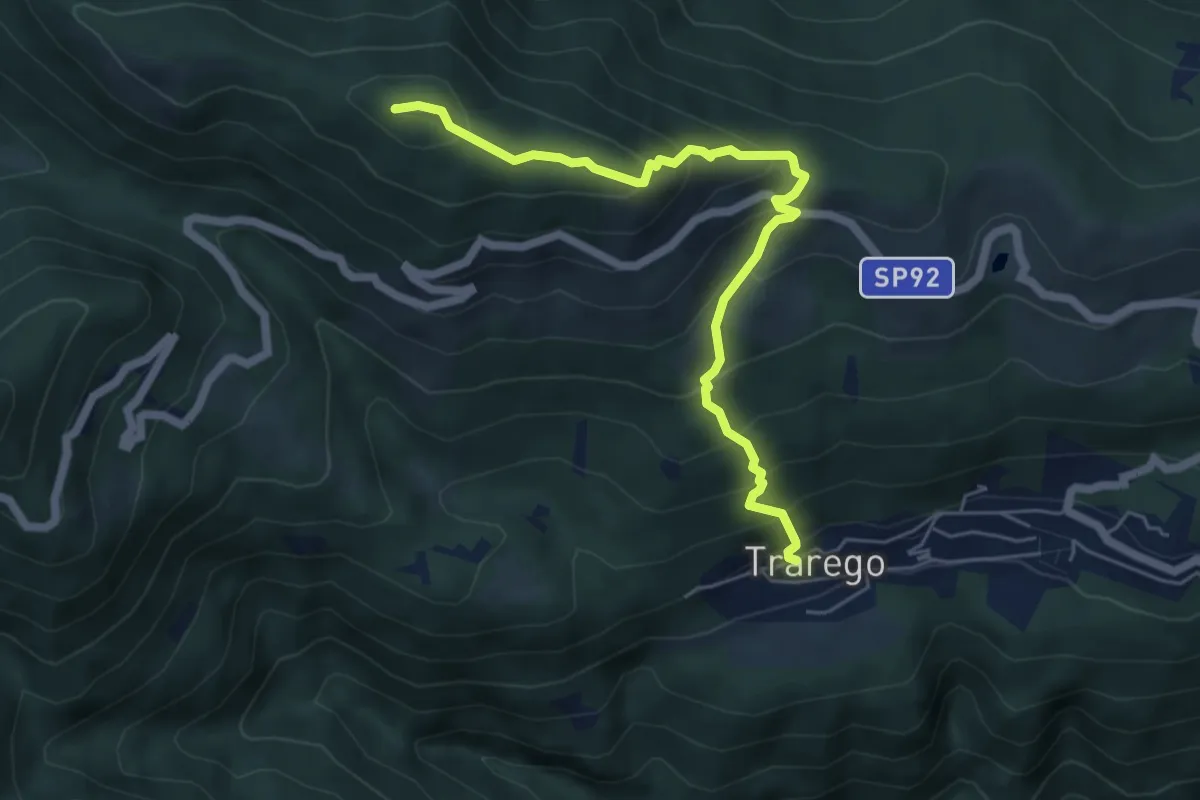
Medium · Summit
R38 Trarego - Monte Pian Bello
5.7 km · ↑ 527 m · 2 h 30 min · 7 km away
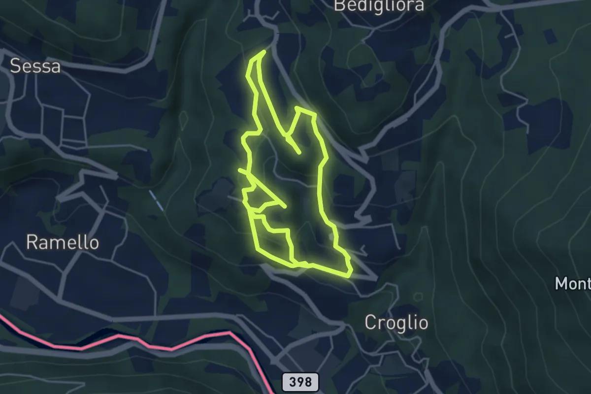
Medium · Trail
sentiero tracce d'uomo
8.8 km · ↑ 387 m · 2 h 55 min · 7 km away
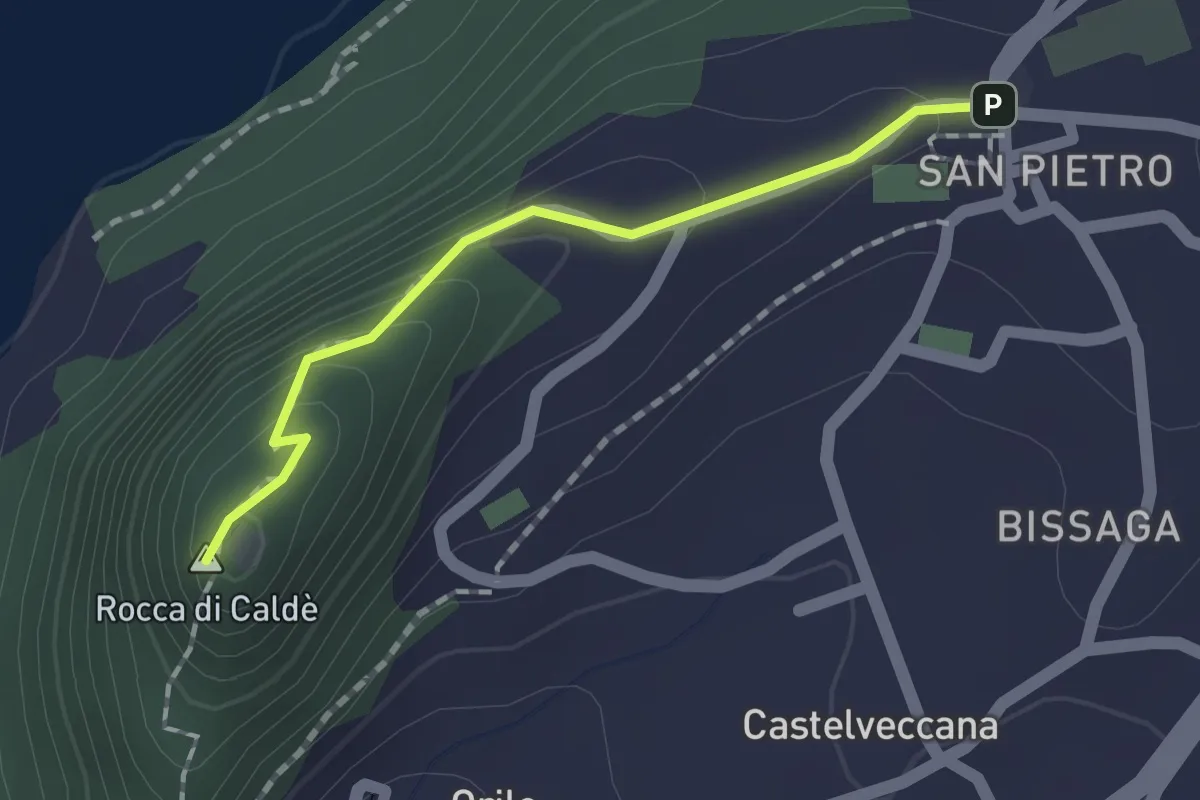
Easy · Summit
Grand Tour del Lago Maggiore ® - Tappa 6 - Variante sommità Rocca di Caldè
1.4 km · ↑ 78 m · 30 min · 7 km away