Trails near Luni
188 hikes starting within 15 km, nearest first.
Nearest first, page 3 of 4
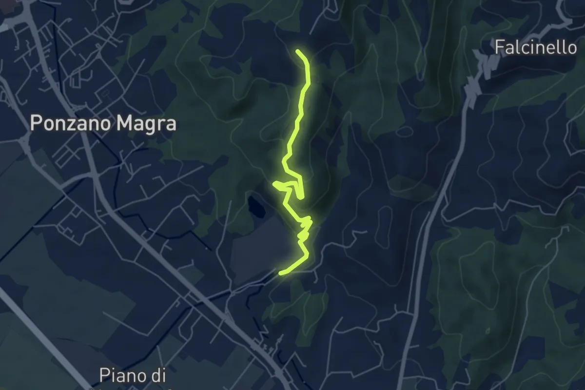
Easy · Trail
Percorso 341 – Percorso 343
5.0 km · ↑ 234 m · 1 h 41 min · 10 km away
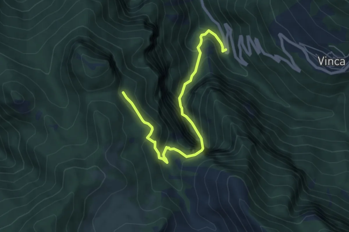
Demanding · Trail
Vinca – Innesto percorso 183
6.1 km · ↑ 880 m · 3 h 21 min · 10 km away
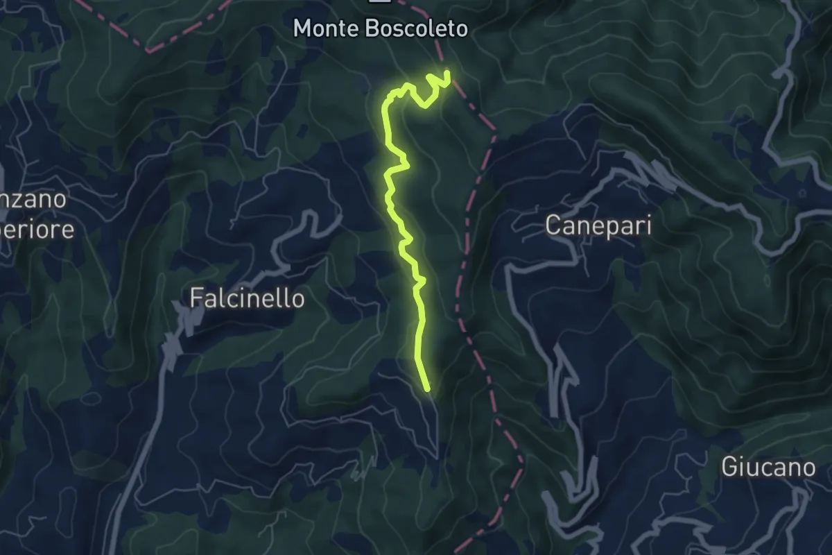
Easy · Trail
Percorso 325 – Percorso 290
5.3 km · ↑ 240 m · 1 h 47 min · 10 km away
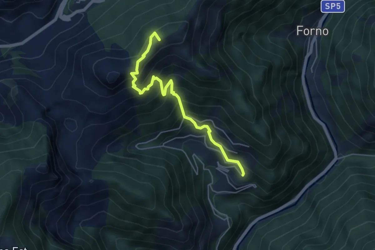
Medium · Summit
Cammino del Frigido - Tappa 5
4.6 km · ↑ 573 m · 2 h 20 min · 10 km away
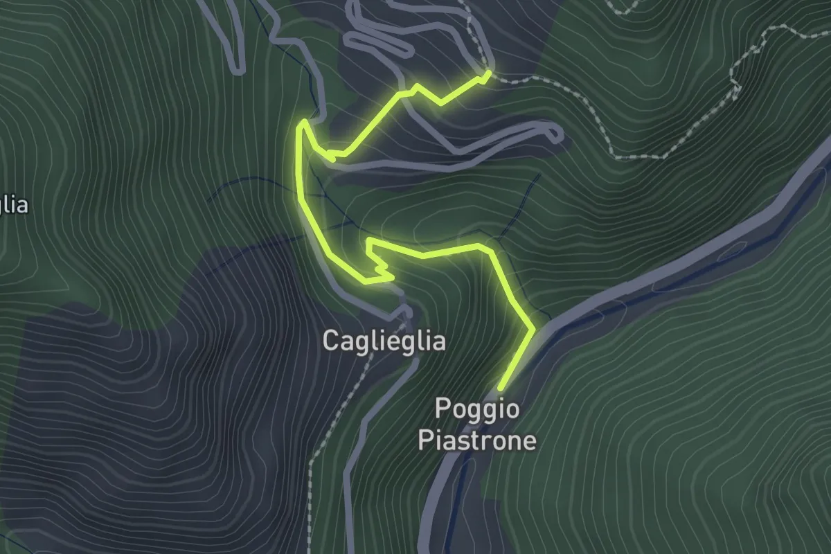
Easy · Trail
Poggio Piastrone - Casette
2.4 km · ↑ 224 m · 1 h 2 min · 10 km away
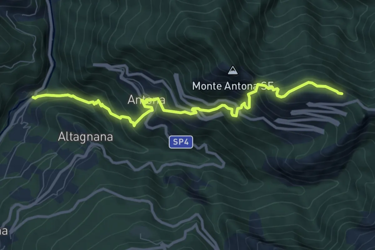
Demanding · Cabin
Cammino del Frigido - Tappa 2
8.7 km · ↑ 818 m · 3 h 50 min · 10 km away
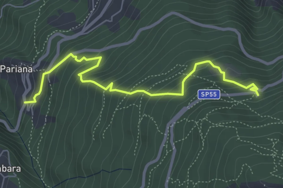
Medium · Trail
Via delle Fonti 6 - Vicinale della Fontana Morosa
5.8 km · ↑ 525 m · 2 h 30 min · 11 km away
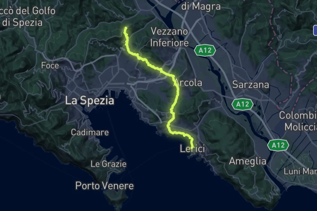
Demanding · Summit
Sentiero Liguria - Tappa 2
27.0 km · ↑ 997 m · 8 h 32 min · 11 km away
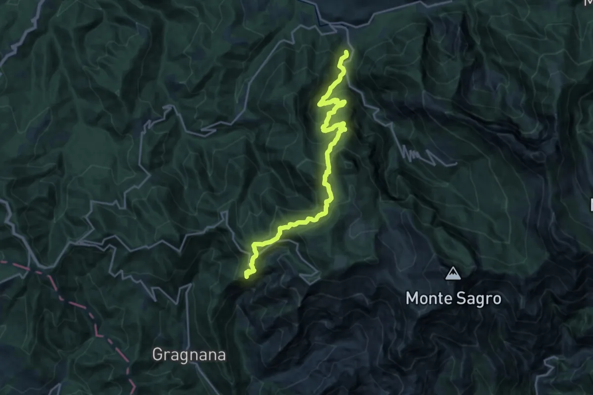
Demanding · Summit
Torano – Monzone
18.3 km · ↑ 1504 m · 7 h 34 min · 11 km away
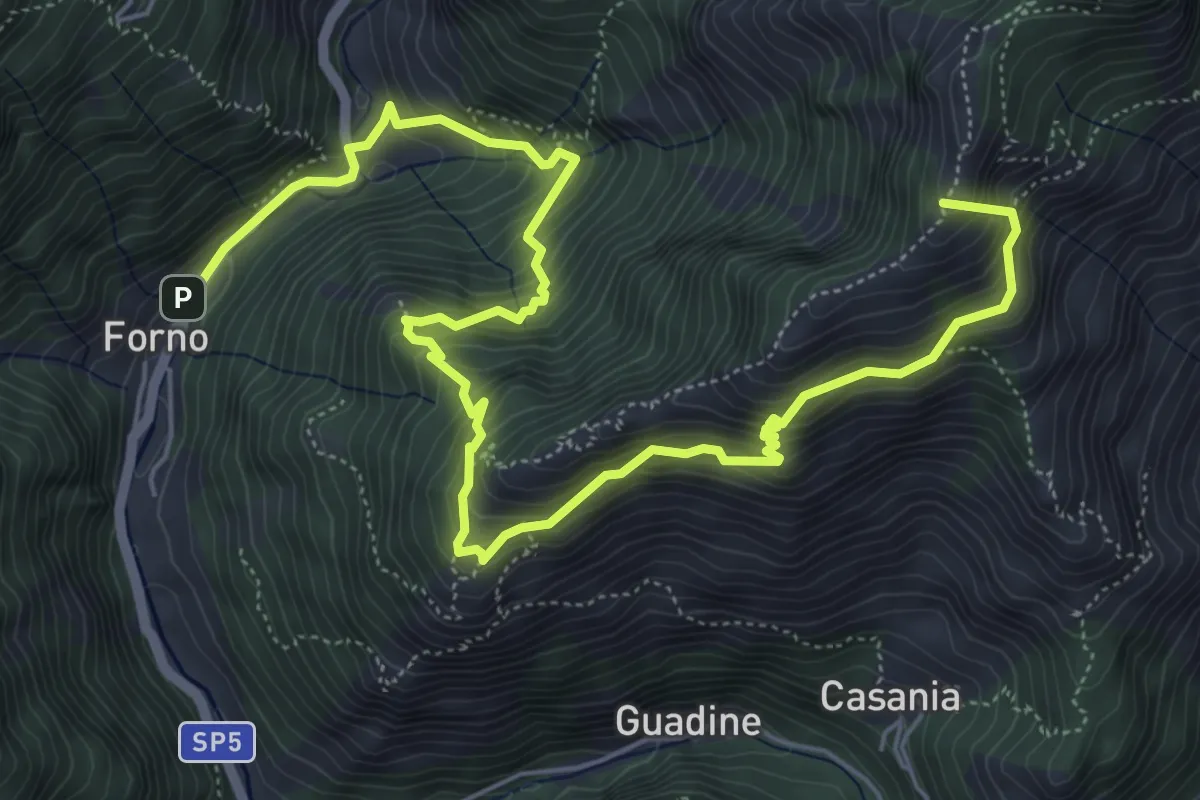
Demanding · Summit
Cammino del Frigido - Tappa 4
8.7 km · ↑ 891 m · 3 h 59 min · 11 km away
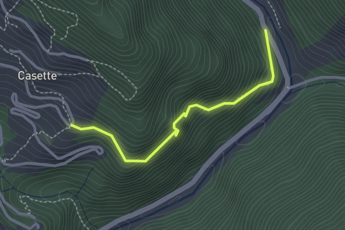
Easy · Trail
Sentiero del Bizzarro
2.2 km · ↑ 282 m · 1 h 8 min · 11 km away
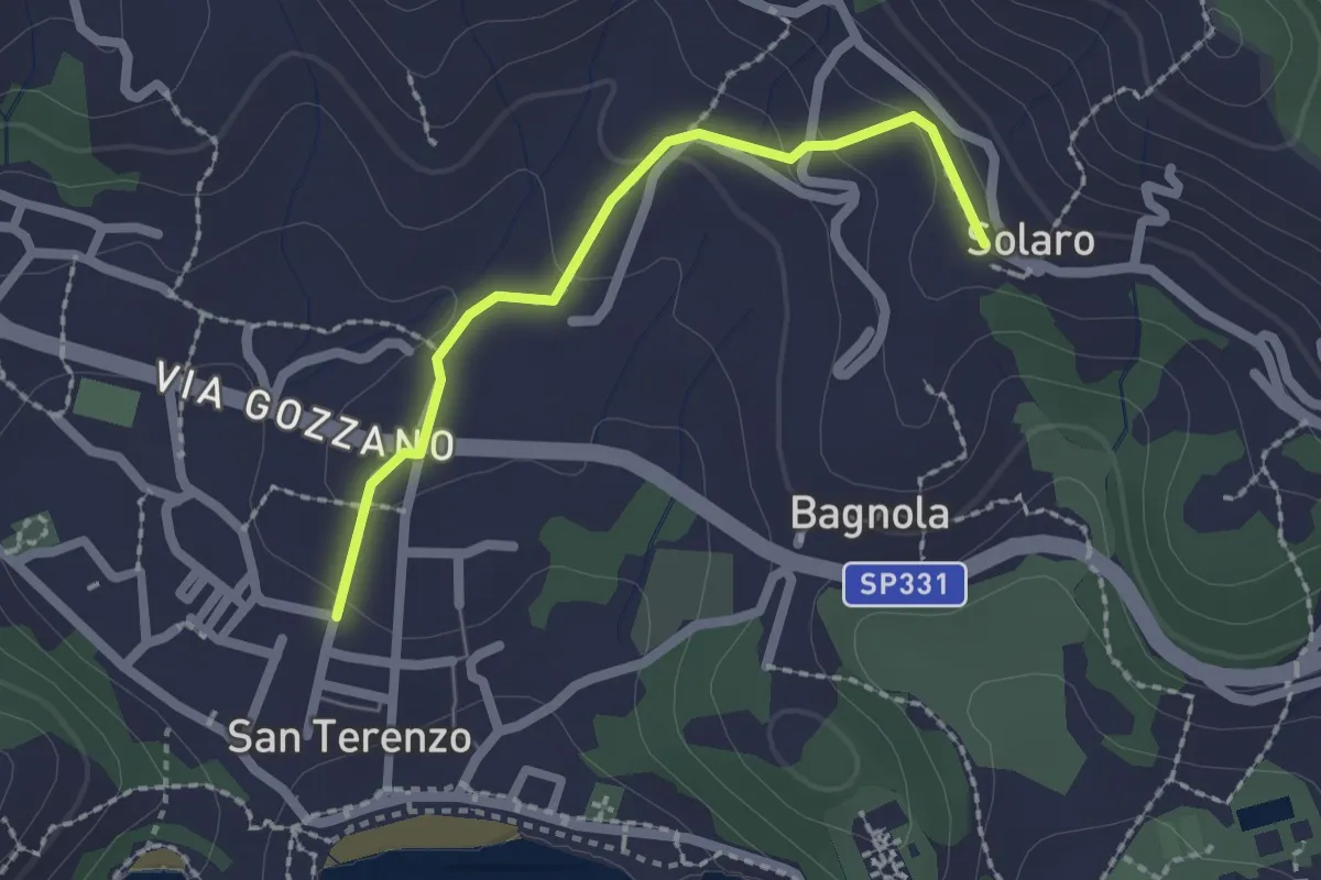
Medium · Trail
San Terenzo – Solaro
2.0 km · ↑ 77 m · 38 min · 11 km away
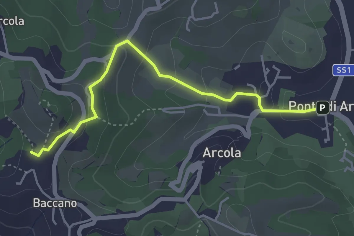
Easy · Trail
Via Romana
3.7 km · ↑ 154 m · 1 h 12 min · 11 km away
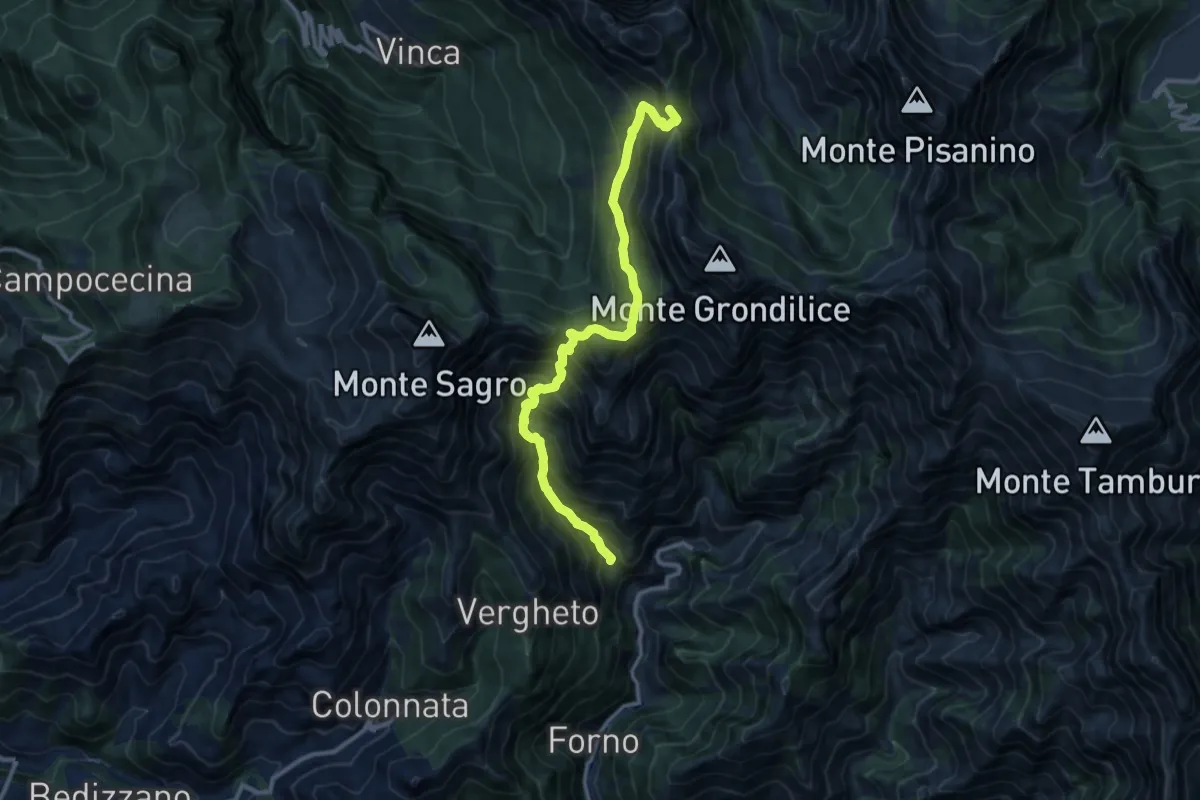
Demanding · Summit
Località Mozziconi (Forno) – Val Serenaia
12.2 km · ↑ 1328 m · 5 h 46 min · 11 km away
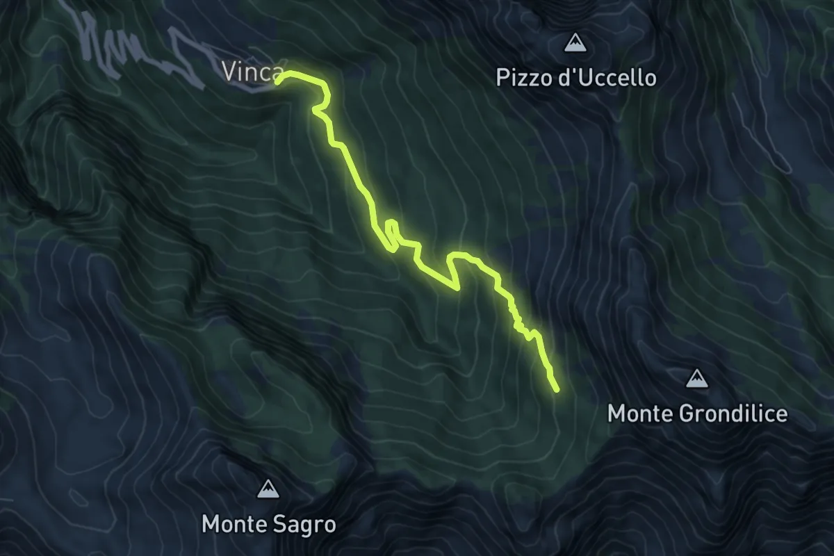
Demanding · Cabin
Vinca – Capanna Garnerone
7.6 km · ↑ 582 m · 3 h 3 min · 11 km away
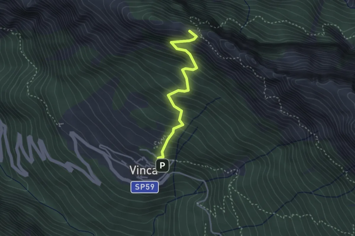
Demanding · Summit
Vinca – Cave del Cantonaccio
3.1 km · ↑ 451 m · 1 h 43 min · 11 km away
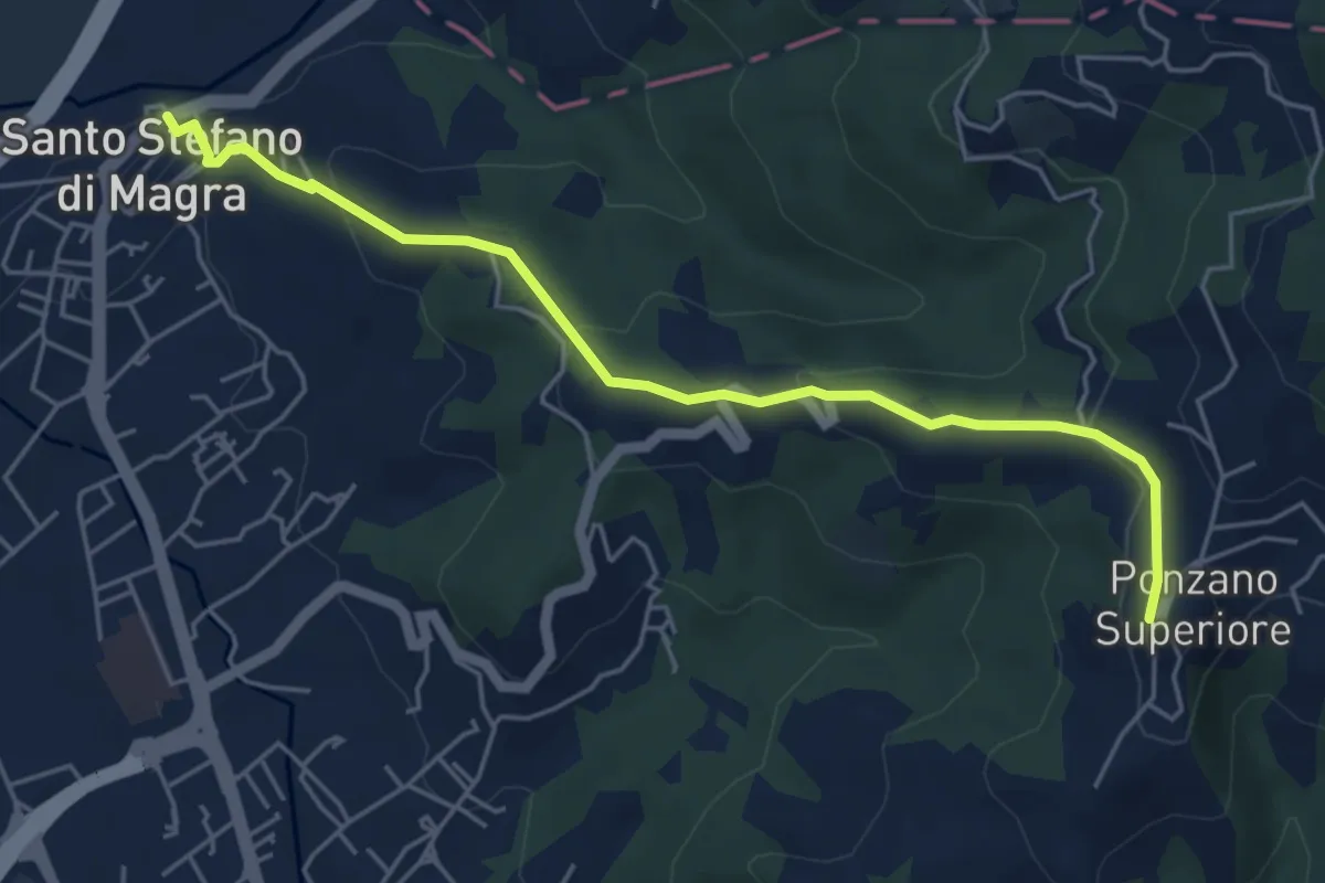
Easy · Trail
Santo Stefano di Magra – Ponzano Superiore
5.5 km · ↑ 219 m · 1 h 47 min · 11 km away
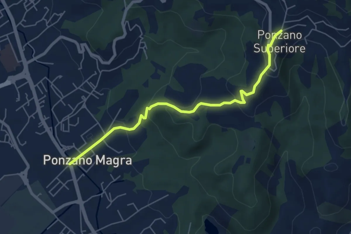
Easy · Trail
Ponzano Madonnetta – Ponzano Superiore
5.2 km · ↑ 255 m · 1 h 47 min · 11 km away
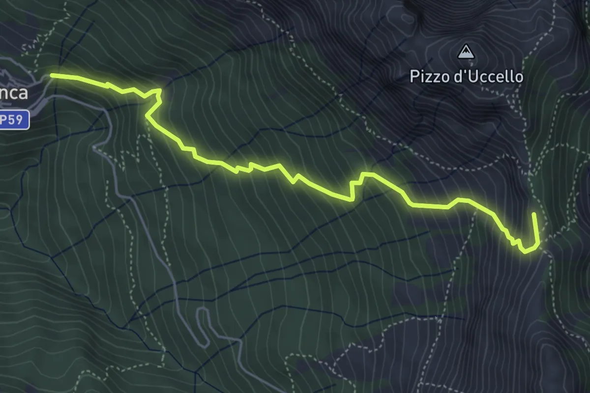
Medium · Summit
Vinca – Foce di Giovo
5.7 km · ↑ 712 m · 2 h 54 min · 11 km away
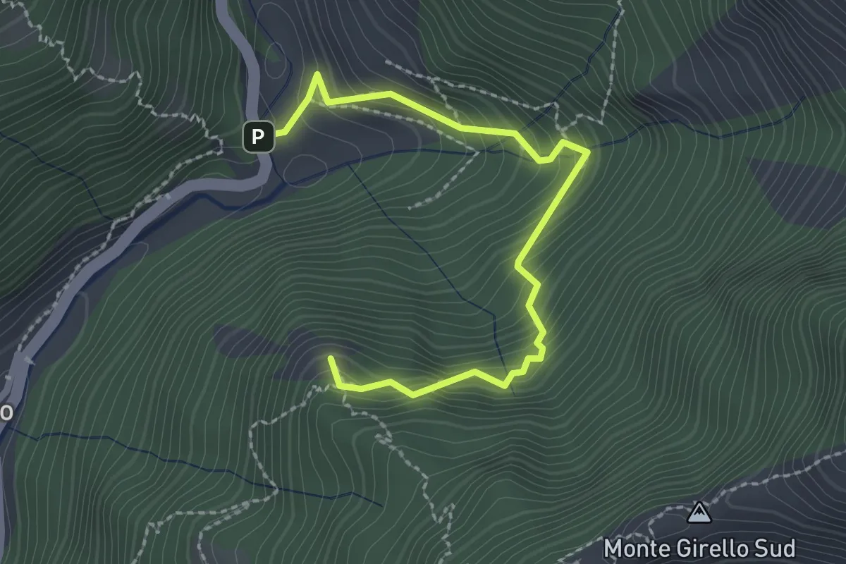
Medium · Summit
Forno – Casania
2.6 km · ↑ 270 m · 1 h 12 min · 11 km away
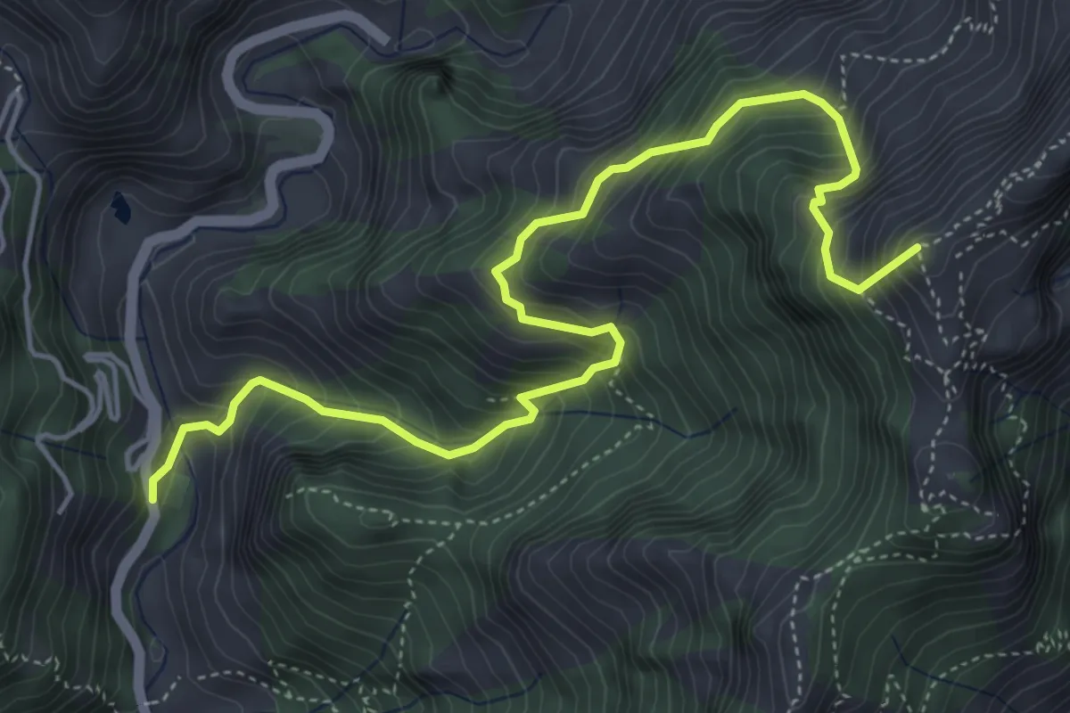
Medium · Summit
Resceto – Forno
6.0 km · ↑ 747 m · 3 h 2 min · 11 km away
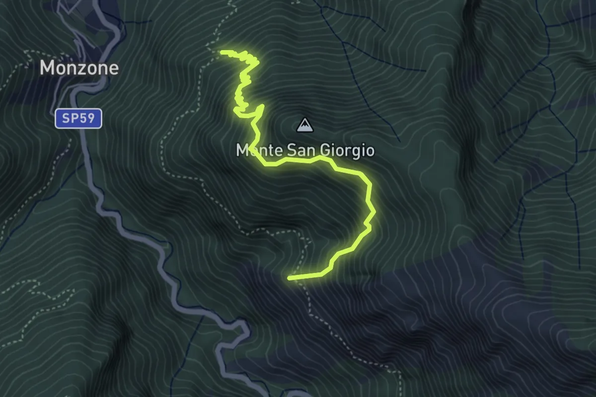
Demanding · Trail
Percorso 139 (Castellaccio) – Percorso 139
6.5 km · ↑ 1009 m · 3 h 44 min · 11 km away
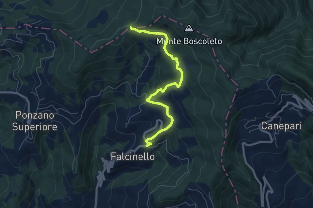
Easy · Trail
Falcinello – Via Francigena
6.0 km · ↑ 258 m · 1 h 59 min · 11 km away
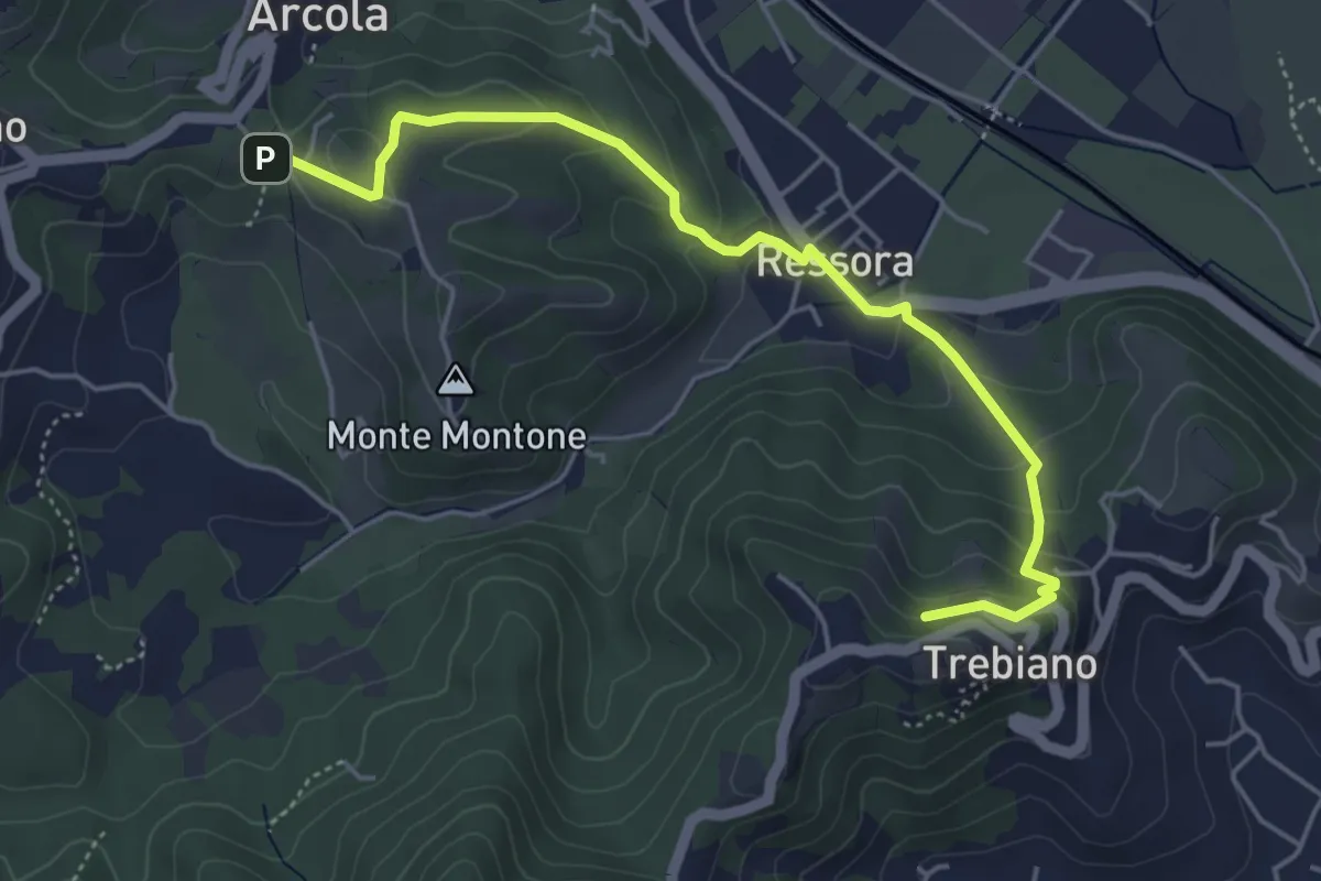
Easy · Summit
Trebiano - Ressora - Arcola (via delle Pievi)
5.3 km · ↑ 265 m · 1 h 50 min · 11 km away
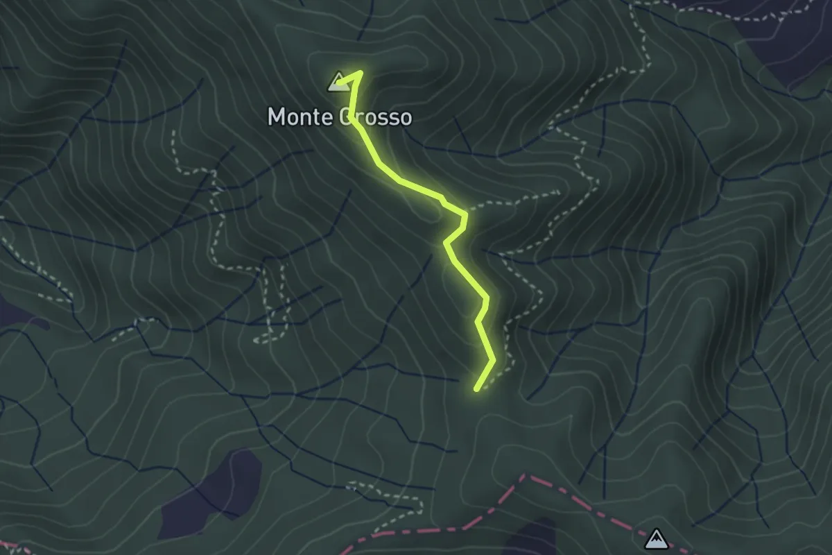
Easy · Summit
S5: Quattro Strade - Monte Grosso - La Tira
2.3 km · ↑ 113 m · 48 min · 11 km away
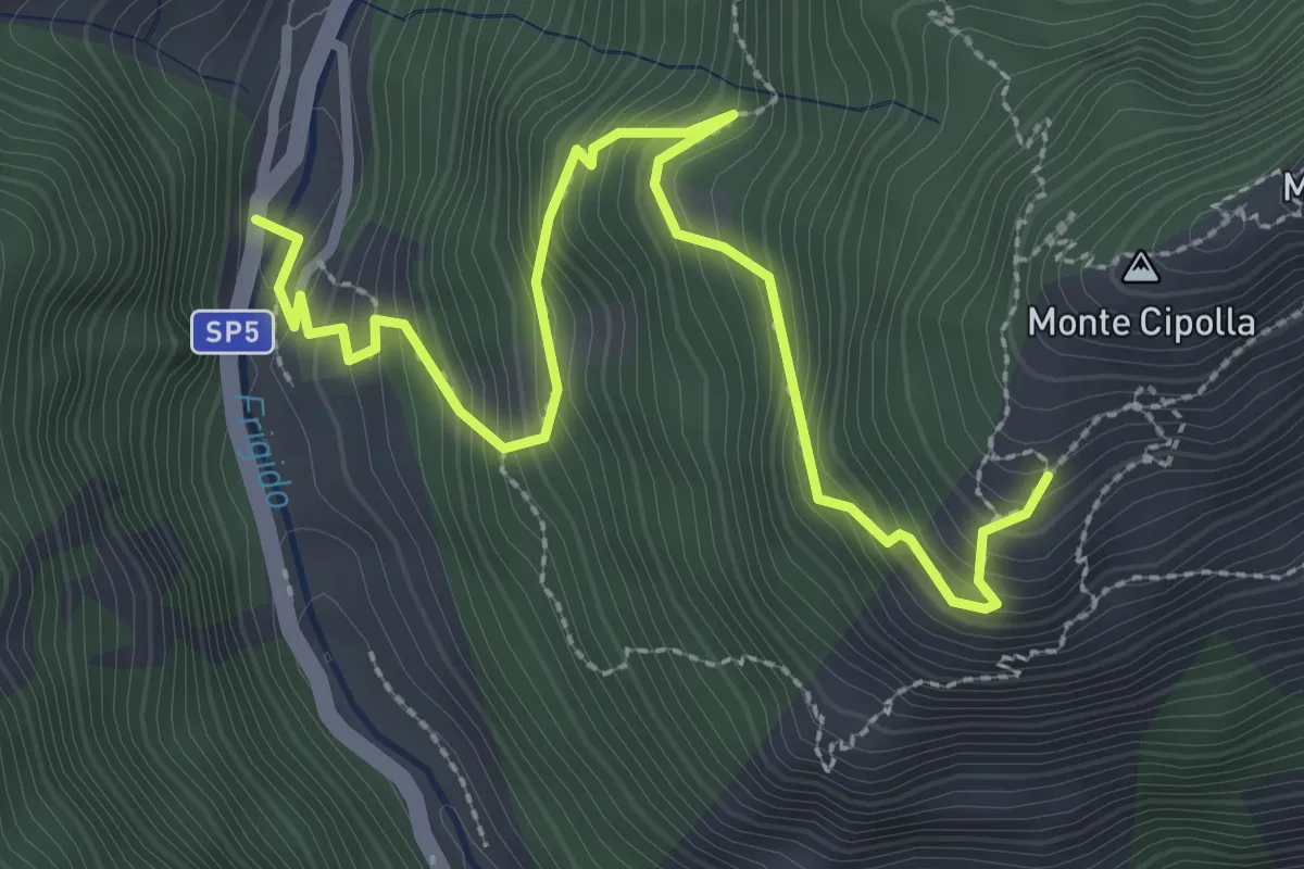
Medium · Trail
Forno - Pian dei Santi
3.6 km · ↑ 382 m · 1 h 41 min · 12 km away
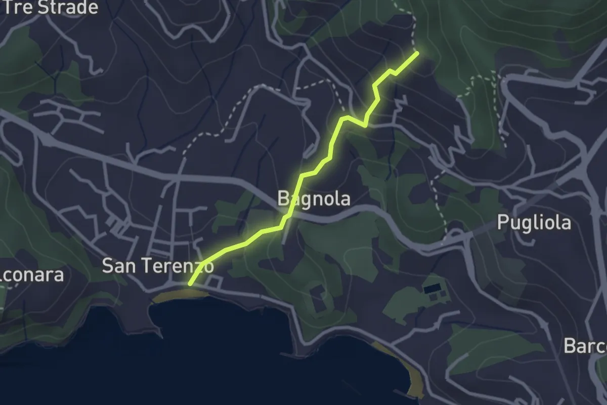
Medium · Trail
San Terenzo - Bagnola – Solaro – P.so della Cisterna
2.4 km · ↑ 156 m · 54 min · 12 km away
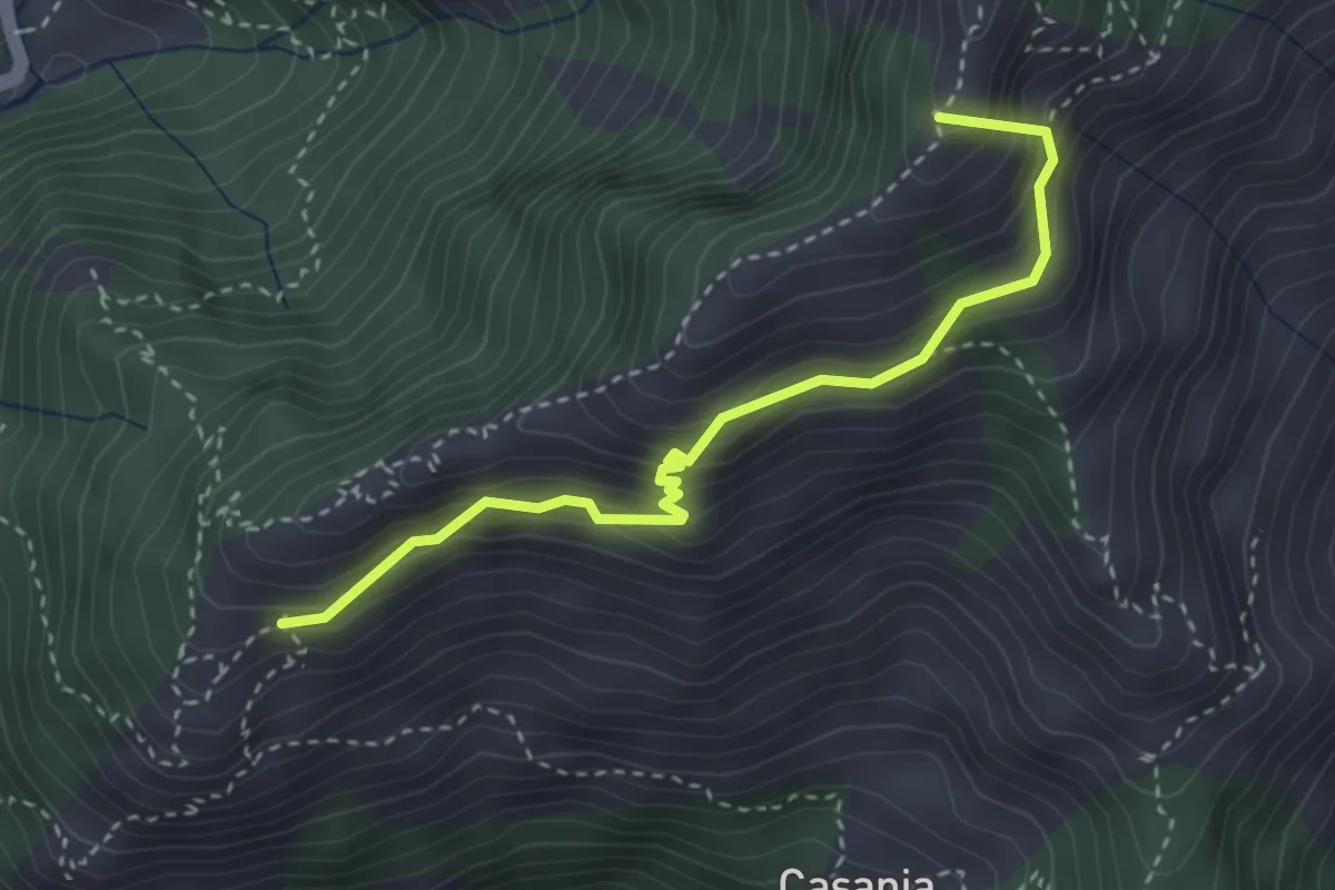
Demanding · Summit
Pian dei Santi – Percorso 161
3.4 km · ↑ 356 m · 1 h 35 min · 12 km away
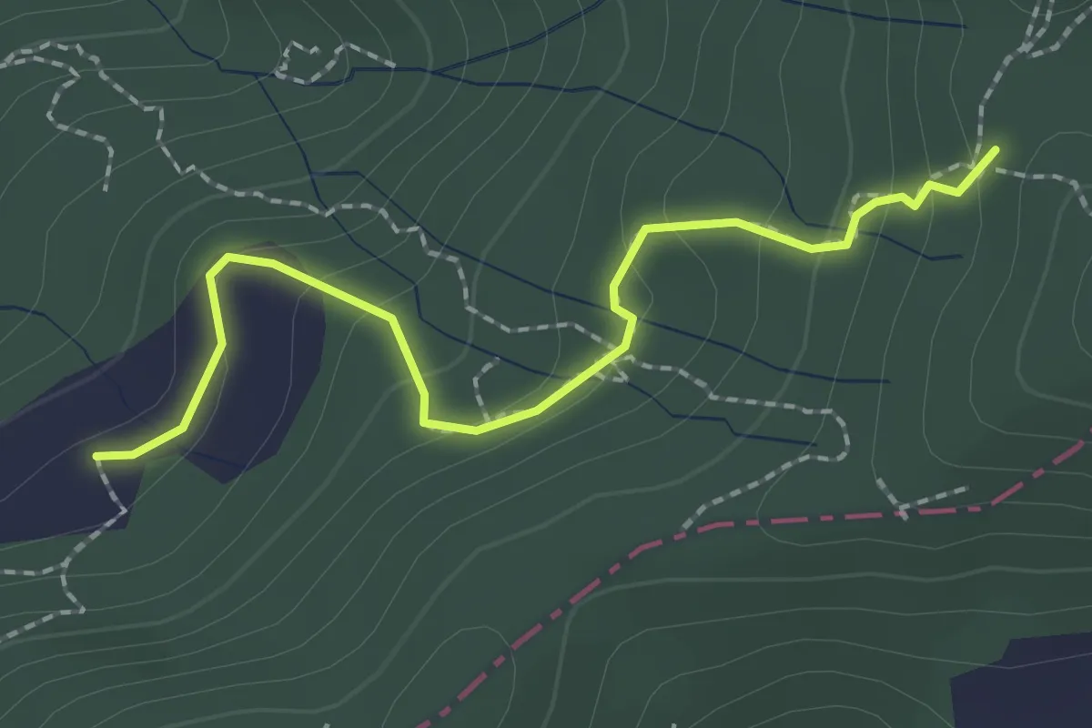
Easy · Trail
S2/bis Sentiero La bronzina - Quattro strade
2.2 km · ↑ 131 m · 49 min · 12 km away
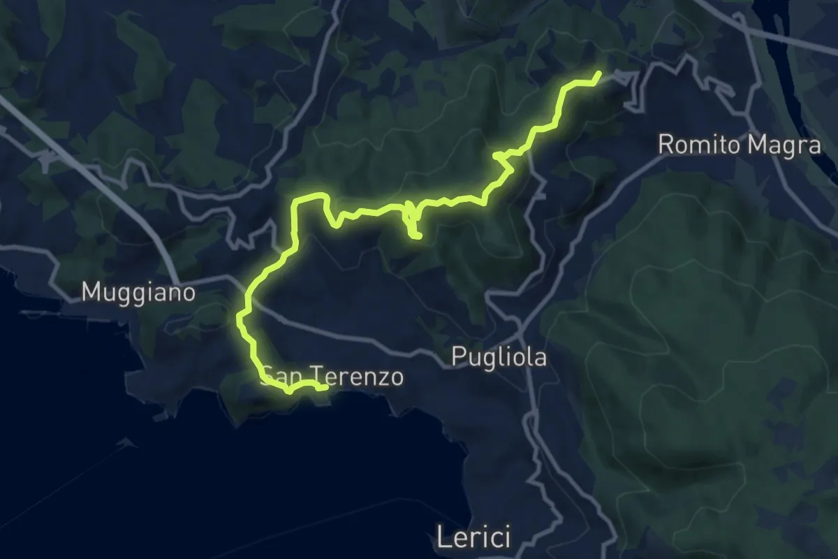
Medium · Summit
San Terenzo - Pozzuolo – sella Pin Bon – Trebiano
11.8 km · ↑ 598 m · 4 h 5 min · 12 km away
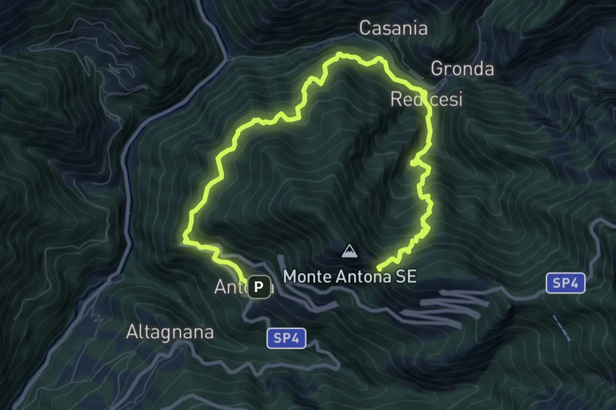
Demanding · Trail
Anello di Redicesi
12.7 km · ↑ 1530 m · 6 h 19 min · 12 km away
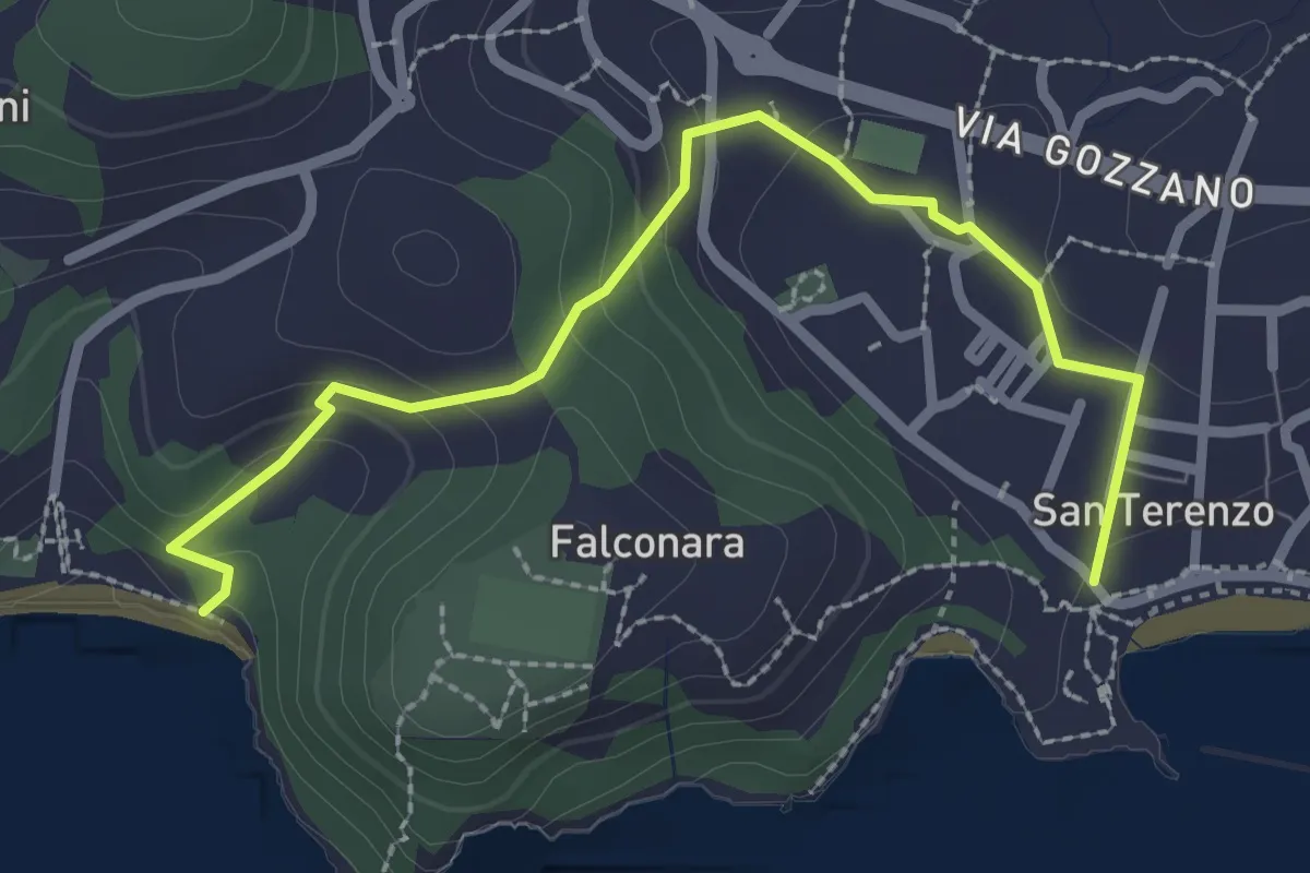
Easy · Trail
San Terenzo – Baia Blu
2.9 km · ↑ 127 m · 58 min · 12 km away
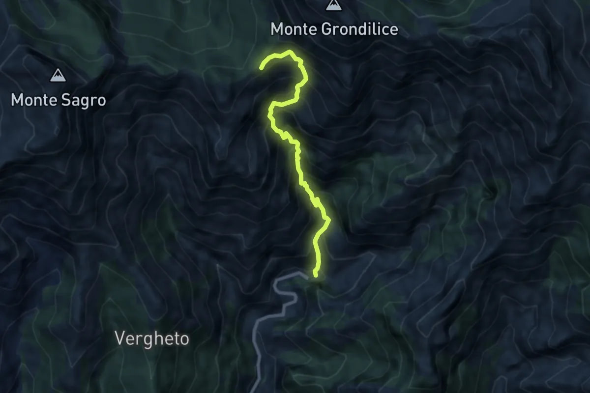
Demanding · Trail
Biforco – Foce Rasori
6.5 km · ↑ 1081 m · 3 h 53 min · 12 km away
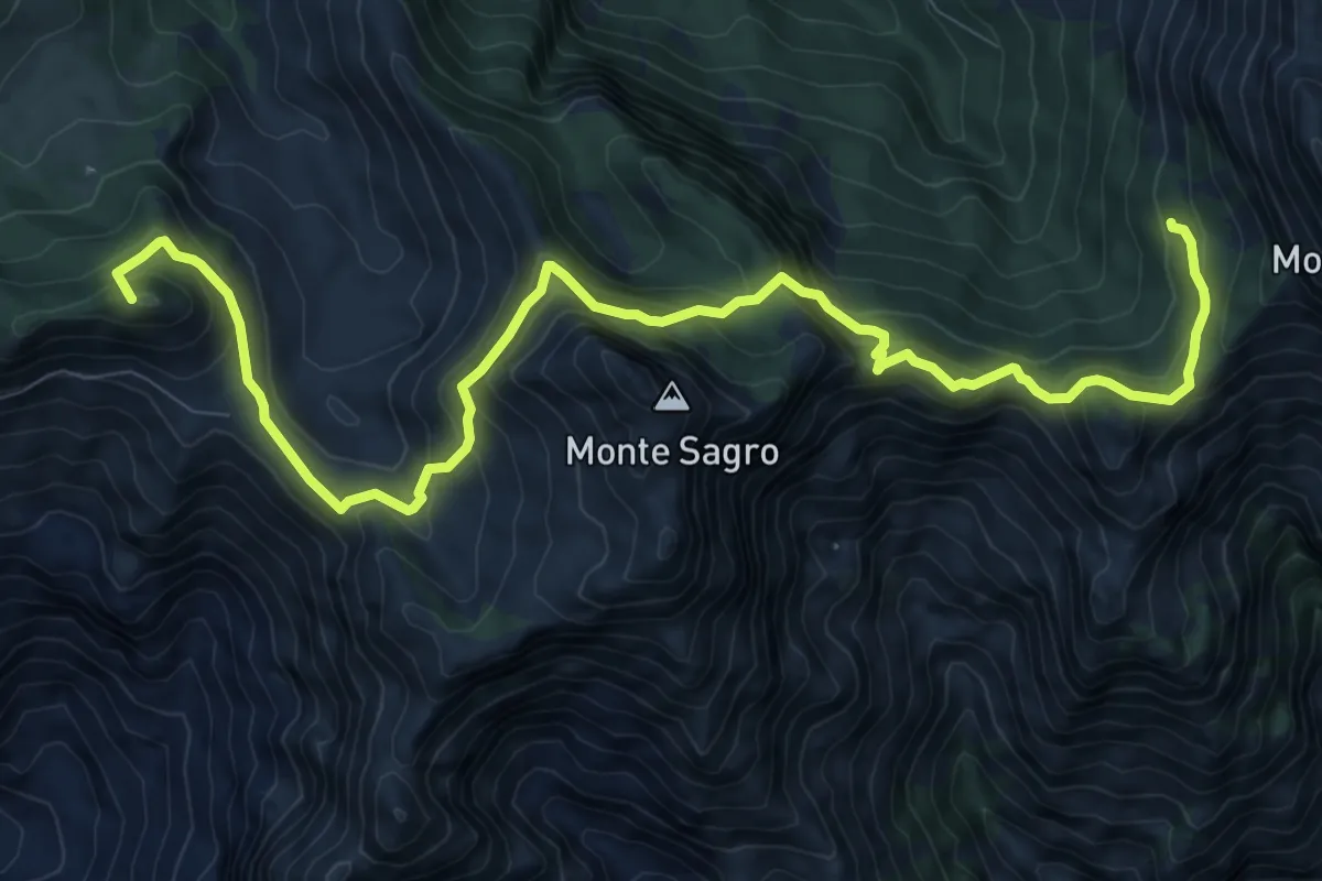
Demanding · Summit
Rifugio Carrara – Capanna Garnerone
12.4 km · ↑ 912 m · 4 h 54 min · 12 km away
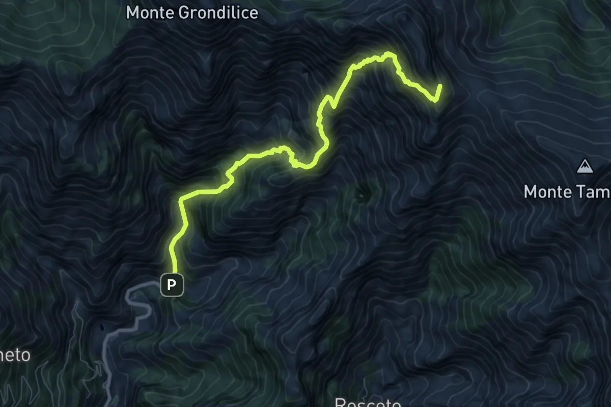
Demanding · Summit
Biforco – Passo della Focolaccia
9.3 km · ↑ 1427 m · 5 h 17 min · 12 km away
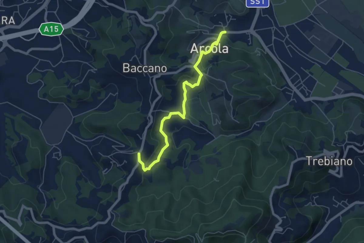
Medium · Trail
Ponte di Arcola – Pietralba
5.5 km · ↑ 234 m · 1 h 48 min · 12 km away
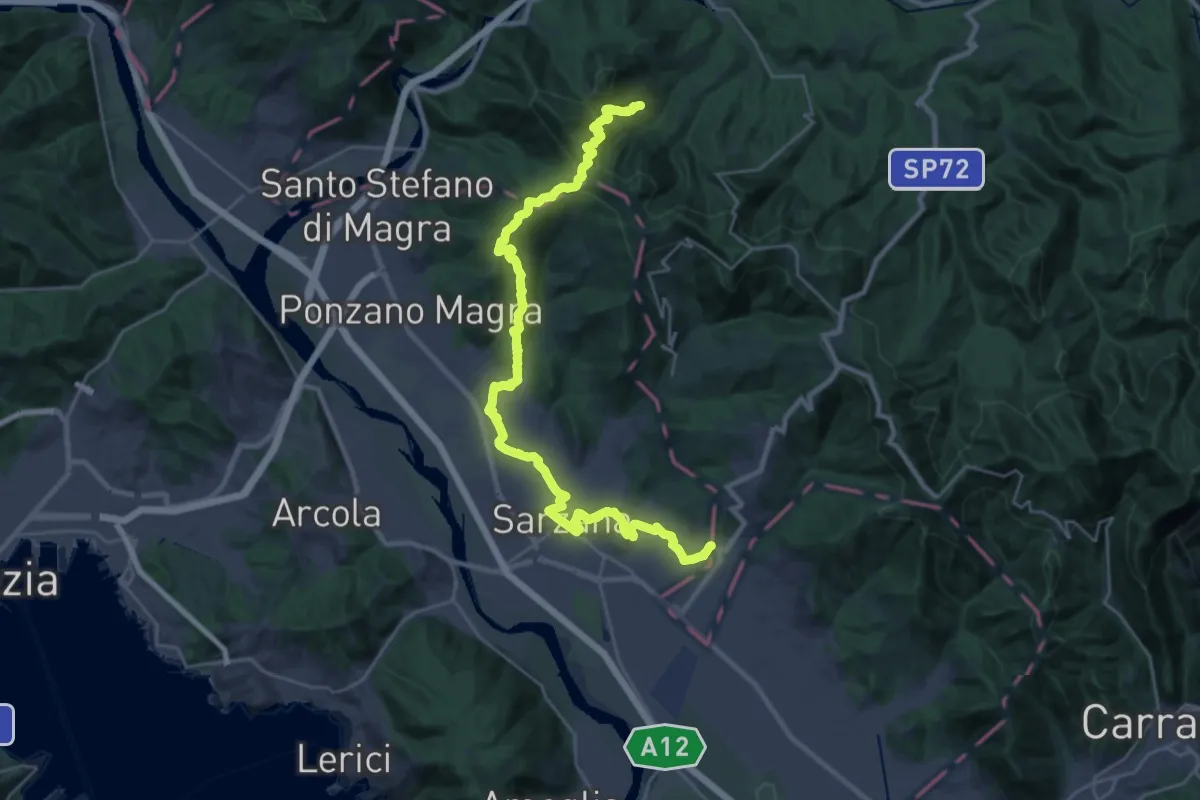
Demanding · Pilgrim path
Via Francigena - 05 Liguria
16.9 km · ↑ 476 m · 5 h 22 min · 12 km away
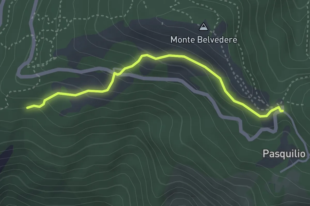
Easy · Trail
Via delle Fonti 10 - Comunale da Massa al Pasquilio
3.4 km · ↑ 183 m · 1 h 12 min · 12 km away
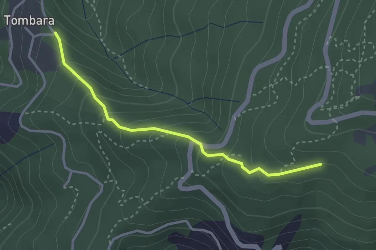
Easy · Trail
Via delle Fonti 9 - Vicinale del Marciadrino
2.8 km · ↑ 240 m · 1 h 10 min · 12 km away
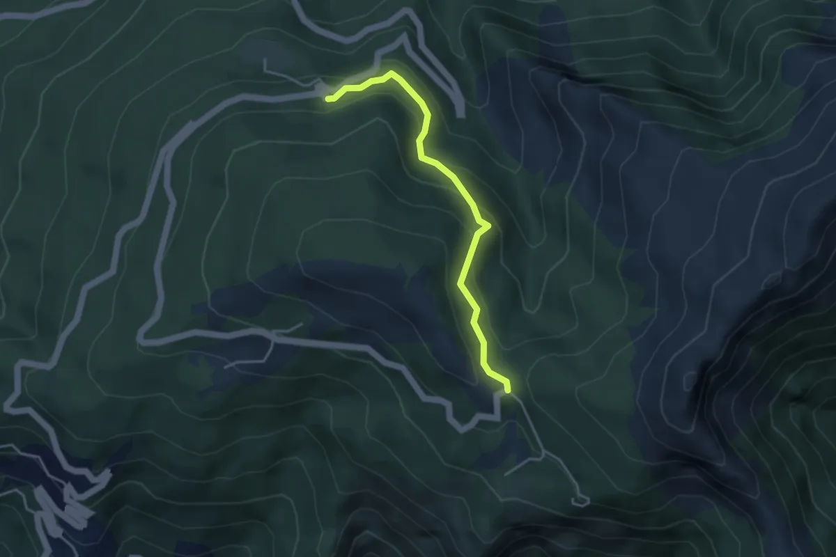
Easy · Trail
Via delle Fonti 5 - Vicinale della Fontana Morosa
3.6 km · ↑ 230 m · 1 h 21 min · 12 km away
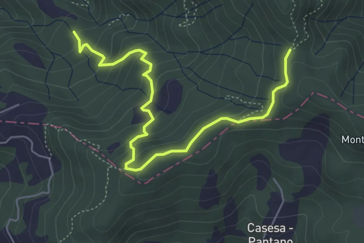
Easy · Trail
S2 Sentiero Valle dei Mulini- Quattro Strade
5.6 km · ↑ 305 m · 1 h 59 min · 12 km away
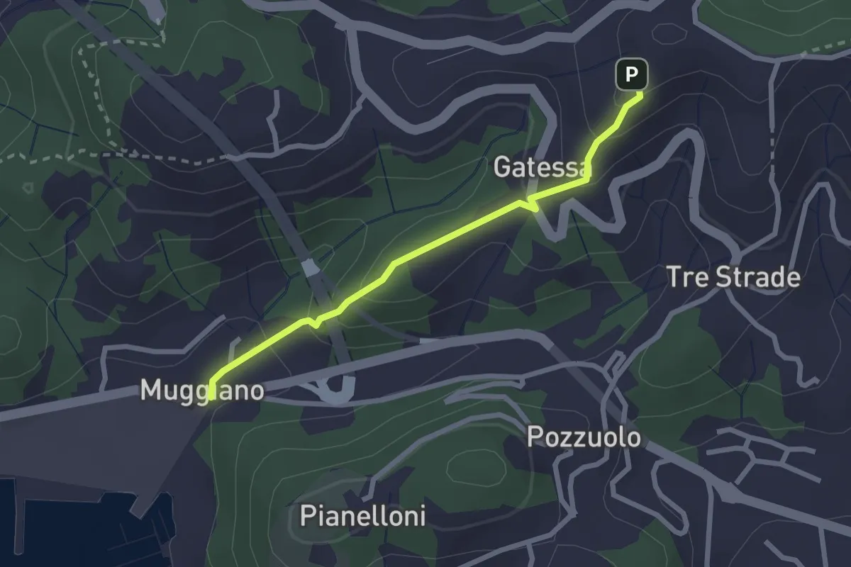
Easy · Trail
Muggiano – Percorso 450
2.4 km · ↑ 143 m · 52 min · 12 km away
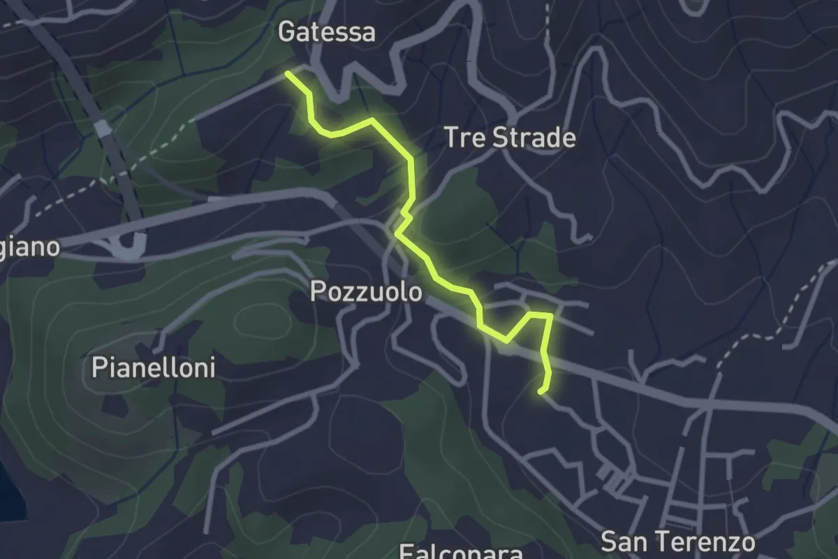
Easy · Trail
Bagnara – Pozzuolo - innesto sent. 451
2.3 km · ↑ 103 m · 46 min · 12 km away
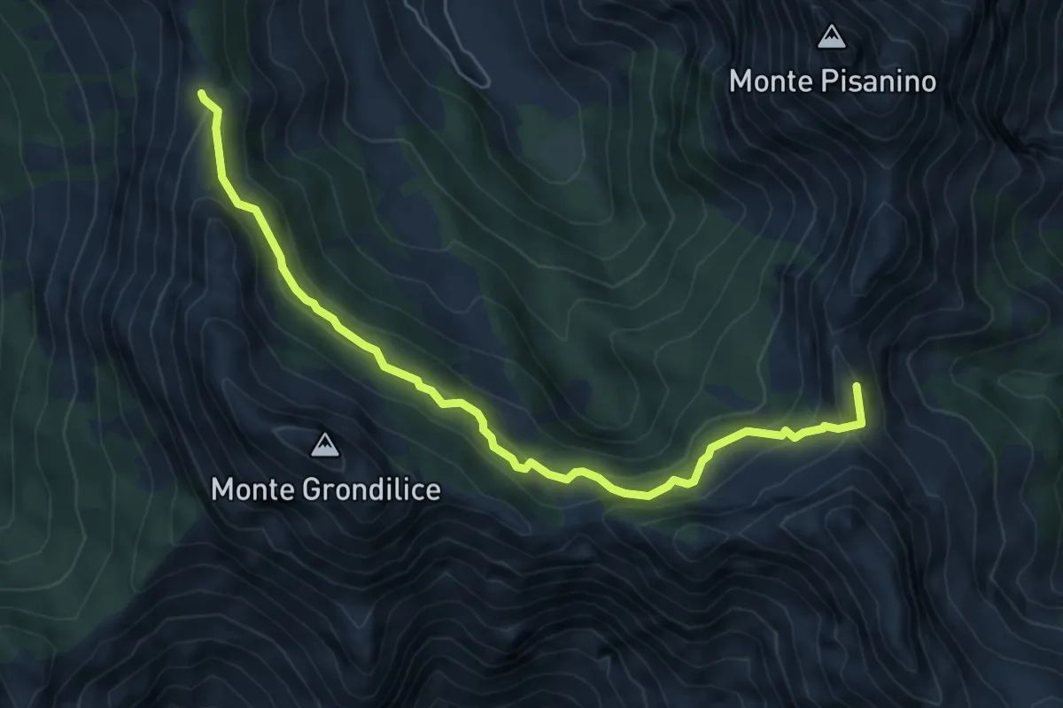
Medium · Summit
Foce di Giovo – Passo della Focolaccia
6.7 km · ↑ 494 m · 2 h 39 min · 13 km away
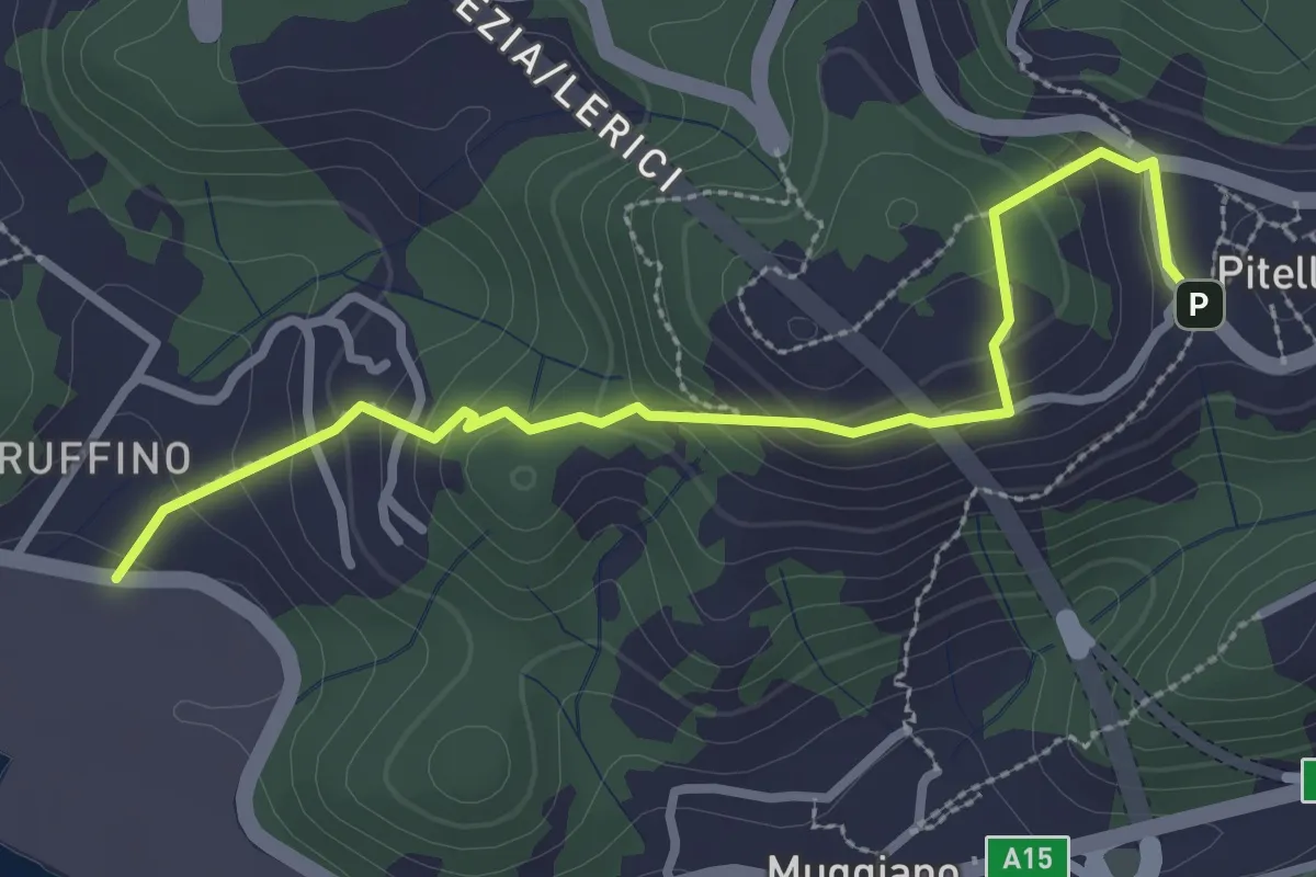
Easy · Trail
Ruffino – Pitelli
3.2 km · ↑ 224 m · 1 h 14 min · 13 km away
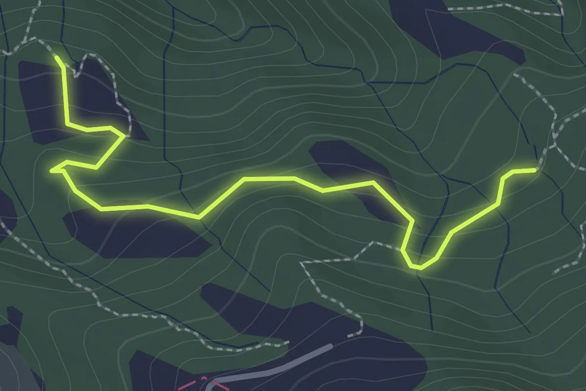
Easy · Trail
La Bastia – Castagni Grossi (bivio 231)
2.8 km · ↑ 159 m · 1 h · 13 km away
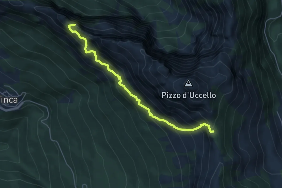
Expert · Summit
Sentiero attrezzato Mario Piotti
4.8 km · ↑ 705 m · 2 h 40 min · 13 km away
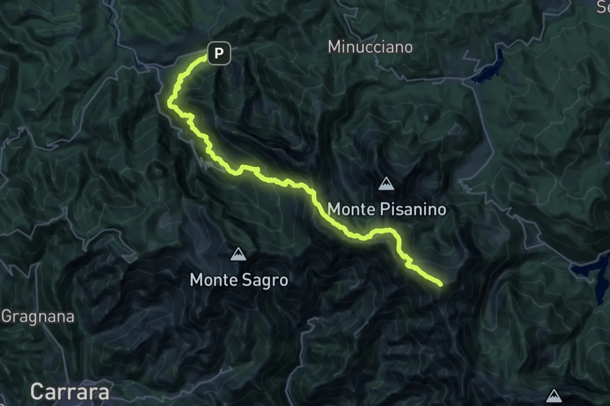
Demanding · Summit
Rifugio CAI Nello Conti – Equi Terme
30.4 km · ↑ 2755 m · 13 h 9 min · 13 km away