Trails near Magione
48 hikes starting within 15 km, nearest first.
Nearest first
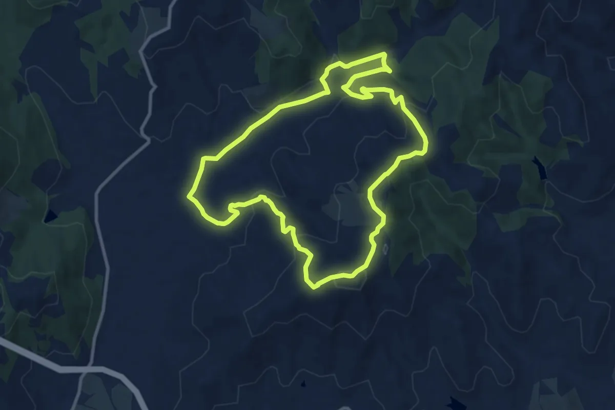
Medium · Trail
Goga di Magione - Caligiana
9.4 km · ↑ 302 m · 3 h 1 min · 5 km away
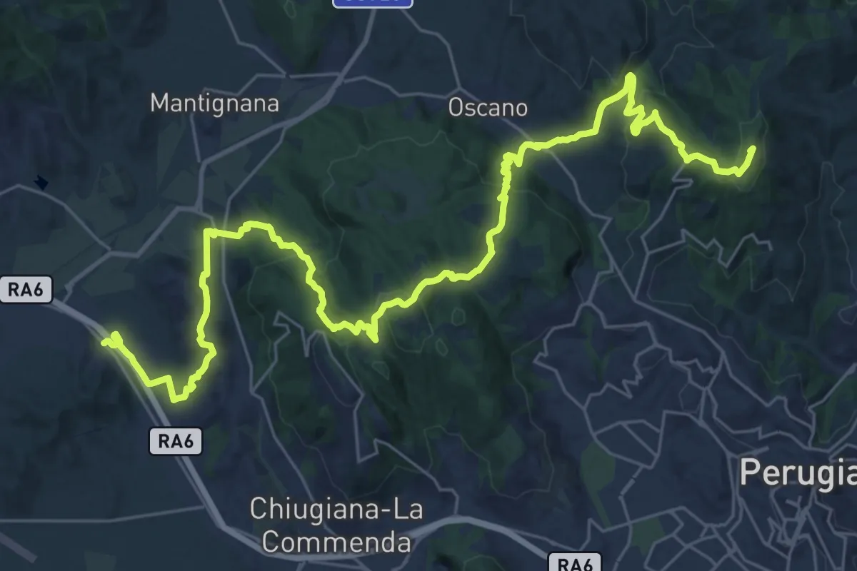
Demanding · Summit
Ponte Pattoli – Taverne di Corciano (S. Pietro)
38.9 km · ↑ 1453 m · 12 h 20 min · 6 km away
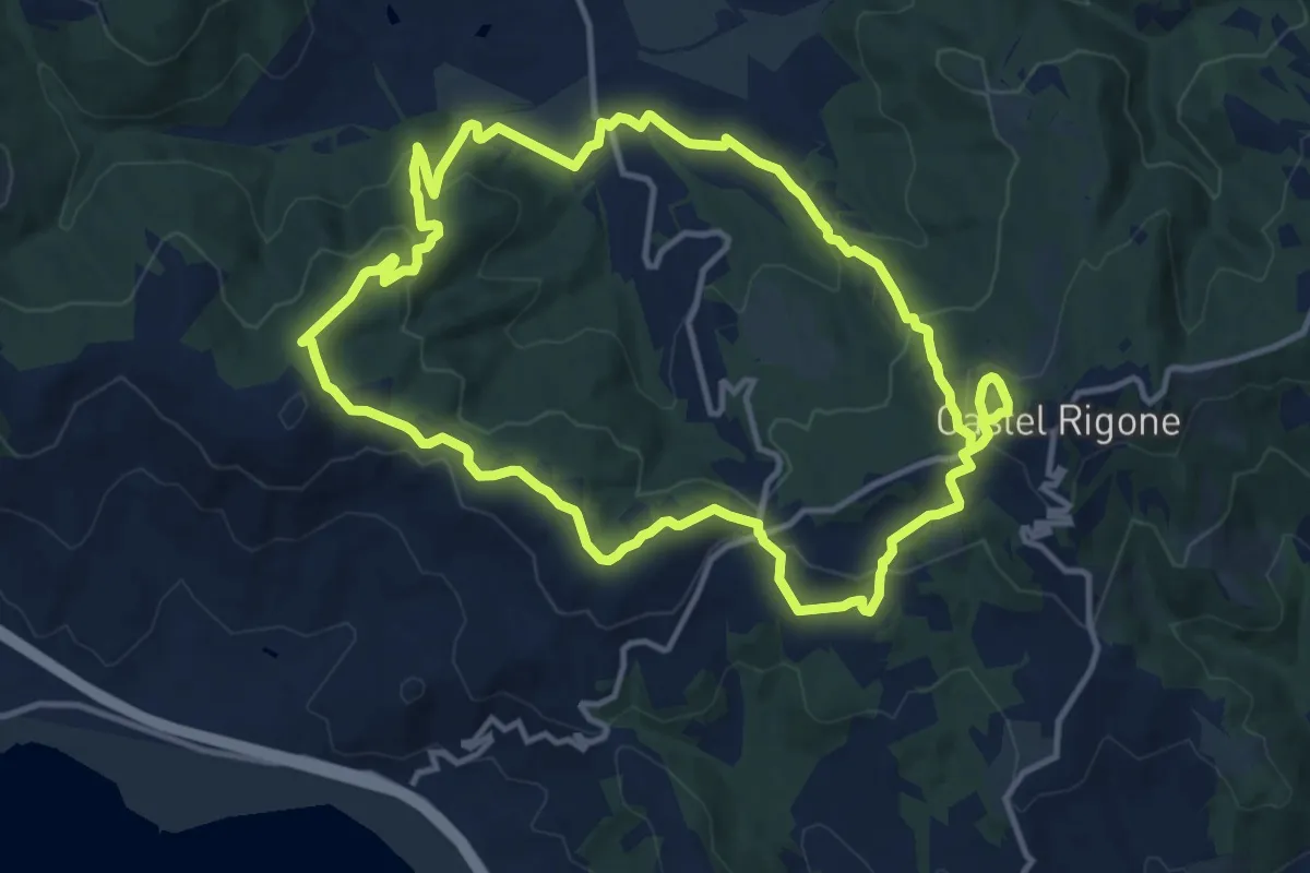
Medium · Summit
Castel Rigone – Castel Rigone
13.6 km · ↑ 510 m · 4 h 30 min · 6 km away
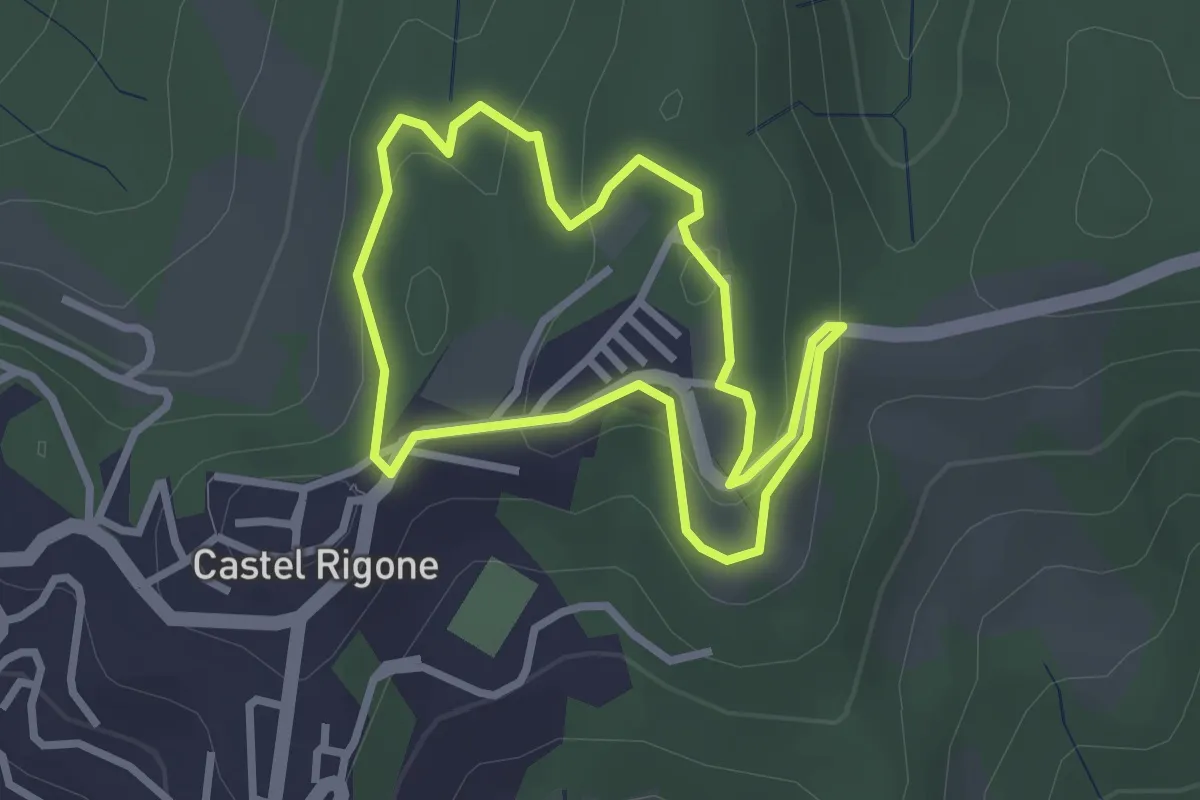
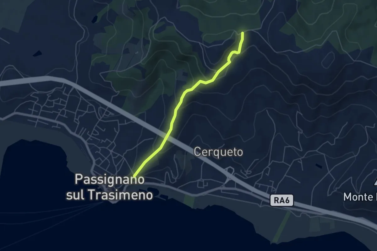
Easy · Trail
Castel Rigone
2.7 km · ↑ 89 m · 52 min · 7 km away
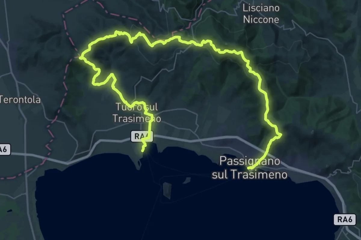
Easy · Trail
San Crispolto
5.0 km · ↑ 258 m · 1 h 44 min · 7 km away
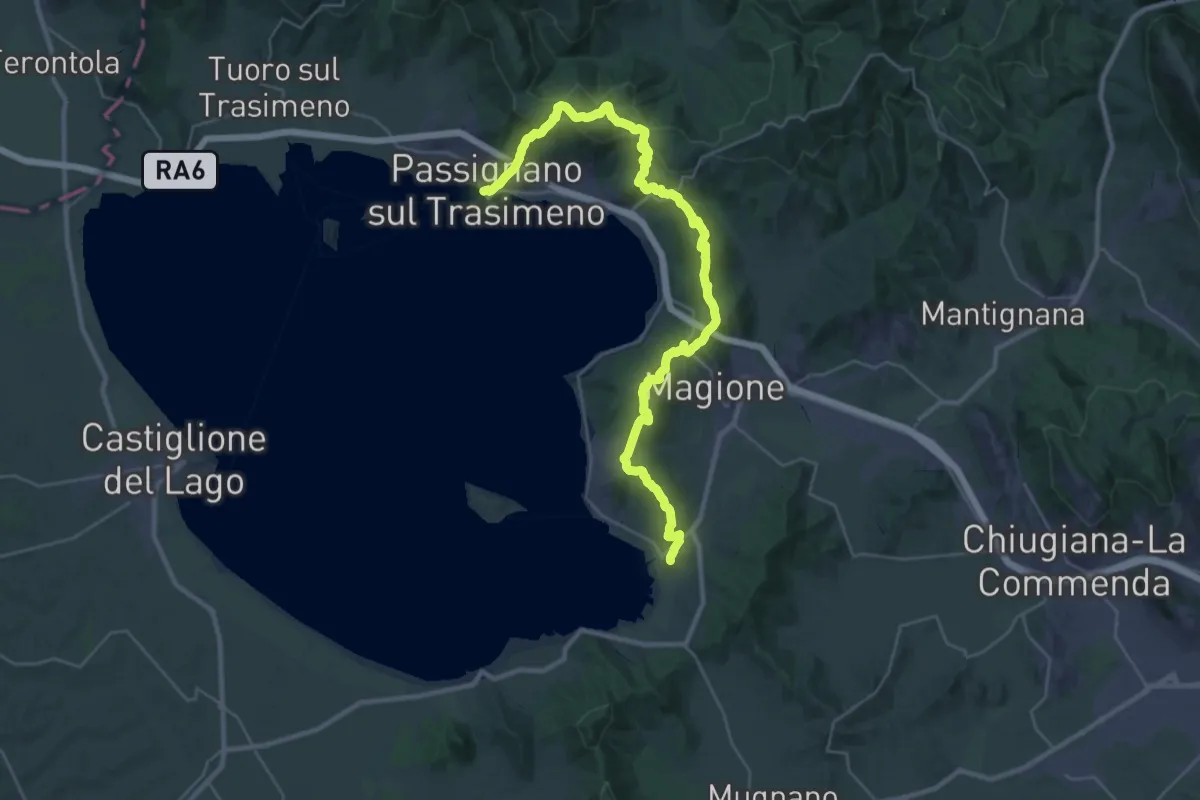
Demanding · Summit
La Via del Trasimeno Tappa 7
25.4 km · ↑ 767 m · 8 h 2 min · 7 km away
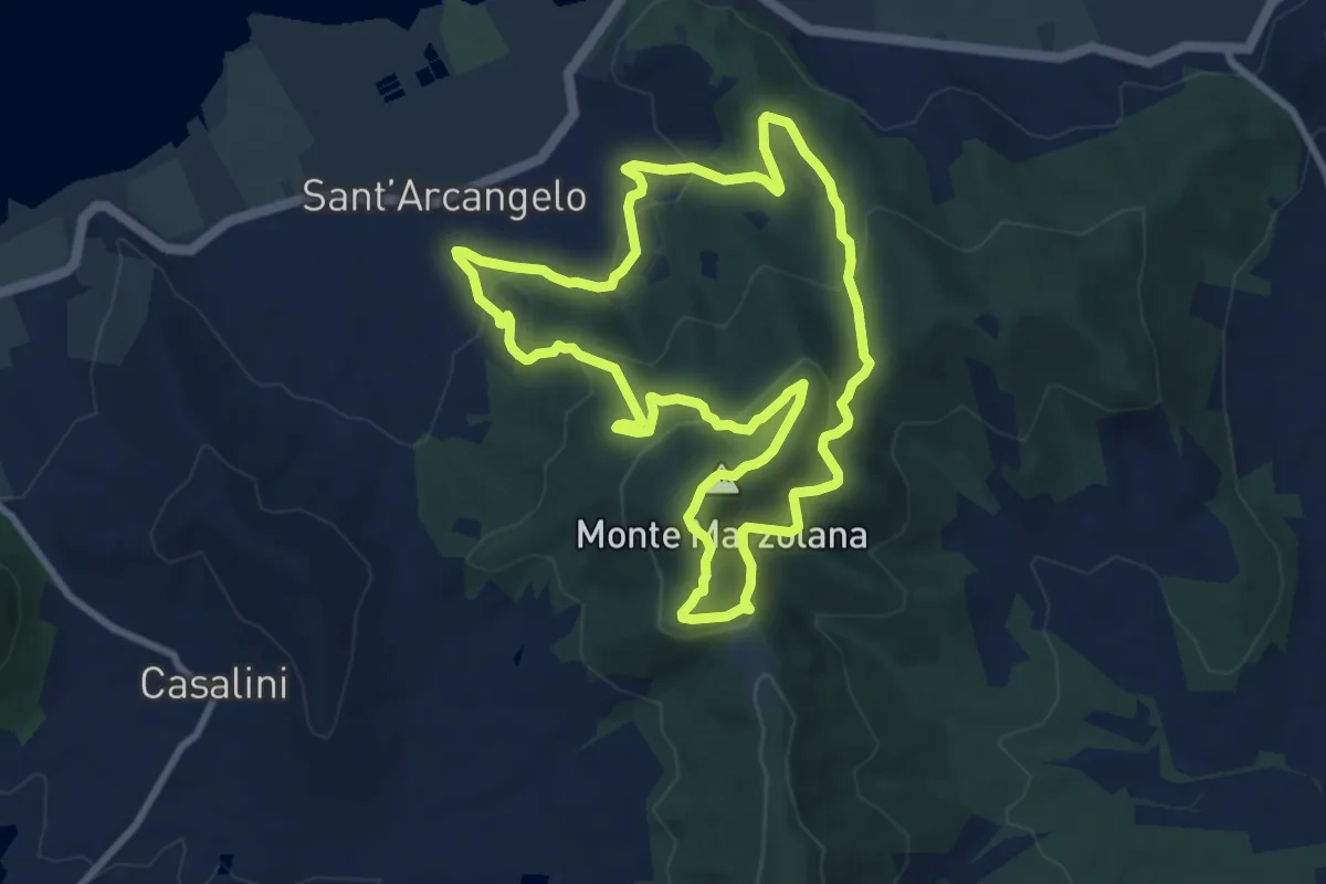
Demanding · Trail
La Via del Trasimeno Tappa 1
20.7 km · ↑ 659 m · 6 h 36 min · 7 km away
Medium · Summit
Sant'Arcangelo – Sant'Arcangelo
9.2 km · ↑ 436 m · 3 h 14 min · 8 km away
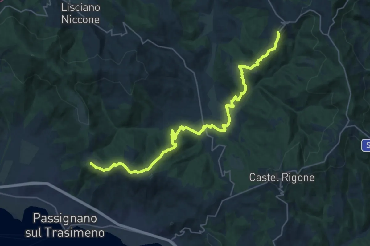
Demanding · Trail
Preggio – Intersezione percorso 50
23.6 km · ↑ 837 m · 7 h 23 min · 8 km away
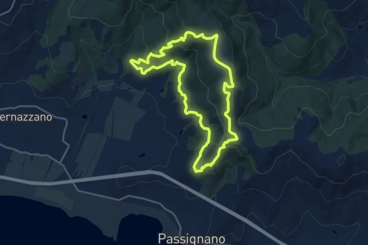
Medium · Trail
Borgo Torale – Borgo Torale
10.1 km · ↑ 376 m · 3 h 20 min · 8 km away
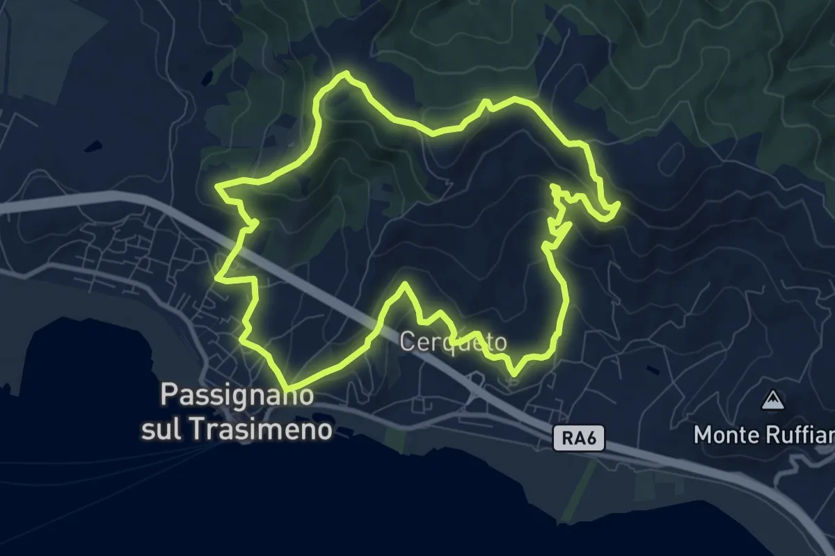
Medium · Trail
La Martinella
10.4 km · ↑ 437 m · 3 h 33 min · 8 km away
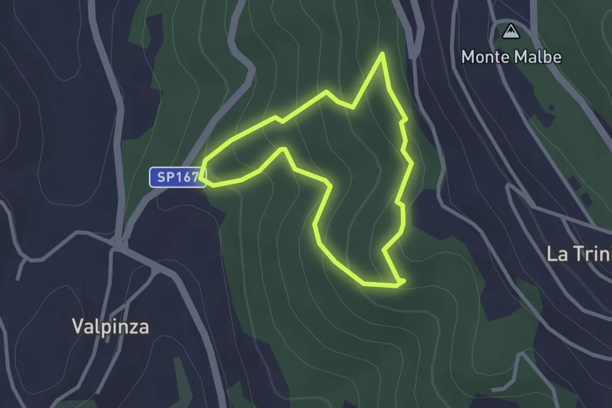
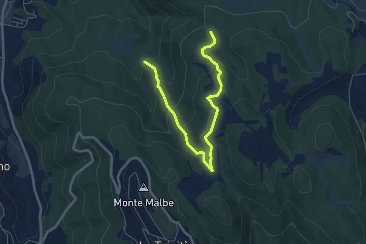
Easy · Trail
Il Poggiolo
2.2 km · ↑ 157 m · 54 min · 8 km away
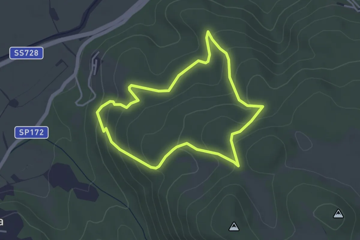
Medium · Trail
Monte Malbe Podere Le Trosce
6.4 km · ↑ 329 m · 2 h 13 min · 8 km away
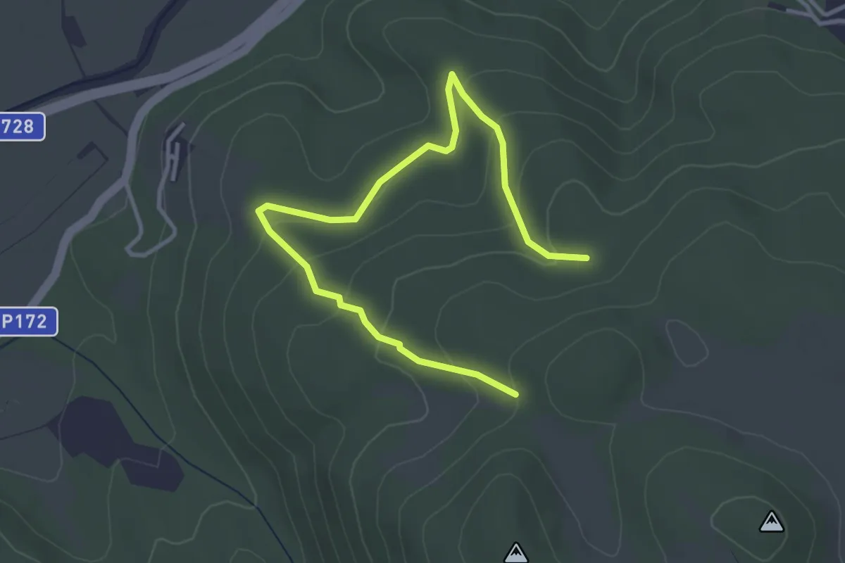
Easy · Trail
Le Piagge
3.4 km · ↑ 158 m · 1 h 11 min · 9 km away
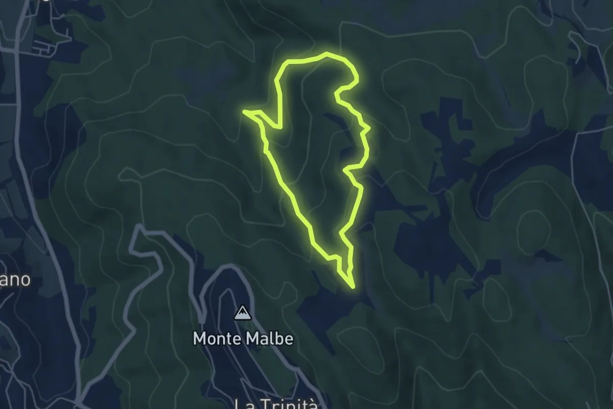
Easy · Trail
Monte Malbe Le Piagge
4.4 km · ↑ 206 m · 1 h 29 min · 9 km away
Easy · Trail
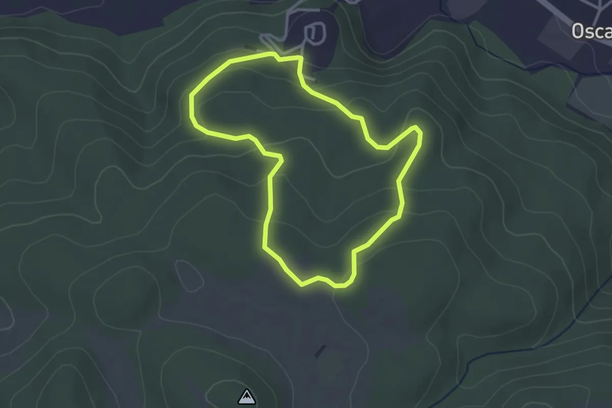
Le Trosce
4.3 km · ↑ 230 m · 1 h 35 min · 9 km away
Easy · Trail
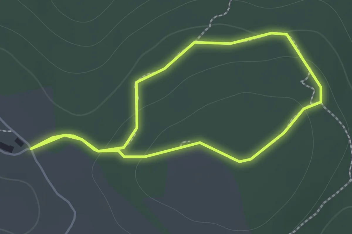
Campore
3.0 km · ↑ 122 m · 1 h · 10 km away
Easy · Trail
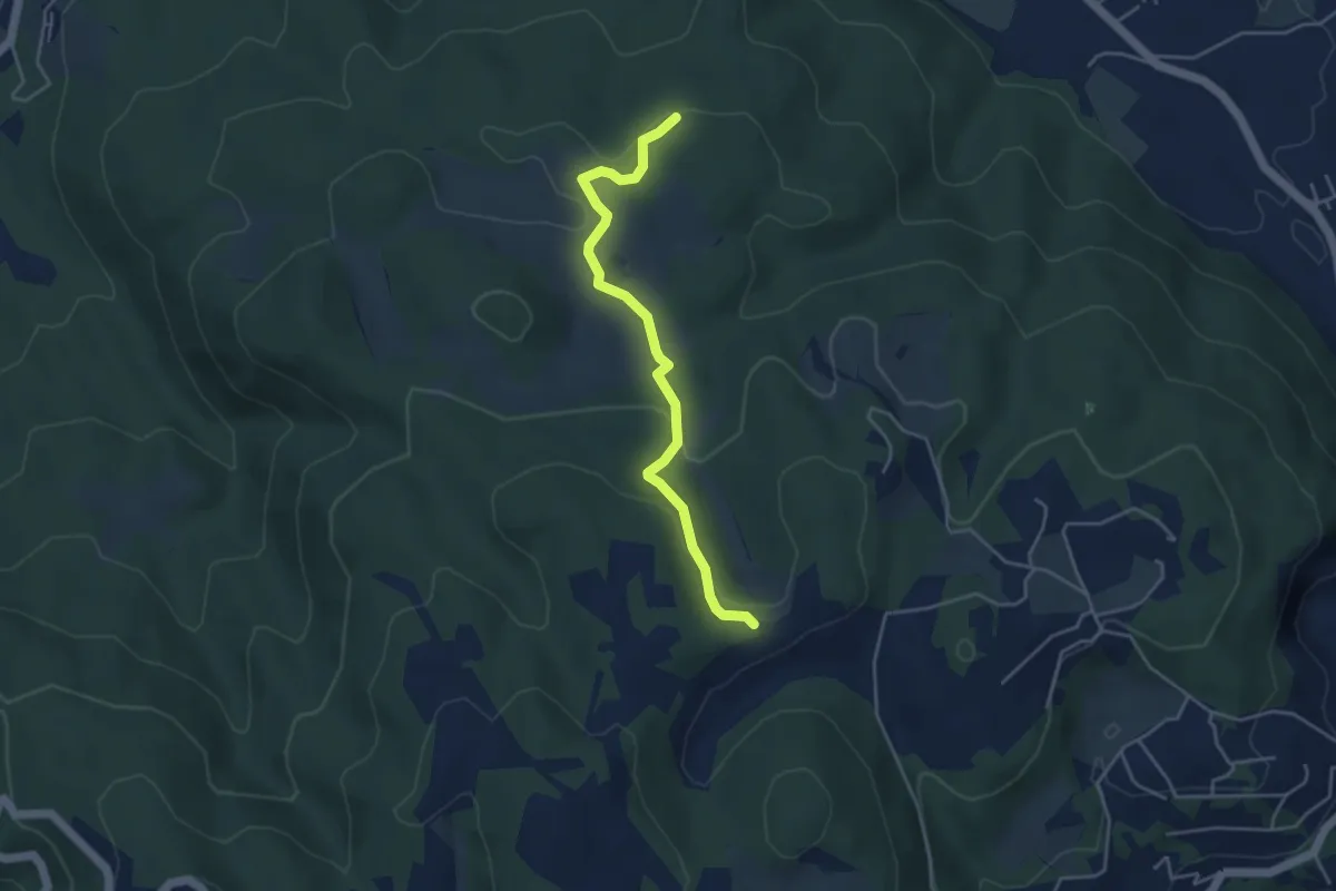
Sentiero Fantastico
1.3 km · ↑ 26 m · 23 min · 10 km away
Easy · Trail
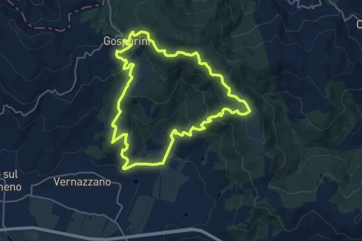
Intersezione percorso 943 – Intersezione percorso 947
4.4 km · ↑ 123 m · 1 h 19 min · 10 km away
Medium · Trail
Borgo Torale – Borgo Torale
13.0 km · ↑ 552 m · 4 h 26 min · 10 km away
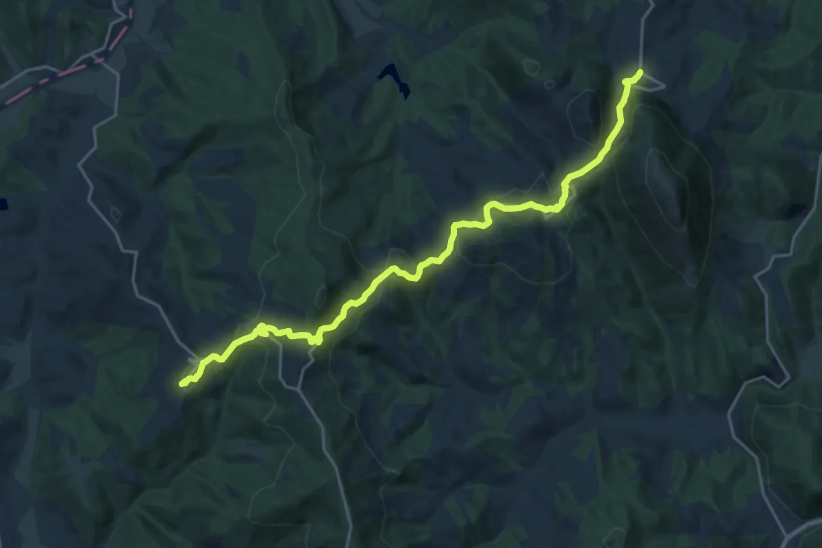
Demanding · Trail
Preggio – Palazzetto
20.3 km · ↑ 821 m · 6 h 34 min · 11 km away
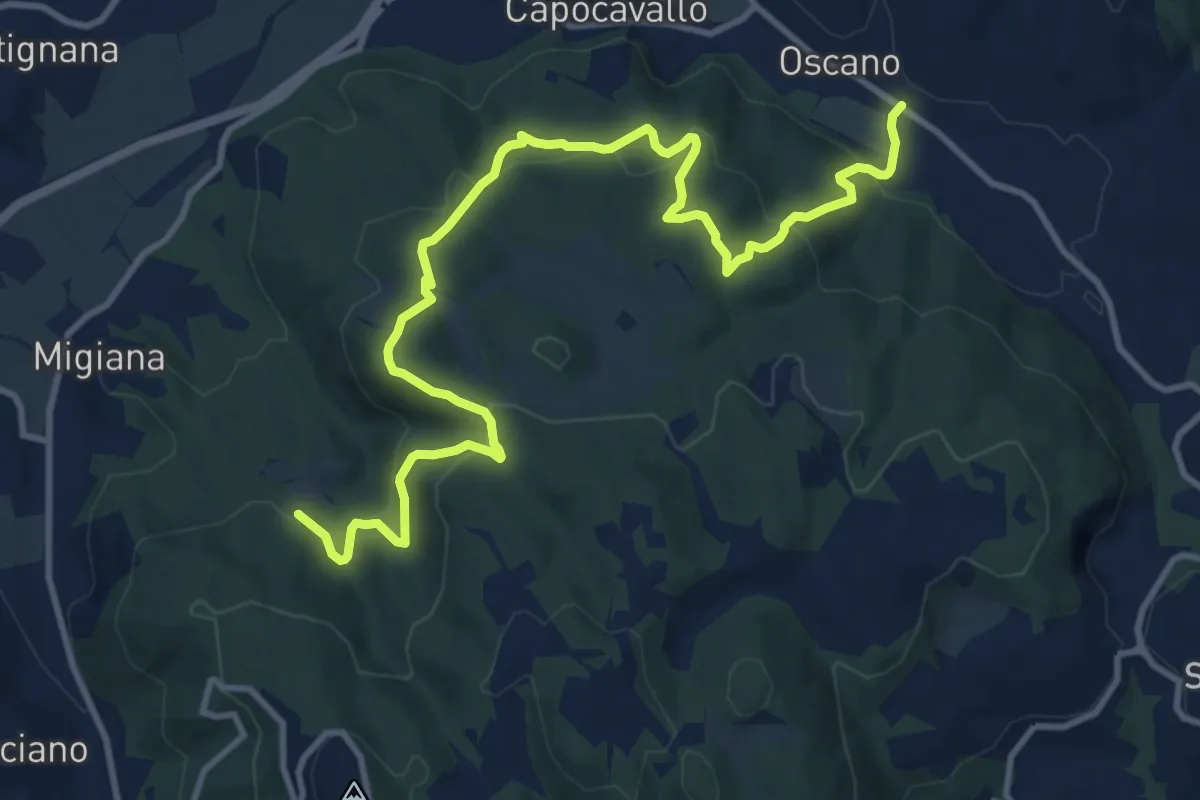
Medium · Trail
Collegamento Canneto
14.3 km · ↑ 639 m · 4 h 45 min · 11 km away
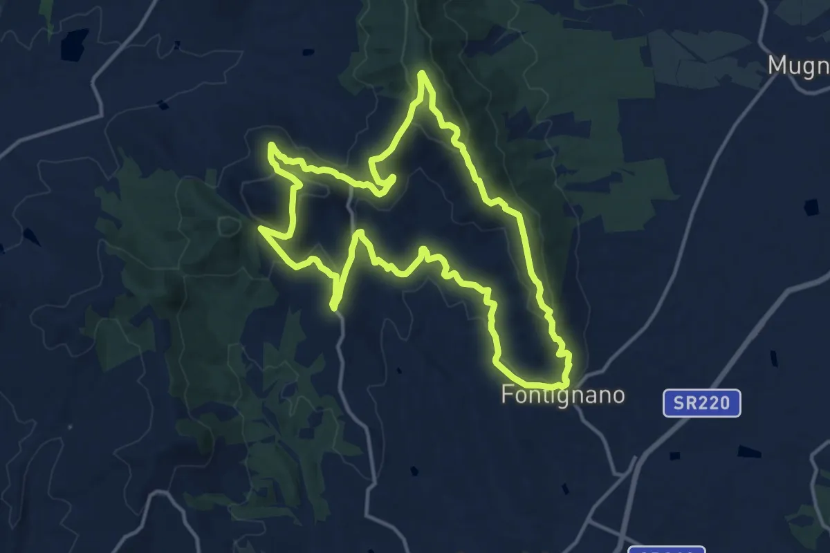
Medium · Trail
Fontignano – Fontignano
14.2 km · ↑ 486 m · 4 h 35 min · 12 km away
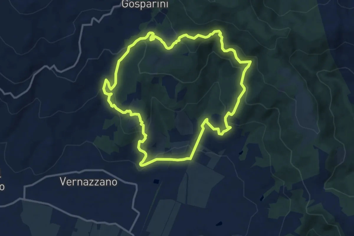
Medium · Trail
Sentiero Frassati
10.0 km · ↑ 473 m · 3 h 32 min · 12 km away
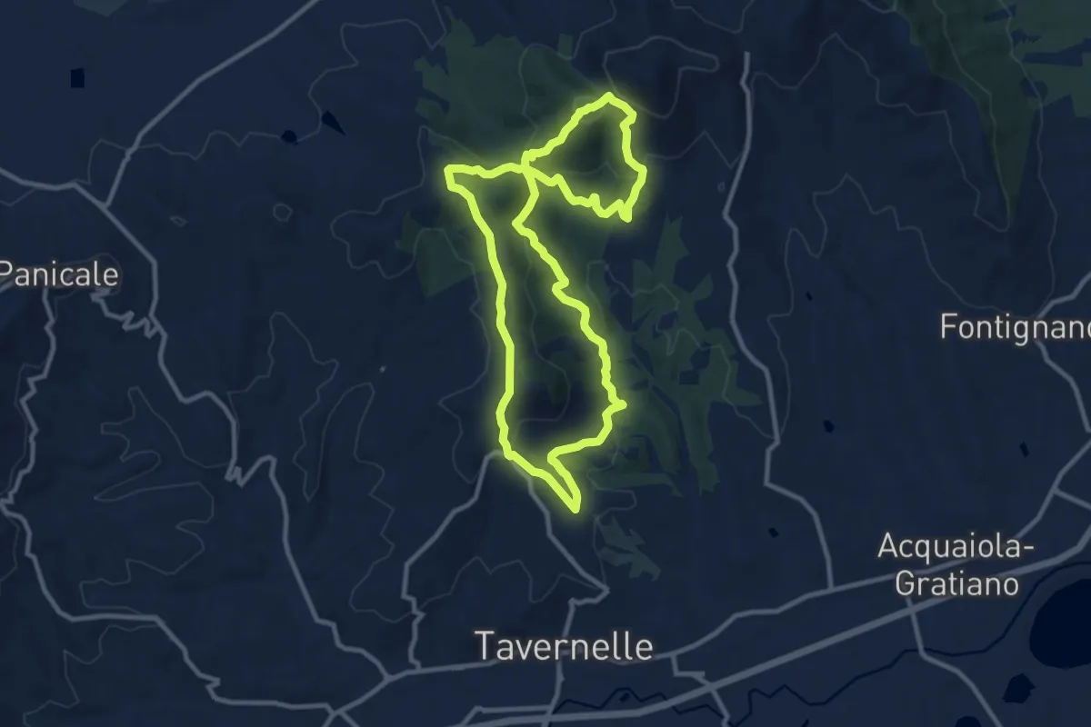
Medium · Trail
Mongiovino – Mongiovino
10.6 km · ↑ 452 m · 3 h 37 min · 12 km away
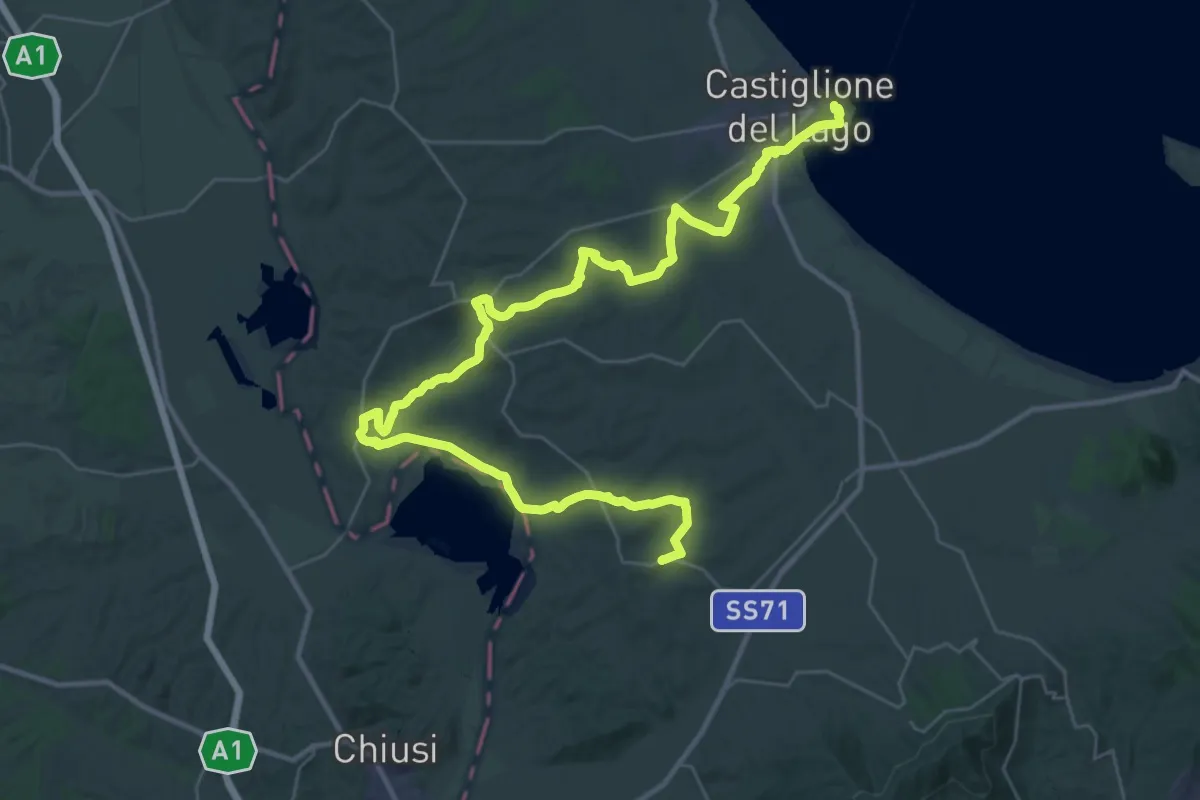
Demanding · Trail
La Via del Trasimeno Tappa 5
25.1 km · ↑ 429 m · 7 h 11 min · 12 km away
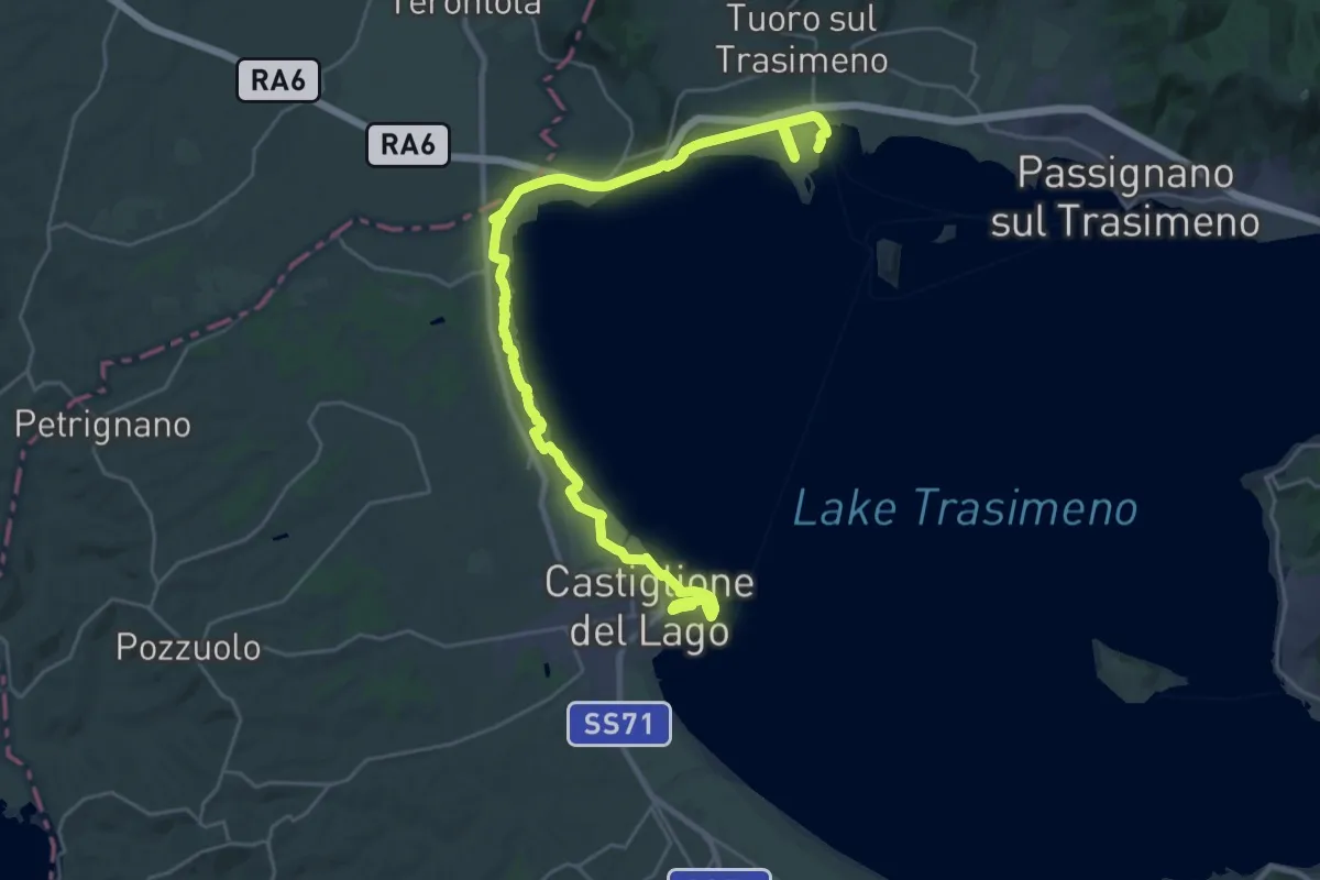
Medium · Trail
La Via del Trasimeno Tappa 6
17.4 km · ↑ 44 m · 4 h 28 min · 12 km away
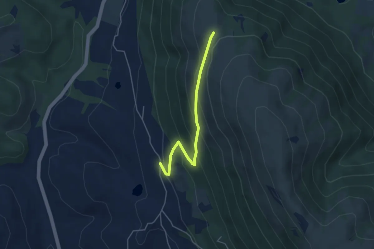
Easy · Trail
Pieve Petroia – Sentiero 962
3.9 km · ↑ 247 m · 1 h 27 min · 12 km away
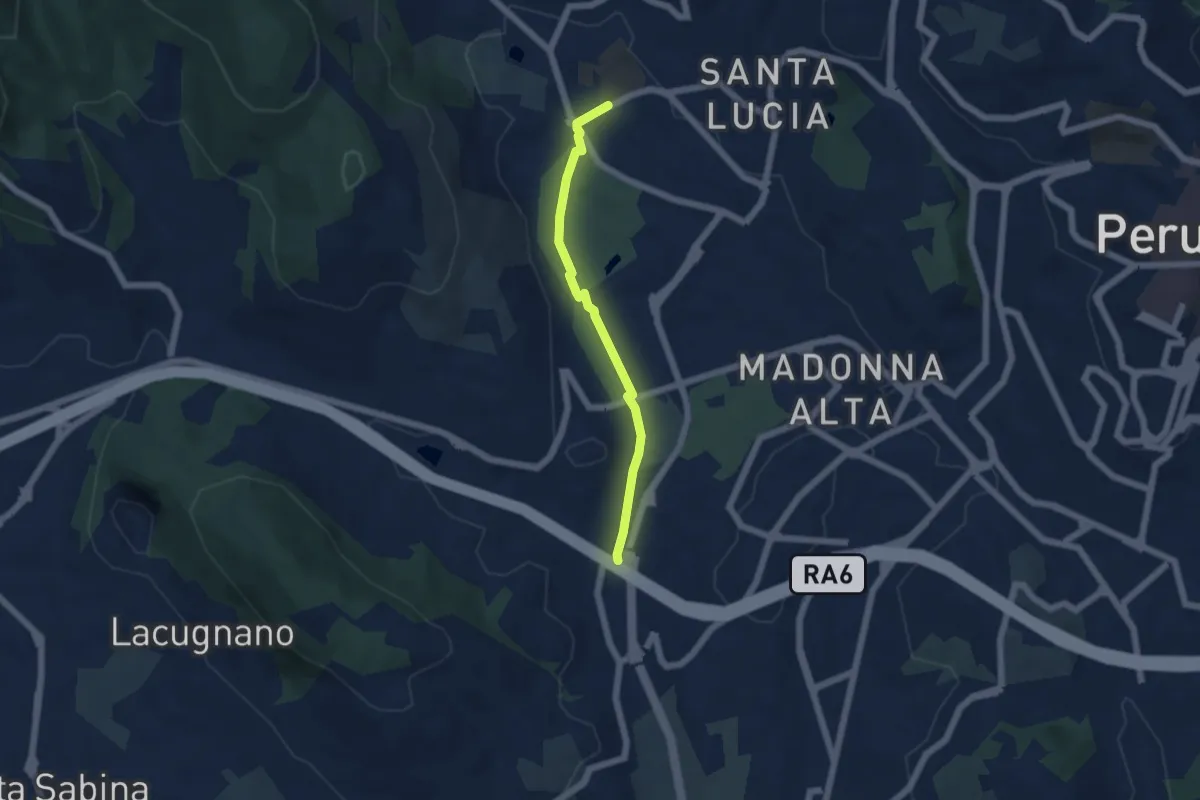
Easy · Trail
Pian di Massiano – Borgonovo
5.0 km · ↑ 26 m · 1 h 14 min · 13 km away
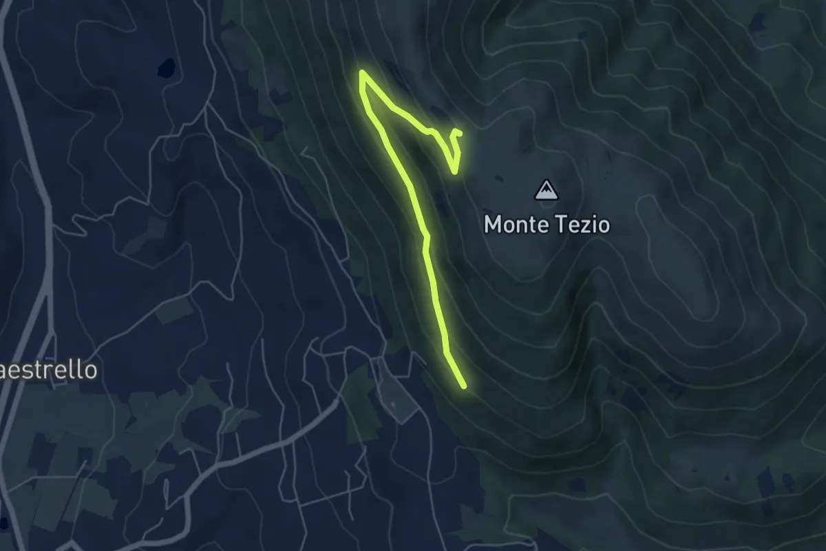
Medium · Trail
Monte Tezio Miralago
5.6 km · ↑ 291 m · 1 h 57 min · 13 km away
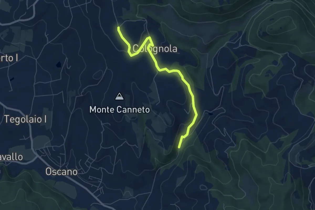
Easy · Trail
Colognola – Incrocio 943
6.9 km · ↑ 214 m · 2 h 6 min · 13 km away
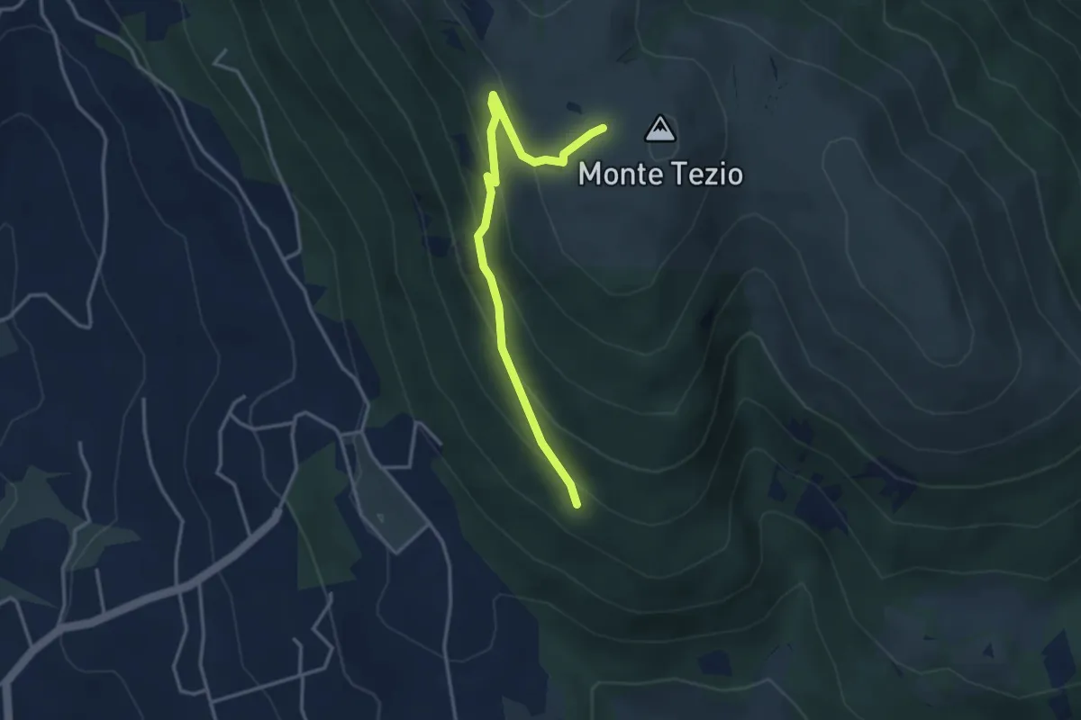
Easy · Trail
Monte Tezio Le Neviere
3.7 km · ↑ 252 m · 1 h 25 min · 13 km away
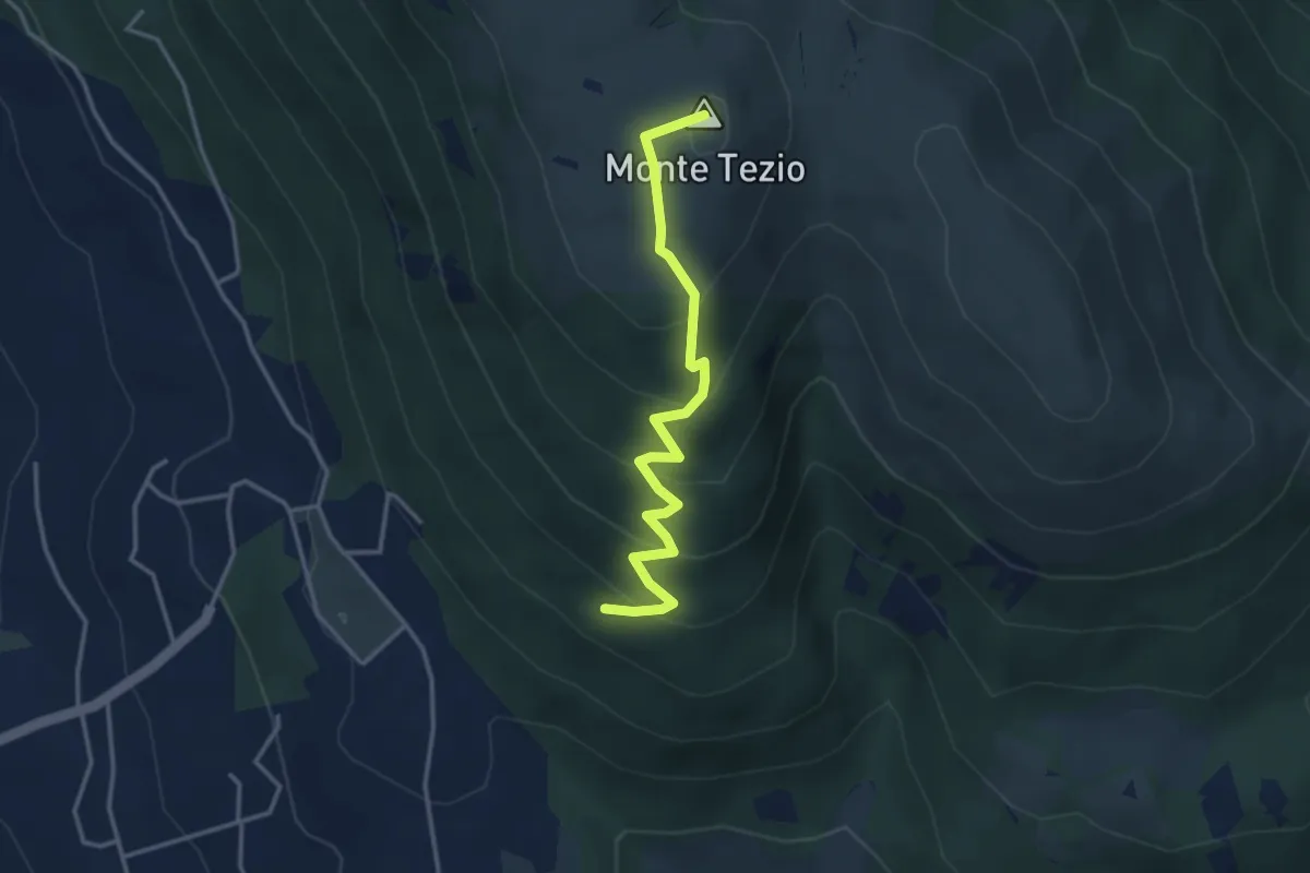
Medium · Summit
Infopoint Belvedere – C. Pavia
3.7 km · ↑ 270 m · 1 h 27 min · 13 km away
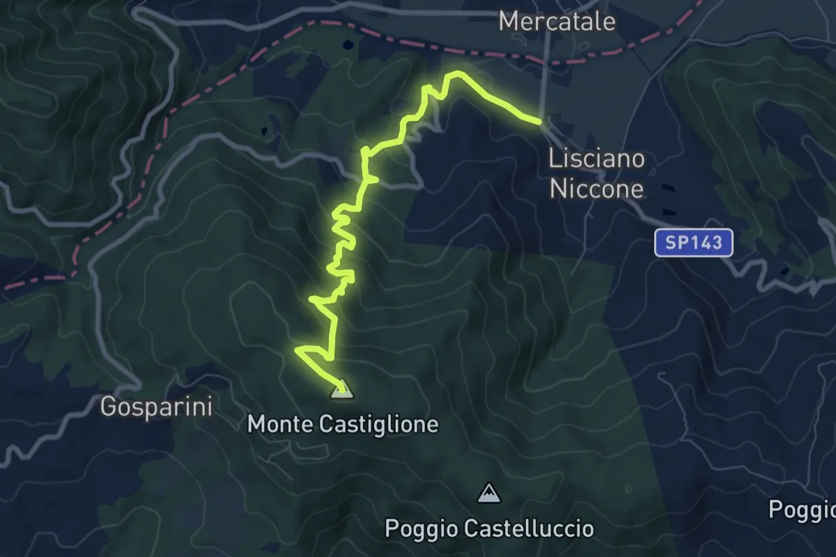
Expert · Summit
Lisciano Niccone – Monte Castiglione
8.9 km · ↑ 529 m · 3 h 14 min · 13 km away
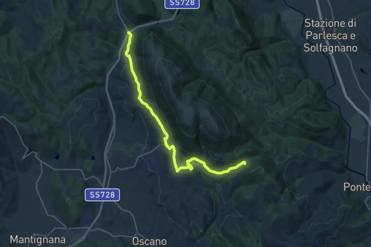
Medium · Trail
Colognola – San Giovanni del Pantano
17.9 km · ↑ 459 m · 5 h 13 min · 13 km away
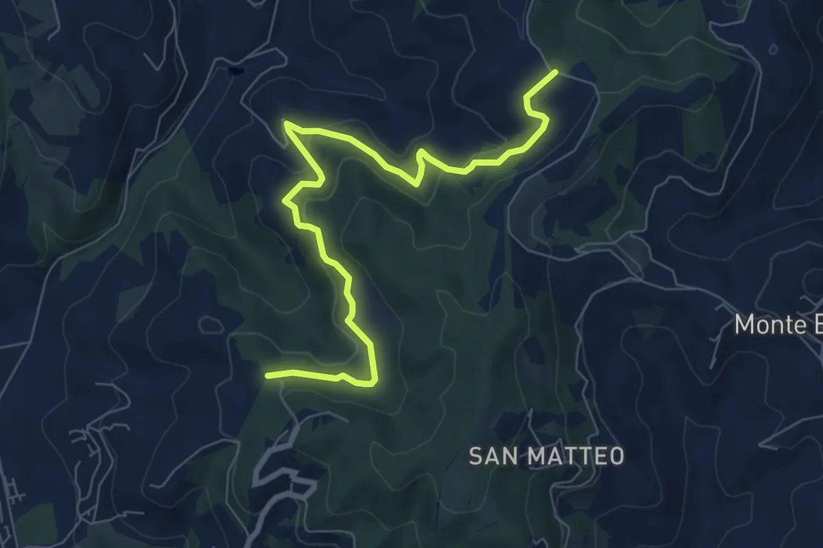
Medium · Trail
Podere Rubbiana – Conservone Nuovo
8.2 km · ↑ 317 m · 2 h 38 min · 13 km away
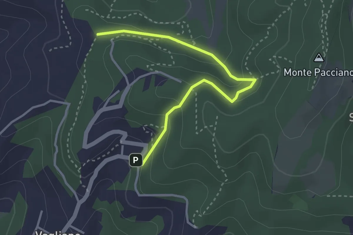
Easy · Trail
Conservone Vecchio – Sentiero 943
3.3 km · ↑ 173 m · 1 h 9 min · 14 km away
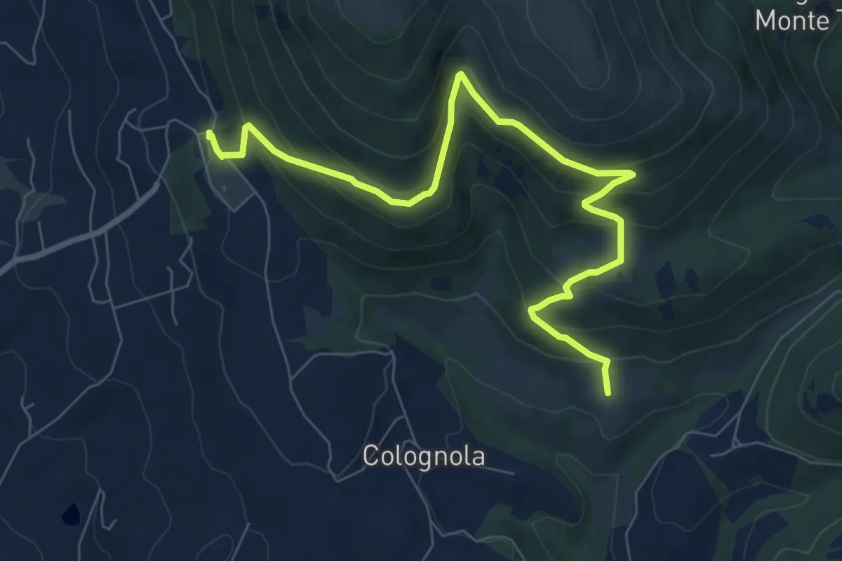
Medium · Trail
Monte Tezio Belvedere - Romitorio
9.1 km · ↑ 577 m · 3 h 24 min · 14 km away
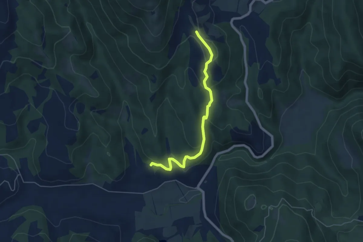
Easy · Trail
Galera – Pian di Nese
5.0 km · ↑ 176 m · 1 h 34 min · 14 km away
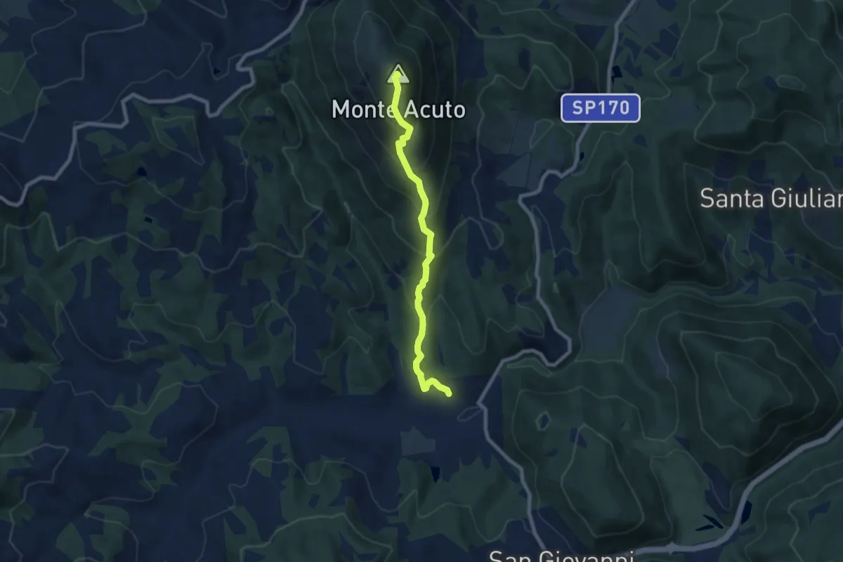
Medium · Summit
Traversata di Monte Acuto
7.4 km · ↑ 606 m · 3 h 4 min · 14 km away
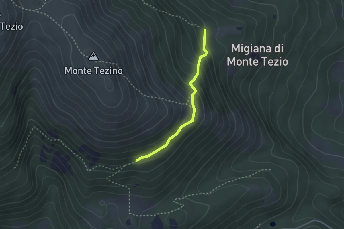
Easy · Trail
Monte Tezio Castel Procoio
2.5 km · ↑ 152 m · 56 min · 14 km away
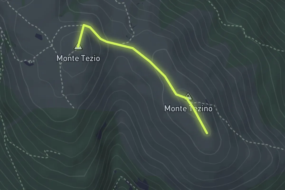
Easy · Summit
Monte Tezio – Monte Tezino
2.5 km · ↑ 98 m · 48 min · 14 km away
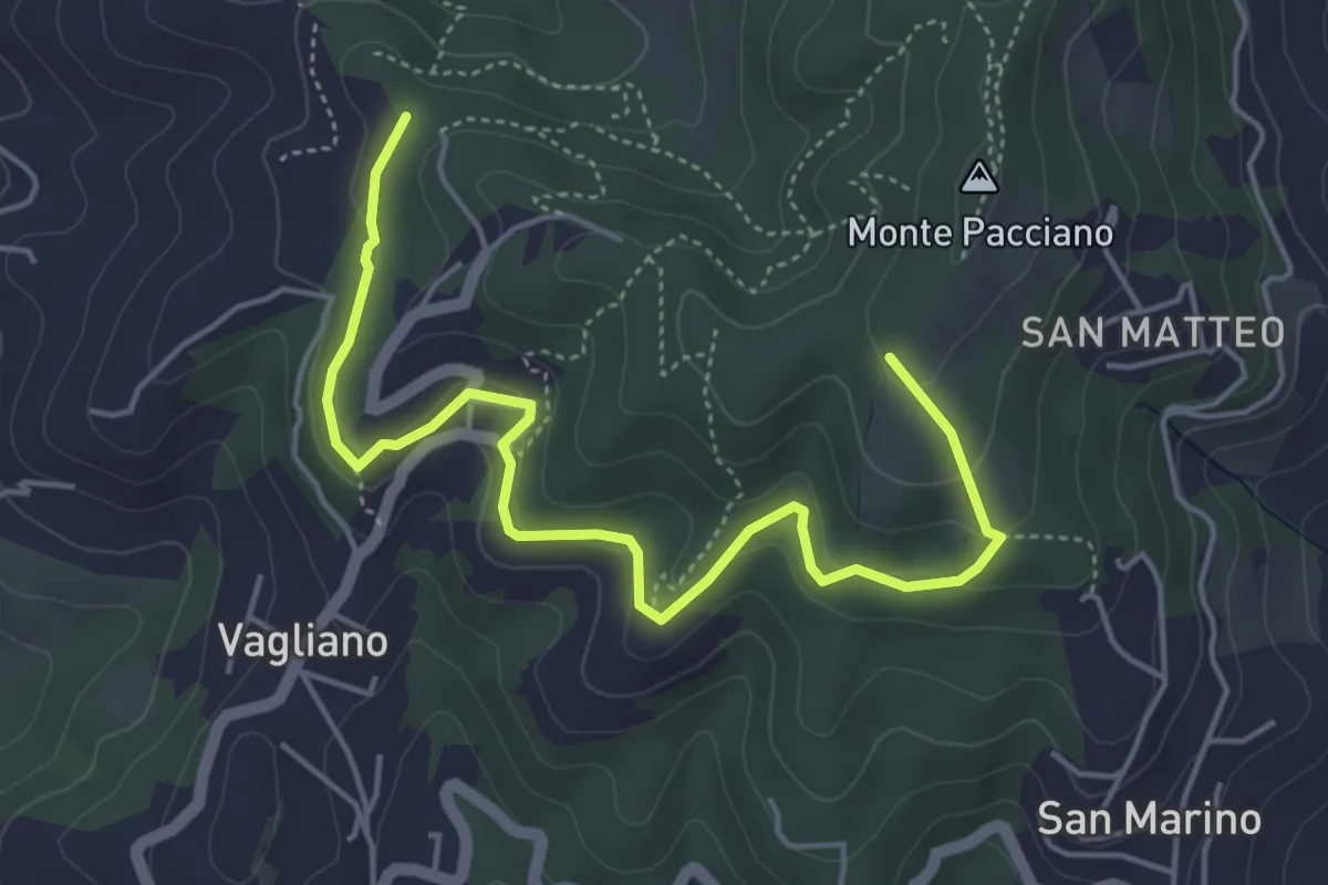
Easy · Trail
Conservone Nuovo – Percorso 943
5.8 km · ↑ 182 m · 1 h 46 min · 14 km away
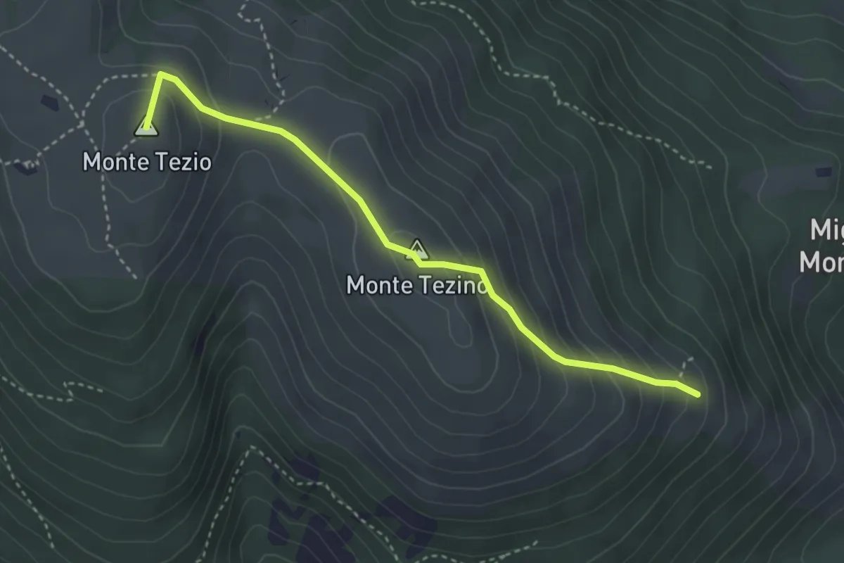
Medium · Summit
Monte Tezio Croce Fontenuova
3.8 km · ↑ 300 m · 1 h 32 min · 15 km away
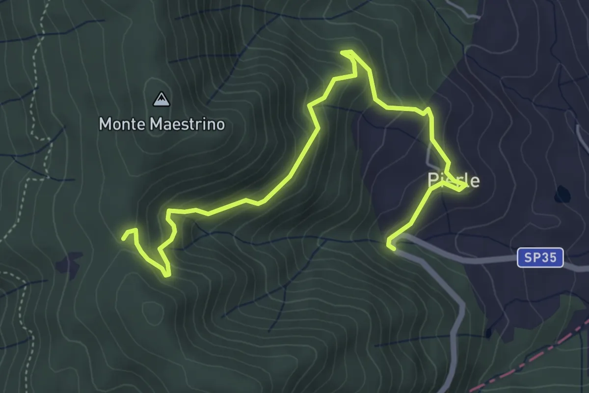
Medium · Trail
Sentiero 50 località Dancialena – SP 35 in Località Pierle
5.9 km · ↑ 361 m · 2 h 11 min · 15 km away
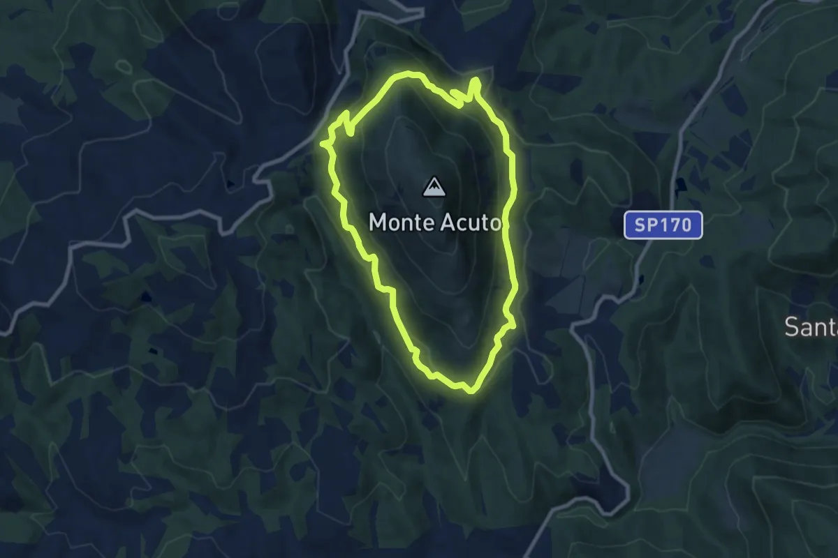
Medium · Trail
Anello di Monte Acuto
8.0 km · ↑ 429 m · 2 h 56 min · 15 km away
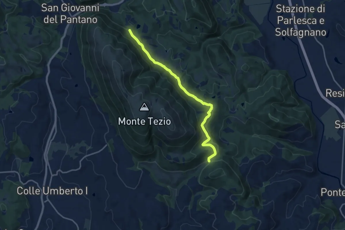
Medium · Trail
Monte Tezio - C. Pavia
11.7 km · ↑ 390 m · 3 h 37 min · 15 km away
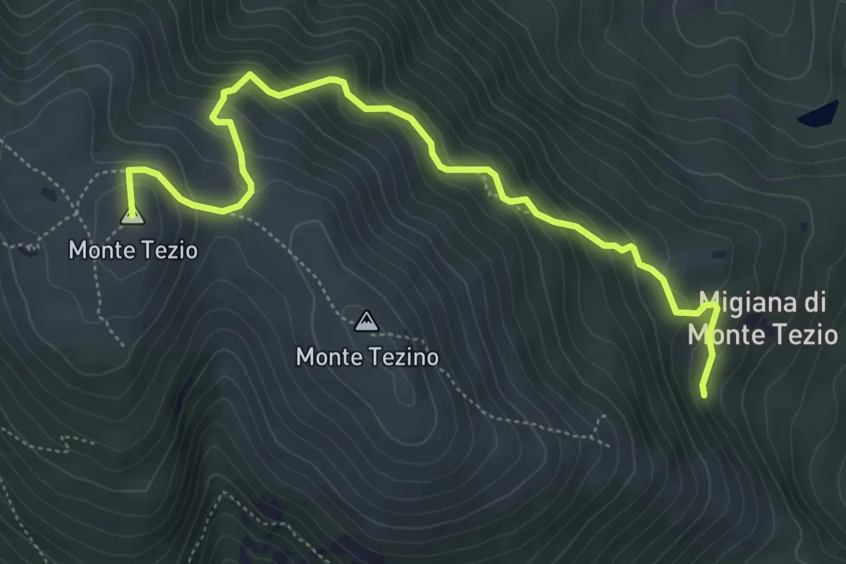
Medium · Summit
Monte Tezio Migiana
6.3 km · ↑ 448 m · 2 h 27 min · 15 km away