Trails near Maniago
62 hikes starting within 15 km, nearest first.
Nearest first, page 2 of 2
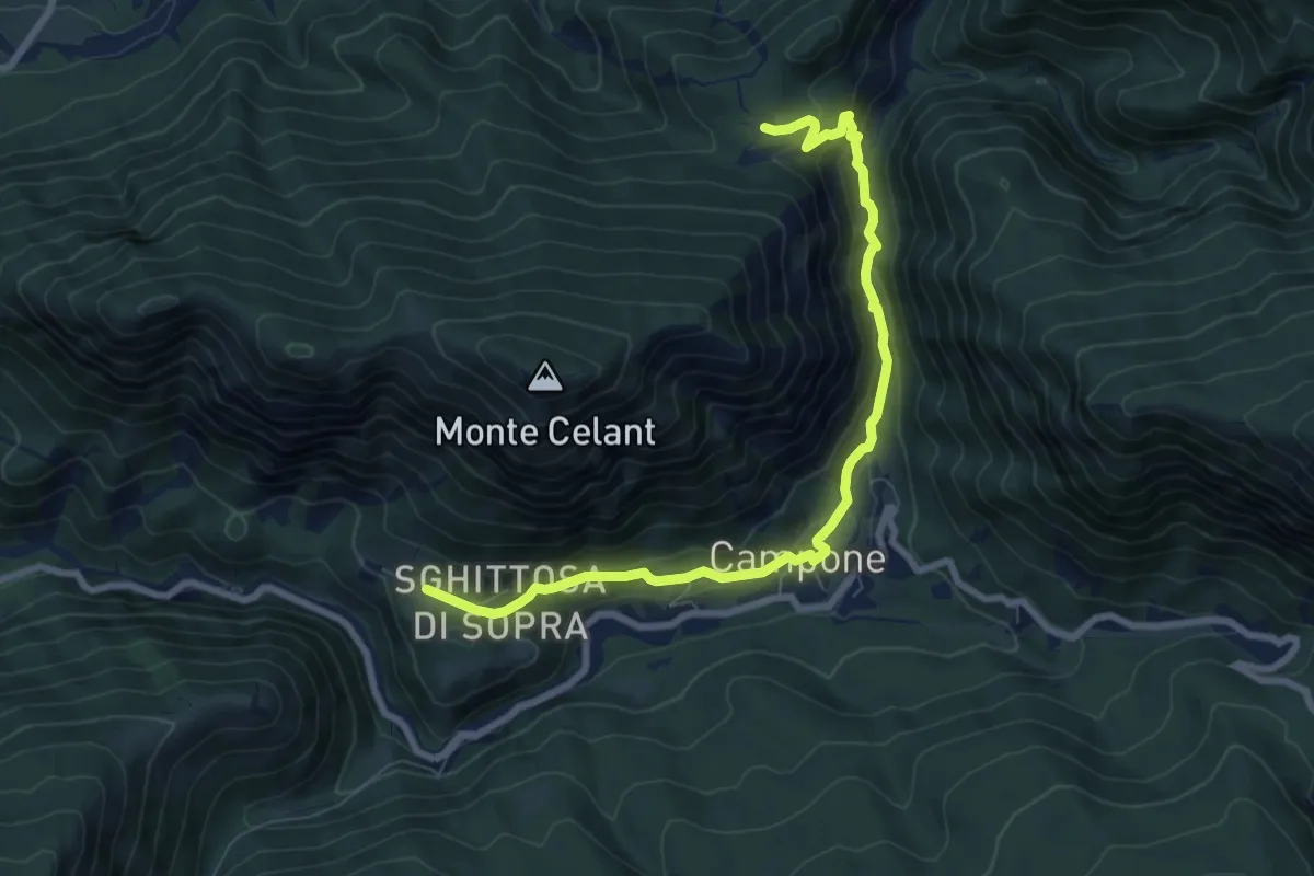
Demanding · Cabin
Loc. Zanon, bivio sent. n.832 (quota 517 m) – Tamar (quota 660 m)
8.4 km · ↑ 376 m · 2 h 47 min · 13 km away
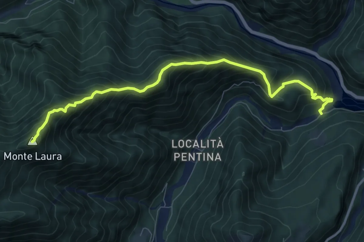
Demanding · Summit
Sentiero Emanuele Salvador
8.6 km · ↑ 901 m · 3 h 59 min · 13 km away
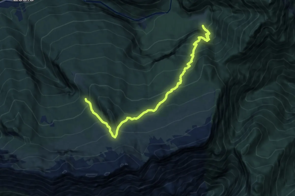
Demanding · Trail
Casera Casavento (quota 947 m) – Bivio sent. 960 (quota 1450 m)
10.9 km · ↑ 1096 m · 4 h 57 min · 14 km away
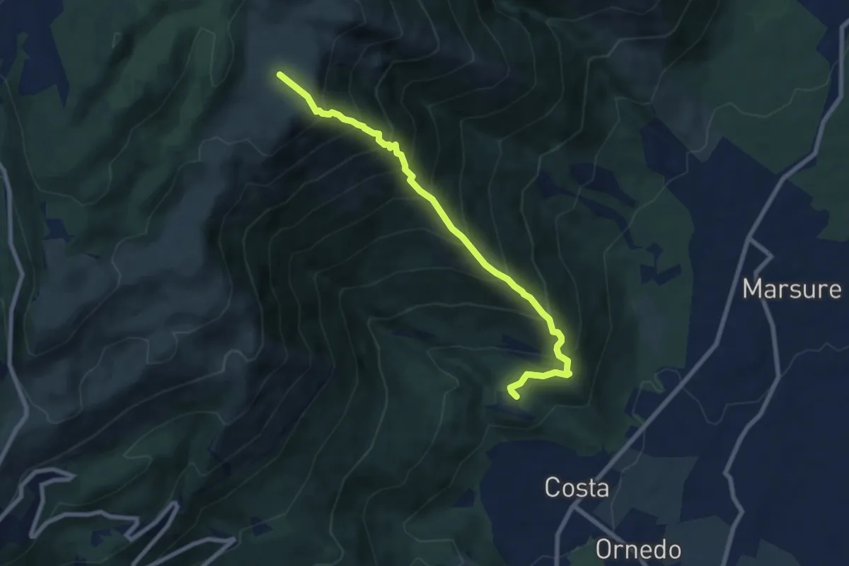
Demanding · Trail
Madonna del Monte – mt. 354 – Pradalto – mt. 1264
7.4 km · ↑ 912 m · 3 h 44 min · 14 km away
Demanding · Trail
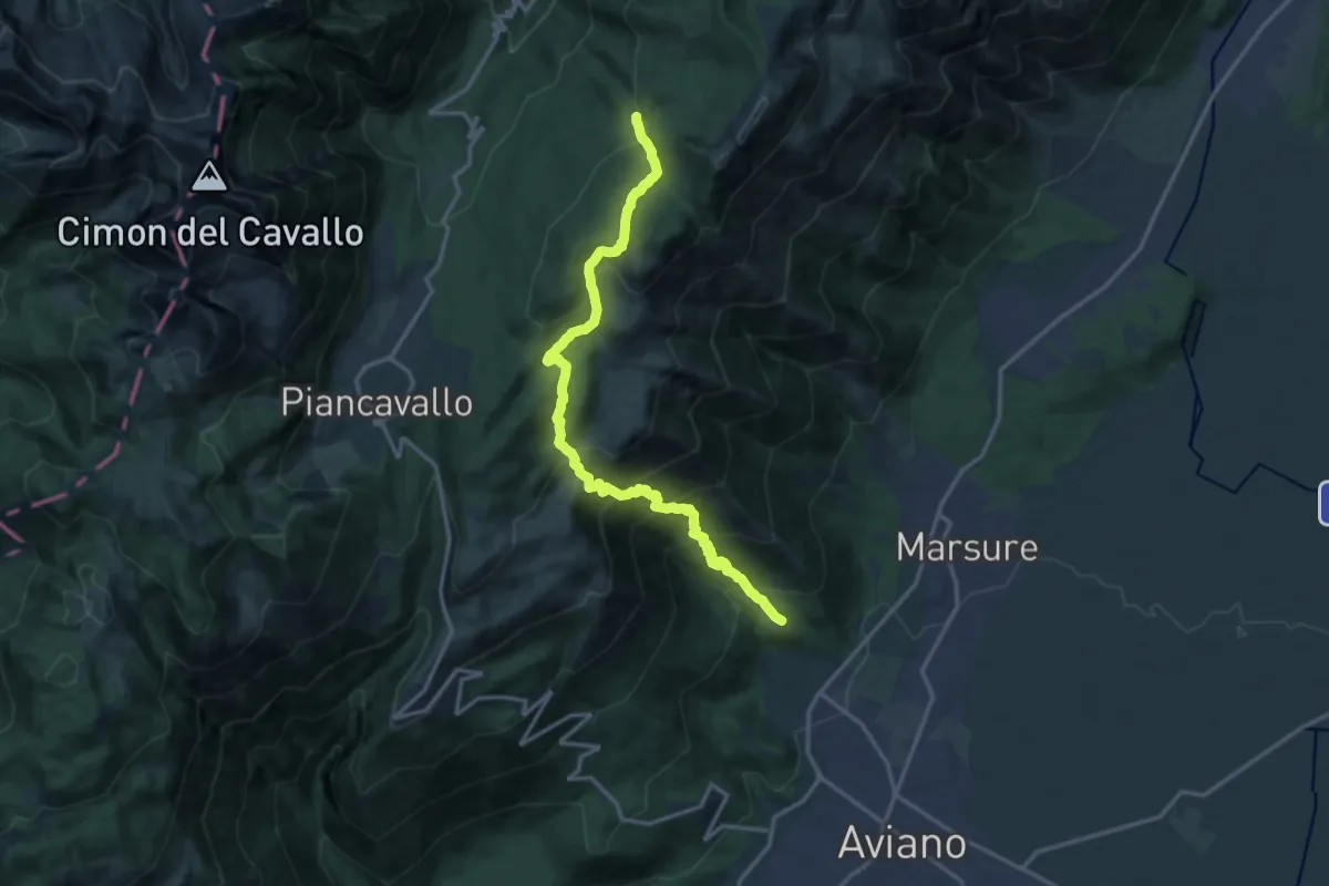
Aviano Madonna del Monte (quota 340 m) – Bivio sentiero n. 971 (quota 1380 m)
16.5 km · ↑ 1273 m · 6 h 39 min · 14 km away
Medium · Trail
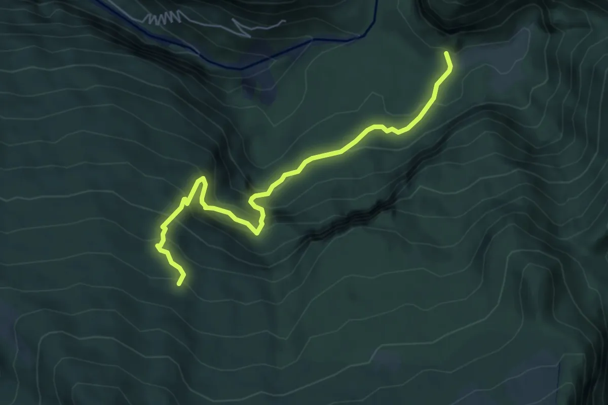
Casera Casavento (quota 930 m) – Bivio sentiero n. 960 (quota 1350 m)
5.9 km · ↑ 507 m · 2 h 29 min · 14 km away
Medium · Trail
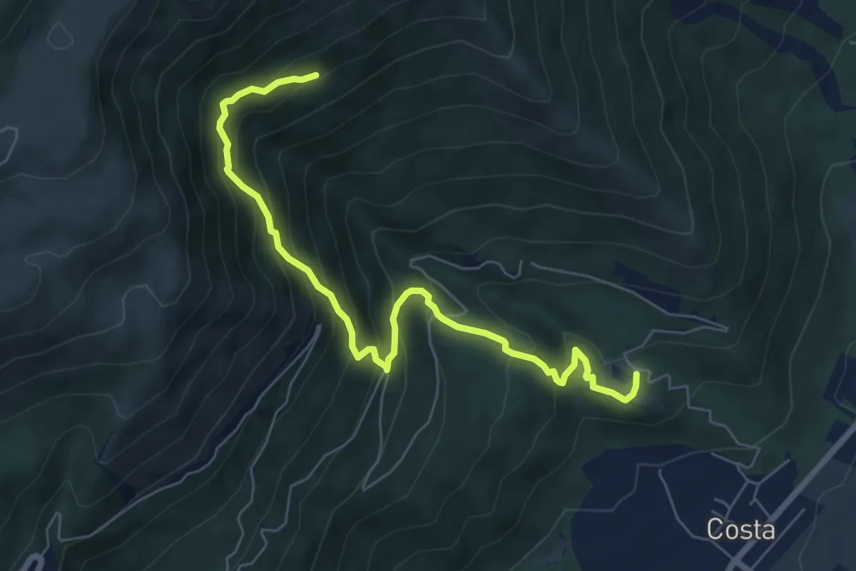
Sentiero Val D'Aga
7.0 km · ↑ 629 m · 3 h 1 min · 14 km away
Medium · Cabin
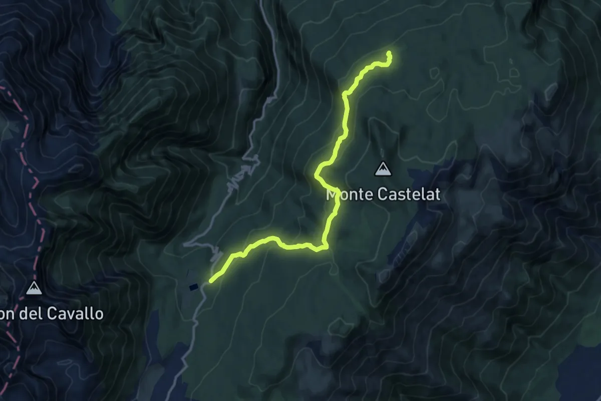
Pian delle More (quota 1177 m) – Casera Montelonga (quota 1327 m)
12.0 km · ↑ 504 m · 3 h 56 min · 14 km away
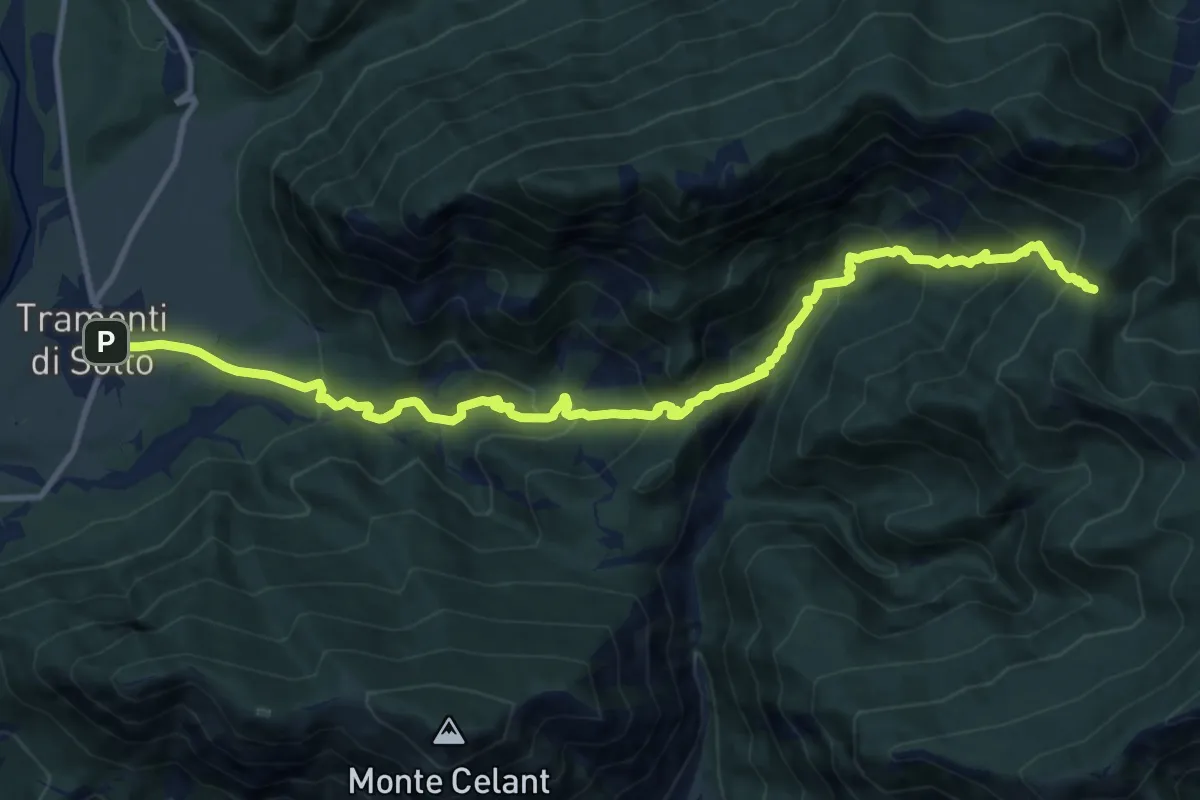
Demanding · Trail
Tramonti di Sotto (quota 366 m) – Forchia de Agardaia (quota 1039 m)
13.3 km · ↑ 962 m · 5 h 13 min · 14 km away
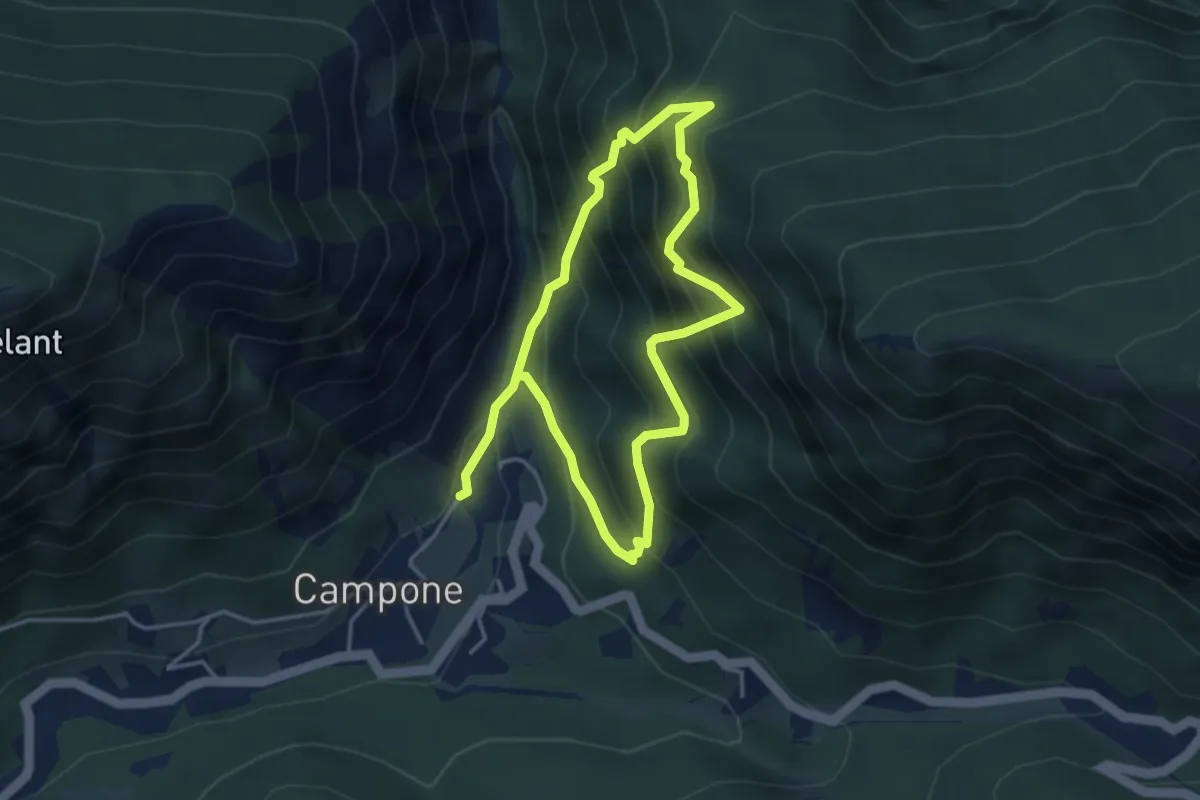
Demanding · Trail
Sentiero partigiano delle Stalle di Cor
6.7 km · ↑ 806 m · 3 h 19 min · 14 km away
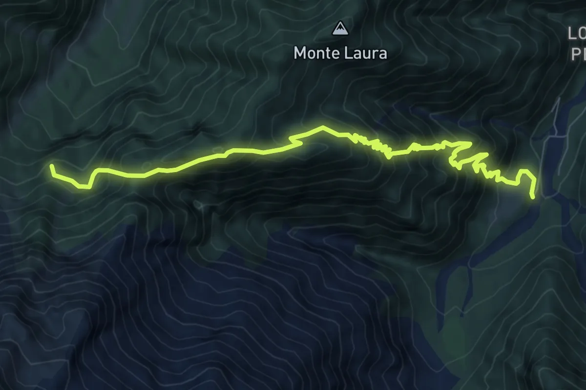
Demanding · Summit
Casa Nest (quota 490 m) – Palazzo Prescudin (quota 640 m)
10.2 km · ↑ 1195 m · 5 h · 14 km away
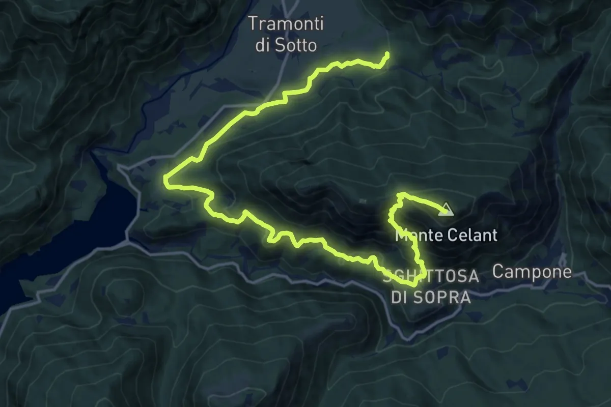
Demanding · Summit
Guado torrente Tarcenò (quota 415 m) – Casa Comesta, innesto 831a (quota 370 m)
18.9 km · ↑ 1141 m · 6 h 56 min · 15 km away
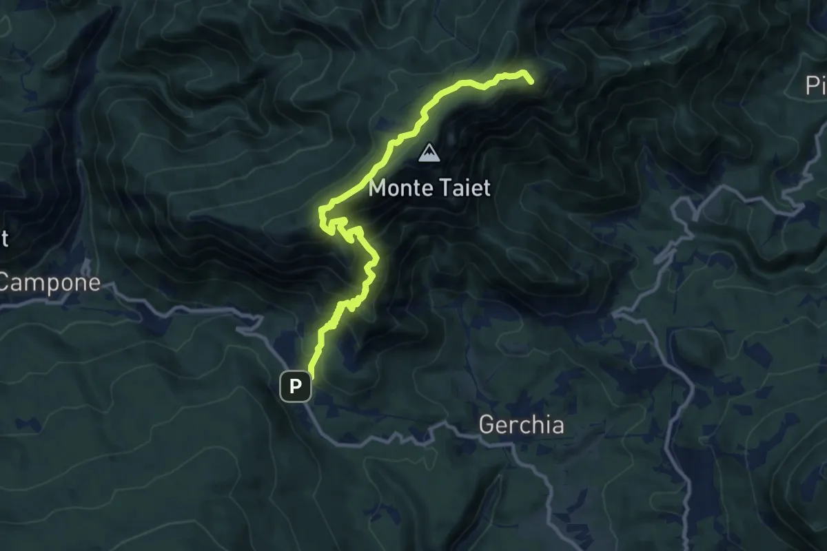
Demanding · Summit
Piani di Gerchia (quota 670 m) – La Forchiazza (bivio 821) (quota 1000 m)
11.7 km · ↑ 1011 m · 4 h 57 min · 15 km away
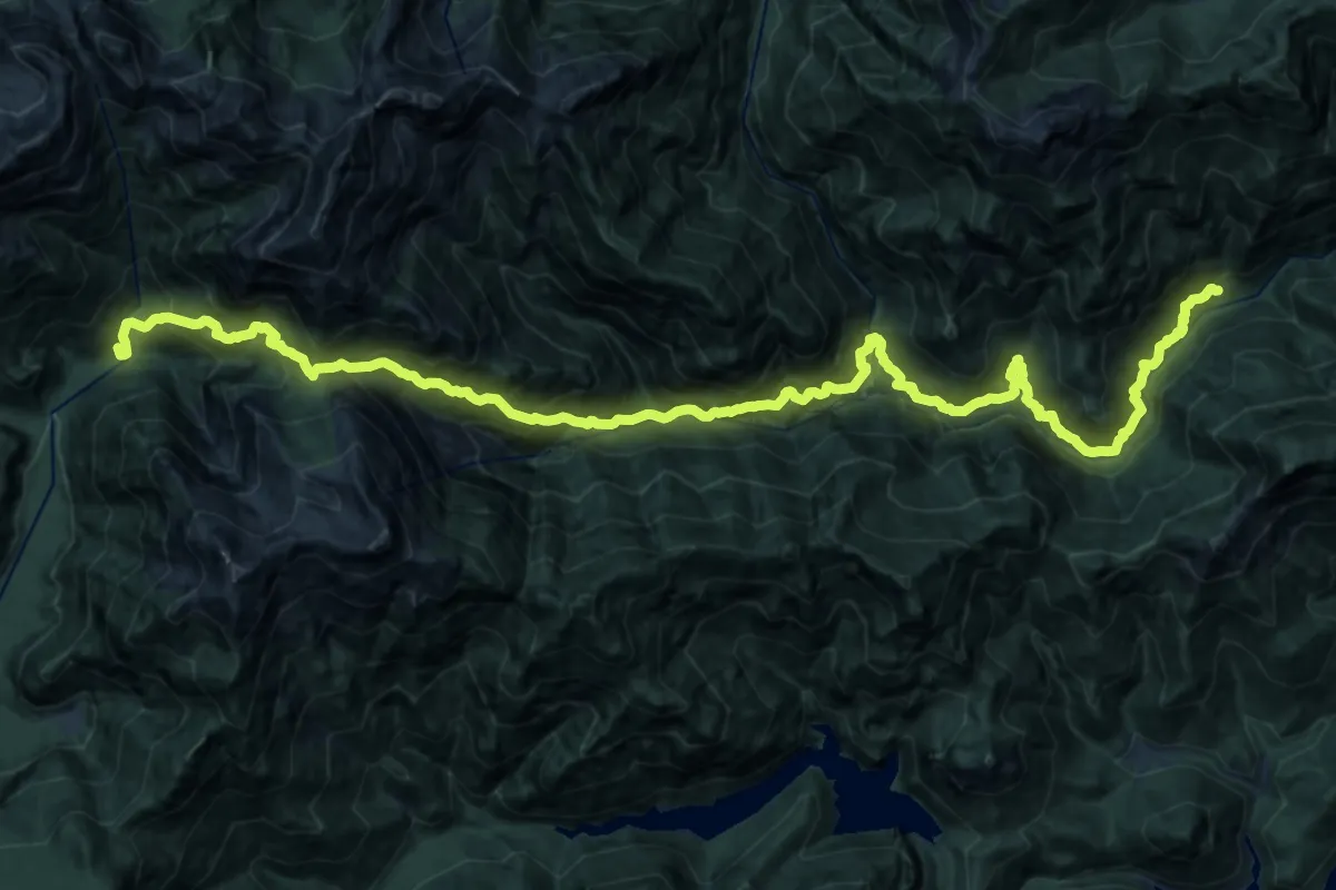
Demanding · Cabin
Frasseneit di Sotto (quota 525 m) – Casera Podestine (quota 1024 m)
14.6 km · ↑ 1629 m · 6 h 57 min · 15 km away