Trails near Mariano Comense
68 hikes starting within 15 km, nearest first.
Nearest first, page 2 of 2
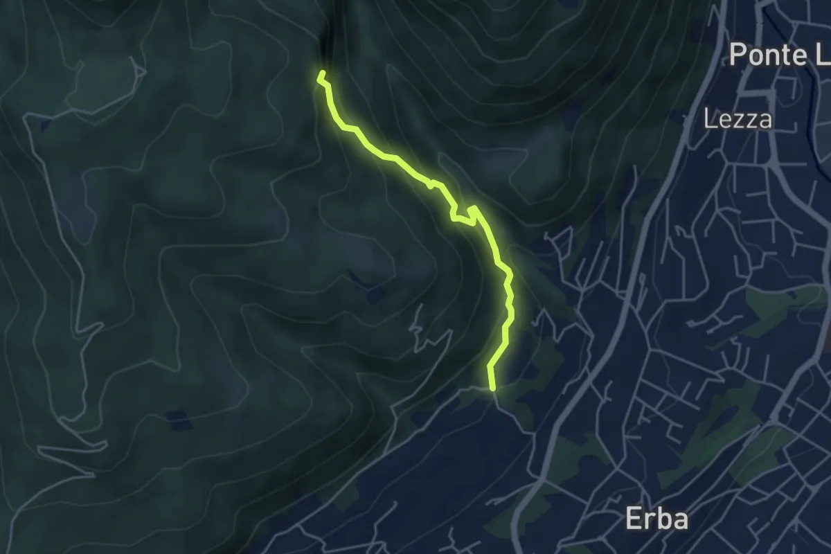
Demanding · Trail
C.na Ginocchio – Buco del Piombo
3.7 km · ↑ 335 m · 1 h 36 min · 13 km away
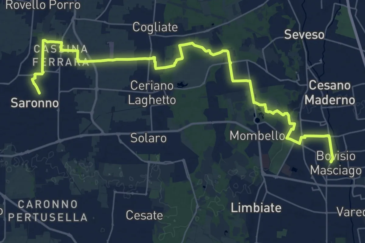
Demanding · Trail
Cammino Montiano
30.9 km · ↑ 93 m · 7 h 30 min · 13 km away
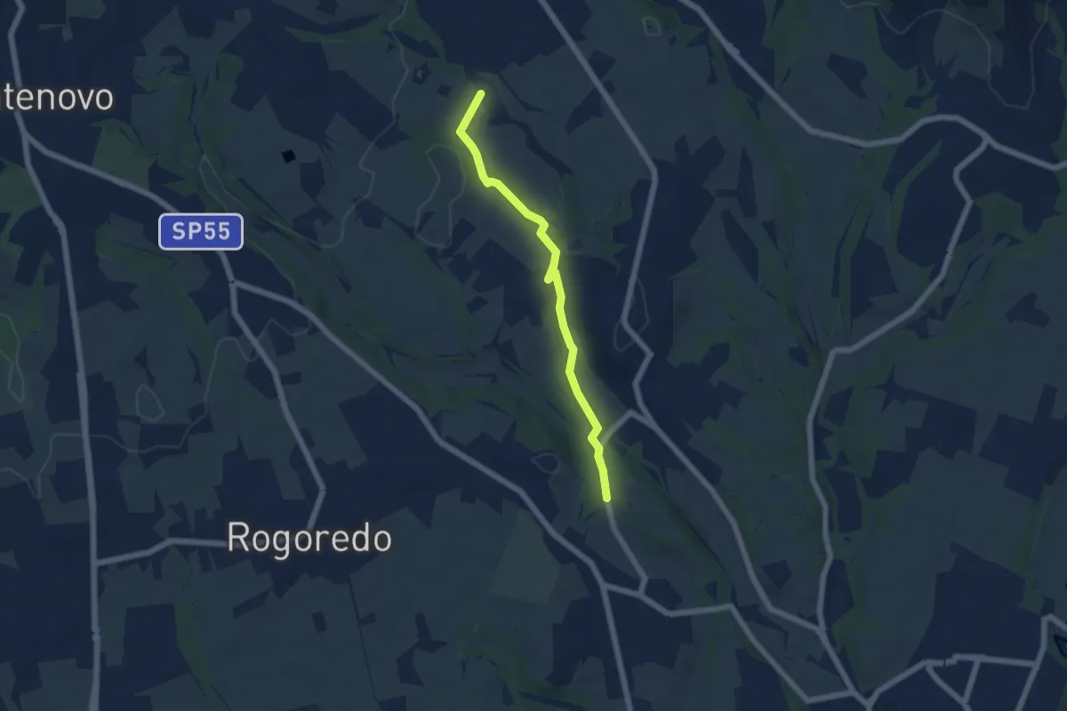
Easy · Trail
Campù Inferiore – Valaperta
5.1 km · ↑ 37 m · 1 h 17 min · 14 km away
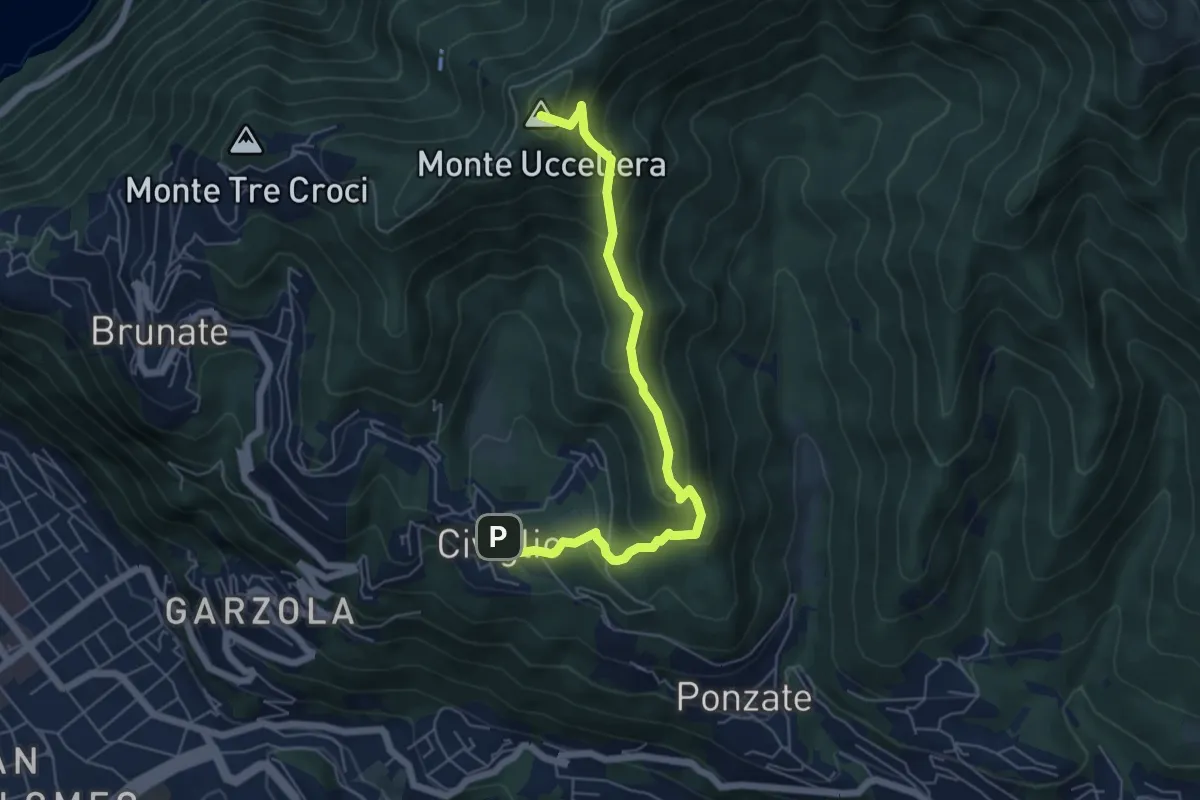
Medium · Summit
Civiglio – CAO
6.1 km · ↑ 379 m · 2 h 15 min · 14 km away
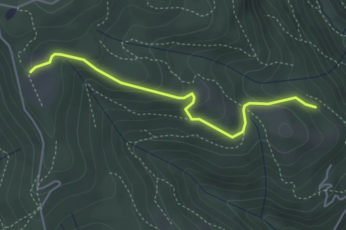
Easy · Trail
Cardögia – Ex Albergo la Salute
3.5 km · ↑ 186 m · 1 h 14 min · 14 km away
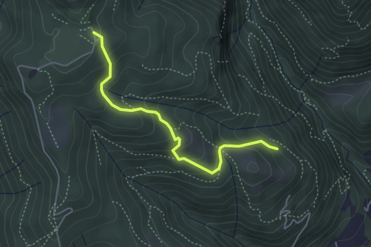
Medium · Trail
Cardögia – Alpe del Vicerè
3.8 km · ↑ 238 m · 1 h 25 min · 14 km away
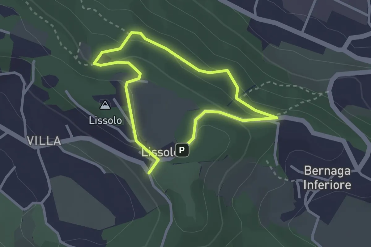
Easy · Summit
Sentiero dei Proverbi
2.0 km · ↑ 74 m · 39 min · 14 km away
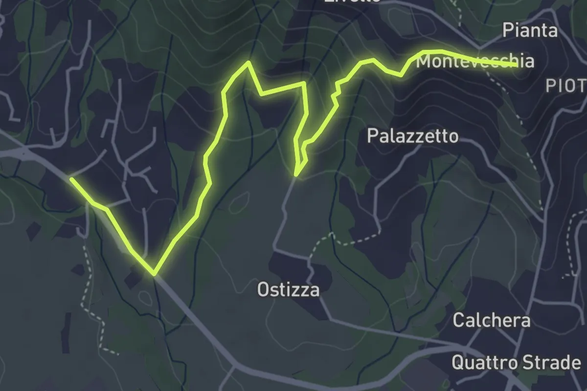
Medium · Summit
Lomaniga – Beolco
5.8 km · ↑ 304 m · 2 h 2 min · 14 km away
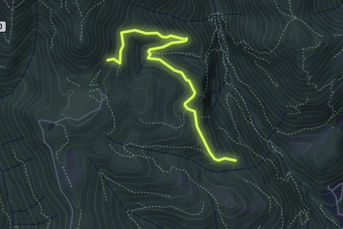
Medium · Trail
Praa Sciresöö – Rifugio Cacciatori
4.8 km · ↑ 479 m · 2 h 10 min · 14 km away
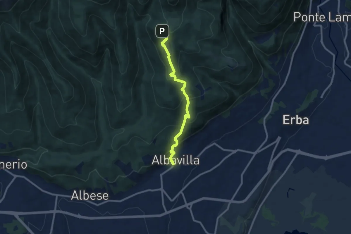
Medium · Trail
Sentiero degli Alpini
6.5 km · ↑ 474 m · 2 h 33 min · 14 km away
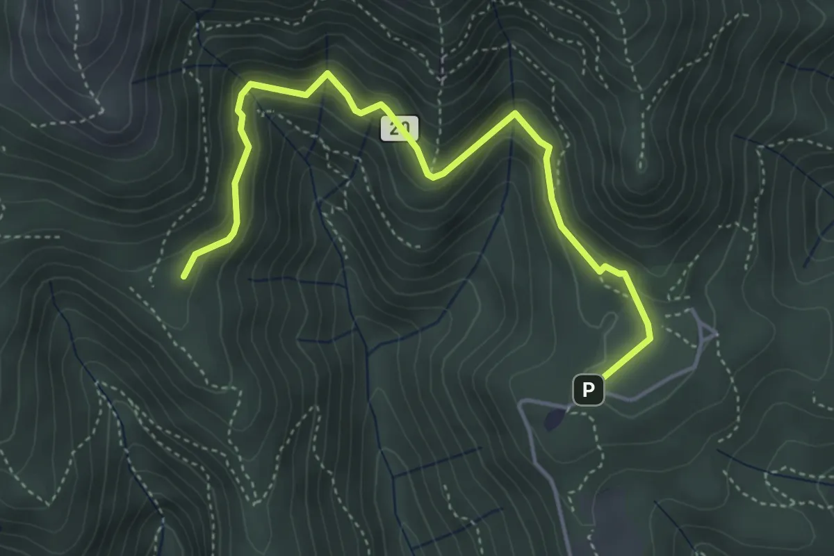
Medium · Trail
Sentiero 20: Alpe del Viceré - Baita Patrizi
4.8 km · ↑ 275 m · 1 h 44 min · 14 km away
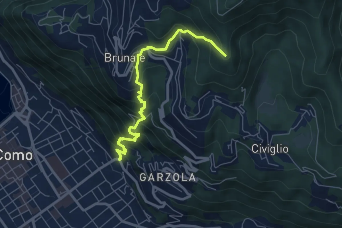
Medium · Summit
Santa Croce – CAO
5.6 km · ↑ 596 m · 2 h 36 min · 14 km away
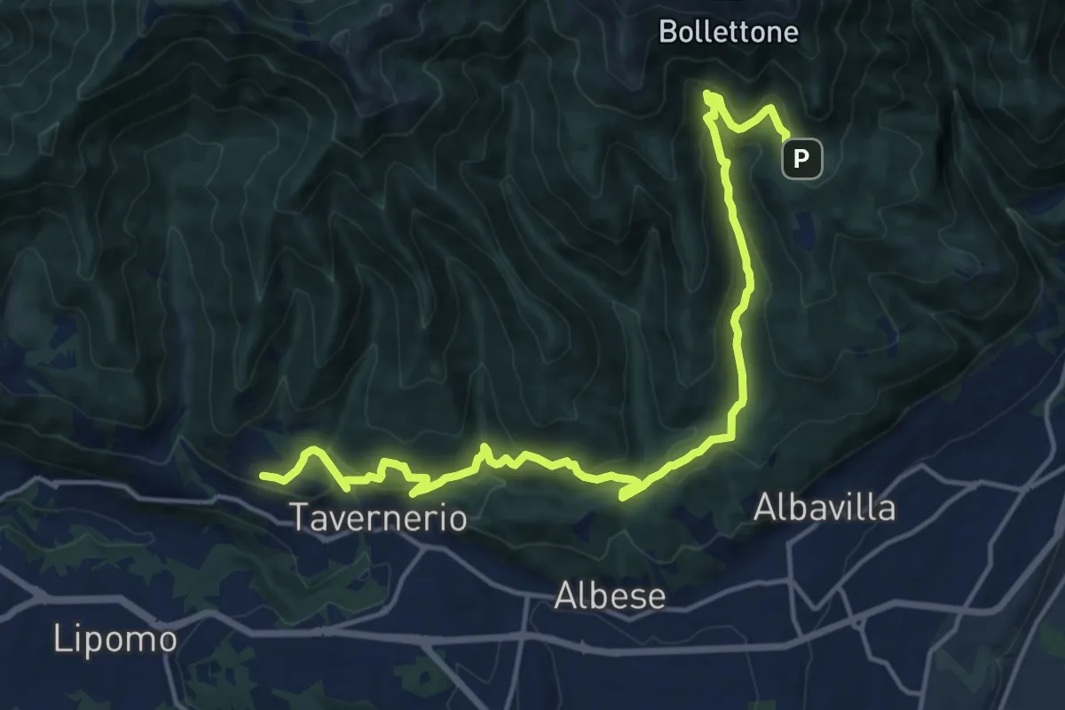
Demanding · Trail
Caslascio (Tavernerio) – Alpe del Vicerè
17.7 km · ↑ 819 m · 5 h 57 min · 14 km away
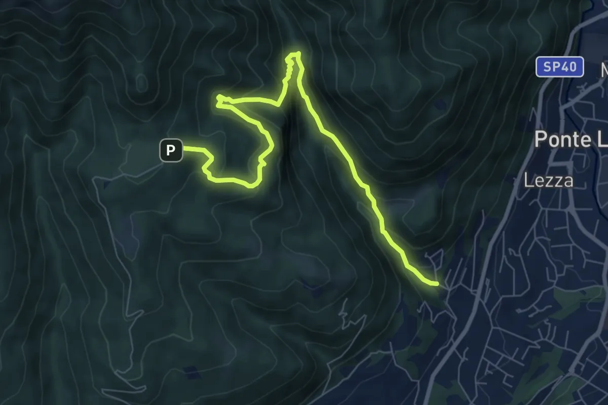
Demanding · Trail
Ca Nova – Alpe Vicerè
8.5 km · ↑ 602 m · 3 h 18 min · 14 km away
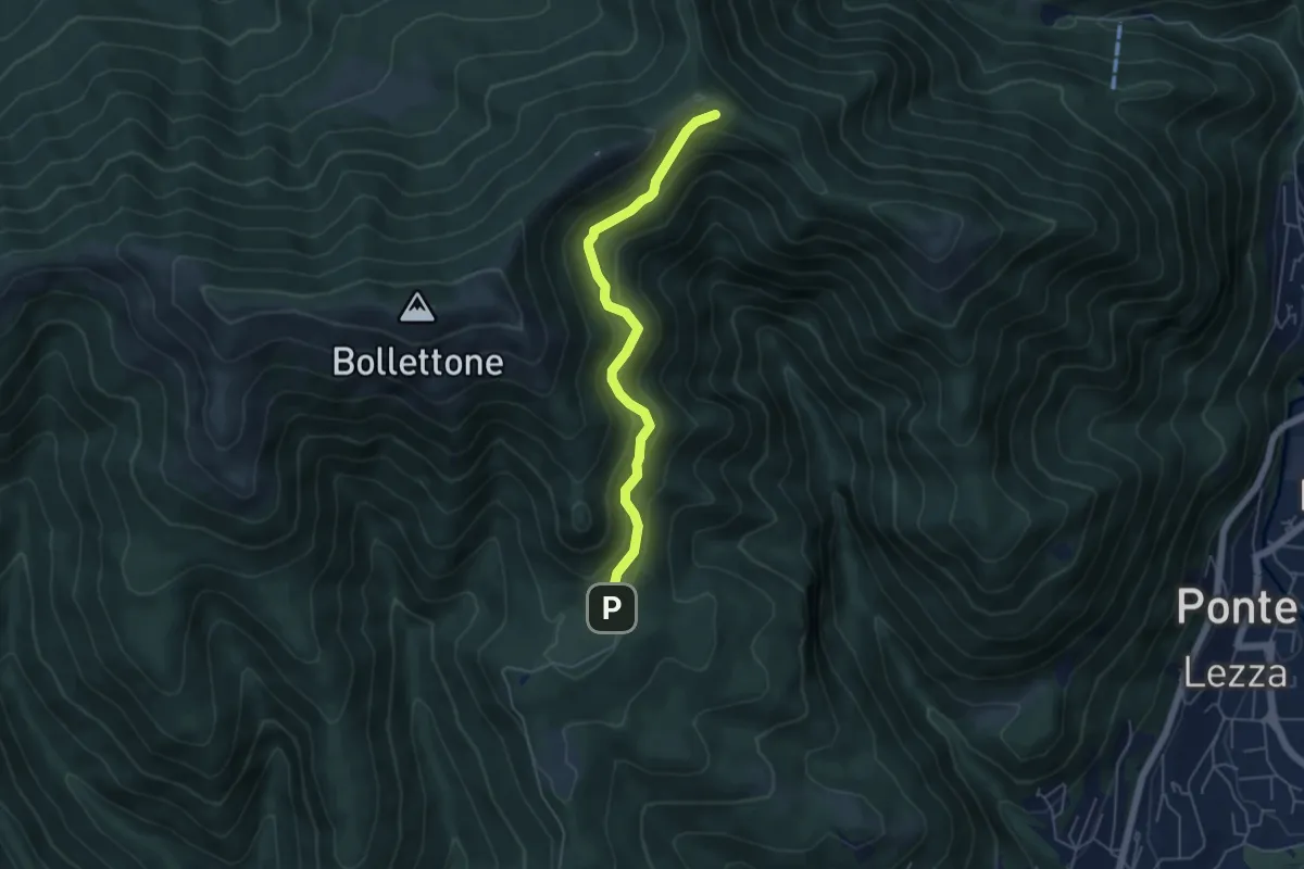
Easy · Cabin
Sentiero 23: Alpe del Vicerè - Rifugio Cacciatori - Capanna Mara
4.9 km · ↑ 303 m · 1 h 48 min · 14 km away
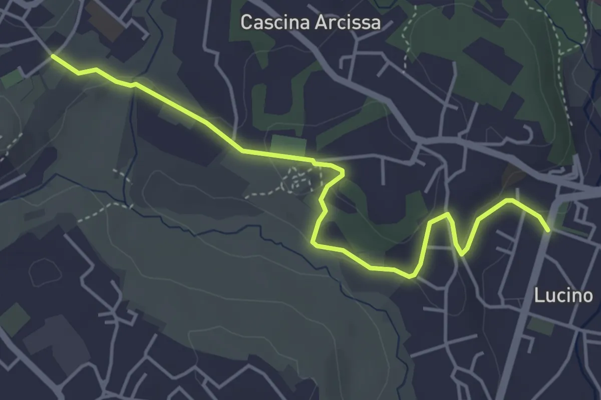
Easy · Trail
Montano Lucino cimitero – Montano Lucino loc. Trivino
4.7 km · ↑ 95 m · 1 h 19 min · 14 km away
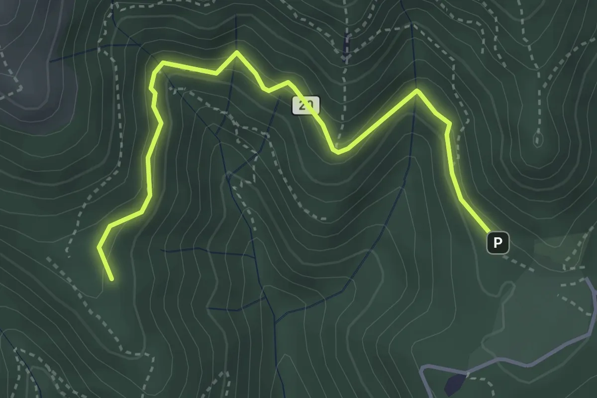
Medium · Trail
Alpe del Vicerè – Baita Patrizi
4.1 km · ↑ 256 m · 1 h 31 min · 14 km away
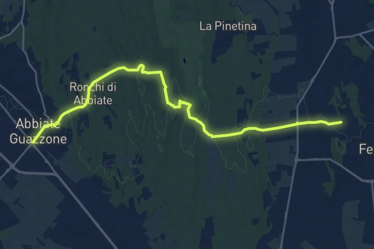
Medium · Trail
Sentiero 844
14.8 km · ↑ 205 m · 3 h 57 min · 15 km away
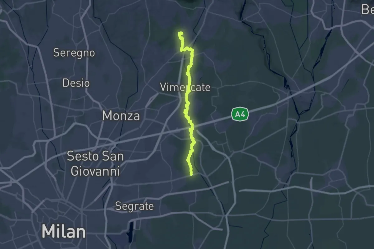
Demanding · Trail
Bussero (Cascina Gogna) – Lomagna (Fornace)
23.1 km · ↑ 53 m · 5 h 56 min · 15 km away
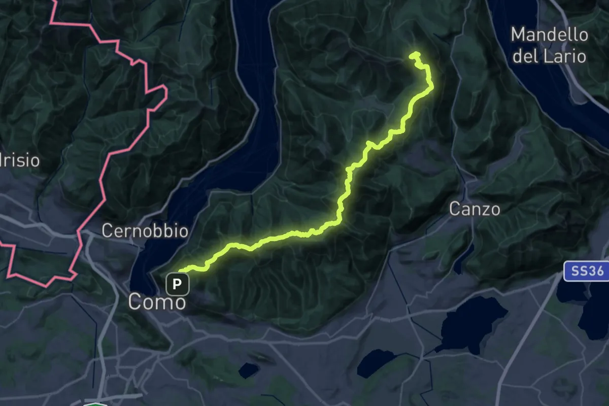
Demanding · Summit
Dorsale del Triangolo Lariano
44.3 km · ↑ 2300 m · 15 h 26 min · 15 km away