Trails near Marigliano
29 hikes starting within 15 km, nearest first.
Nearest first
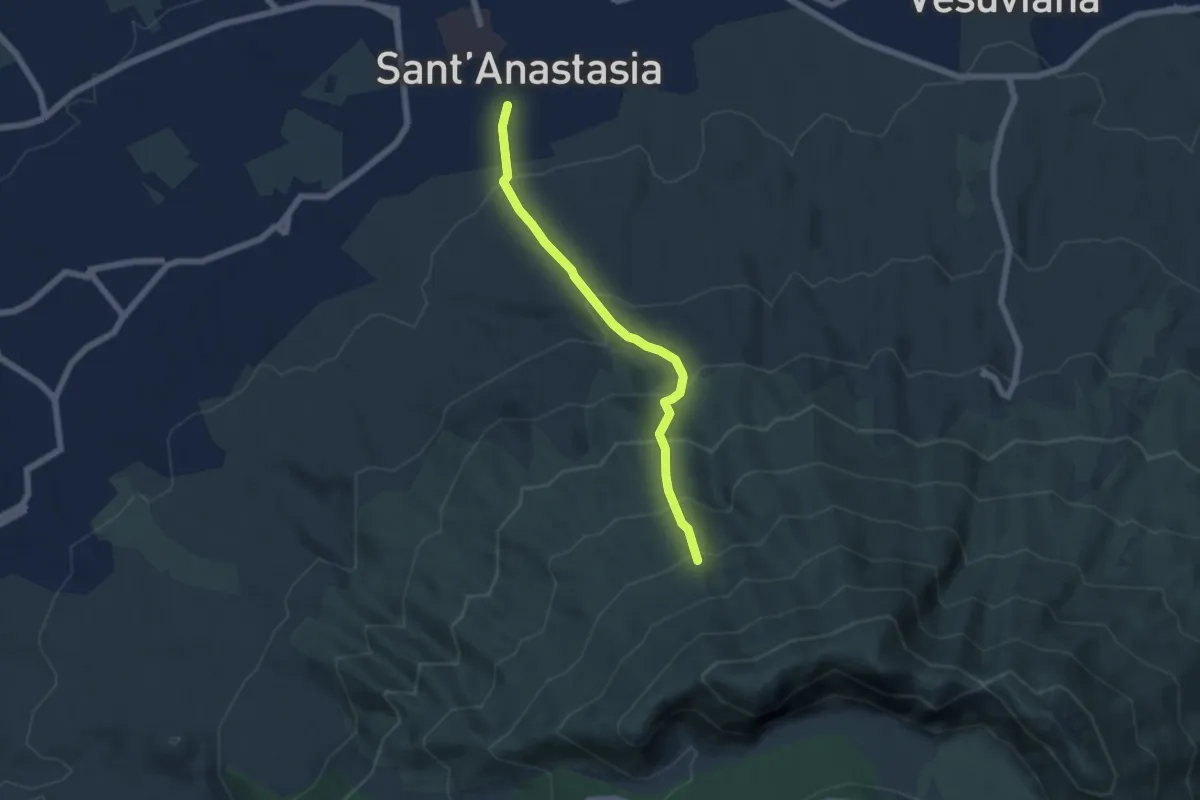
Medium · Trail
Sentiero 10: Sorgenti dell'Olivella
6.0 km · ↑ 542 m · 2 h 36 min · 8 km away
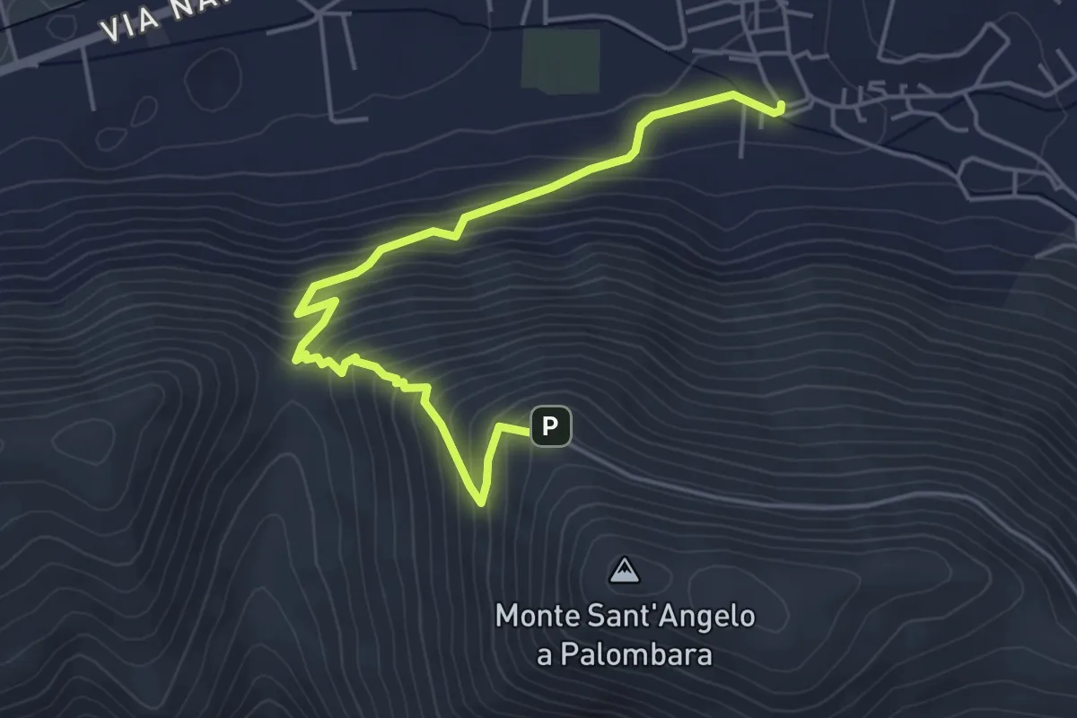
Medium · Trail
San Felice a Cancello – Sant'Angelo a Palombara - Intersezione GTP
5.8 km · ↑ 446 m · 2 h 20 min · 9 km away
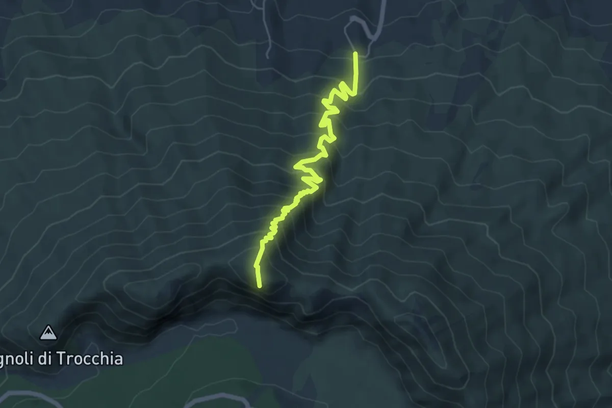
Demanding · Summit
Sentiero 3: Il Monte Somma
5.9 km · ↑ 672 m · 2 h 51 min · 9 km away
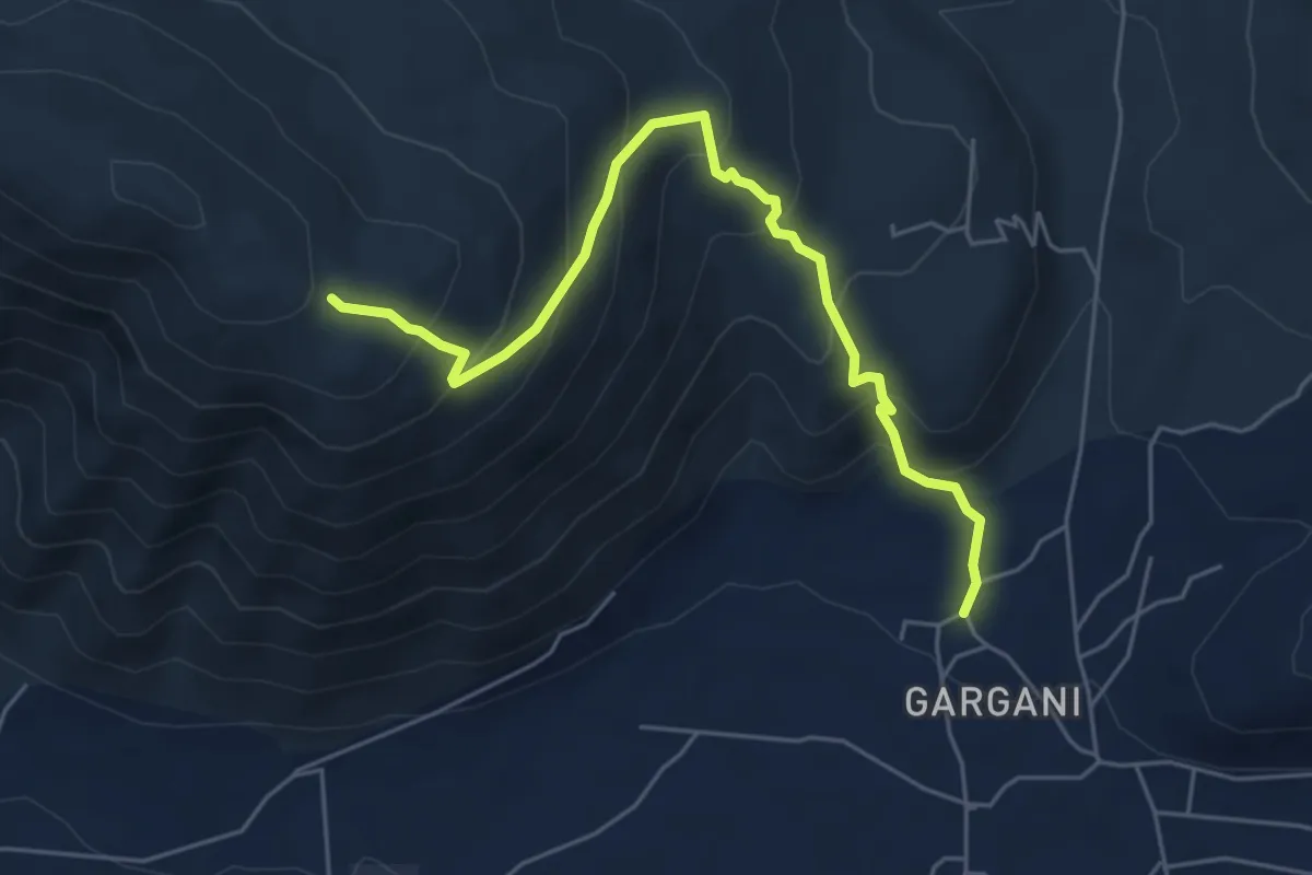
Medium · Trail
Roccarainola (Sasso) – Monte Fellino (intersezione 200AA)
6.3 km · ↑ 478 m · 2 h 31 min · 9 km away
Demanding · Trail
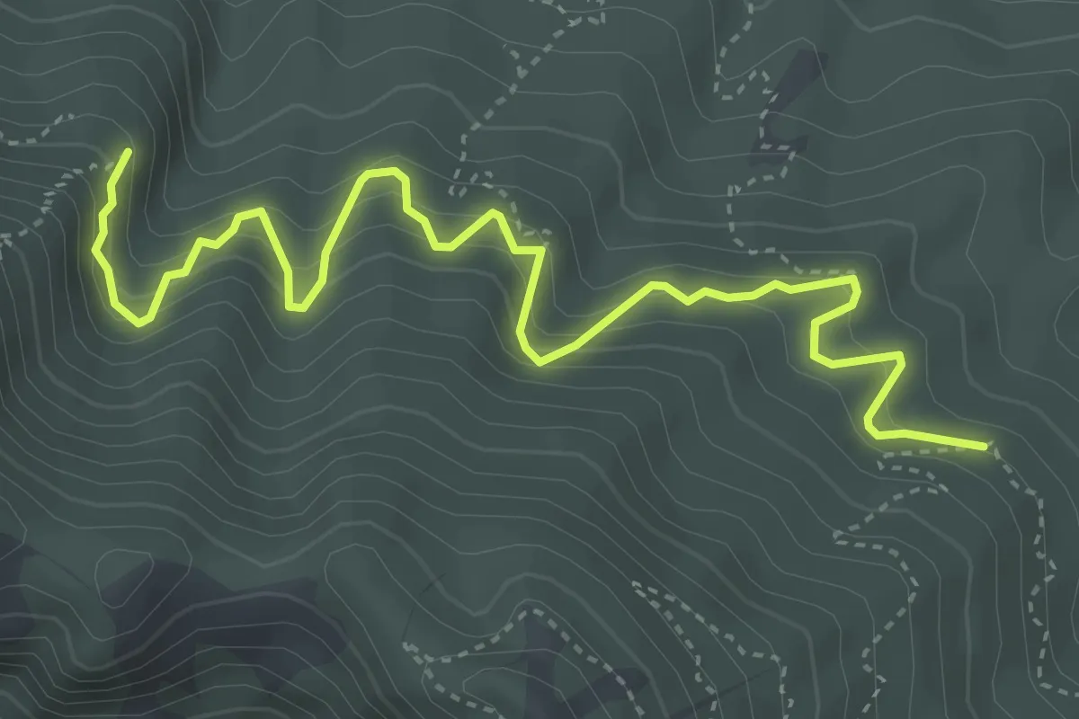
Sentiero 15
5.4 km · ↑ 563 m · 2 h 30 min · 9 km away
Medium · Trail
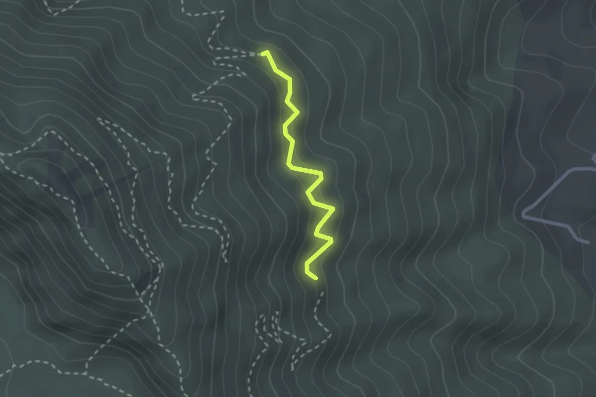
L
2.1 km · ↑ 203 m · 57 min · 10 km away
Medium · Summit
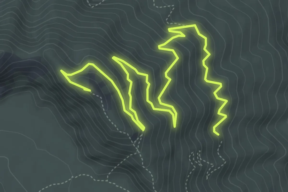
Sentiero 2: Lungo i Cognoli
9.4 km · ↑ 657 m · 3 h 38 min · 10 km away
Medium · Trail
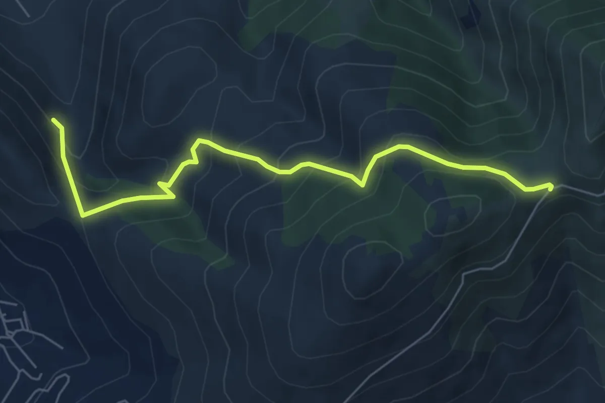
Sentiero dei pascoli
6.6 km · ↑ 498 m · 2 h 38 min · 11 km away
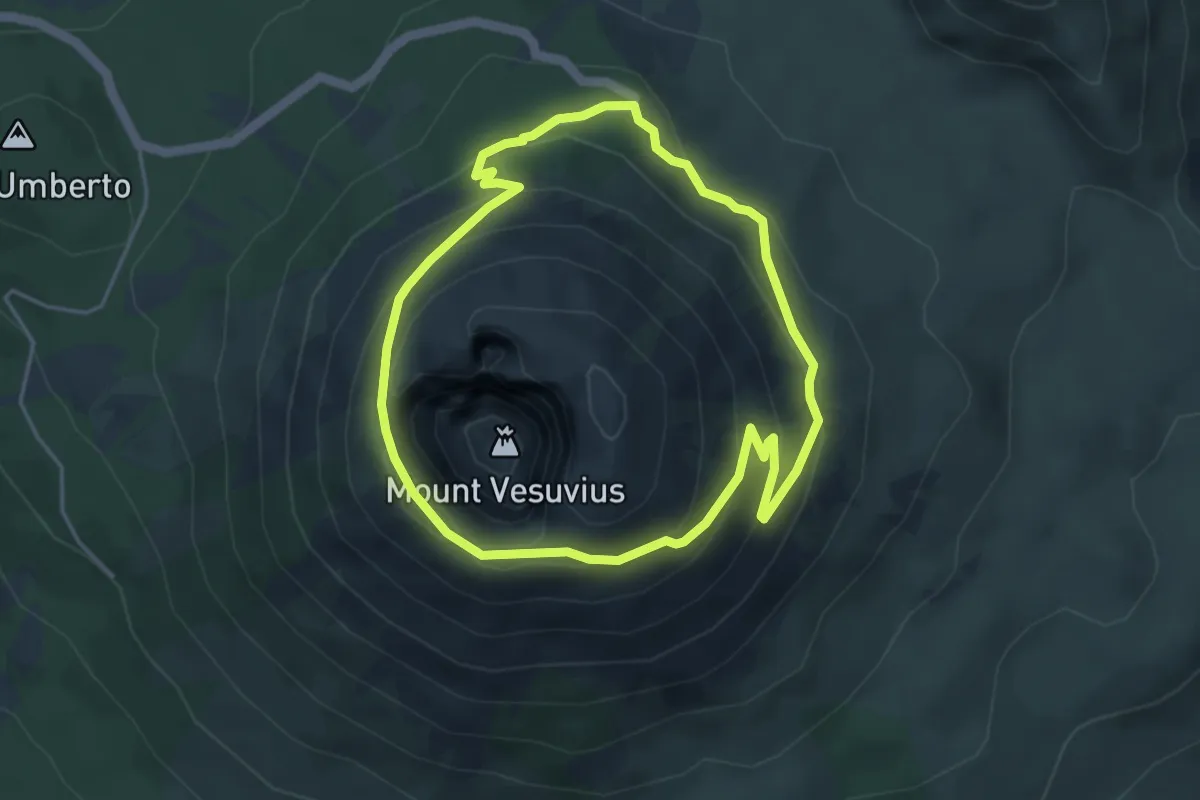
Demanding · Trail
Sentiero 5: Il Gran Cono
4.4 km · ↑ 243 m · 1 h 38 min · 11 km away
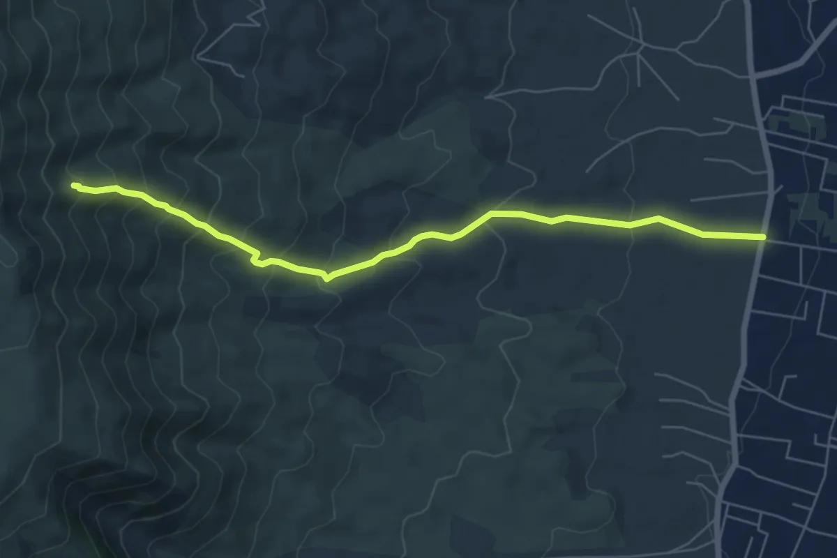
Medium · Trail
Sentiero 7: Il Vallone della Profica
6.8 km · ↑ 549 m · 2 h 48 min · 11 km away
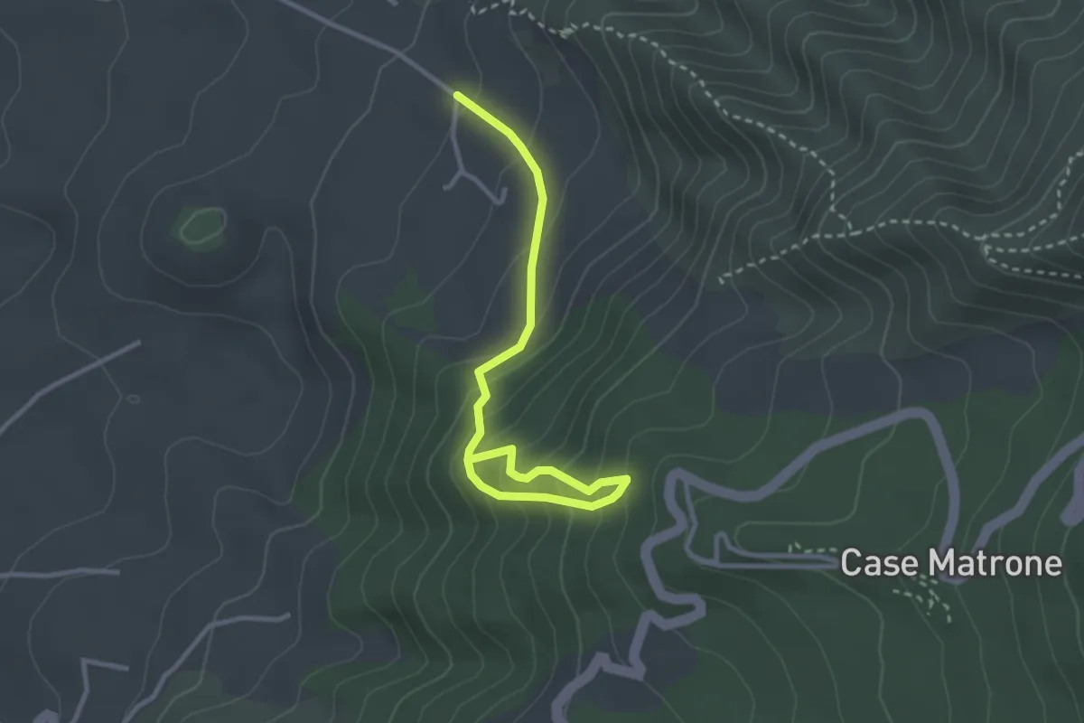
Medium · Trail
Sentiero 8: Il Trenino a Cremagliera
3.6 km · ↑ 340 m · 1 h 35 min · 11 km away
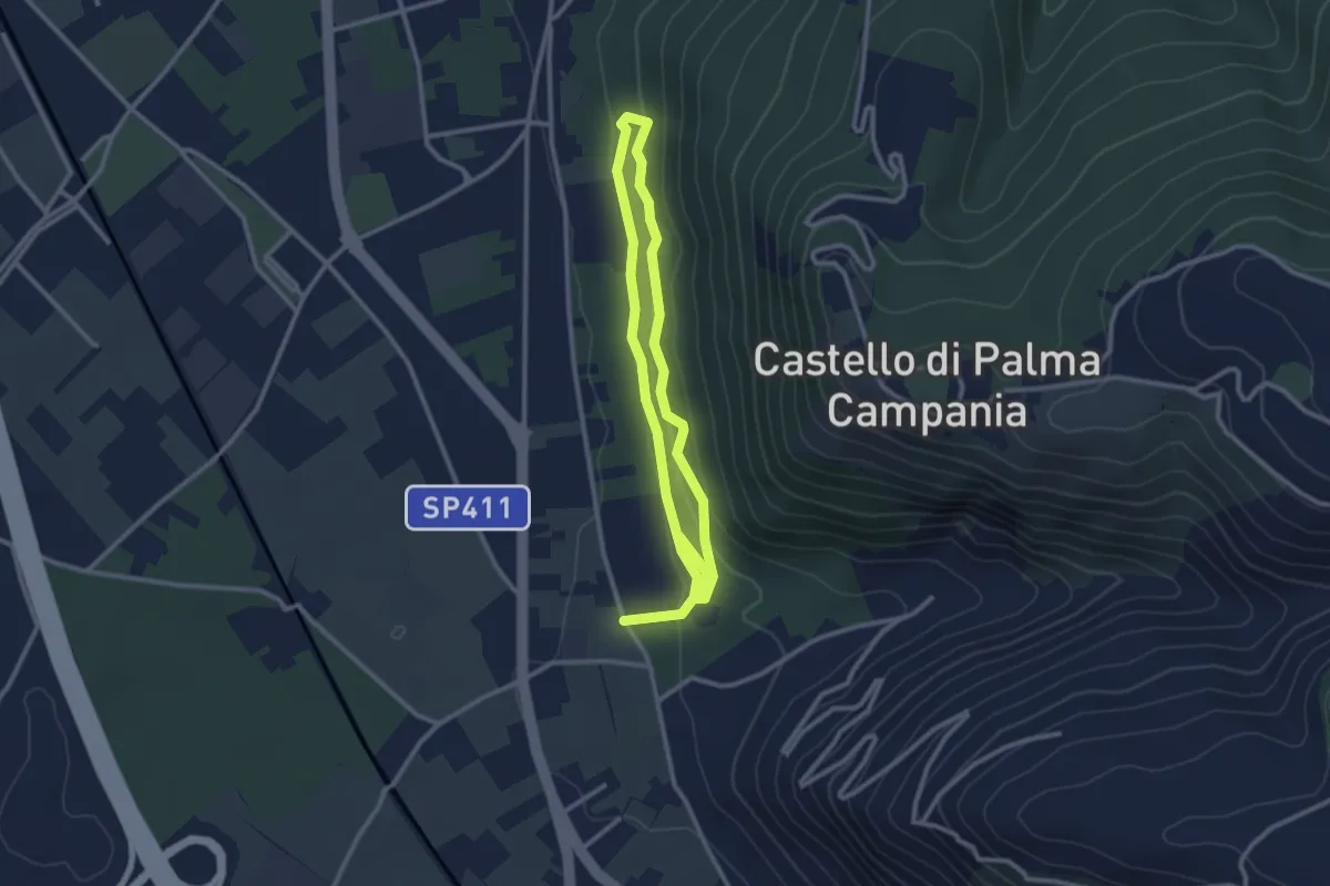
Easy · Trail
Bosco Crocelle
5.2 km · ↑ 115 m · 1 h 28 min · 12 km away
Medium · Trail
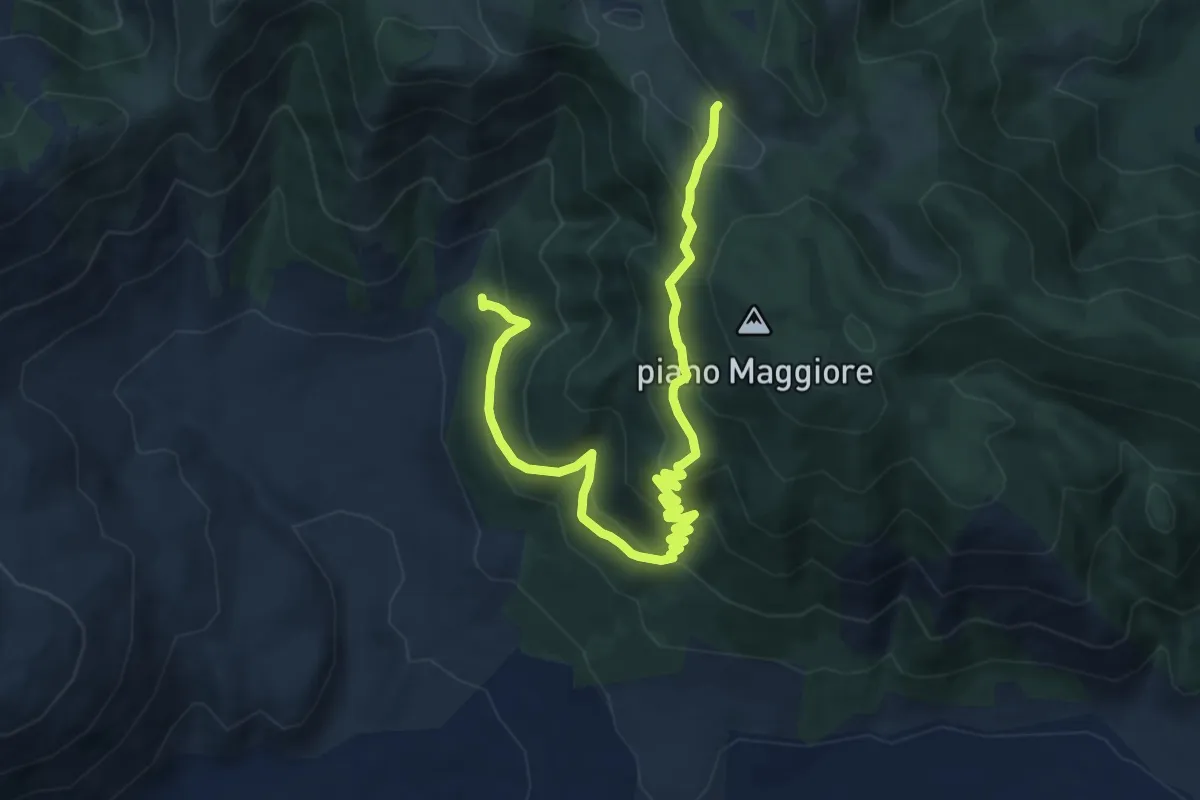
Foresta di Roccarainola (vivaio) – Piano del Pozzo
11.9 km · ↑ 706 m · 4 h 21 min · 12 km away
Medium · Summit
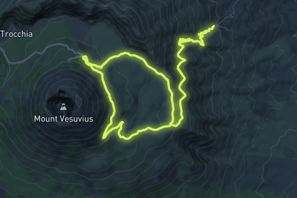
Sentiero 1: La Valle dell'Inferno
9.5 km · ↑ 399 m · 3 h 22 min · 12 km away
Easy · Trail
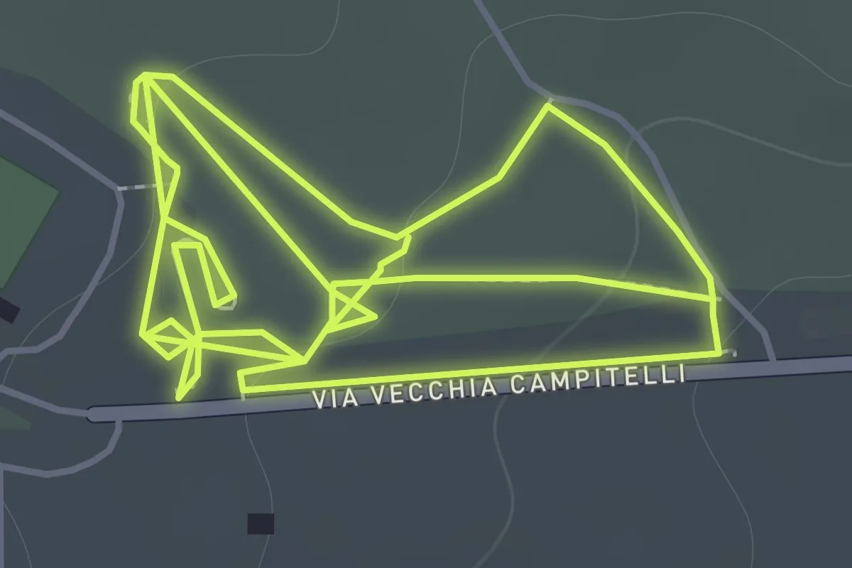
Sentiero 11: La Pineta Di Terzigno
2.1 km · ↑ 31 m · 36 min · 12 km away
Easy · Trail
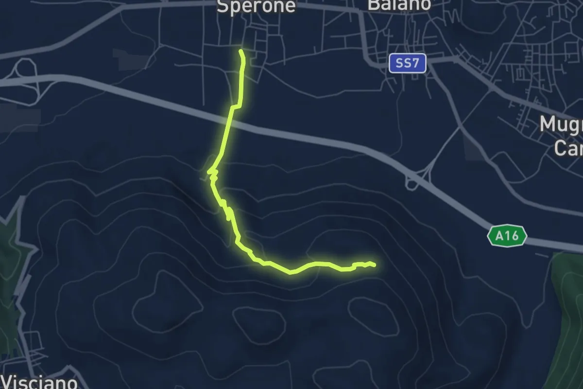
Il torone
6.4 km · ↑ 262 m · 2 h 4 min · 12 km away
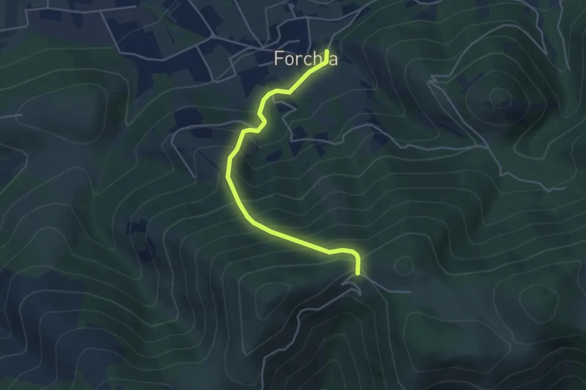
Medium · Trail
Dal Sannio Caudino alla Campania Felix
4.3 km · ↑ 478 m · 2 h 2 min · 13 km away
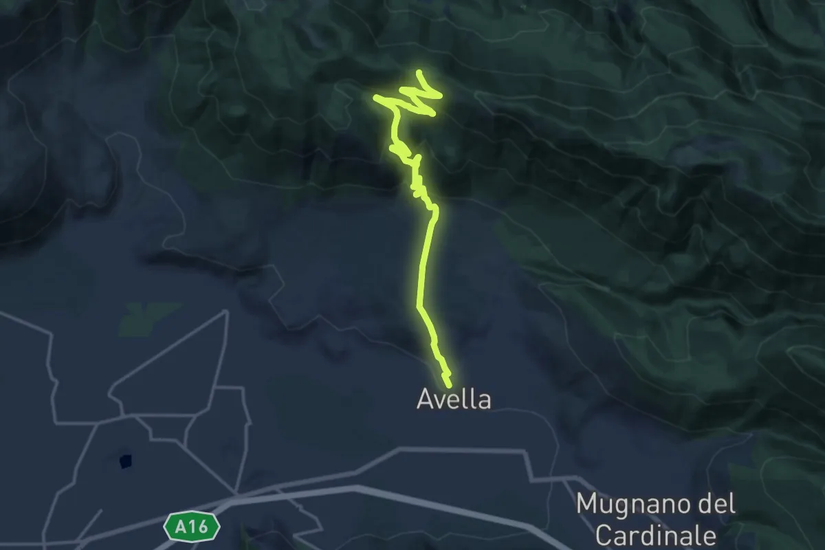
Demanding · Trail
Sentiero del castello
17.3 km · ↑ 857 m · 5 h 56 min · 13 km away
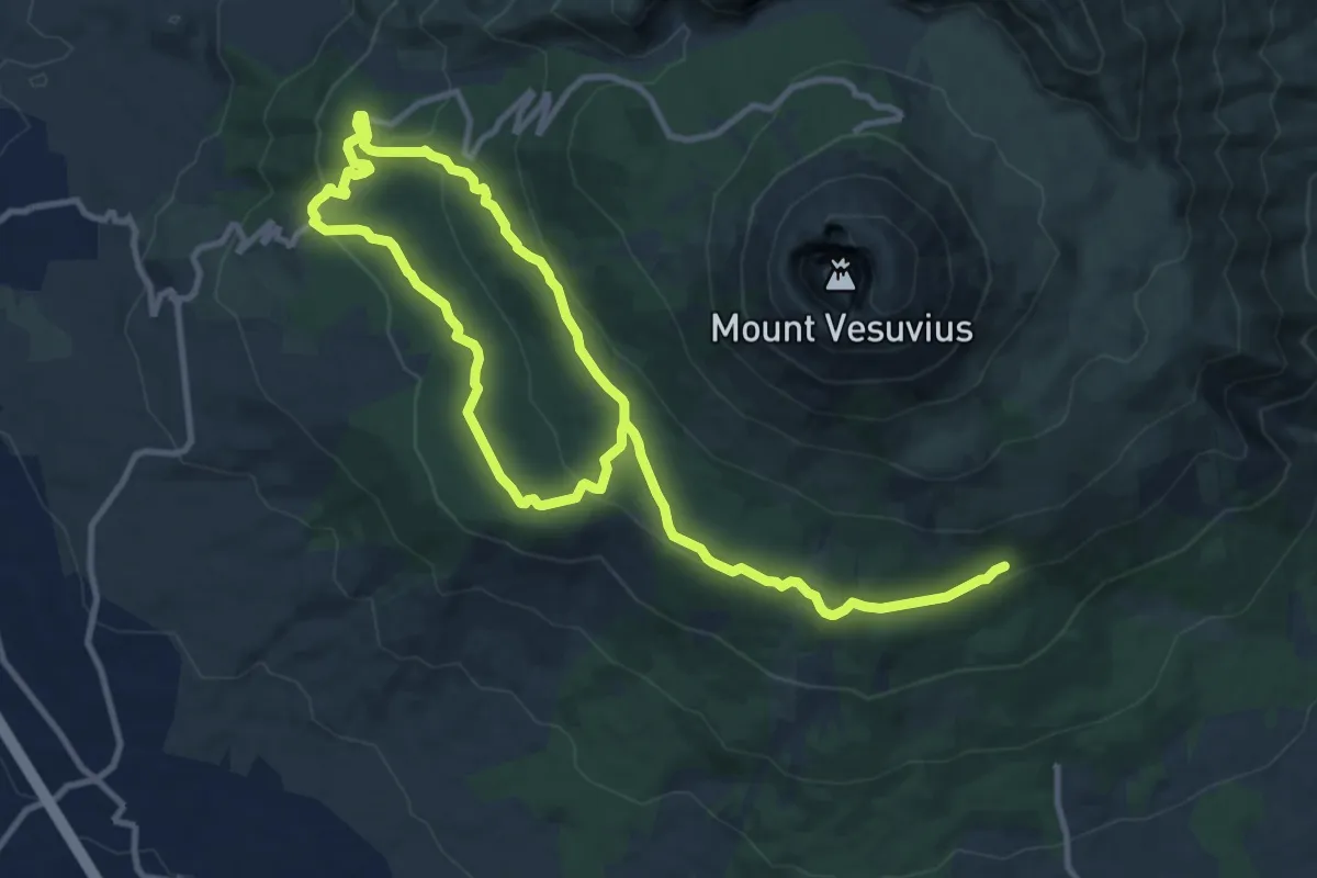
Demanding · Trail
Sentiero 4: Attraverso la Riserva Tirone
19.0 km · ↑ 534 m · 5 h 39 min · 13 km away
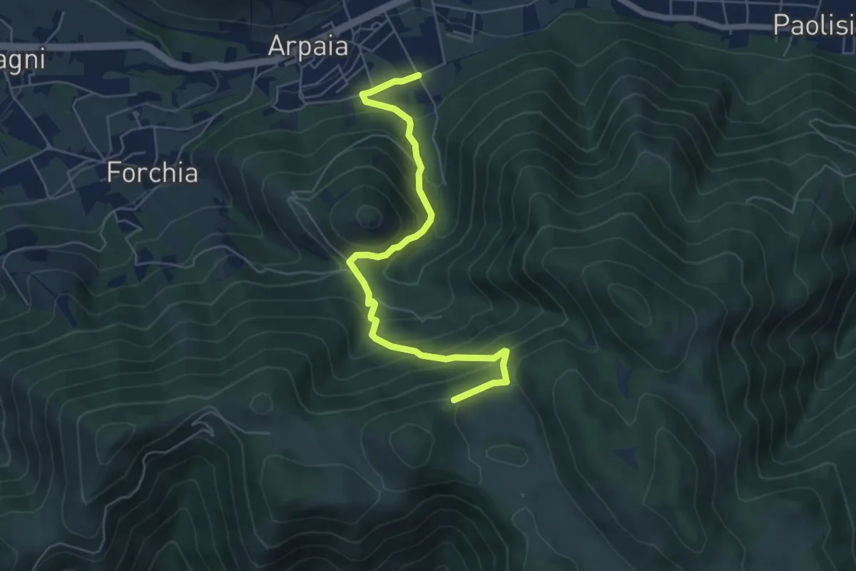
Medium · Trail
Dalle forche Caudine ai pianori
6.6 km · ↑ 538 m · 2 h 44 min · 13 km away
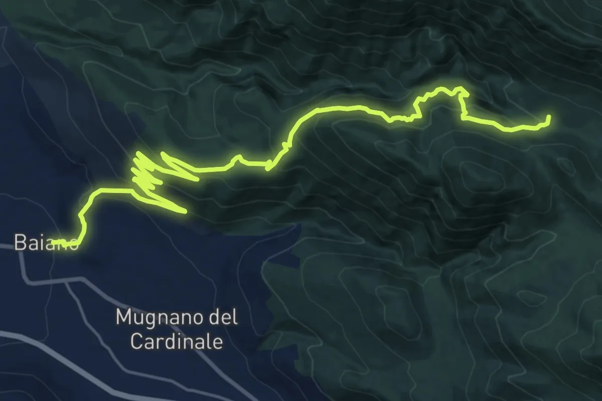
Demanding · Cabin
Baiano – Fonte Campo di San Giovanni
12.7 km · ↑ 1107 m · 5 h 9 min · 14 km away
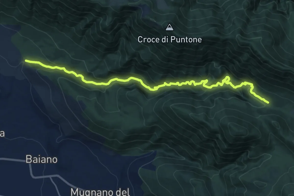
Demanding · Cabin
Via dei Cristiani
17.6 km · ↑ 1036 m · 6 h 24 min · 14 km away
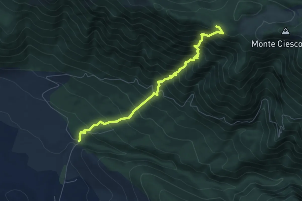
Demanding · Trail
Sentiero dell'eco
6.9 km · ↑ 886 m · 3 h 33 min · 14 km away
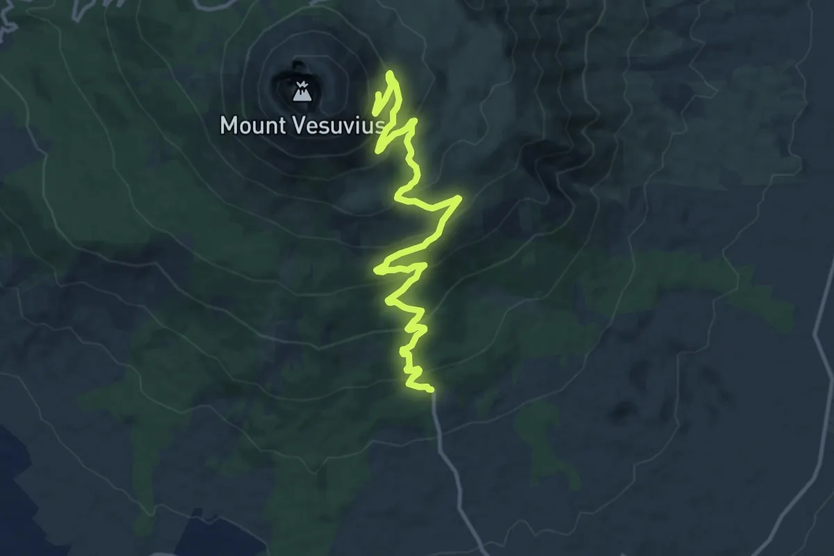
Medium · Trail
Sentiero 6: La Strada Matrone
14.0 km · ↑ 721 m · 4 h 52 min · 14 km away
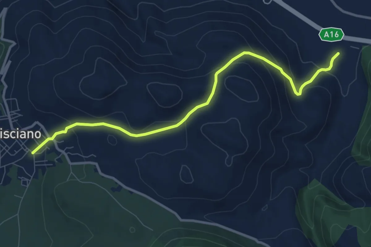
Medium · Trail
Santa Maria del Carpinello
9.4 km · ↑ 388 m · 3 h 3 min · 14 km away
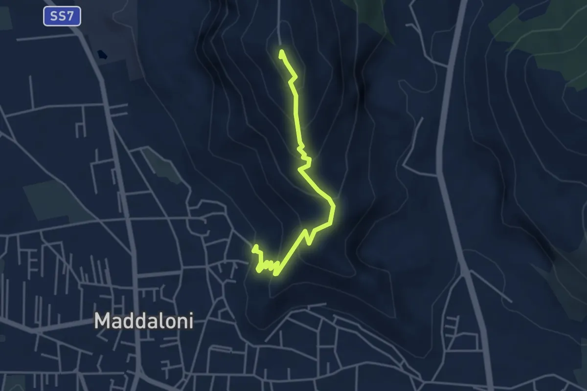
Easy · Summit
Maddaloni – Colle Di Maio
4.0 km · ↑ 309 m · 1 h 37 min · 14 km away
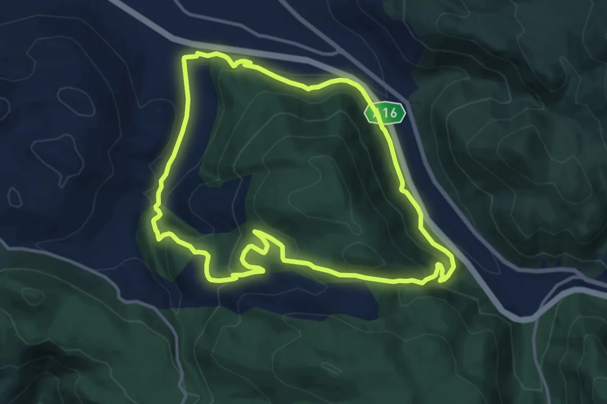
Medium · Trail
Valico Renella
11.5 km · ↑ 478 m · 3 h 55 min · 15 km away
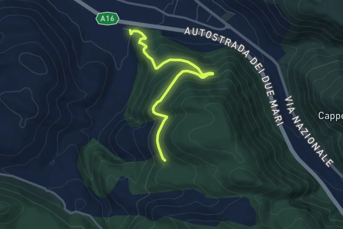
Medium · Trail
Castello Cisterna
7.9 km · ↑ 424 m · 2 h 48 min · 15 km away
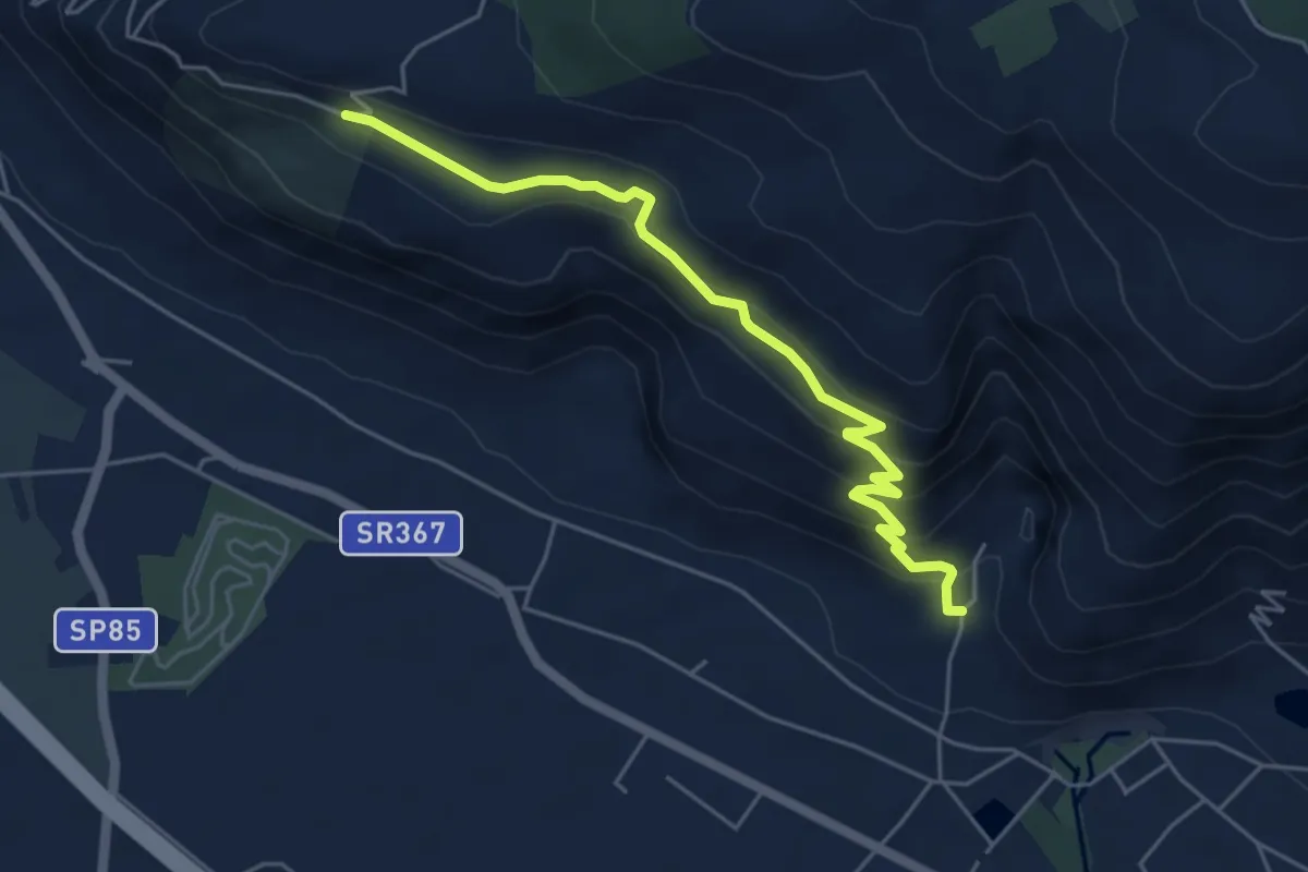
Medium · Trail
vallone monaco -salita delle pezze
5.8 km · ↑ 323 m · 2 h 4 min · 15 km away